Terry Road, Smithtown Boulevard, Lake Shore Road, Portion Road, Horseblock Road
Eastbound Views
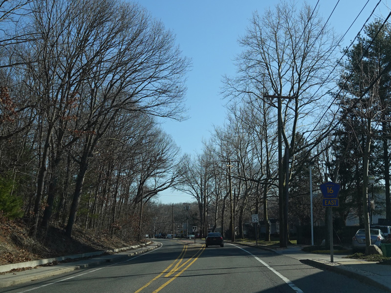
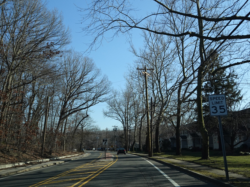
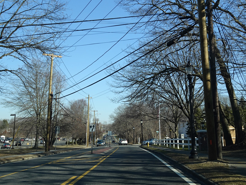
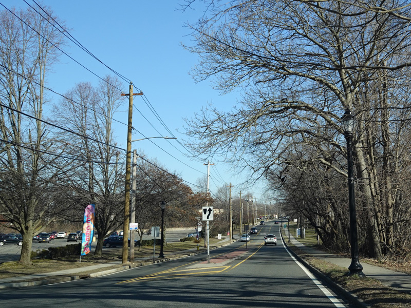
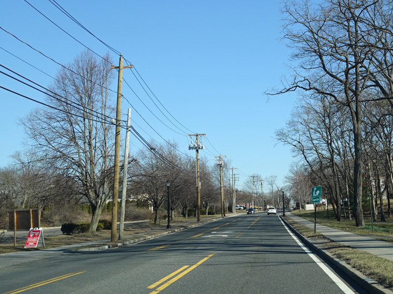
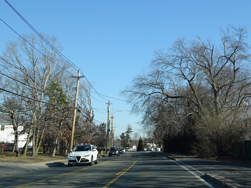
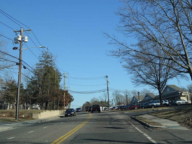
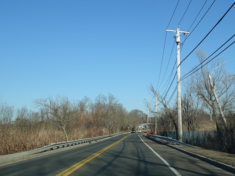
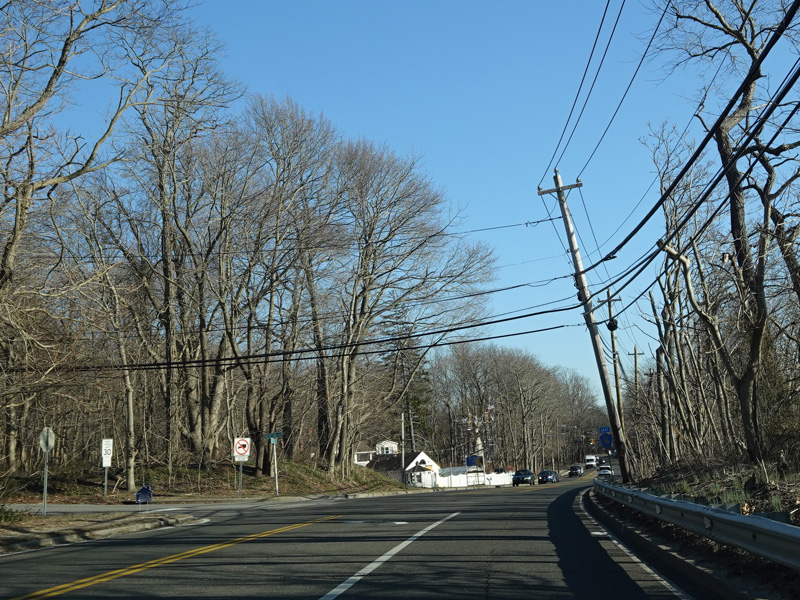
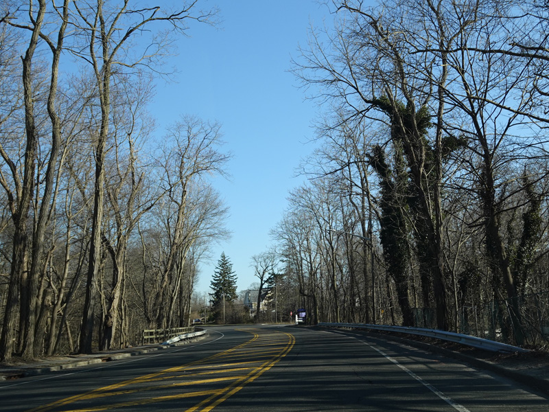
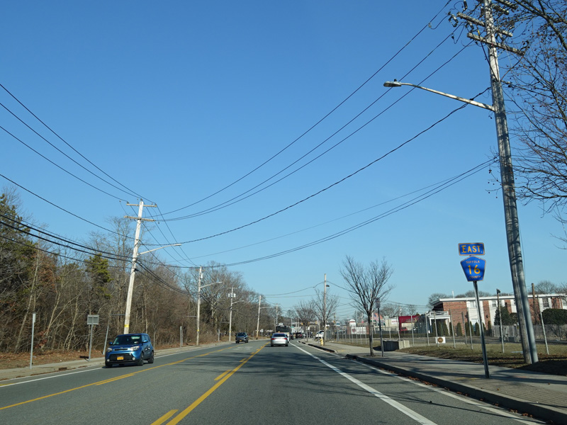
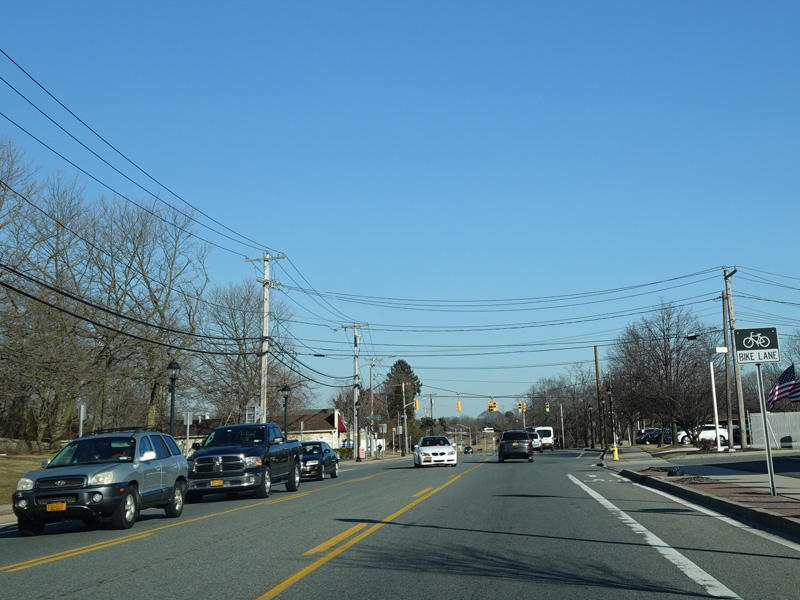
Terry Road runs south as a two-lane undivided road.
Photos taken February 2020.
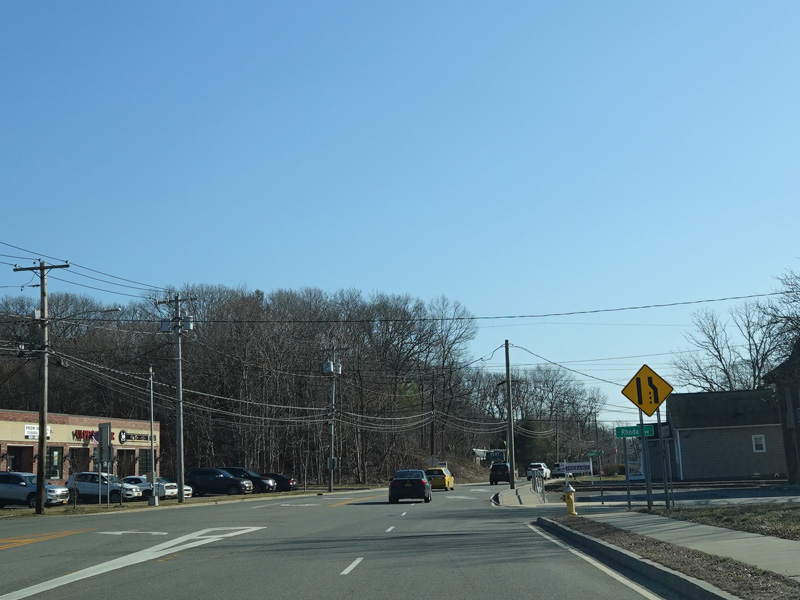
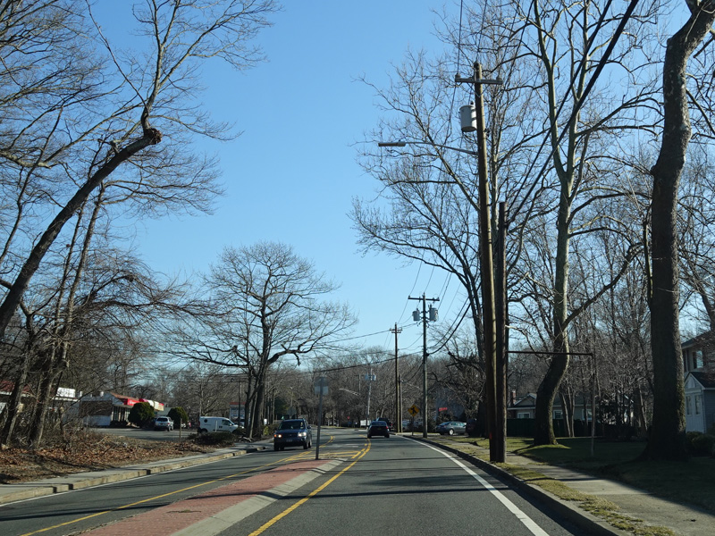
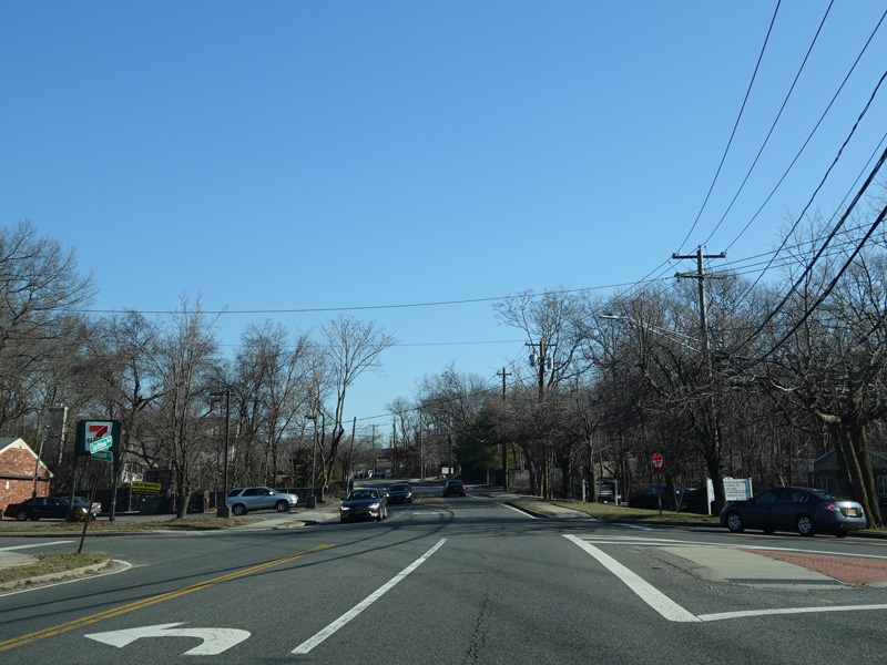
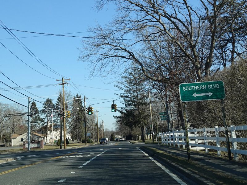
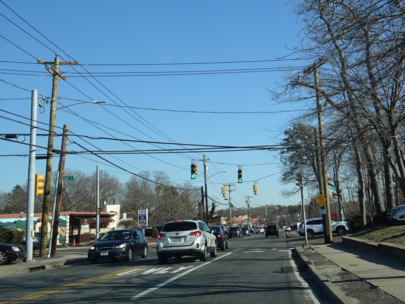
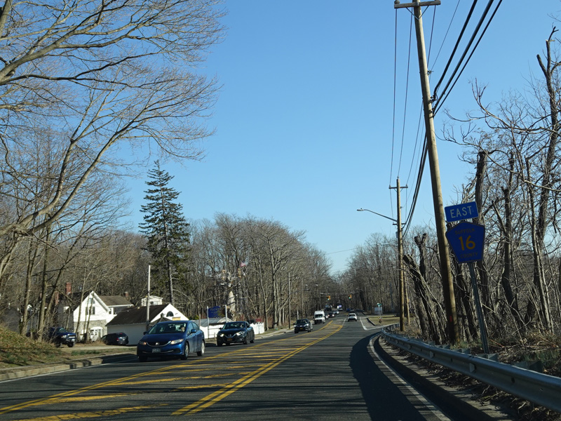
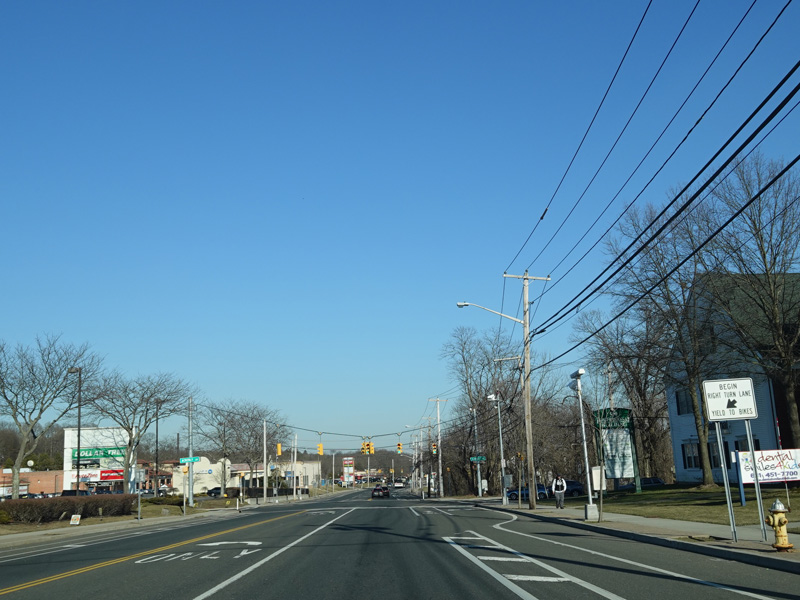
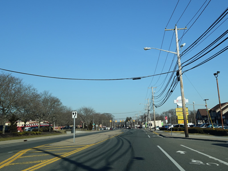
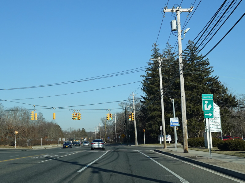
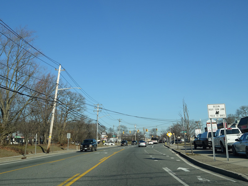
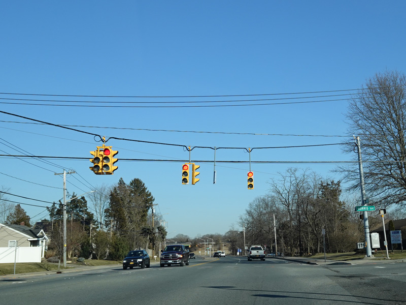
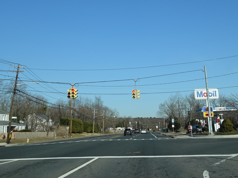
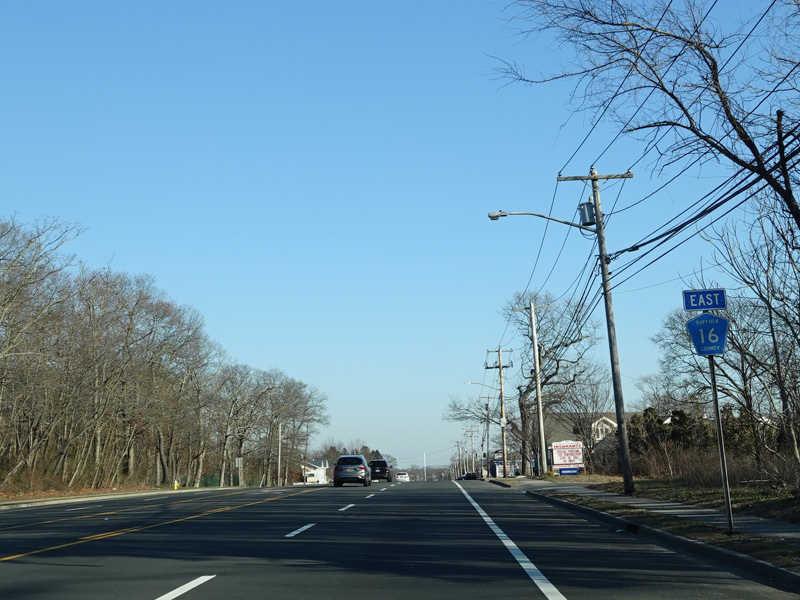
Terry Road splits off to the right at this traffic light to become a local street. Continue straight ahead onto Smithtown Boulevard to stay on CR 16.
Photos taken February 2020.
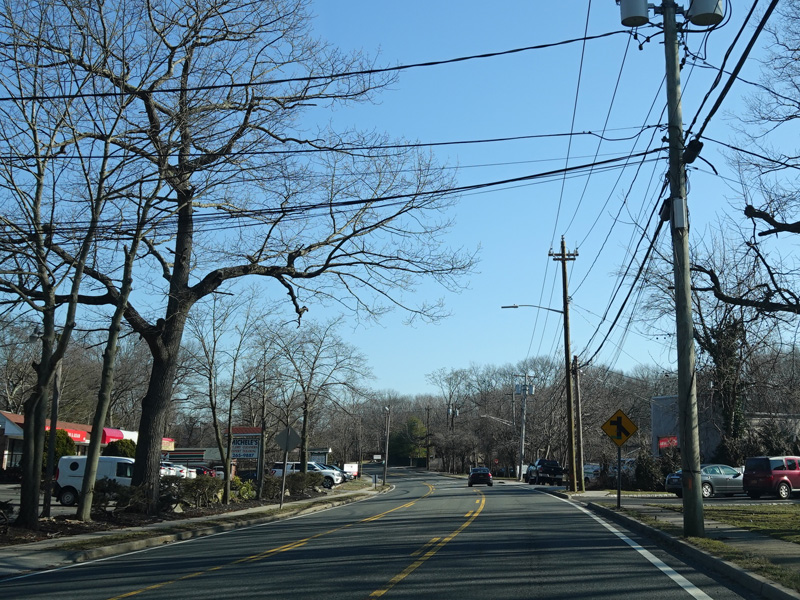
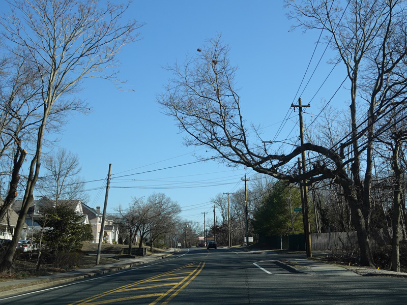

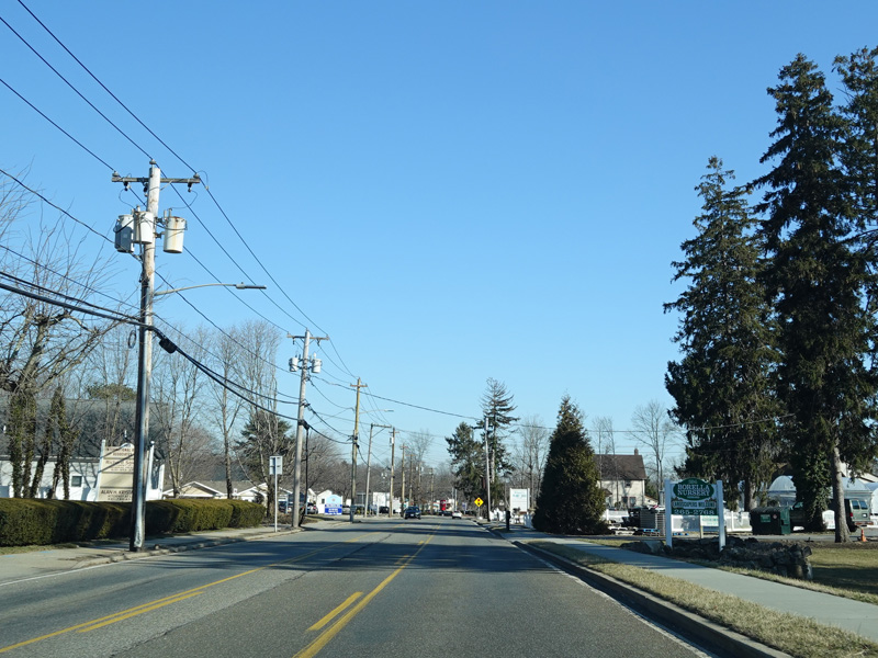
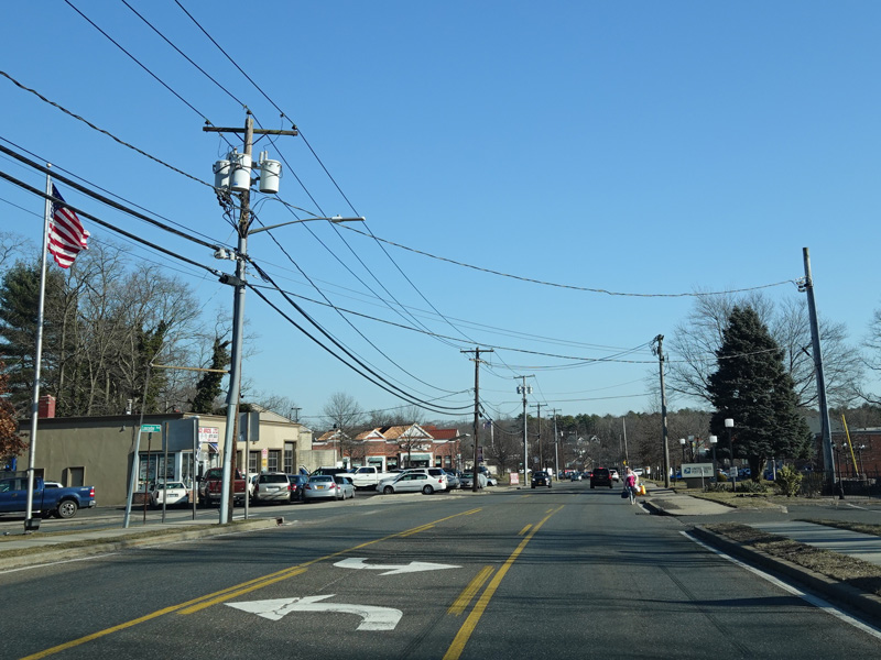
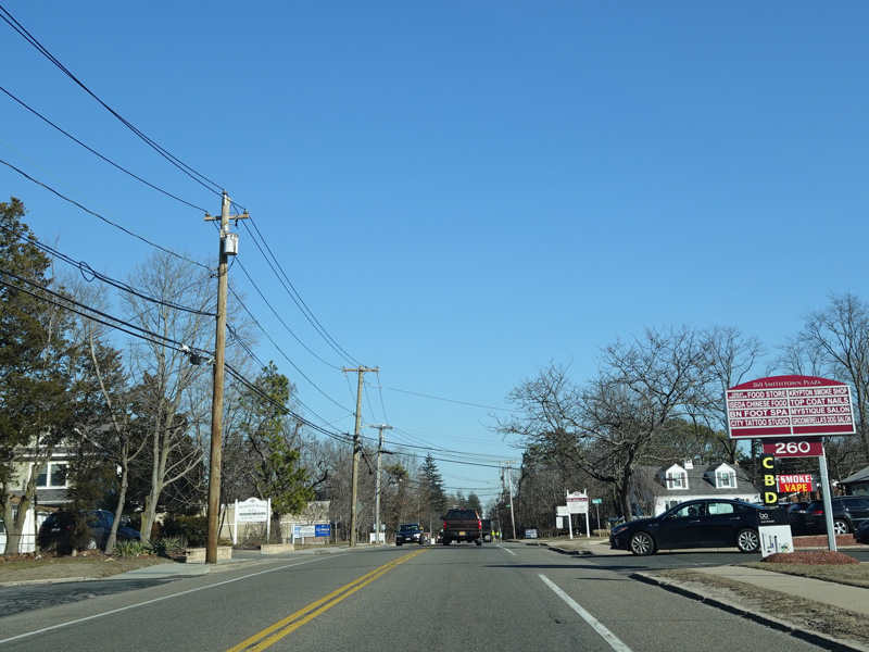
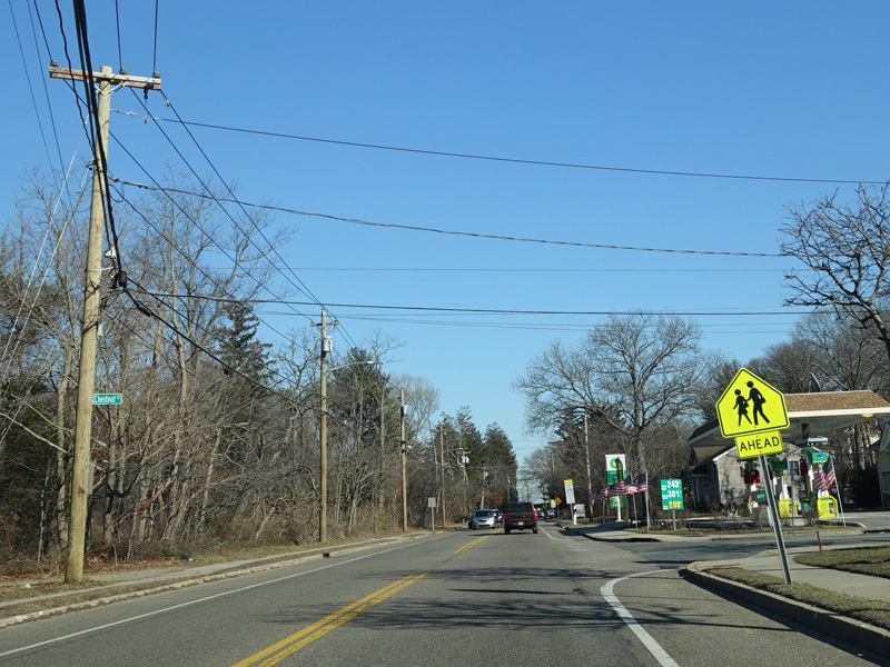

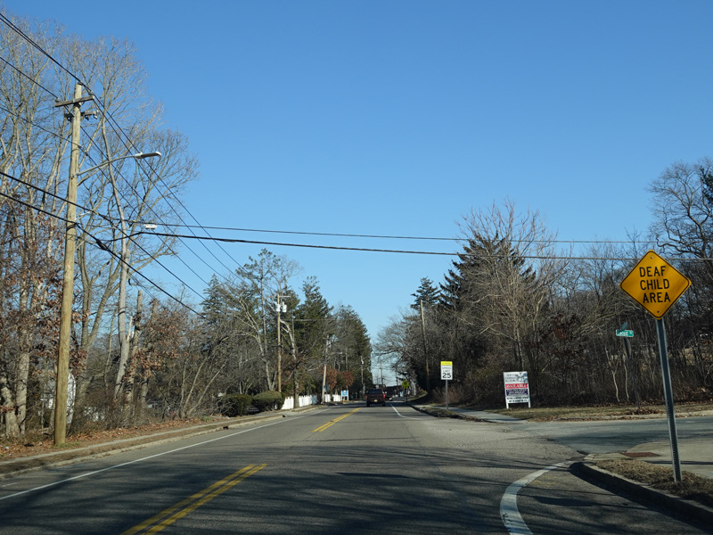
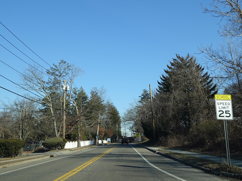
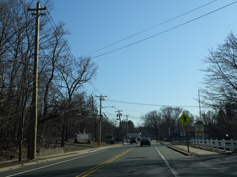
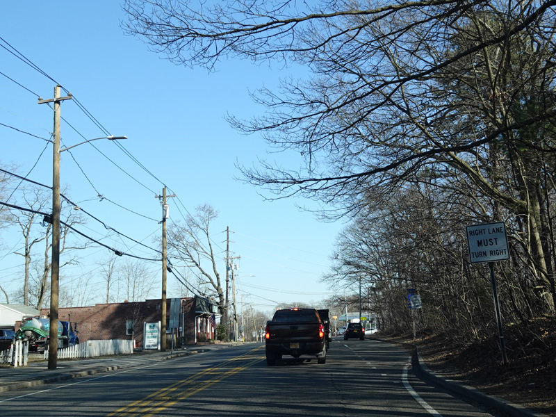
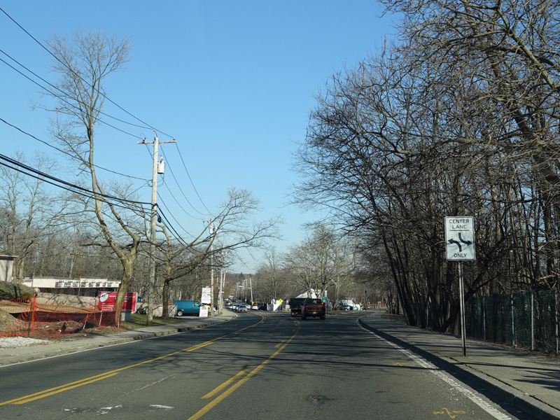
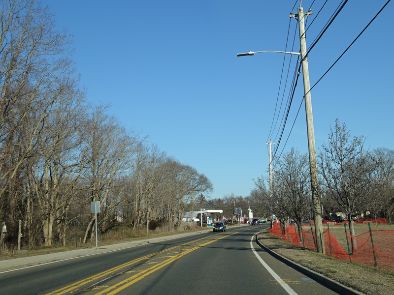
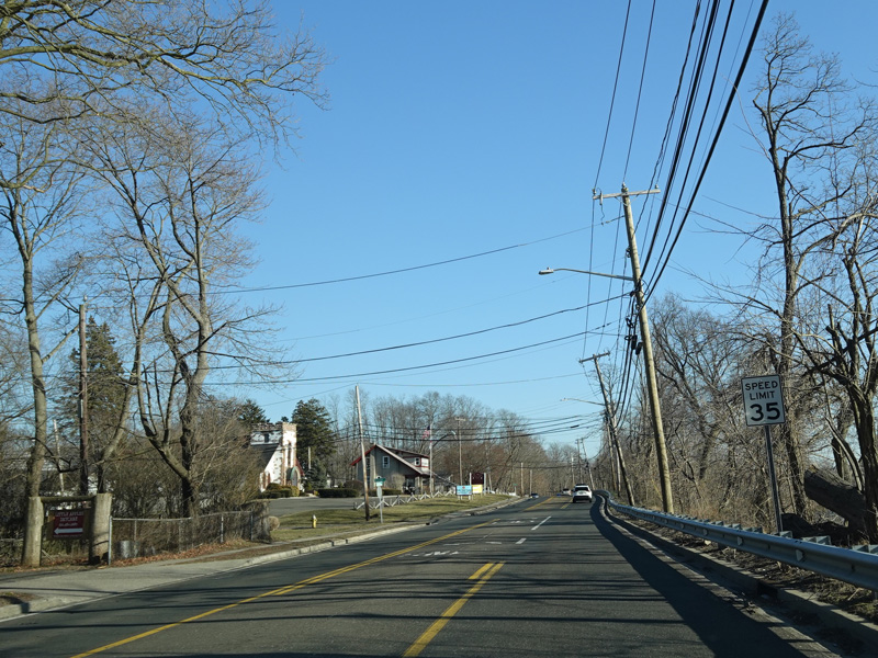
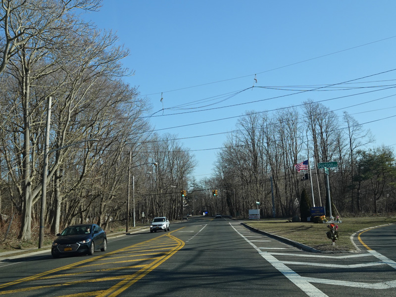
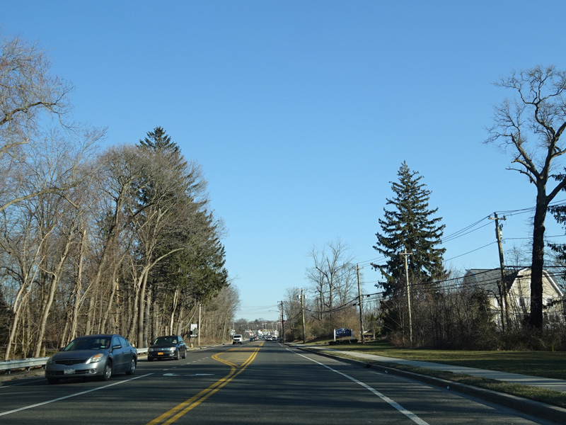
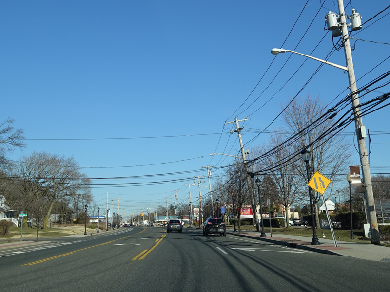
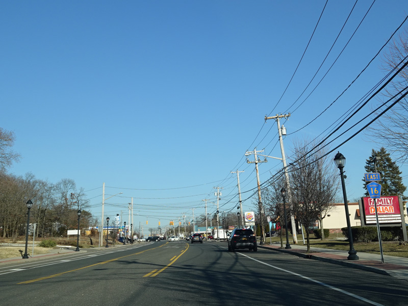
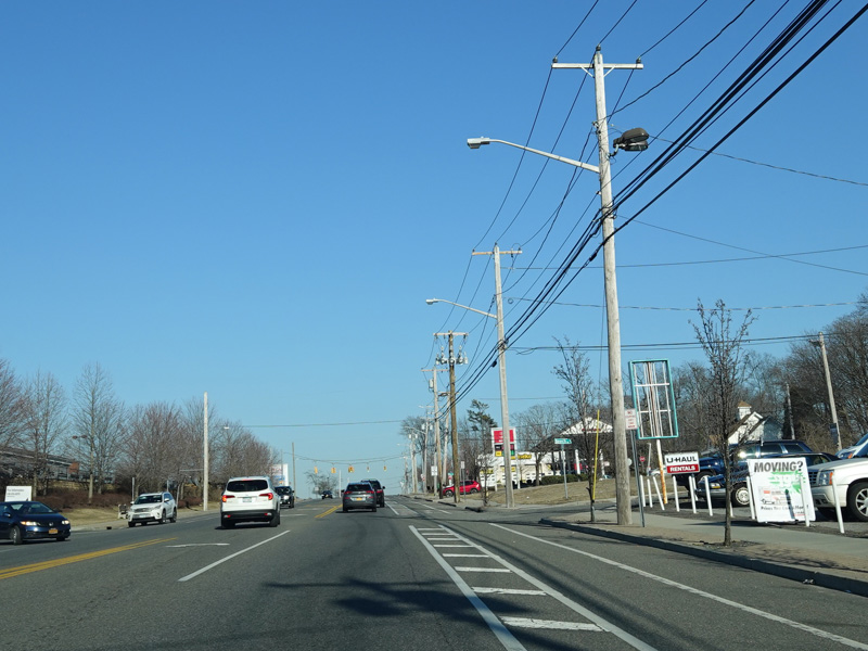
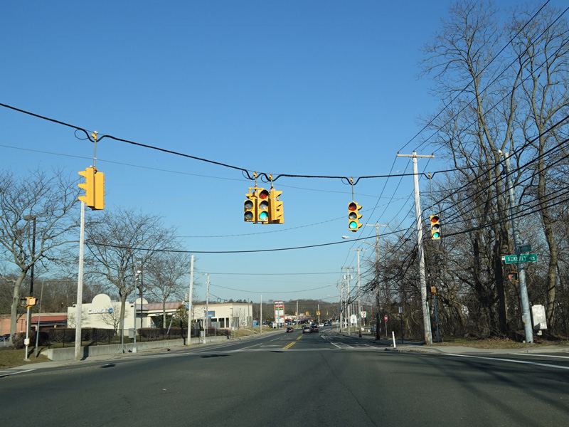
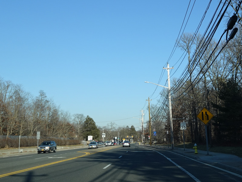
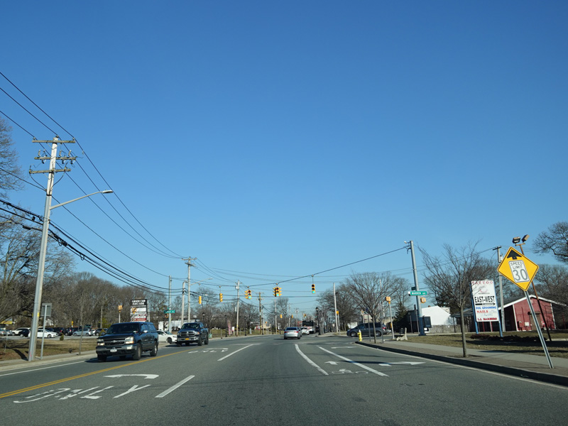
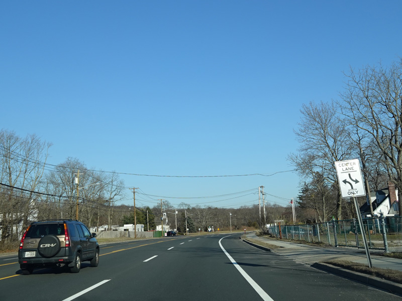
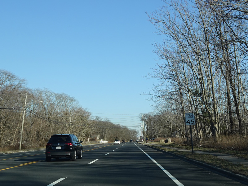
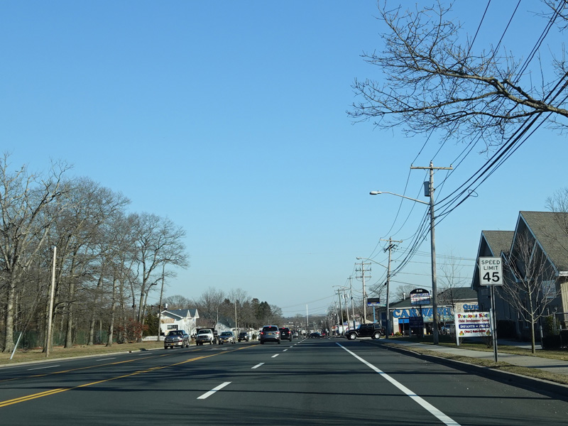
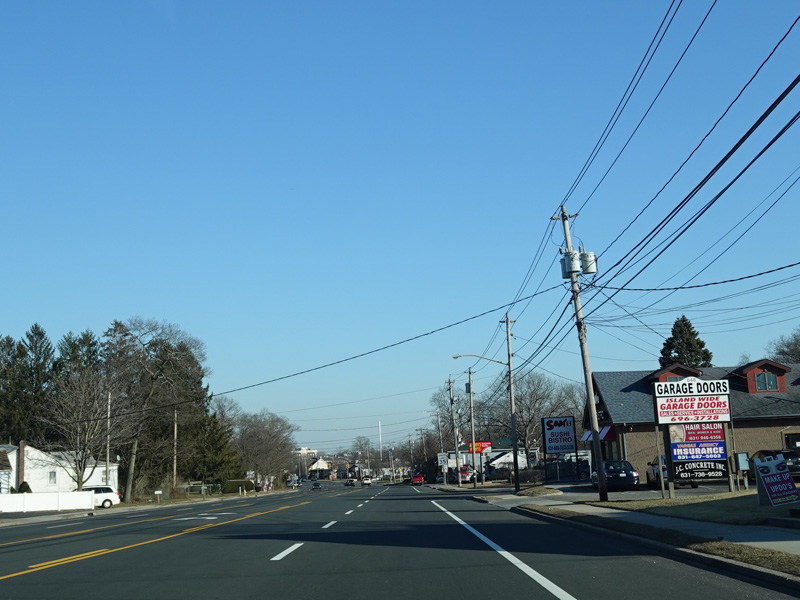
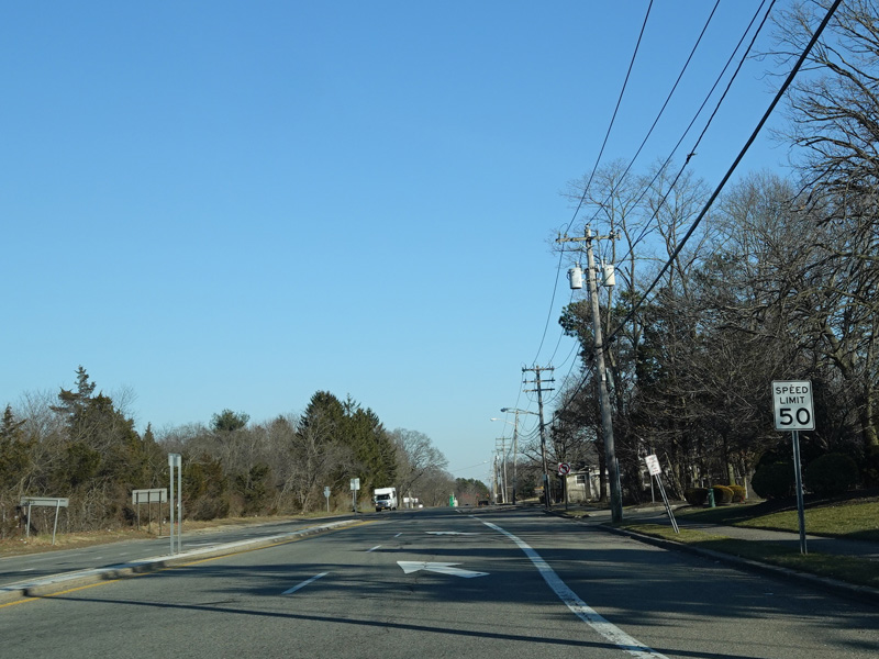
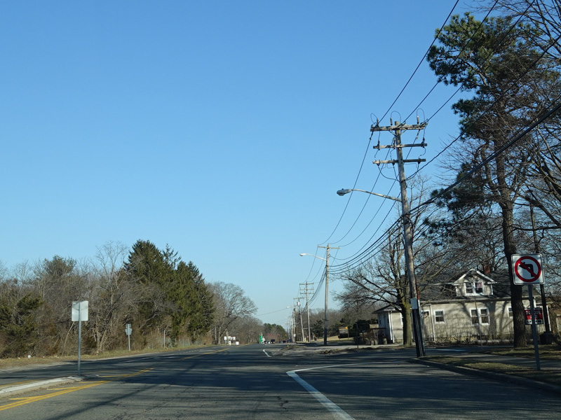
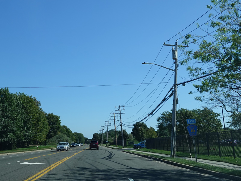
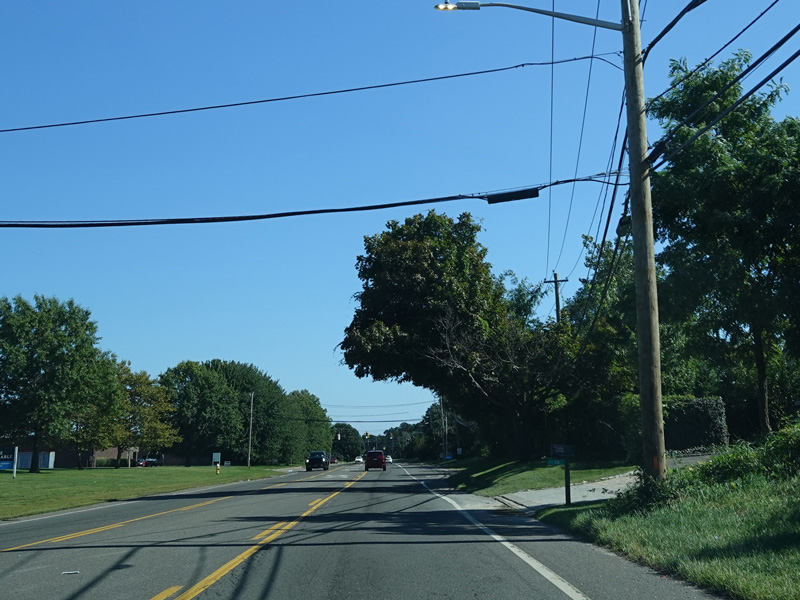
Smithtown Boulevard runs east as a two-lane road. It is undivided most of the way, but there are a few spots where it has a median for a short distance.
Photos taken February 2020.
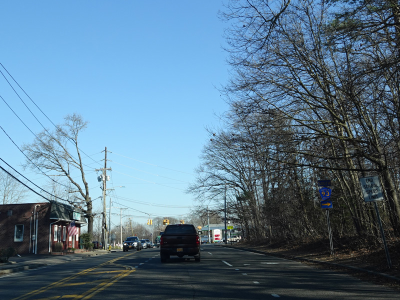
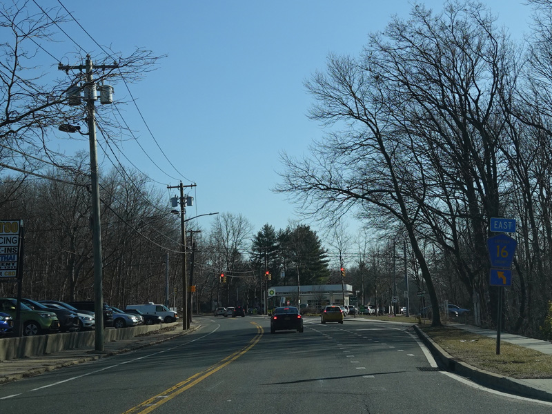
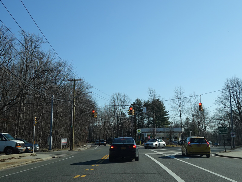
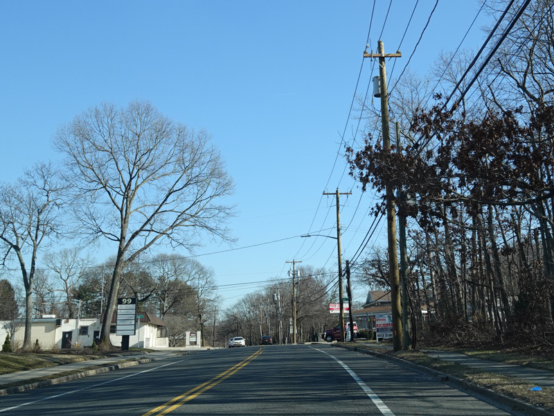
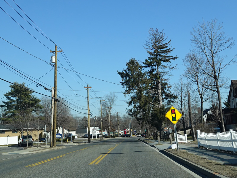
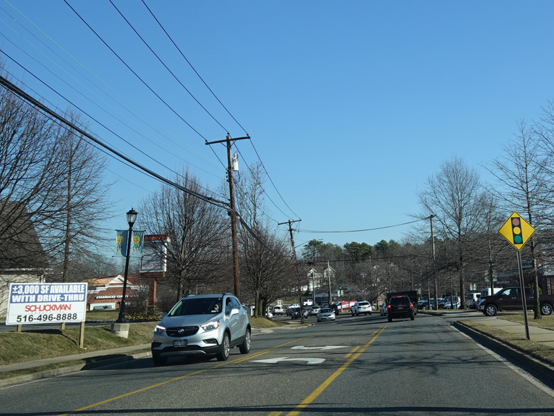
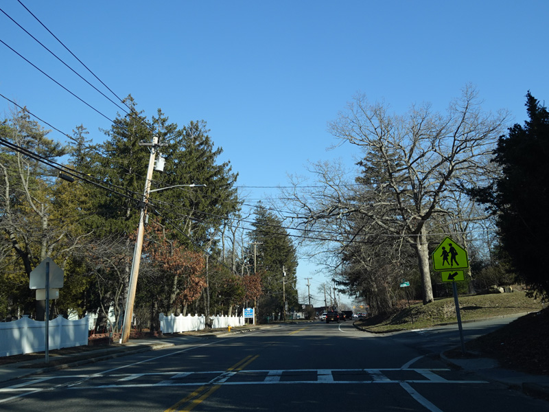
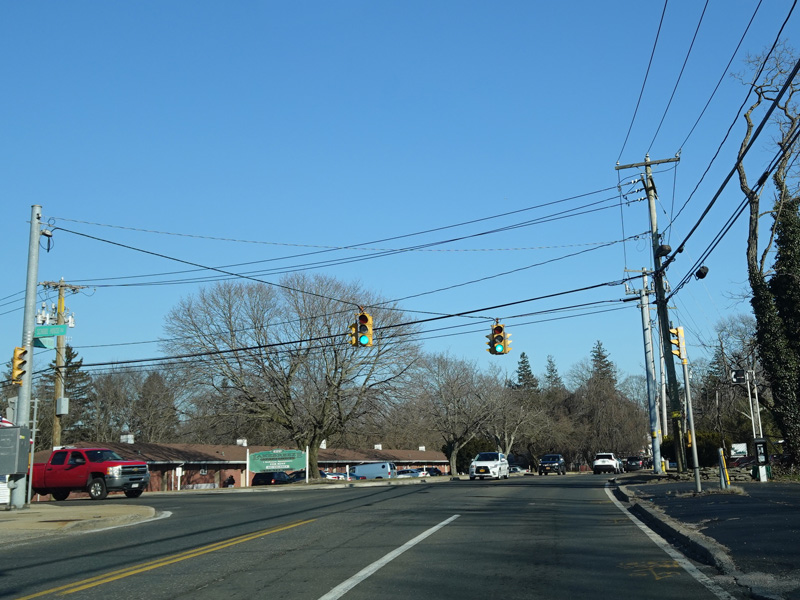
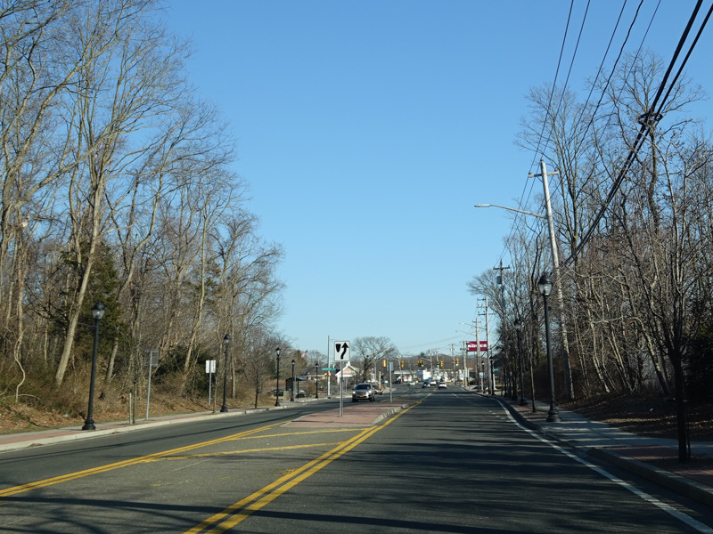
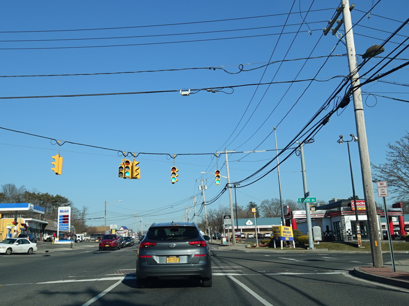
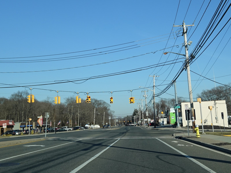
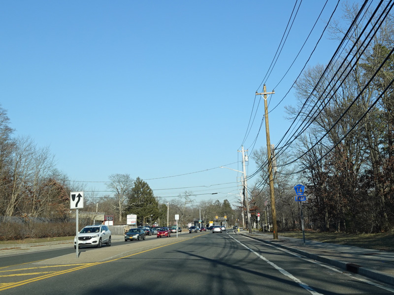
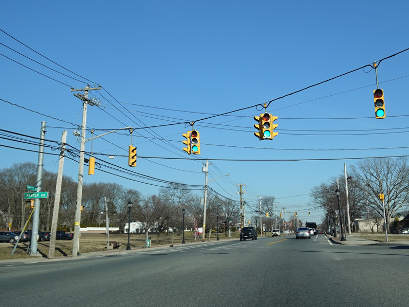
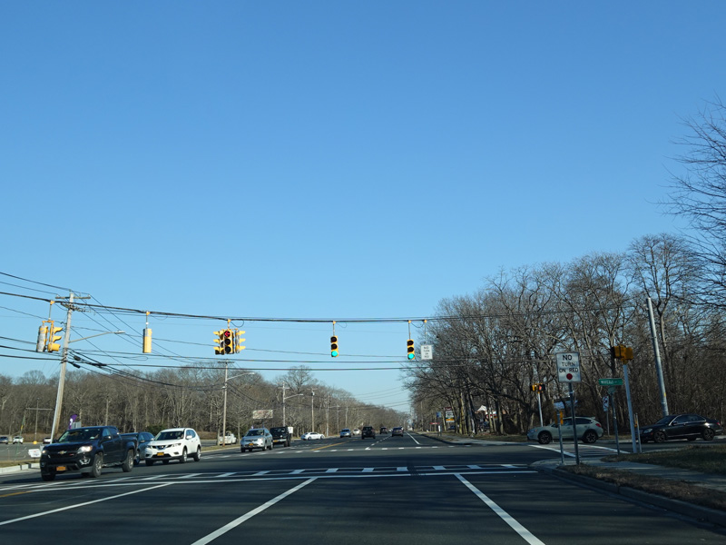
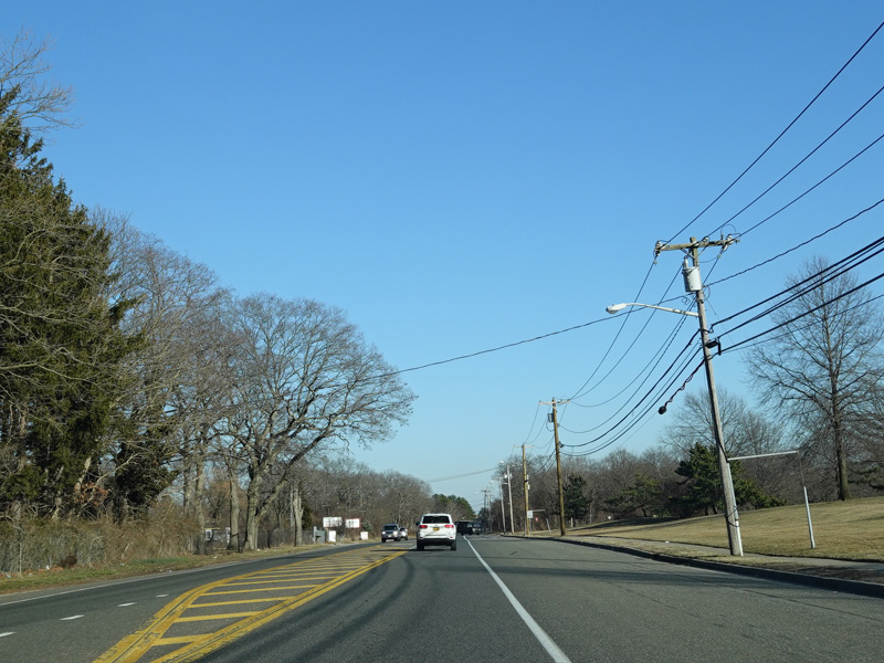
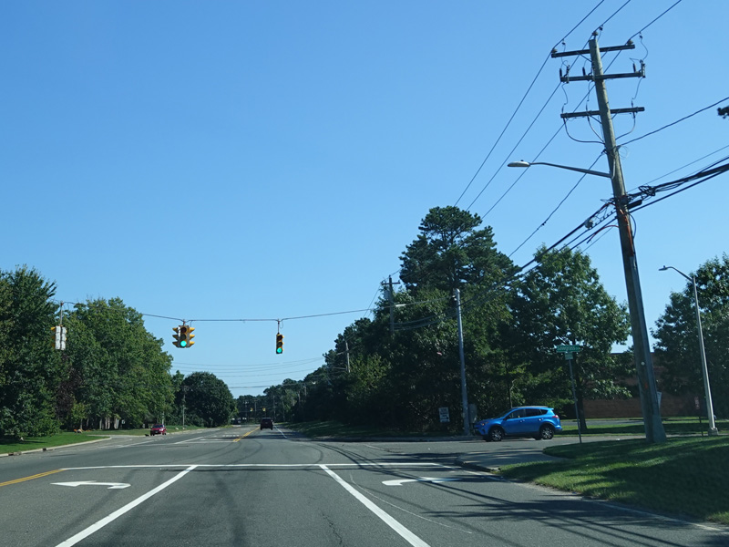
Rosevale Avenue (CR 93) begins on the right at a traffic light.
Photos taken February 2020.
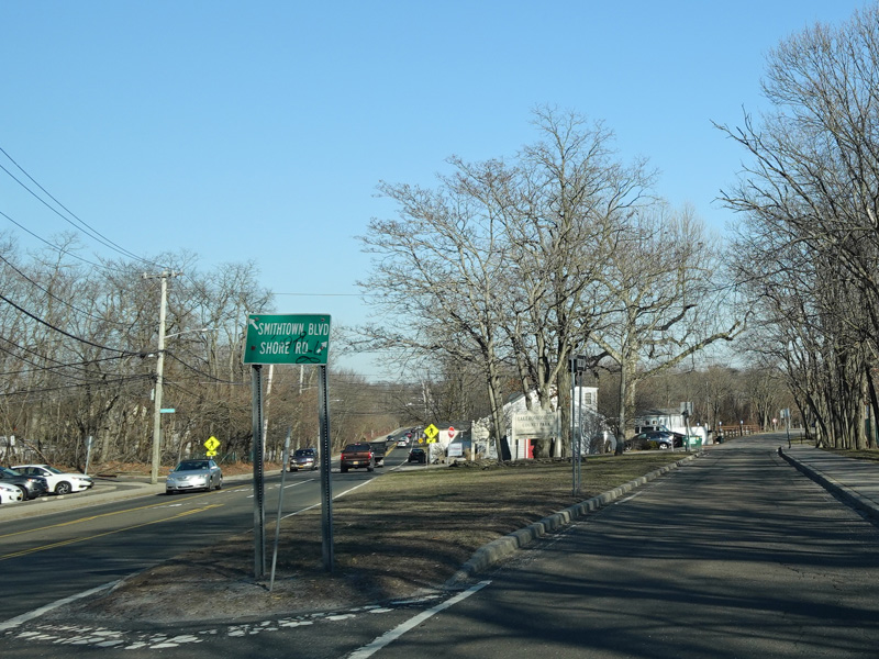

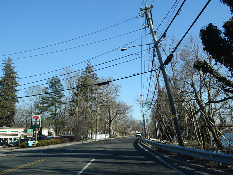
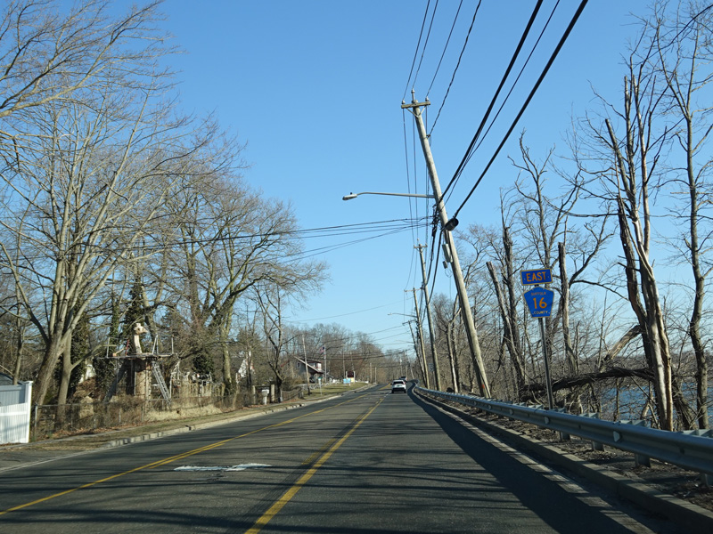
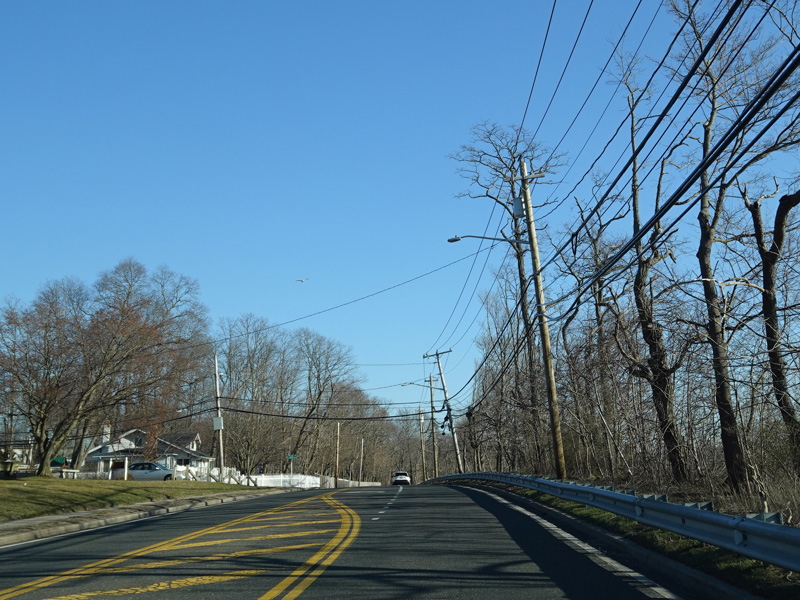
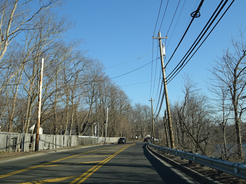
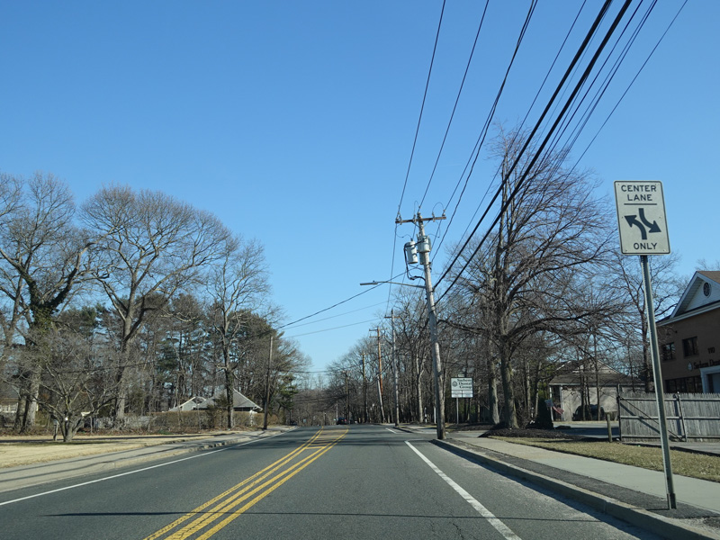
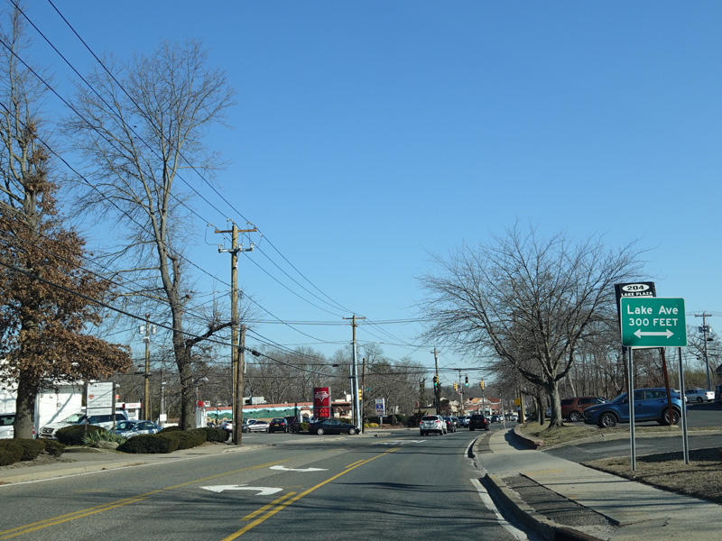
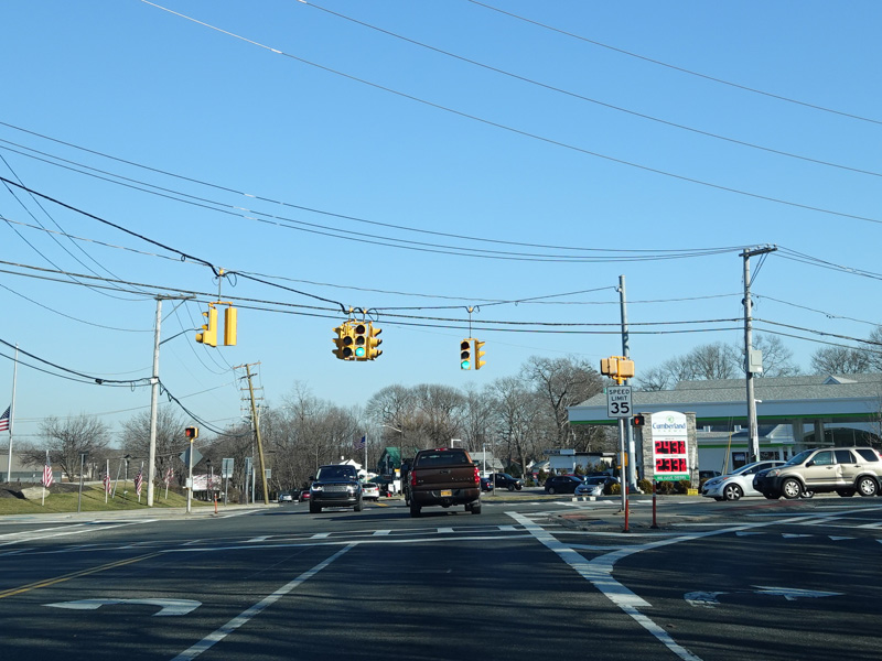
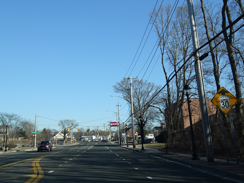
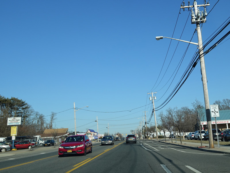
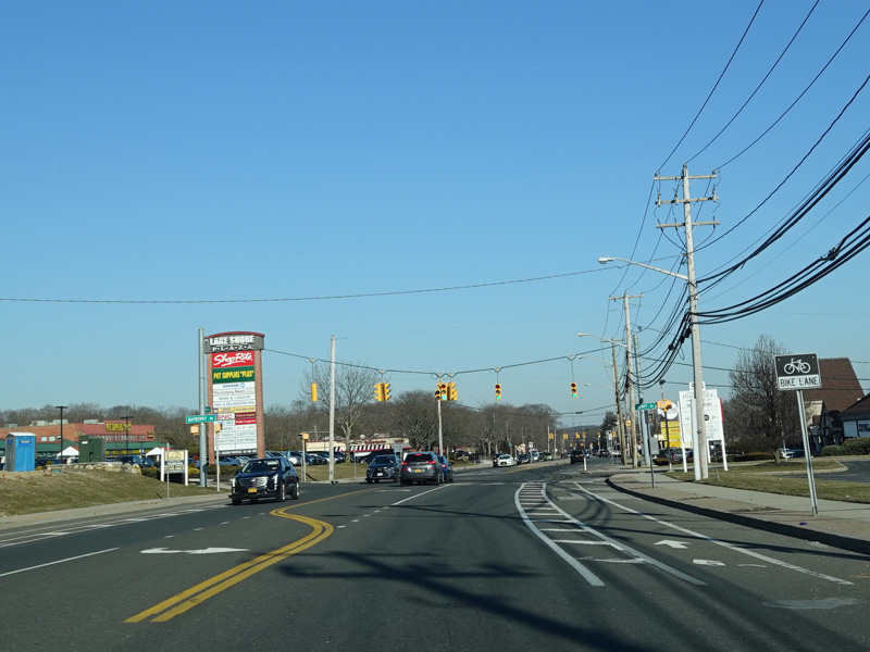
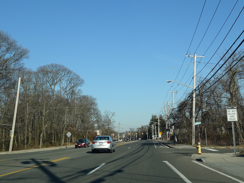
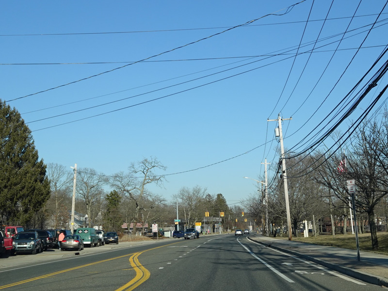
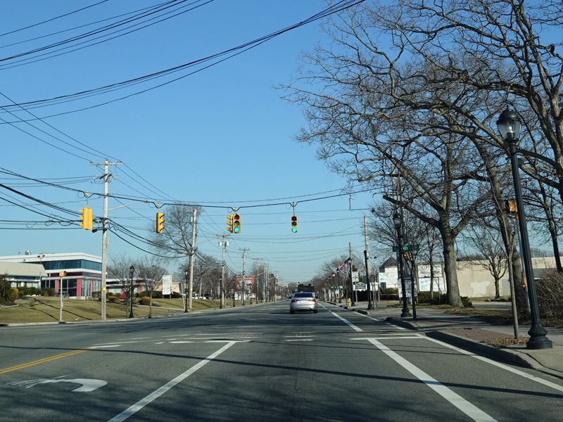
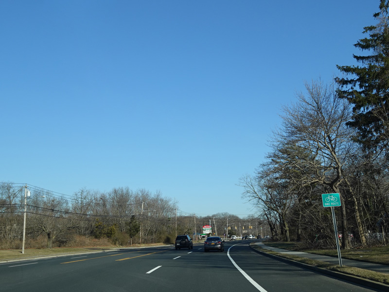
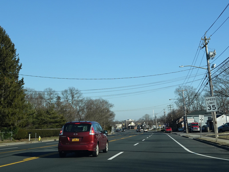
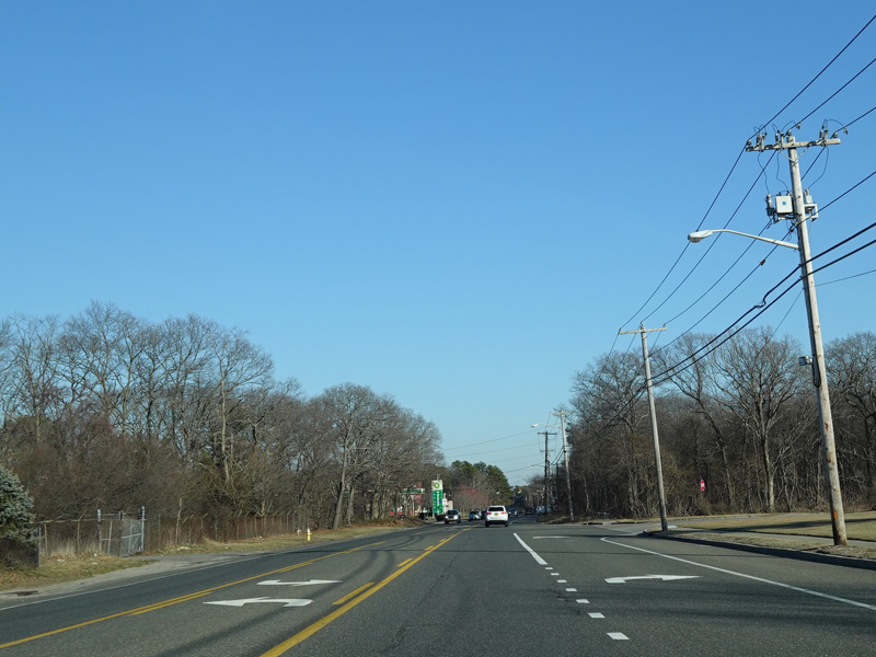
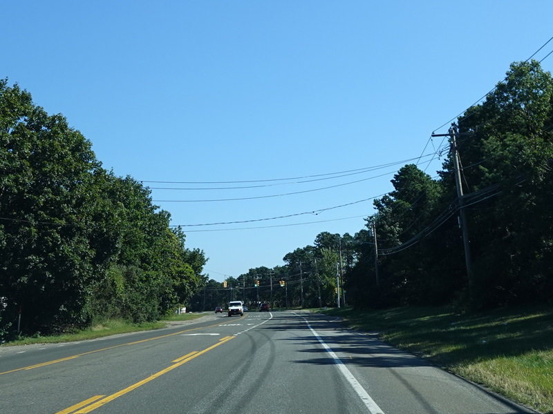
Smithtown Boulevard runs east along the north side of Lake Ronkonkoma. Shore Road, which leads to the main parking area for the lake, splits off to the right. Shortly thereafter, Smithtown Boulevard changes names to become Lake Shore Road.
Photos taken February 2020.
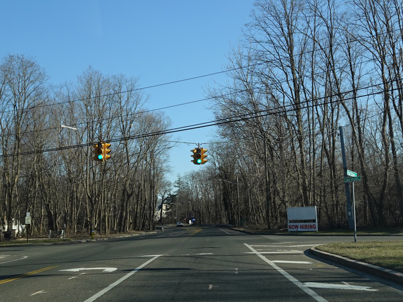
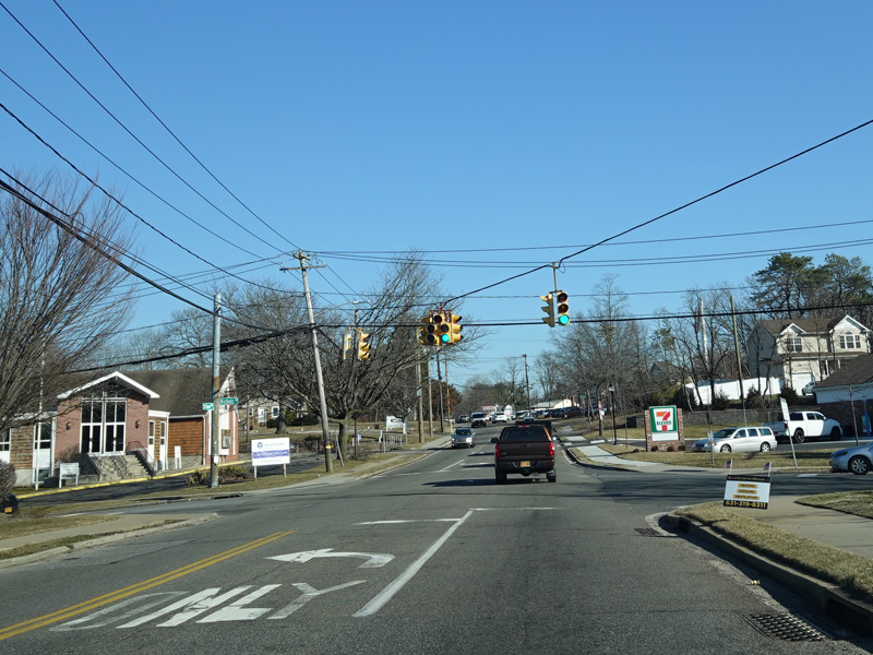
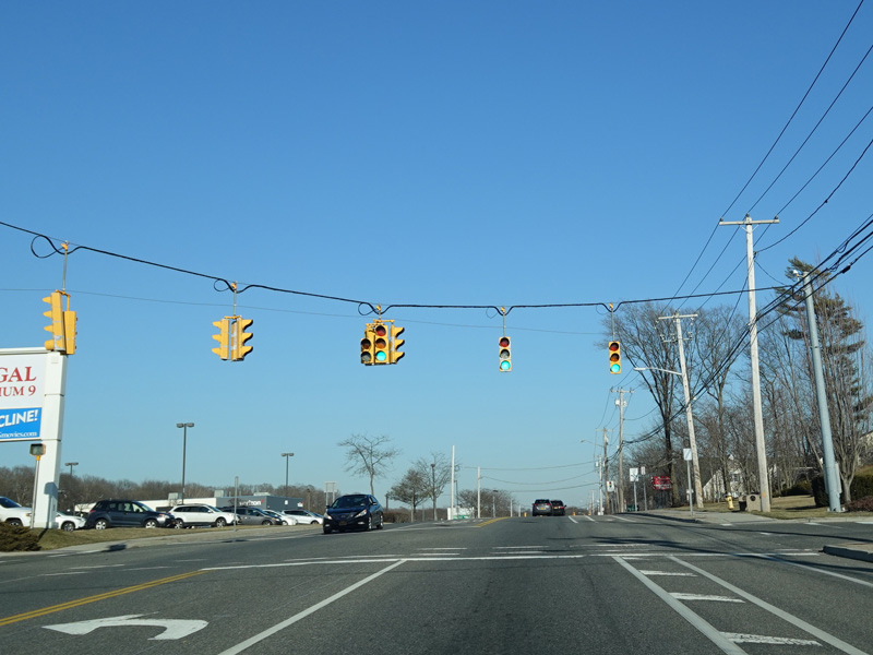
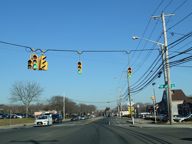
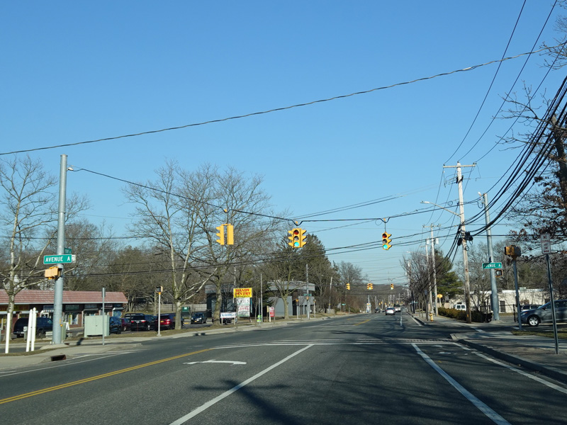
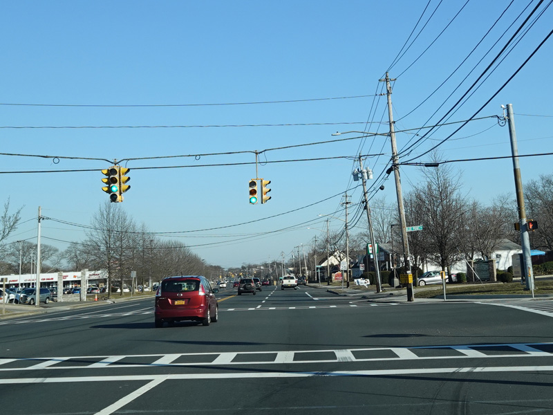
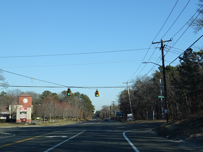
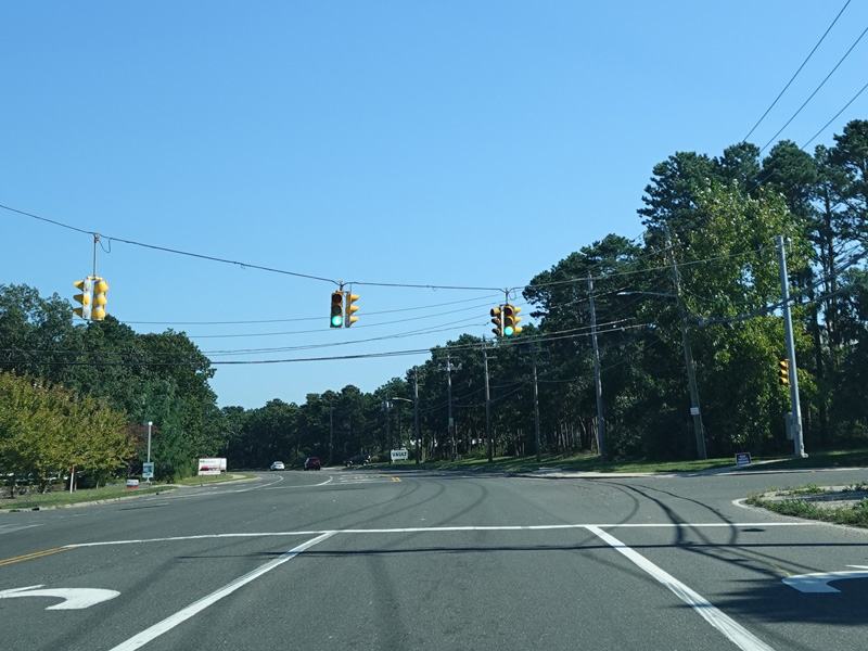
Lake Shore Road splits off to the right at this traffic light to become a local street. Continue straight ahead onto Portion Road to stay on CR 16.
Photos taken February 2020.

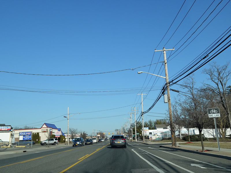
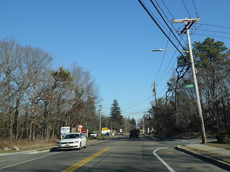
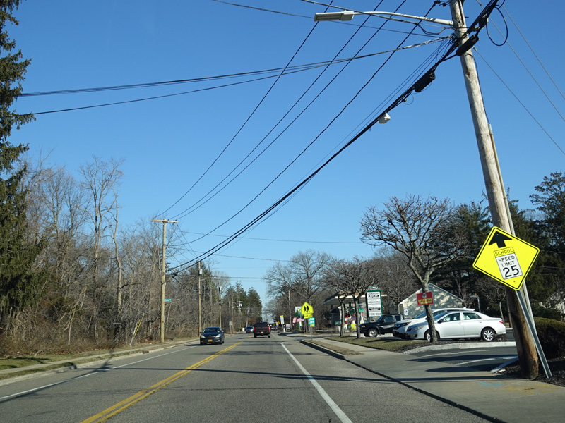
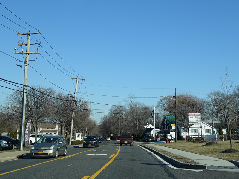
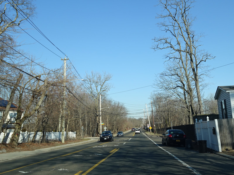
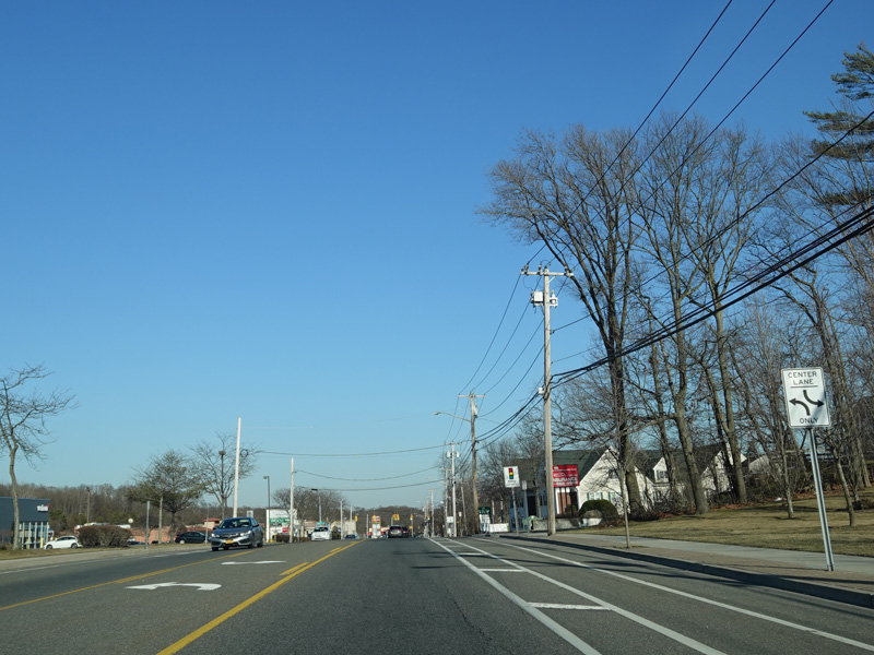
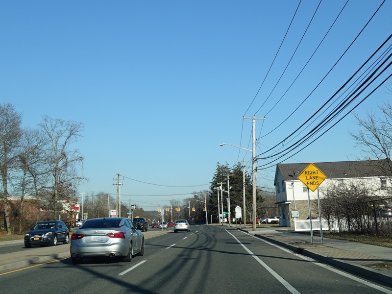
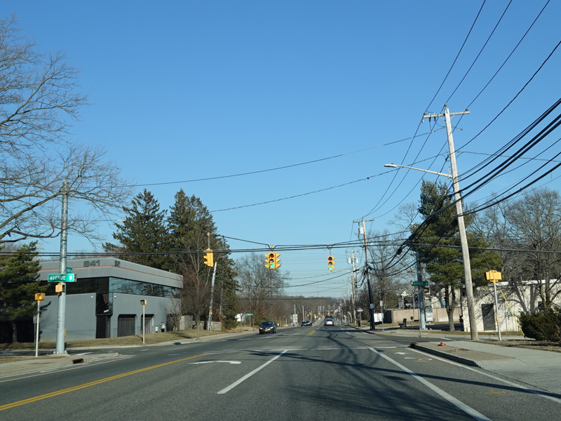
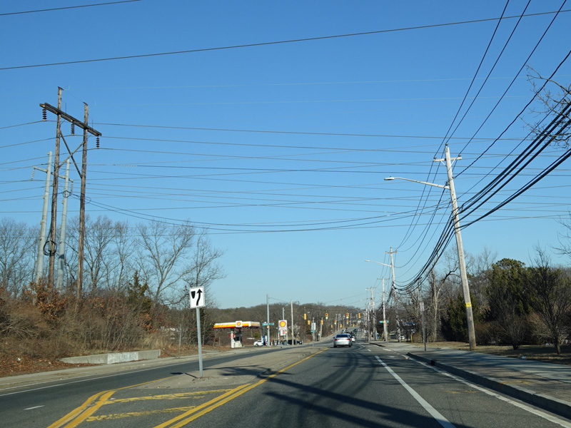
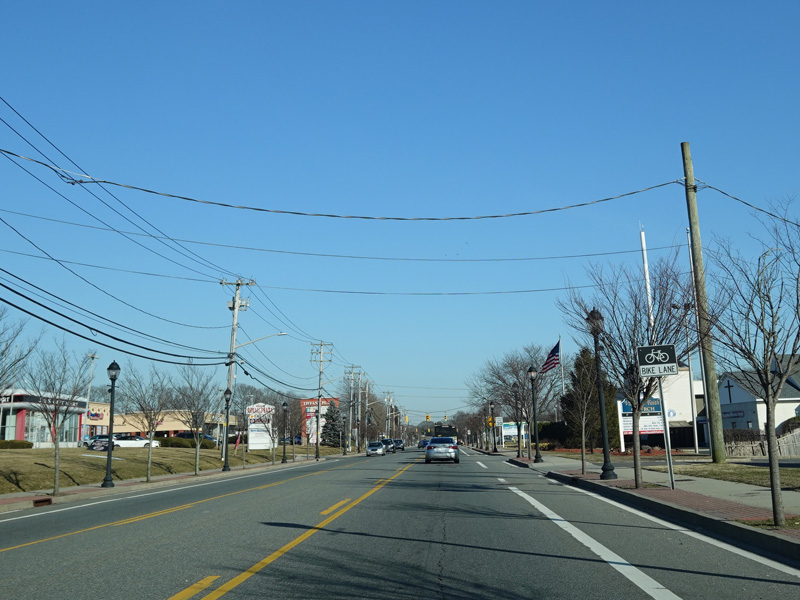
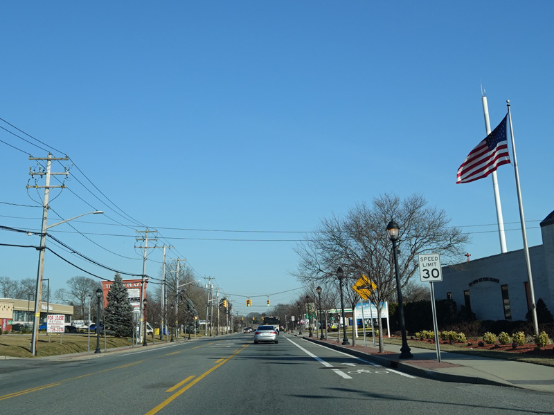
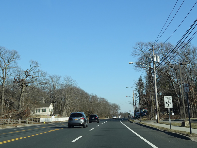
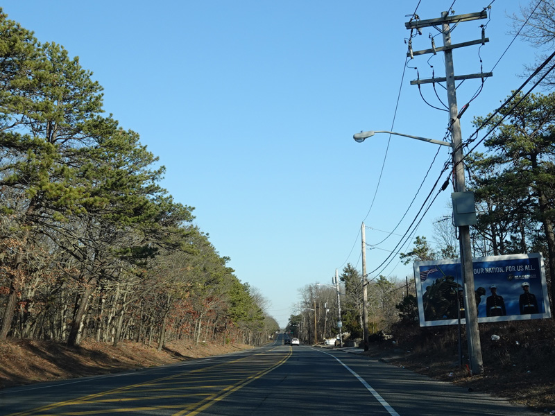
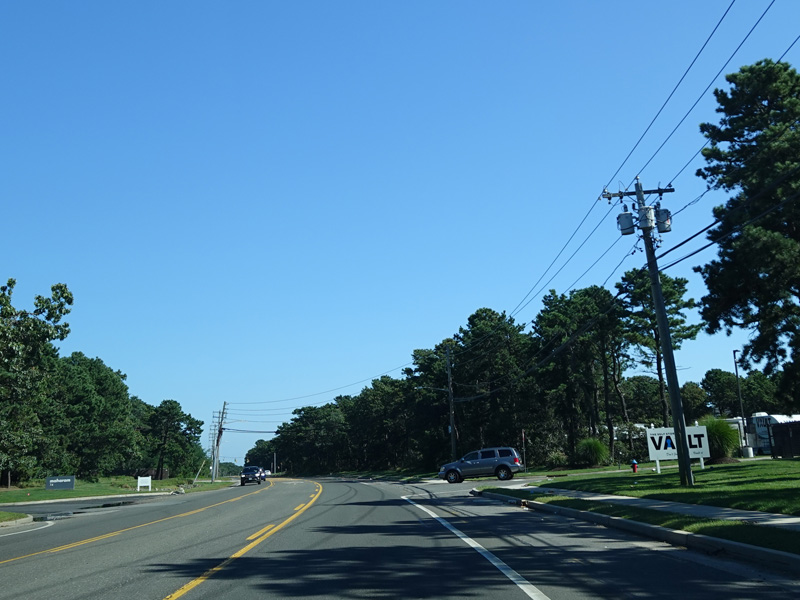
Portion Road runs east through Lake Ronkonkoma.
Photos taken February 2020.
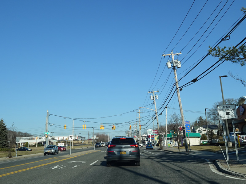
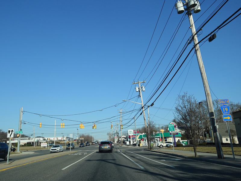
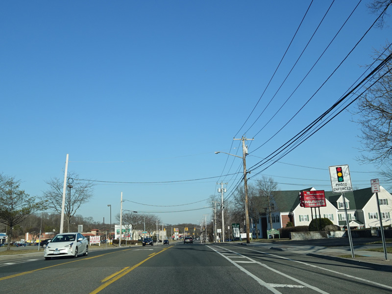
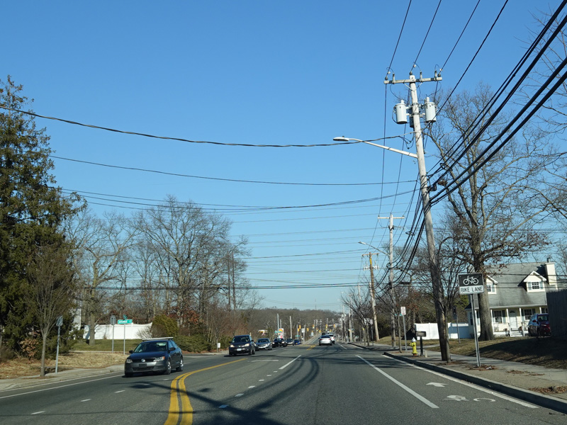
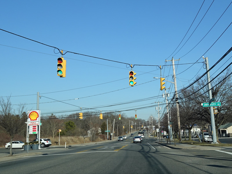
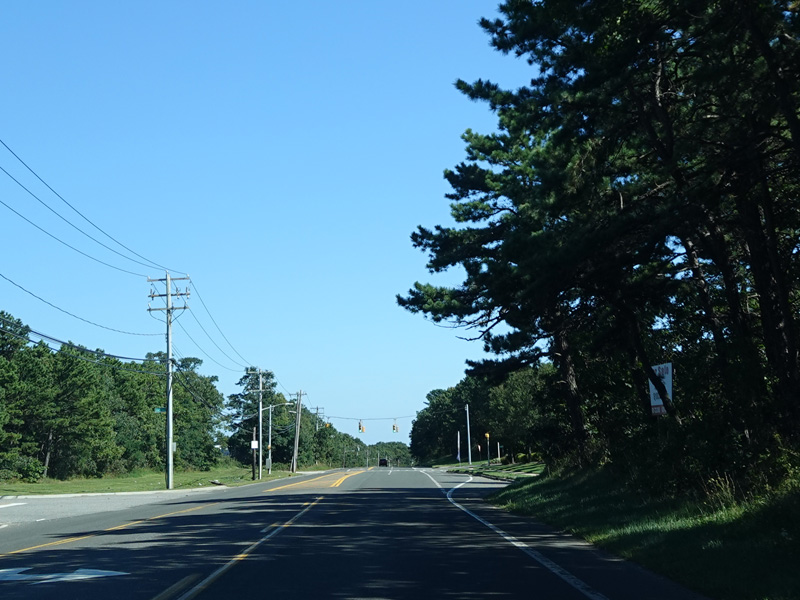
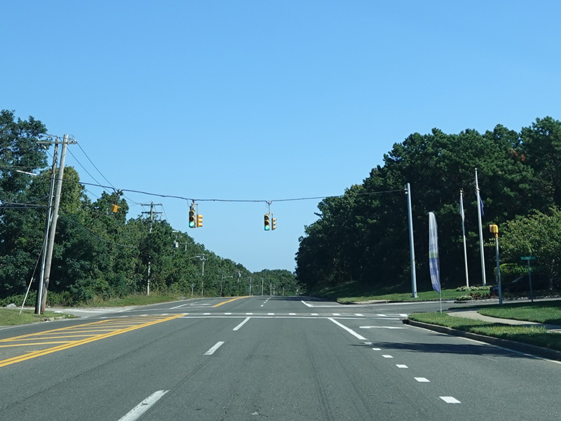
Patchogue-Holbrook Road (CR 19) begins on the right at a traffic light.
Photos taken February 2020.
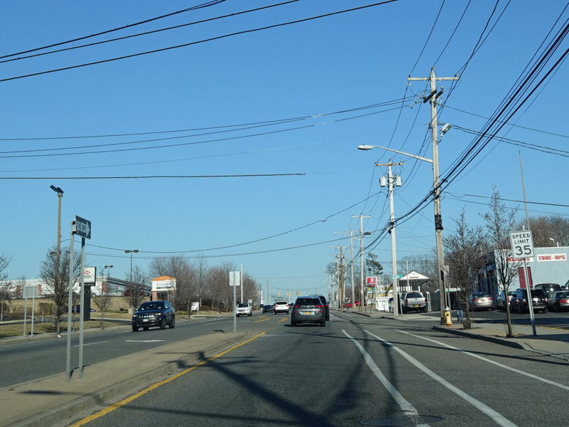
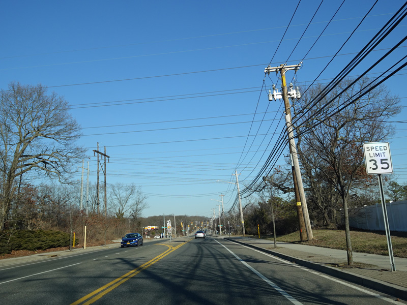
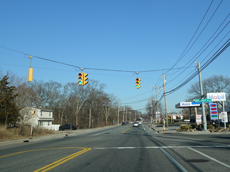
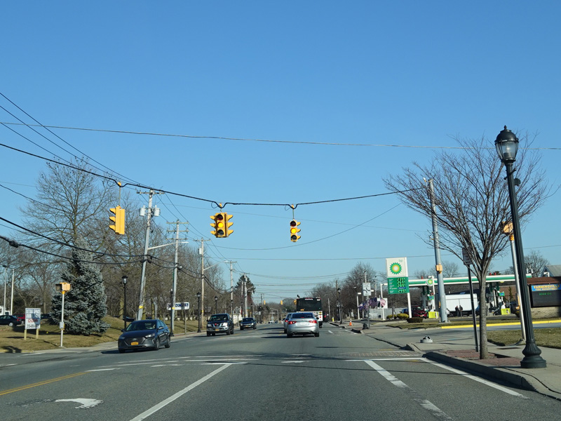
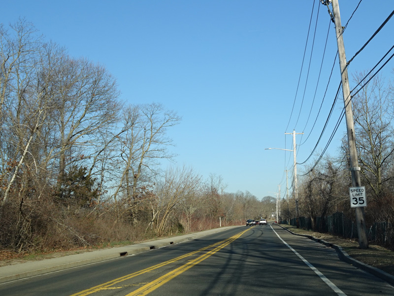
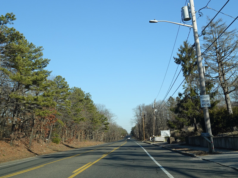
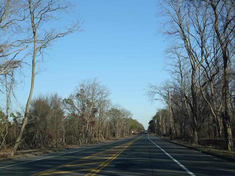
Portion Road continues east to Holtsville.
Photos taken February 2020.
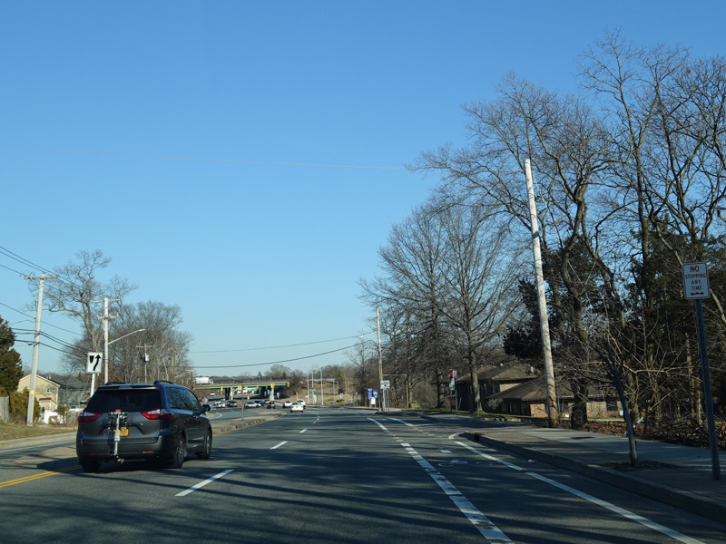
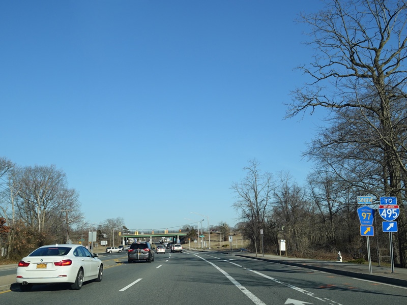
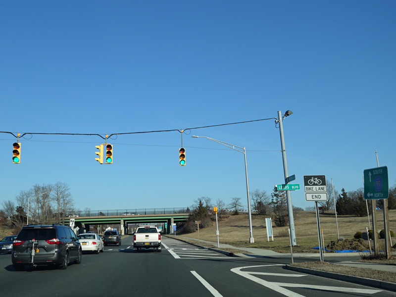
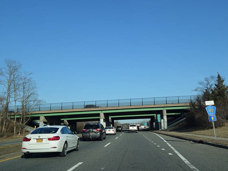
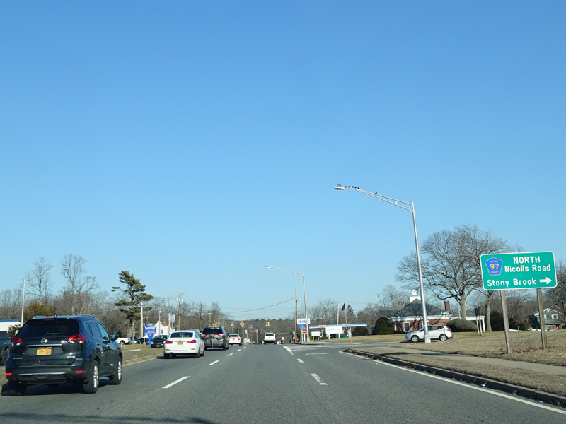
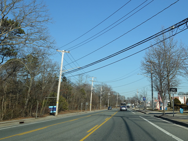
There is an interchange with Nicolls Road (CR 97).
Photos taken February 2020.
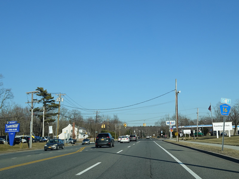
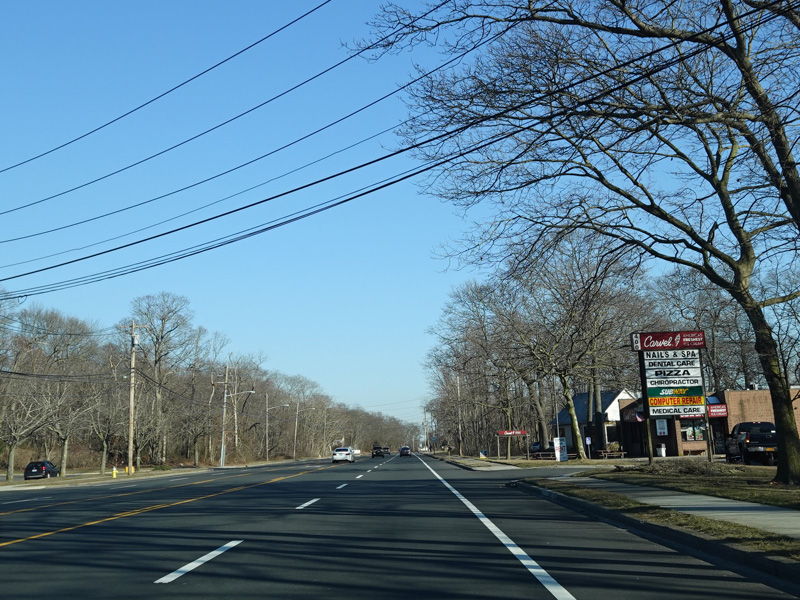
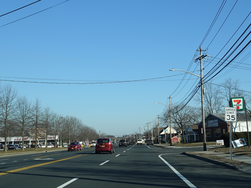
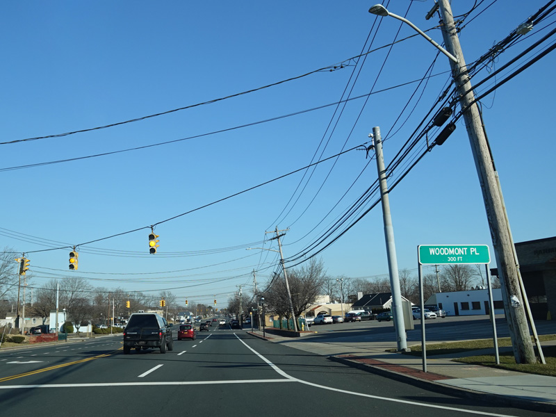
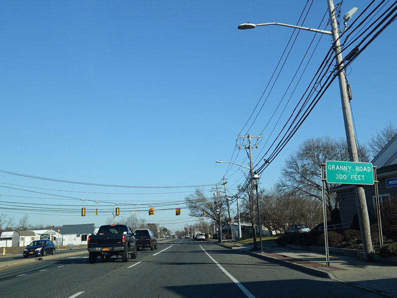
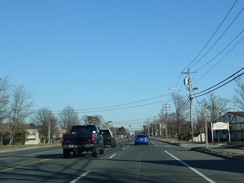
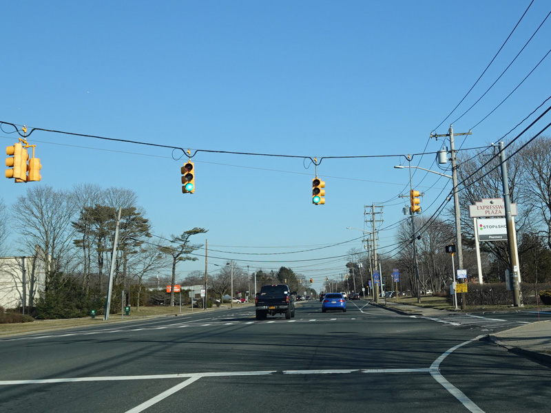
Shortly after the interchange, Portion Road becomes Horseblock Road, which runs east as a four-lane undivided road. There are traffic lights at Woodmont Place and Granny Road.
Photos taken February 2020.
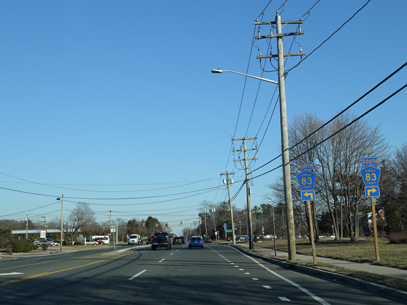
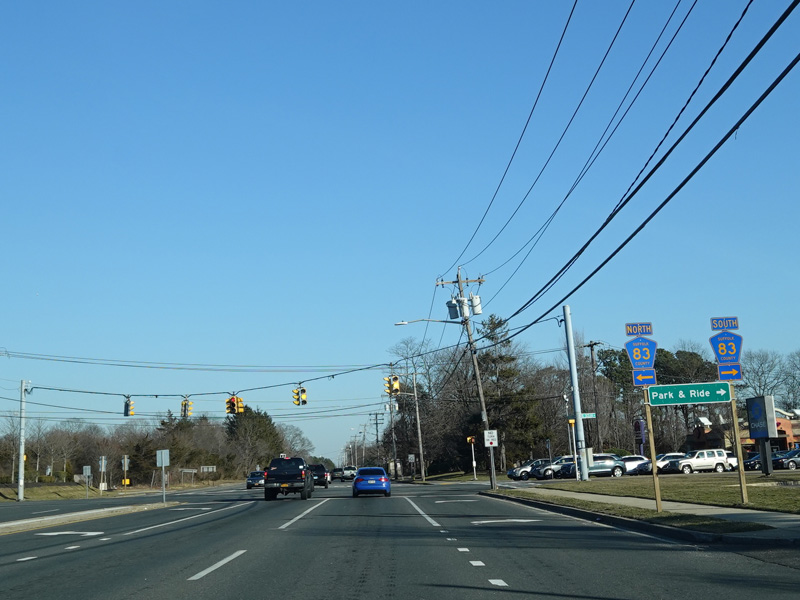
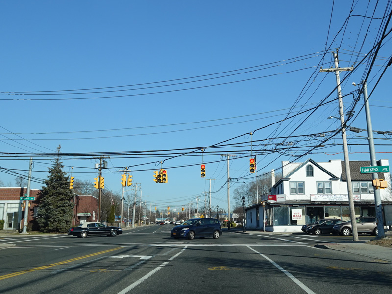
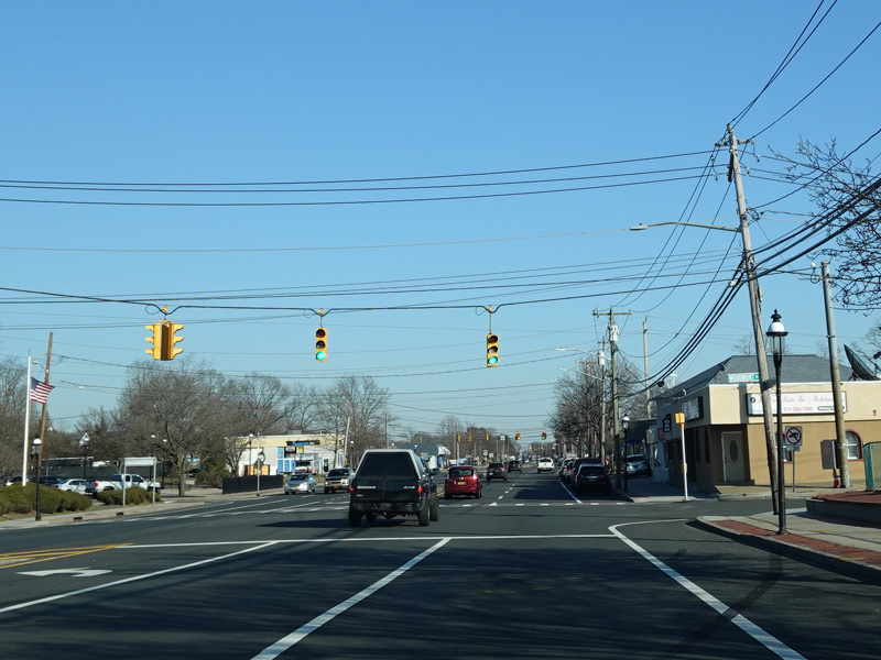
There is a traffic light at North Ocean Avenue (CR 83). Turn left to go north or right to go south.
Photos taken February 2020.
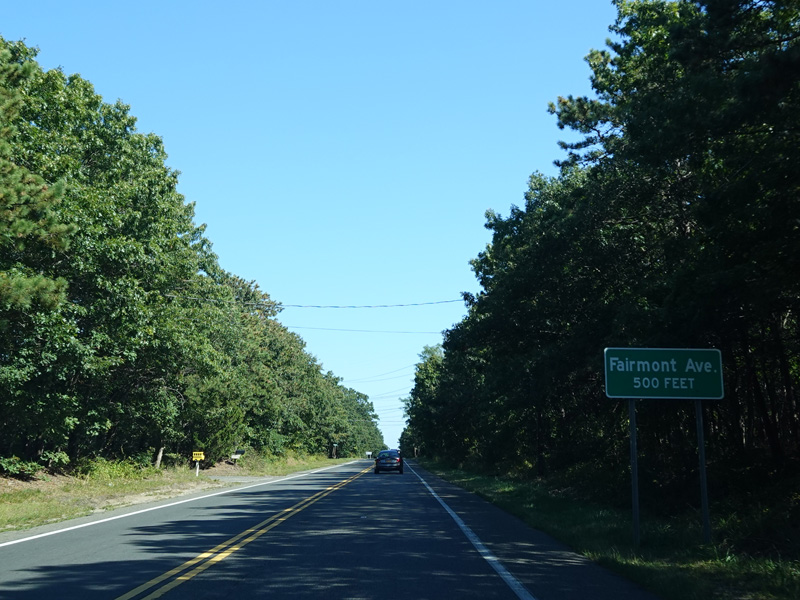
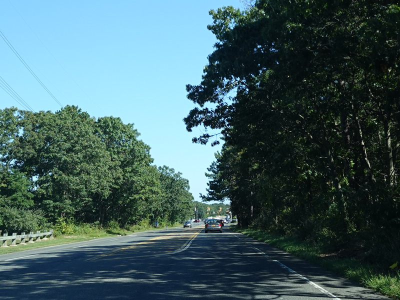
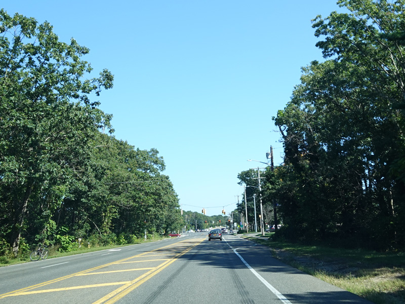
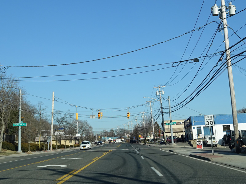
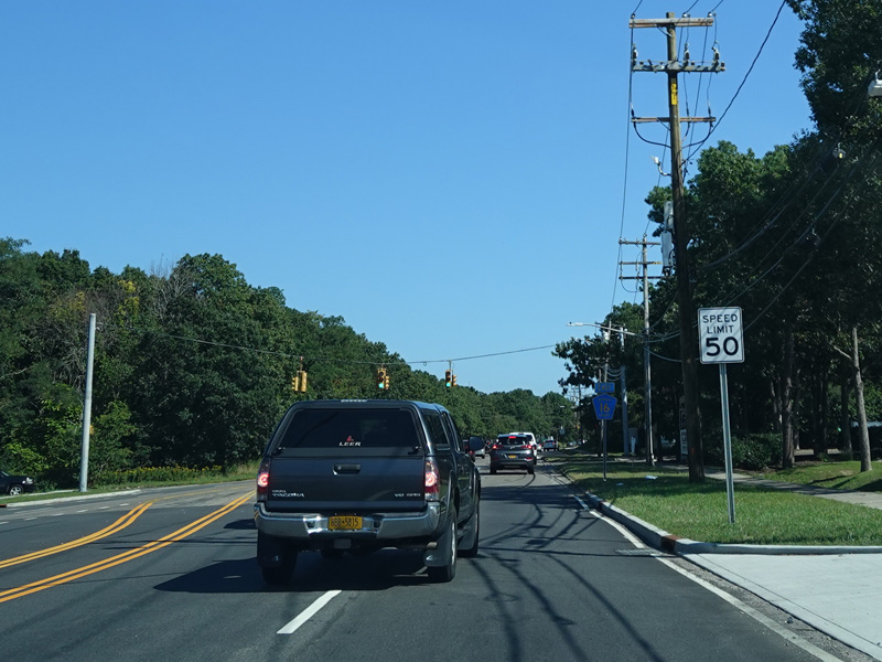
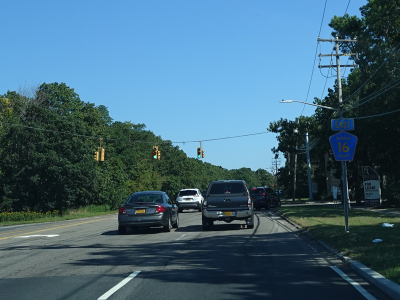
Horseblock Road narrows down to two lanes.
Photos taken 2020-2021.
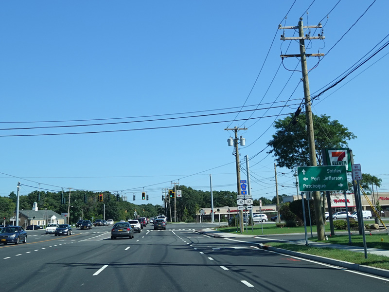
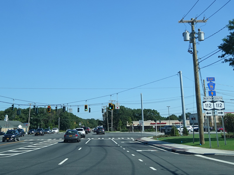
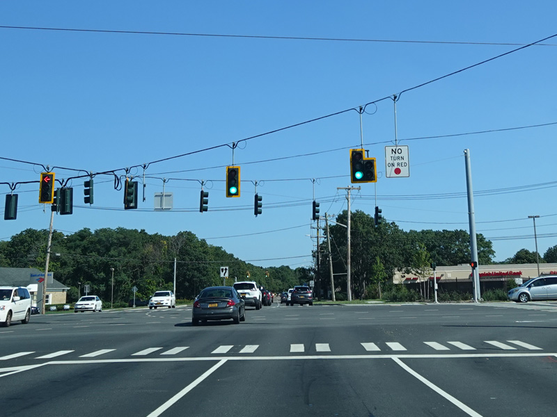
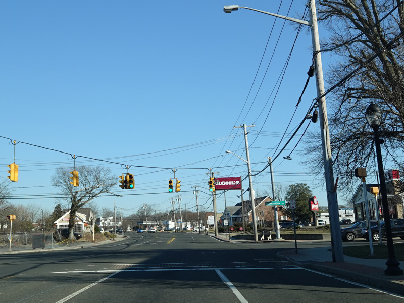
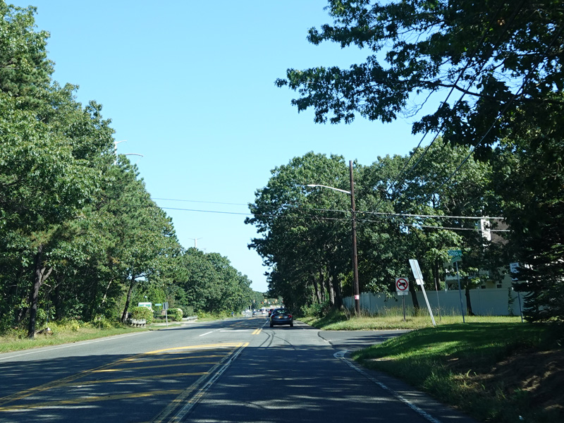
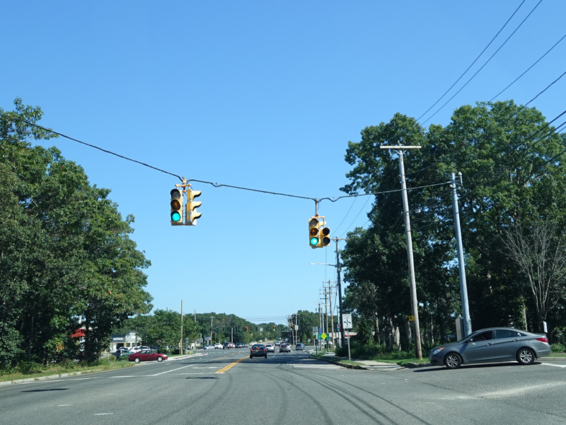
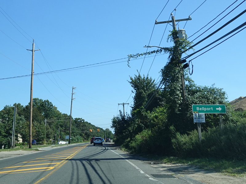
There is a traffic light at NY 112. Turn left to go north or right to go south.
Photos taken September 2021.
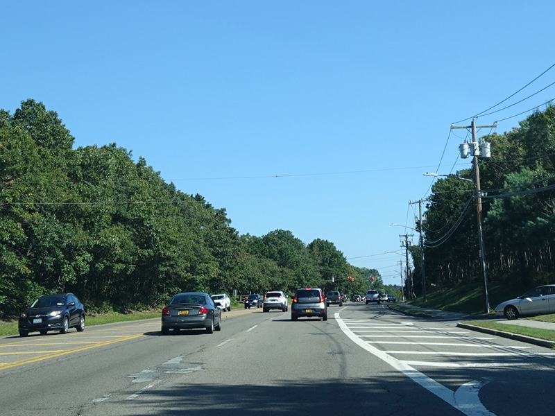
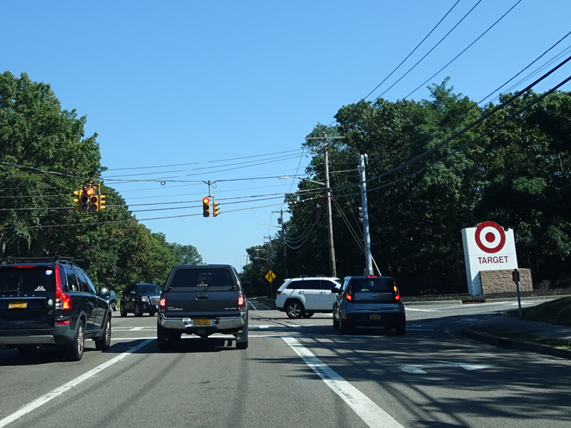
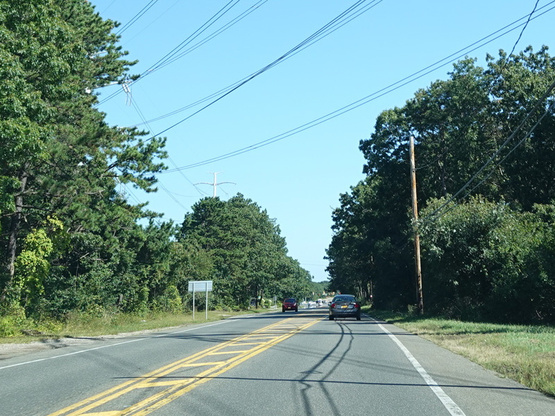
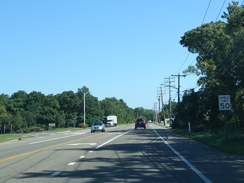
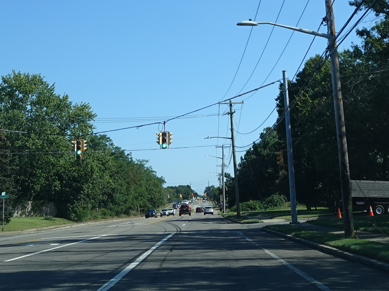
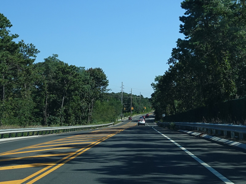
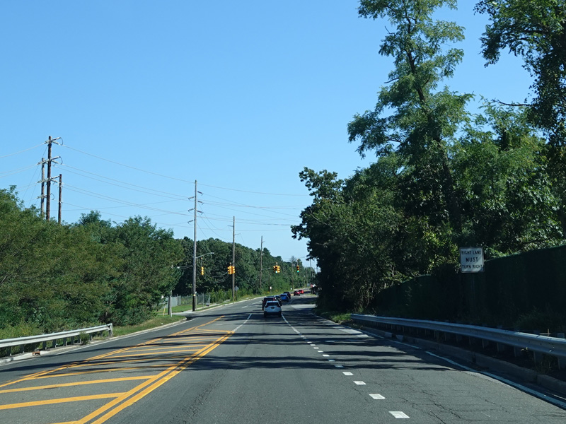
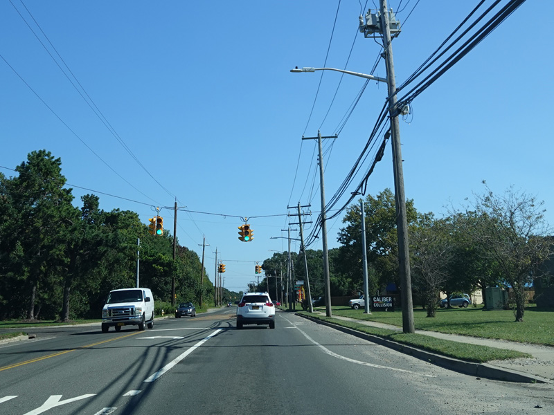
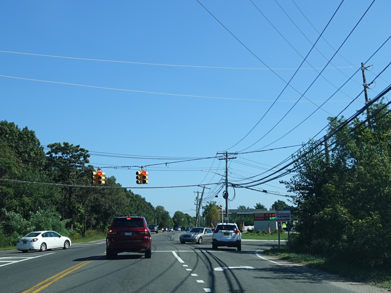
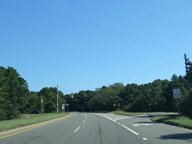
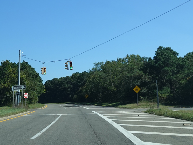
Horseblock Road has four lanes for a short distance. The right lane becomes a right turn lane at the entrance to a shopping center.
Photos taken September 2021.
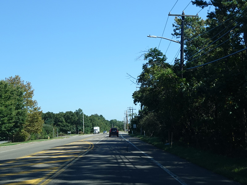
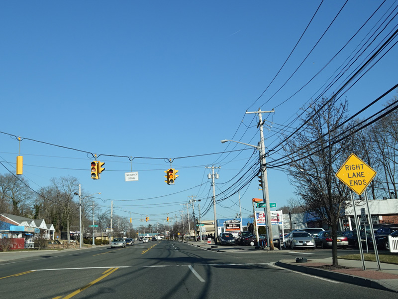
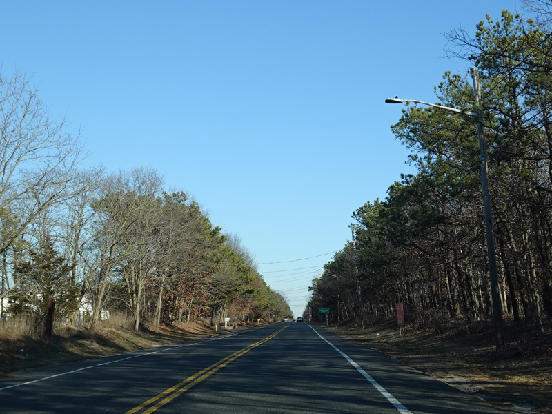
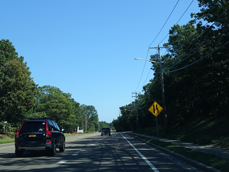
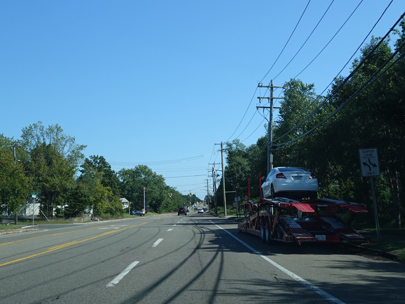
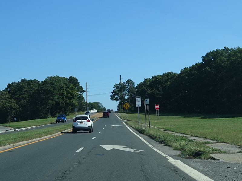
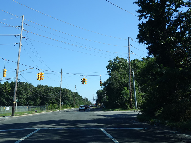
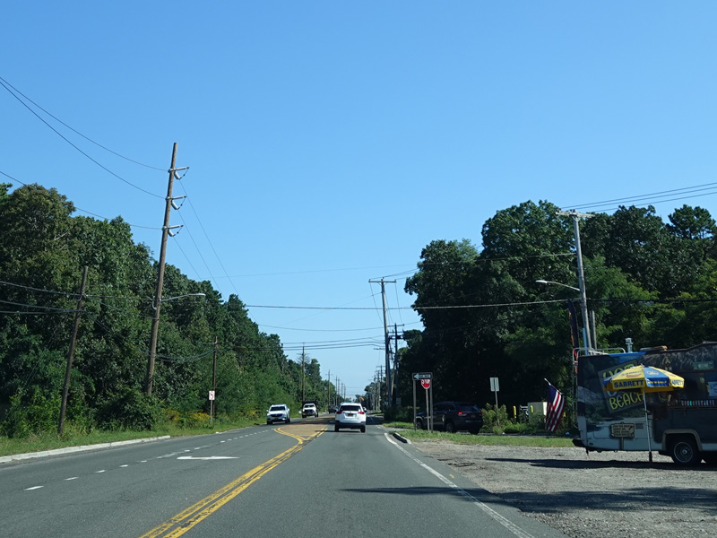
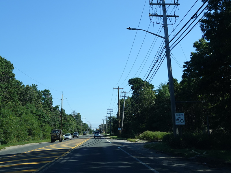
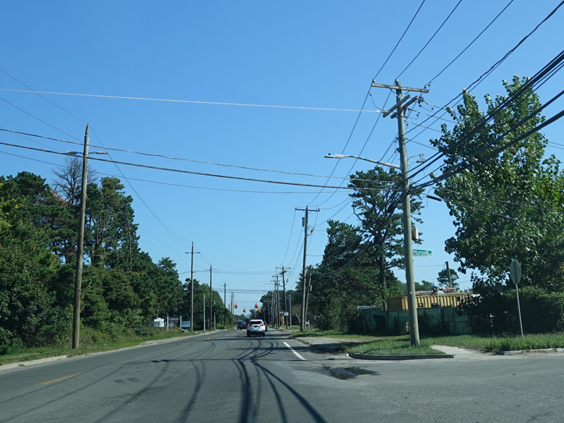
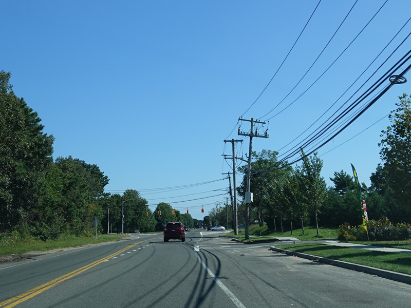
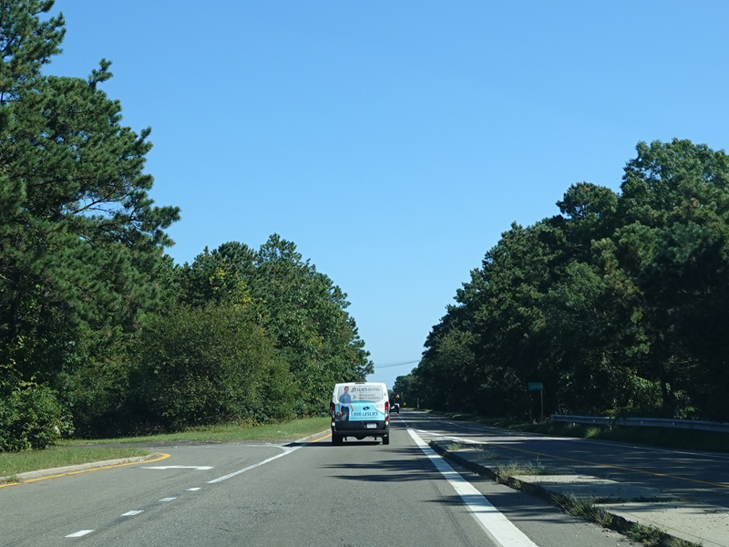
Horseblock Road runs east as a two-lane undivided road for a short distance.
Photos taken September 2021.
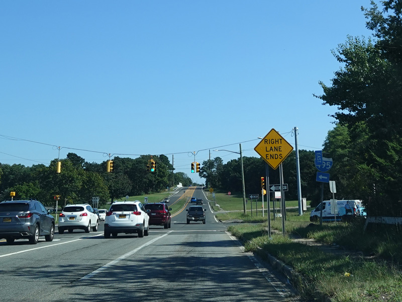
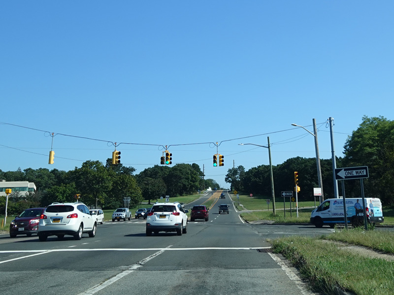
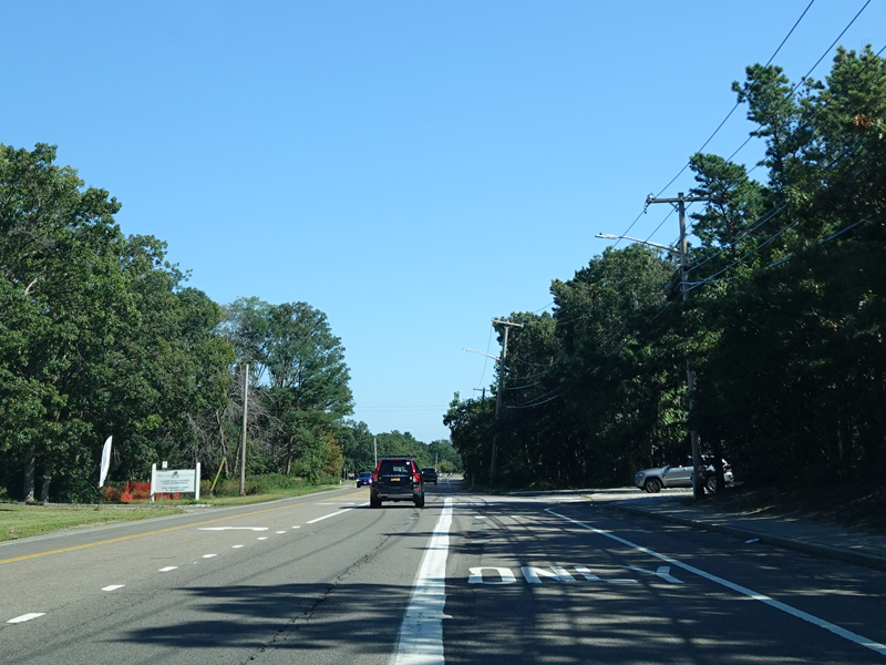
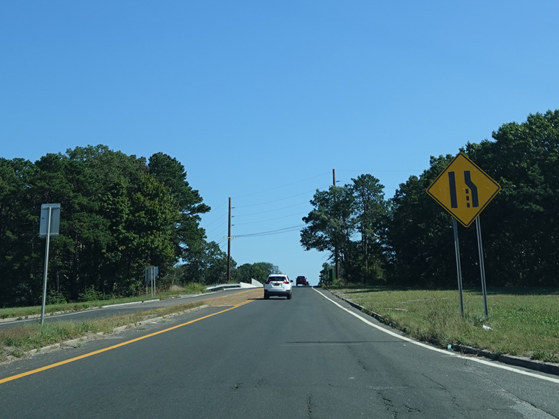
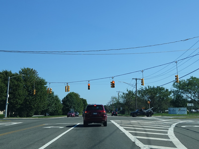
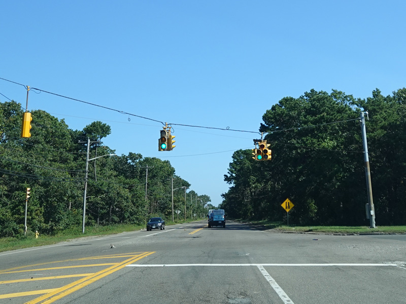
Horseblock Road widens to become a four-lane divided road again. There is an interchange with the Long Island Expressway (I-495).
Photos taken September 2021.
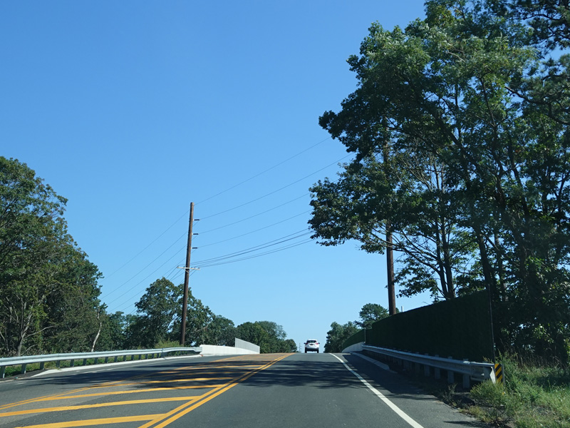
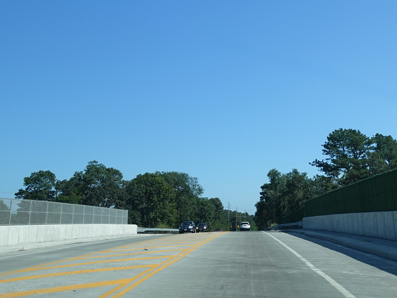
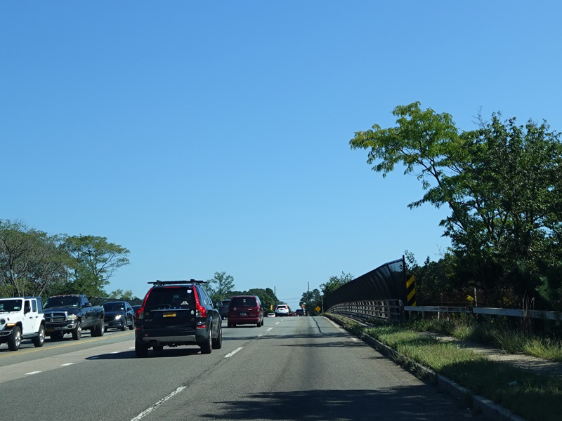
An overpass carries Horseblock Road over Long Island Avenue and the Greenport Branch of the Long Island Rail Road.
Photos taken September 2021.
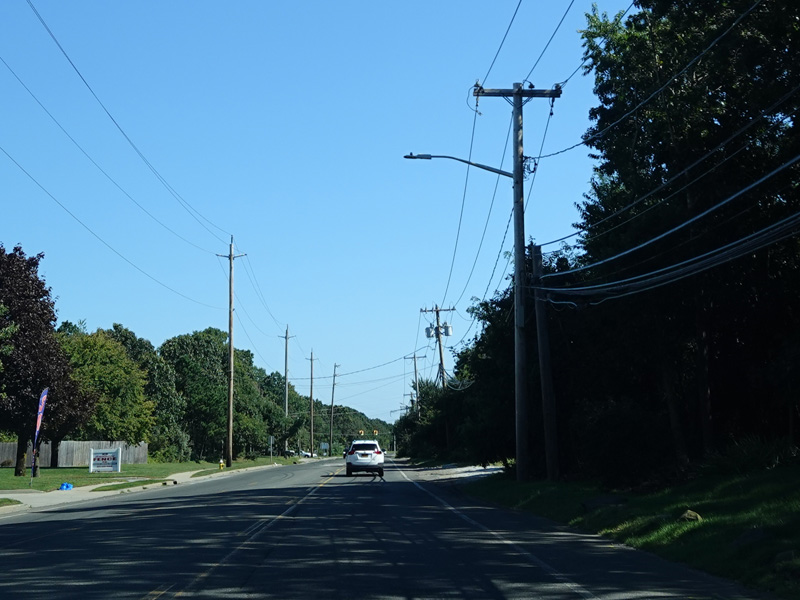
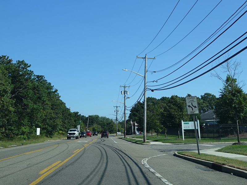
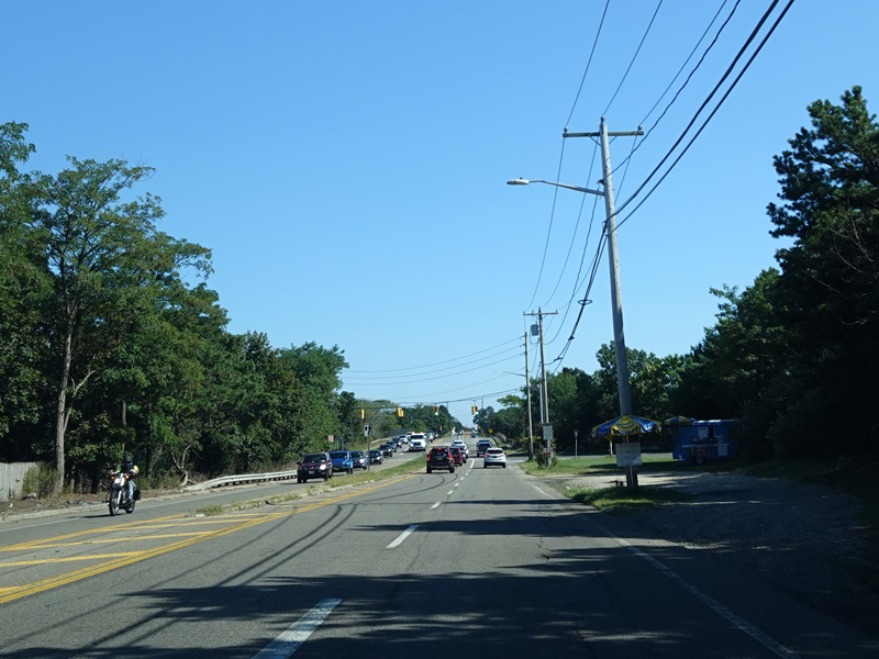
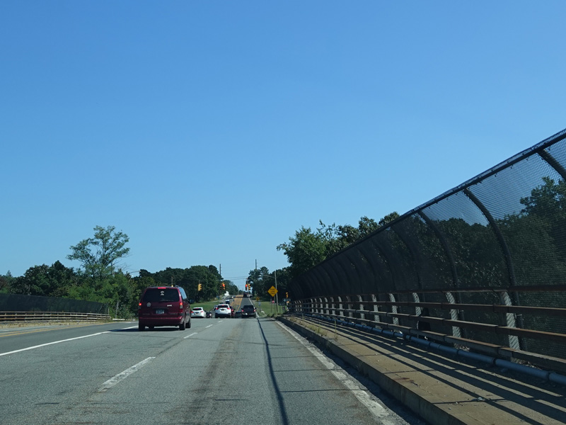
Horseblock Road runs southeast as a two-lane undivided road.
Photos taken September 2021.
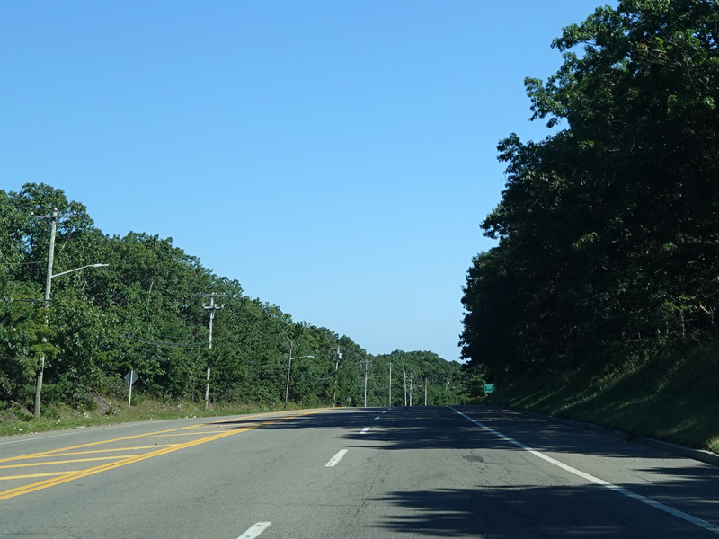

Horseblock Road widens to become a four-lane divided highway with a grass median. There is a traffic light at Woodside Avenue (CR 99), which begins here. There is no county route signage.
Photos taken September 2021.

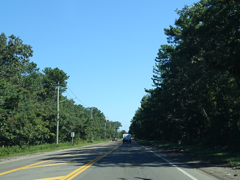
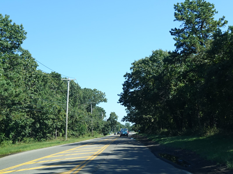
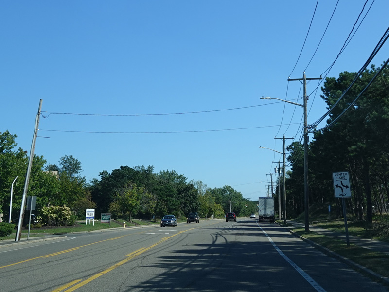
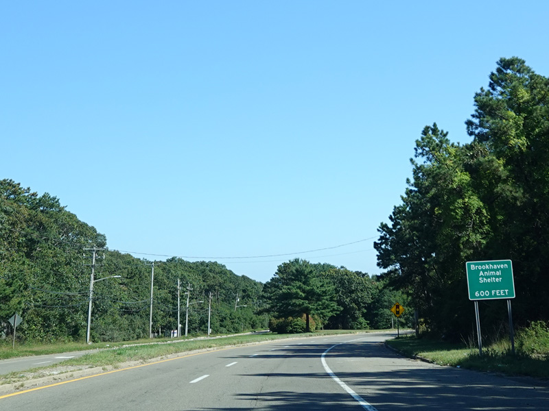
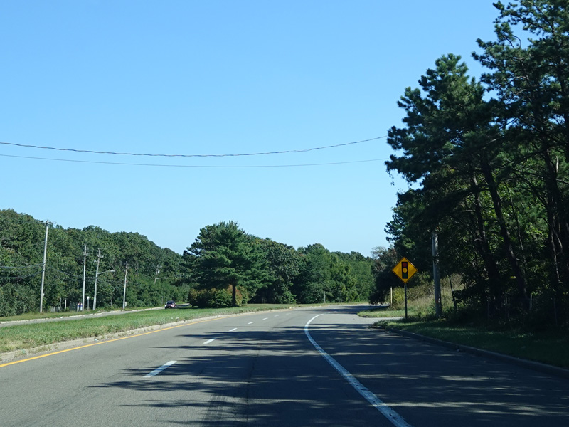
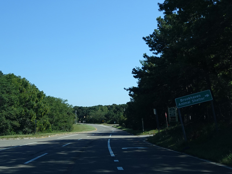
The median ends, and Horseblock Road narrows down to two lanes again.
Photos taken September 2021.
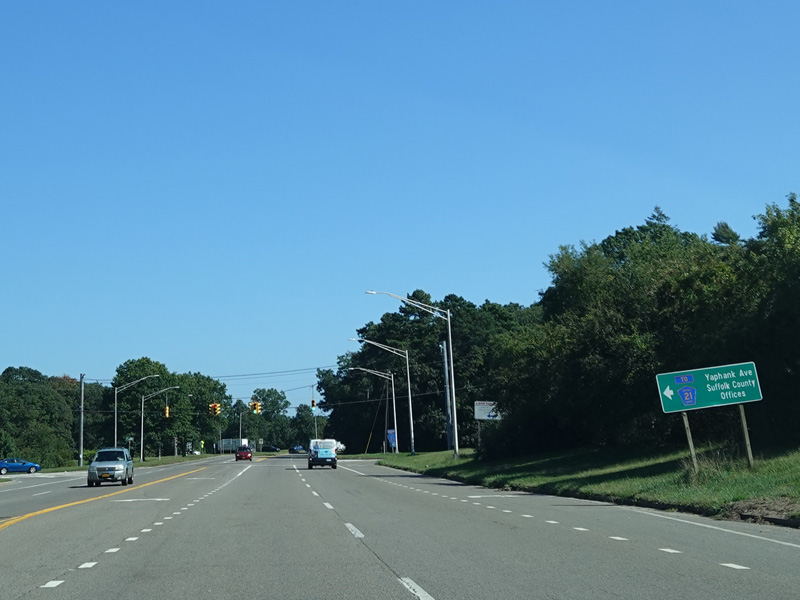
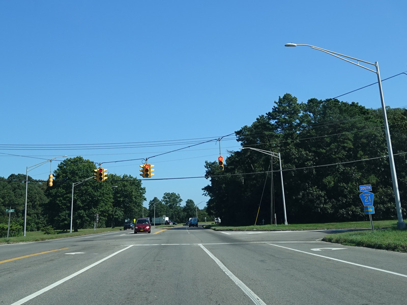
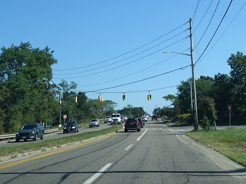
Horseblock Road widens to four lanes again. There is a traffic light at Yaphank Avenue (CR 21). Turn left to go north or right to go south.
Photos taken September 2021.
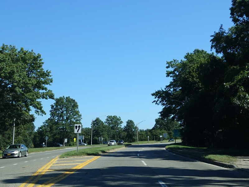
Horseblock Road becomes a divided highway again. Victory Avenue (CR 56) begins on the left.
Photos taken September 2021.
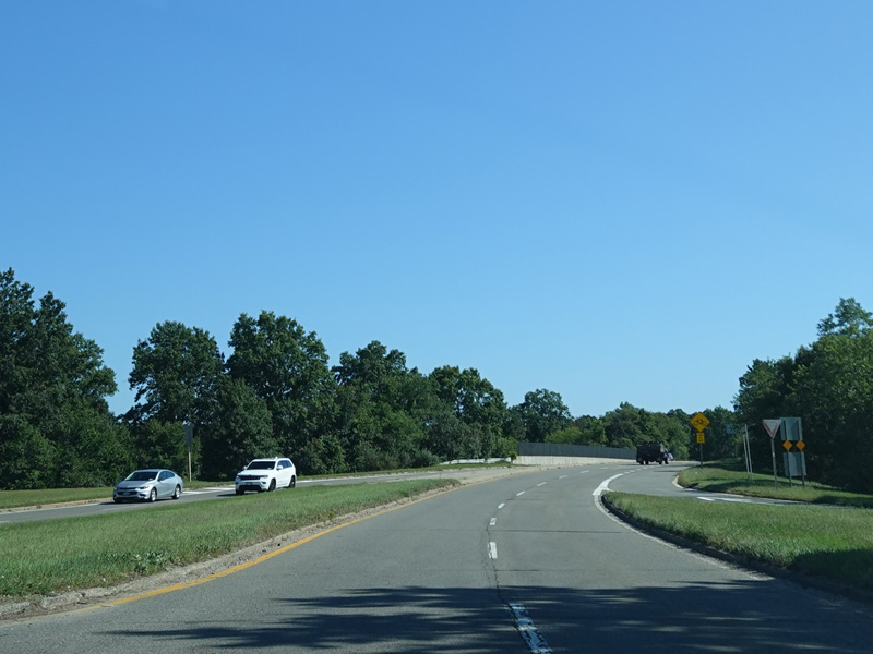
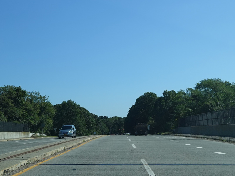
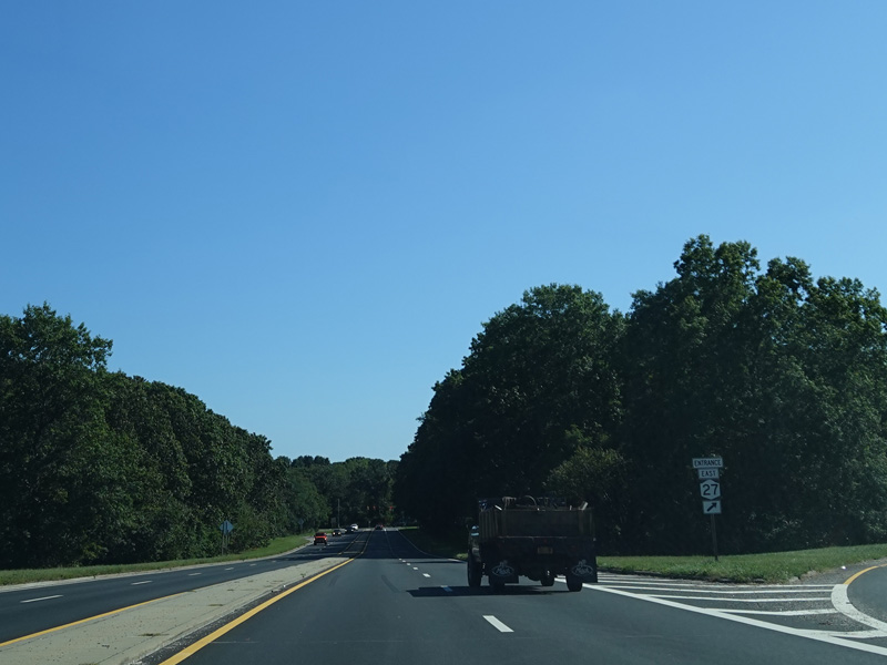
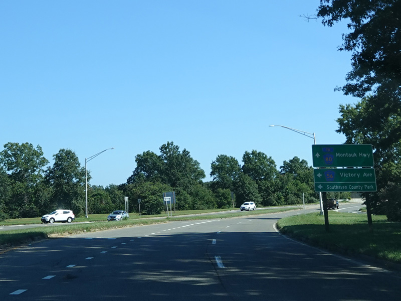
There is an interchange with Sunrise Highway (NY 27).
Photos taken September 2021.
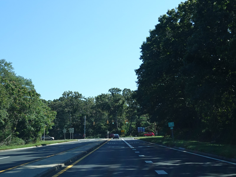
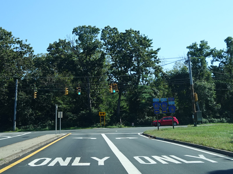
Horseblock Road ends at a traffic light at Montauk Highway (CR 80). Turn left to go east or right to go west.
Photos taken September 2021.