- Direction:
- North/South
- Southern Terminus:
- Maryland-Pennsylvania state line
- Northern Terminus:
- Pennsylvania-New York state line
- Distance:
- 116.85 miles
- Counties:
- Adams, York, Cumberland, Perry, Juniata, Snyder, Lycoming, Tioga
- Signed:
- Yes
US 15 is a north/south route extending from Walterboro, South Carolina, to Painted Post, New York. It enters Pennsylvania from Maryland and begins its section in the state as an expressway bypass of Gettysburg. After the expressway ends, US 15 continues north, passing through an interchange with the Pennsylvania Turnpike (I-76). Shortly thereafter, it reaches Camp Hill, across the Susquehanna River from Harrisburg. There, it is joined by US 11. The two routes run north along the west side of the Susquehanna River for a substantial distance. In this area, the road is known as Susquehanna Trail. In Selinsgrove, US 11 splits off and crosses the river, while US 15 continues north toward Williamsport.
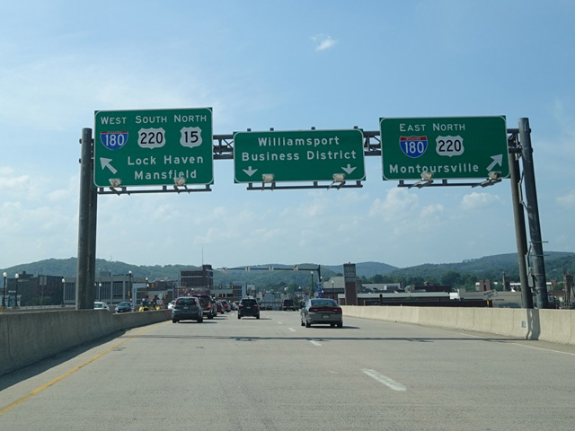
In Williamsport, US 15 follows a pair of one-way streets, Hastings Street and Market Street, and then crosses the West Branch of the Susquehanna River. On the other side, there is an interchange with I-180/US 220. US 15 joins the highway for a couple of exits until I-180 ends before splitting off to the north. The remainder of US 15 in Pennsylvania is an expressway through the mountains to New York that has been upgraded to interstate standards. It is planned to become part of I-99 once the portion of US 220 connecting it to the existing I-99 is upgraded to interstate standards as well.
| Photo Gallery |
|---|
| Map |