- Direction:
- North/South
- Southern Terminus:
- Kentucky-West Virginia state line
- Northern Terminus:
- West Virginia-Pennsylvania state line
- Counties:
- Mingo, Logan, Boone, Kanawha, Roane, Calhoun, Gilmer, Lewis, Upshur, Barbour, Taylor, Monongalia
- Signed:
- Yes
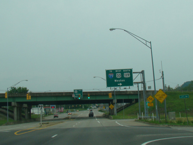
US 119 is a north/south route extending from Kentucky to Pennsylvania. The southernmost section in West Virginia is Corridor H, a highway from Pikeville, Kentucky, to Charleston, West Virginia. It is part of the Appalachian Development Highway System, a network of highways intended to provide better access to and from Appalachia, thereby promoting economic development in the region. After the highway ends in Charleston, US 119 continues north to Spencer, where it joins US 33. The two routes are multiplexed to the northwest to Weston. There, Corridor H, another highway in the Appalachian Development Highway System, begins. US 119 remains multiplexed with US 33 along the beginning of Corridor H and then splits off in Buckhannon. US 119 runs north to Morgantown before crossing into Pennsylvania.
| Photo Gallery |
|---|
| Map |