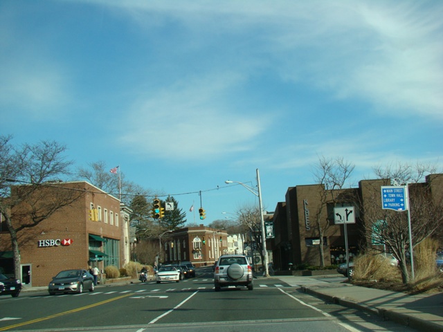
West Putnam Avenue, East Putnam Avenue, West Main Street, Tresser Boulevard, East Main Street, Post Road, Connecticut Avenue, Van Buren Avenue, Belden Avenue, Cross Street, North Avenue, Westport Avenue, Post Road West, Post Road East, Kings Highway, Boston Avenue, Barnum Avenue, Bridgeport Avenue, Boston Post Road, Orange Avenue, Columbus Avenue, Church Street South, Union Avenue, Water Street, Forbes Avenue, Saltonstall Parkway, North Main Street, Halls Road, Bank Street, Jefferson Avenue, Colman Street, South Frontage Road, Long Hill Road, Poquonnock Road, Fort Hill Road, New London Road, Broadway, Roosevelt Street, Williams Avenue, Stonington Road, South Broad Street, West Broad Street

- Direction:
- North/South
- Southern Terminus:
- New York-Connecticut state line
- Northern Terminus:
- Connecticut-Rhode Island state line
- Distance:
- 117.37 miles
- Counties:
- Fairfield, New Haven, Middlesex, New London
- Signed:
- Yes
US 1 is a major route running from Key West in Florida to the Canadian border in Maine. Prior to the construction of I-95, it was the main route along the East Coast. The entire length of US 1 is marked as a north/south route, although in Connecticut it runs east and west. The entire length of the Connecticut section of US 1 is a local road with traffic lights. It runs through the southern section of the state, passing through the same areas as the Connecticut Turnpike (I-95), which it crosses many times. US 1 takes on a large number of names throughout its length in Connecticut.
| Photo Gallery |
|---|
| Map |