Paca Street, McCulloh Street, Pennsylvania Avenue, Martin Luther King Jr. Boulevard, Druid Hill Avenue, Auchentoroly Terrace, Reisterstown Road, Park Heights Avenue
- Direction:
- North/South
- Southern Terminus:
- Franklin Street (US 40) in Baltimore
- Northern Terminus:
- Garrison Forest Road in Owings Mills
- Distance:
- 15.11 miles
- Counties:
- Baltimore
- Independent Cities:
- Baltimore
- Signed:
- Yes
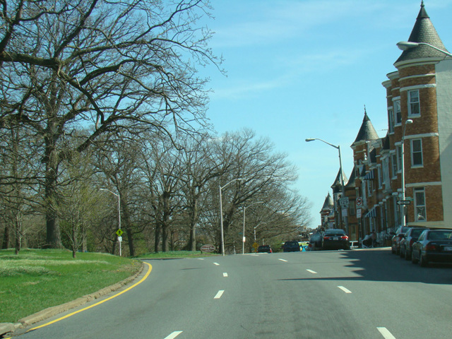
MD 129 is a north/south route beginning near the center of Baltimore and extending out into the suburbs. It begins at Franklin Street (US 40) as a pair of parallel one-way streets. Northbound traffic follows Paca Street and McCulloh Street, while southbound traffic follows Auchentoroly Terrace, Druid Hill Avenue, Martin Luther King Jr. Boulevard, and Pennsylvania Avenue. After a couple of miles, the one-way pair merges into Reisterstown Road (MD 140). The two routes are multiplexed for a few blocks, and then MD 129 splits off onto Park Heights Avenue. It continues north, out of the city, crossing the Baltimore Beltway (I-695). After several miles, it ends at Garrison Forest Road.
| Photo Gallery |
|---|
| Map |