
- Direction:
- East/West
- Western Terminus:
- Market Street (NH 9) at the New Hampshire-Maine state line
- Eastern Terminus:
- United States-Canada border
- Distance:
- 289.22 miles
- Counties:
- York, Cumberland, Androscoggin, Kennebec, Waldo, Penobscot, Hancock, Washington
- Signed:
- Yes
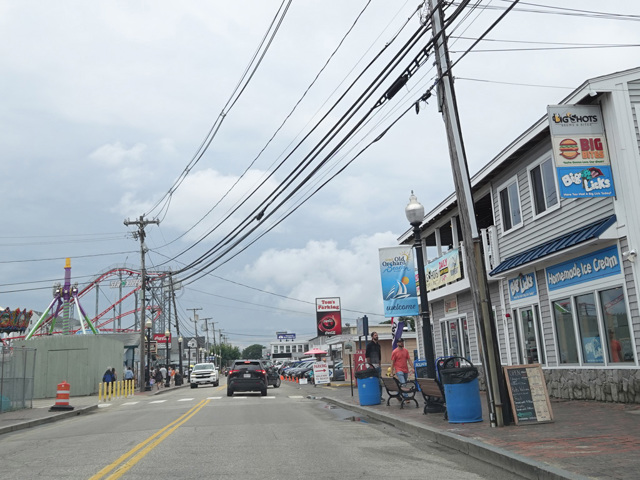
ME 9 is an east/west route across Maine. It begins at the state line. NH 9 becomes ME 9 upon entering Maine from New Hampshire on a small bridge over the Salmon Falls River. It runs east to Post Road (US 1) in Wells. The two routes are multiplexed for a short distance, and the ME 9 splits off to make a loop near the Atlantic Ocean through Kennebunkport and then another loop near the ocean through Old Orchard Beach. Then, it rejoins US 1 through Scarborough to South Portland. The two routes split just north of the Maine Turnpike Approach Road (ME 703).
ME 9 passes through Portland and then turns inland. It crosses the Maine Turnpike (I-95) at exit 86 in Sabattus and then again at exit 102 in Gardiner, just south of the merge with I-295. It crosses the Kennebec River and then runs along the east side of the river to Augusta, where it joins US 202. The two routes are multiplexed all the way to the eastern terminus of US 202 at I-395 in Bangor. ME 9 then follows I-395 to its eastern terminus. After I-395 ends, ME 9 has a short super-2 section, a two-lane undivided road with no at-grade intersections.
After the highway ends, ME 9 is a two-lane surface road called Airline Road that extends east toward the Canadian border. Airline Road ends at US 1, and the two routes are multiplexed once again for a short distance to Calais. There, ME 9 splits off onto Main Street, which runs a short distance to a small bridge to New Brunswick, Canada.
| Photo Gallery |
|---|