- Direction:
- North/South
- Southern Terminus:
- Massachusetts-New Hampshire state line
- Northern Terminus:
- United States-Canada border
- Distance:
- 242.32 miles
- Counties:
- Hillsborough, Merrimack, Belknap, Grafton, Coos
- Signed:
- Yes
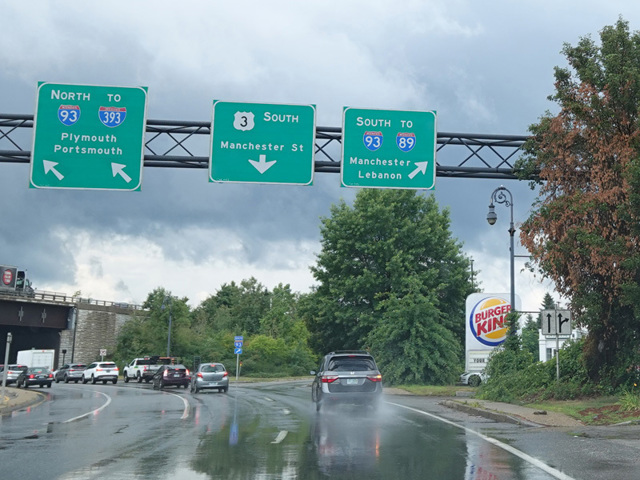
US 3 is a north/south route in Massachusetts and New Hampshire. The northernmost section in Massachusetts is an expressway. Upon entering New Hampshire, it becomes the Everett Turnpike, a toll highway through Nashua, Manchester, and Concord. US 3 follows the turnpike through Nashua and then splits off to follow the surface roads. It serves a local alternative to the remainder of the Everett Turnpike, I-293, and I-93. In Tilton, it crosses I-93 and runs east toward Lake Winnipesaukee. It runs along the west side of the lake and then curves back to the east toward I-93.
Passing through Franconia Notch State Park, US 3 is multiplexed with I-93 along the Franconia Notch Parkway. In this area, the highway passes between mountains where it is too narrow to fit four lanes of traffic. Therefore, it narrows down to a single lane in each direction, violating the rules that interstates are generally required to follow. North of the park, the two routes split. I-93 curves to the west to cross the Connecticut River into Vermont, while US 3 continues north and northeast into the northernmost tip of New Hampshire, where it ends at the border with Canada.
| Photo Gallery |
|---|
| Map |