- Direction:
- North/South
- Southern Terminus:
- Union Avenue (NJ 28) in Bound Brook
- Northern Terminus:
- West Main Street (CR 510) and East Main Street (CR 510) in Mendham
- Distance:
- 16.88 miles
- Counties:
- Somerset, Morris
- Signed:
- Yes
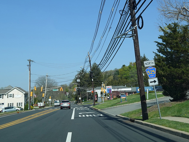
CR 525 is a north/south route extending from Bound Brook to Mendham. Thompson Avenue exists as a local street in Bound Brook and takes on the CR 525 designation upon crossing Union Avenue (NJ 28). It passes has an interchange with US 22 and then ends at Chimney Rock Road, which is designated CR 675 to the south. CR 525 turns north onto Chimney Rock Road, which ends after about a mile at Washington Valley Road. CR 525 turns west onto Washington Valley Road for a few blocks and then north onto Mount Horeb Road. The section of Washington Valley Road to the west of CR 525 is designated CR 620, while the section to the east is designated CR 616.
Mount Horeb Road runs north for about a mile before turning east to become CR 618. CR 525 continues north as Liberty Corner Road and Martinsville-Liberty Corner Road, passing through an interchange with I-78. In Basking Ridge, it crosses Valley Road (CR 512) and changes names again to become Mount Airy Road, which continues north to an interchange with I-287. In Bernardsville, Mount Airy Road ends at US 202. The two routes are multiplexed for two blocks, and then CR 525 splits off onto Claremont Road. After another mile, CR 525 splits off onto Mendham Road, while Claremont Road continues as CR 659.
Mendham Road runs north to Mendham, changing names to become Bernardsville Road and then Hilltop Road. In Mendham, Hilltop Road ends at West Main Street (CR 510) and East Main Street (CR 510). CR 525 ends at this point.
| Photo Gallery |
|---|
| Map |