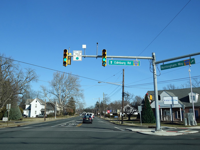
East State Street, East State Street Extension, Nottingham Way, Edinburg Road, Old Trenton Road, South Main Street, North Main Street, Plainsboro Road, Maplewood Avenue, Half Acre Road, South River Road, Cranbury-South River Road, Cranbury Road, Main Street, Washington Road
- Direction:
- North/South
- Southern Terminus:
- East State Street (Mercer CR 635), North Logan Avenue, and South Logan Avenue at the Trenton city line
- Northern Terminus:
- Main Street (Middlesex CR 670) in Sayreville
- Distance:
- 31.75 miles
- Counties:
- Mercer, Middlesex
- Signed:
- Yes
CR 535 is a north/south running diagonally from Trenton to Sayreville. It is a somewhat peculiar 500 series route in that both of its termini are at 600 series routes. For reasons that are not clear, East State Street in Trenton is designated Mercer CR 635 and changes designation to become CR 535 at the city line. It runs northeast to Sayreville, where it ends at Main Street (Middlesex CR 670), just north of the Garden State Parkway (NJ 444). However, CR 535 has no interchange with the parkway. CR 535 is a two- to four-lane surface road. Some sections are undivided, while others are divided.
| Photo Gallery |
|---|
| Map |