- Direction:
- North/South
- Southern Terminus:
- Garden State Parkway (NJ 444) in Eatontown
- Northern Terminus:
- Garden State Parkway (NJ 444) and NJ 35 in Keyport
- Distance:
- 24.40 miles
- Counties:
- Monmouth
- Signed:
- Yes
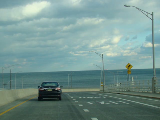
NJ 36 is a semicircular route through the northern end of the Jersey Shore. It begins at the Garden State Parkway (NJ 444) in Eatontown and runs east as a four-lane divided highway to Long Branch, where it narrows down to become a two-lane undivided road called Joline Avenue. After about a mile, NJ 36 turns north onto Ocean Boulevard, a four-lane divided road that is designated CR 57 south of this point. After a short distance, the median ends and NJ 36 narrows down to two lanes, changing names to become Ocean Avenue. It runs north through Sea Bright and curves to the east, crossing a bridge to Highlands and widening to become a four-lane divided highway again. It runs east to Keyport, where it ends at NJ 35 and a ramp to the Garden State Parkway (NJ 444).
| Photo Gallery |
|---|
| Map |