- Direction:
- East/West
- Western Terminus:
- Trenton Freeway (US 1) in Trenton
- Eastern Terminus:
- Main Street (NJ 71) in Neptune
- Distance:
- 42.03 miles
- Counties:
- Mercer, Middlesex, Monmouth
- Signed:
- Yes
NJ 33 is an east/west crossing New Jersey near the center of the state. It begins at the Trenton Freeway (US 1) in Trenton. The first section is a two-lane undivided road called Greenwood Avenue that runs northeast for a couple of miles before ending at and merging with Nottingham Way. NJ 33 continues east along Nottingham Way, a four-lane undivided road, having an interchange with I-295. A few blocks east of the highway, NJ 33 splits off from Nottingham Way and runs southeast for several miles to US 130.
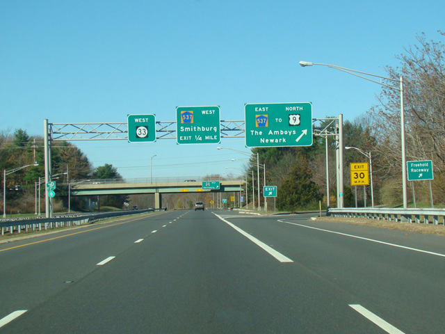
NJ 33 is multiplexed with US 130 for several miles to the northeast to East Windsor and then splits off onto Mercer Street, a two-lane road that it follows to Hightstown, where it is multiplexed with CR 539 along Main Street for a couple of blocks to the north and then turns east onto Franklin Street. There is an interchange with the Hightstown Bypass (NJ 133) and the New Jersey Turnpike (I-95). At the interchange, NJ 33 widens to become a four-lane divided highway with jughandles at many of its intersections. In Freehold, NJ 33 becomes a short expressway called the Freehold Bypass for a few miles. In this area, there is a business route along Park Avenue through Freehold. At the end of the Freehold Bypass, NJ 33 and Business NJ 33 merge together to become a two-lane undivided road again. It continues east to Wall, where it is multiplexed with NJ 34 for about half a mile. East of the multiplex, it widens to four lanes again and there are interchanges with the Garden State Parkway (NJ 444) and NJ 18. In this area, it is known as Corlies Avenue. It ends at Main Street (NJ 71) in Neptune.
| Photo Gallery |
|---|
| Map |