Buell Lane, East Hampton-Sag Harbor Turnpike, Hampton Street, South Ferry Road, North Ferry Road, Clinton Avenue, Chase Avenue, Grand Avenue, Third Street
Southbound Views
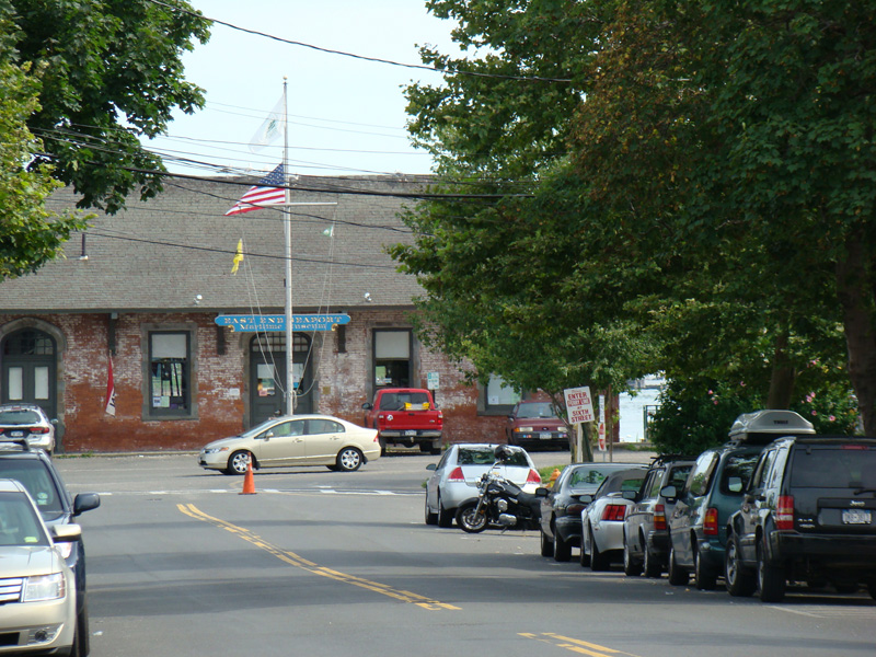
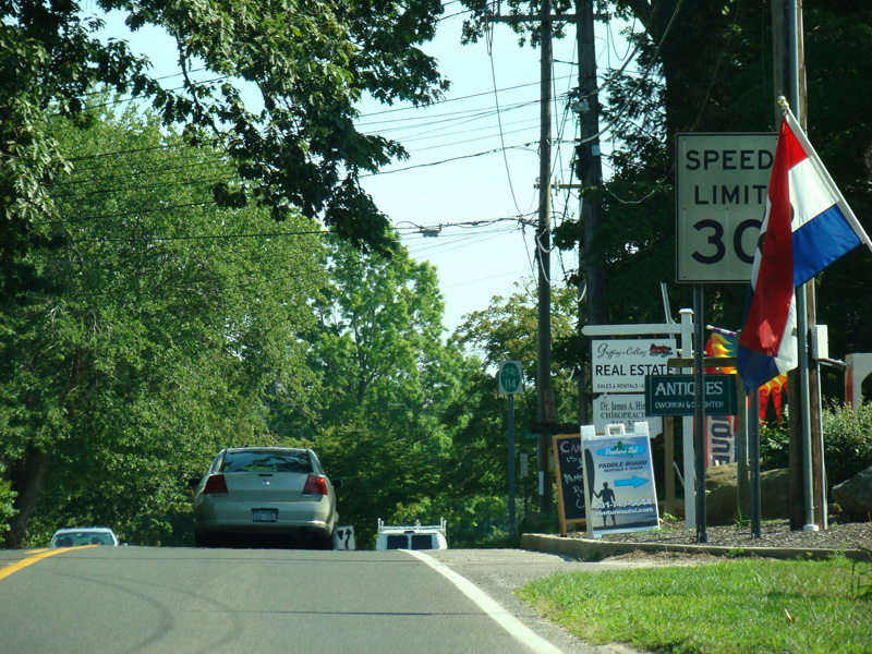
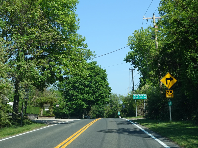
The northern section of NY 114 is known as Third Street. It begins at Front Street (NY 25) in Greenport, runs south for one block, and ends. At the southern end, one finds the East End Seaport Maritime Museum, the Greenport railroad station, and the ferry to Shelter Island and the middle section of NY 114.
Photos taken August 2009.
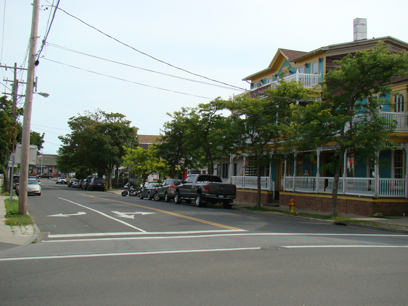
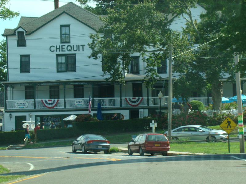
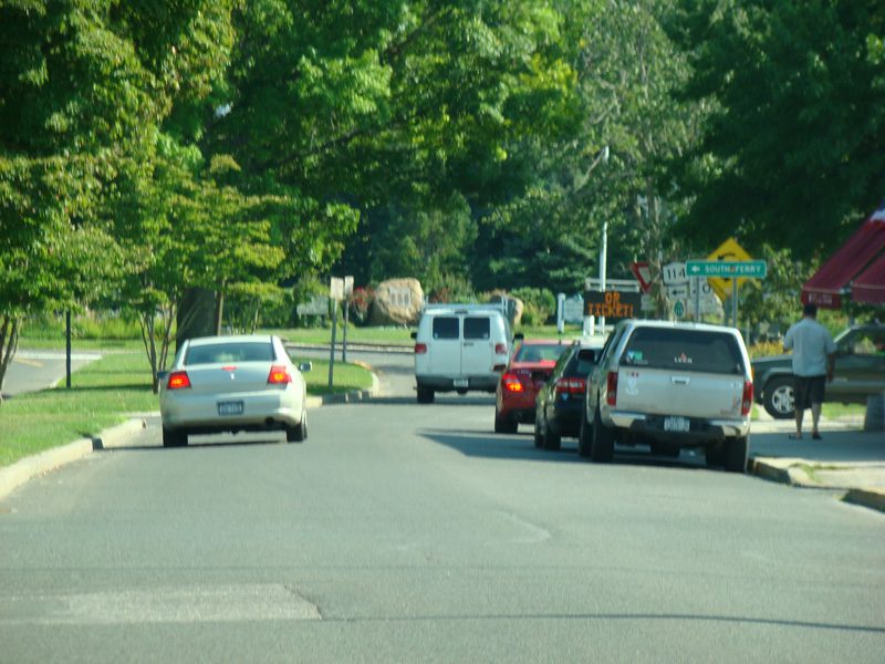
Welcome to Shelter Island! Just past the ferry, NY 114 is routed along a pair of parallel one-way streets. Southbound traffic follows Grand Avenue.
Photos taken August 2013.
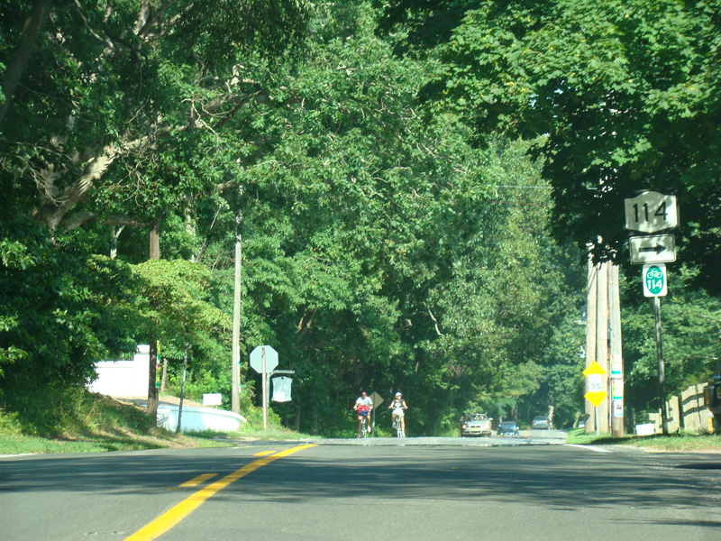
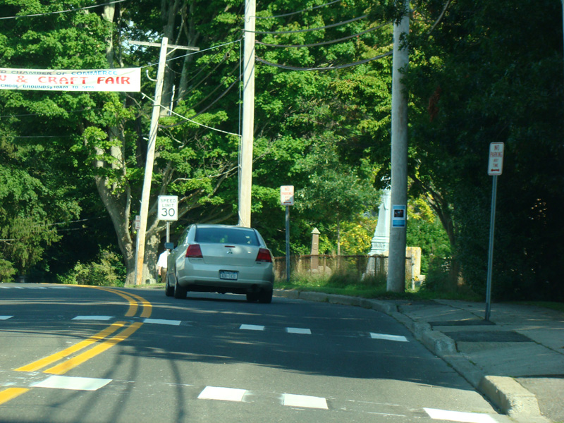
After a couple of blocks, Grand Avenue becomes a two-way street.
Photo taken August 2013.
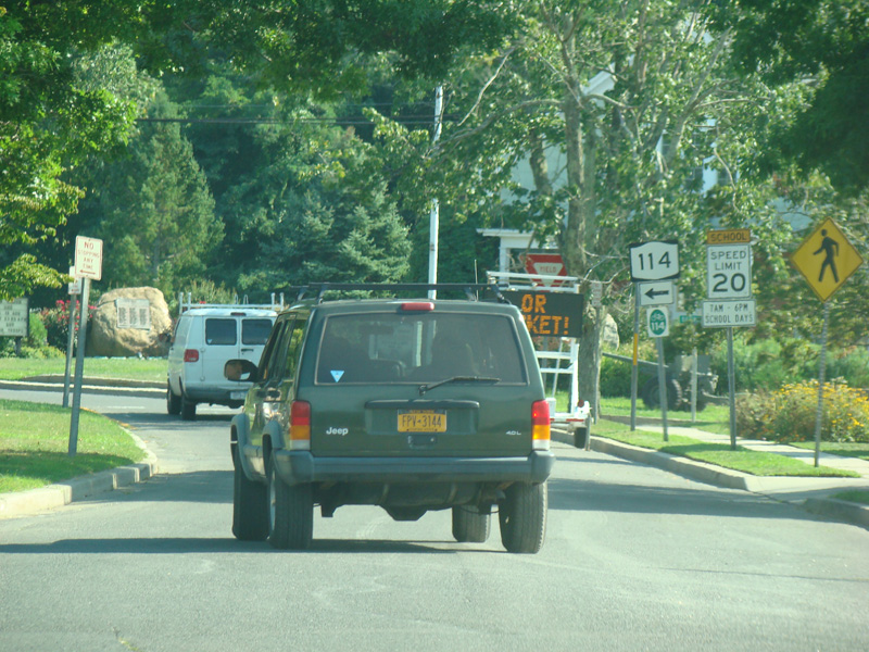
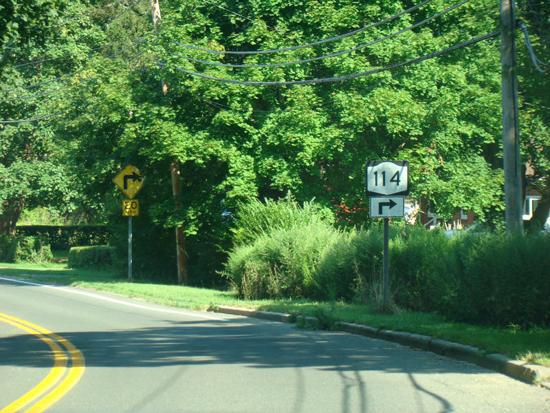
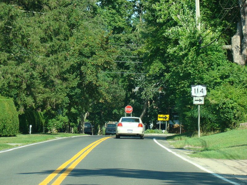
Turn left onto Chase Avenue to stay on NY 114.
Photo taken August 2013.
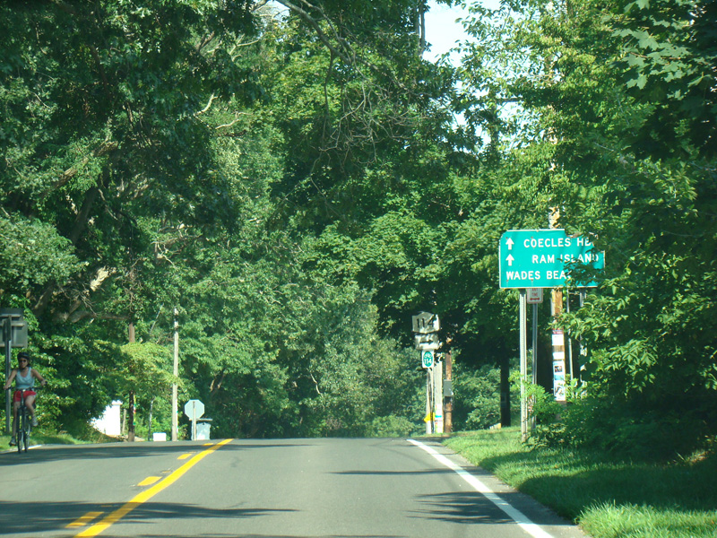
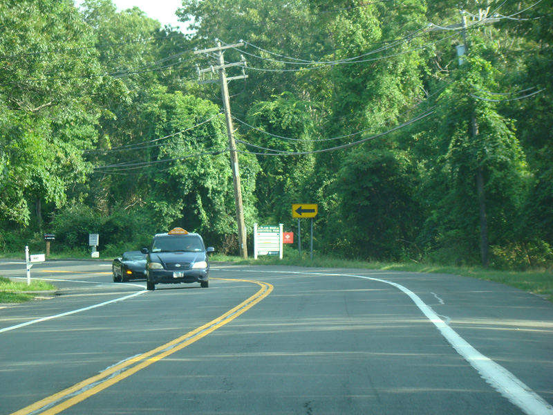
Skipping about half a mile, North Ferry Road runs east as a two-lane undivided road.
Photos taken August 2013.
Turn right here to stay on North Ferry Road. Manwaring Road is straight ahead.
Photos taken August 2013.
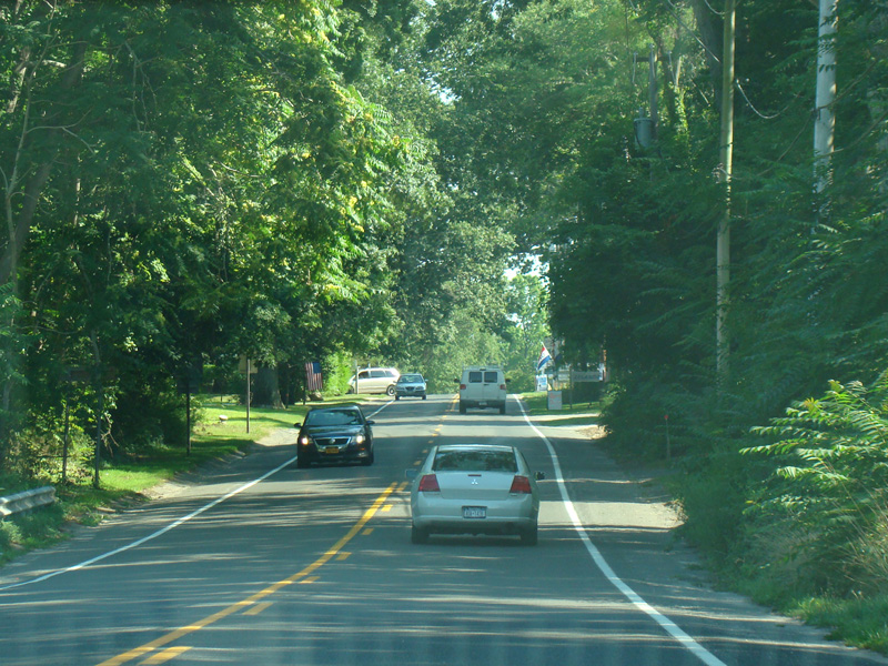
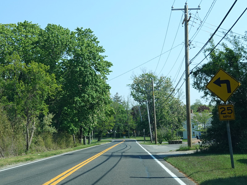
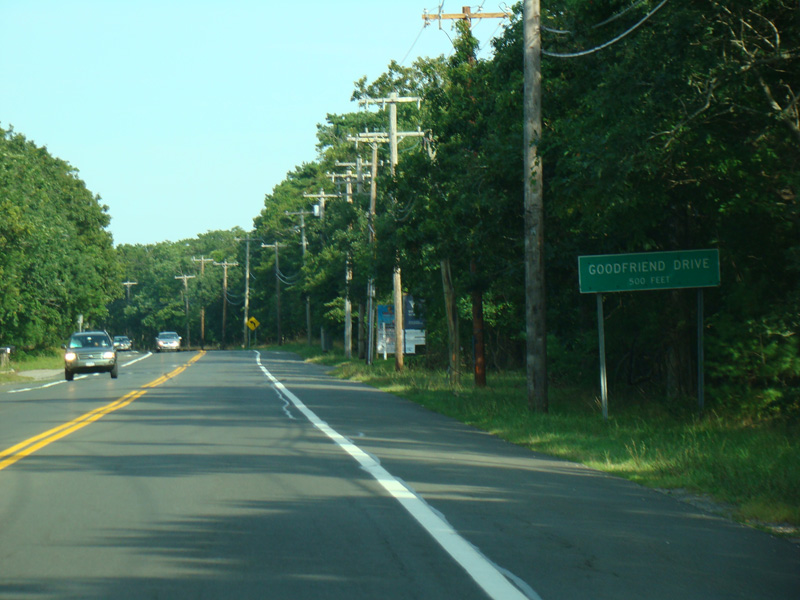
North Ferry Road runs south, eventually becoming a divided road for a few blocks.
Photos taken August 2013.
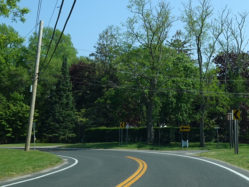
There is a traffic circle. North Ferry Road continues to the left.
Photos taken August 2013.
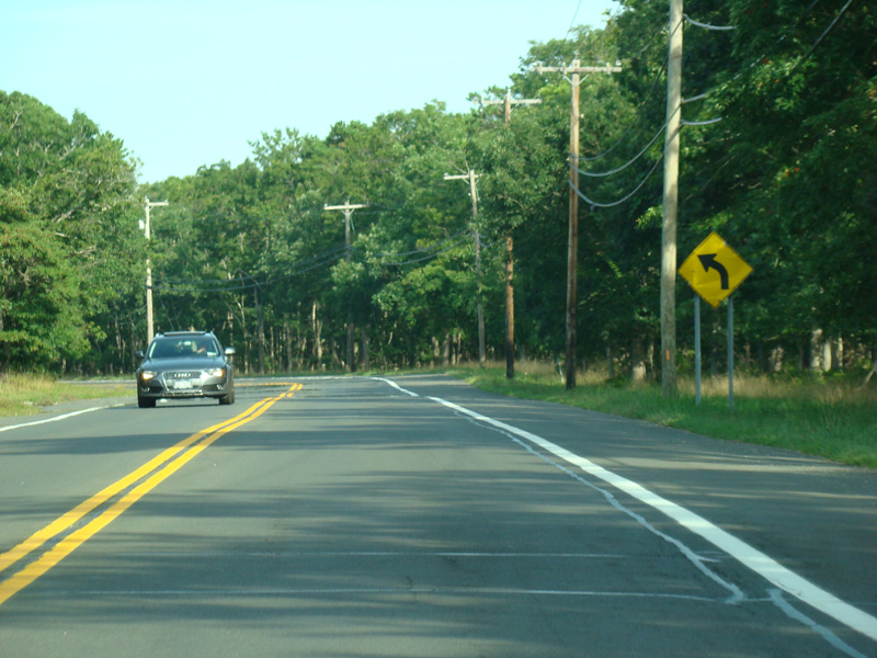
North Ferry Road runs east again for a couple of blocks.
Photo taken August 2013.
Turn right here to stay on North Ferry Road.
Photos taken August 2013.
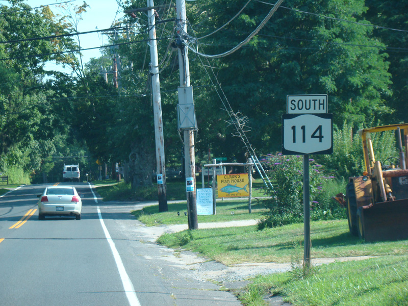
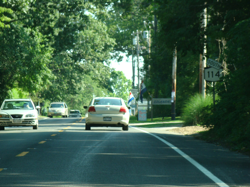
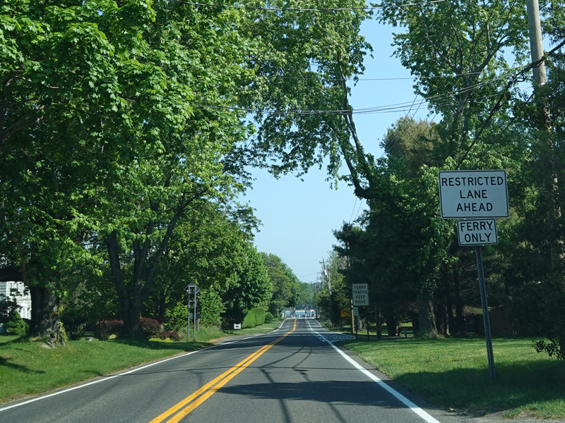
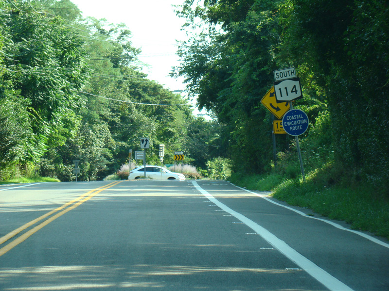
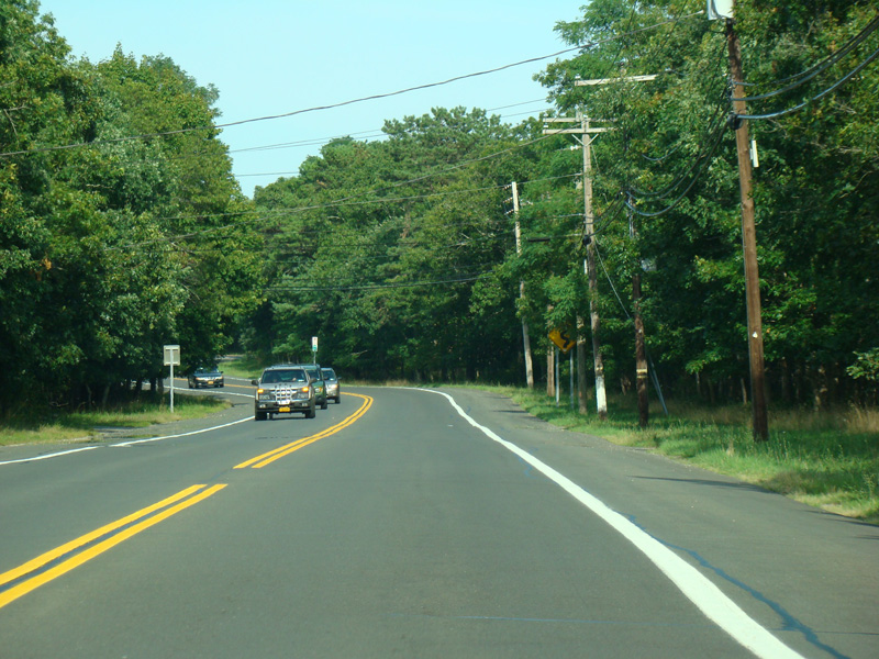
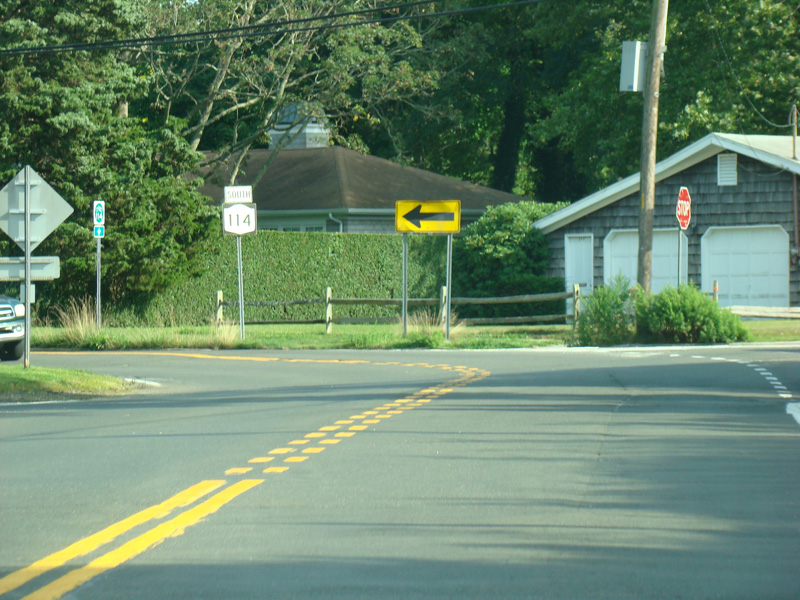
NY 114 continues to the south, changing names from North Ferry Road to South Ferry Road.
Photos taken 2013-2022.
There is a traffic circle. South Ferry Road continues to the right. Cartwright Road (CR 69) is to the left.
Photos taken May 2022.
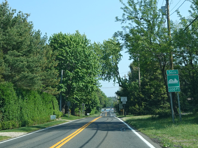
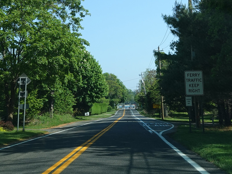
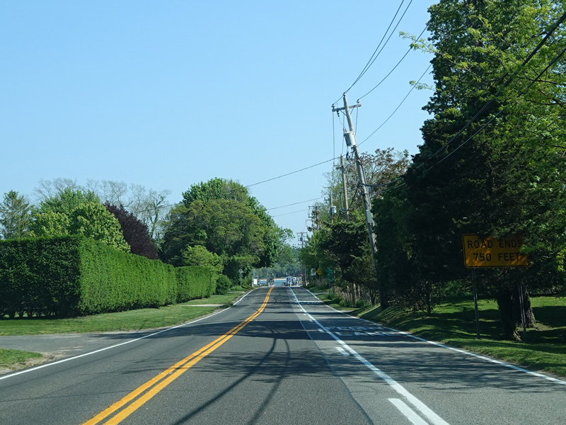
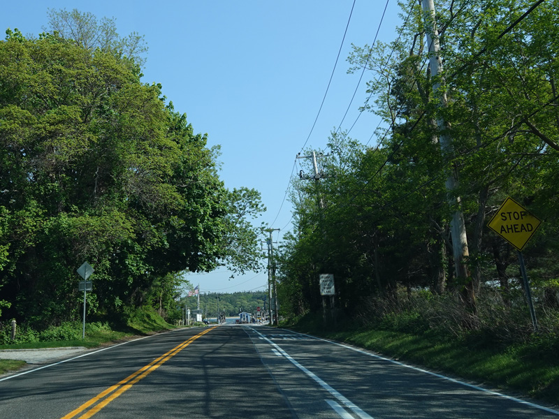
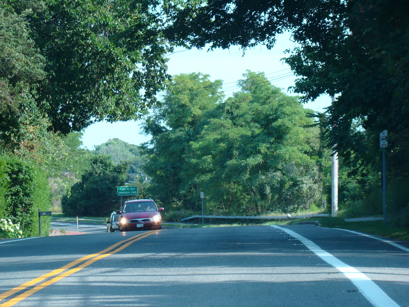
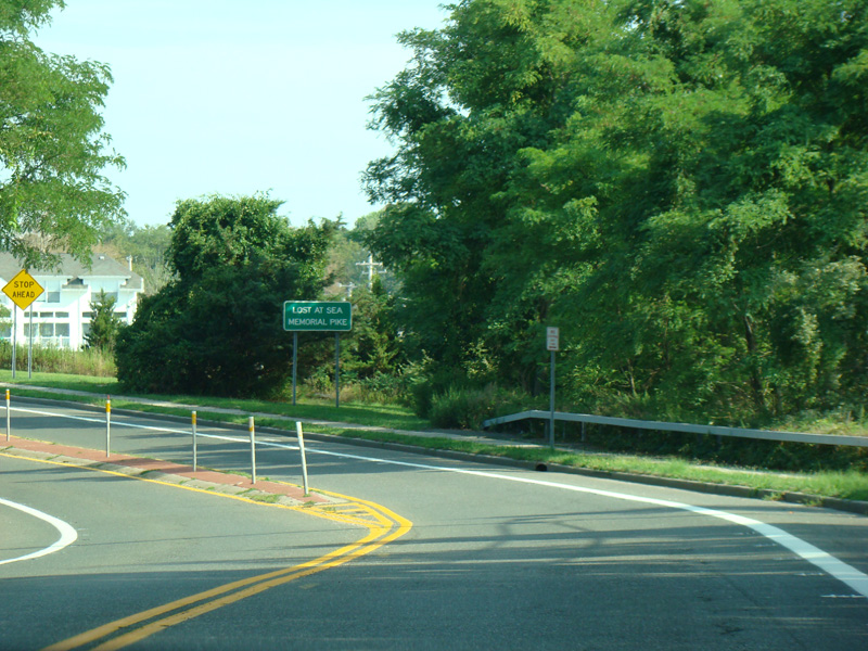
South Ferry Road continues south to the ferry.
Photos taken May 2022.
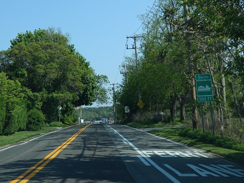
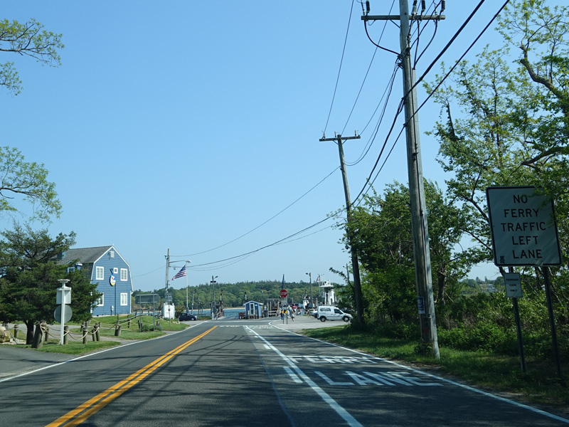
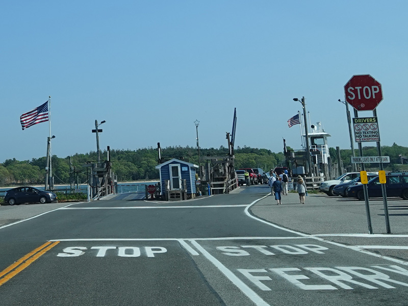
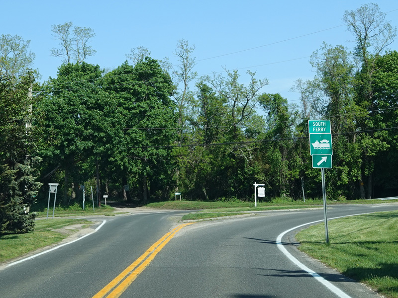
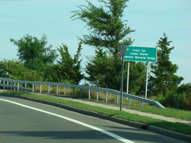
The middle section of NY 114 ends here at the ferry to North Haven.
Photos taken May 2022.
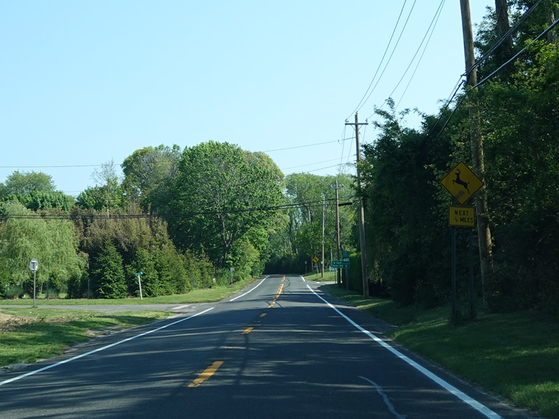
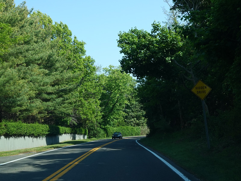
Welcome to North Haven! South Ferry Road continues on the other side of the ferry as a two-lane undivided road with bike lanes. There is one spot where there is a divider going around a curve.
Photos taken August 2013.
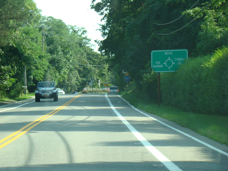
There is a traffic circle. NY 114 continues to the left. Short Beach Road (CR 60) is straight ahead. Tyndall Road is to the right.
Photos taken August 2013.
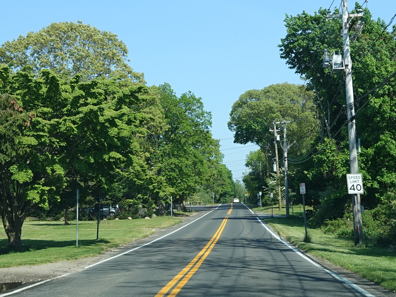
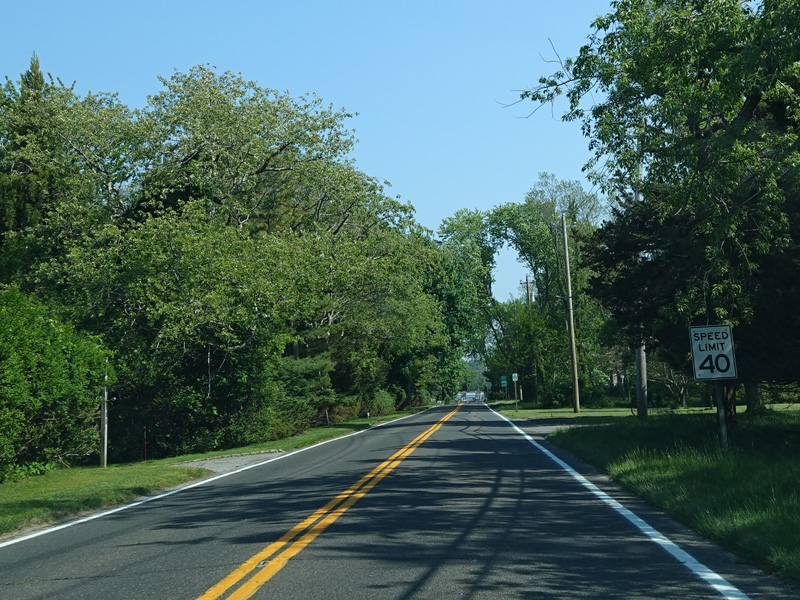
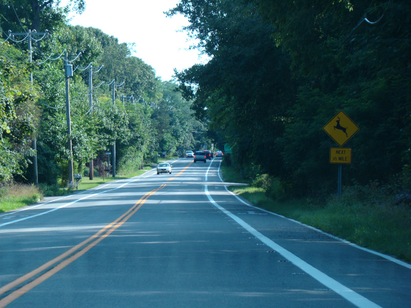
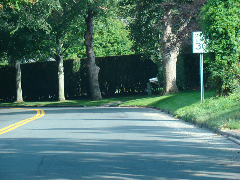
South Ferry Road continues south through North Haven.
Photos taken August 2013.
There is a small bridge from North Haven to Sag Harbor.
Photos taken August 2013.
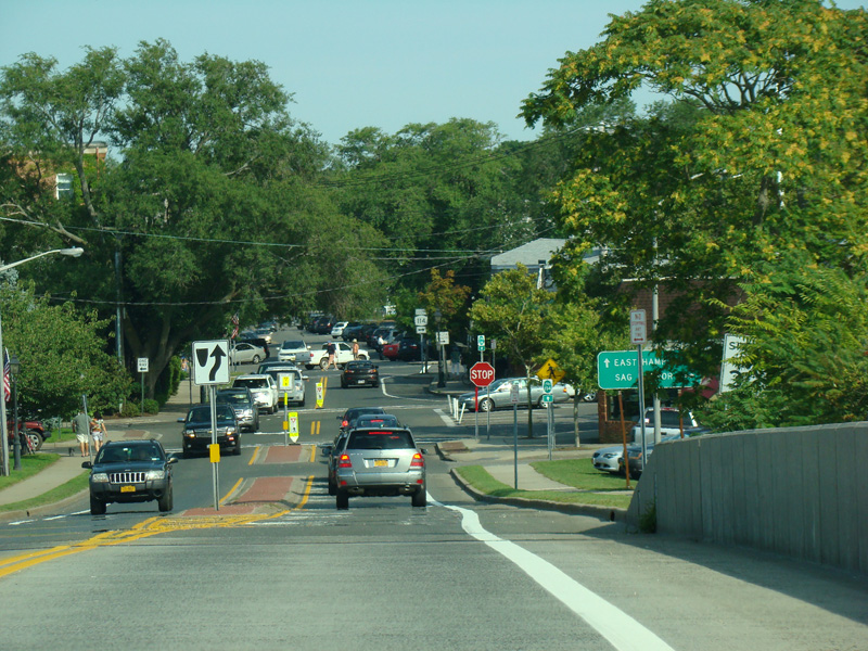
There is a stop sign. Main Street begins on the right.
Photo taken August 2013.
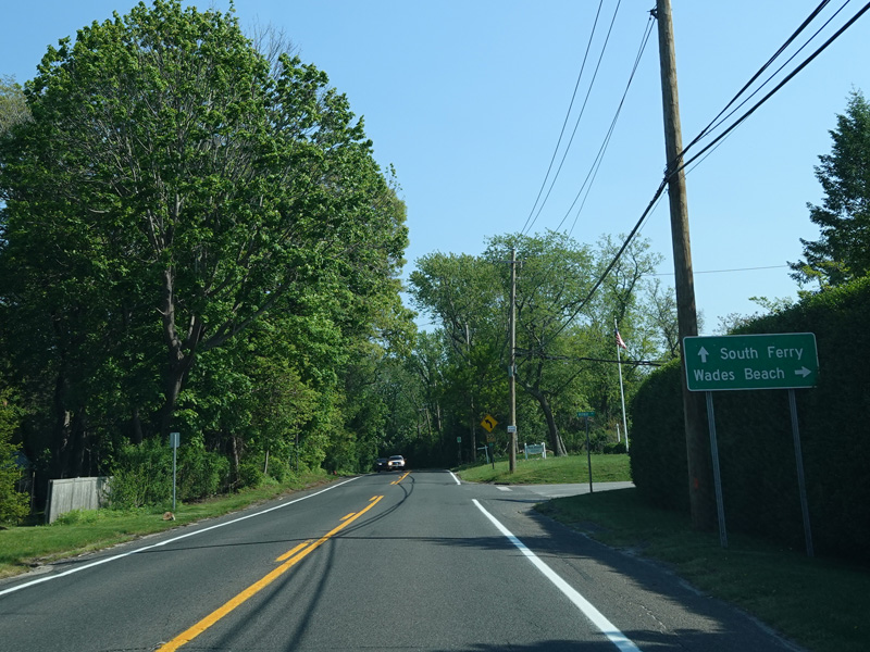
Turn right onto Division Street to stay on NY 114. Bay Street is straight ahead.
Photos taken August 2013.
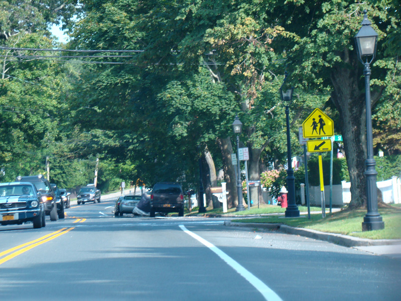
Division Street runs south through Sag Harbor.
Photos taken August 2013.
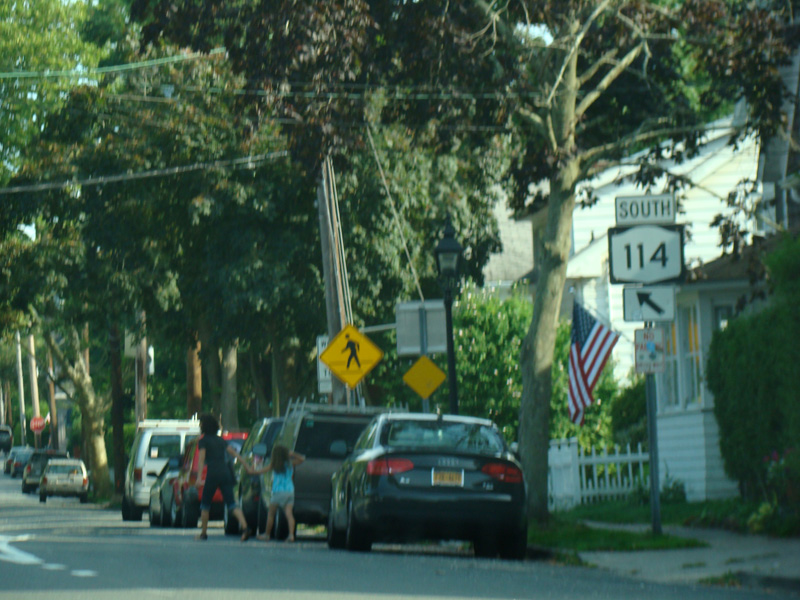
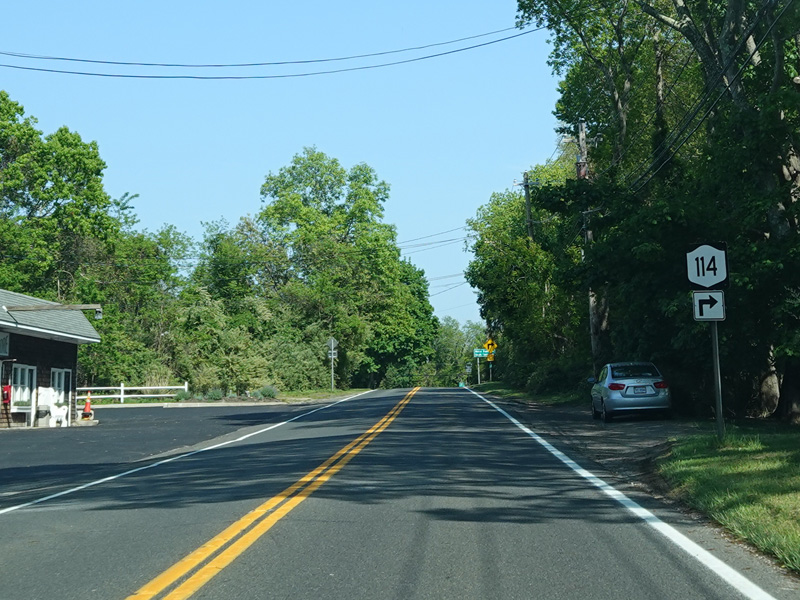
Division Street splits off to the right here to become a local street. Hampton Street is straight ahead.
Photo taken August 2013.
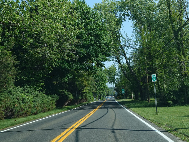
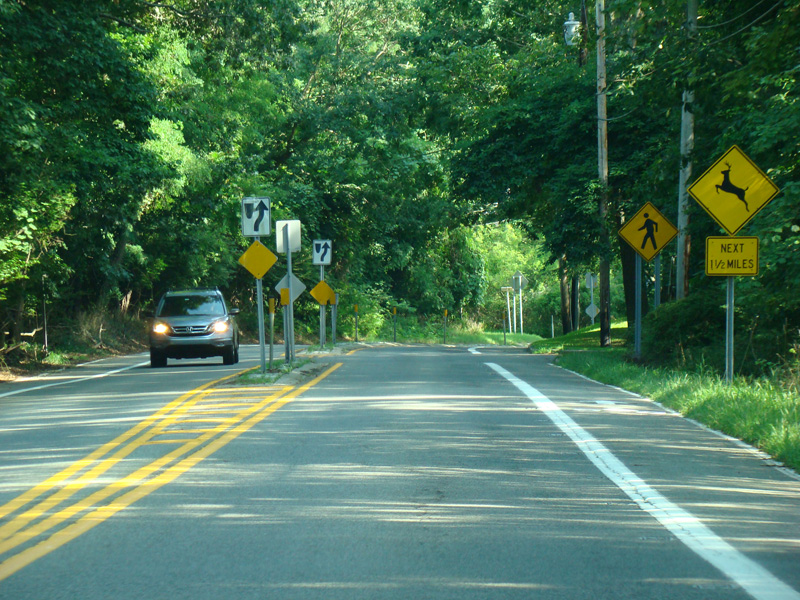
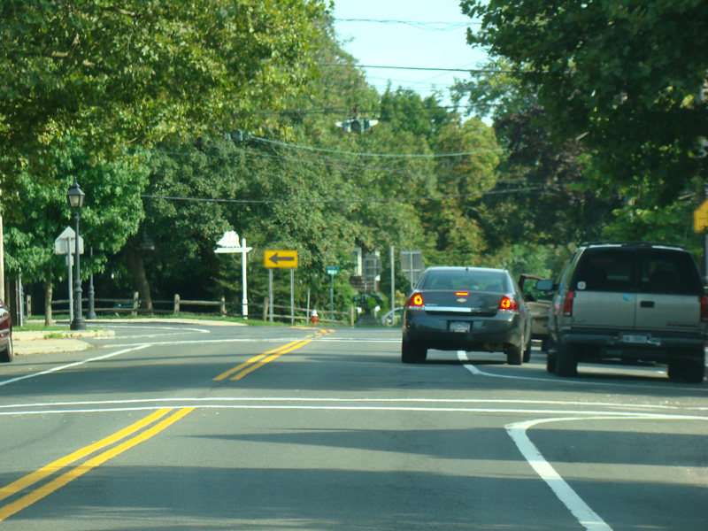
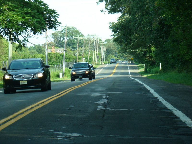
Hampton Street runs south as a two-lane undivided road.
Photos taken August 2013.
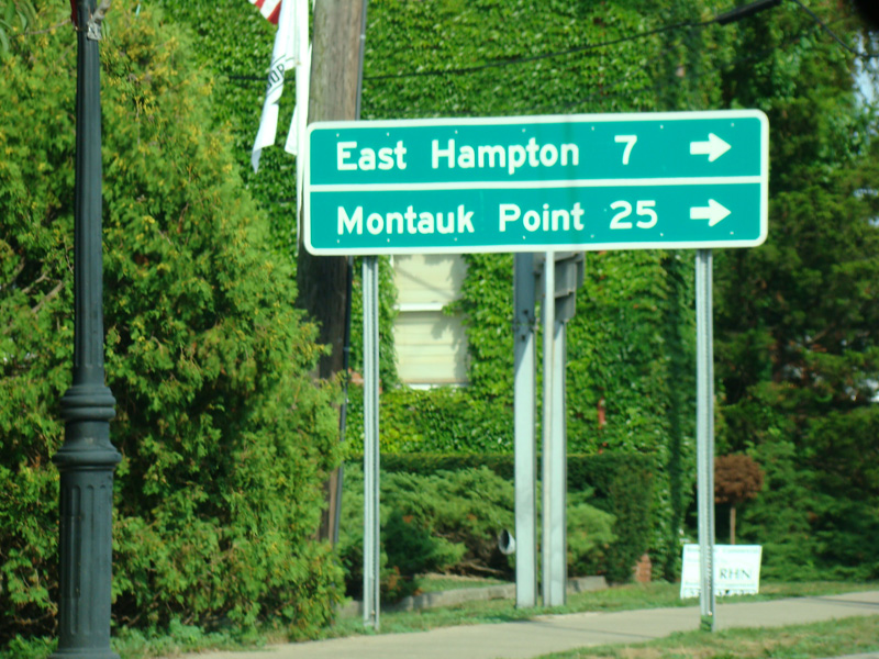
Welcome to the Town of East Hampton! NY 114 changes names at the town line to become East Hampton-Sag Harbor Turnpike.
Photos taken August 2013.
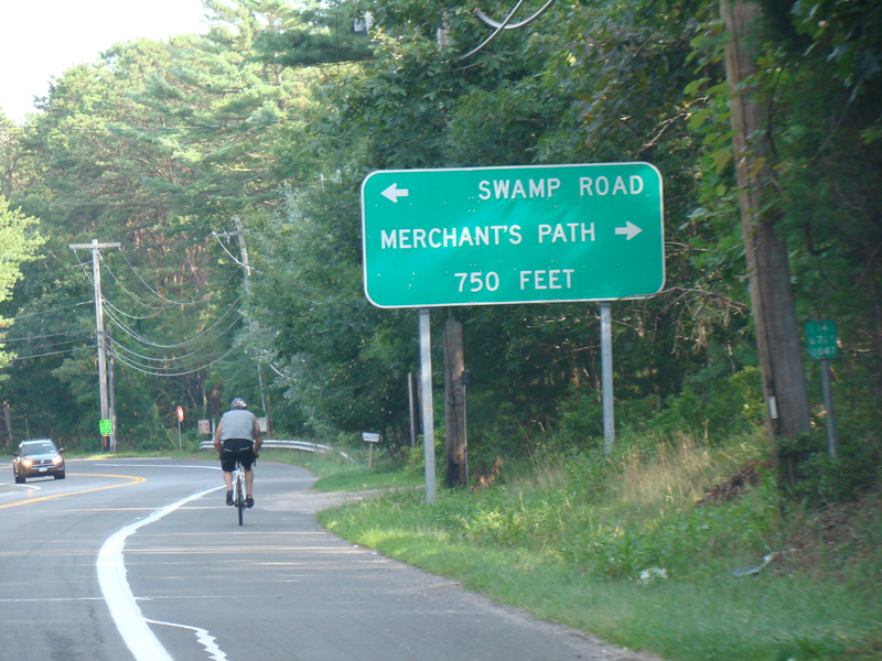
There is an uncontrolled intersection at Swamp Road and Merchant's Path. Swamp Road was proposed to be part of CR 59 but was never actually taken over by the county and remains a local road.
Photo taken August 2013.
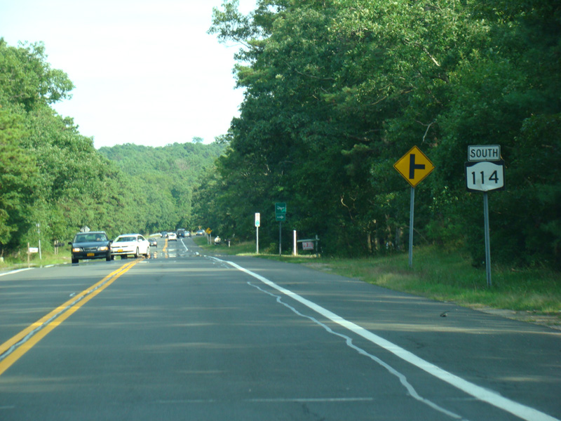
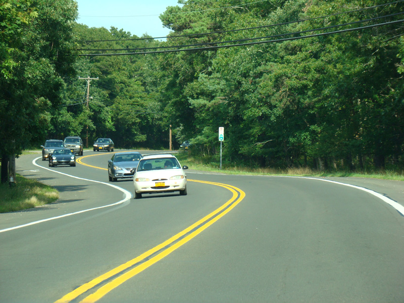
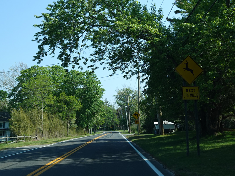
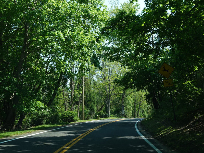
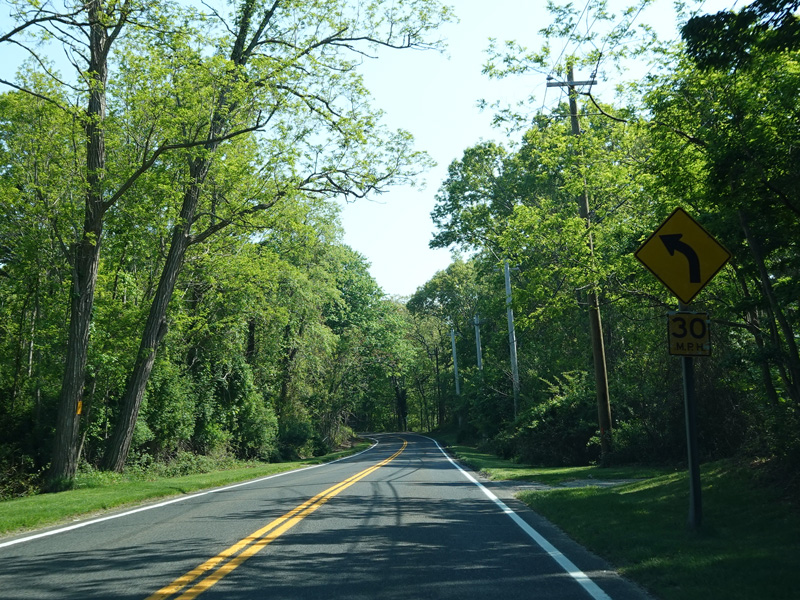
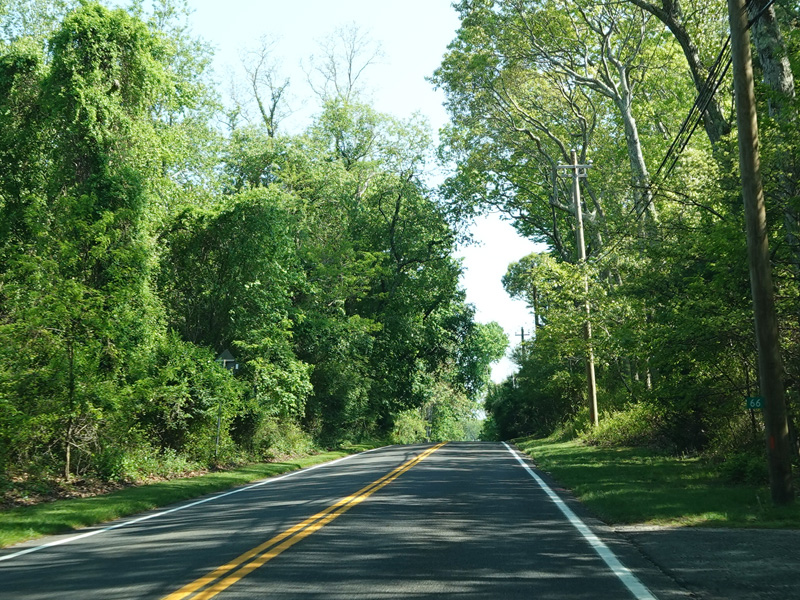
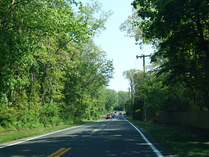
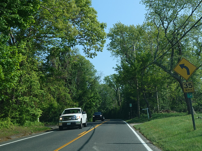
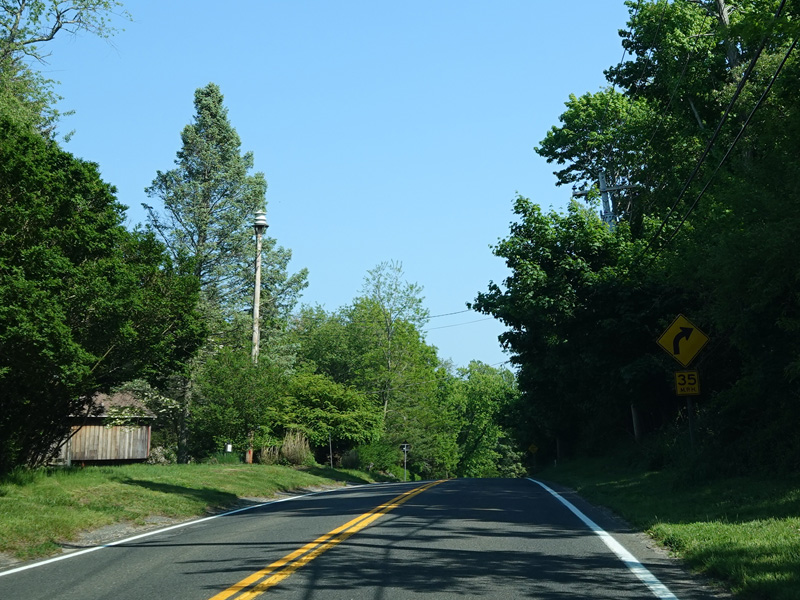
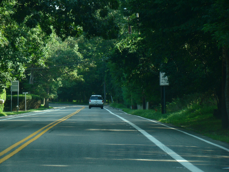
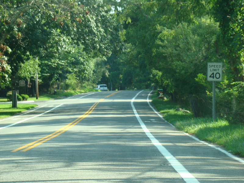
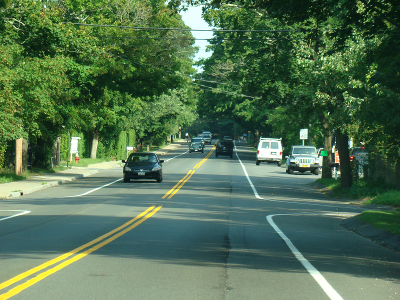
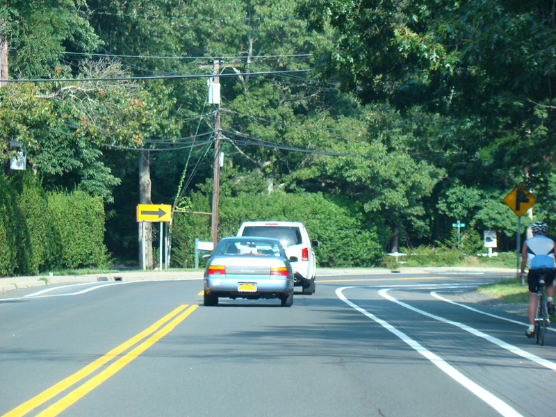
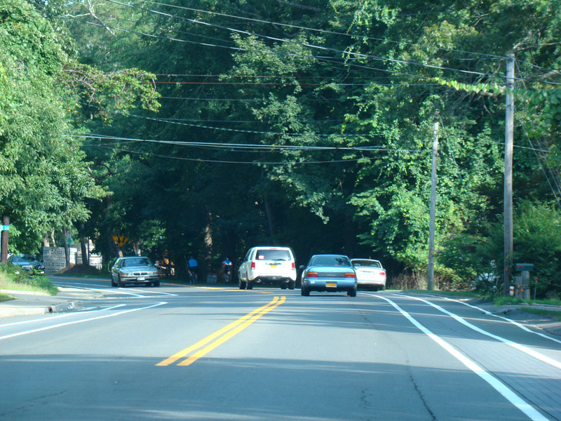
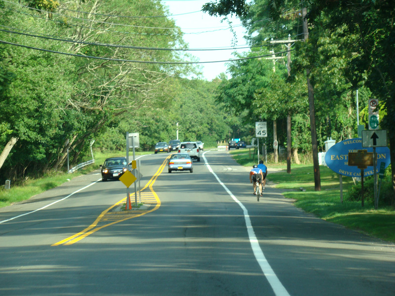
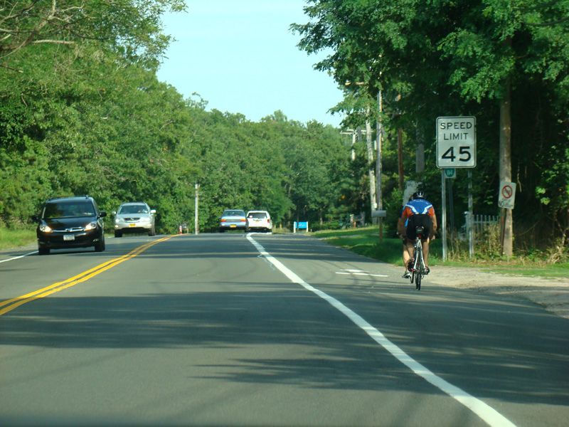
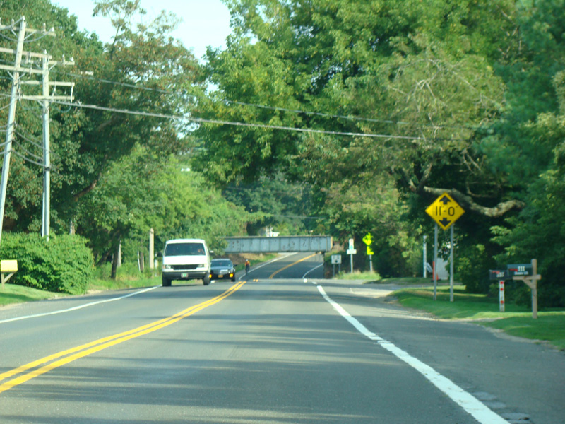
East Hampton-Sag Harbor Turnpike runs southeast as a two-lane undivided road.
Photos taken August 2013.
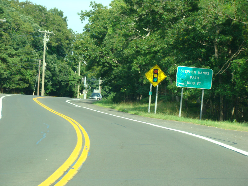
There is a traffic light at Stephen Hands Path. It was proposed for Stephen Hands Path to become CR 113, but it was never taken over by the county and remains a local road.
Photos taken August 2013.
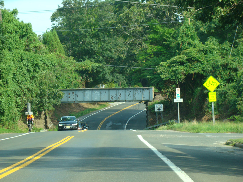
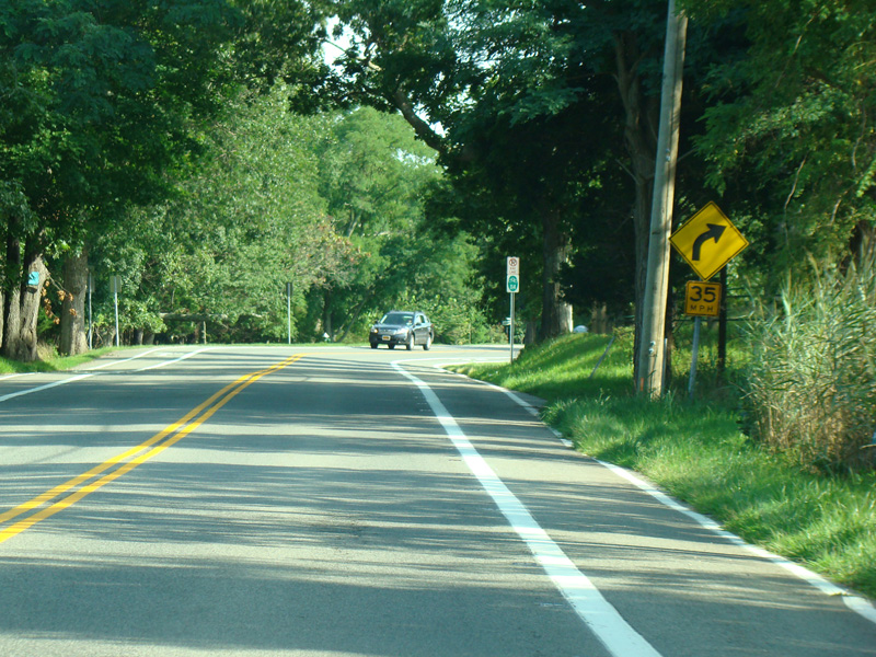
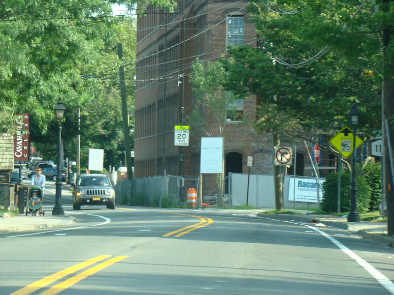
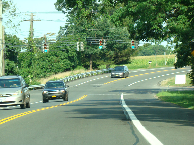
East Hampton-Sag Harbor Turnpike continues south, passing under the Montauk branch of the Long Island Rail Road.
Photos taken August 2013.
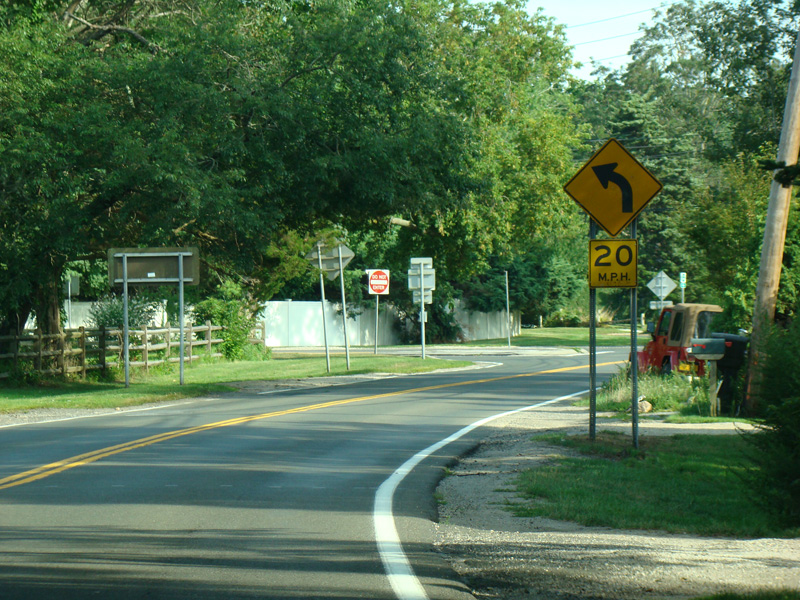
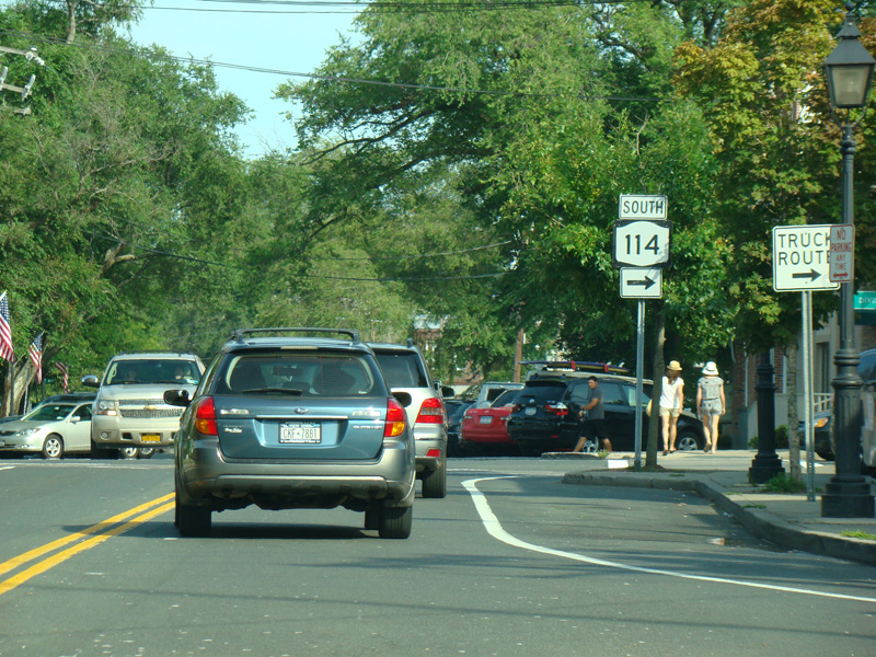
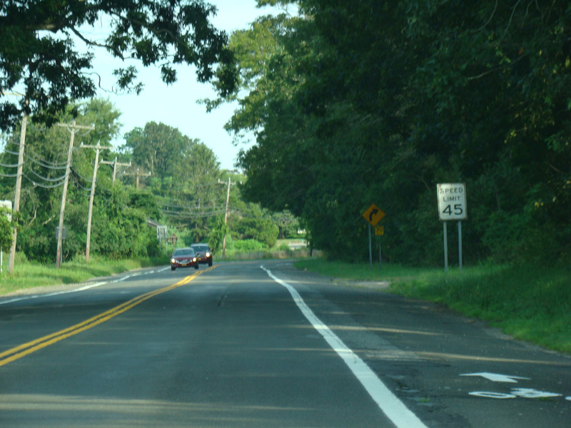
NY 114 curves to the left and changes names to become Buell Lane.
Photos taken August 2013.
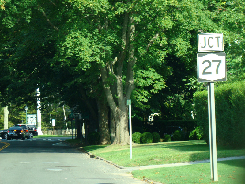
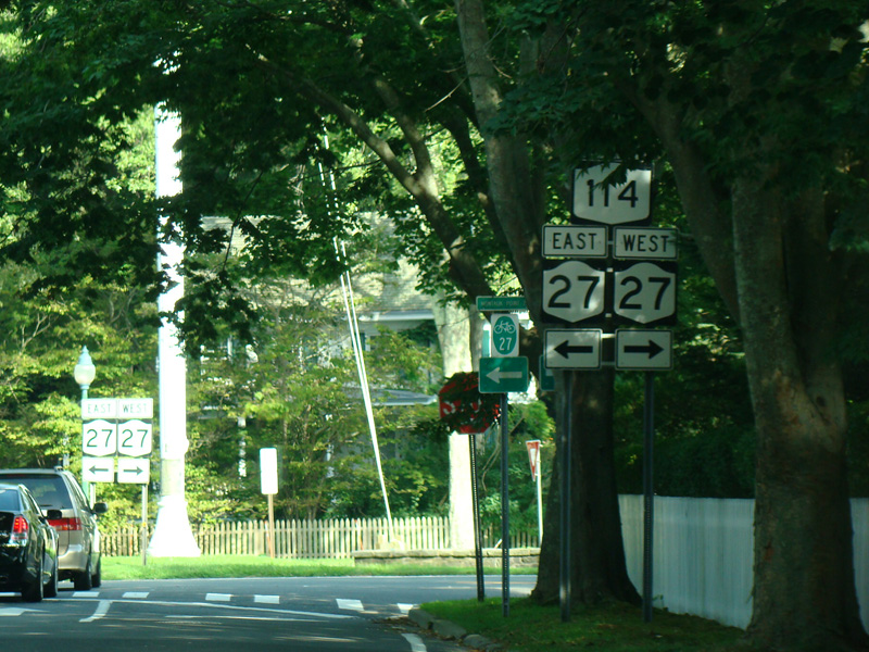
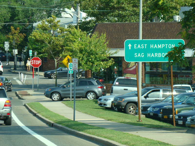
NY 114 ends at Montauk Highway (NY 27) in East Hampton. Turn left to go east or right to go west.
Photos taken August 2013.