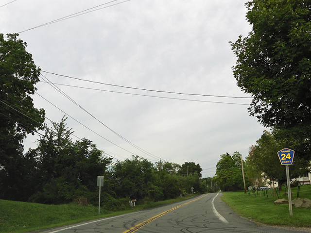
Guymard Turnpike
- Direction:
- East/West
- Western Terminus:
- Mountain Road (CR 35/CR 73) in Otisville
- Eastern Terminus:
- Mount Hope Road (CR 11) in Otisville
- Distance:
- 2.89 miles
- Signed:
- Yes
Guymard Turnpike is an east/west route in Otisville. It begins at the point where Mountain Road changes designation from CR 35 to CR 73 and runs east to Mount Hope Road (CR 11). The entire length is a two-lane undivided road.
| Photo Gallery |
|---|
| Map |