Queensboro Bridge, Queens Boulevard, Hillside Avenue, Braddock Avenue, Jericho Turnpike, Main Street, Middle Country Road, Main Road
Westbound Views
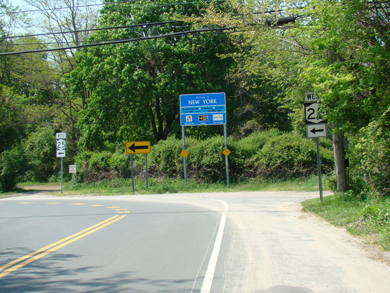
NY 25 begins at the ferry terminal in Orient Point. It is called Main Road here on the North Fork. A border-crossing sign welcomes people arriving on the ferry from New London, Connecticut, to New York State, even though the state line is many miles away from here in the middle of Long Island Sound. Main Road runs north for one block and then curves to the west.
Photos taken May 2018.
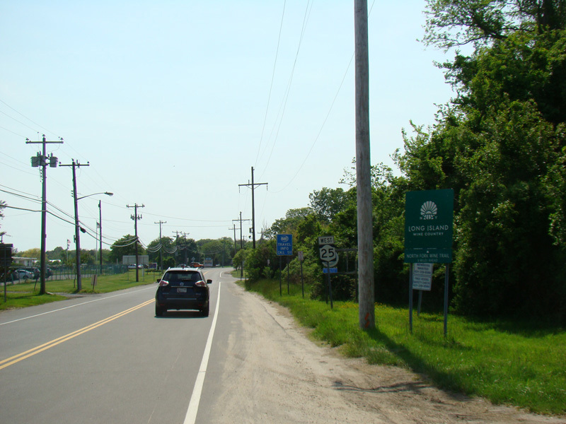
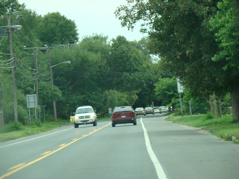
Main Road runs west through Orient Point and Orient.
Photos taken 2009-2018.
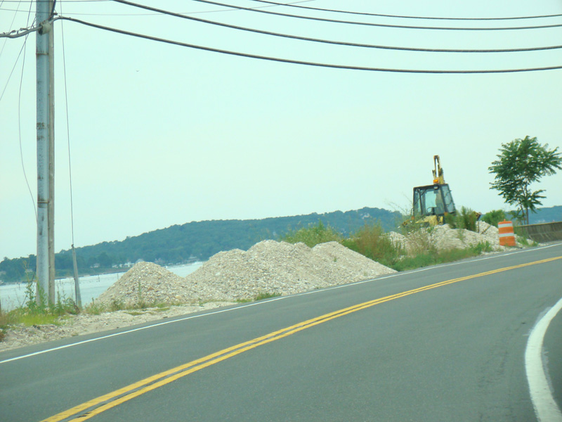
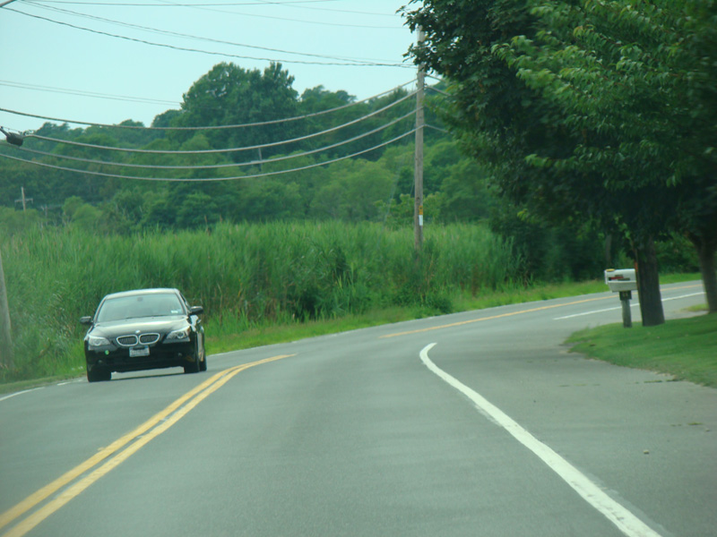
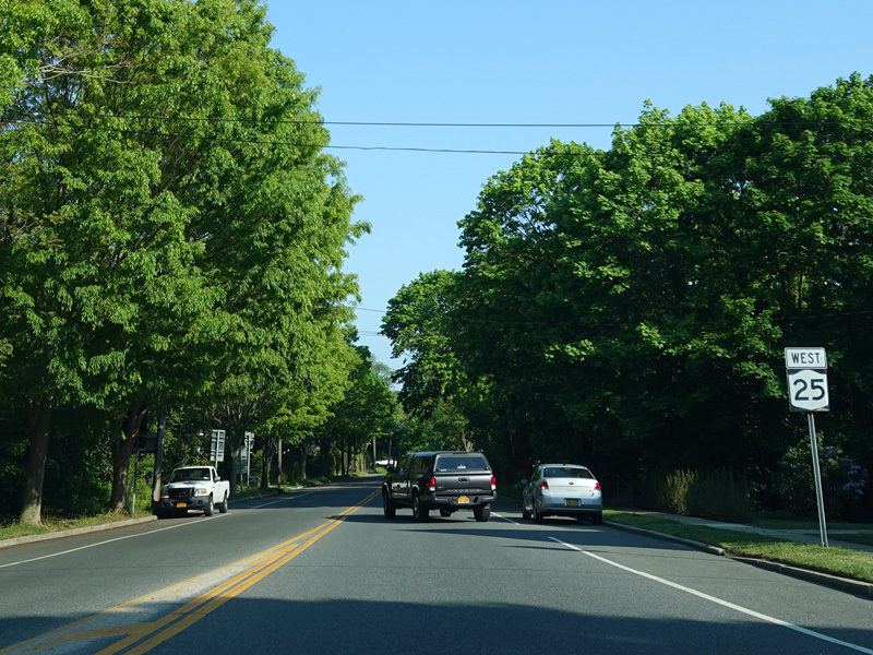
Main Road crosses the isthmus connecting Orient to the rest of the North Fork.
Photos taken August 2009.
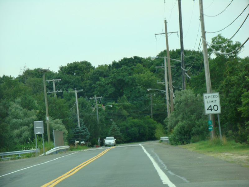
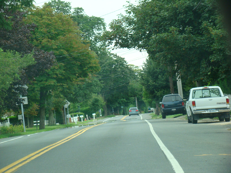
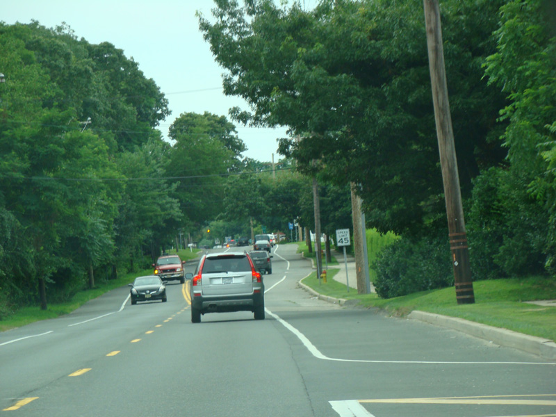
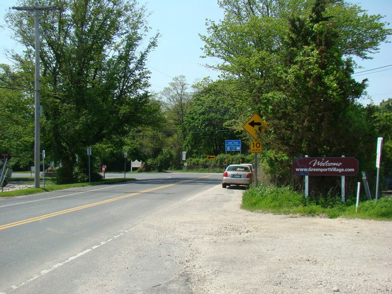
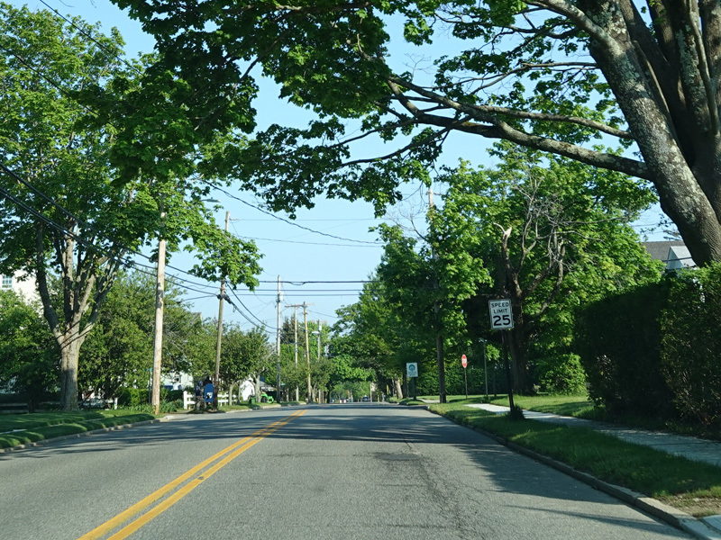
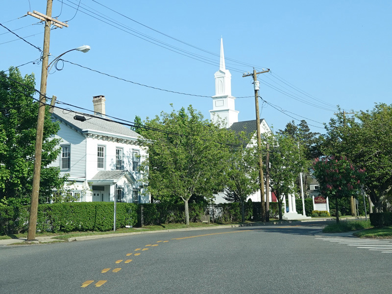
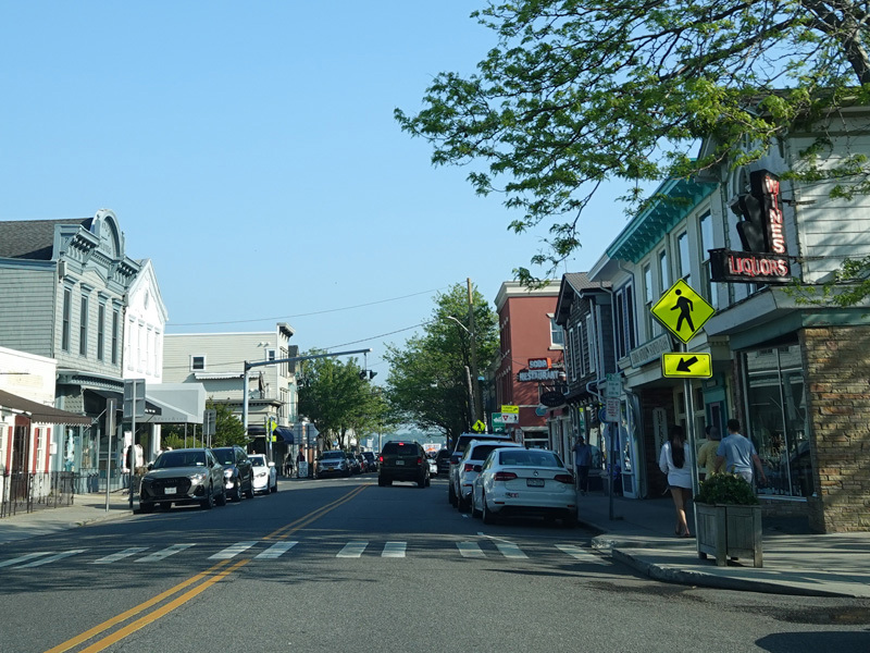
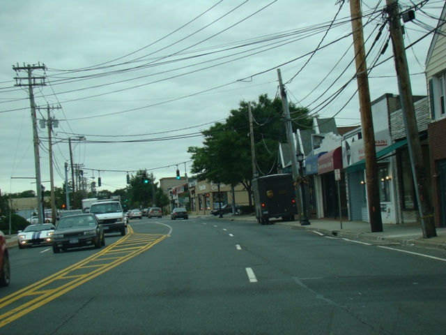
Main Road continues west to Greenport.
Photos taken August 2009.
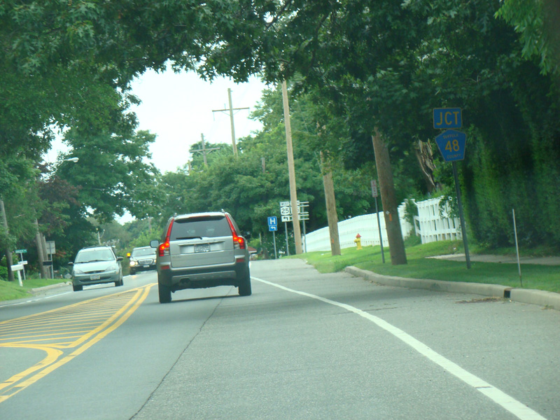
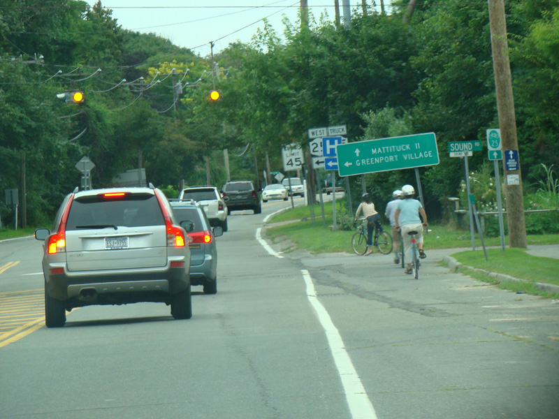
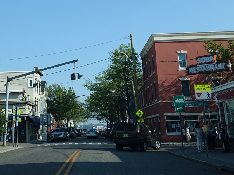
There is a flasher. Turn left onto Main Street to stay on NY 25. Middle Road (CR 48) is straight ahead. There is a truck route along Middle Road, Sound Avenue, and Aldrich Lane that bypasses curvy stretches of NY 25 west of here.
Photos taken August 2009.
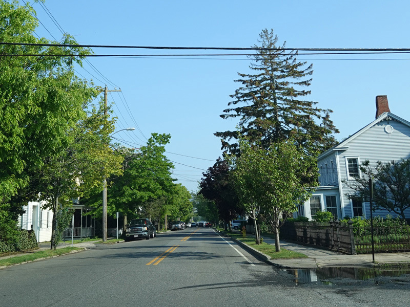
Main Street runs south as a two-lane undivided road, crossing the North Fork.
Photos taken May 2022.
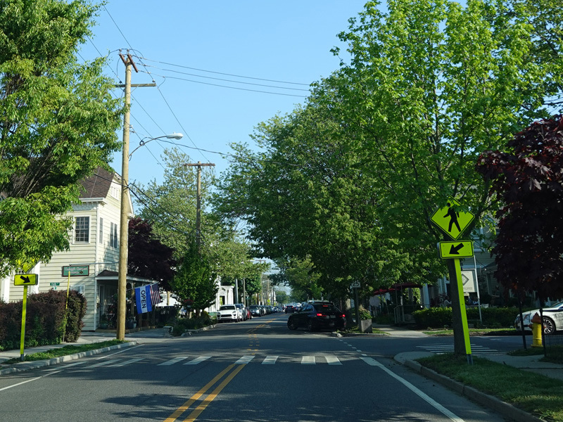
There is flasher at Front Street. Turn right to stay on NY 25.
Photos taken May 2022.
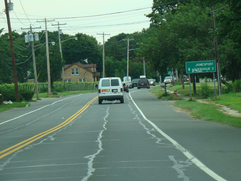
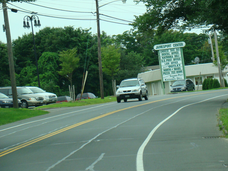
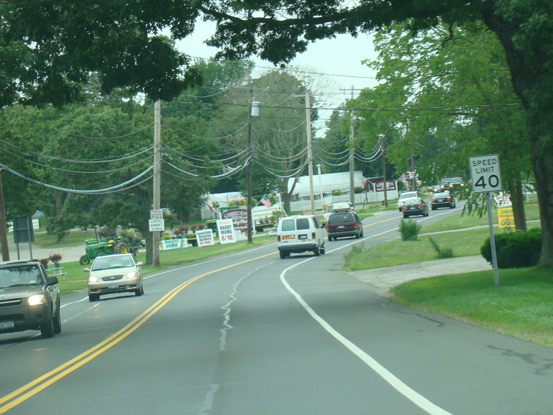
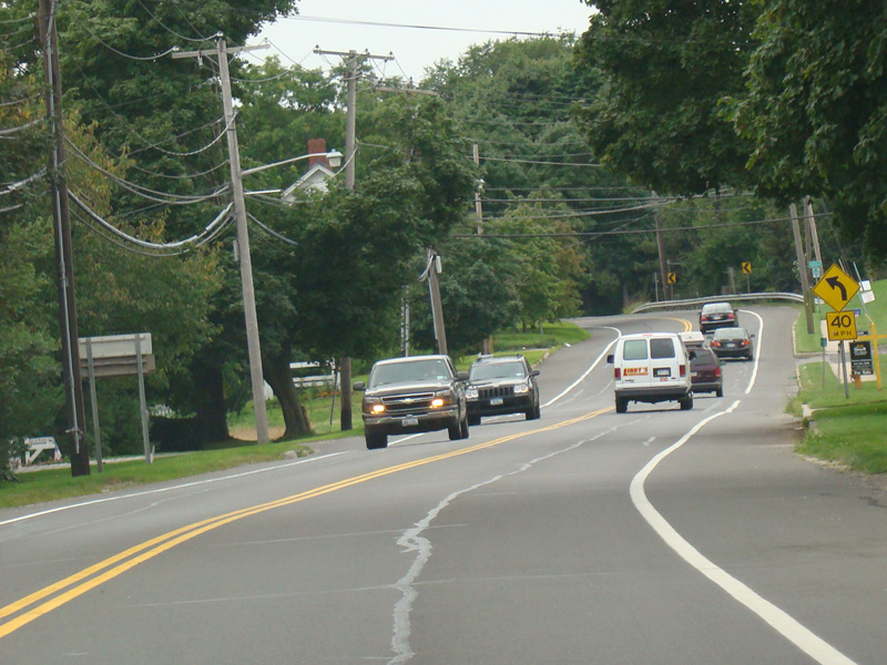
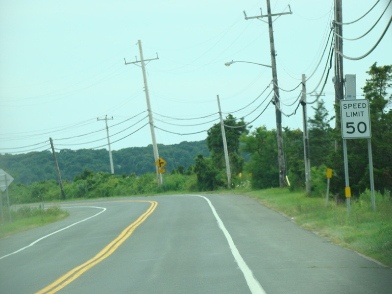
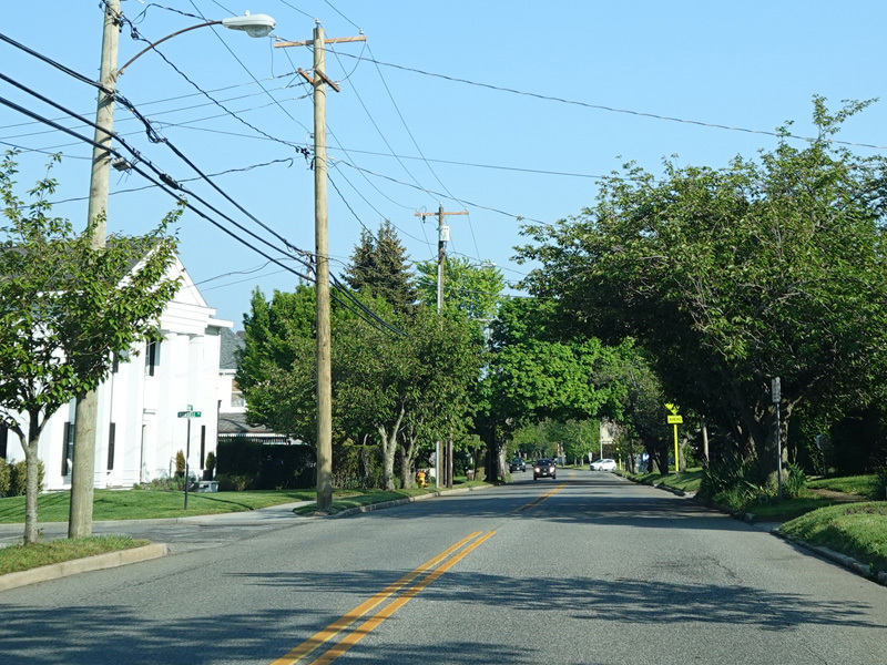
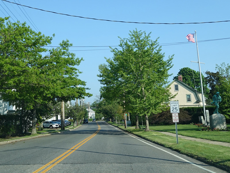
Skipping a substantial distance to the west, Main Road runs through Jamesport.
Photos taken August 2009.
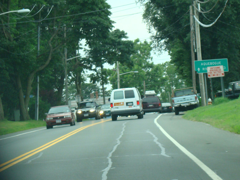
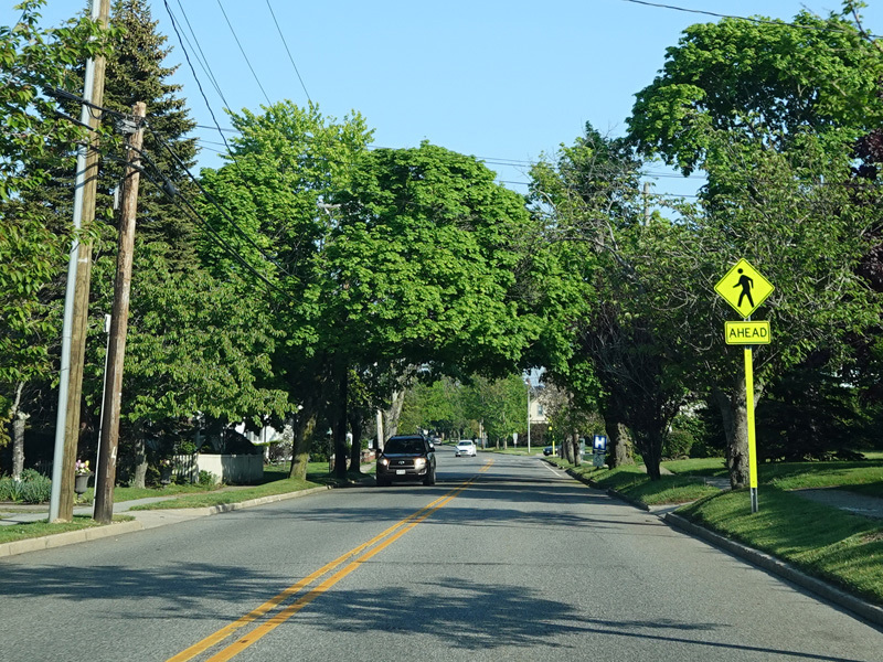
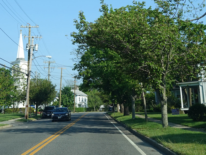
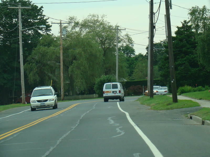
Welcome to Aquebogue!
Photos taken August 2009.
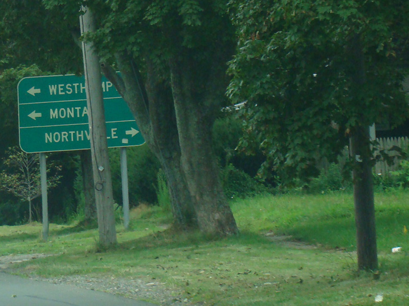
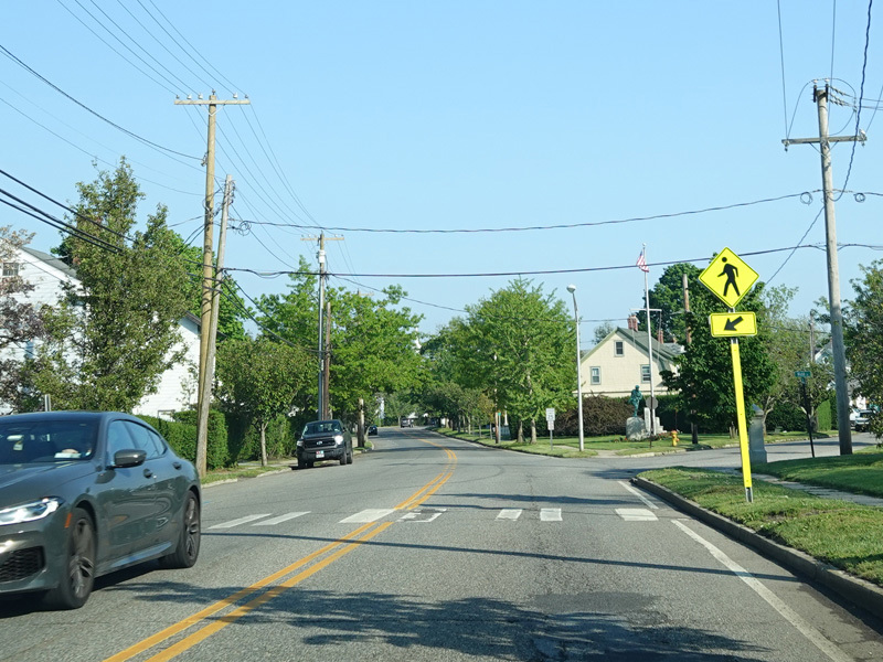
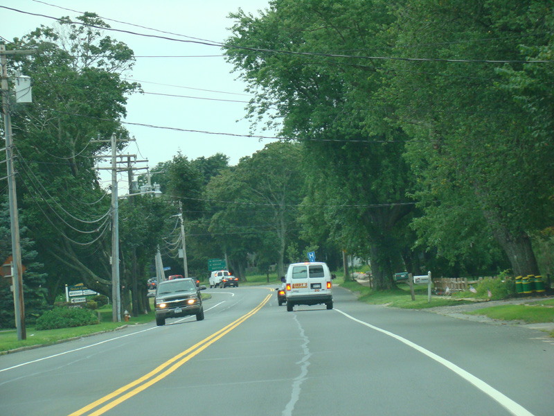
There is a traffic light at Cross River Drive (CR 105). Turn right to go north or left to go south. The sign in the first photograph, which is partially occluded by a tree and a telephone pole, gives the directions to Westhampton, Montauk, and Northville.
Photos taken August 2009.
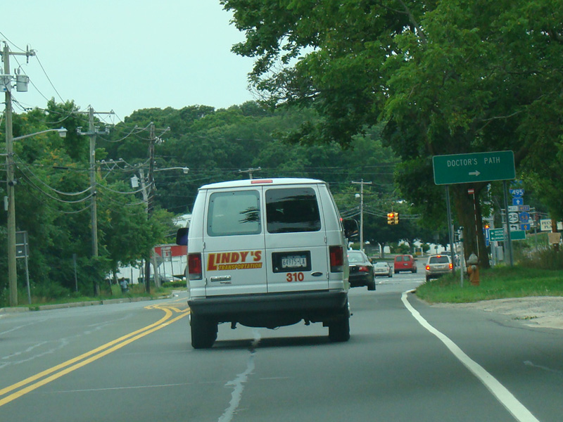
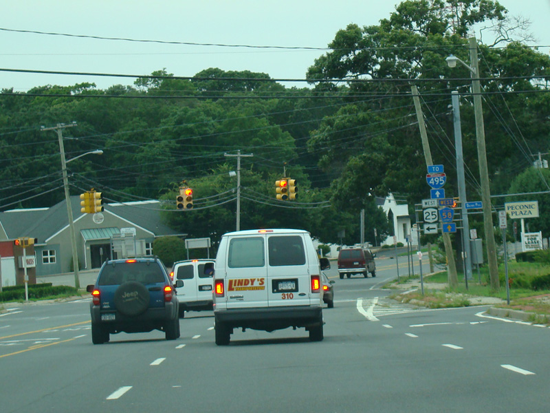
Main Road ends here at this traffic light. Turn left onto Main Street to stay on NY 25. Old Country Road (CR 58) is straight ahead and provides the most direct route from here to the Long Island Expressway (I-495). Doctor's Path is to the right.
Photos taken August 2009.
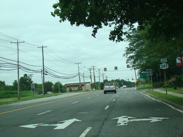
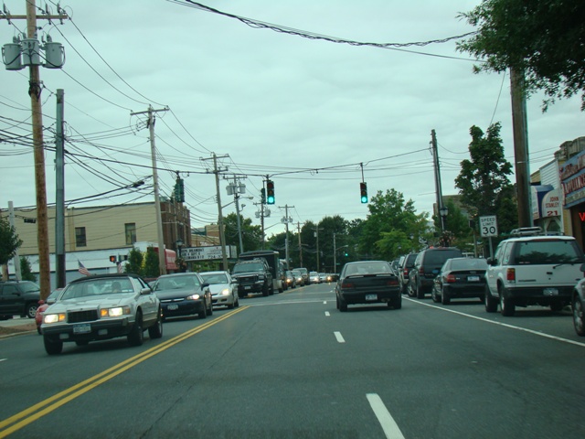
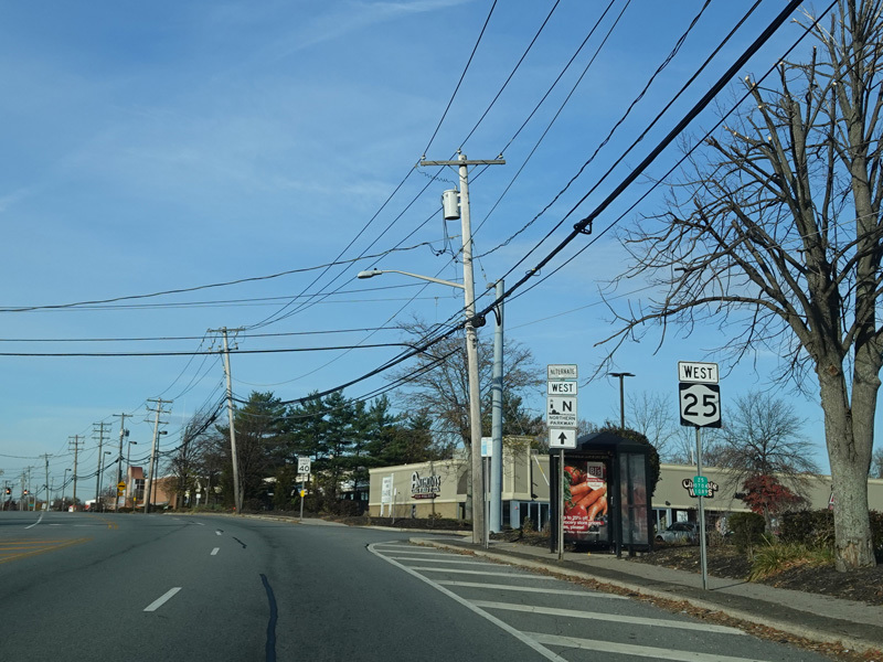
Skipping a substantial distance to the west once again, there is a traffic light at Nesconset Highway (NY 347).
Photos taken August 2007.
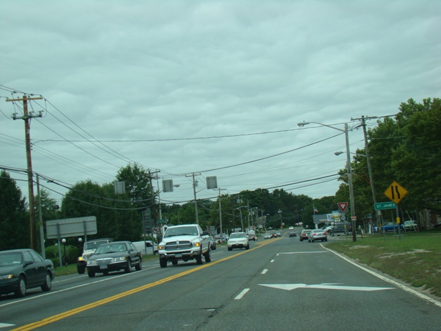
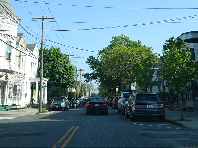
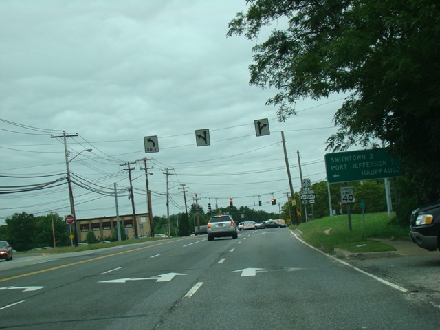
In Saint James, Middle Country Road narrows down to two lanes.
Photos taken August 2007.
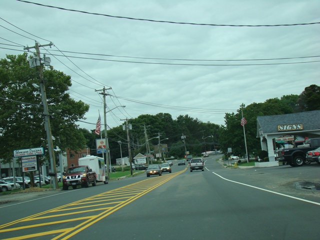
Terry Road (CR 16) begins on the left here.
Photos taken August 2007.
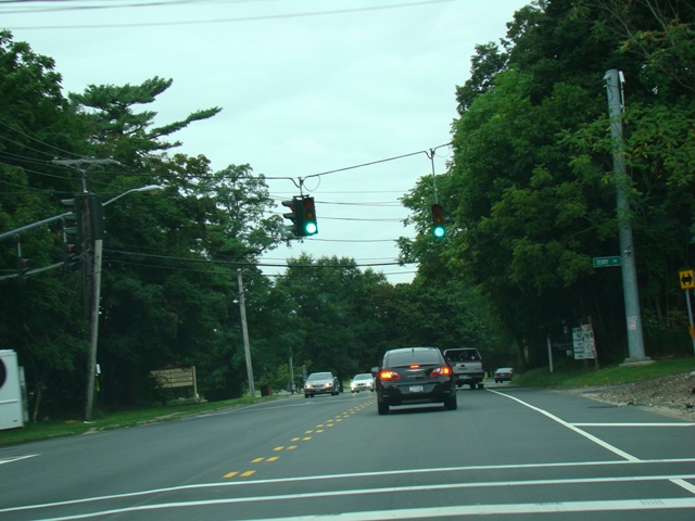
Welcome to Smithtown!
Photo taken August 2007.
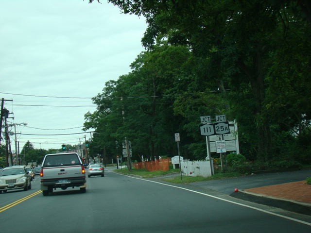
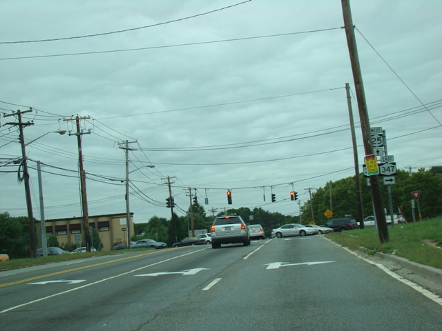
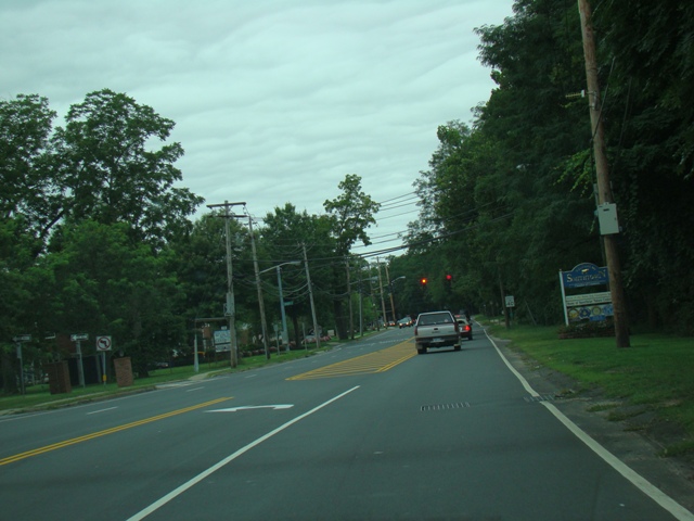
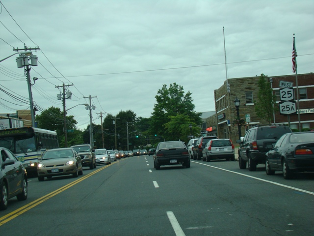
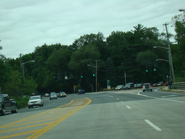
Middle Country Road ends at this traffic light. Turn right to go east on North Country Road (NY 25A). Turn left to go south on Hauppauge Road (NY 111). NY 25 continues straight ahead, multiplexed with NY 25A, as Main Street.
Photos taken August 2007.
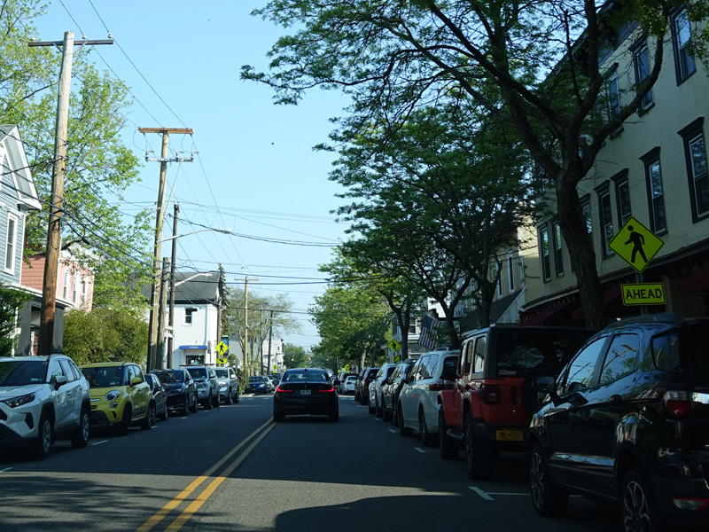
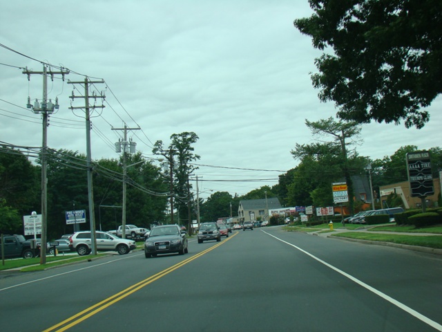
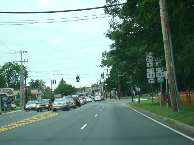
Main Street runs west through Smithtown as a four-lane undivided road.
Photos taken August 2007.
NY 25A splits off to the right as Saint Johnland Road. NY 25 continues straight ahead as Jericho Turnpike, a name that it carries from here all the way to the Queens-Nassau county line.
Photos taken August 2007.
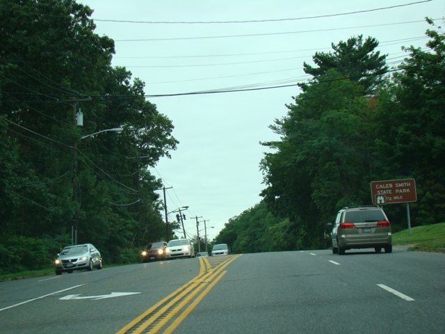
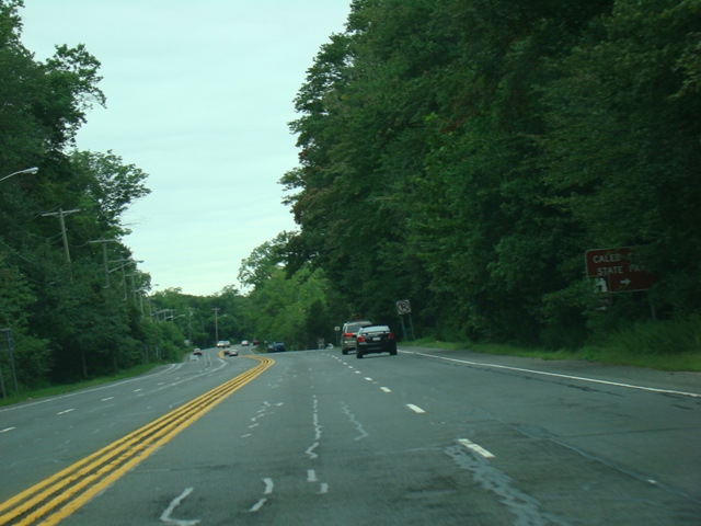
Caleb Smith State Park is on the right at the beginning of Jericho Turnpike.
Photos taken August 2007.
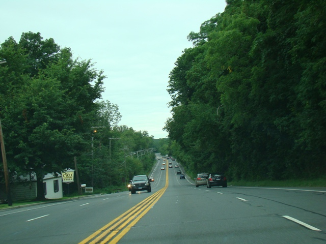
Jericho Turnpike runs west as a four-lane undivided road.
Photos taken August 2007.
Indian Head Road (CR 14) begins on the right at a traffic light. Immediately after the light, there is an entrance to the Sunken Meadow Parkway.
Photos taken August 2007.
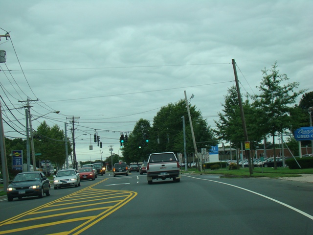
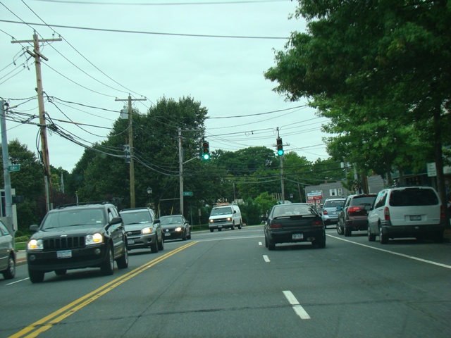
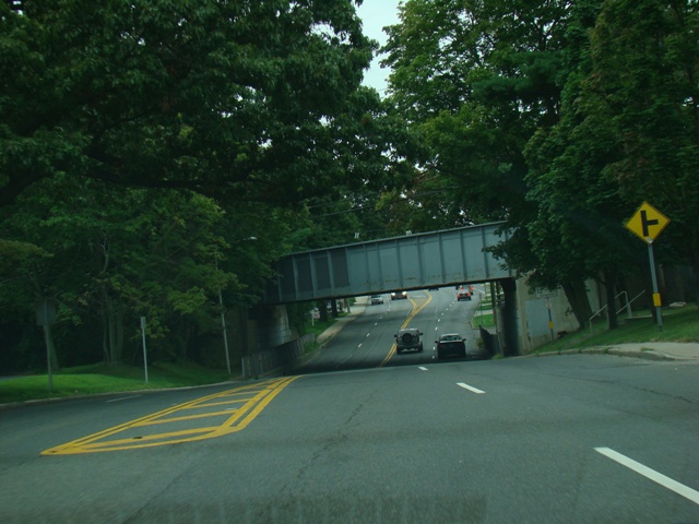
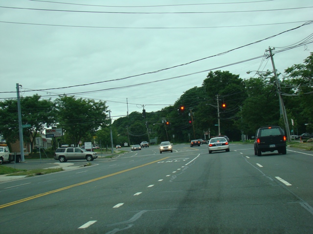
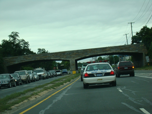
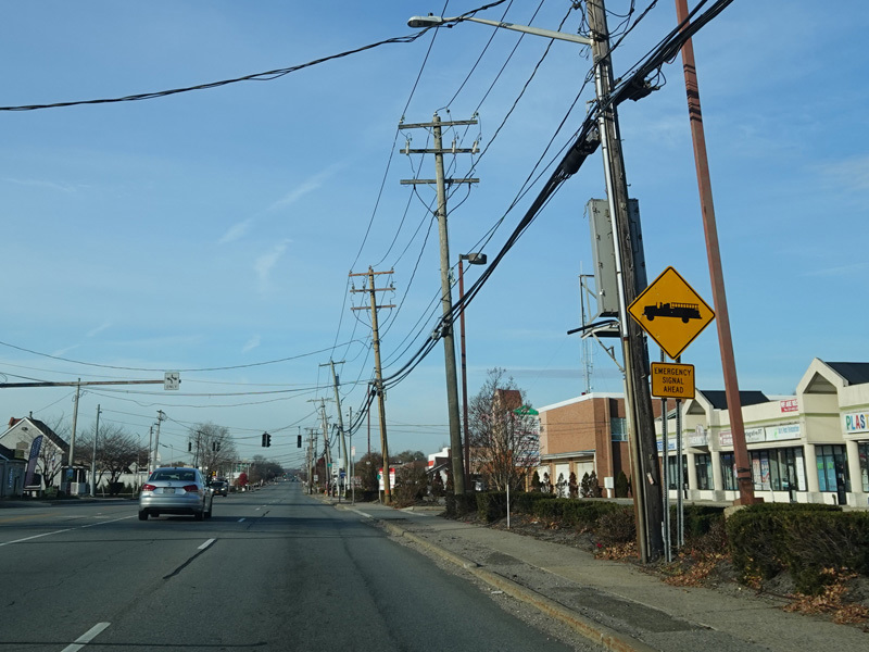
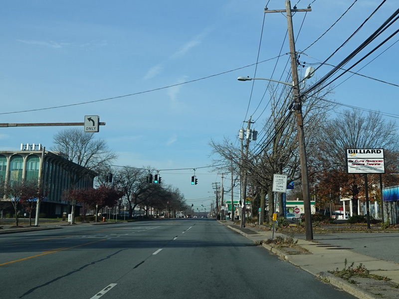
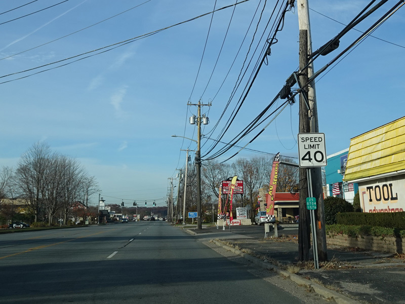
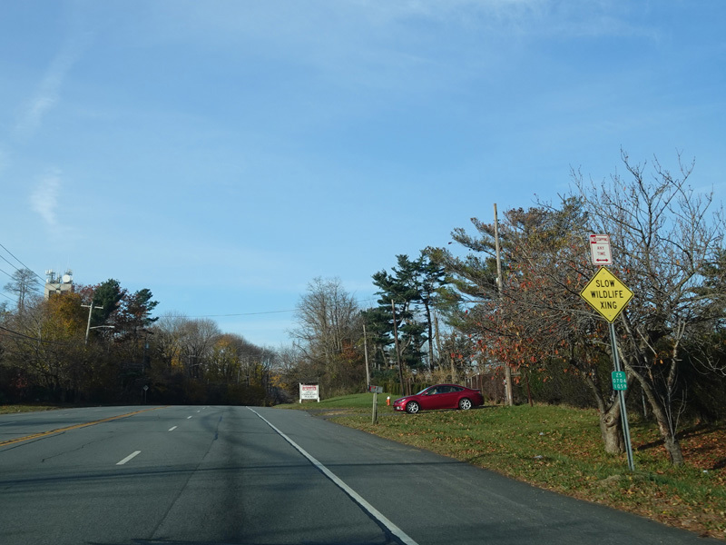
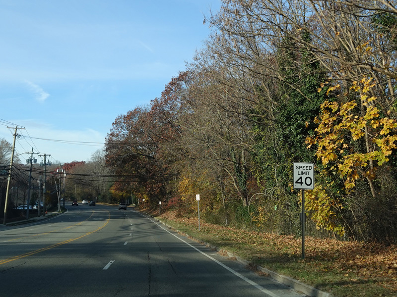
Jericho Turnpike runs west to Commack.
Photos taken November 2021.
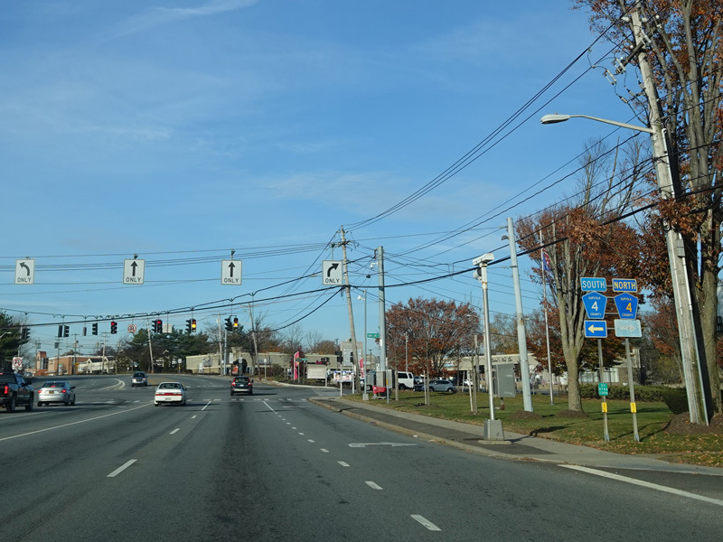
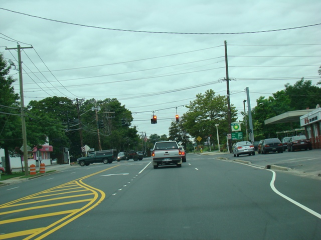
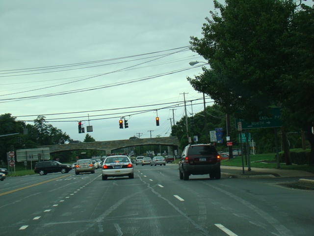
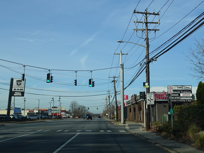
There is a traffic light at CR 4. Turn right onto Town Line Road to go north or left onto Commack Road to go south.
Photo taken November 2021.
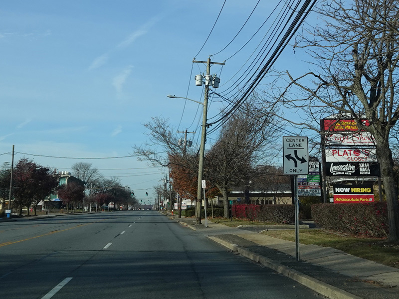
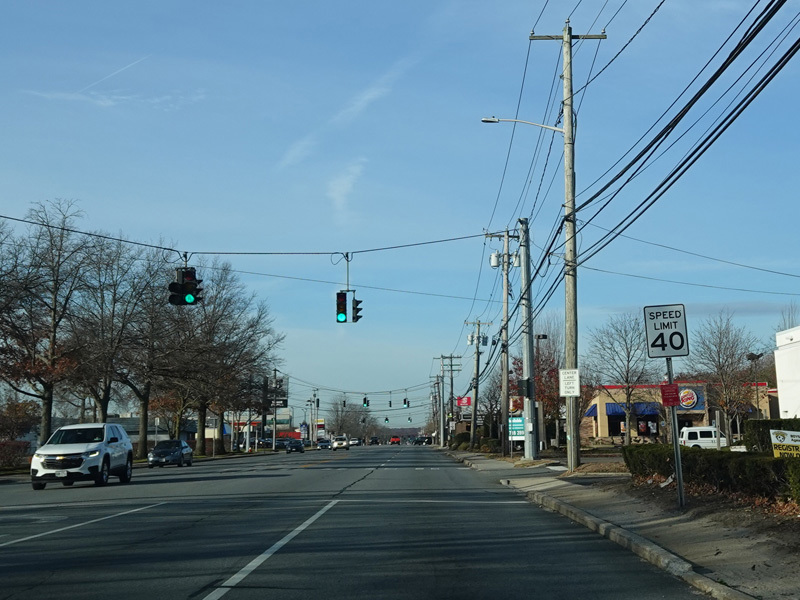
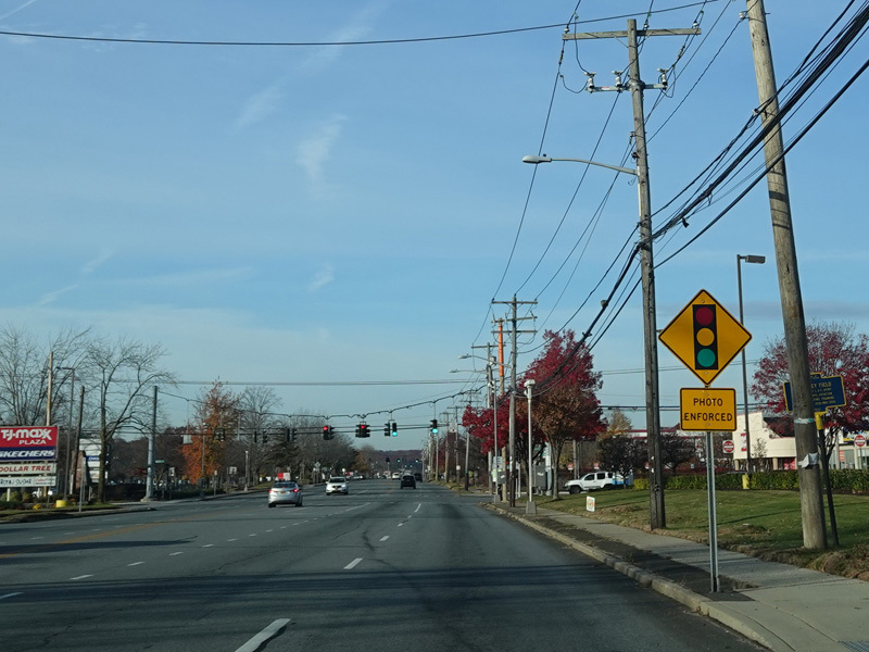
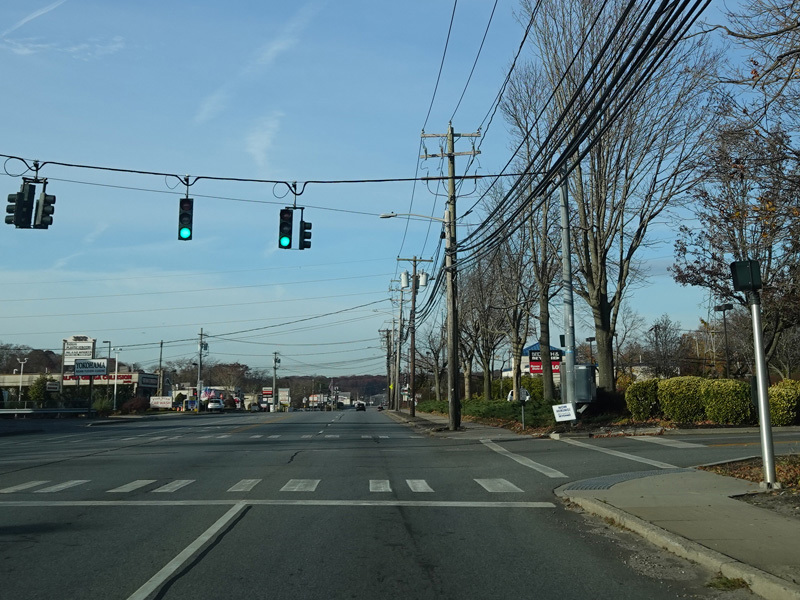
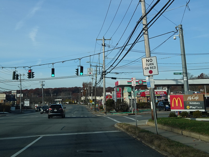
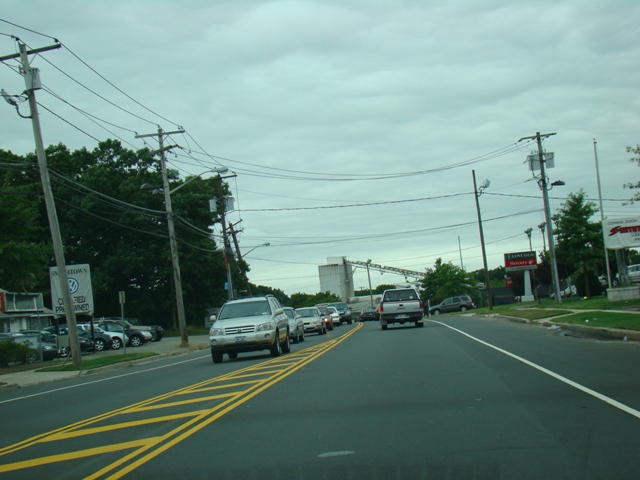
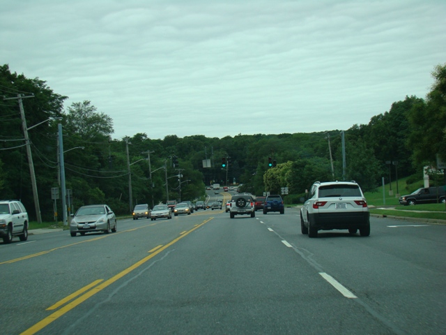
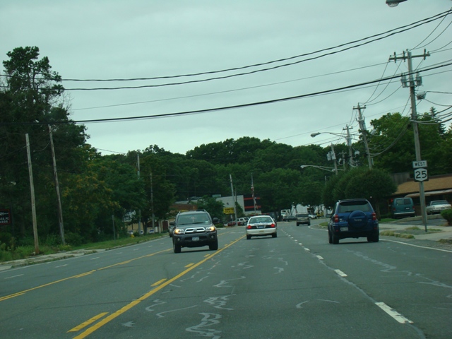
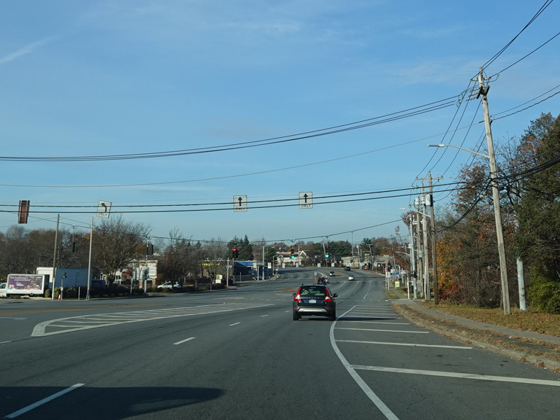
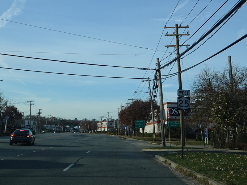
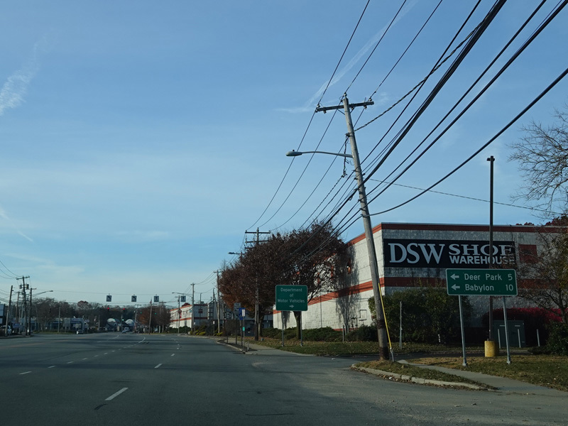
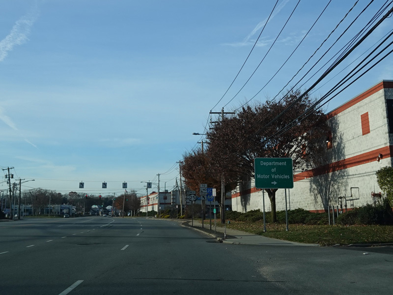
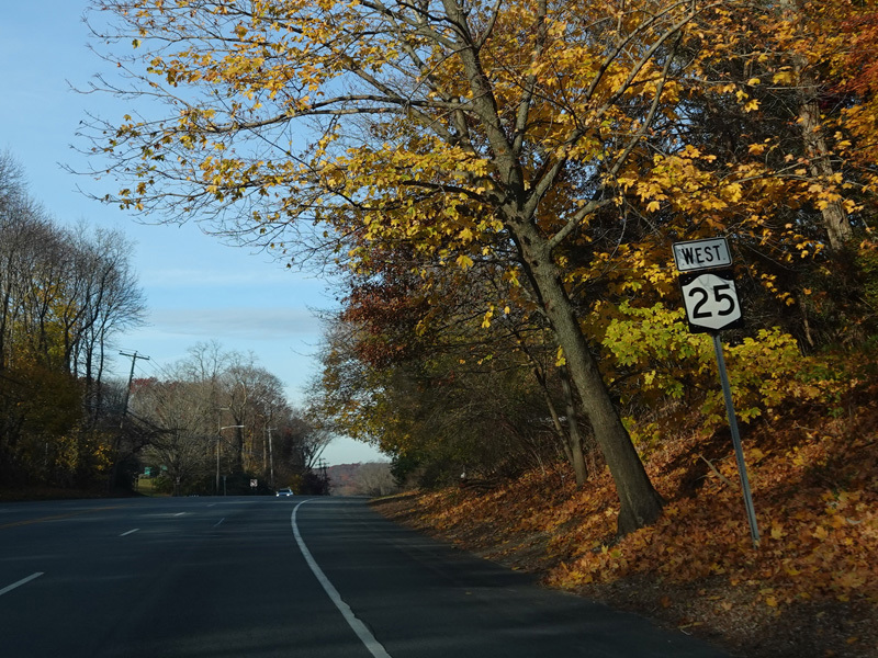
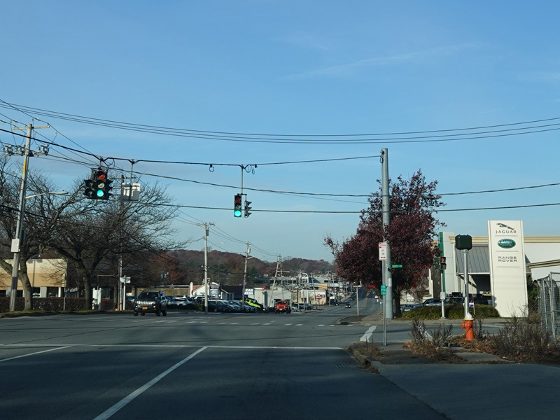
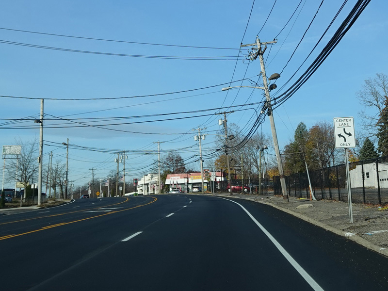
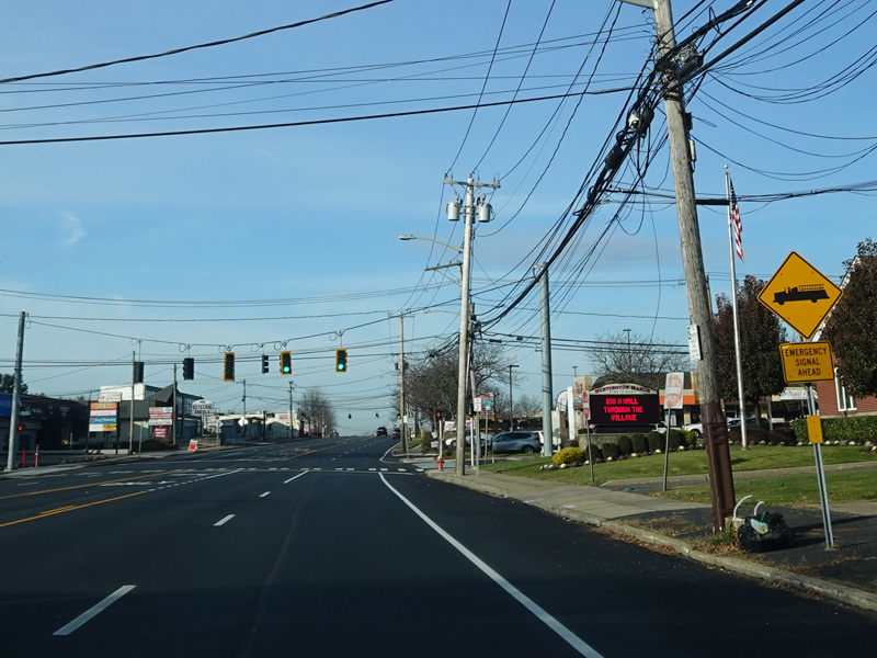
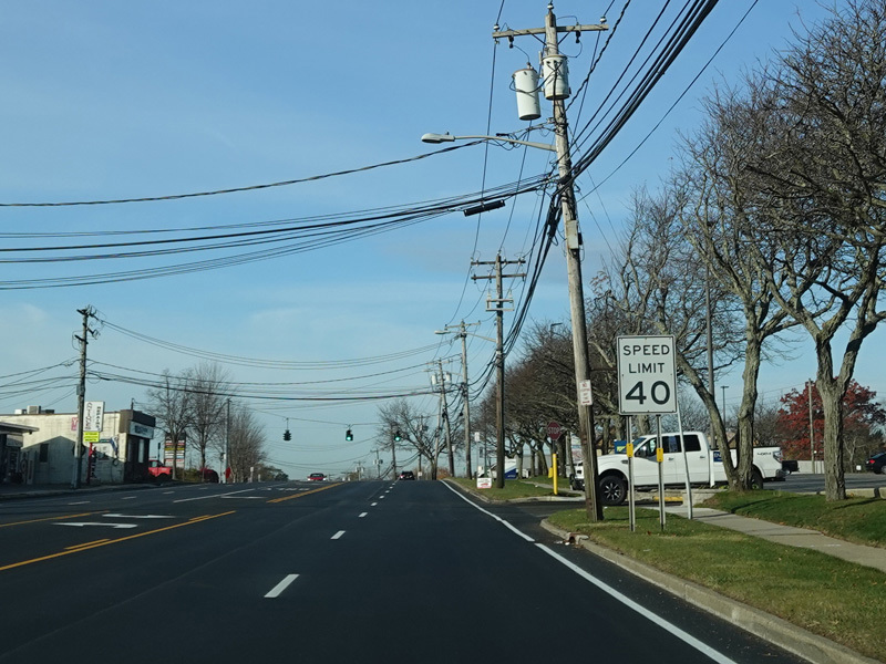
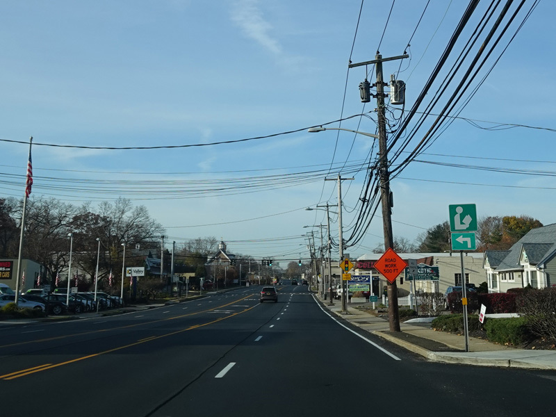
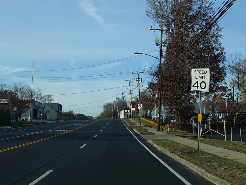
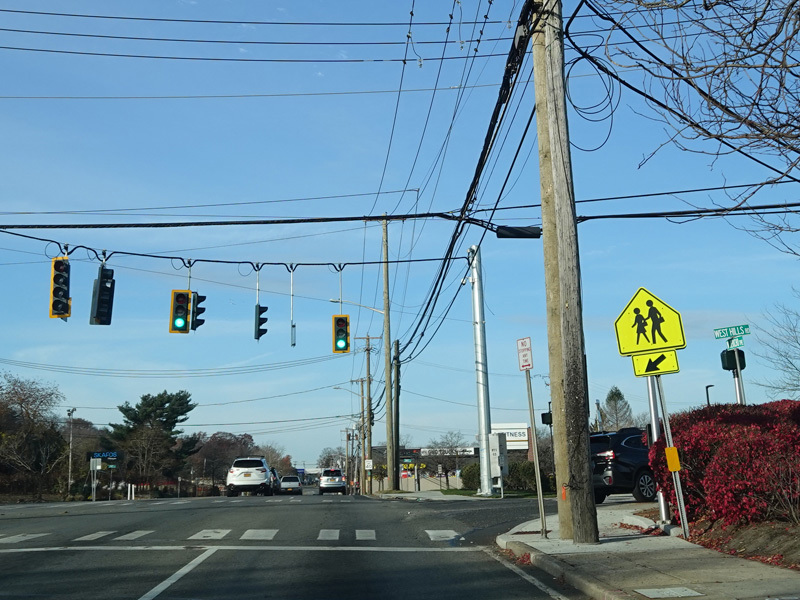
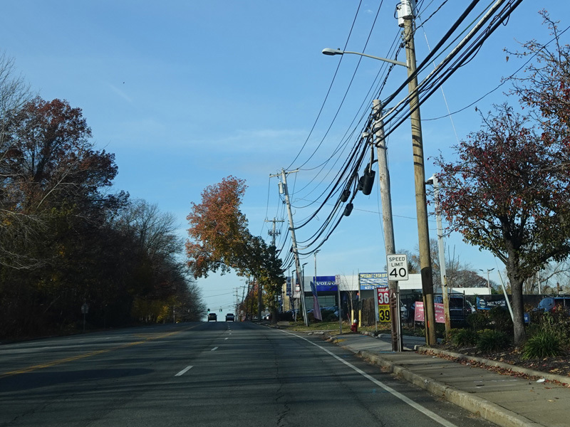
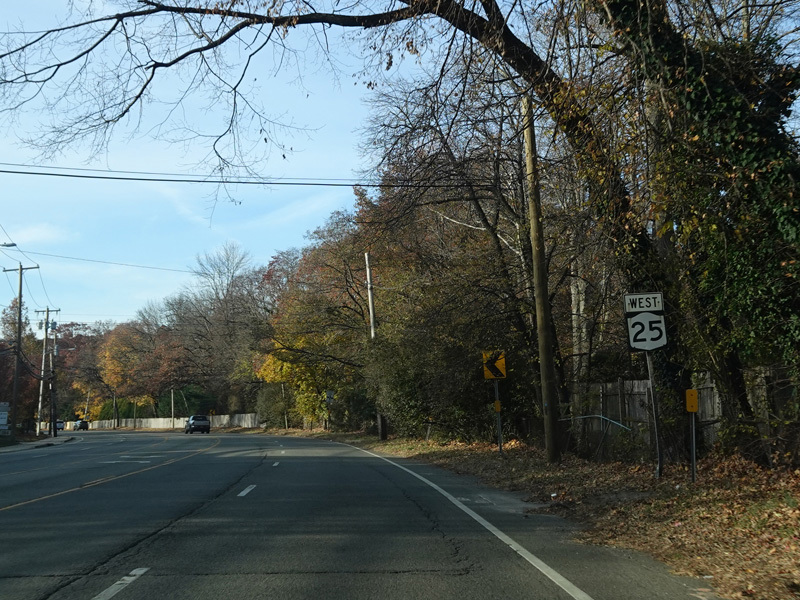
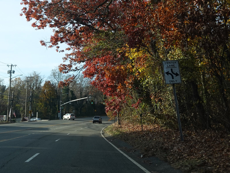
Jericho Turnpike runs west to Dix Hills.
Photos taken November 2021.
Elwood Road (CR 10) begins on the right at a traffic light.
Photos taken November 2021.
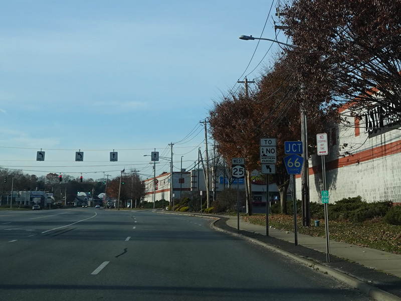
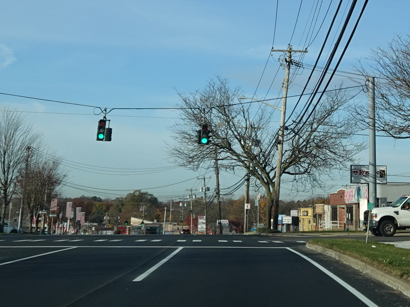
East Deer Park Road (CR 66) on the left at a traffic light.
Photos taken November 2021.
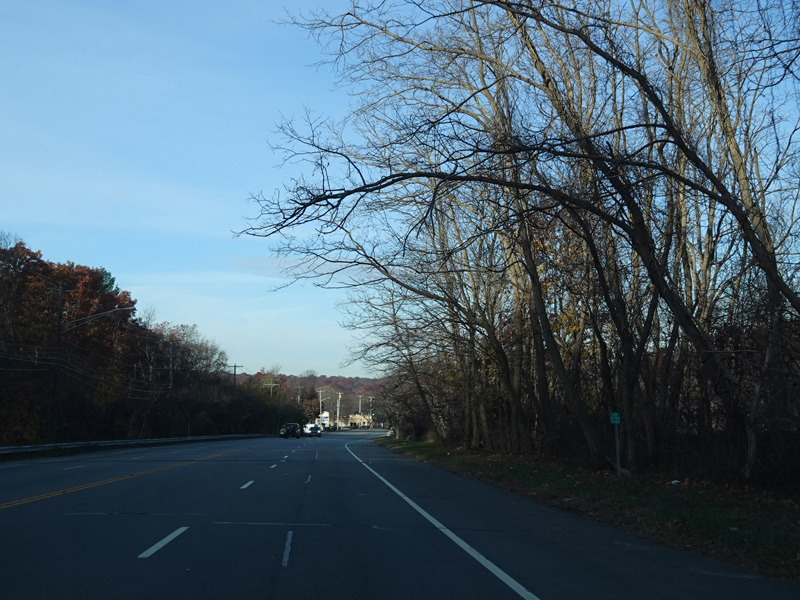
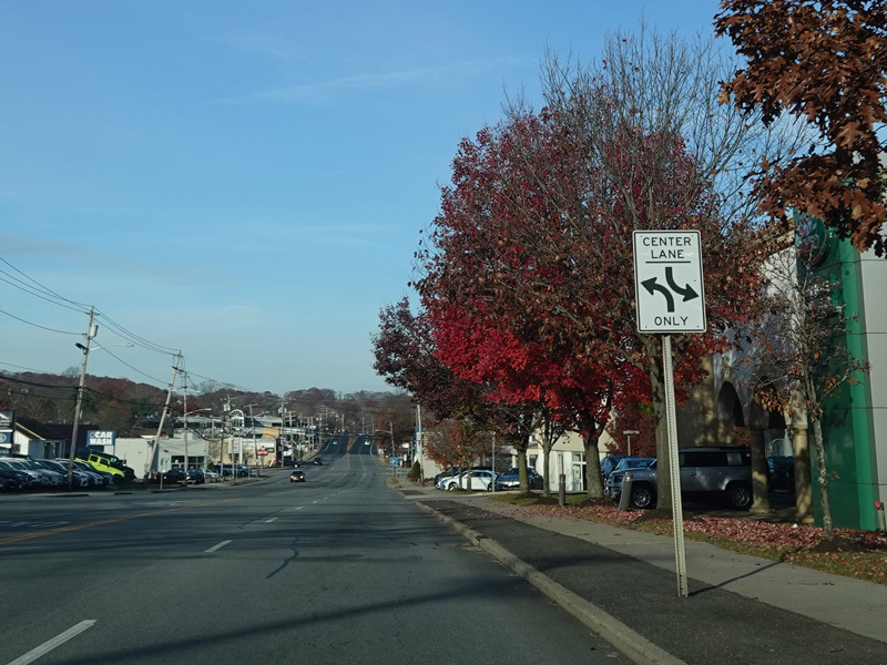
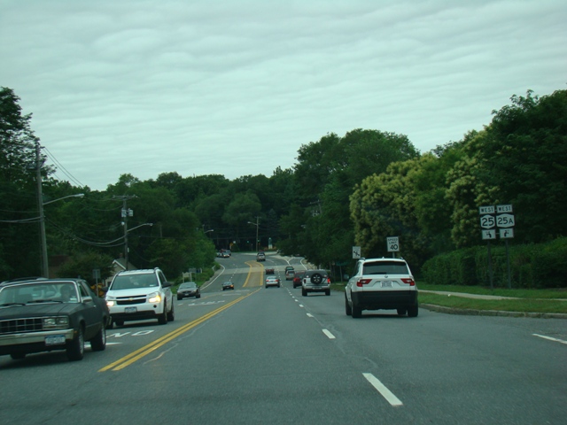
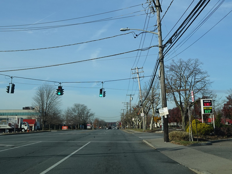
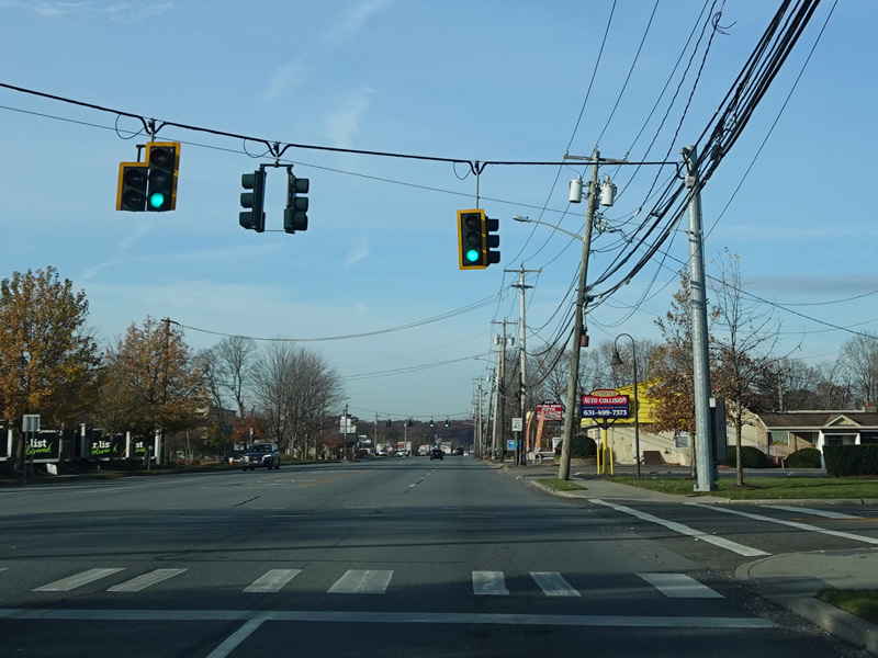
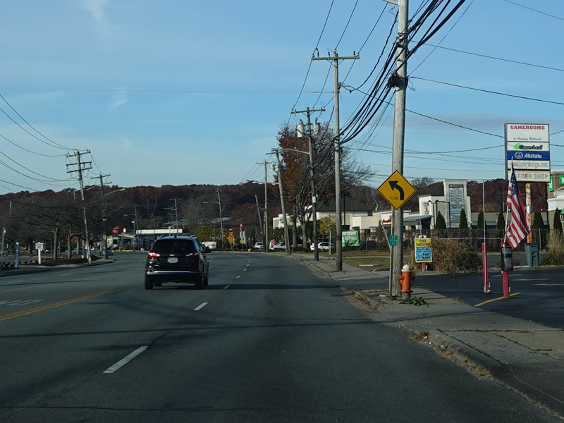
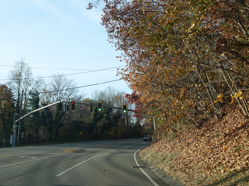
Jericho Turnpike continues to the west.
Photos taken November 2021.
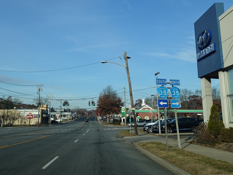
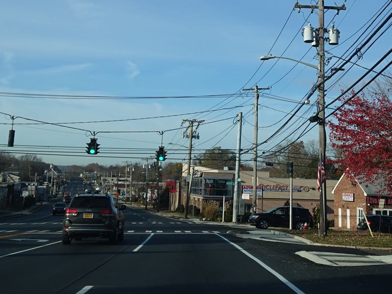
There is a traffic light at CR 35. Turn right onto Park Avenue to go north or left onto Deer Park Road to go south
Photo taken November 2021.
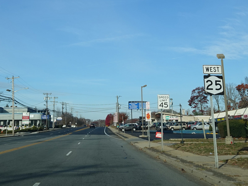
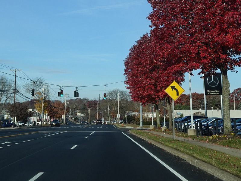
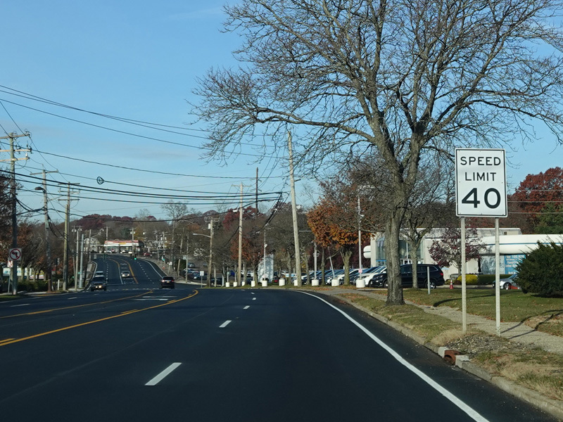
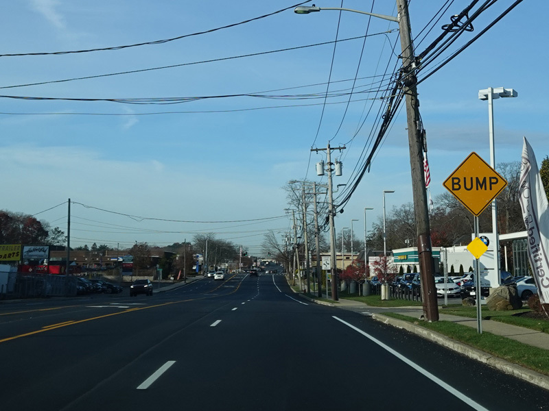
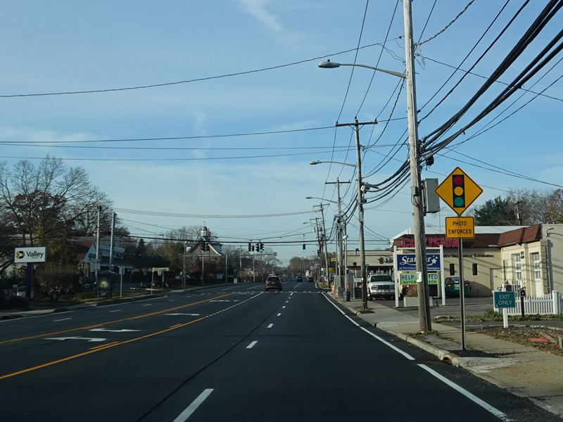

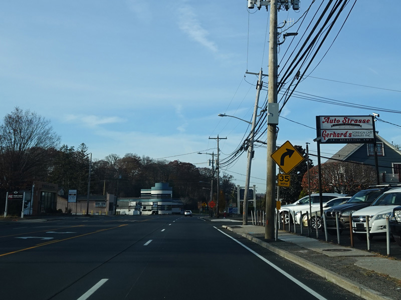
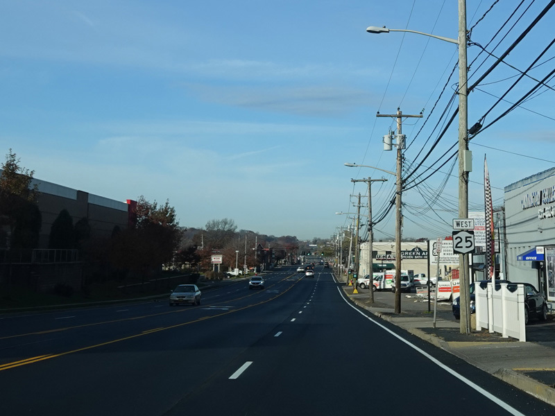
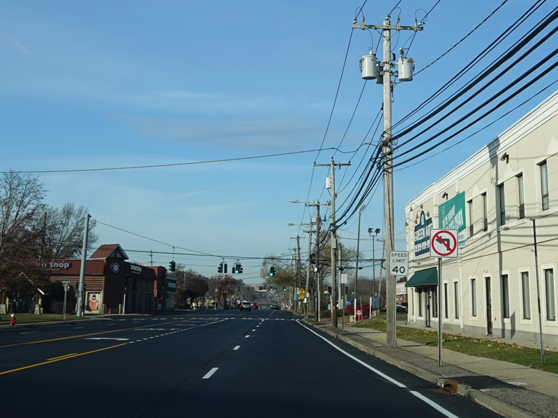
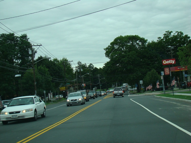
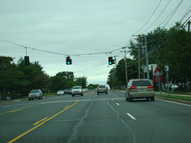
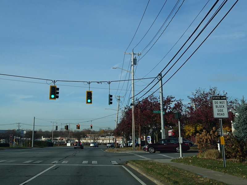
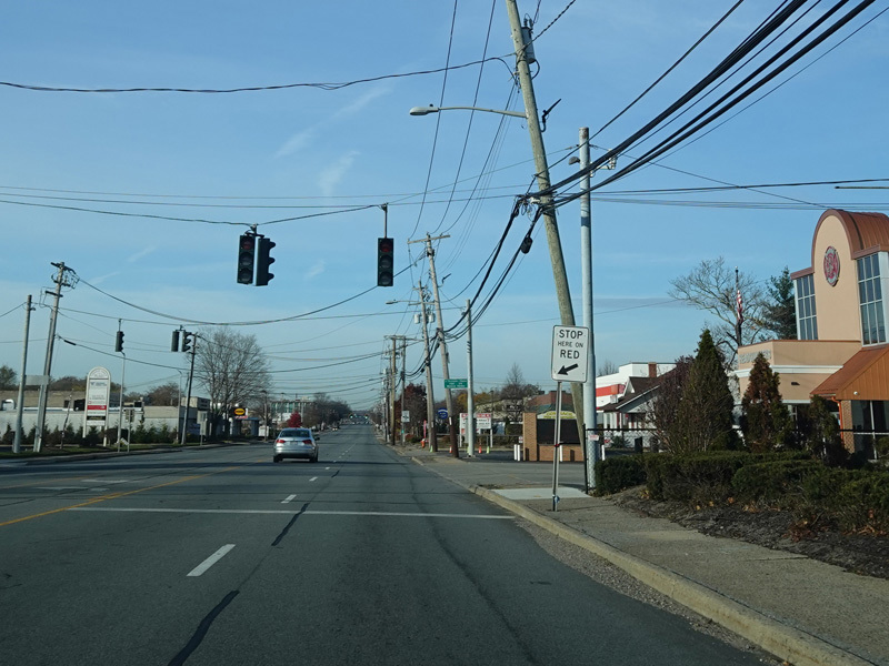
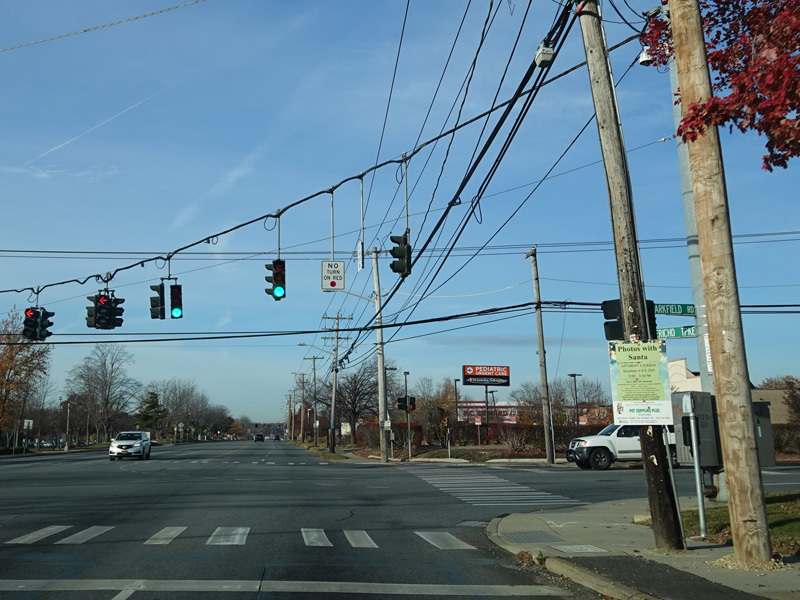
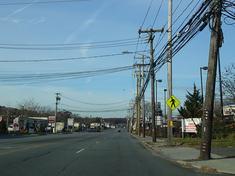
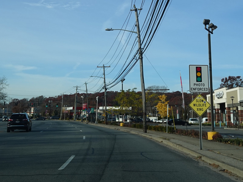
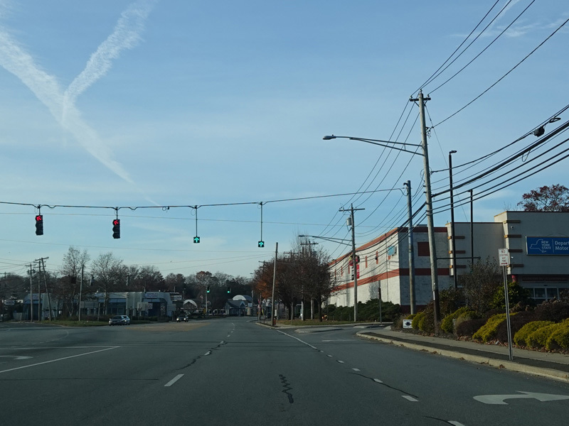
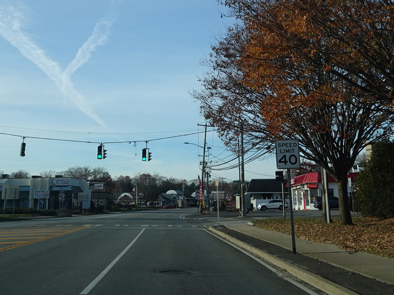
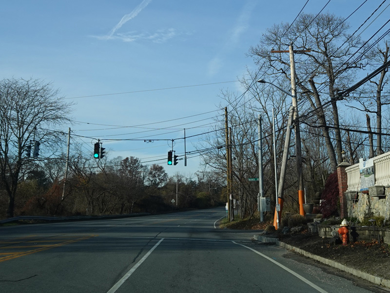
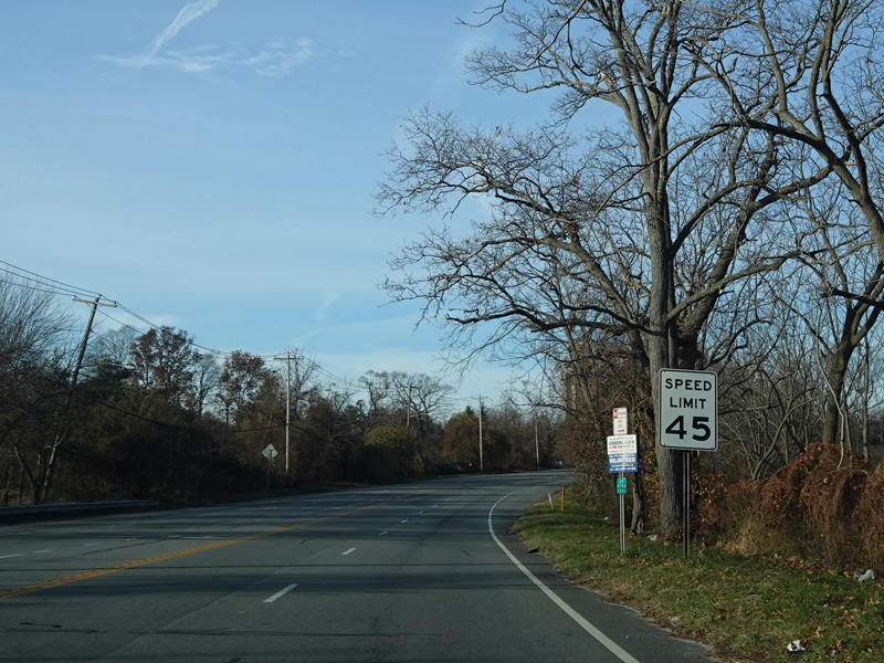
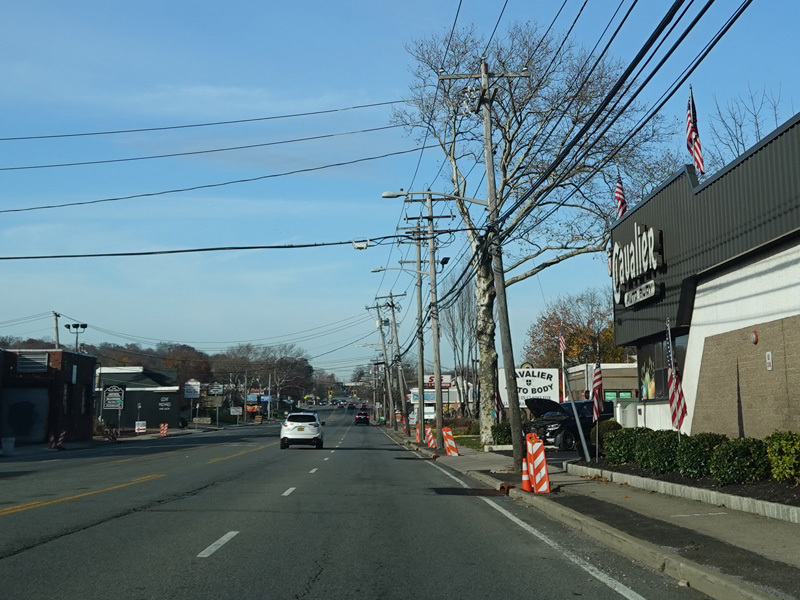
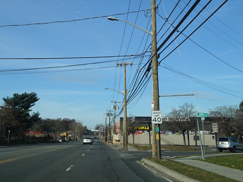
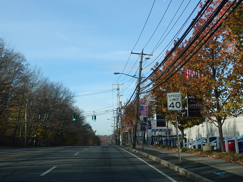
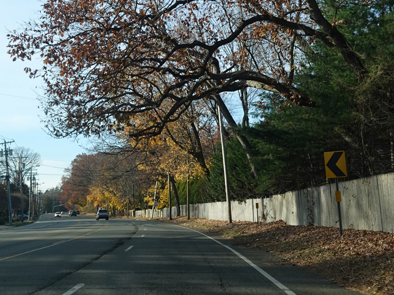
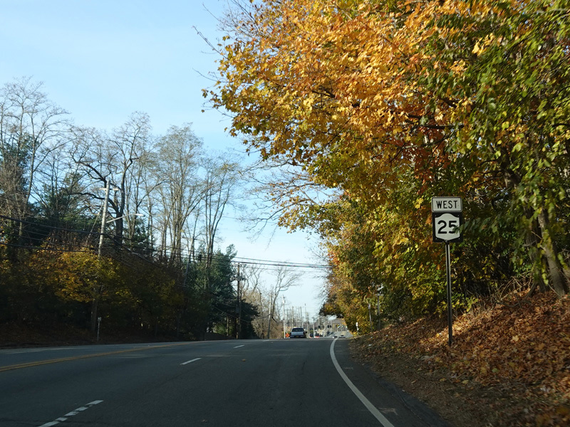
Jericho Turnpike runs west to Huntington Station.
Photos taken November 2021.
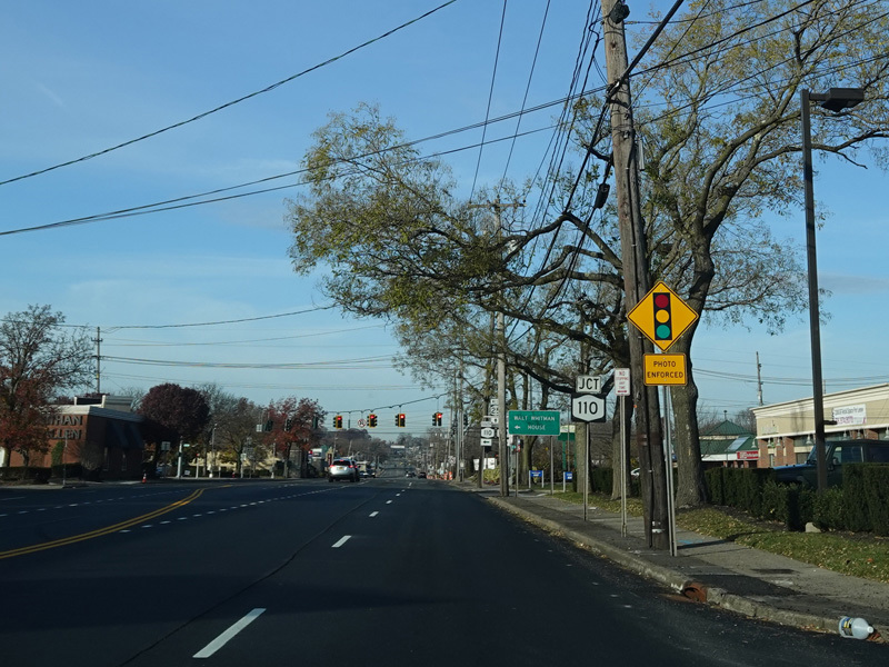
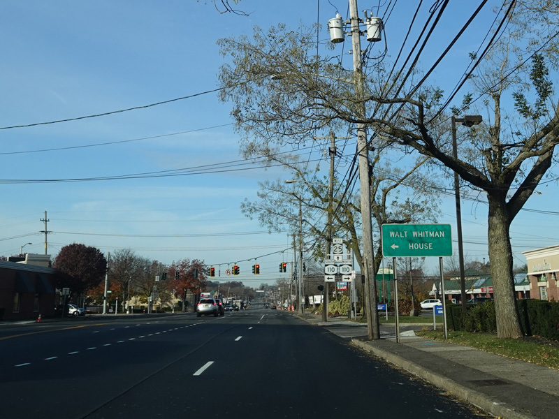
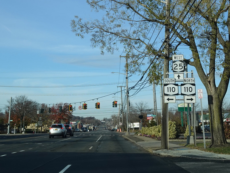
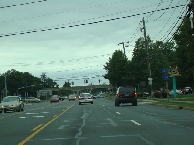
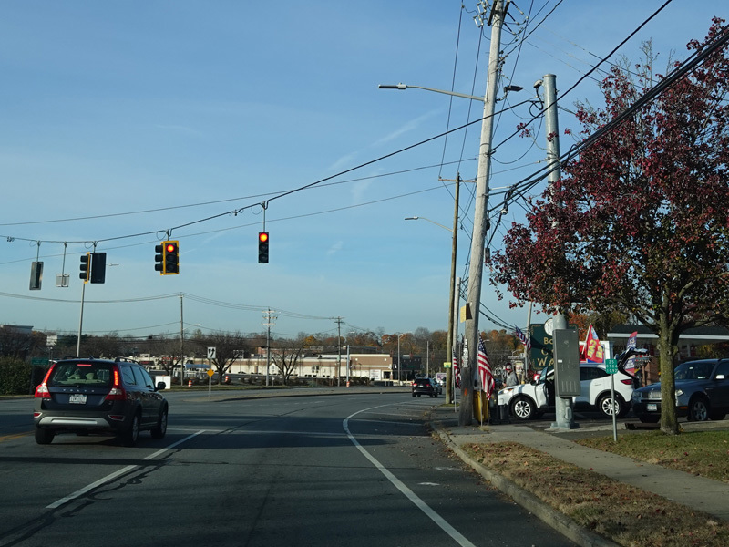
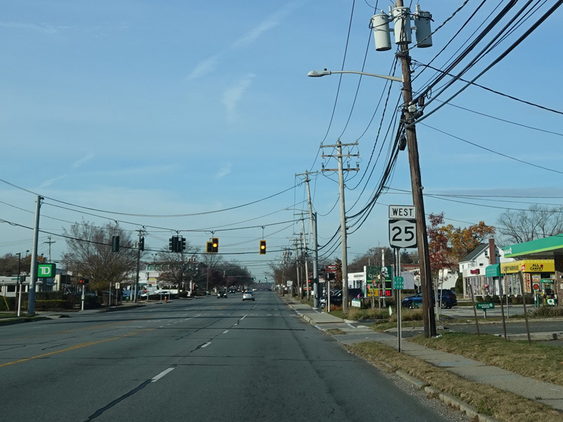
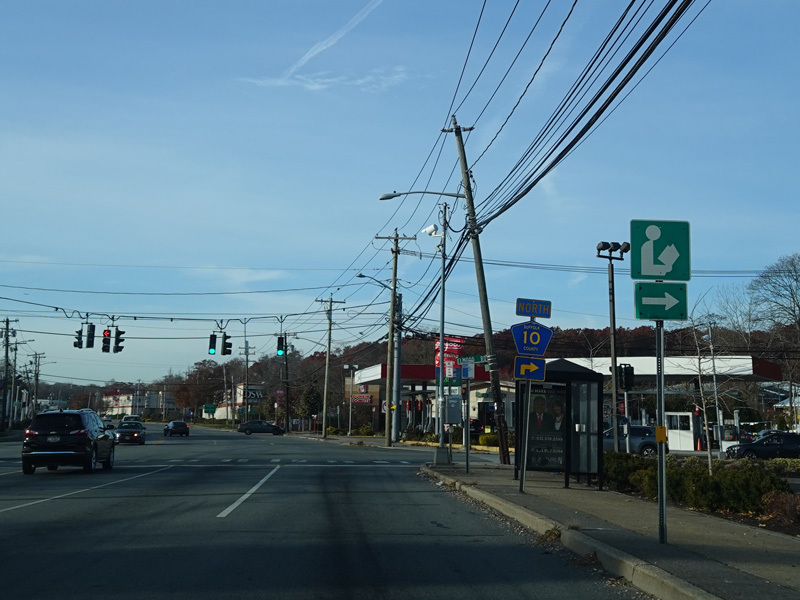
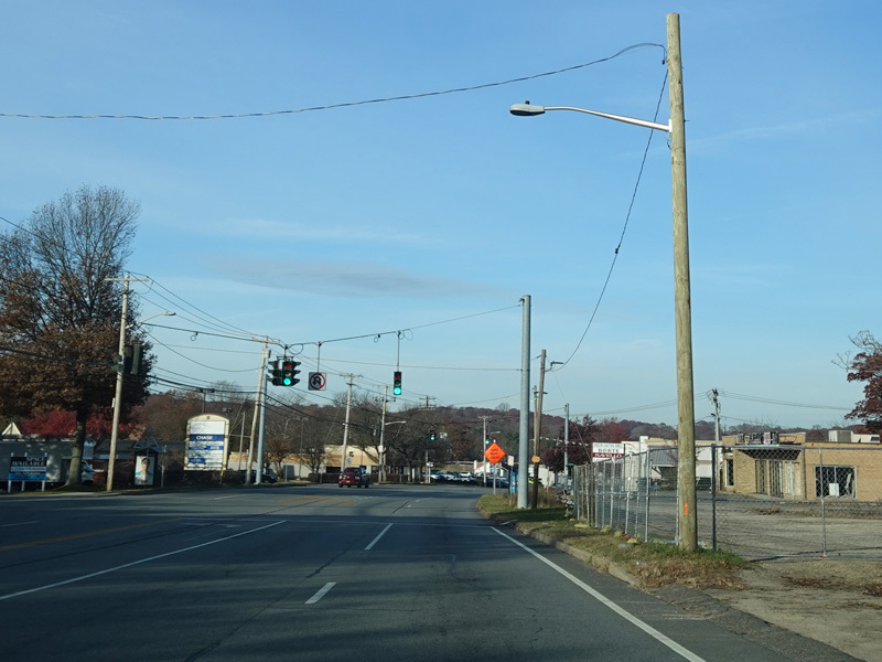
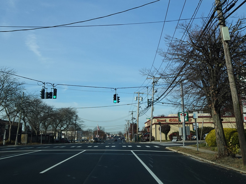
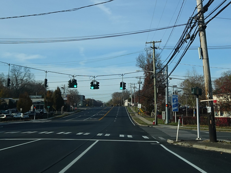
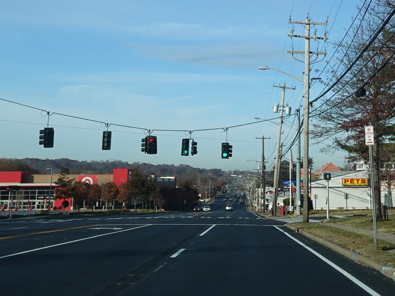
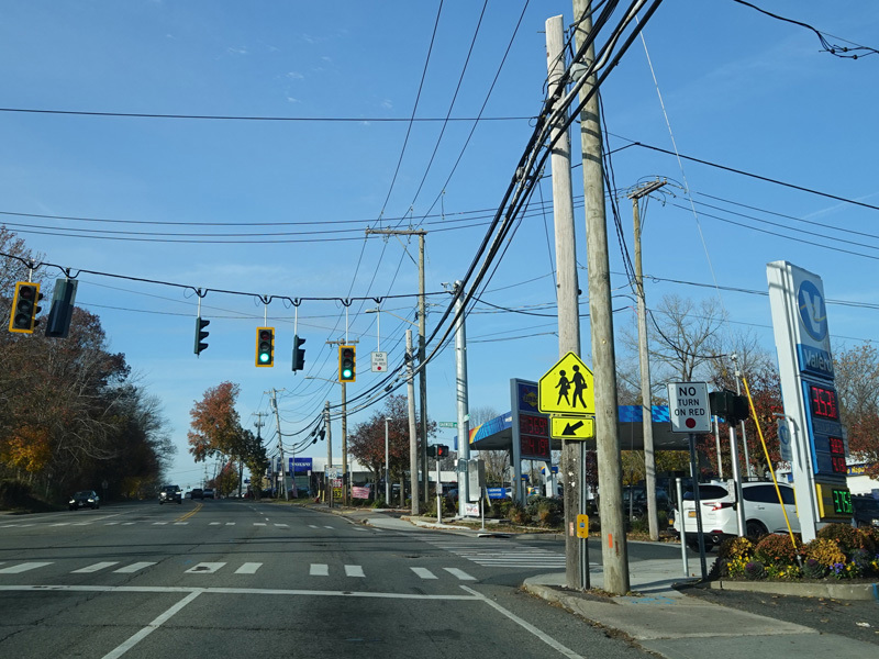
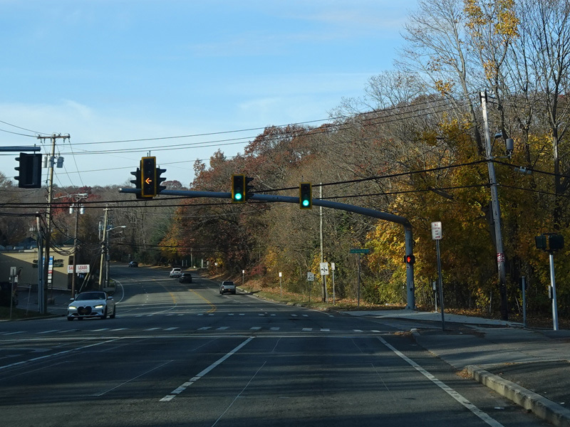
There is a traffic light at Walt Whitman Road (NY 110). Turn right to go north or left to go south.
Photos taken November 2021.
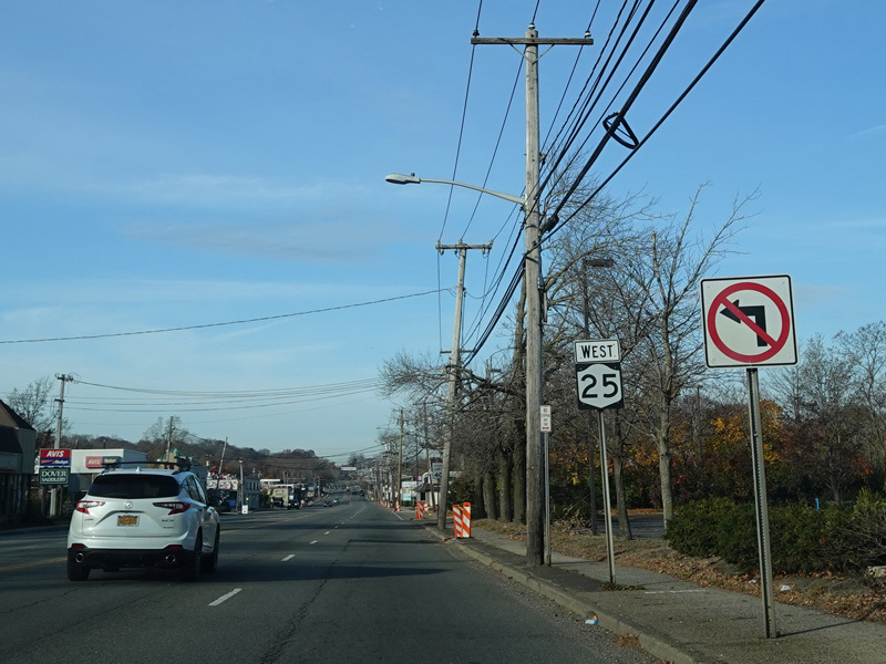
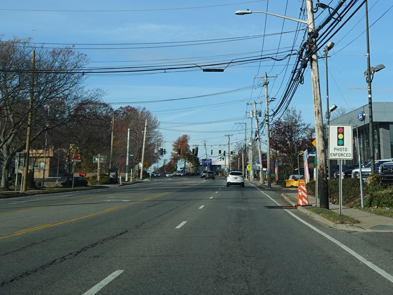
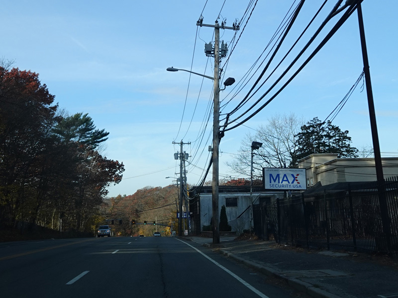
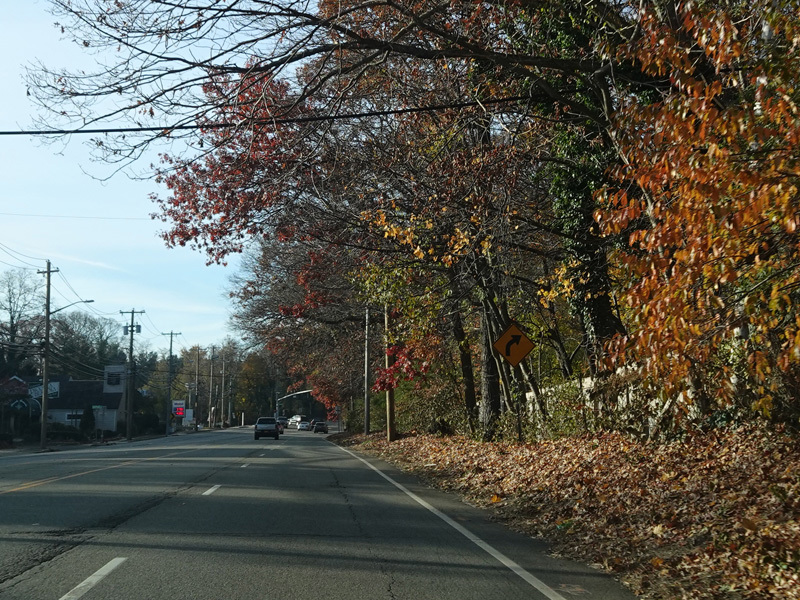
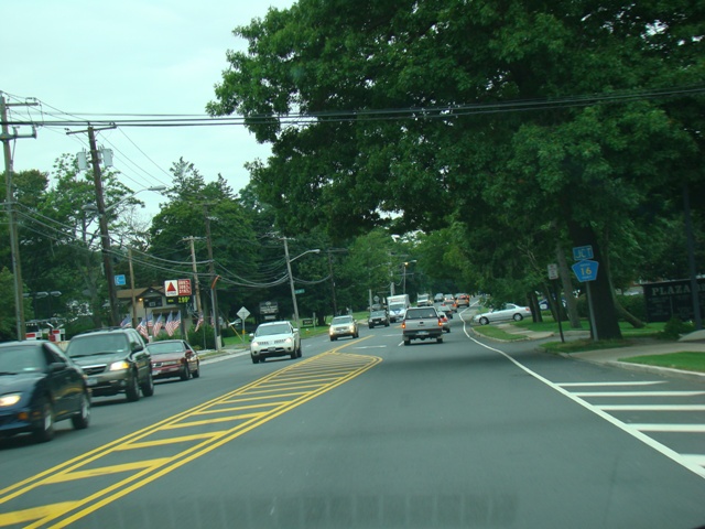
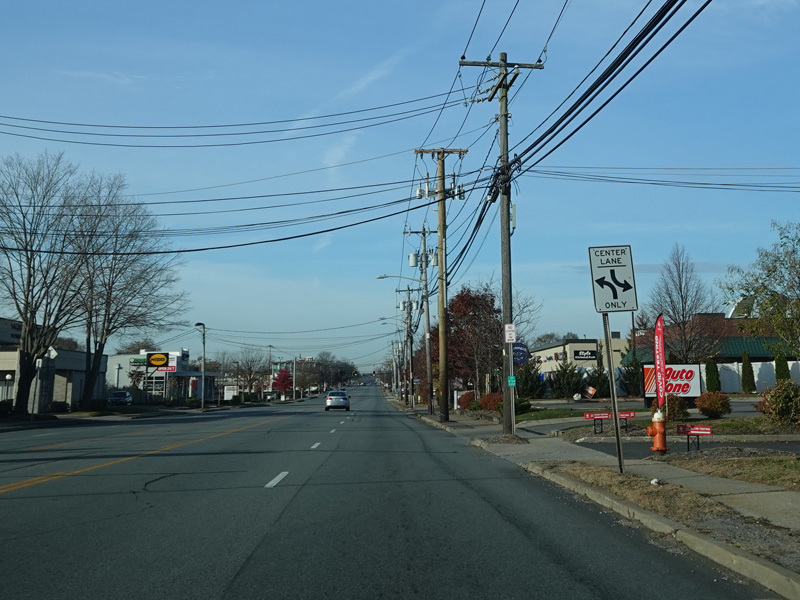
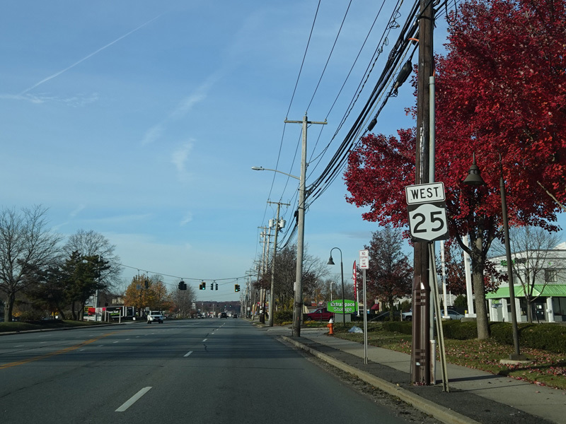
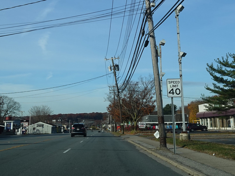
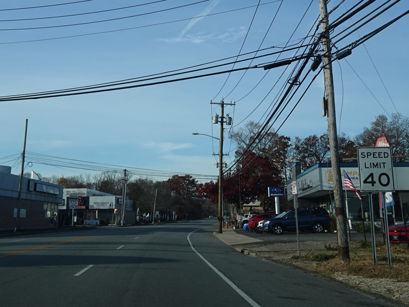
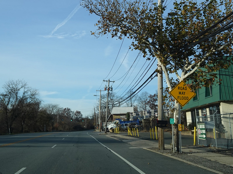
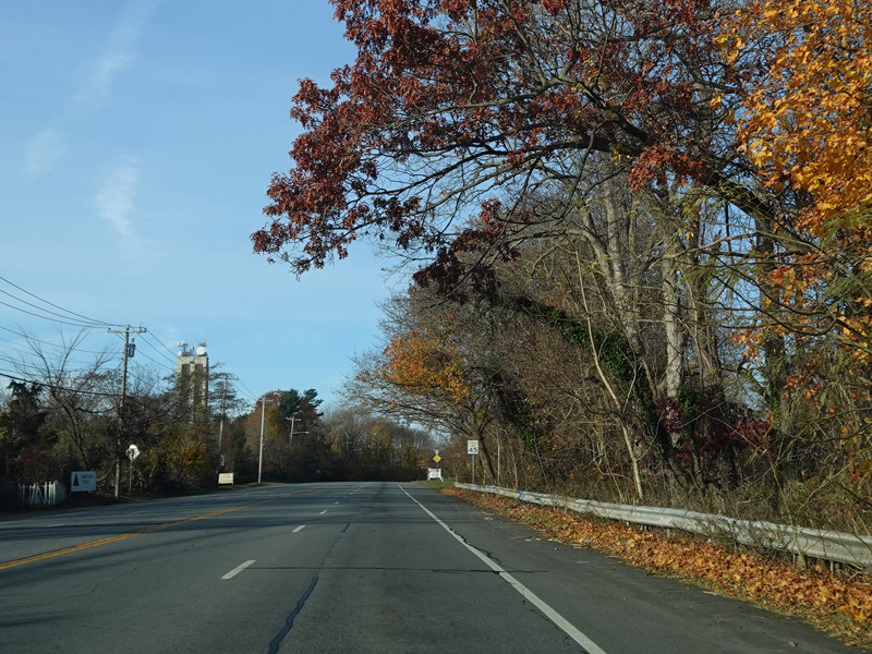
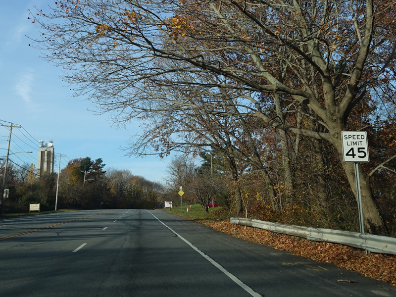
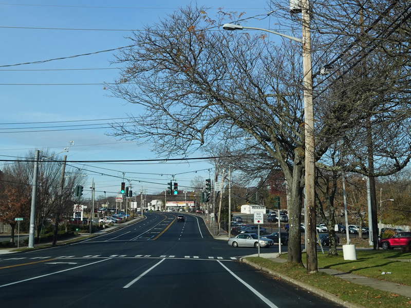
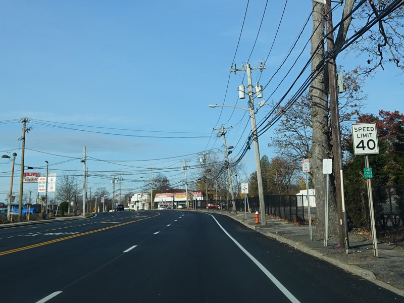
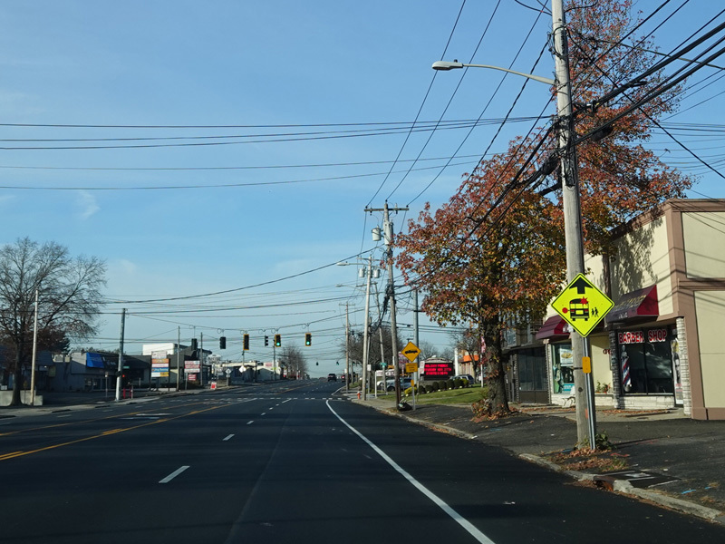
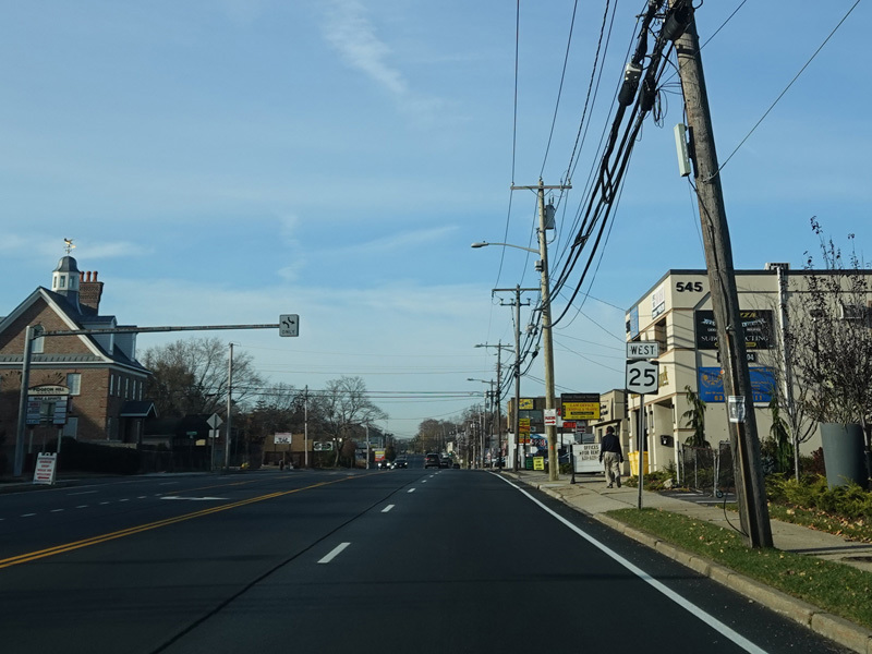
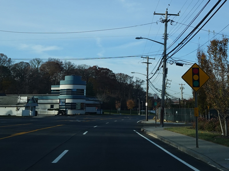
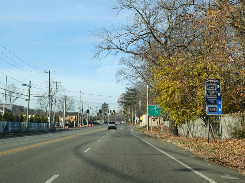
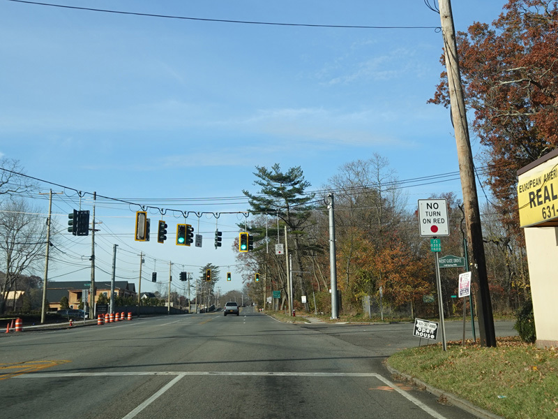
Jericho Turnpike continues through Huntington Station.
Photos taken November 2021.
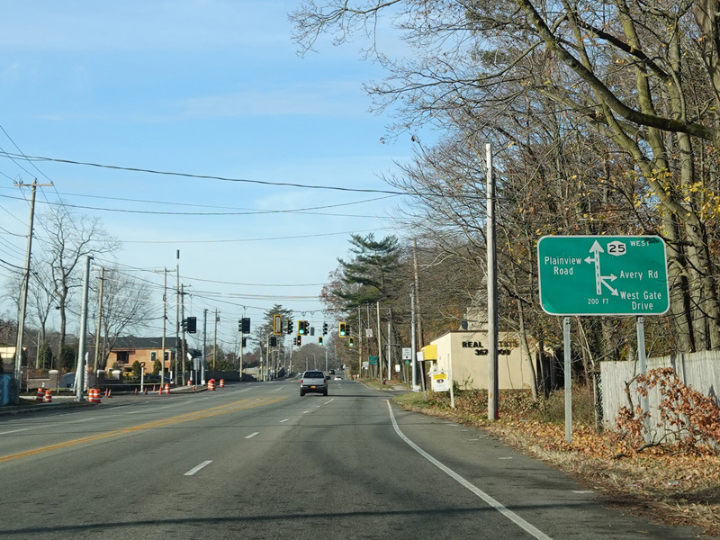
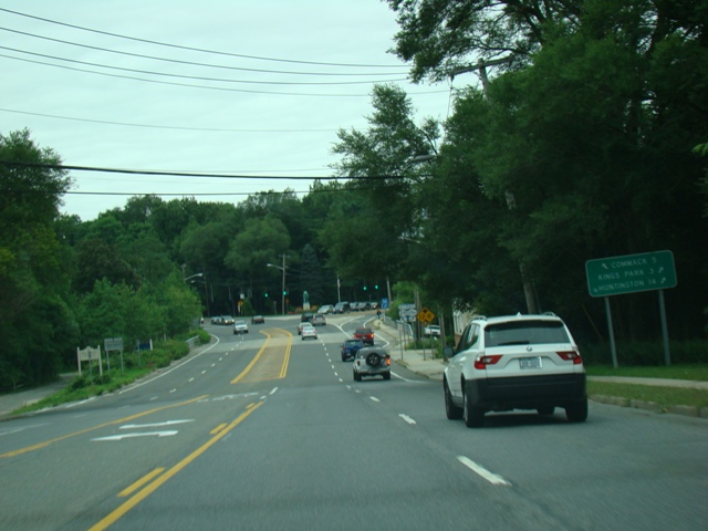
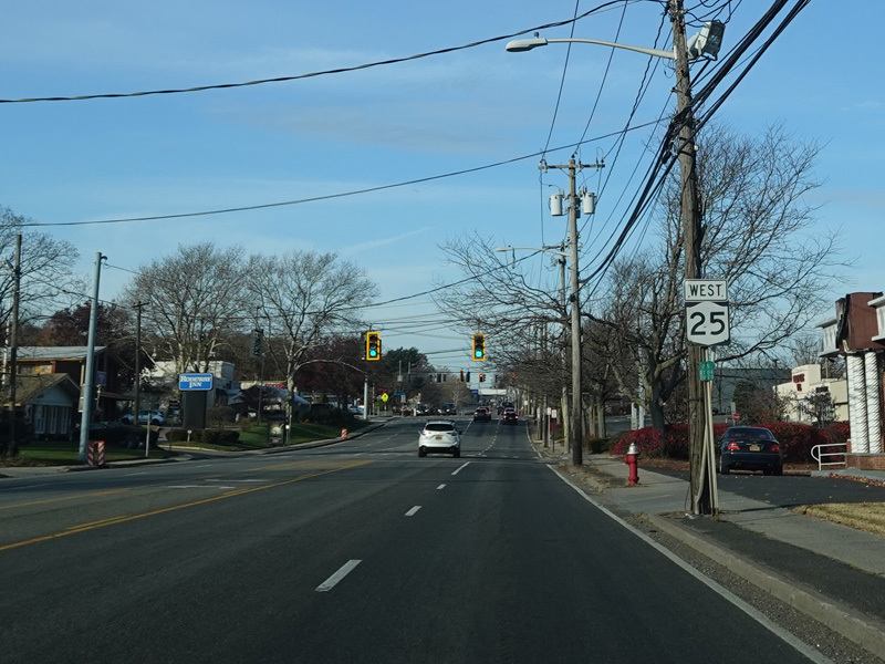
A green sign marks the intersection with Plainview Road, Avery Road, and West Gate Drive at the Nassau-Suffolk county line.
Photos taken November 2021.