Montauk Highway, West Main Street
Eastbound Views
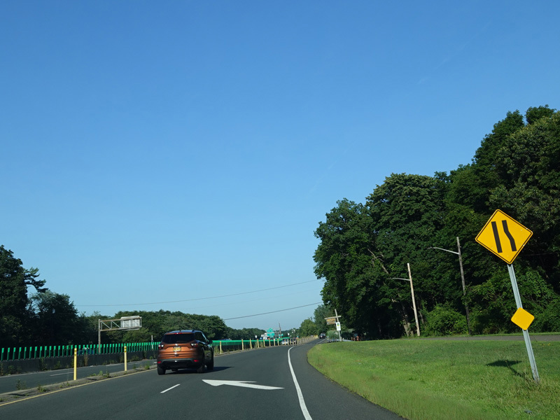
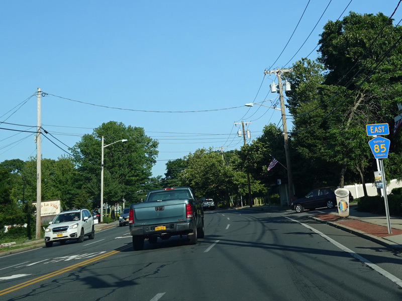
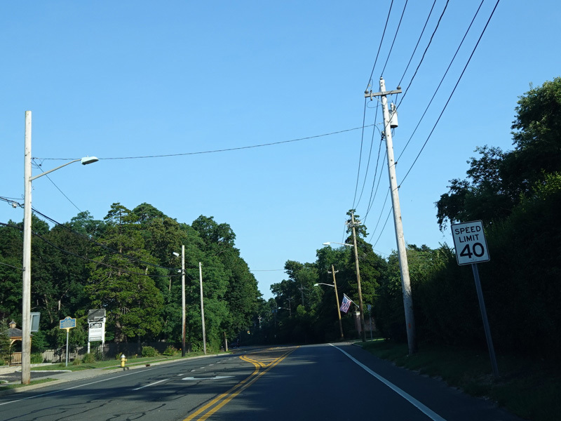
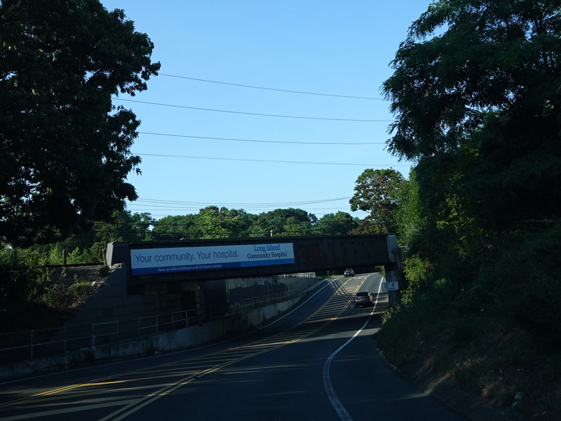
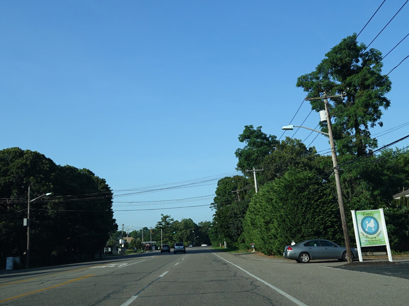
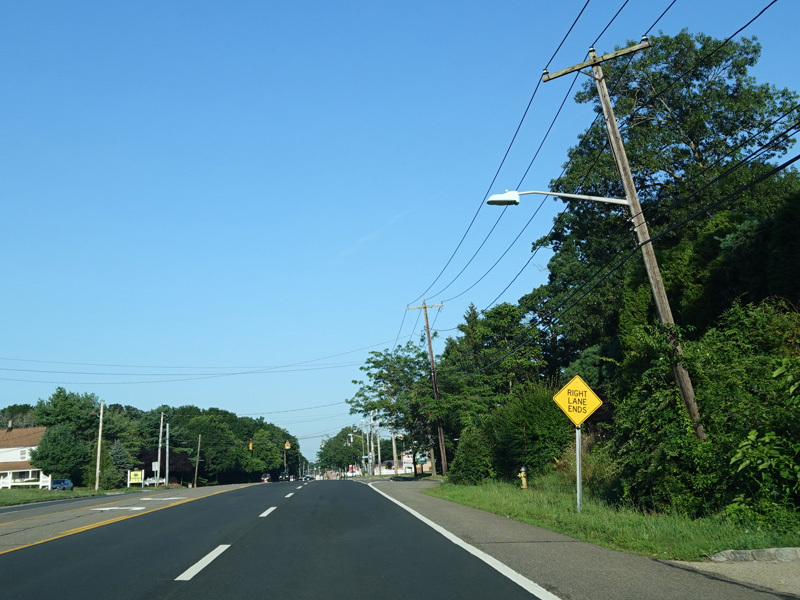
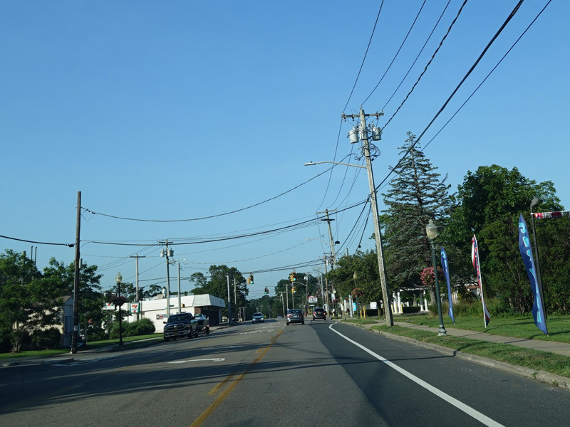
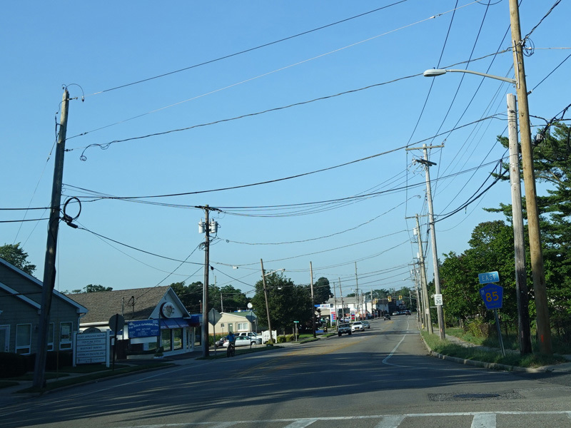
Montauk Highway changes designation from NY 27A to CR 85 at exit 46A of Sunrise Highway (NY 27). At first, it is a two-lane divided road.
Photos taken July 2020.
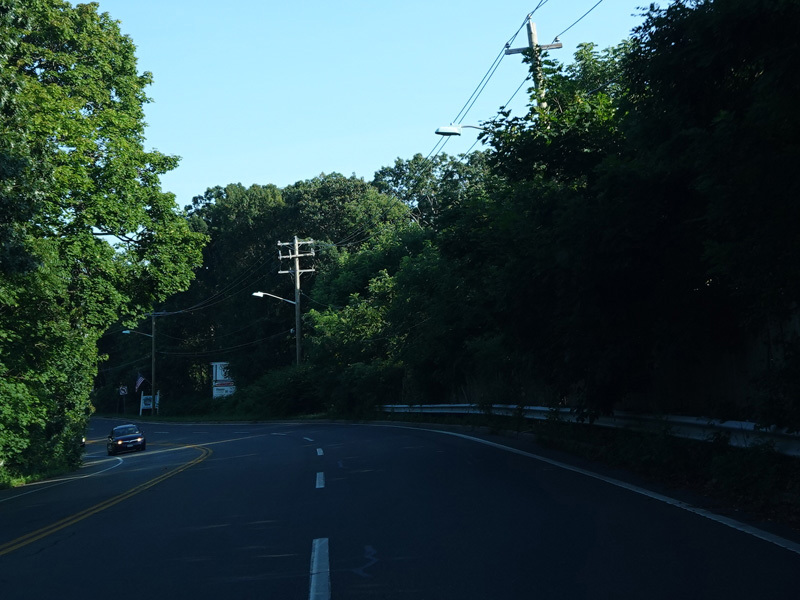

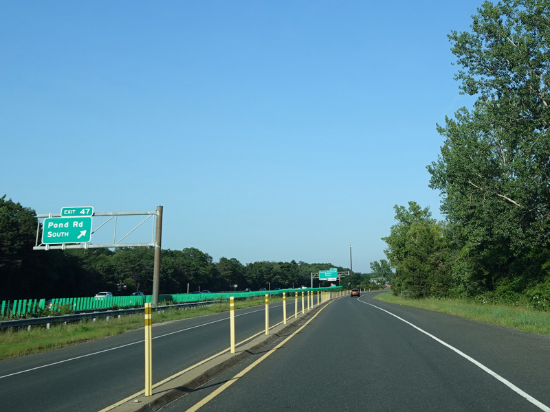
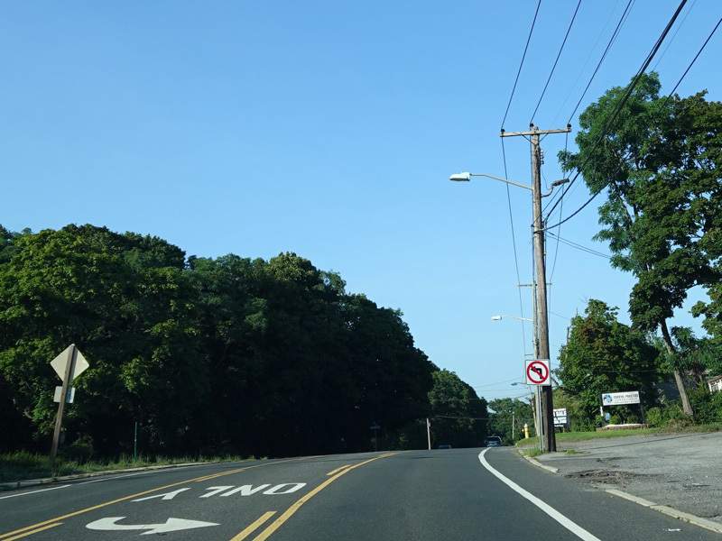
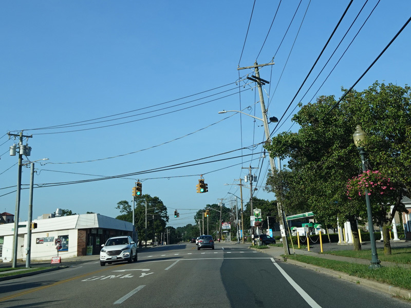
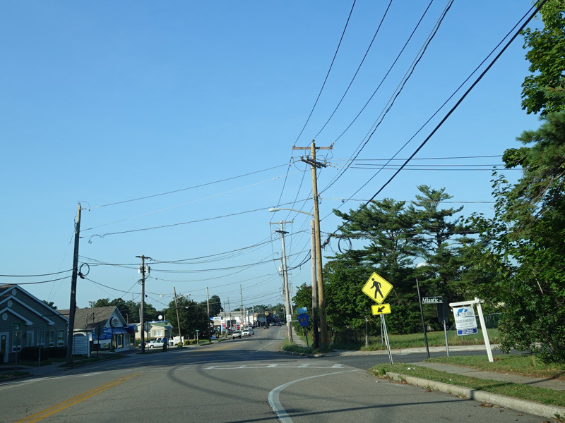
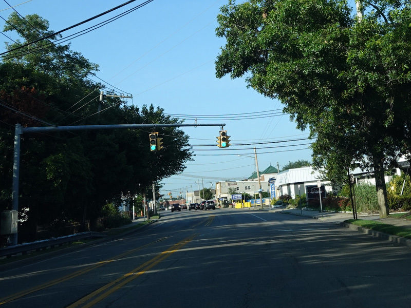
The divider ends. Montauk Highway leaves Sunrise Highway (NY 27), curving to the southeast.
Photos taken July 2020.
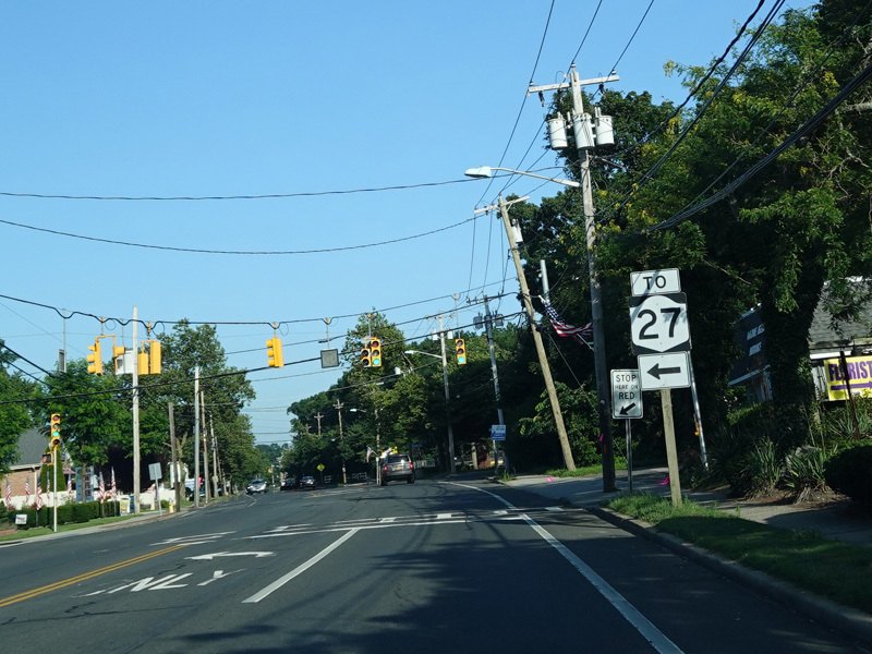
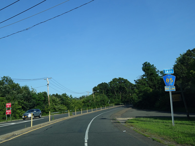
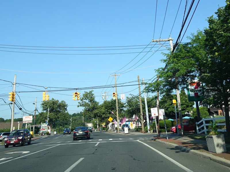
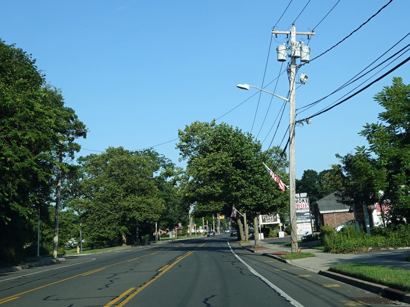
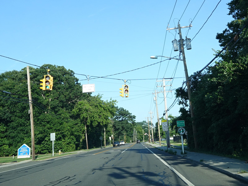
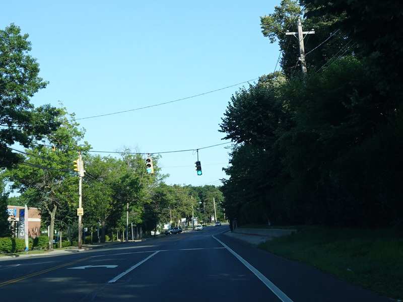
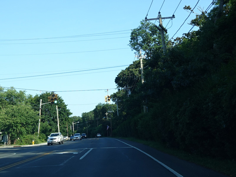
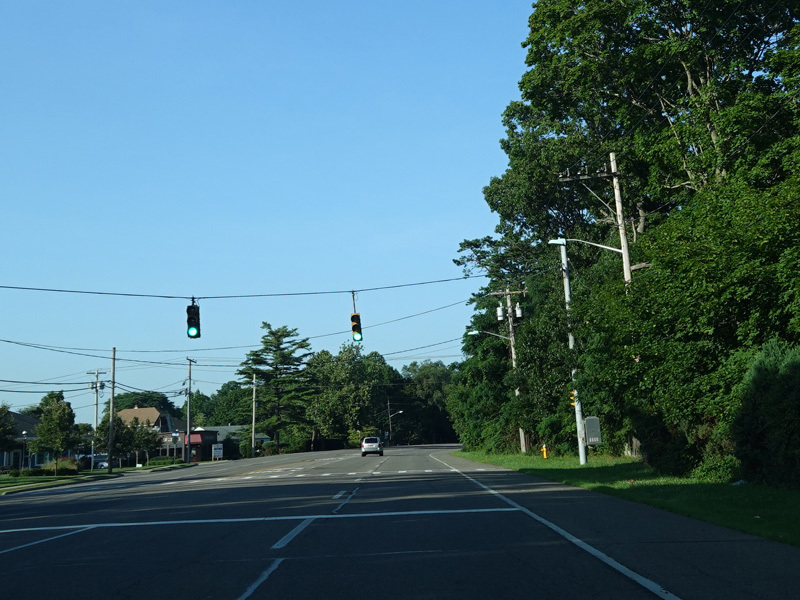
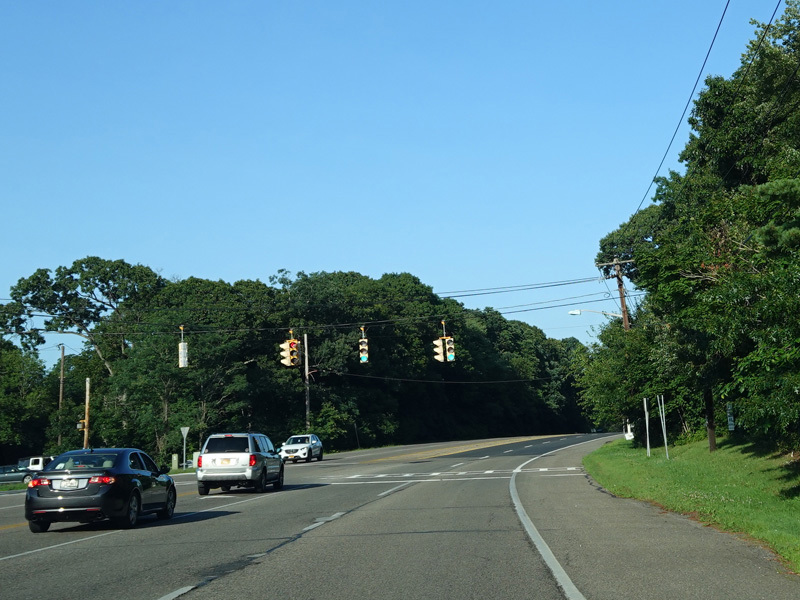
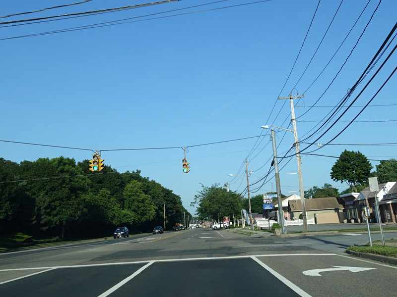
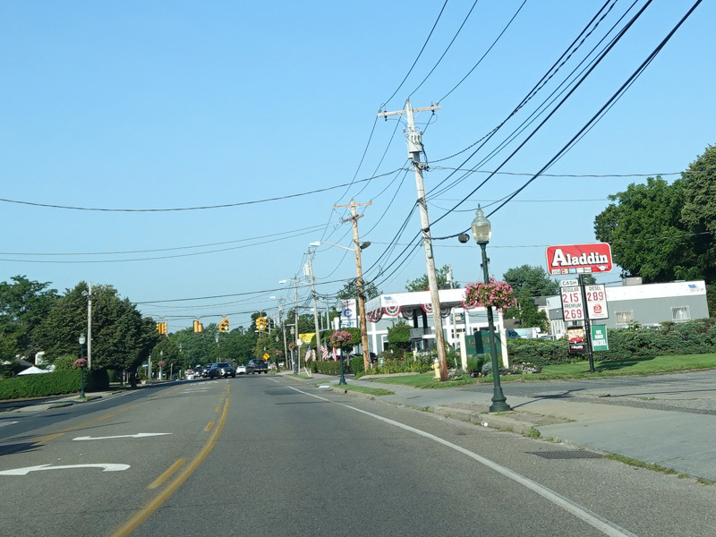
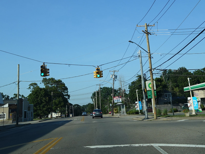
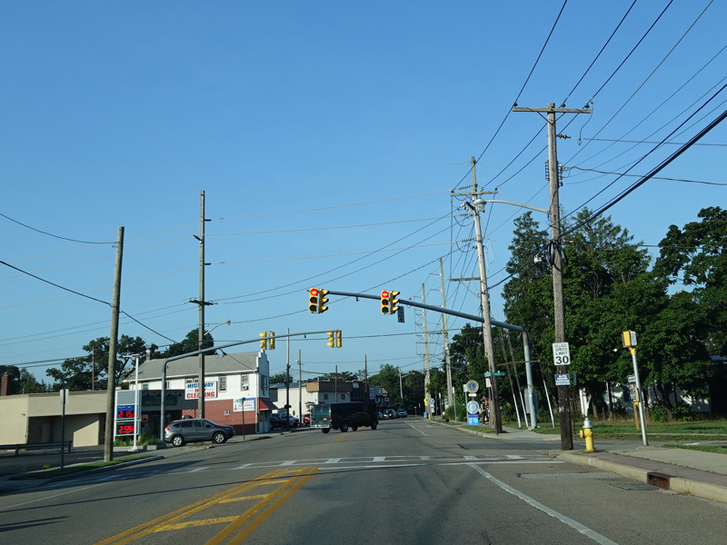
There is a traffic light at Oakdale-Bohemia Road. Turn left here for access to Sunrise Highway (NY 27).
Photo taken July 2020.
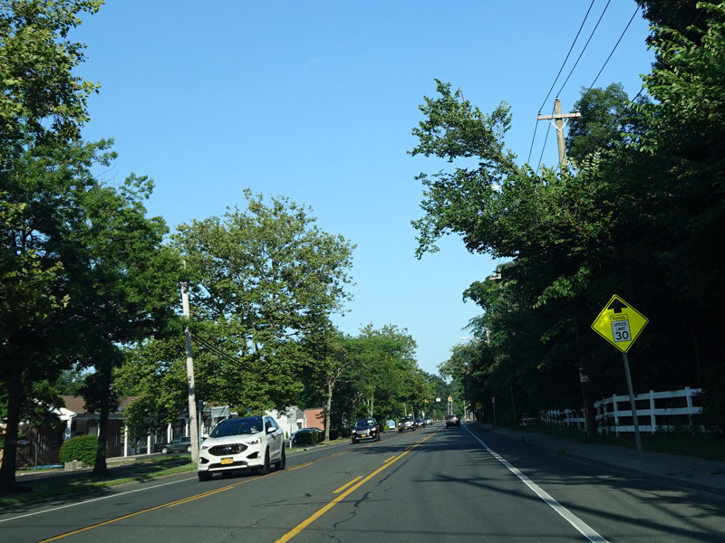
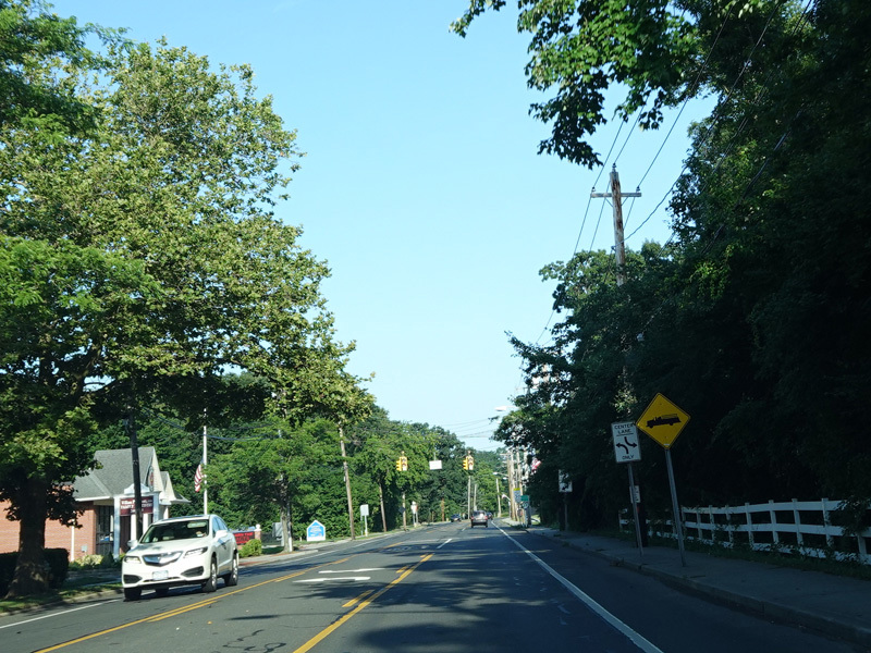
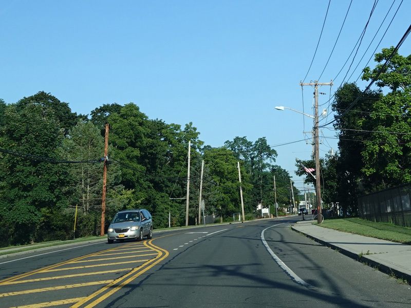
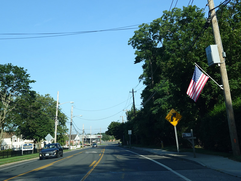
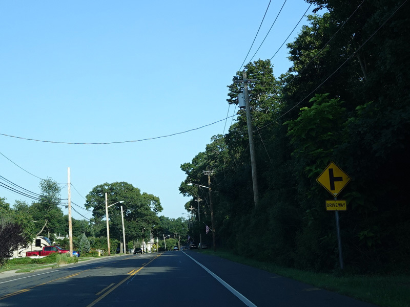
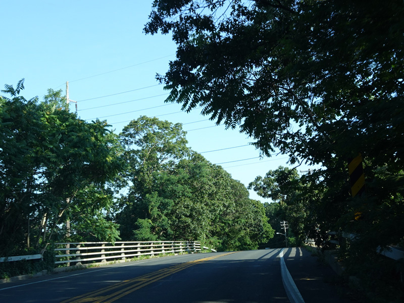
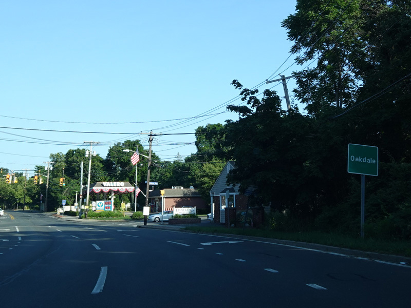
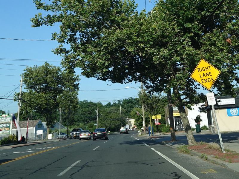
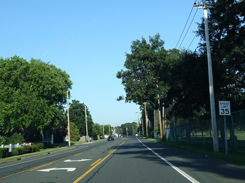
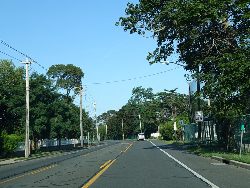
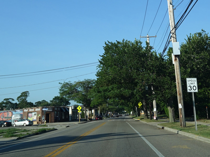
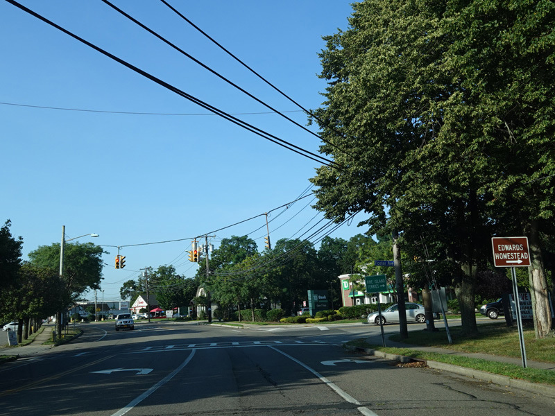
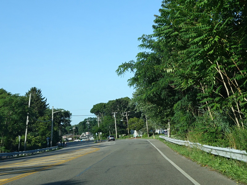
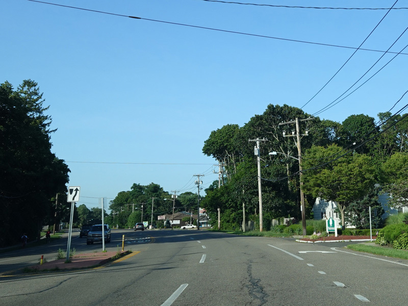
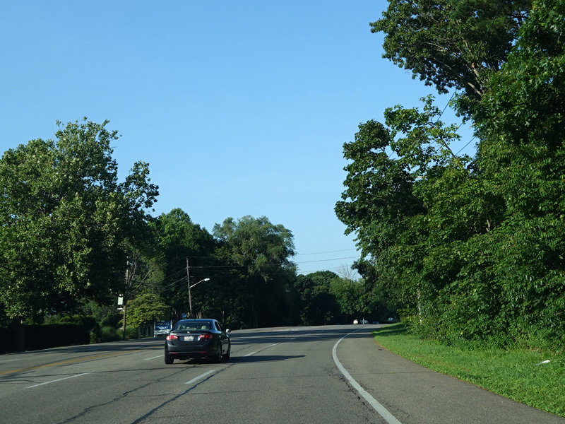
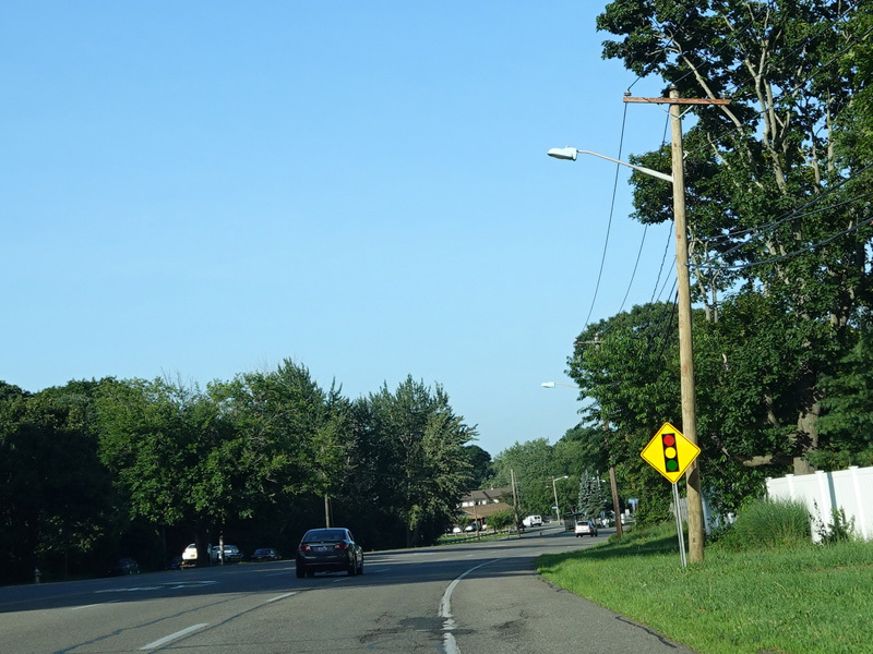
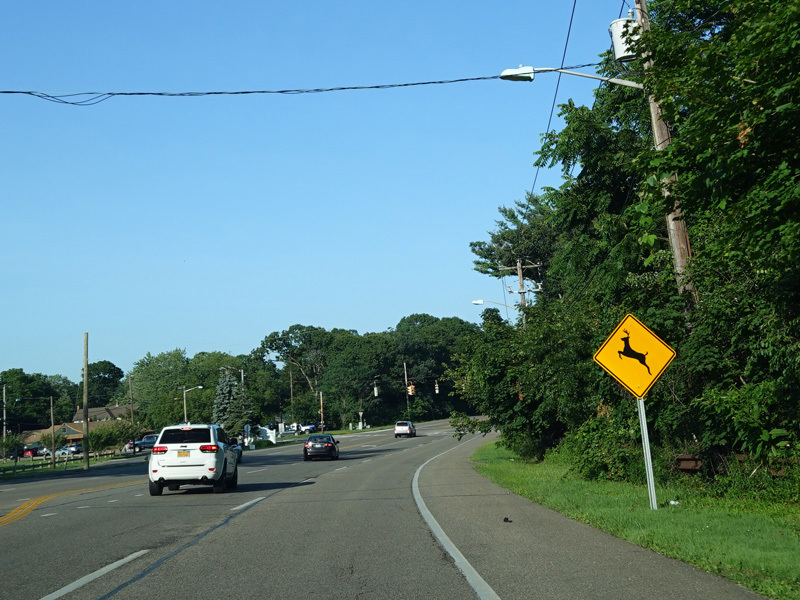
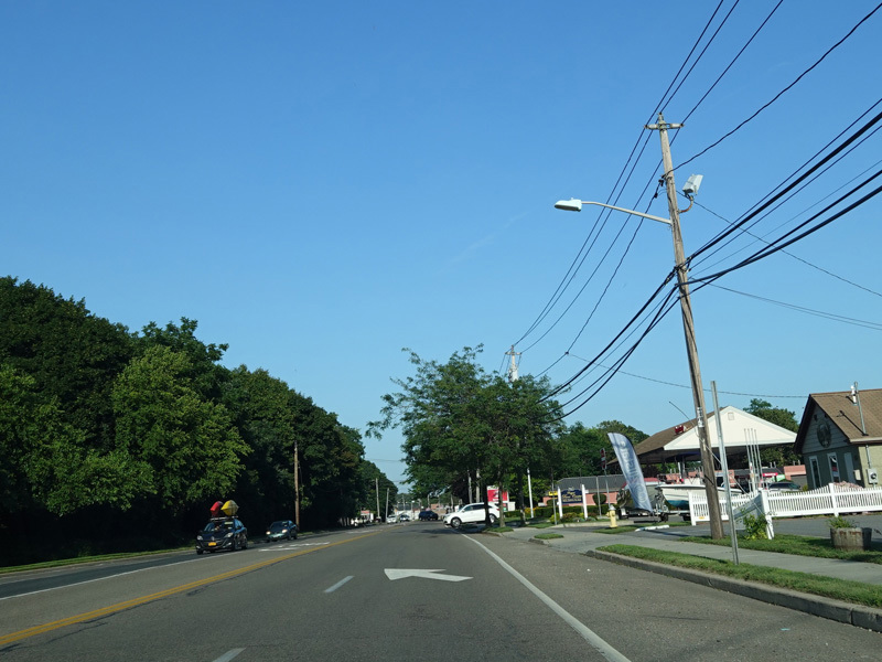
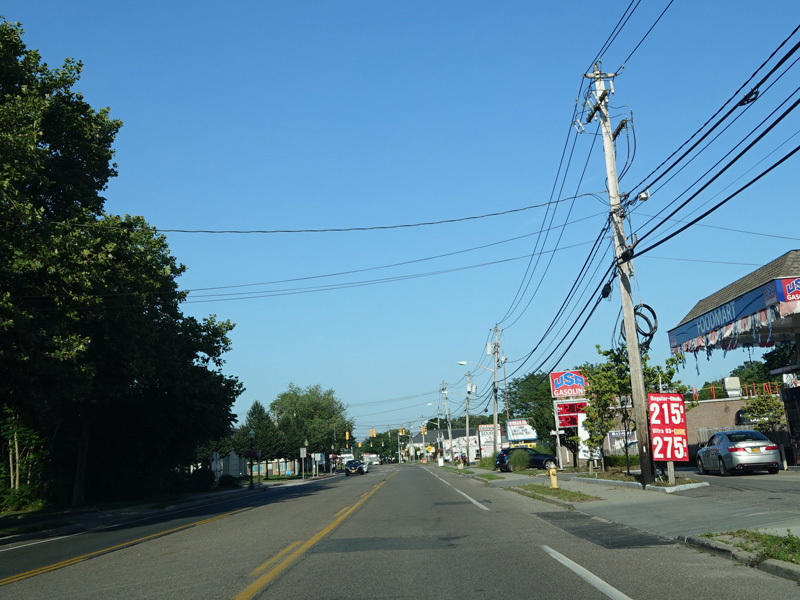
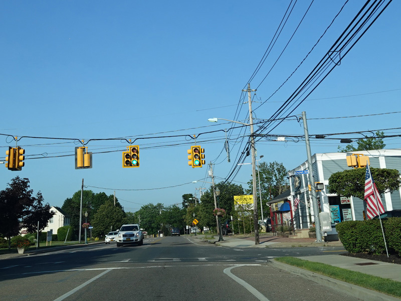
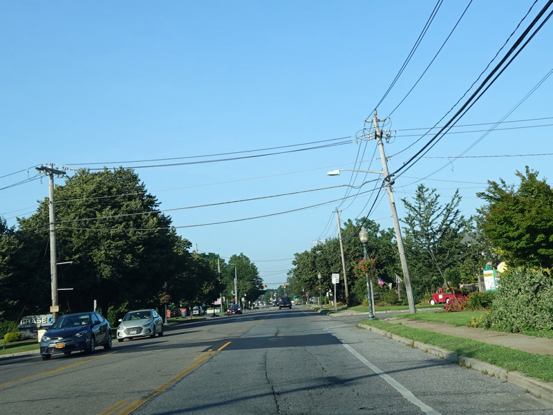
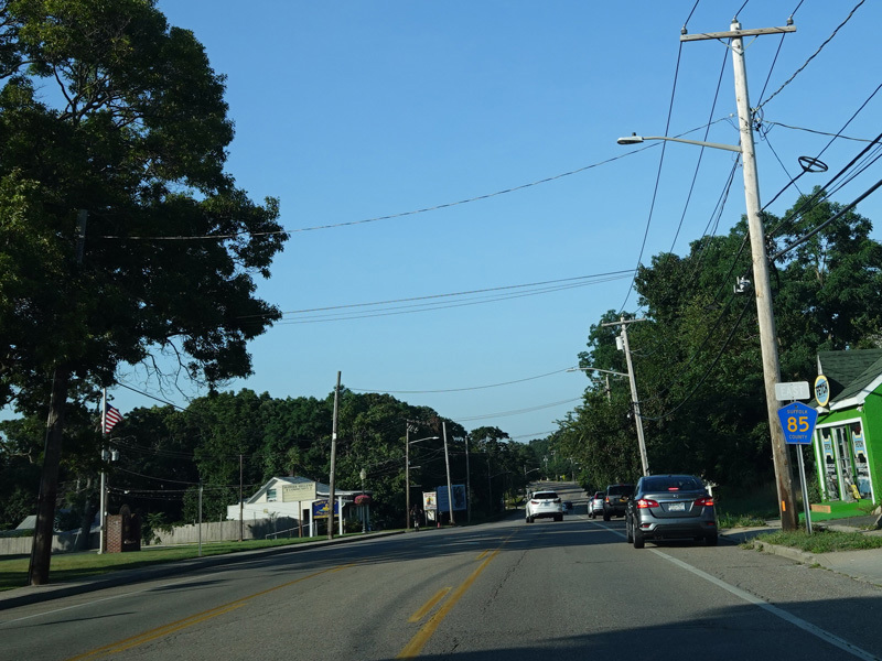
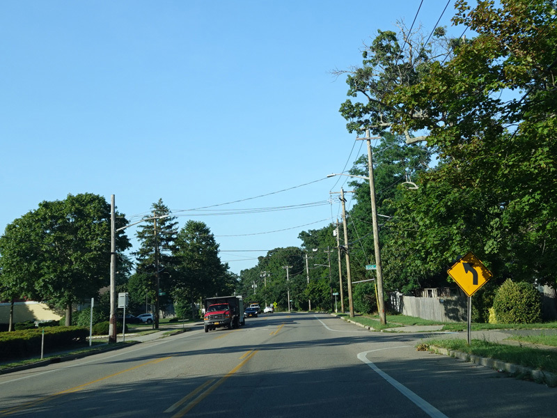
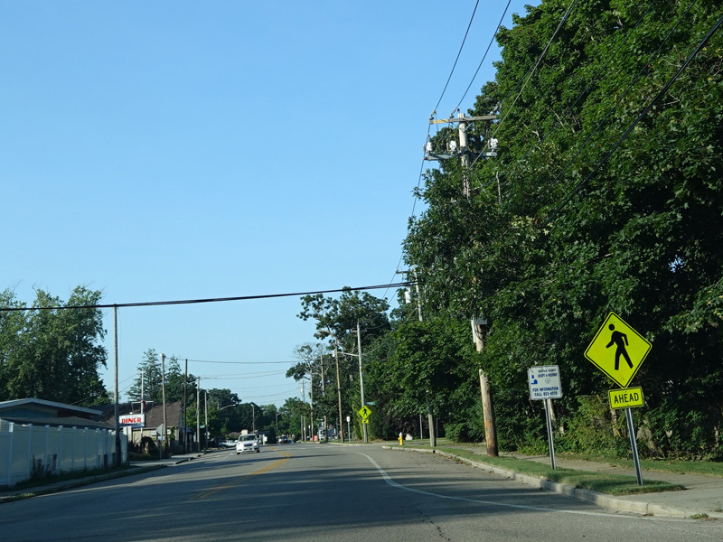
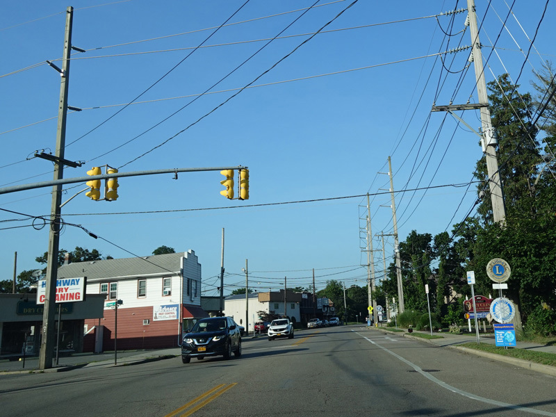
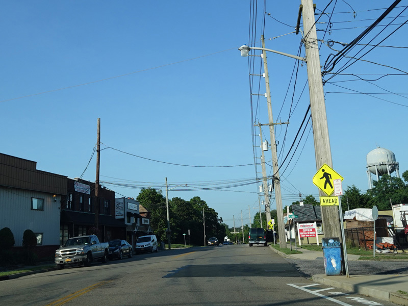
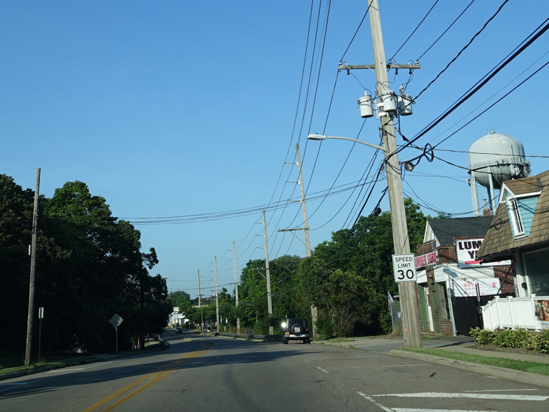
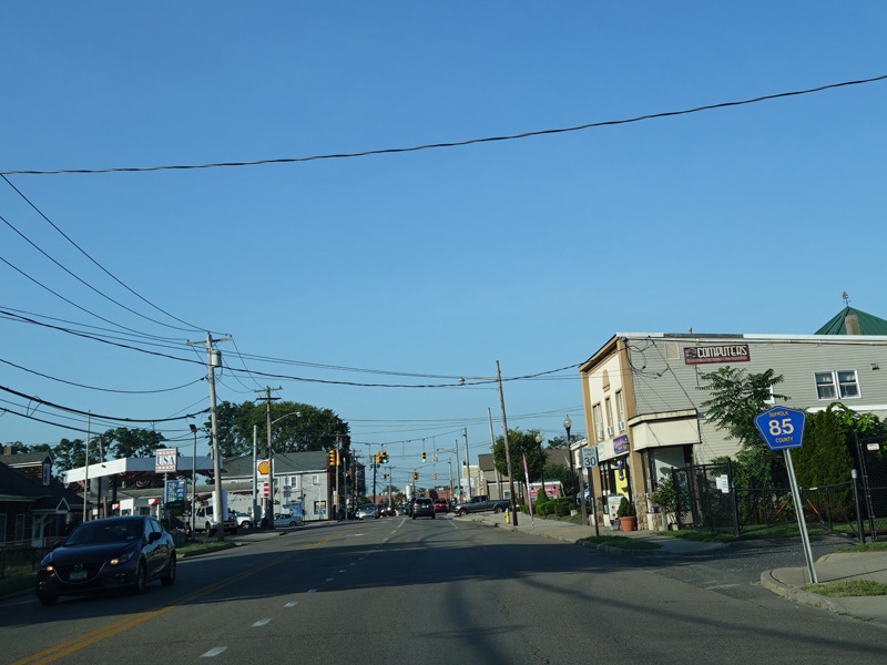
Montauk Highway runs east from Oakdale to West Sayville.
Photos taken July 2020.
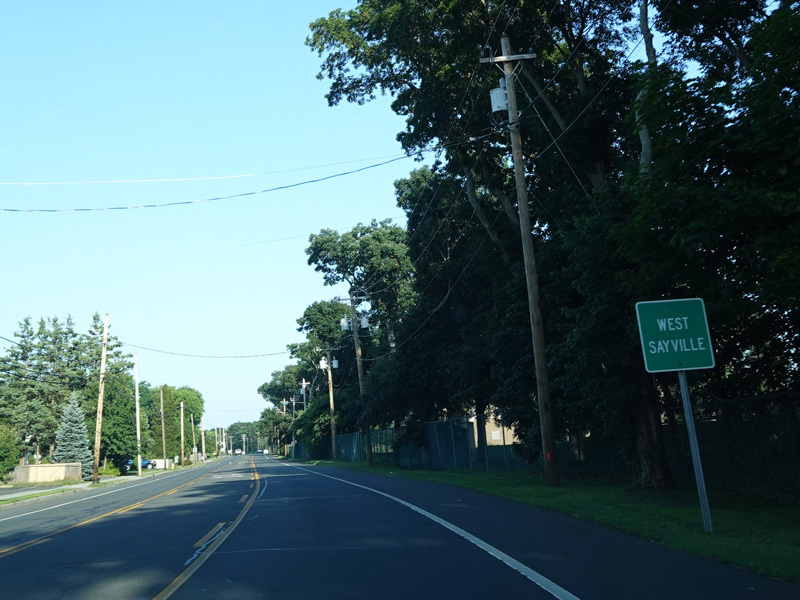
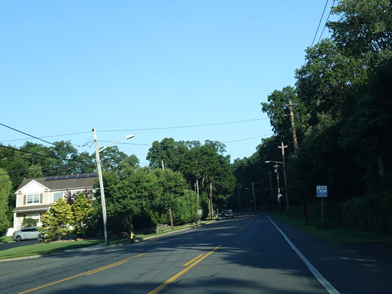
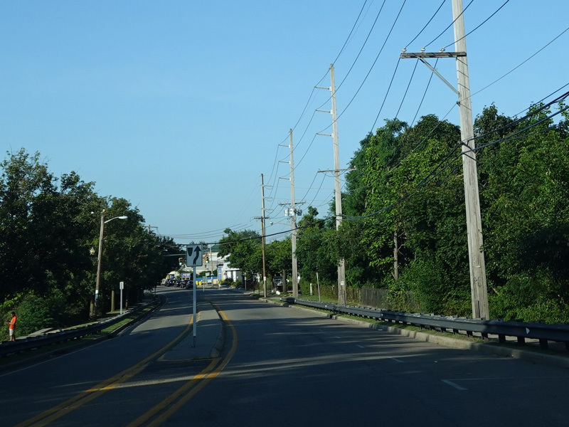
Welcome to West Sayville!
Photos taken July 2020.
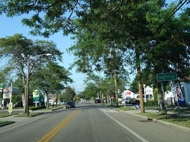
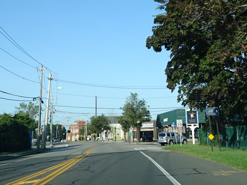
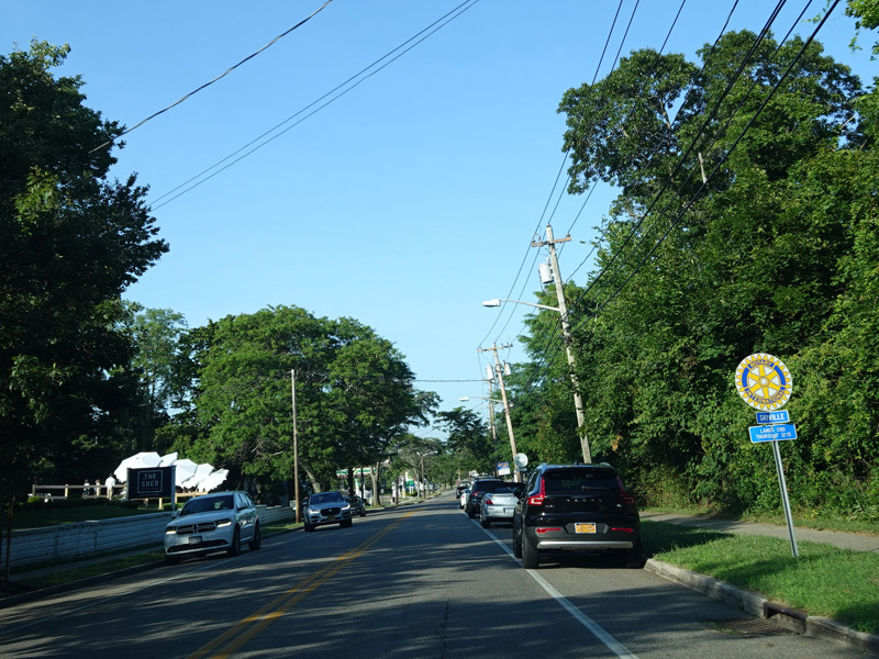
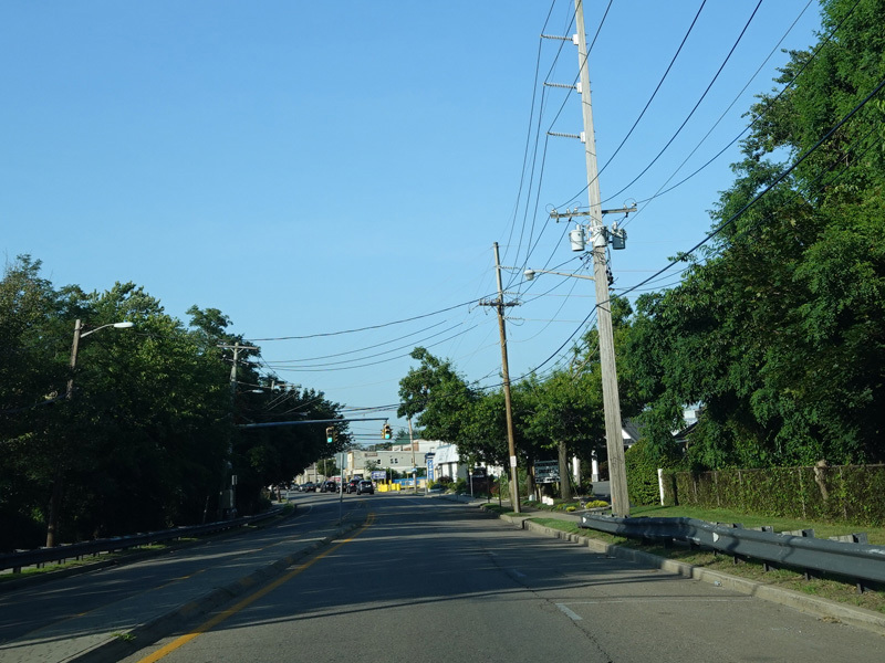
Welcome to Sayville!
Photos taken July 2020.
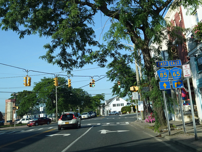
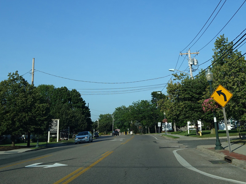
The roadway splits. Middle Road (CR 65) begins to the right. Bear left to stay on Montauk Highway.
Photo taken July 2020.
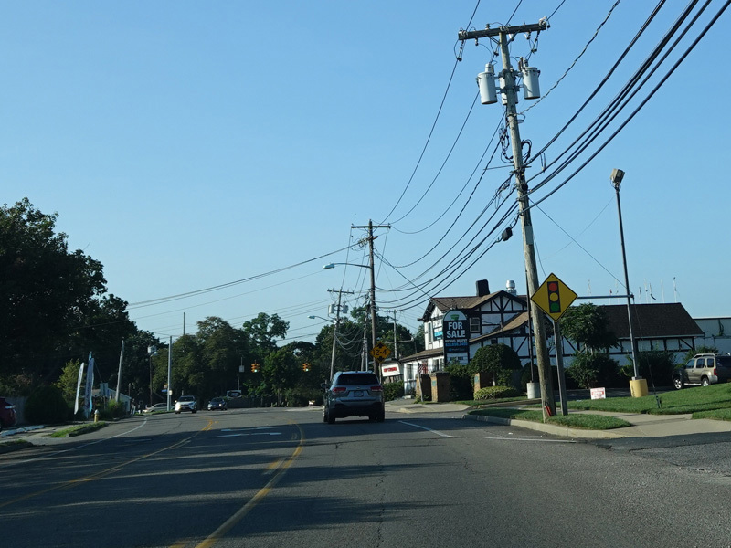
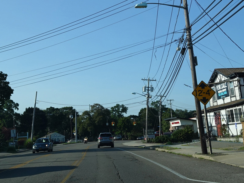
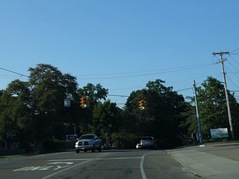
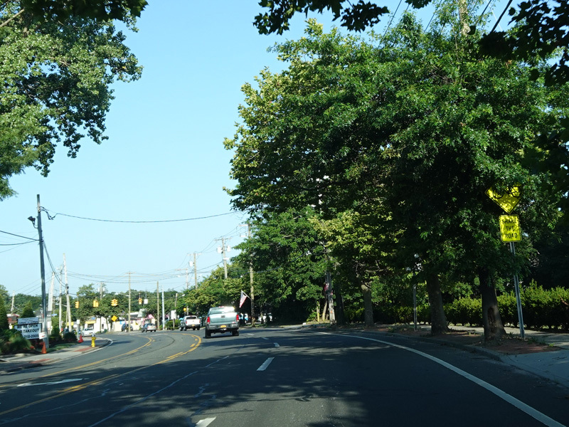
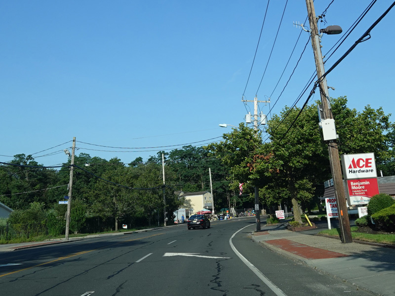
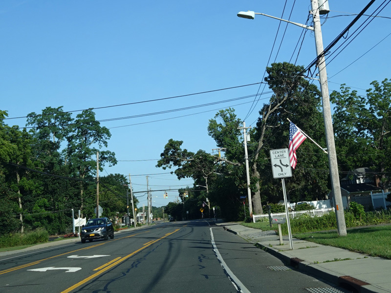
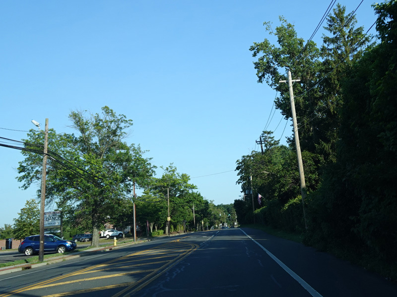
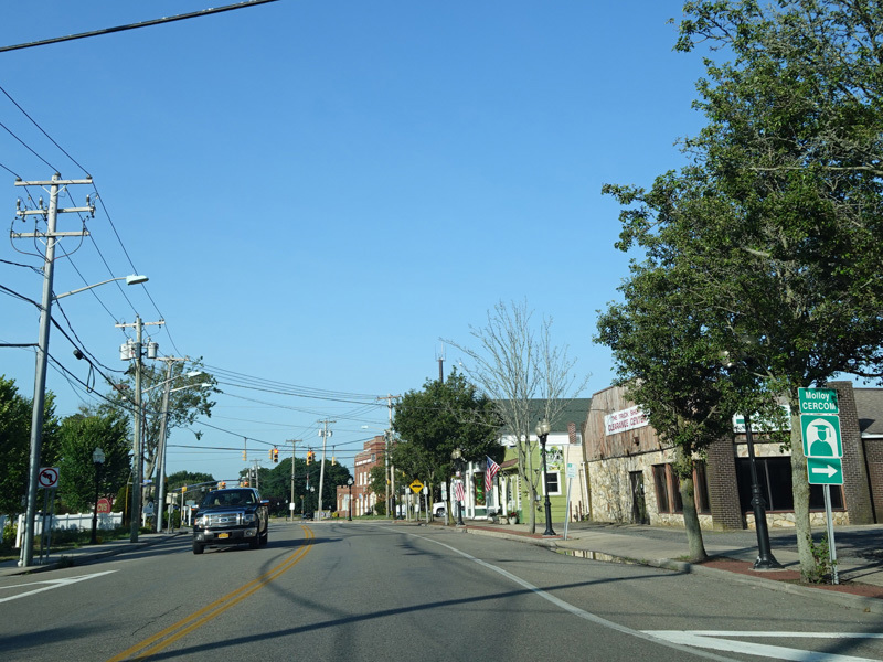
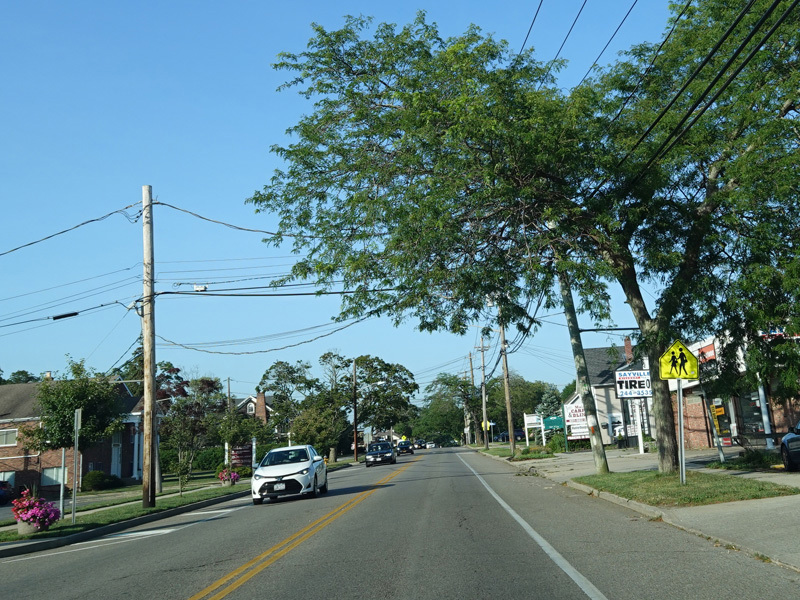
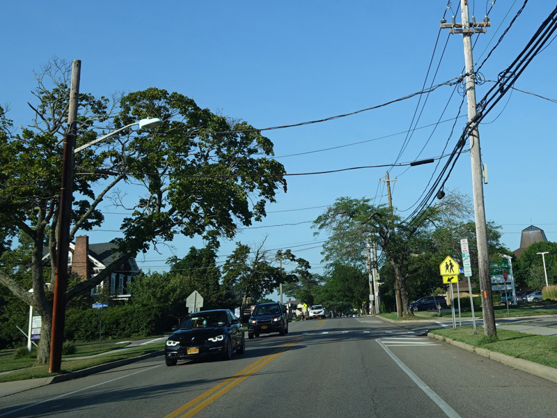
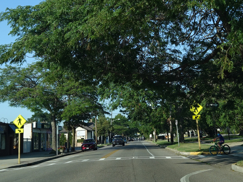
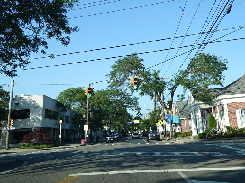
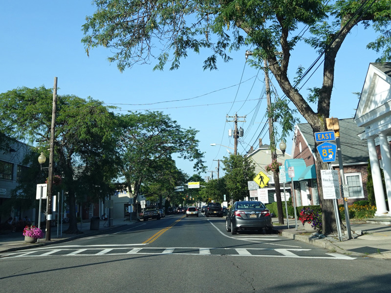
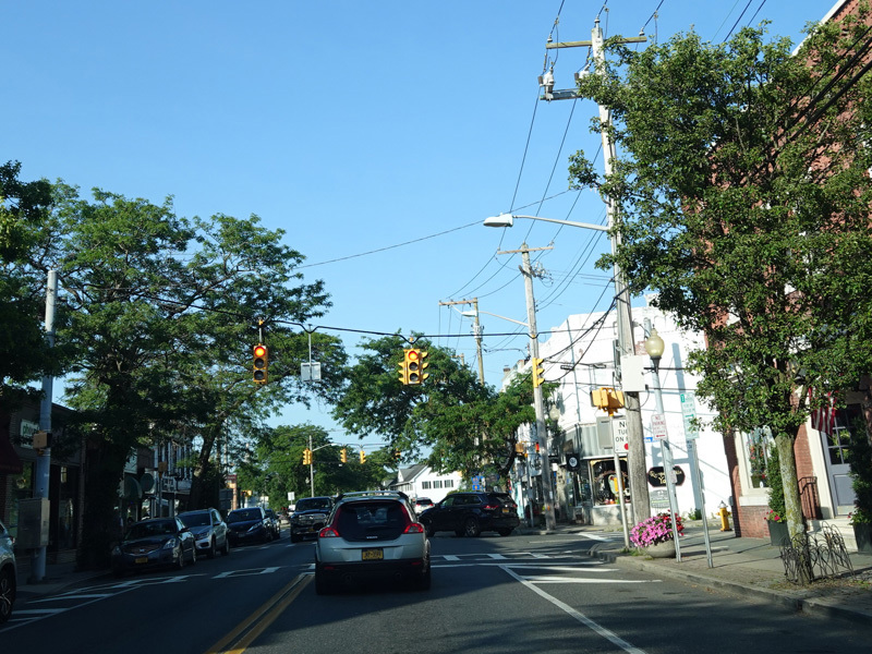
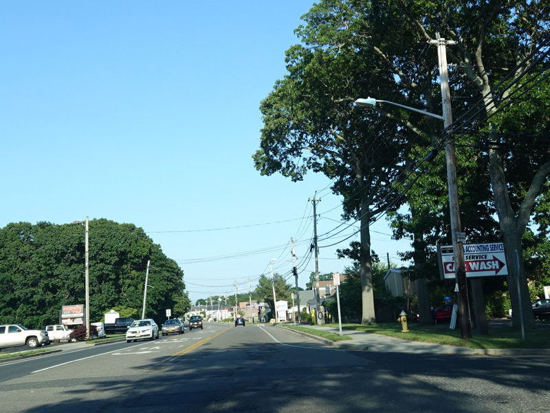
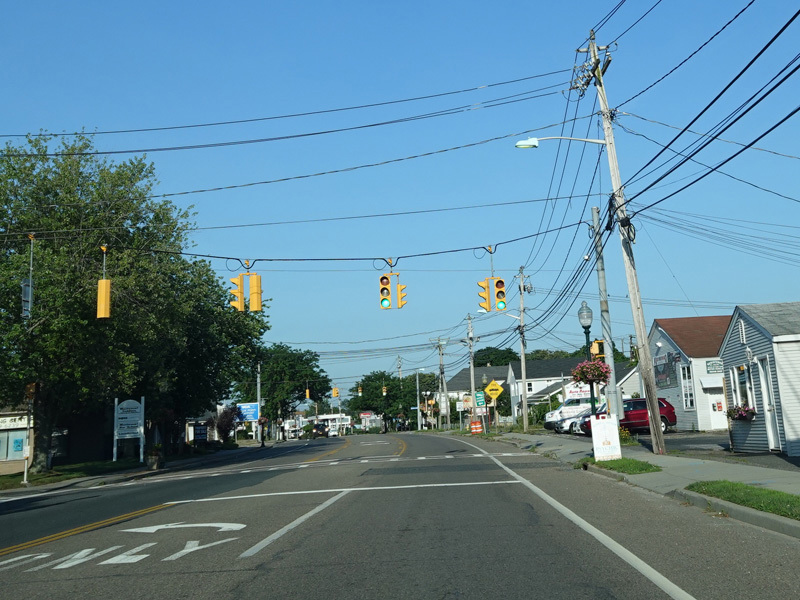
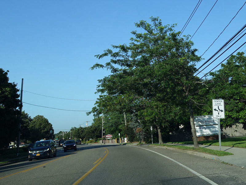
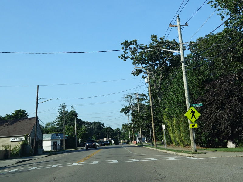
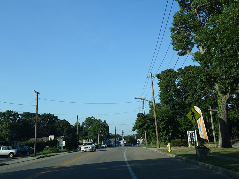
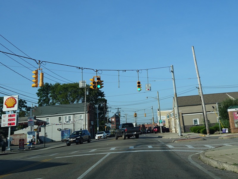
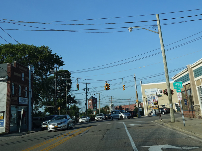
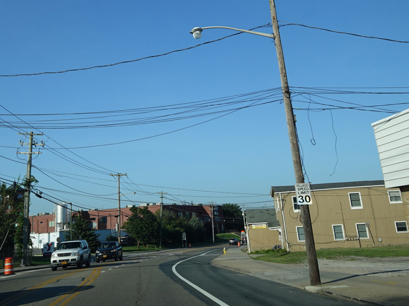
Montauk Highway runs east through Sayville as a two-lane undivided road.
Photos taken July 2020.
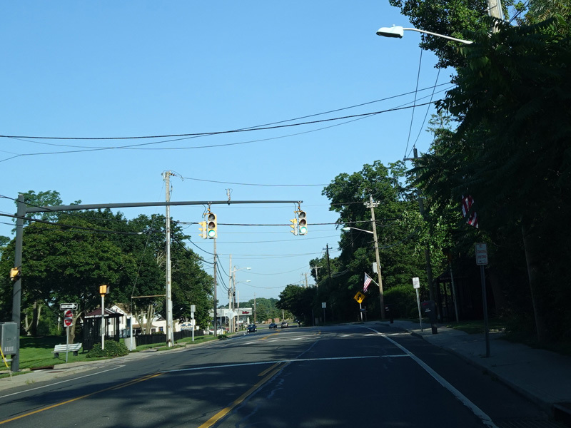
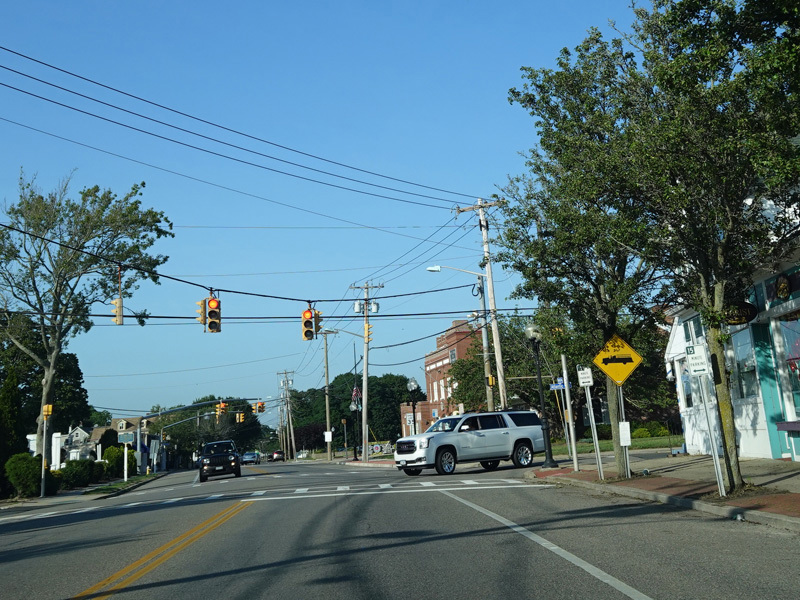
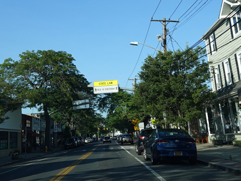
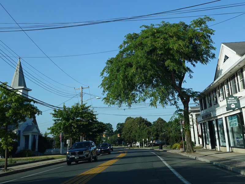
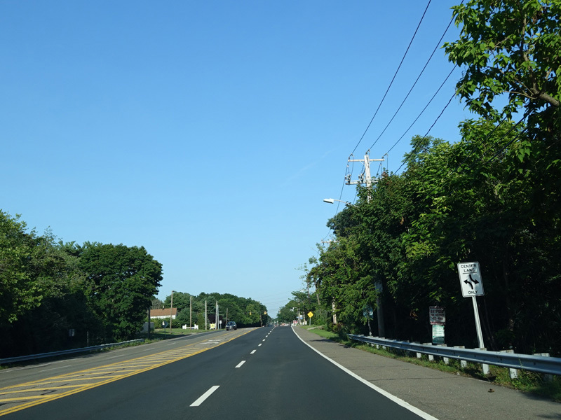
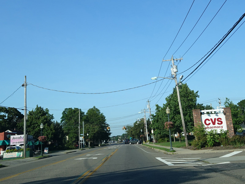
Montauk Highway widens to four lanes.
Photos taken July 2020.
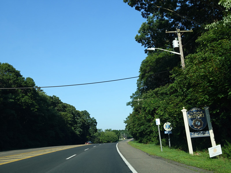
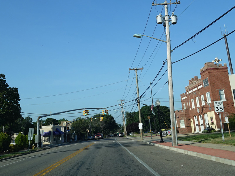
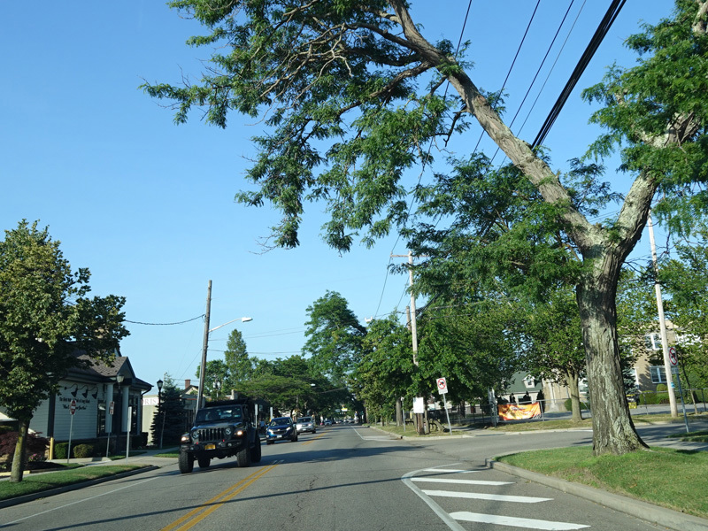
Welcome to Bayport!
Photos taken July 2020.
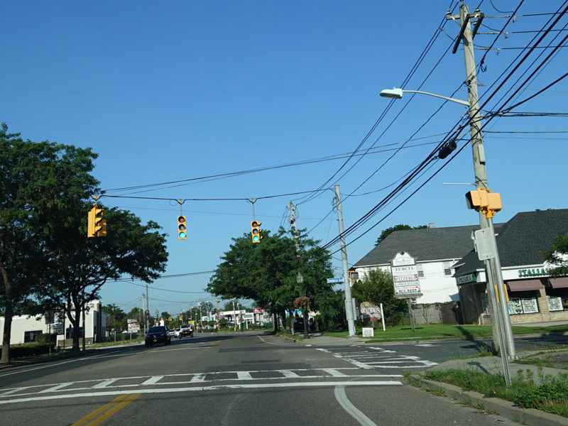
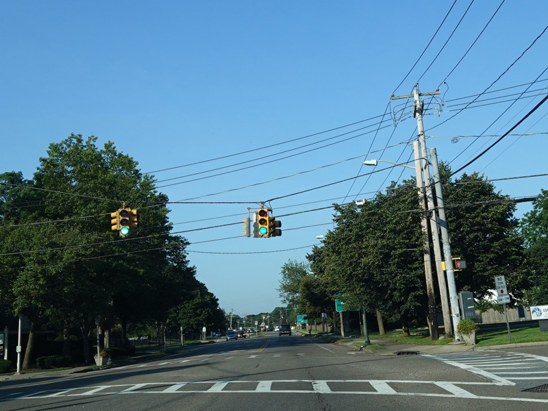
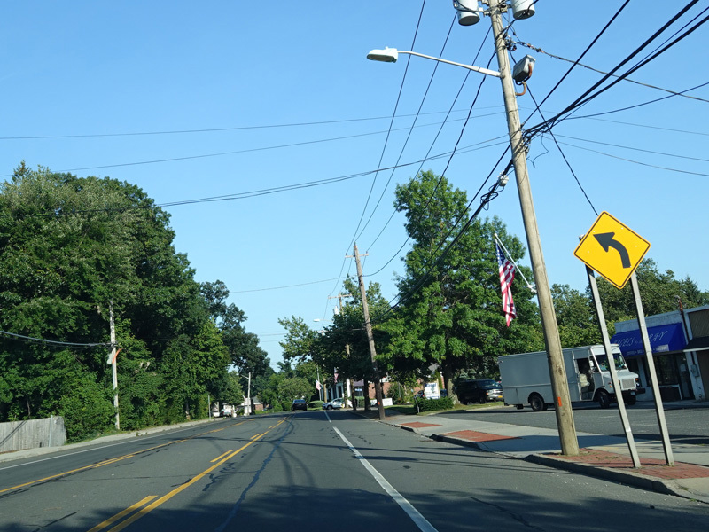
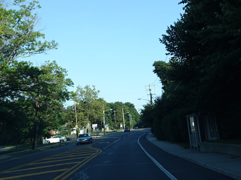
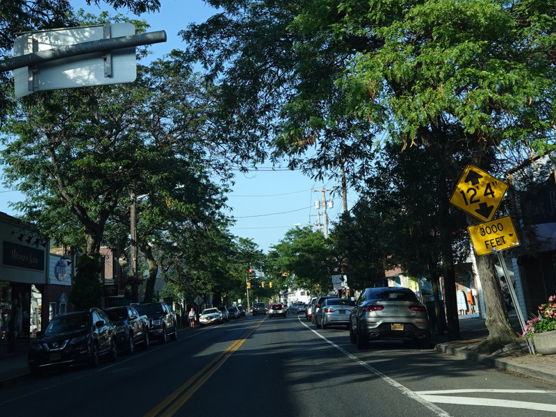
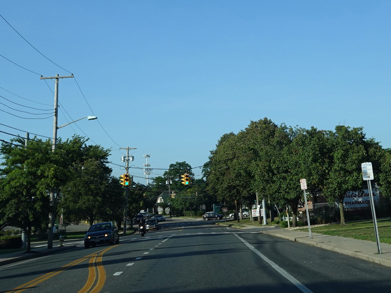
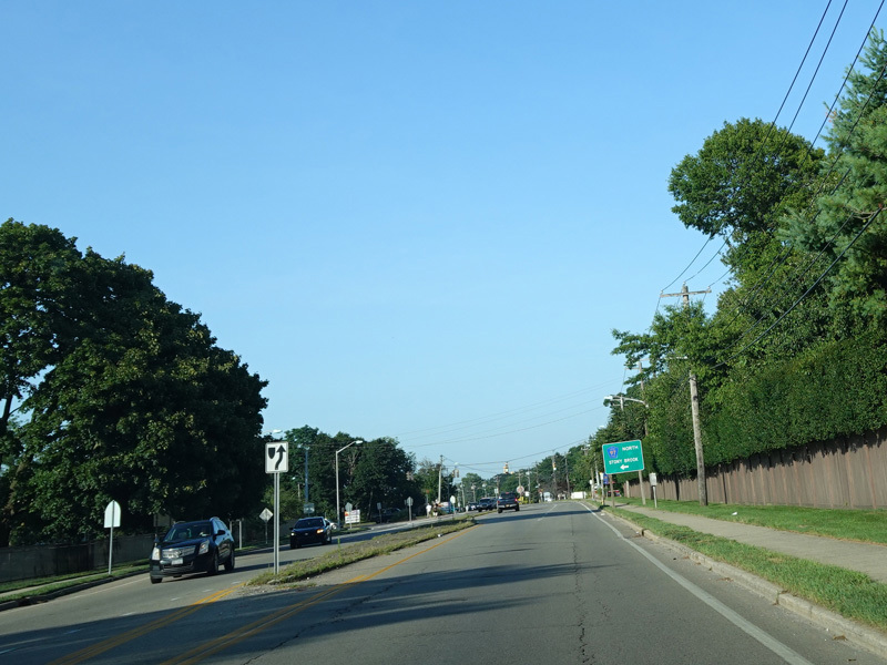
Montauk Highway narrows back down to two lanes.
Photos taken July 2020.
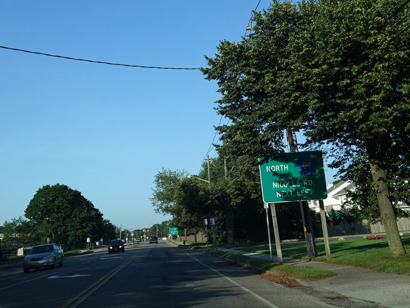
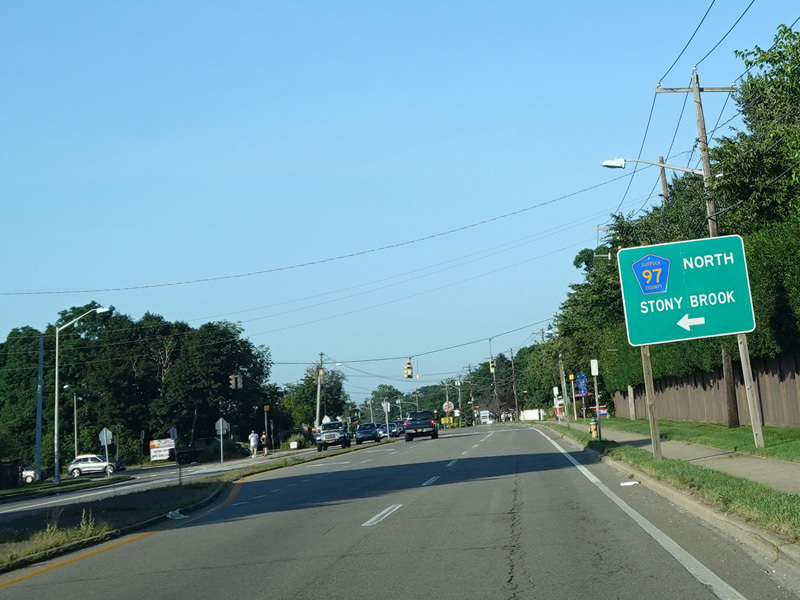
Montauk Highway widens to four lanes and becomes a divided highway. Nicolls Road (CR 97) begins on the left.
Photos taken July 2020.
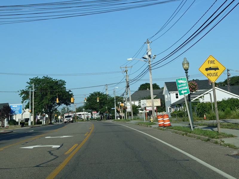
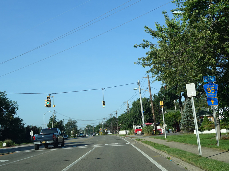
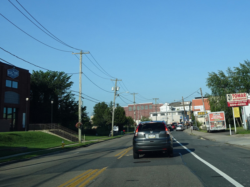
Montauk Highway narrows down to two lanes again and runs east through Blue Point.
Photos taken July 2020.
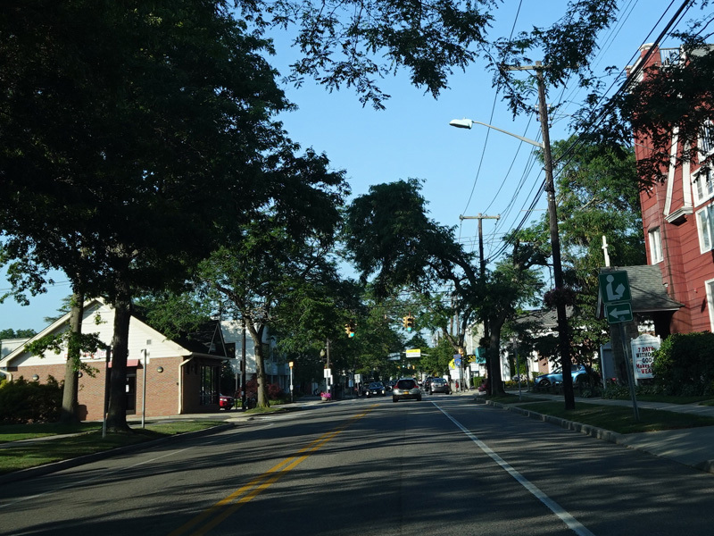
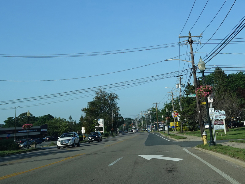
Welcome to Patchogue! At the village line, Montauk Highway changes names to become West Main Street.
Photos taken July 2020.
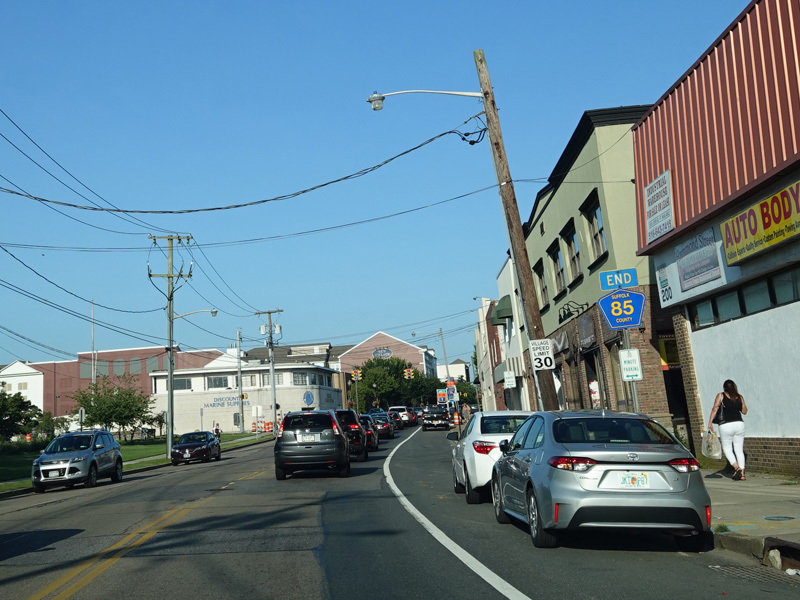
CR 85 ends here. West Avenue (CR 19) is at the traffic light just past the end shield. Straight ahead, Main Street continues through Patchogue as a local street. At the eastern boundary of the village, it changes names to become Montauk Highway again and takes on the designation of CR 80.
Photo taken July 2020.