- Direction:
- North/South
- Southern Terminus:
- Lehigh Valley Thruway (US 22) in Bethlehem
- Northern Terminus:
- Pennsylvania-New York state line
- Counties:
- Northampton, Monroe, Pike, Wayne
- Signed:
- Yes
PA 191 is a north/south route through the Lehigh Valley and the Poconos. It begins at the Lehigh Valley Thruway (US 22) in Bethlehem and runs north along Nazareth Pike to Nazareth. It follows Easton Road, South Broad Street, East Center Street, and North New Street through Nazareth and then curves to the east to become East Lawn Road. After about a mile, it changes names to become Industrial Boulevard, has an interchange with PA 33, and then turns north onto Main Street.
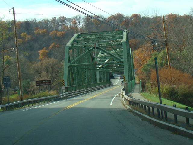
PA 191 follows Bangor Road and Washington Boulevard north to Bangor. Passing through Bangor, PA 191 becomes South 1st Street, North 1st Street, and Roseto Avenue. It continues north as Valley View Drive and Mountain Road to Stroudsburg, where it has a partial interchange with the Keystone Shortway (I-80). PA 191 runs northwest along Paradise Creek. It is known as Paradise Trail and Paradise Valley Road in this area. It turns north and continues through the Poconos, eventually reaching I-84 and having an interchange with it. It is multiplexed with PA 196 for a few miles along Easton Turnpike and then splits off to the northeast toward Honesdale. There, it is multiplexed with US 6 along a pair of parallel one-way streets for a few blocks. North of Honesdale, PA 191 is known as Hancock Highway. It ends at a bridge over the Delaware River to Hancock, New York. NY 97 is a few blocks away from the bridge and can be accessed through the local streets. However, there is no designation, not even a reference route or a county route, for this connection.
| Photo Gallery |
|---|
| Map |