- Direction:
- North/South
- Southern Terminus:
- Tennessee-Virginia state line
- Northern Terminus:
- Virginia-West Virginia state line
- Distance:
- 324.92 miles
- Counties:
- Washington, Smyth, Wythe, Pulaski, Montgomery, Roanoke, Botetourt, Rockbridge, Augusta, Rockingham, Shenandoah, Warren, Frederick
- Independent Cities:
- Bristol, Salem, Harrisonburg, Winchester
- Signed:
- Yes
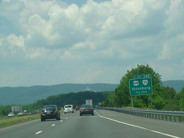
I-81 is a north/south interstate extending from Tennessee to the Canadian border in New York. The section in Virginia runs through the western areas of the state, near the border with West Virginia. It enters the state from Tennessee in Bristol and runs northeast, crossing the border into West Virginia a few miles north of Winchester.
| Photo Gallery |
|---|
| Map |