Euclid Avenue, Lee Highway, Main Street, Washington Avenue, Washington Street, 5th Street, Broad Street, Norwood Street, Radford Road, Radford Street, Roanoke Street, Roanoke Road, College Avenue, Colorado Street, Apperson Drive, Brandon Avenue, Grandin Road, Memorial Avenue, Campbell Avenue, Williamson Road, Lee Jackson Highway, Greenville Avenue, Commerce Road, Valley Pike, South Congress Street, North Congress Street, Old Valley Pike, Stover Avenue, King Street, North Massanutten Street, Gerrard Street, Cameron Street, Martinsburg Pike
- Direction:
- North/South
- Southern Terminus:
- Tennessee-Virginia state line
- Northern Terminus:
- Virginia-West Virginia state line
- Distance:
- 338.81 miles
- Counties:
- Washington, Smyth, Wythe, Pulaski, Montgomery, Roanoke, Botetourt, Rockbridge, Augusta, Rockingham, Shenandoah, Warren, Frederick
- Independent Cities:
- Bristol, Radford, Salem, Roanoke, Lexington, Staunton, Harrisonburg, Winchester
- Signed:
- Yes
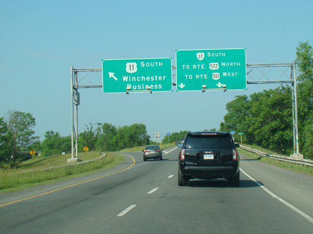
US 11 is a major north/south route running diagonally from New Orleans, Louisiana, to the Canadian border in Rouses Point, New York. The section in Virginia runs through the western areas of the state, near the border with West Virginia. It enters the state from Tennessee in Bristol and runs northeast, crossing the border into West Virginia a few miles north of Winchester. In most areas, it is known as Lee Highway, although it takes on a number of local names in the various towns through which it passes. It runs next to I-81 and serves as its local alternative.
| Photo Gallery |
|---|
| Map |