Wardensville Pike, John Marshall Highway, North Massanutten Street, King Street, Front Royal Road, Strasburg Road, Shenandoah Avenue, 14th Street, North Royal Avenue, South Royal Avenue, South Street, Winchester Road, Free State Road, Main Street, Washington Street
- Direction:
- East/West
- Western Terminus:
- Virginia-West Virginia state line
- Eastern Terminus:
- Lee Highway (US 29) in Gainesville
- Distance:
- 42.42 miles
- Counties:
- Frederick, Shenandoah, Warren, Fauquier, Prince William
- Signed:
- Yes
VA 55 is an east/west route in the Shenandoah Valley. In most areas, it is known as John Marshall Highway, although it takes on a number of local names at various points. WV 55 turns into VA 55 at the state line. It is multiplexed with US 48 from West Virginia until I-81, where US 48 ends. This section is intended to be widened to a large divided highway as a continuation of Corridor H of the Appalachian Development Highway System in West Virginia. East of I-81, VA 55 runs next to I-66 and serves as its local alternative. Almost all of VA 55 is a two-lane undivided road, although there is a section in Front Royal where it is multiplexed with US 522/US 340 as a four-lane road.
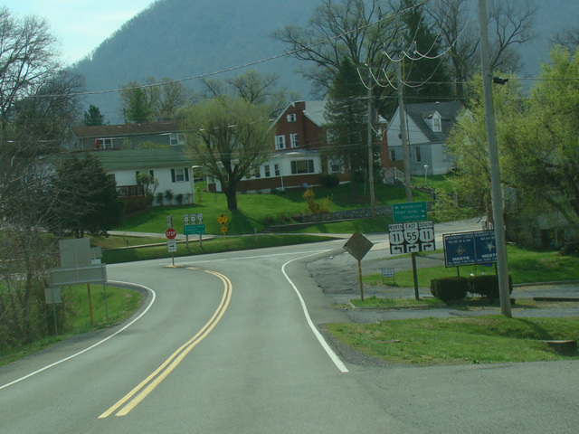
| Photo Gallery |
|---|
| Map |