Coolidge Highway, Canal Street, Main Street, Putney Road, Bellows Falls Road, Westminster Street, Atkinson Street, Rockingham Street, Rockingham Road, Missing Link Road, Charlestown Road, Connecticut River Road, North Hartland Road, North Main Street, Hartford Avenue, Christian Street, Church Street, Lower Plain, Upper Plain, Main Street South, Main Street North, Water Street, Ryegate Road, Railroad Street, Memorial Drive, Broad Street, Depot Street, Lynburke Road, South Barton Road, Lake Street, Barton Orleans Road, Coventry Street, Pleasant Street, Third Street, Causeway Street, East Main Street, Derby Line Road
- Direction:
- North/South
- Southern Terminus:
- Massachusetts-Vermont state line
- Northern Terminus:
- United States-Canada border
- Distance:
- 192.32 miles
- Counties:
- Windham, Windsor, Orange, Caledonia, Orleans
- Signed:
- Yes
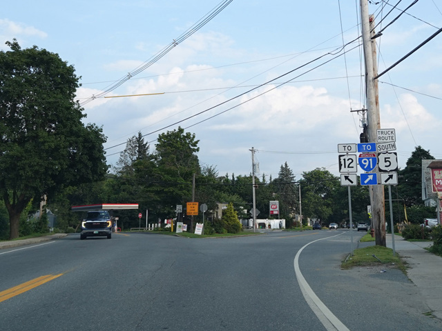
US 5 is a major north/south route beginning in New Haven, Connecticut, and running north to the Canadian border in Vermont. It serves as a local alternative to I-91. For most of its length in Vermont, I-91 runs along the eastern side of the state, near the Connecticut River, which forms the state line with New Hampshire. In the area of St. Johnsbury, the Connecticut River curves to the northeast, while US 5 continues north to Canada.
| Photo Gallery |
|---|