Main Street, Highlawn Drive, Spencer Road, Ripley Road, South Lewis Street, West Second Street, East Second Street, Corridor H, North Randolph Avenue, Seneca Trail, Allegheny Drive, Mountaineer Drive, North Main Street, Maple Avenue, Blue Gray Trail
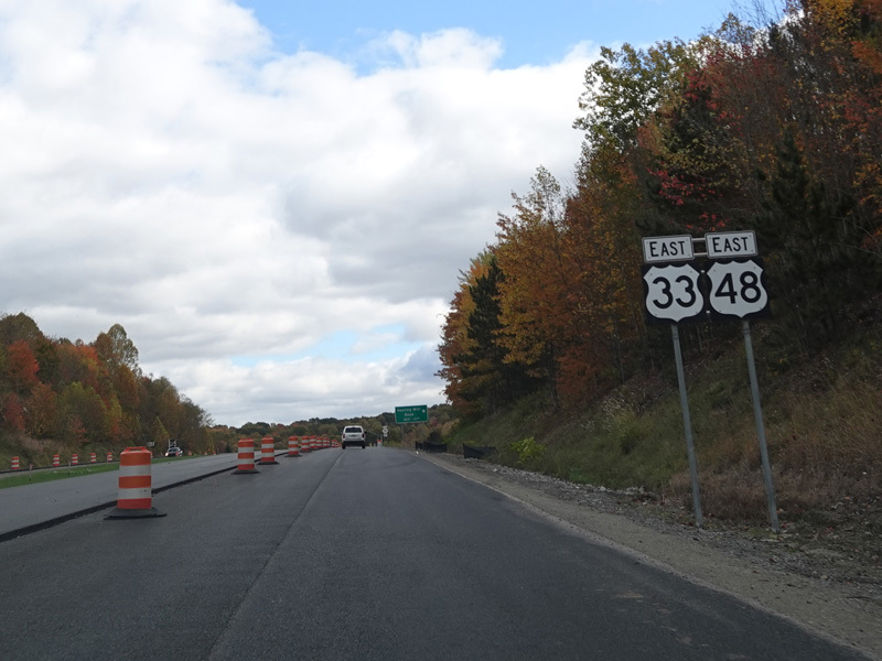
Eastbound Views
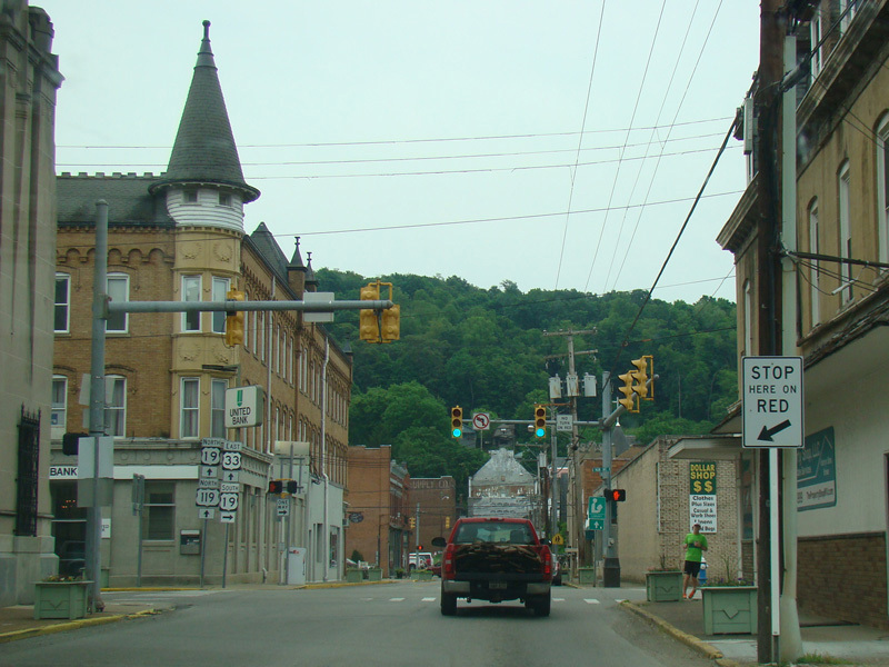
There is a traffic light at Main Avenue (US 19). Turn right to go south.
Photo taken May 2016.
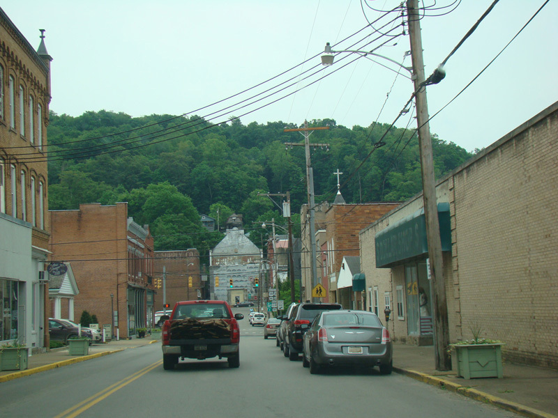
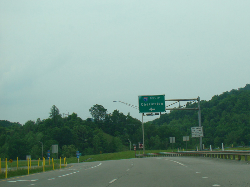
There is a traffic light at Center Avenue (US 19). Turn left to go north and to stay on US 33/US 119.
Photos taken May 2016.
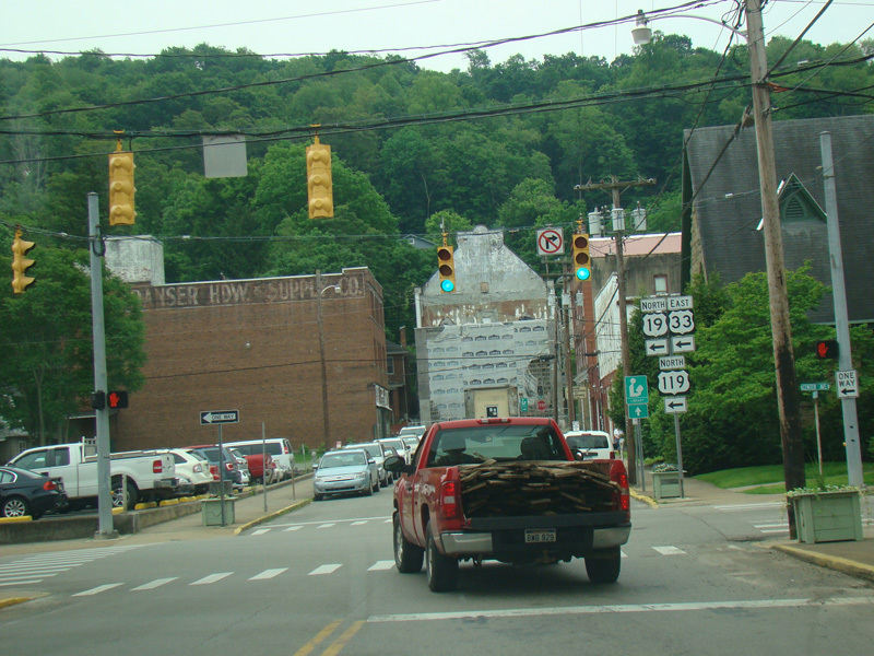
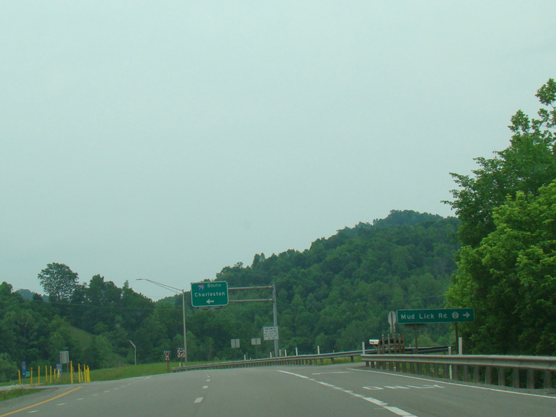
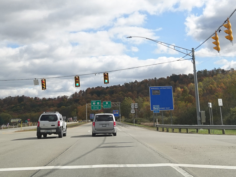
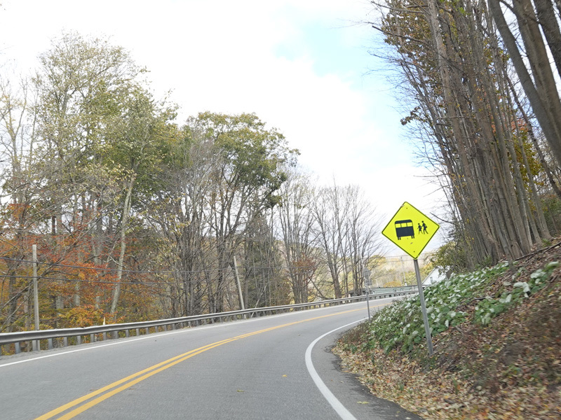
US 33/US 119 is multiplexed with US 19 along Center Avenue for two blocks and then turns west onto East Third Street.
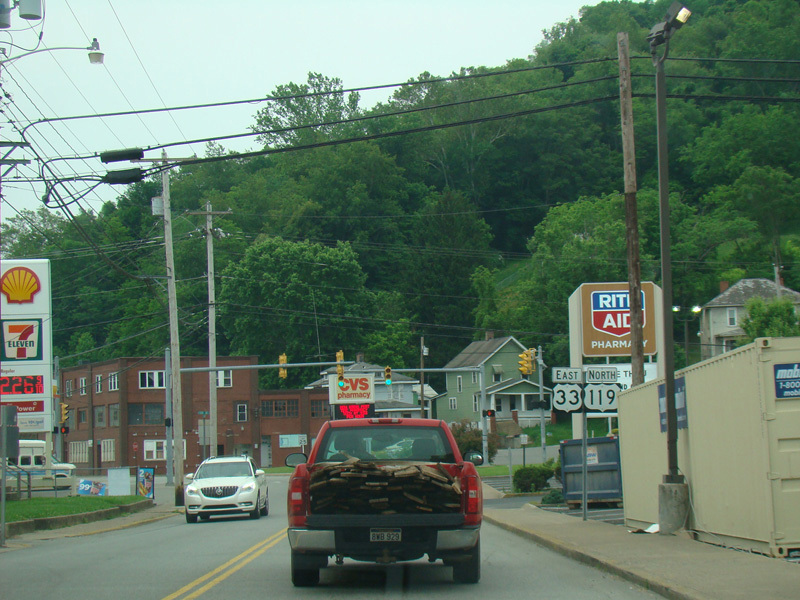
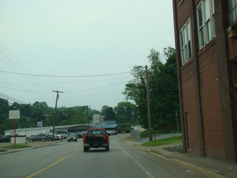
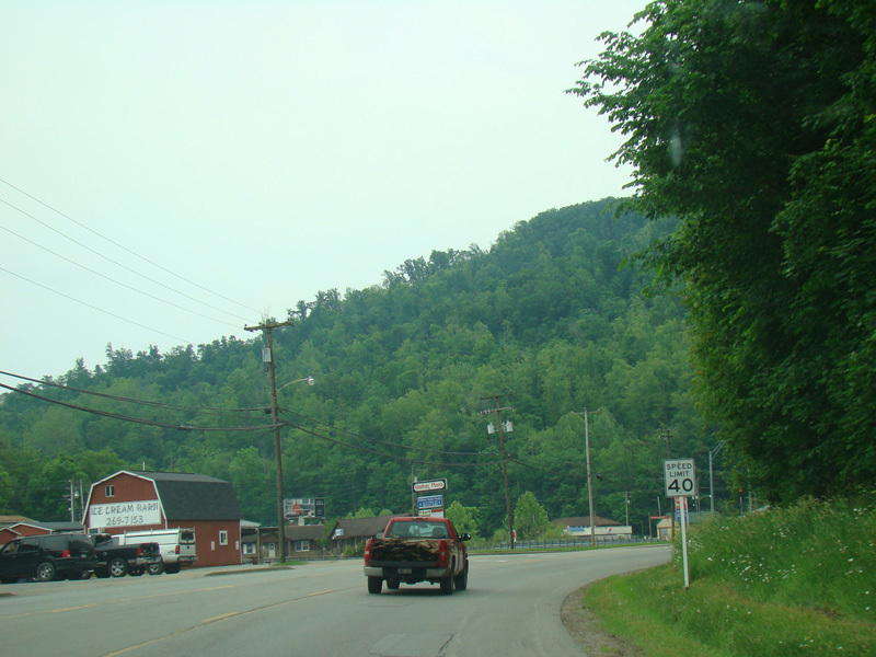
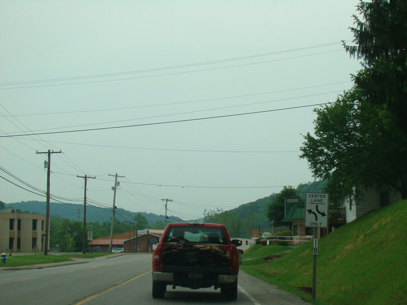
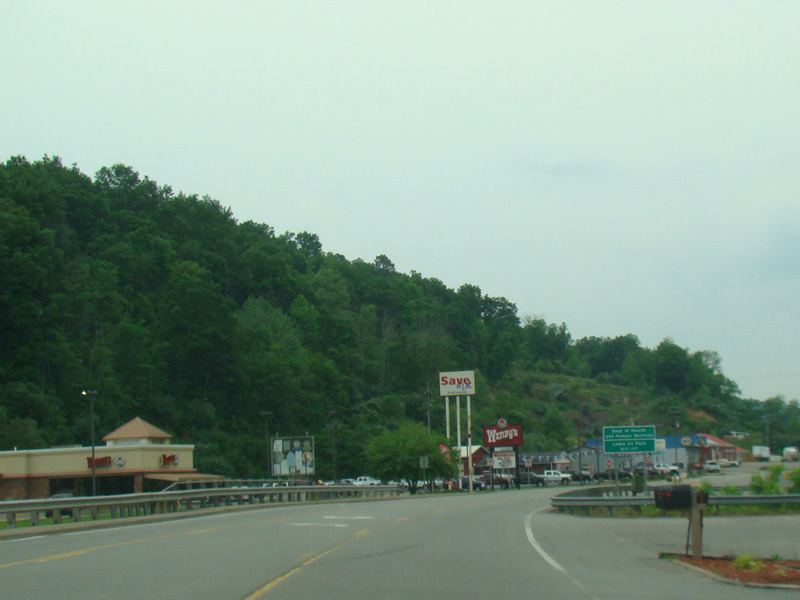
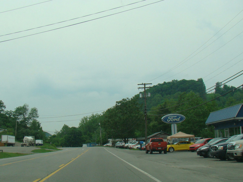
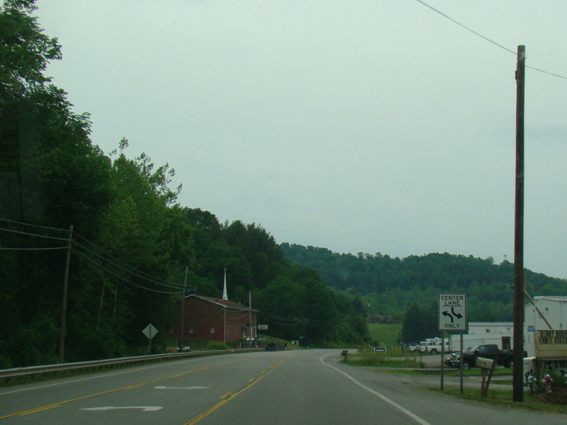
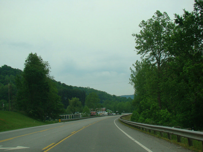
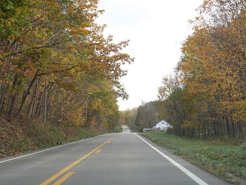
US 33/US 119 runs west through Weston, heading out of town.
Photos taken May 2016.
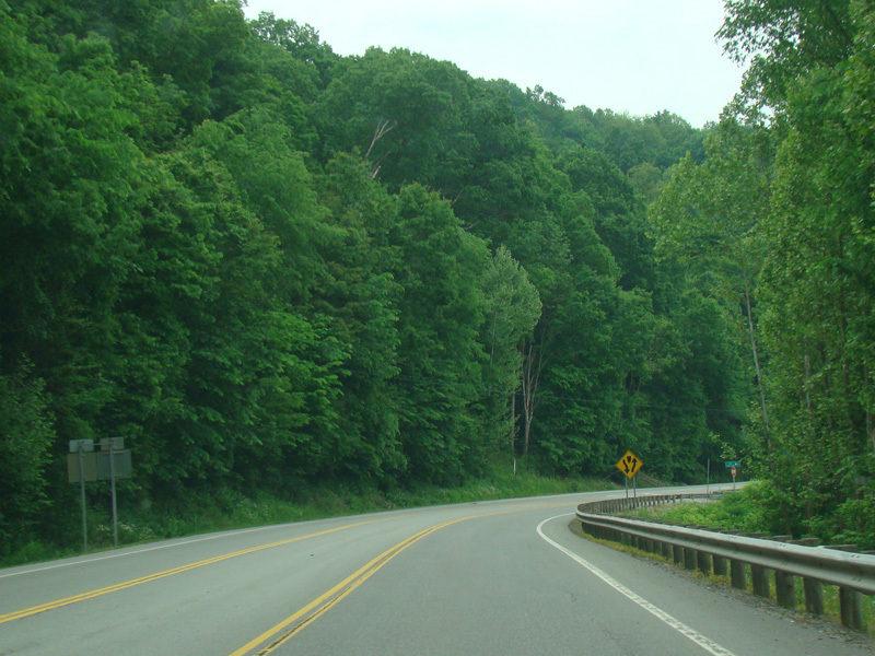
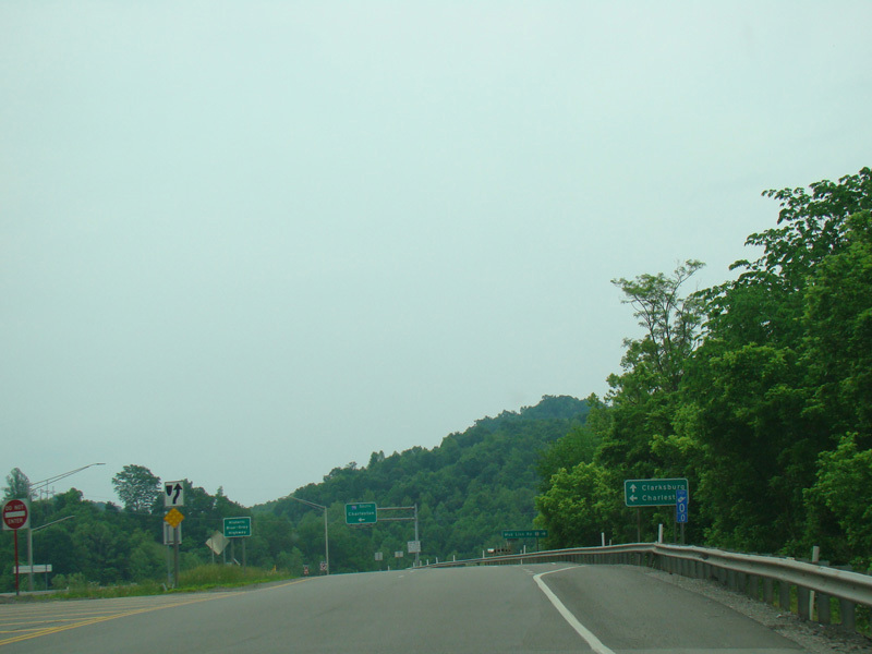
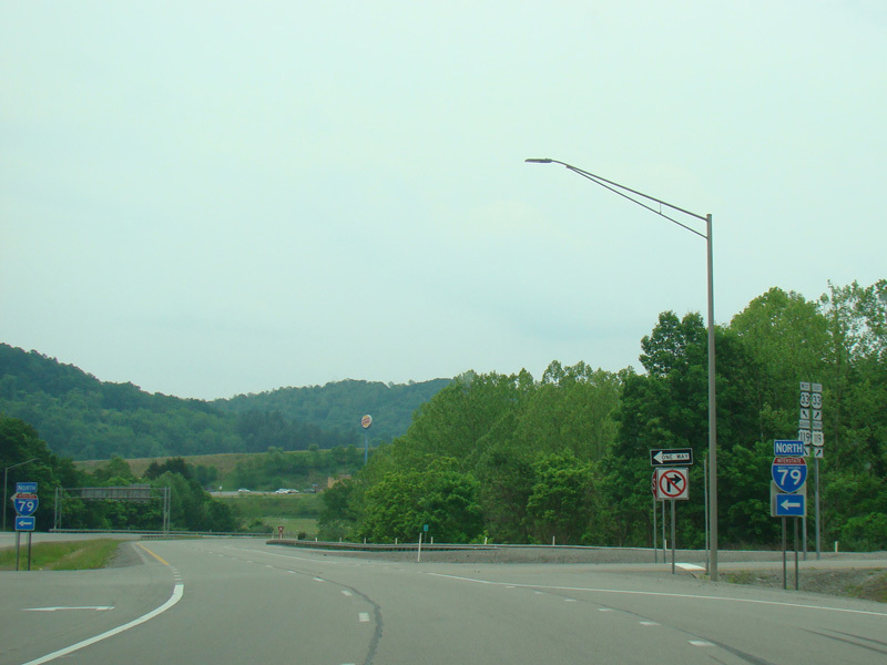
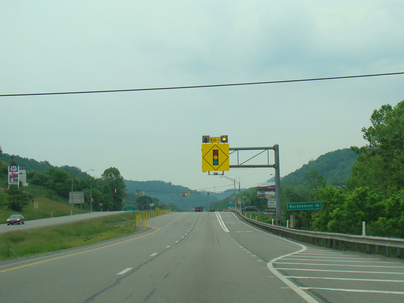
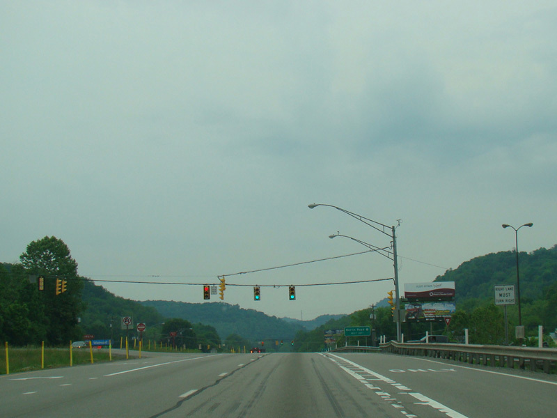
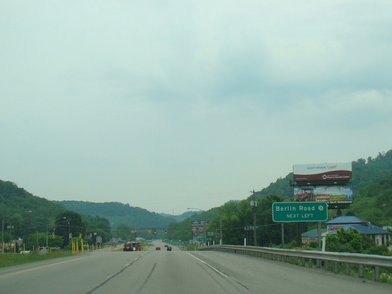
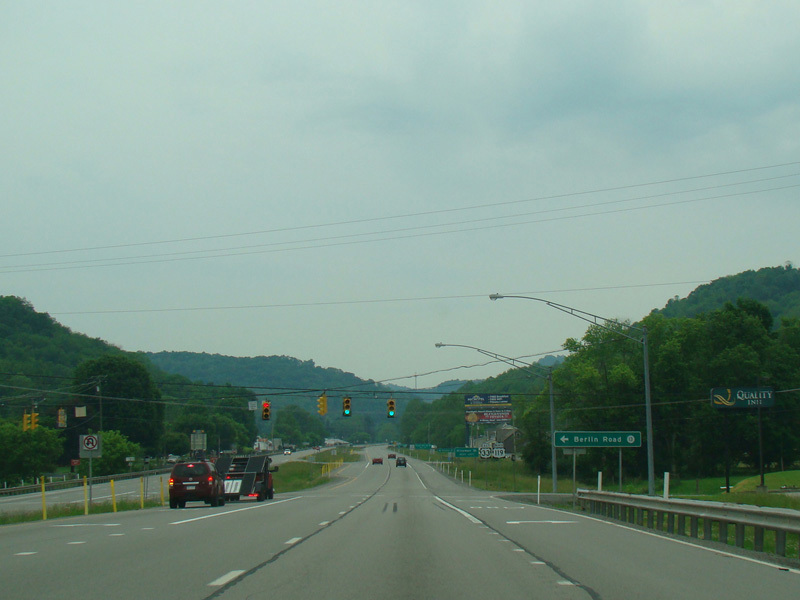
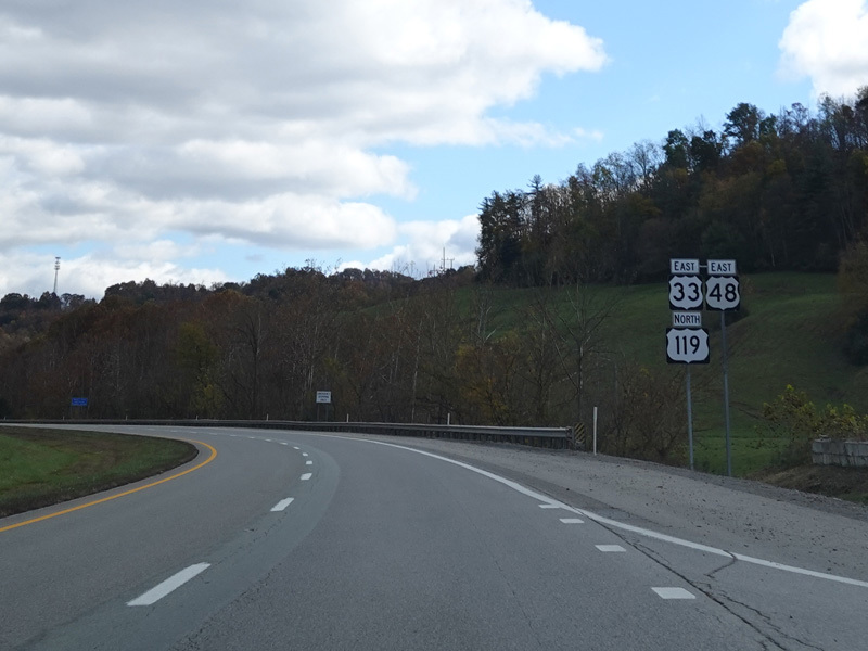
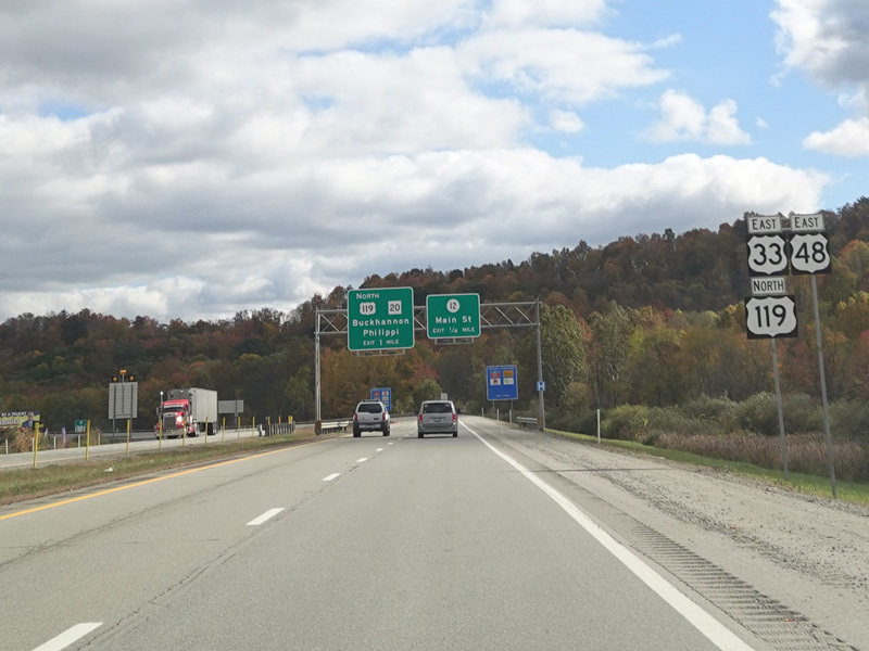
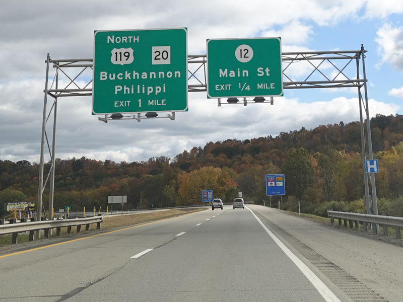
At the beginning of Corridor H, there are a couple of traffic lights. Berlin Road (CR 13) begins on the left at the second light.
Photos taken May 2016.
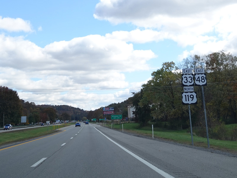
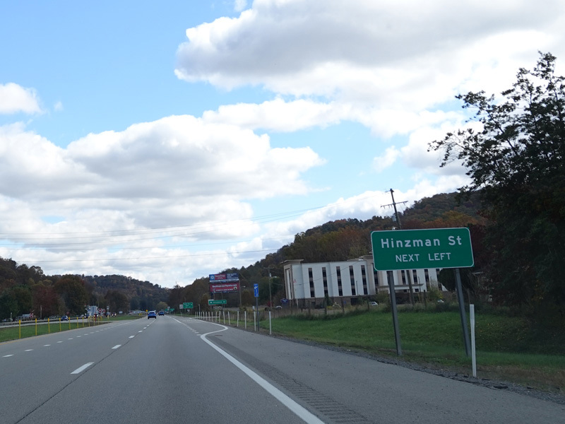
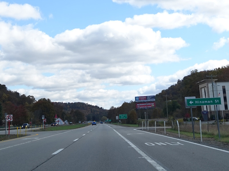
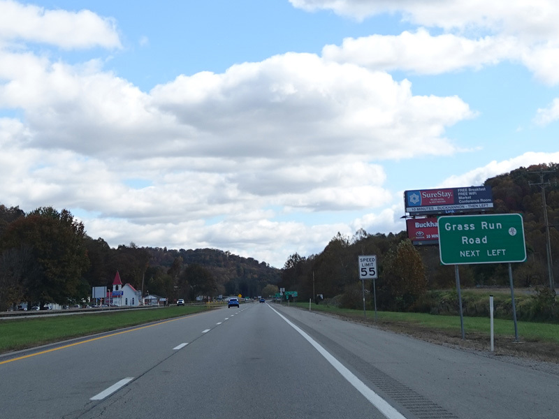
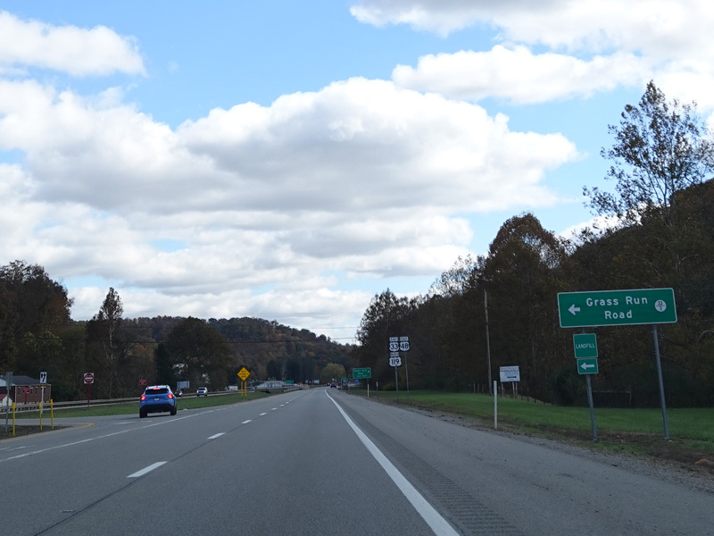
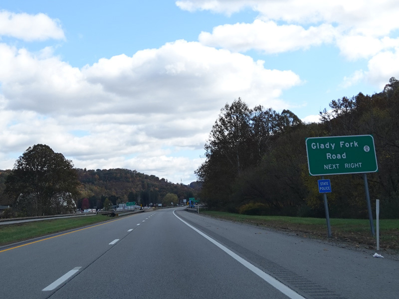
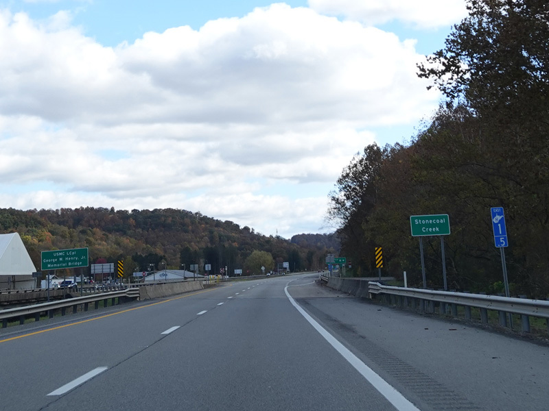
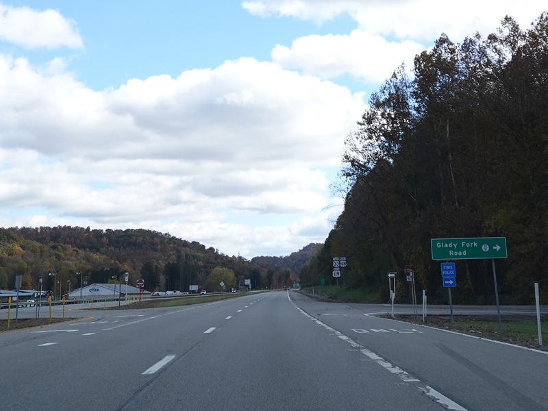
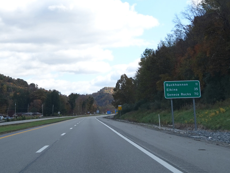
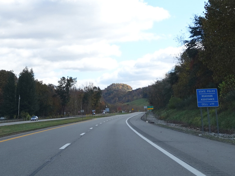
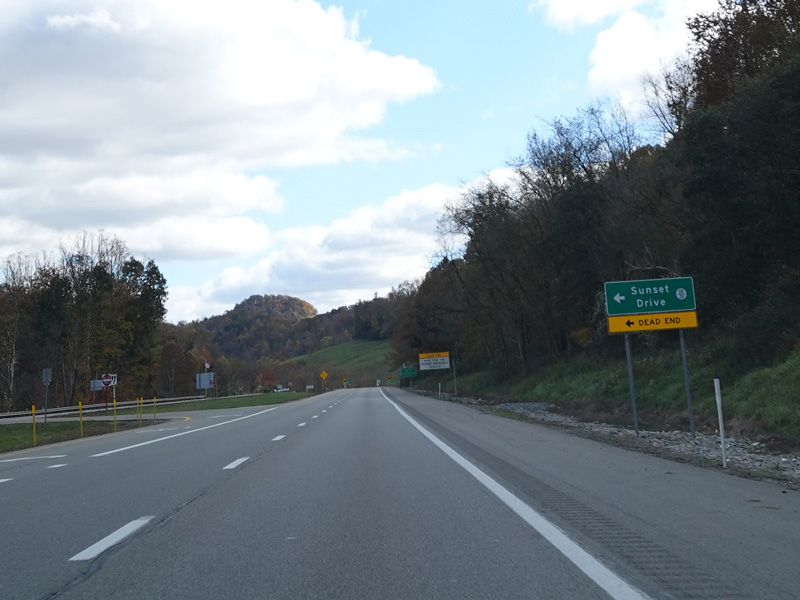
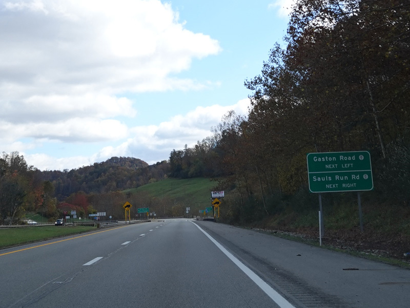
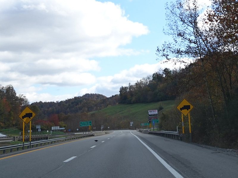
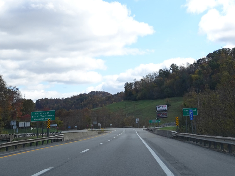
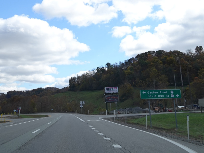
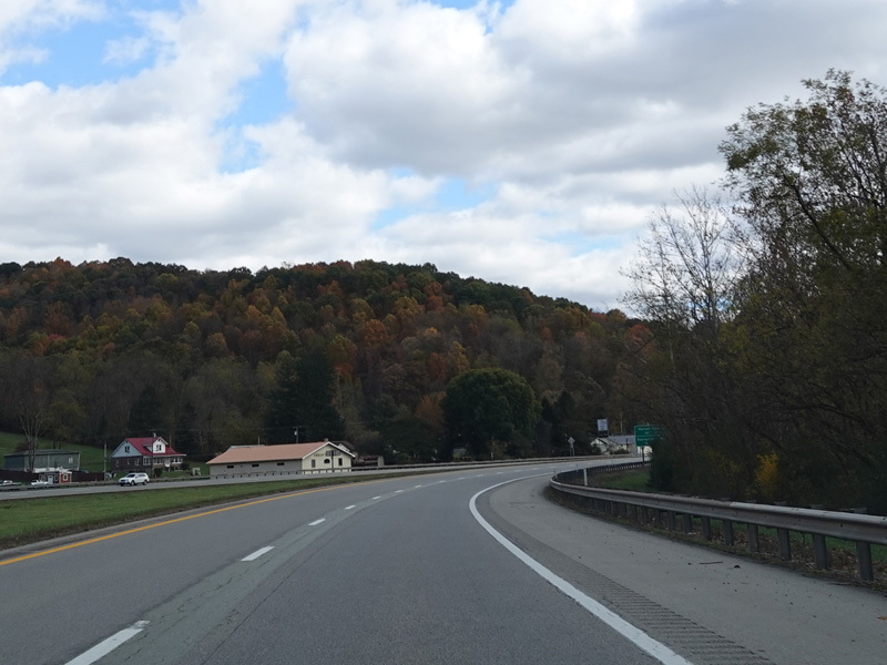
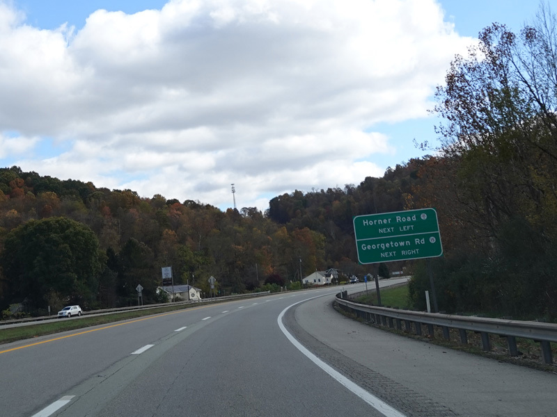
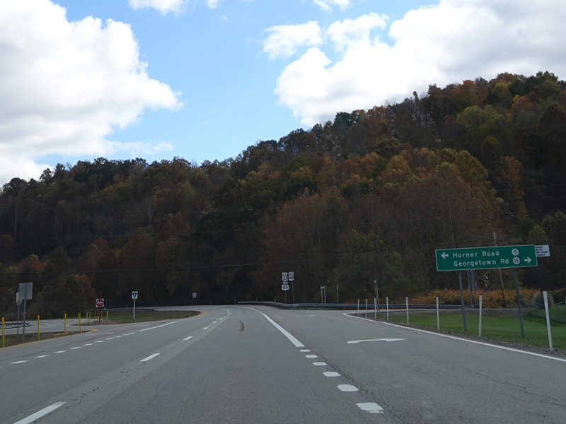
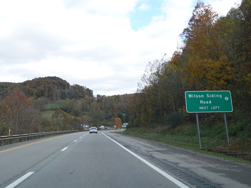

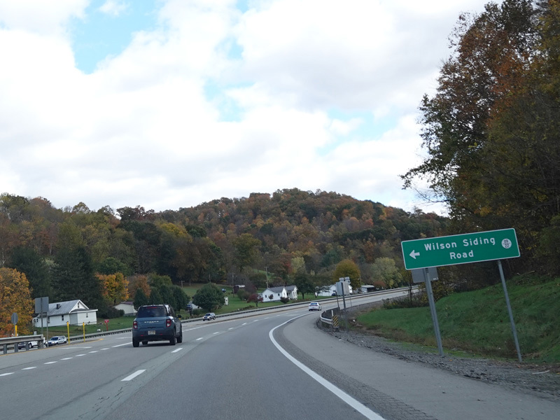
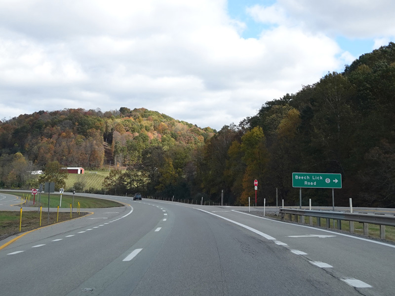
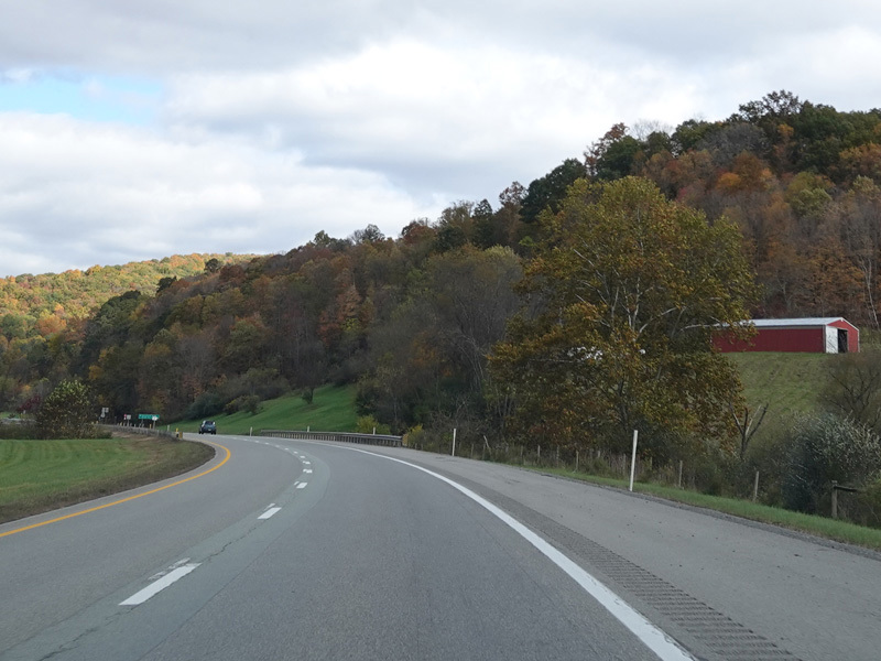
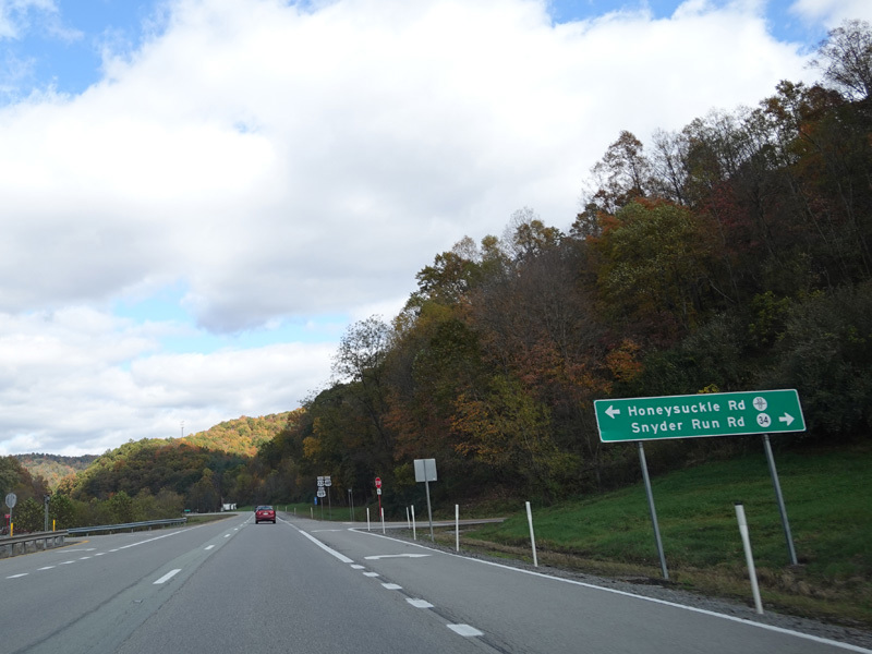
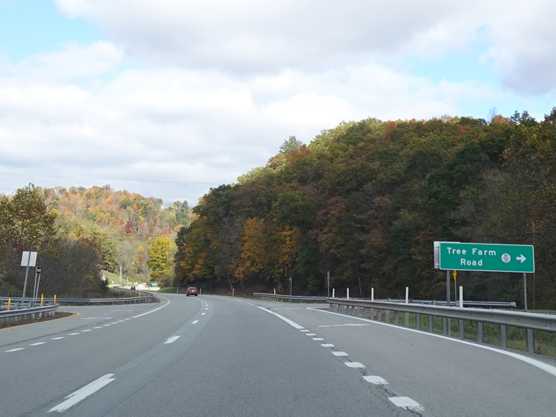
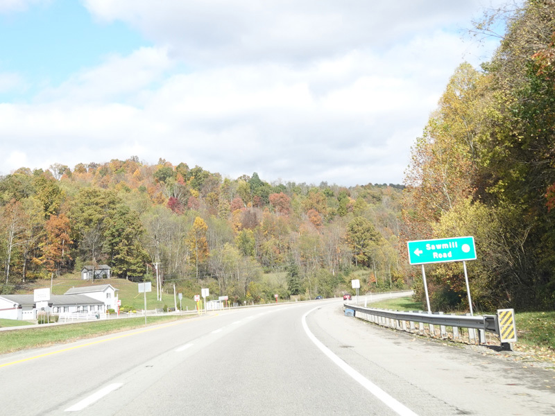
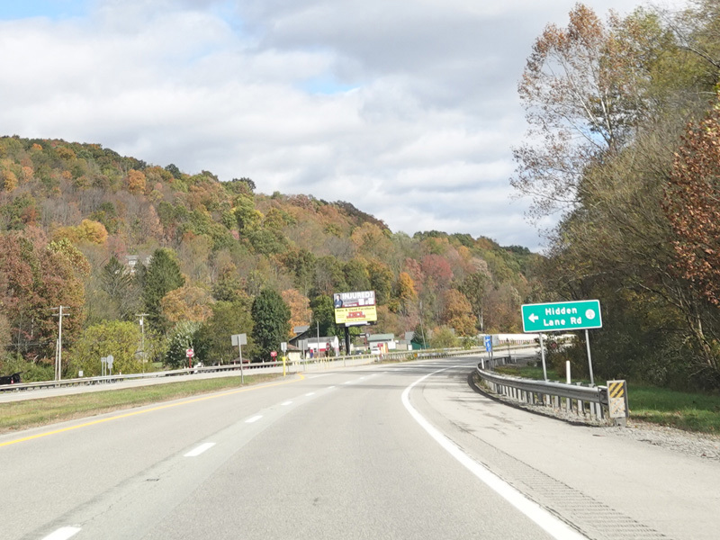
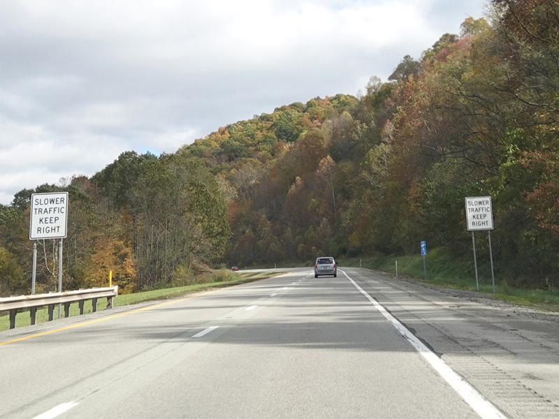
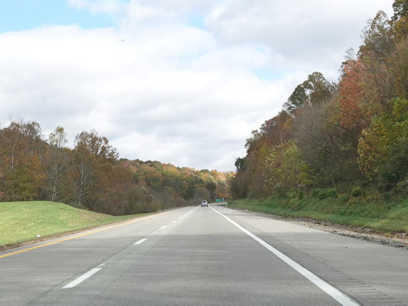
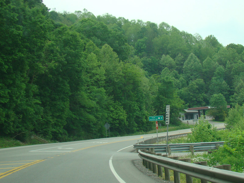
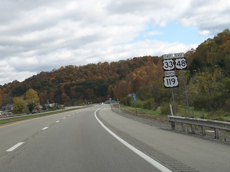
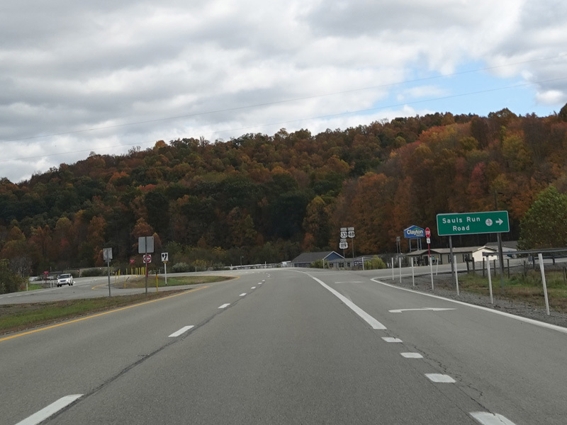
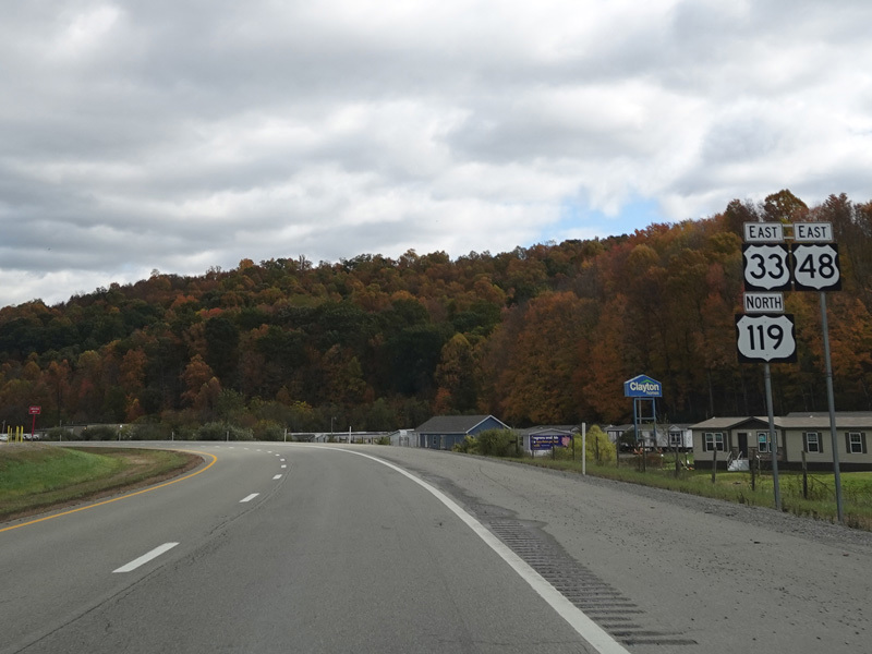
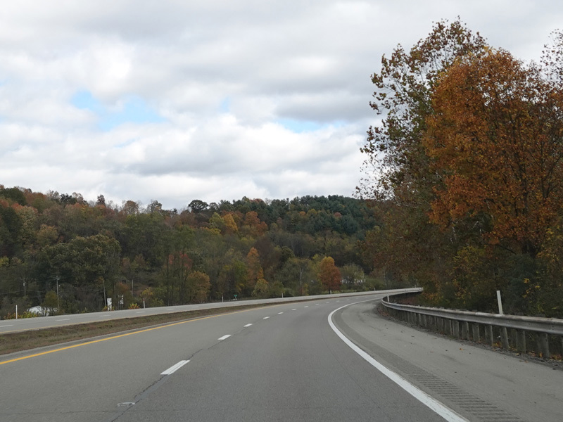
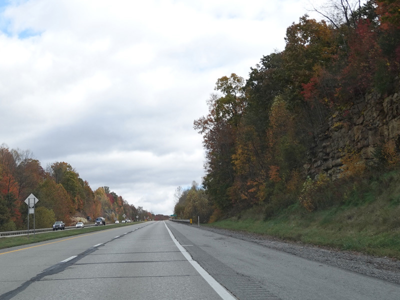
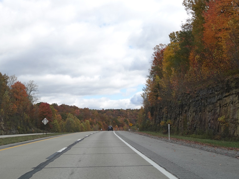
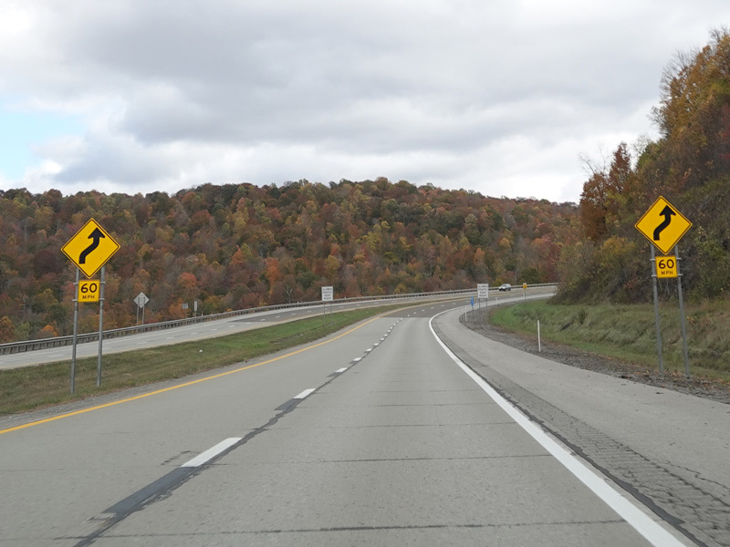
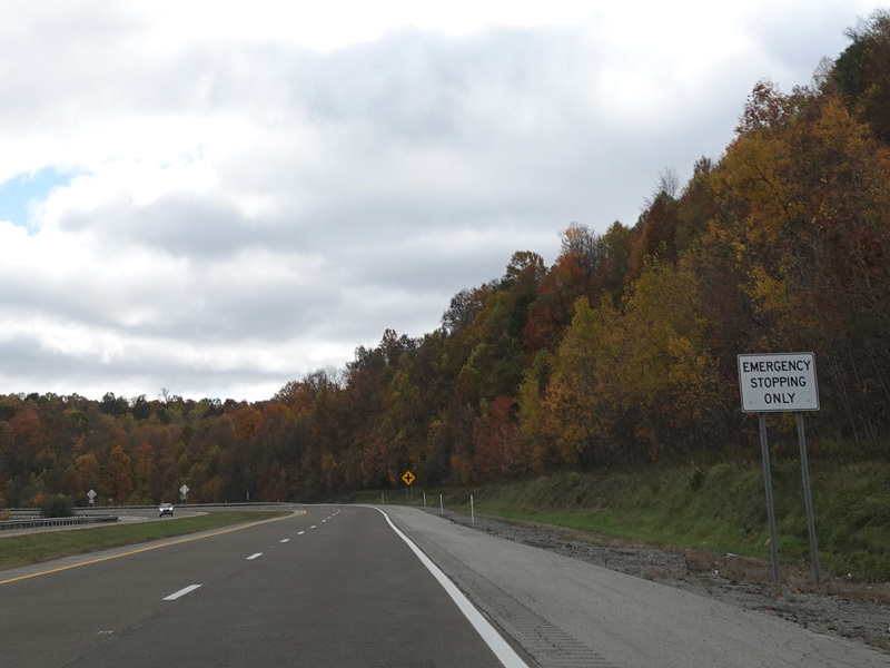
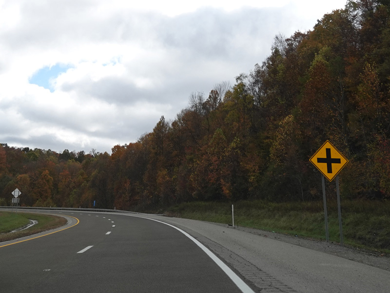
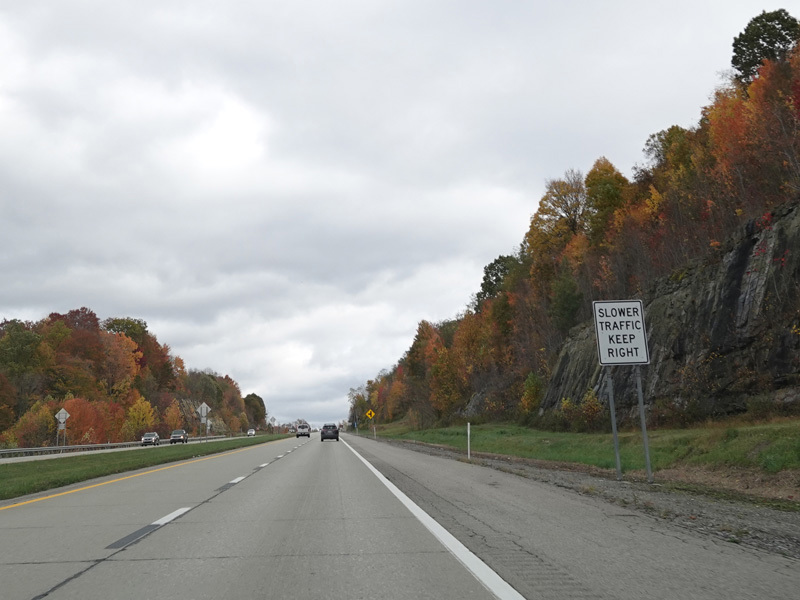
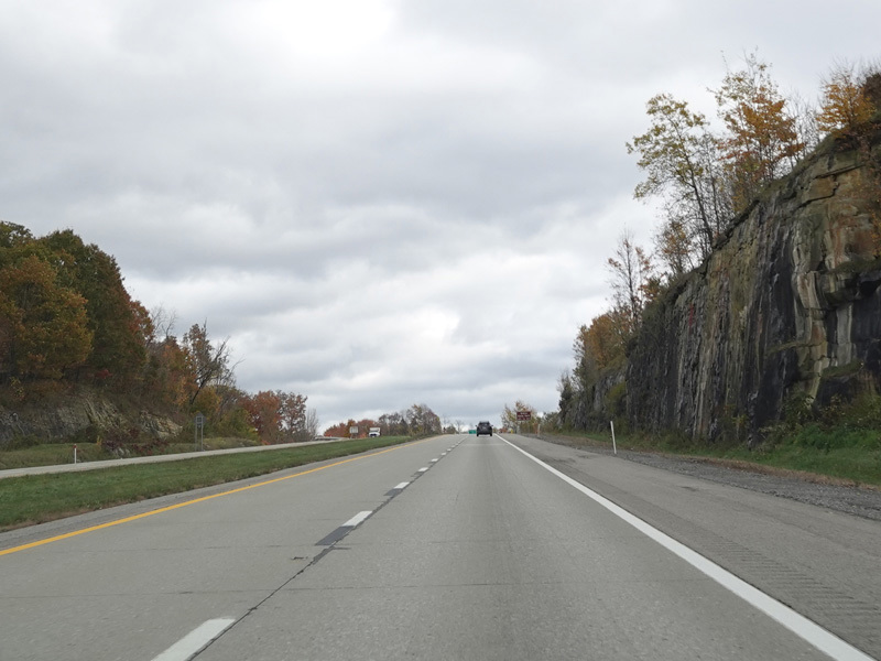
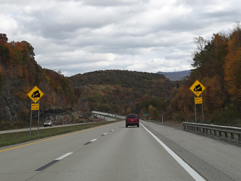
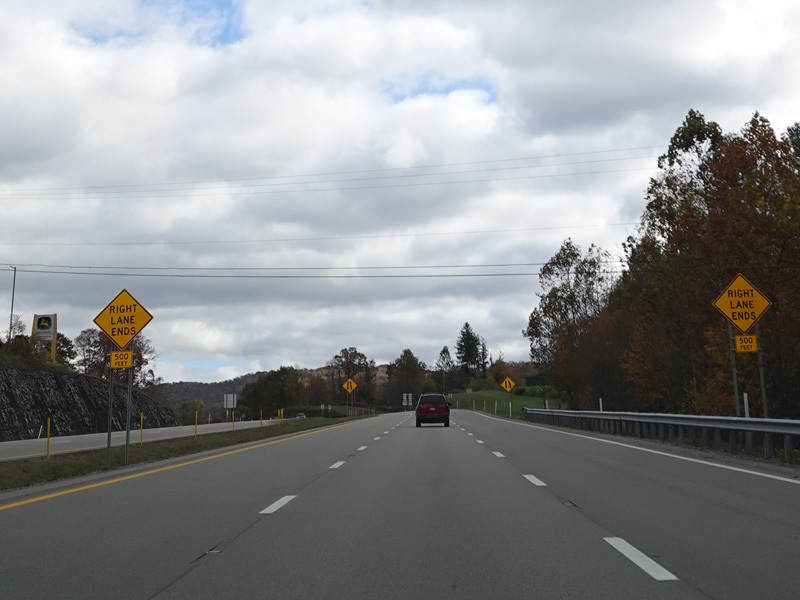
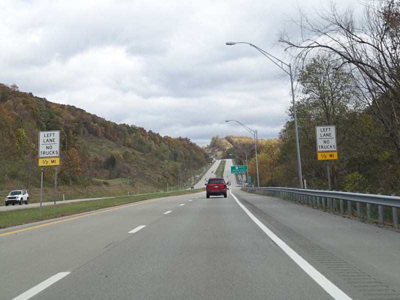
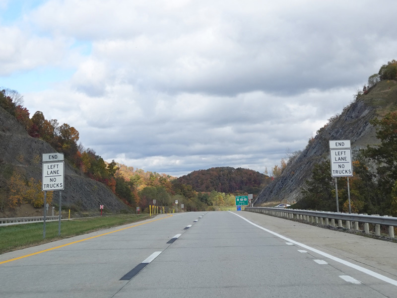
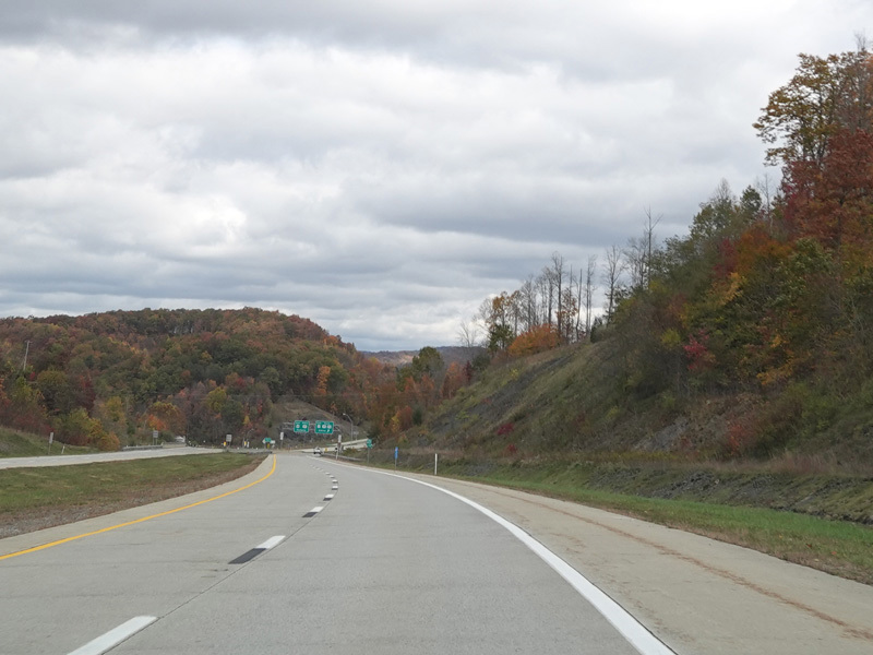
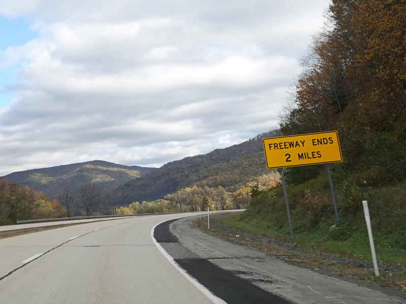
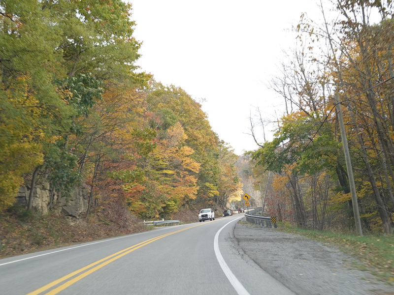
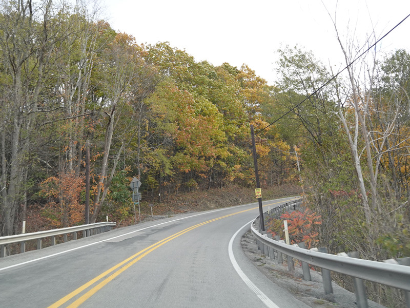
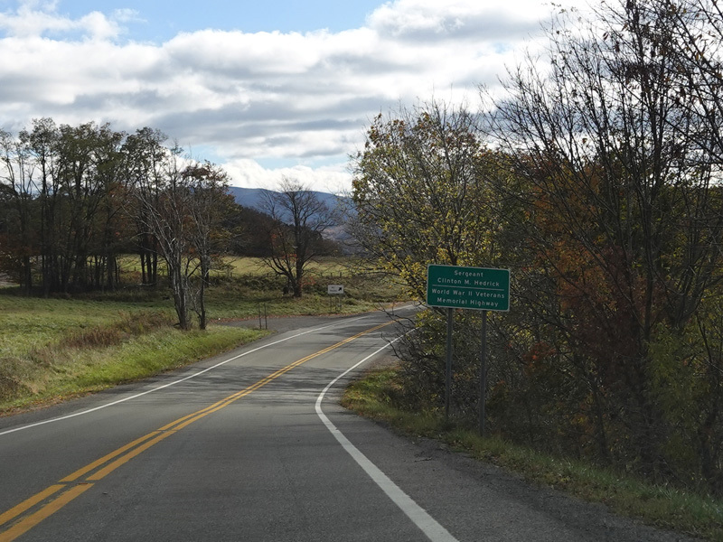
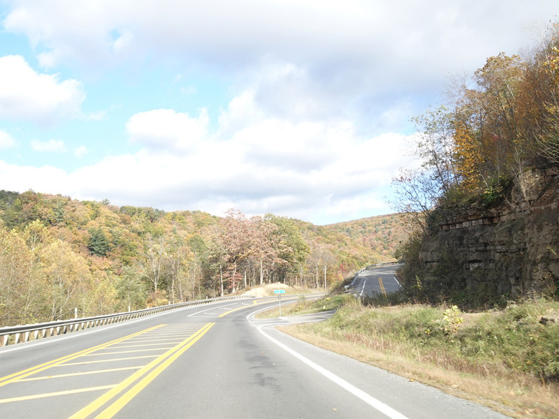
Corridor H runs west as a four-lane divided highway. There are at-grade intersections at Hinzman Street, Grass Run Road (CR 33/3), Glady Fork Road (CR 119/18), Sunset Drive (CR 119/33), Gaston Road (CR 33/3), Sauls Run Road (CR 119/21), Horner Road (CR 33/3), Georgetown Road (CR 15), Wilson Siding Road (CR 119/22), Beech Lick Road (CR 119/24), Honeysuckle Road (CR 33/17), Snyder Run Road (CR 34), Tree Farm Road (CR 119/30), Sawmill Road (CR 33/15), and Hidden Lane Road (CR 33/4).
Photos taken October 2023.
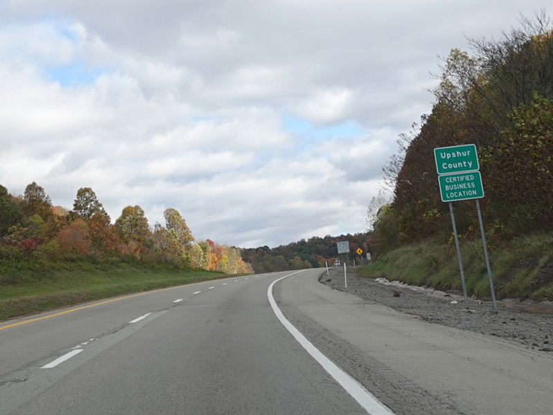
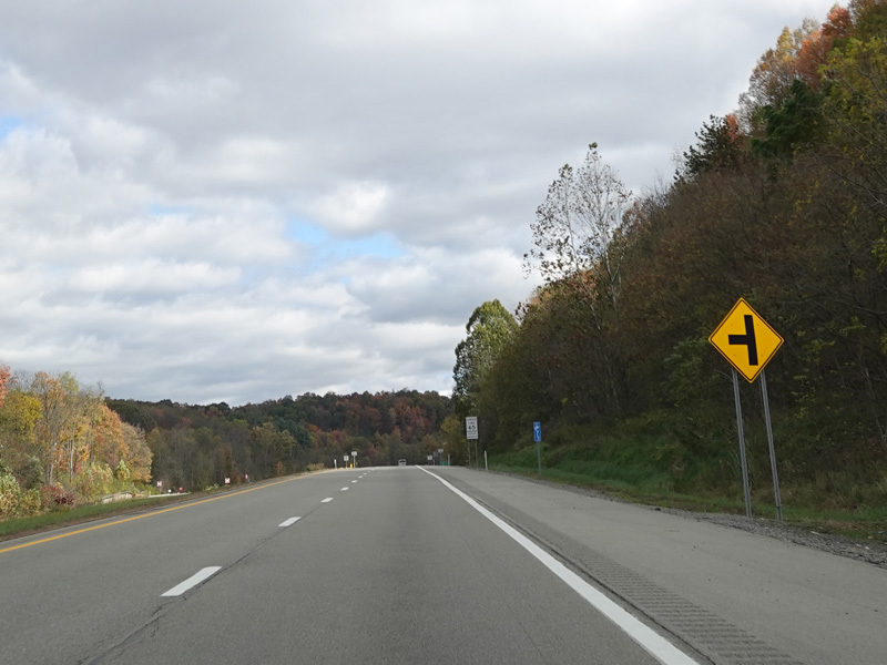
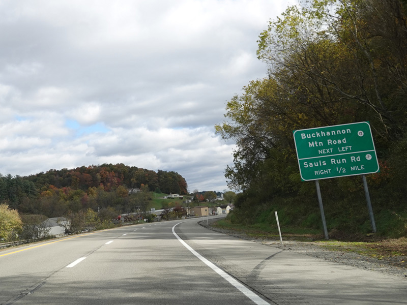
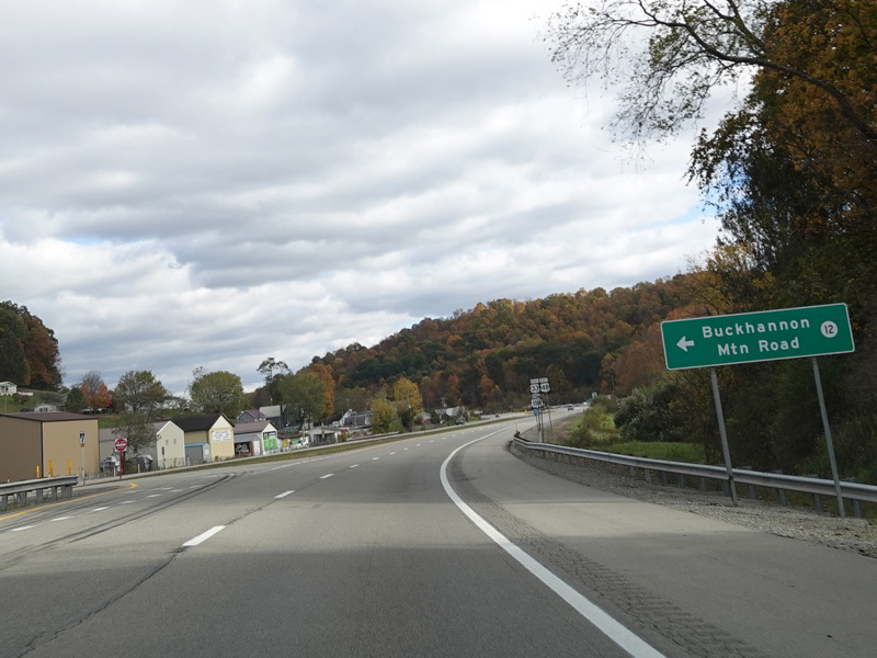
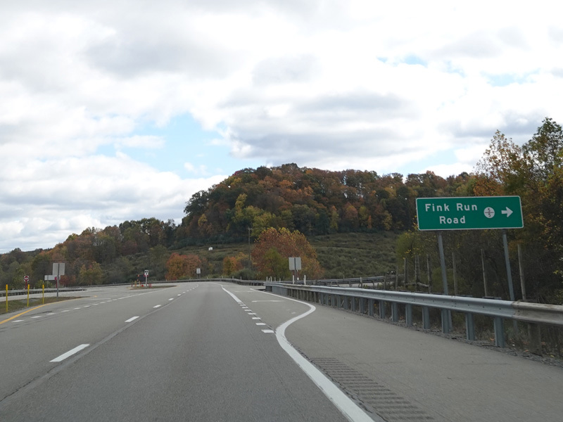
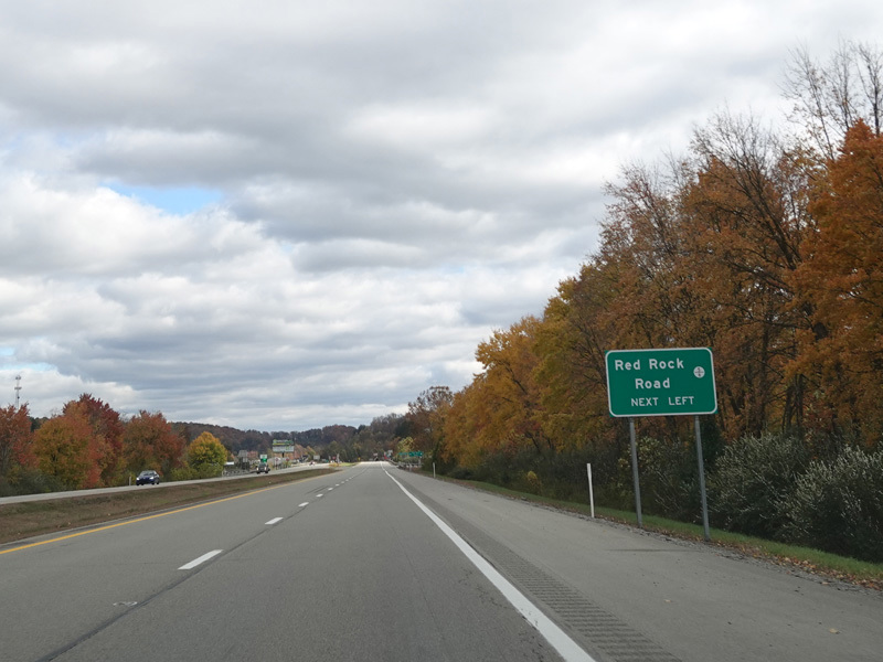
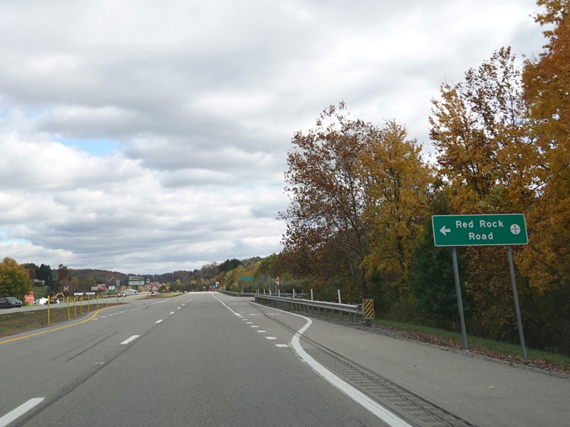
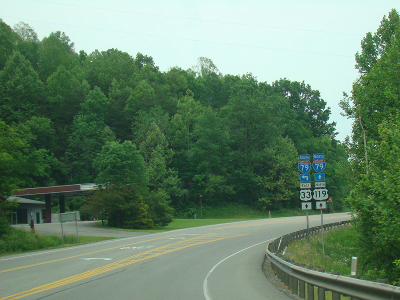
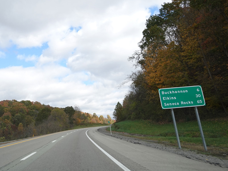
Welcome to Upshur County! There are at-grade intersections at Buckhannon Mountain Road (CR 12), Sauls Run Road (CR 5/1), Fink Run Road (CR 5/5), and Red Rock Road (CR 5/6).
Photos taken October 2023.
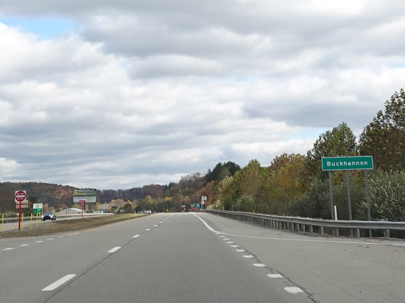
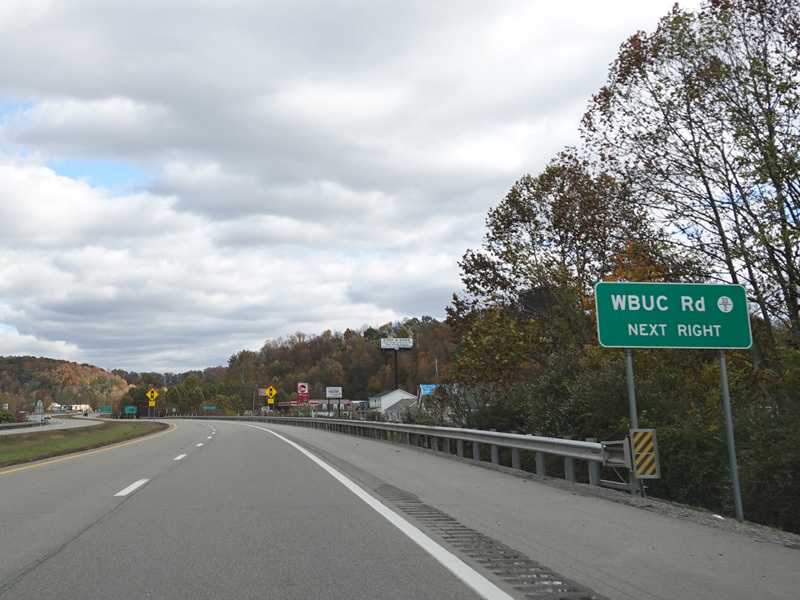

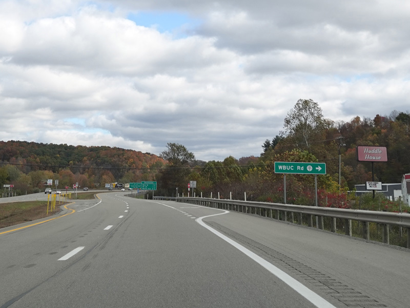
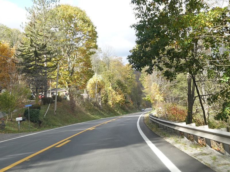
Welcome to Buckhannon! There is an at-grade intersection at WBUC Road (CR 33/2).
Photos taken October 2023.
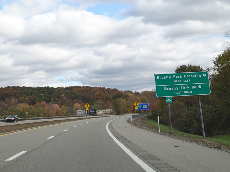
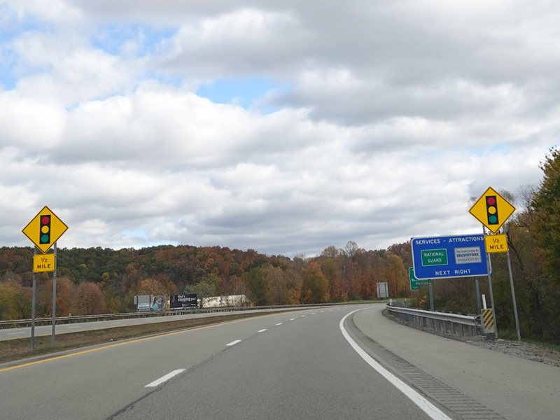
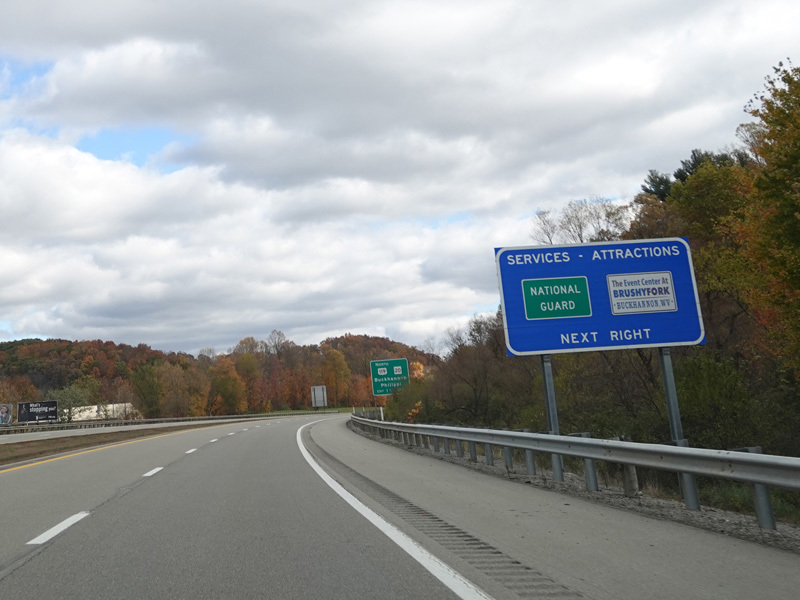
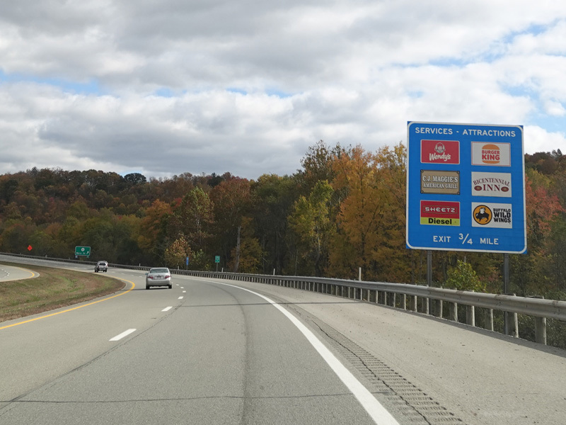
There is a traffic light at Brushy Fork Crossing (CR 7) and Brushy Fork Road (CR 7).
Photos taken October 2023.
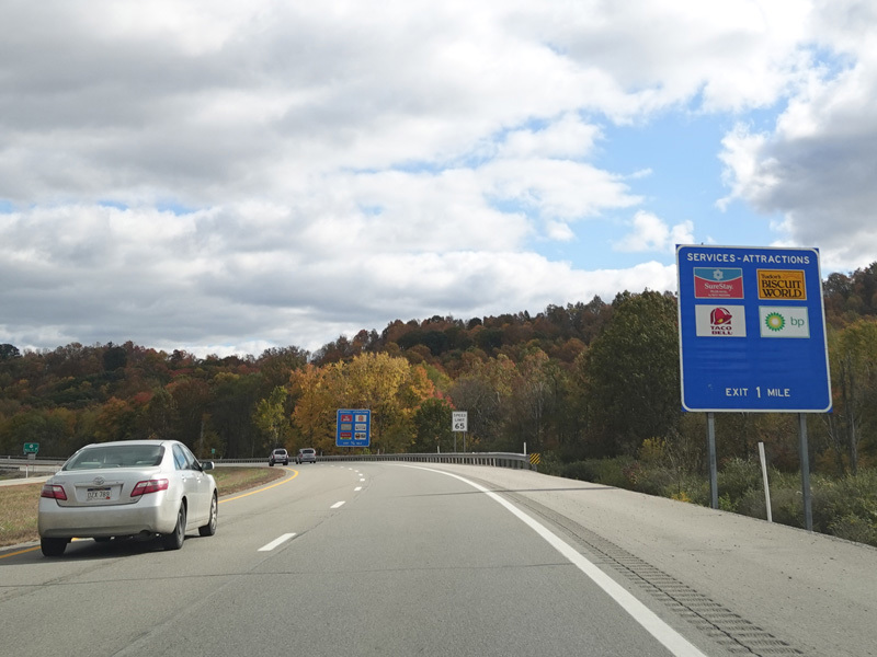
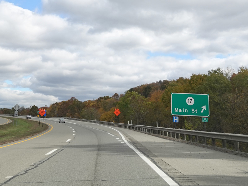
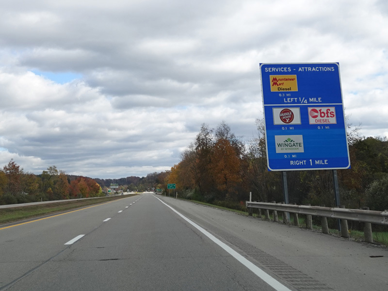
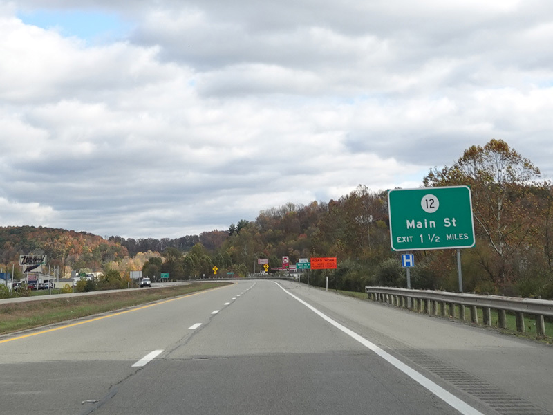
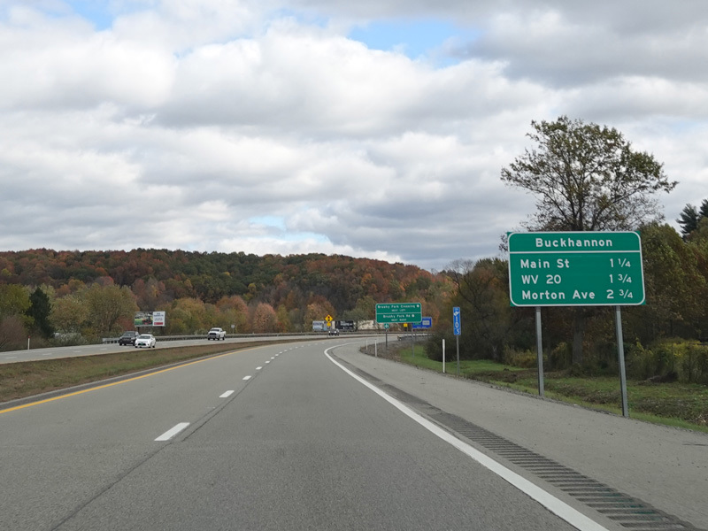
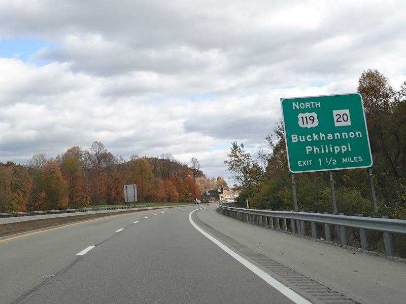
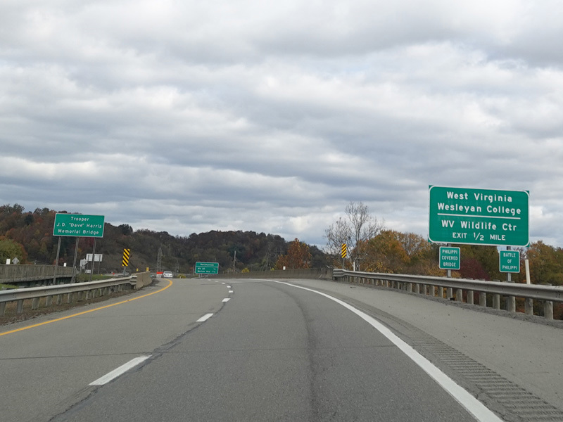
There is an exit for Main Street (CR 12).
Photos taken October 2023.
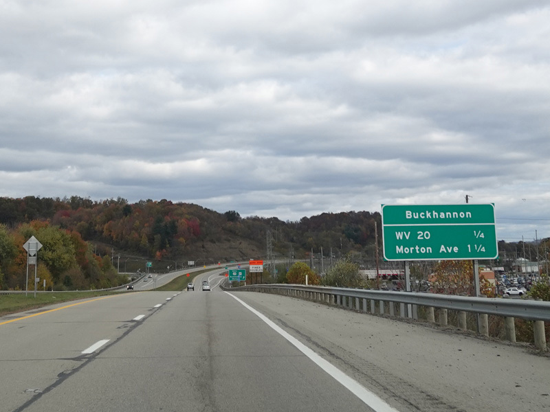
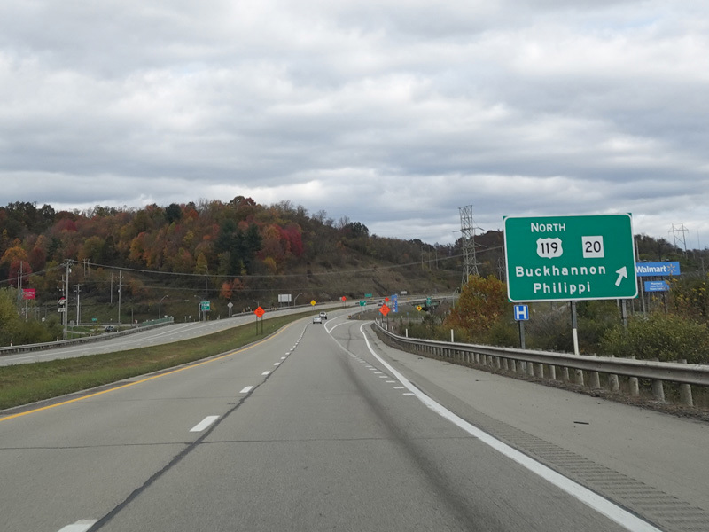
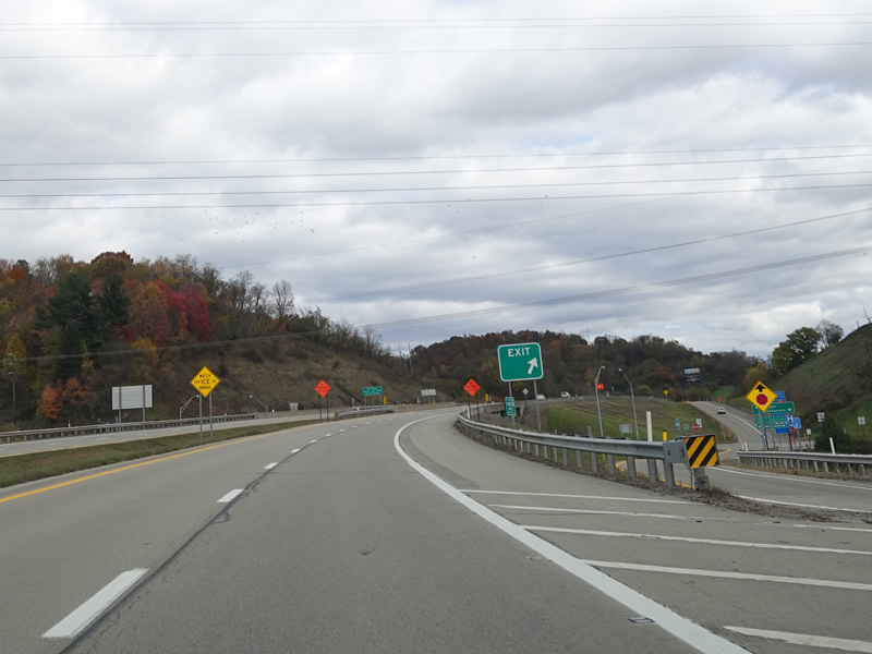
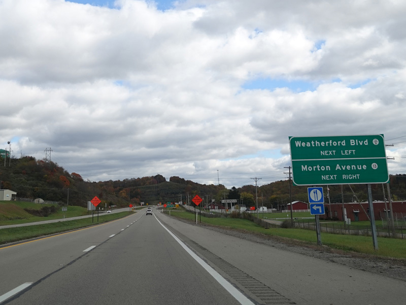
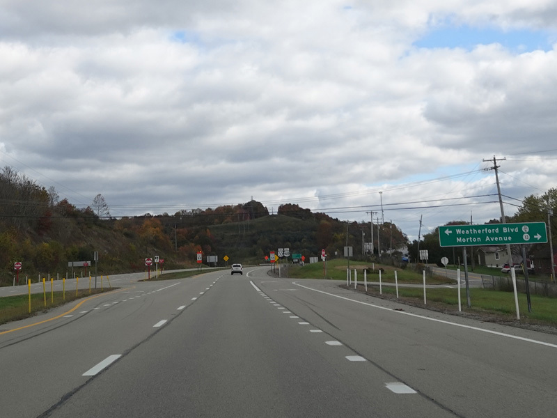

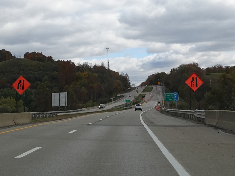
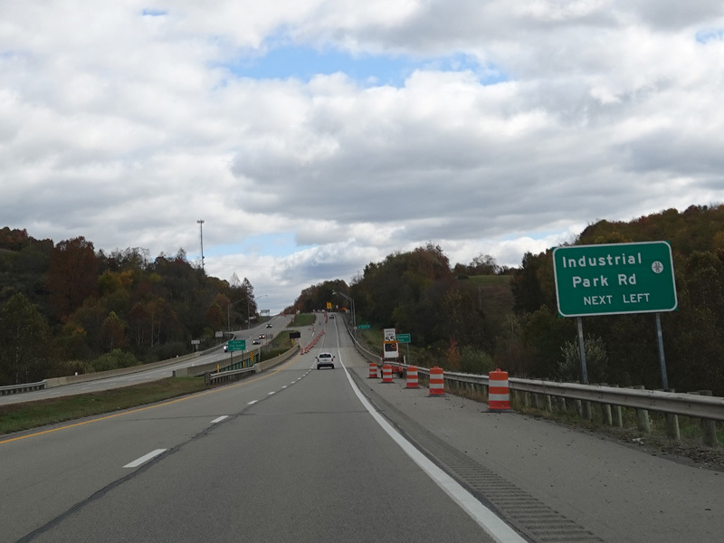
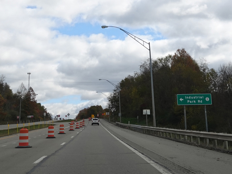
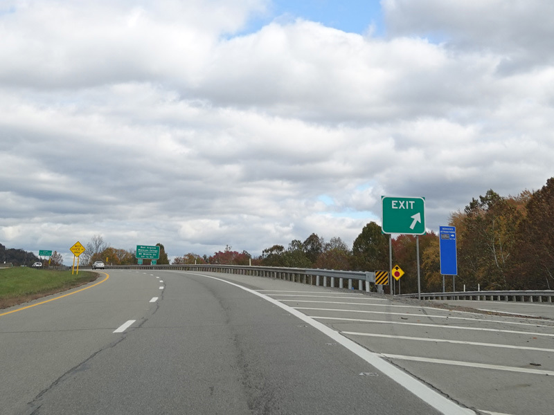
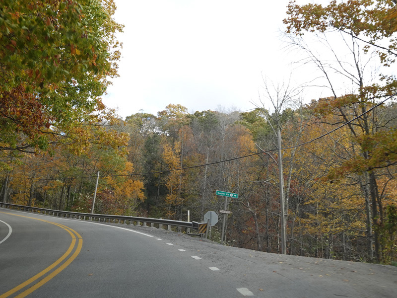
There are uncontrolled at-grade intersections at Weatherford Boulevard (CR 33/16), Morton Avenue (CR 13), and Industrial Park Road (CR 33/15).
Photos taken October 2023.
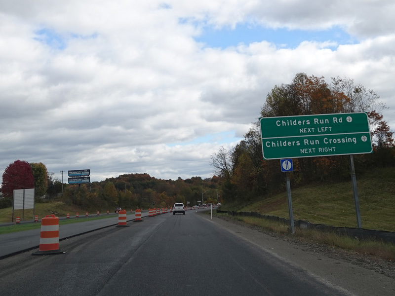
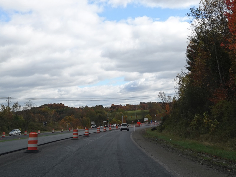
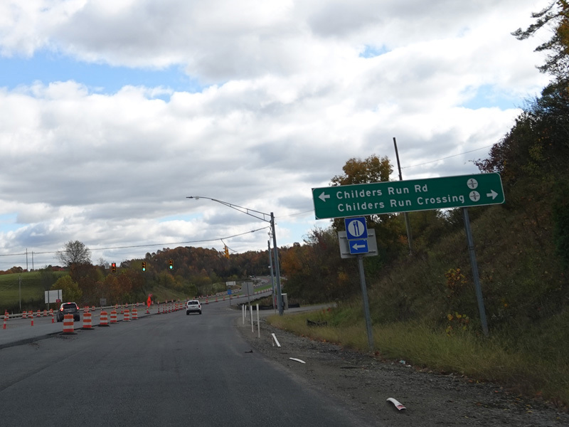
There is a traffic light at Childers Run Road (CR 5/9) and Childers Run Crossing (CR 5/9).
Photos taken October 2023.
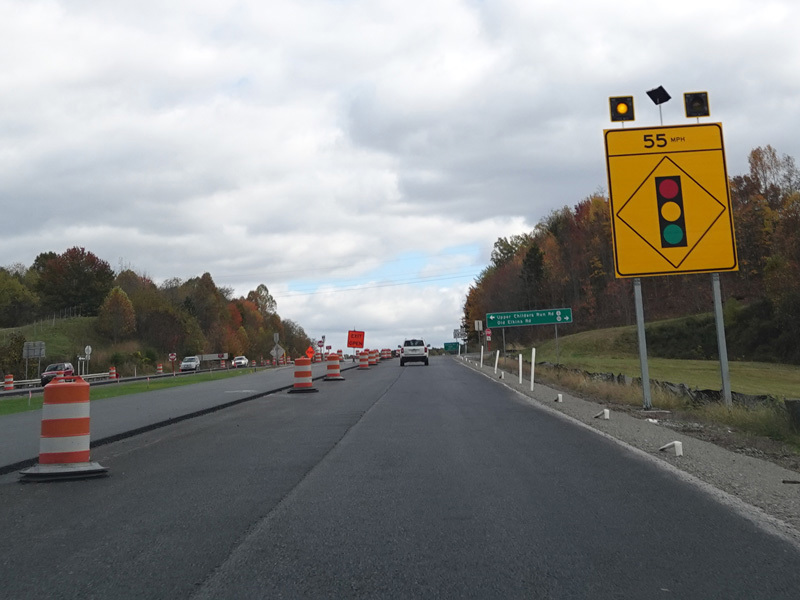
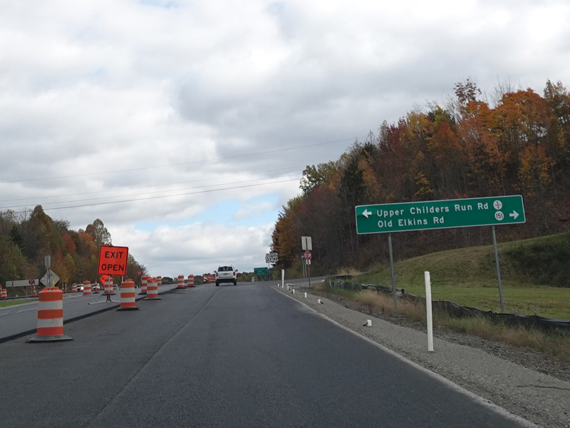
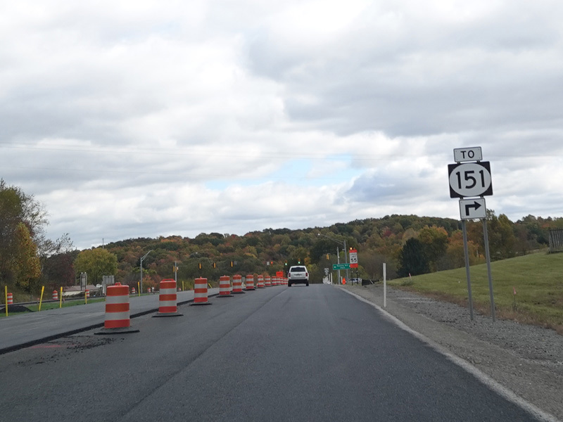
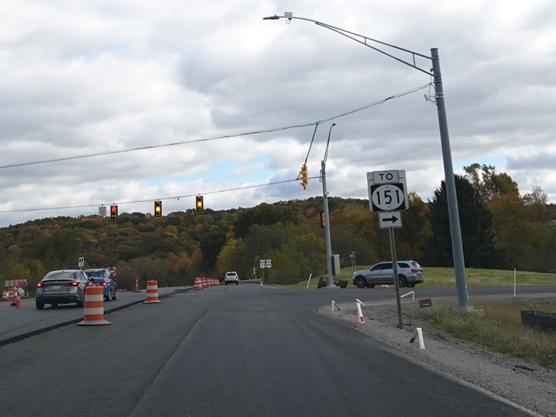
There is an uncontrolled at-grade intersection at Upper Childers Run Road (CR 5/11) and Old Elkins Road (CR 151).
Photos taken October 2023.
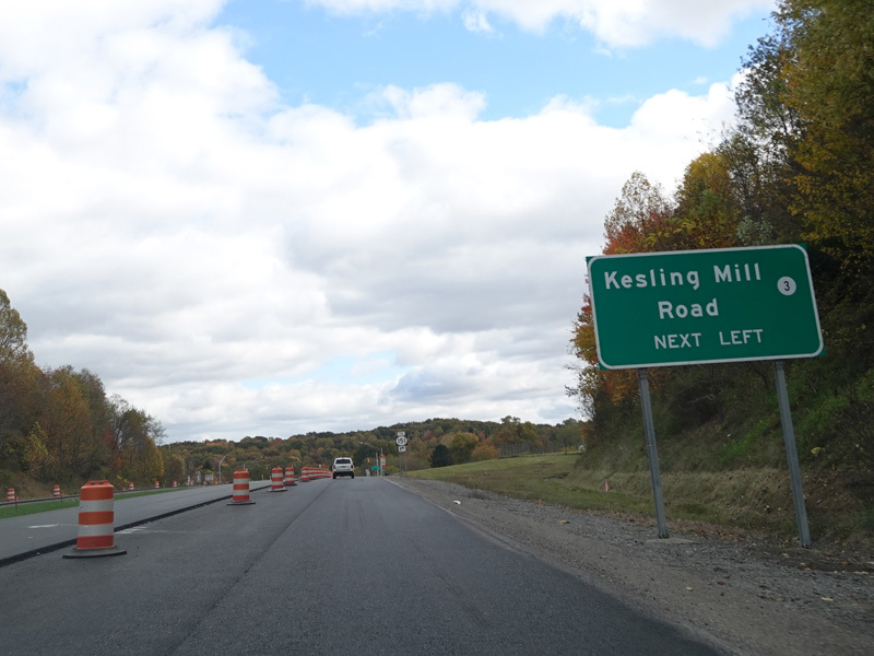
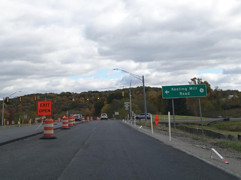
There is a traffic light at Kesling Mill Road (CR 3).
Photos taken October 2023.
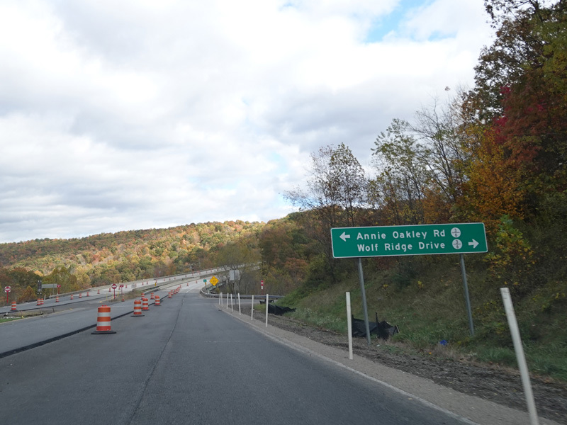
There is an uncontrolled at-grade intersection at Annie Oakley Road (CR 3/6) and Wolf Ridge Drive (CR 3/6).
Photos taken October 2023.
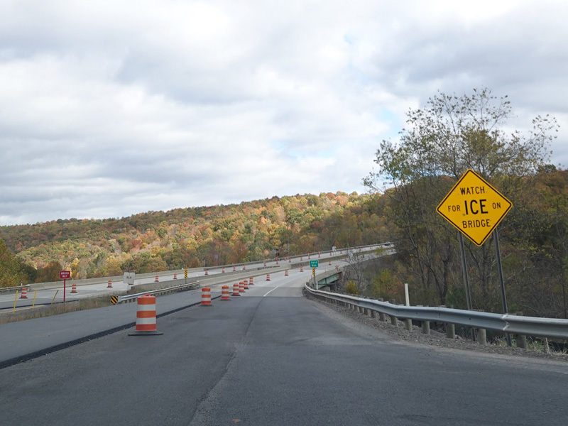
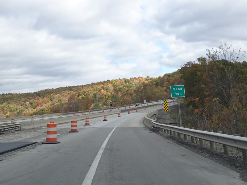
There is a bridge over Sand Run.
Photos taken October 2023.
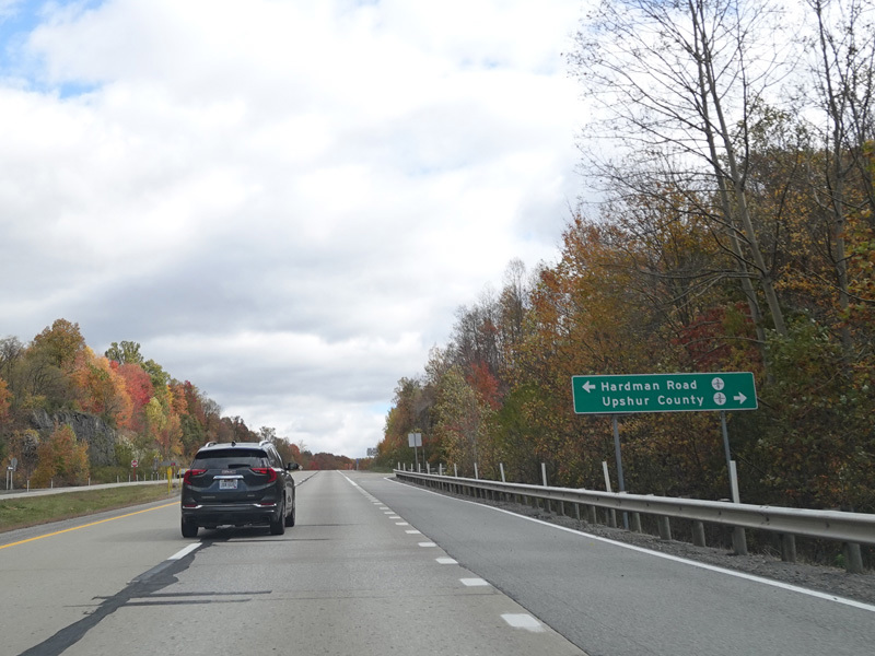
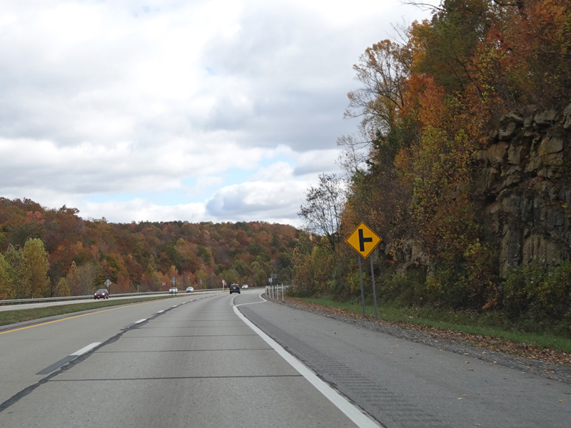
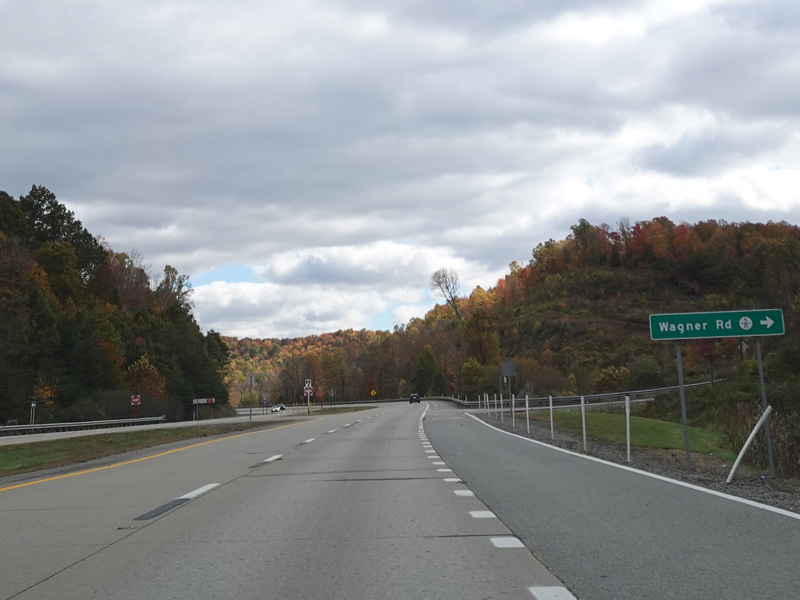
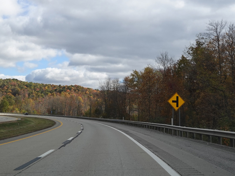
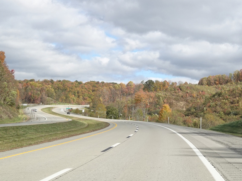
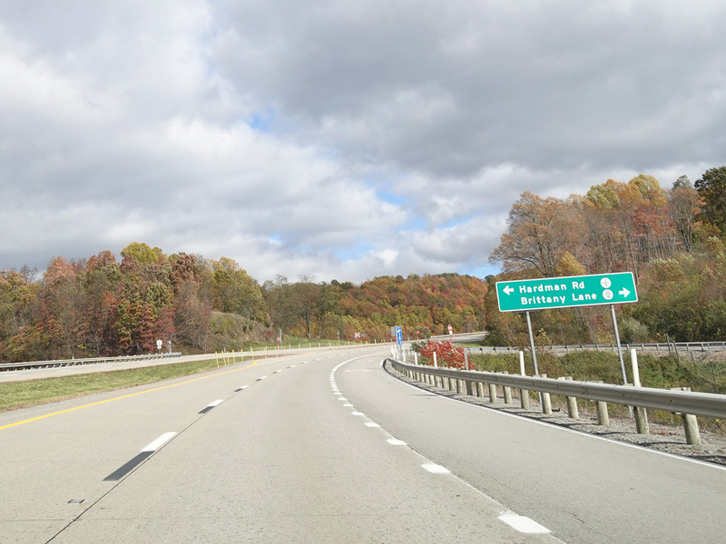
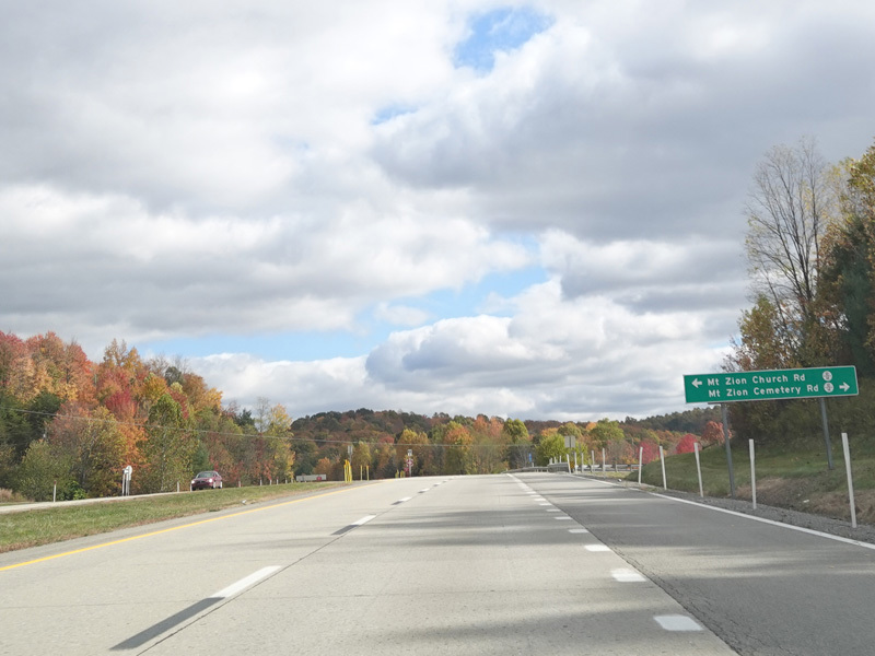
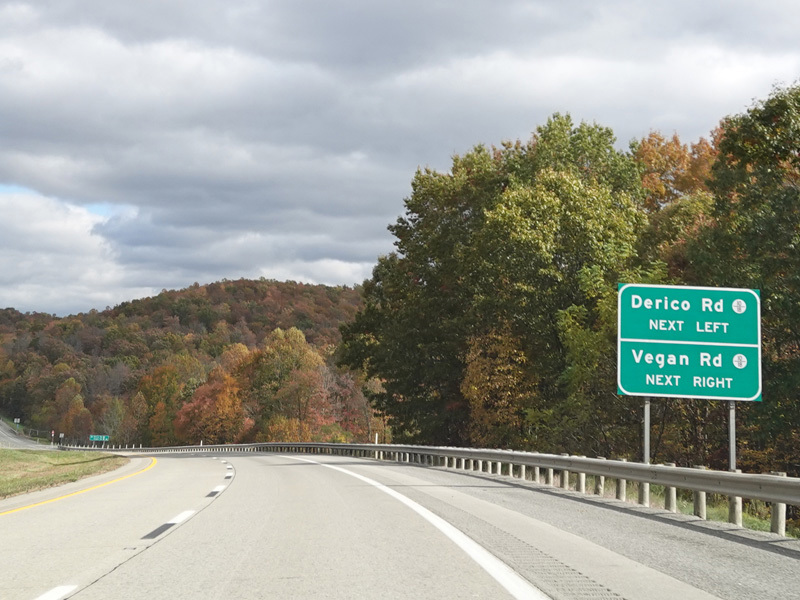
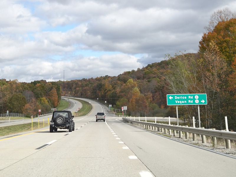
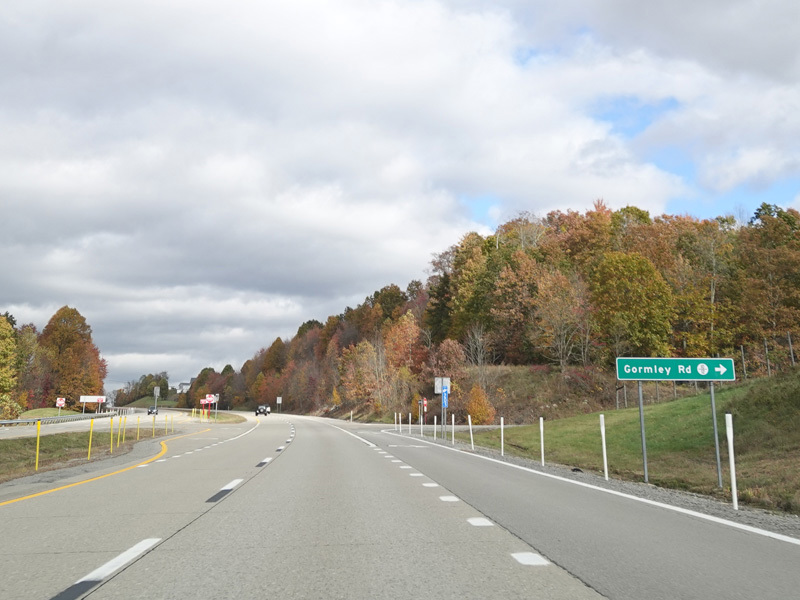
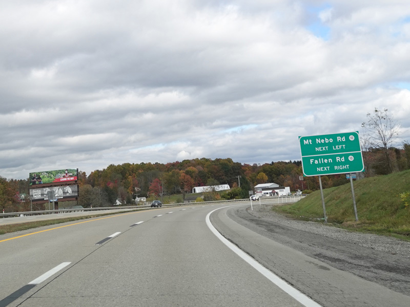
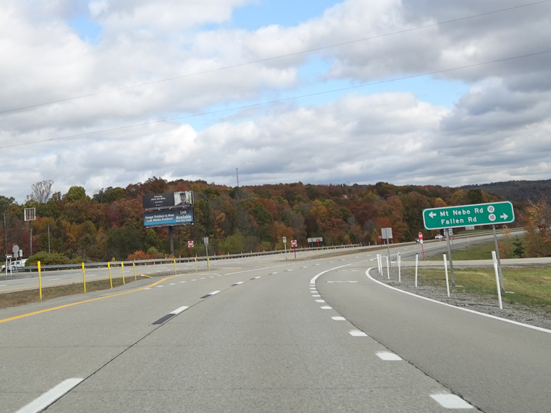
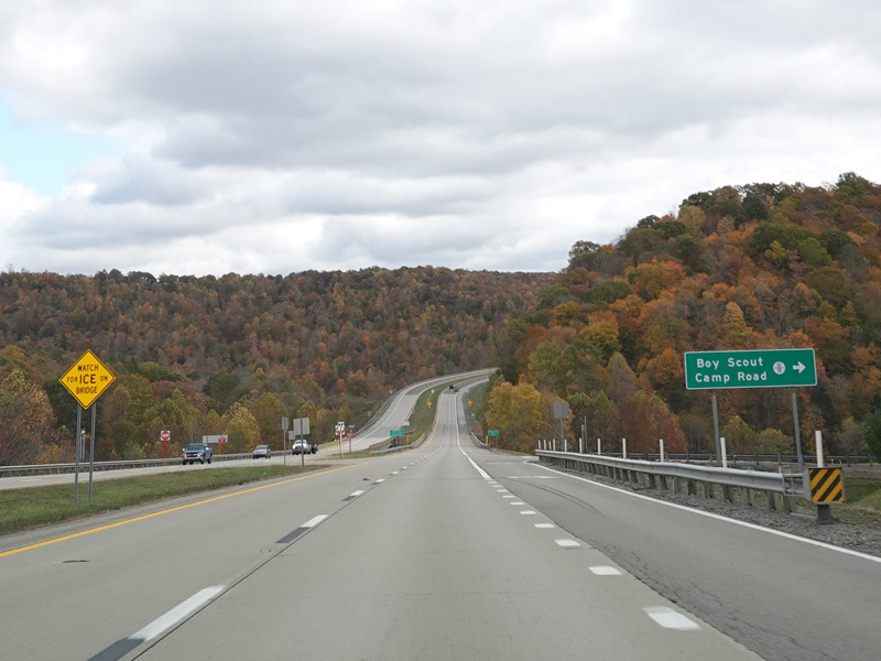
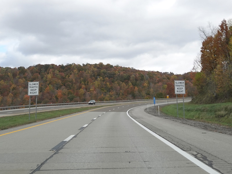
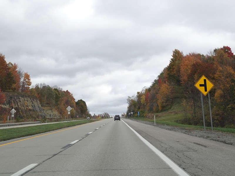
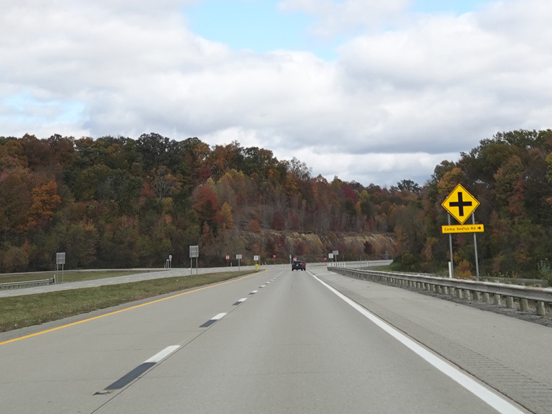
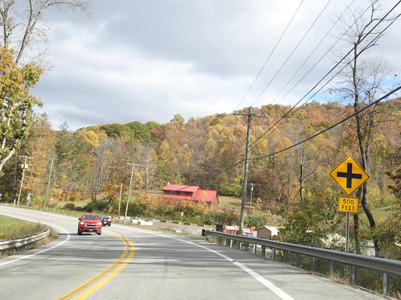
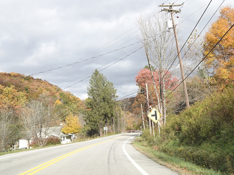
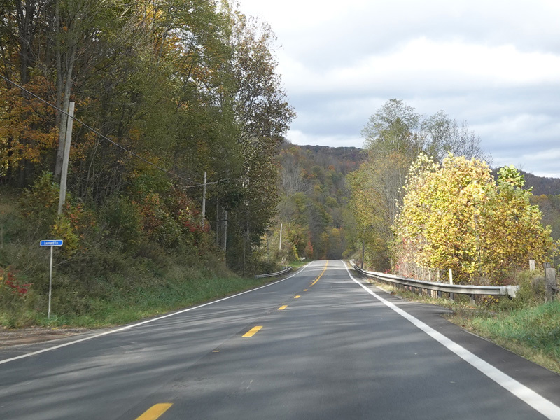
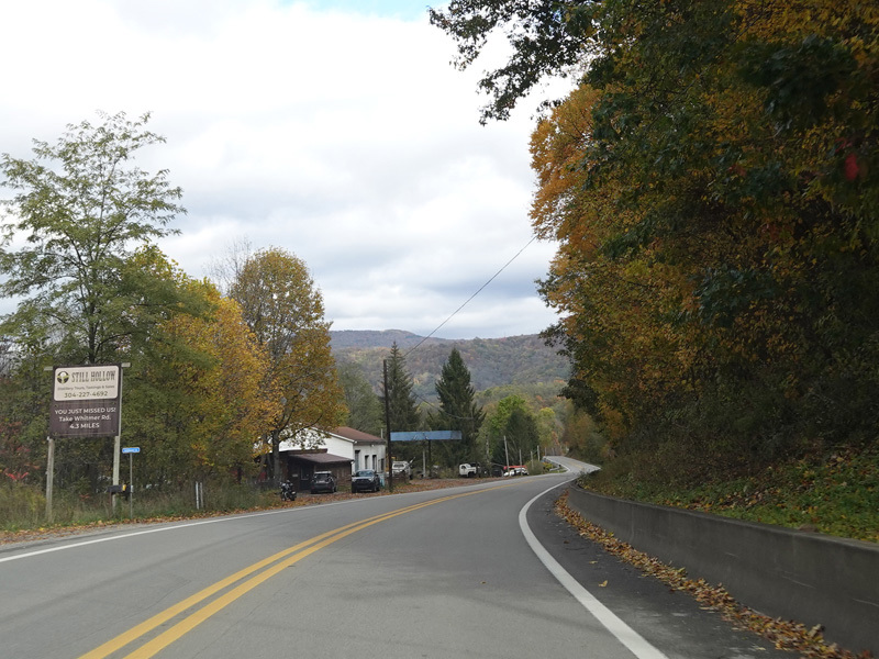
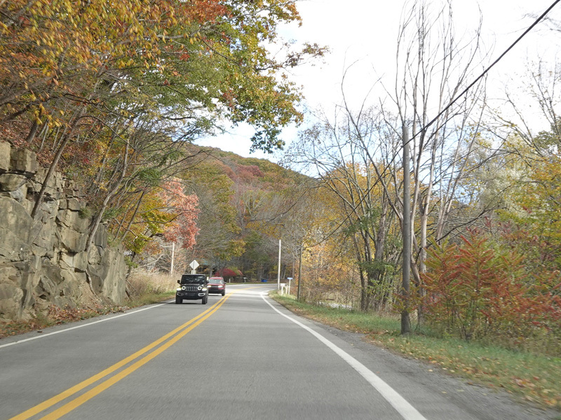
There are uncontrolled at-grade intersections at Hardman Road (CR 3/9), Wagner Road (CR 5/15), Brittany Lane (CR 33/16), Mount Zion Church Road (CR 10/14), Mount Zion Cemetery Road (CR 10/14), Derico Road (CR 10/18), Vegan Road (CR 10/18), Gormley Road (CR 10/12), Mount Nebo Road (CR 10), Fallen Road (CR 10), and Boy Scout Camp Road (CR 10/19).
Photos taken October 2023.
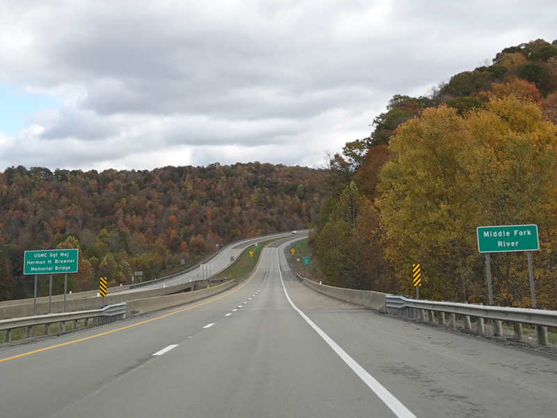
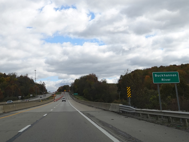
There is a bridge over the Middle Fork River.
Photo taken October 2023.
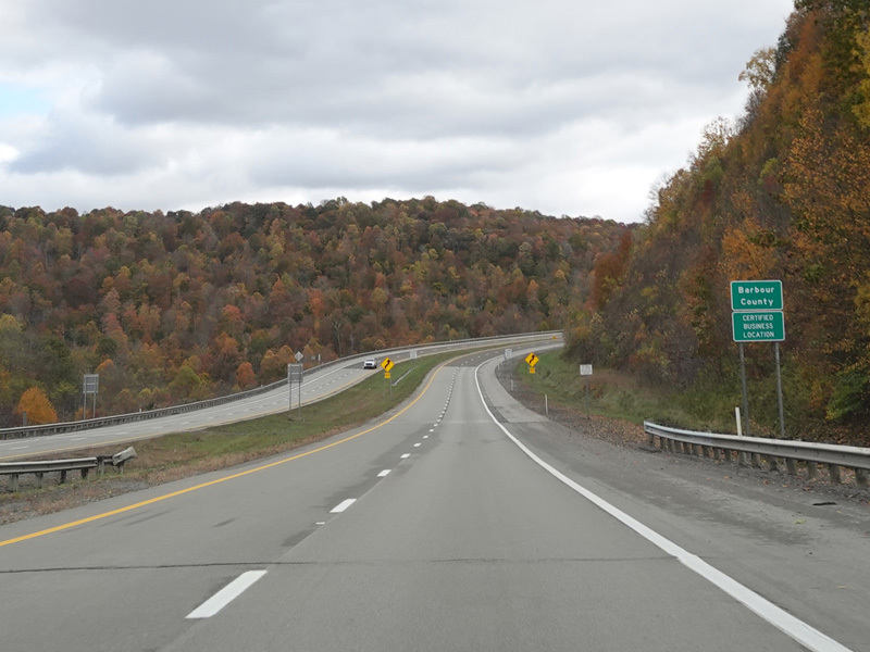
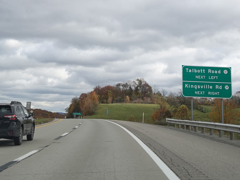
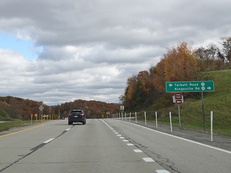
Welcome to Barbour County! There is an uncontrolled at-grade intersection at Talbott Road (CR 17) and Kingsville Road (CR 19).
Photos taken October 2023.
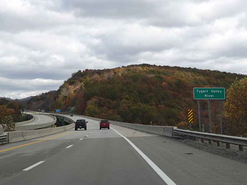
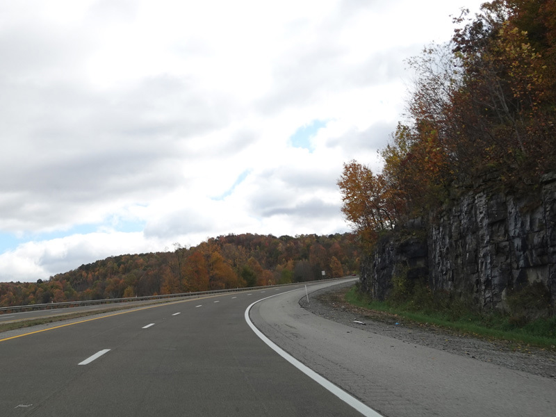
There is a bridge over the Tygart Valley River.
Photo taken October 2023.
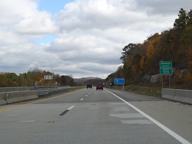

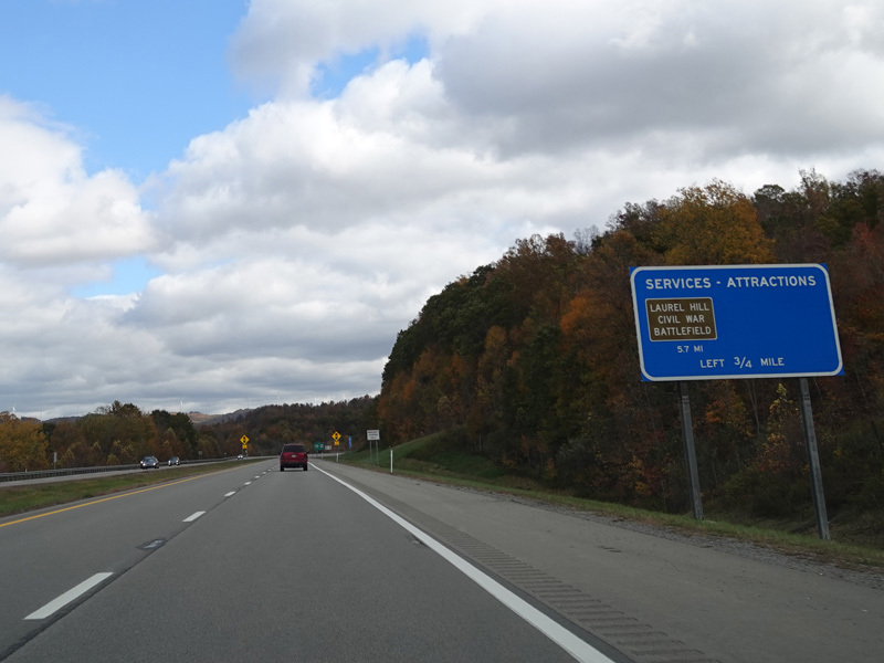
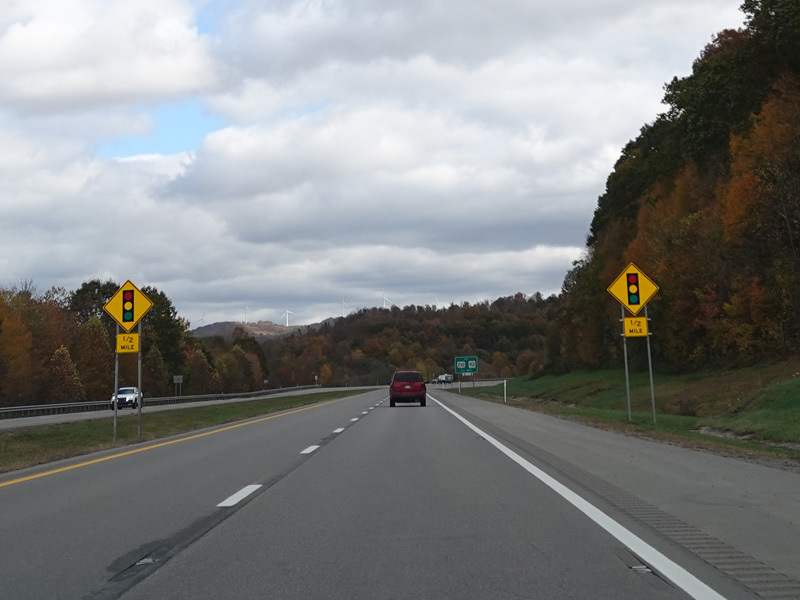
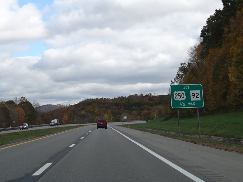
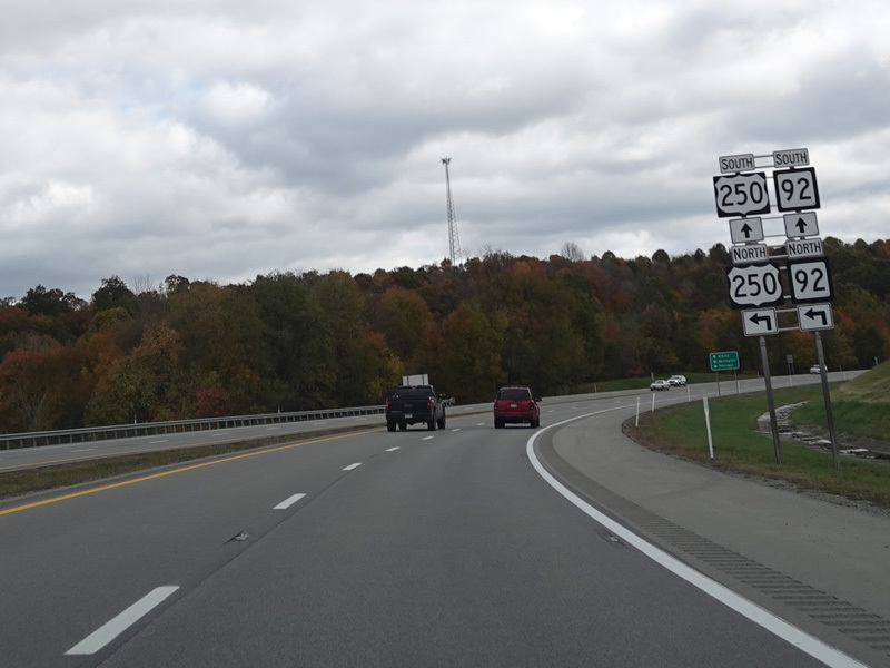
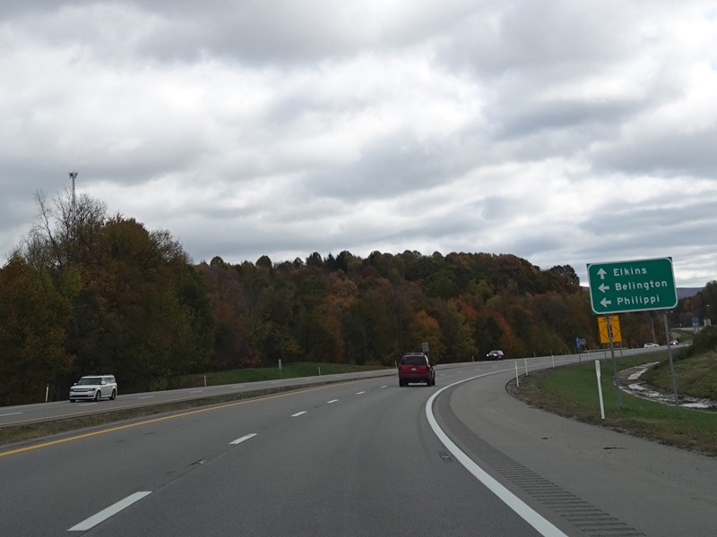
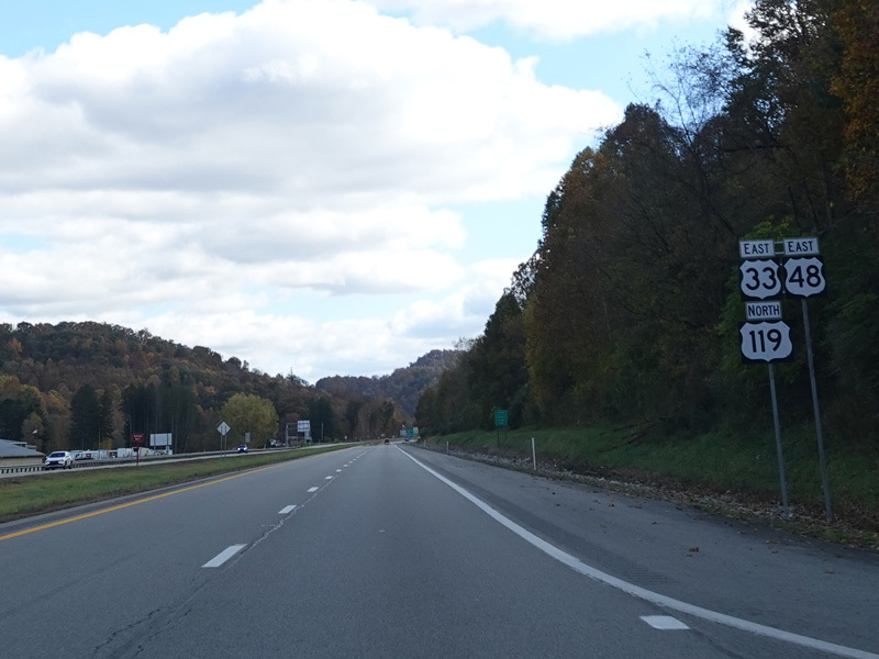
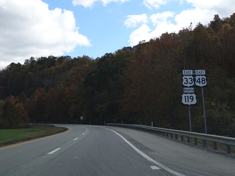
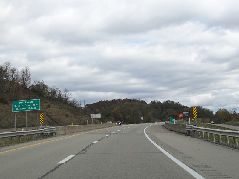
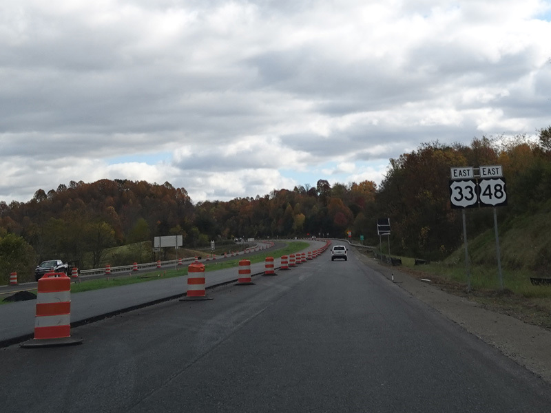
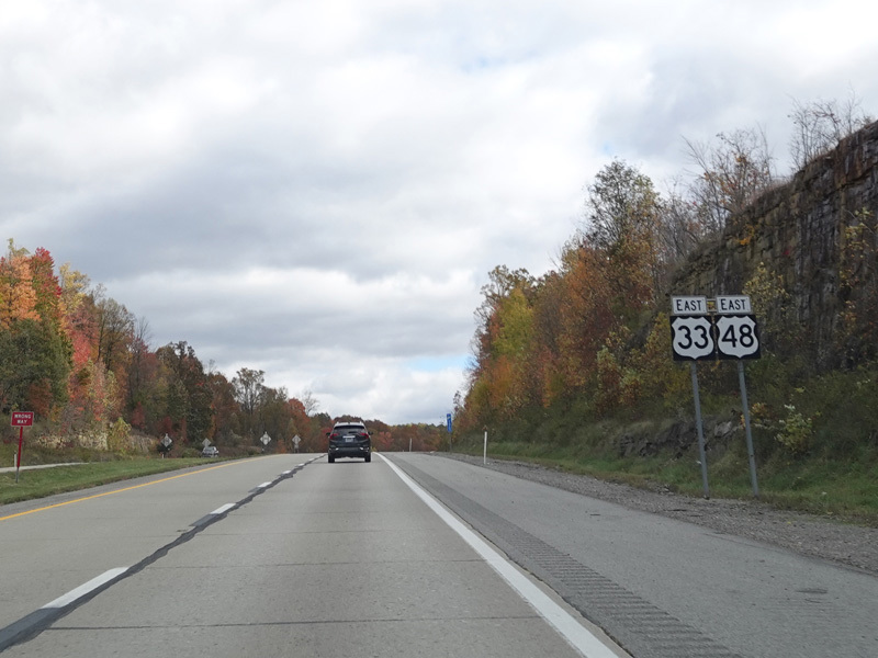
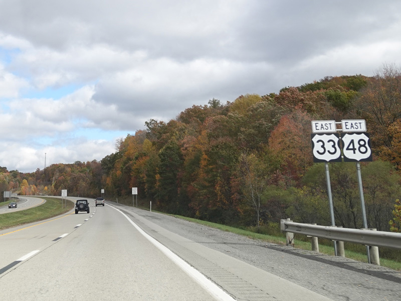
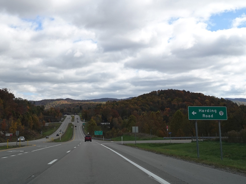
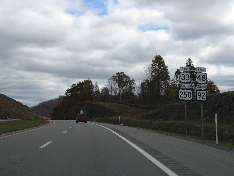
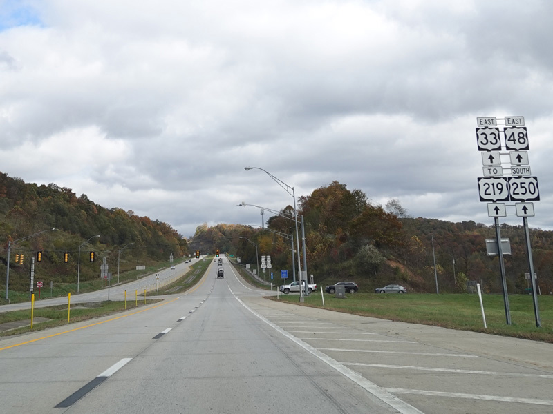
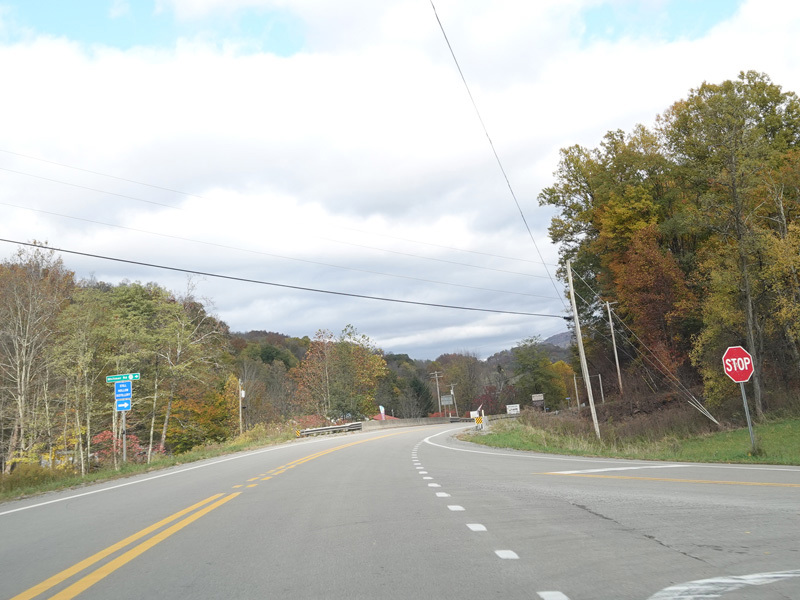
Welcome to Randolph County! Caisson Drive begins on the right at an uncontrolled at-grade intersection. There is a traffic light at US 250/WV 92. Turn left to go north. Southbound US 250/WV 92 is multiplexed with US 33/US 48 along Corridor H straight ahead.
Photos taken October 2023.
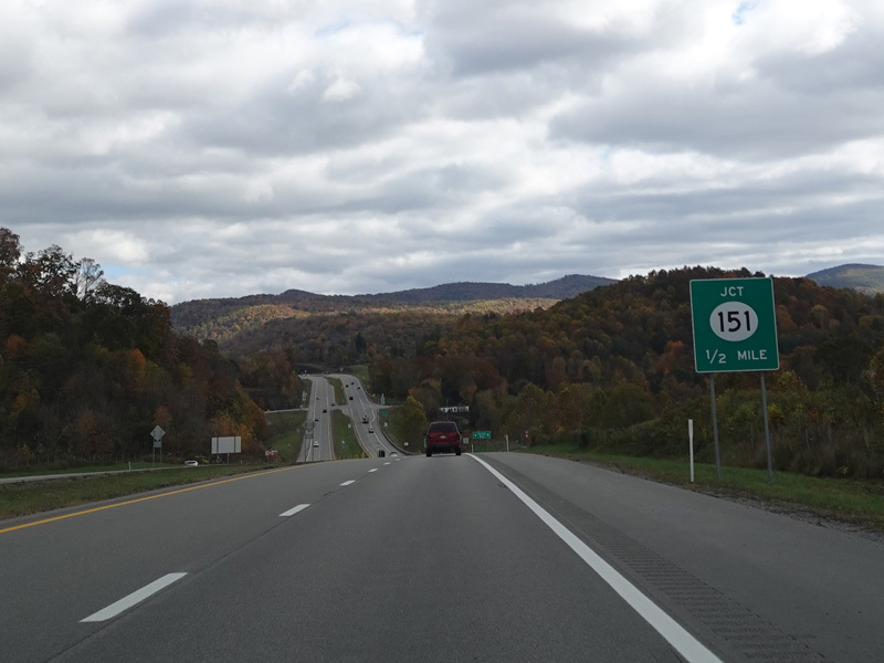
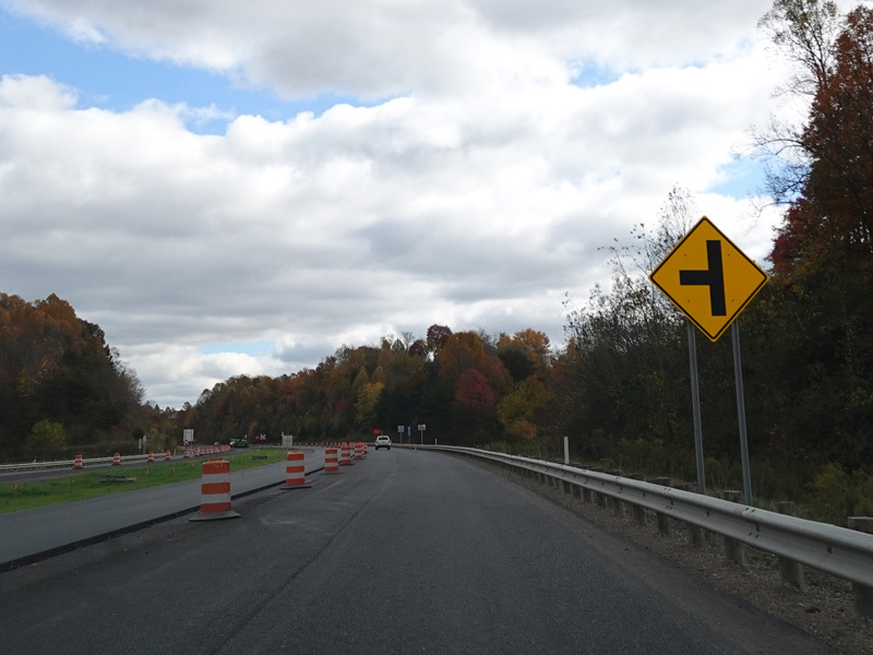
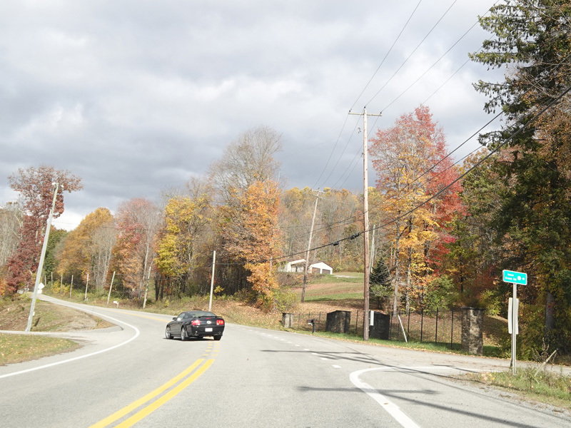
CR 151 begins on the right at an uncontrolled at-grade intersection.
Photos taken October 2023.
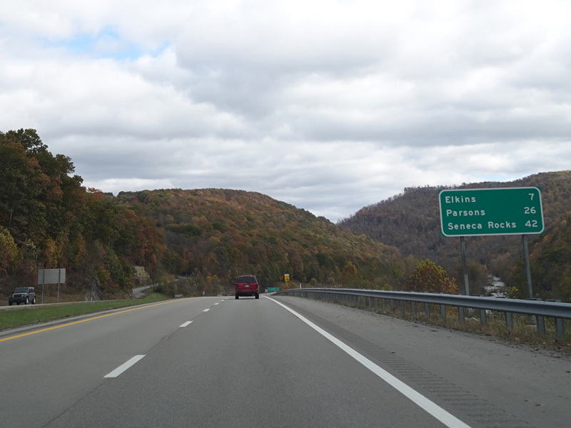
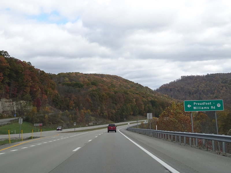
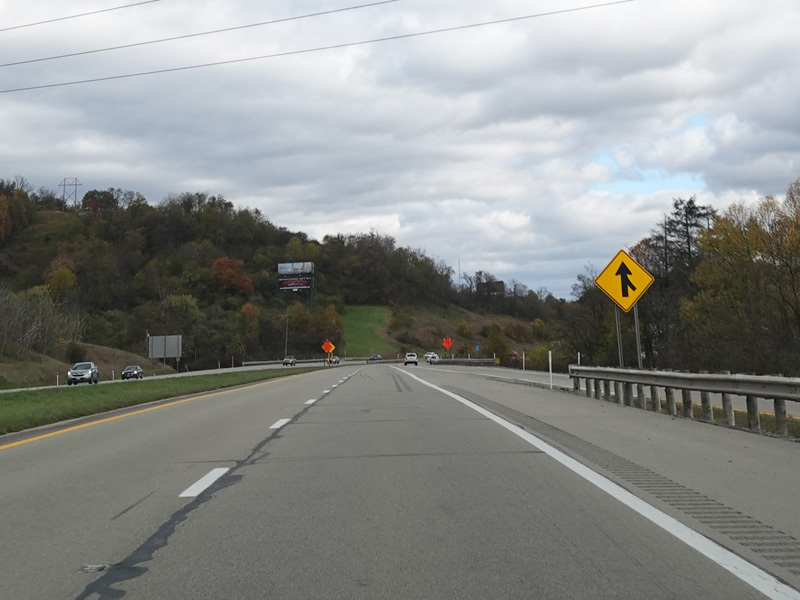
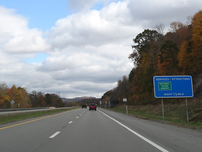
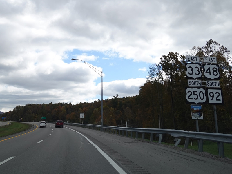
Proudfoot-Williams Road (CR 250/9) begins on the left along this stretch.
Photos taken October 2023.
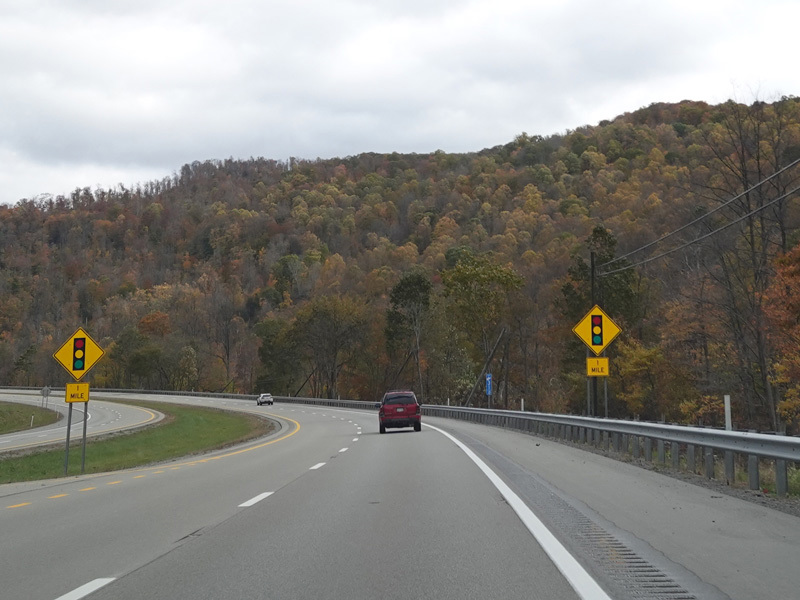
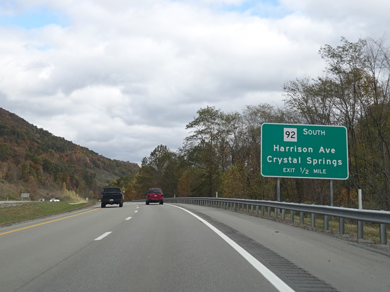
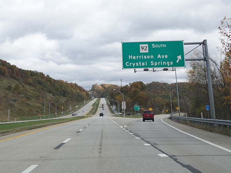
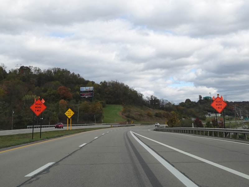
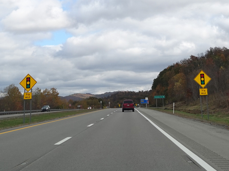
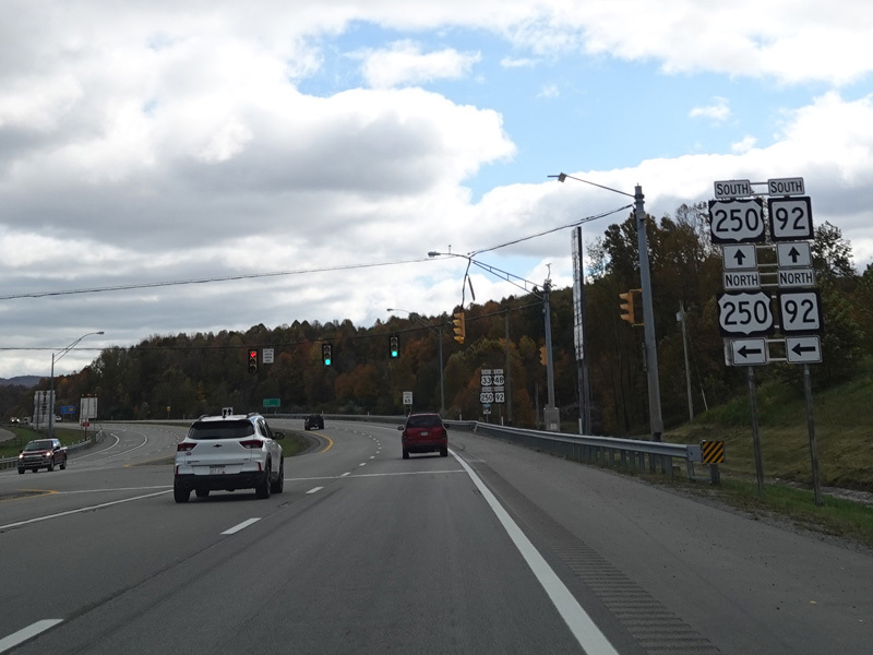
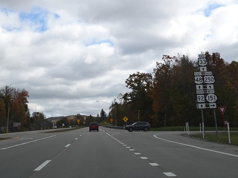
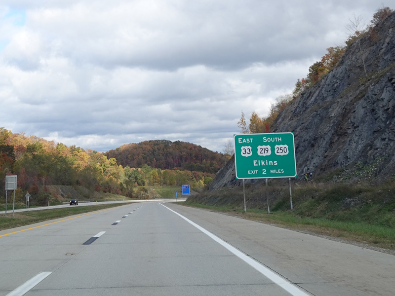
WV 92 splits off to the right at a traffic light. Continue straight ahead on Corridor H to stay on US 33/US 250.
Photos taken October 2023.
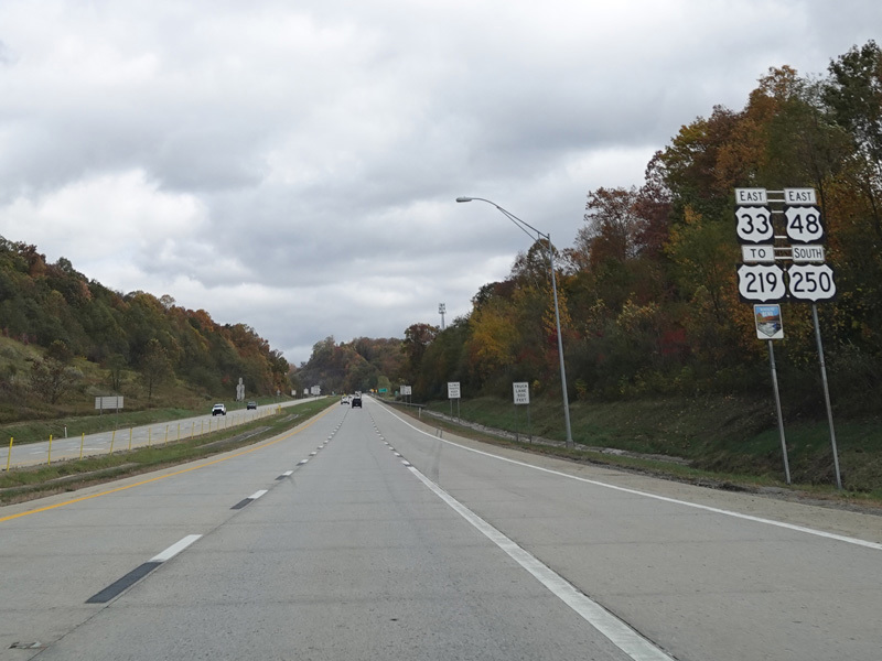
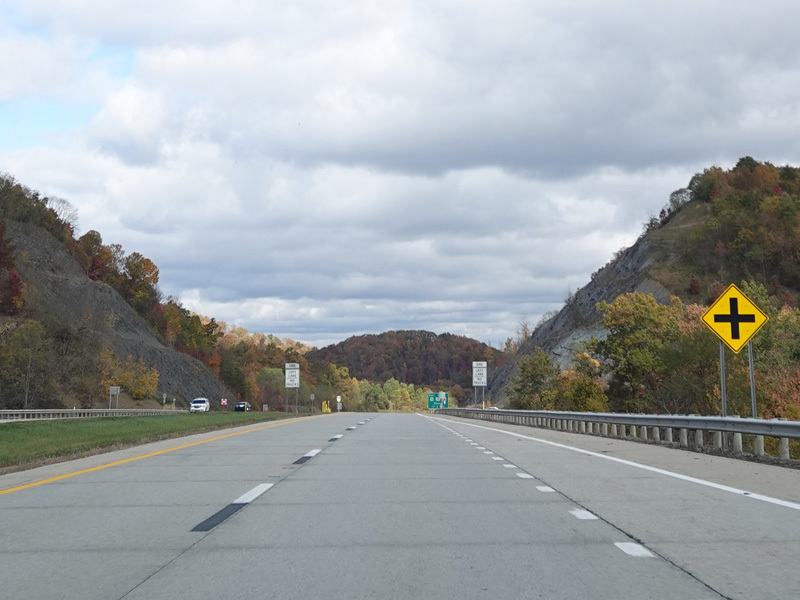
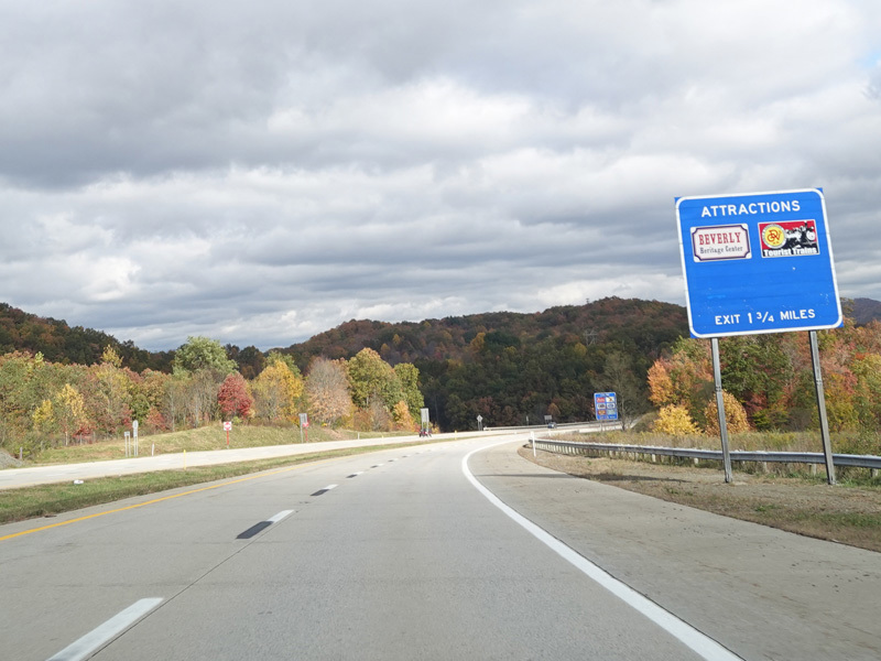
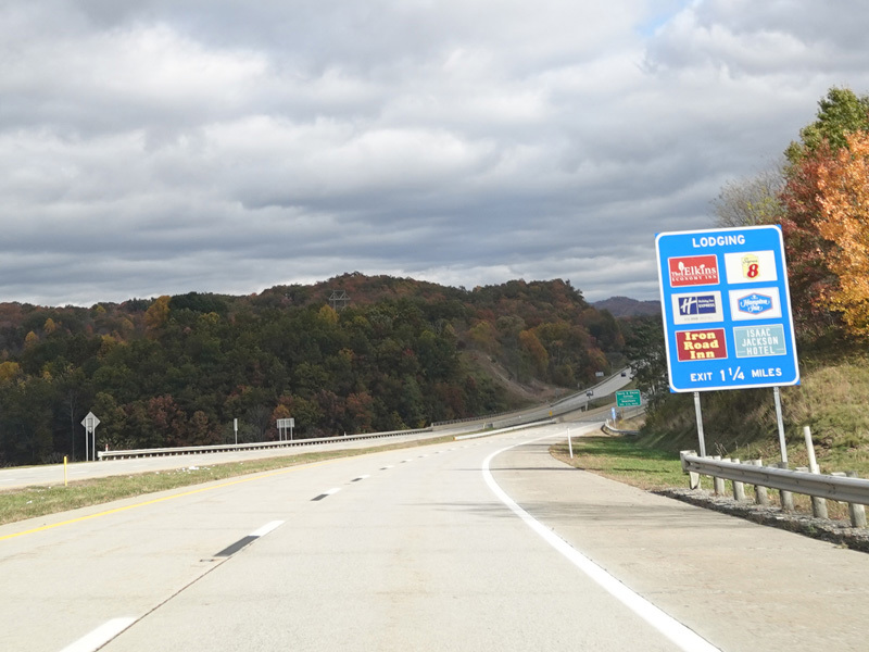
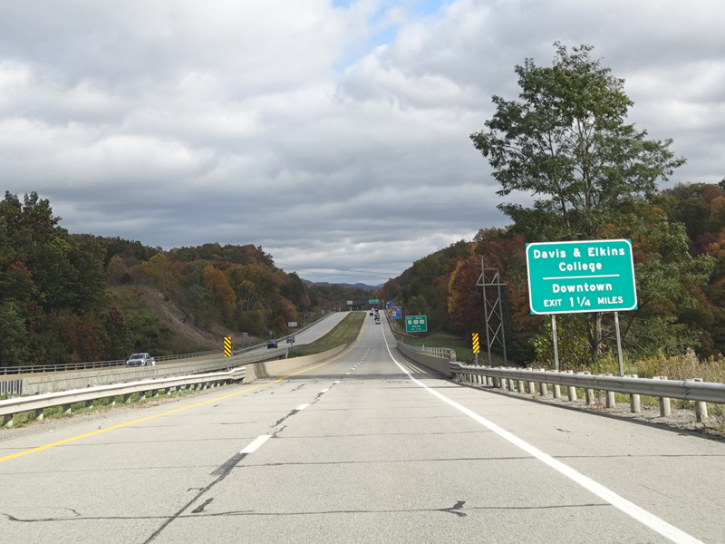
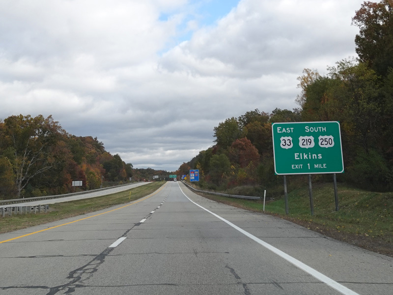
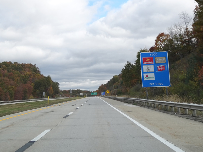
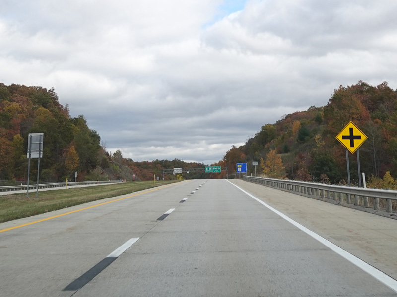
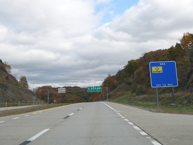
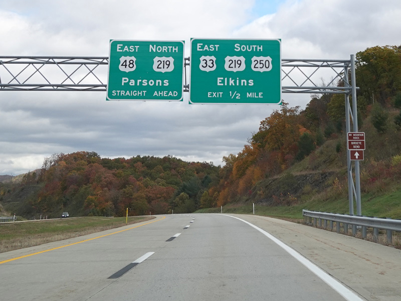
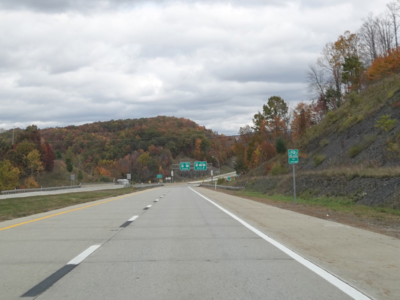
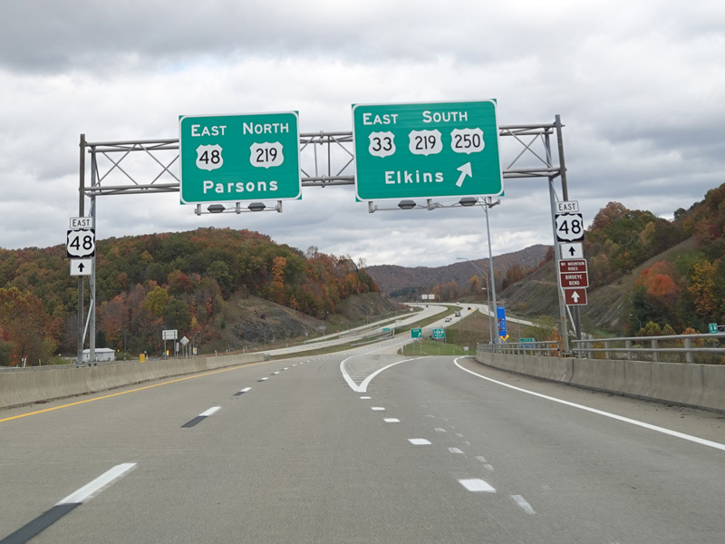
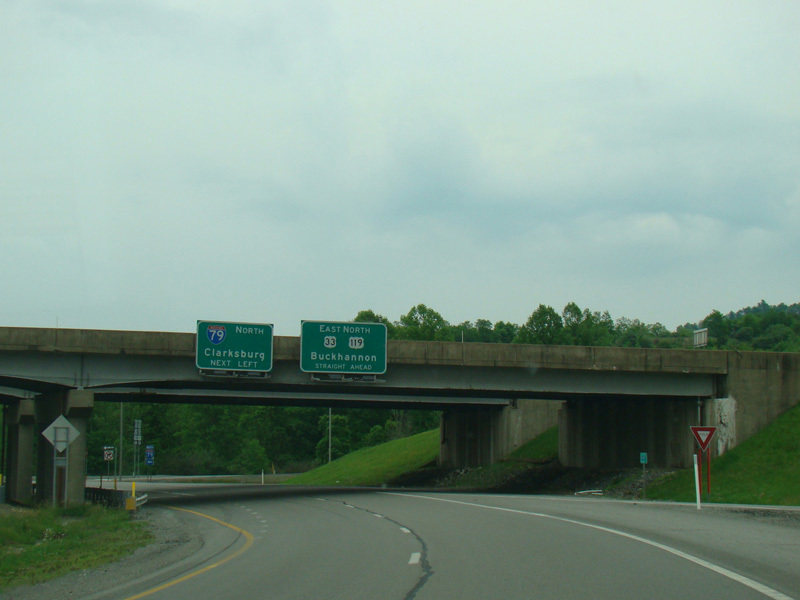
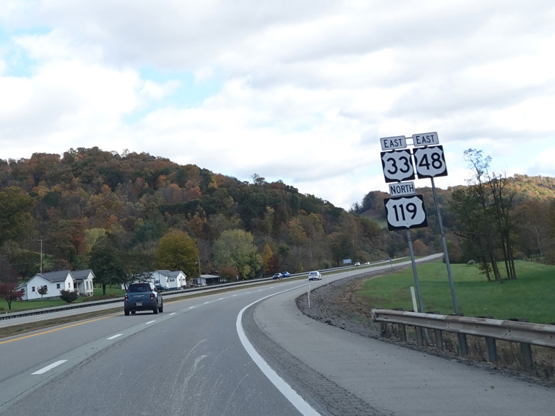
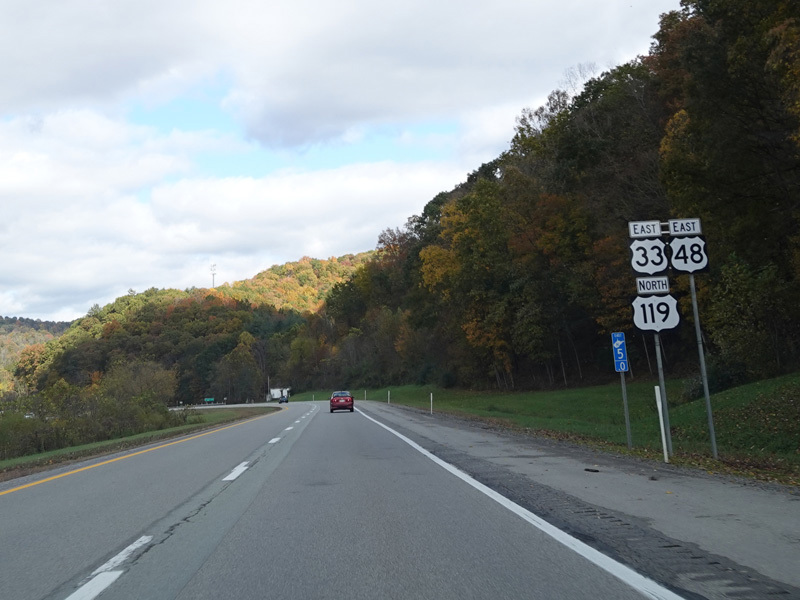
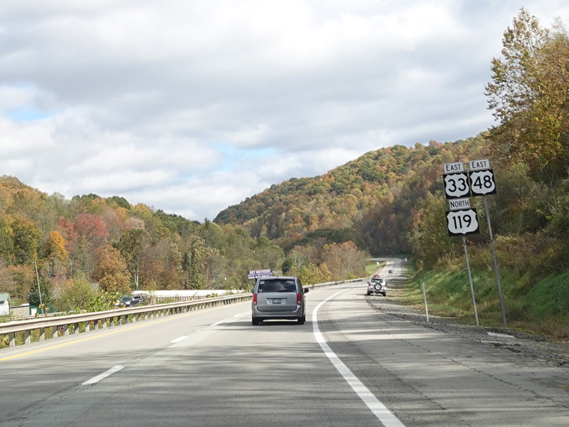
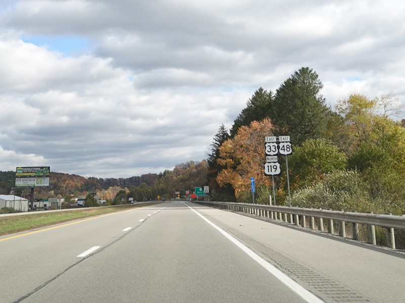
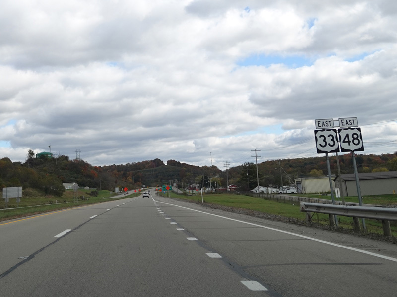
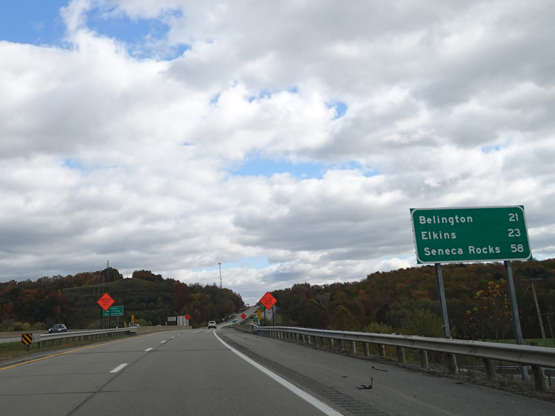
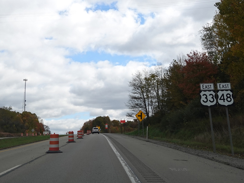
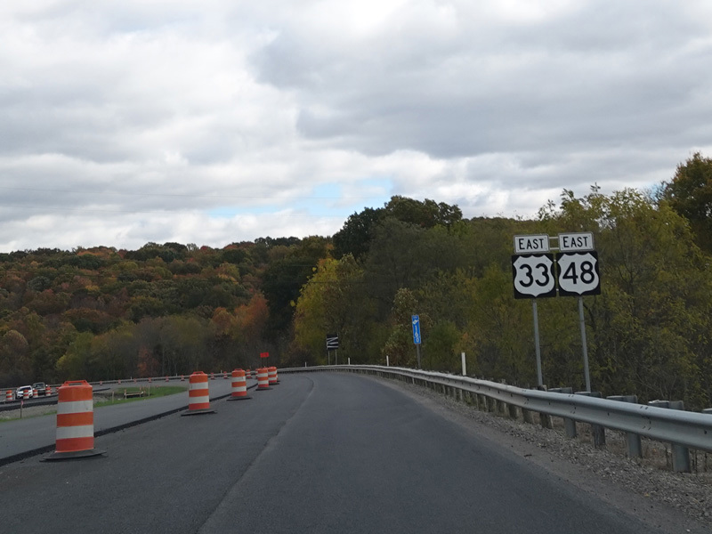
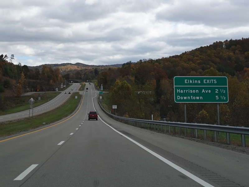
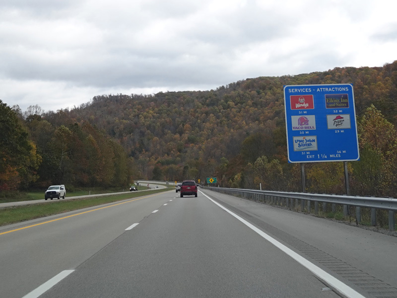
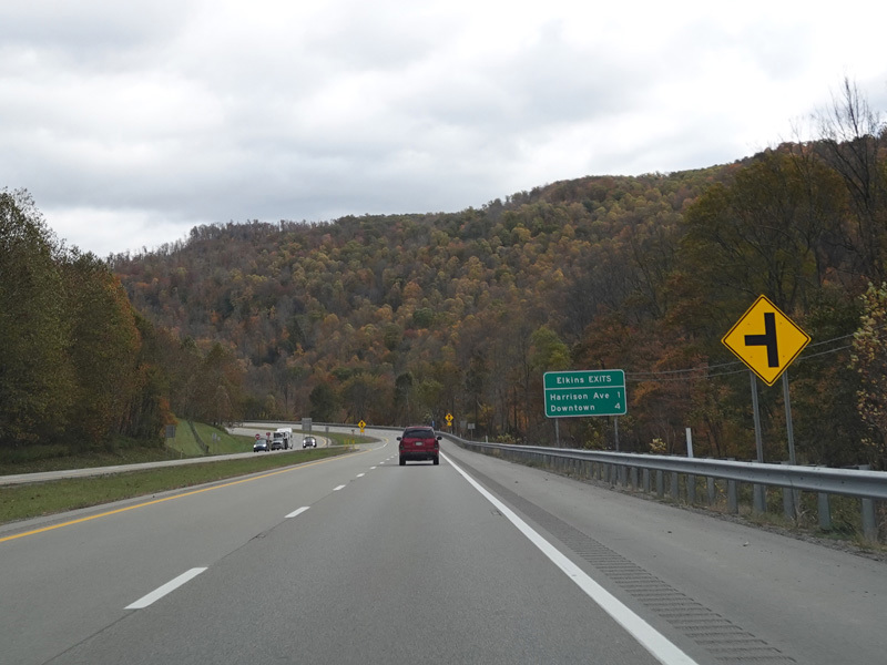
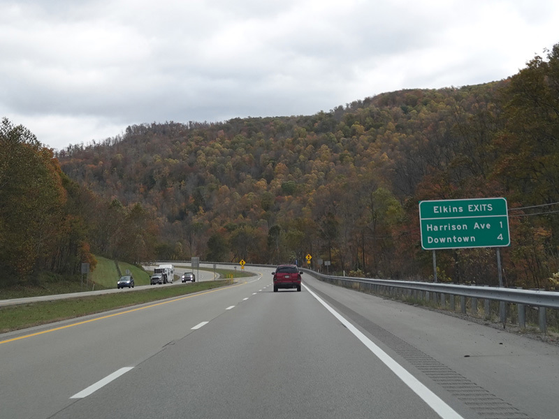
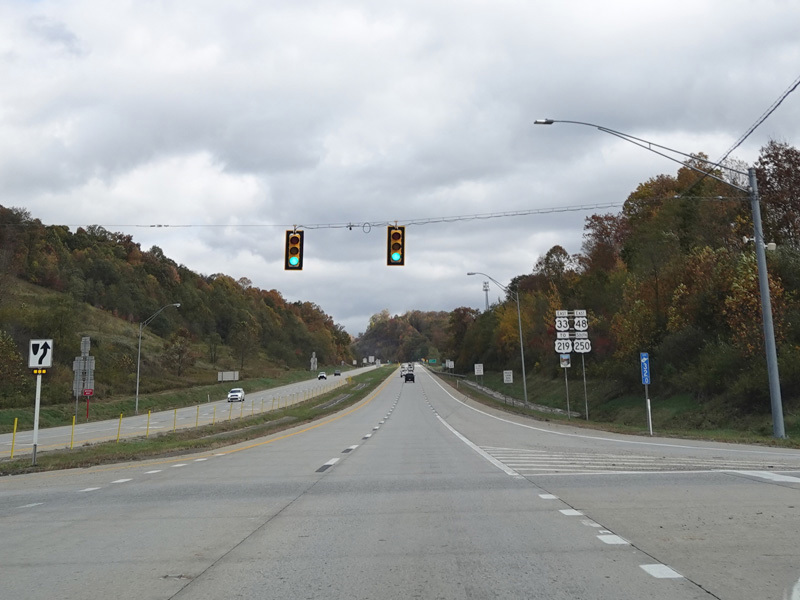
In Elkins, US 33/US 250 splits off from Corridor H to join US 219 south. Corridor H continues straight ahead as US 48/US 219 north.
Photos taken October 2023.
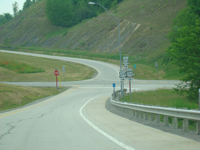
The exit ramp ends at a stop sign. Turn right to stay on US 33/US 219/US 250.
Photo taken May 2016.
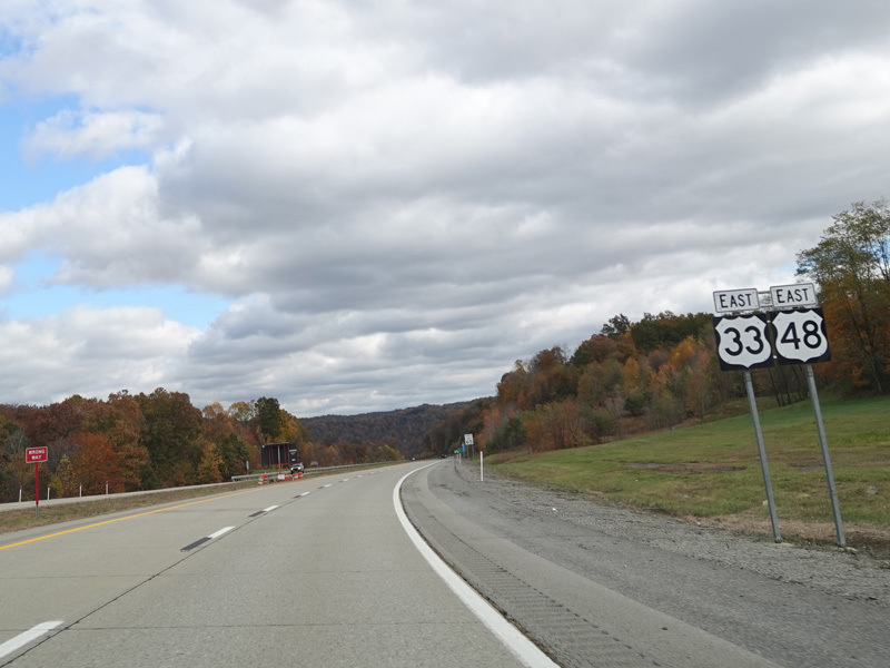
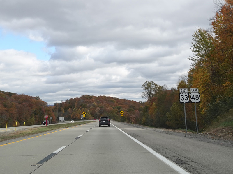
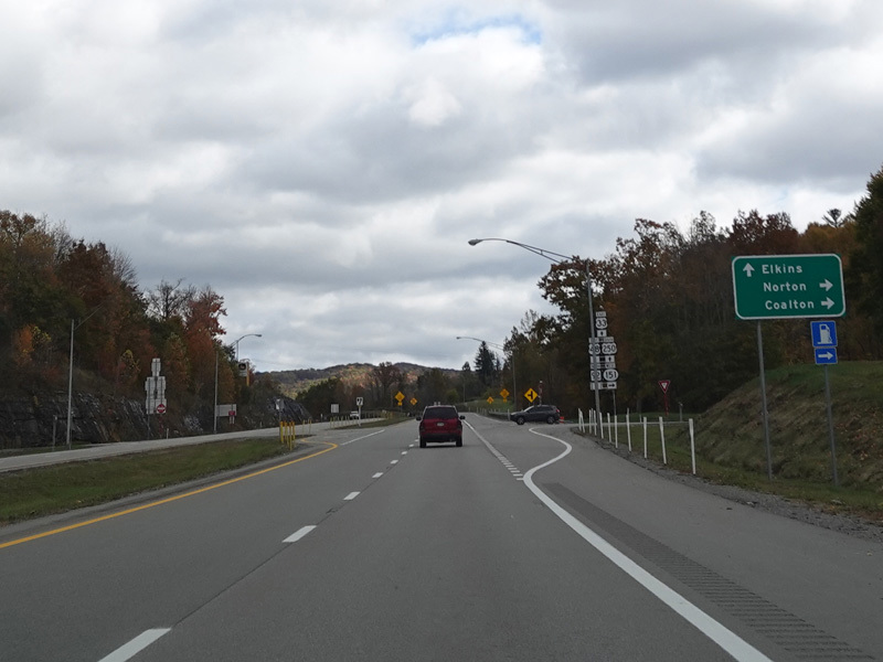
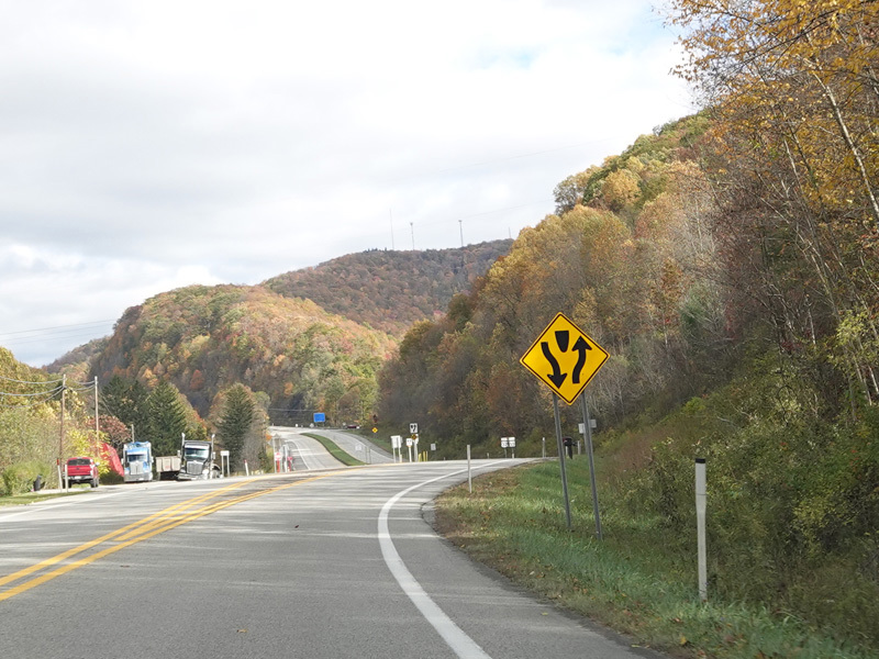
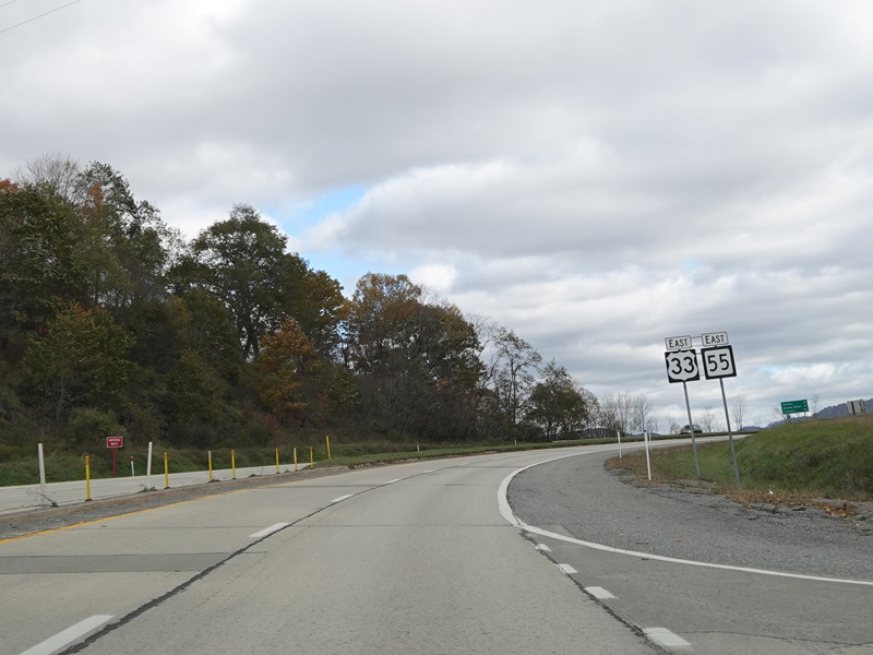
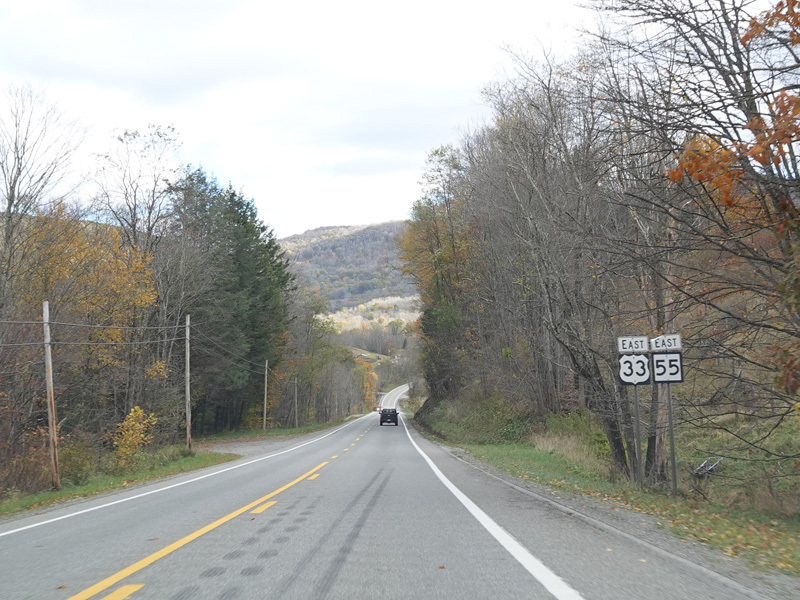
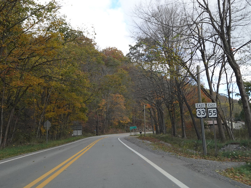
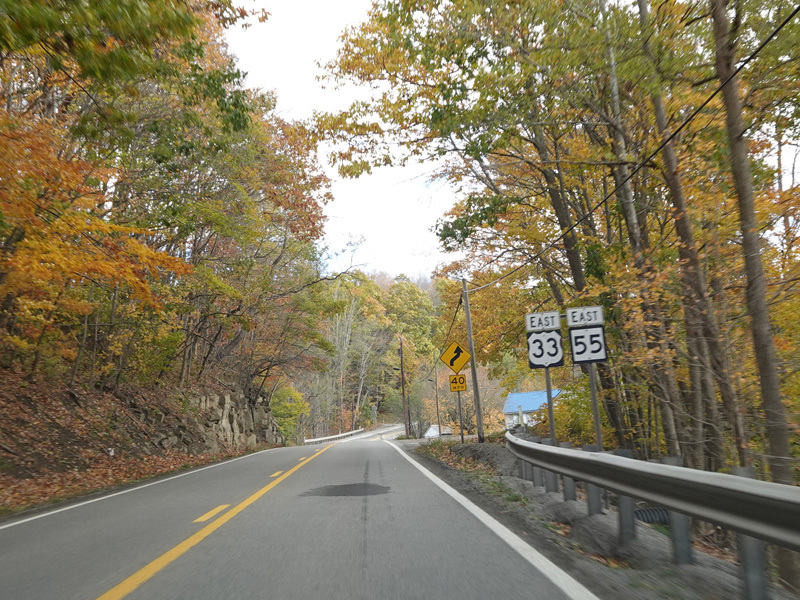
US 33 is multiplexed with US 219/US 250 along North Randolph Avenue and with US 219/US 250/WV 92 along Seneca Trail through Elkins.
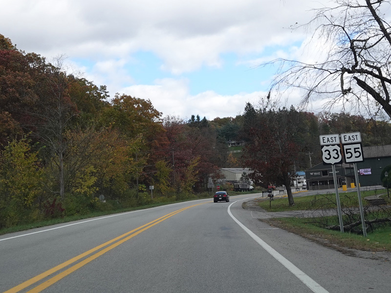
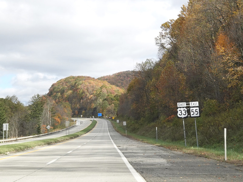
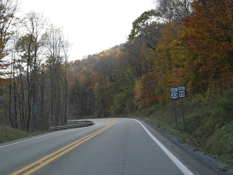
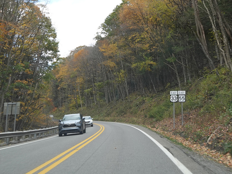
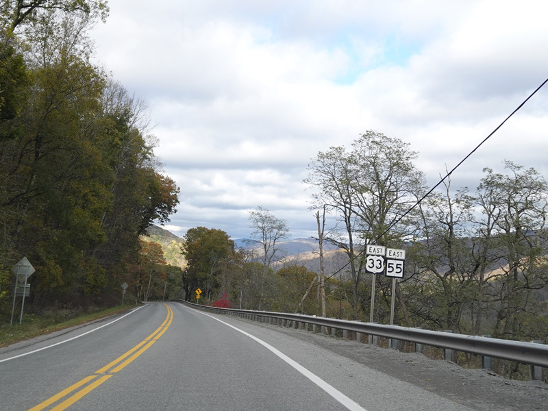
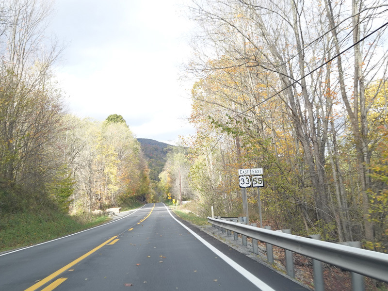
US 33 splits off from Seneca Trail (US 219/US 250/WV 92) and runs east as a two-lane undivided road. It is multiplexed with WV 55 here.
Photos taken October 2023.
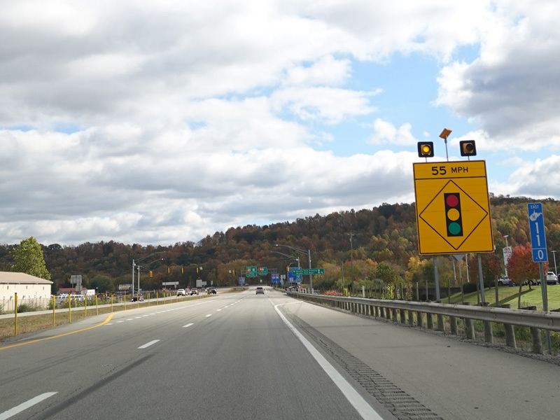
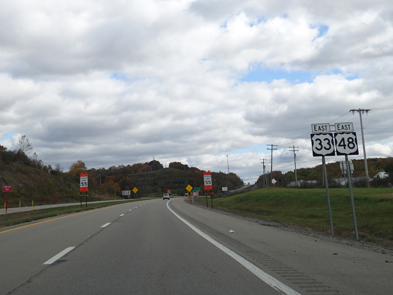
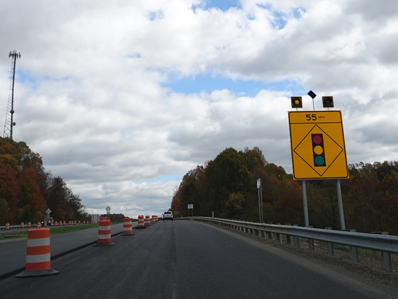
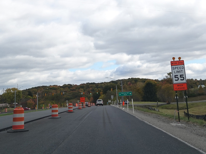
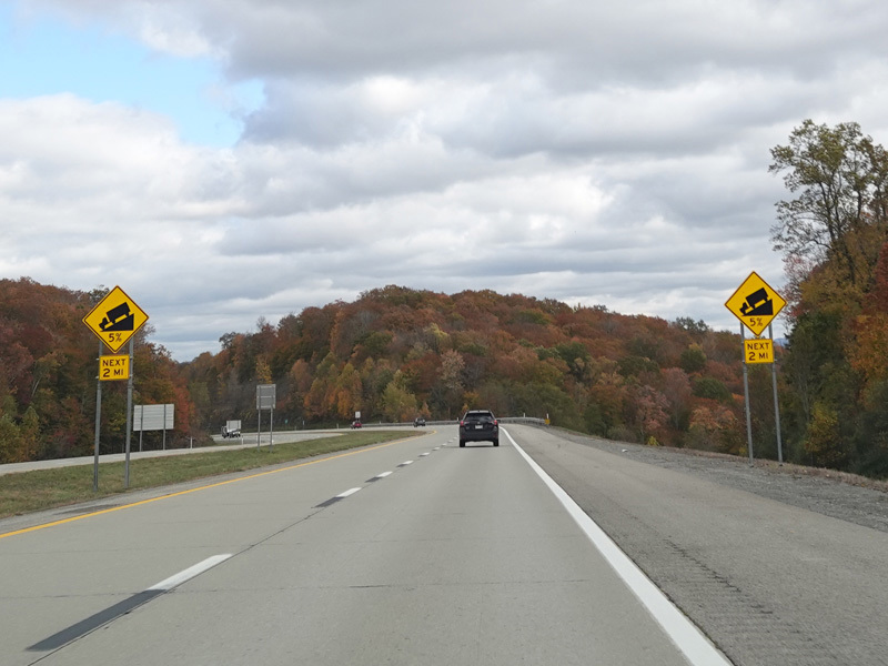
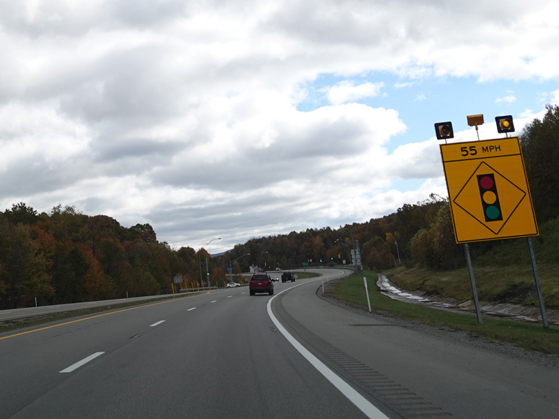
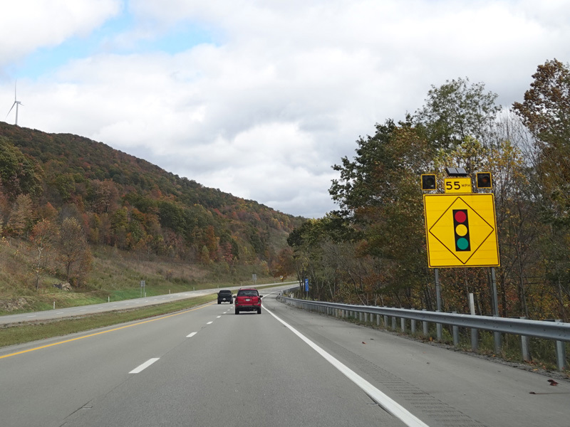
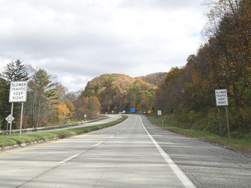
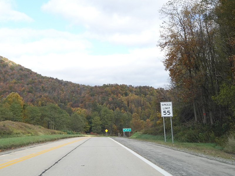
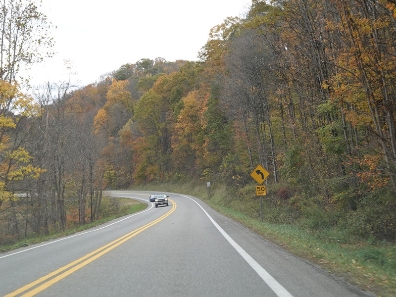
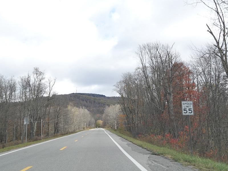
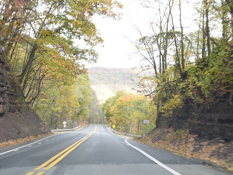
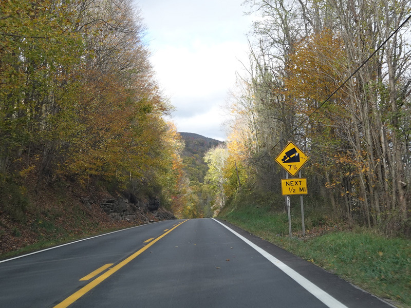
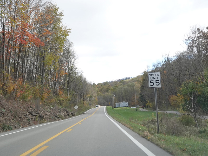
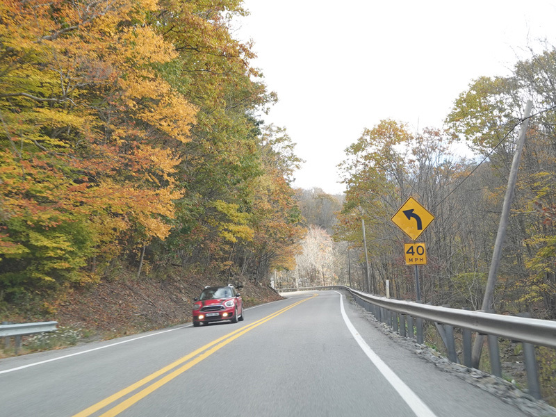
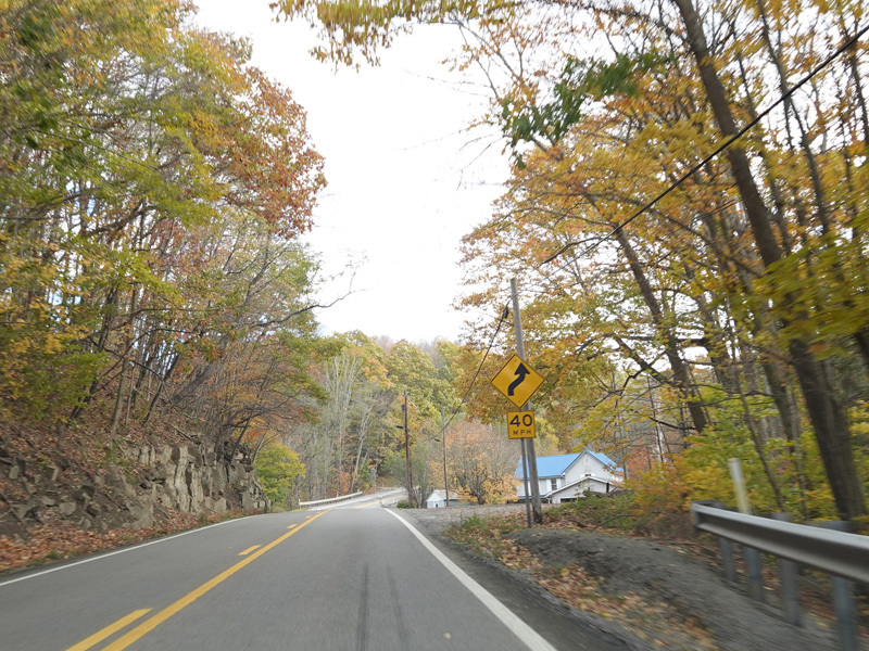
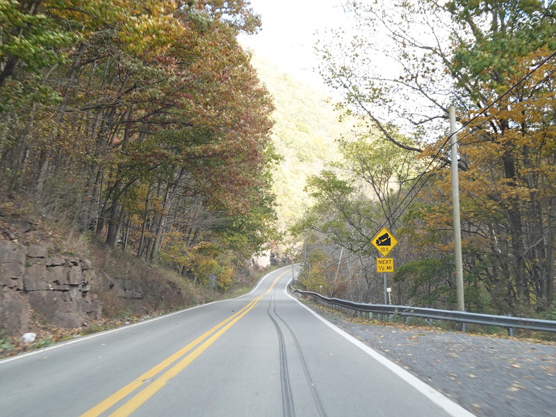
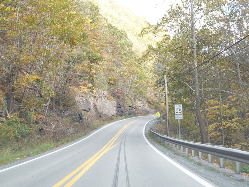
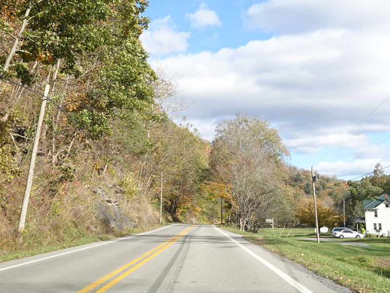
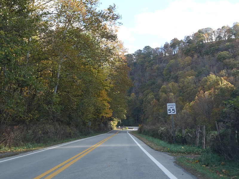
The speed limit rises to 55 MPH. US 33/WV 55 ascends up into the mountains.
Photos taken October 2023.
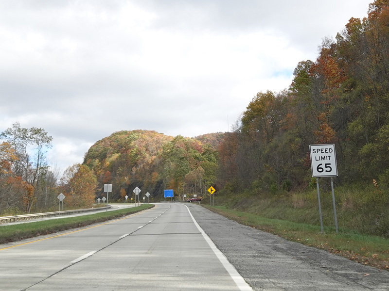
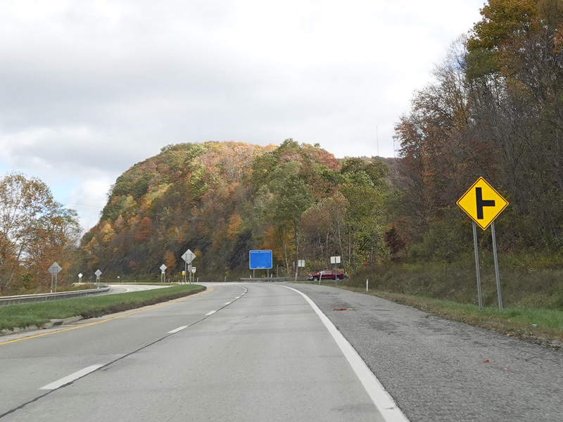
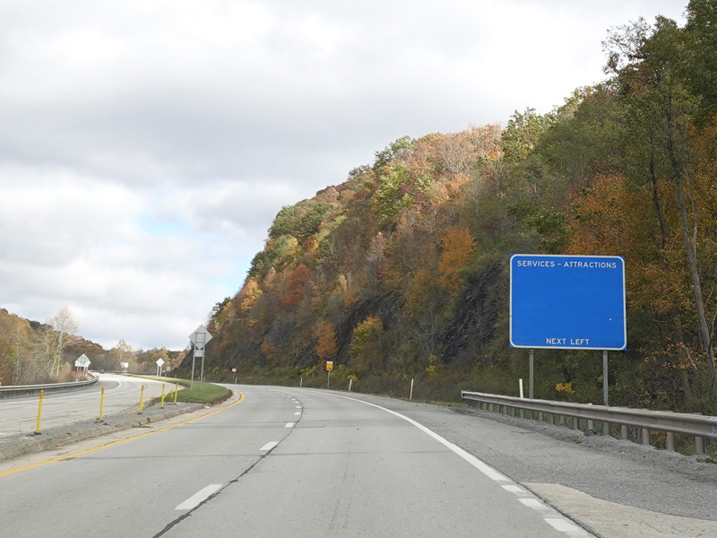
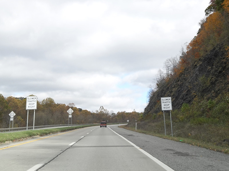
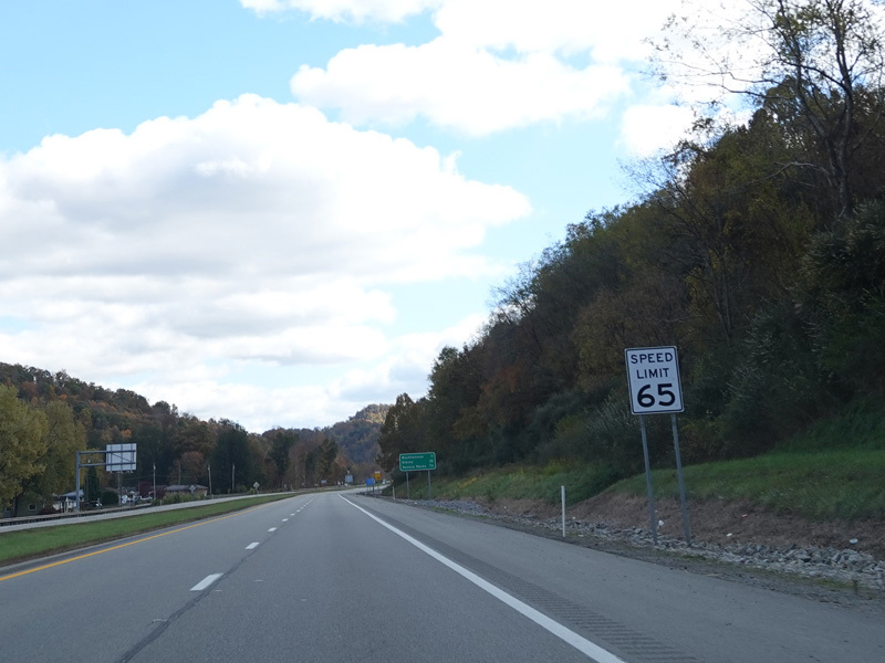
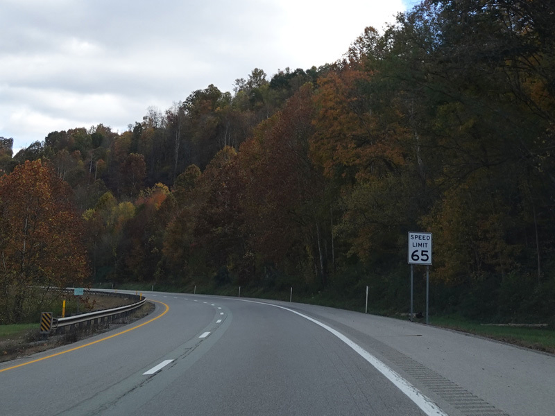
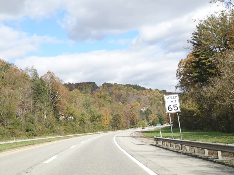
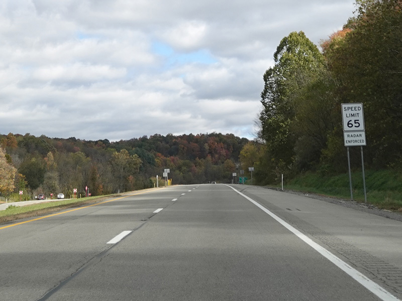
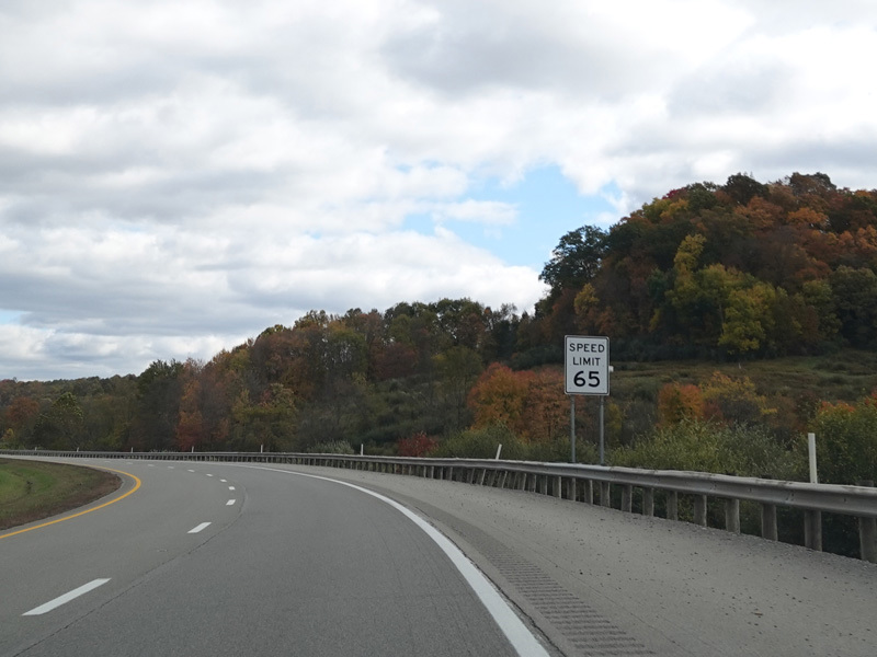
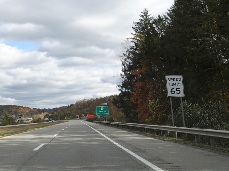
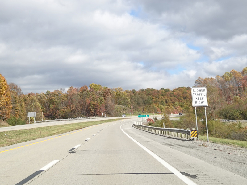
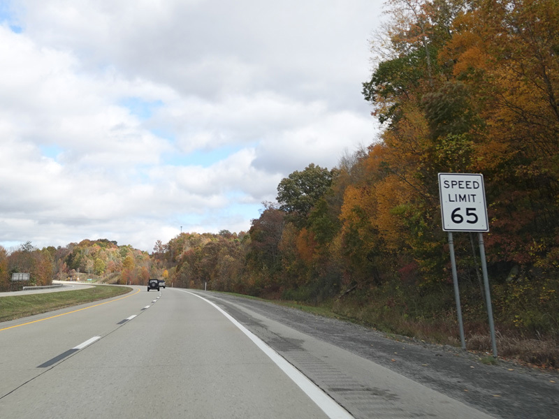
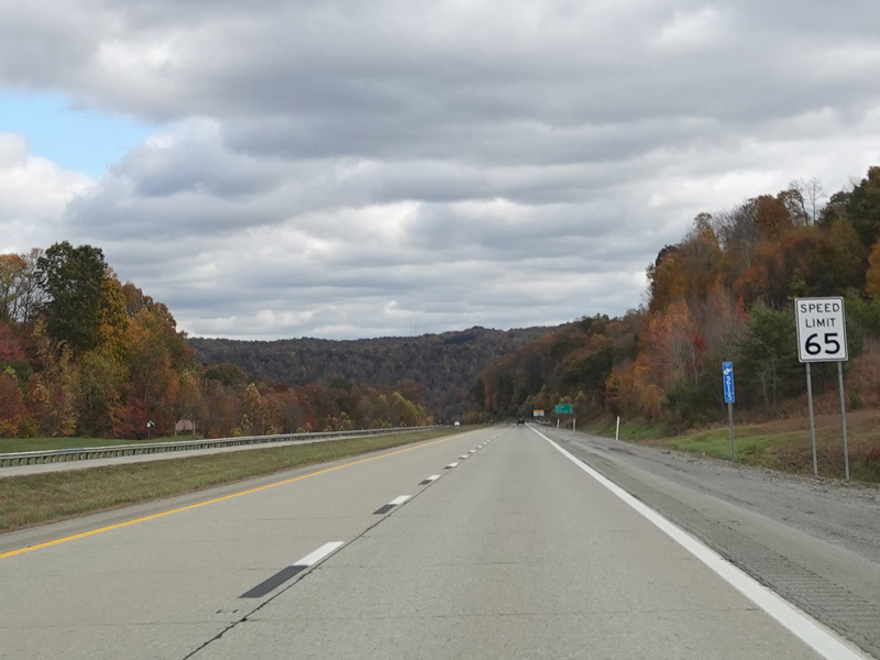
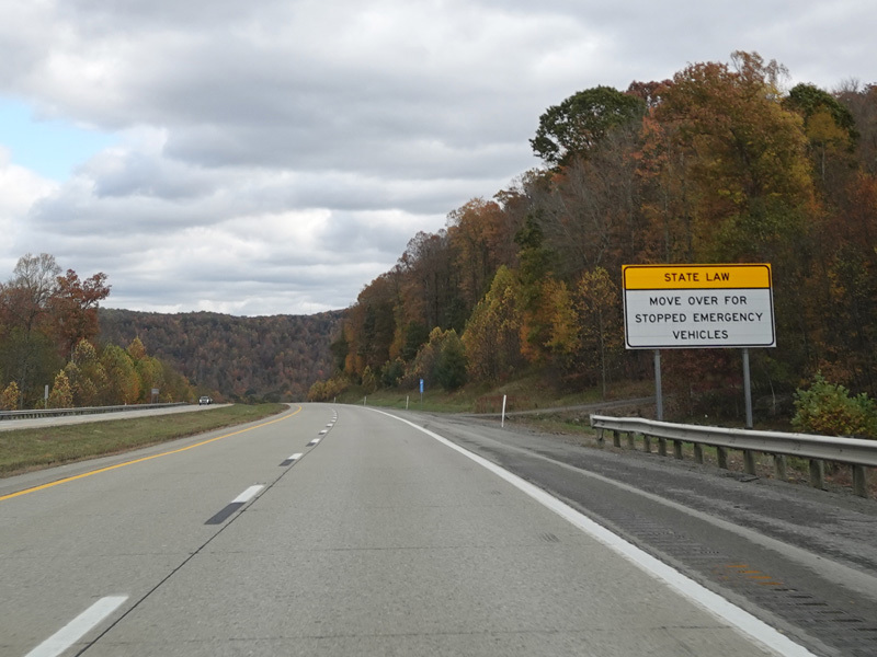
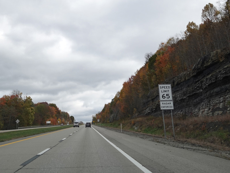
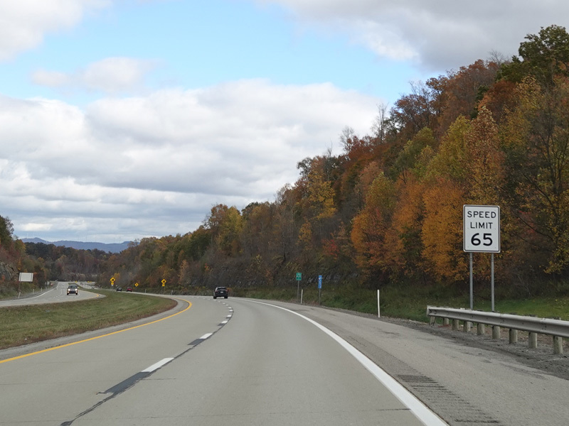
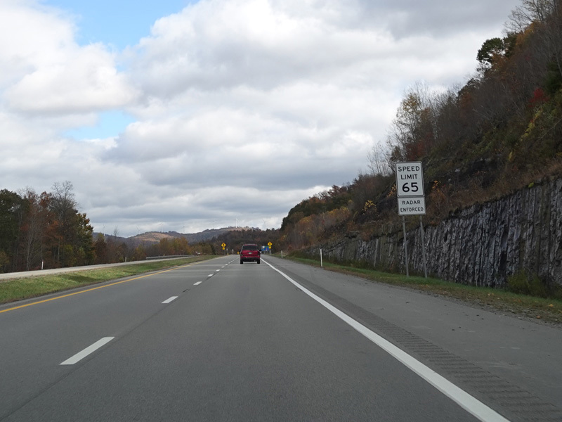
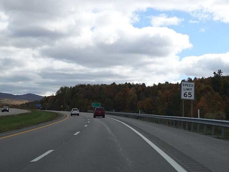
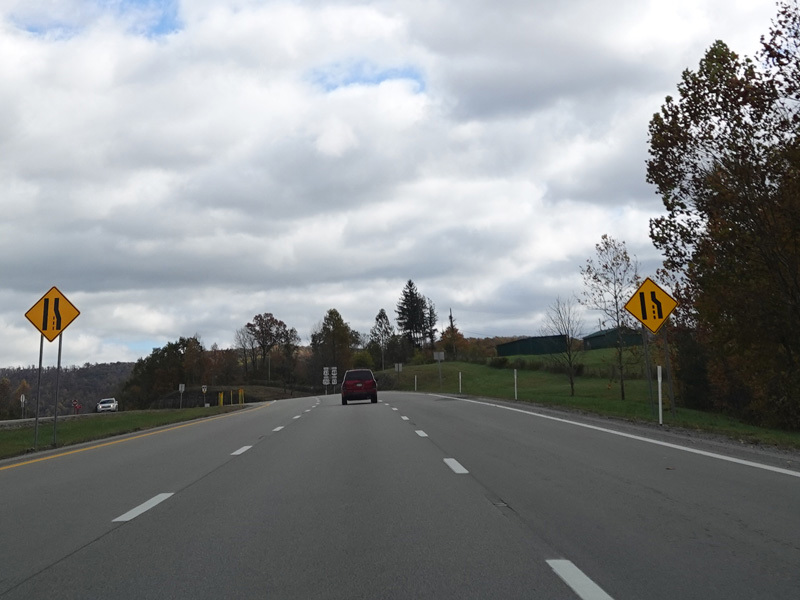
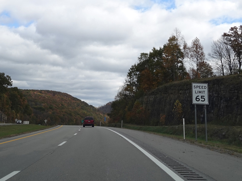
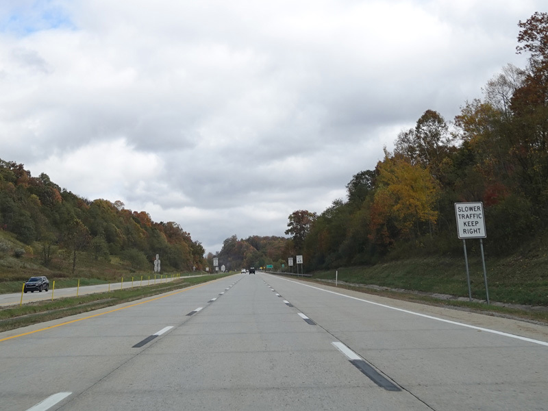
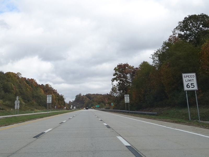
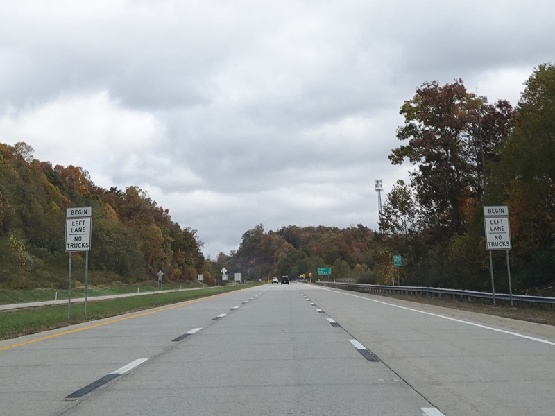
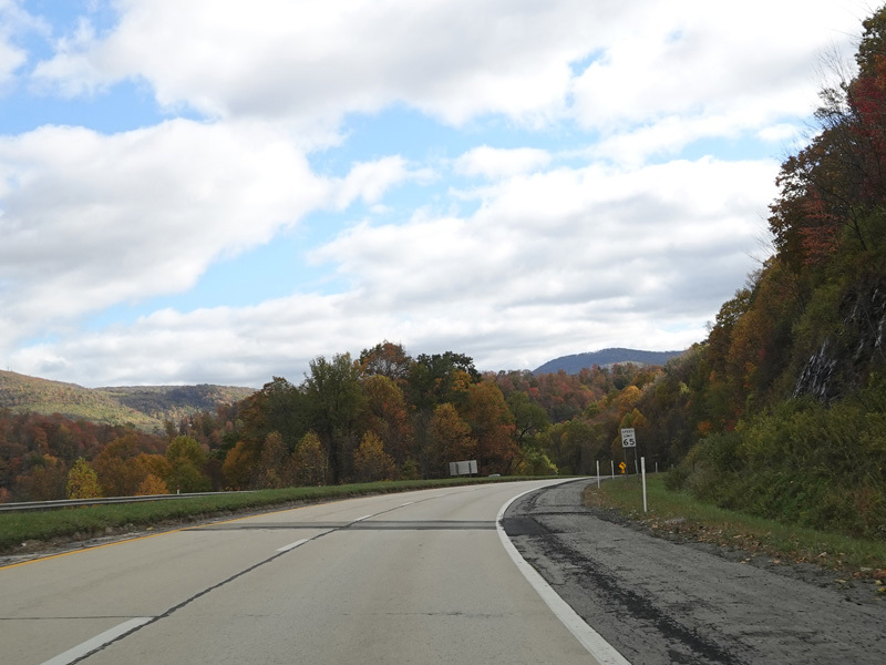
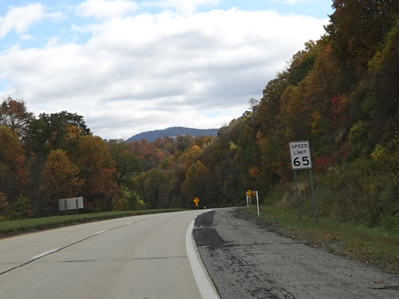
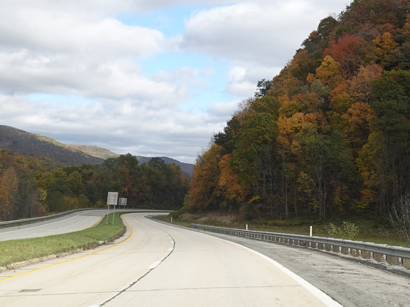
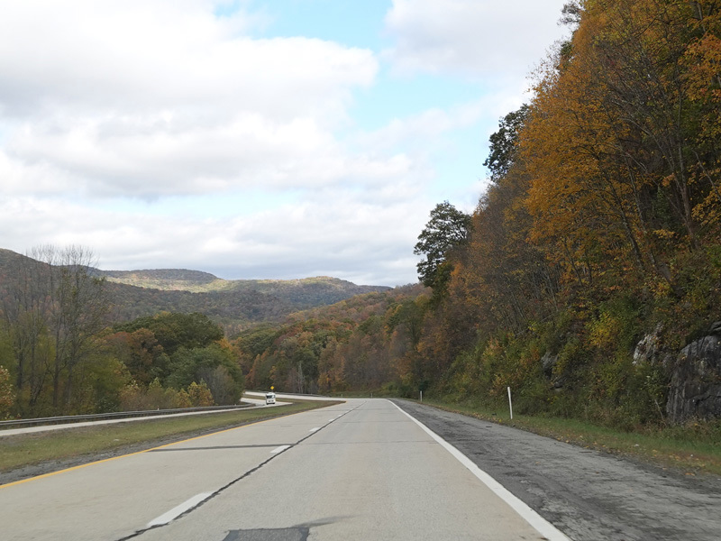
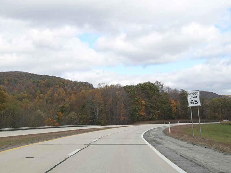
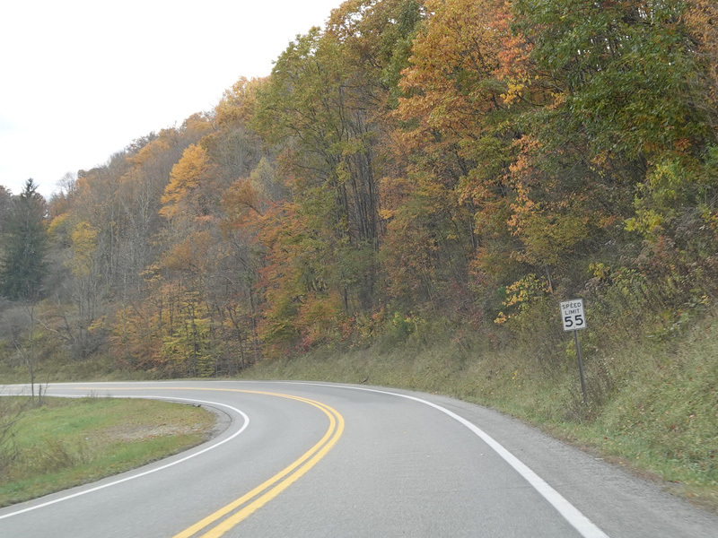
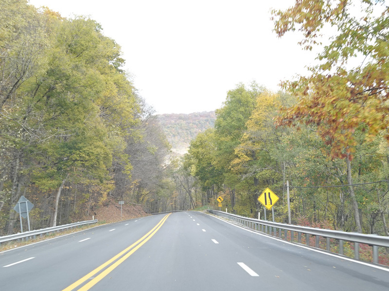
US 33/WV 55 widens to become a four-lane divided highway. The speed limit goes up to 65 MPH.
Photos taken October 2023.
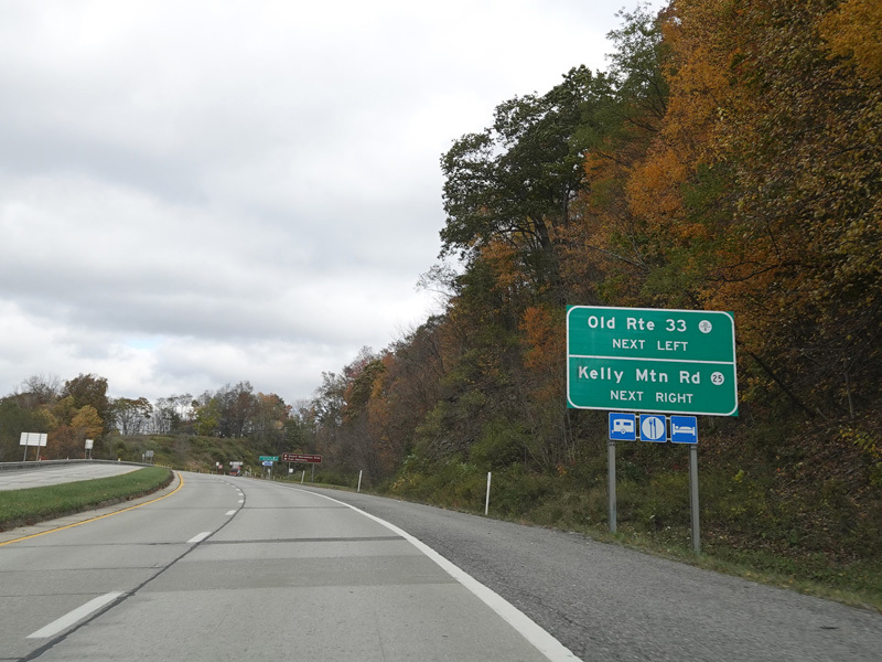
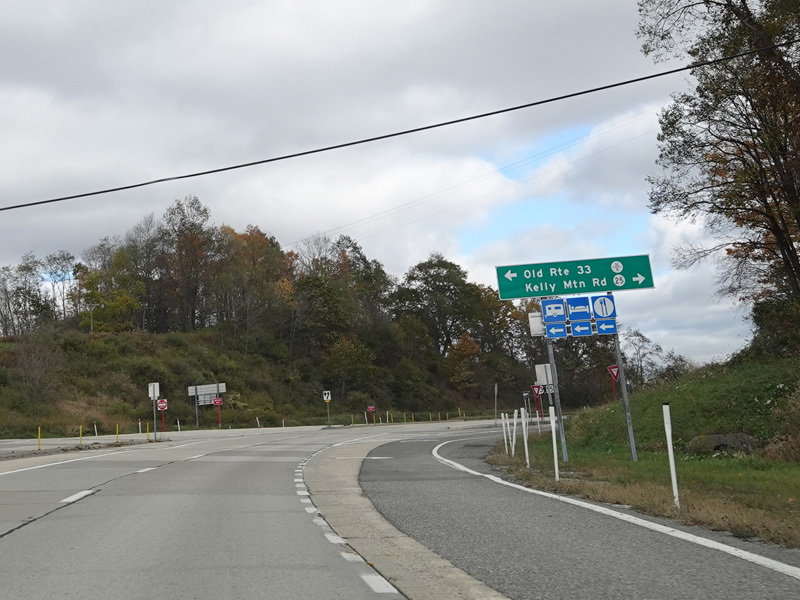
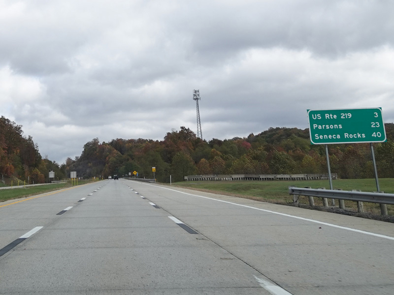
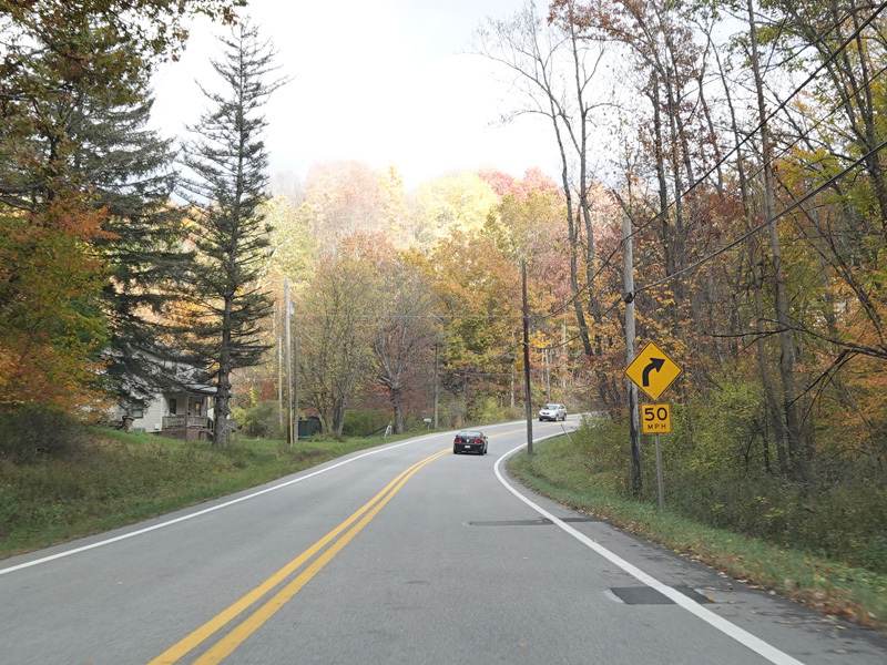
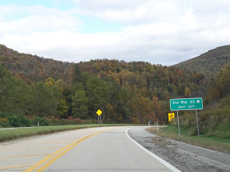
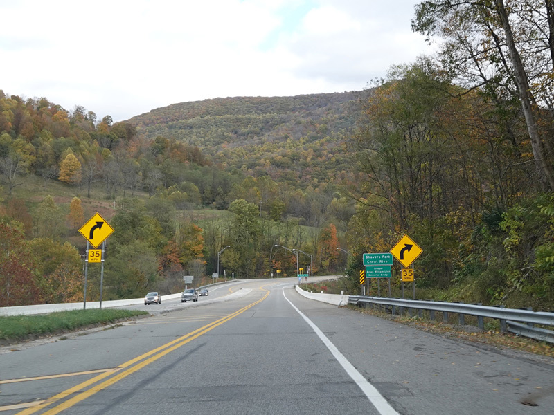
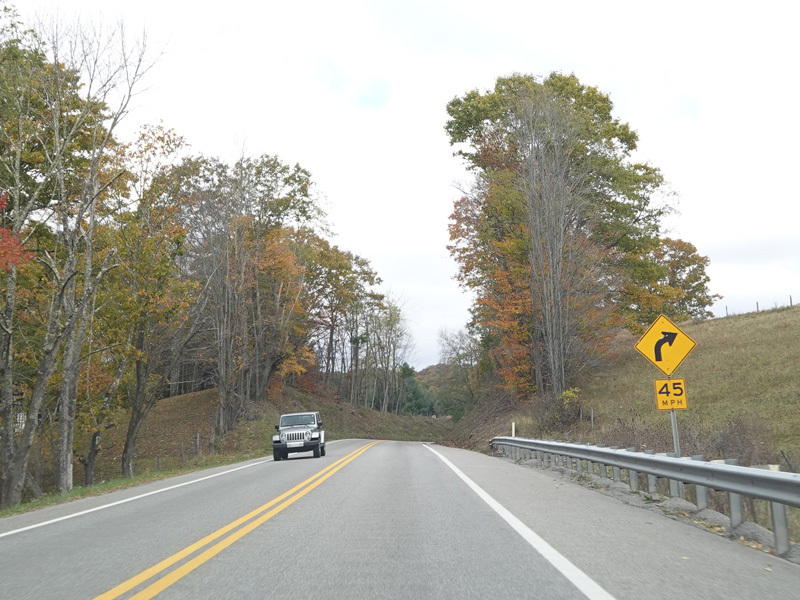
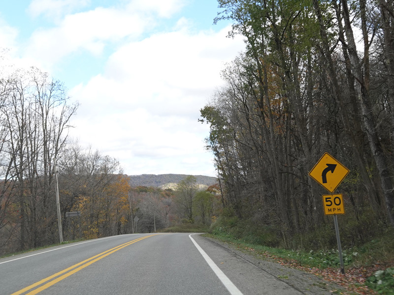
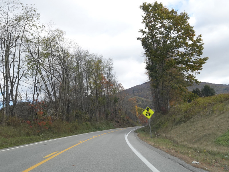
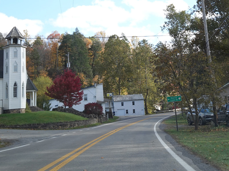
There is an uncontrolled at-grade intersection at Old Route 33 (CR 33/8) and Kelly Mountain Road (CR 25).
Photos taken October 2023.
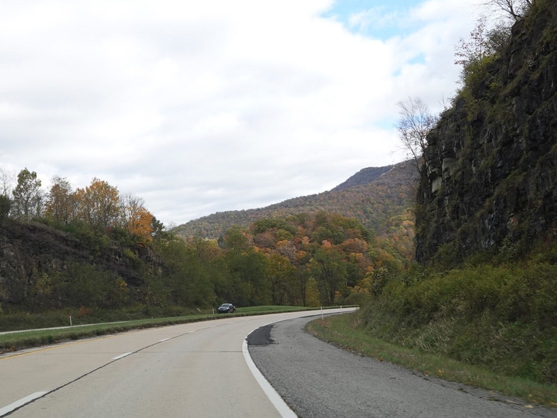
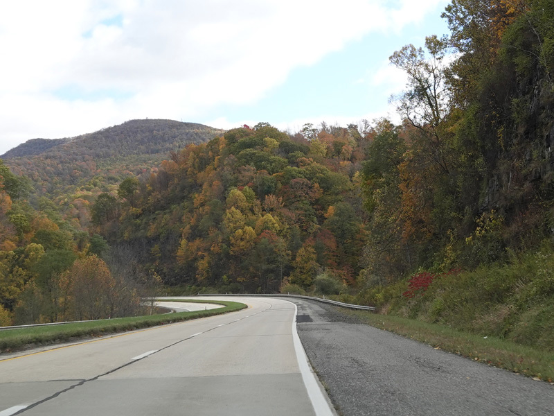
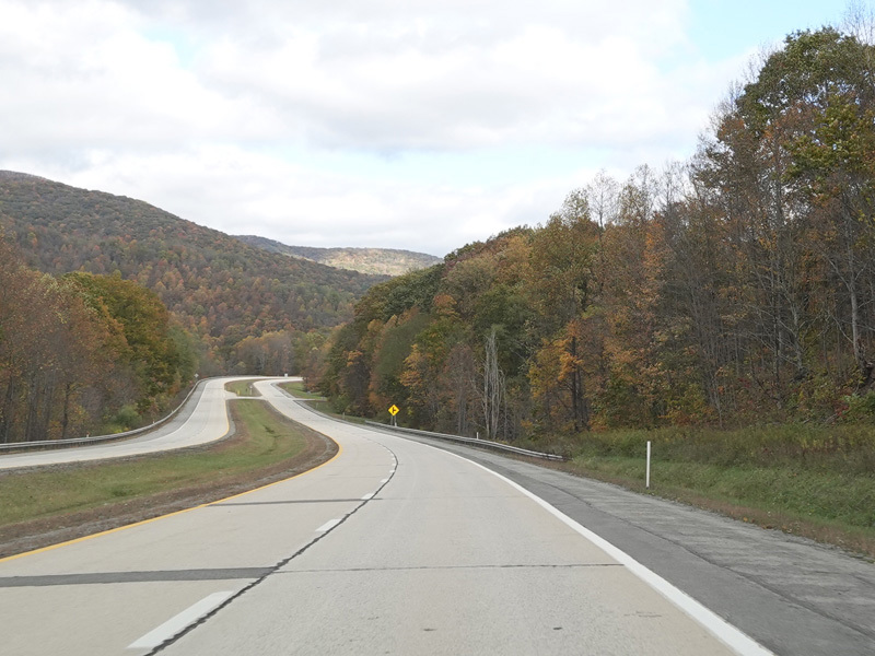
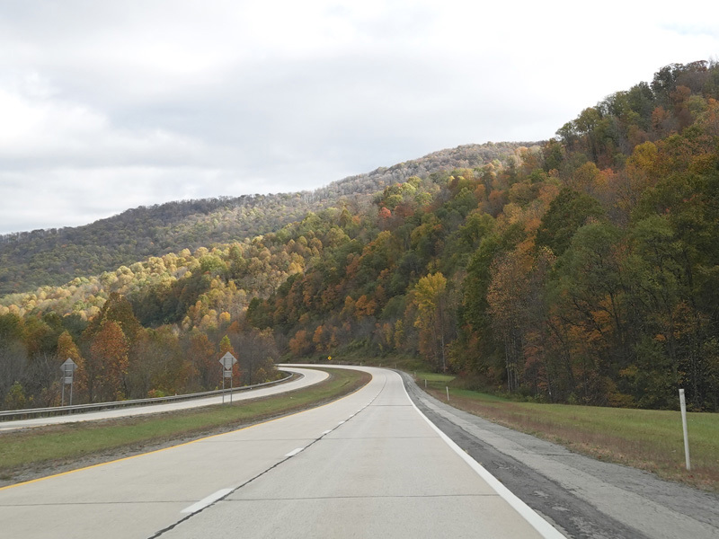
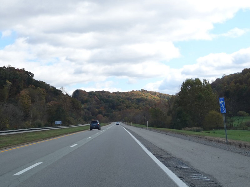
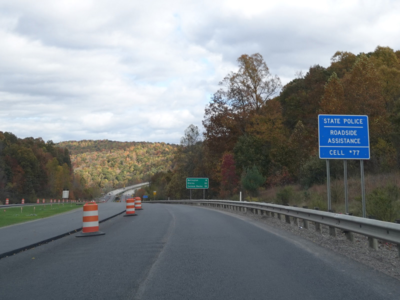
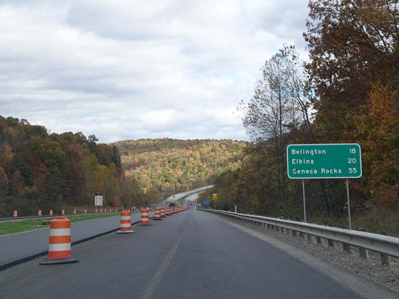
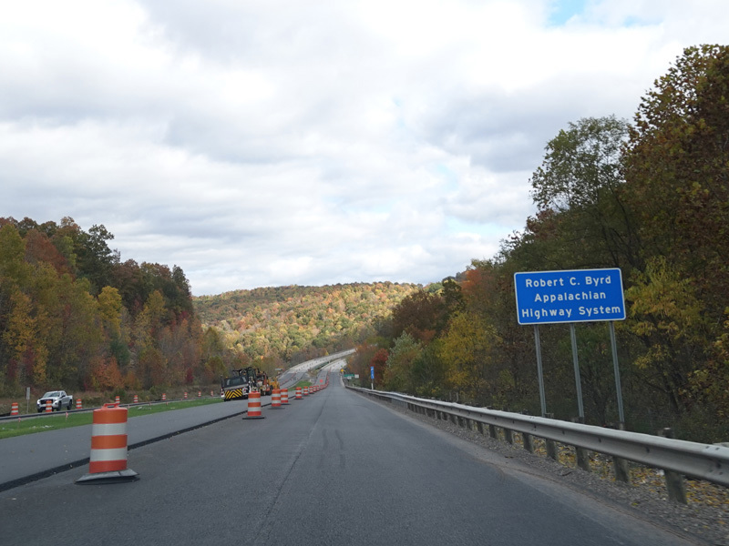
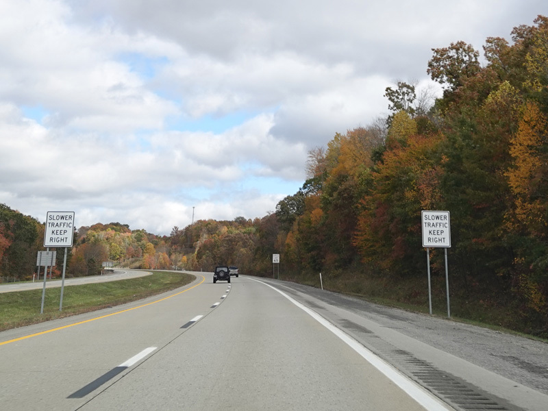
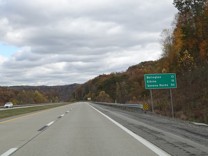
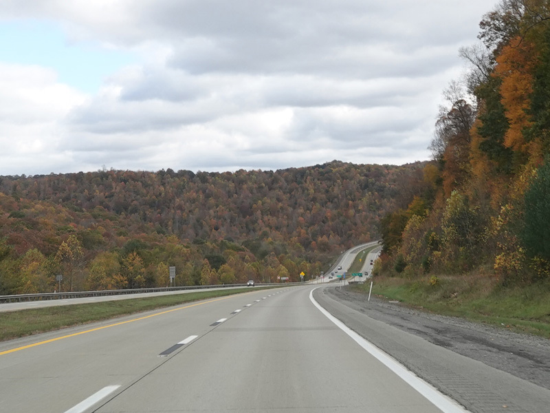
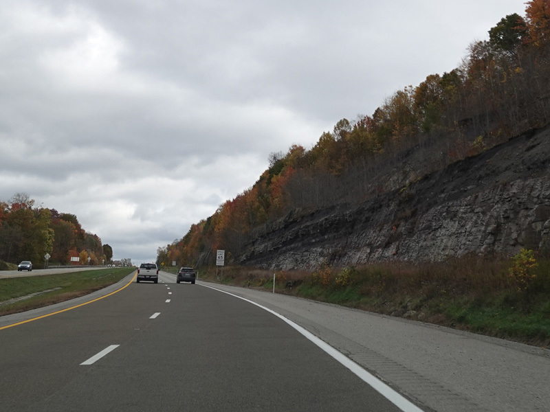
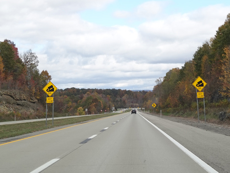
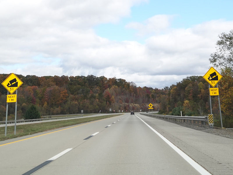
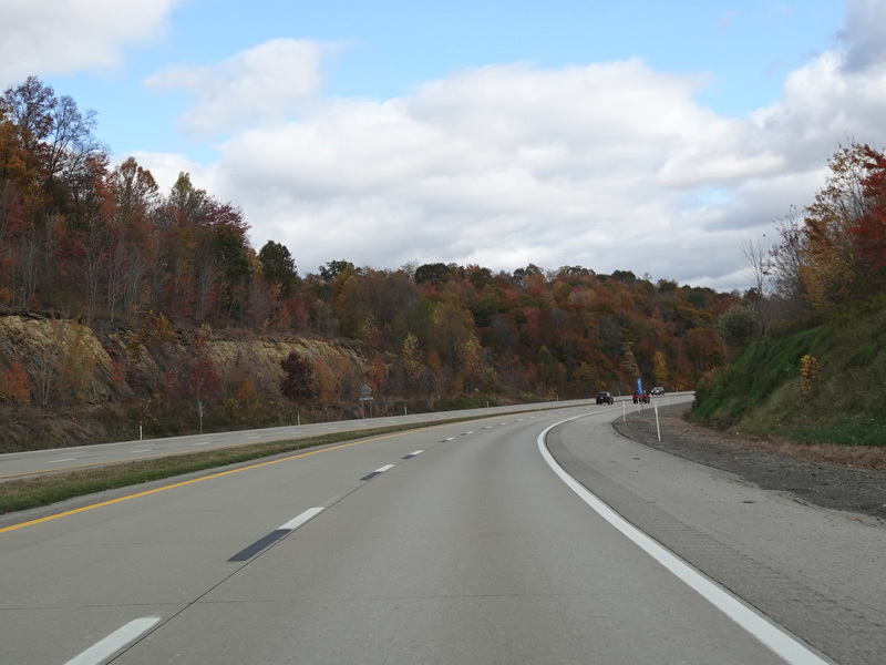
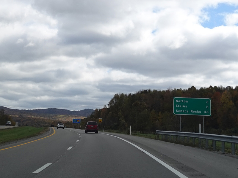
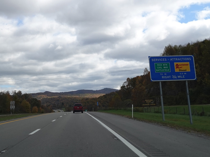
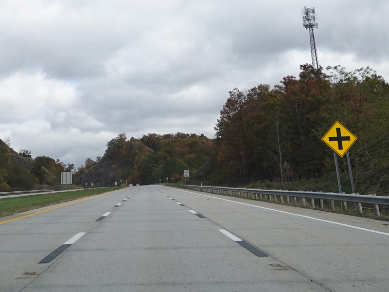
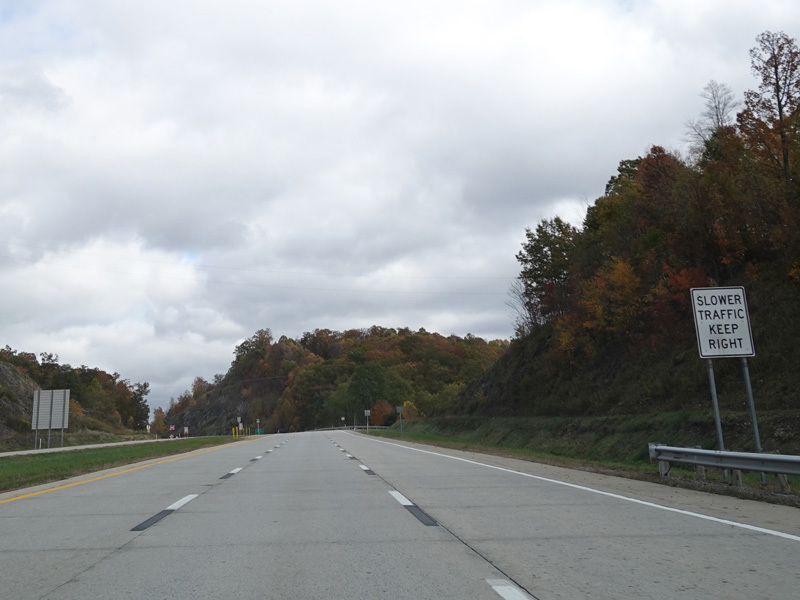
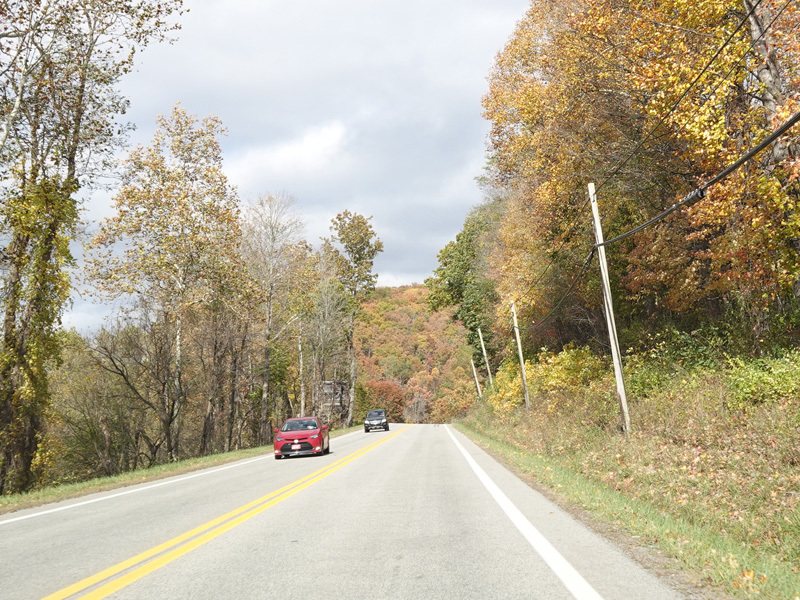
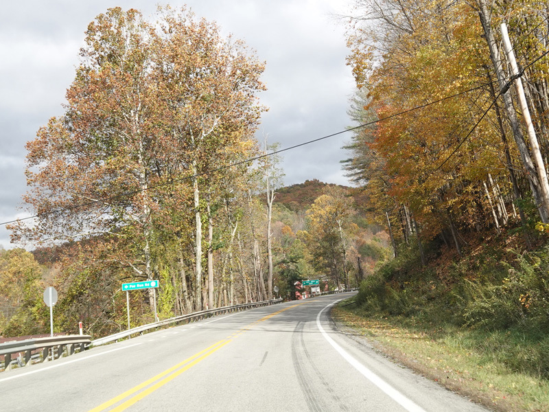
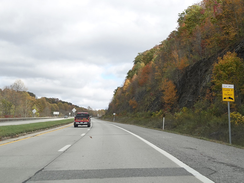
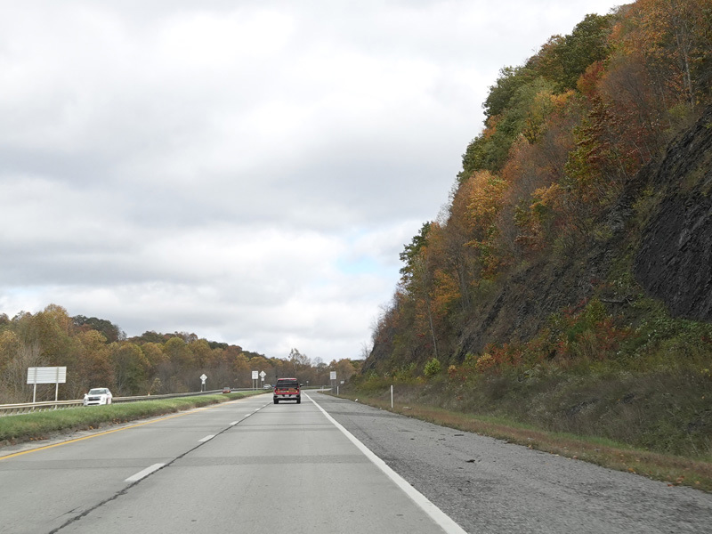
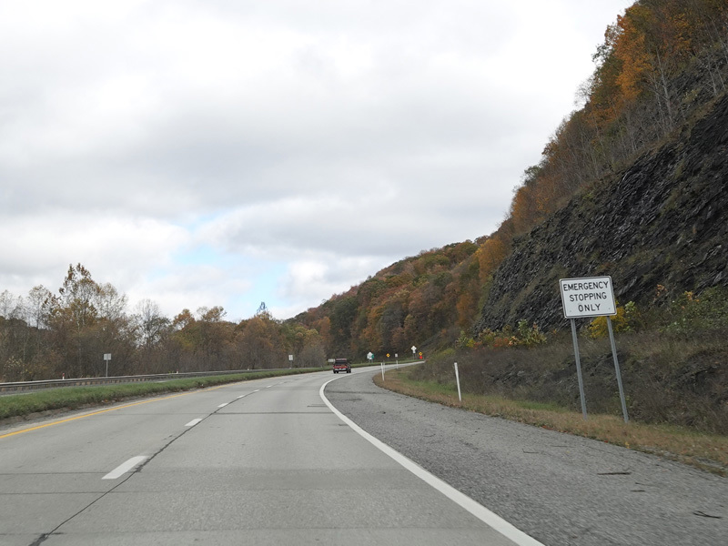
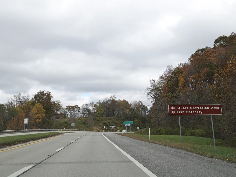
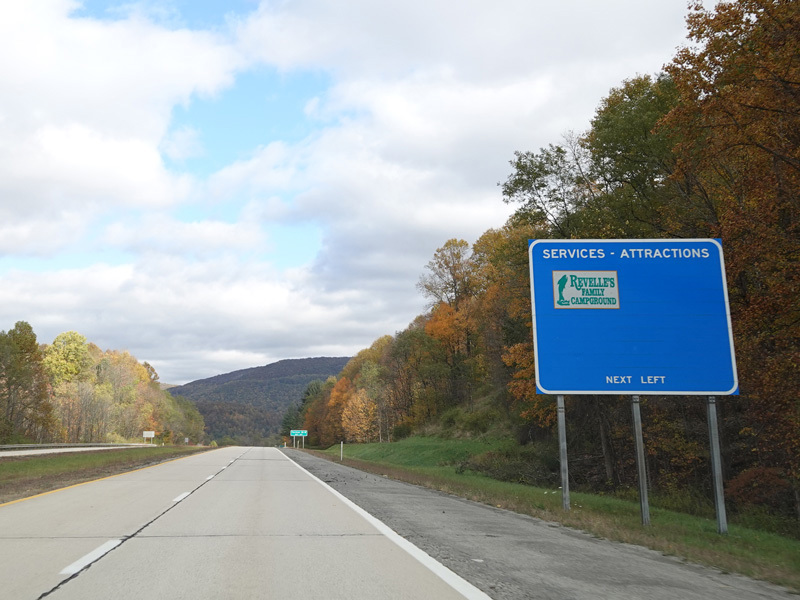
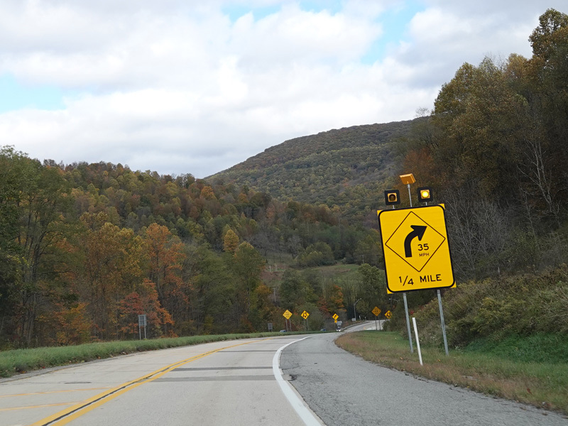
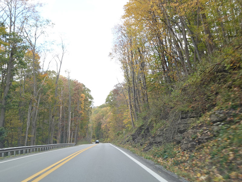
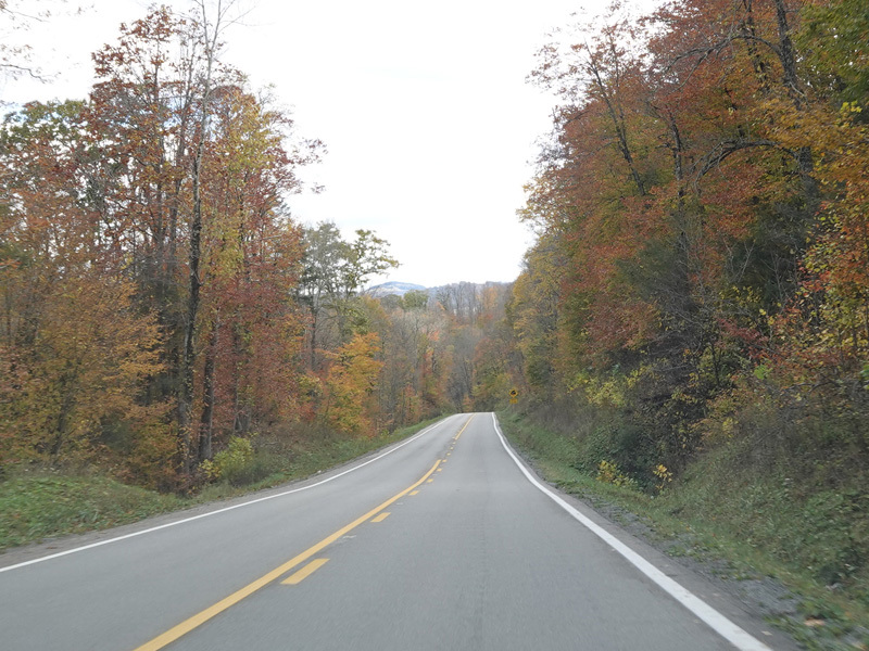
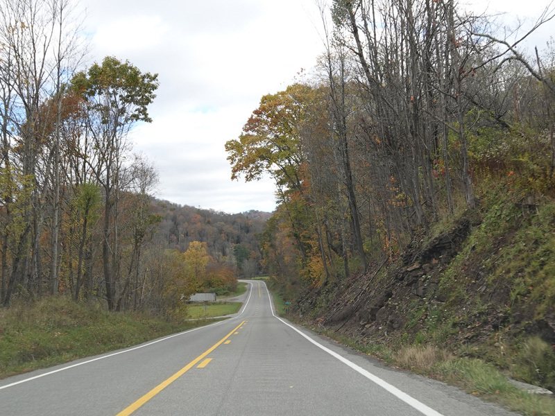
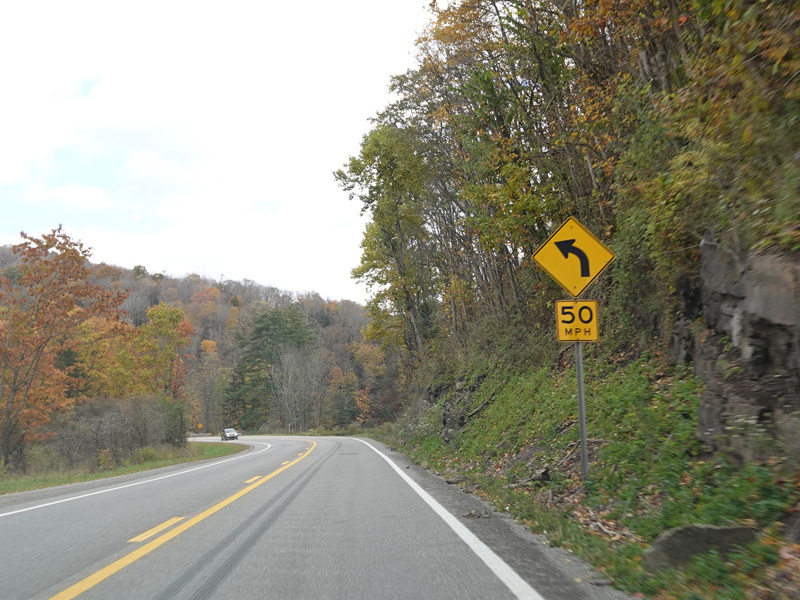
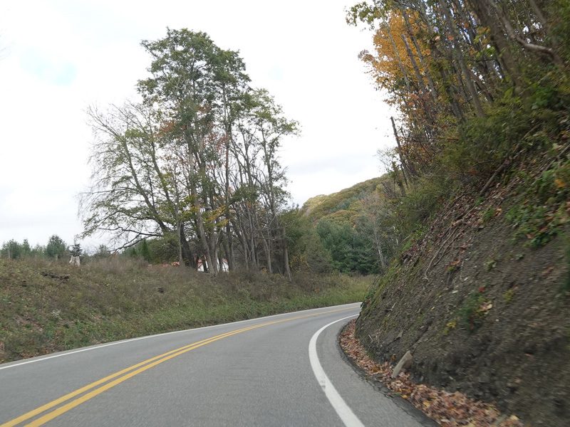
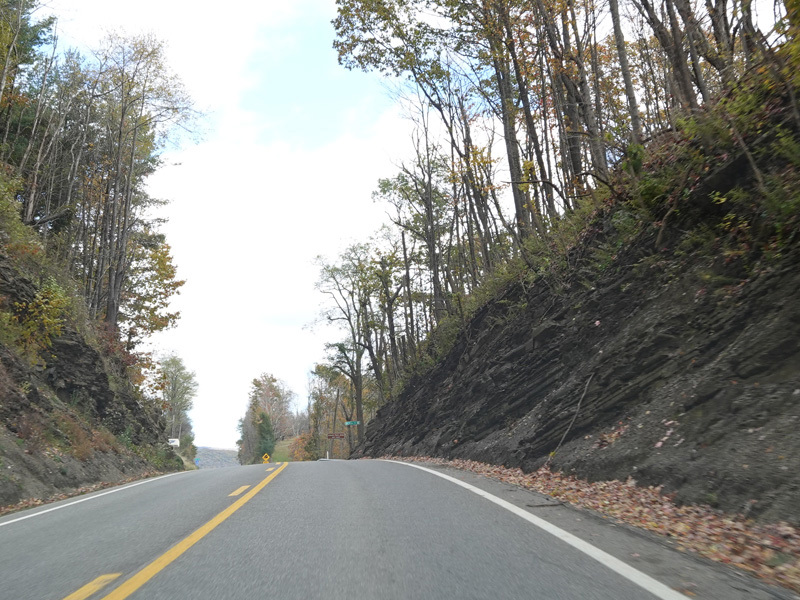
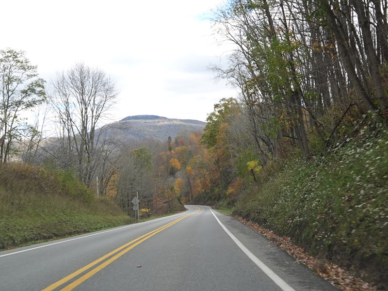
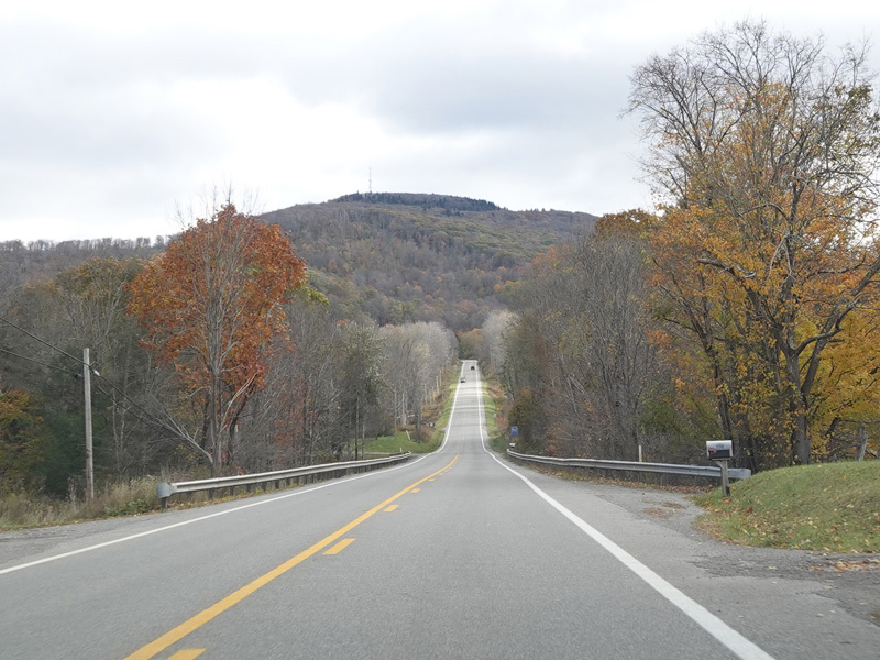
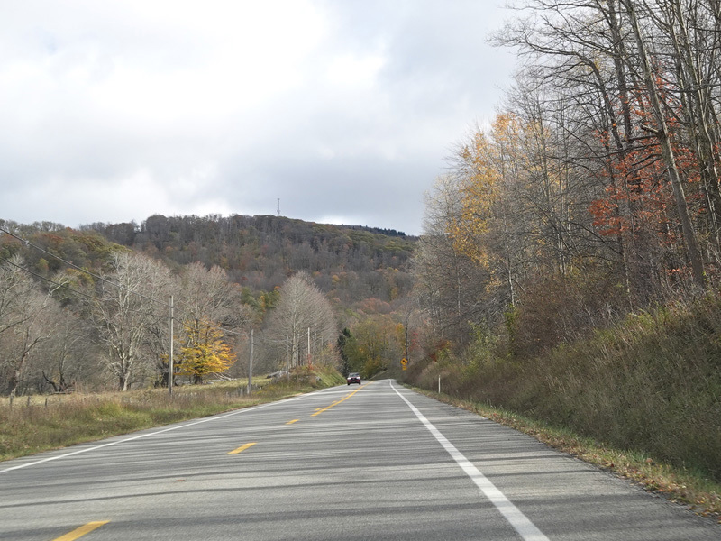
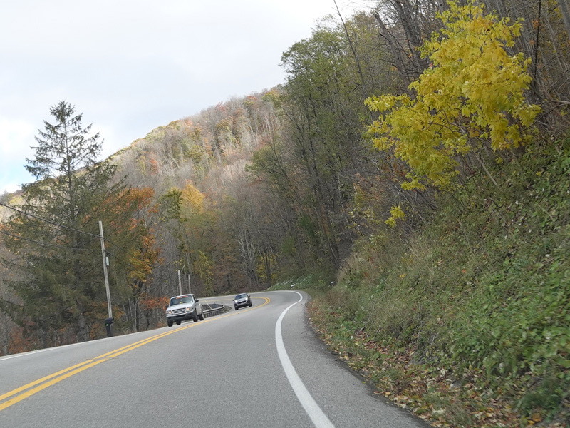
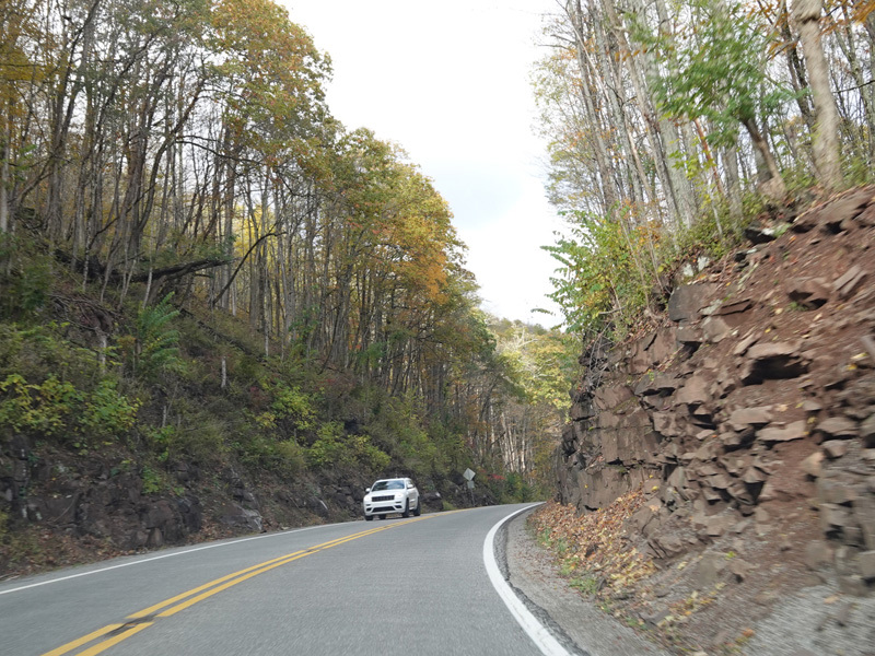
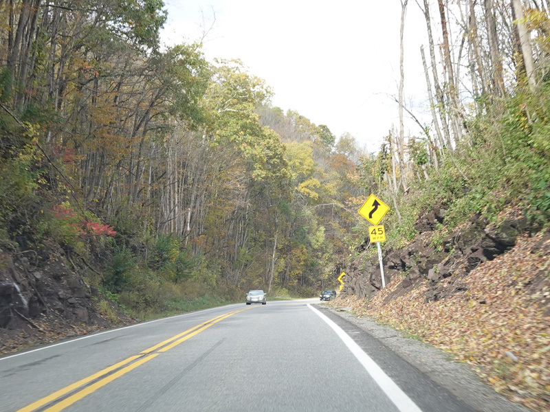
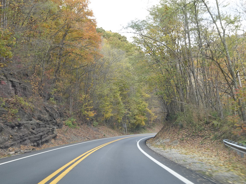
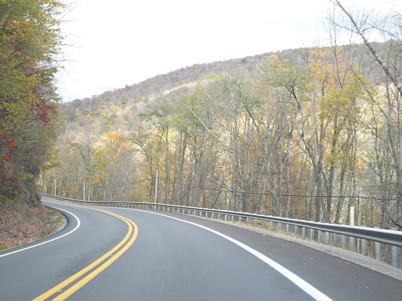
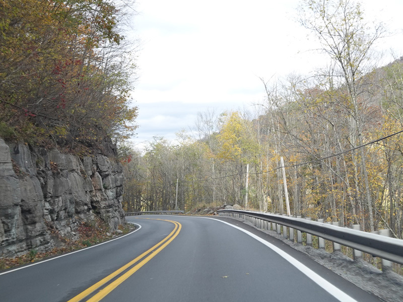
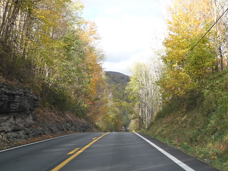
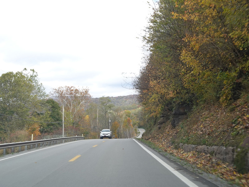
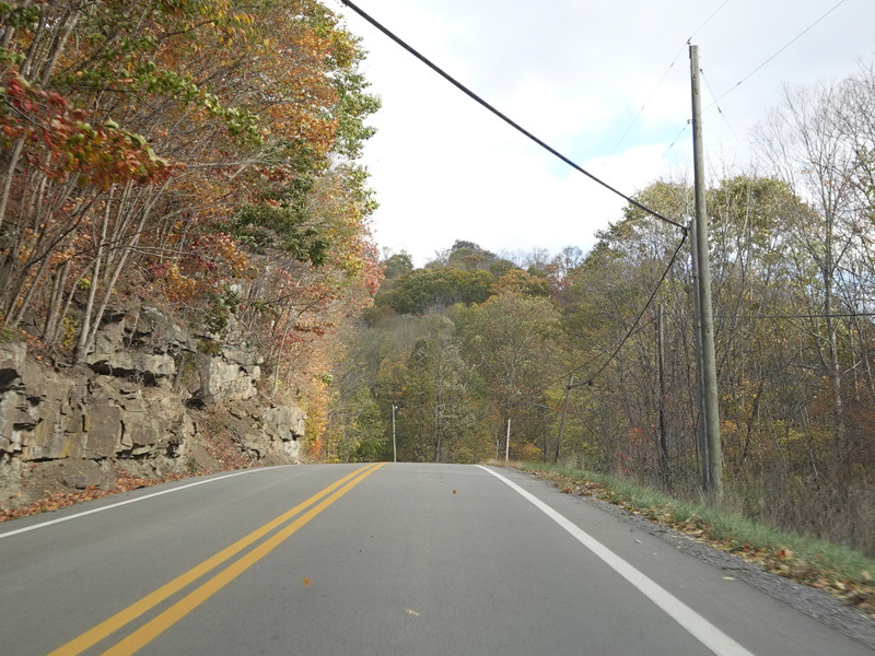
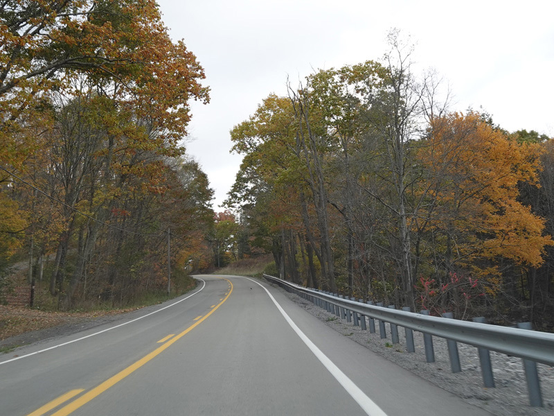
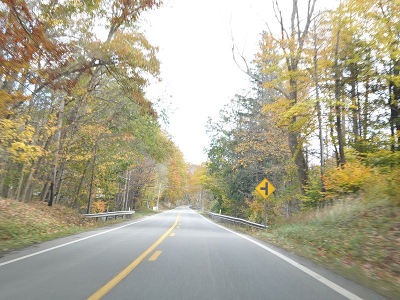
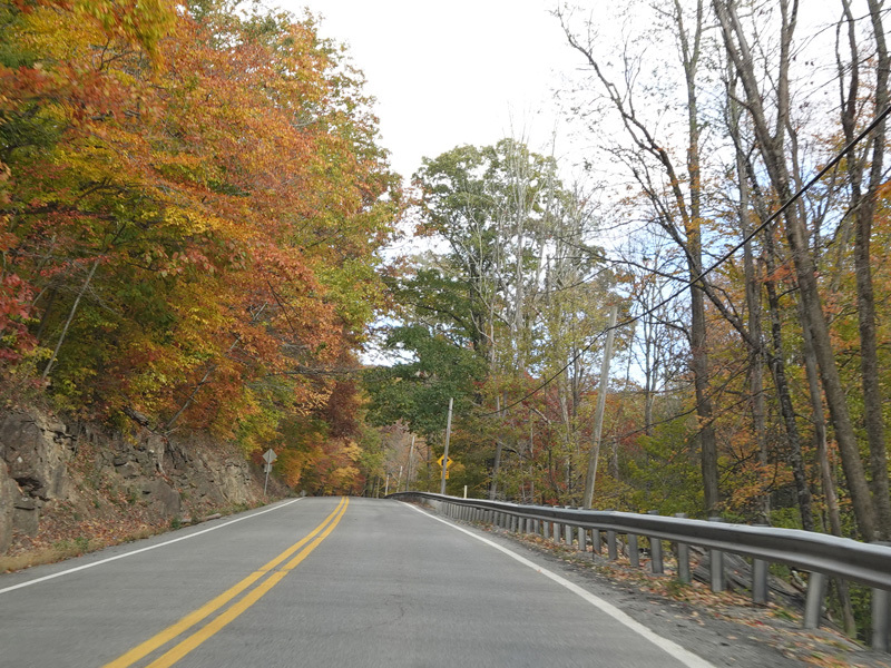
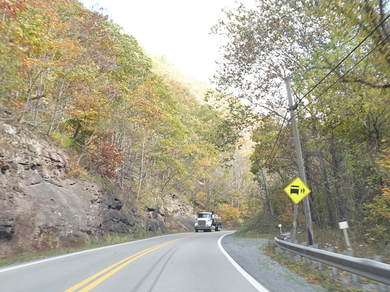
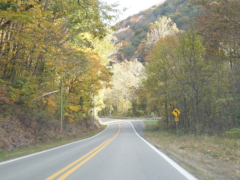
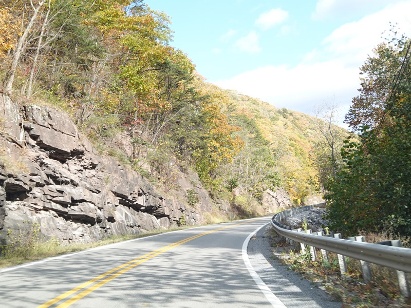
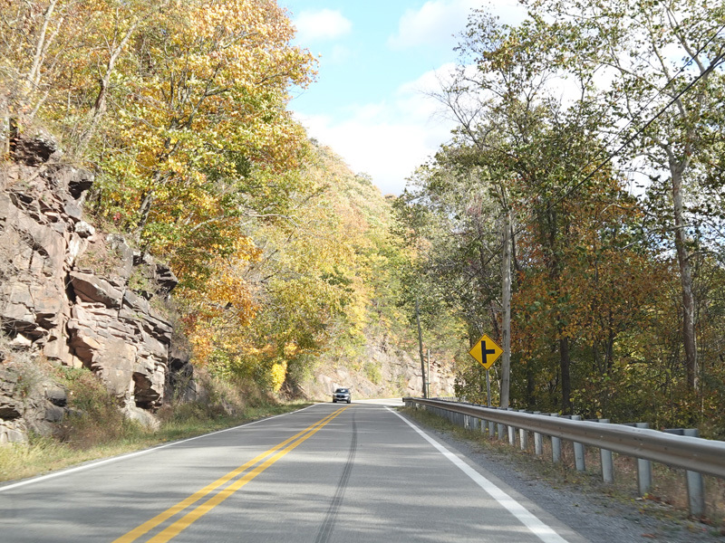
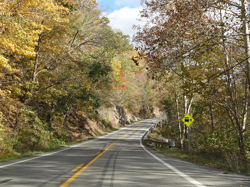
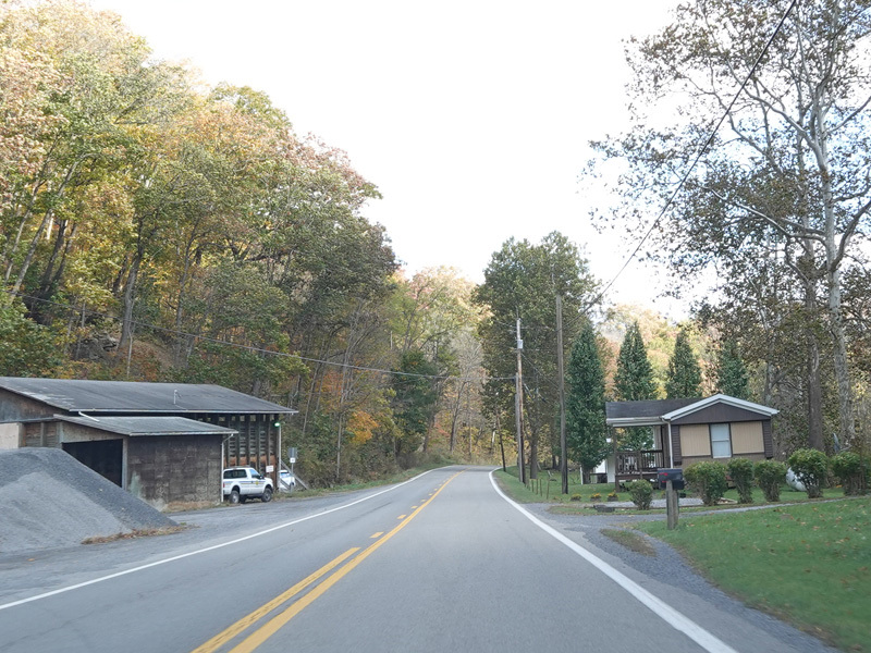
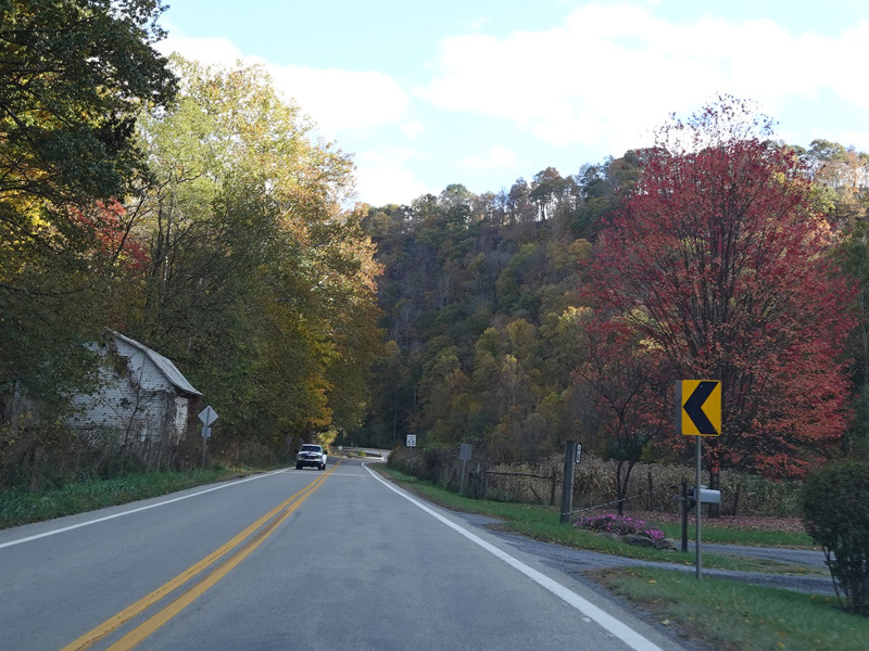
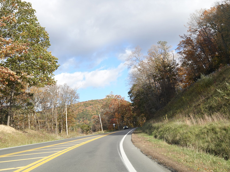
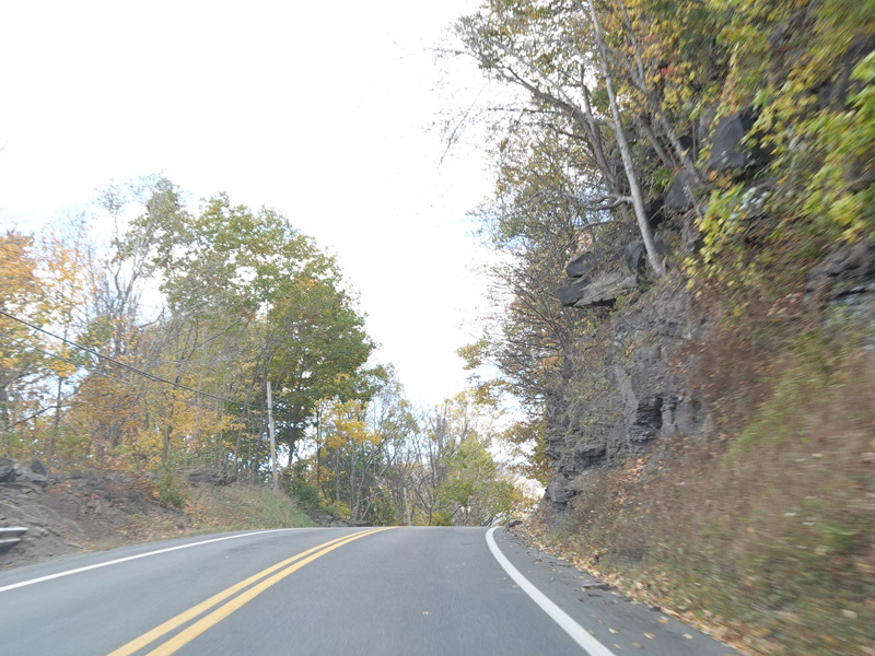
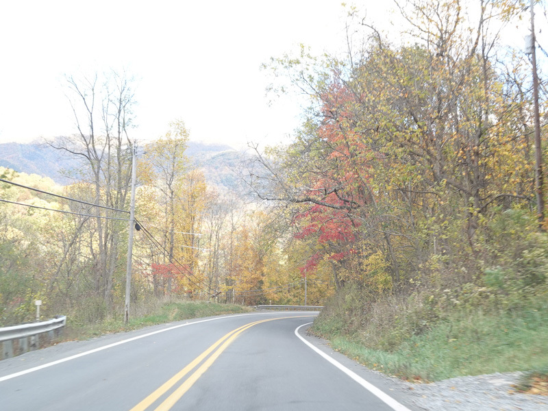
The highway continues east through the mountains.
Photos taken October 2023.
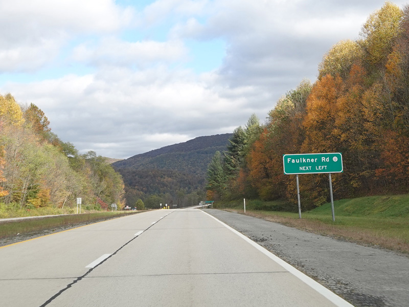
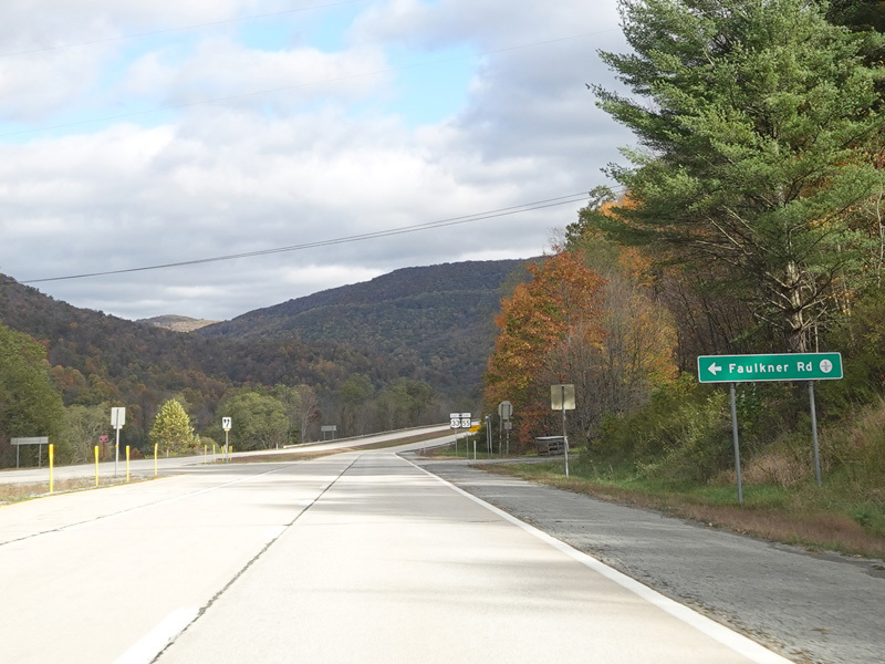
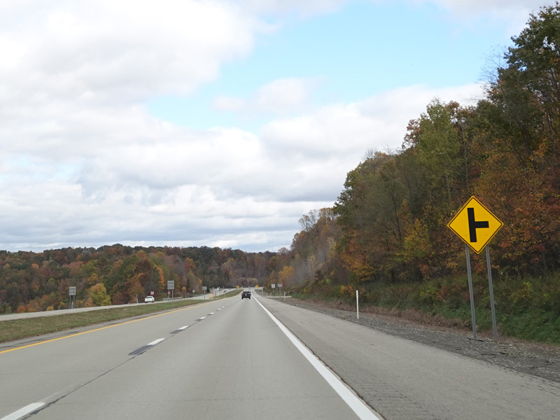
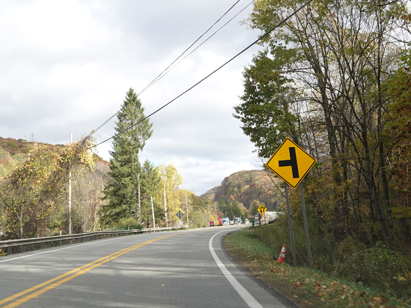
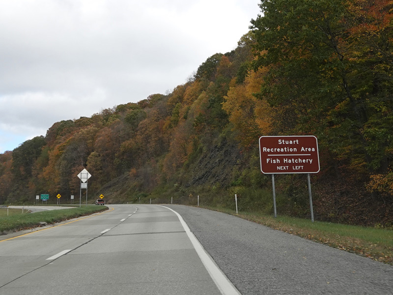
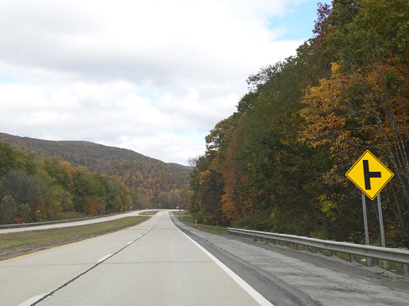
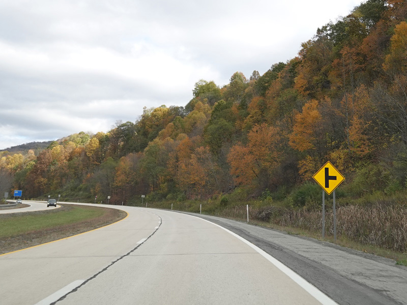
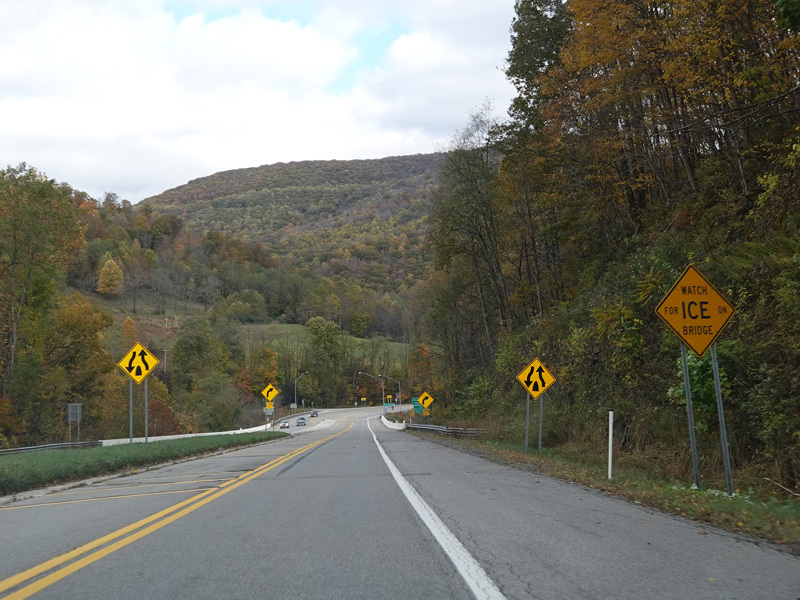
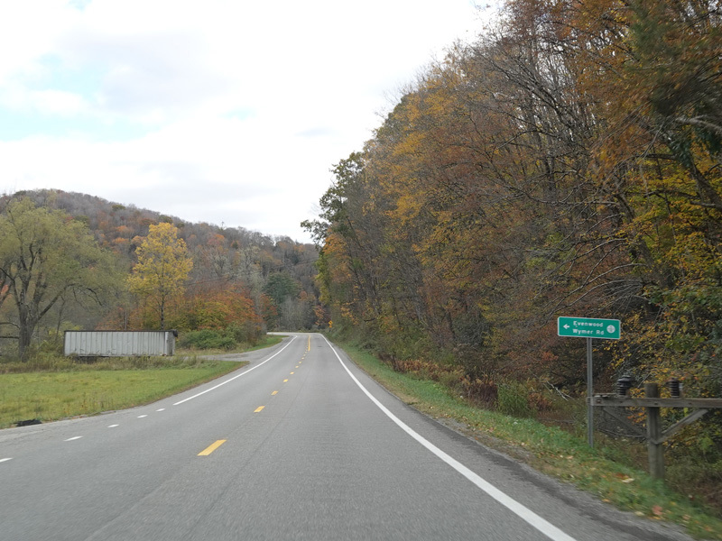
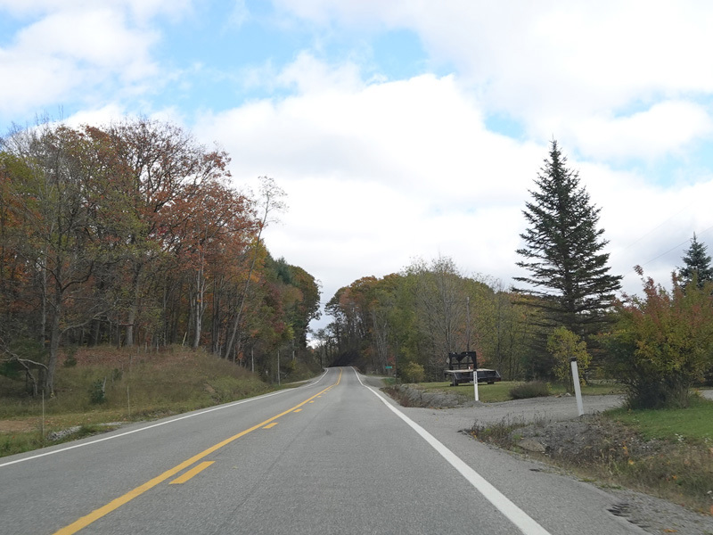
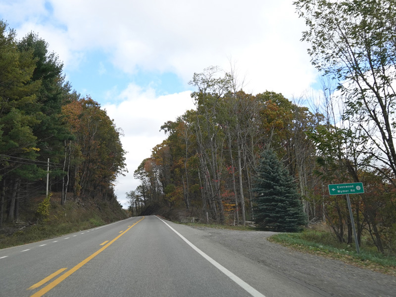
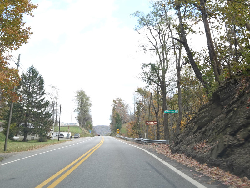
Faulkner Road (CR 5/12) begins on the left at an uncontrolled at-grade intersection.
Photos taken October 2023.
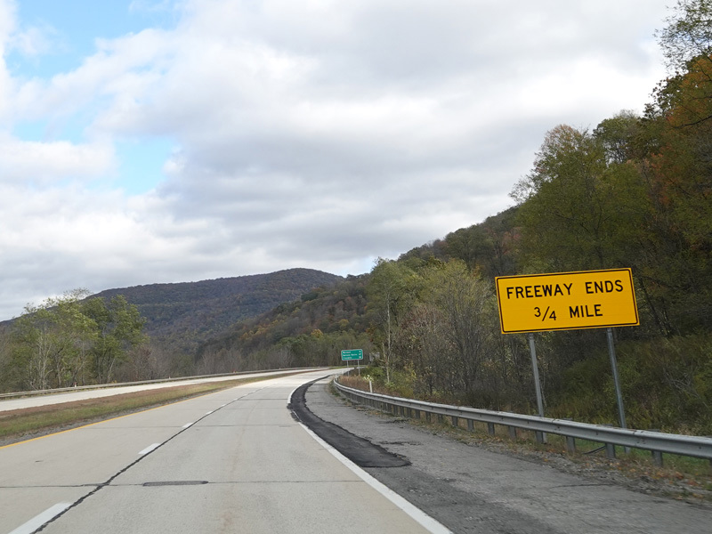
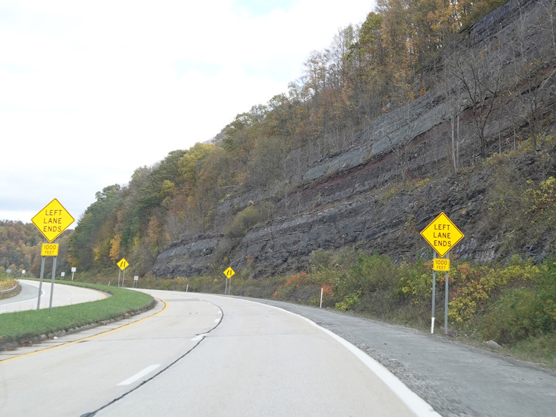
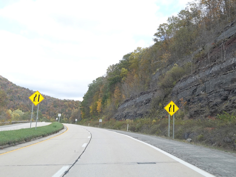
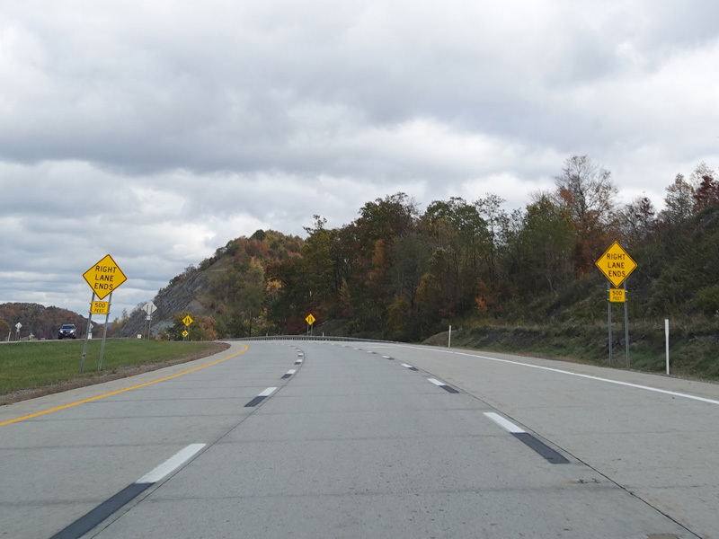
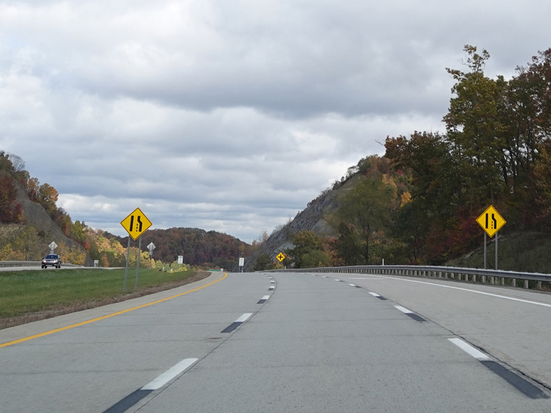
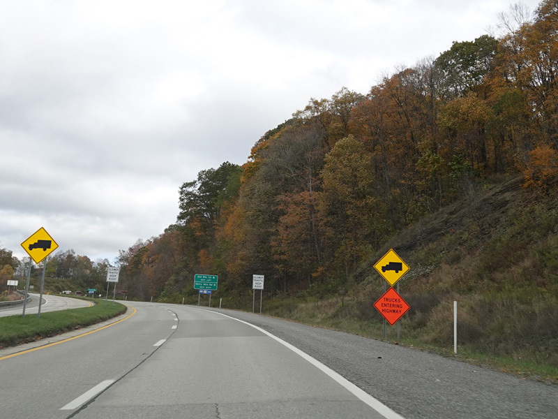
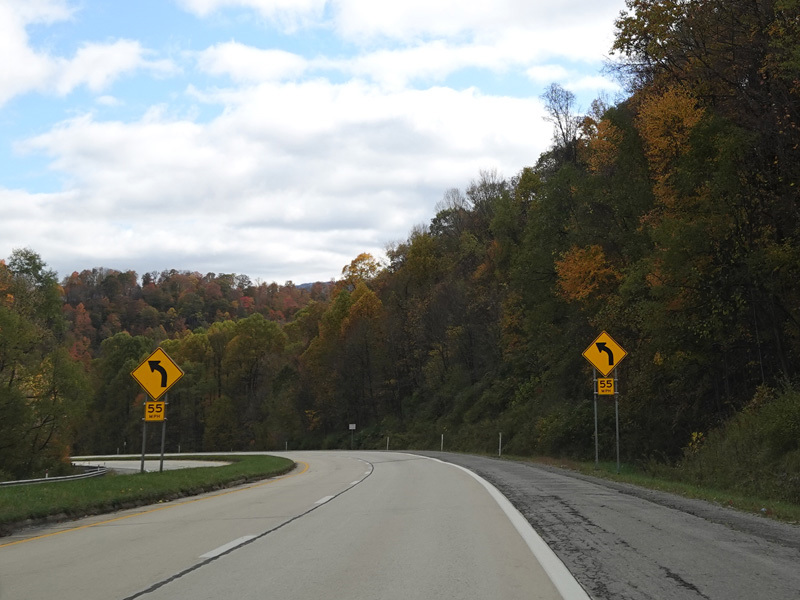
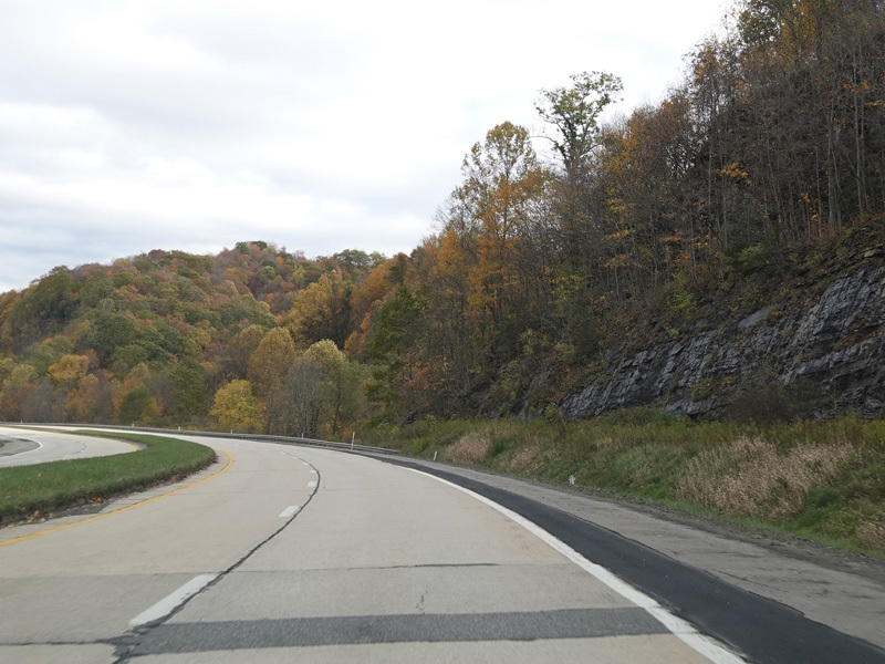
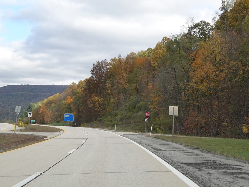
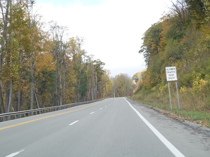
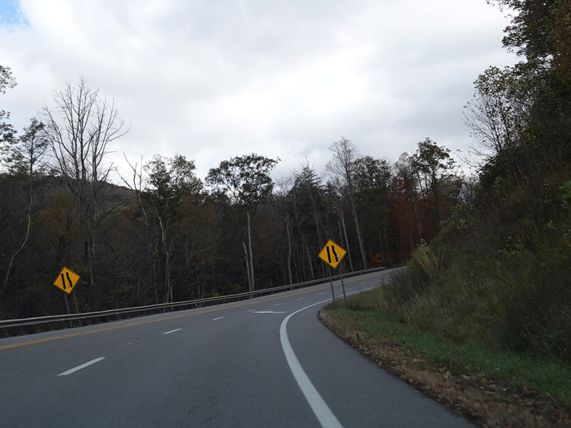
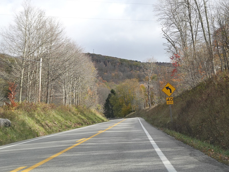
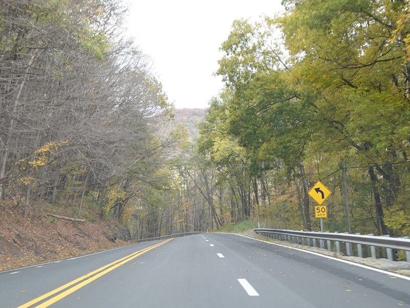
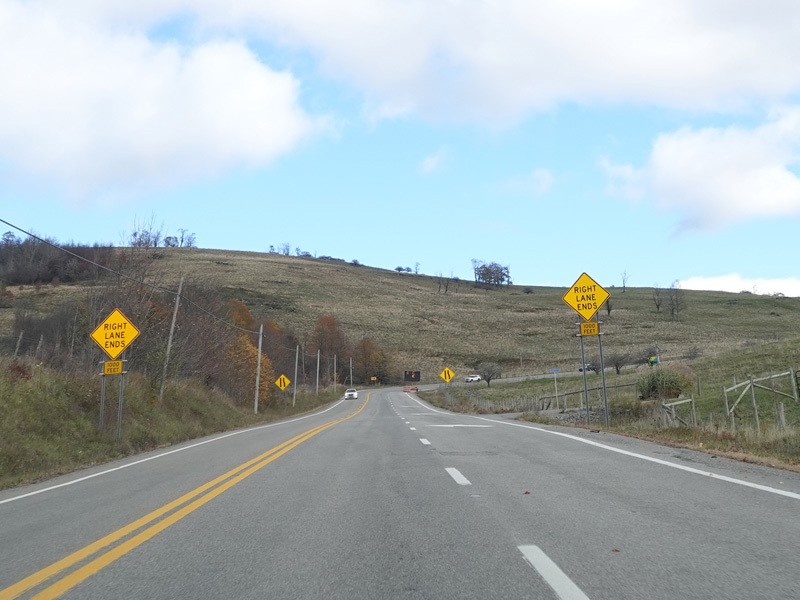
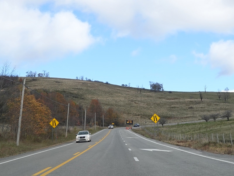
The speed limit drops to 55 MPH as the divided highway ends and then road narrows down to a single lane in each direction.
Photos taken October 2023.
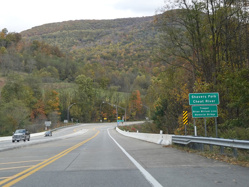
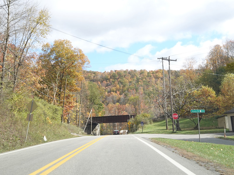
There is a small bridge over the Shavers Fork of the Cheat River.
Photo taken October 2023.
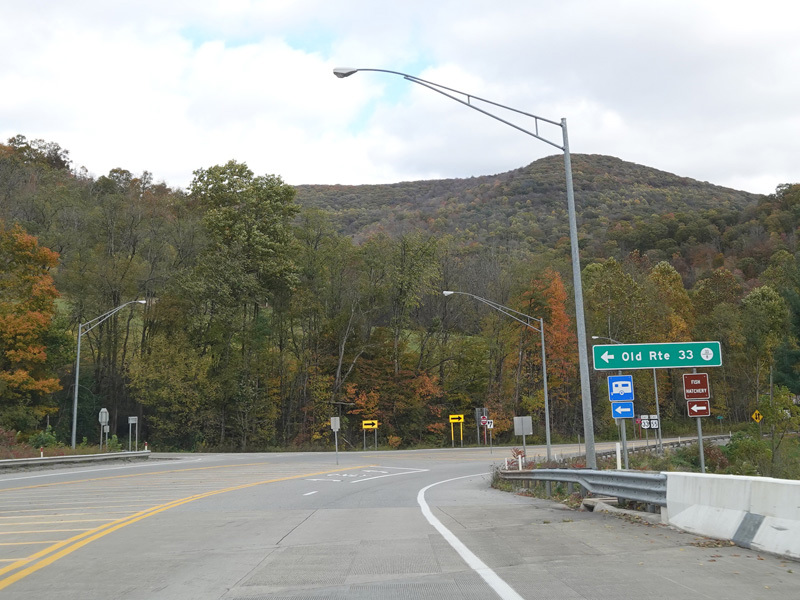
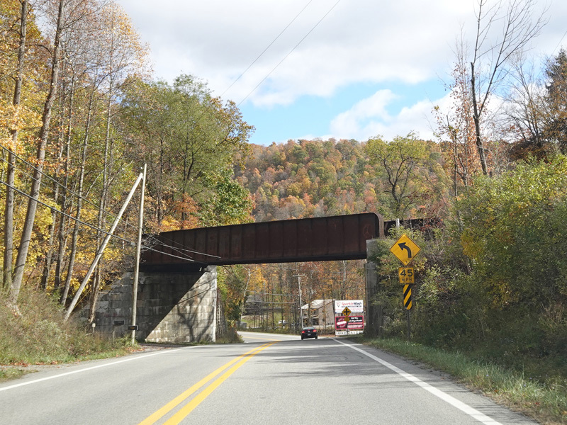
Old Route 33 (CR 33/8) merges in from the left just after the bridge.
Photo taken October 2023.
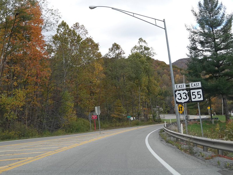
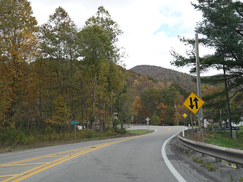
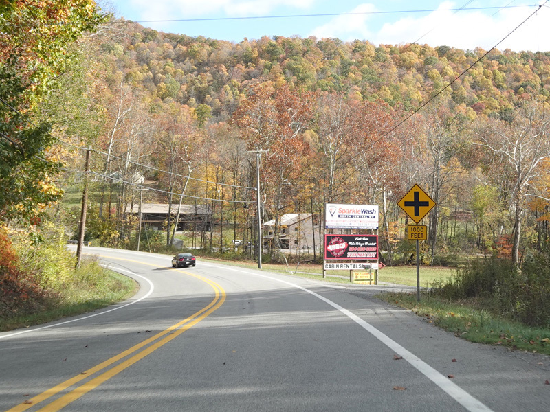
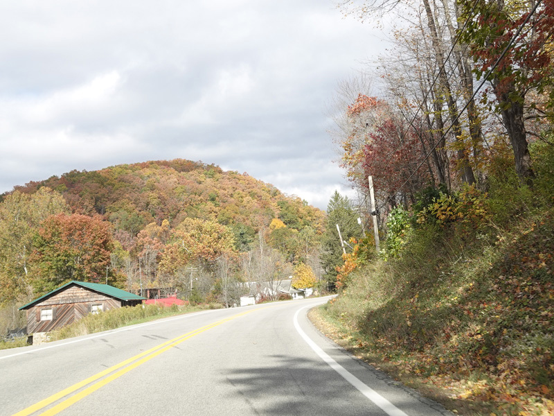
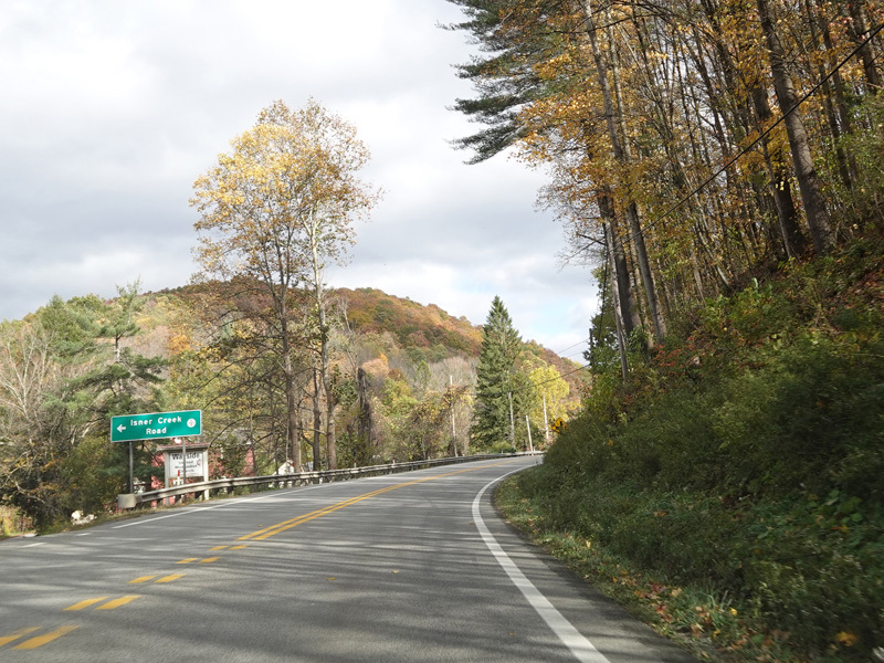
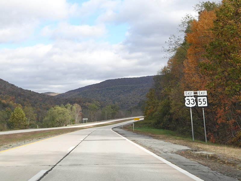
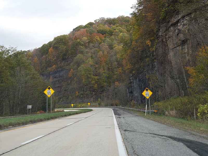
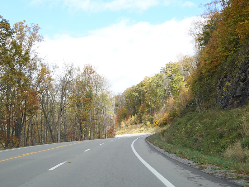
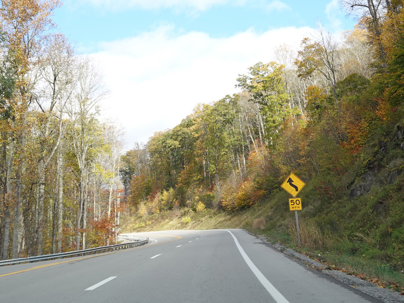
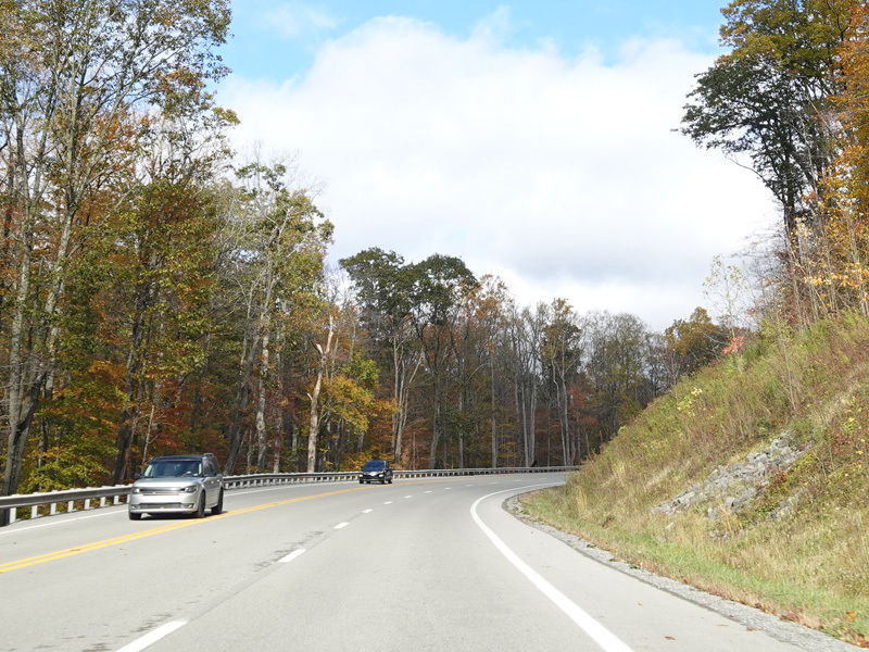
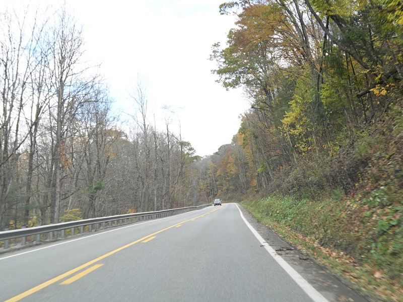
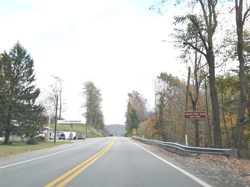
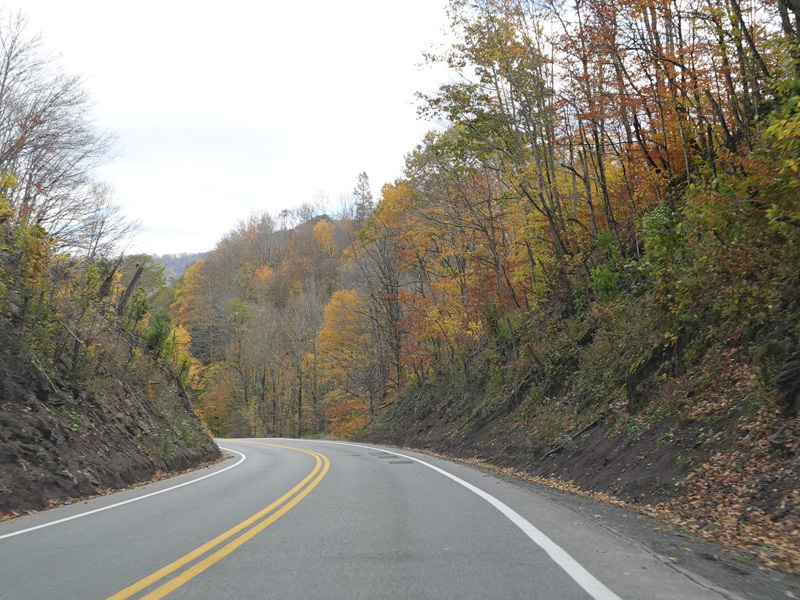
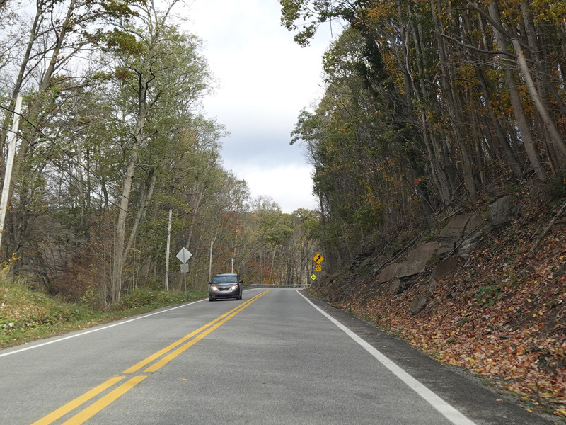
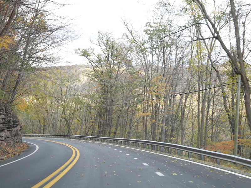
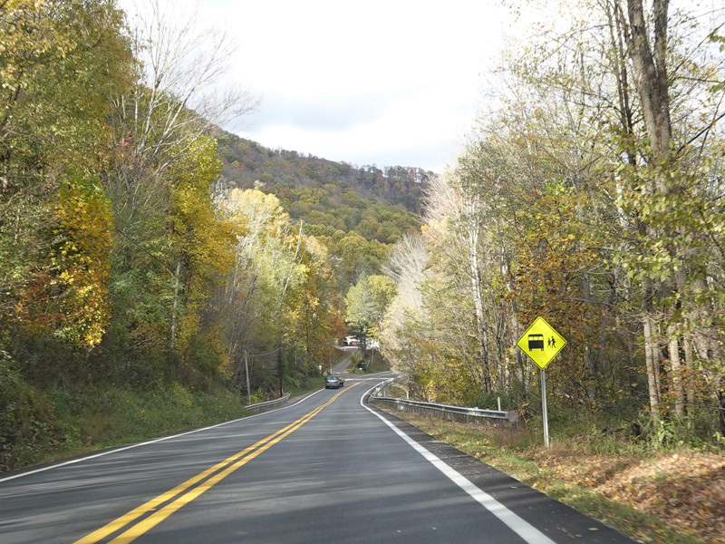
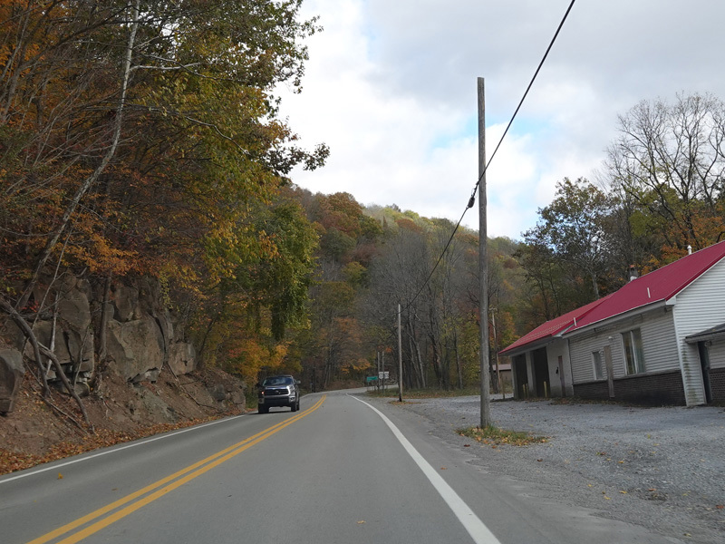
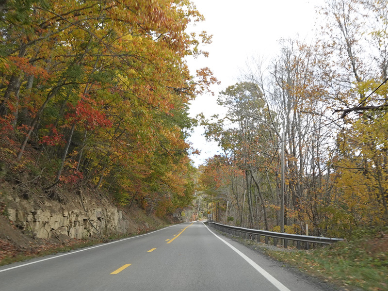
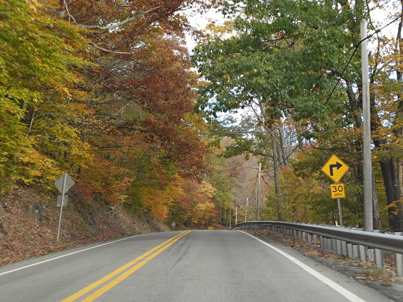
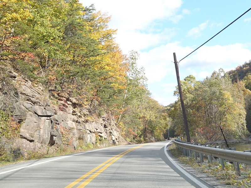
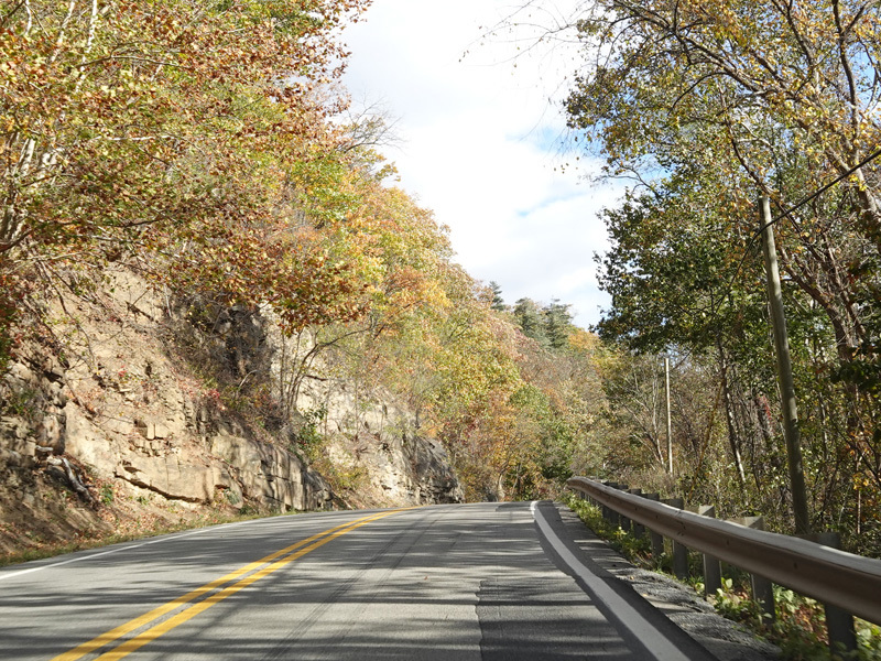
US 33/WV 55 runs east as a two-lane undivided road.
Photos taken October 2023.
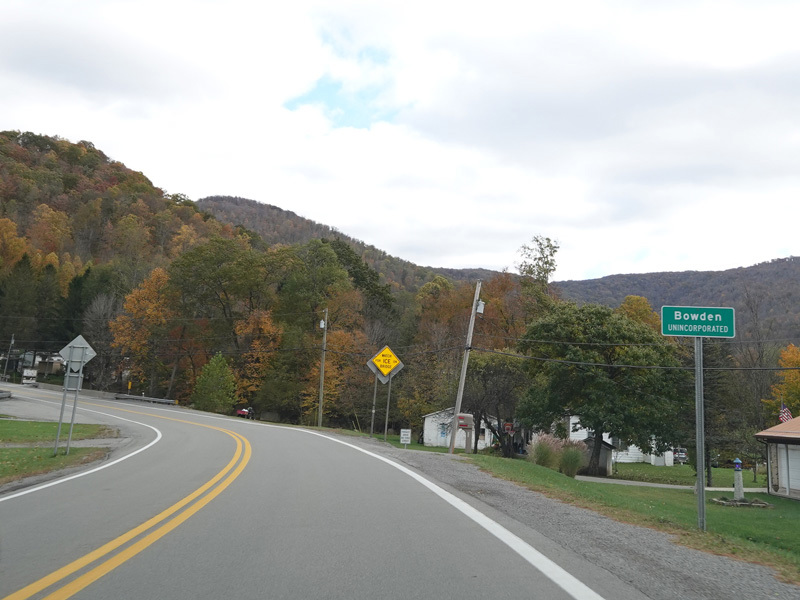
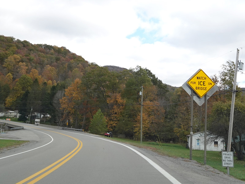
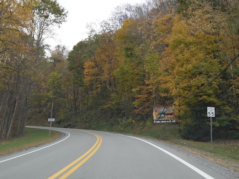
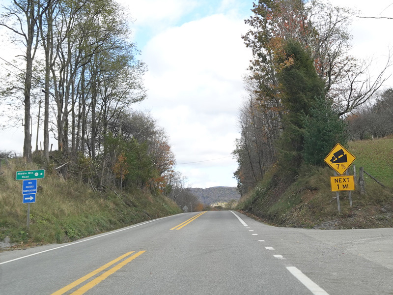
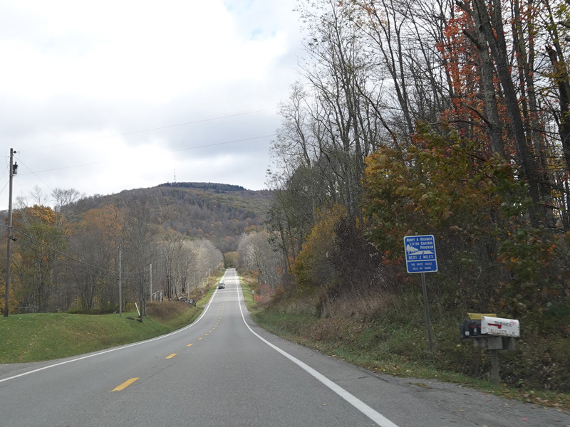
Welcome to Bowden! US 33/WV 55 begins to climb Shavers Mountain.
Photos taken October 2023.
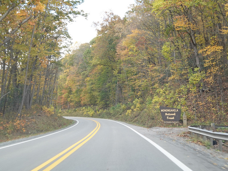
Welcome to the Monongahela National Forest!
Photo taken October 2023.
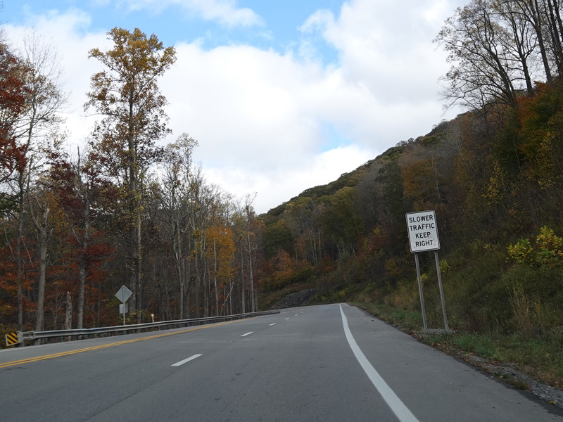
There is a second eastbound lane for slow vehicles going up the mountain.
Photos taken October 2023.
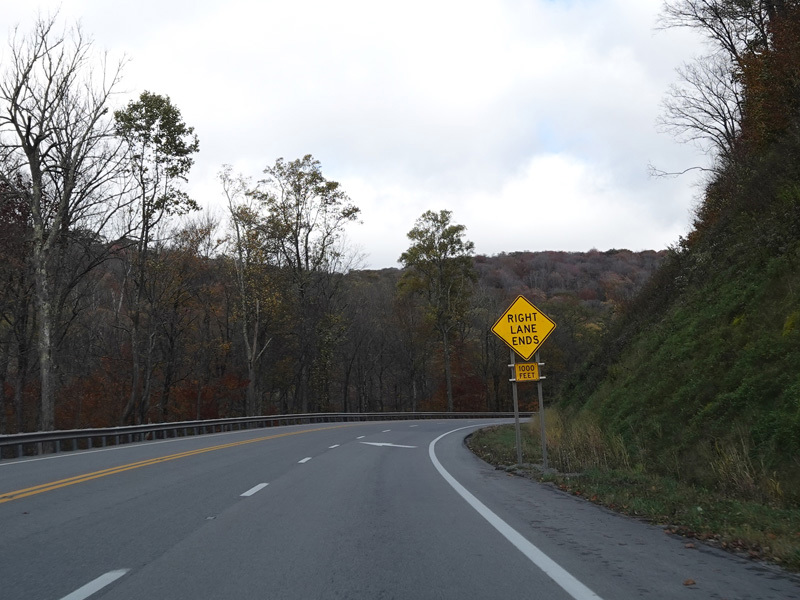
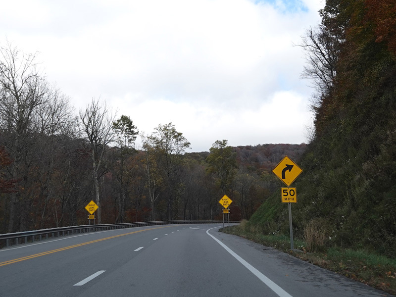
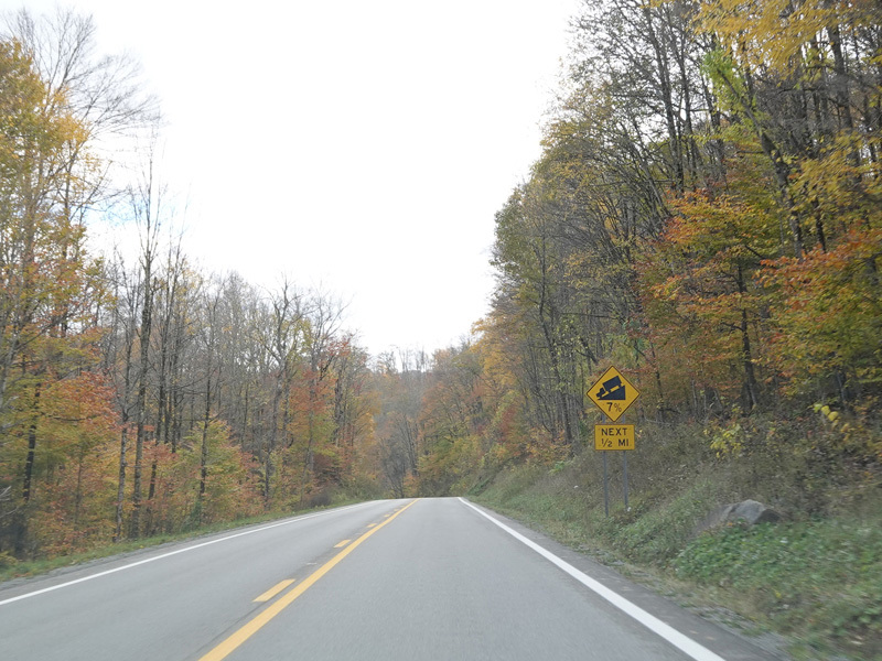
Approaching the summit, US 33/WV 55 narrows back down to two lanes.
Photos taken October 2023.
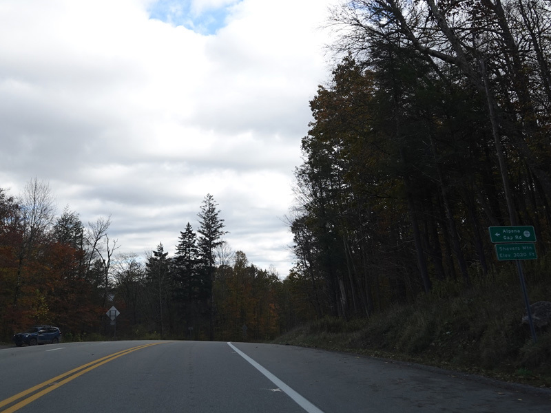
Alpena Gap Road (CR 12/1) begins on the left at the summit.
Photo taken October 2023.
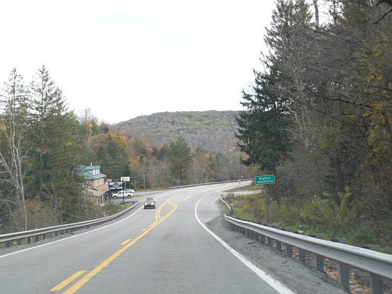
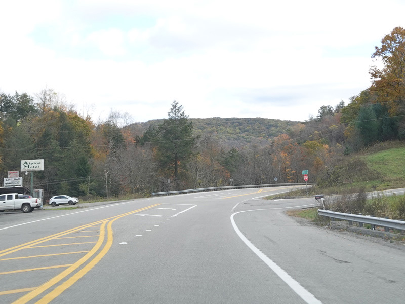

US 33/WV 55 heads back down the other side of the mountain, passing through Alpena.
Photos taken October 2023.
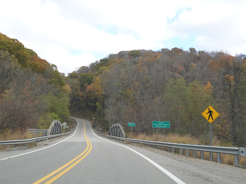
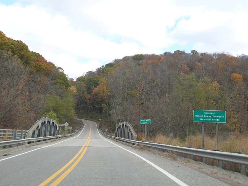
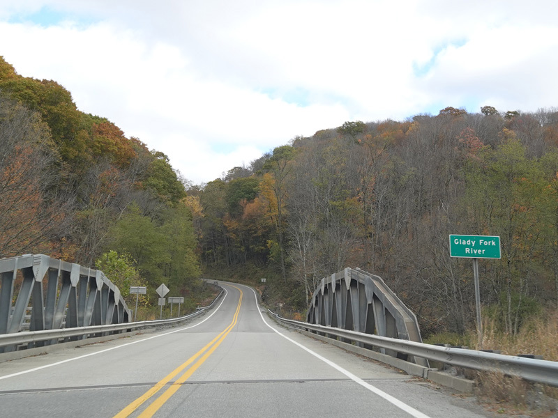
There is a small bridge over the Glady Fork River.
Photos taken October 2023.
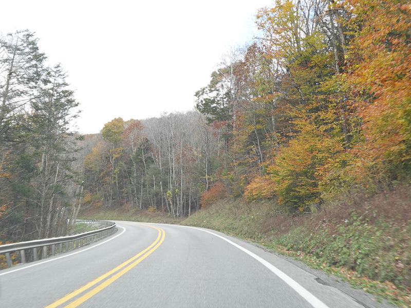
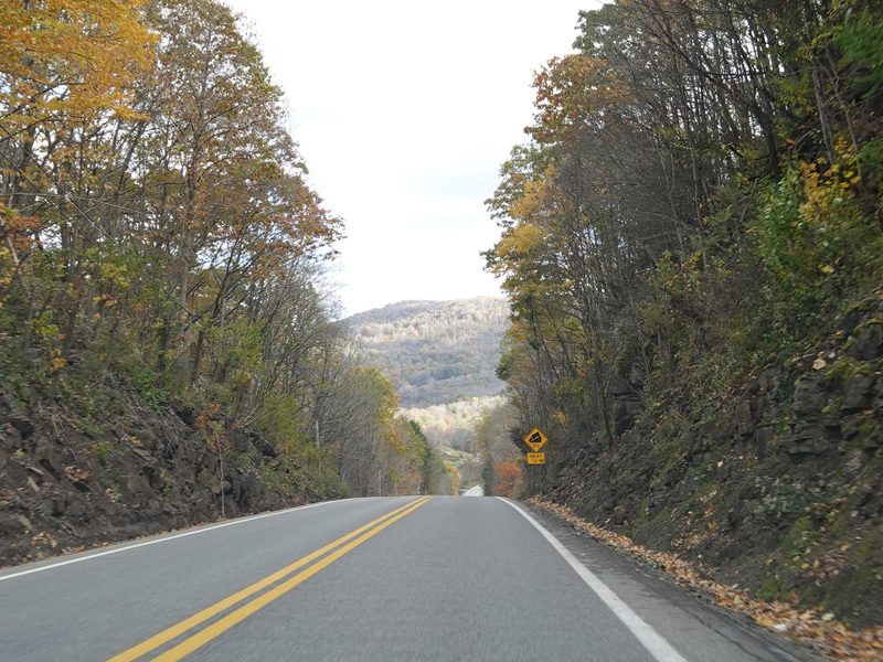
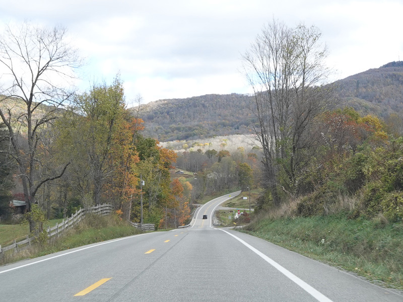
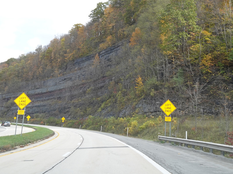
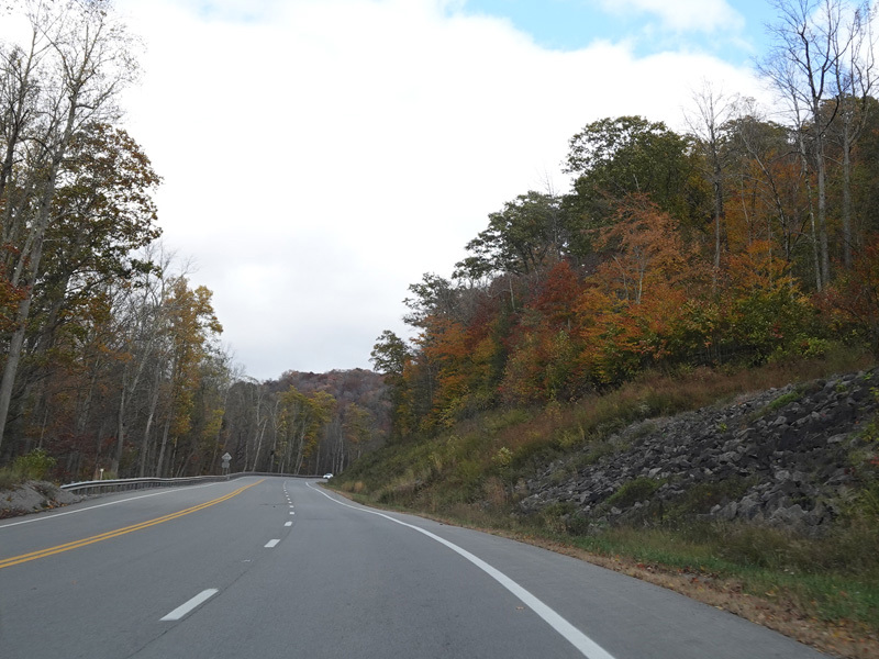
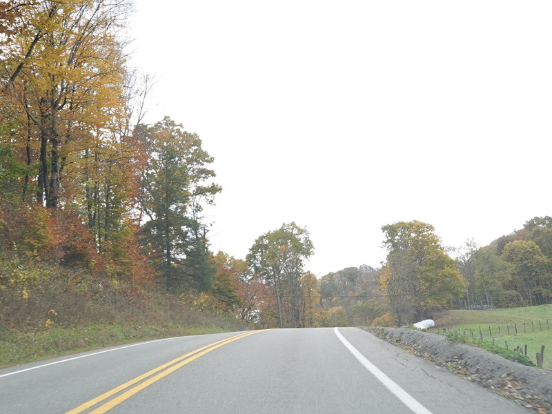
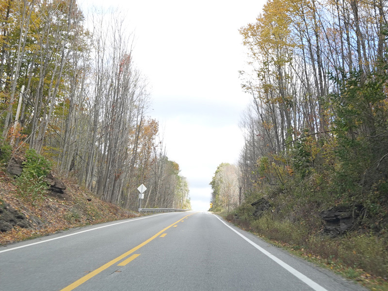
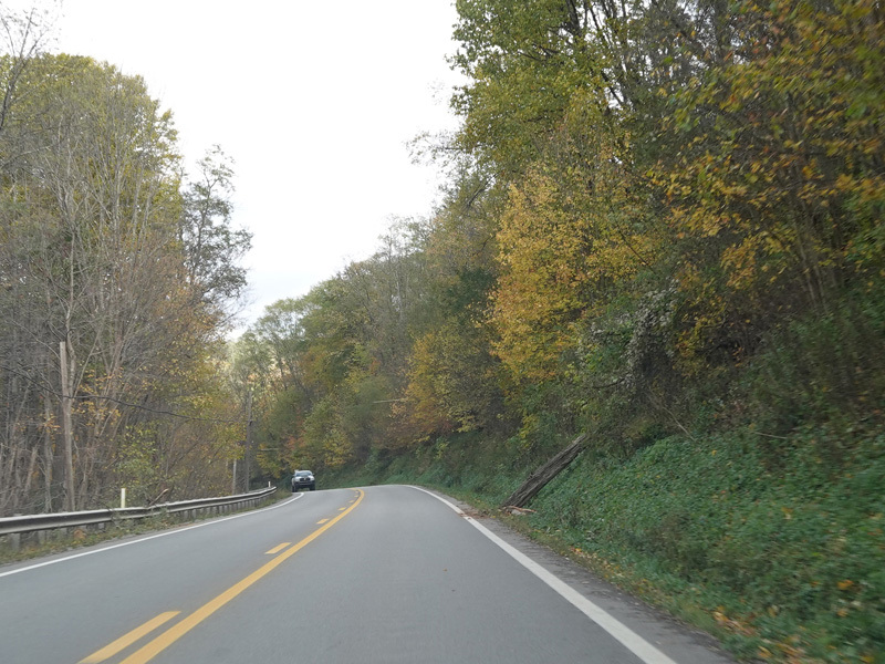
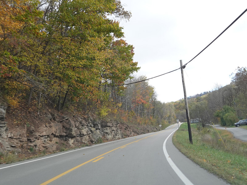
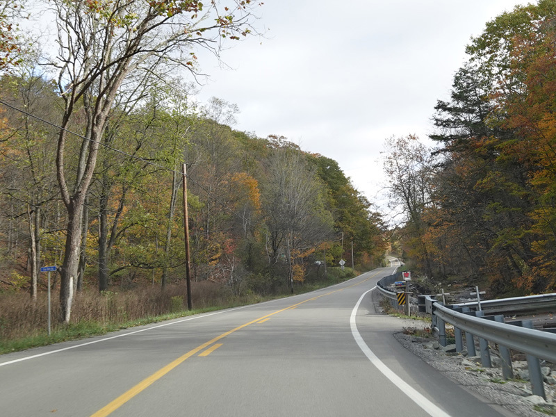
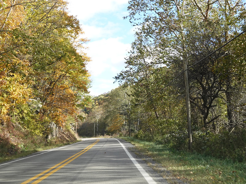
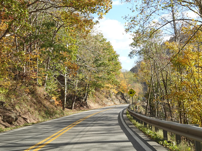
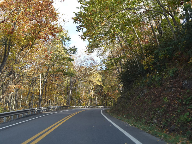
US 33/WV 55 continues east as a two-lane undivided road.
Photos taken October 2023.
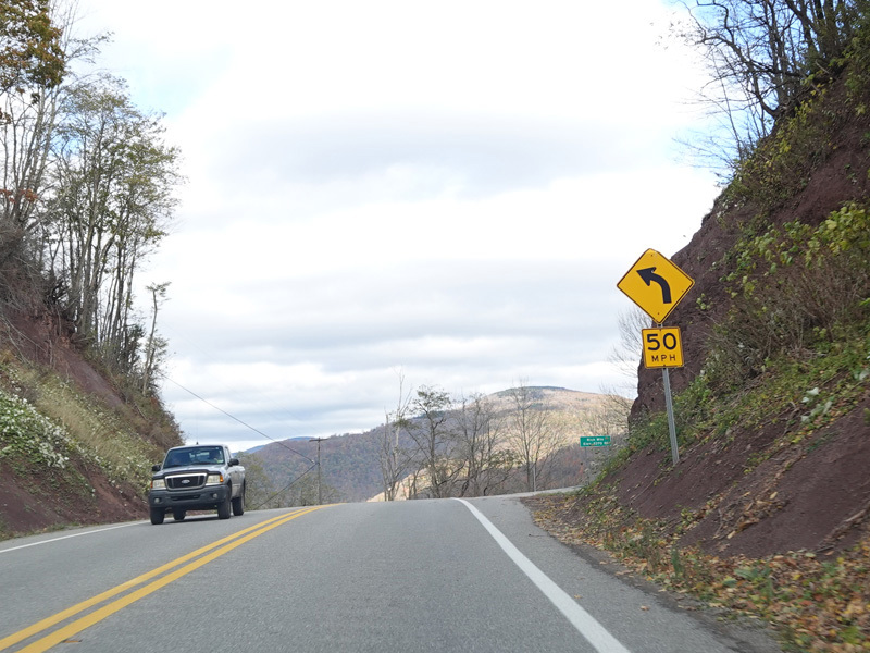
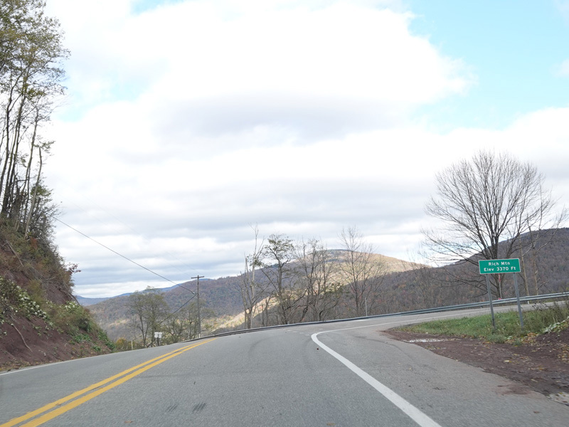
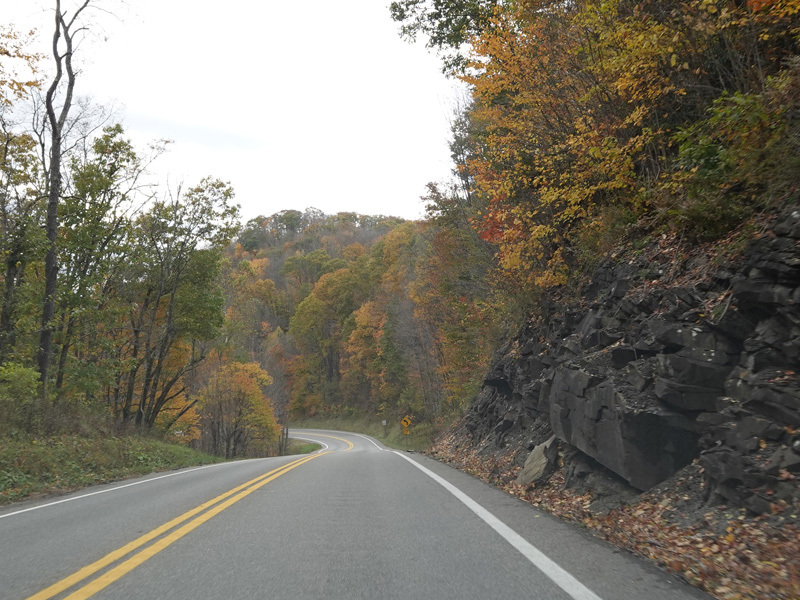
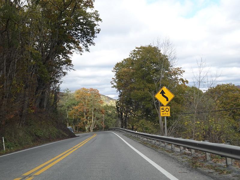
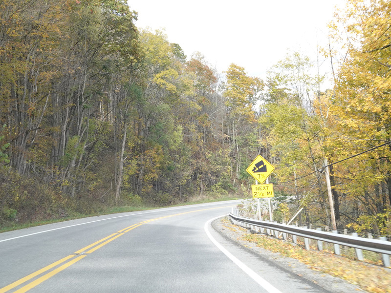
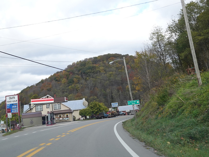
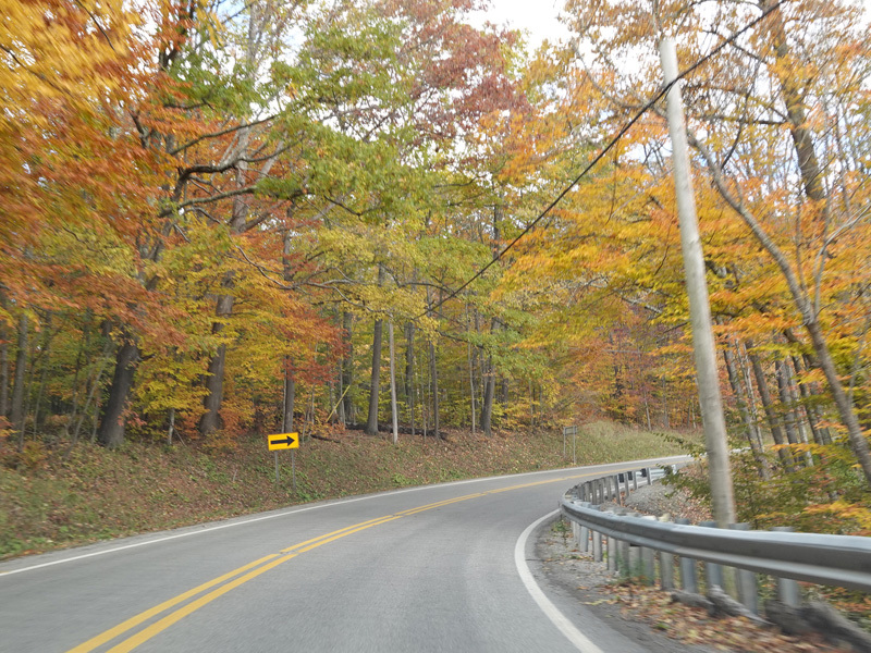
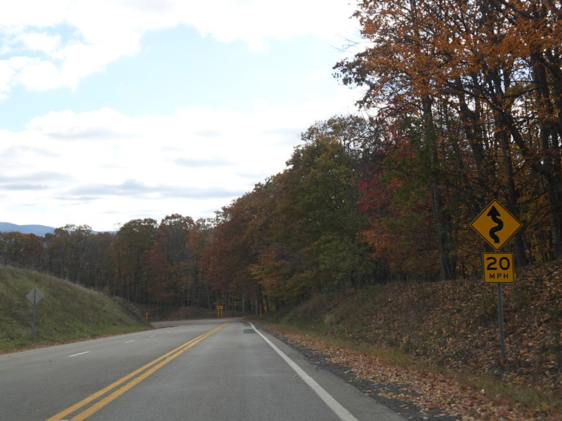
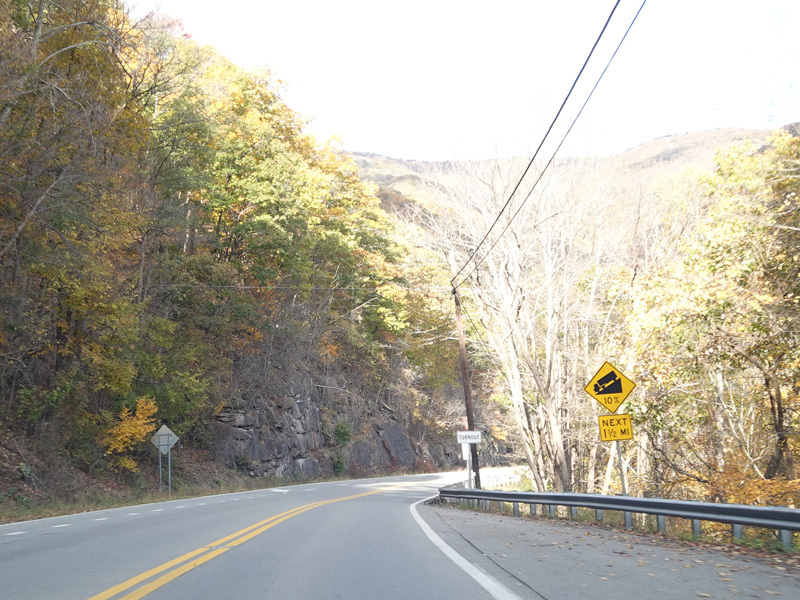
US 33/WV 55 ascends to the summit of Rich Mountain.
Photos taken October 2023.
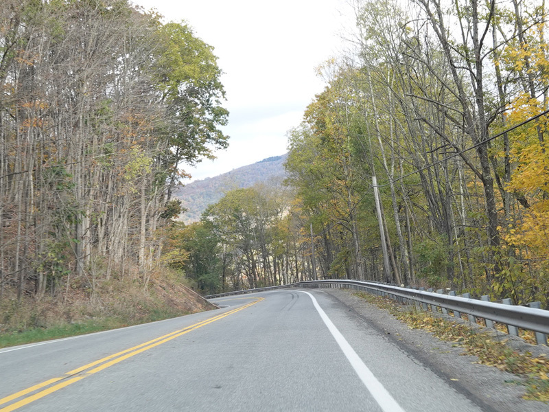
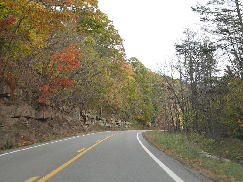
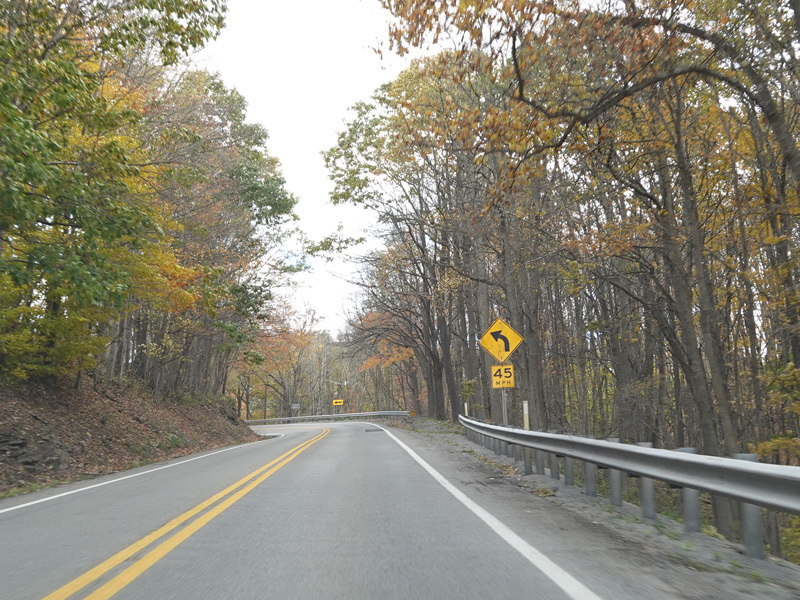
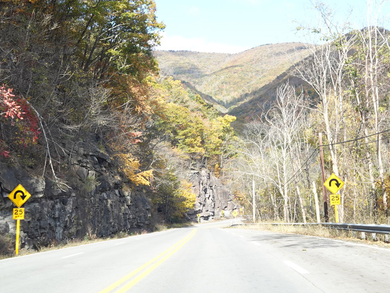
US 33/WV 55 comes back down the other side of the mountain.
Photos taken October 2023.
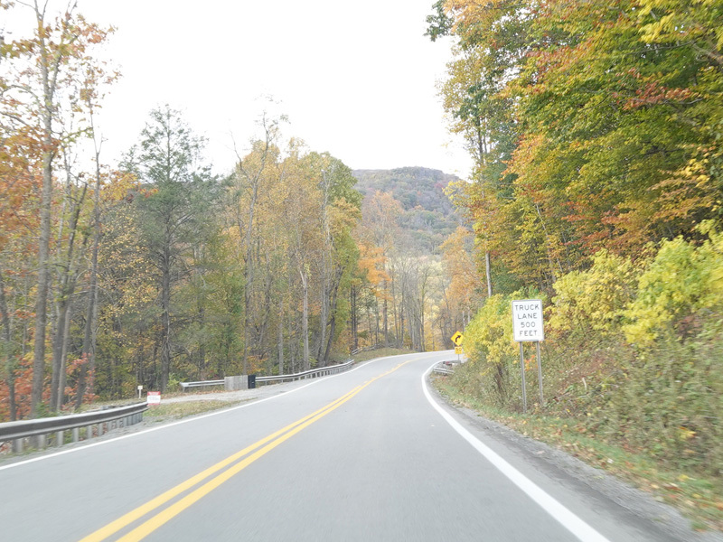
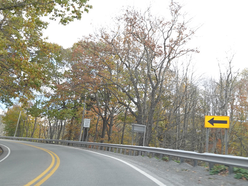
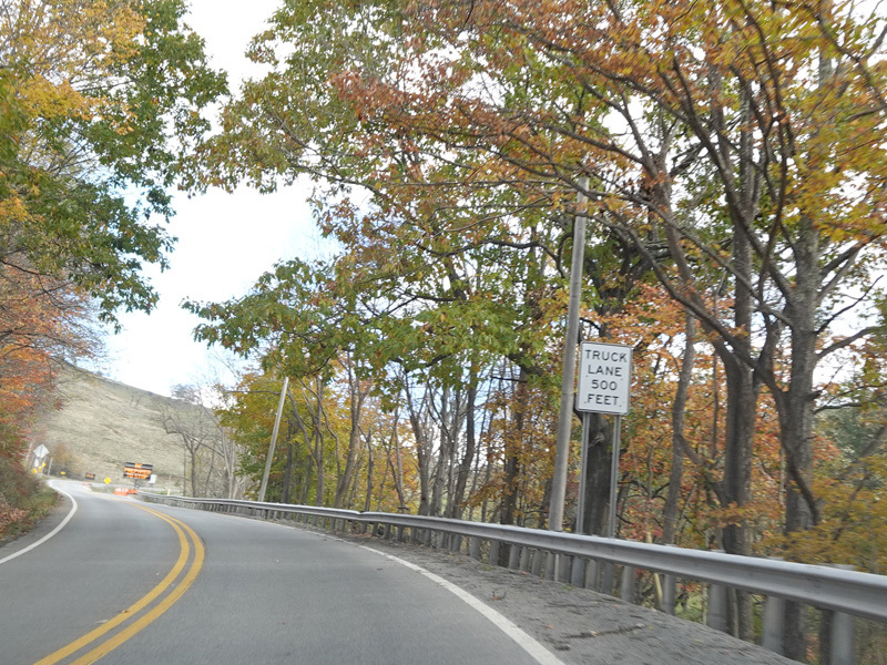
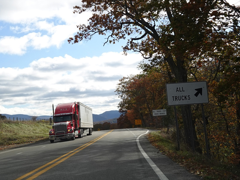
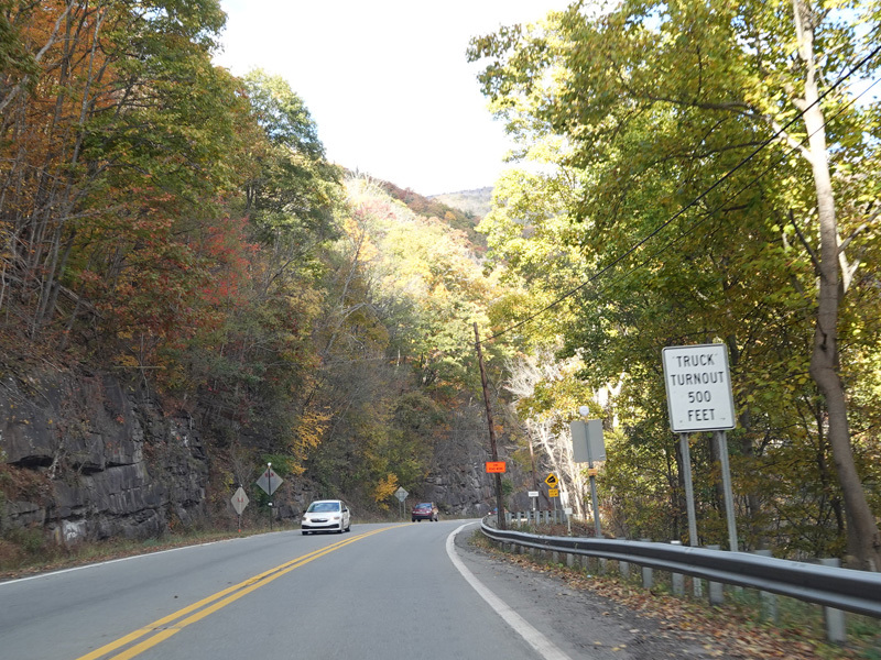
There is a truck turnout on the right.
Photos taken October 2023.
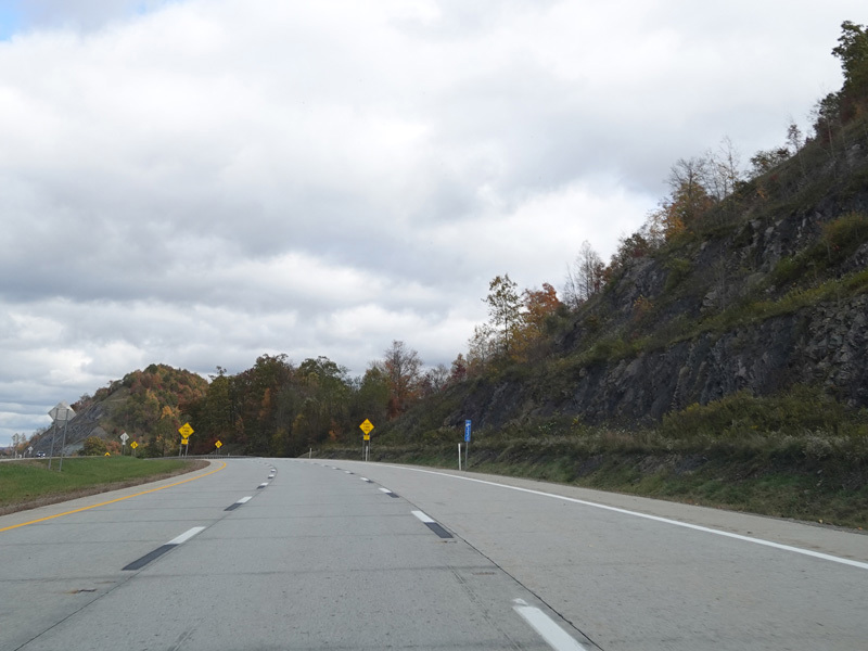
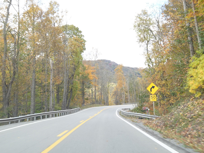
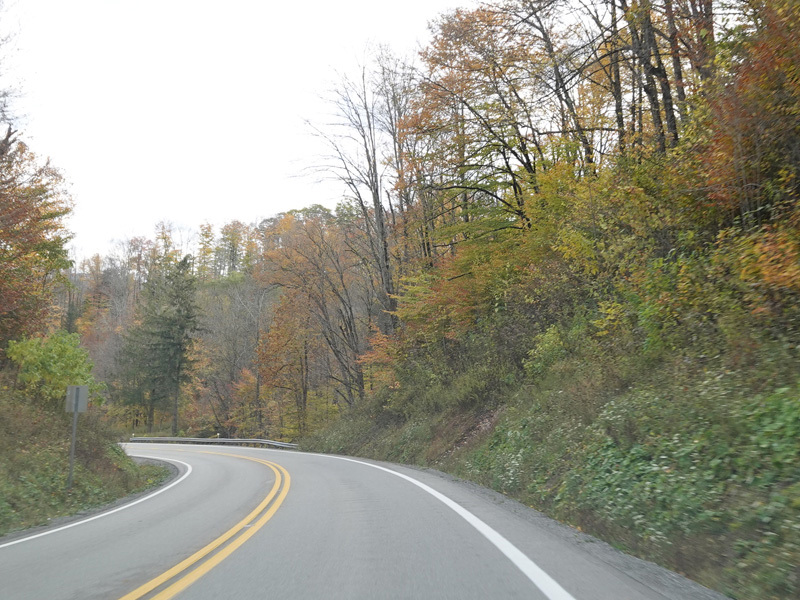
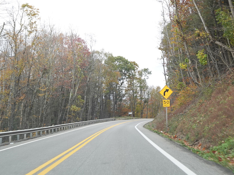
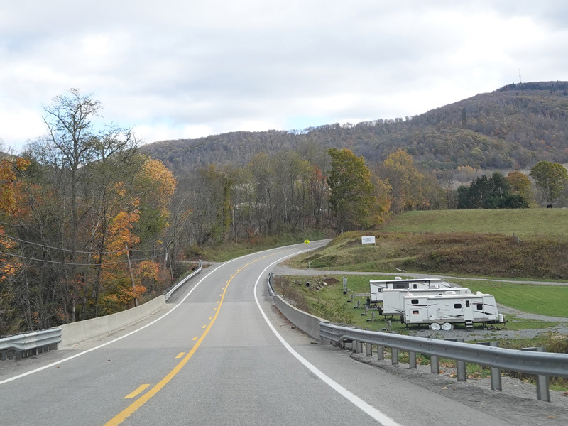
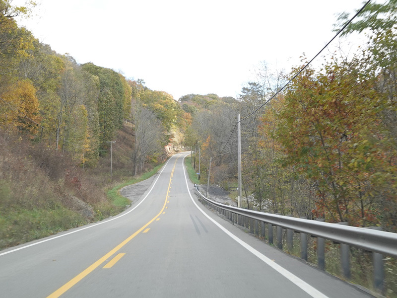
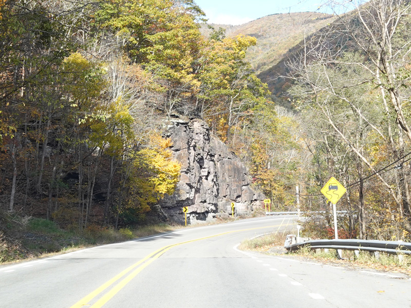
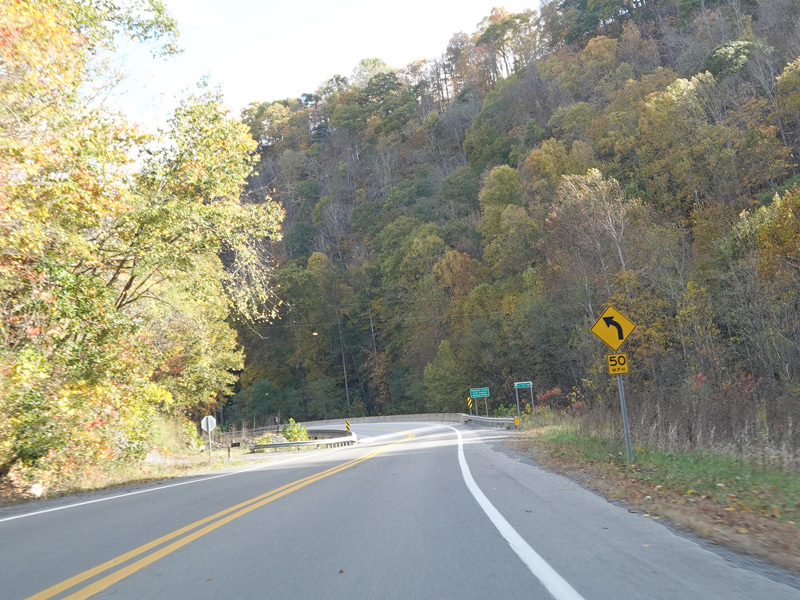
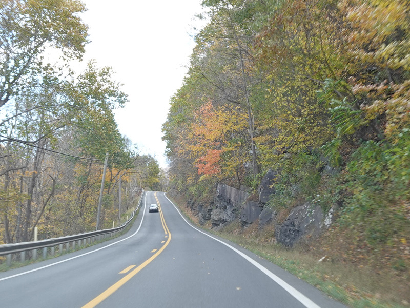
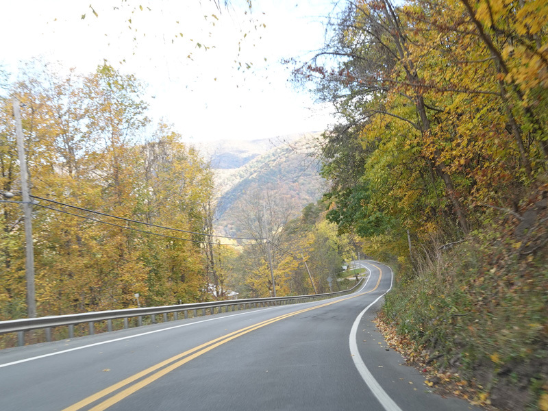
US 33/WV 55 continues down the mountain.
Photos taken October 2023.
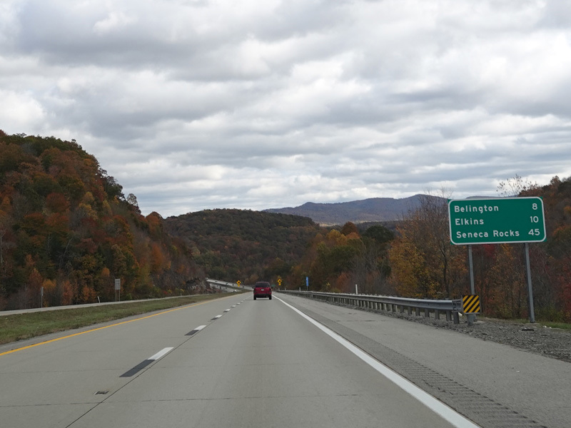
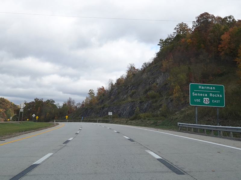
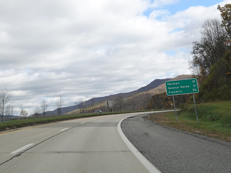
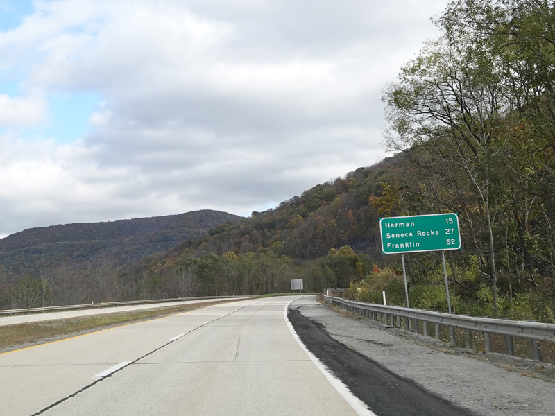
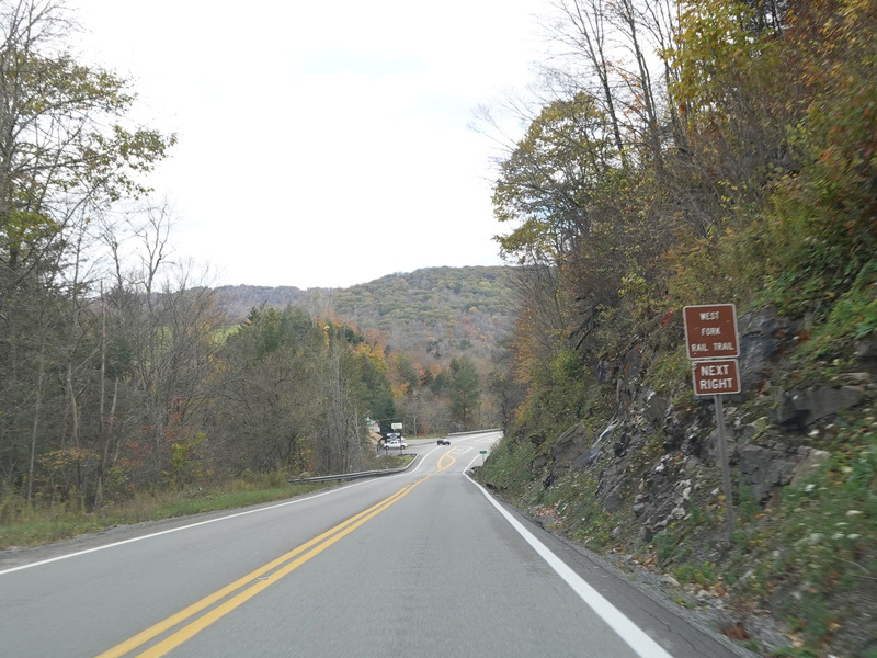
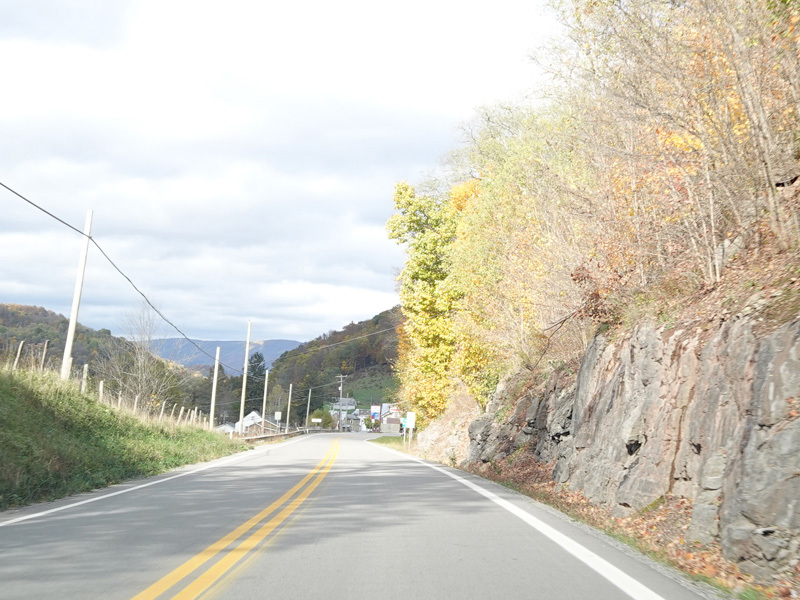
US 33/WV 55 continues east toward Harman.
Photos taken October 2023.
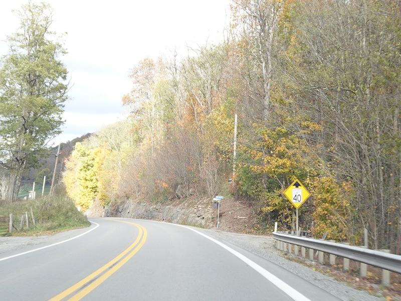
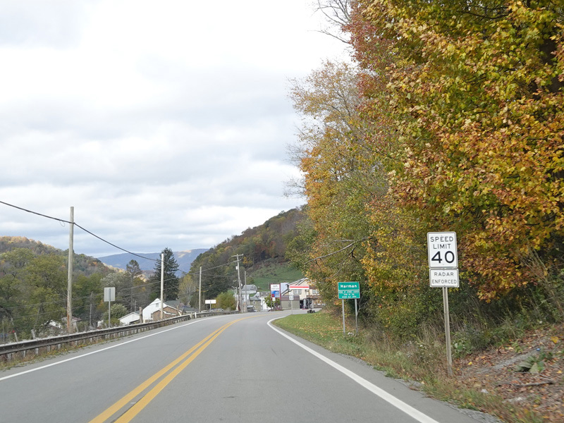
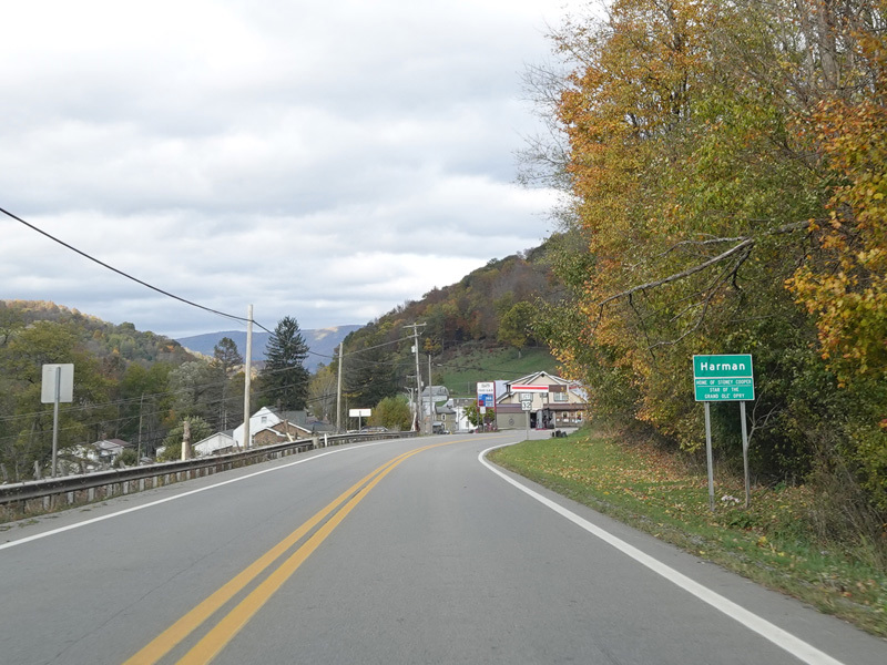
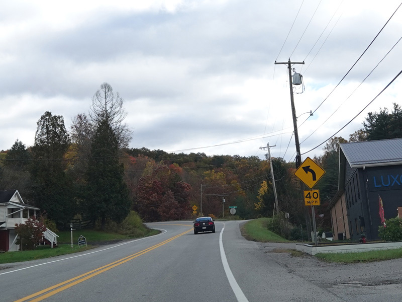
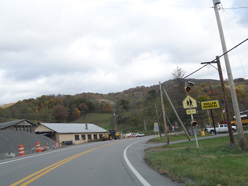
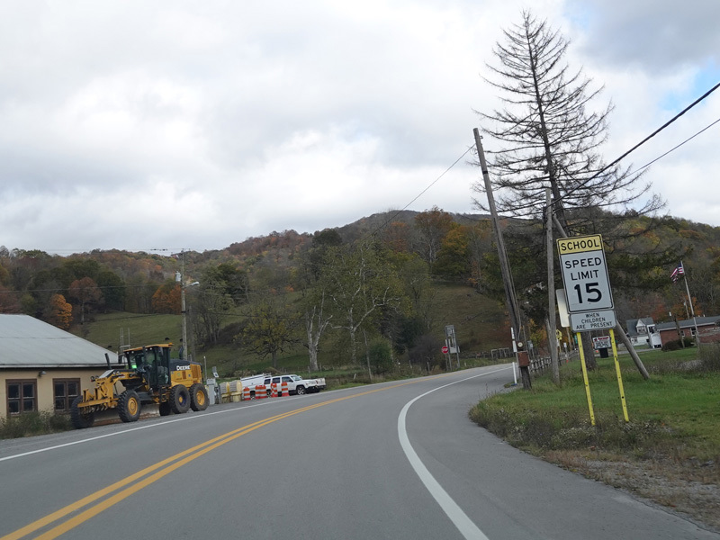
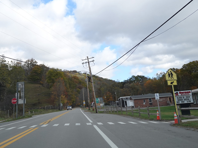
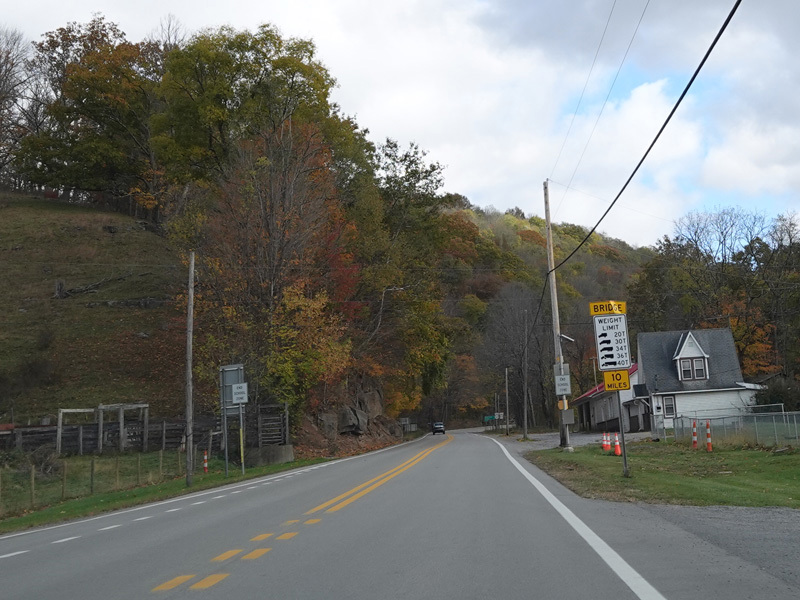
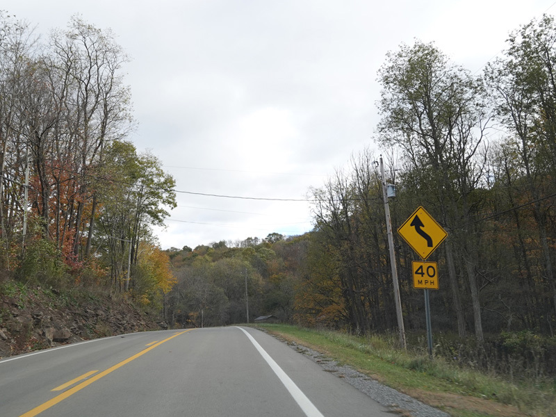
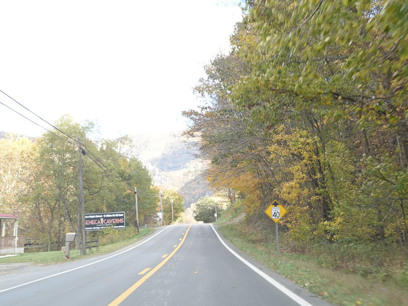
Welcome to Harman! The speed limit drops to 40 MPH.
Photos taken October 2023.
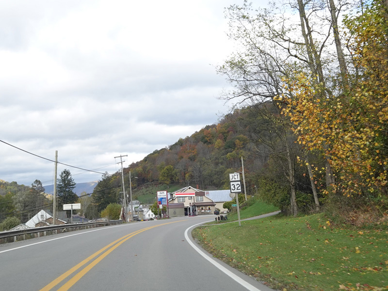
Turn left here for Appalachian Highway (WV 32).
Photos taken October 2023.
Appalachian Highway (WV 32) merges in from the left.
Photos taken October 2023.
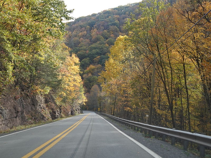
US 33/WV 55 continues east as a two-lane undivided road.
Photos taken October 2023.
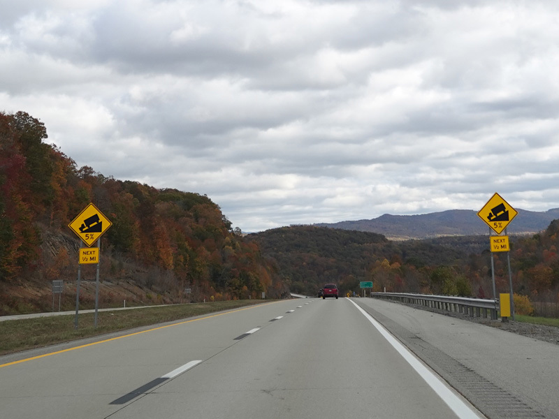
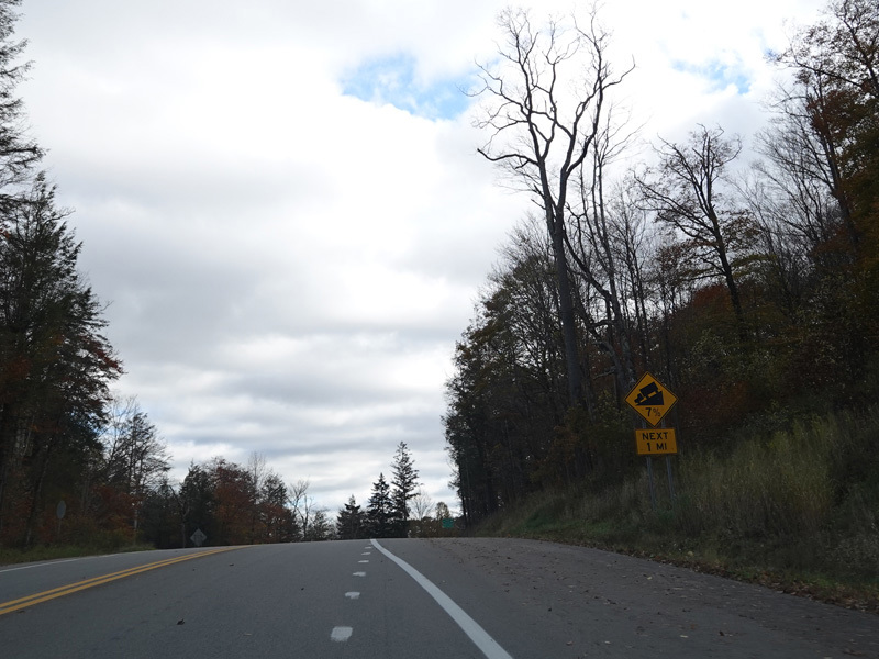
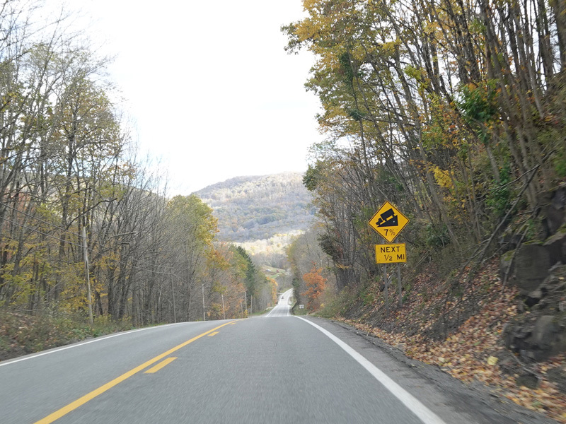
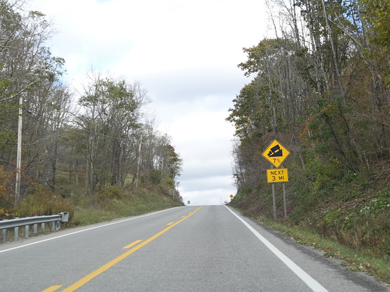
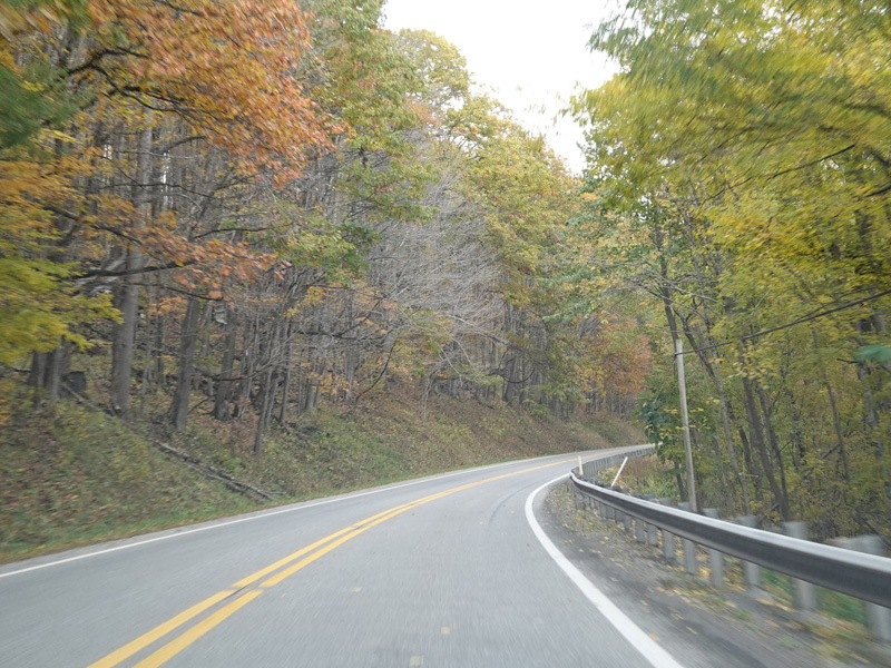
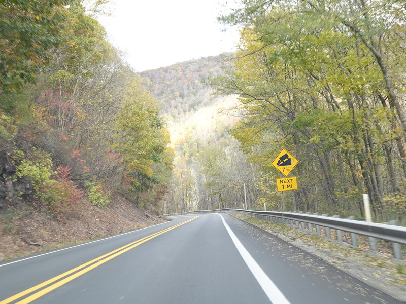
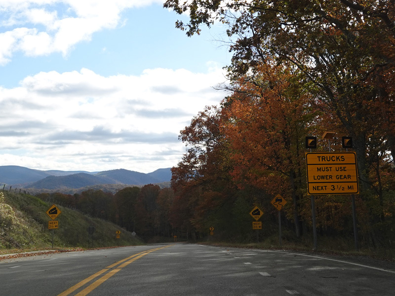
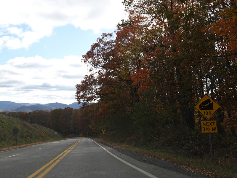
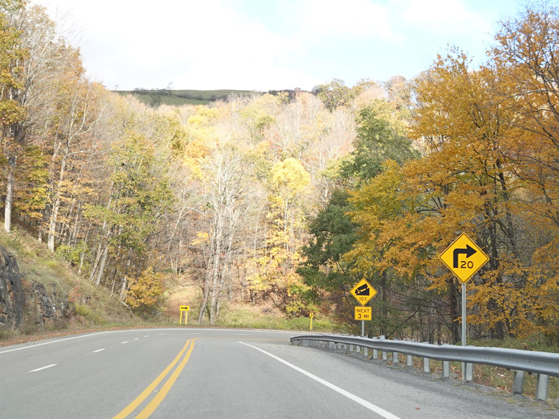
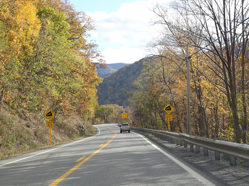
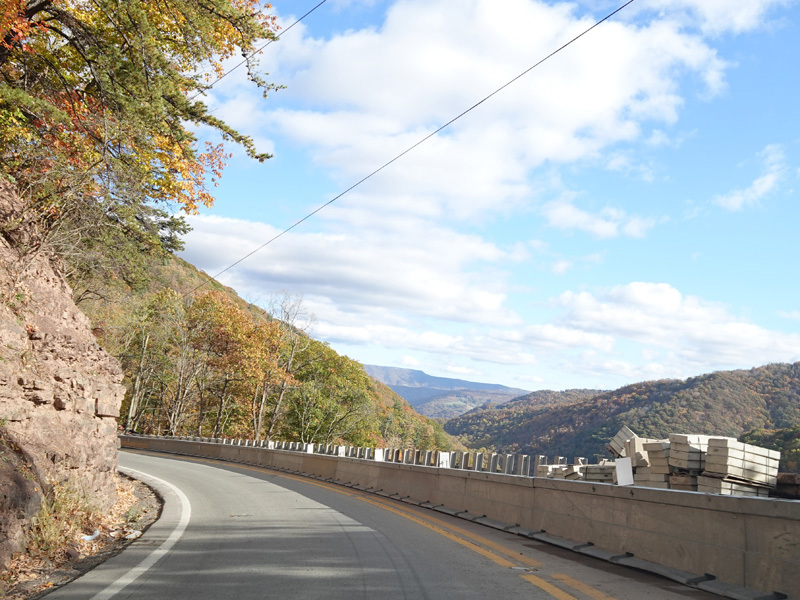
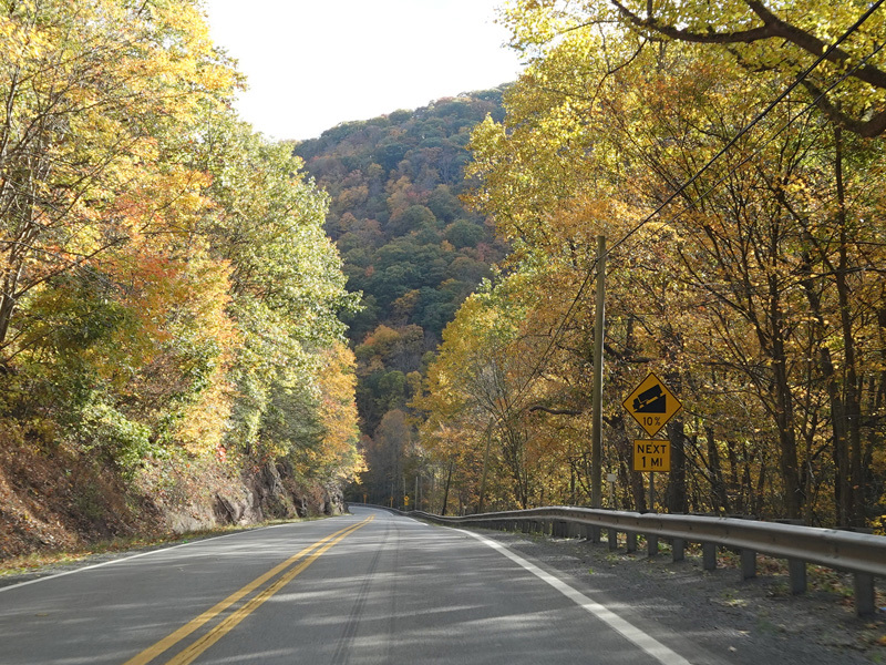
US 33/WV 55 ascends toward the summit of Allegheny Mountain.
Photos taken October 2023.
There is a second eastbound lane for slow vehicles for a short distance here.
Photos taken October 2023.
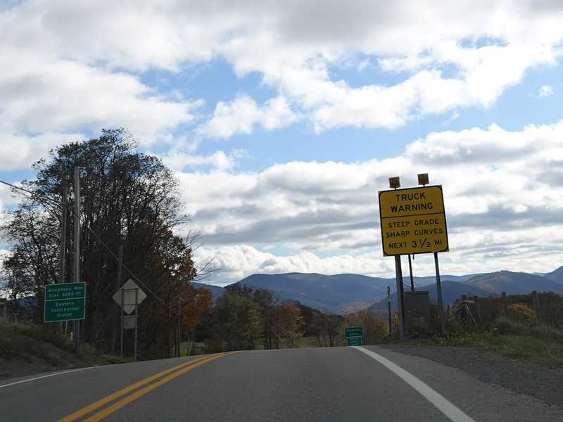
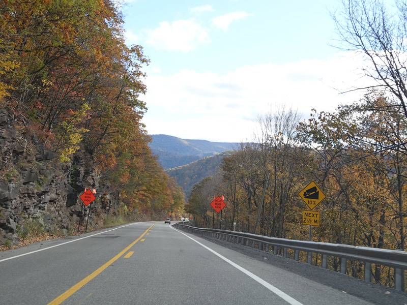
US 33/WV 55 reaches the summit of Allegheny Mountain.
Photos taken October 2023.
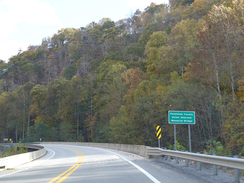
Welcome to Pendleton County!
Photos taken October 2023.
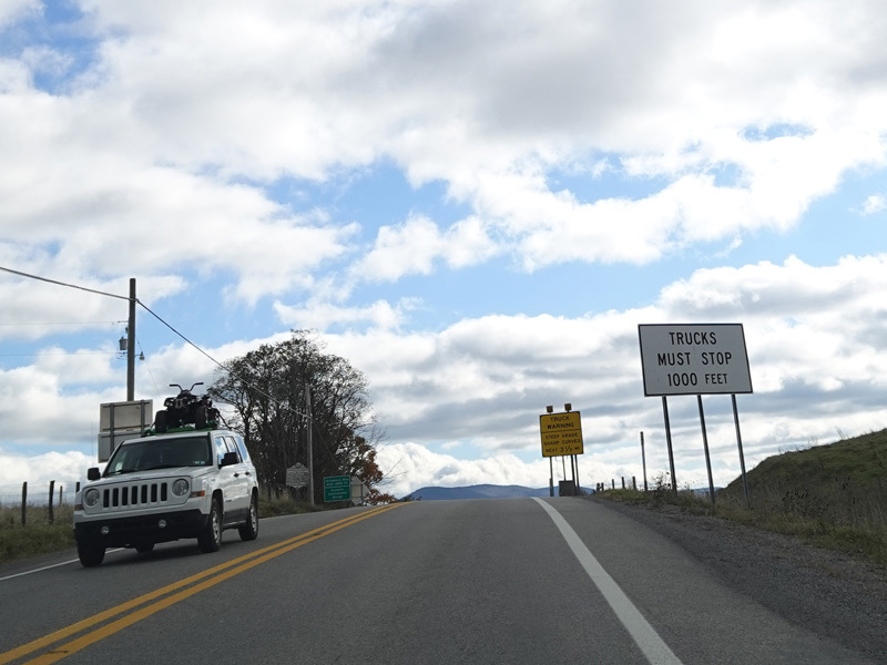
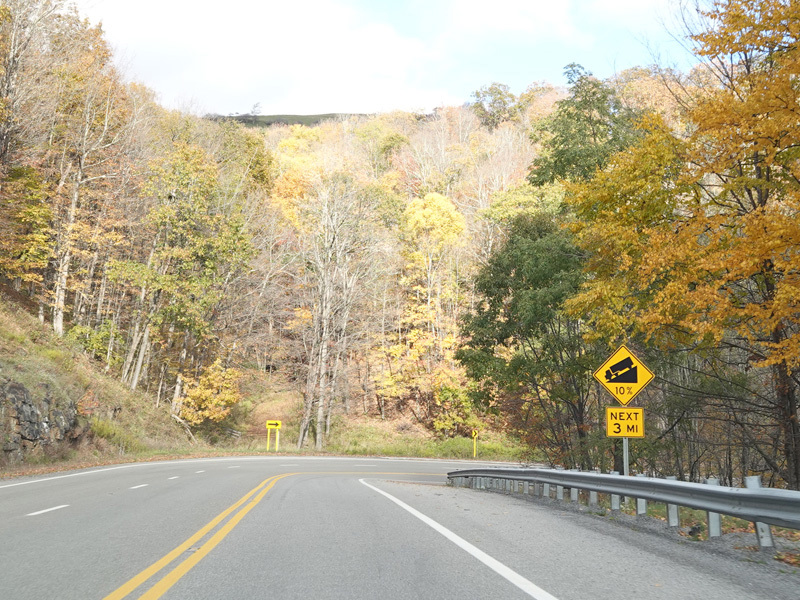
There is a brake check area for trucks before heading down the mountain.
Photo taken October 2023.
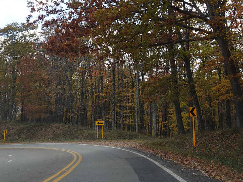
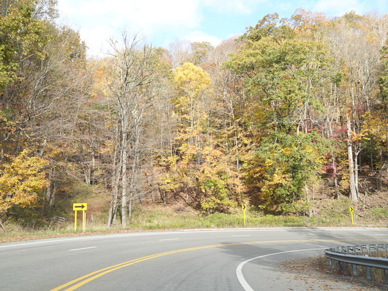
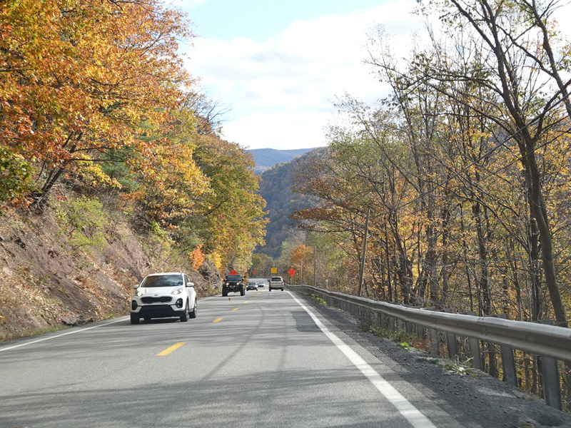
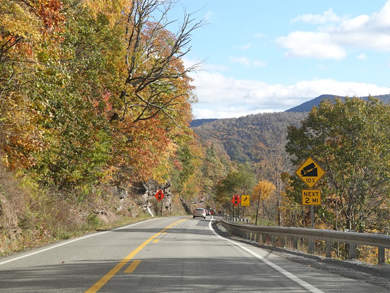
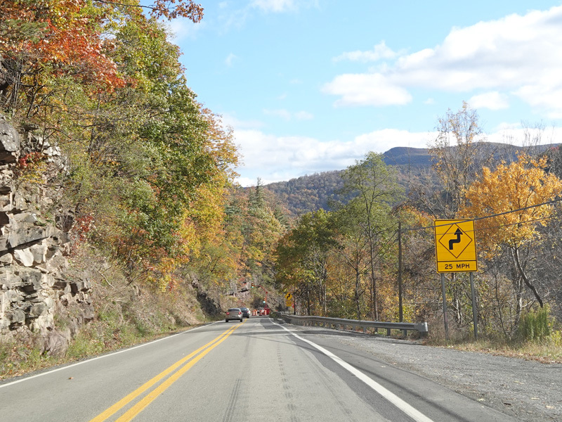
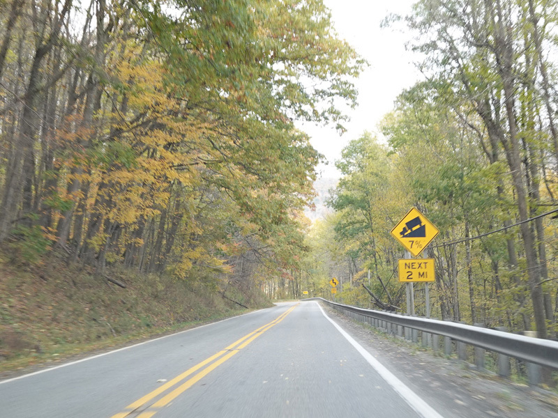
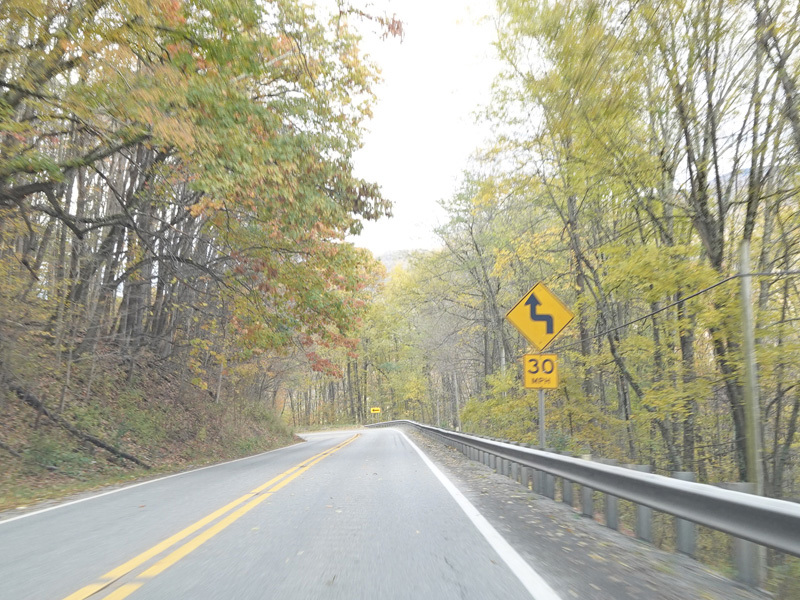
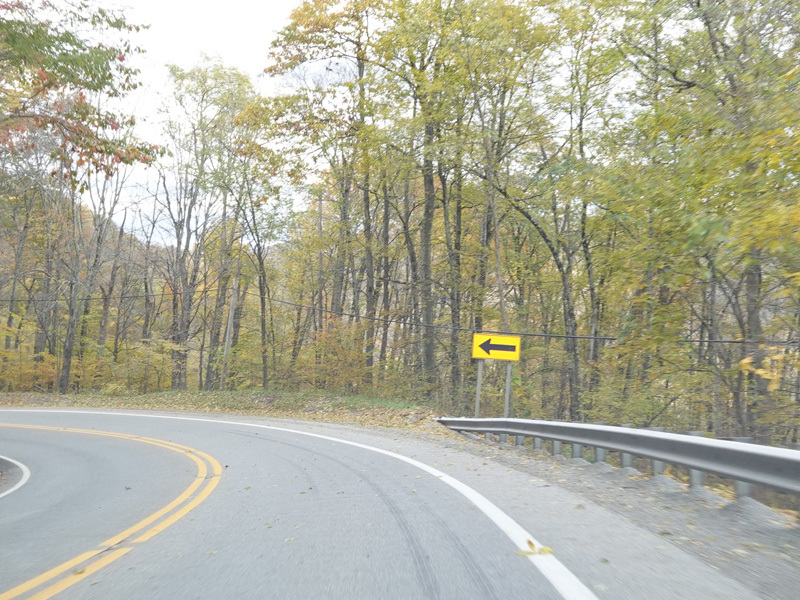
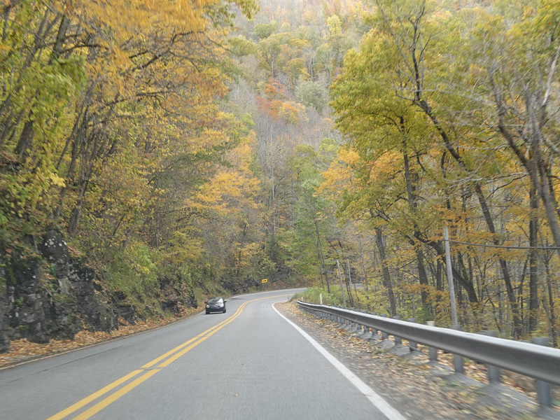
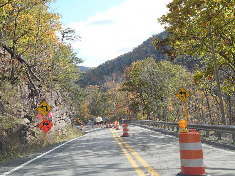
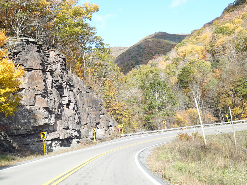
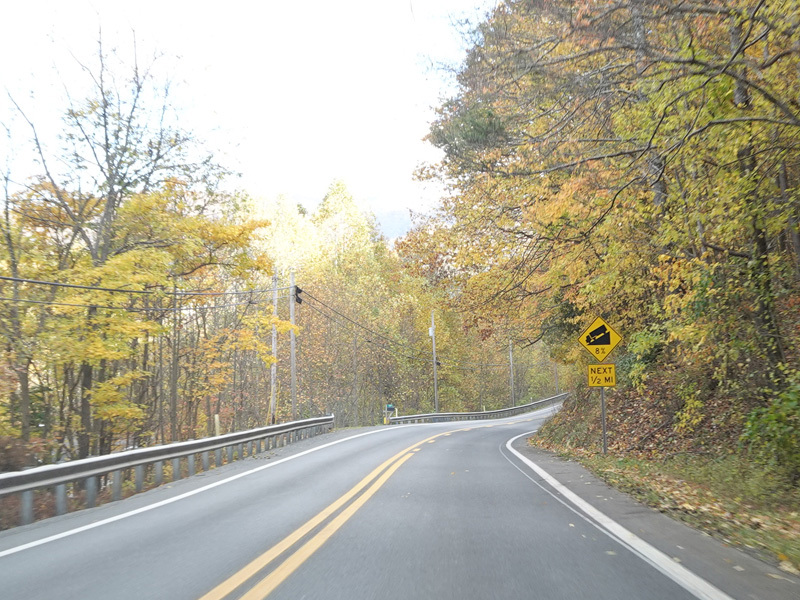
There are switchbacks as US 33/WV 55 comes down the other side of Allegheny Mountain.
Photos taken October 2023.
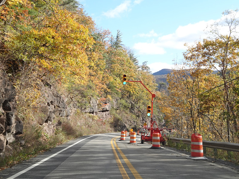
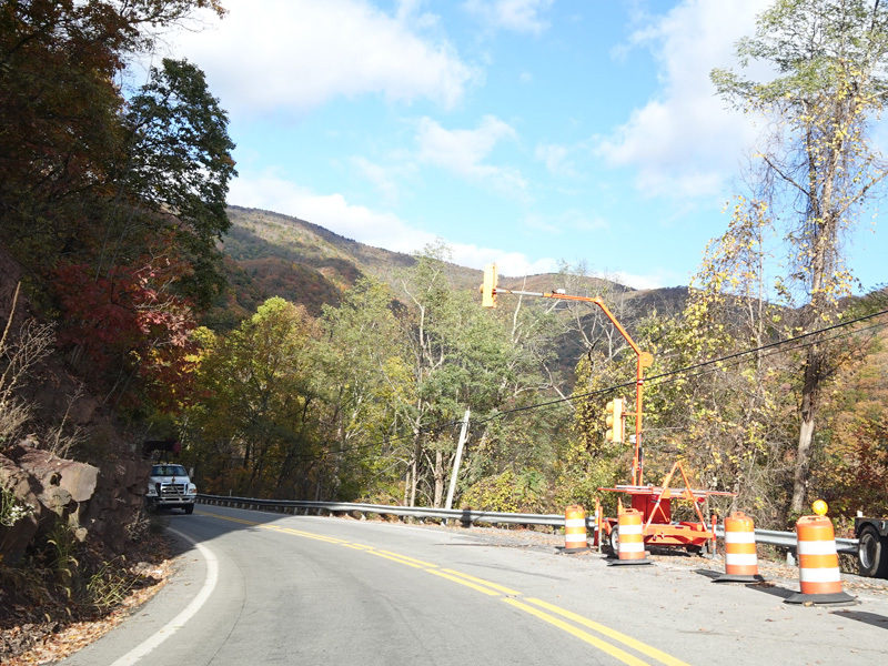
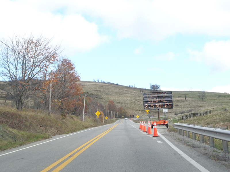
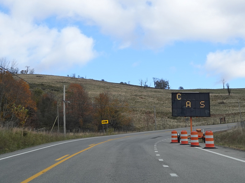
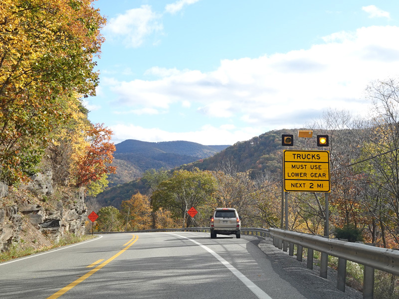
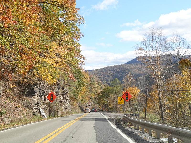
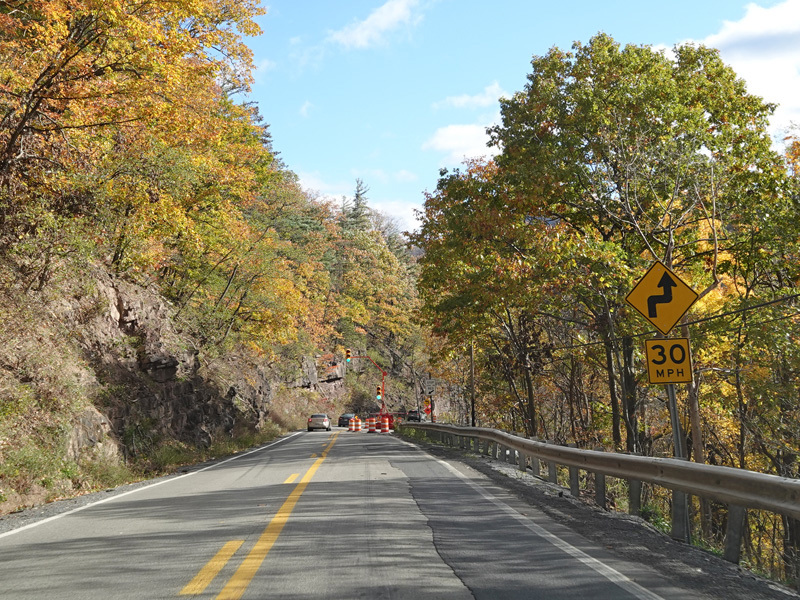
The roadway is narrowed down to one lane due to construction. A temporary traffic lights control whether eastbound or westbound traffic can go at any point in time.
Photos taken October 2023.
There is a truck turnout on the right.
Photos taken October 2023.
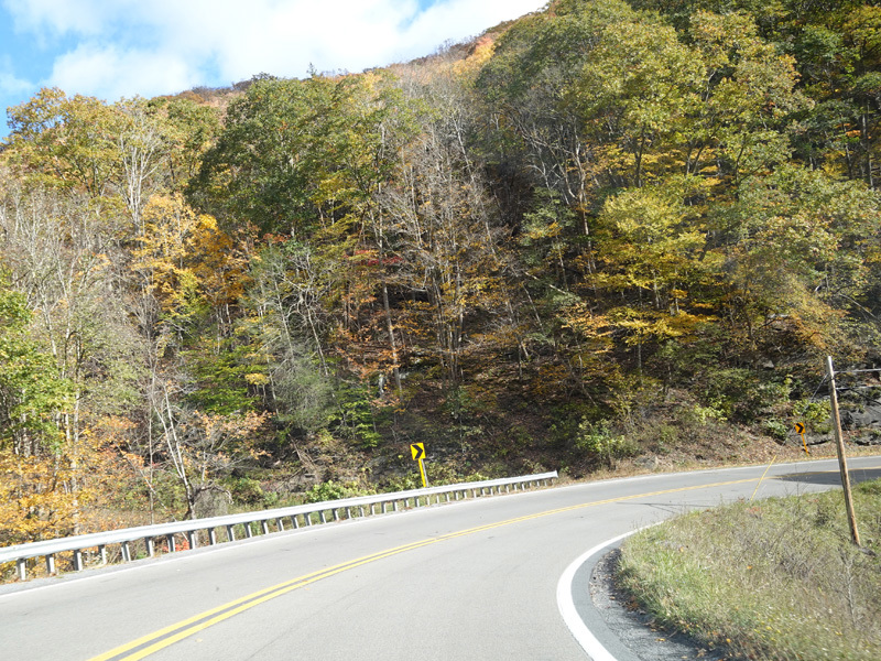
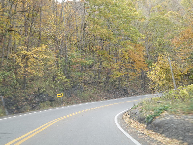
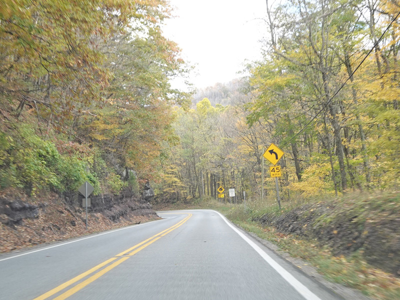
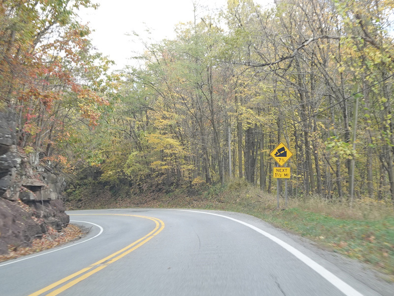
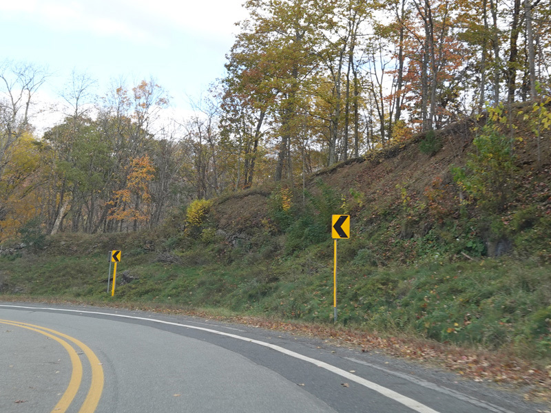
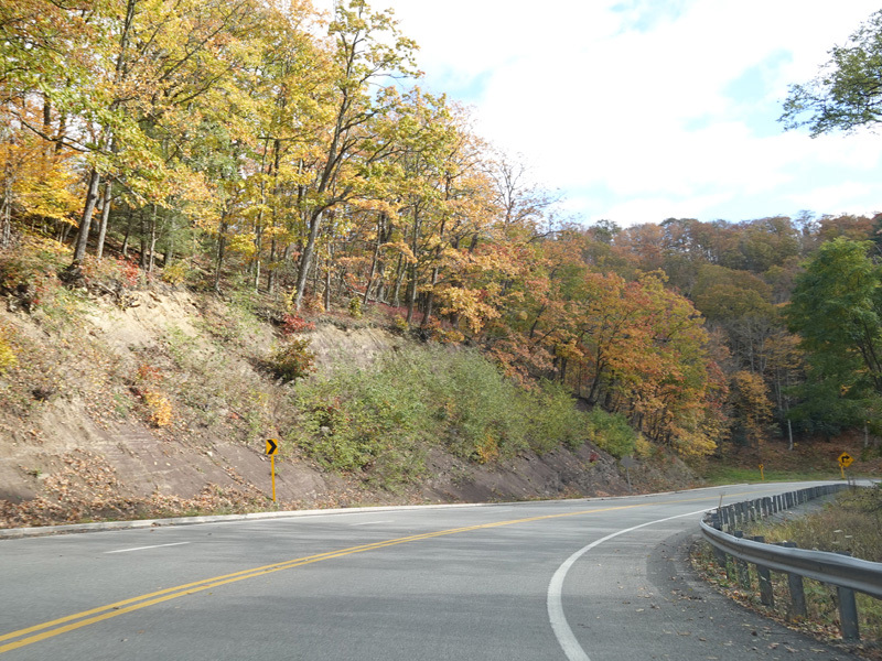
There are more switchbacks as US 33/WV 55 continues down the mountain.
Photos taken October 2023.

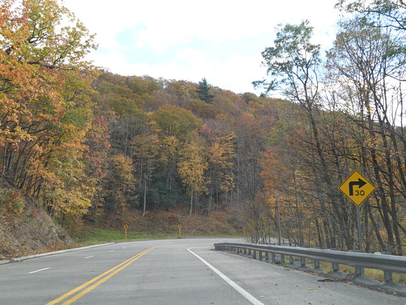
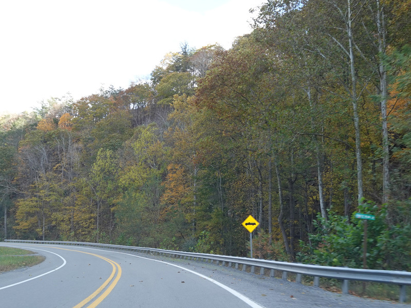
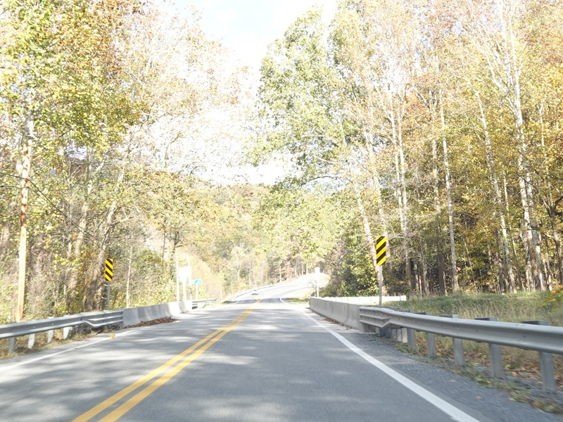
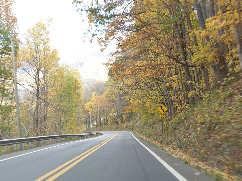
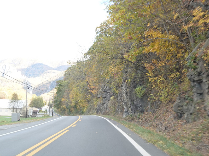
US 33/WV 55 continues east as a two-lane undivided road.
Photos taken October 2023.
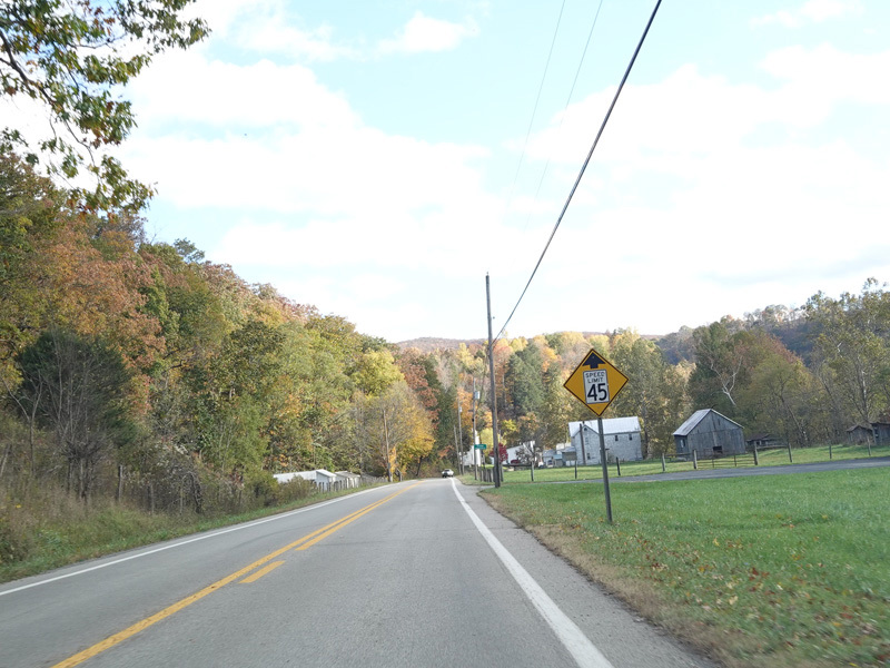
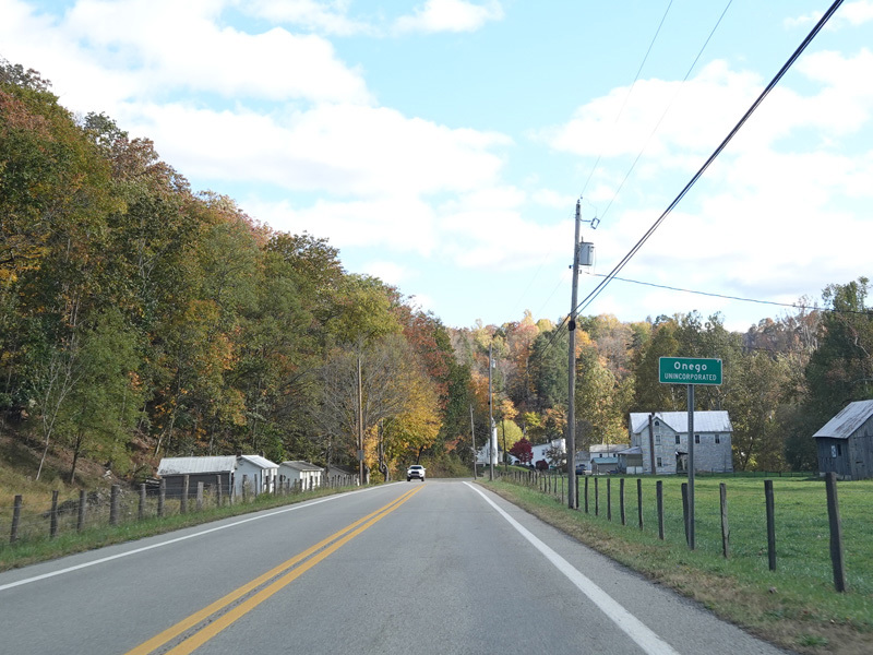
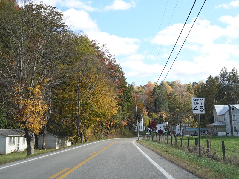
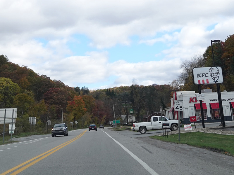
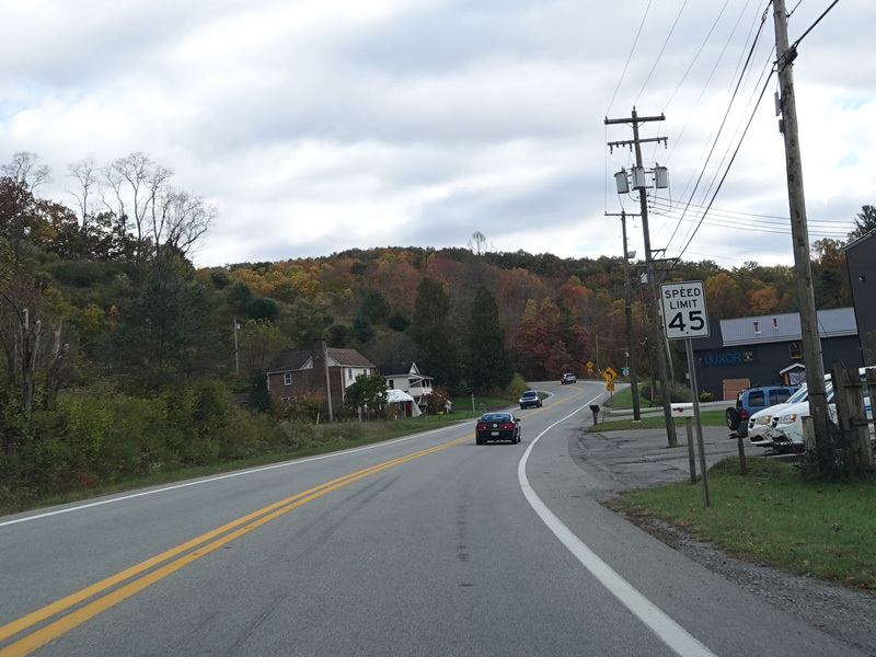
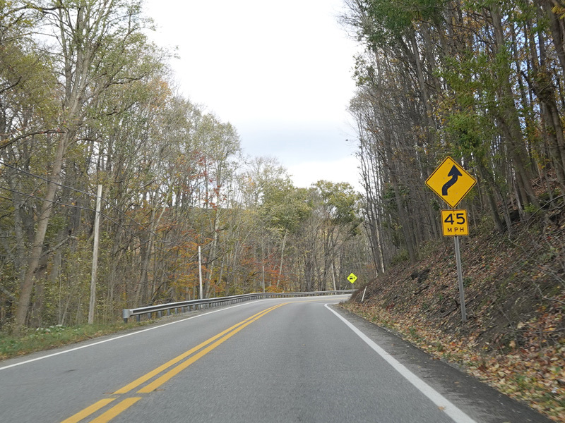
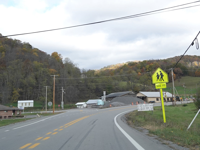
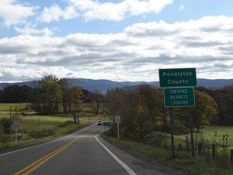
Welcome to Onego! The speed limit drops to 45 MPH while passing through the town.
Photos taken October 2023.
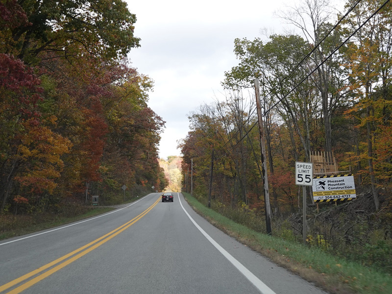
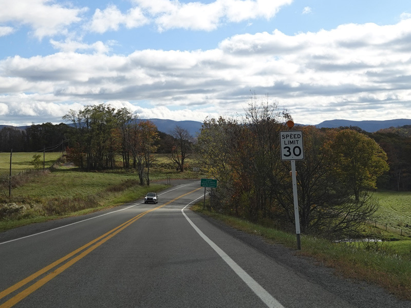
Heading out of town, the speed limit goes back to 55 MPH.
Photos taken October 2023.
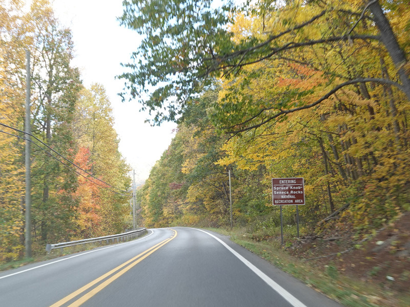
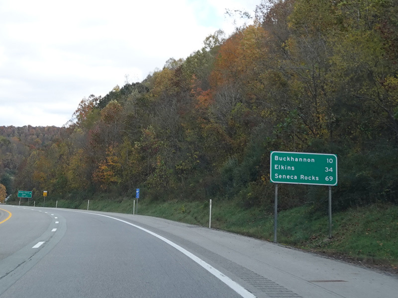
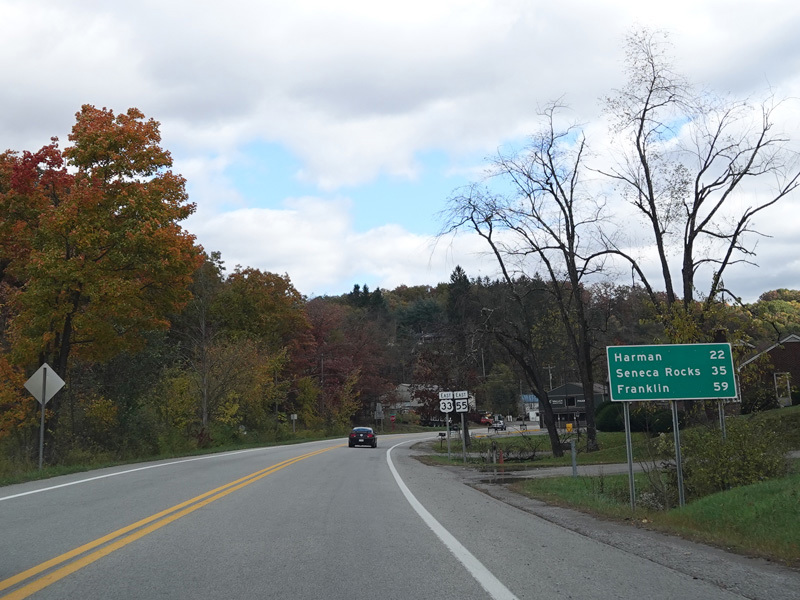
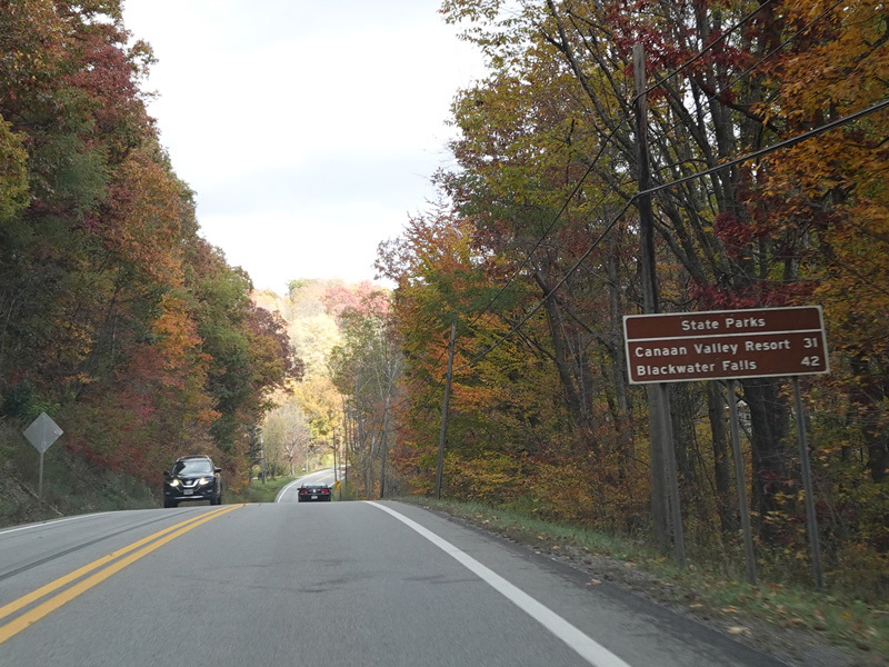
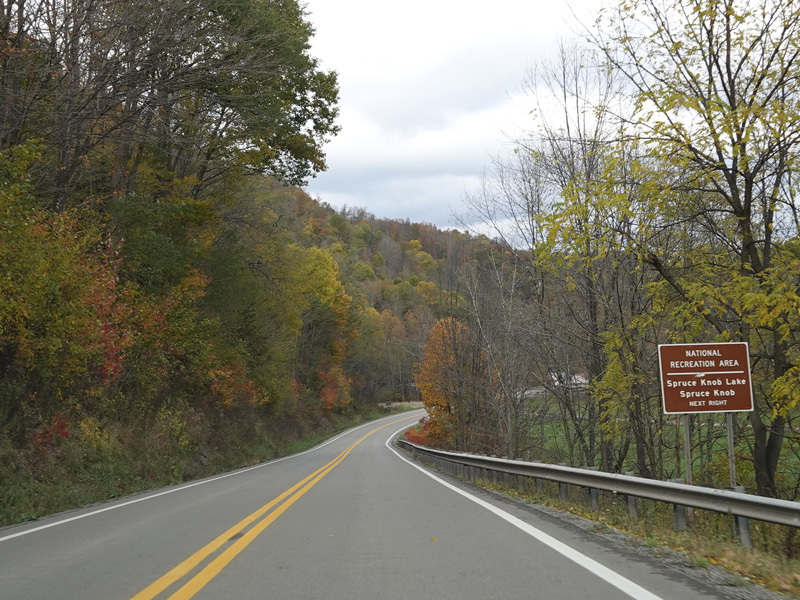
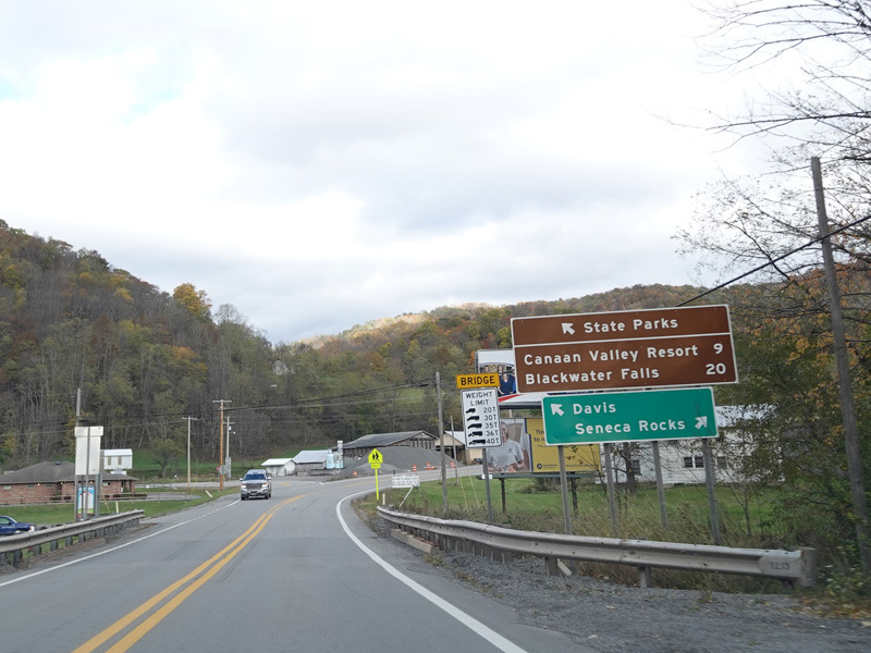
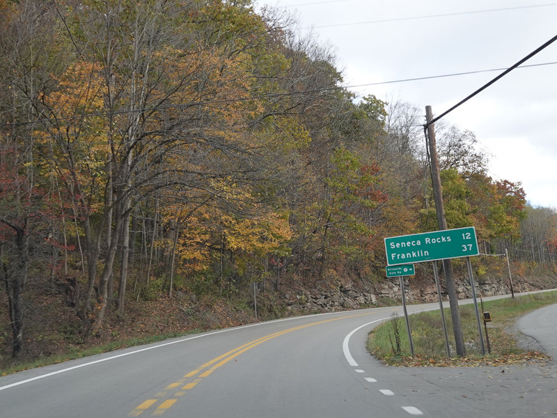
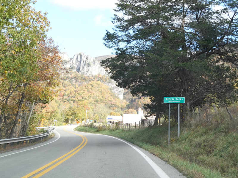
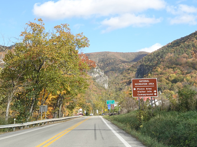
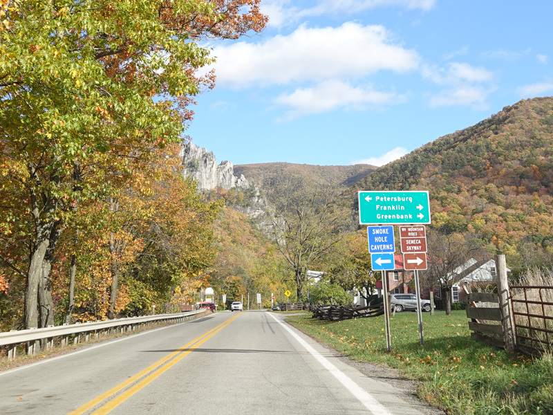
Welcome to the Spruce Knob-Seneca Rocks National Recreation Area! US 33/WV 55 goes downhill again toward to Seneca Rocks.
Photos taken October 2023.
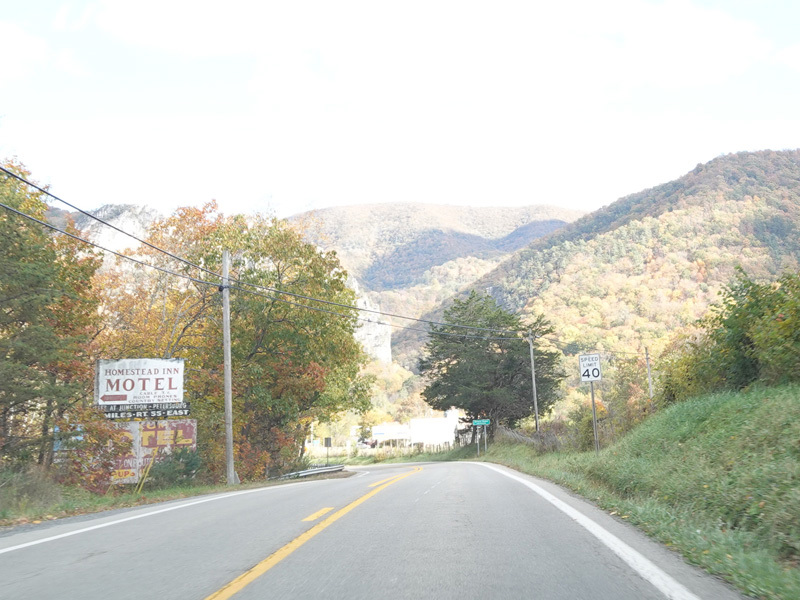
Coming into Seneca Rocks, the speed limit drops to 40 MPH.
Photos taken October 2023.
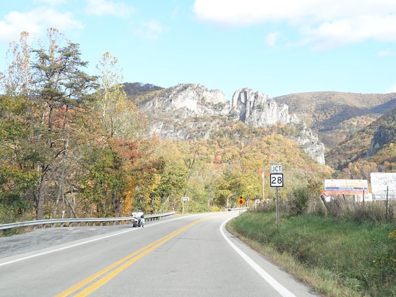
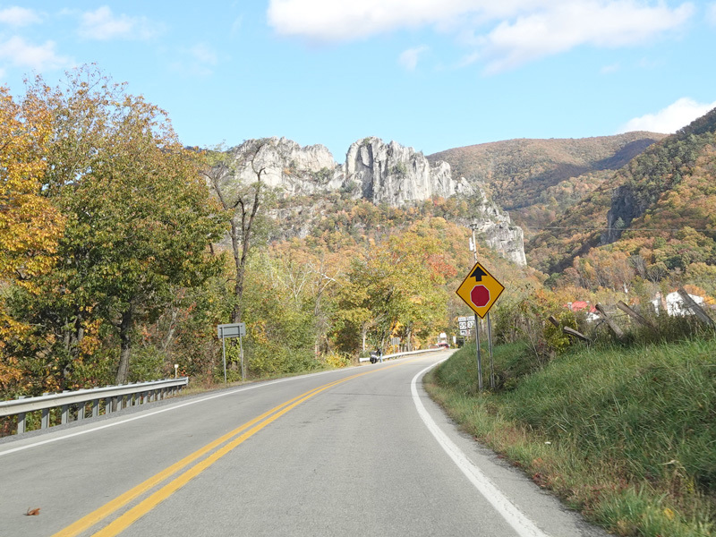
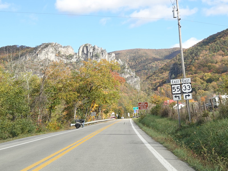
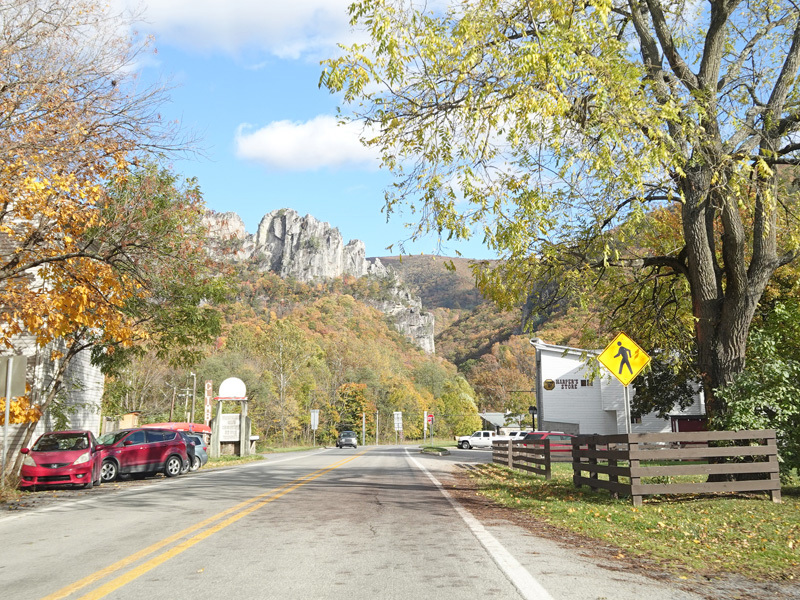
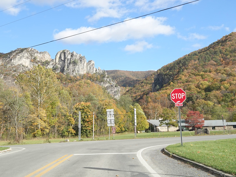
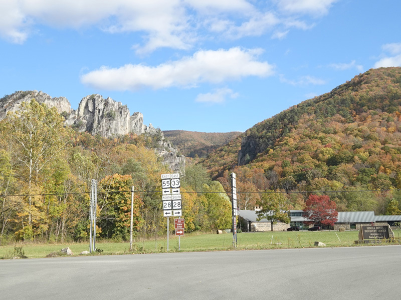
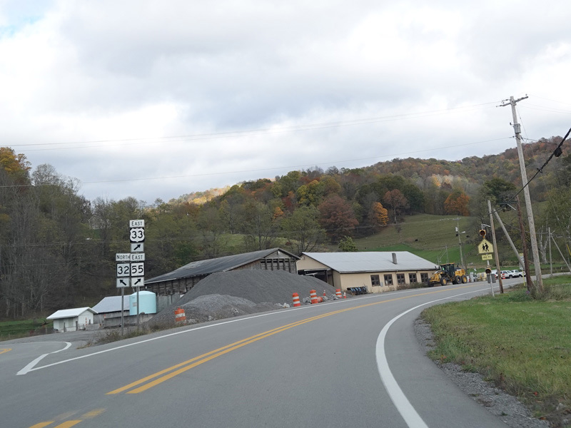
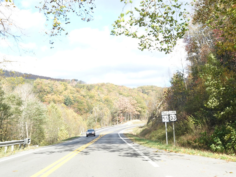
Welcome to Seneca Rocks! The rock formation from which the town takes its name is visible straight ahead. The roadway ends at a stop sign at WV 28 as US 33 and WV 55 split. Turn left to go north on WV 28 and to continue east on WV 55. Turn right to go south on WV 28 and to continue east on US 33.
Photos taken October 2023.