Market Street, Seneca Trail South, South Main Street, Main Street, Seneca Trail North, Walnut Street, West Main Street, Frankford Road, Seneca Trail, North Randolph Avenue, Corridor H, First Street, Pennsylvania Avenue
Miscellaneous Views
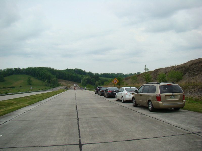
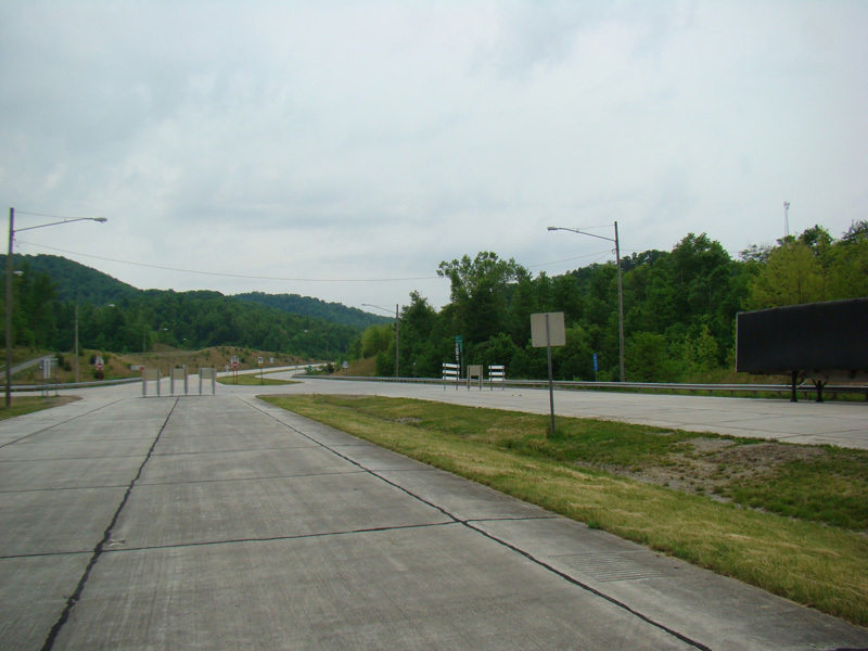
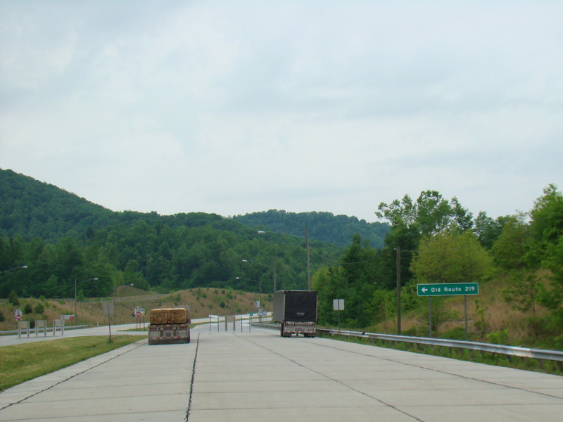
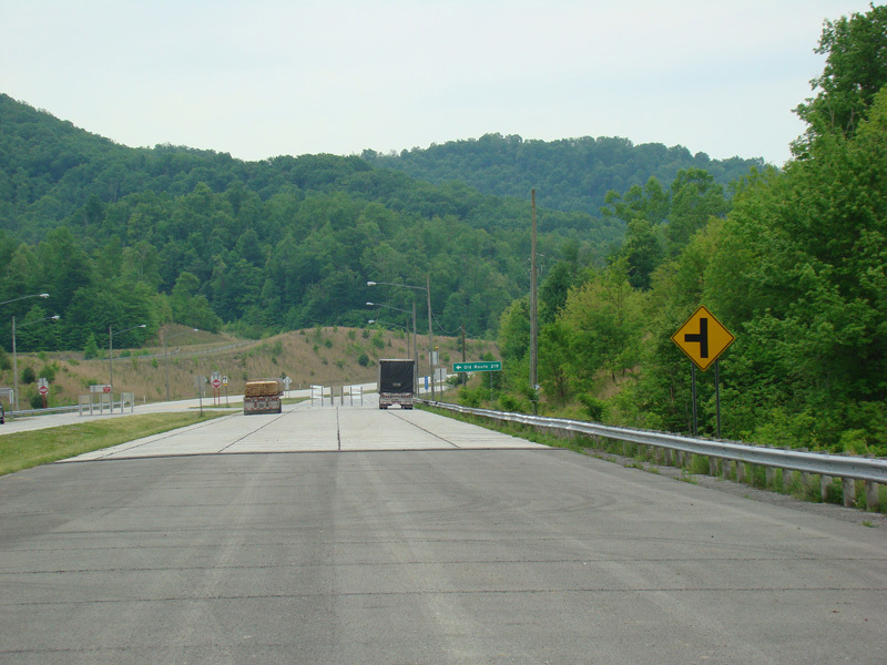
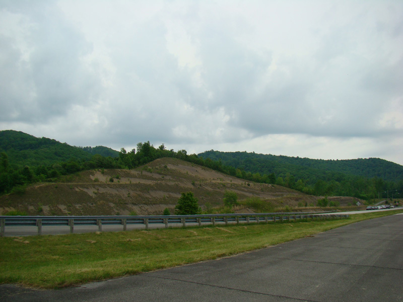
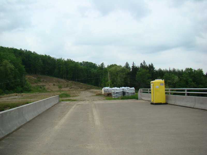
Continuing past the "Road Closed" signs at the end of Corridor H leads to this bridge, which is not yet open to traffic. The road dead ends on the other side for now. Facing in the other direction, there is signage for Old Route 219, which is what the currently US 219 will become once Corridor H is completed. There are also some pictures of the surrounding countryside.
Photos taken May 2016.
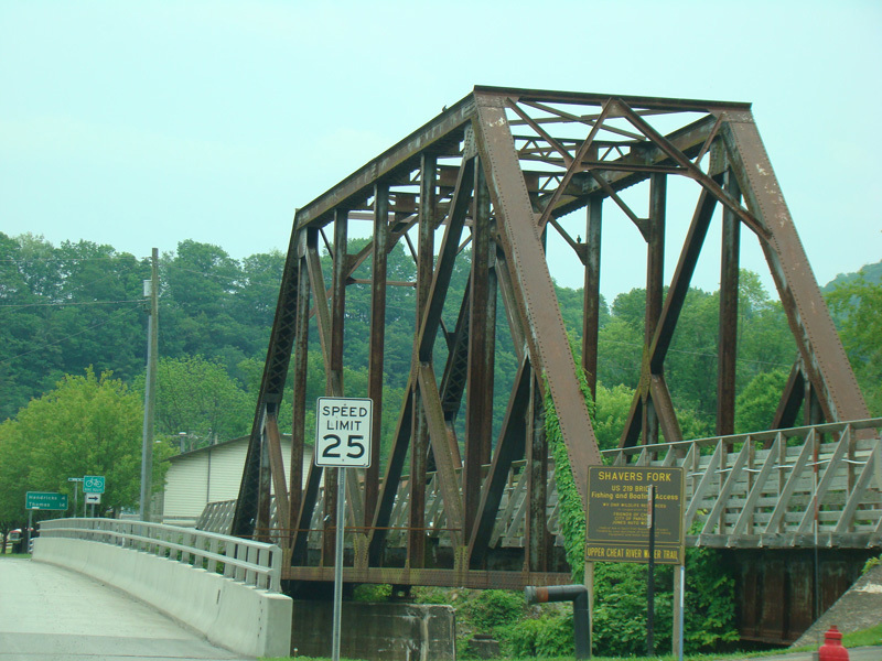
This pedestrian bridge over the Cheat River is right next to the bridge carrying US 219 over the river.
Photo taken May 2016.
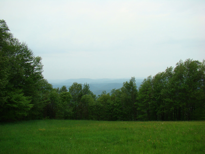
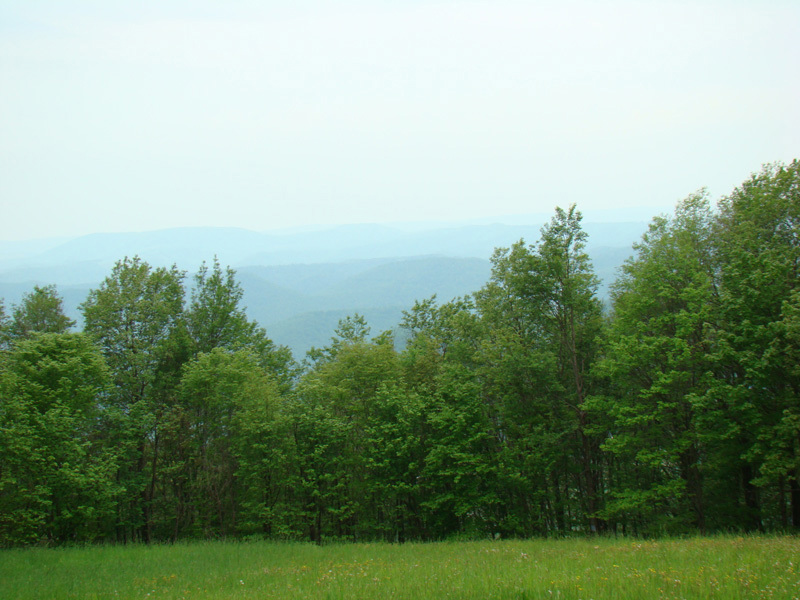
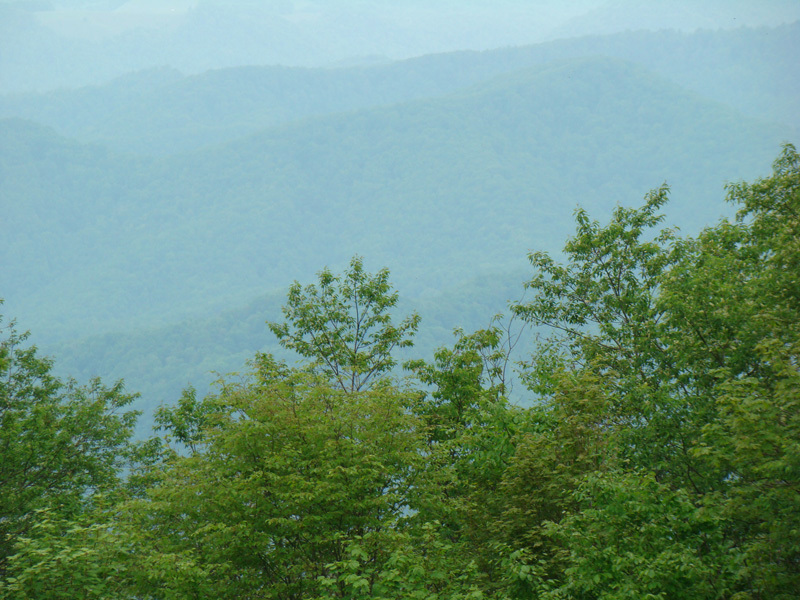
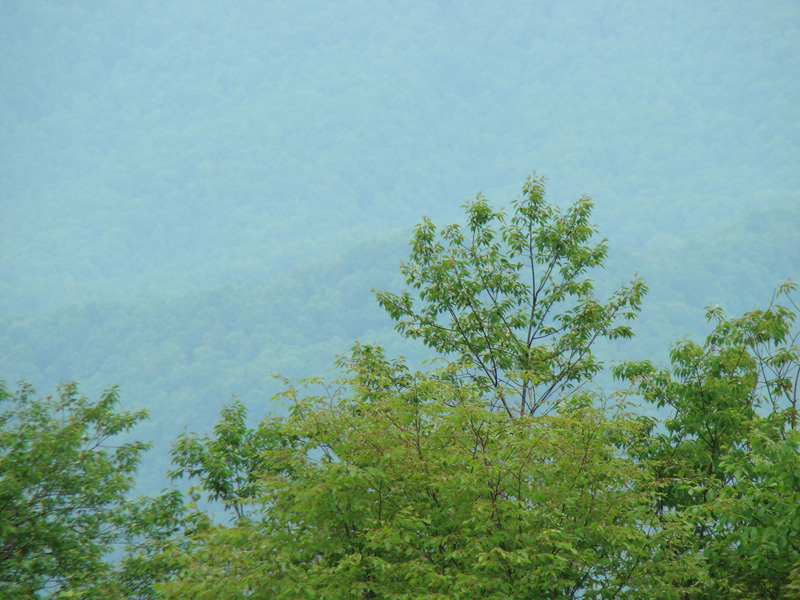
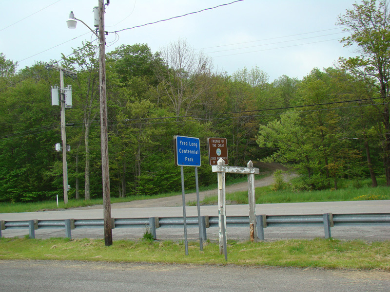
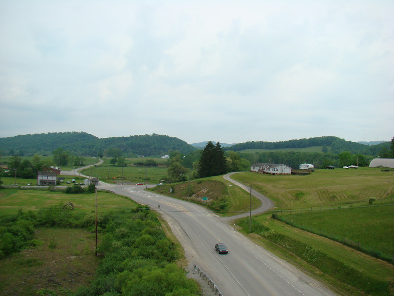
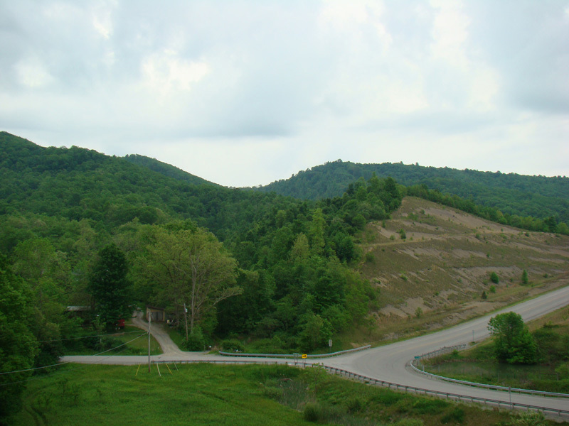
These pictures were taken at Fred Long Centennial Park and show the views looking down into the valley below from the top of the mountain.
Photos taken May 2016.
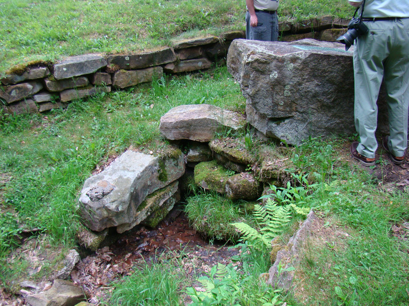
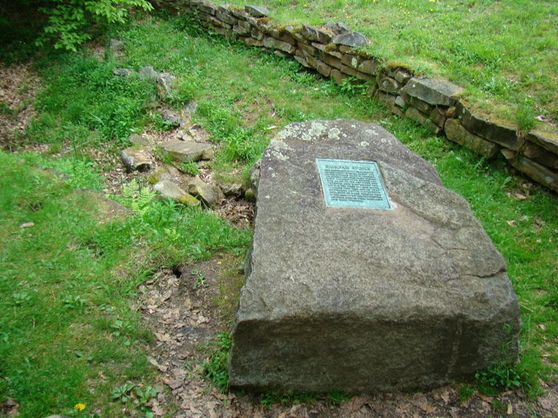
These pictures show the Fairfax Stone, which marks the source of the Potomac River.
Photos taken May 2016.