Tokeneke Road, Cudlipp Street, Rowayton Avenue, McKinley Street, Highland Avenue, Wilson Avenue, Meadow Street, Woodward Avenue, Burritt Avenue, Water Street, Washington Street, Fort Point Street, Van Zant Street, Cemetery Street, Gregory Boulevard, East Avenue, Winfield Street, Saugatuck Avenue, Park Street, Charles Street, Riverside Avenue, Bridge Street, Compo Road South, Compo Road North, Main Street, Easton Road, Westport Turnpike, Westport Road
Northbound Views
A drawbridge carries Washington Street over the Norwalk River.
Photos taken August 2014.
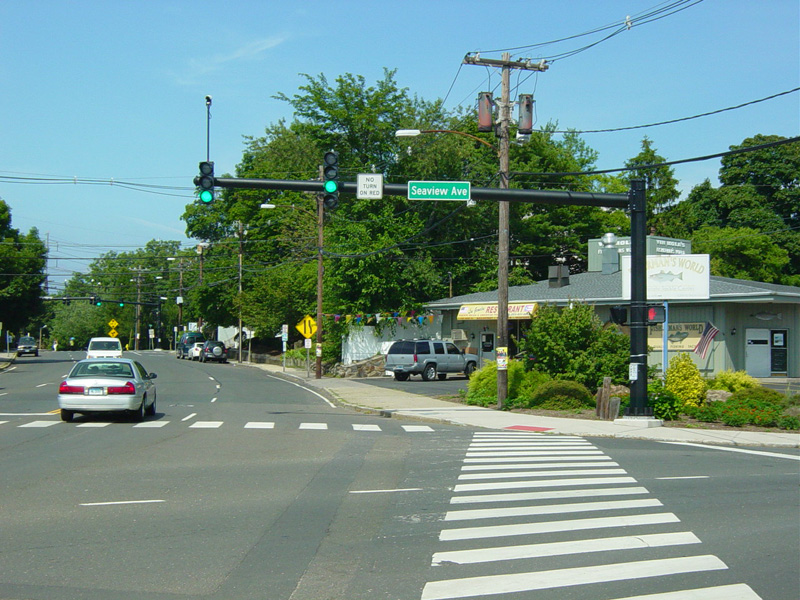
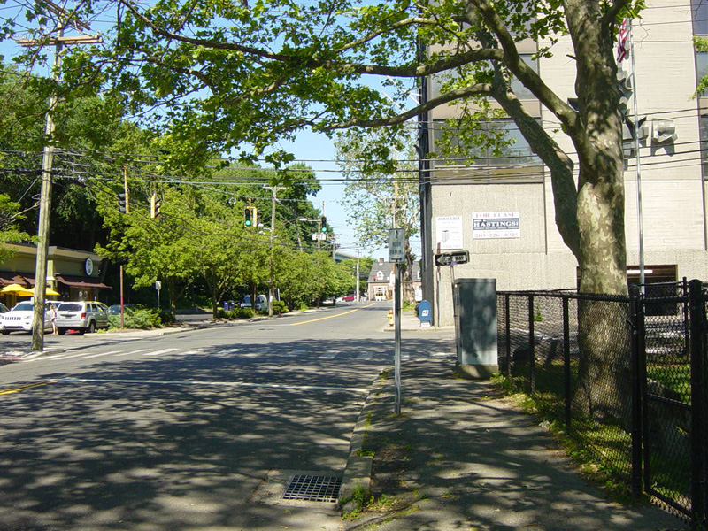
There is a traffic light at Seaview Avenue. Washington Street changes names here to become Fort Point Street.
Photos taken August 2014.
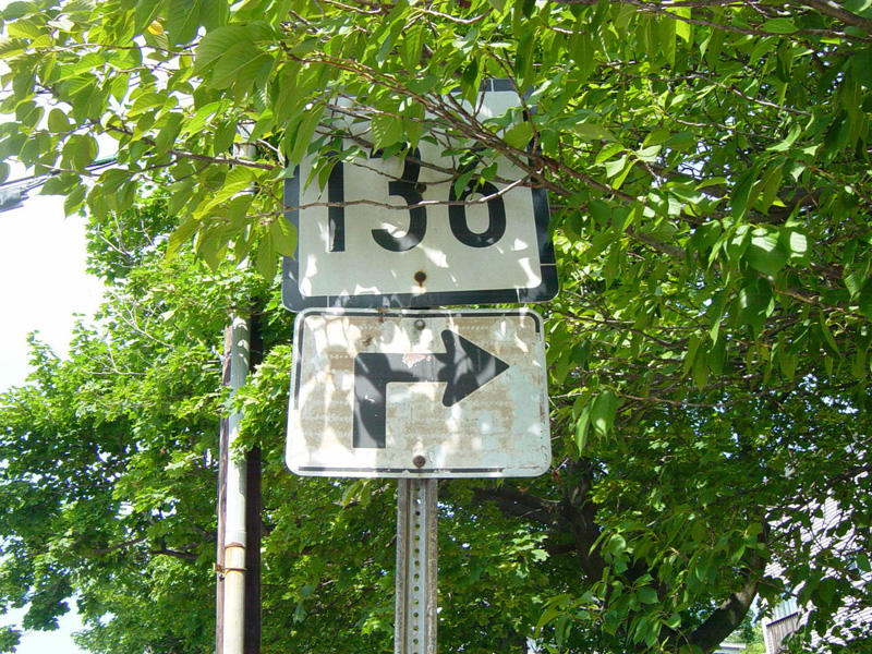
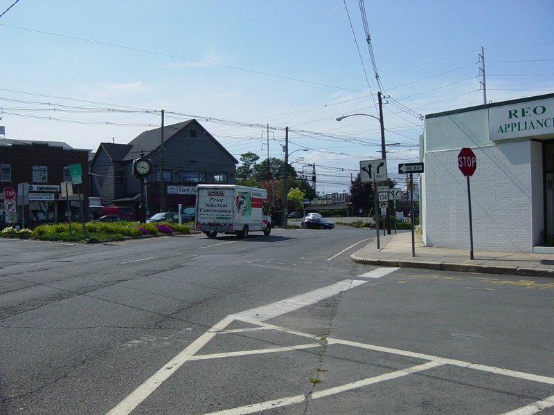
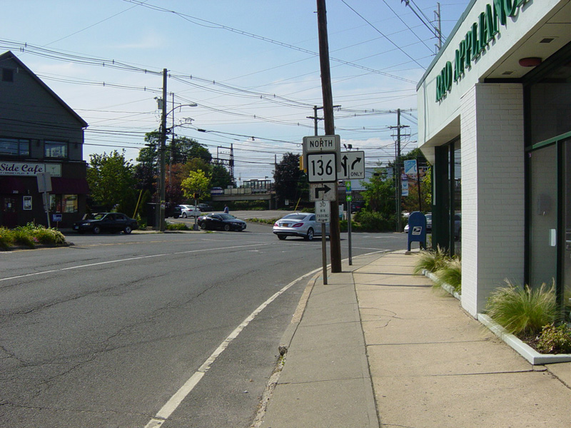
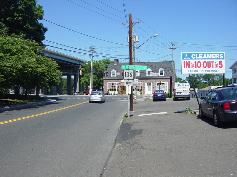
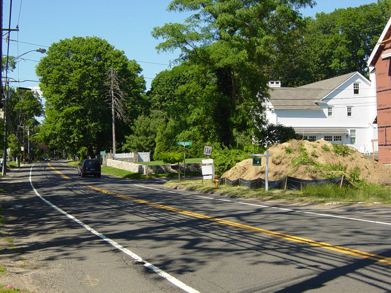
And what is hidden behind the foliage? It couldn't possibly be a CT 136 shield.
Photo taken August 2014.
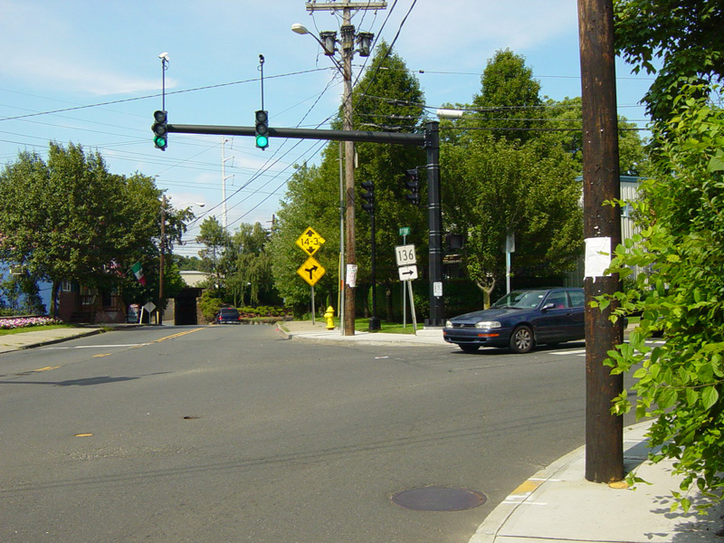
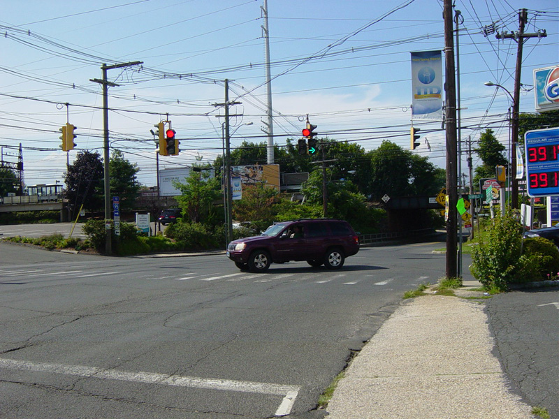
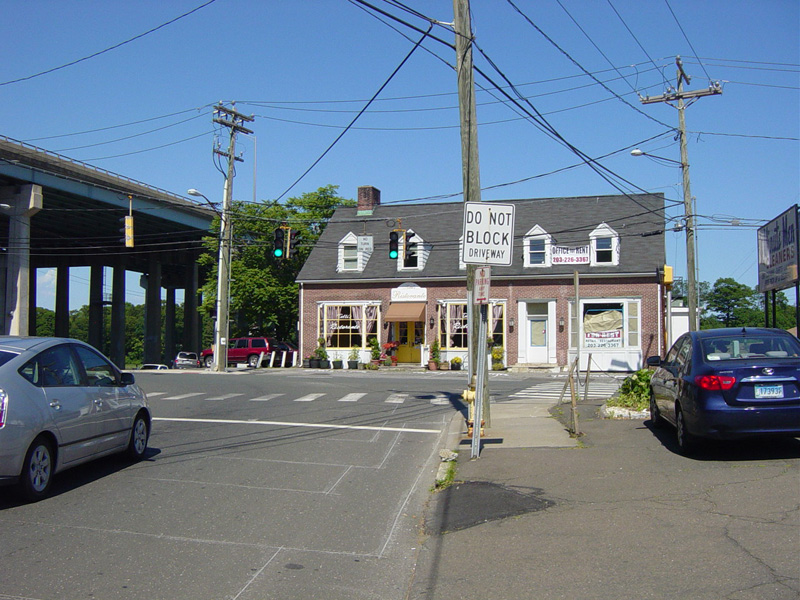
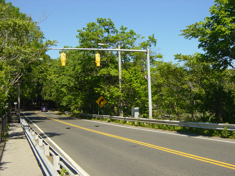
There is a traffic light at Van Zant Street. Turn right here to stay on CT 136.
Photo taken August 2014.
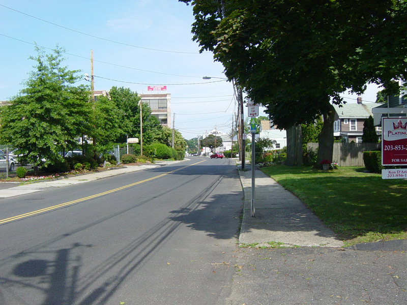
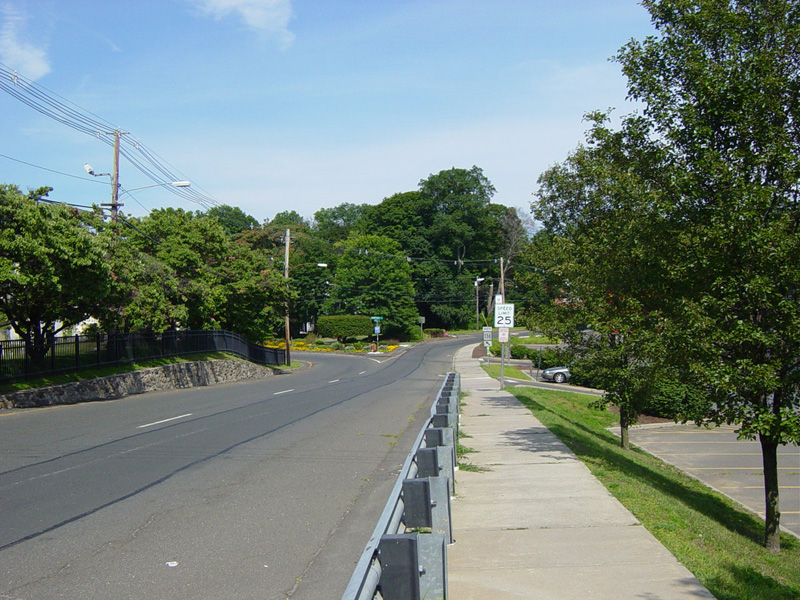
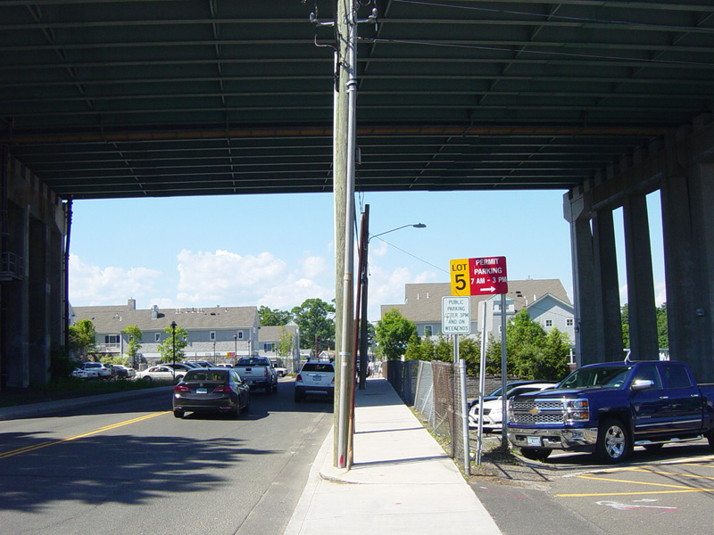
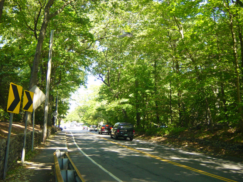
Van Zant Street runs east as a two-lane undivided road.
Photos taken August 2014.
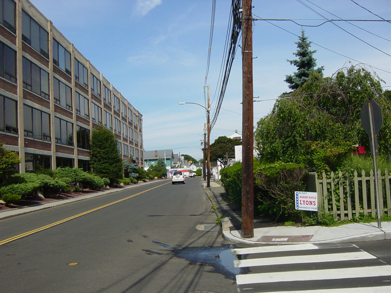
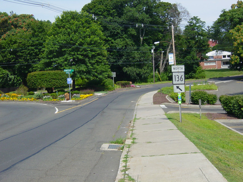
Van Zant Street ends here at East Avenue. All motorists must turn right here. After the right turn, immediately bear left onto Cemetery Street to stay on CT 136.
Photo taken August 2014.
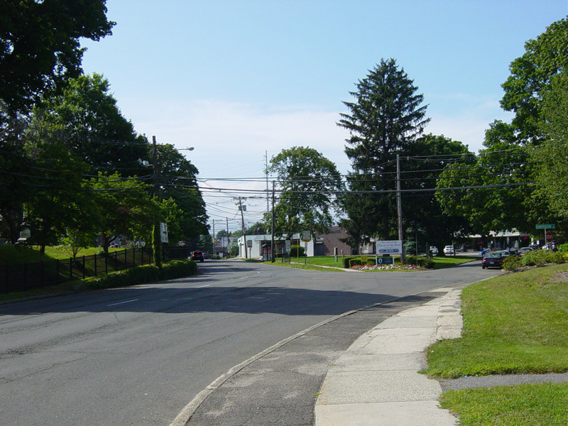
After one block, the road splits. Bear left onto Gregory Boulevard to stay on CT 136.
Photos taken August 2014.
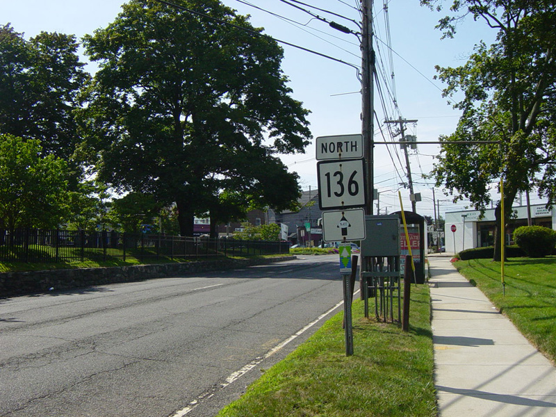
Gregory Boulevard runs northwest as a two-lane one-way street for a couple of blocks.
Photos taken August 2014.
Gregory Boulevard merges with East Avenue to form a four-lane two-way street.
Photo taken August 2014.
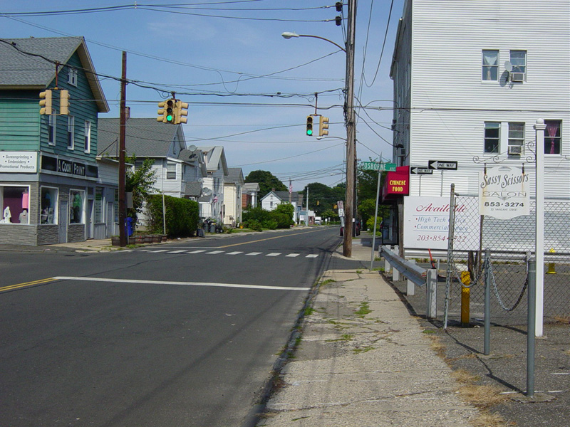
There is a traffic light at Winfield Street. Turn right to stay on CT 136.
Photos taken August 2014.

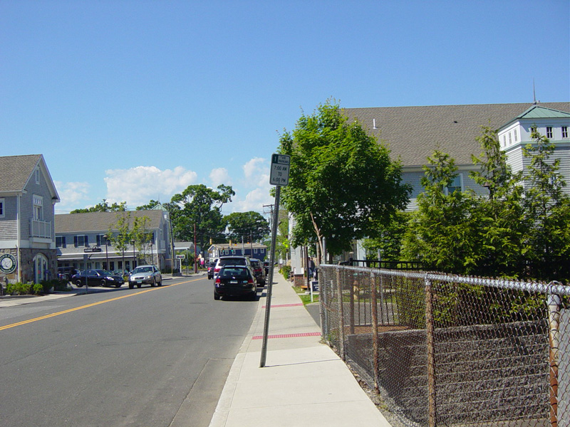
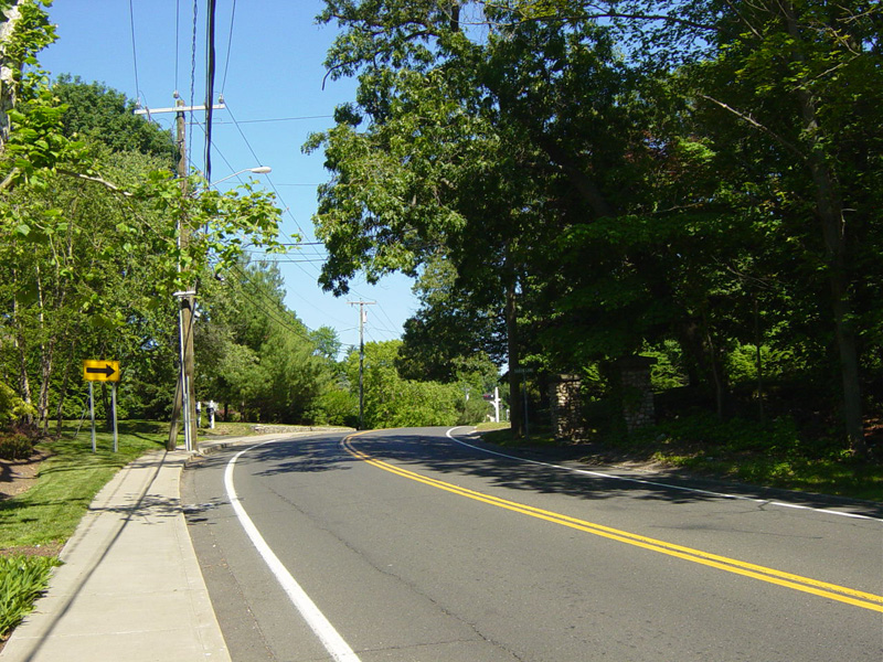
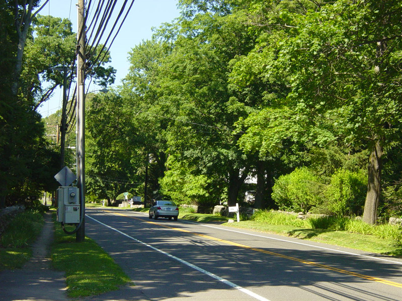
Winfield Street runs east as a two-lane undivided road.
Photo taken August 2014.
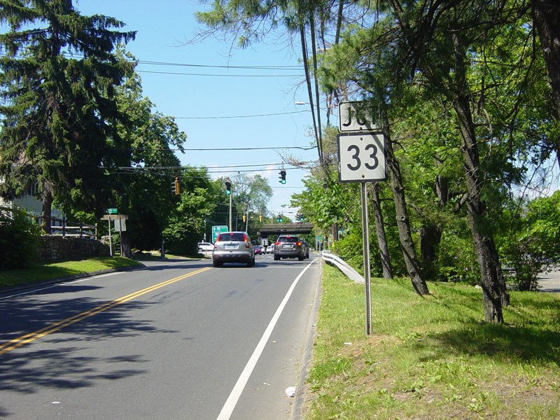
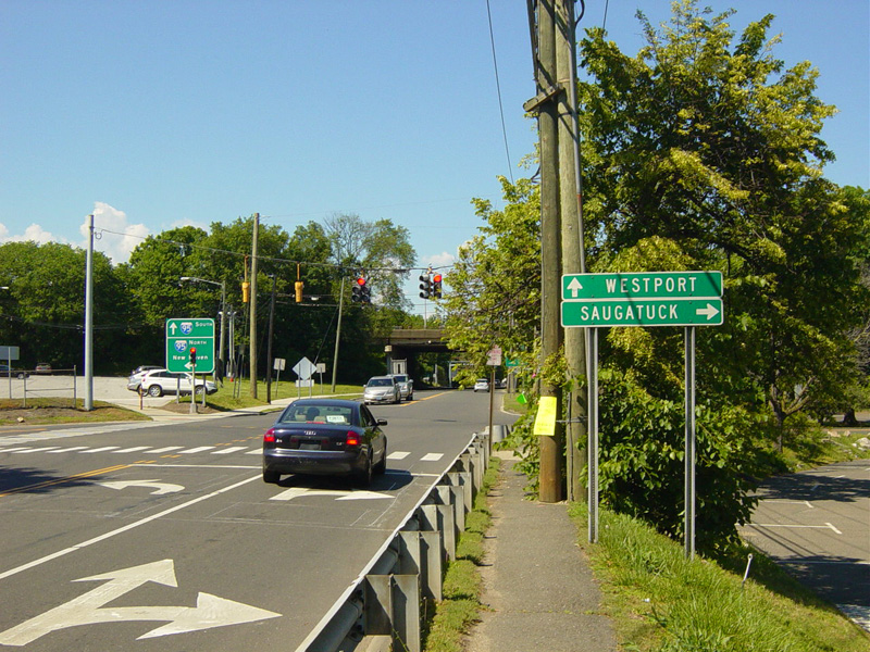
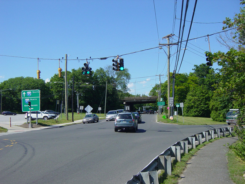
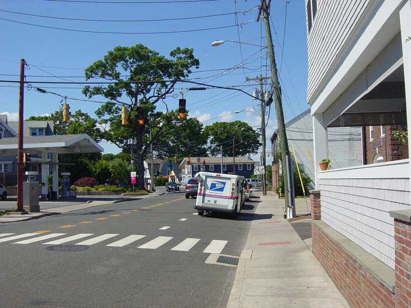
Skipping a couple of miles to Westport, there is a traffic light at Park Street. Turn right to stay on CT 136. Saugatuck Avenue continue straight ahead as CT 33. There is an entrance to the Connecticut Turnpike (I-95) north on the left. Continue straight ahead for a southbound entrance.
Photos taken June 2016.
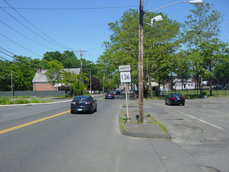
Park Street merges into Charles Street, which runs east for a couple of blocks.
Photos taken June 2016.
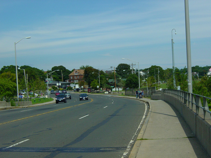
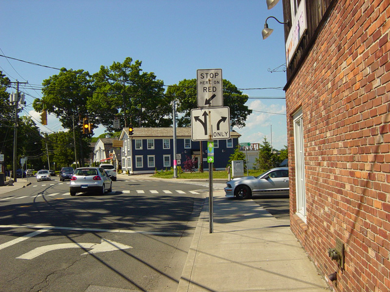
Charles Street ends at a traffic light at Riverside Avenue. Turn left to stay on CT 136.
Photos taken June 2016.
Riverside Avenue passes under the Connecticut Turnpike (I-95), but there is no interchange here.
Photo taken June 2016.
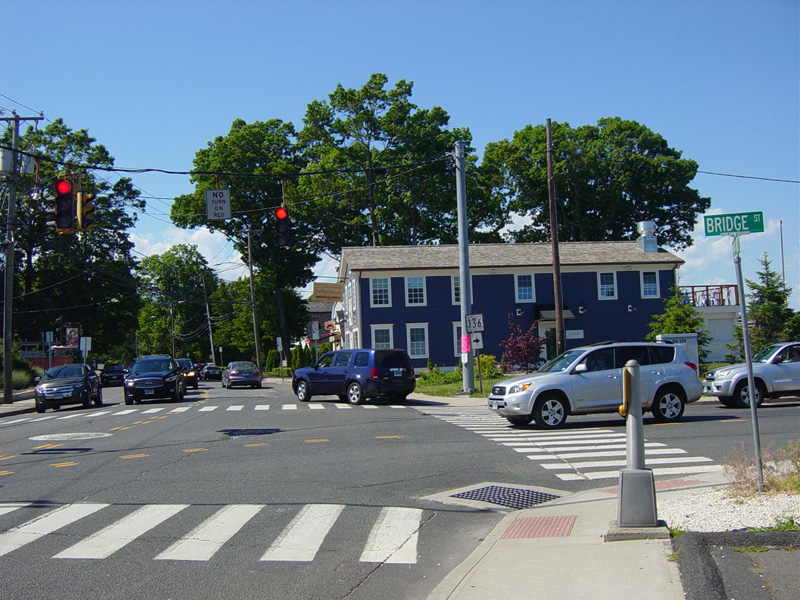
There is a traffic light at Bridge Street. Turn right to stay on CT 136.
Photos taken June 2016.
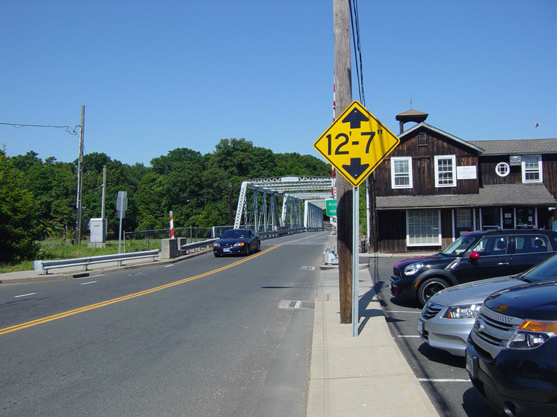
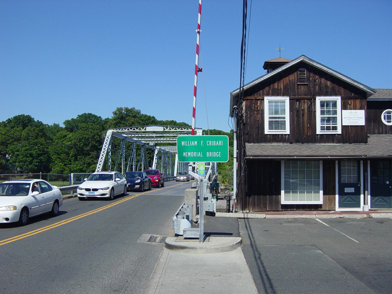
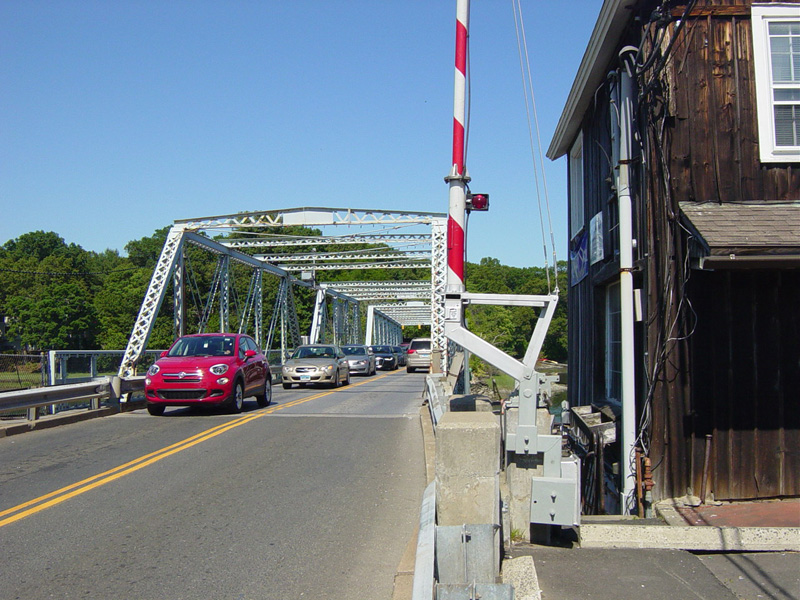
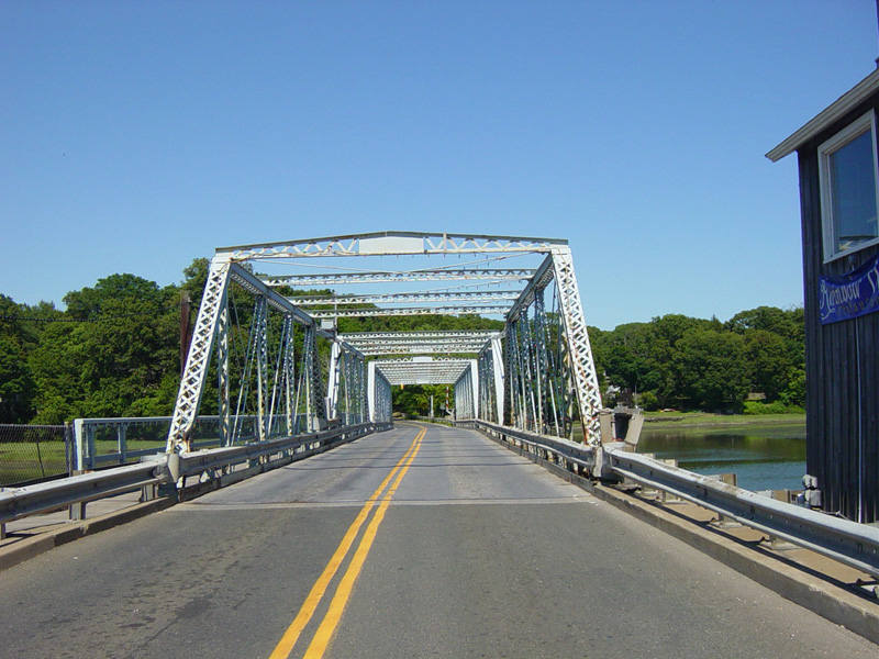
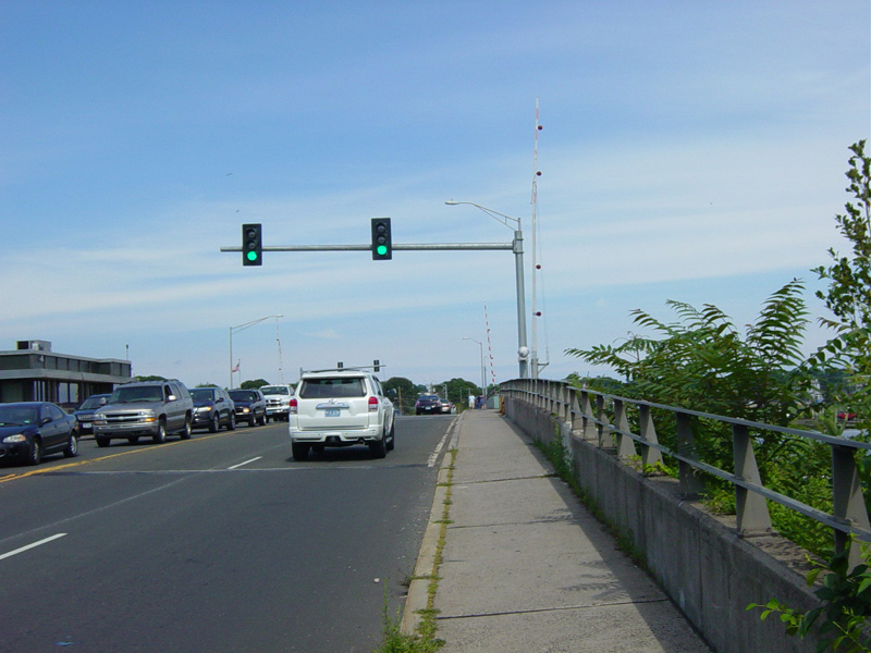
The William F. Cribari Memorial Bridge carries Bridge Street over the Saugatuck River.
Photos taken June 2016.
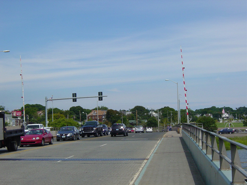
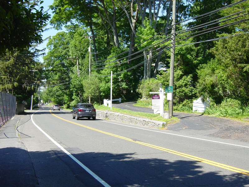
Bridge Street continues east for a short distance on the other side of the bridge.
Photos taken June 2016.
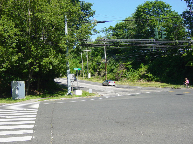
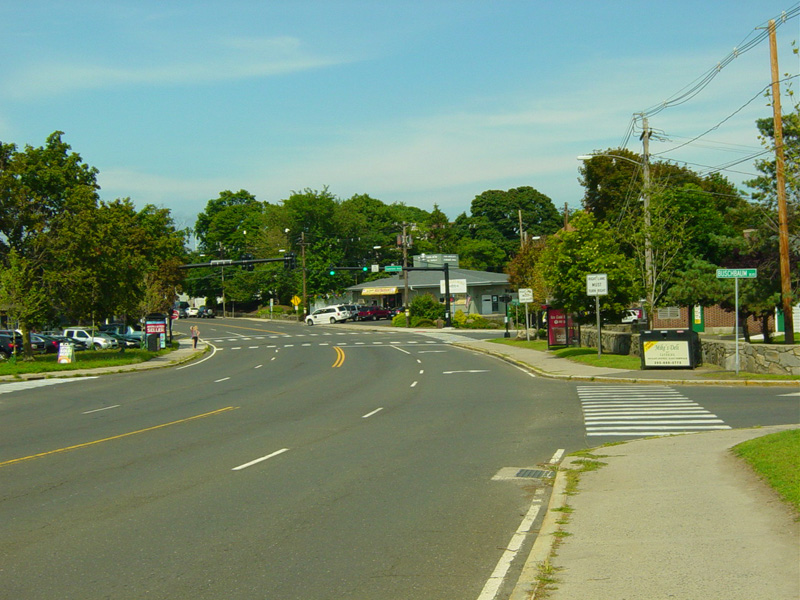
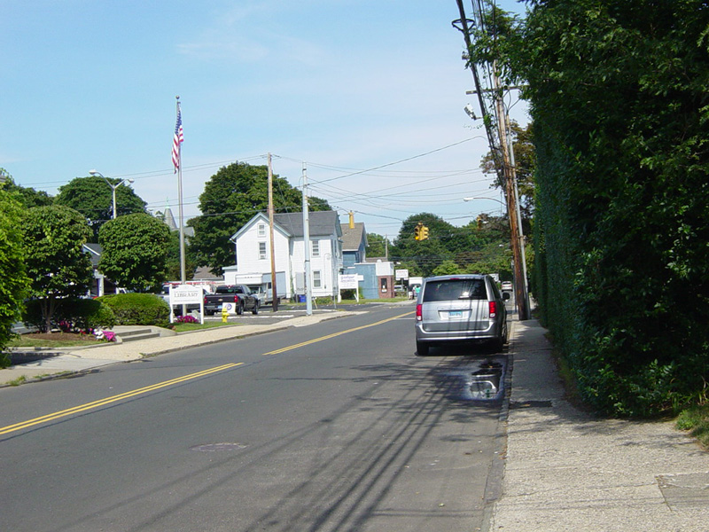
There is a traffic light at Compo Road South. Turn left to stay on CT 136.
Photos taken June 2016.
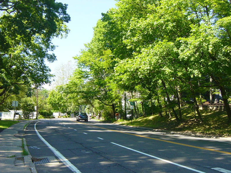
Compo Road South runs north as a two-lane undivided road.
Photos taken June 2016.
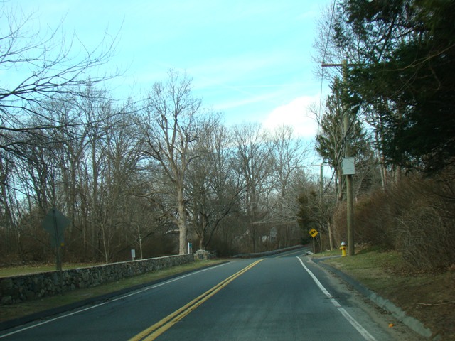
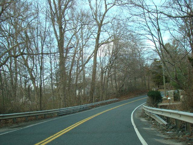
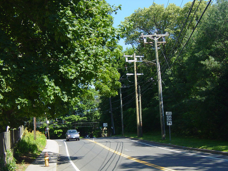
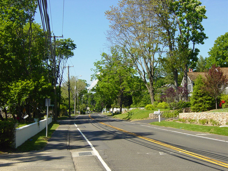
Skipping about half a mile, north of US 1, CT 136 is called Compo Road North.
Photos taken January 2008.
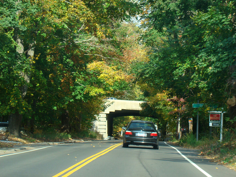
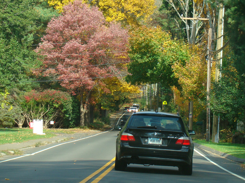
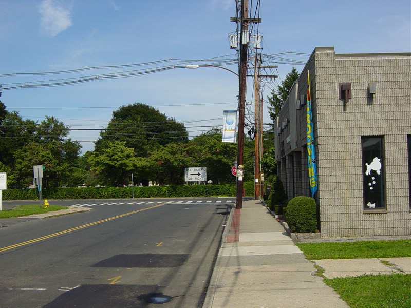
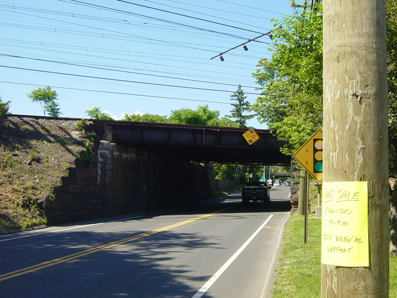
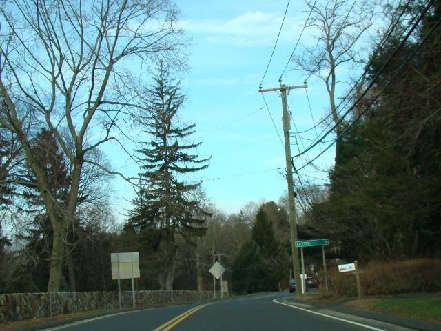
Skipping about a mile to the north, CT 136 splits off from CT 57 to become Easton Road. It passes under the Merritt Parkway (CT 15), but there is no interchange.
Photos taken October 2014.
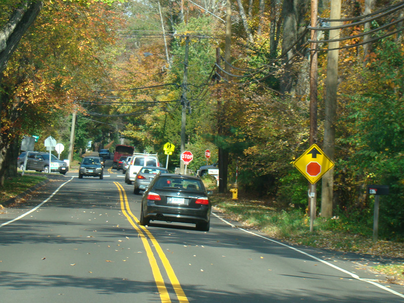
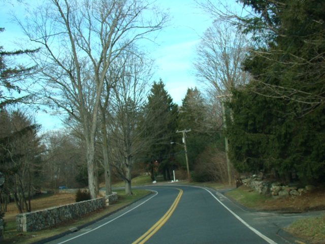
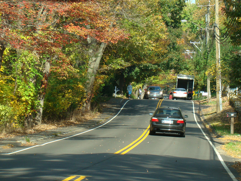
There is a stop sign at North Avenue.
Photo taken October 2014.