- Direction:
- North/South
- Southern Terminus:
- Concord Turnpike (MA 2/MA 2A) and Elm Street (MA 2A) in Concord
- Northern Terminus:
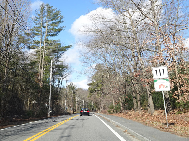
- Runnells Bridge Road (NH 111) at the Massachusetts-New Hampshire state line
- Distance:
- 27.45 miles
- Counties:
- Middlesex, Worcester
- Signed:
- Yes
MA 111 is a L-shaped route from Concord west to Harvard and then north into New Hampshire. It is signed as a north/south route. It begins at the rotary where MA 2A splits off from MA 2 in Concord. MA 111 is multiplexed with MA 2 west to exit 118, where MA 2 becomes an expressway. MA 111 splits off at this exit, and follows Massachusetts Avenue west past I-495 to Harvard, where it joins MA 110 along Ayer Road. The two routes are multiplexed until Ayer, where they split at a rotary at MA 2A. MA 110 follows MA 2A to the east, while MA 111 follows it to the west.
MA 111 is multiplexed with MA 2A along East Main Street, Main Street, and Park Street through Ayer. Then, it splits off to the north onto Groton School Road. In Groton, it changes names to become Farmers Row and then Pleasant Street. As Pleasant Street ends, it turns northwest onto Main Street (MA 119) for a couple of miles and then splits off to the north onto River Road, which ends at a rotary in Pepperell. On the other side of the rotary, MA 111 continues as Hollis Street and then turns onto Nashua Road, which it follows into New Hampshire. At the state line, it becomes NH 111, which runs northeast through the southeastern corner of the state to end near the ocean.
| Photo Gallery |
|---|
| Map |