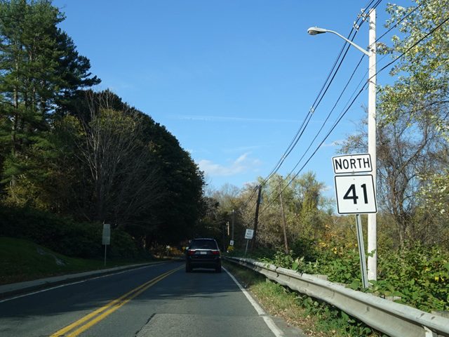
- Direction:
- North/South
- Southern Terminus:
- Under Mountain Road (CT 41) at the Connecticut-Massachusetts state line
- Northern Terminus:
- West Housatonic Street (US 20) in Pittsfield
- Distance:
- 31.57 miles
- Counties:
- Berkshire
- Signed:
- Yes
MA 41 is a north/south route through the Berkshires. It is the westernmost major north/south route in the southernmost half of the state. CT 41 becomes MA 41 upon entering Massachusetts. It runs north to Egremont, where it joins MA 23. The two routes are multiplexed to the northeast to Great Barrington, where they join US 7 along Main Street through the downtown area. After a short distance, US 7 and MA 23 turn to the east to cross a bridge over the Housatonic River, while MA 41 continues north. In West Stockbridge, there is an interchange with the Massachusetts Turnpike (I-90). Immediately thereafter, MA 41 is multiplexed with MA 102 for a short distance to the northwest and then splits off to continue north to Pittsfield, where it ends at West Housatonic Street (US 20).
| Photo Gallery |
|---|
| Map |