- Direction:
- East/West
- Western Terminus:
- Third Street in Stevensville
- Eastern Terminus:
- Centreville Road (MD 213) in Centreville
- Distance:
- 20.37 miles
- Counties:
- Queen Anne's
- Signed:
- Yes
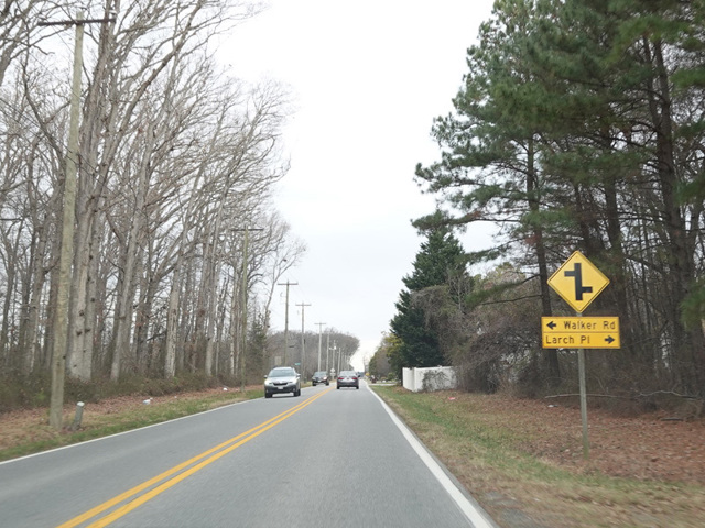
MD 18 is an east/west surface road serving as the local alternative to the US 50/US 301 expressway on Kent Island and the adjoining areas of the Eastern Shore. It begins in the Love Point area of Stevensville. Love Point Road begins as a local street at the northern tip of the peninsula and becomes MD 18 after a short distance. It runs south down the peninsula. As it gets closer to US 50/US 301, Love Point Road splits off to become a local street, while MD 18 continues as Business Parkway and widens to become a four-lane divided highway.
Immediately thereafter, MD 18 turns east onto Main Street, while Business Parkway continues south as MD 8. Main Street runs east, right next to the US 50/US 301 expressway. It crosses Ocean Gateway (US 50) just east of the US 50/US 301 split. All vehicles are forced to turn right onto Ocean Gateway (US 50), even though Main Street continues on the other side, making it impossible to simply follow MD 18 uninterrupted through this area. The same arrangement exists again not even half a mile to the north at US 301. On the other side of US 301, it continues north and east, changing names to become 4-H Park Road before ending at Centreville Road (MD 213) in Centreville.
| Photo Gallery |
|---|
| Map |