- Direction:
- North/South
- Southern Terminus:
- Elk Neck State Park
- Northern Terminus:
- Chrome Road (PA 272) at the Maryland-Pennsylvania state line
- Distance:
- 20.67 miles
- Counties:
- Cecil
- Signed:
- Yes
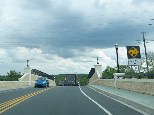
MD 272 is a north/south route that serves as the main road for Elk Neck, a peninsula in Chesapeake Bay. It begins at a parking lot at Elk Neck State Park, where there is a trail leading to the Turkey Point Lighthouse at this tip of the peninsula. The first section is known as Turkey Point Road and runs north through Elk Neck to North East. There, it splits into a pair of parallel one-way streets while passing through the downtown area. Northbound traffic follows Mauldin Avenue, while southbound traffic follows Main Street. Just north of Cecil Avenue (MD 7), the two sides merge back together to form a two-way Mauldin Avenue. Shortly thereafter, it crosses Pulaski Highway (US 40), where it changes names to become North East Road. It continues north, passing through an interchange with the John F. Kennedy Memorial Highway (I-95) at exits 100A-B. Eventually, it crosses Telegraph Road (MD 273) and changes names again to become Chrome Road. After a short distance further, it crosses into Pennsylvania, becomes PA 272 at the state line.
| Photo Gallery |
|---|
| Map |