Turkey Point Road, Mauldin Avenue, Main Street, North East Road, Chrome Road
Northbound Views
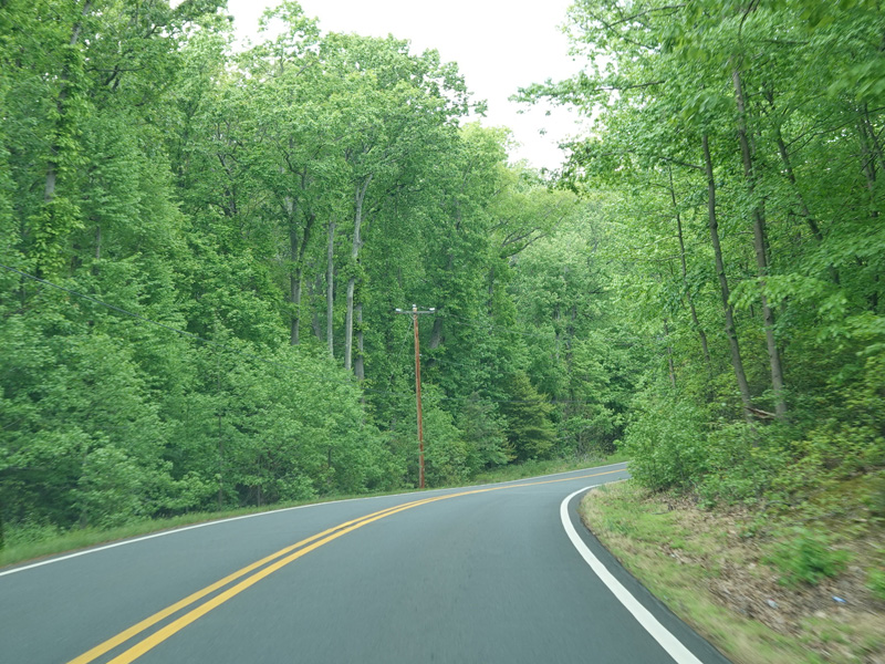
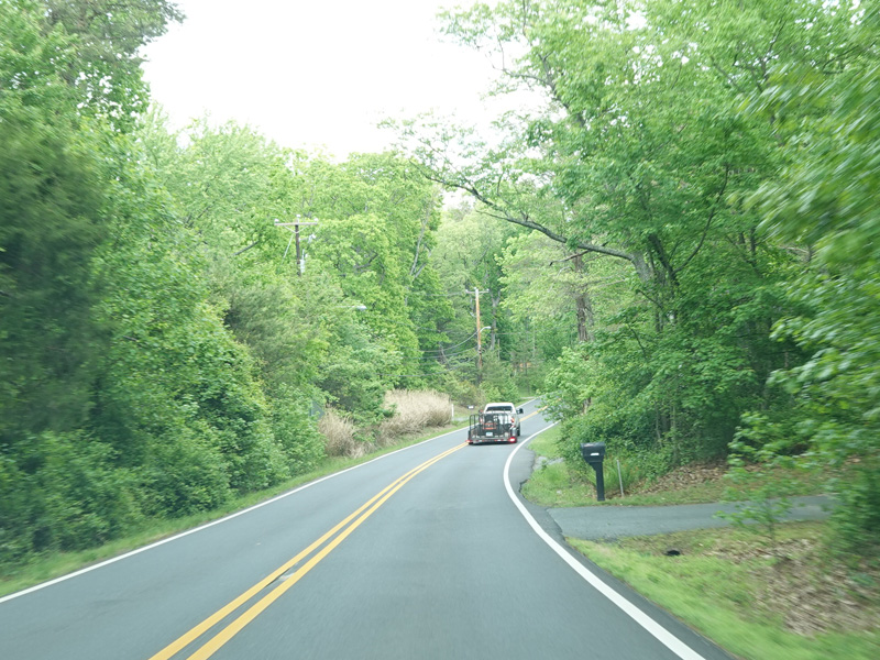
Turkey Point Road begins at the parking lot for the trail to the Turkey Point Lighthouse. It runs north as a two-lane undivided road. There is a short stretch with some houses near the tip of peninsula.
Photos taken May 2023.
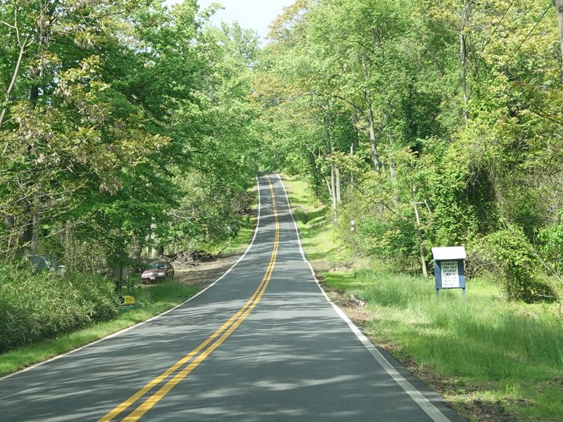
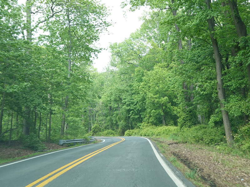
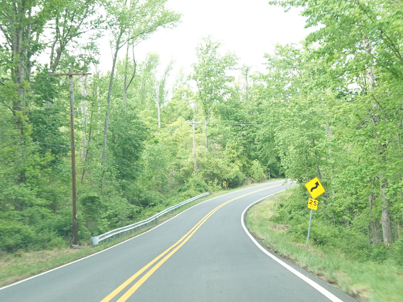
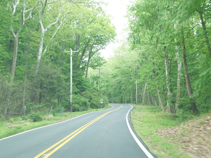
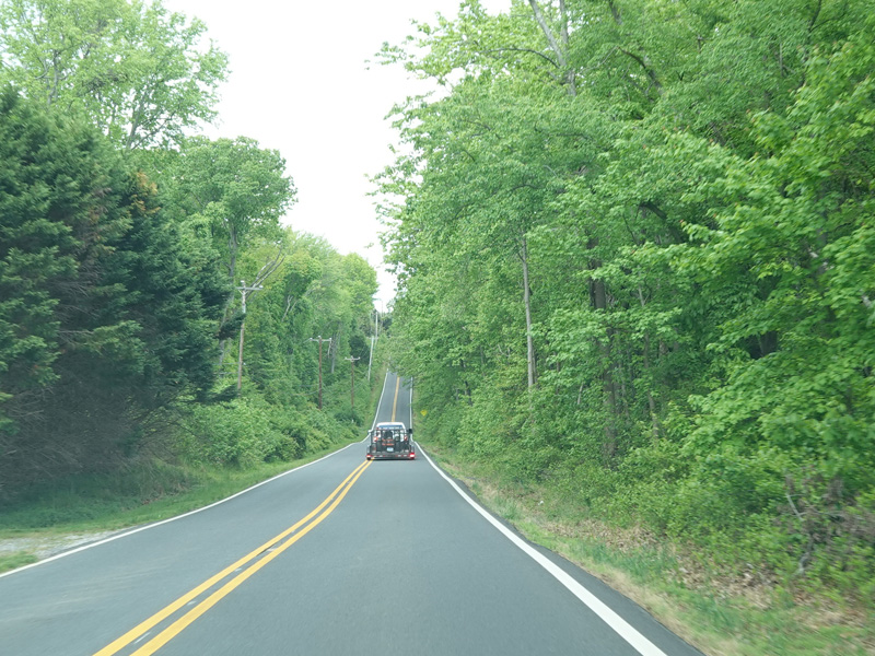
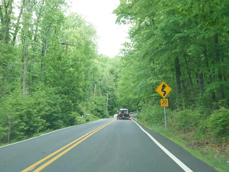
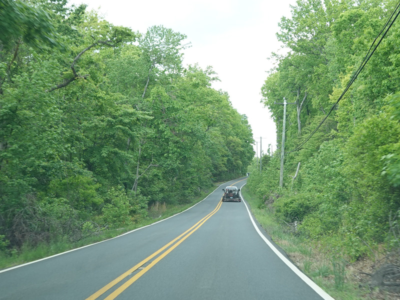
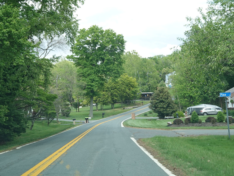
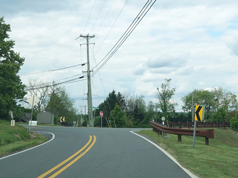
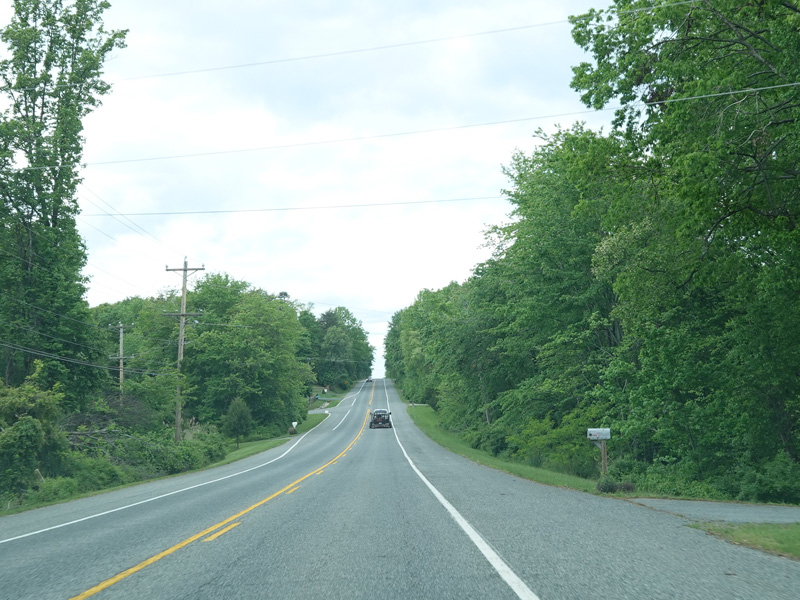
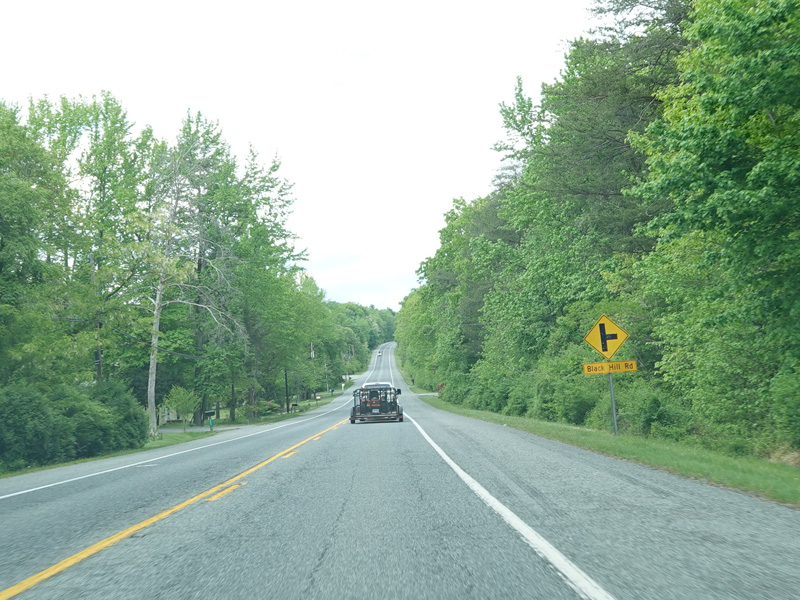
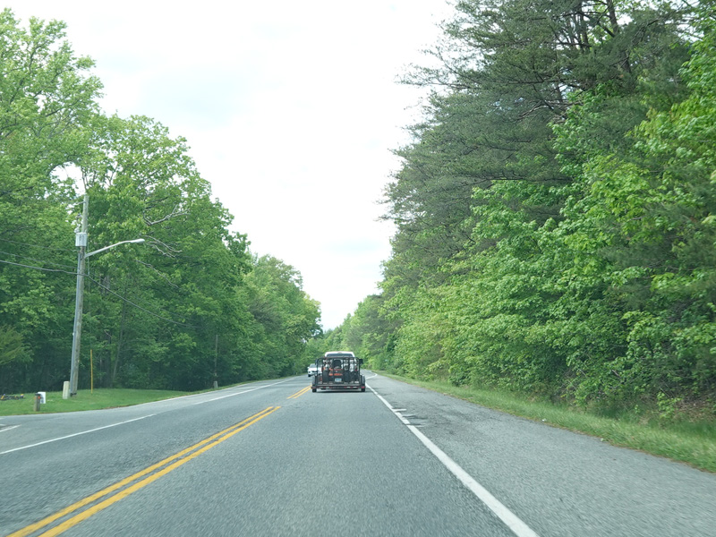
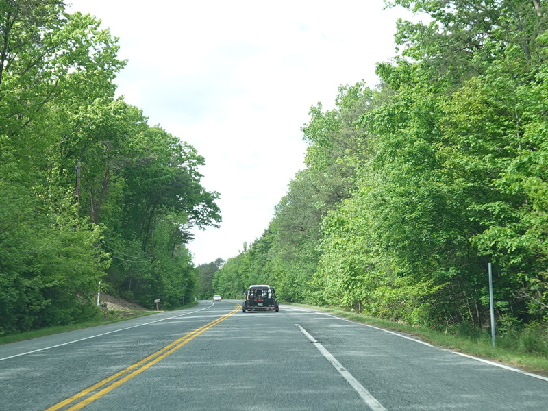
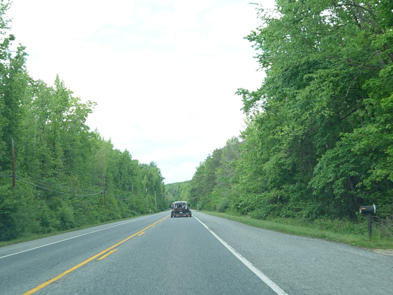
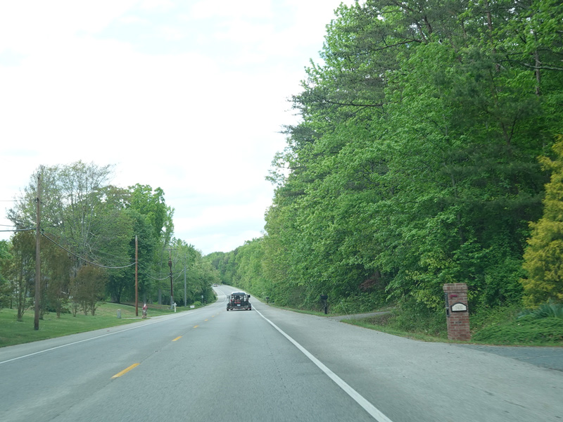
Turkey Point Road runs north through Elk Neck State Park.
Photos taken May 2023.
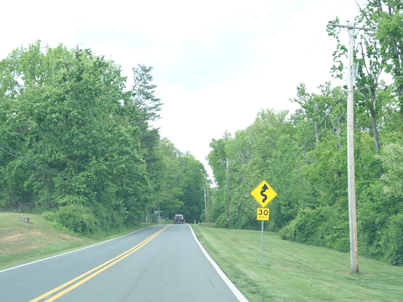
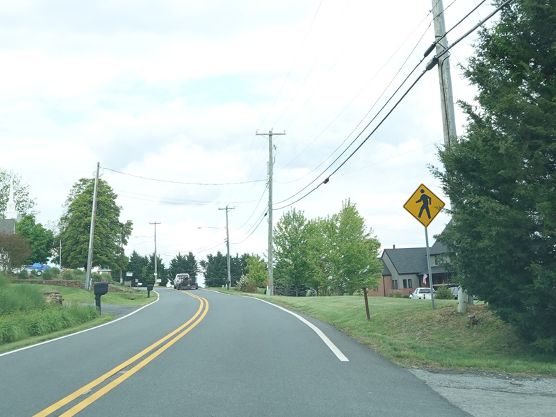
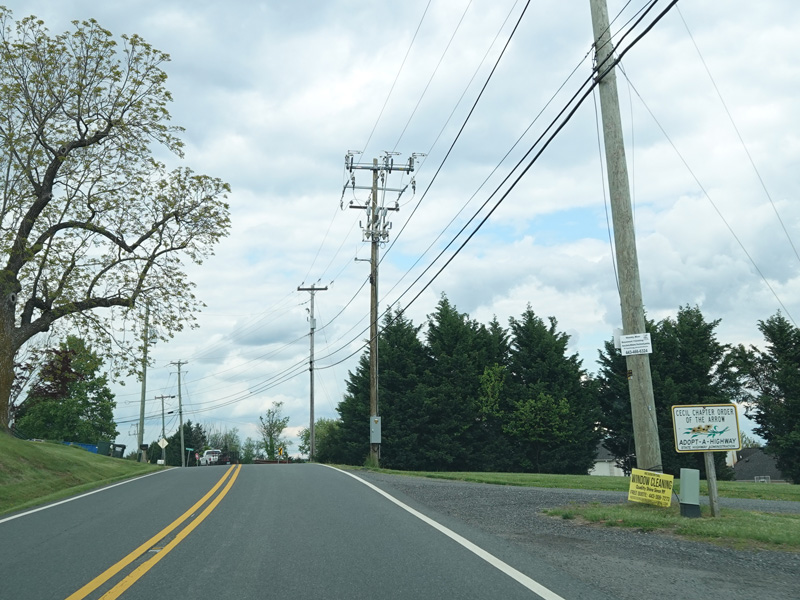
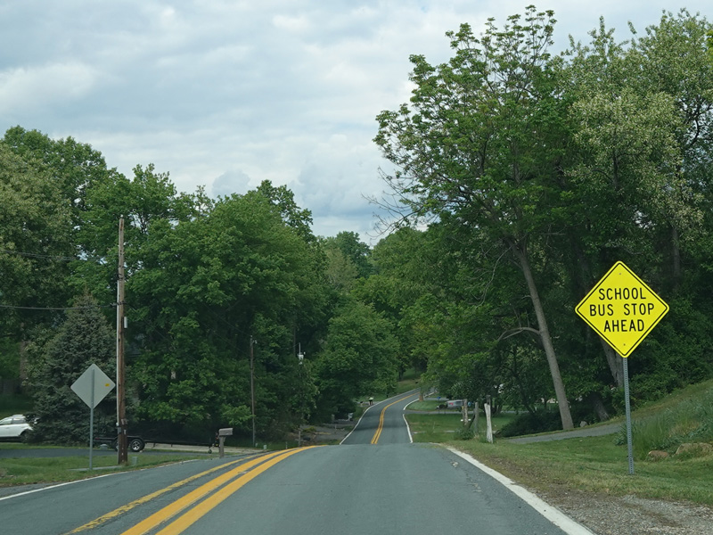
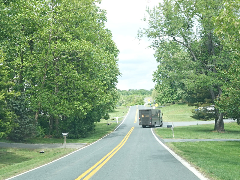
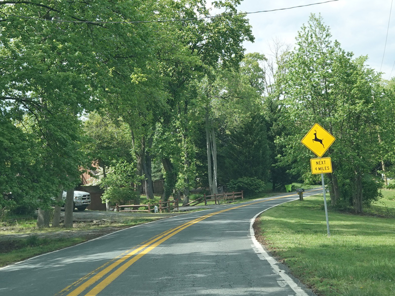
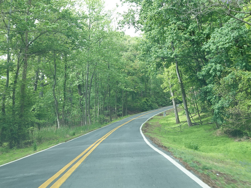
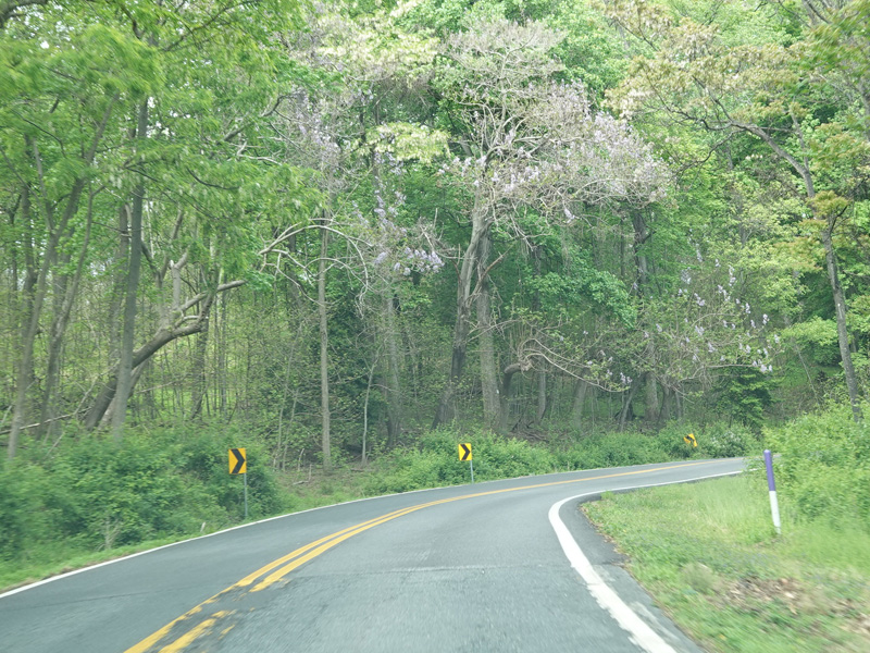
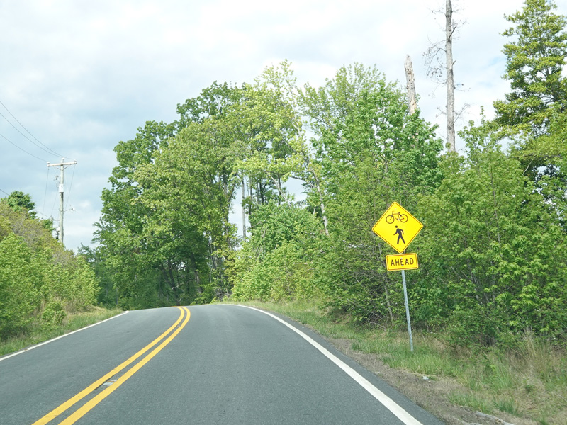
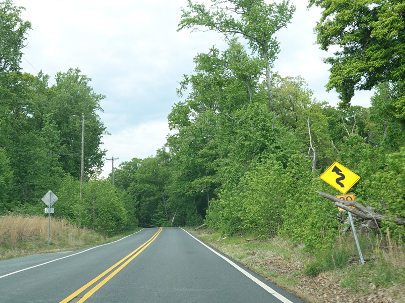
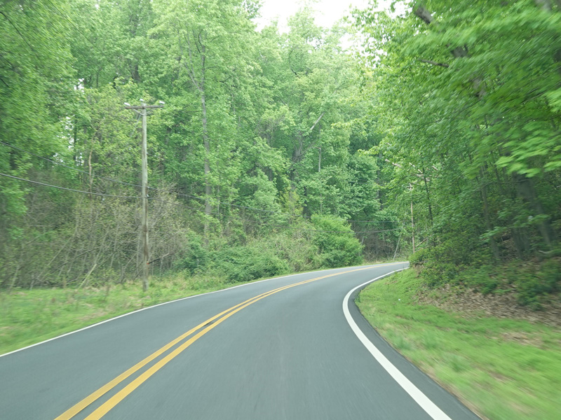
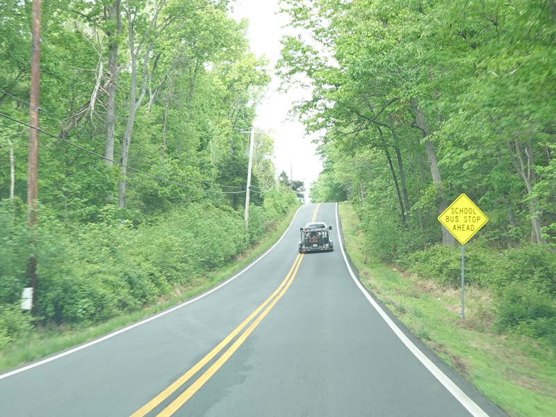
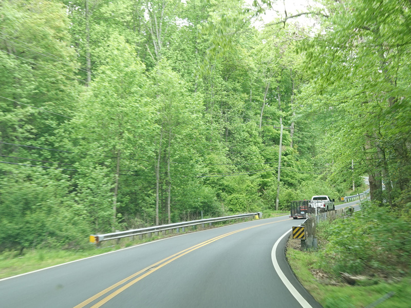
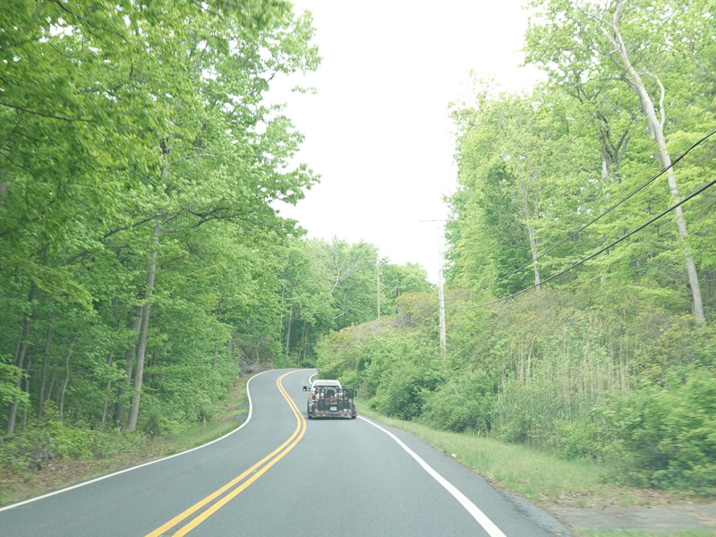
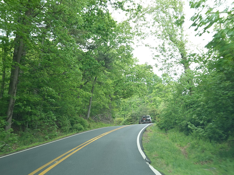
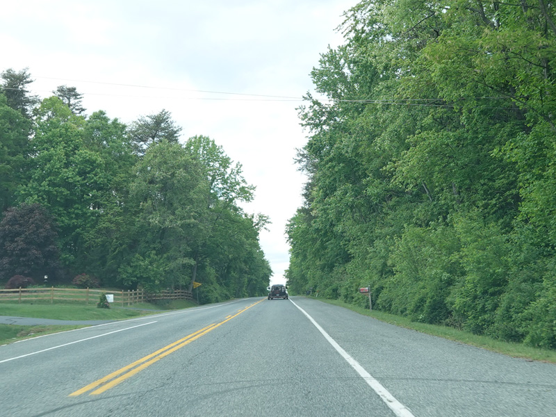
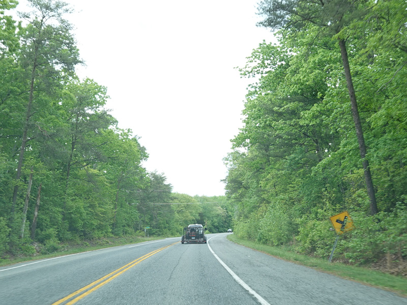
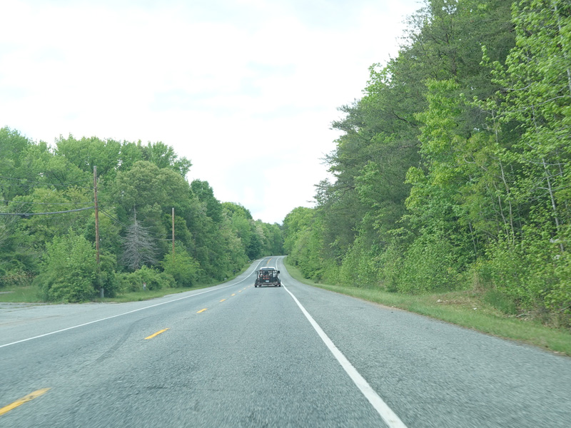
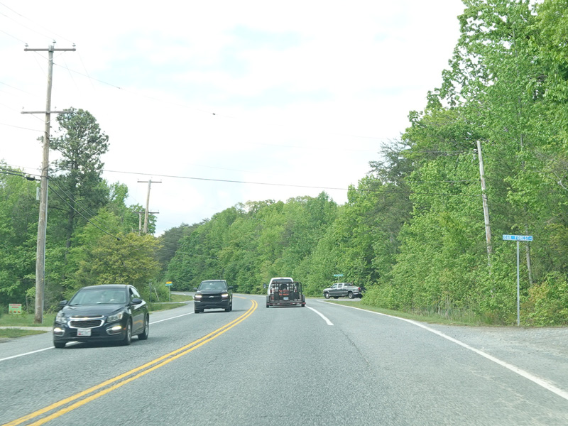
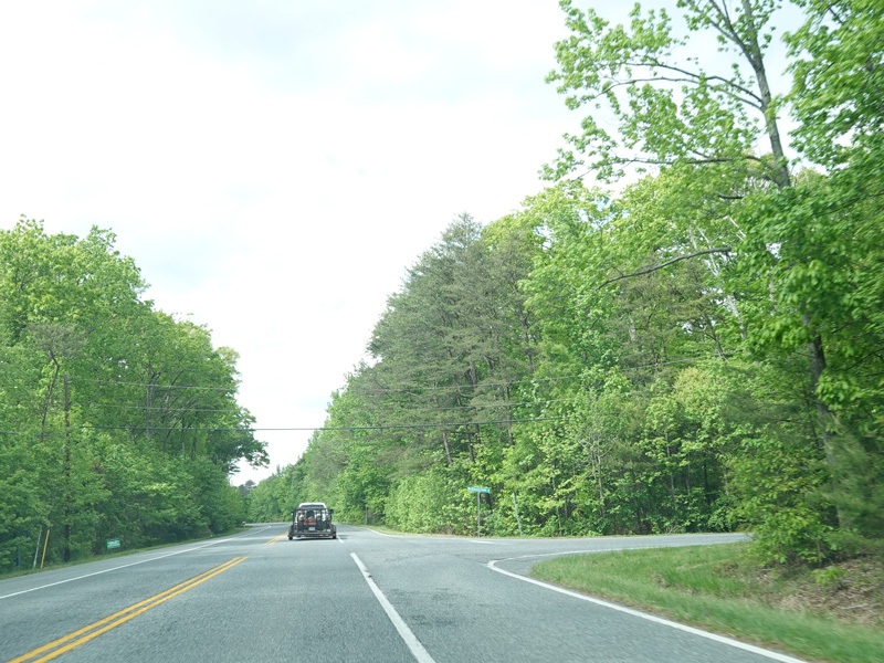
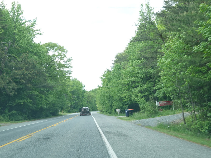
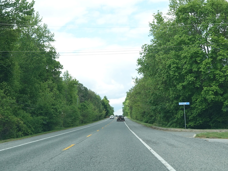
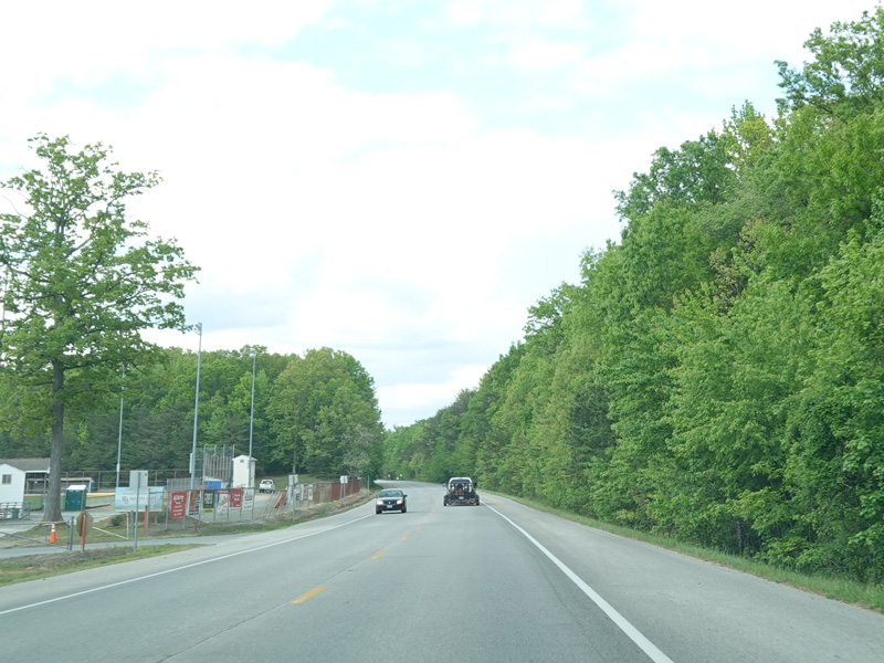
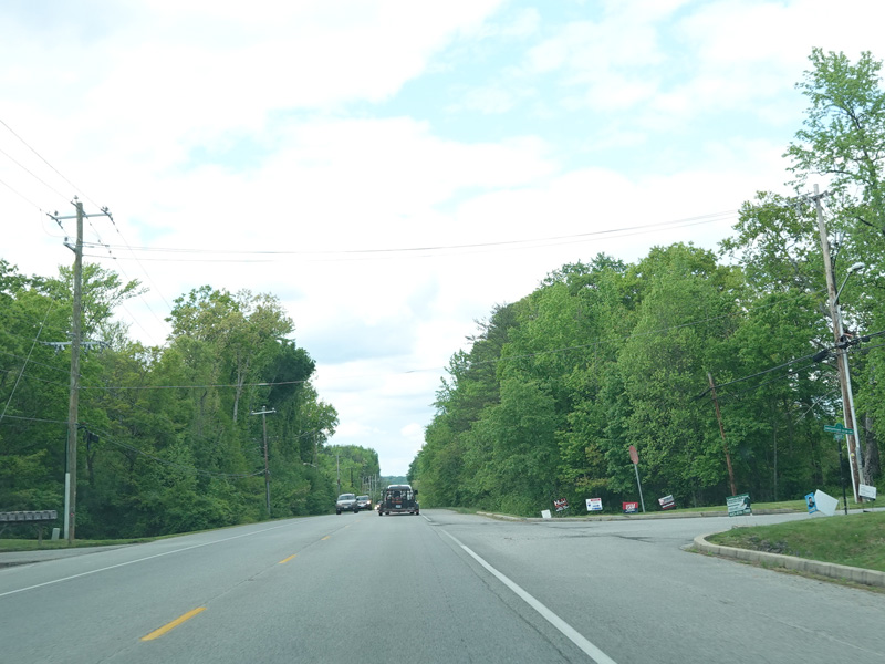
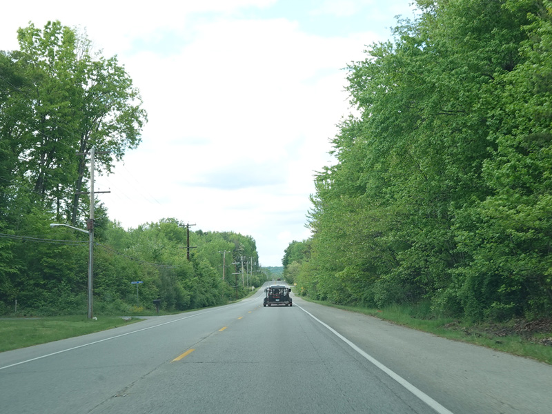
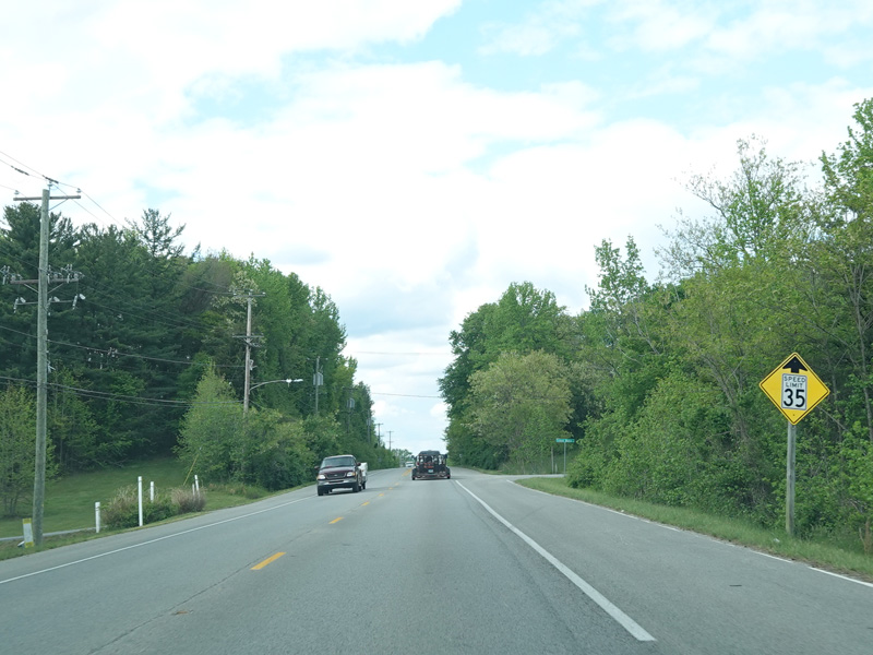
Turkey Point Road continues north up the peninsula.
Photos taken May 2023.
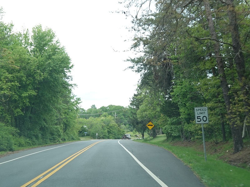
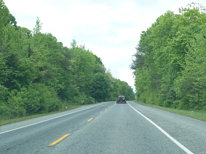
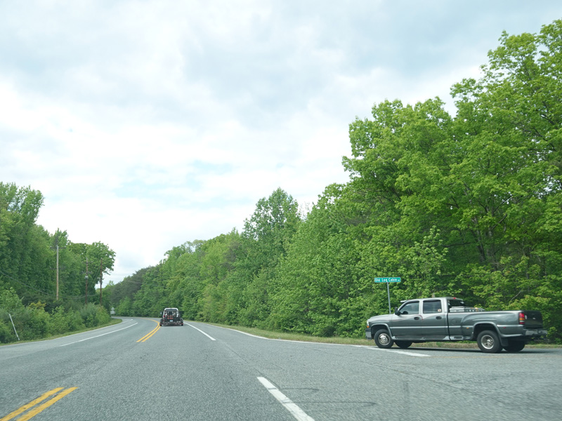
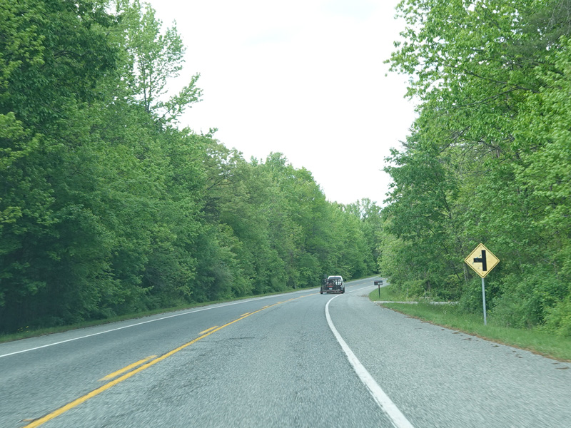
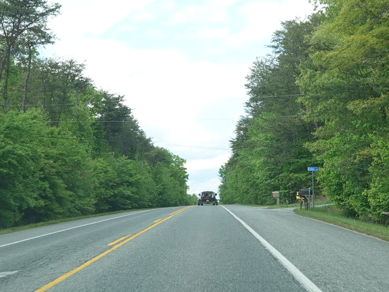
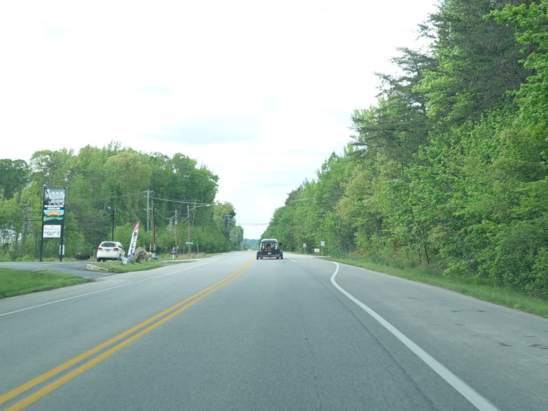
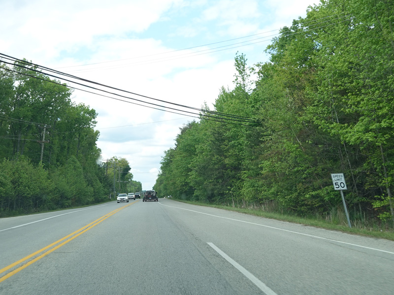
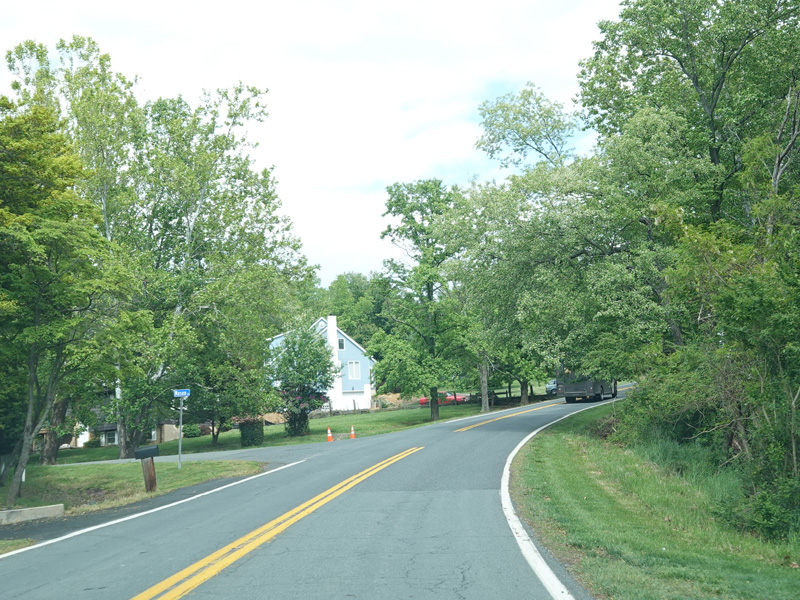
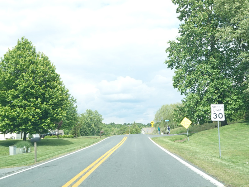
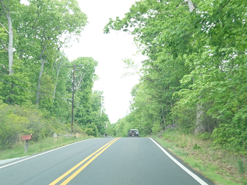
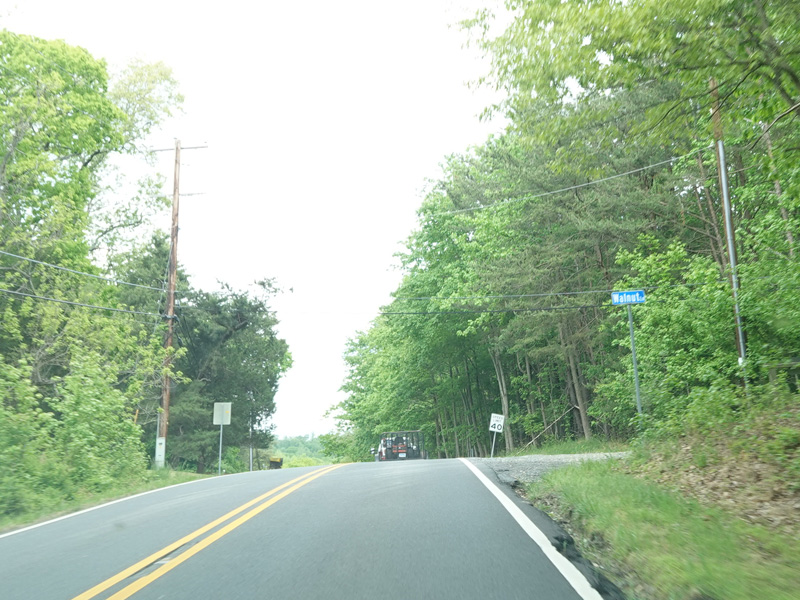
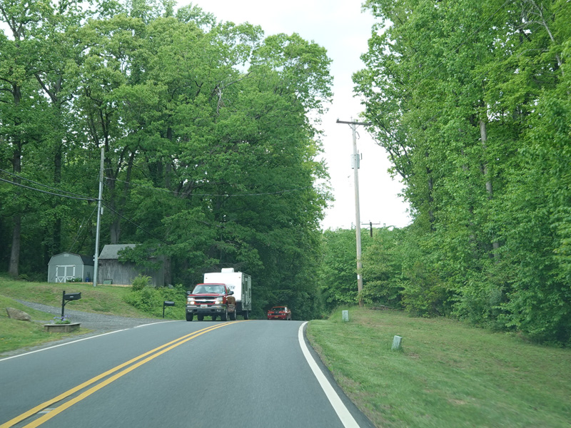
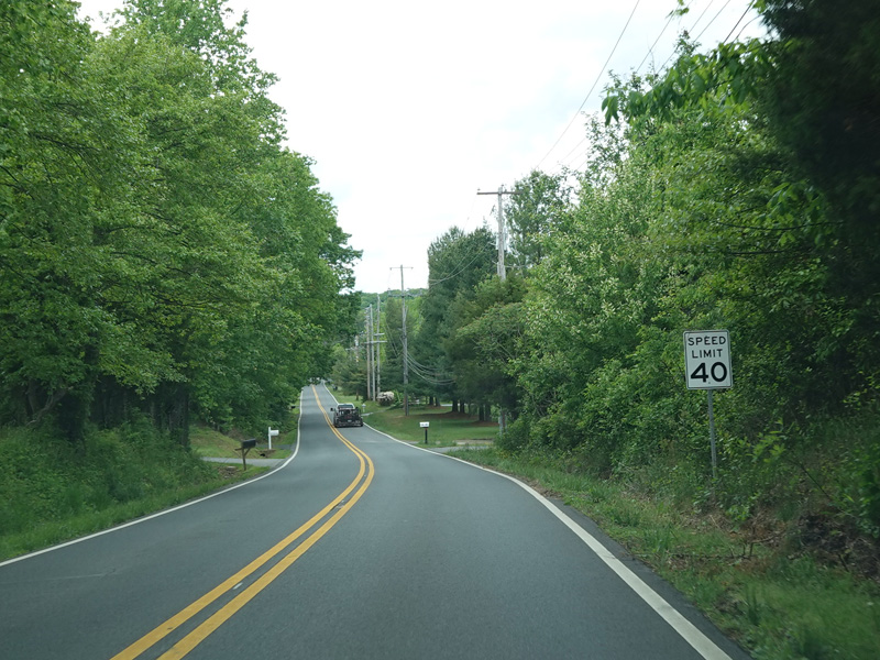
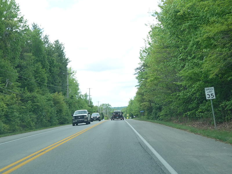
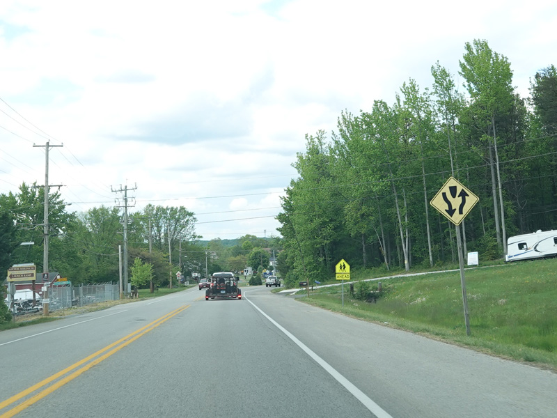
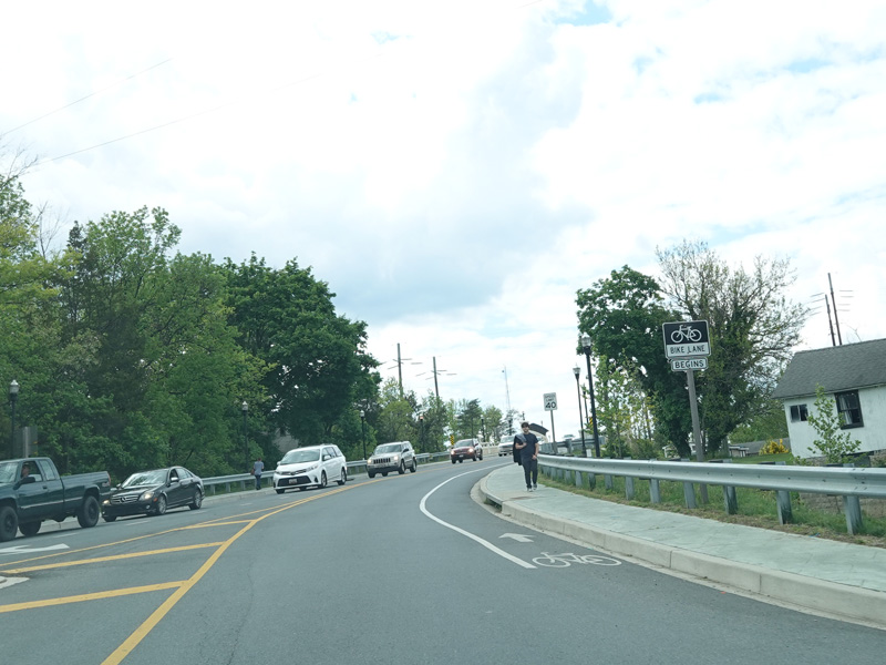
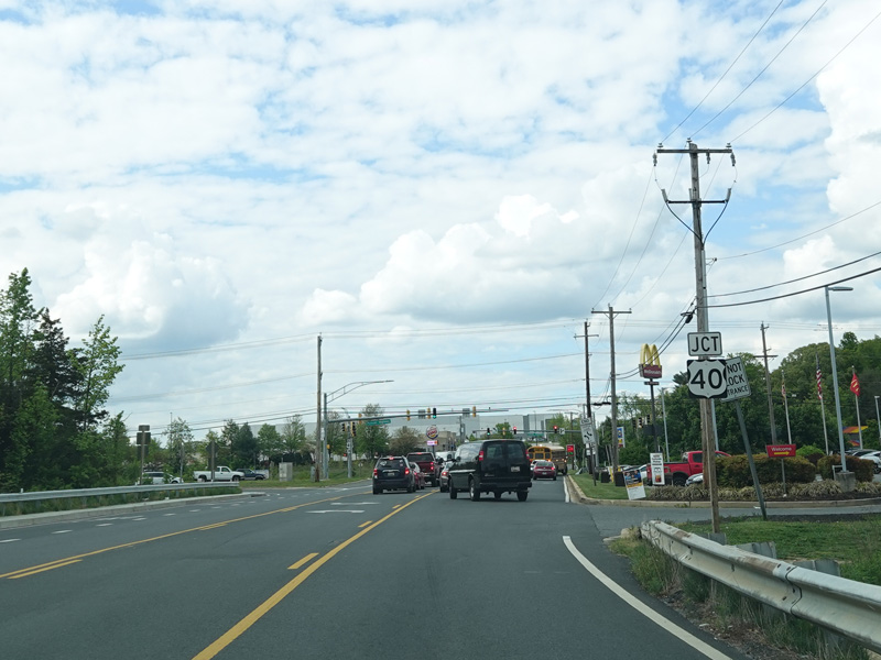
The speed limit goes up to 50 MPH as Turkey Point Road widens to have shoulders.
Photos taken May 2023.
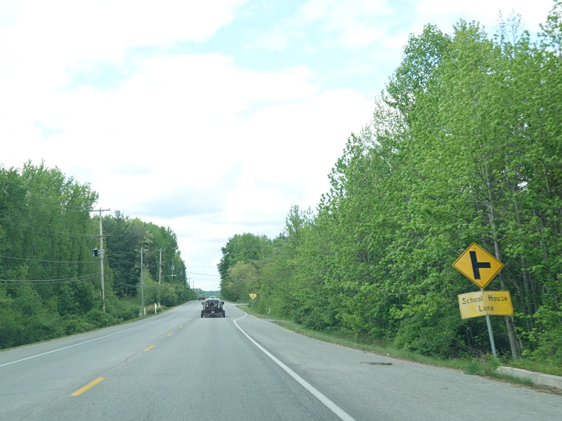
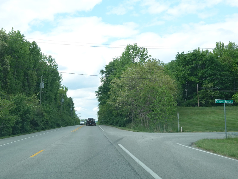
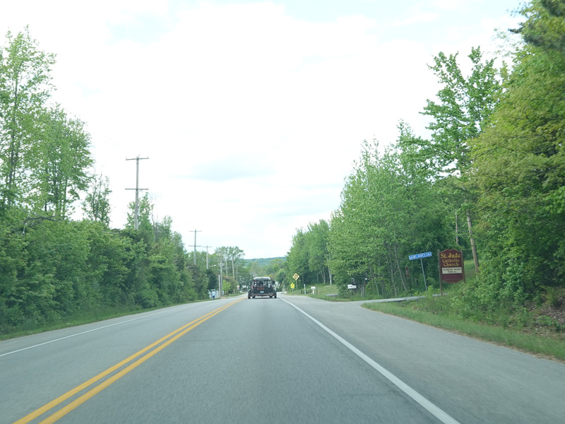
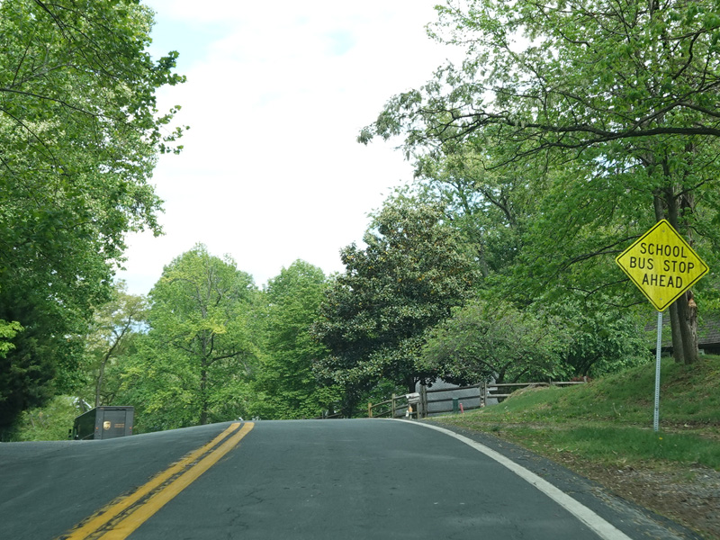
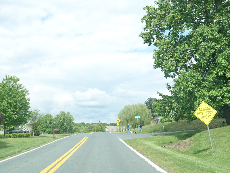
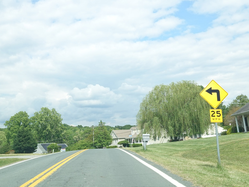
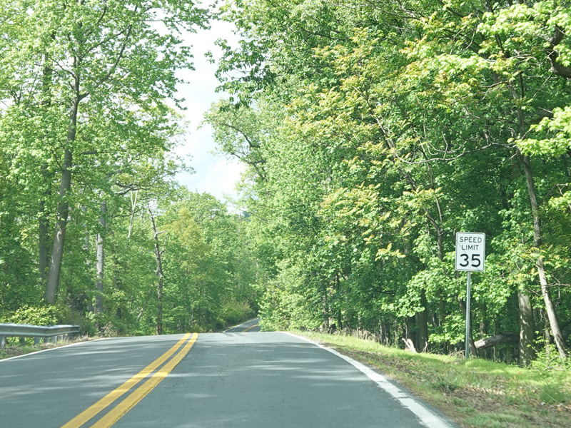
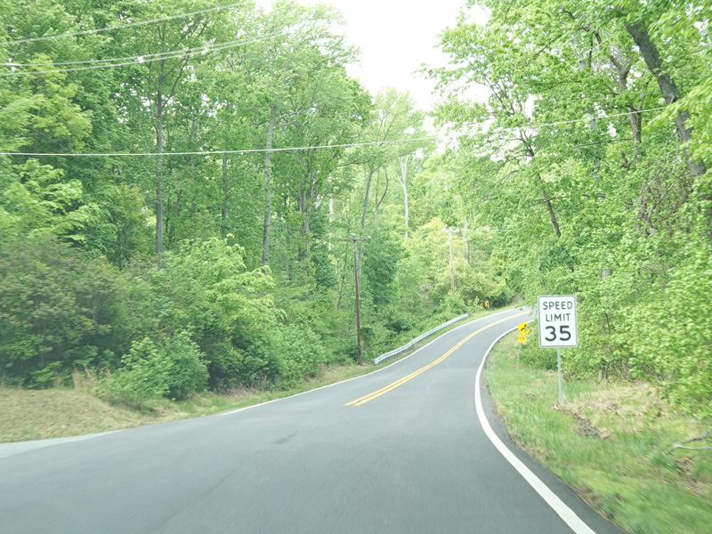
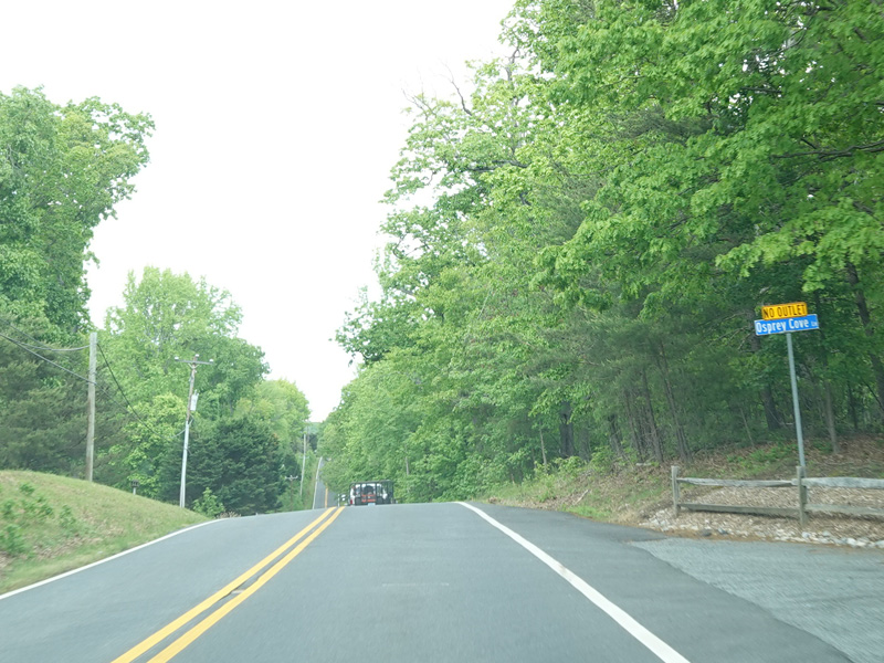
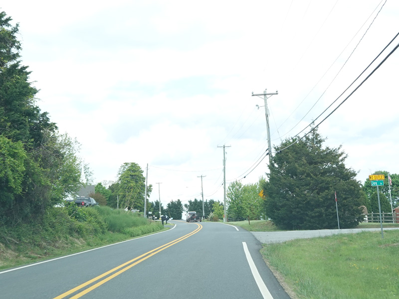
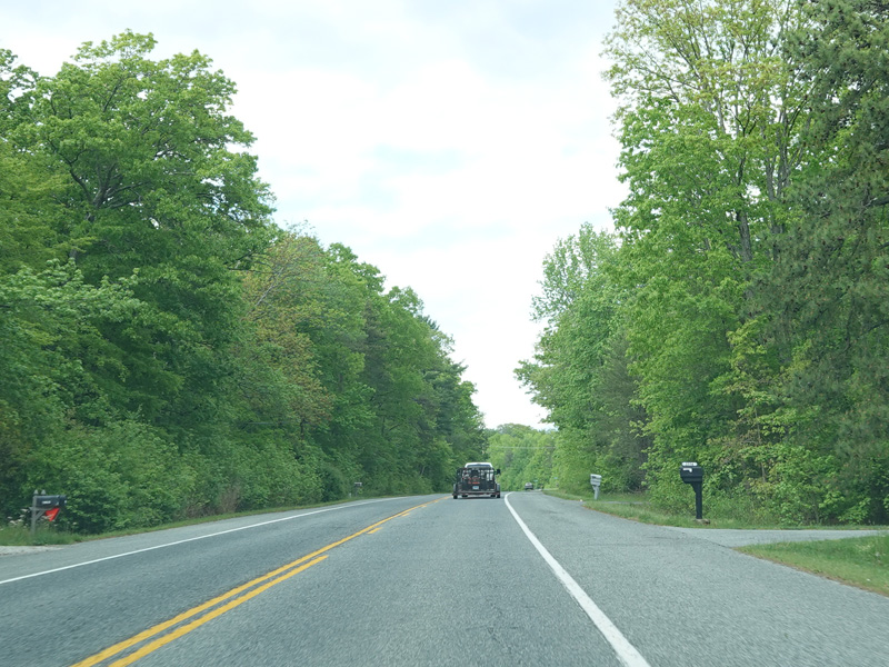
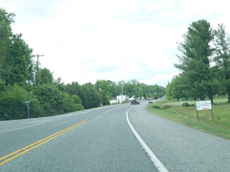
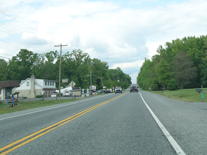
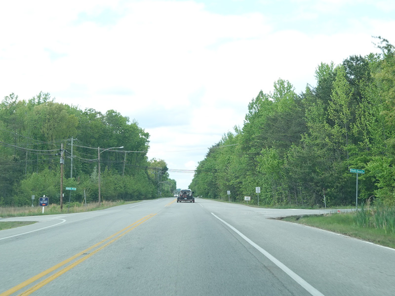
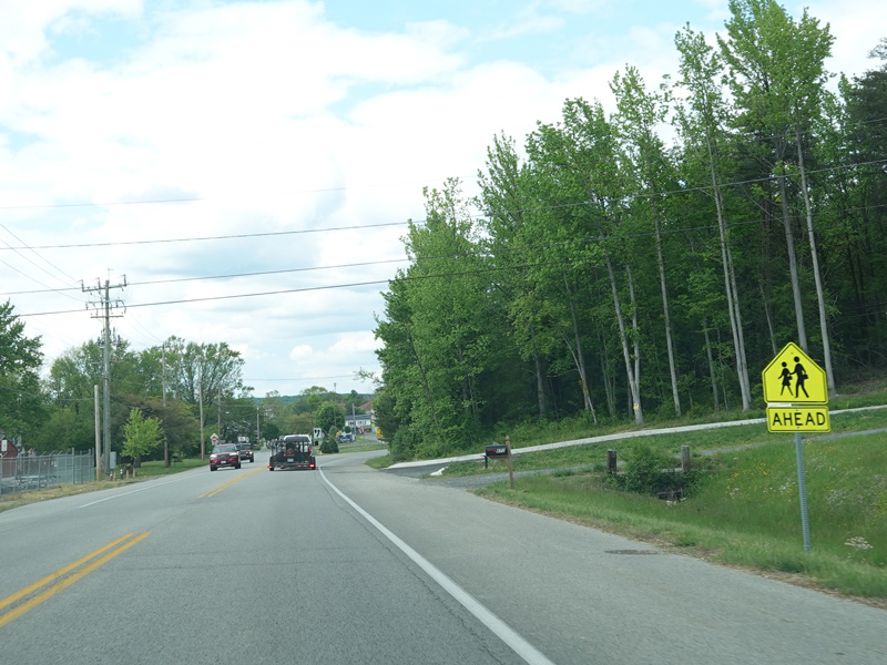
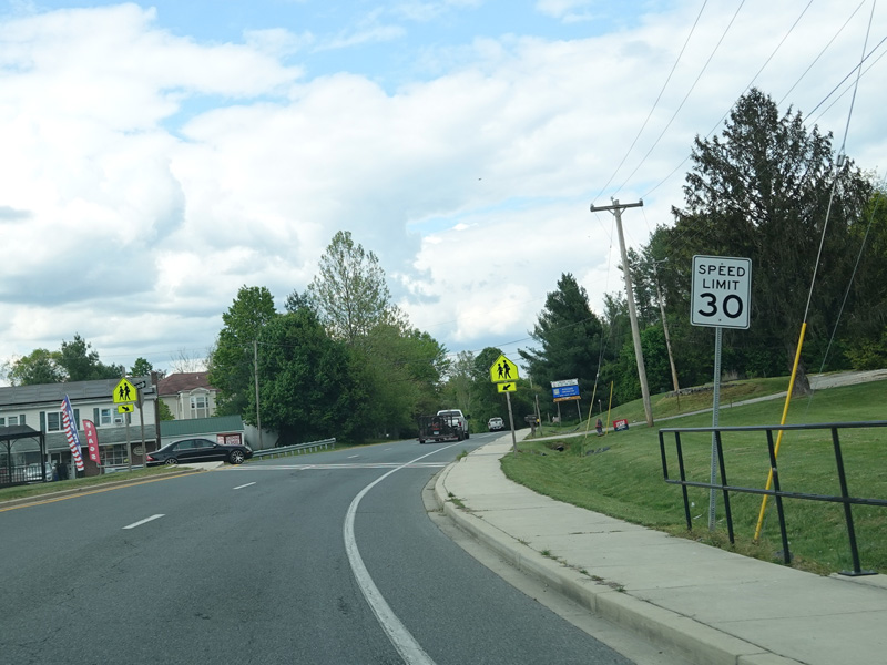
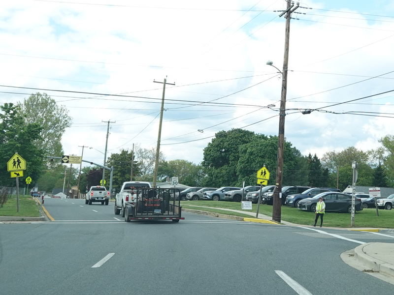
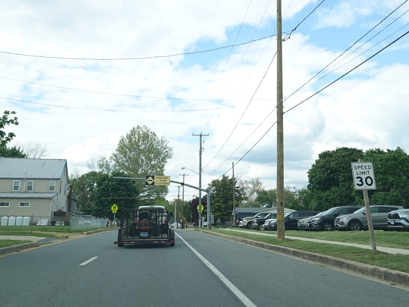
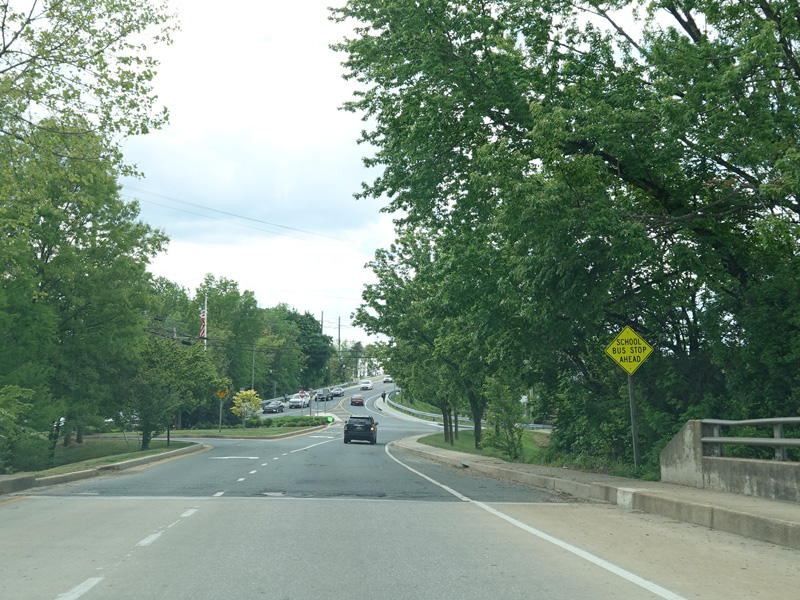
School House Lane begins on the right. The speed limit drops to 35 MPH coming into North East.
Photos taken May 2023.
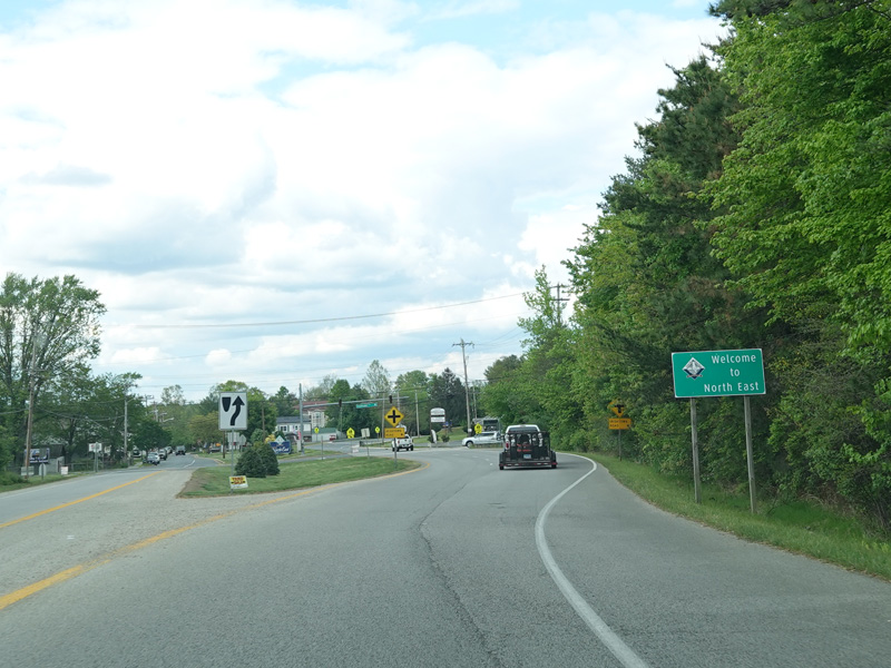
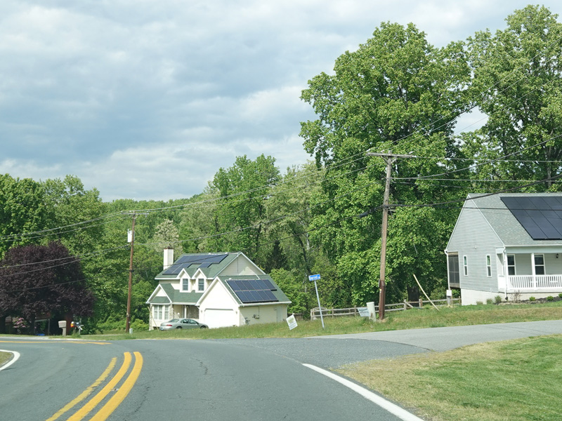
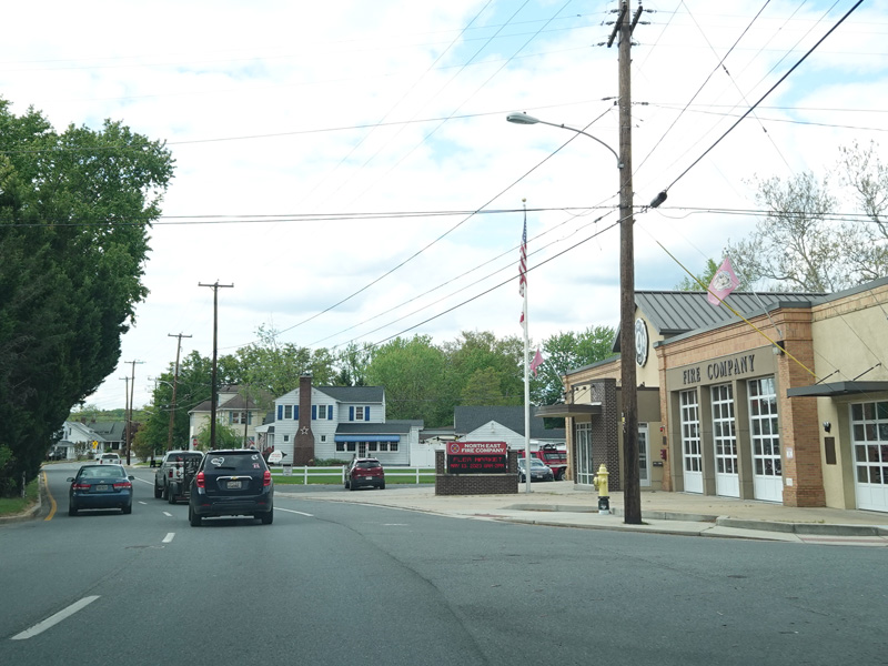
Welcome to North East! Turkey Point Road divides into a pair of parallel one-way streets. Northbound traffic follows Mauldin Avenue, while southbound traffic follows Main Street.
Photos taken May 2023.
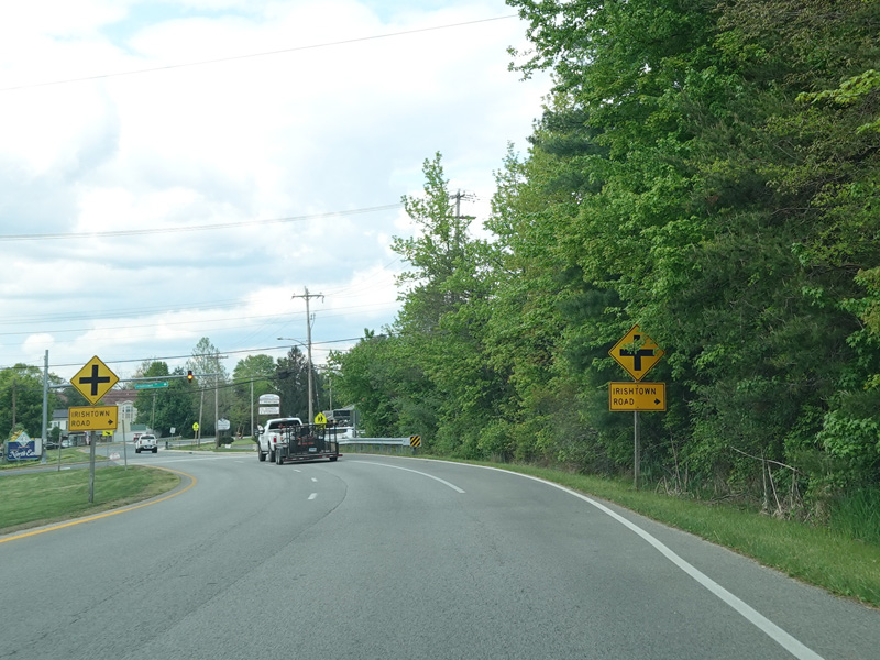
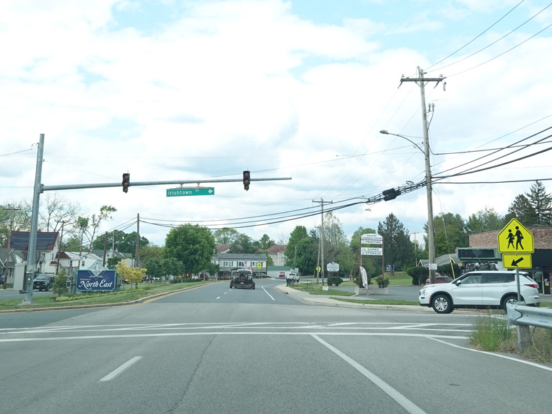
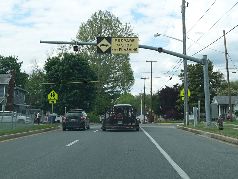
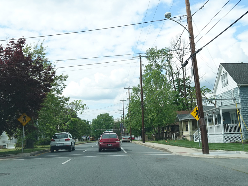
There is a flasher at Irishtown Road.
Photos taken May 2023.
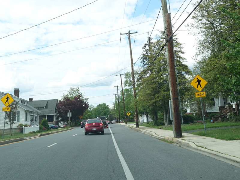
Mauldin Avenue runs north as a two-lane one-way street.
Photos taken May 2023.
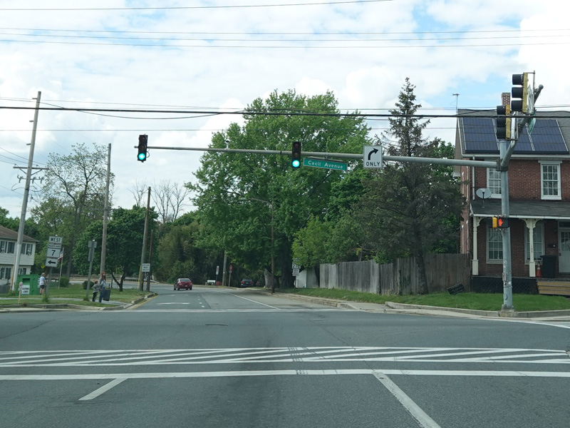
There is a traffic light at Cecil Avenue (MD 7). Turn right to go east or left to go west.
Photo taken May 2023.
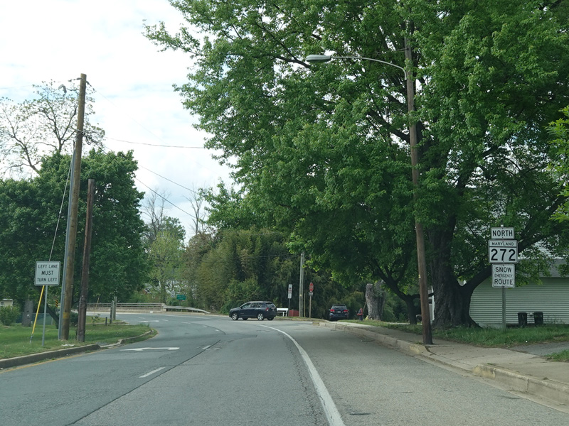
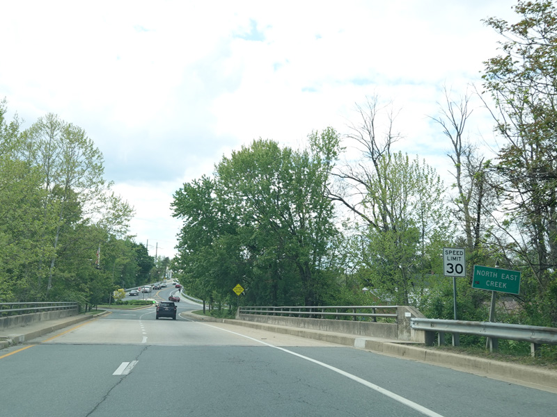
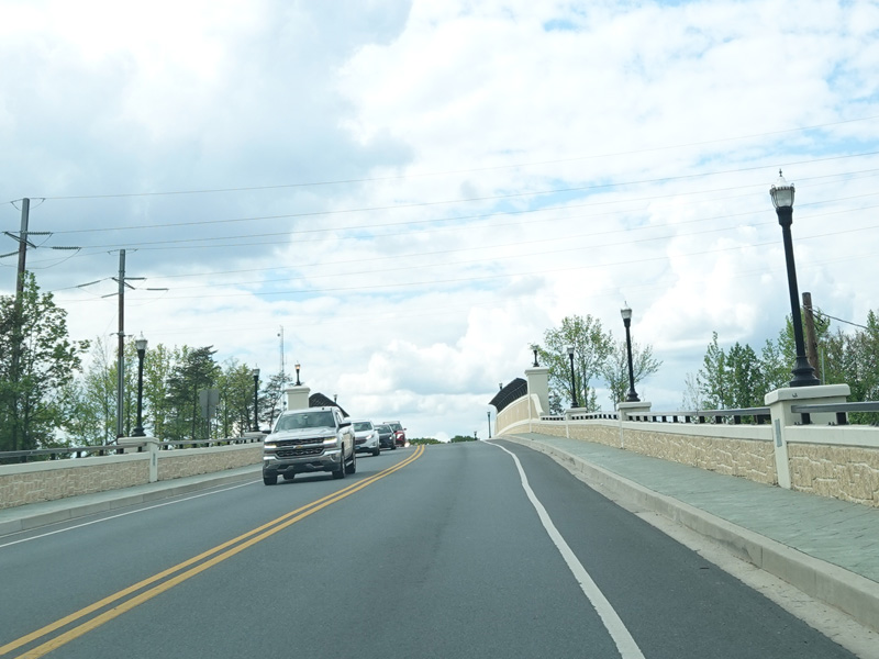
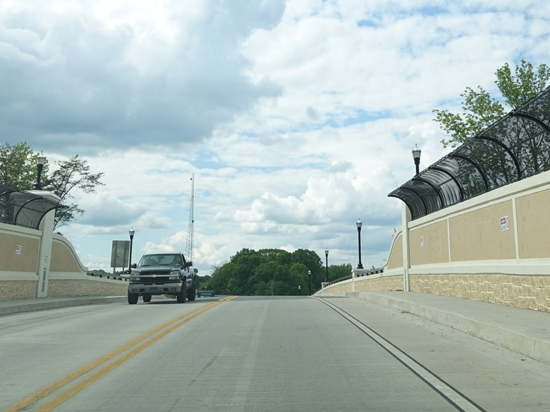
There is a bridge over North East Creek. Then, the northbound and southbound lanes come back together.
Photos taken May 2023.
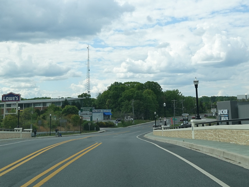
There is a bridge over railroad tracks.
Photos taken May 2023.
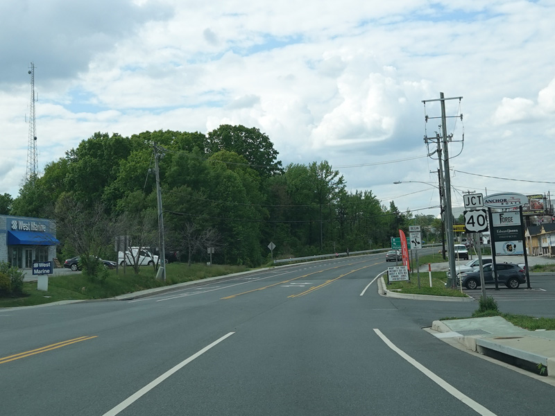
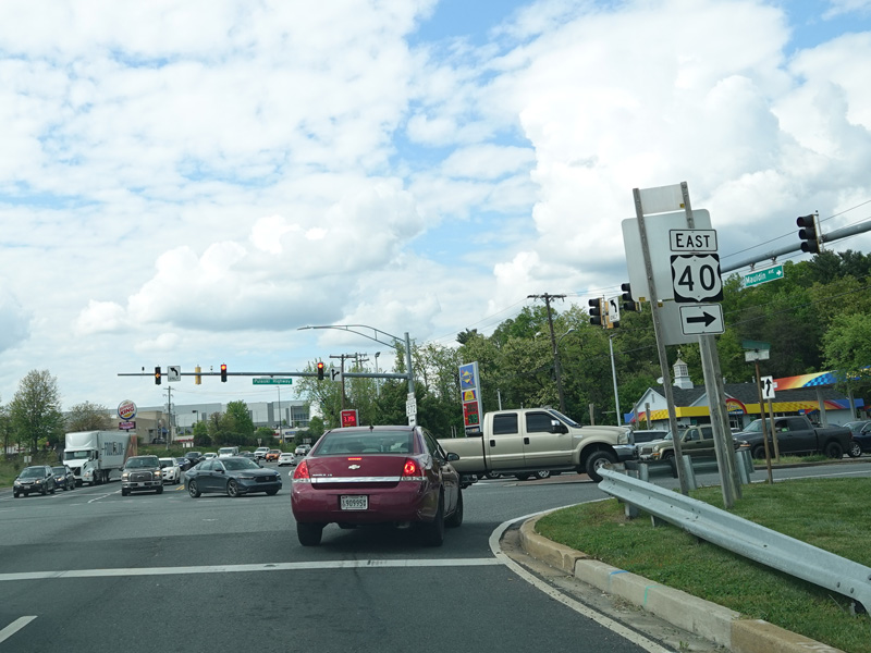
There is a traffic light at Pulaski Highway (US 40). Turn right to go east or left to go west.
Photos taken May 2023.