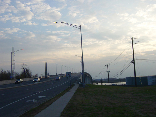
Central Avenue, Grand Central Avenue, Ocean Avenue, Sea Avenue, Cincinnati Avenue, Hawthorne Avenue, Richmond Avenue, River Road, Main Street, Broad Street, Maple Avenue, Riverside Avenue, Victory Bridge, Convery Boulevard, Amboy Avenue, St. Georges Avenue

- Direction:
- North/South
- Southern Terminus:
- Island Beach State Park
- Northern Terminus:
- Lincoln Highway (NJ 27) in Rahway
- Distance:
- 58.07 miles
- Counties:
- Ocean, Monmouth, Middlesex, Union
- Signed:
- Yes
NJ 35 is a major north/south route on the Jersey Shore. It begins at Island Beach State Park and runs north along the barrier island where the park is located, through Seaside Park, Seaside Heights, and Mantoloking to Point Pleasant. From there, it goes over a bridge to Brielle. Just past the bridge, there is a major intersection with NJ 34 and NJ 70, which both begin there. NJ 35 continues north and east along the shore, parallel to the Garden State Parkway (NJ 444), through Belmar, Red Bank, and Middletown to South Amboy. It crosses the Raritan River on the Victory Bridge to Perth Amboy. It then runs north through Woodbridge to Rahway, where it ends at the Lincoln Highway (NJ 27).
| Photo Gallery |
|---|
| Map |