Fair Street, Main Street, River Street, North Main Street, Esperance-Schoharie County Line Road, Minaville Road, Market Street, Perth Road, Sabael Road, Deerland Road, Wawbeck Avenue, Park Street, Tupper-Saranac Highway, Finney Boulevard, West Main Street, Elm Street, Constable Street
Northbound Views
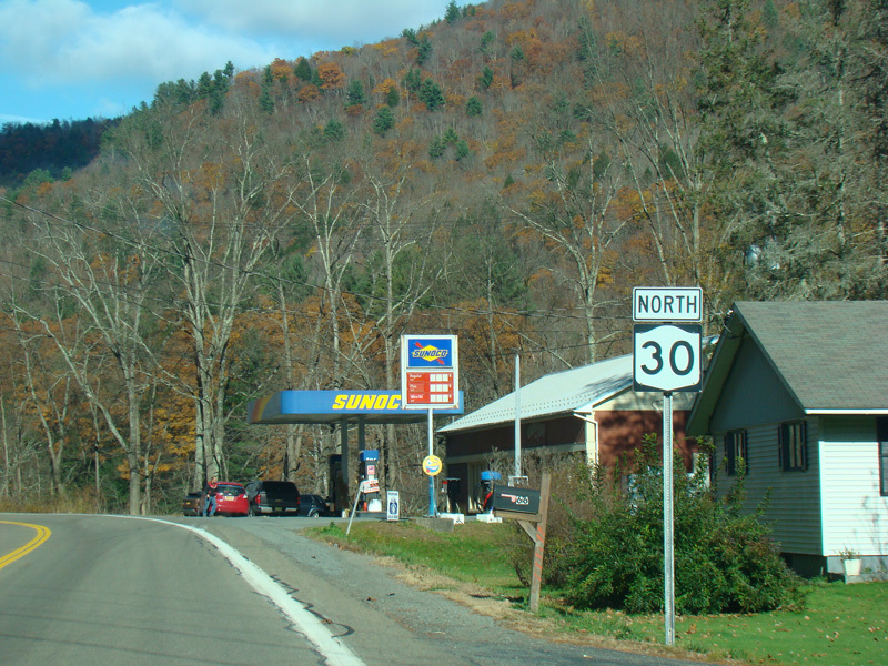
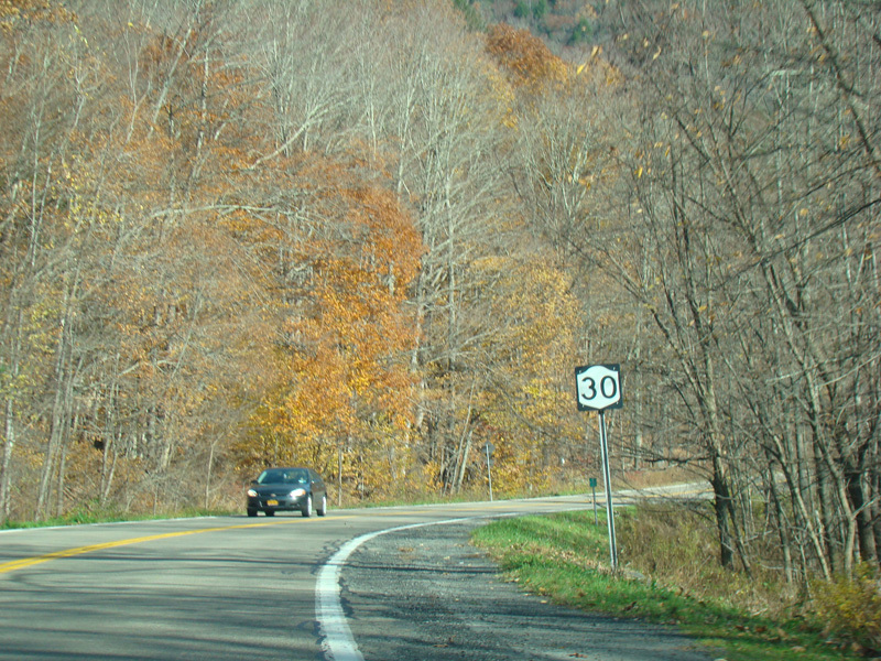

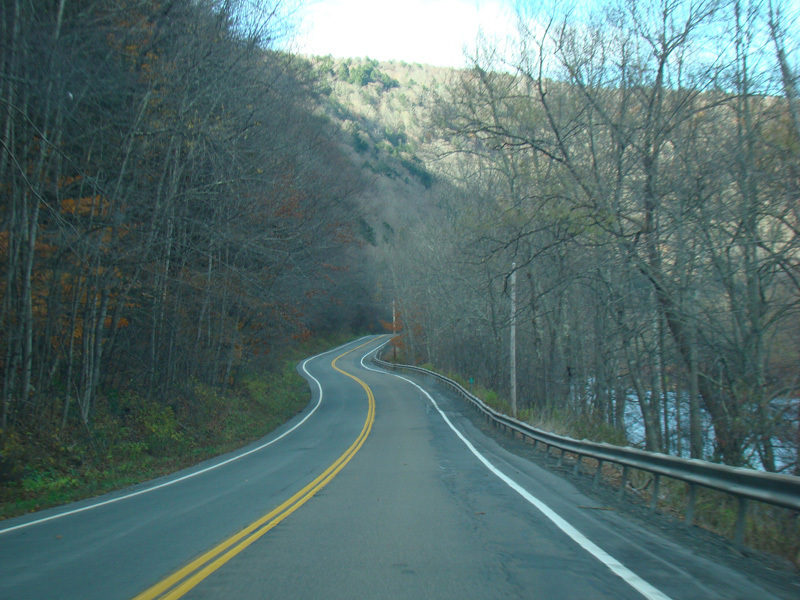
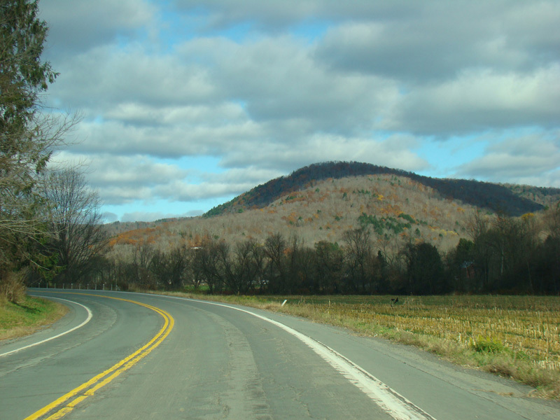
NY 30 begins at the Quickway (NY 17/Future I-86) and Old Route 17 (CR 17) in East Branch. It runs north along the East Branch of the Delaware River as a two-lane undivided road.
Photos taken November 2016.
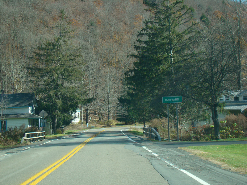
Welcome to Harvard!
Photos taken November 2016.
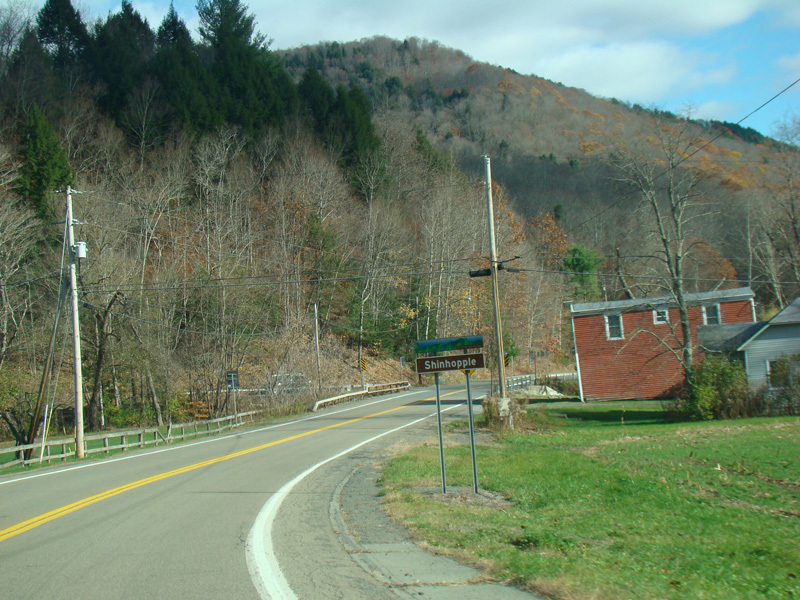
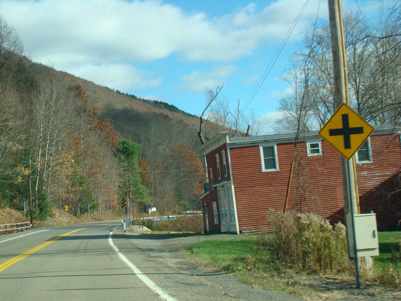

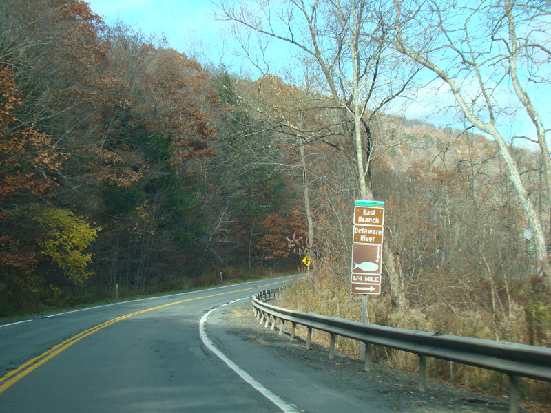
Welcome to Shinhopple! There are special brown signs used inside Catskill State Park.
Photos taken November 2016.
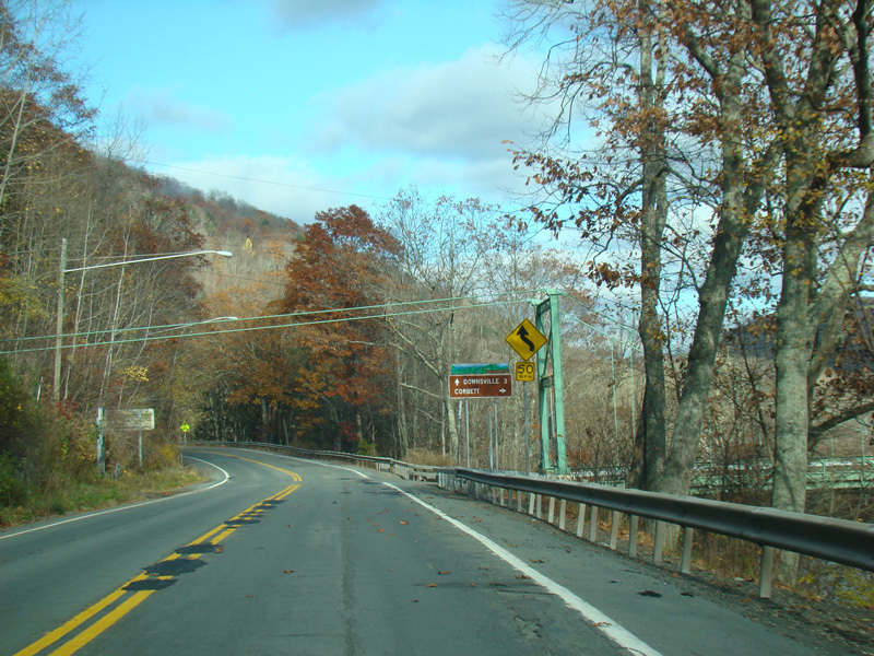
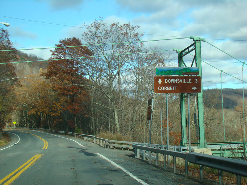
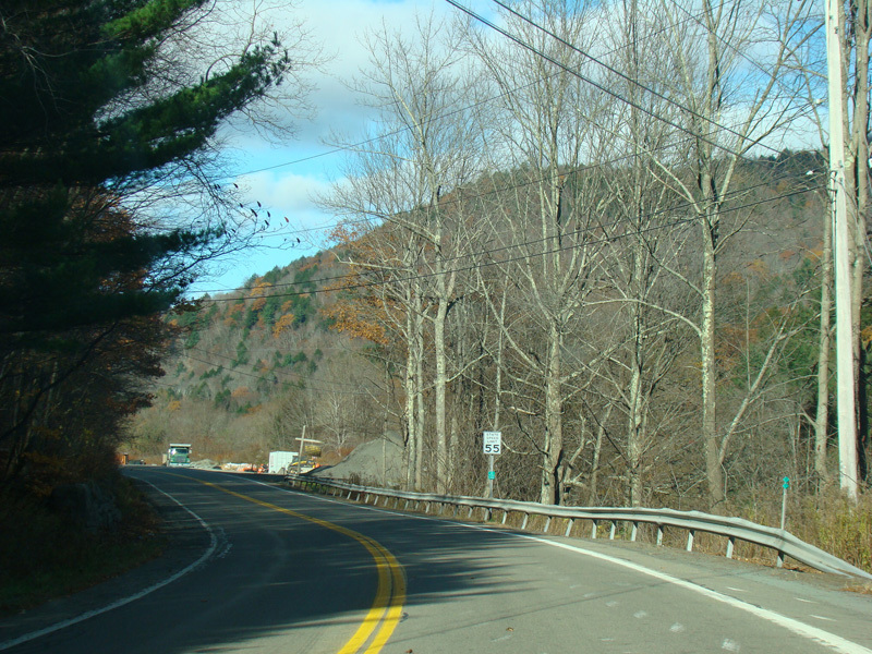
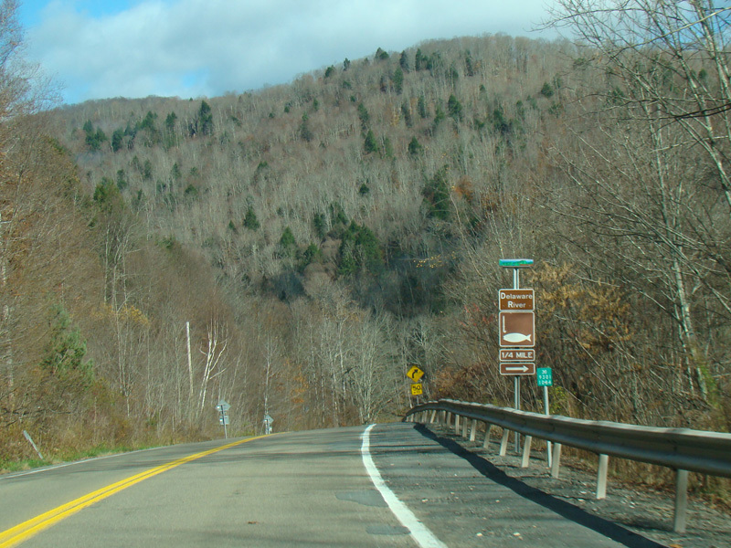
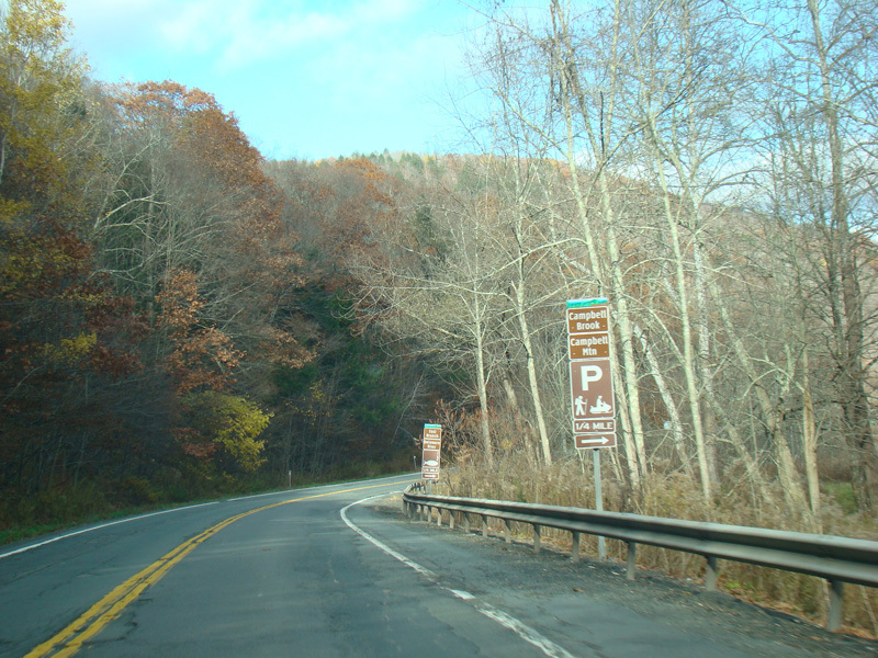
The Corbett Bridge, a one-lane suspension bridge over the East Branch of the Delaware River, is on the right here.
Photos taken November 2016.
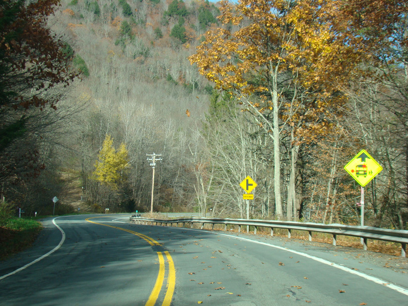

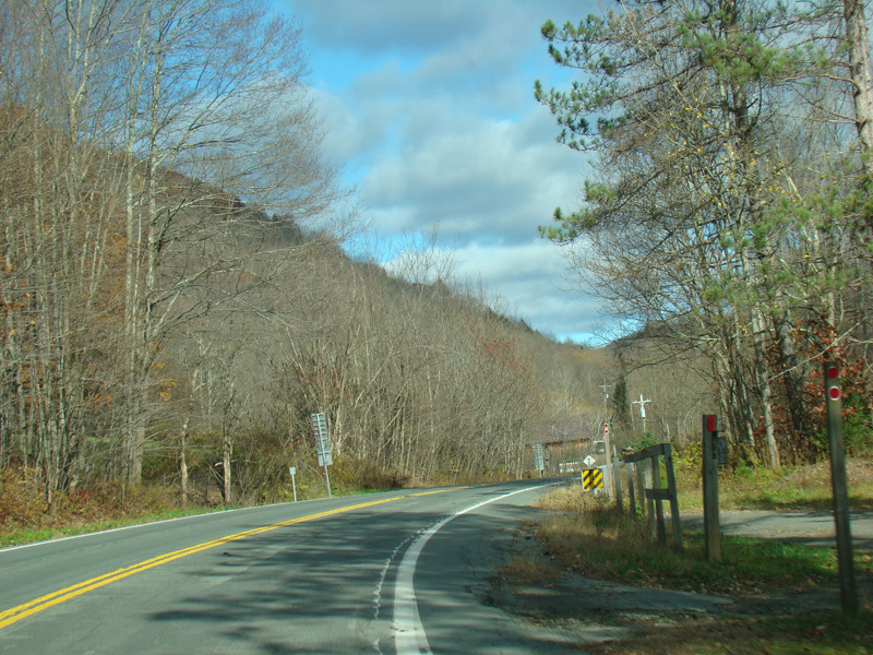
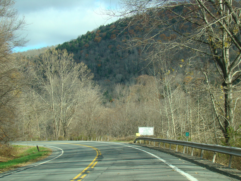
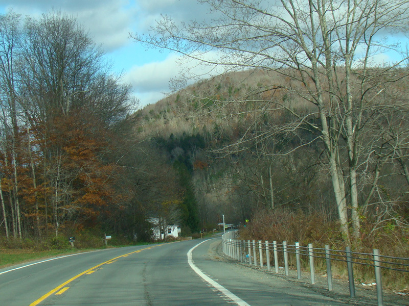
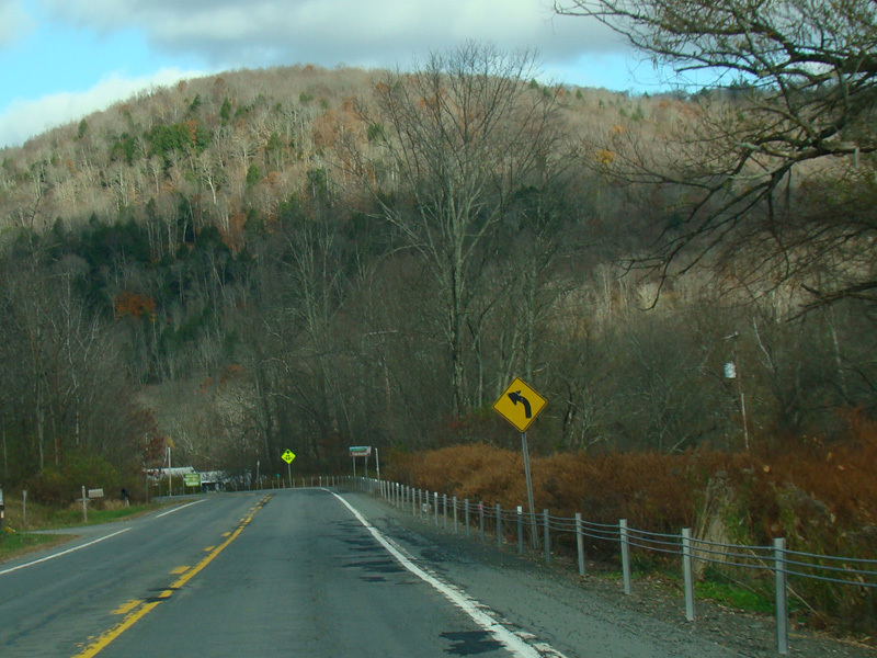
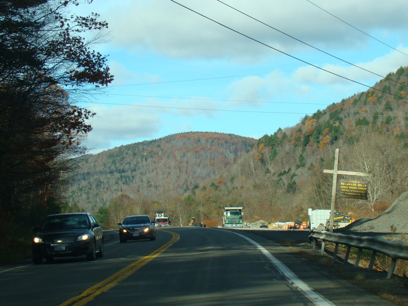
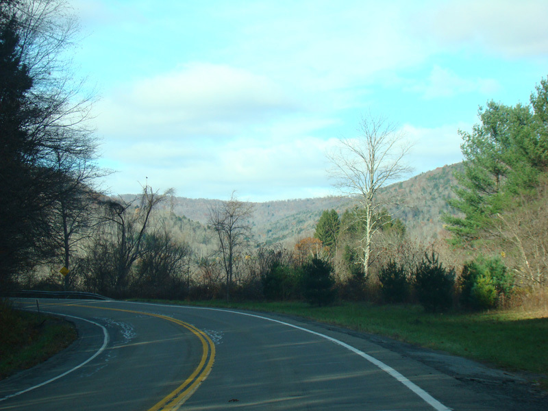
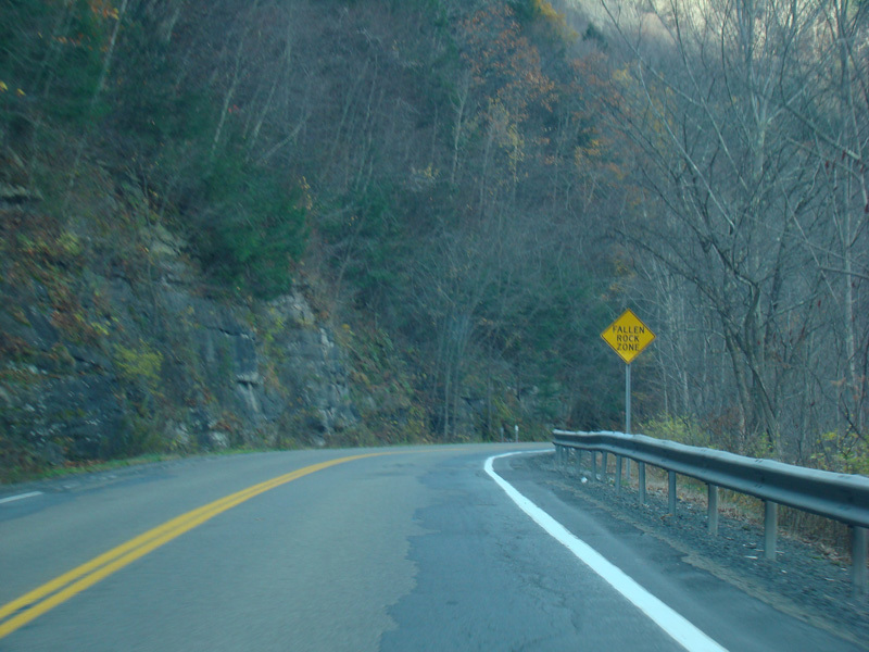
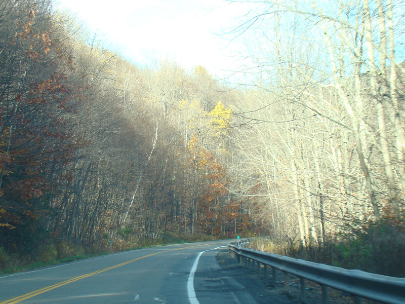
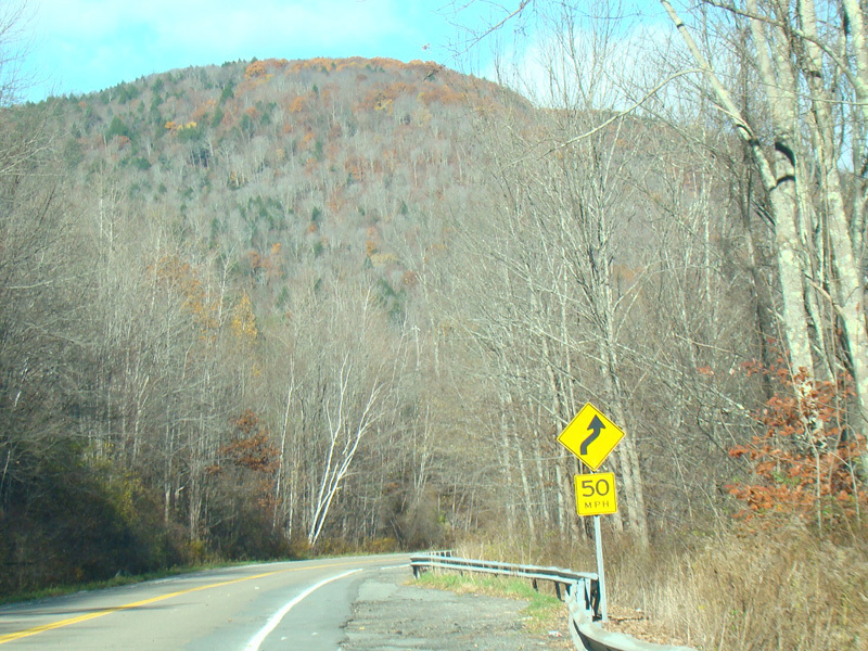
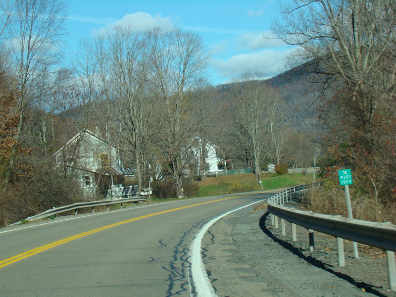
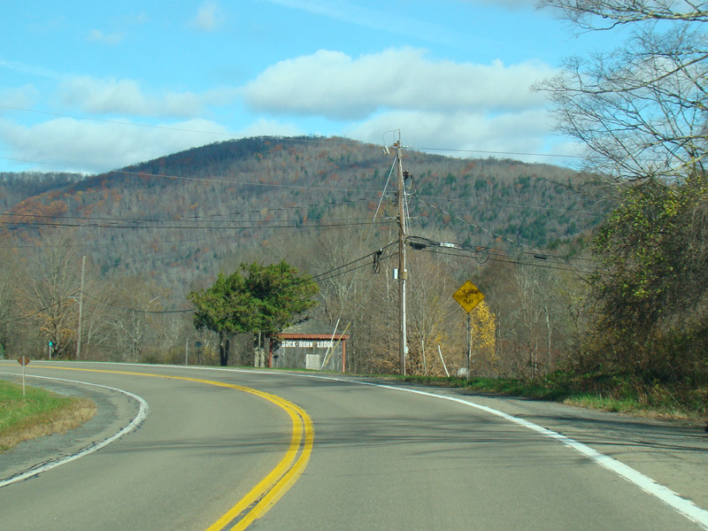
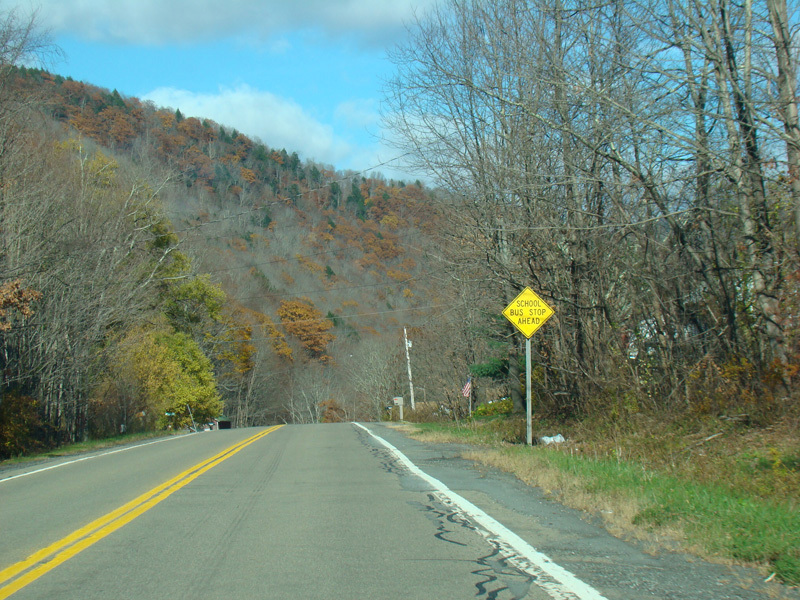
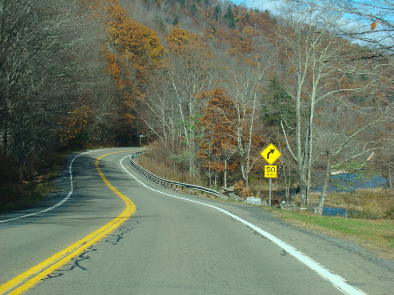
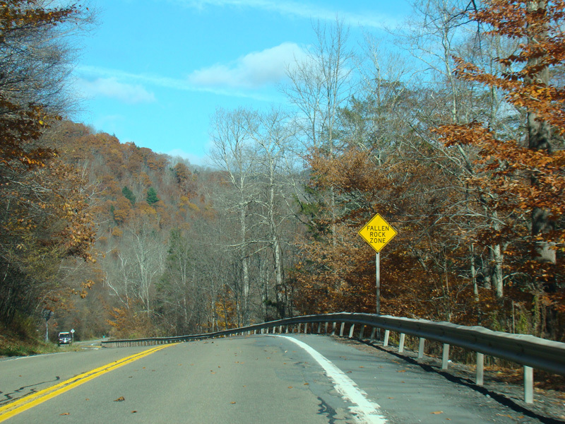
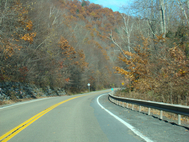
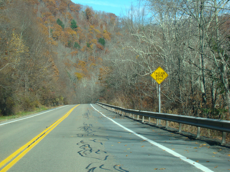
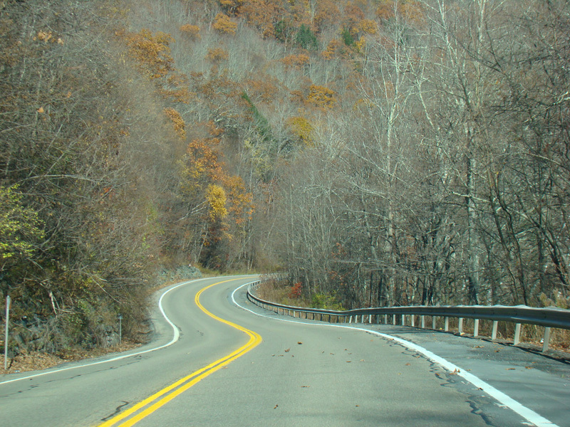
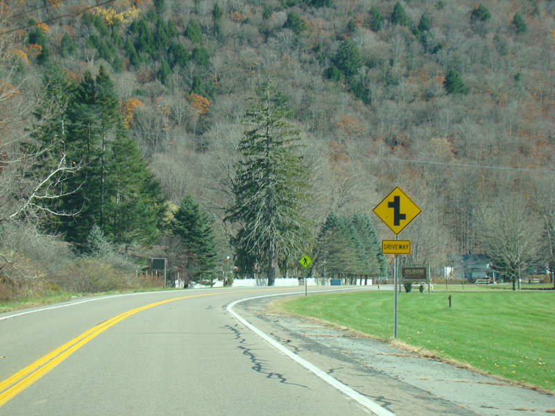
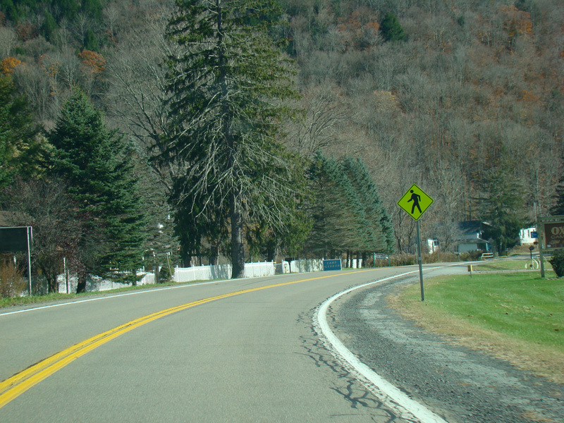
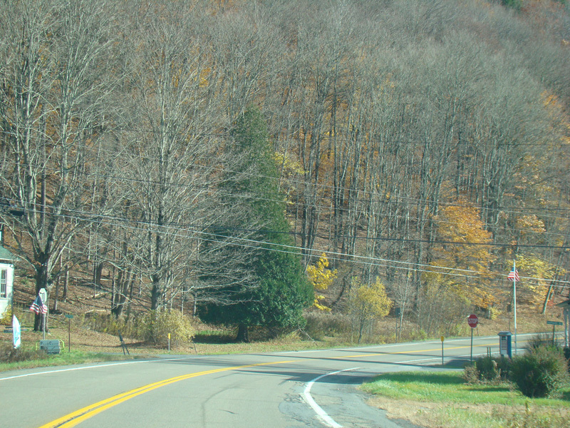
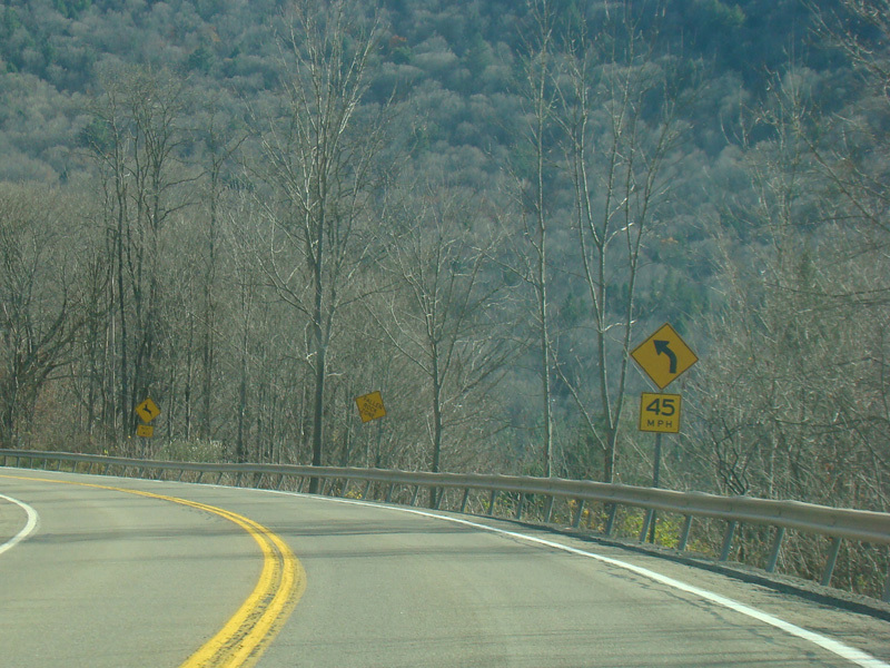
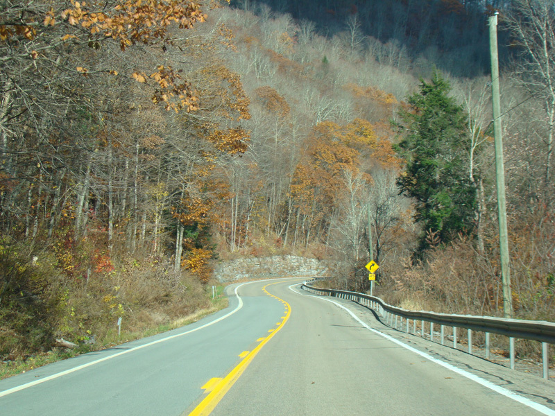
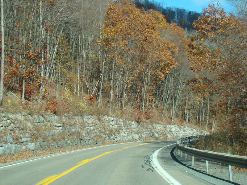
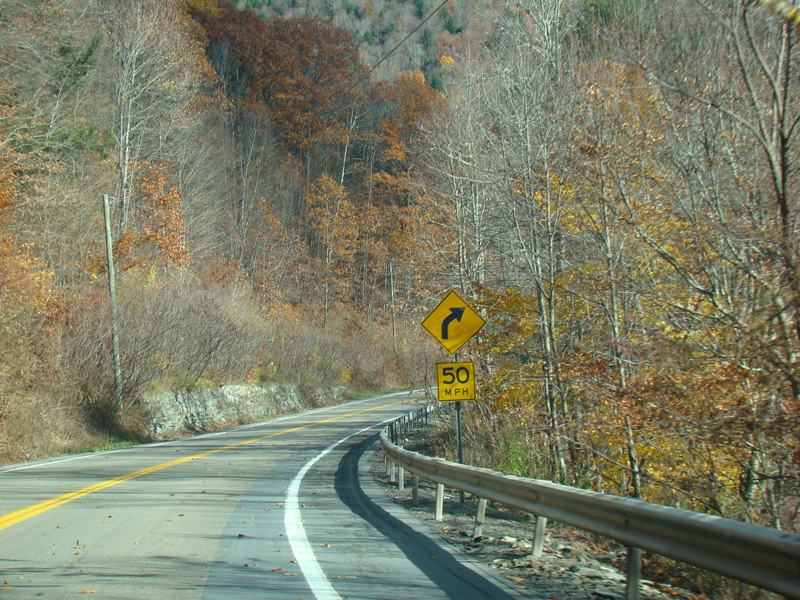
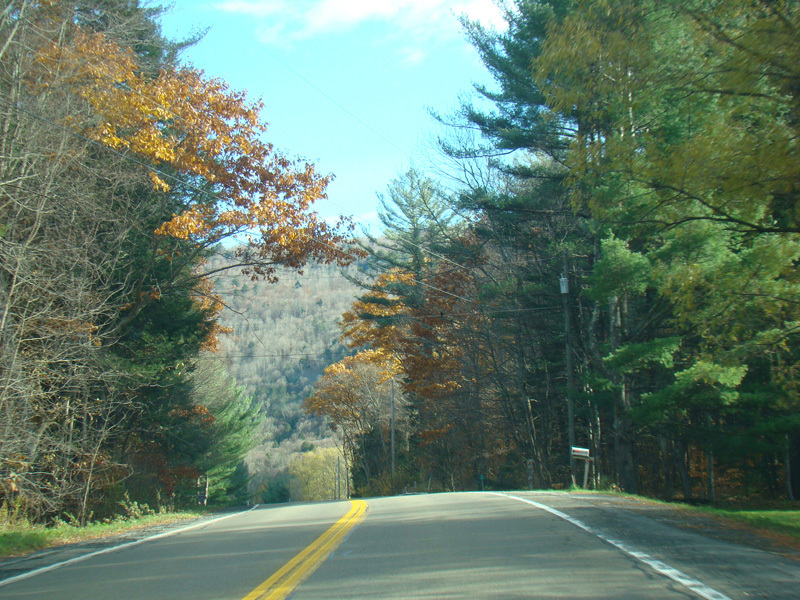
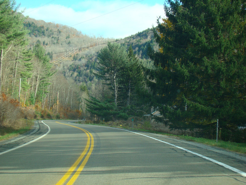
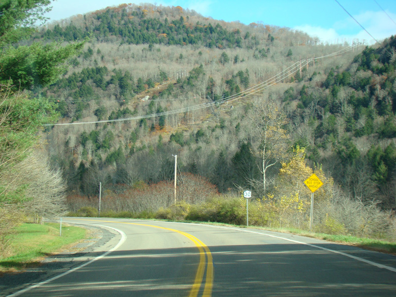
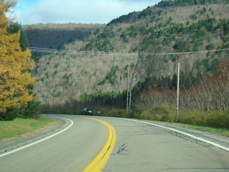
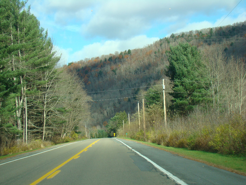
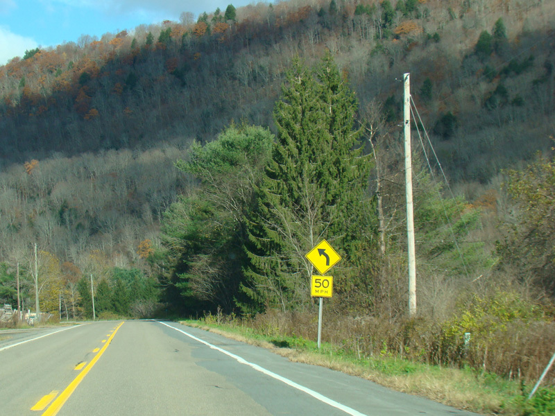
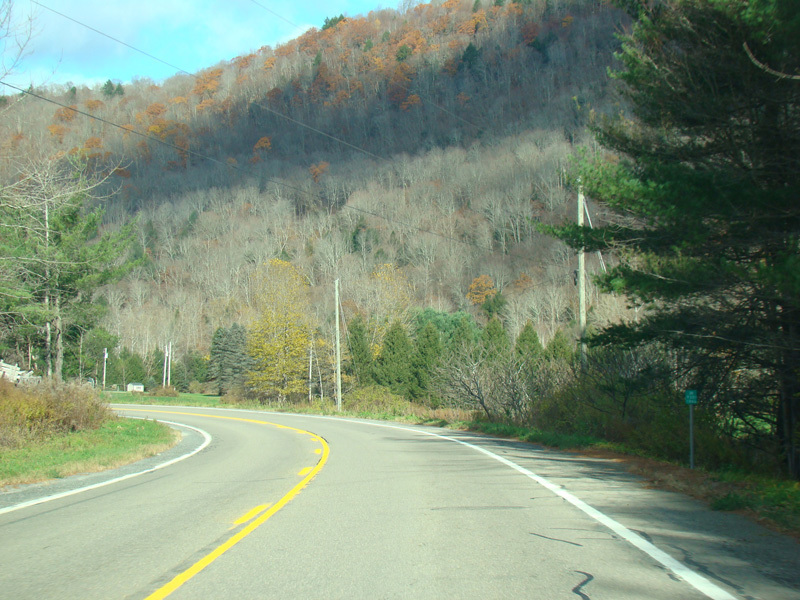
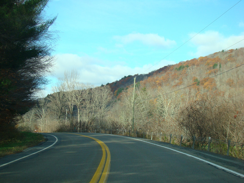
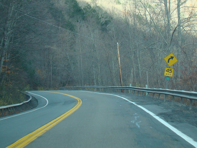
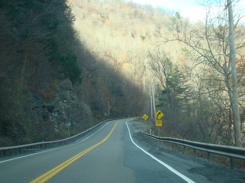
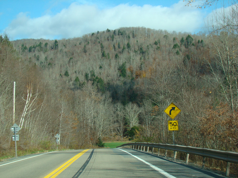
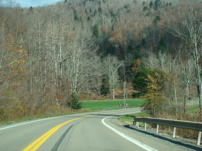
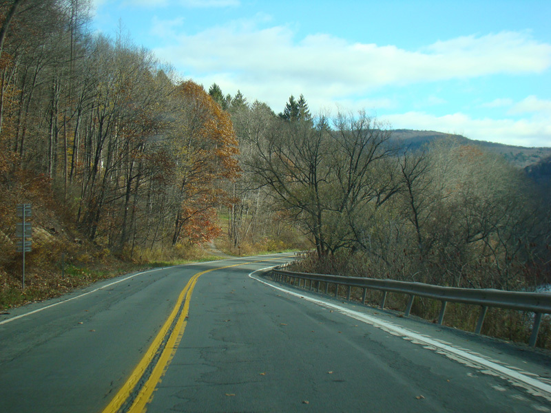
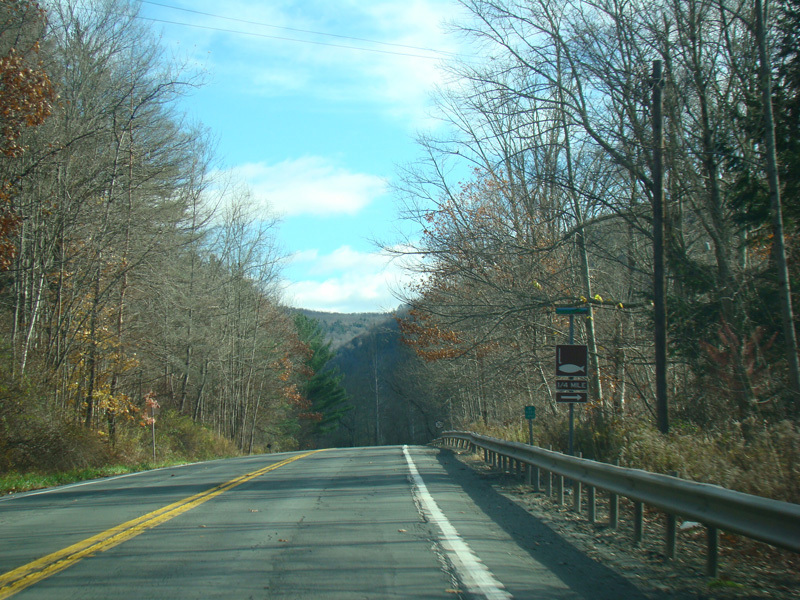
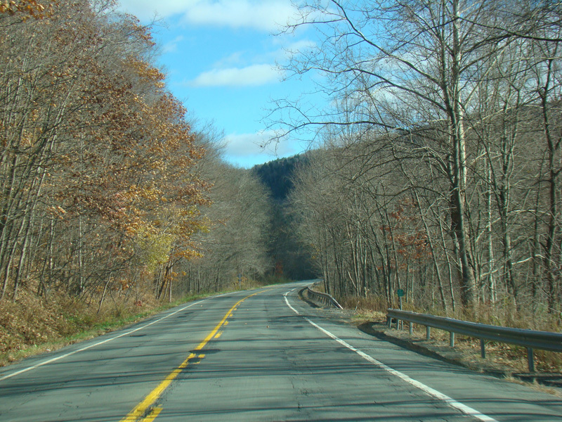
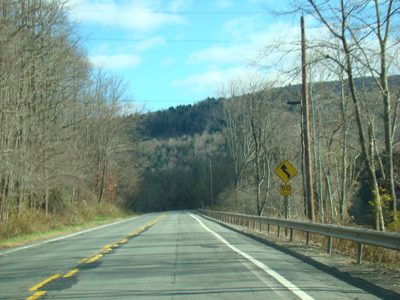
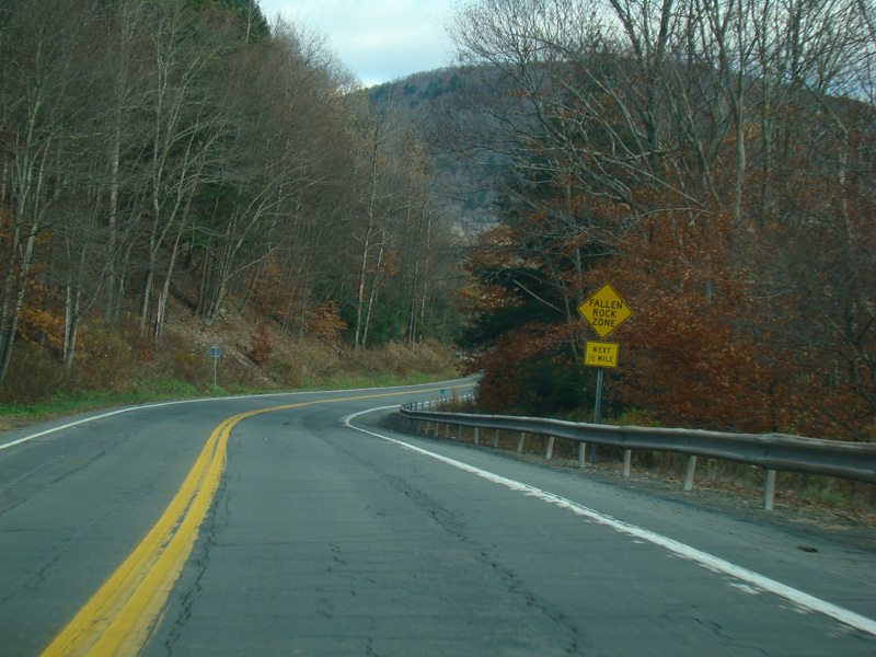
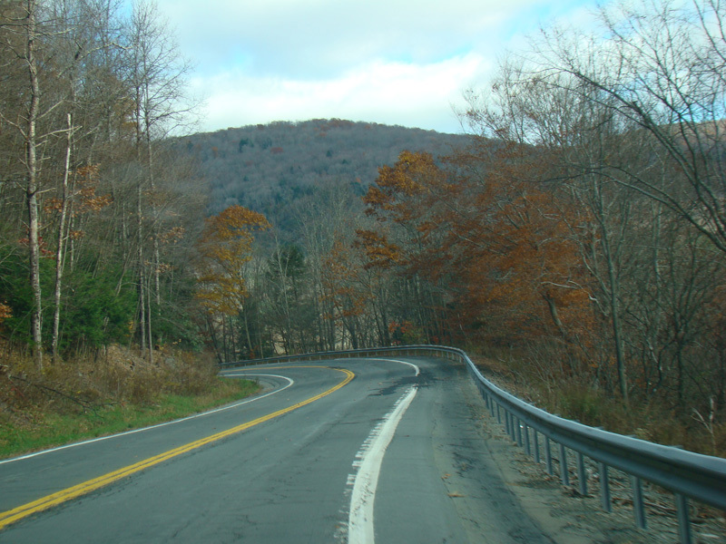
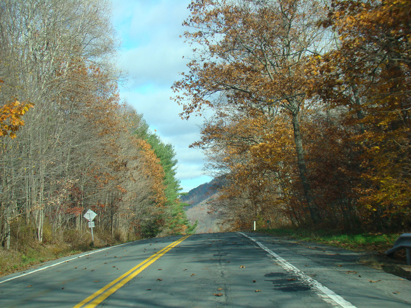
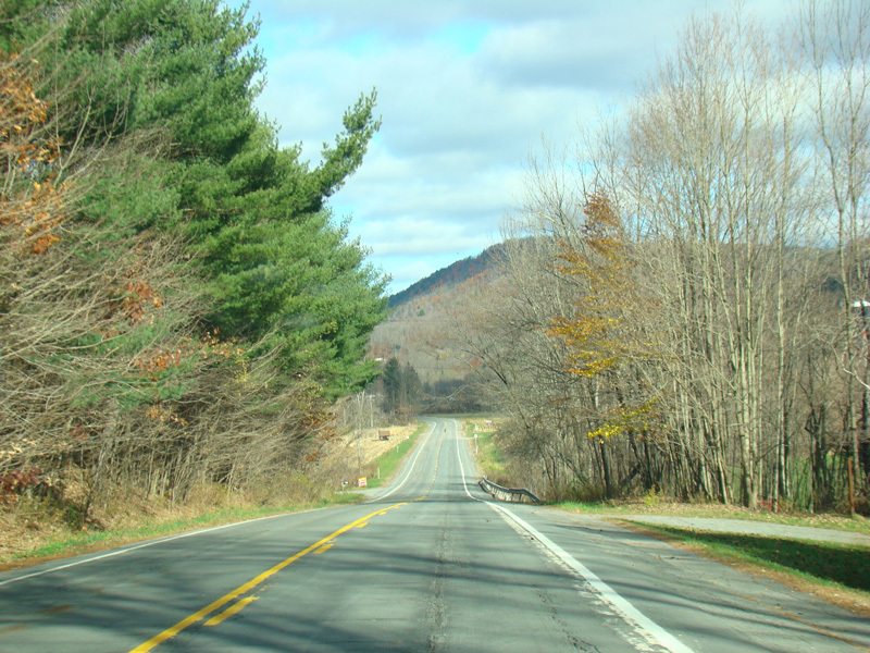
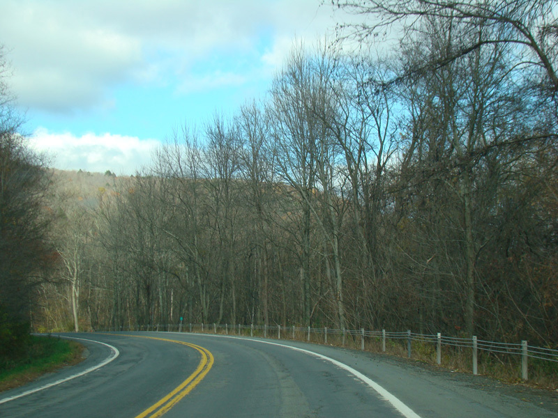
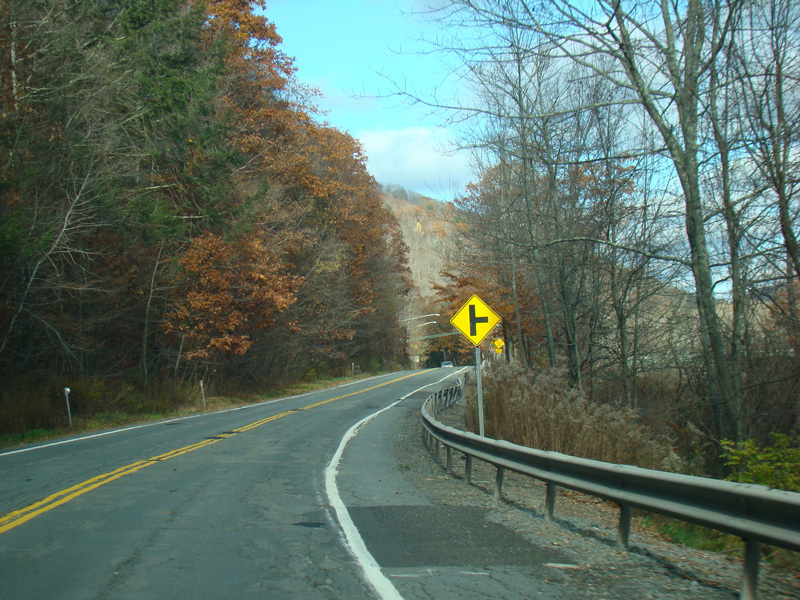
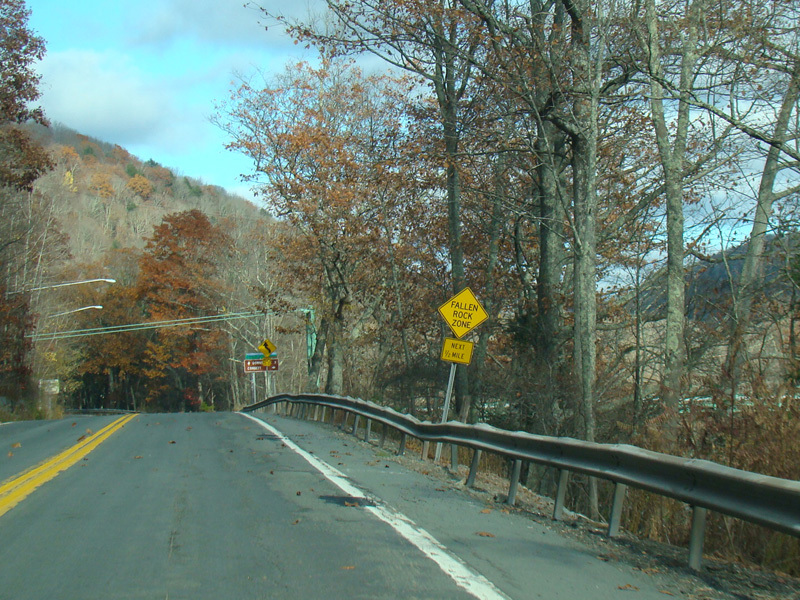
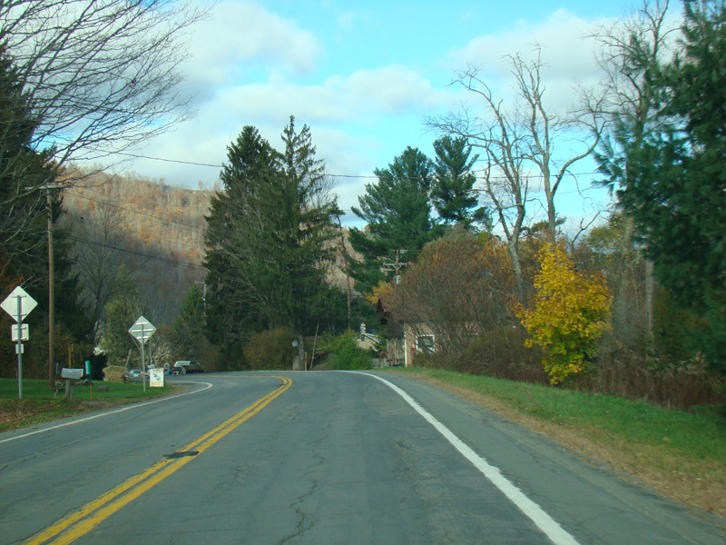
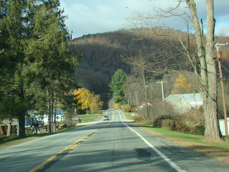
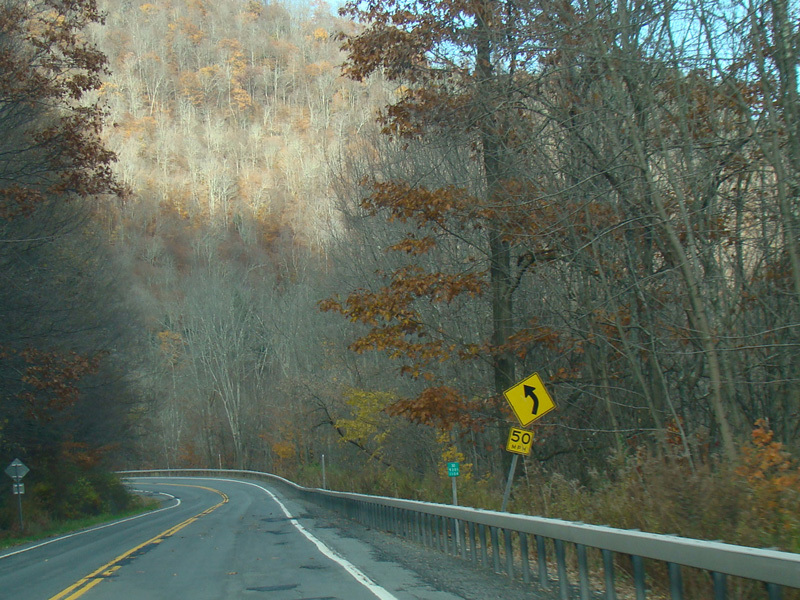
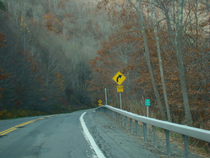
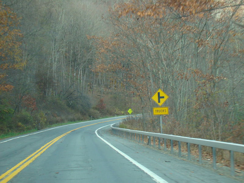
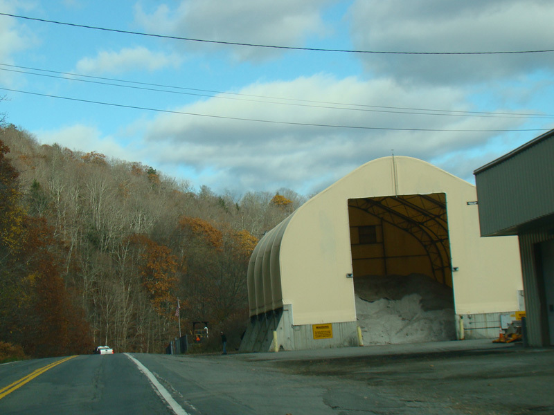
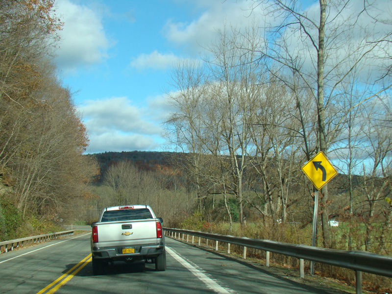
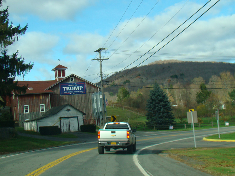
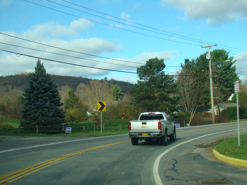
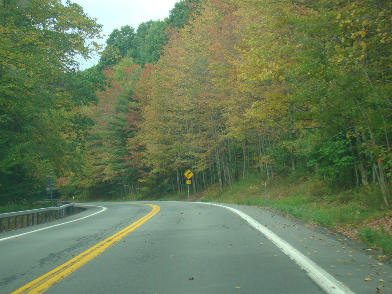
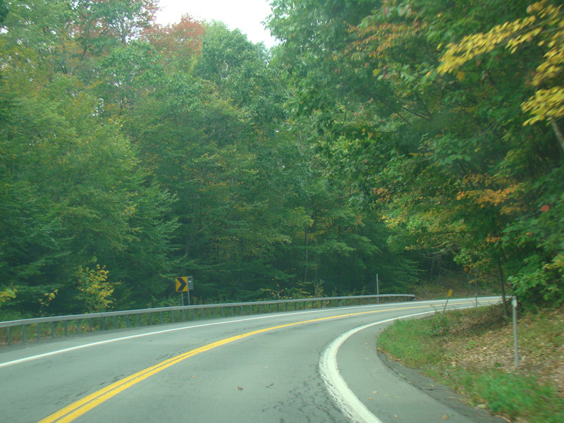
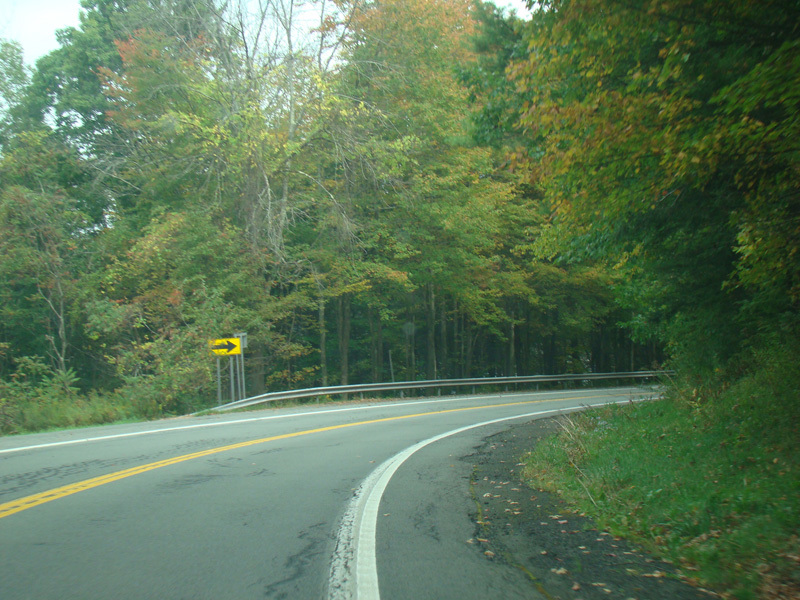
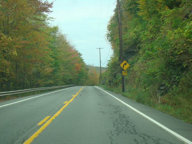
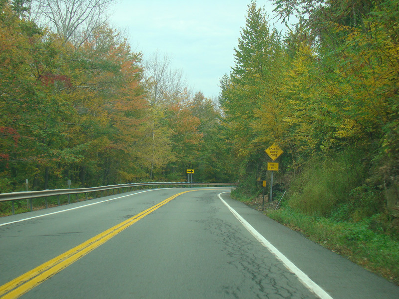
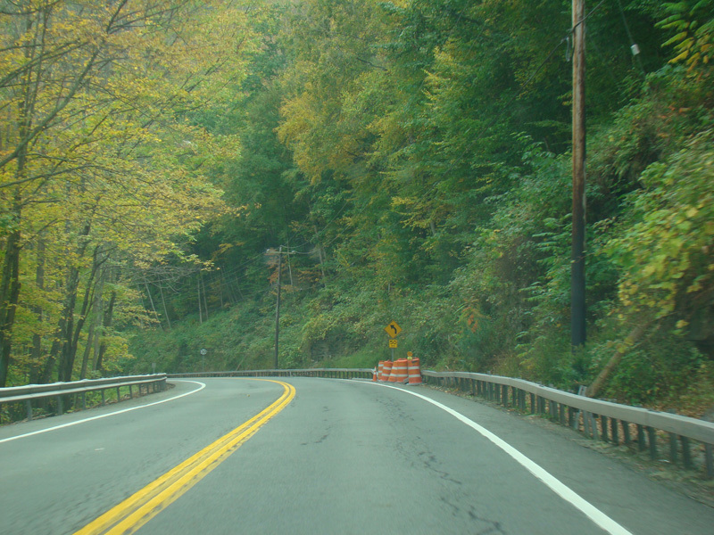
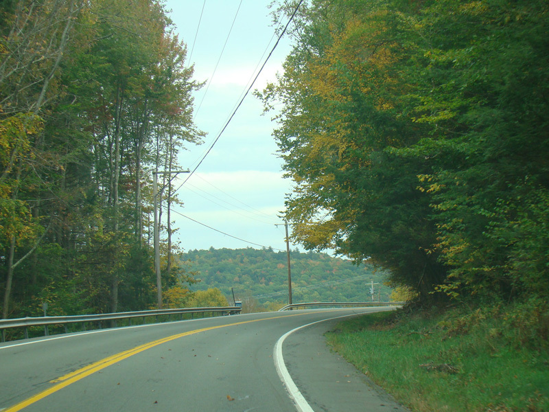
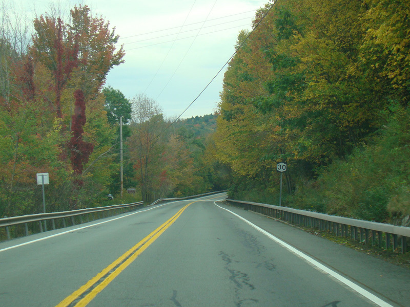
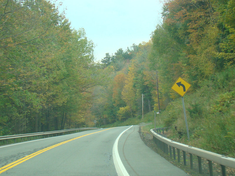
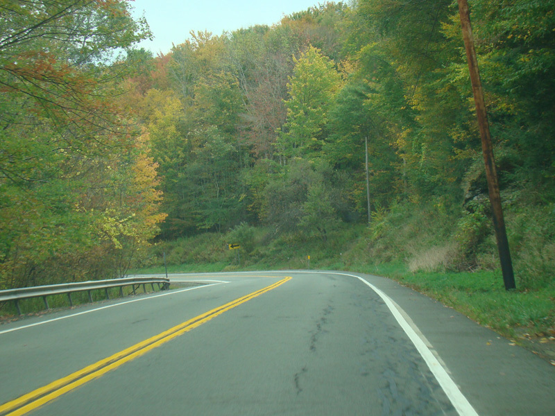
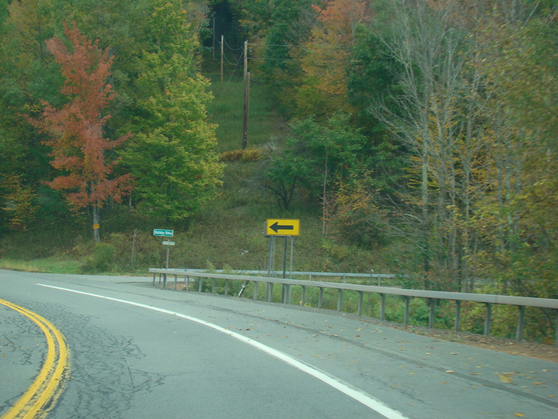
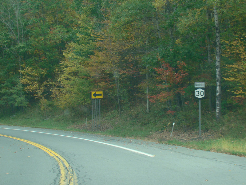
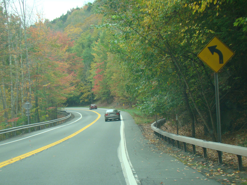
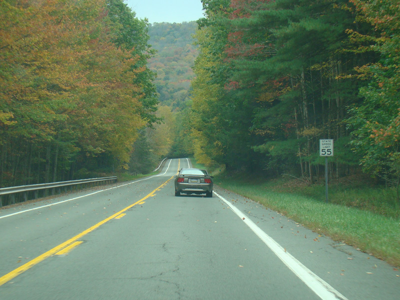
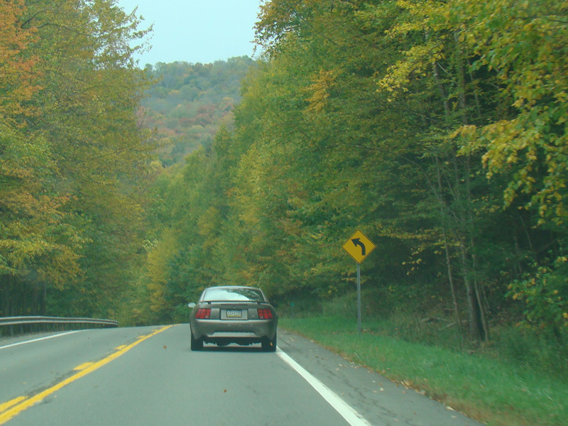
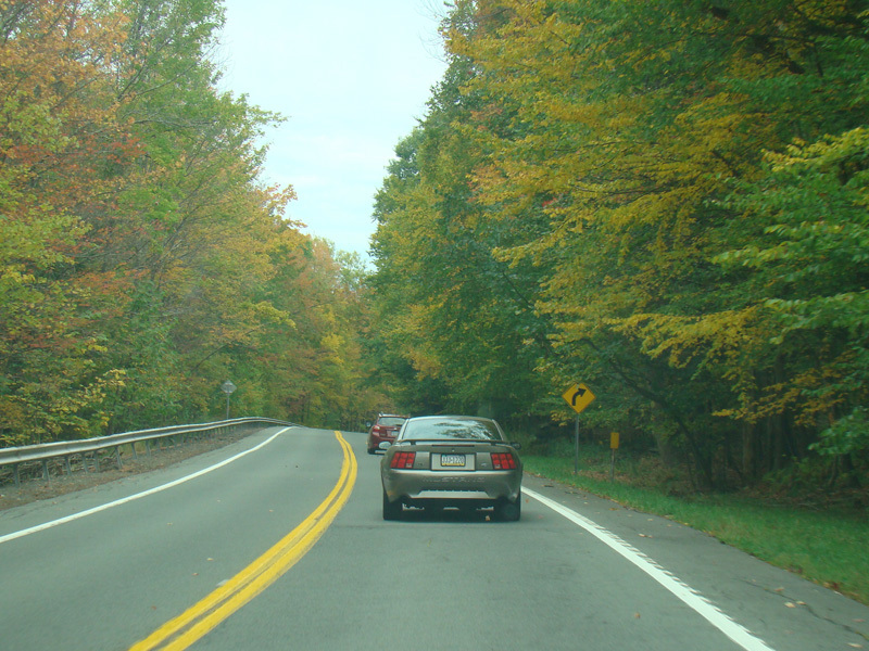
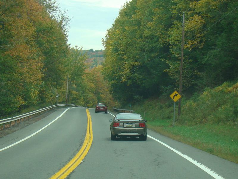
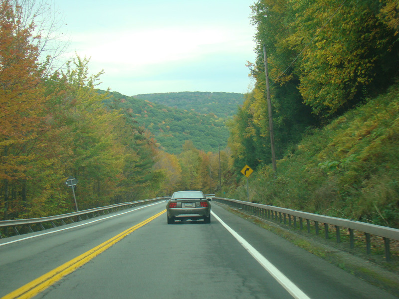
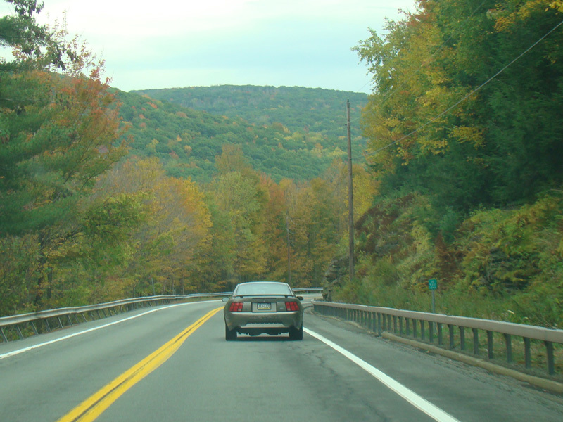
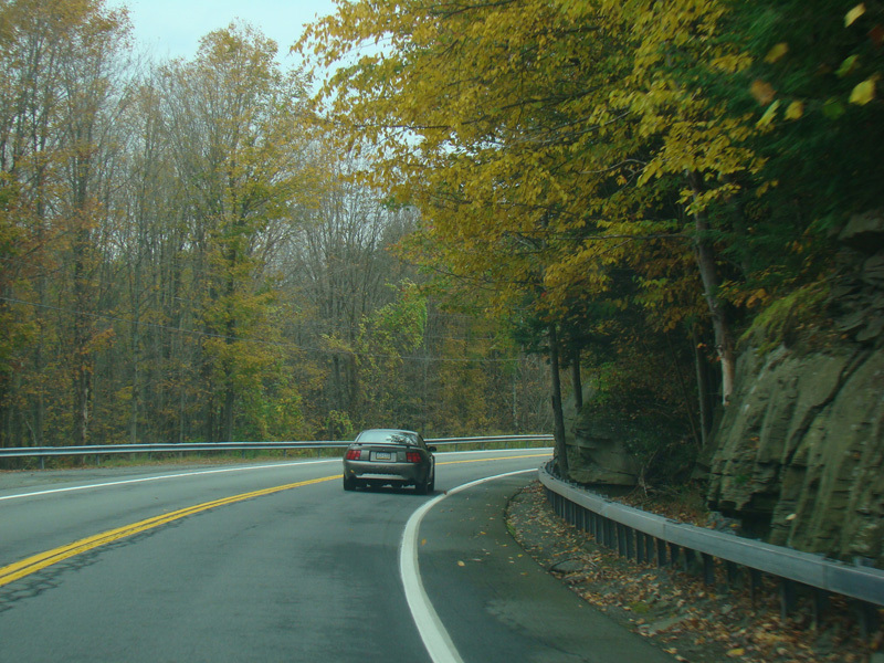
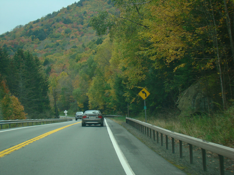
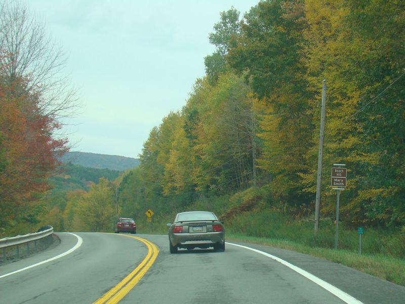
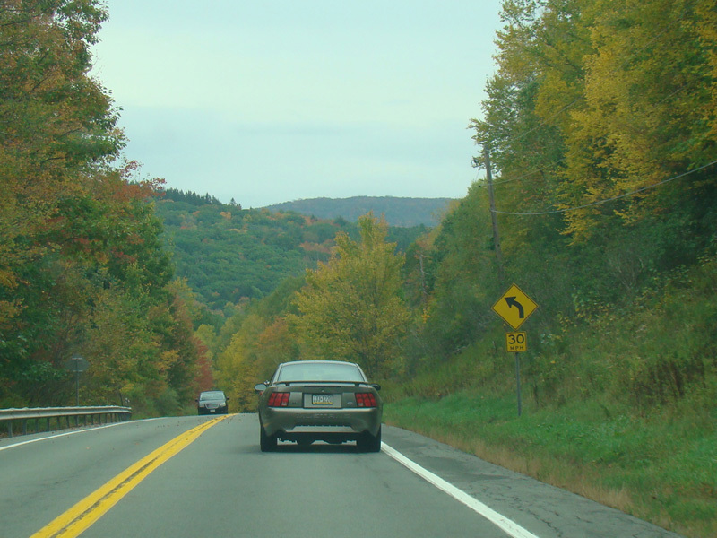
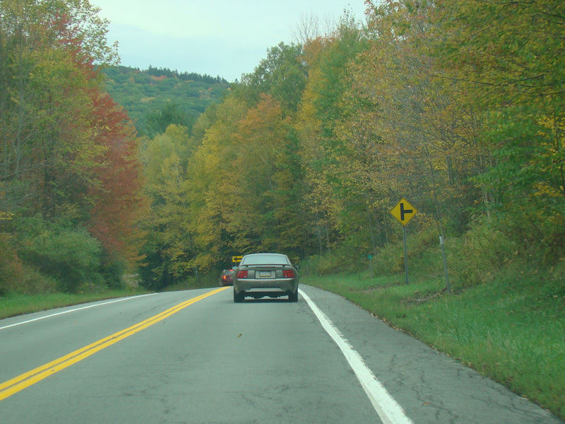
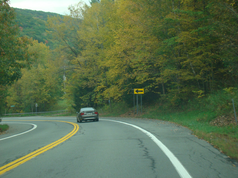
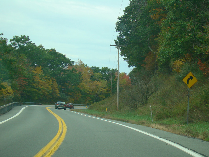
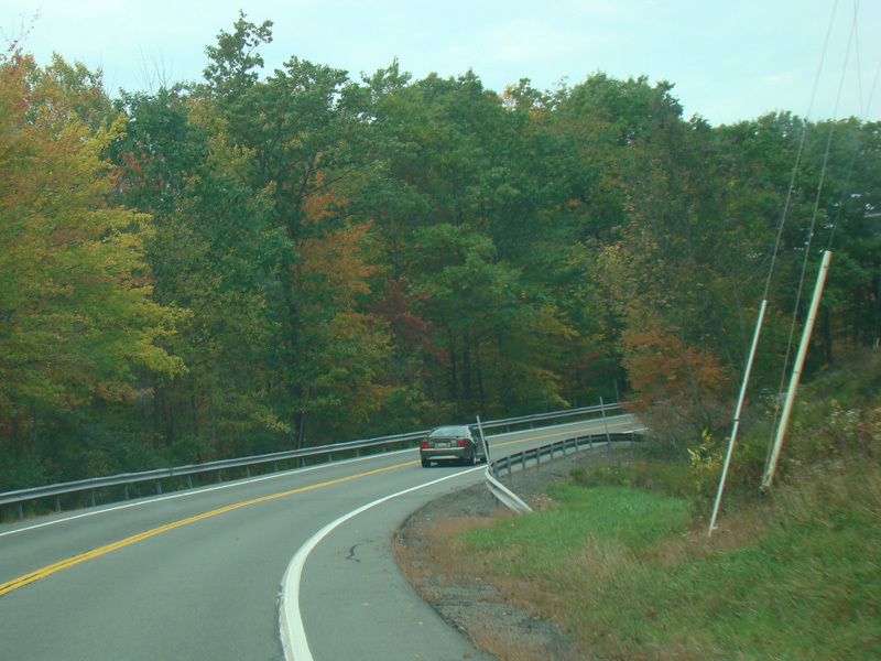
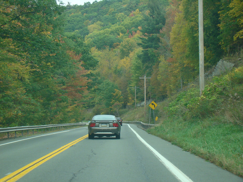
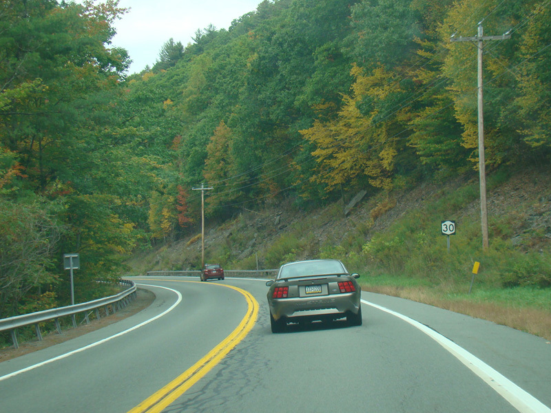
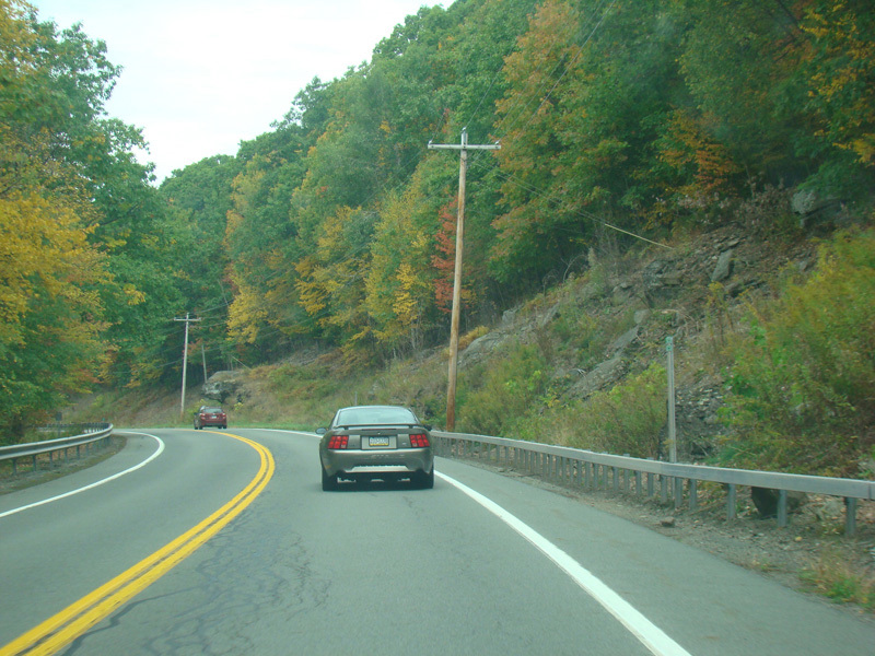
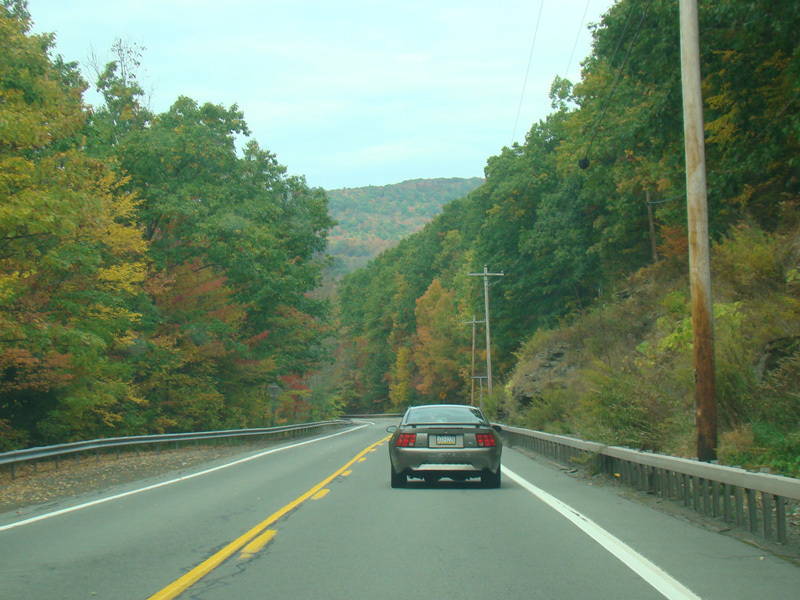
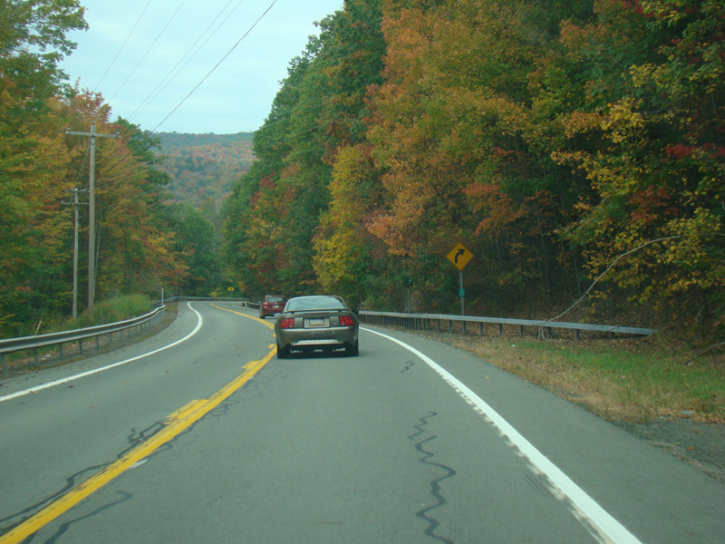
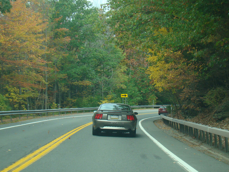
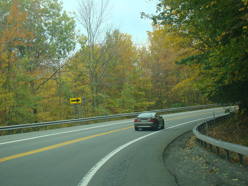
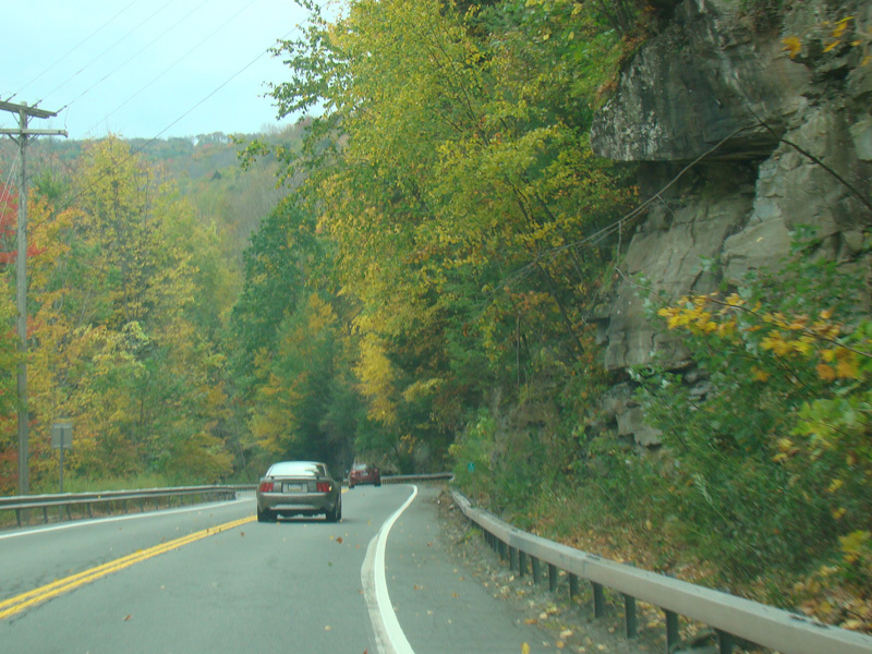
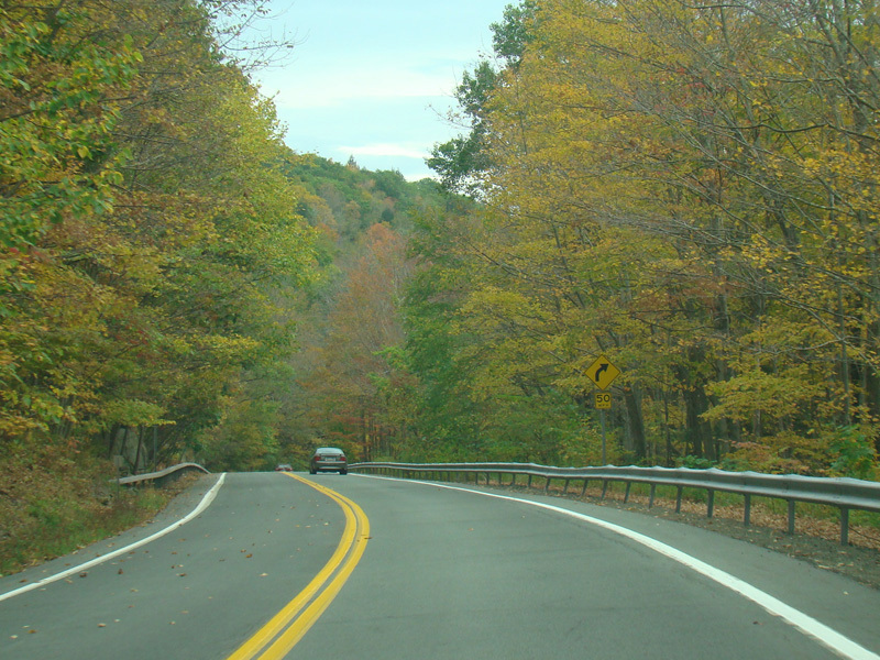
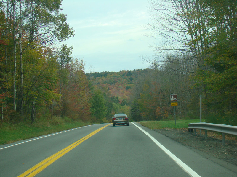
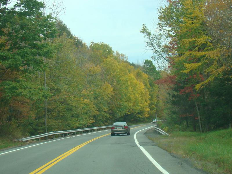
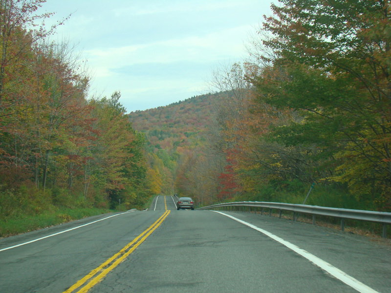
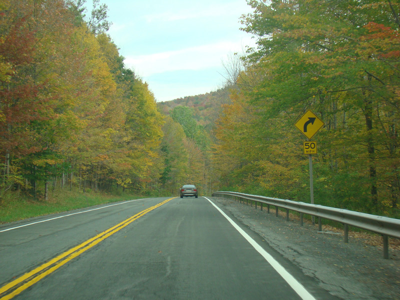
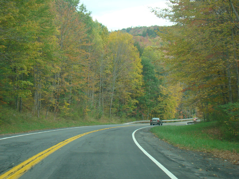
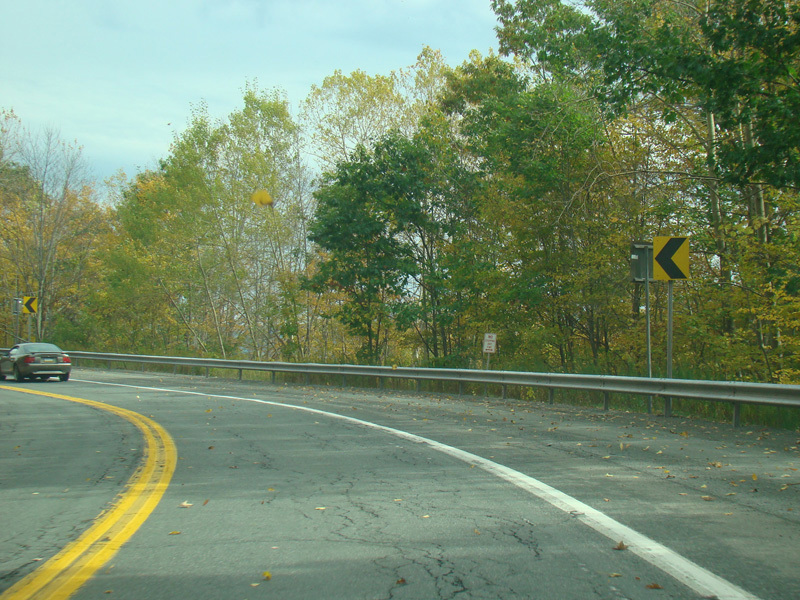
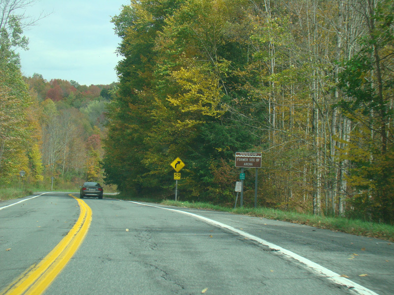
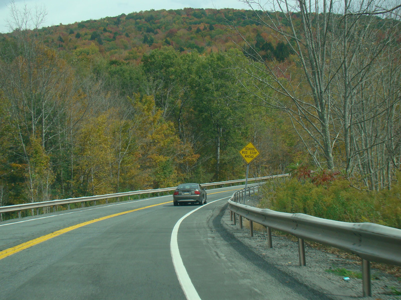
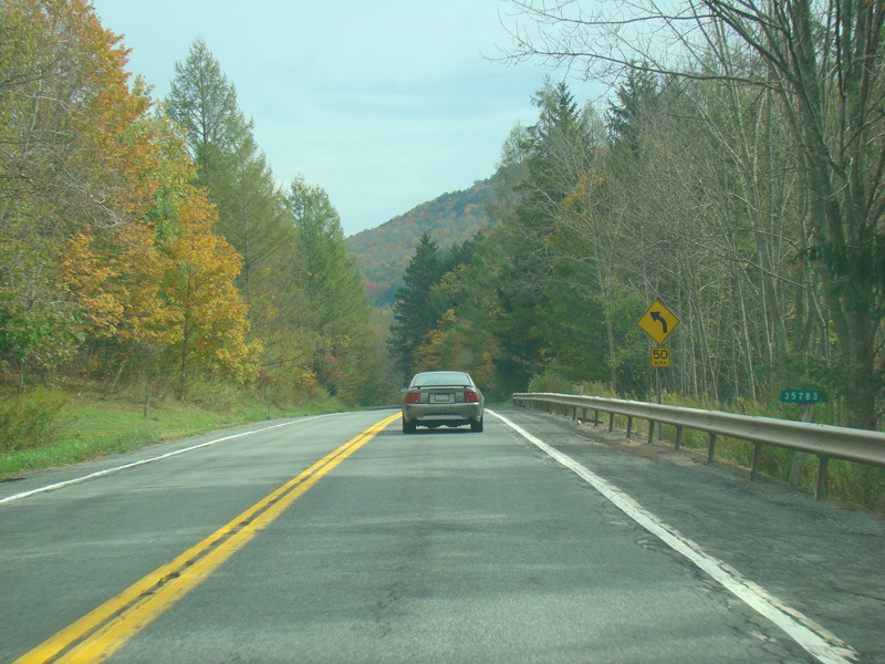
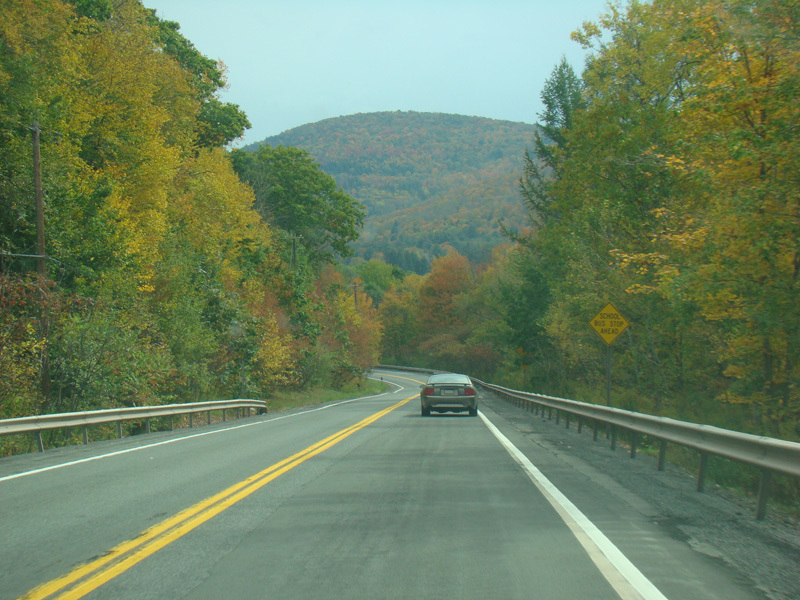
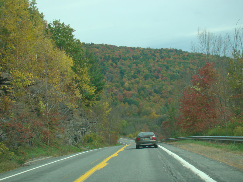
NY 30 continues to wind its way through the mountains.
Photos taken November 2016.
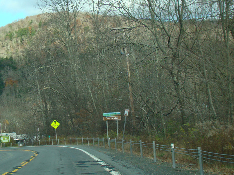
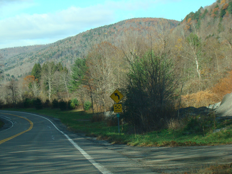
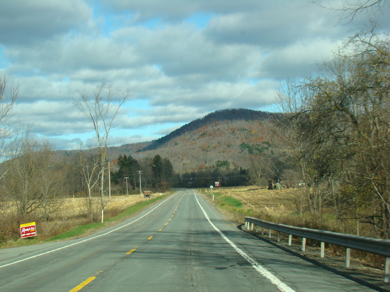
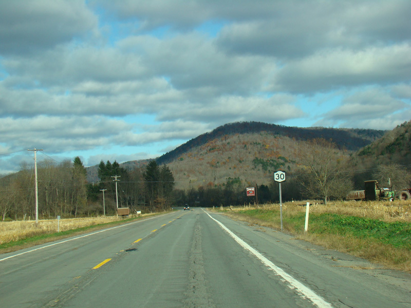
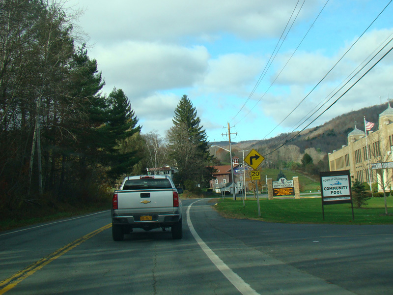
Welcome to Colchester!
Photos taken November 2016.
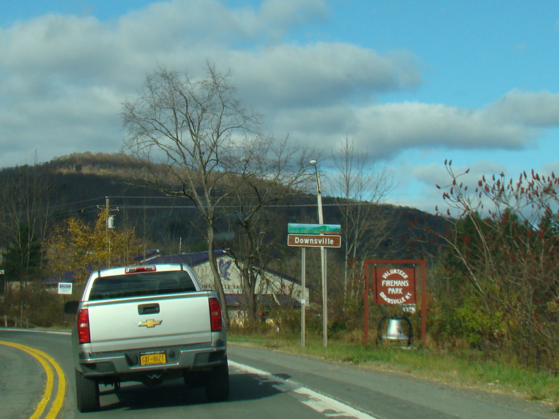
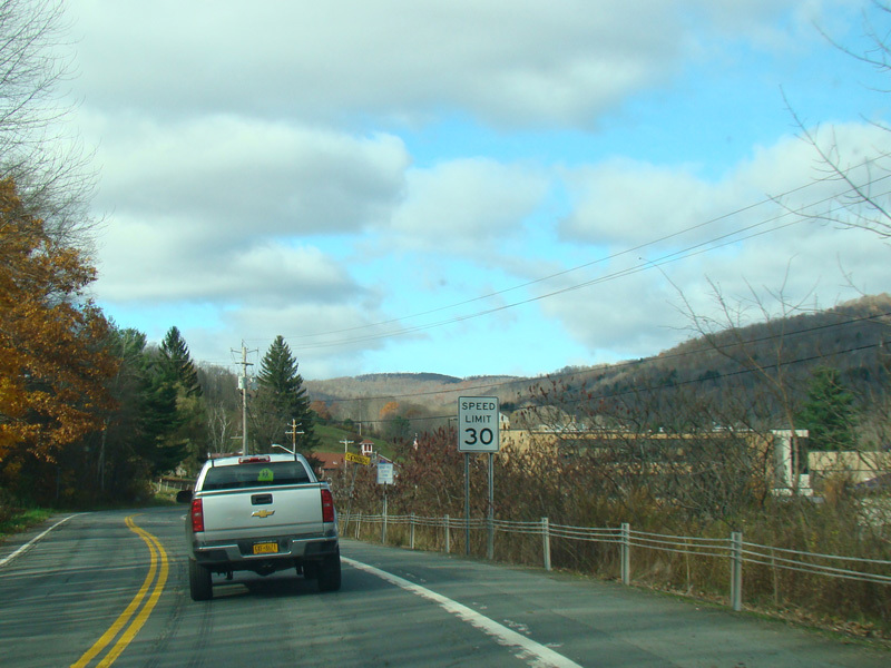
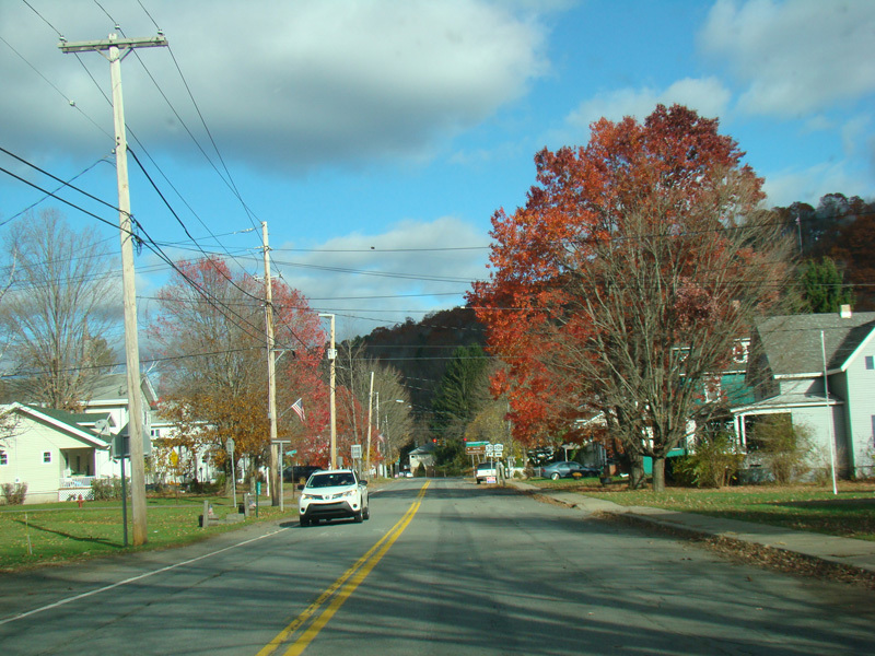
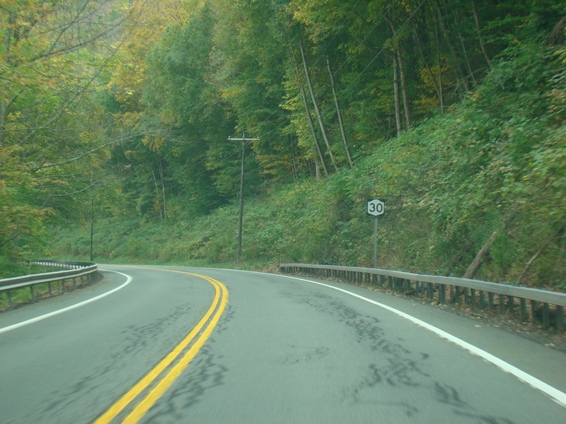
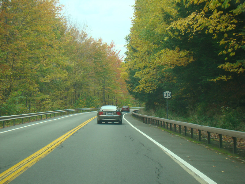
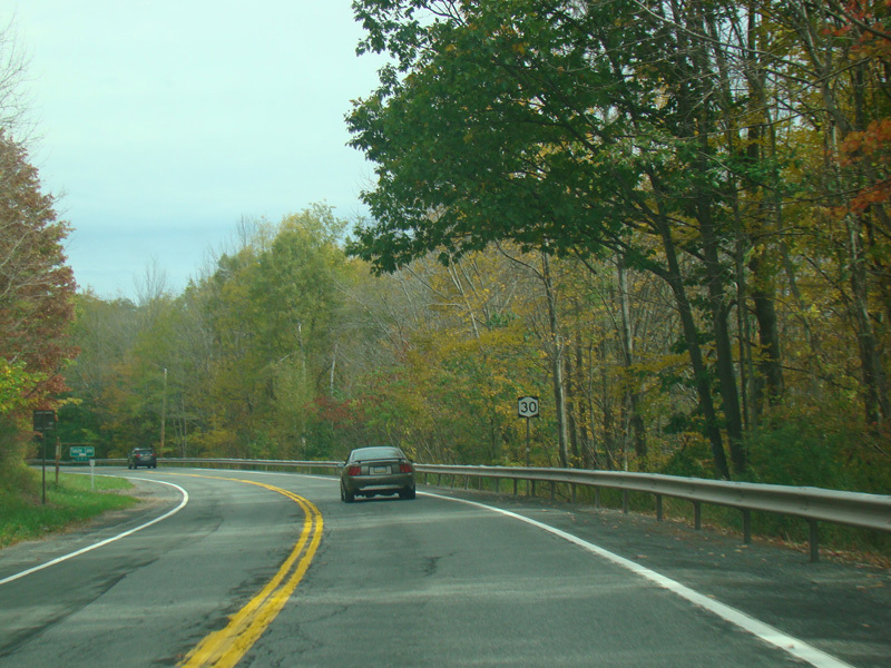
Welcome to Downsville! The speed limit drops to 30 MPH.
Photos taken November 2016.
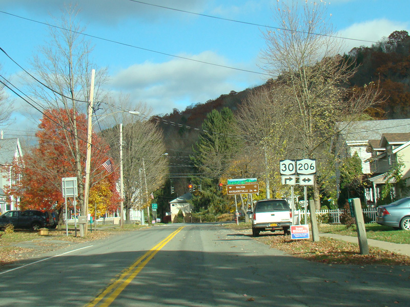
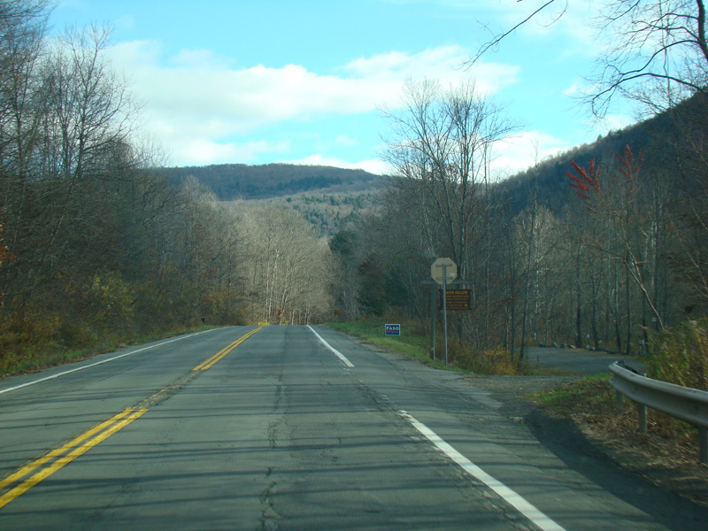
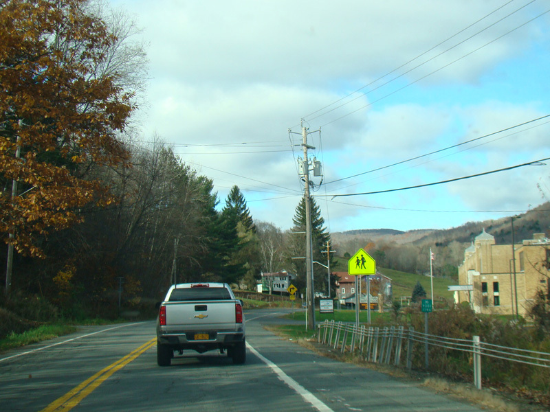
There is a traffic light at NY 206. Turn right to go east and to stay on NY 30. Turn left to go west.
Photos taken November 2016.
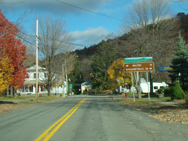
NY 30 is multiplexed with NY 206 for about two miles to the east. Then, the two routes split.

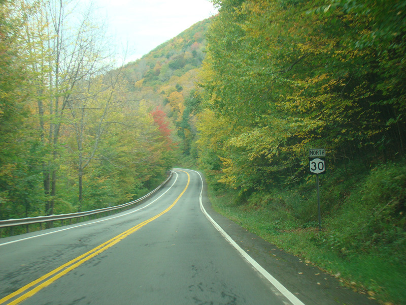
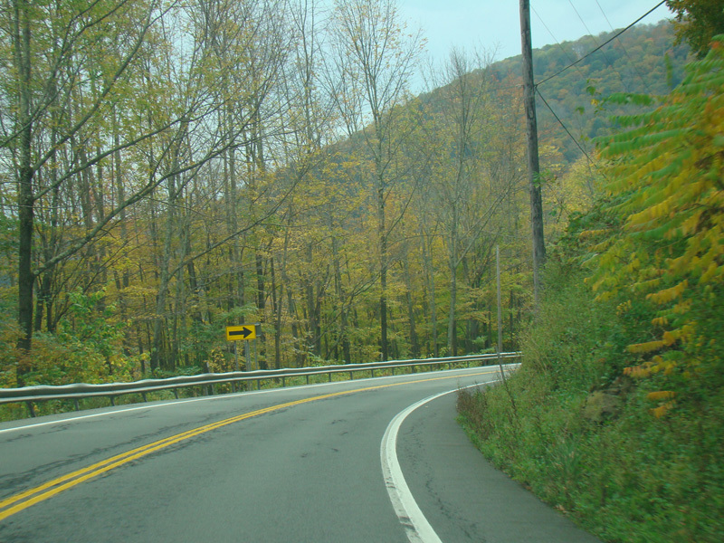
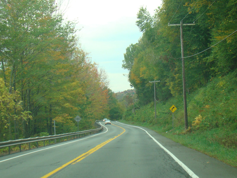
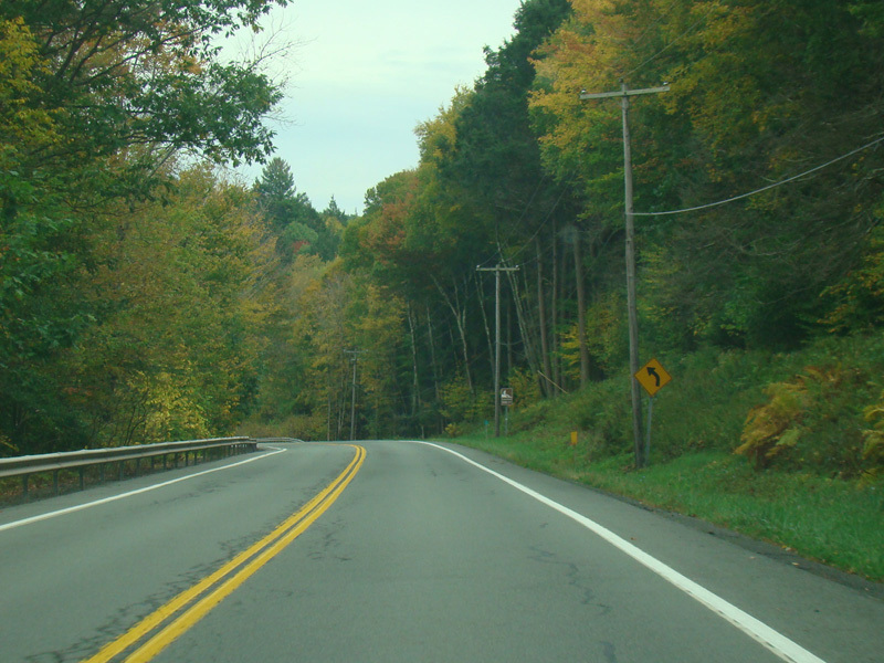
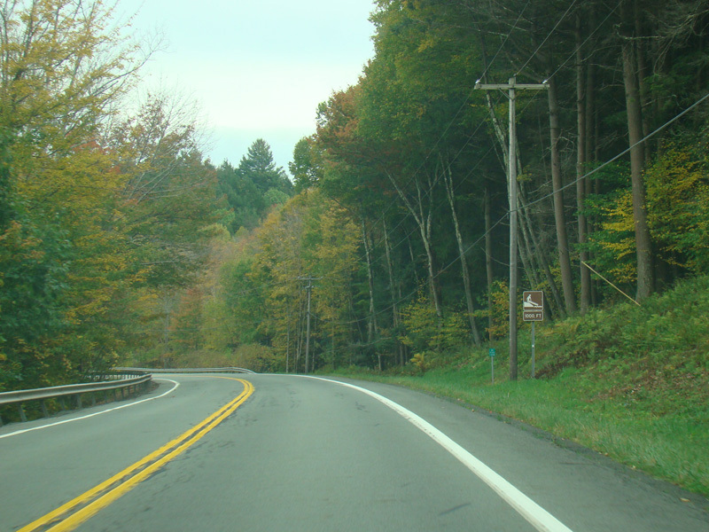
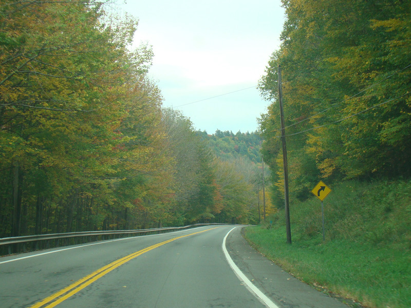
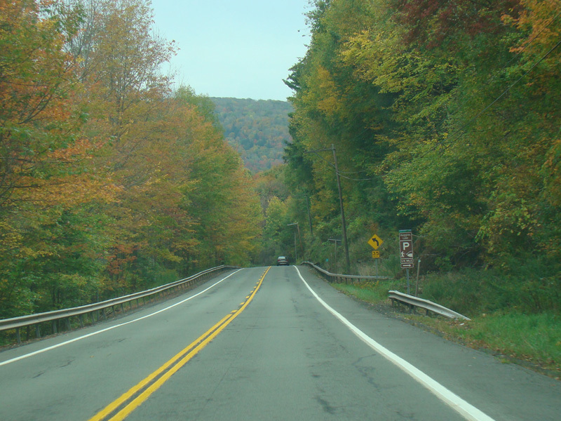
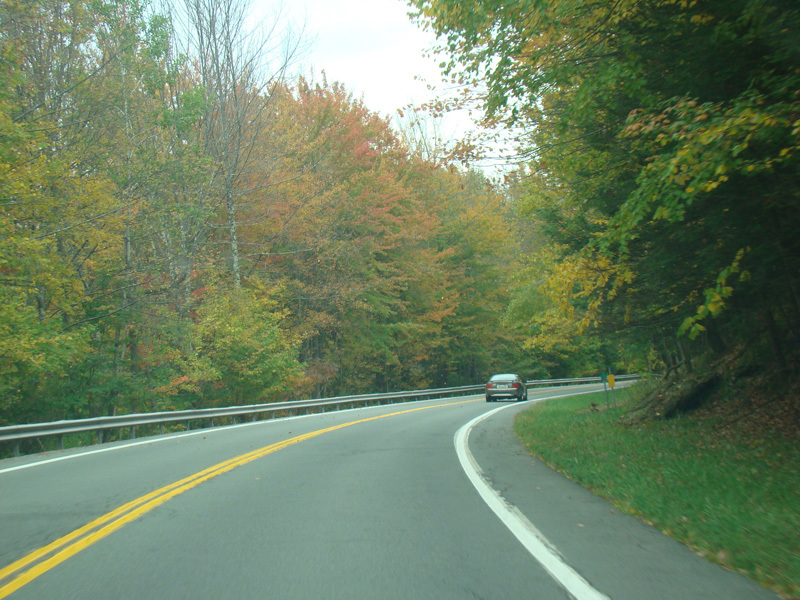
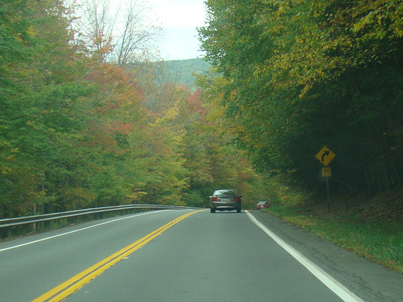
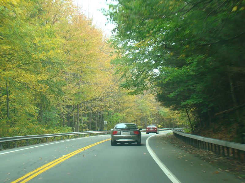
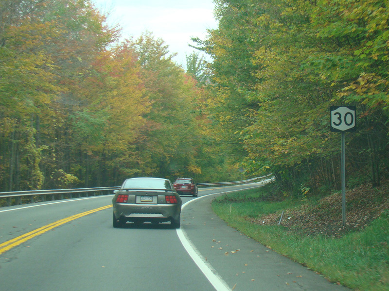
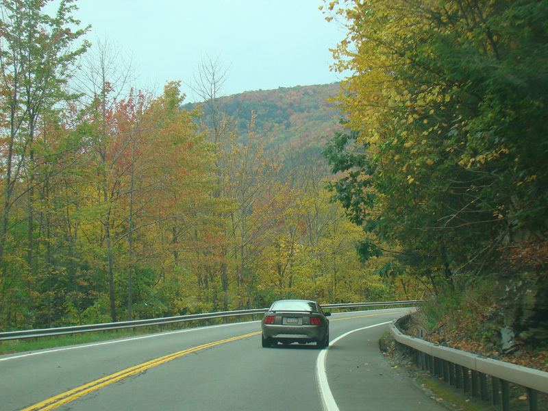
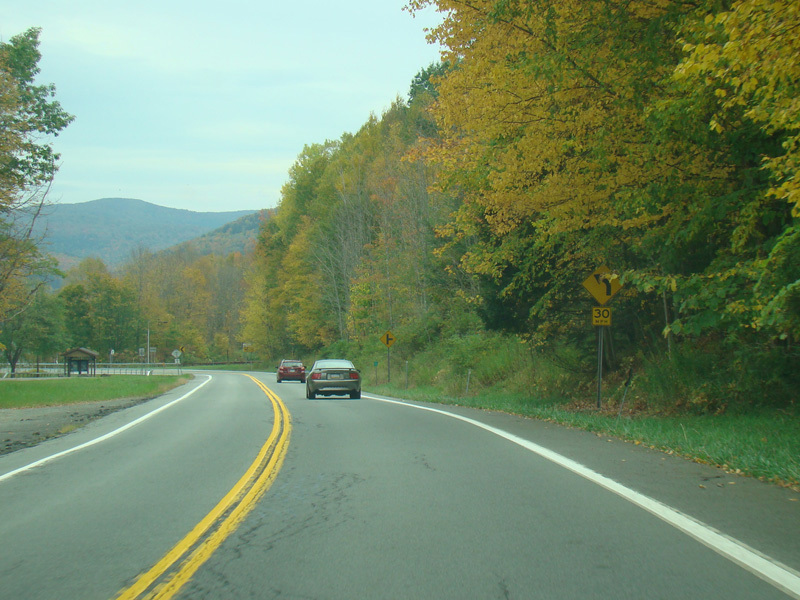
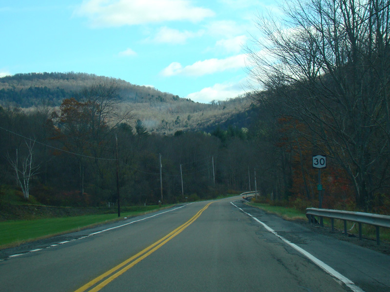
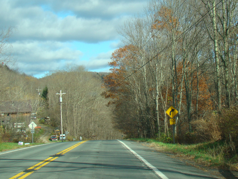
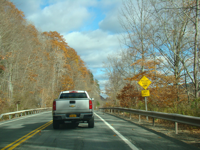
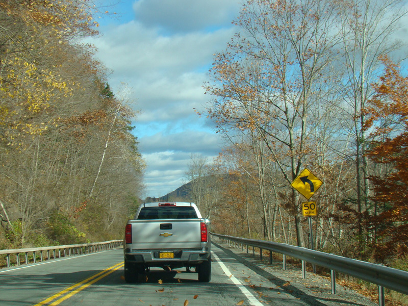
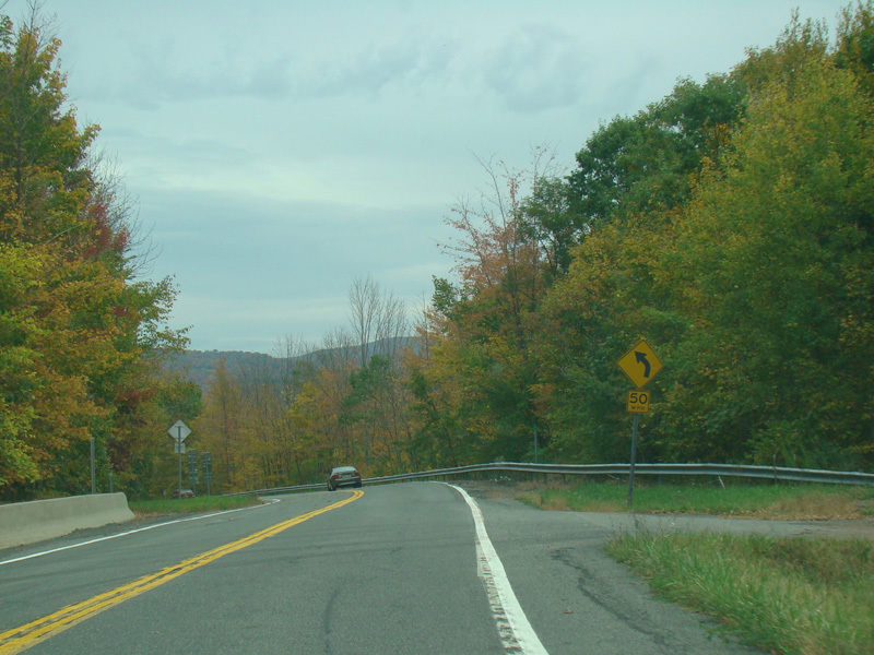
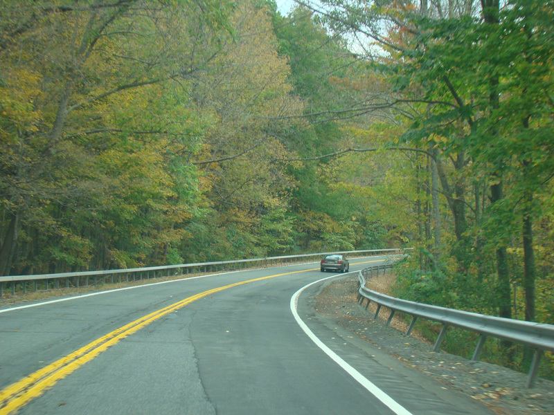
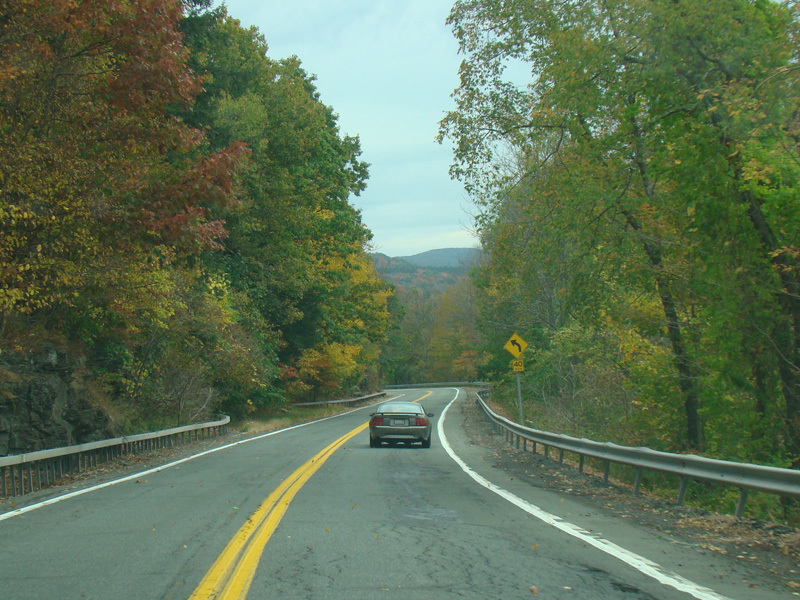
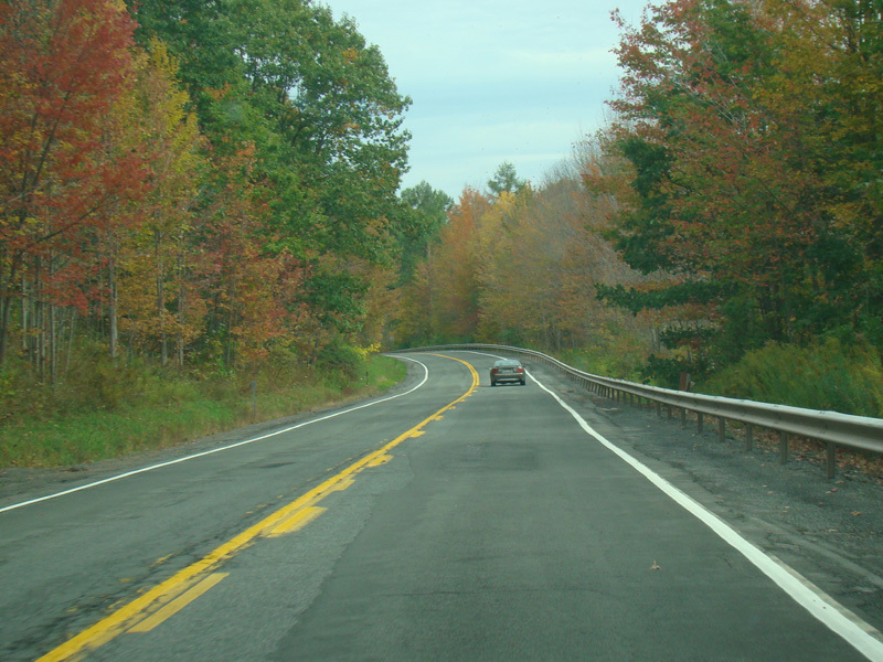
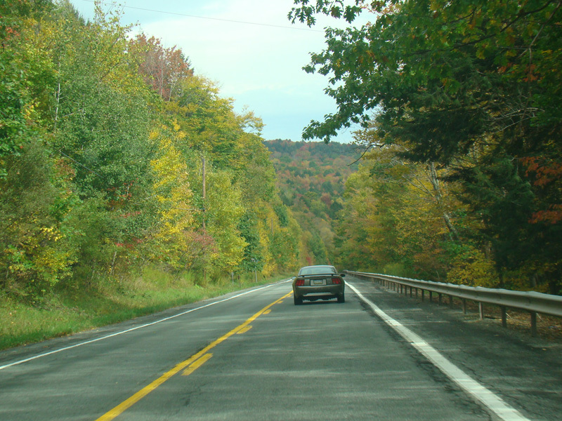
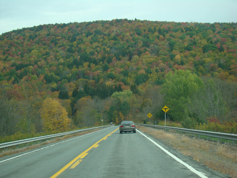
NY 30 runs northeast as a two-lane undivided road. The Pepacton Reservoir is on the left, but in most areas the view is blocked by the trees.
Photos taken October 2017.
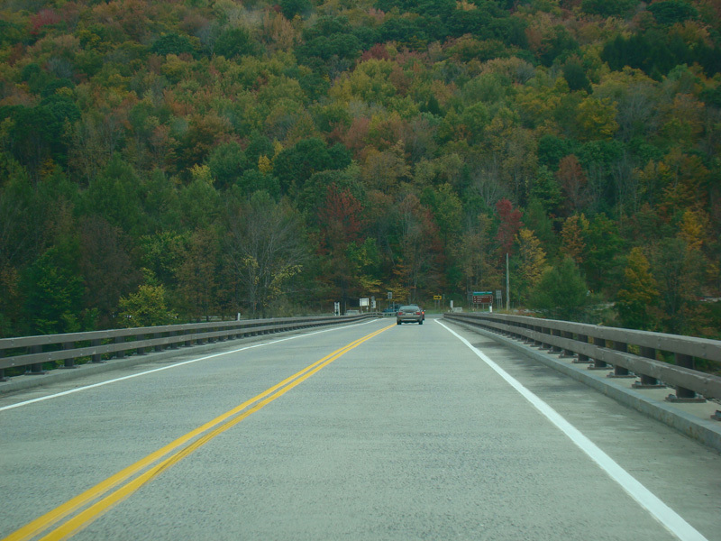
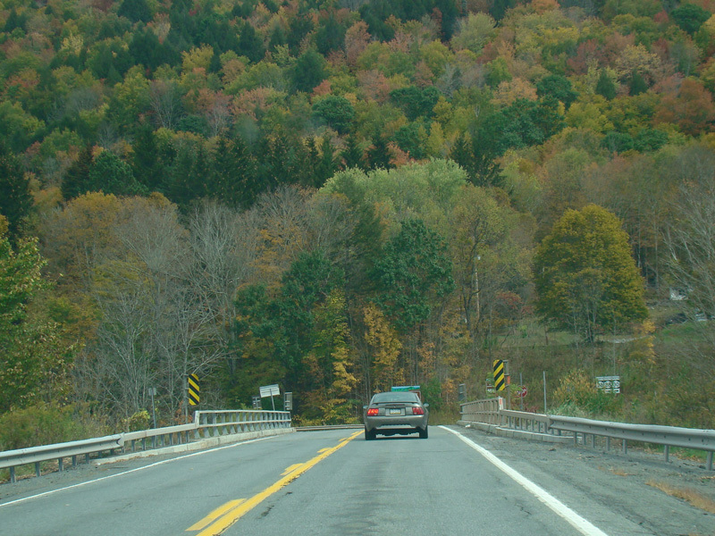
There is a bridge across the reservoir.
Photos taken October 2017.
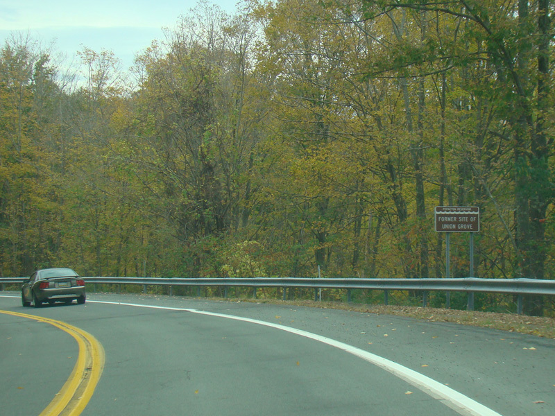
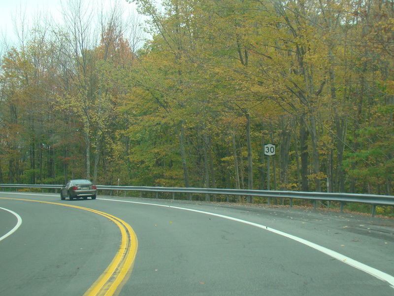

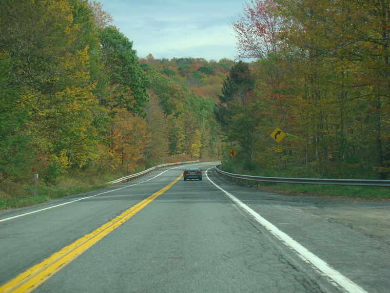
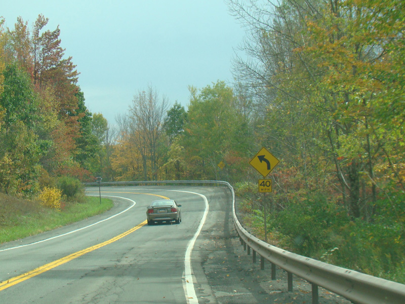

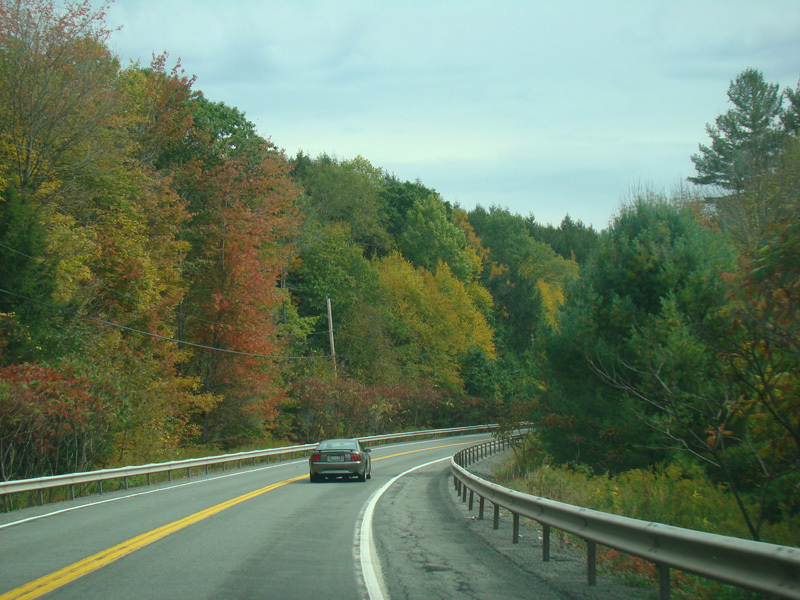
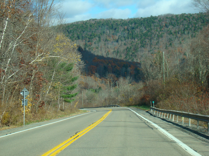
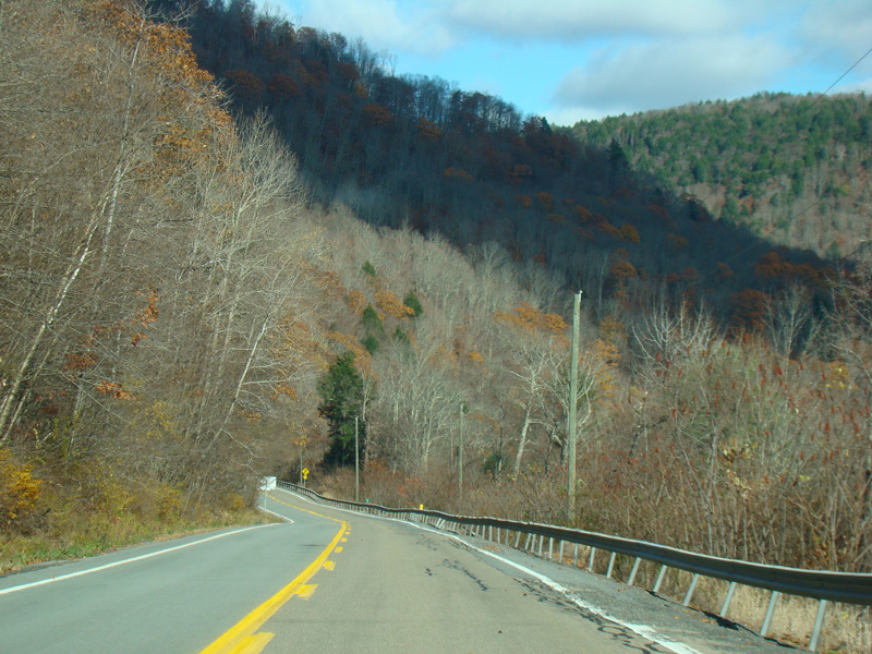
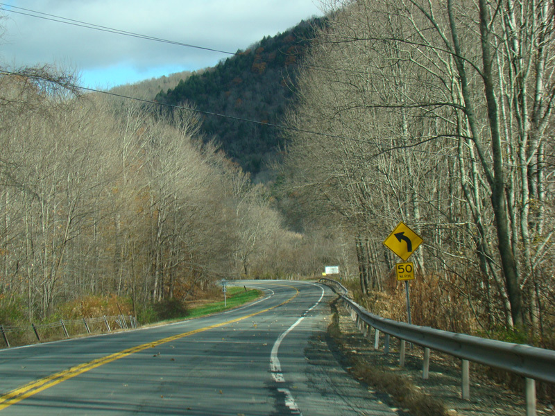
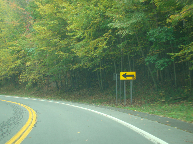
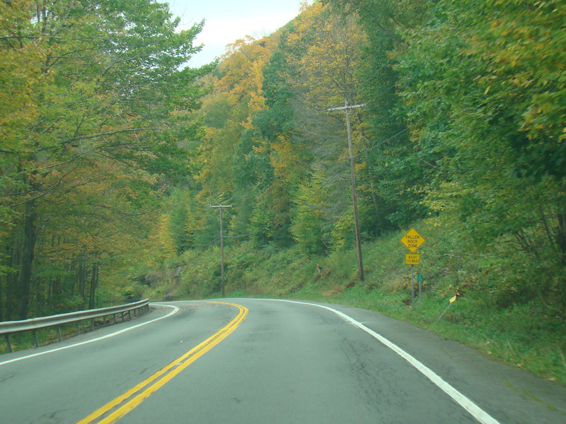
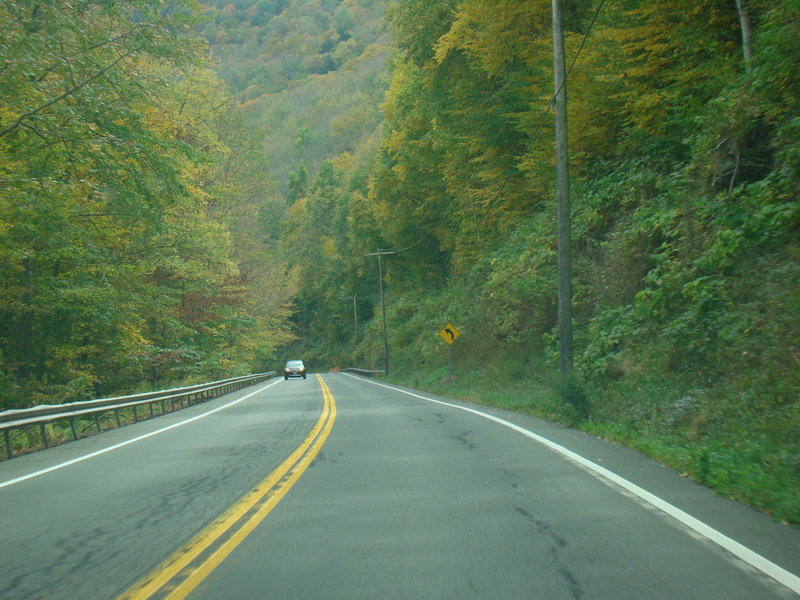
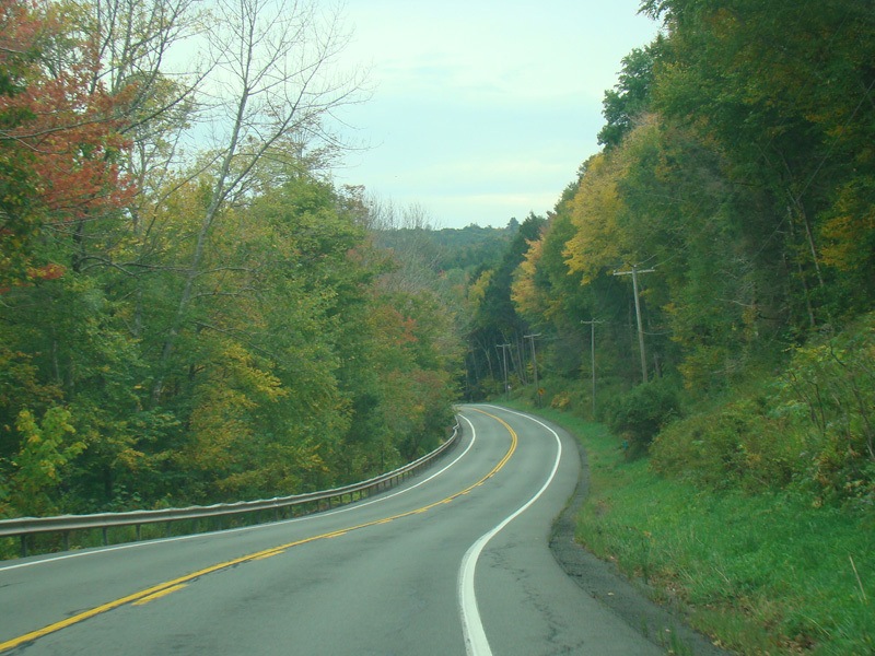
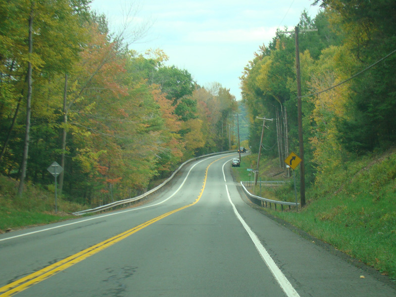
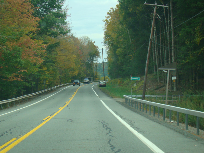
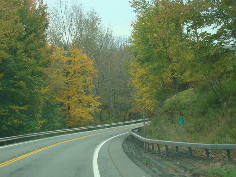
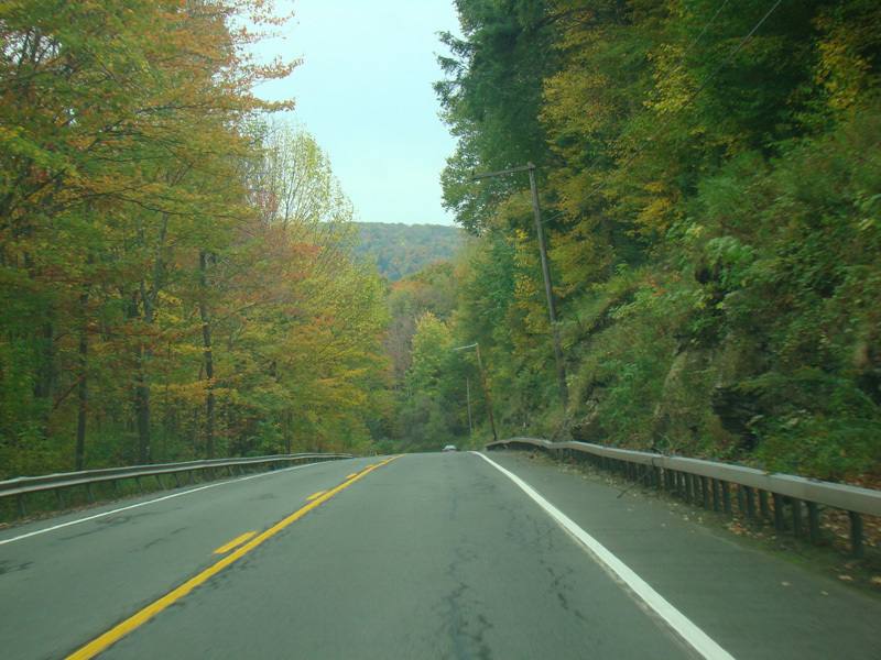
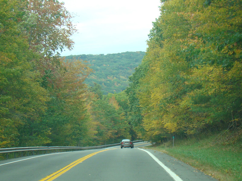
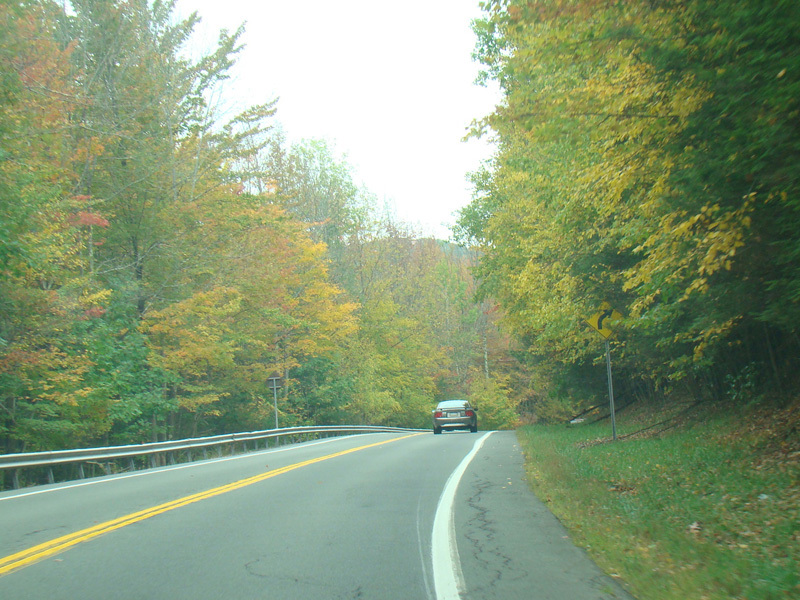
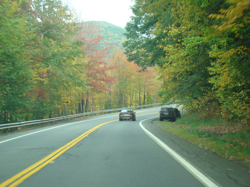
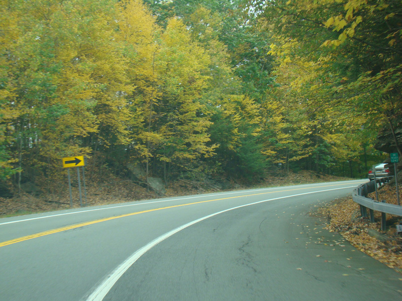
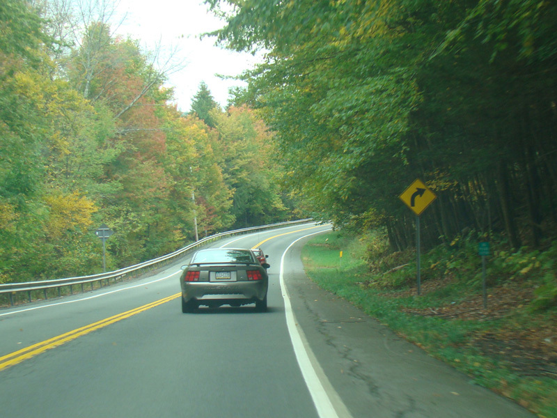
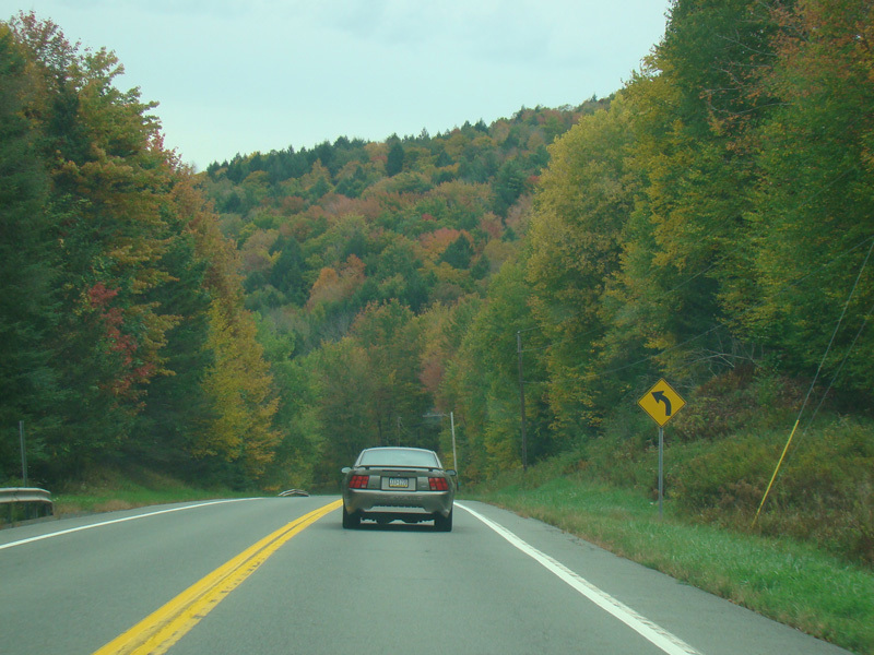
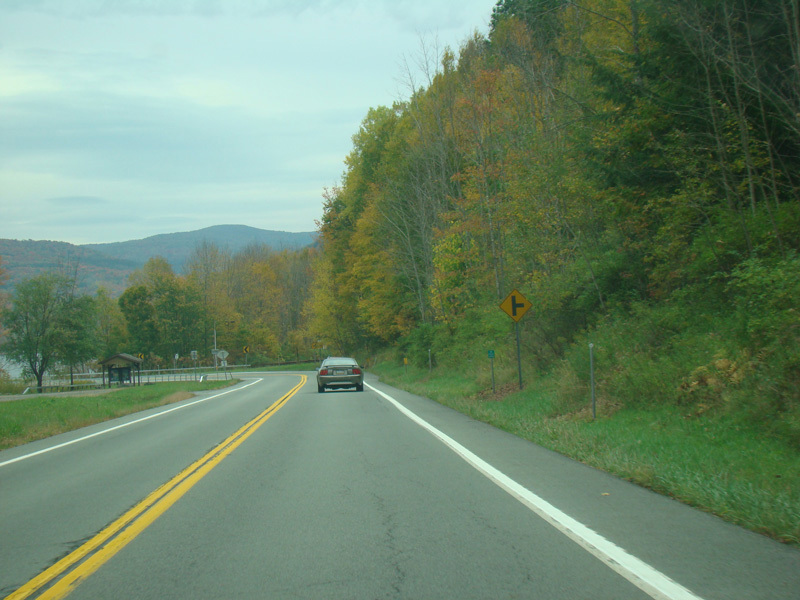
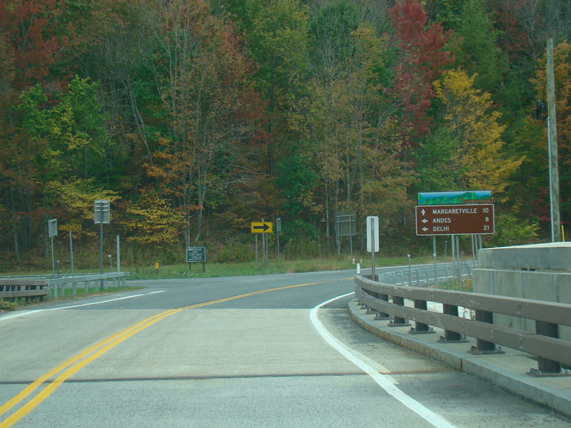
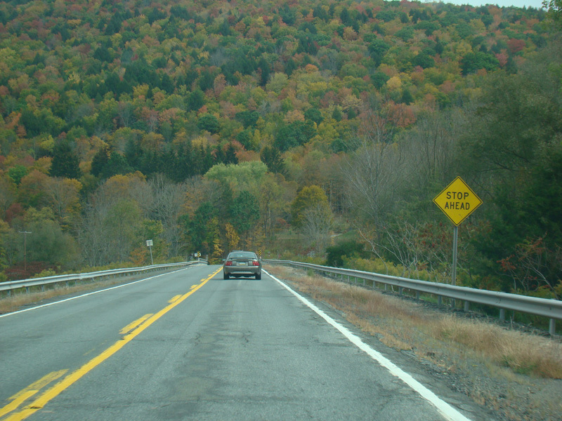
NY 30 continues northeast along the other side of the reservoir.
Photos taken October 2017.
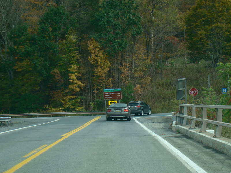
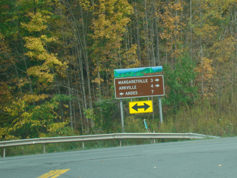
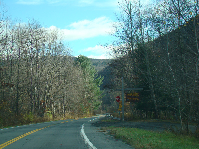
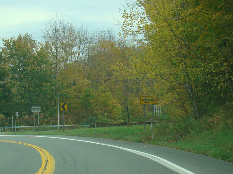
The road ends at a stop sign at NY 28. Turn left to go north or right to go south and to stay on NY 30.
Photos taken October 2017.