Bear Mountain-Beacon Highway, Chestnut Street, Morris Avenue, Wolcott Avenue, North Avenue, North Road, South Avenue, East Main Street, West Main Street
Northbound Views
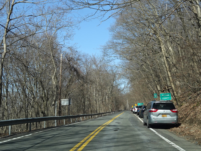
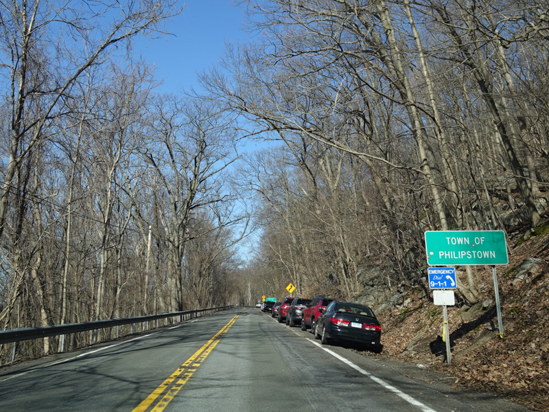
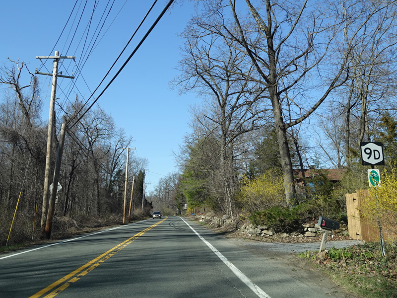


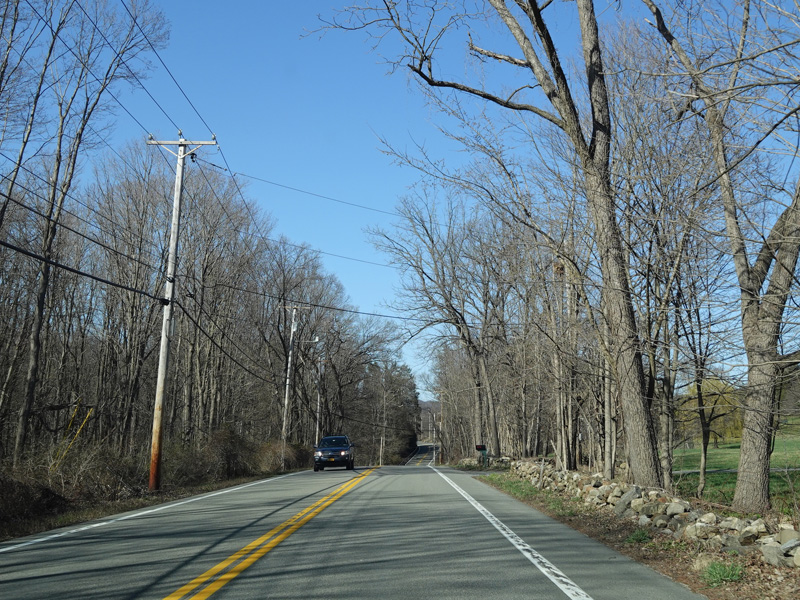
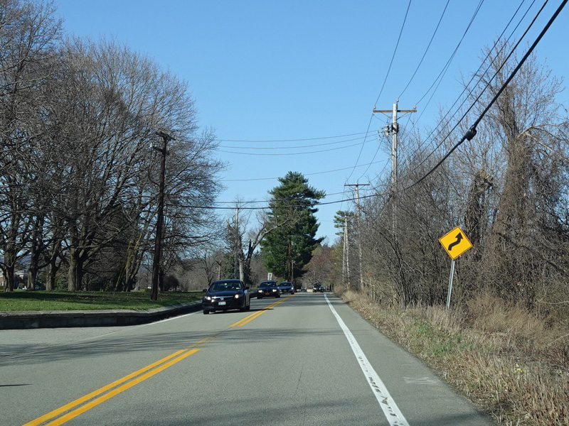
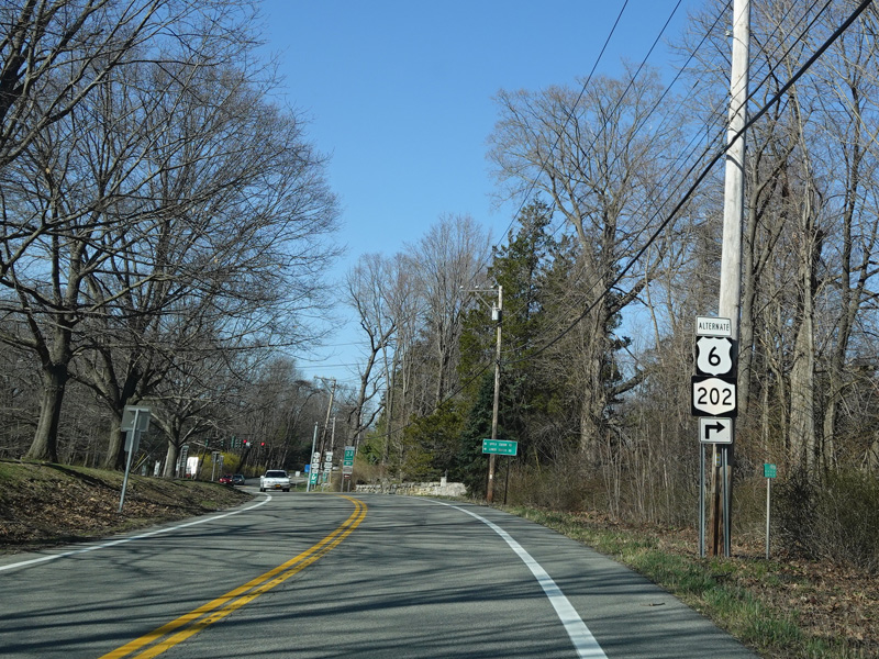
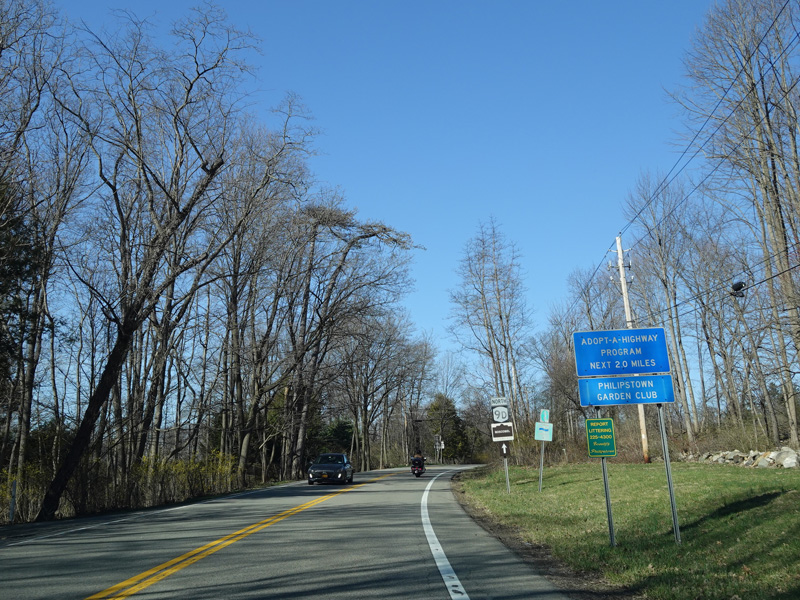
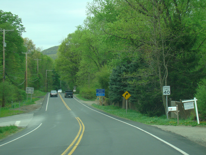
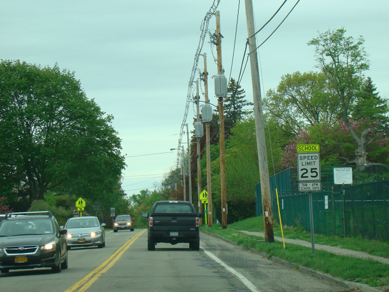
Welcome to Putnam County and the Towns of Philipstown!
Photos taken April 2021.
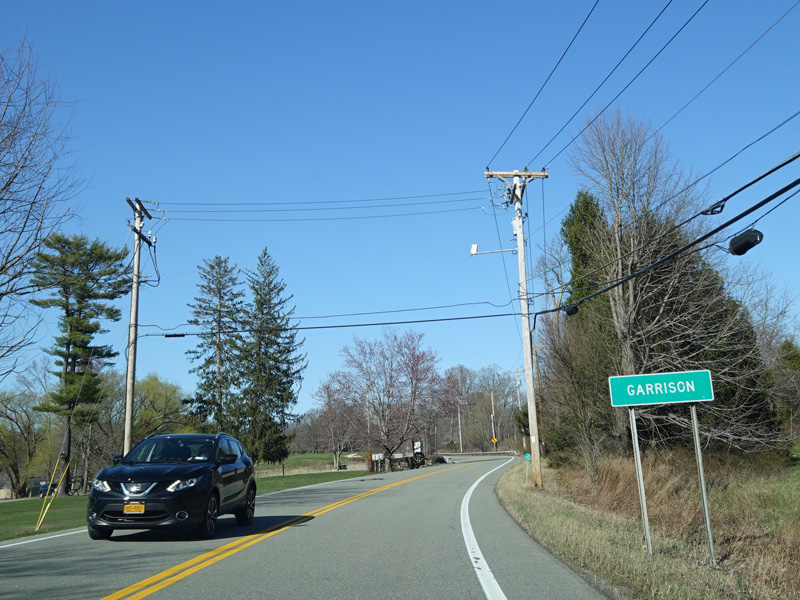

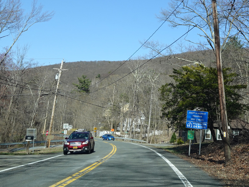
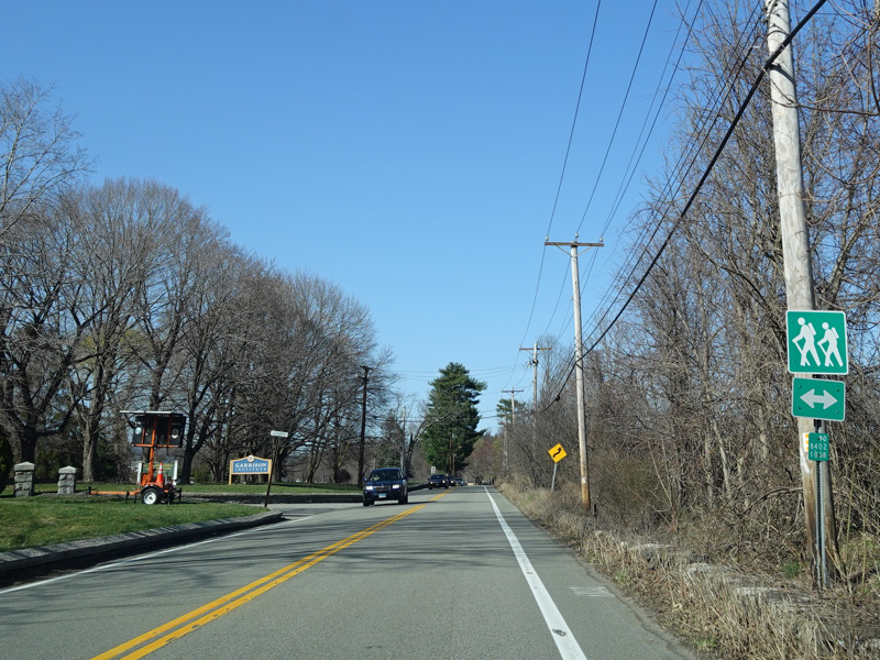
Welcome to Garrison!
Photos taken April 2021.
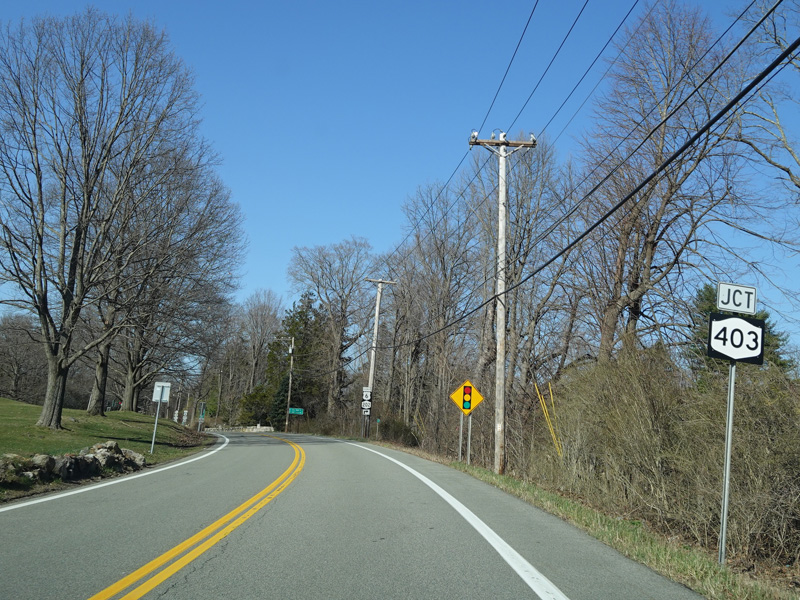
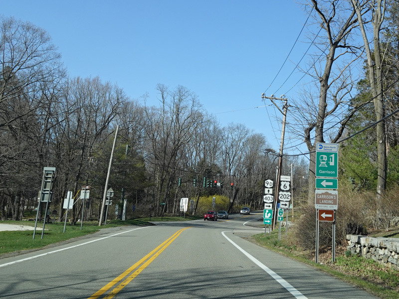
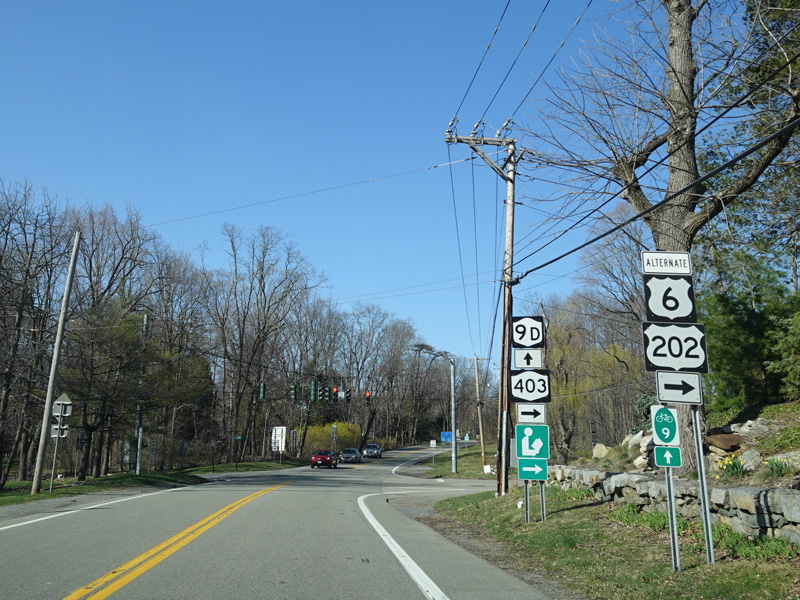
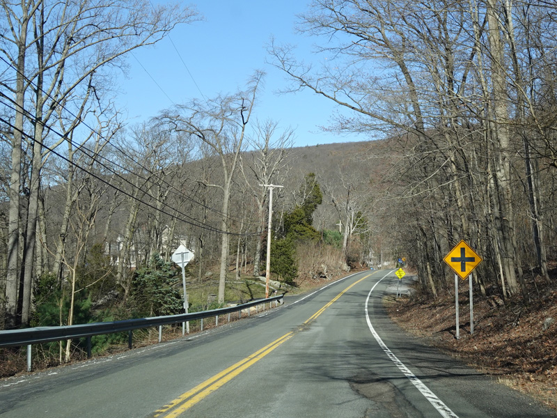
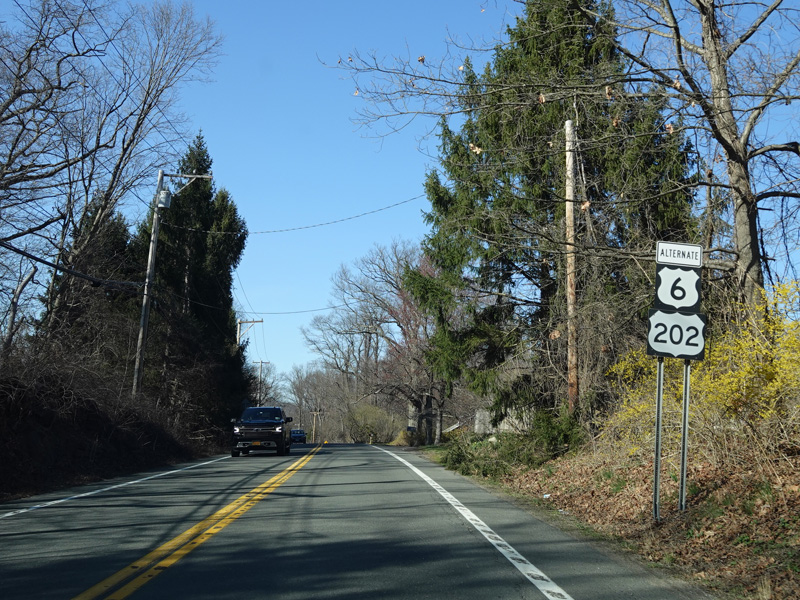
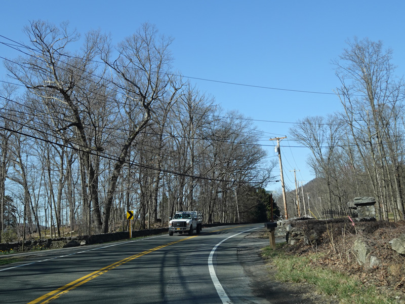
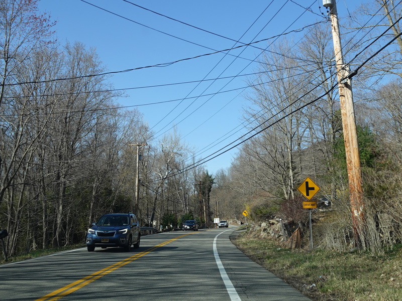
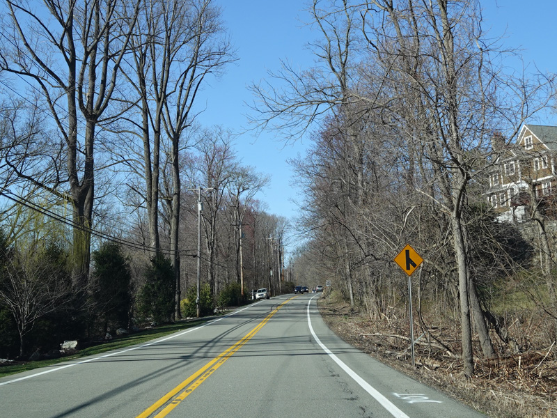
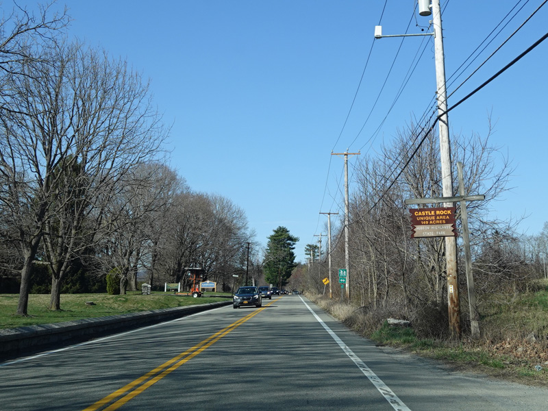
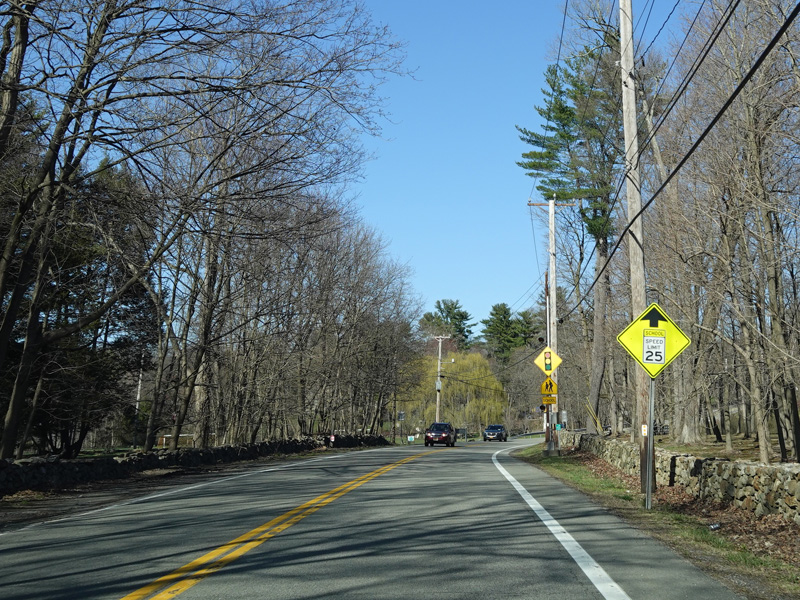
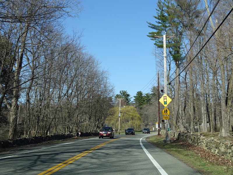
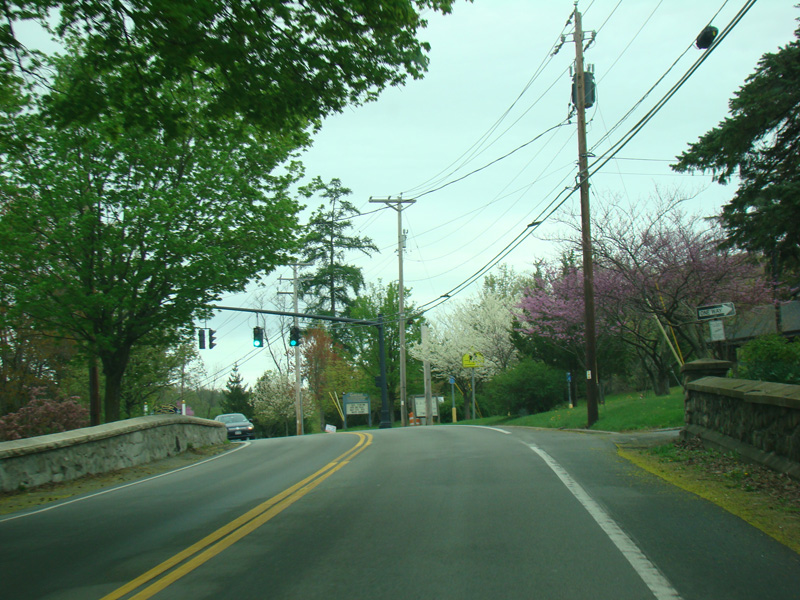
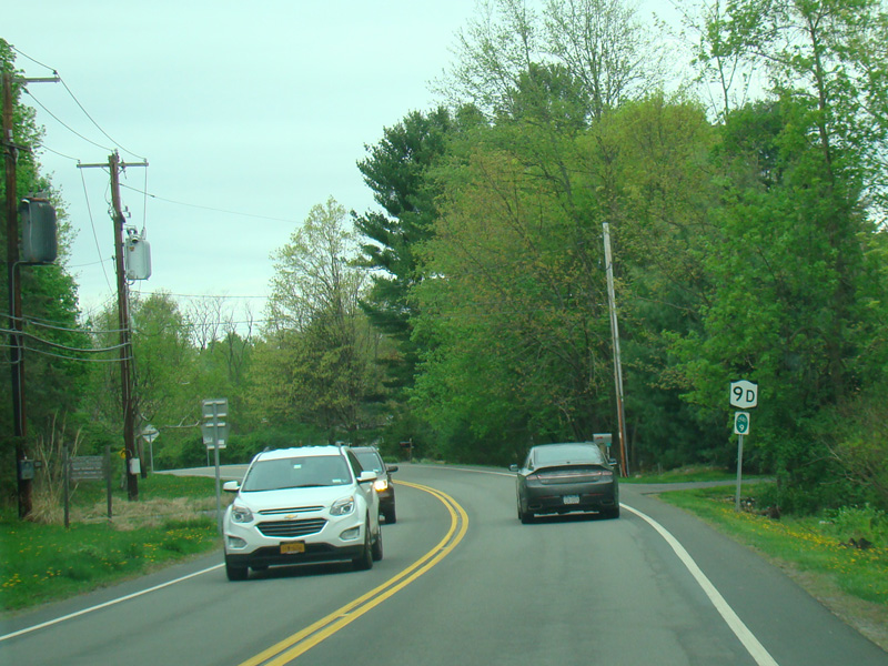
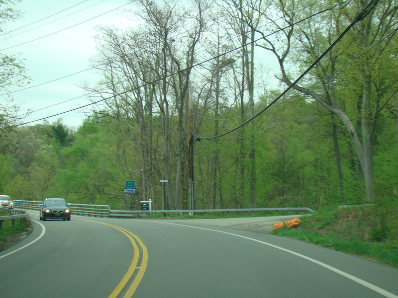
Cat Rock Road (NY 403) begins on the right at a traffic light. Lower Station Road (CR 12) begins on the left. There is no county route signage.
Photos taken April 2021.
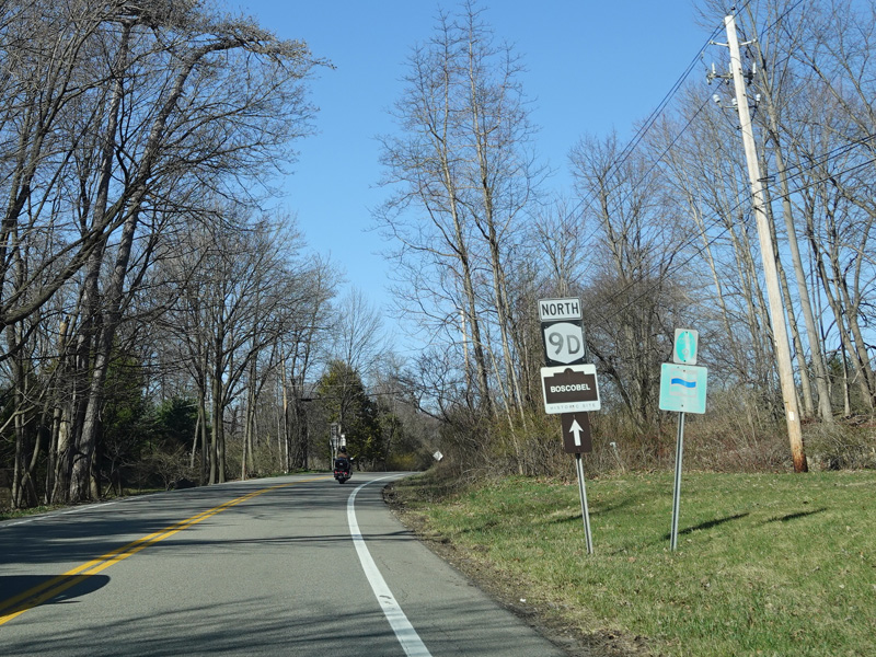
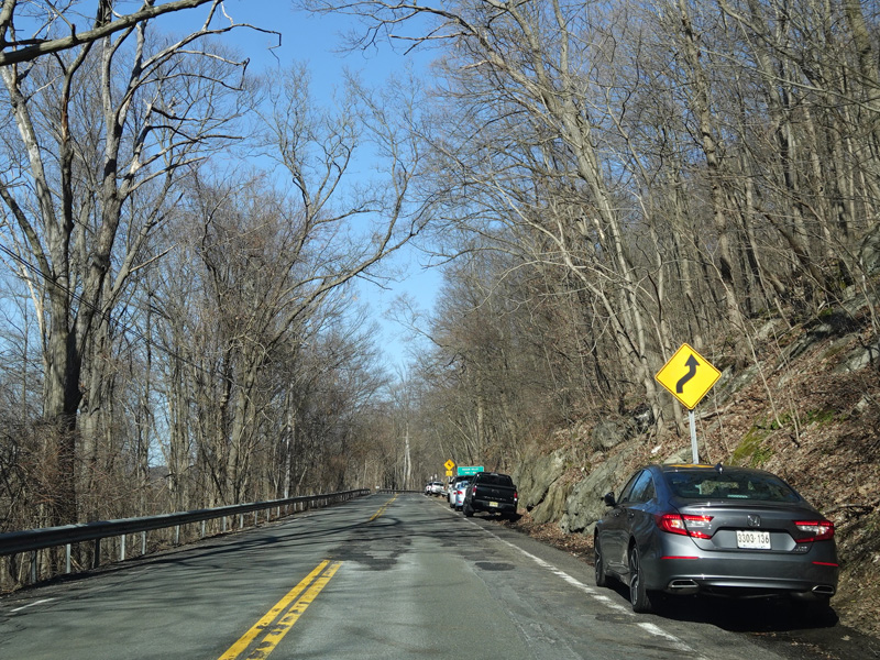
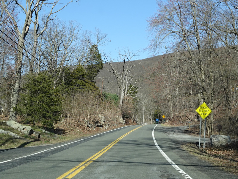
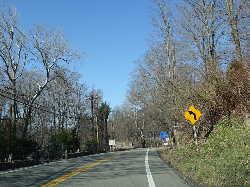
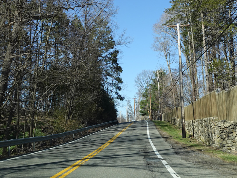
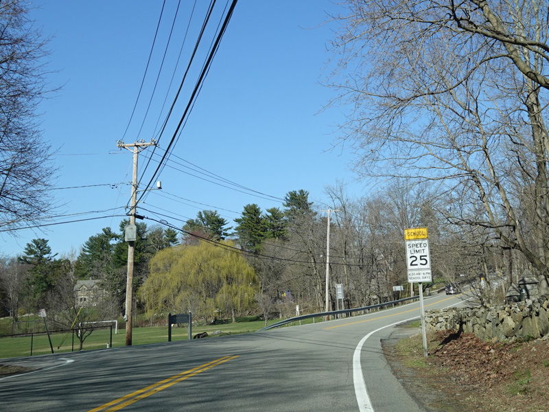
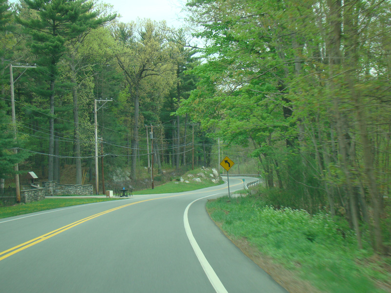
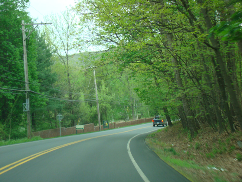
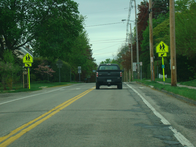
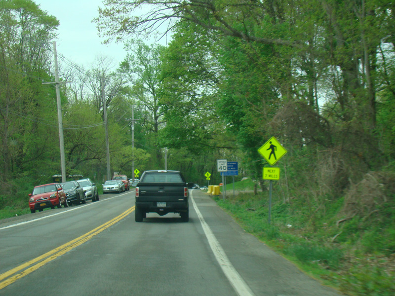
Bear Mountain-Beacon Highway runs north through Garrison.
Photos taken April 2021.
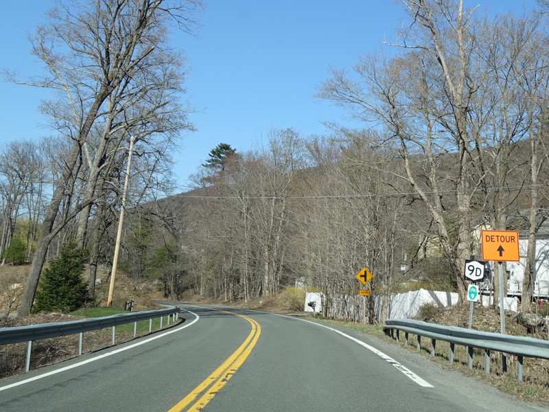
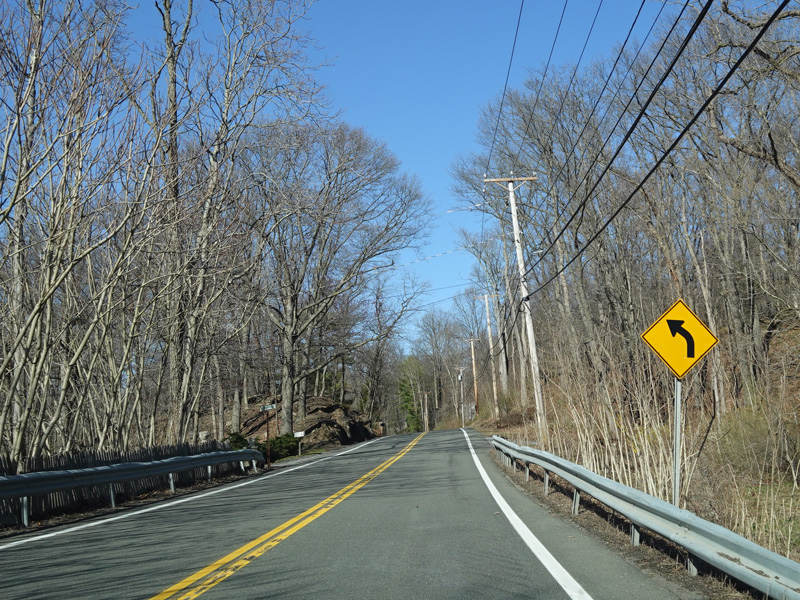
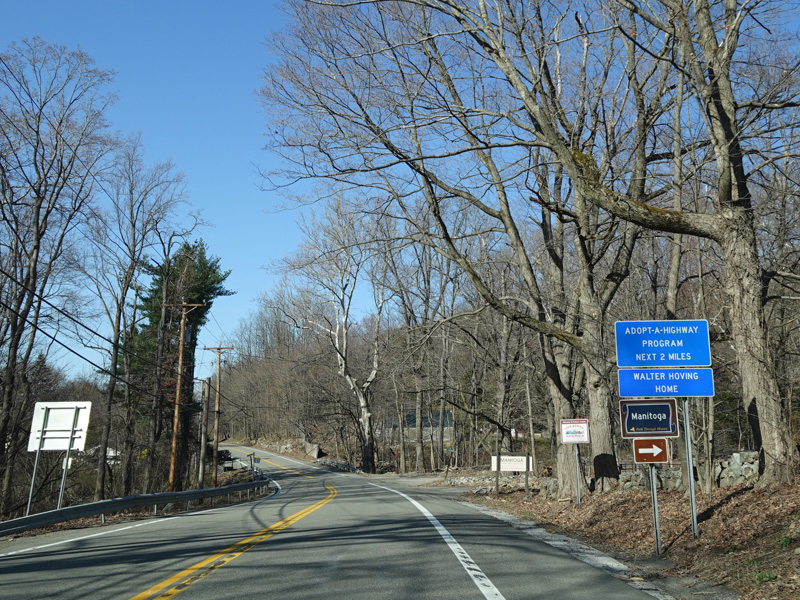
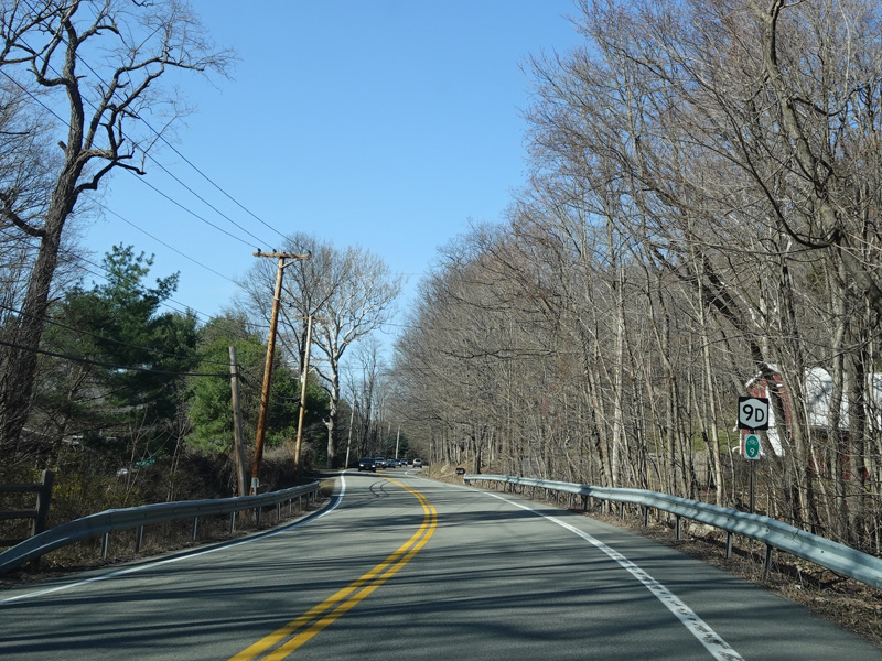
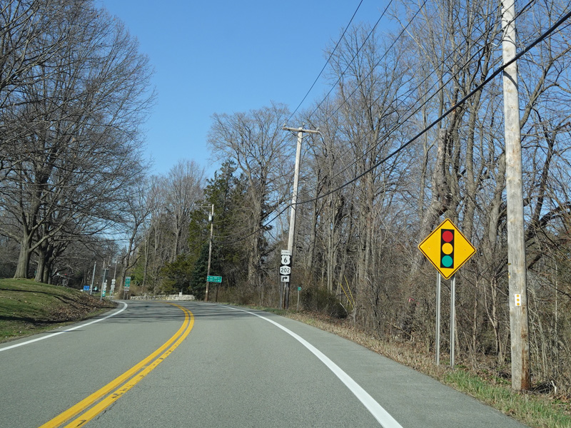
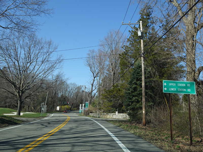
Upper Station Road (CR 14) begins on the left. Once again, there is no county route signage.
Photo taken April 2021.


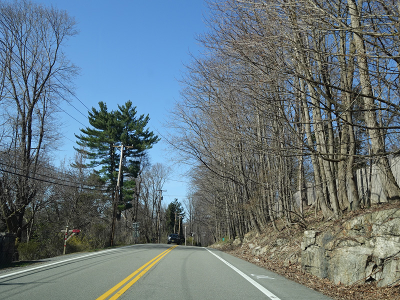
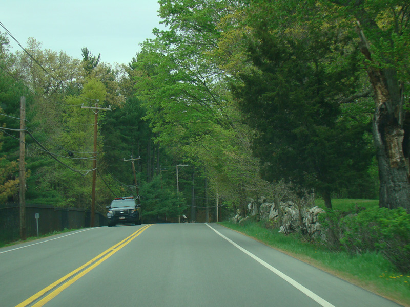
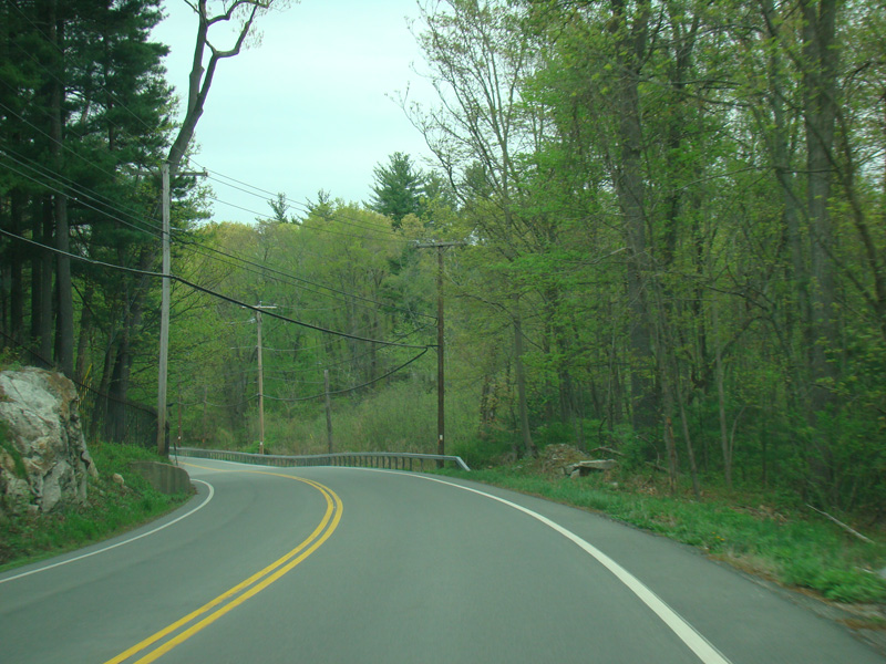
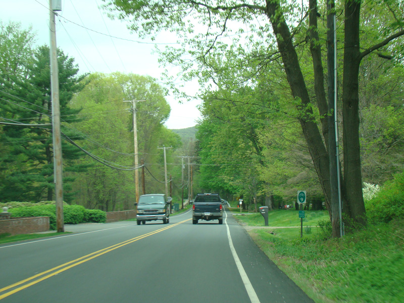
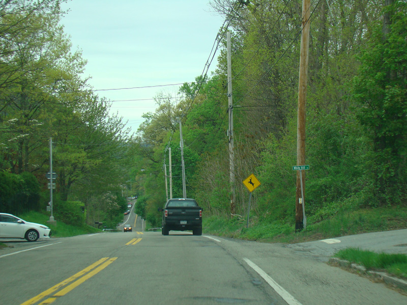
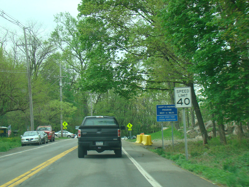
Bear Mountain-Beacon Highway continues north through Garrison.
Photos taken April 2017.

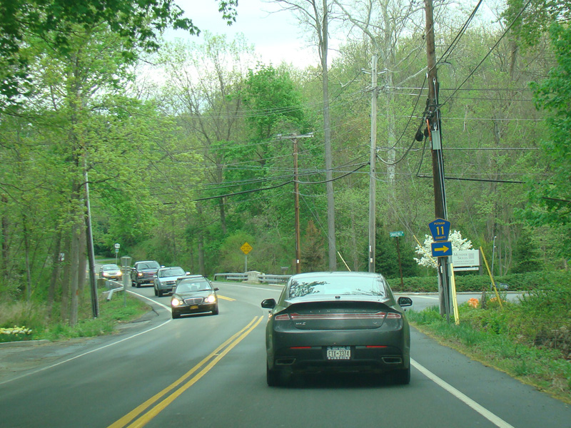
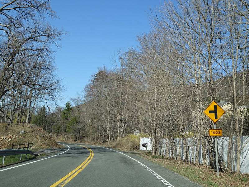
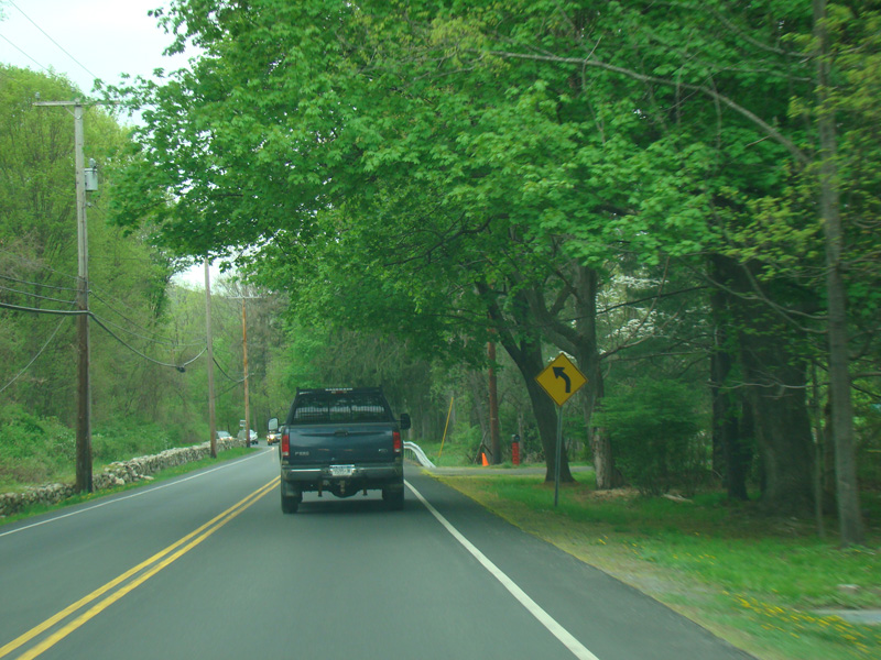
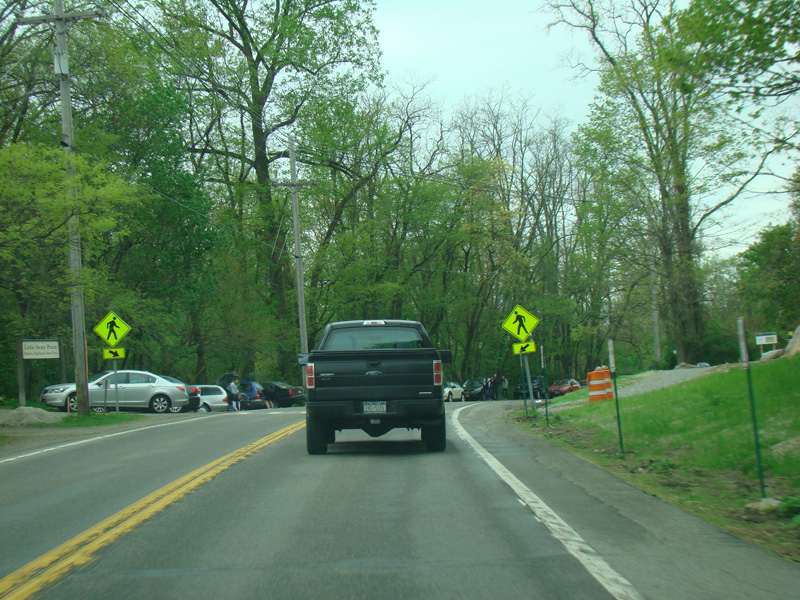
Snake Hill Road (CR 11) begins on the right.
Photos taken April 2017.
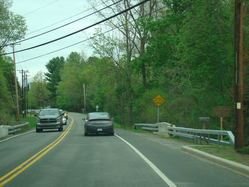
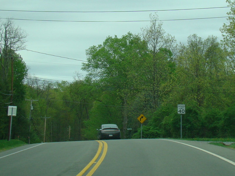
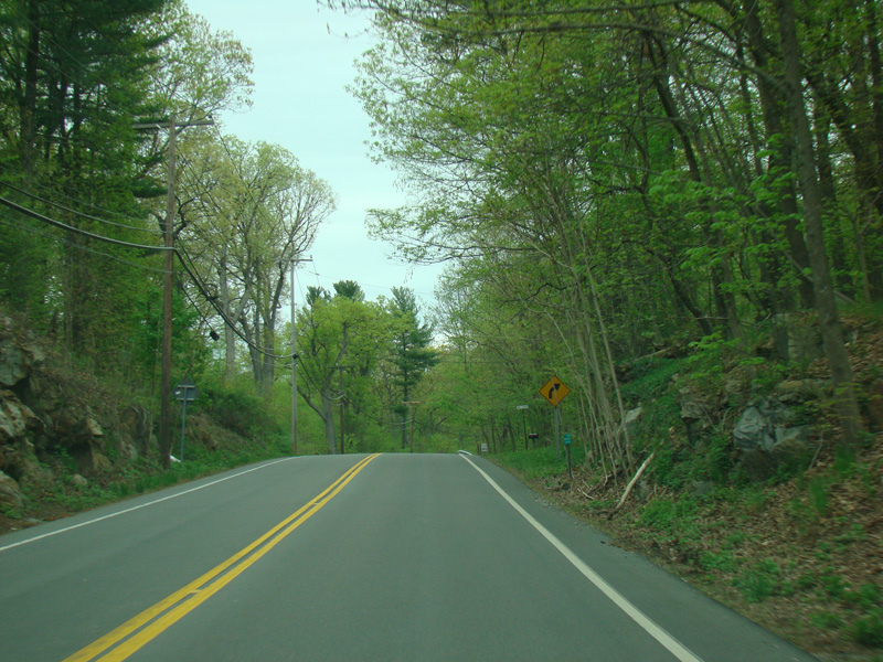
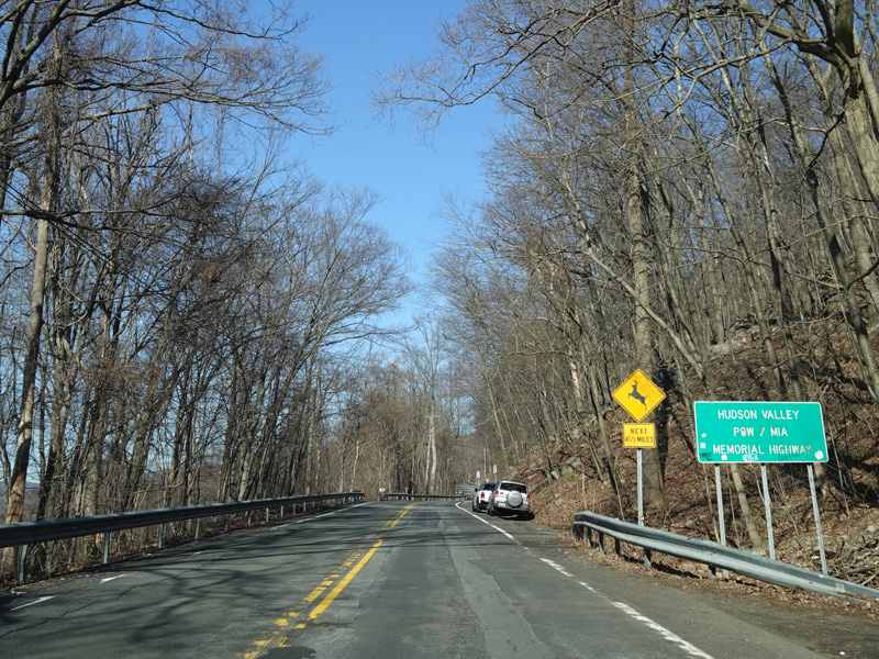
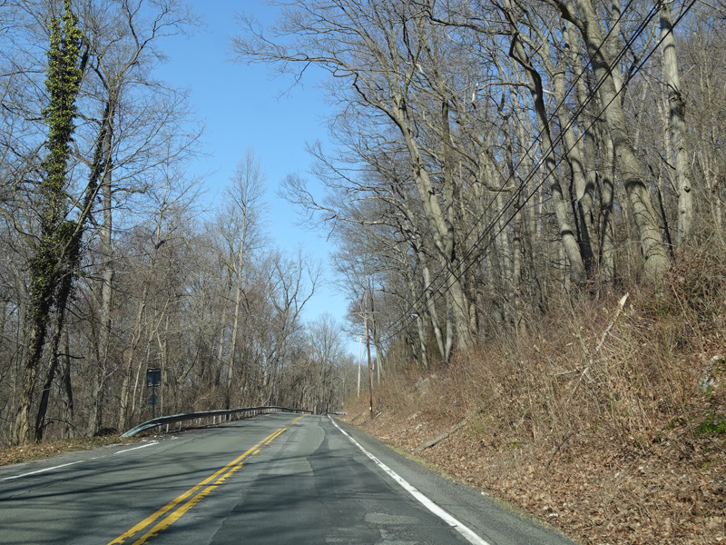
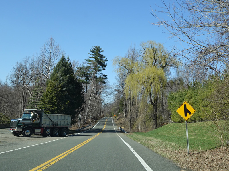
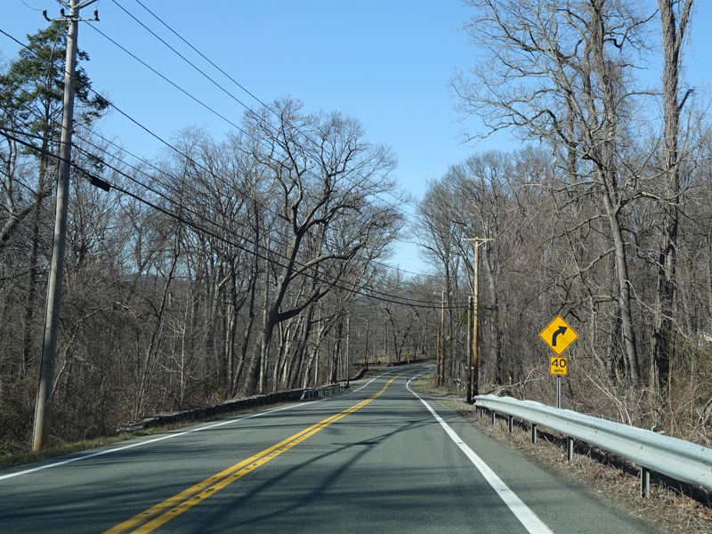
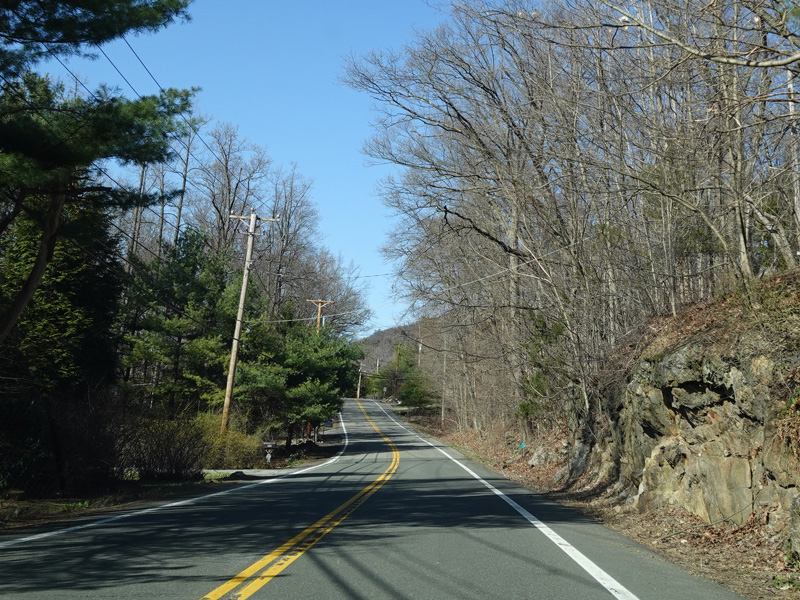
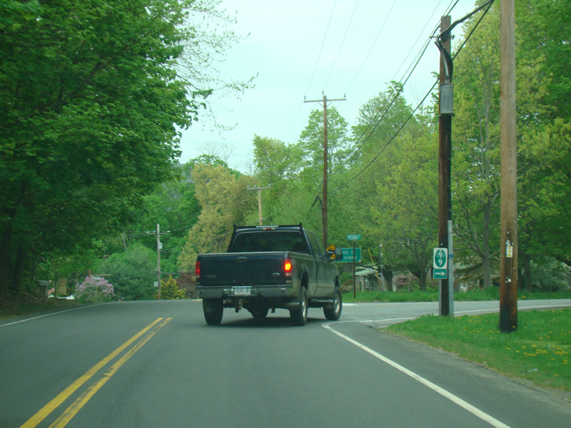
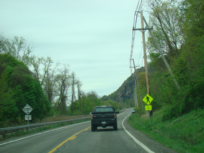
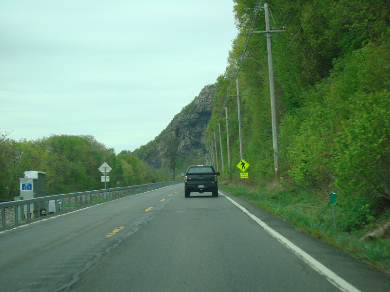
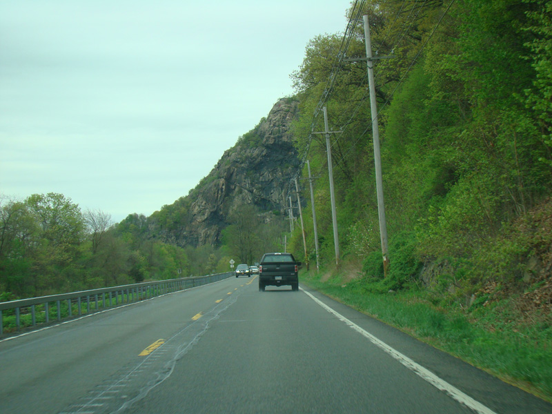
Bear Mountain-Beacon Highway runs north as a two-lane undivided road.
Photos taken April 2017.
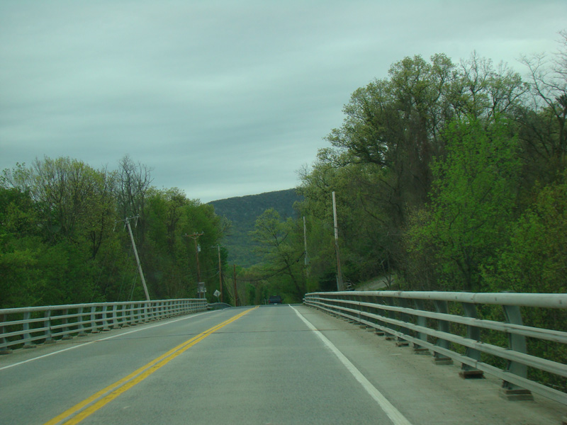
There is a bridge over Indian Brook.
Photos taken April 2017.
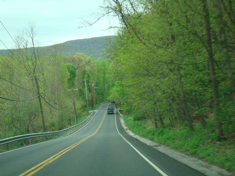

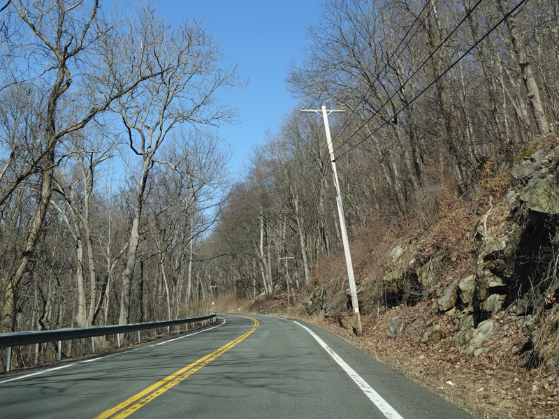
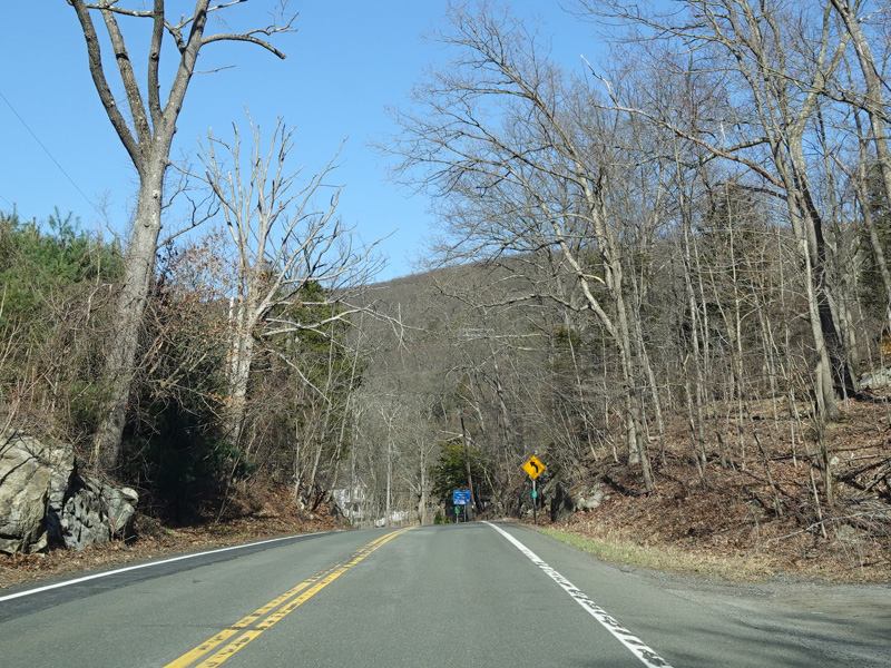
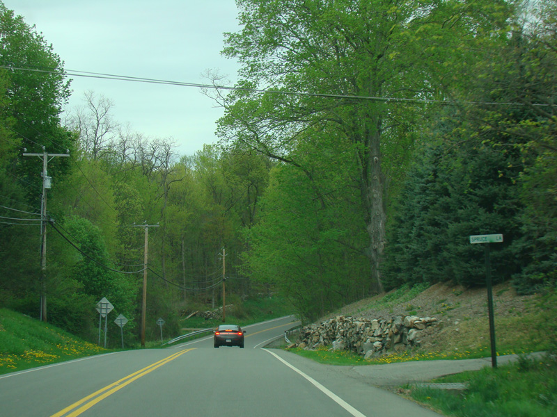
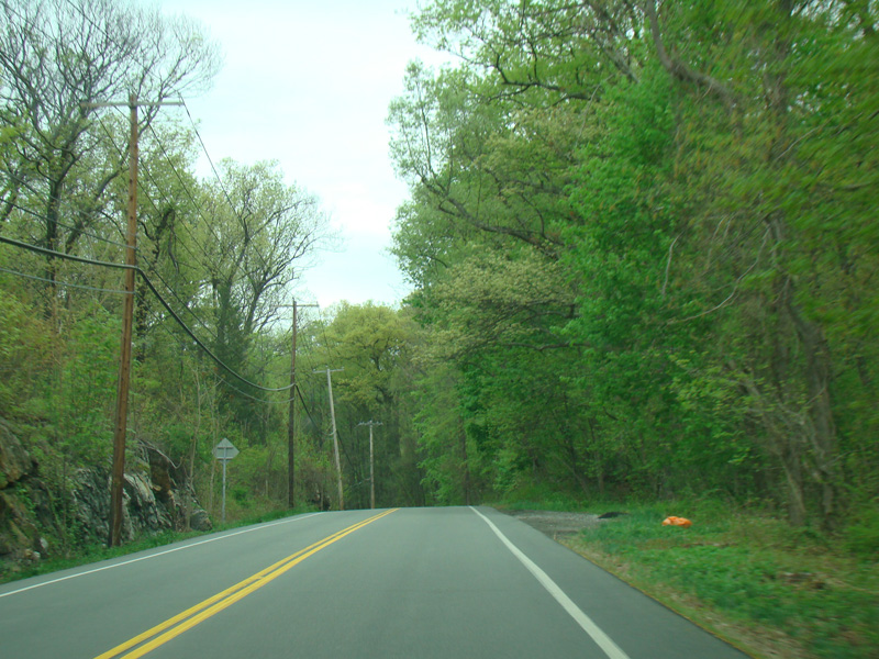
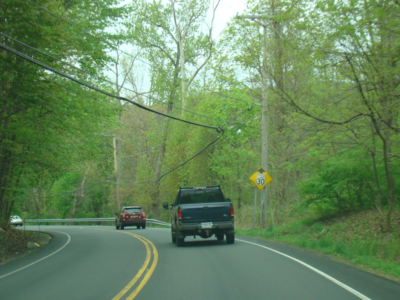
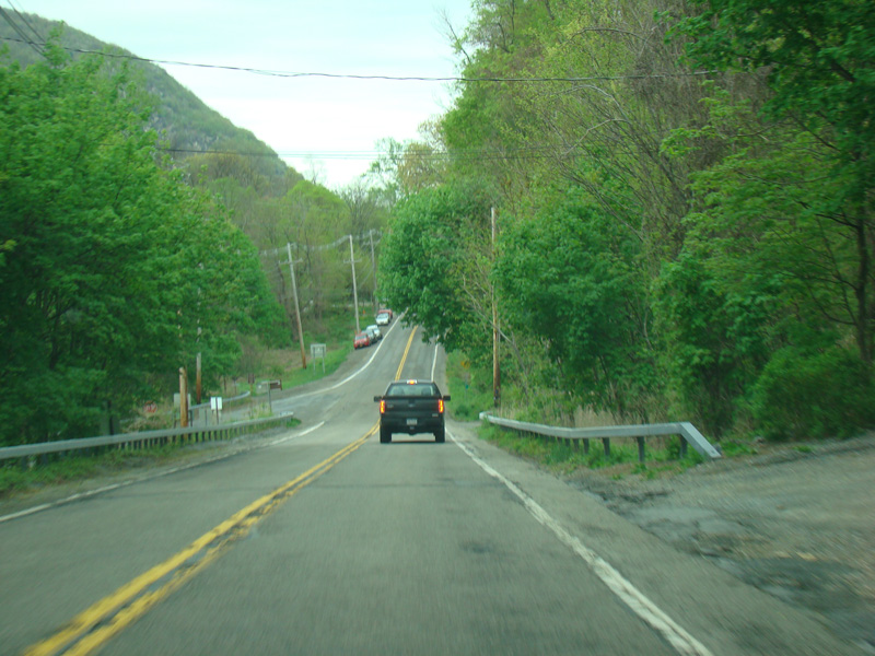
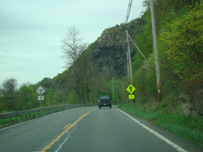
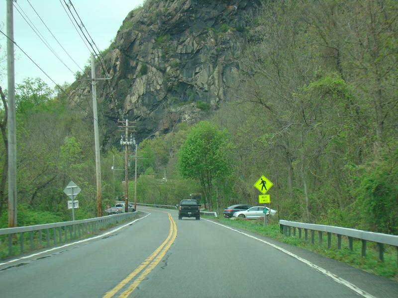
Bear Mountain-Beacon Highway continues north toward Cold Spring.
Photos taken April 2017.
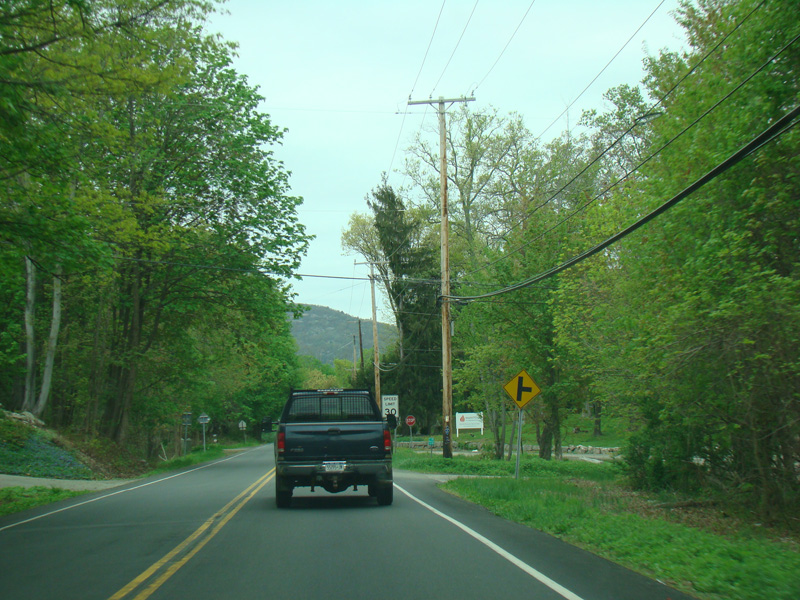
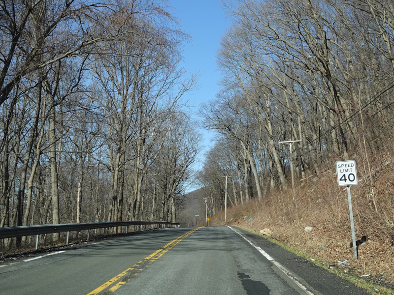
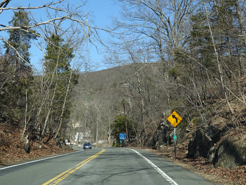
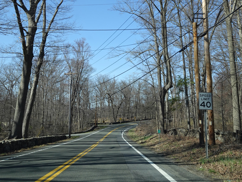
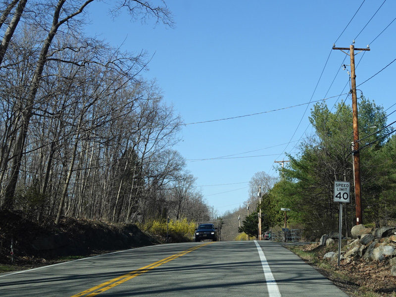
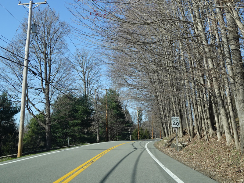
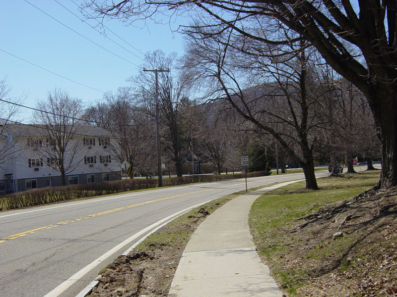
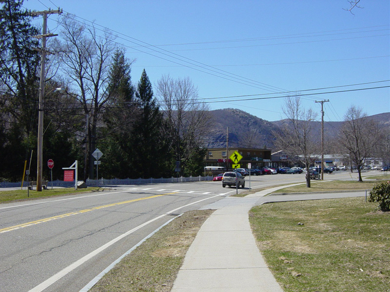
Coming into town, the speed limit drops to 30 MPH.
Photos taken April 2017.
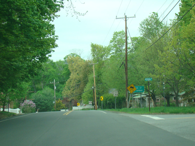
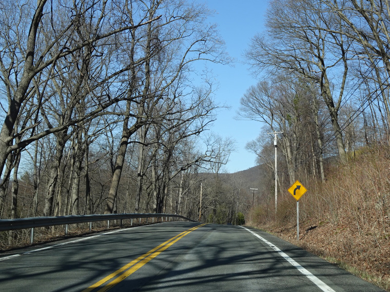
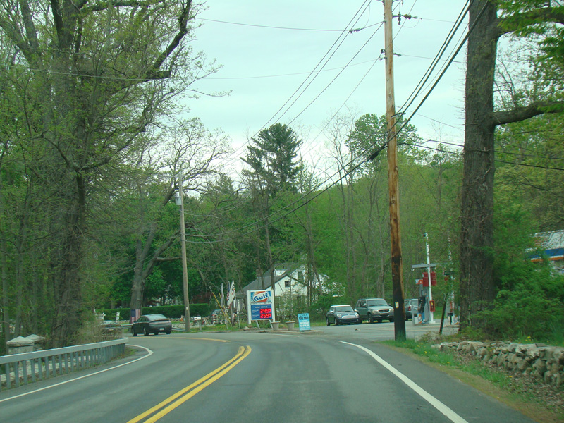
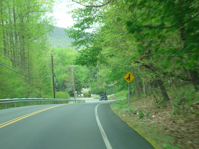
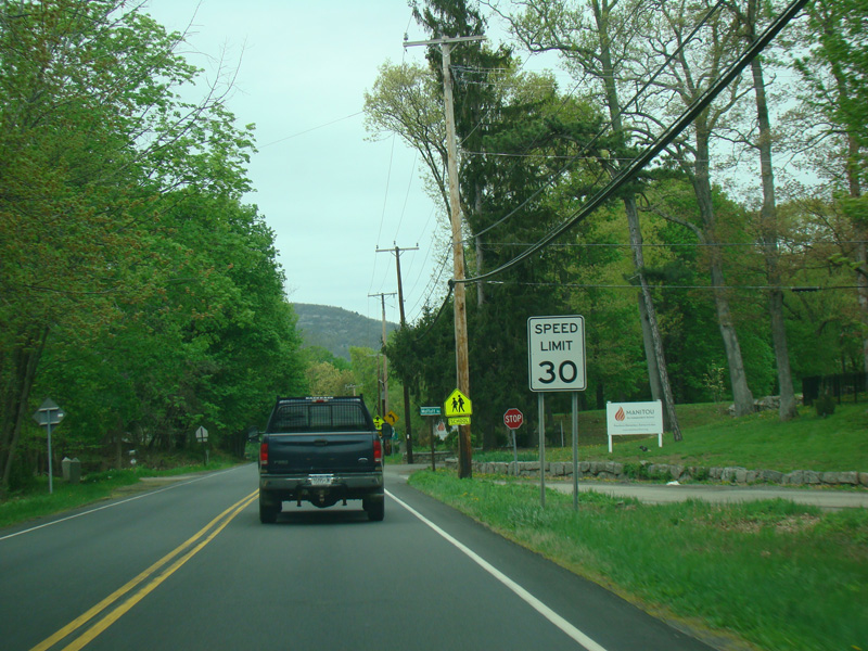
Peekskill Road (CR 16) begins on the right. There is no county route signage.
Photos taken April 2017.
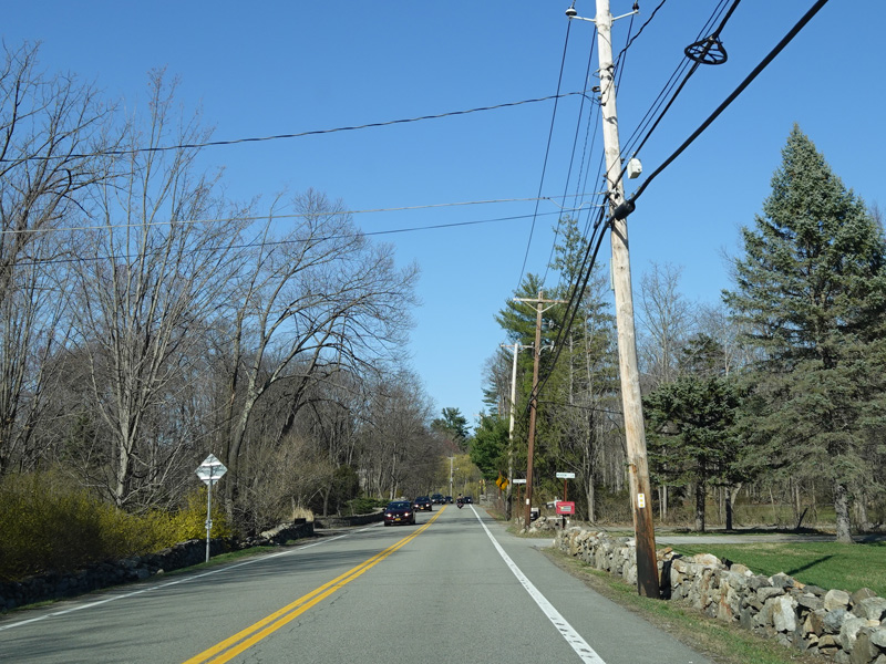
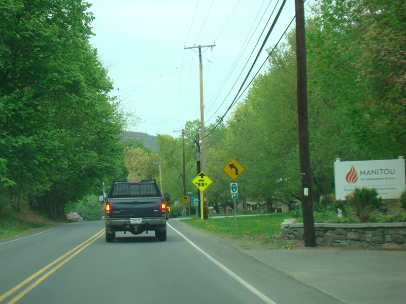
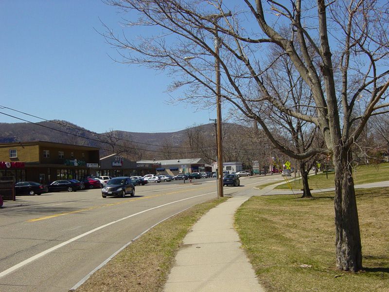
Chestnut Street merges in from the left.
Photos taken April 2014.
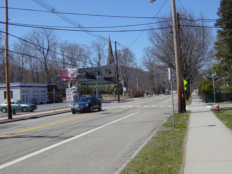
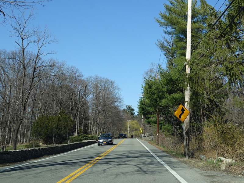
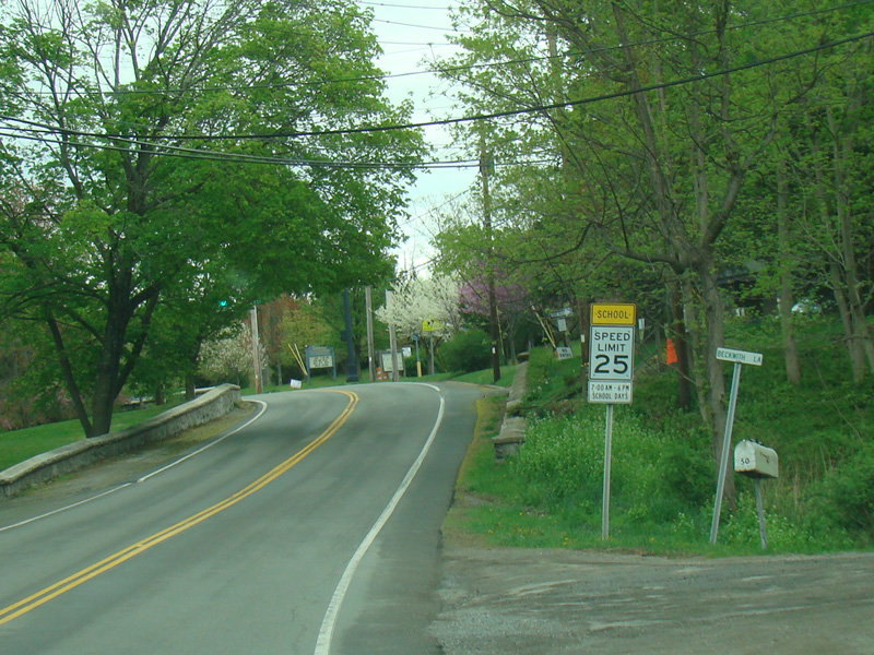
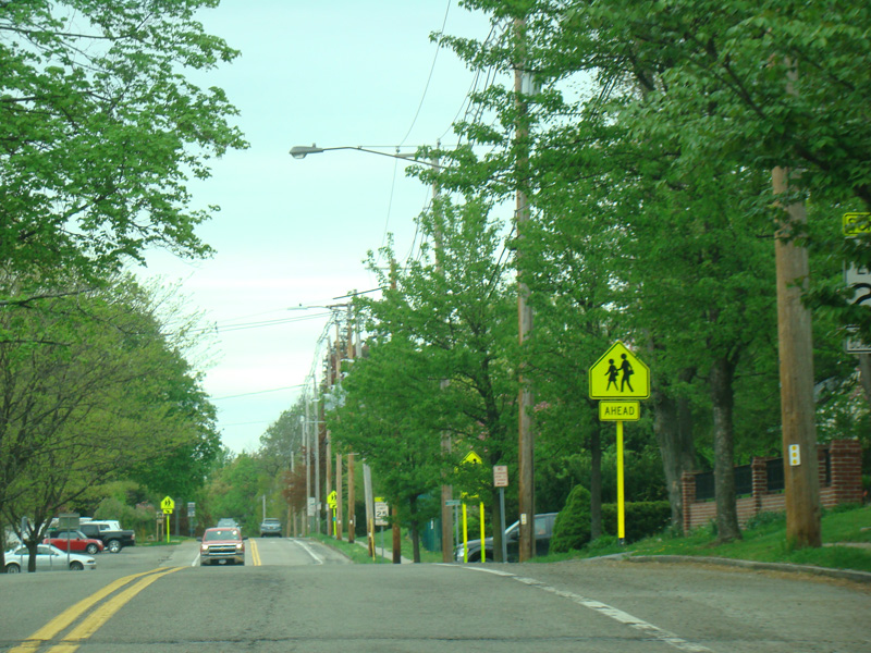
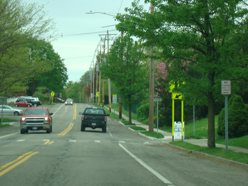
Chestnut Street runs north through Cold Spring as a two-lane undivided road.
Photos taken April 2014.
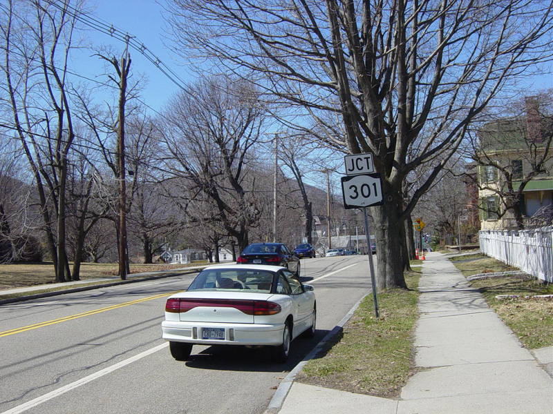
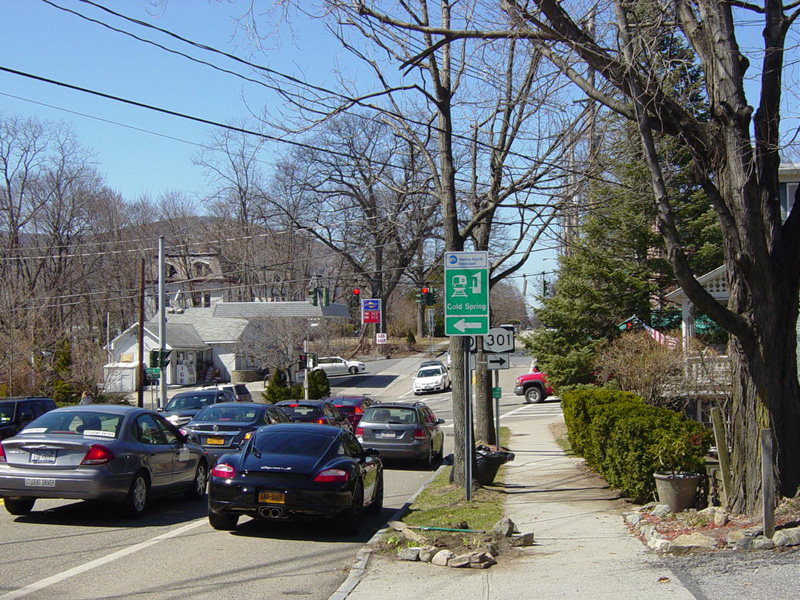
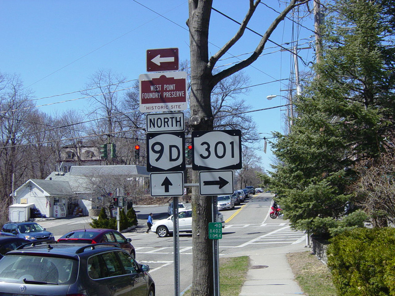
There is a traffic light at Main Street. Turn right for NY 301, which begins here. Turn left for the Cold Spring train station. Straight ahead, NY 9D changes names to become Morris Avenue.
Photos taken April 2014.

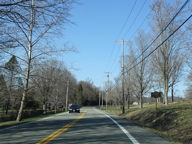
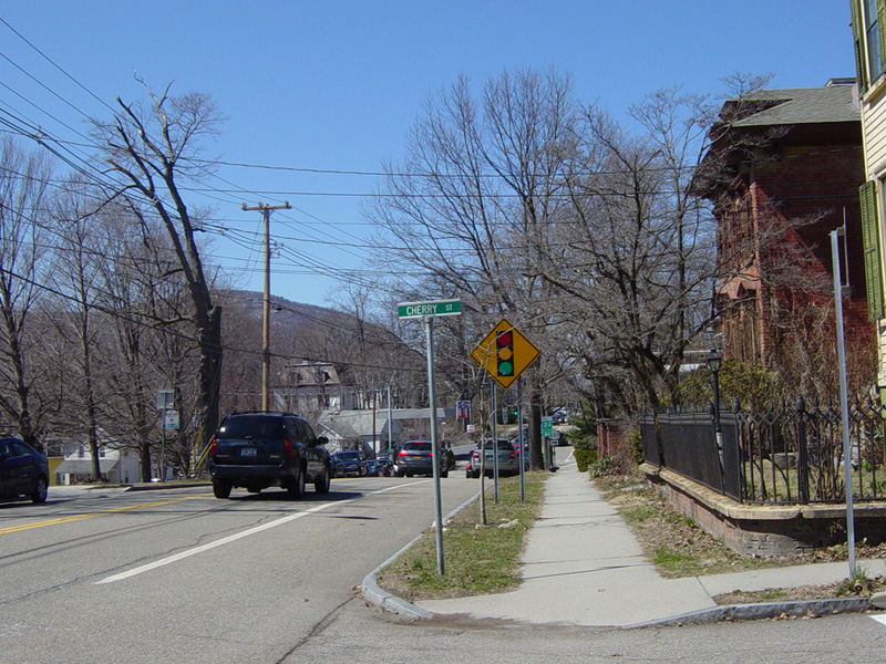
Heading out of town, the Hudson Line of the Metro-North Railroad is on the left. NY 9D continues north toward Dutchess County.
Photos taken April 2017.
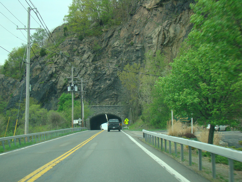
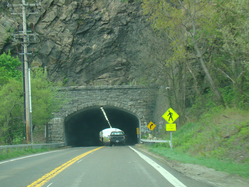
There is a short mountain tunnel, the only one for cars in New York State, at the county line.
Photos taken April 2017.