
West Road, Main Street, Molly Stark Trail, Marlboro Road, Western Avenue, High Street, Putney Road, Chesterfield Road
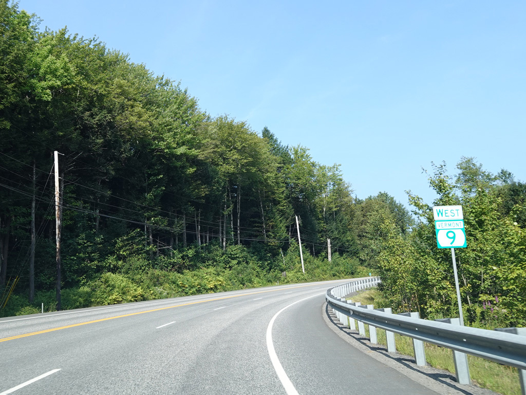
Westbound Views
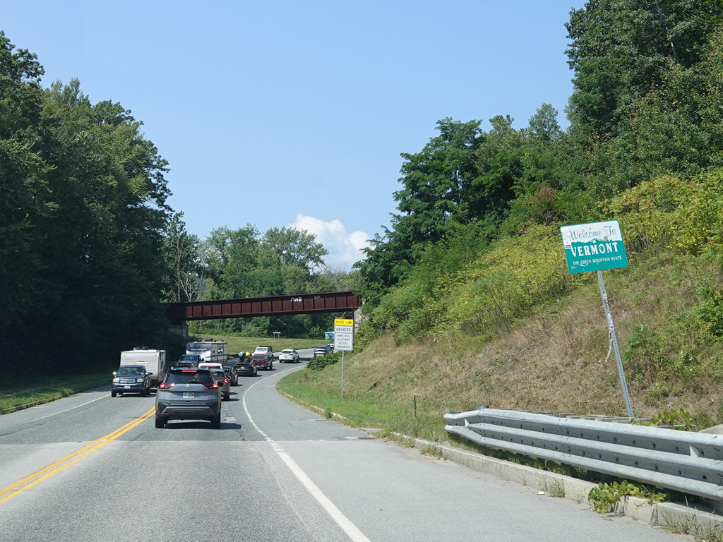
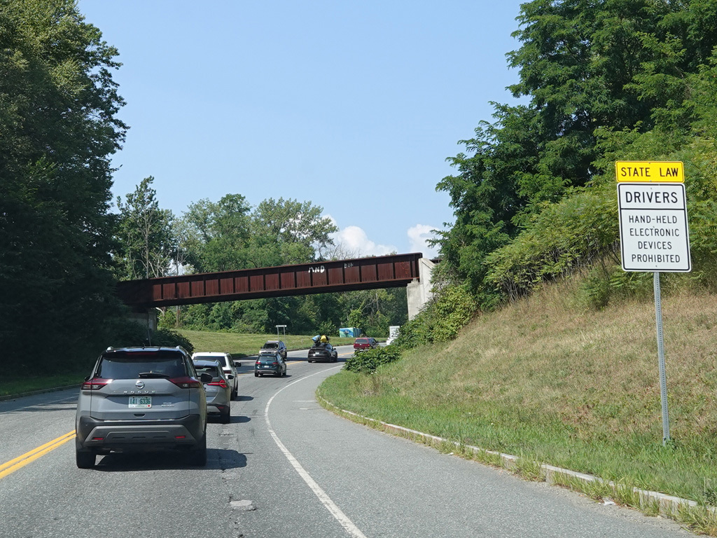
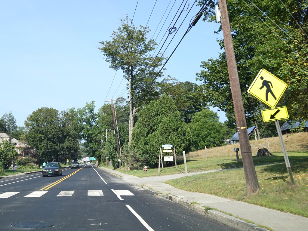
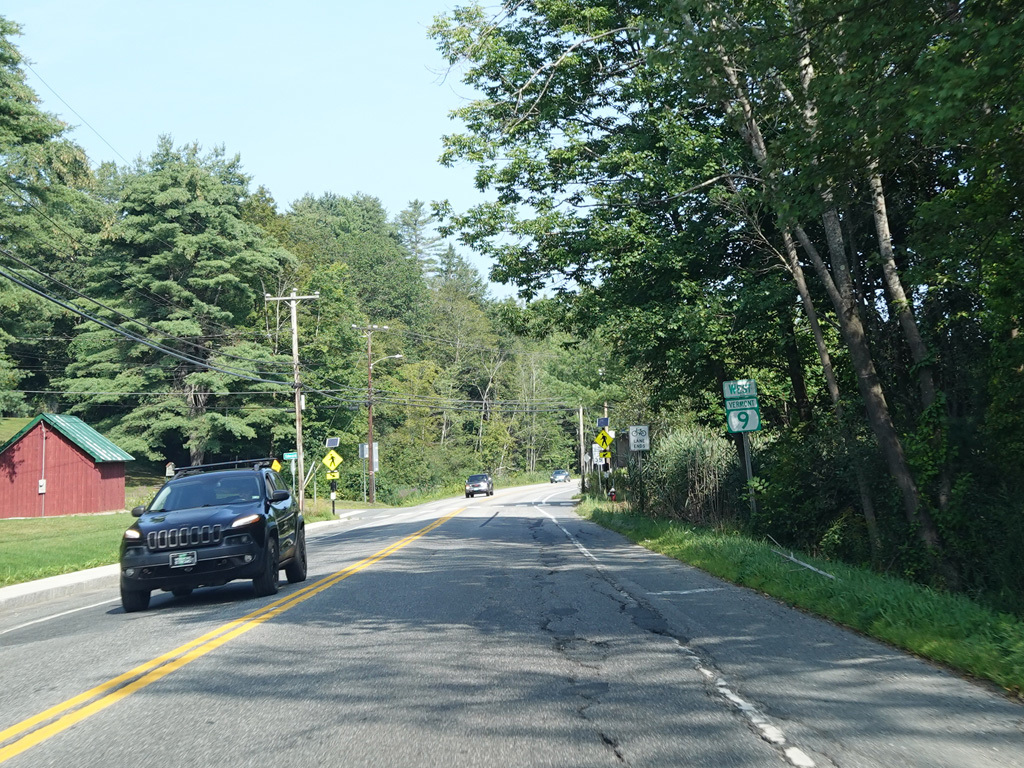
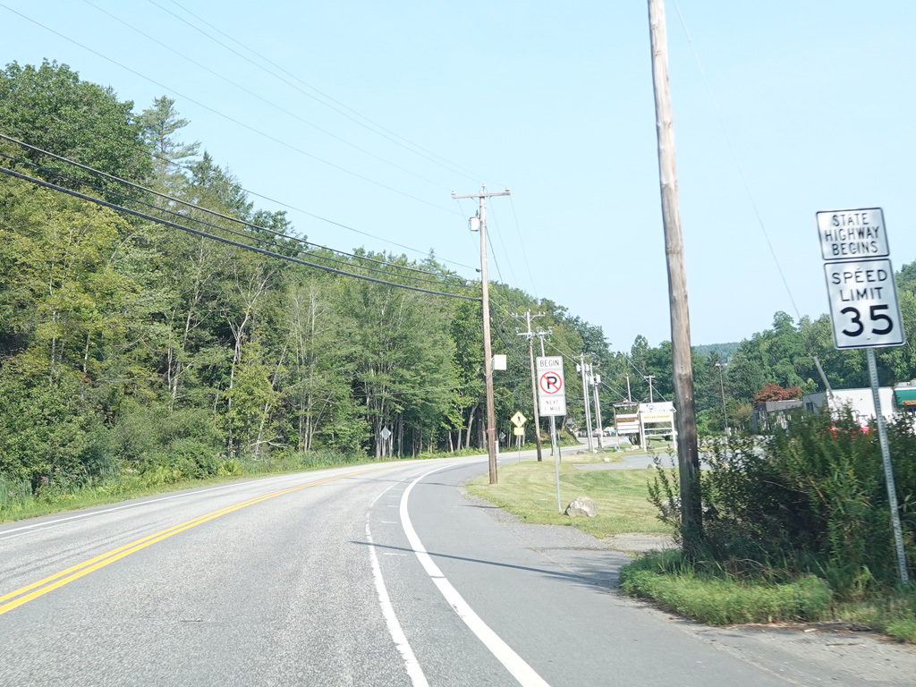
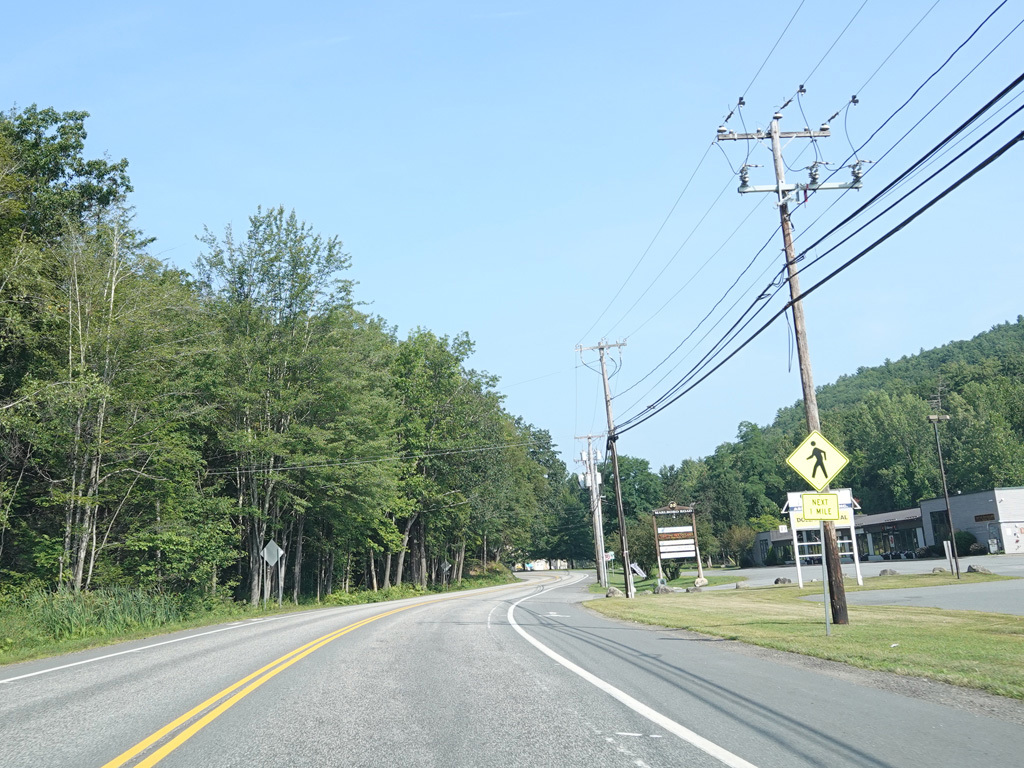
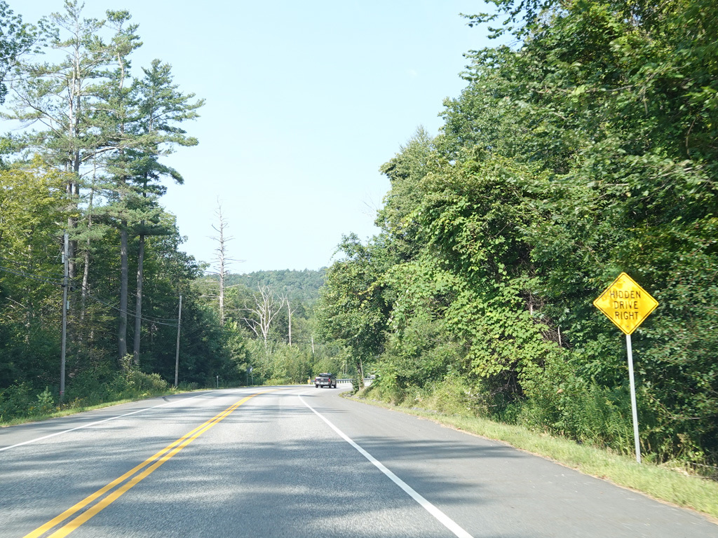
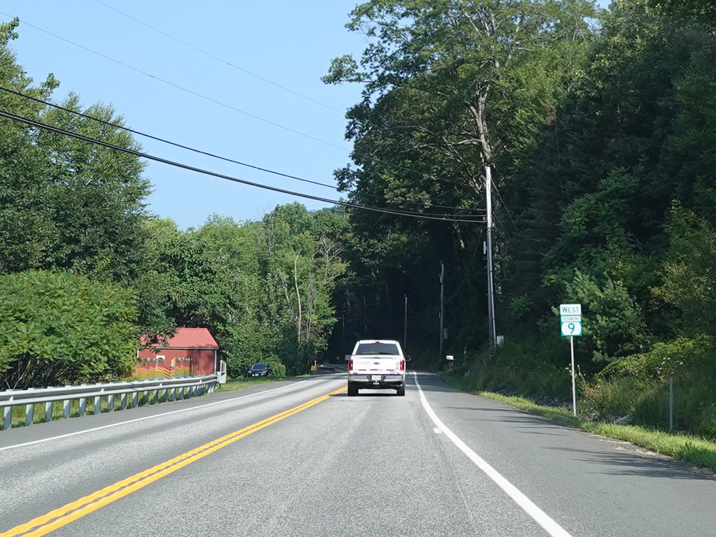
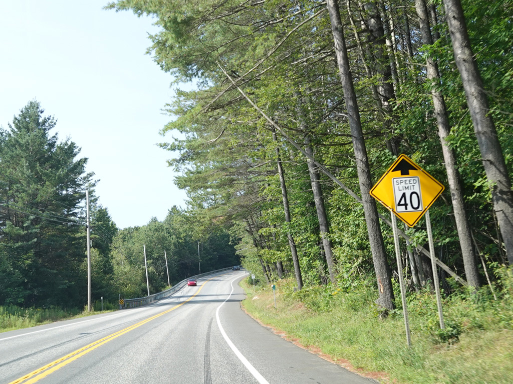
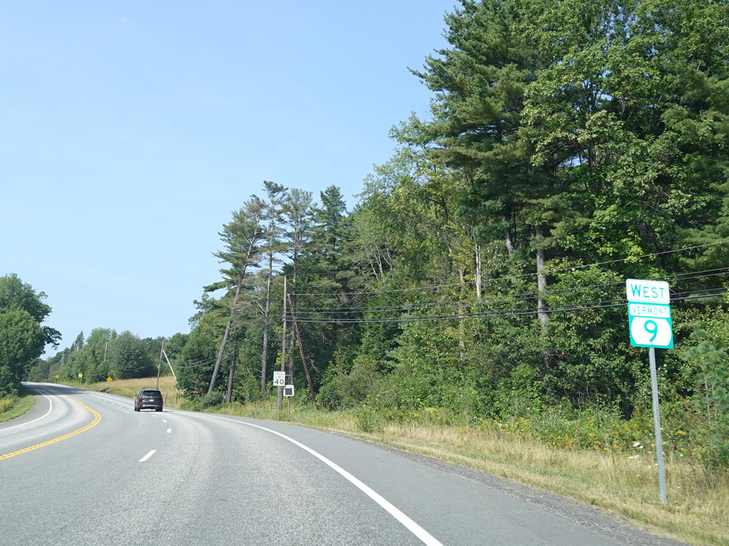
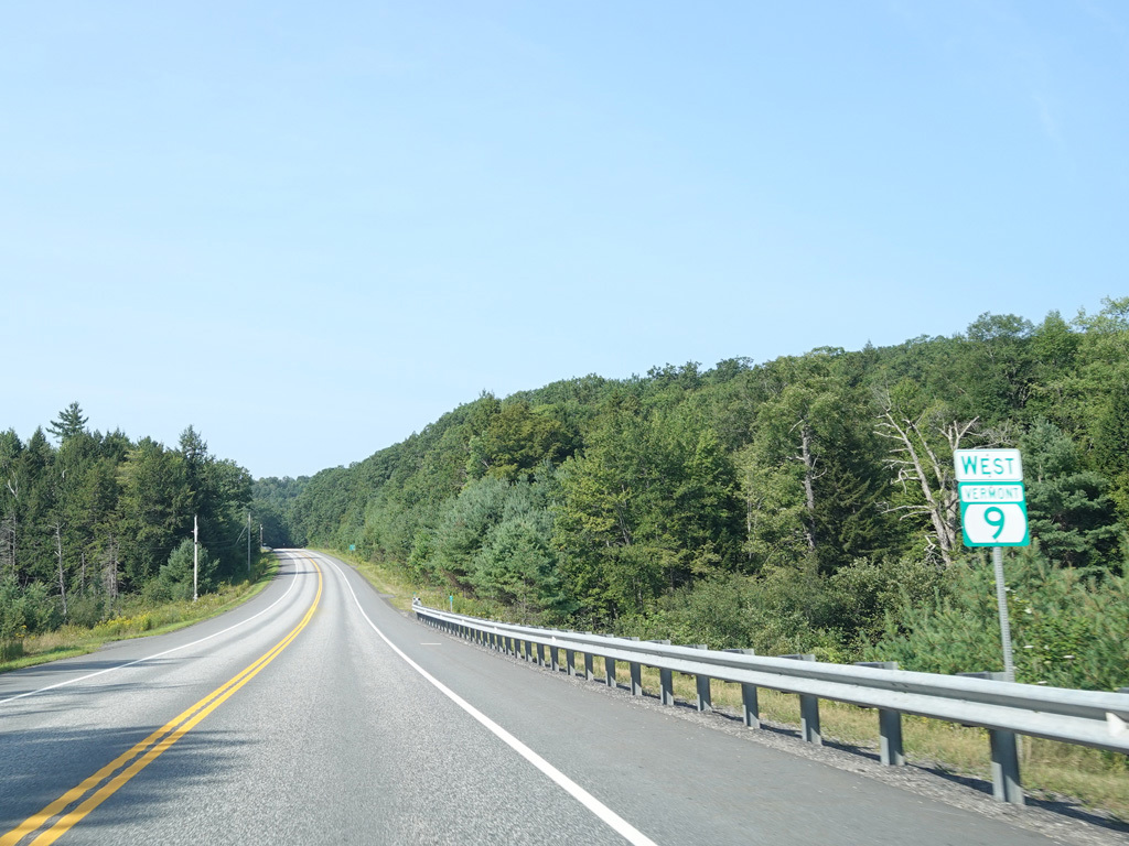
Welcome to Vermont! Franklin Pierce Highway (NH 9) becomes Chesterfield Road upon crossing the state line.
Photos taken August 2025.
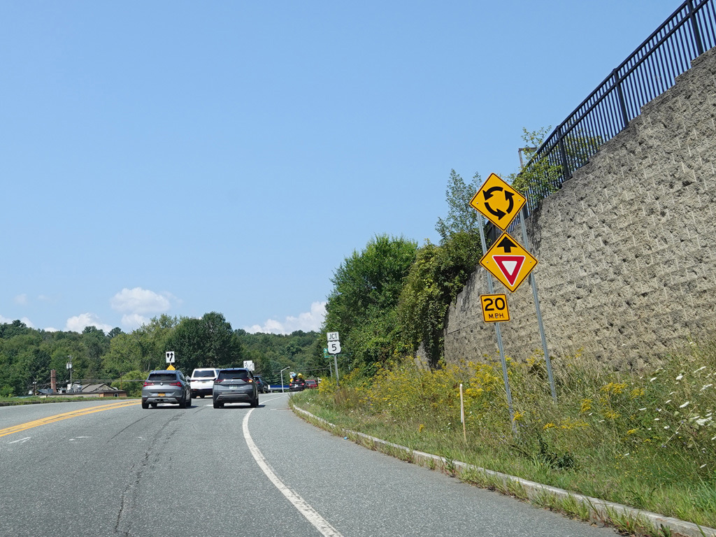
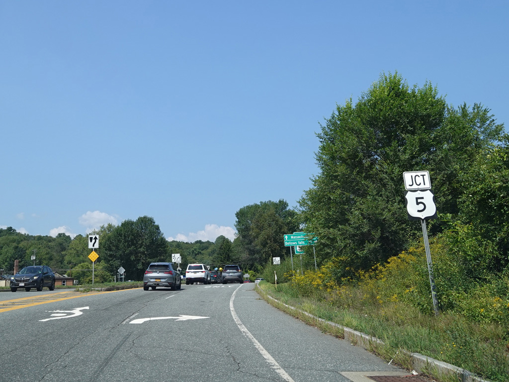
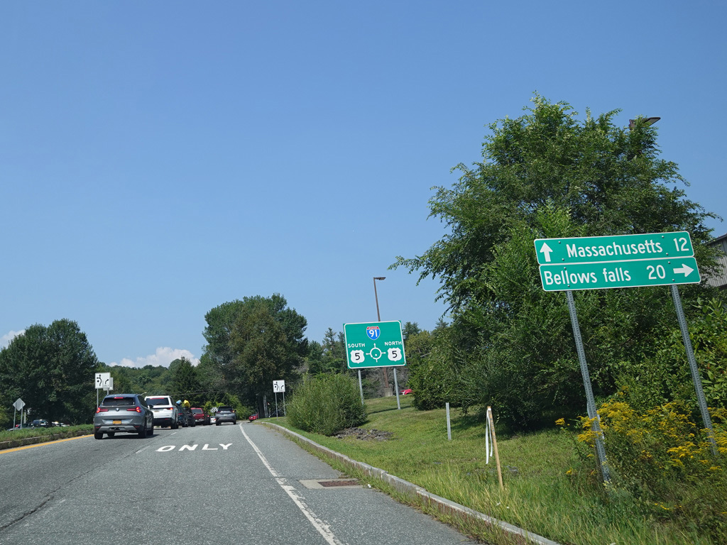
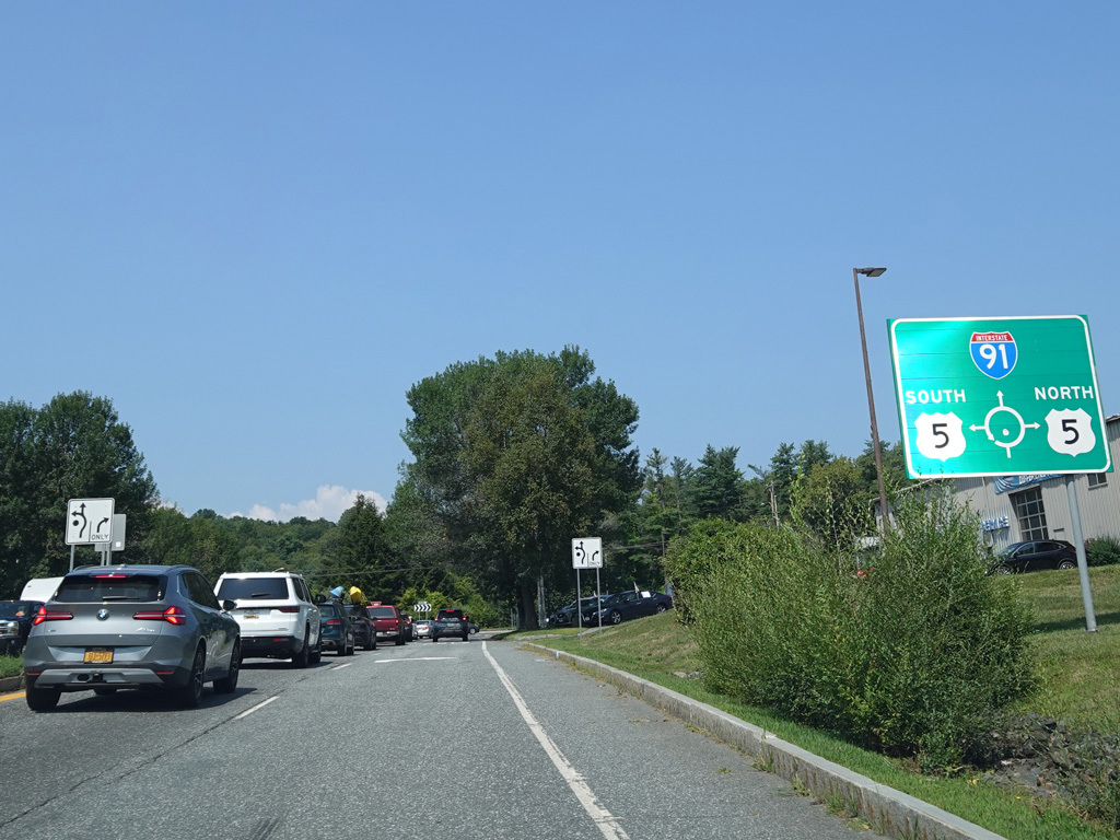
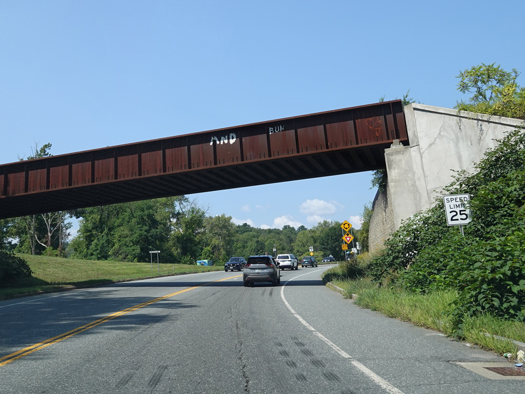
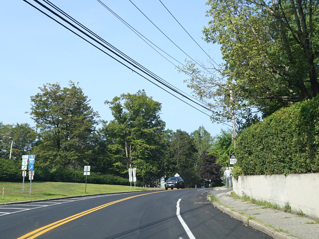
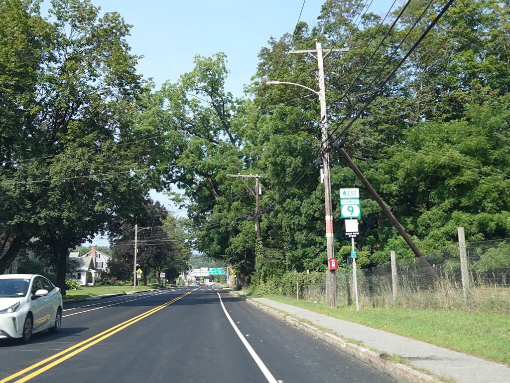
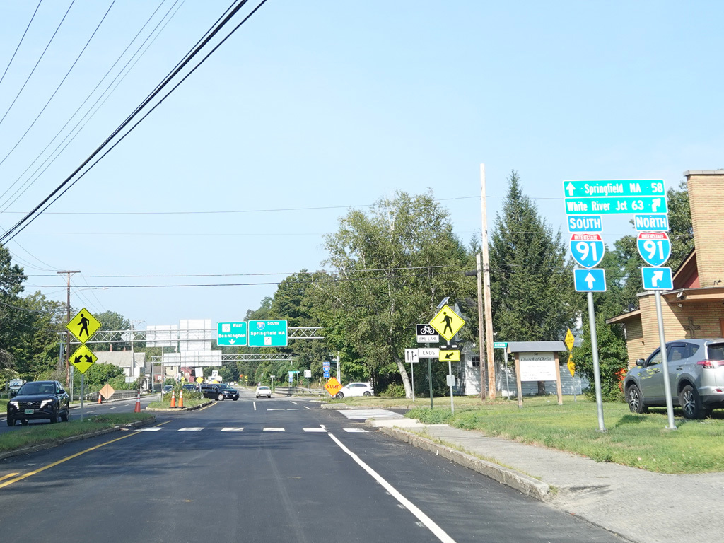
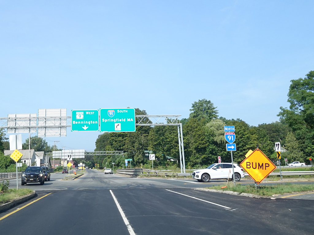
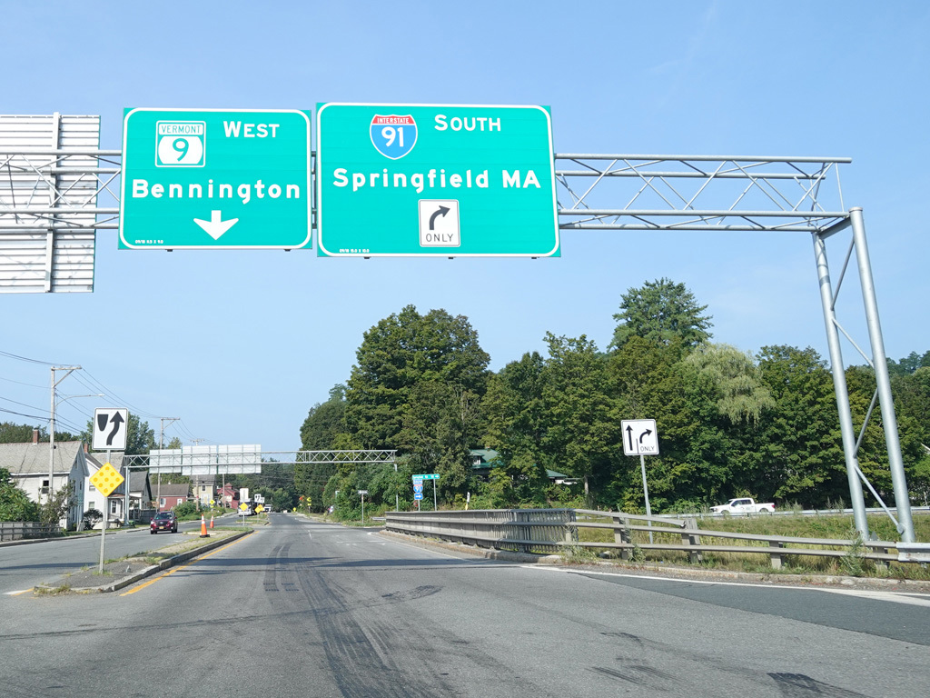
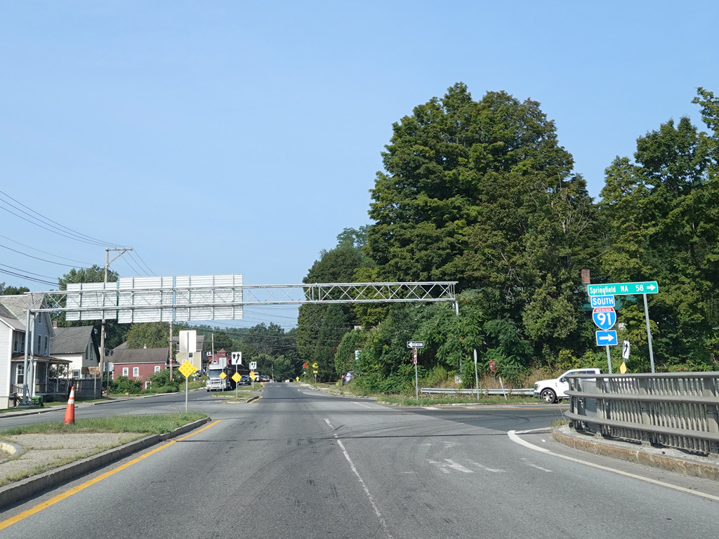
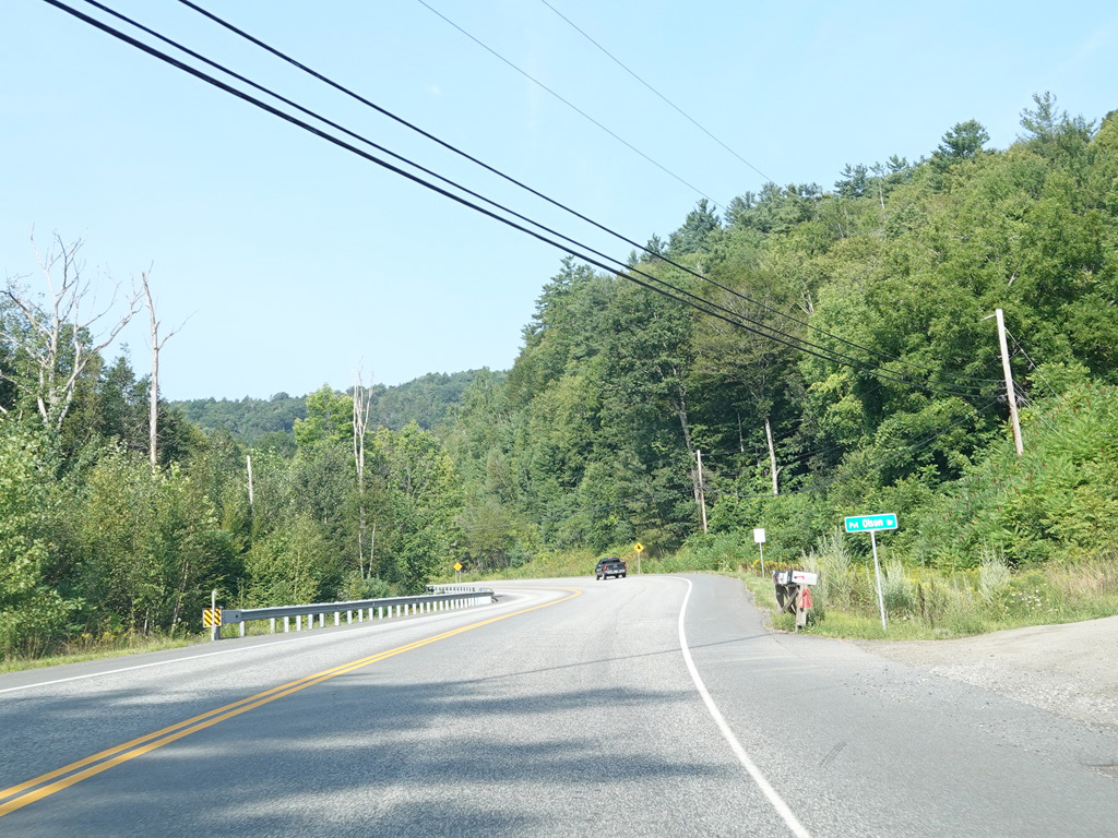
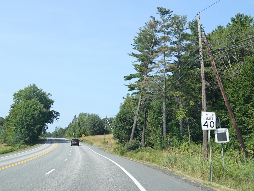
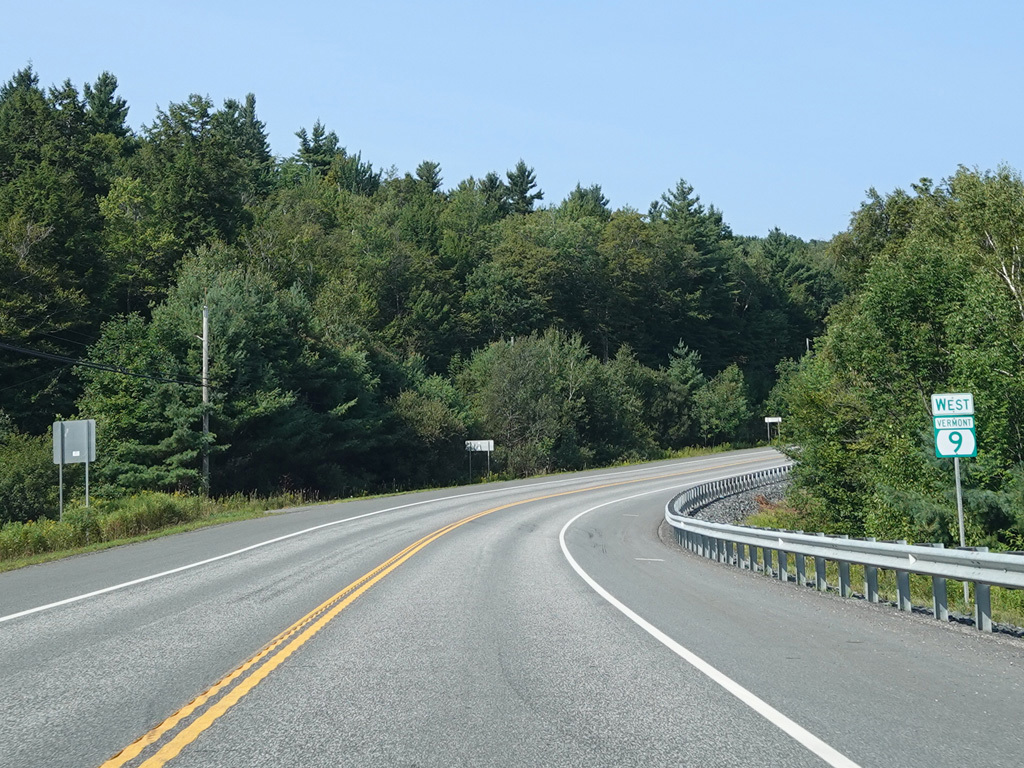
Chesterfield Road ends at a roundabout at Putney Road (US 5). There is also access to I-91 straight ahead. VT 9 follows US 5 south for a couple of miles beginning here.
Photos taken August 2025.
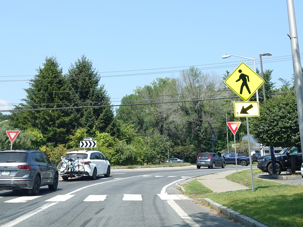
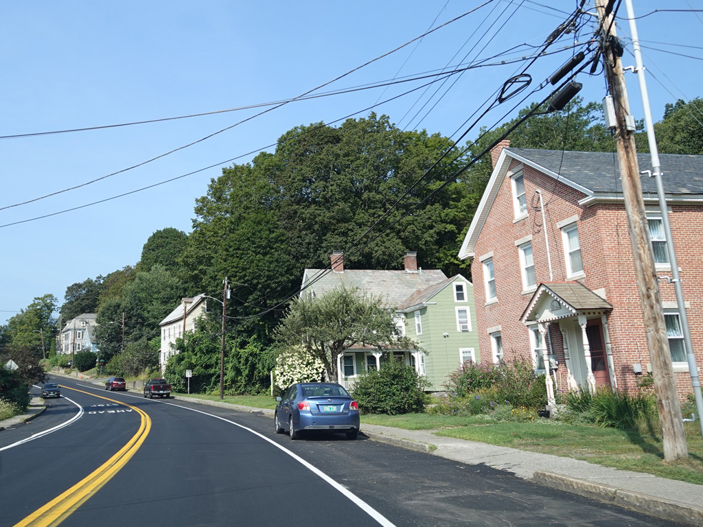
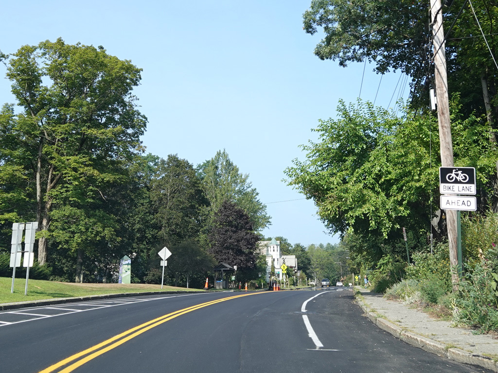
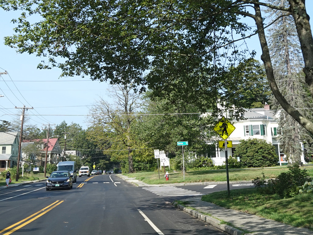
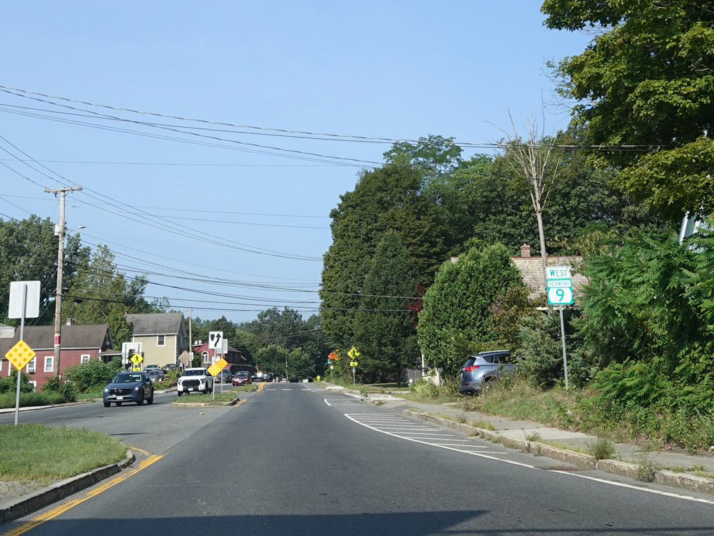
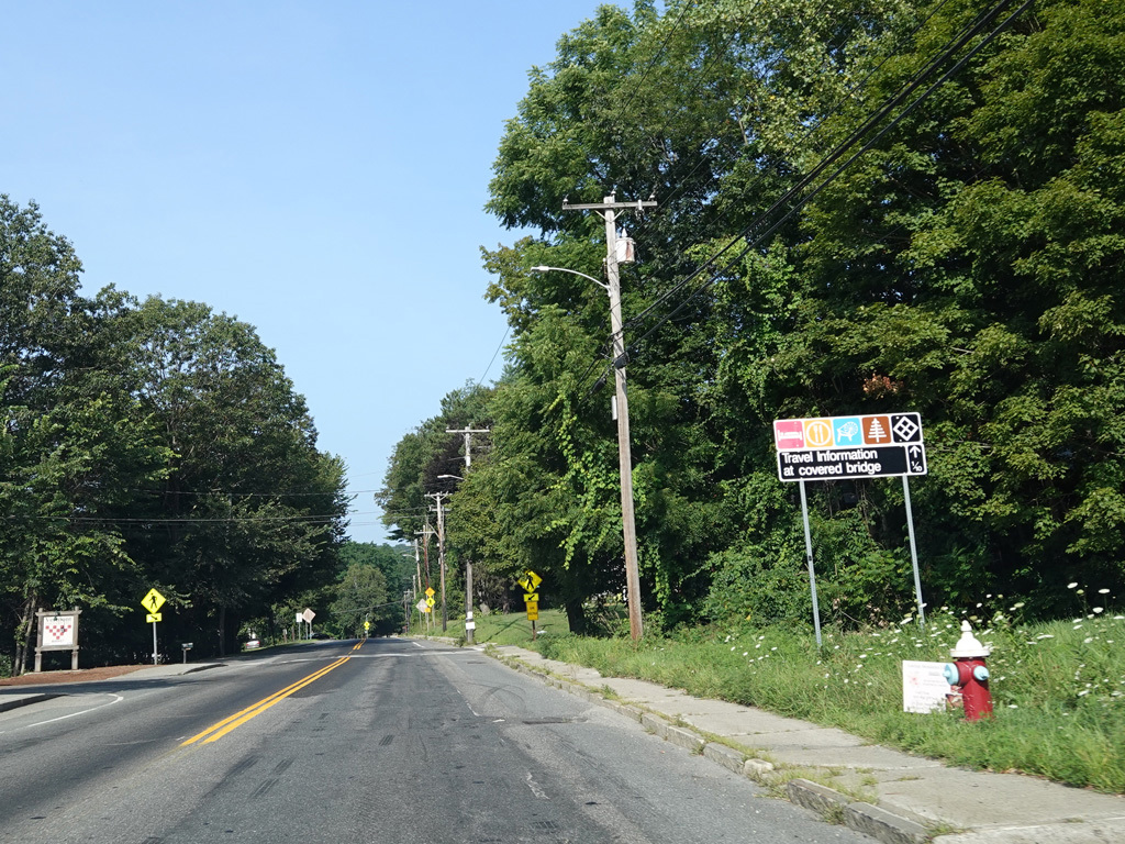
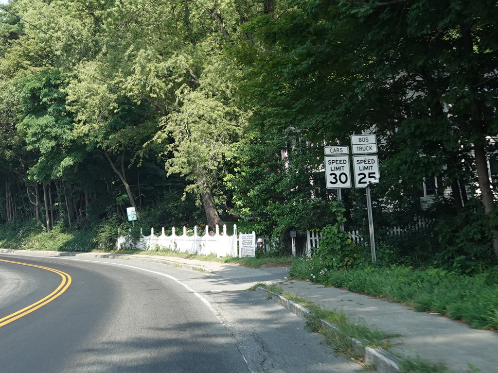
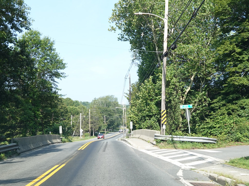
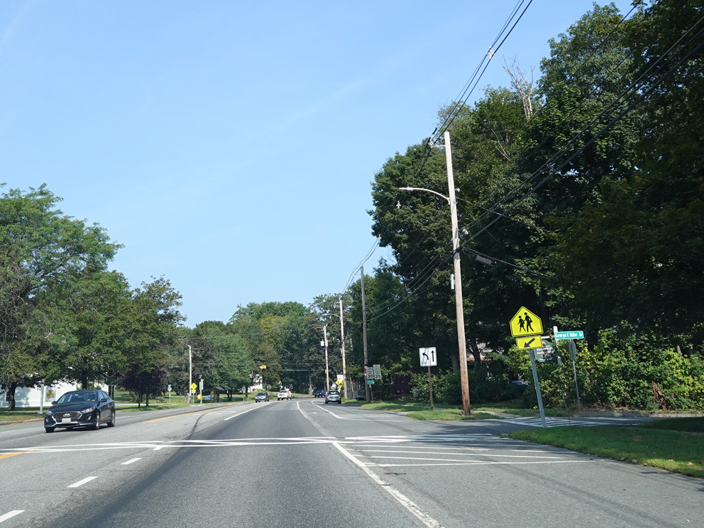
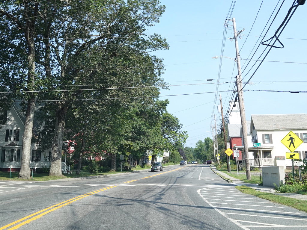
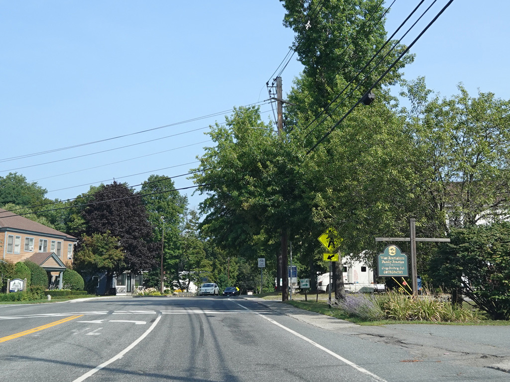
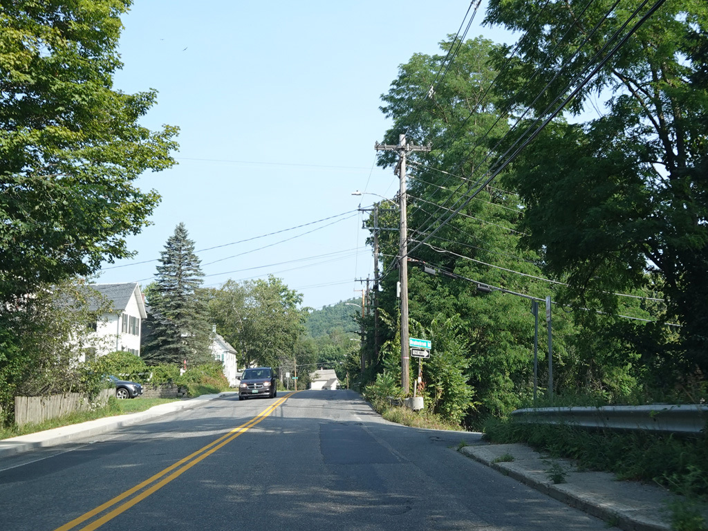
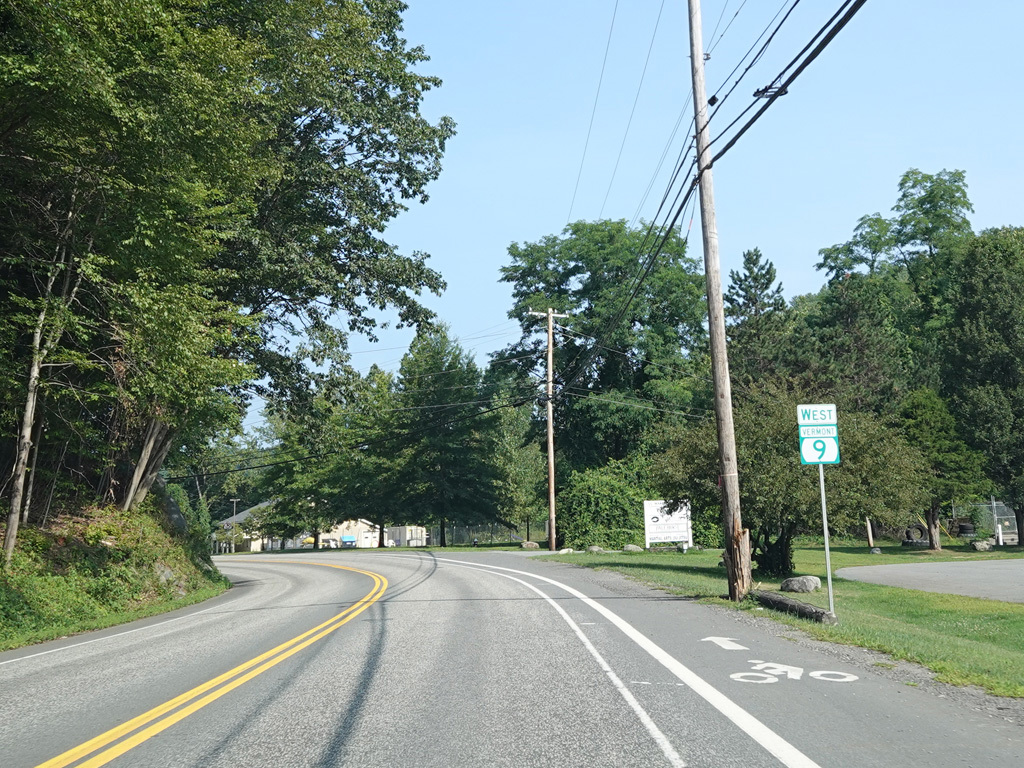
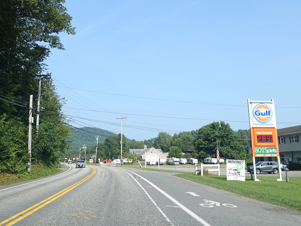
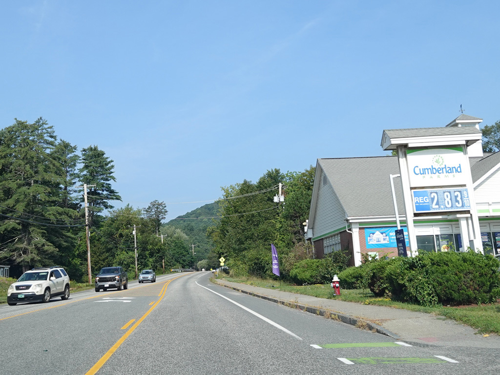
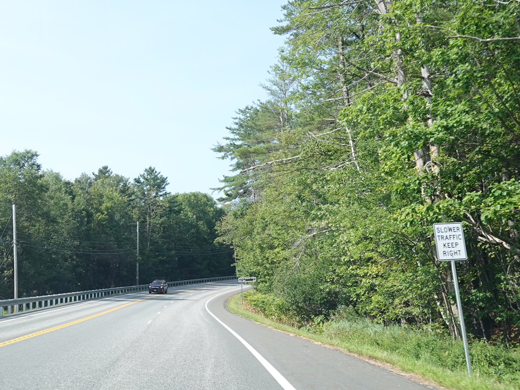
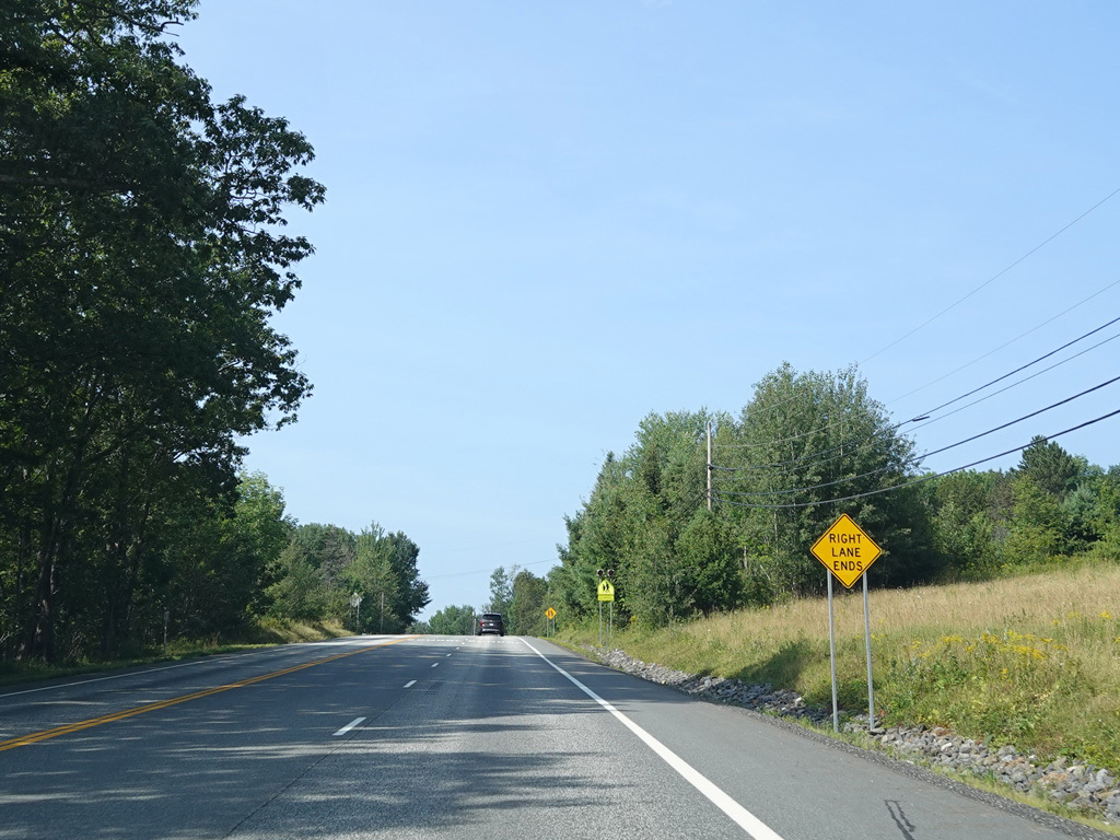
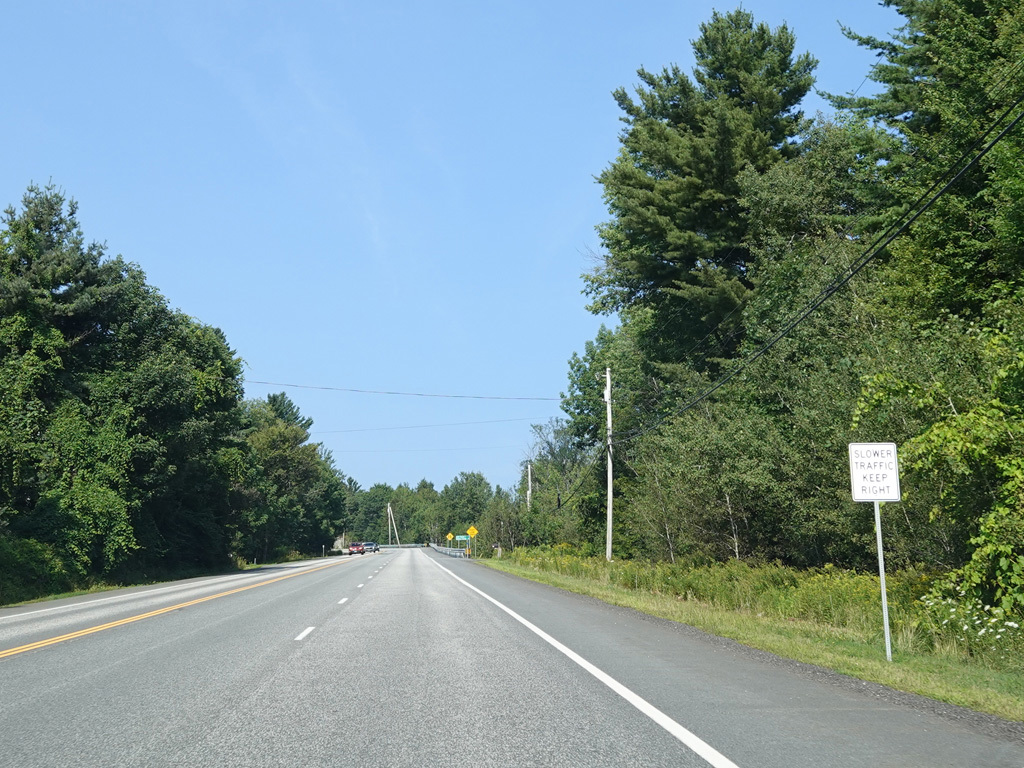
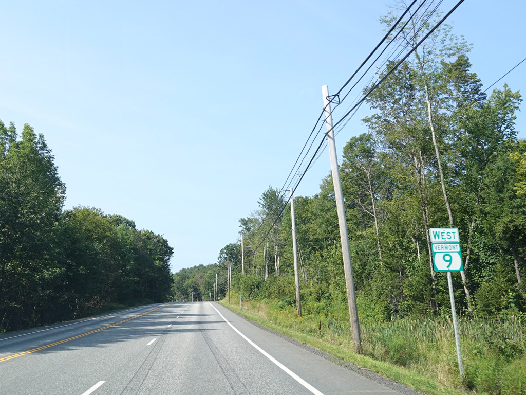
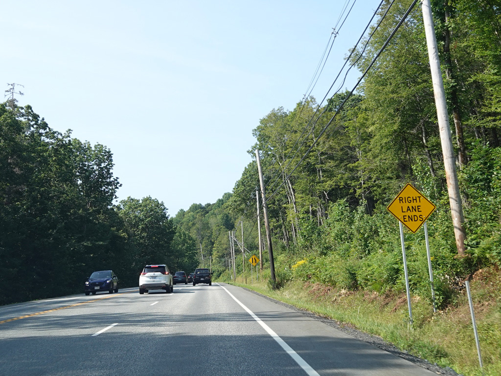
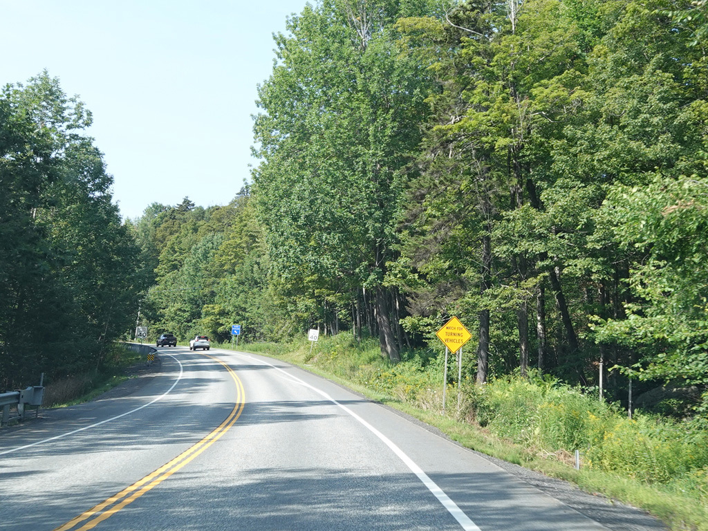
VT 9 follows US 5 south along Putney Road and Main Street through Brattleboro.
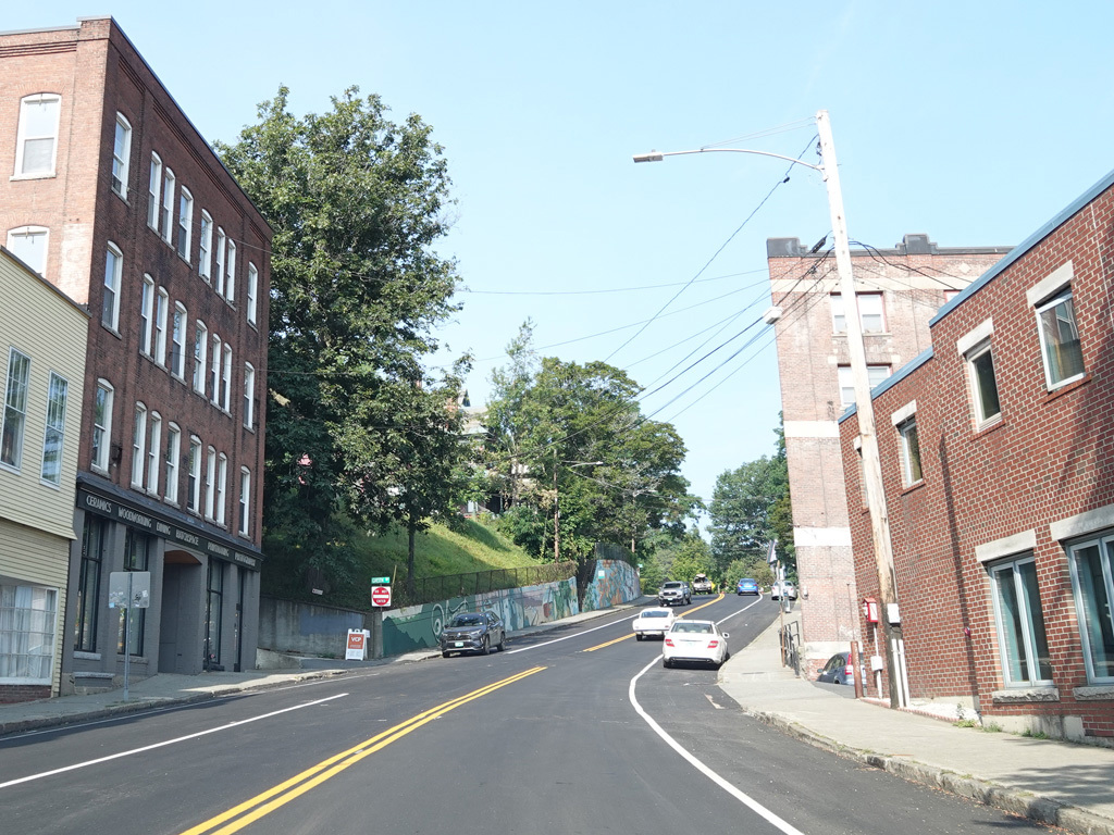
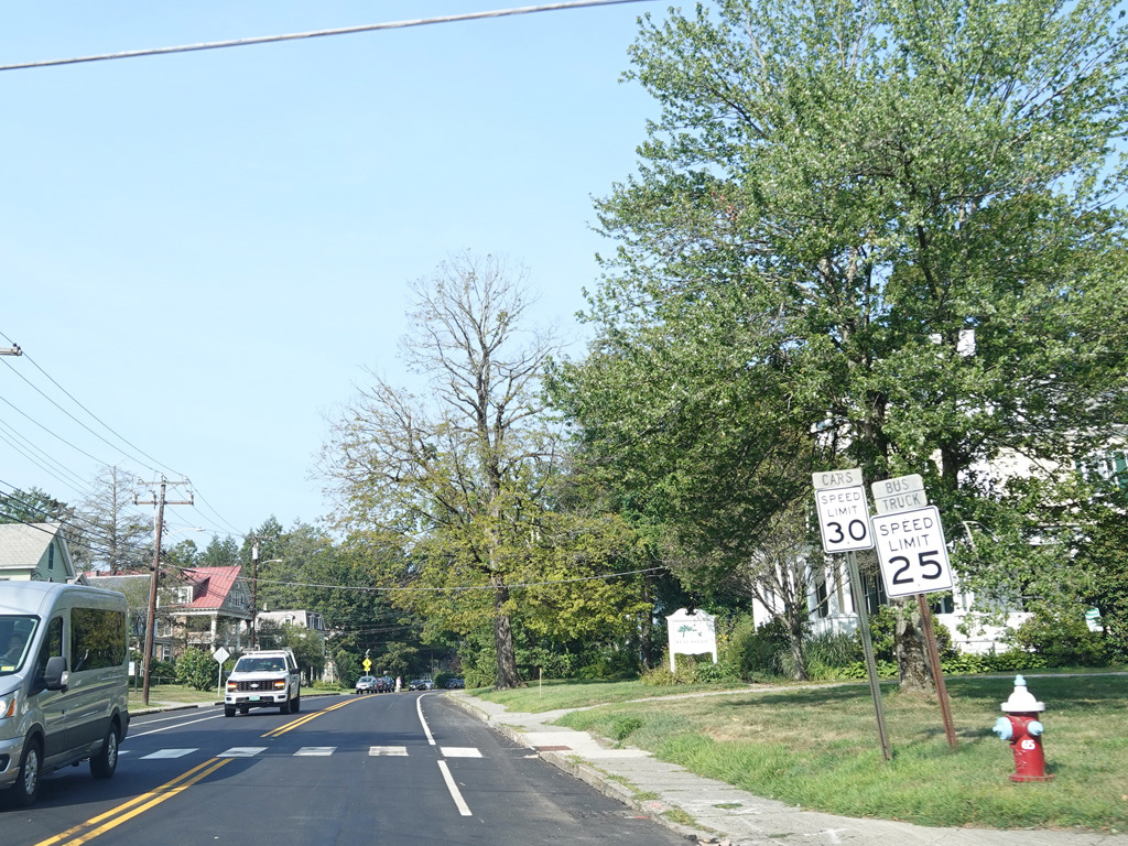
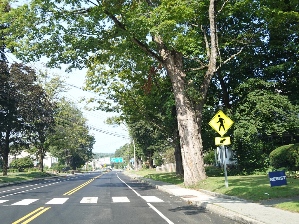
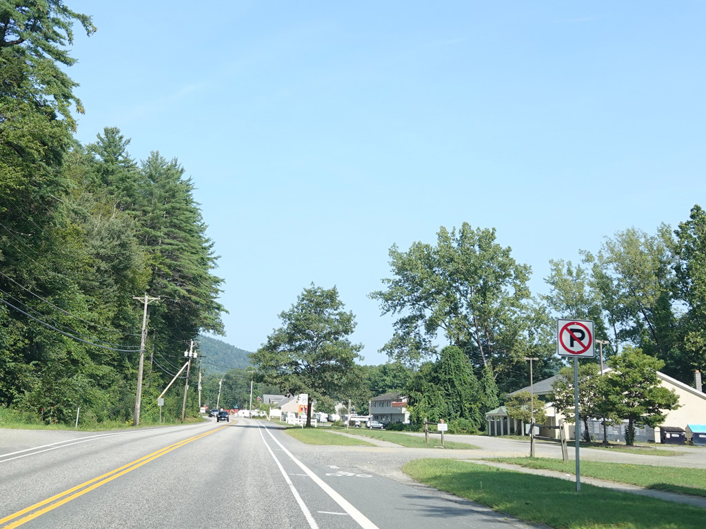
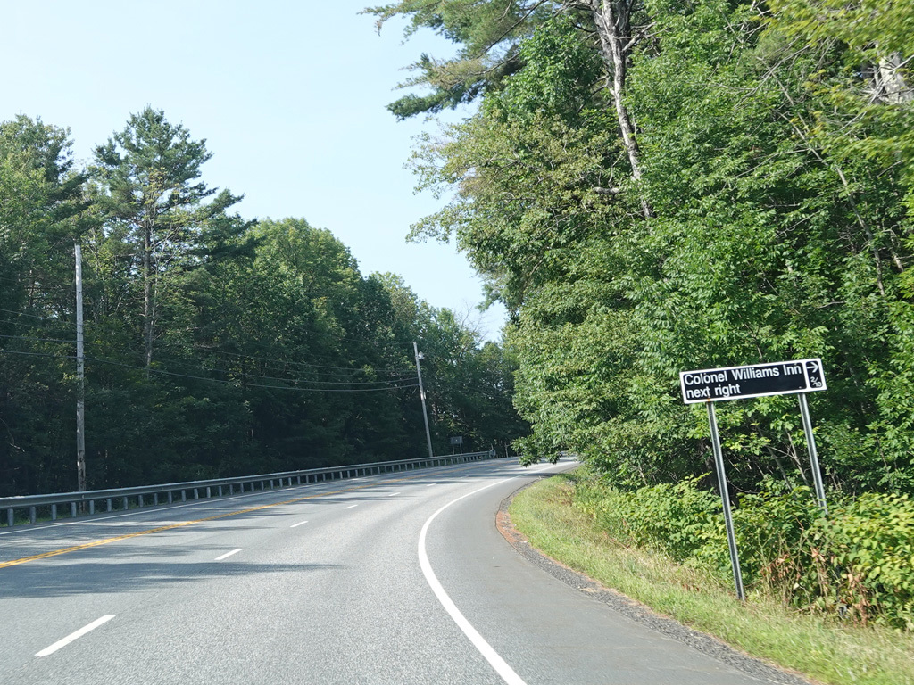
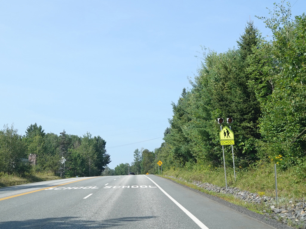
After a couple of miles, VT 9 splits off from Main Street (US 5) and runs west as a two-lane undivided road. Here, it is known as High Street.
Photo taken August 2025.
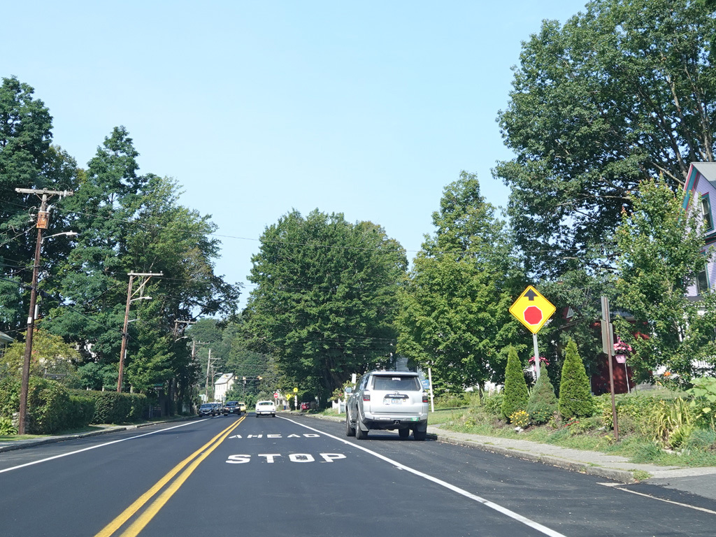
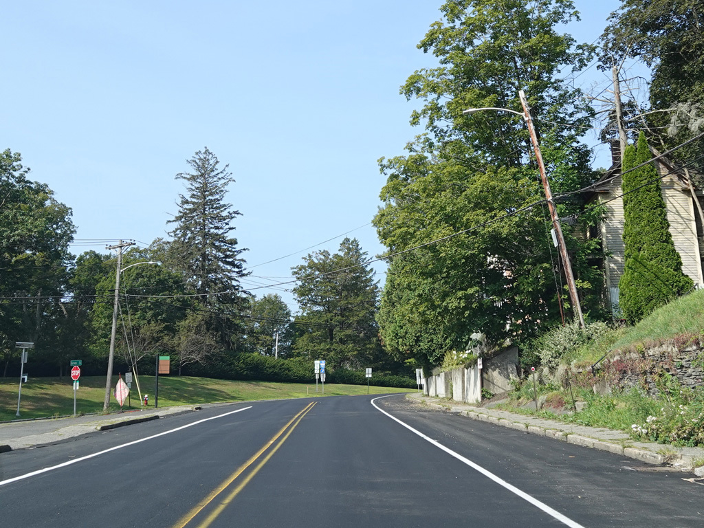
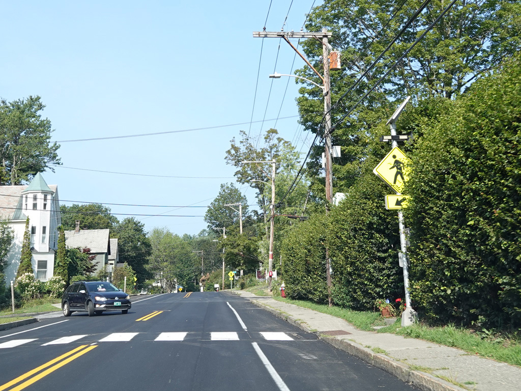
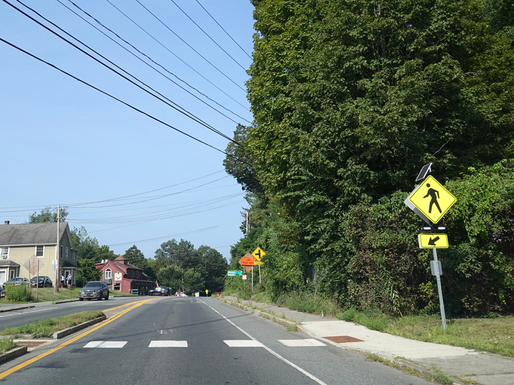
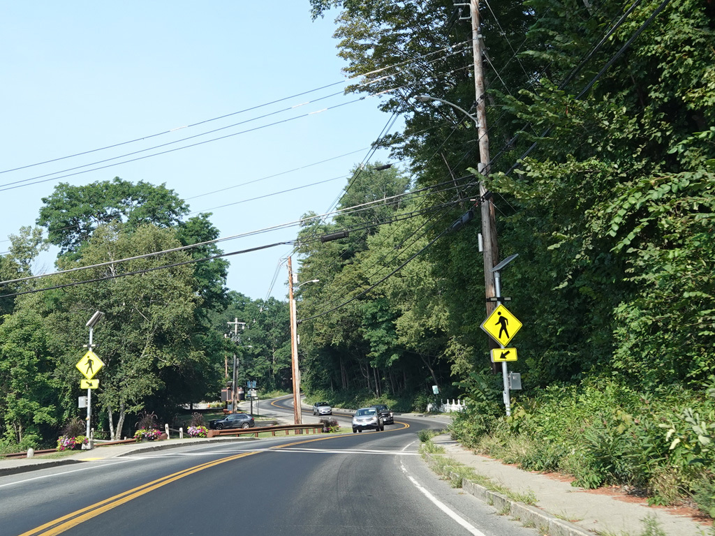
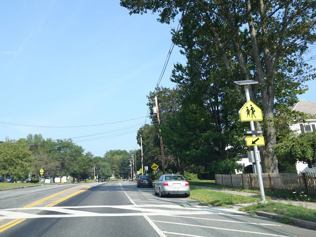
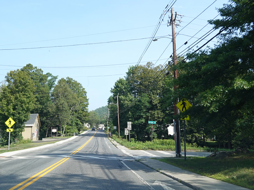
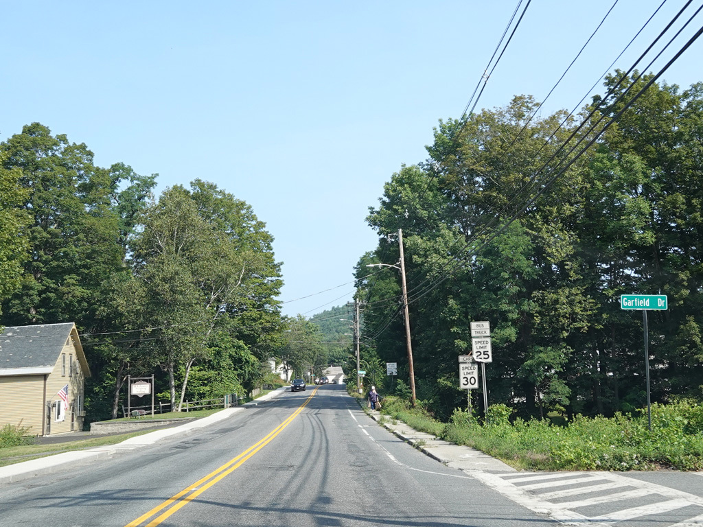
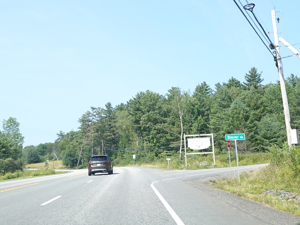
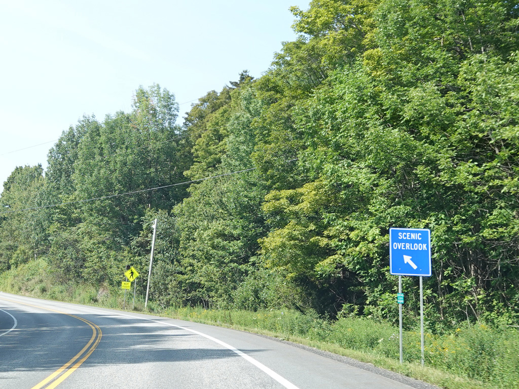
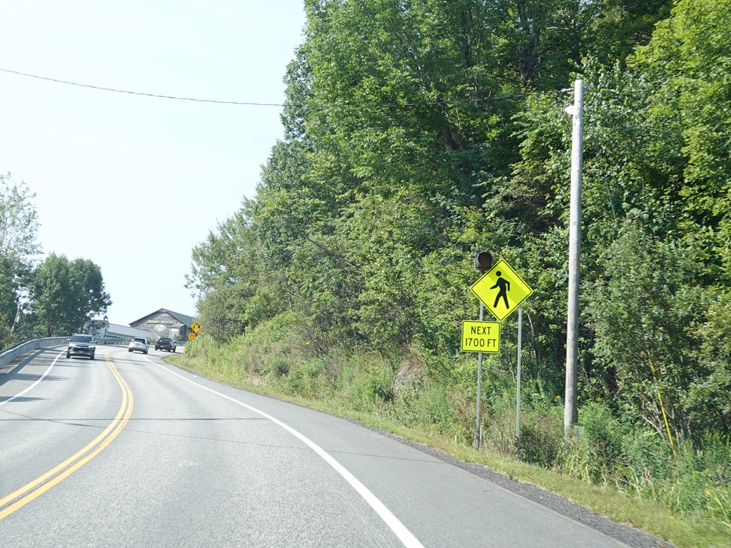
There is a stop sign at Oak Street and Whipple Street.
Photos taken August 2025.
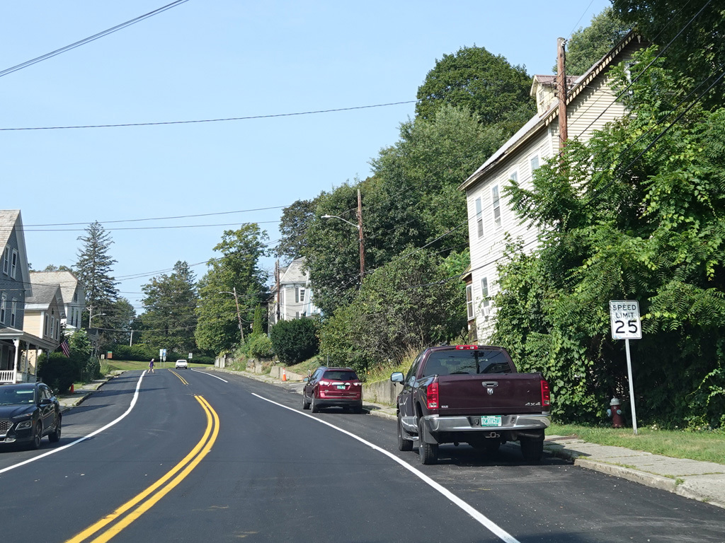
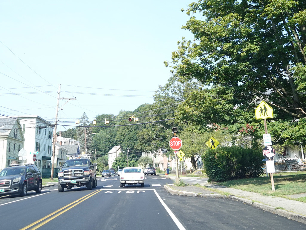
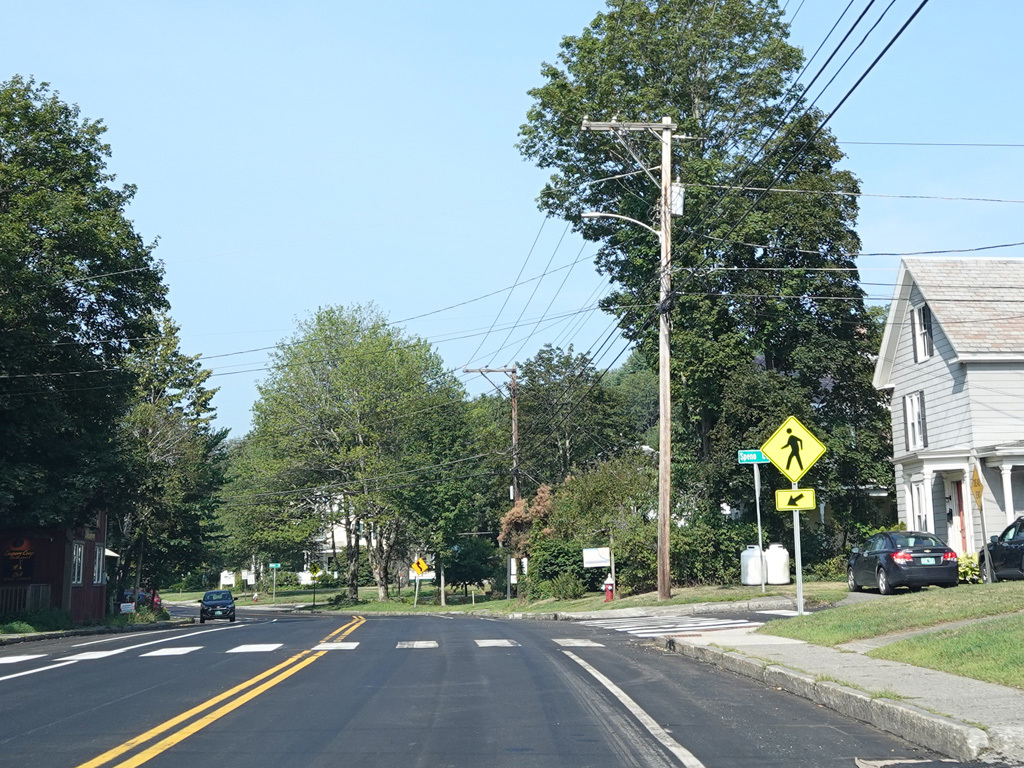
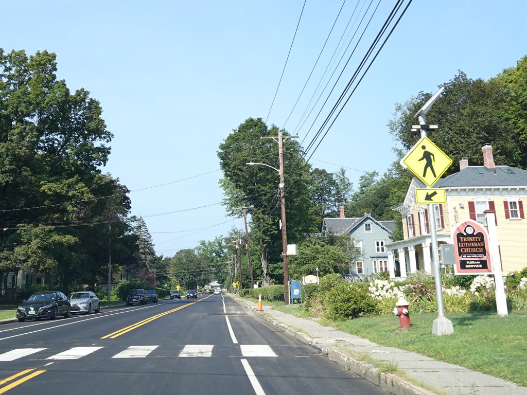
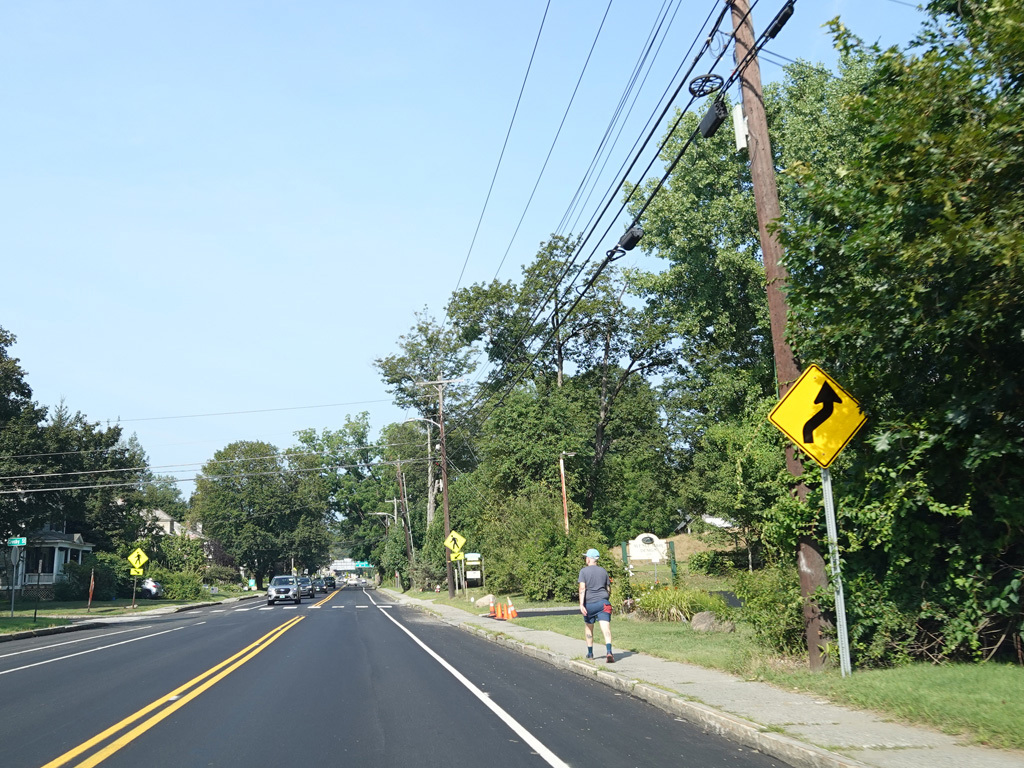
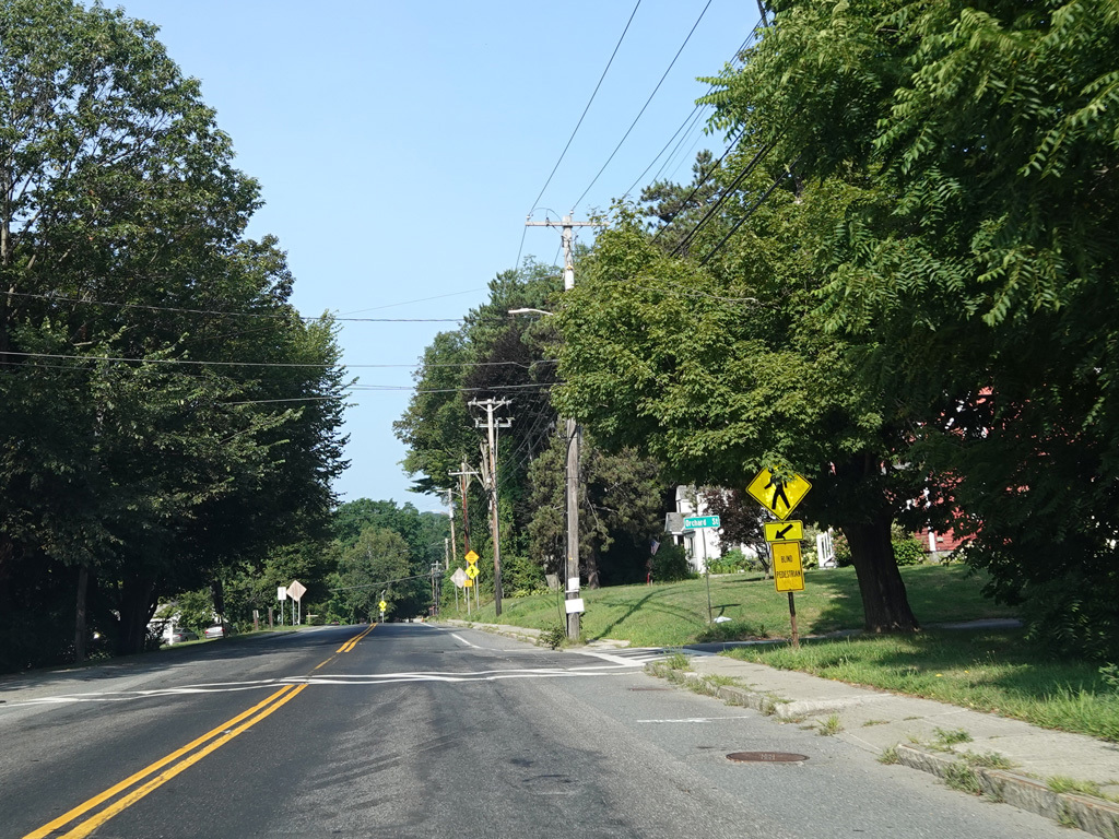
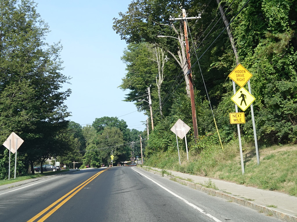
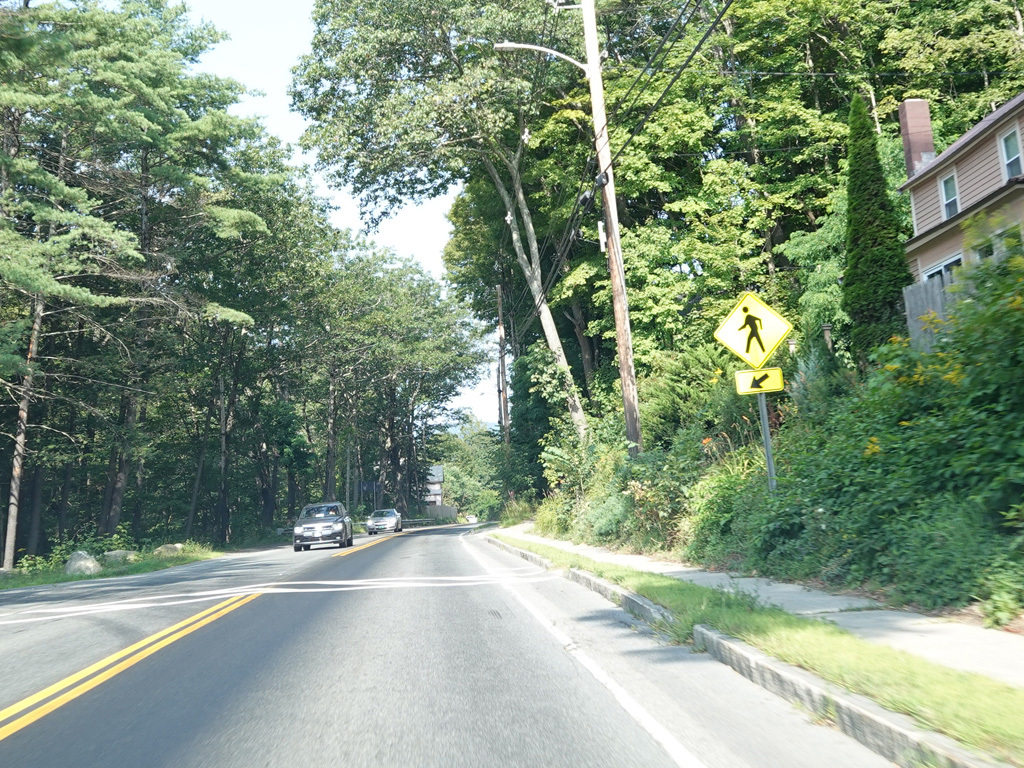
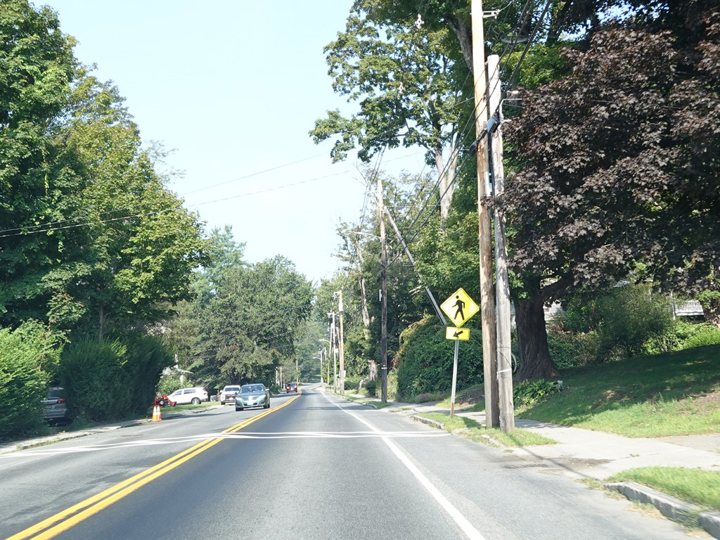
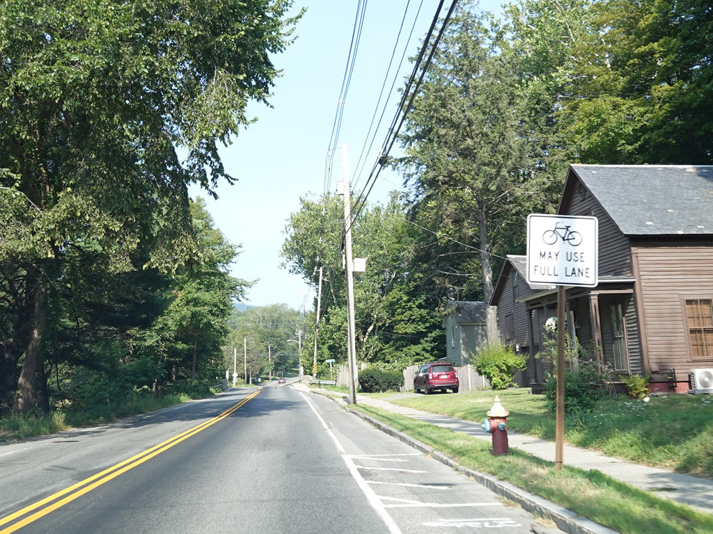
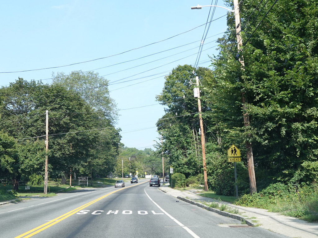
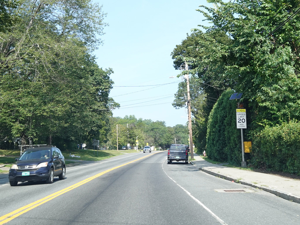
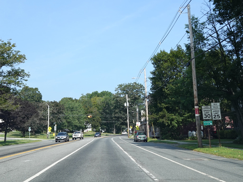
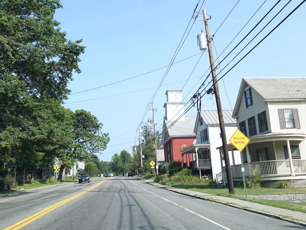
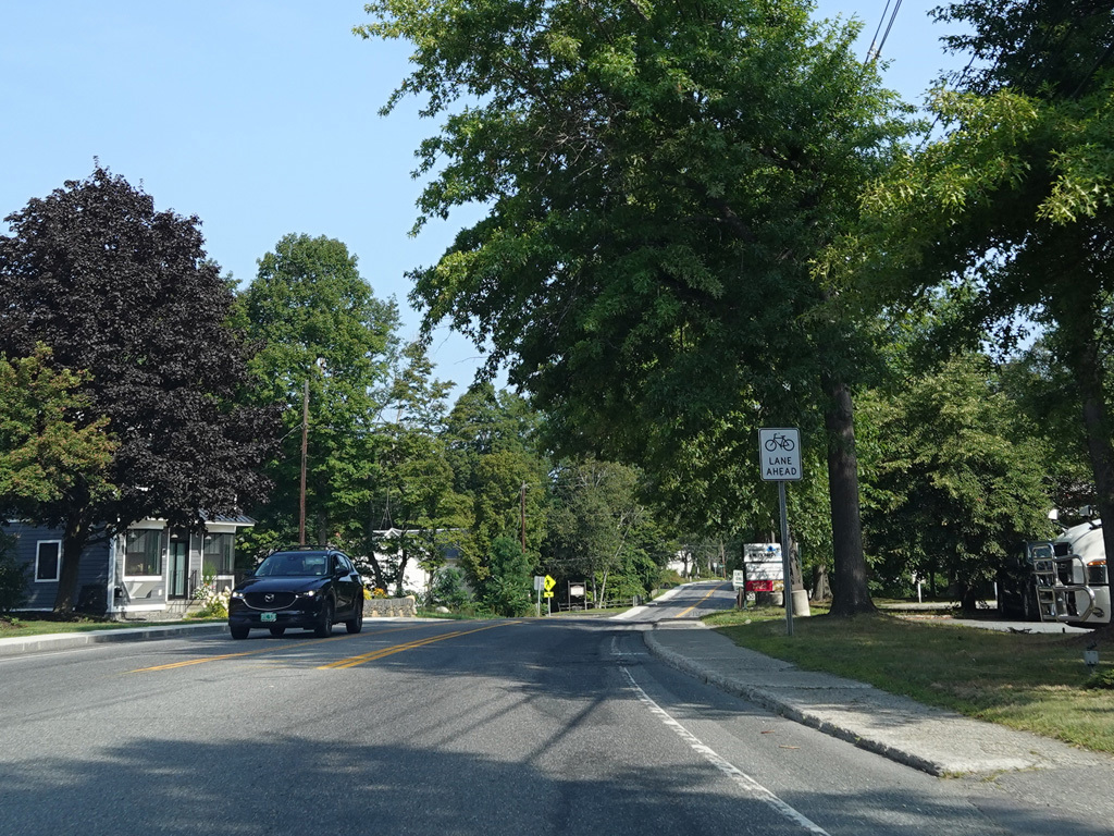
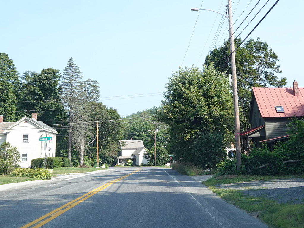
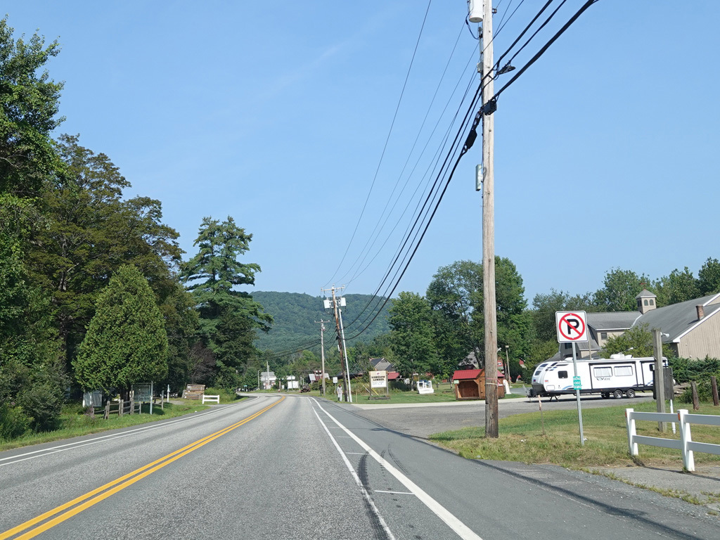
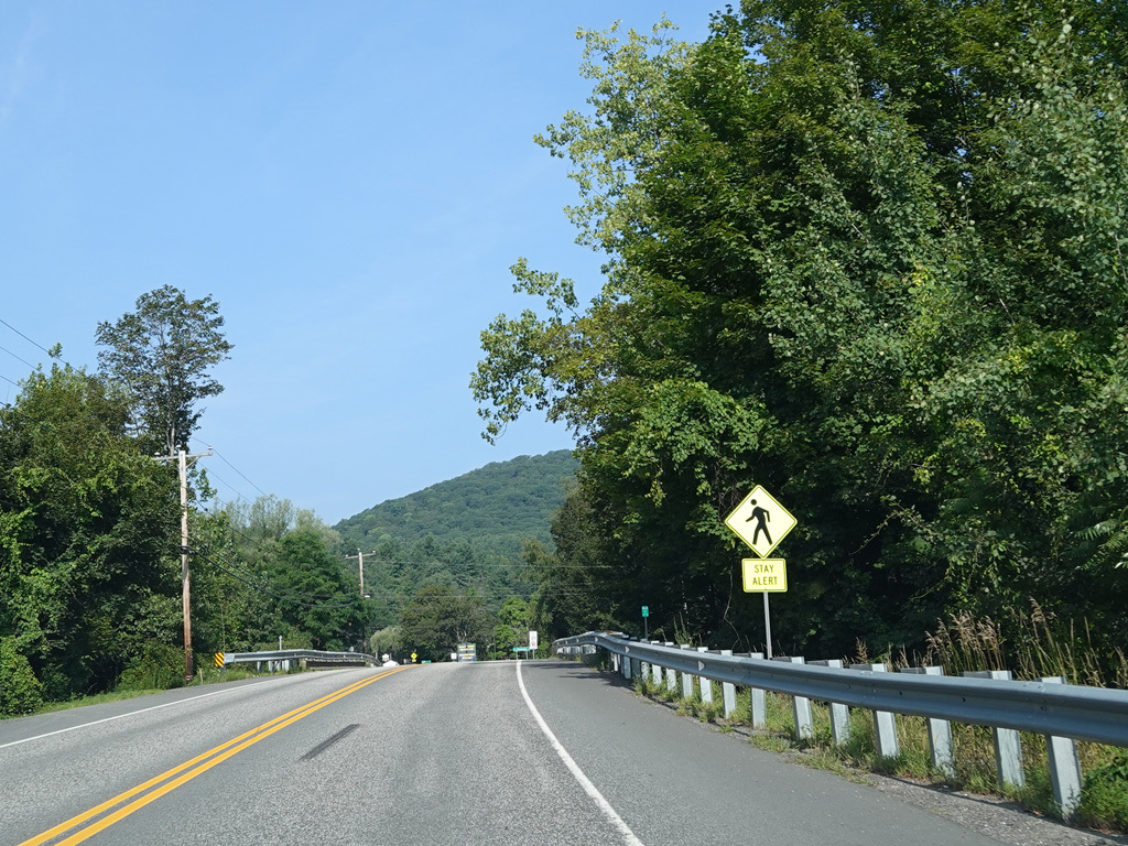
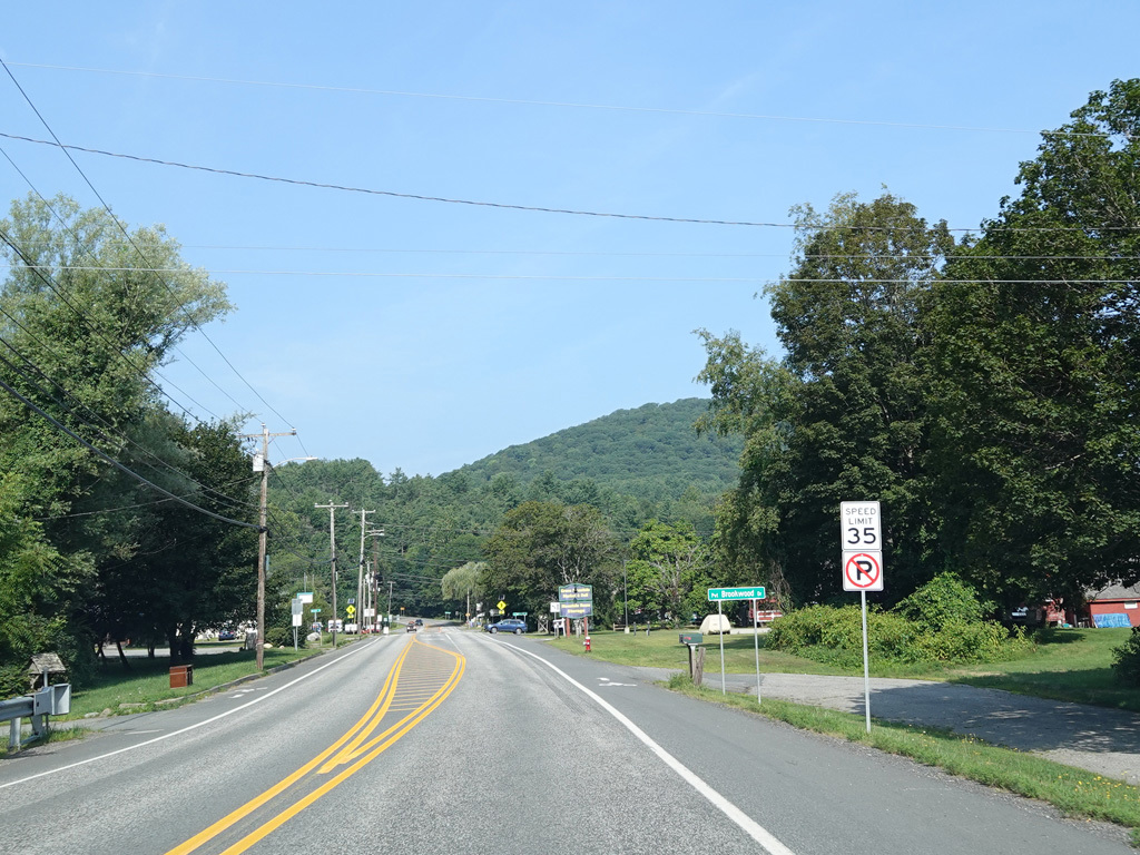
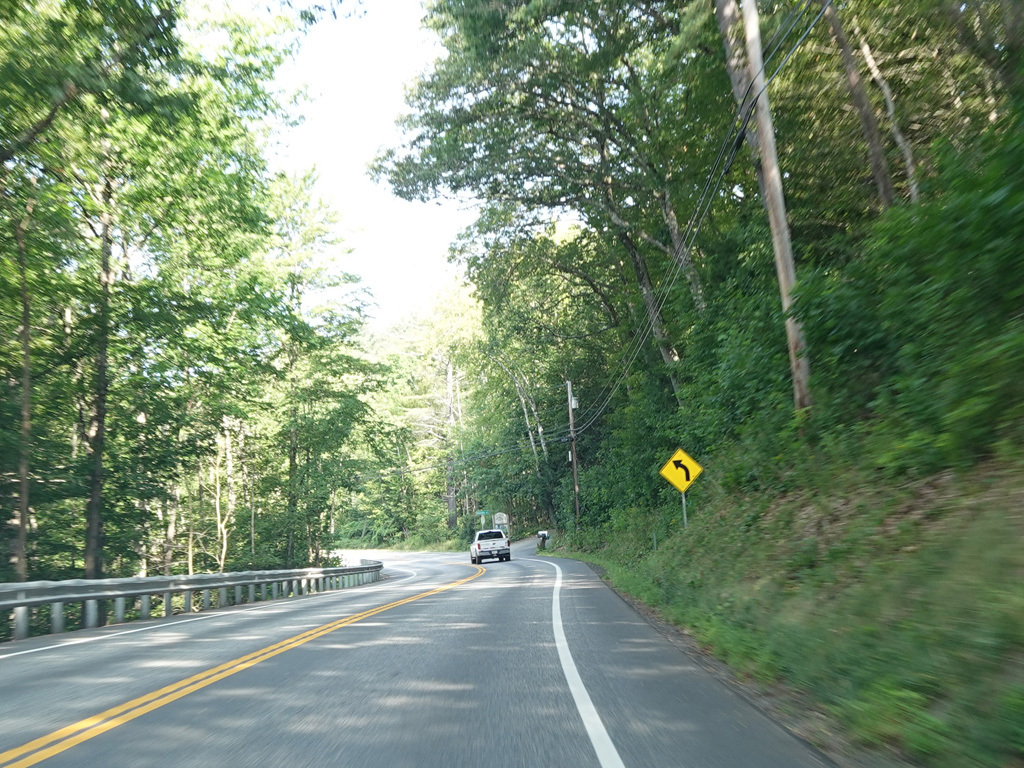
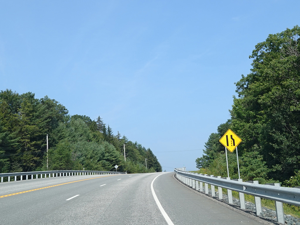
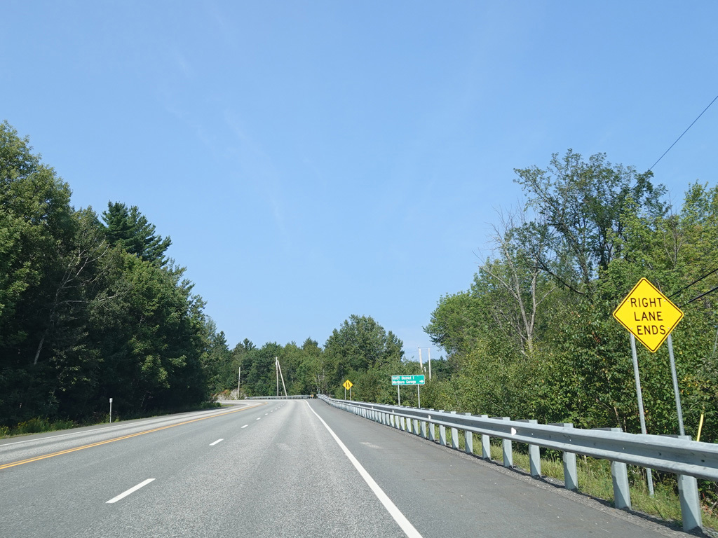
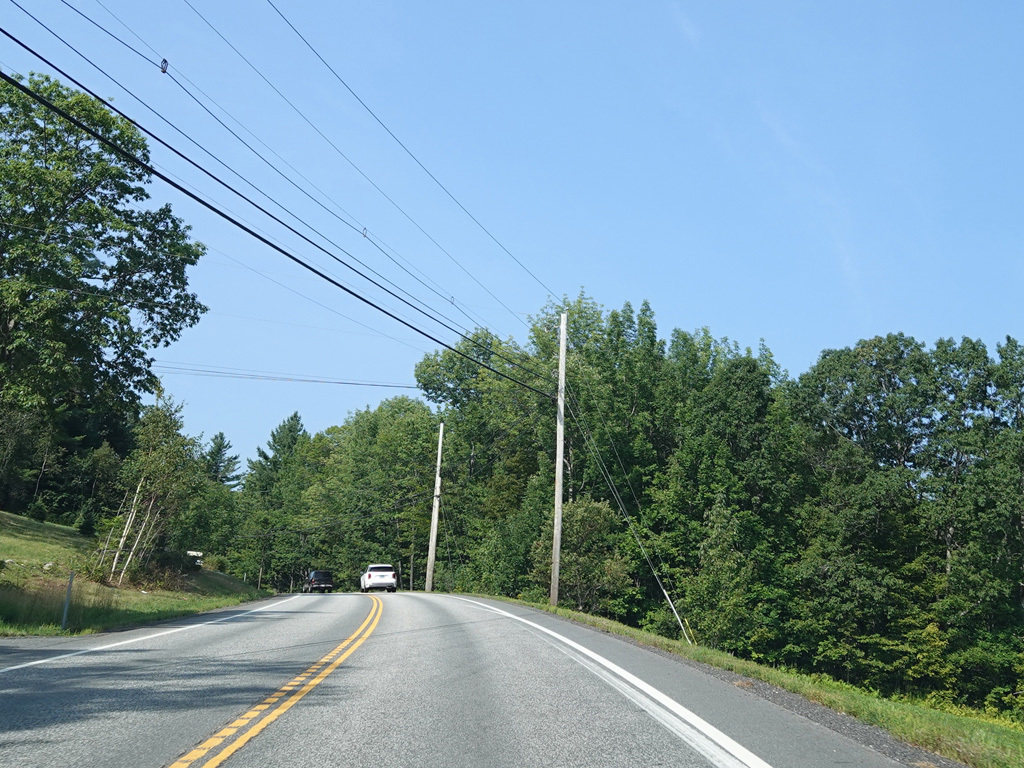
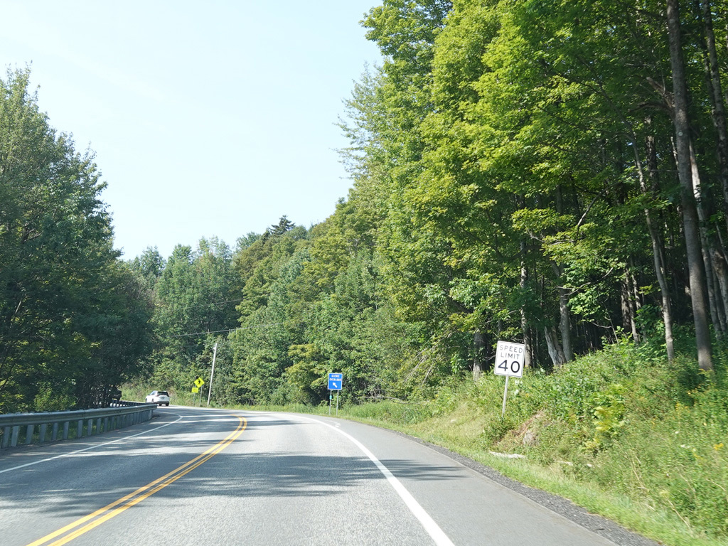
High Street continues west as a two-lane undivided road.
Photos taken August 2025.
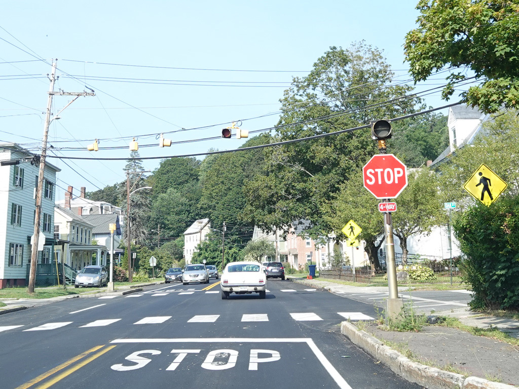
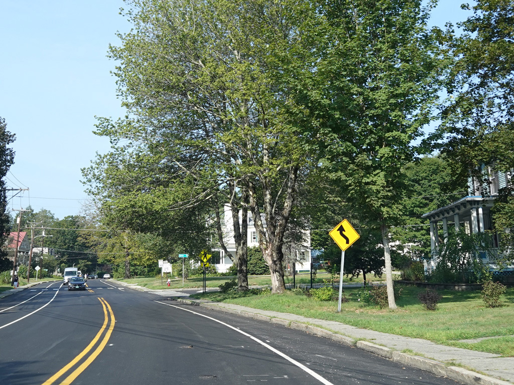
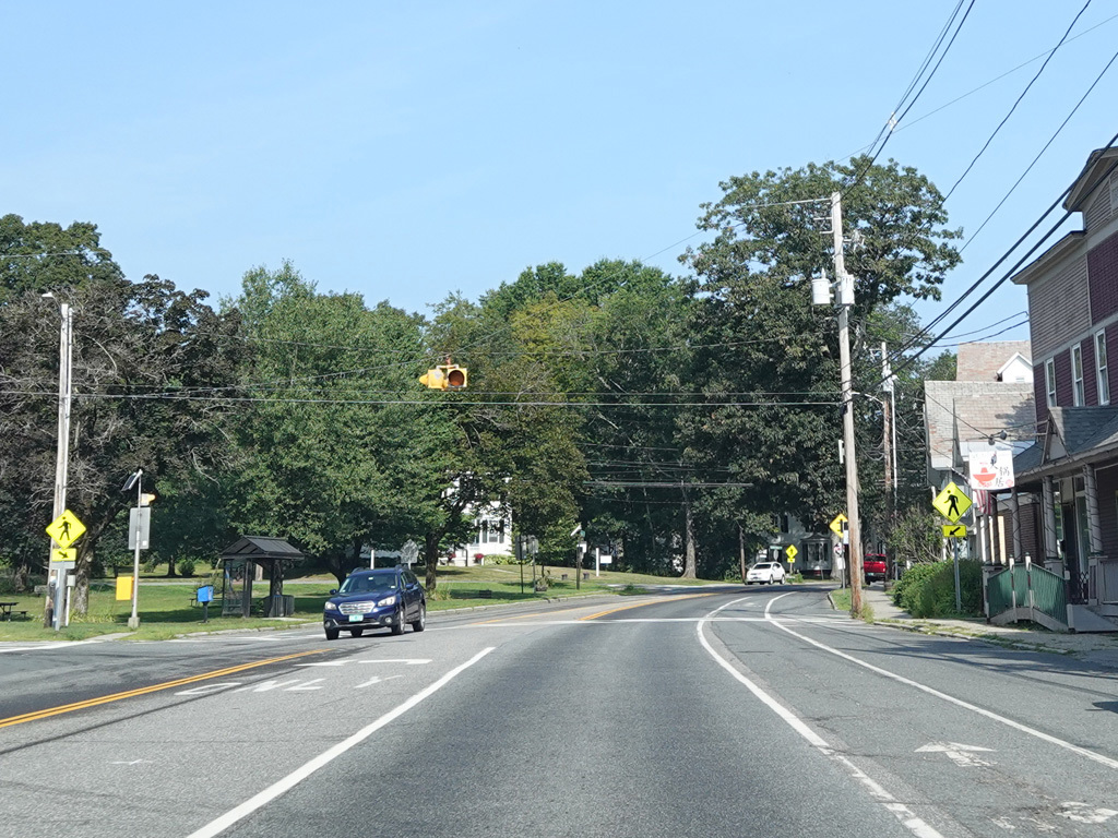
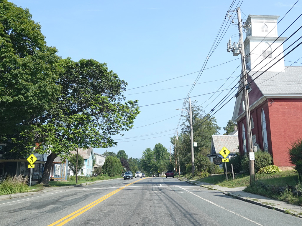
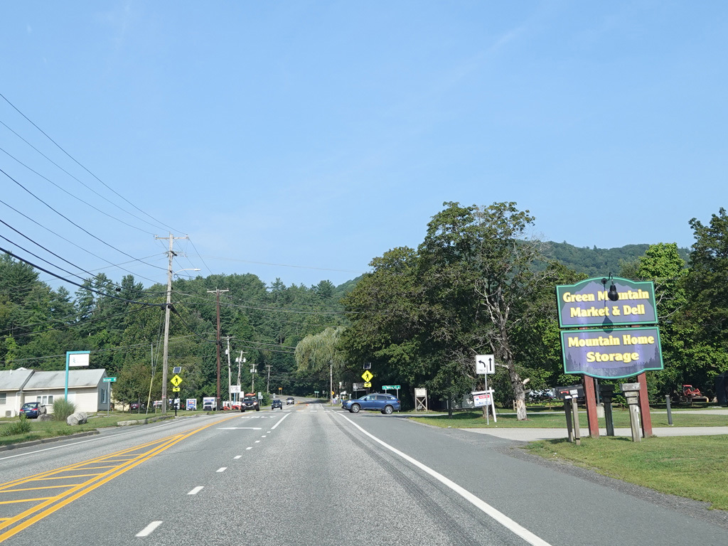
High Street merges with Green Street to form Western Avenue.
Photos taken August 2025.
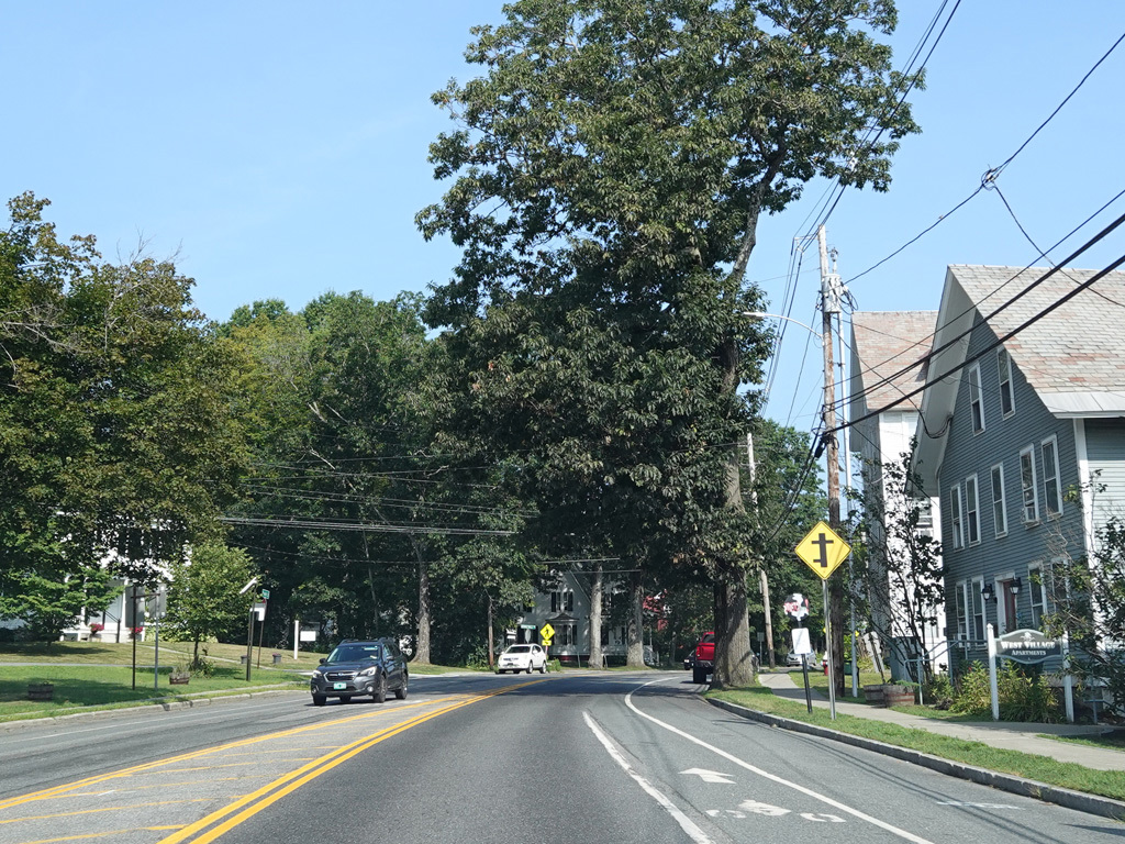
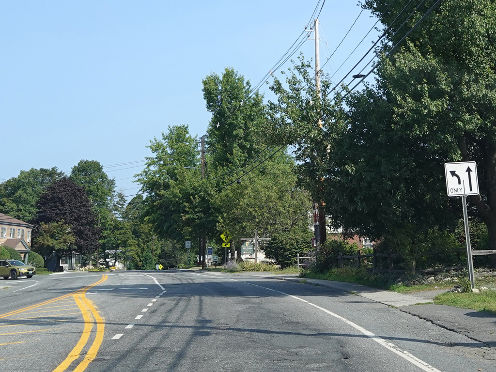
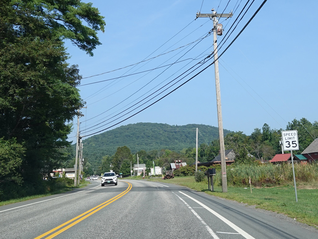
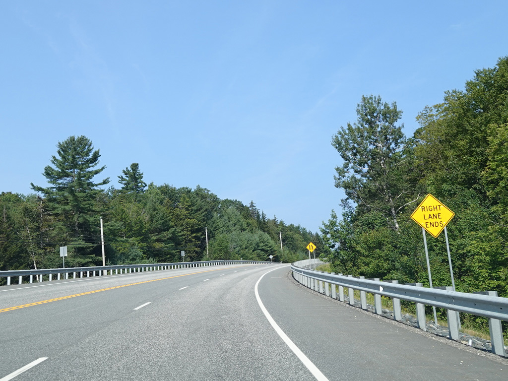
Western Avenue runs west as a two-lane undivided road.
Photos taken August 2025.
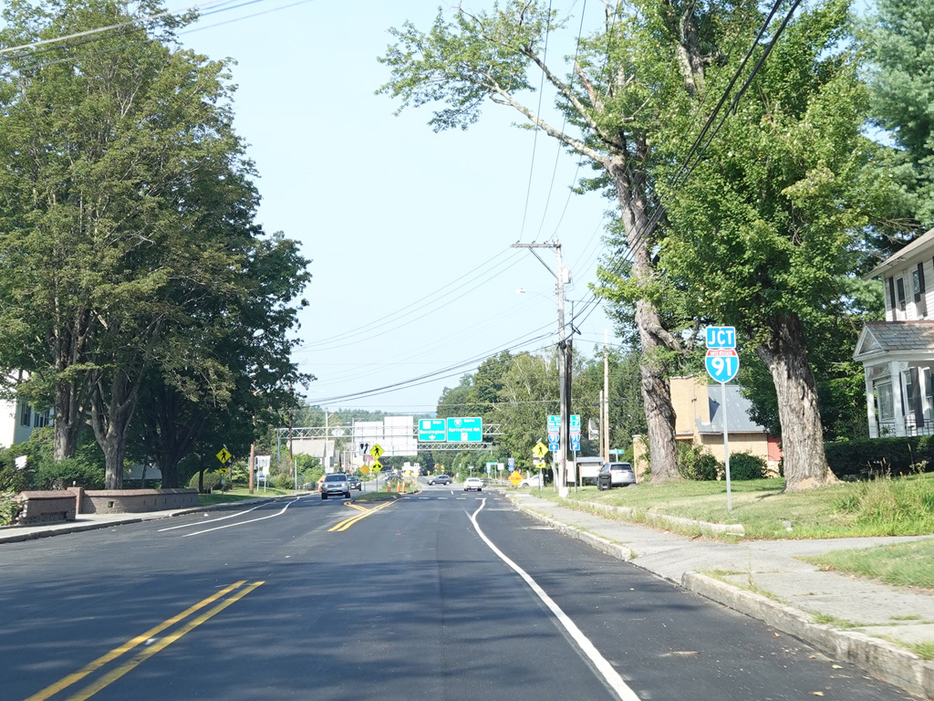
There is an interchange with I-91.
Photos taken August 2025.
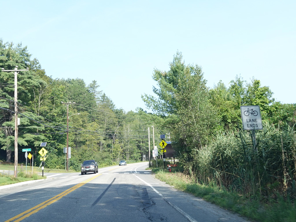
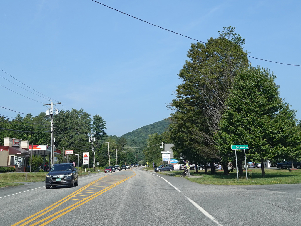
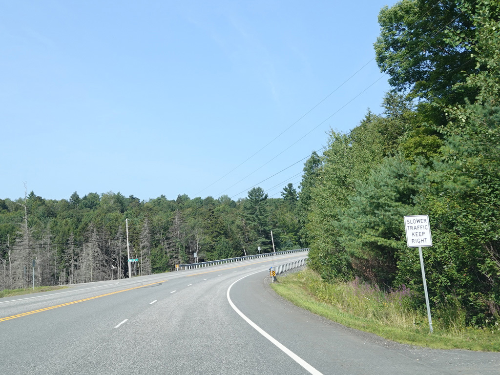
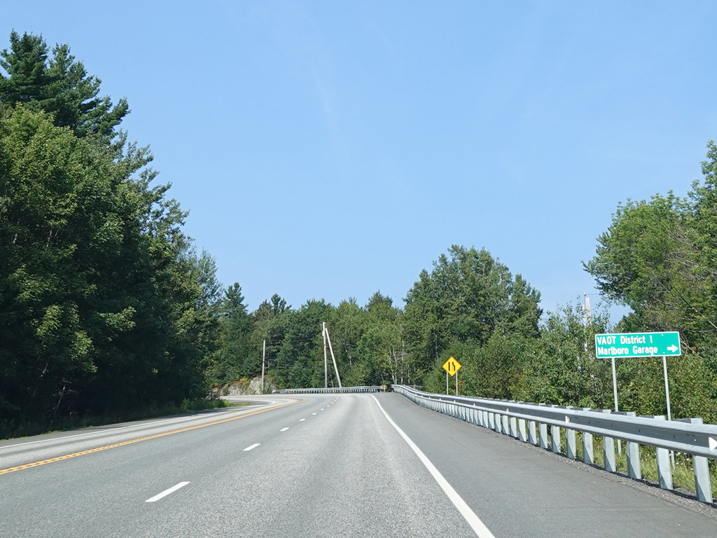
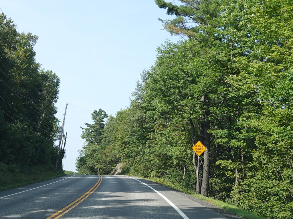
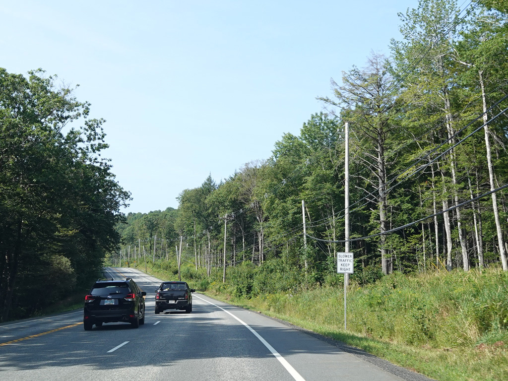
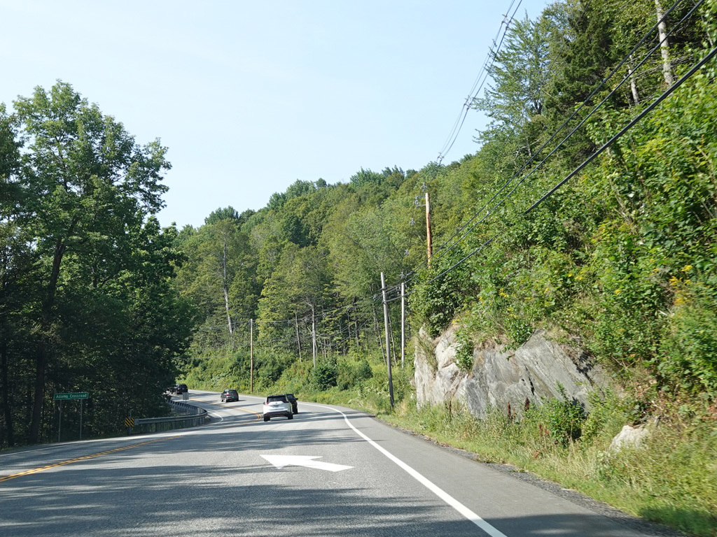
Western Avenue continues west as a two-lane undivided road.
Photos taken August 2025.
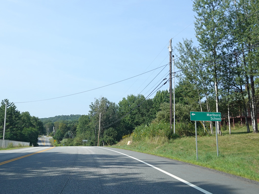
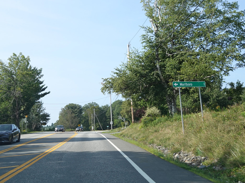
Heading out of town, Western Avenue changes names to become Marlboro Road.
Photos taken August 2025.
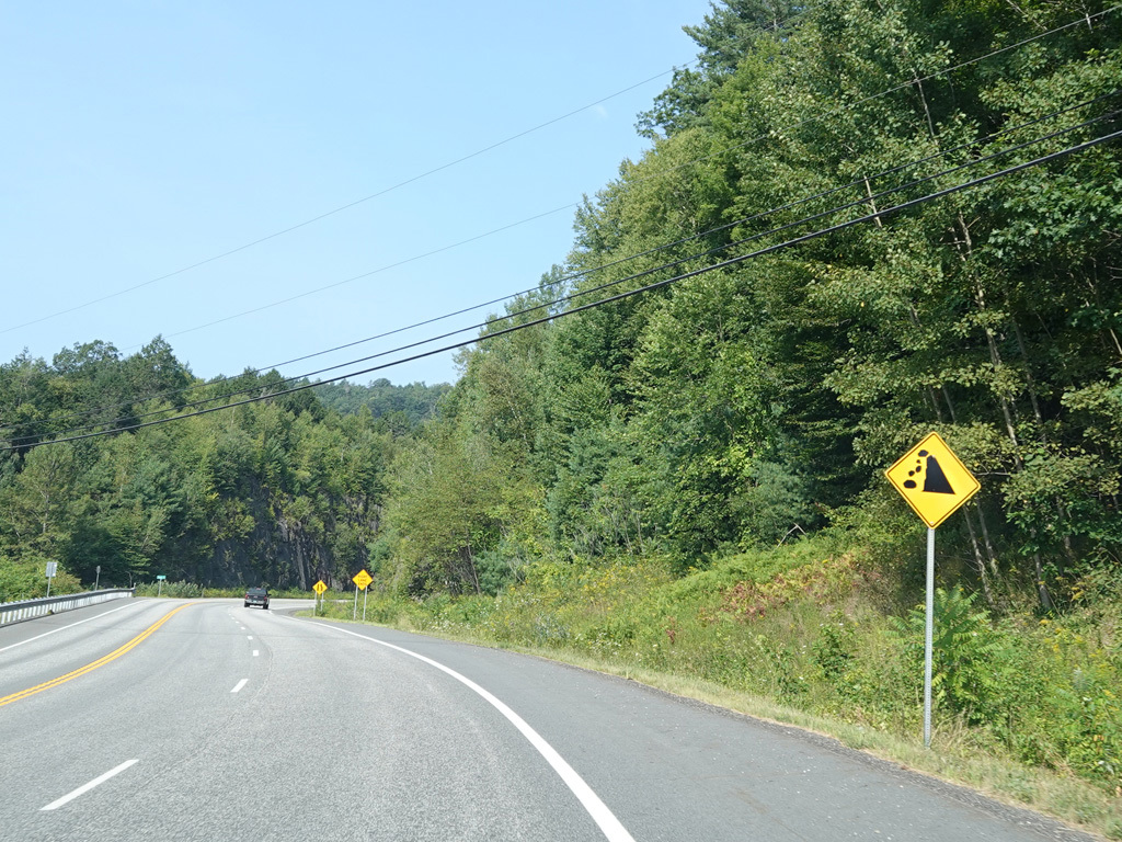
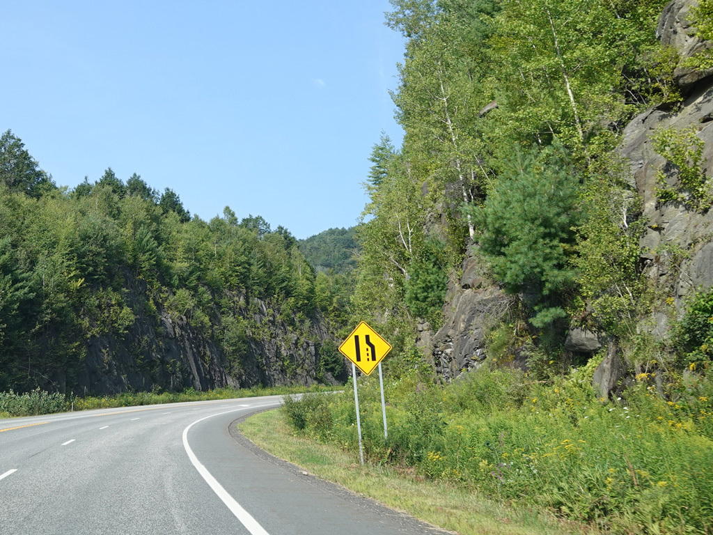
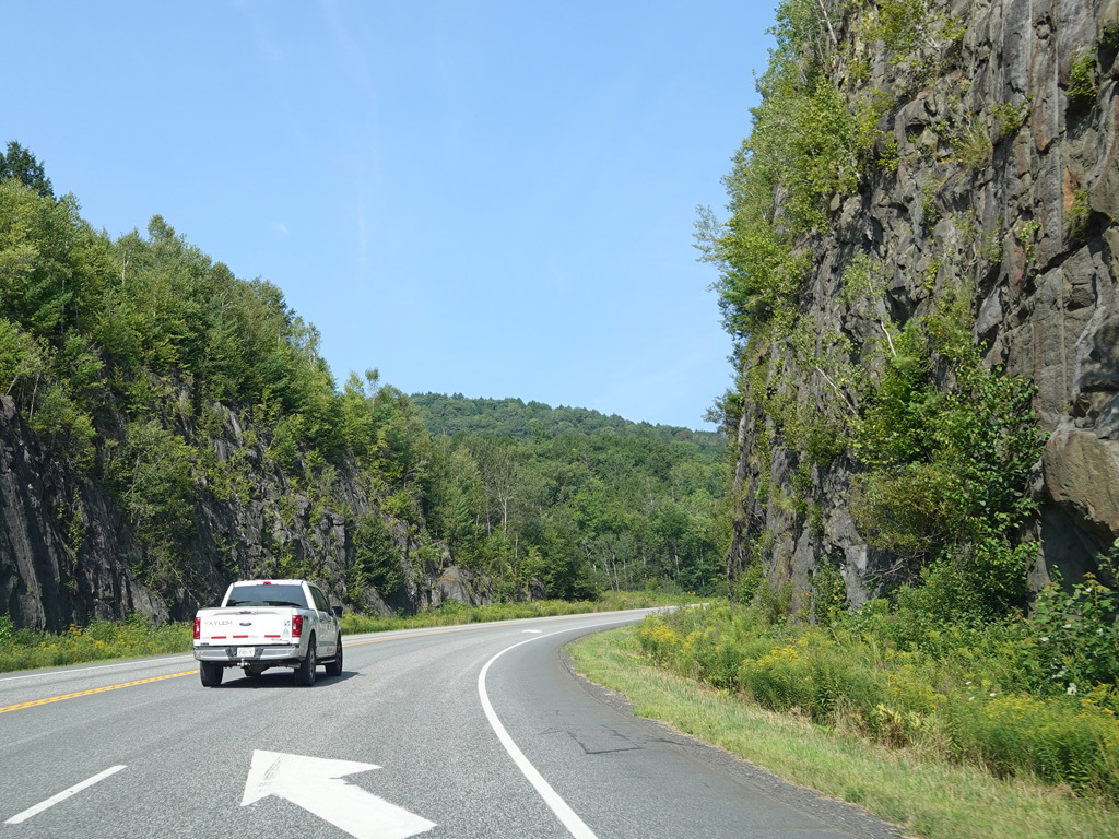
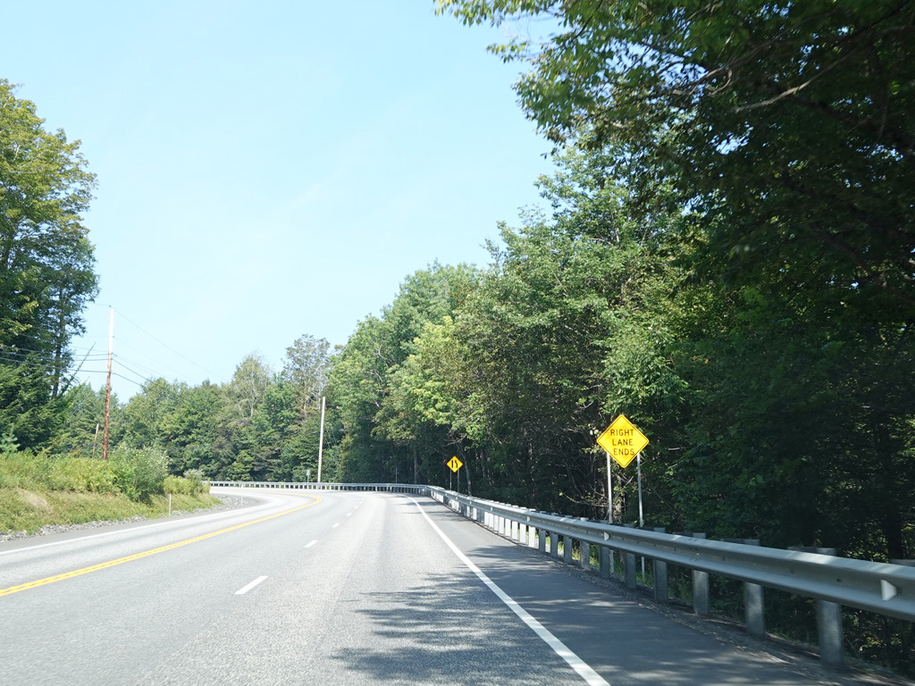
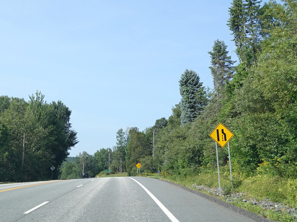
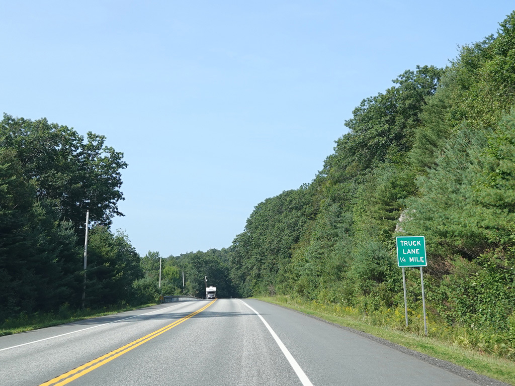
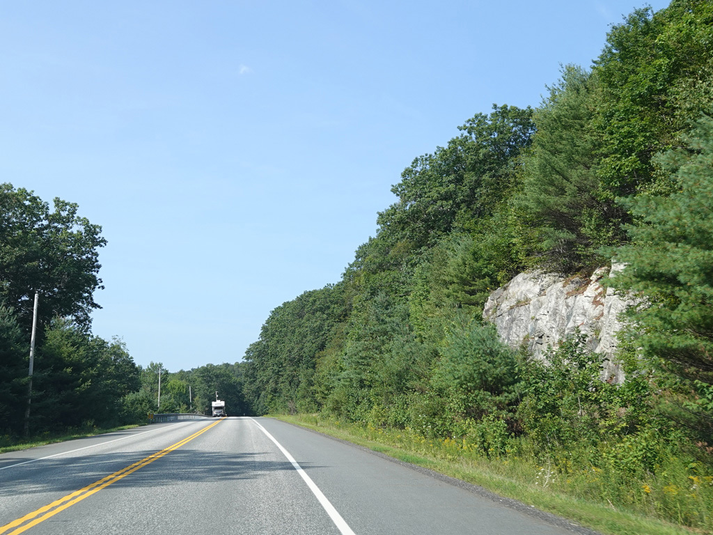
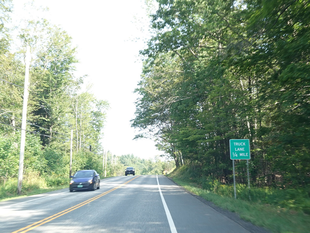
There is a truck lane for slow vehicles as Marlboro Road passes through a rock cut.
Photos taken August 2025.
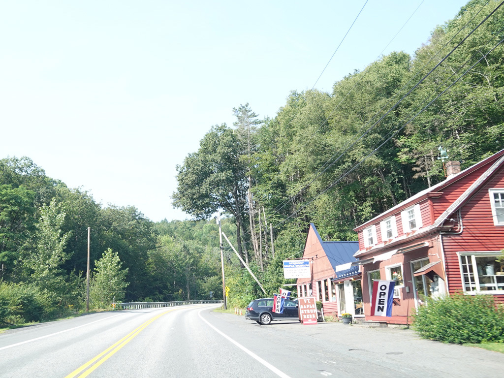
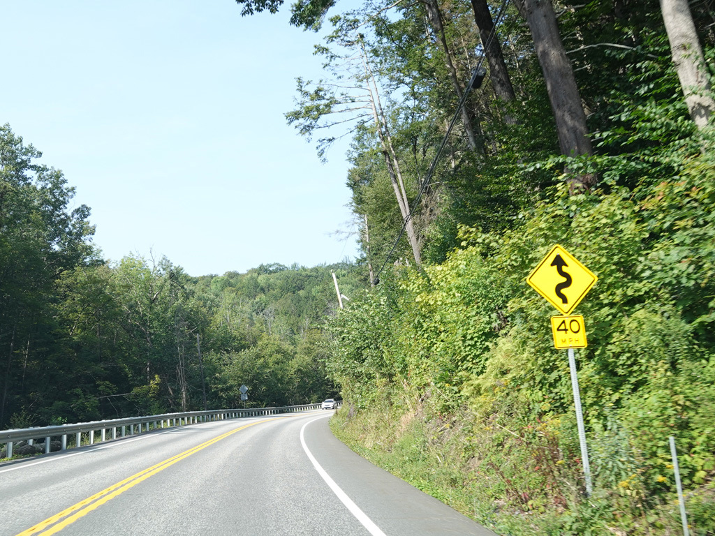
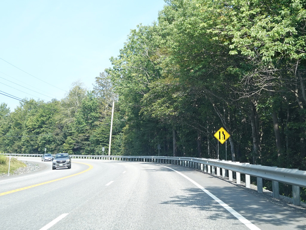
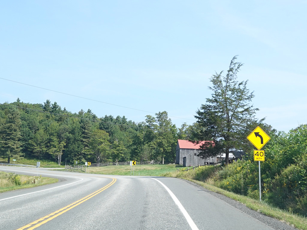
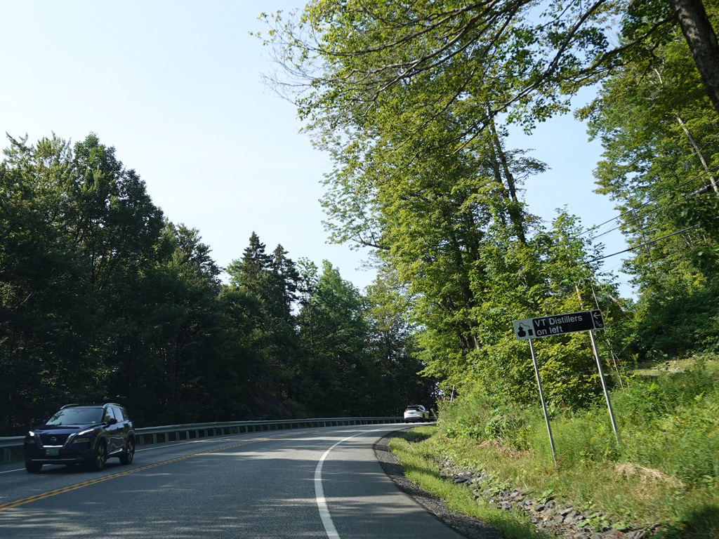
Marlboro Road continues west into the mountains, changing names to become Molly Stark Trail.
Photos taken August 2025.
There is a truck lane as Molly Stark Trail goes uphill.
Photos taken August 2025.
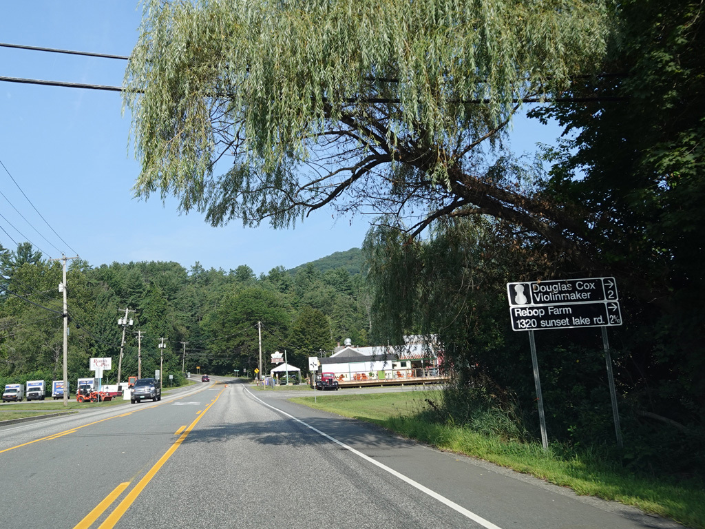
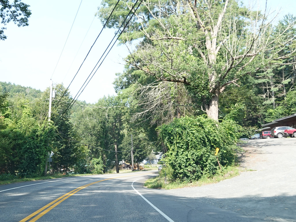
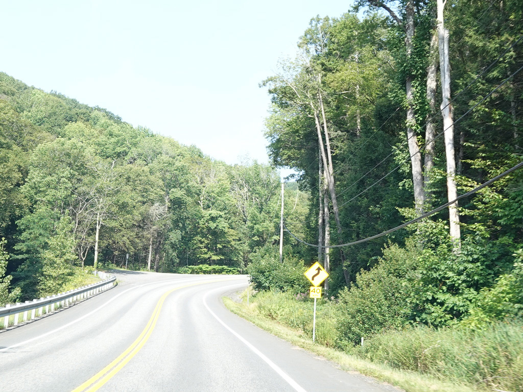
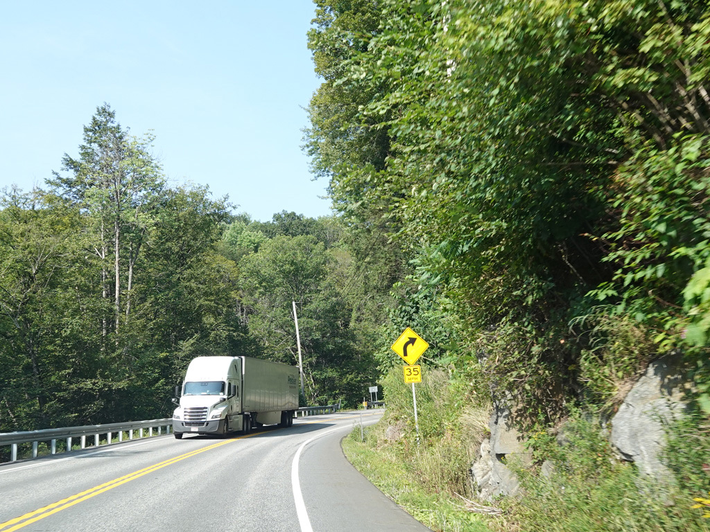
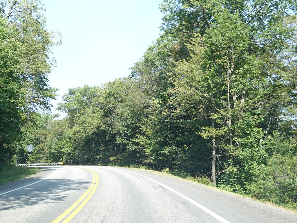
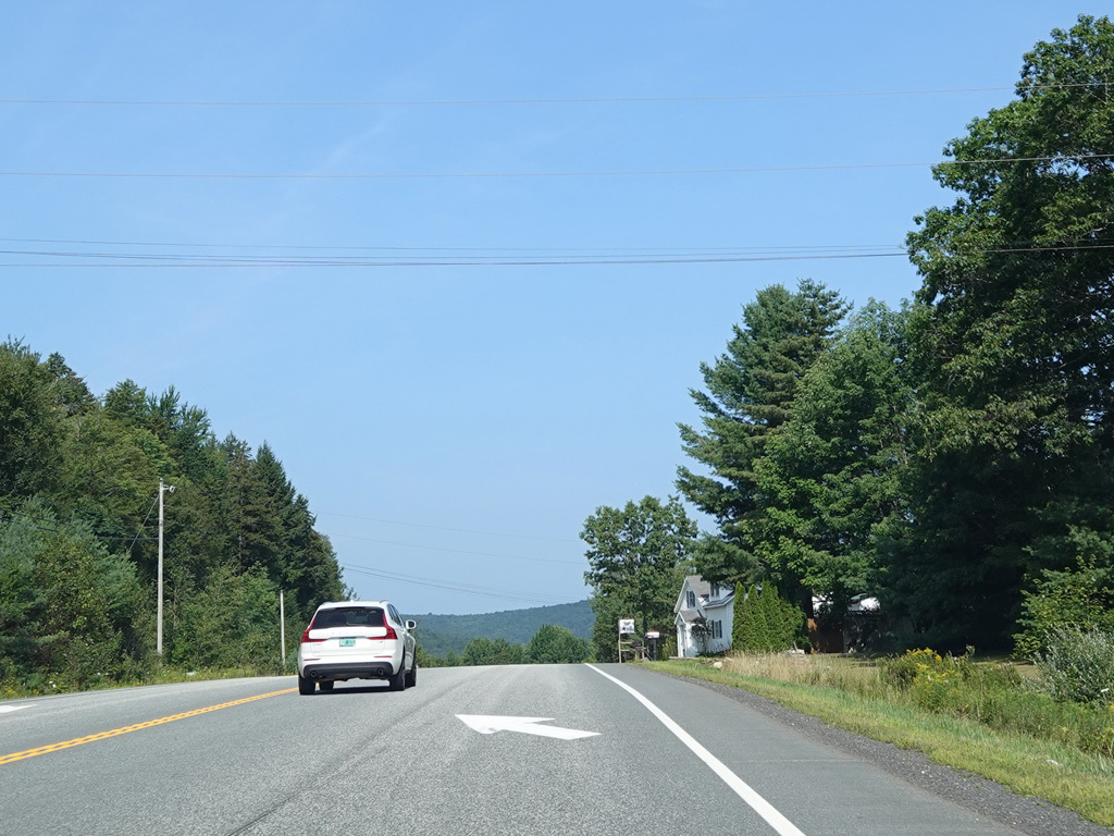
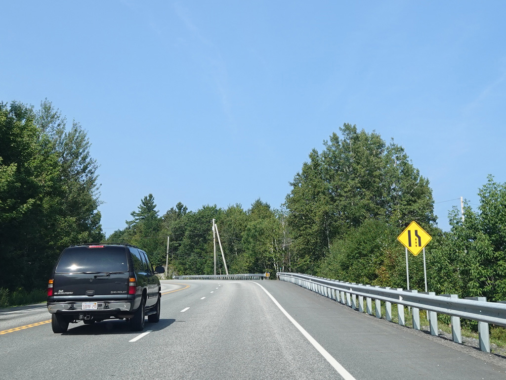
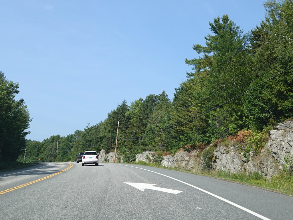
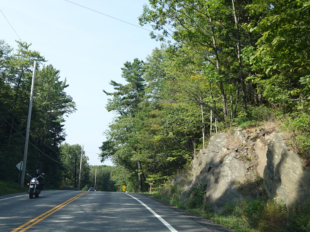
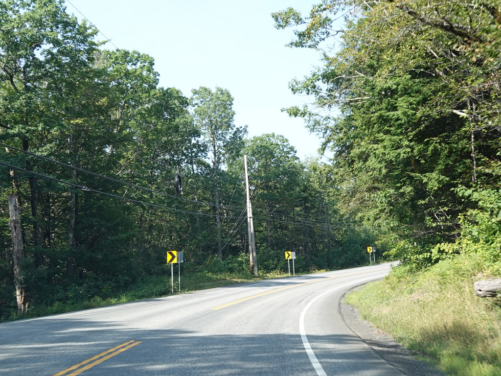
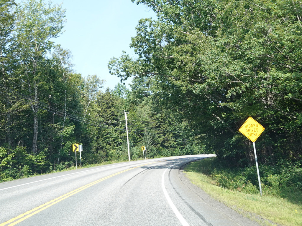
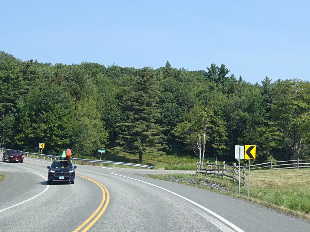
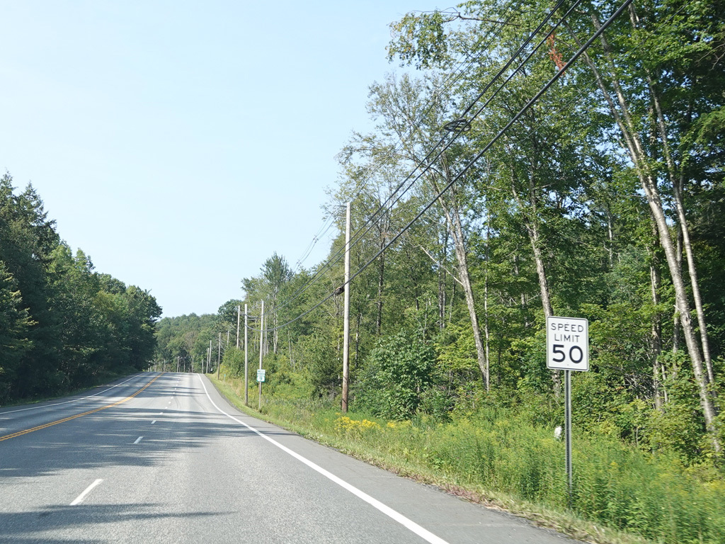
Molly Stark Trail runs west as a two-lane undivided road.
Photos taken August 2025.
Once again, there is a truck lane as Molly Trail Trail goes uphill.
Photos taken August 2025.
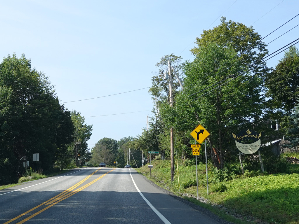
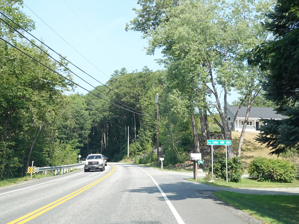
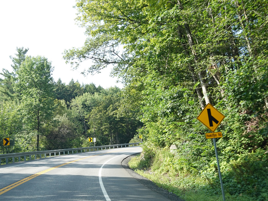
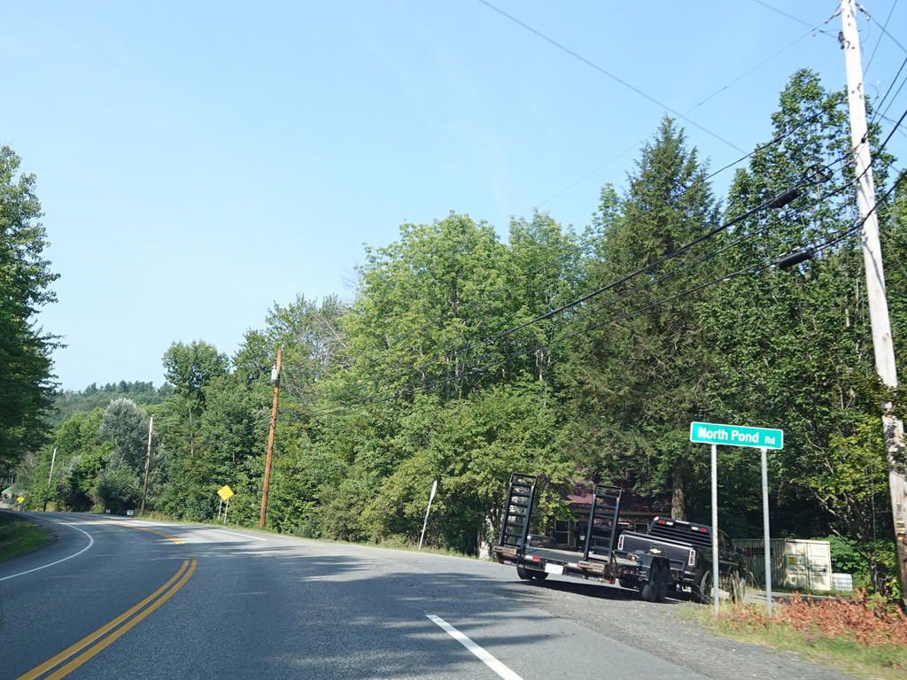
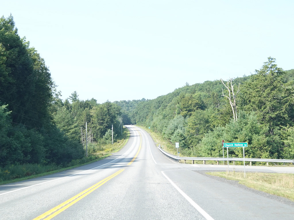
South Road begins on the left at an uncontrolled intersection.
Photos taken August 2025.
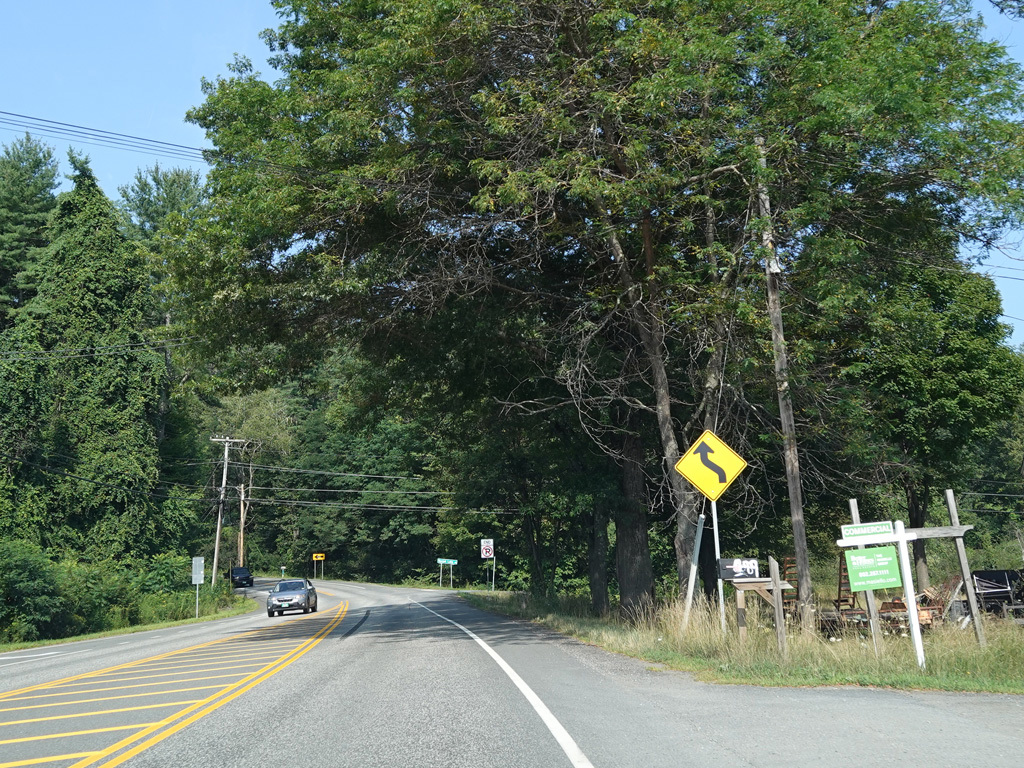
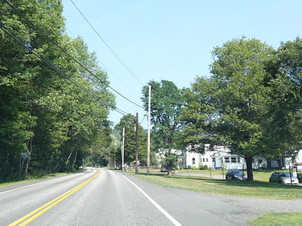
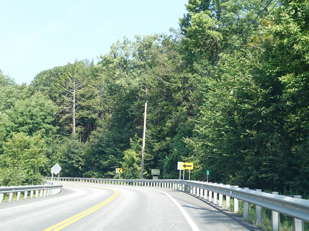
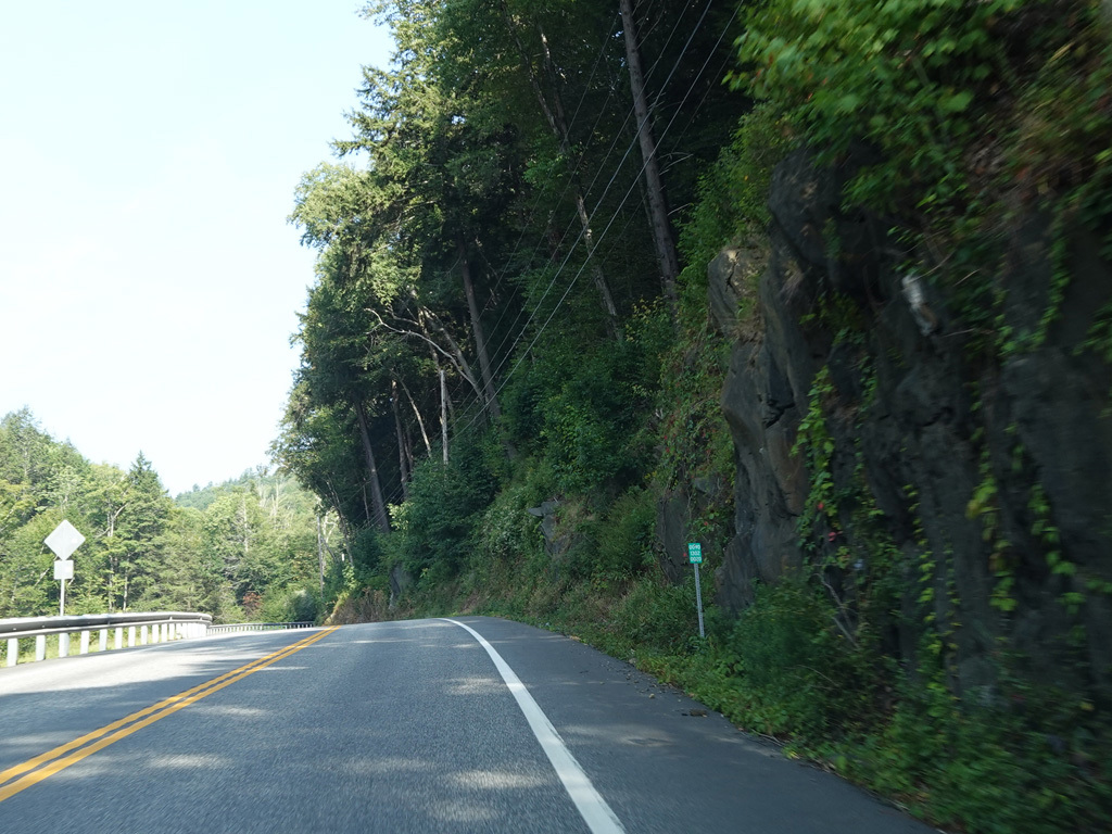
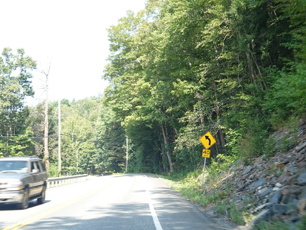
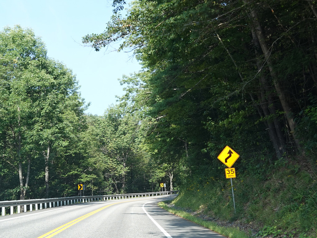
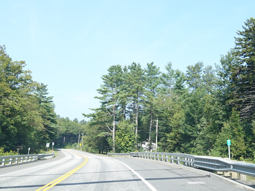
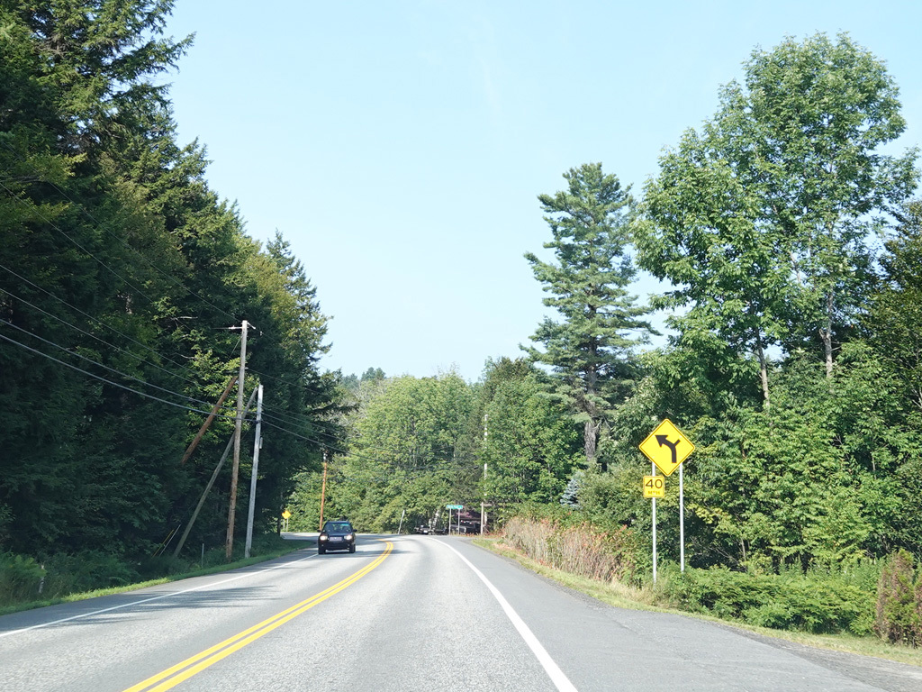
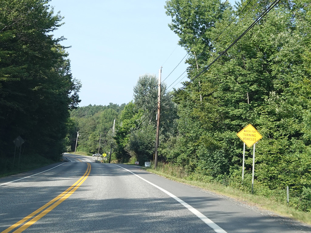
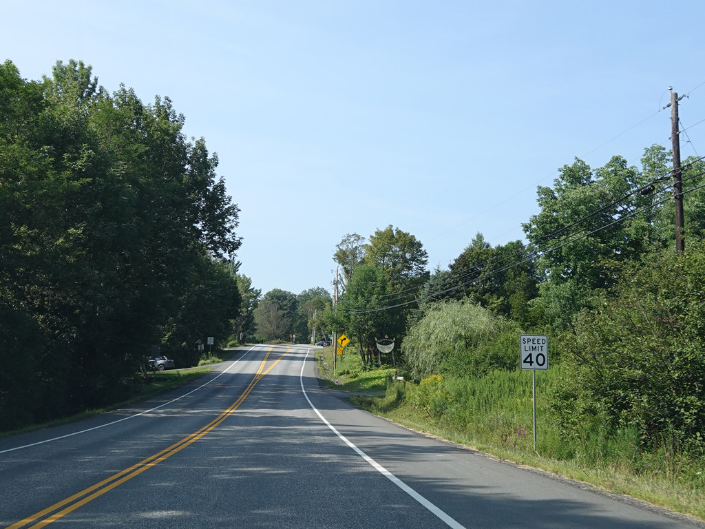
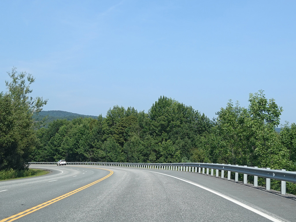
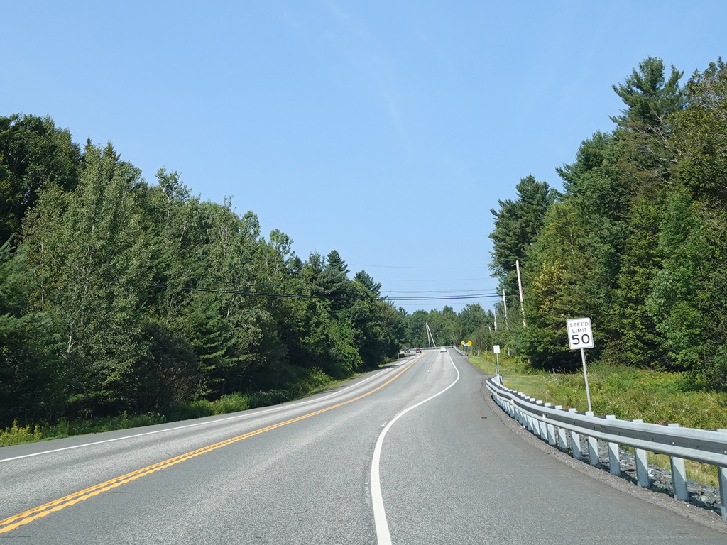
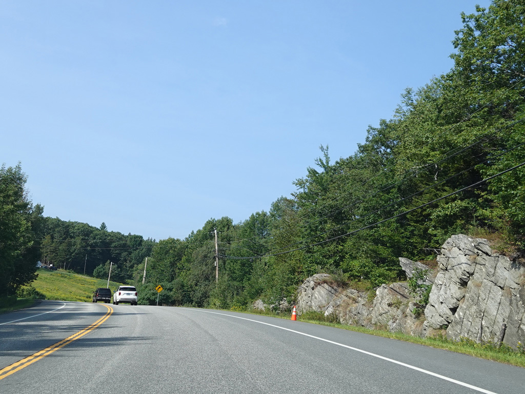
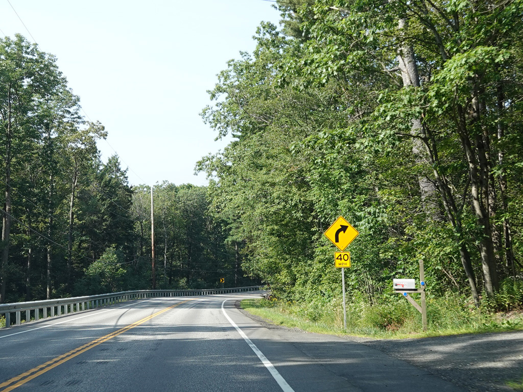
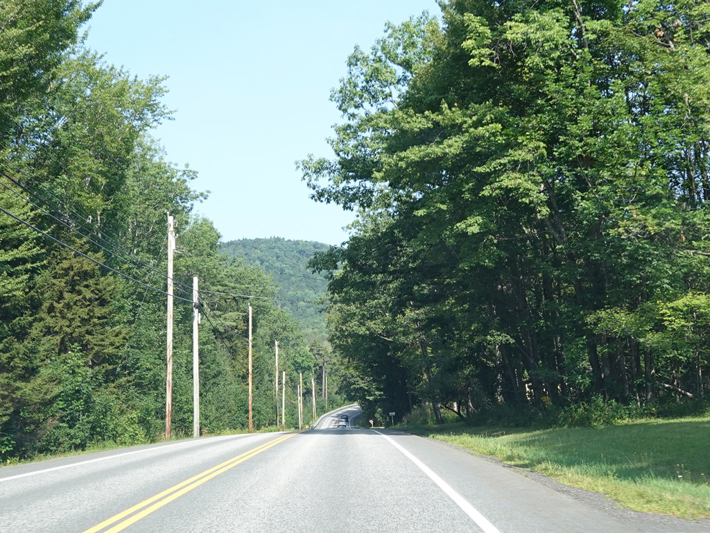
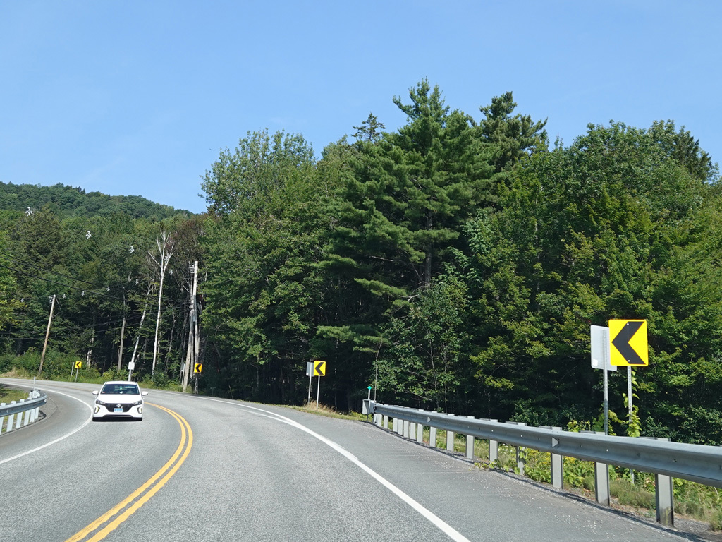
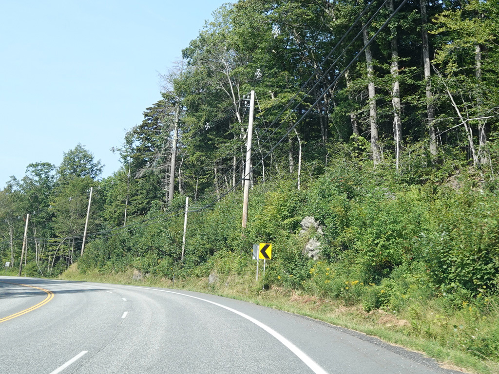
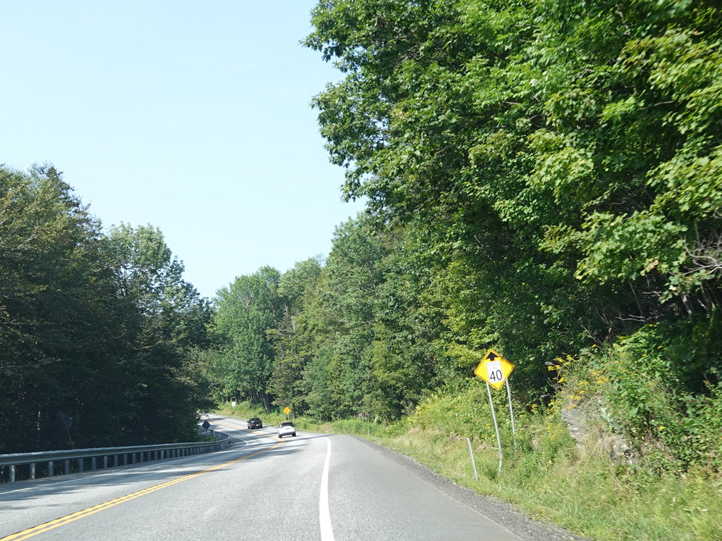
Molly Stark Trail continues west as a two-lane undivided road.
Photos taken August 2025.
Yet again, there is a truck lane as Molly Stark Trail goes uphill.
Photos taken August 2025.
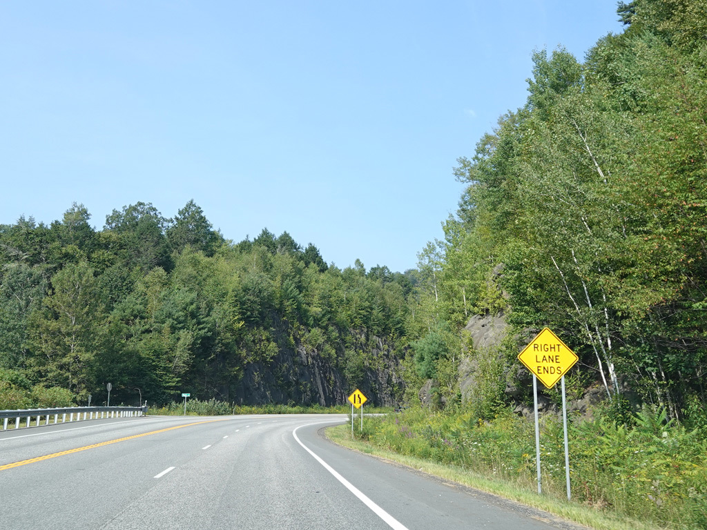
Heading downhill on the other side, there is a truck lane on the eastbound side but only one westbound lane.
Photos taken August 2025.
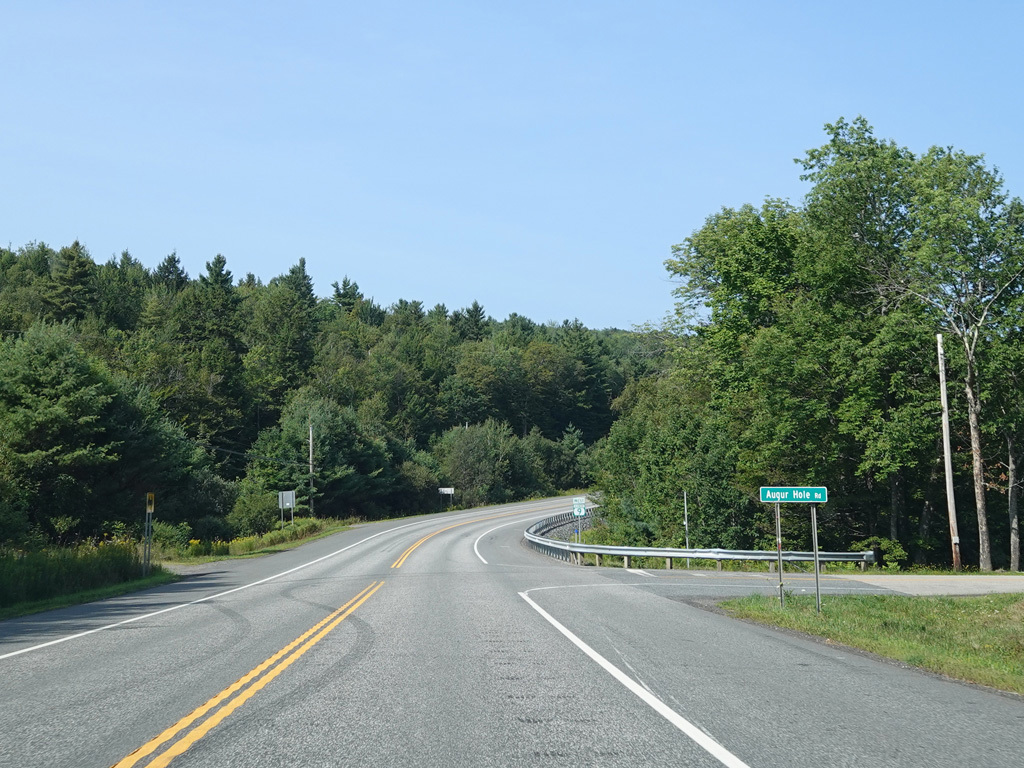
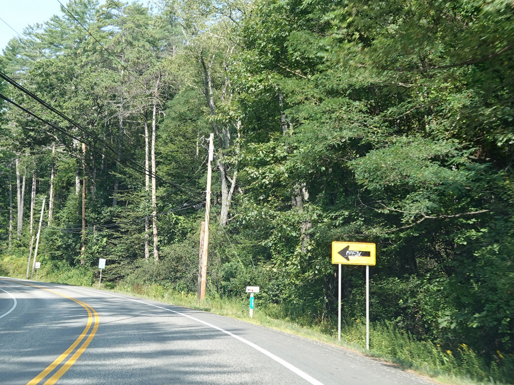
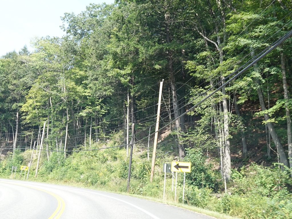
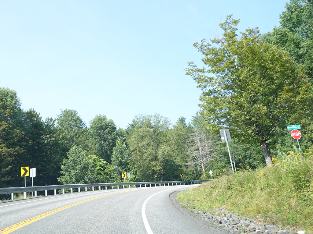
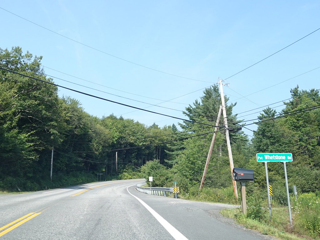
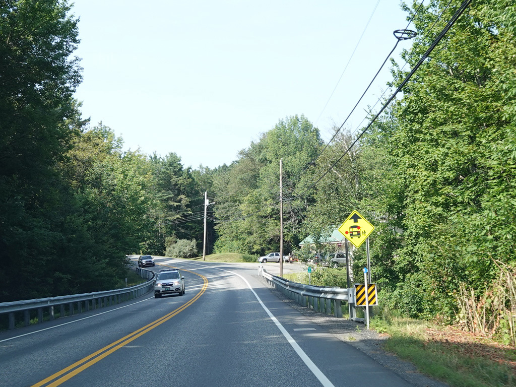
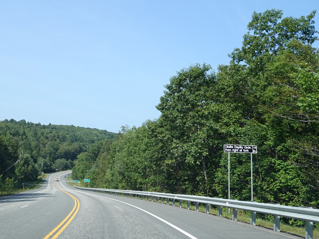
Augur Hole Road begins on the right at an uncontrolled intersection.
Photos taken August 2025.
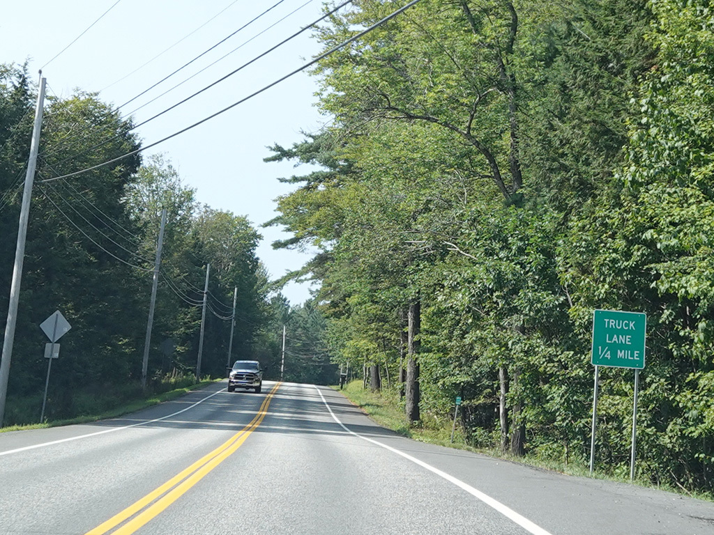
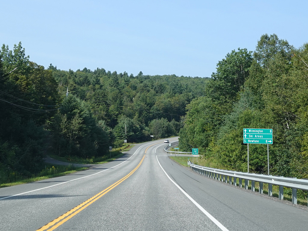
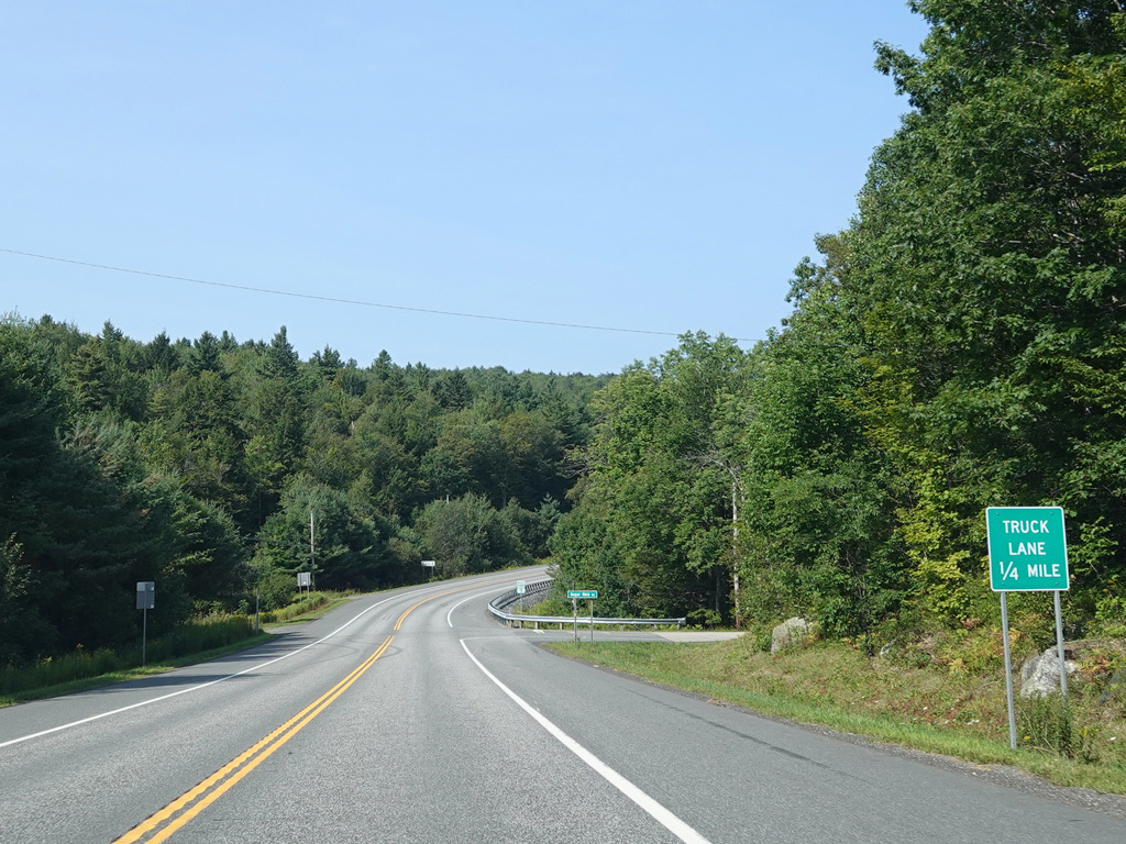
The truck lane resumes for a short distance after Augur Hole Road.
Photos taken August 2025.
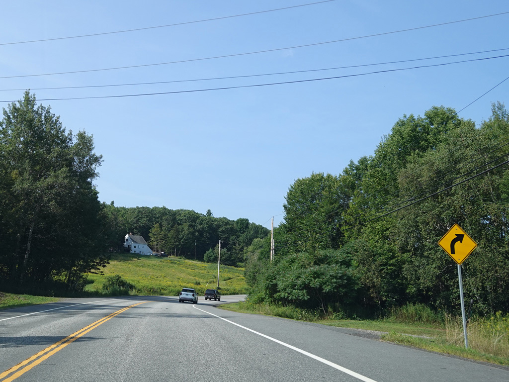
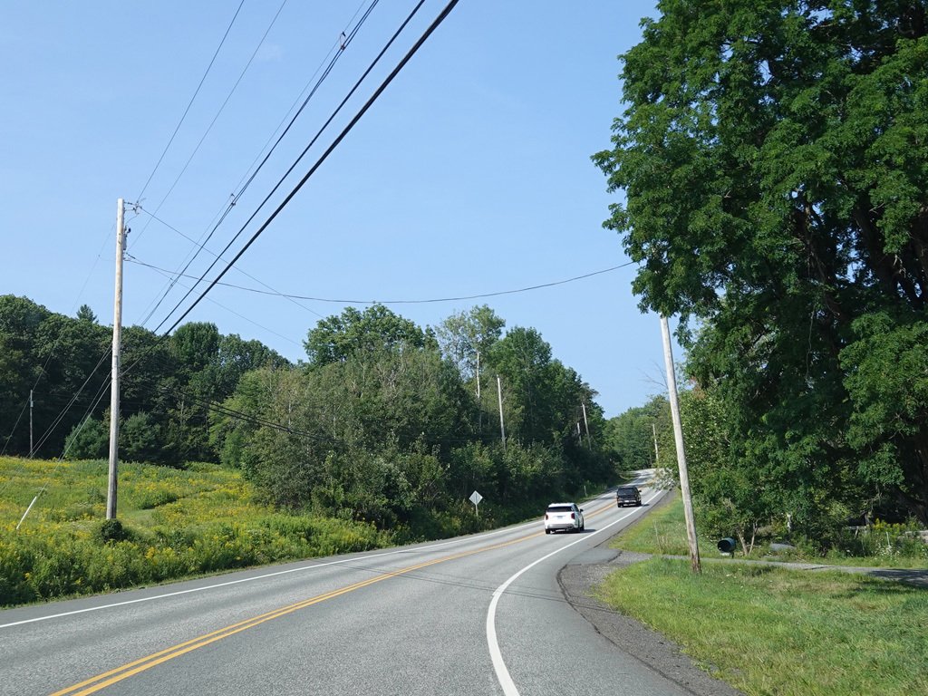
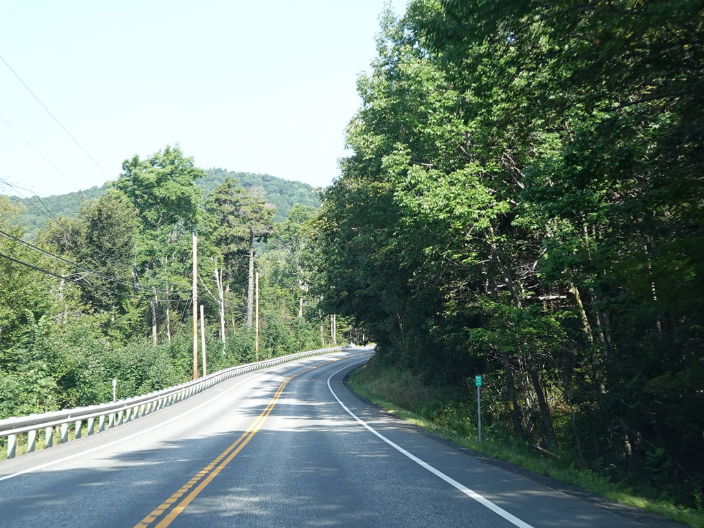
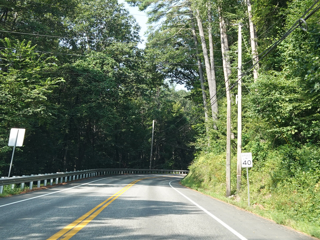
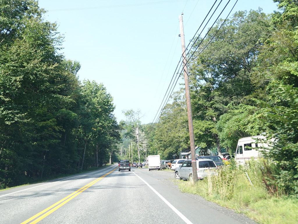
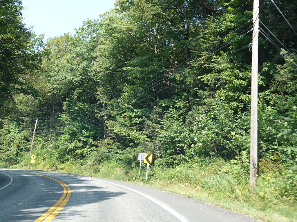
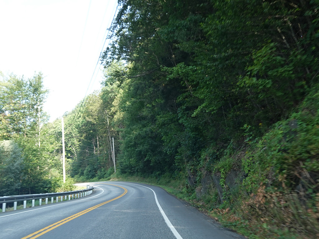
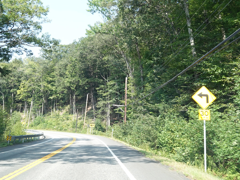
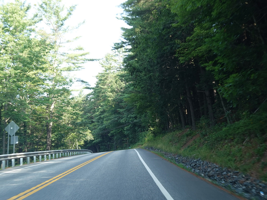
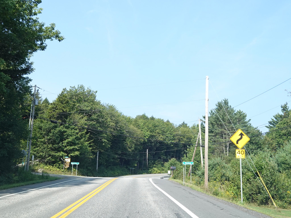
Molly Stark Trail continues west as a two-lane undivided road.
Photos taken August 2025.
There is a truck lane as Molly Stark Trail goes up Hogback Mountain.
Photos taken August 2025.
Molly Stark Trail continues up Hogback Mountain as a two-lane undivided road.
Photos taken August 2025.
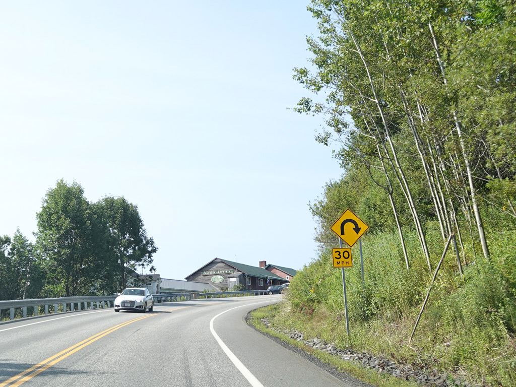
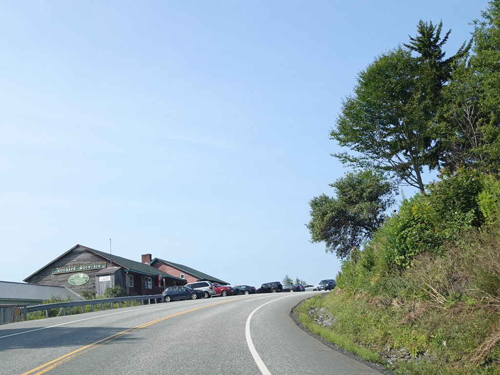
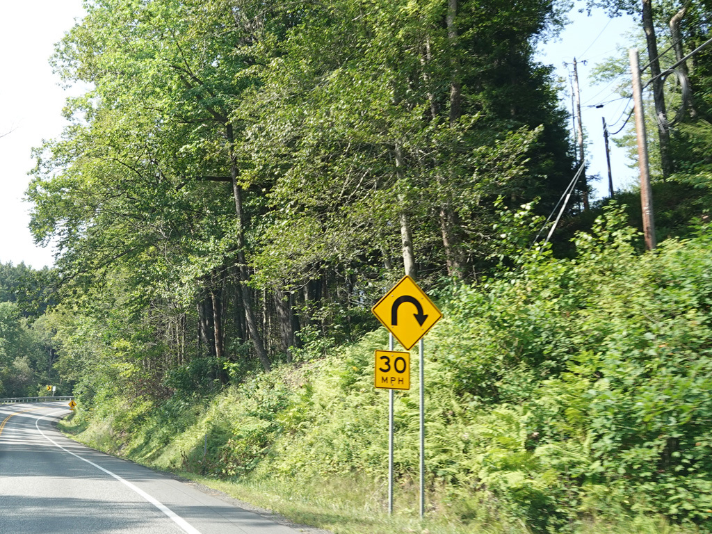
At the summit, there is a switchback. Turn left at the switchback for a scenic overlook.
Photos taken August 2025.