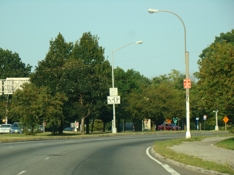
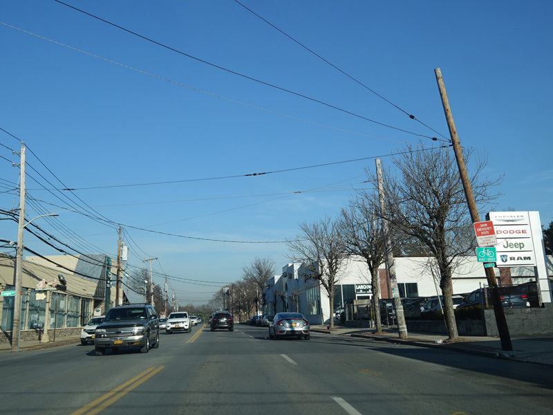
Cross Bronx Expressway, Webster Avenue, East Fordham Road, Boston Road, Boston Post Road, Main Street, Huguenot Street, South Main Street, North Main Street
Northbound Views
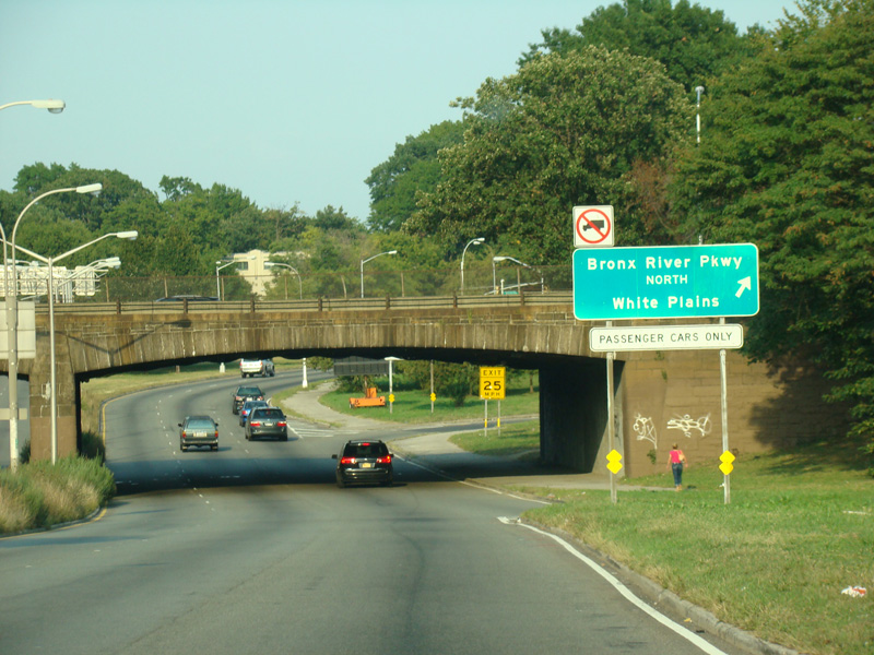
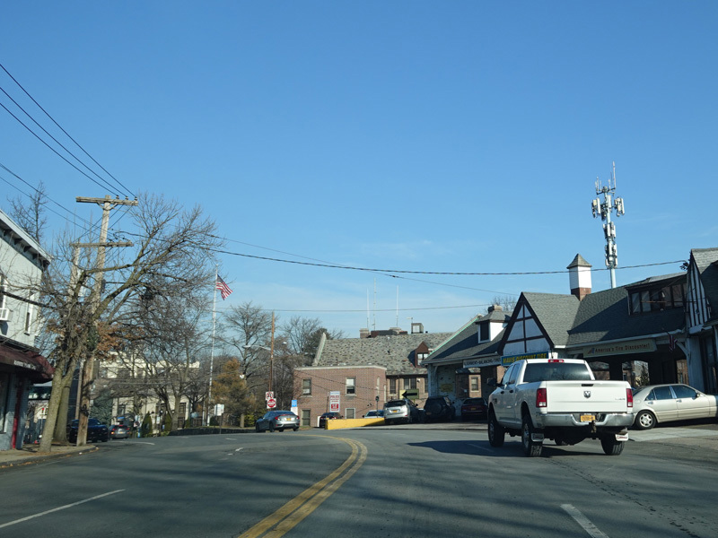
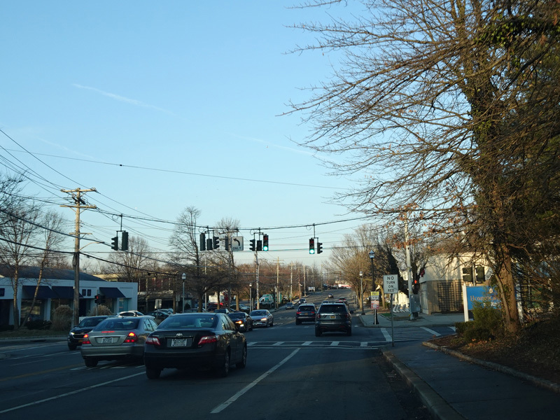
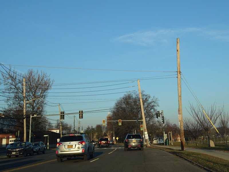
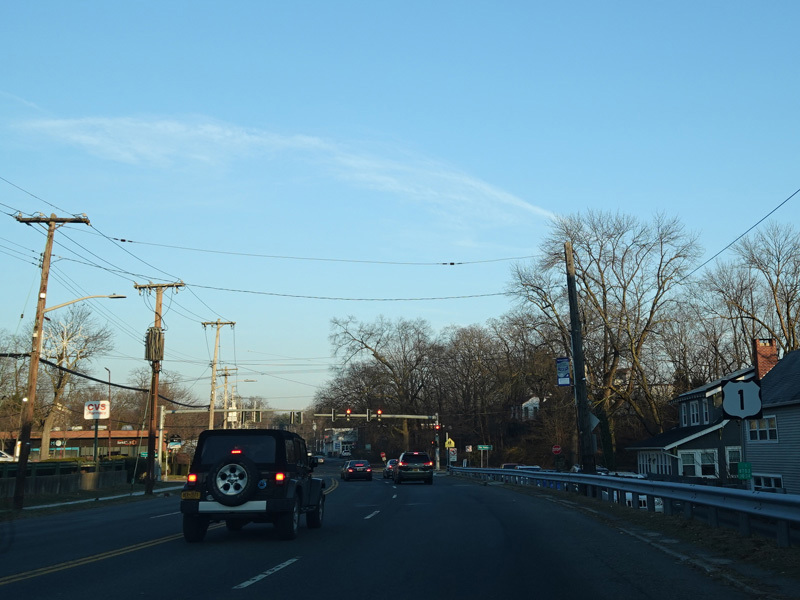
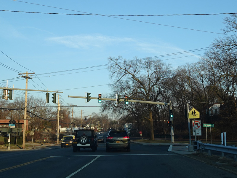
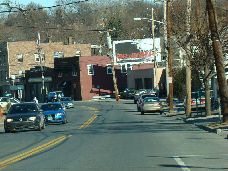
There is an interchange with the Bronx Parkway.
Photo taken September 2012.
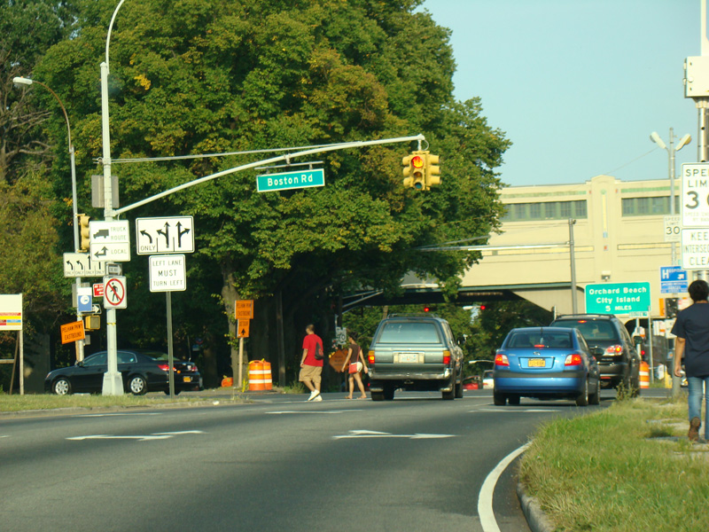
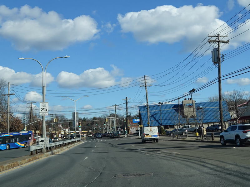
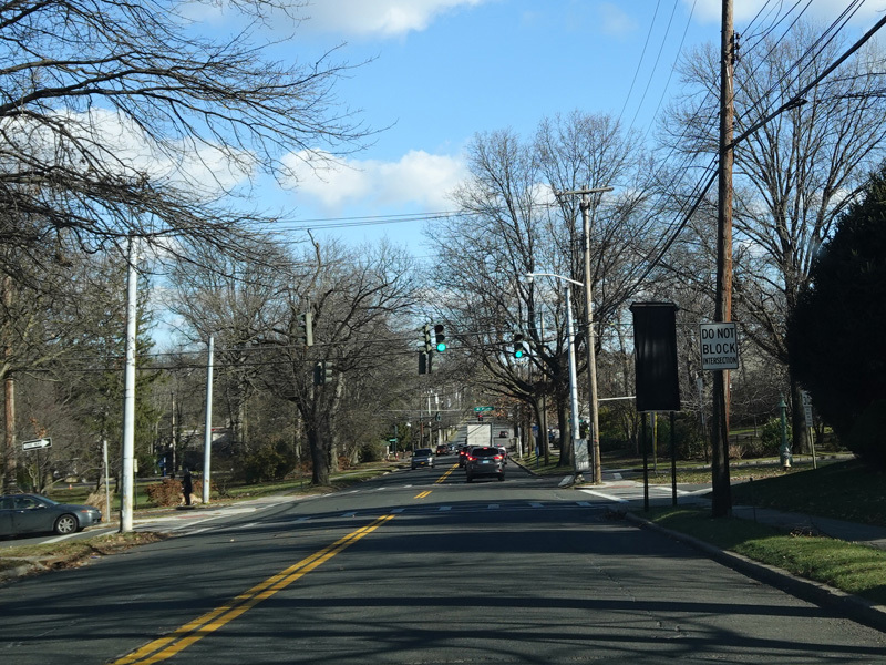
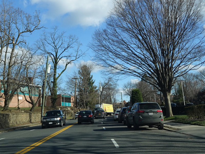
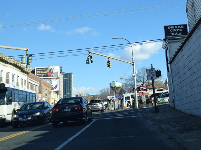
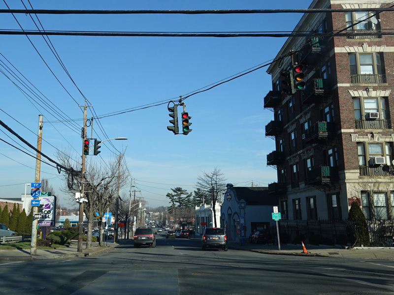
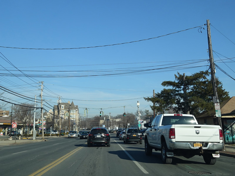
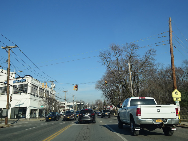
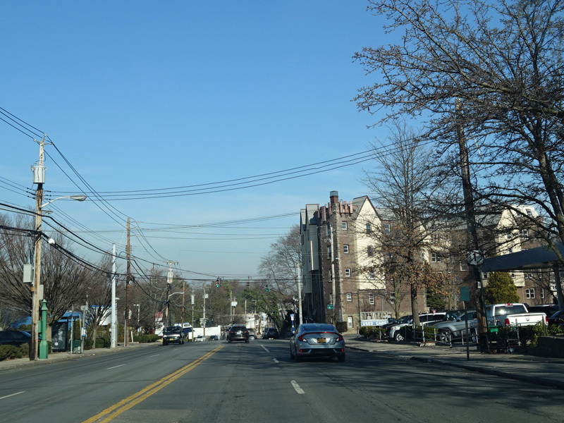
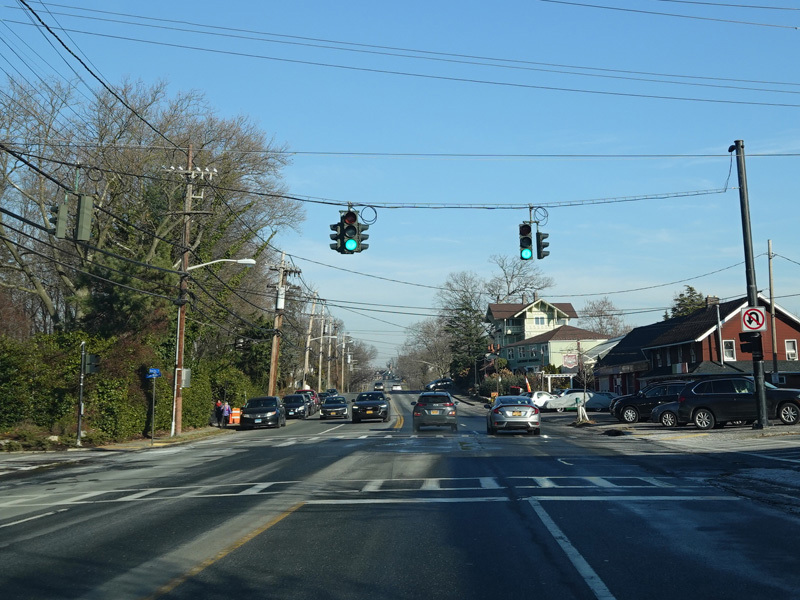
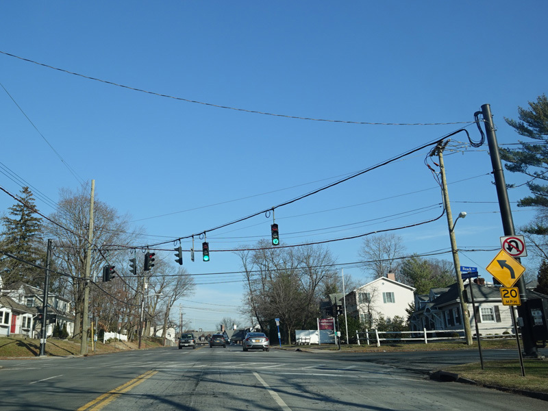
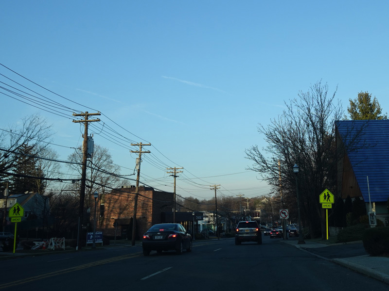
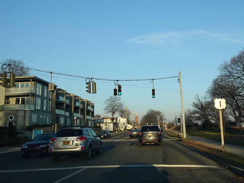
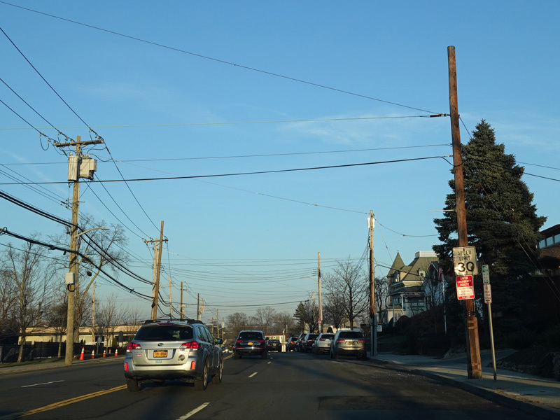
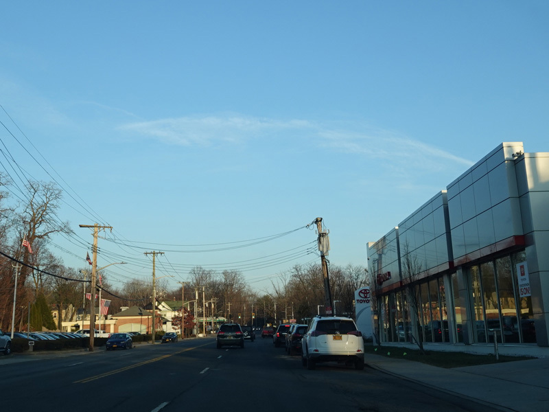
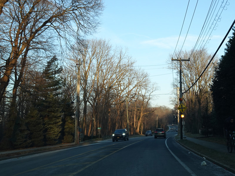
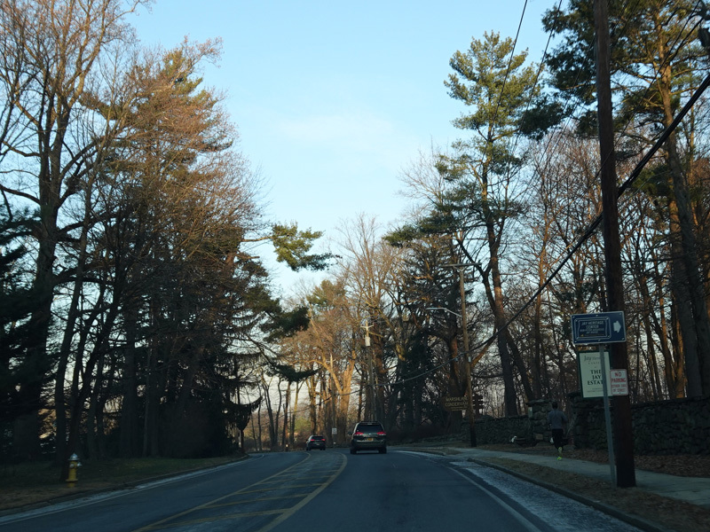
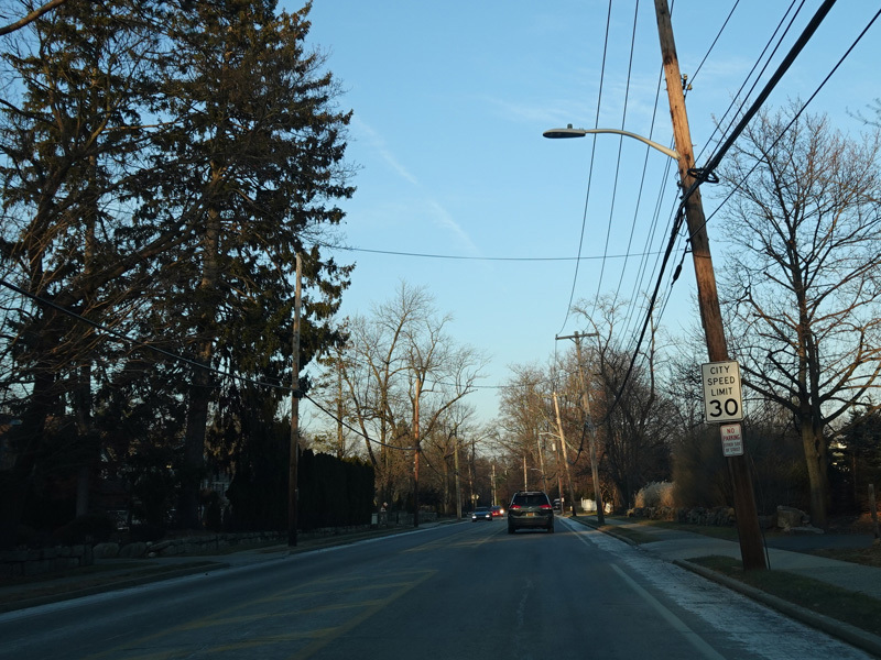
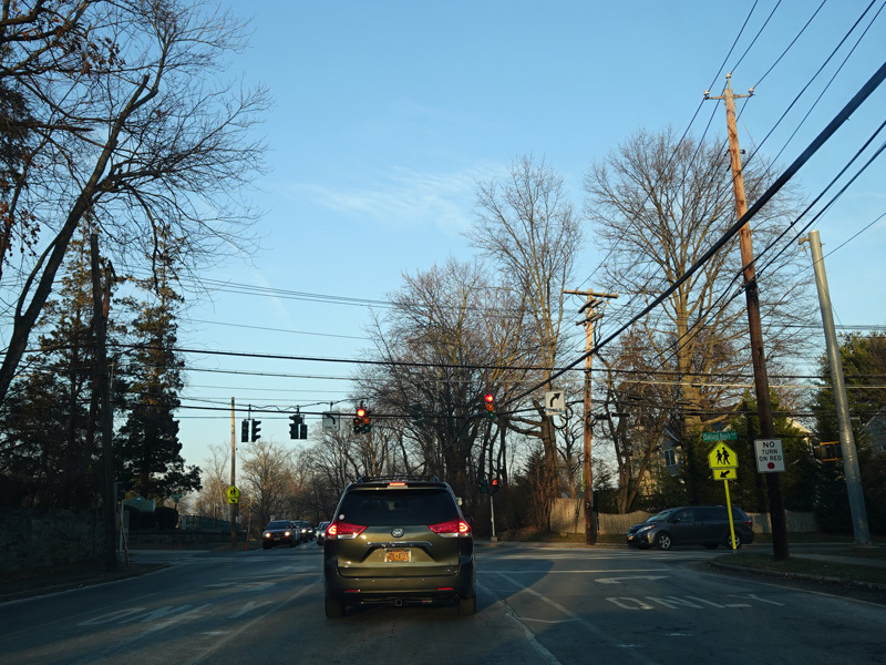
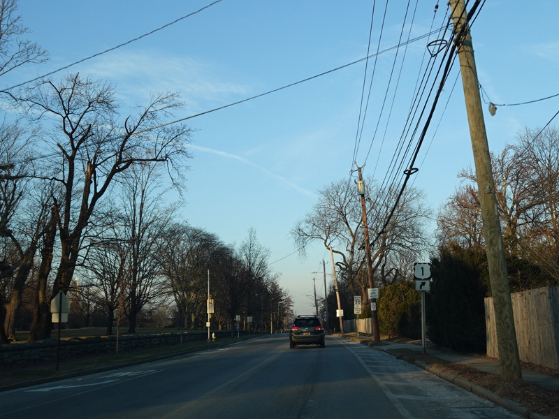
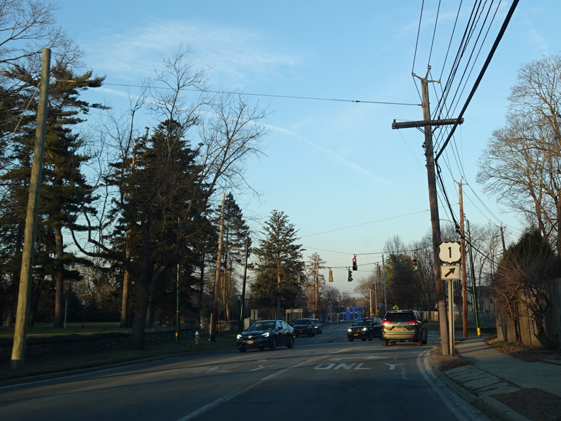
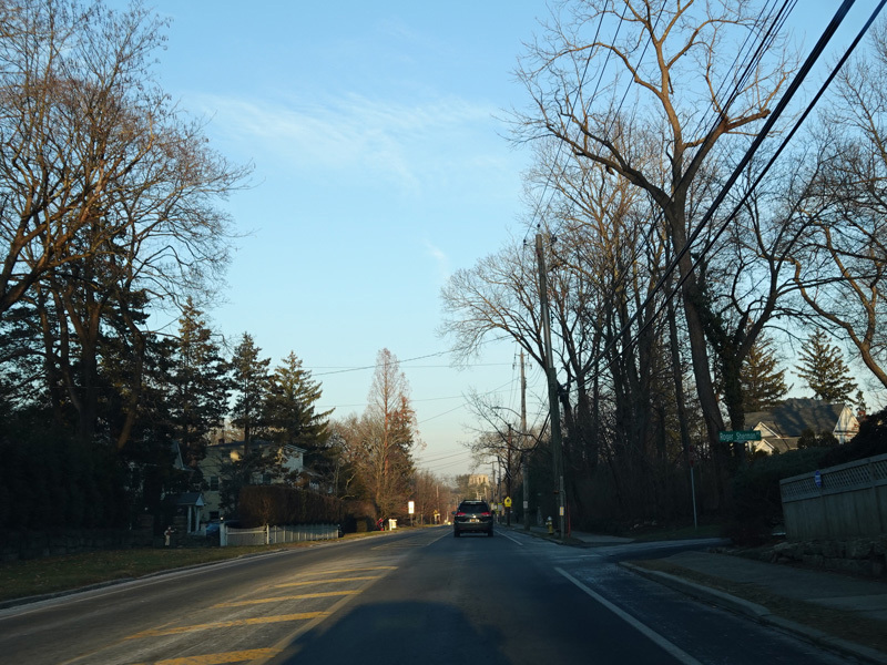
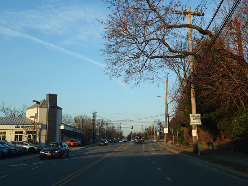
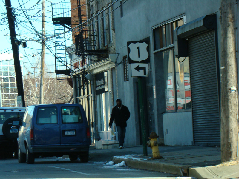
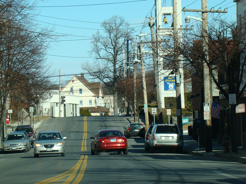
There is a traffic light at Boston Road. East Fordham Road ends here. Turn left onto Boston Road to continue north on US 1. Pelham Parkway is straight ahead.
Photos taken September 2012.
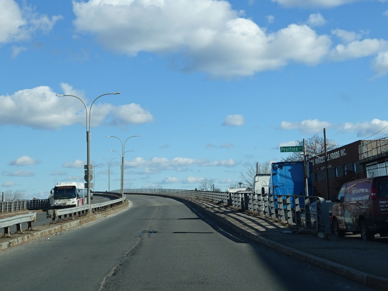
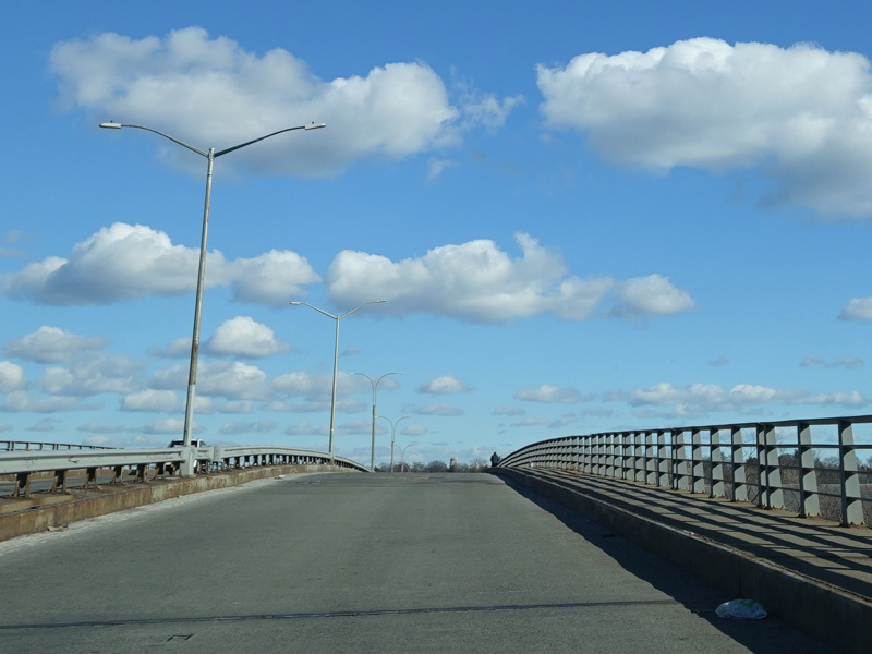
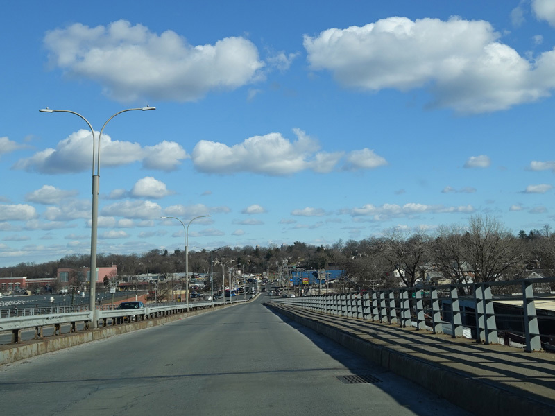
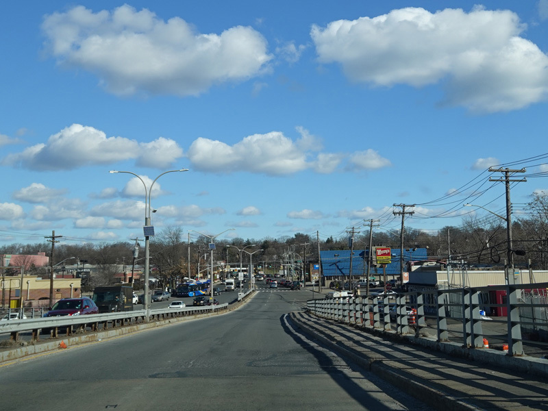
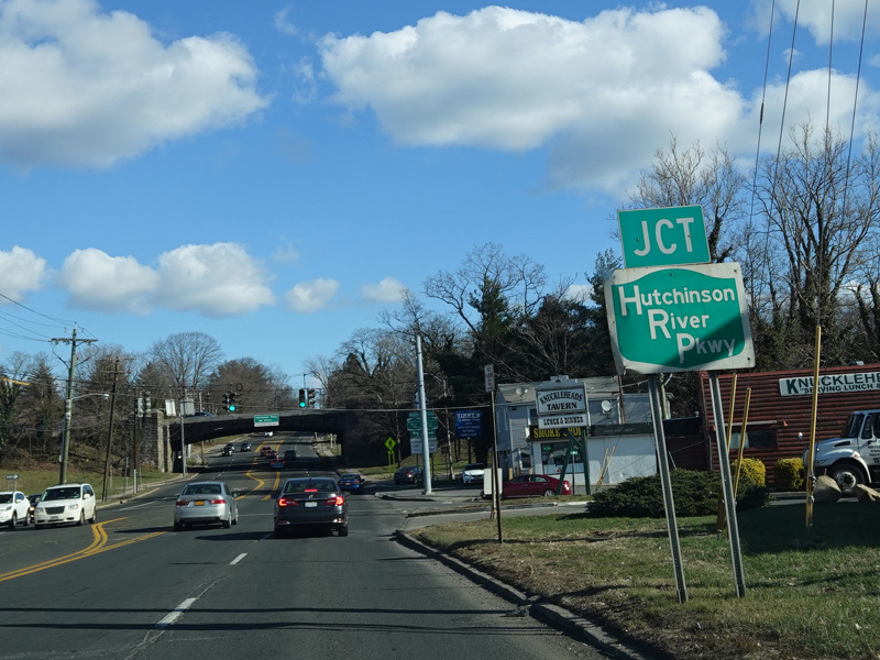
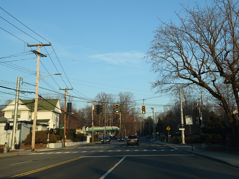
Skipping a few miles to the north, there is a bridge over the Hutchinson River.
Photos taken December 2020.
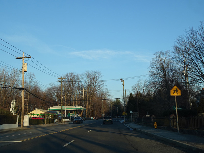
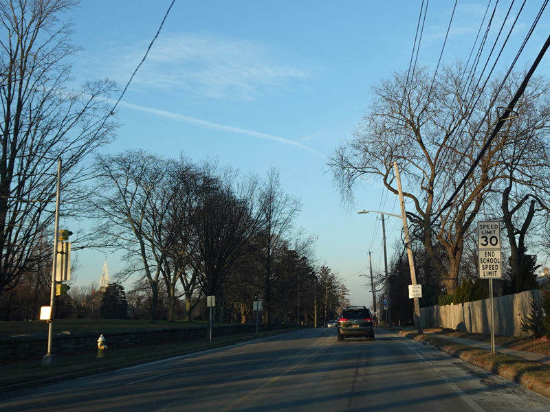
Welcome to Westchester County! Boston Road changes names here to become Boston Post Road. There is no signage for the county line.
Photo taken December 2020.
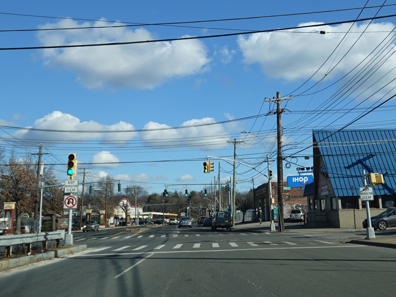
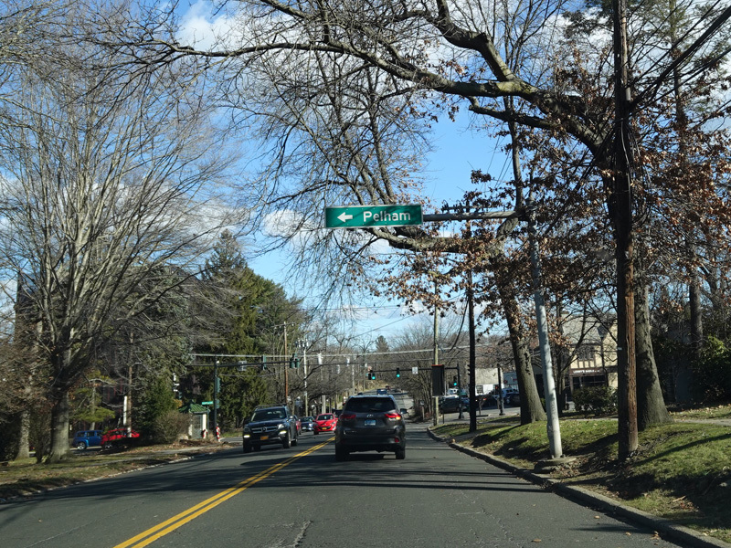
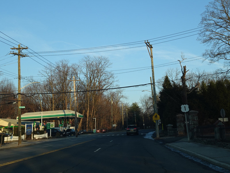
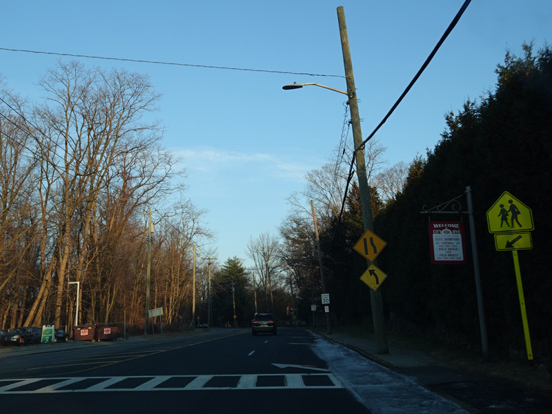
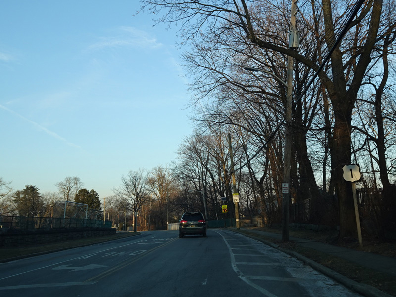
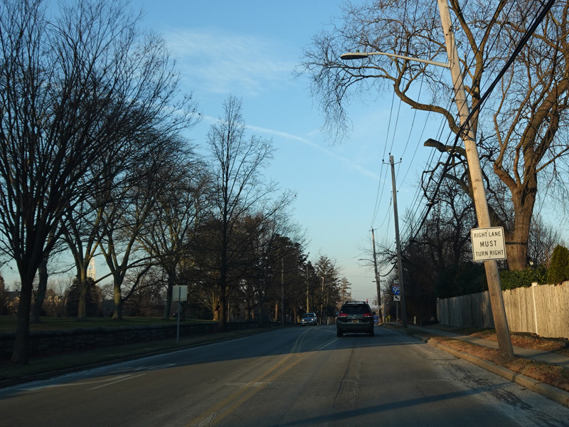
Pelham Parkway (CR 70) begins on the left at a traffic light.
Photo taken December 2020.
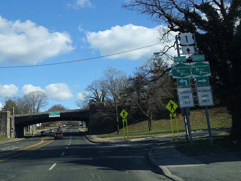
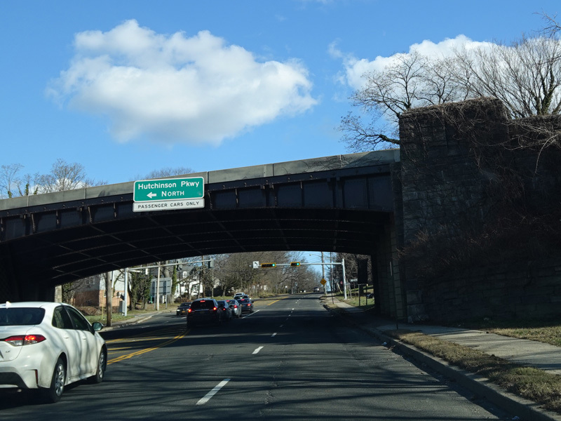

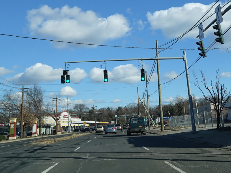
There is an interchange with the Hutchinson Parkway.
Photos taken December 2020.
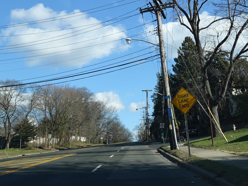
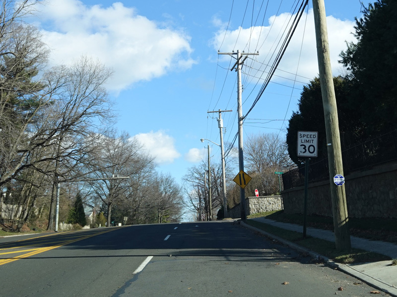
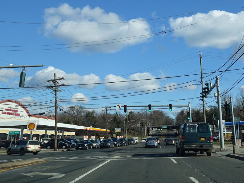
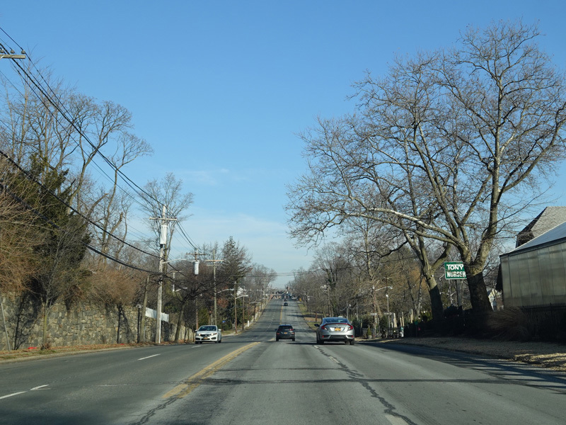
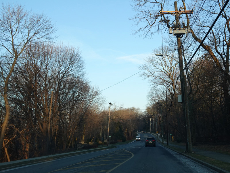
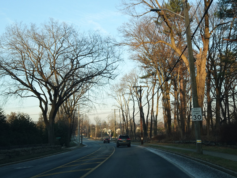
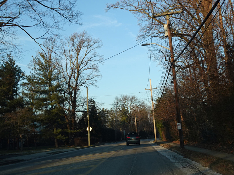
After the parkway, Boston Post Road narrows down to two lanes.
Photos taken December 2020.
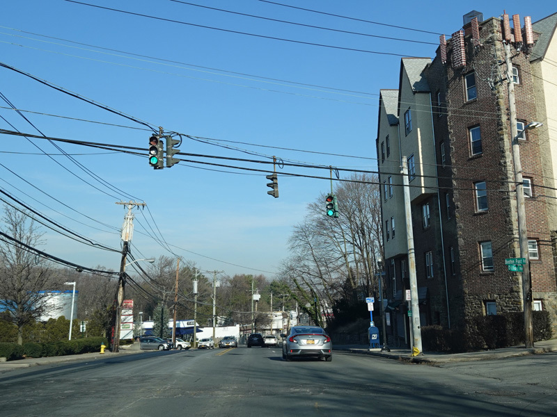
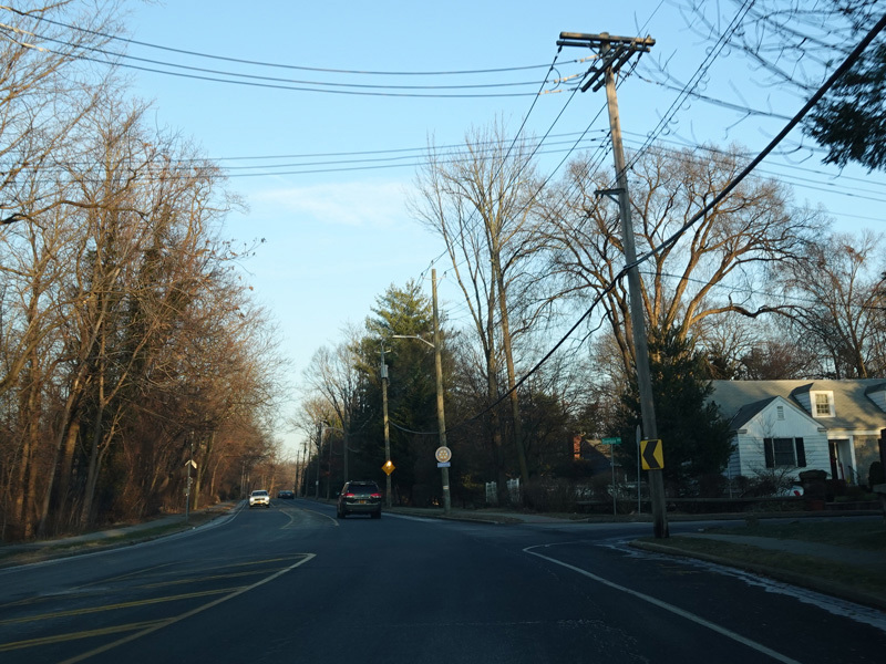
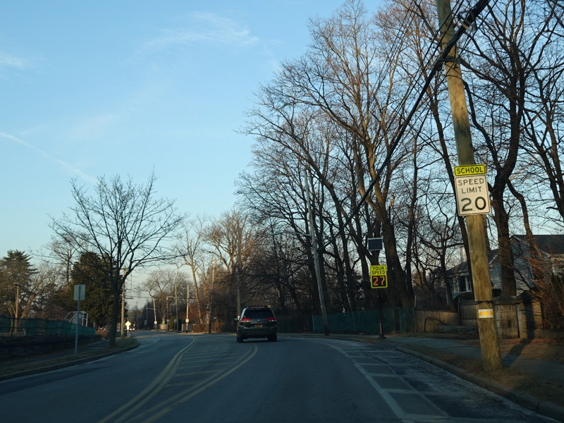
There is a traffic light at Pelhamdale Avenue.
Photos taken December 2020.
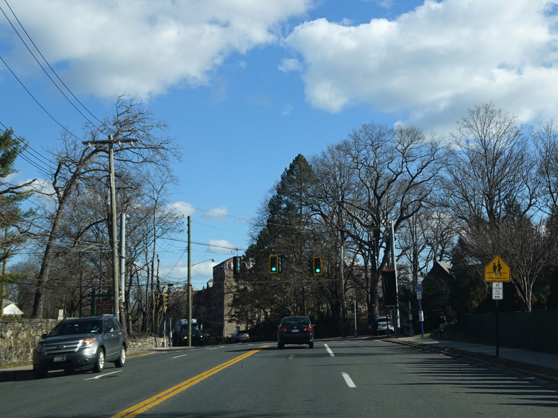
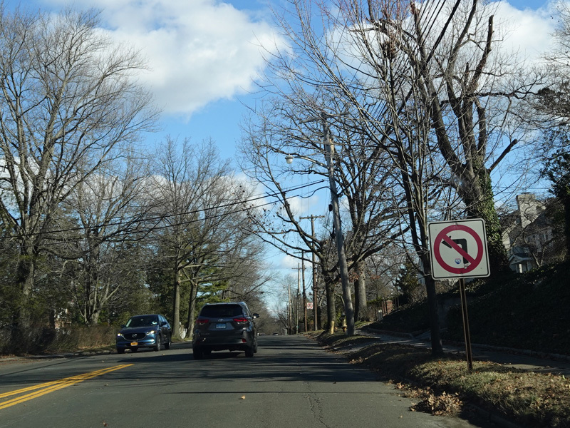
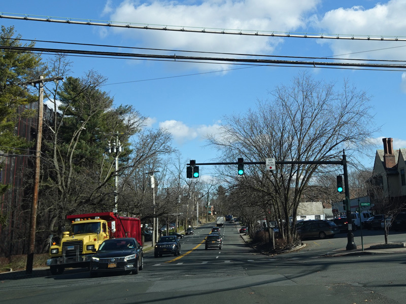
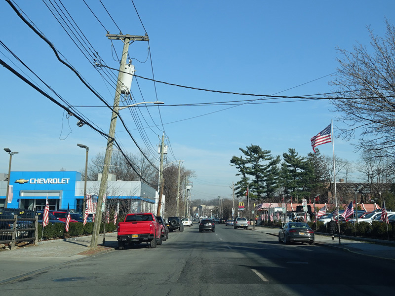
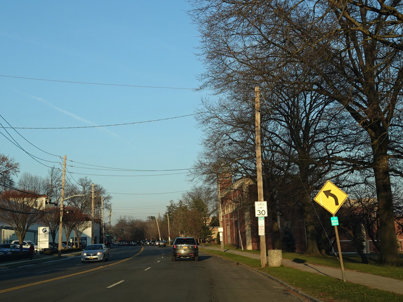
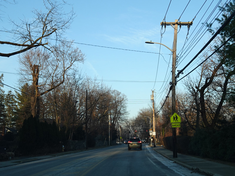
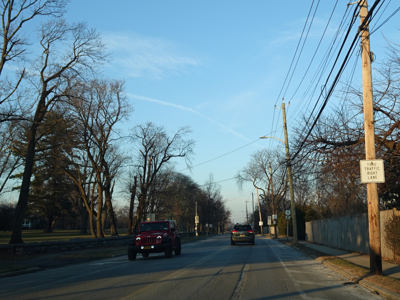
Boston Post Road widens to four lanes to continue northeast to New Rochelle.
Photos taken December 2020.
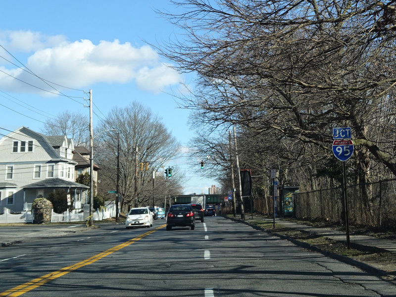
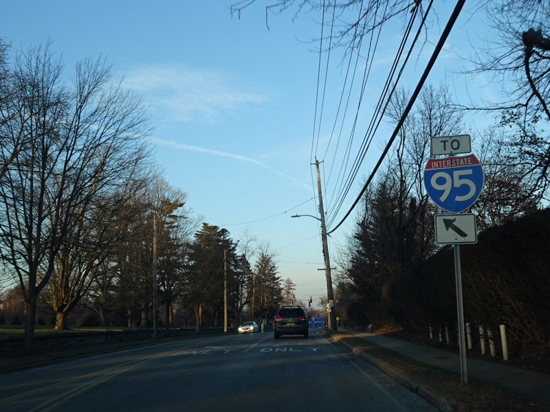
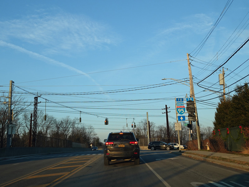
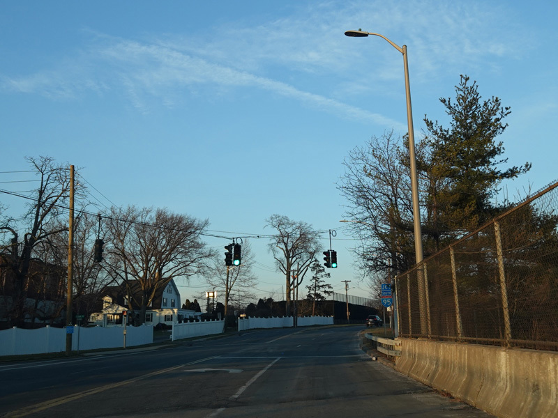
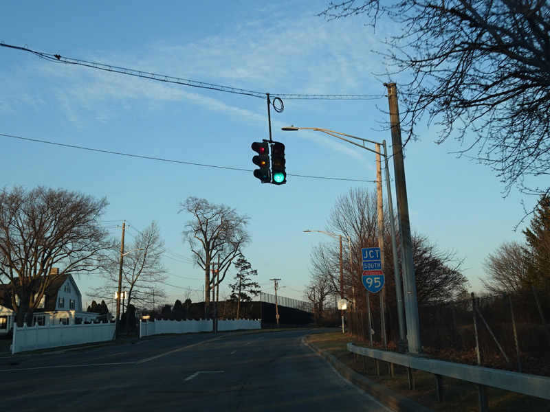
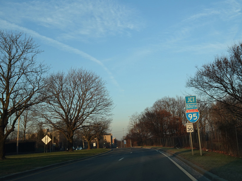
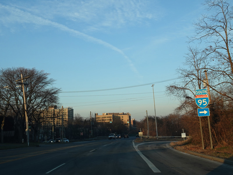
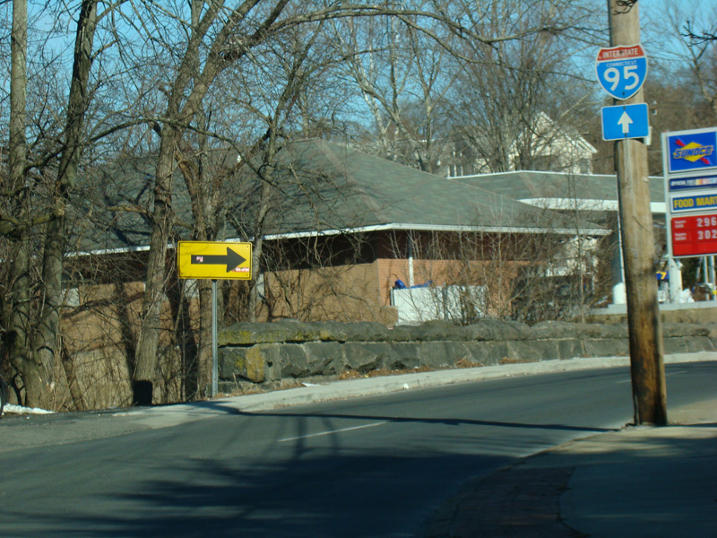
There is an interchange with the New England Thruway (I-95).
Photos taken December 2020.
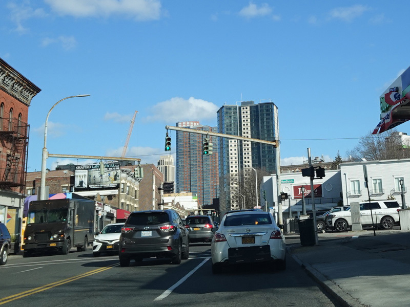
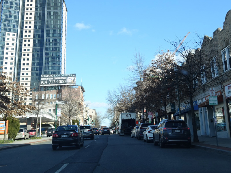
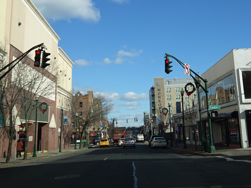
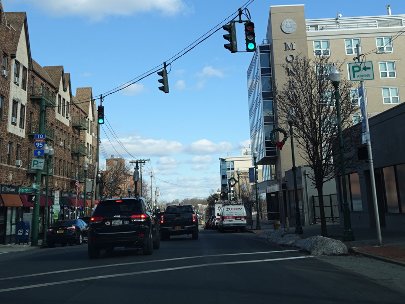
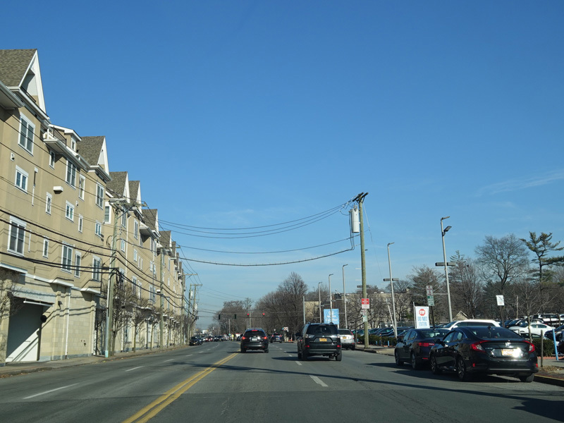
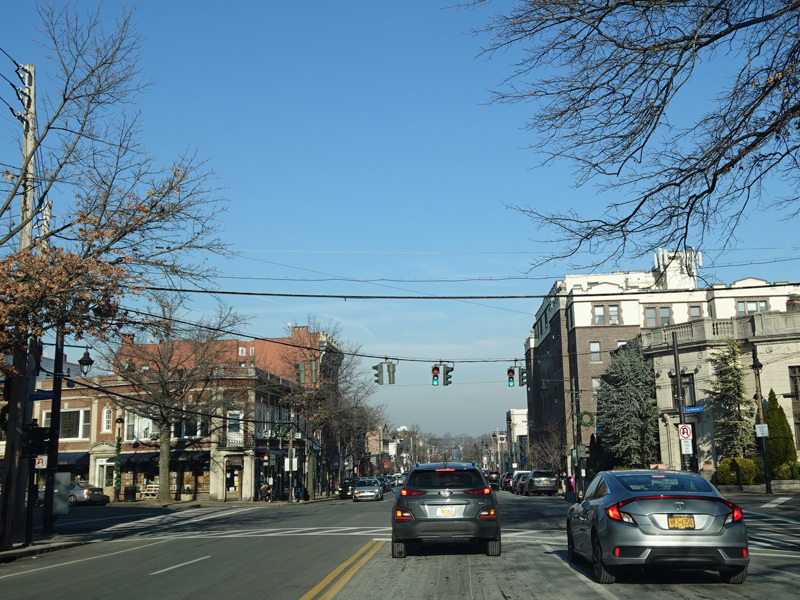
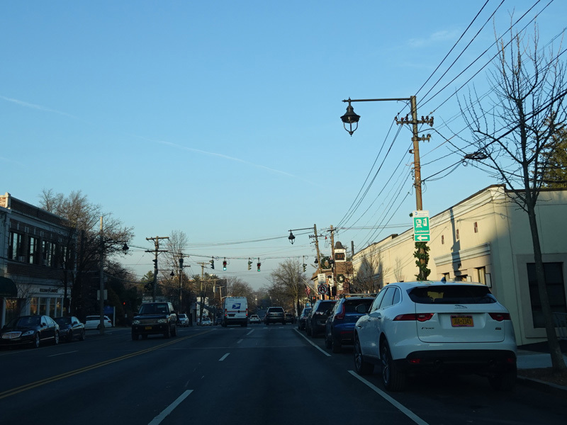
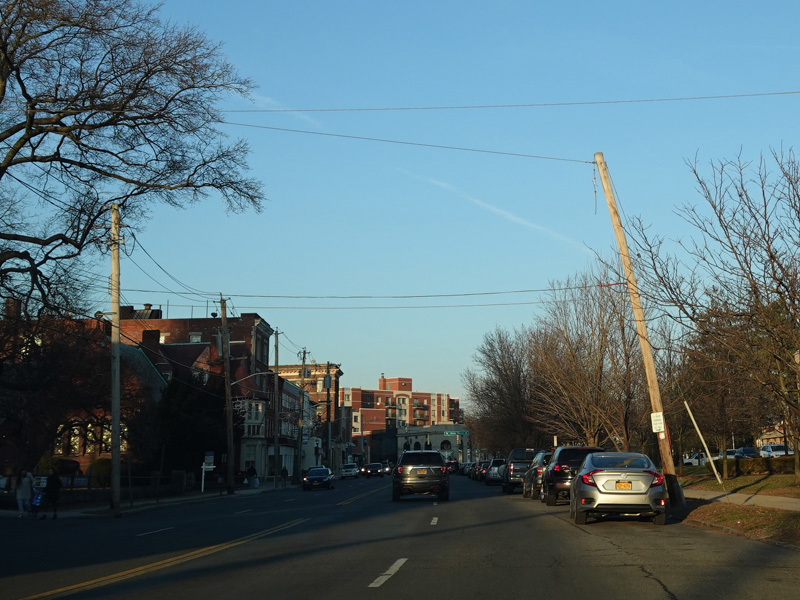
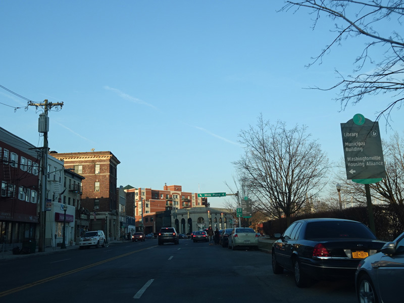
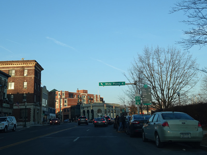
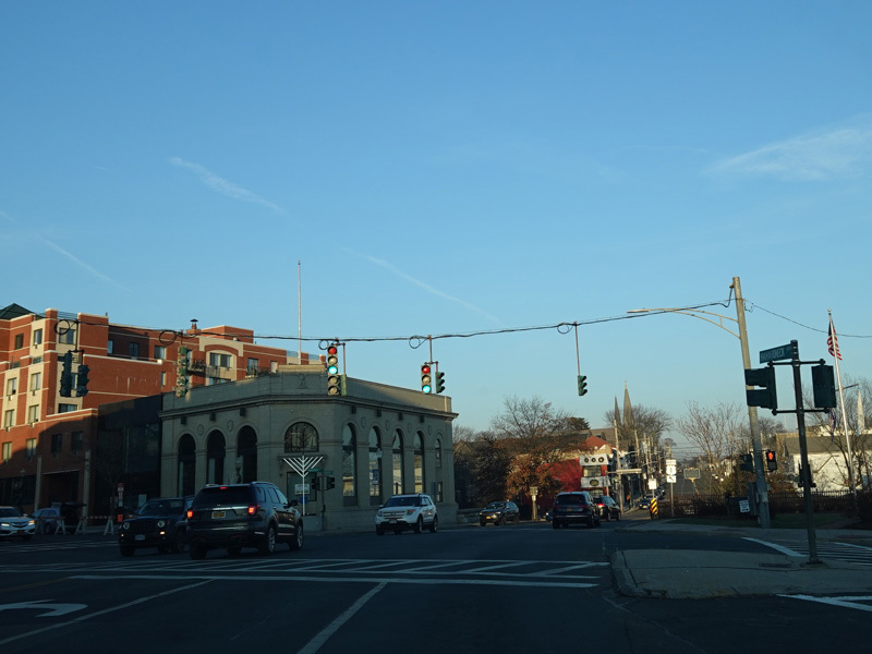
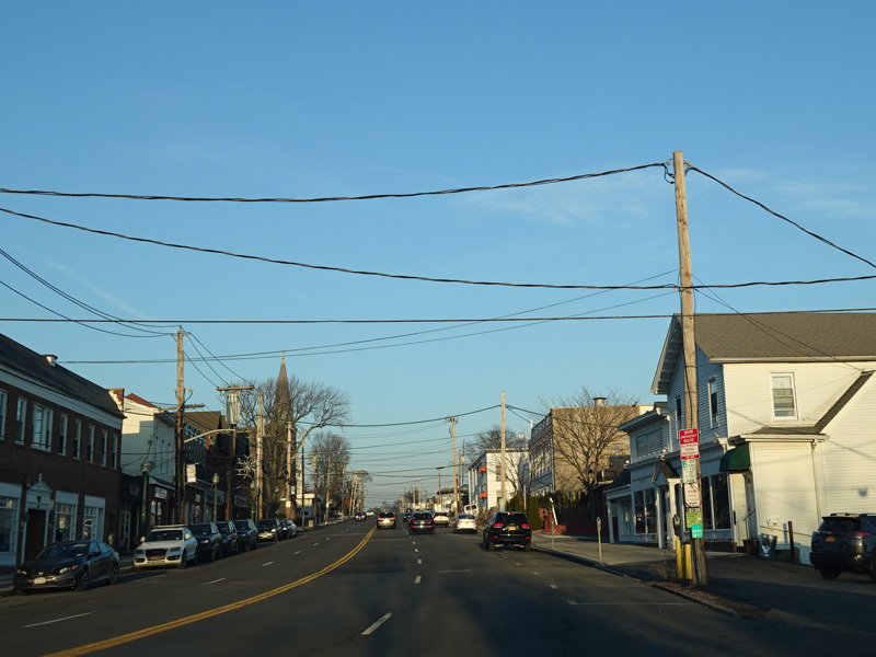
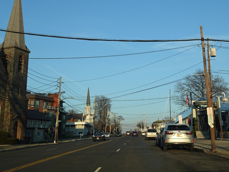
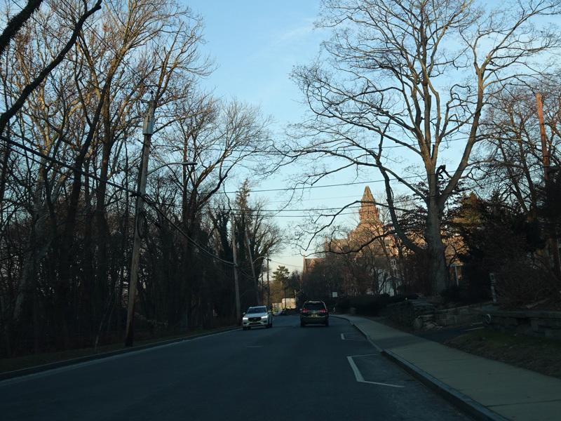
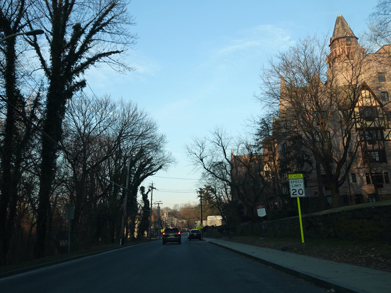
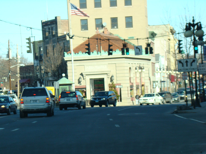
In New Rochelle, US 1 is known as Main Street. It passes under Amtrak railroad tracks and then runs northeast as a four-lane undivided road.
Photos taken December 2020.
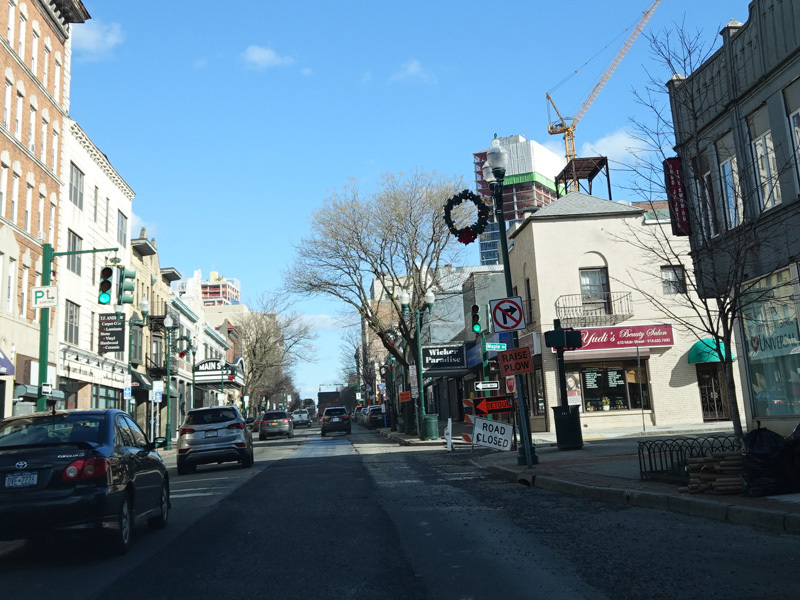
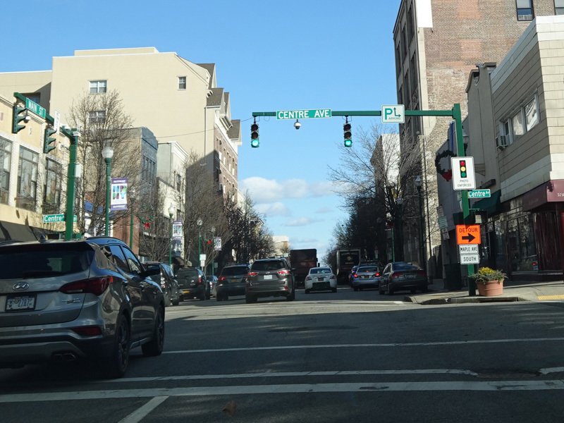
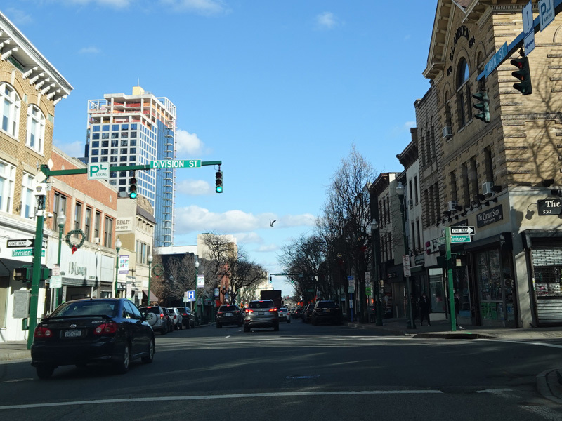
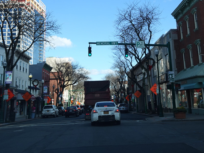
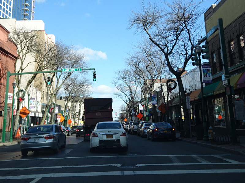
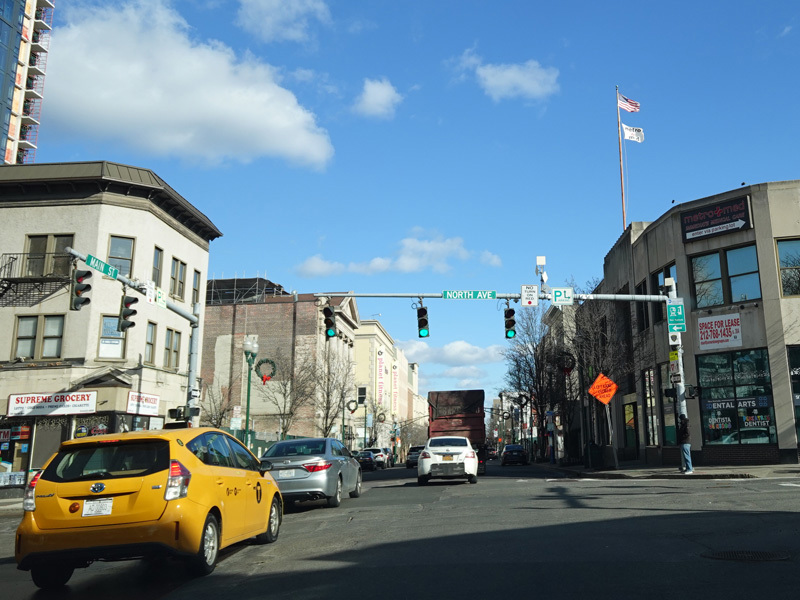
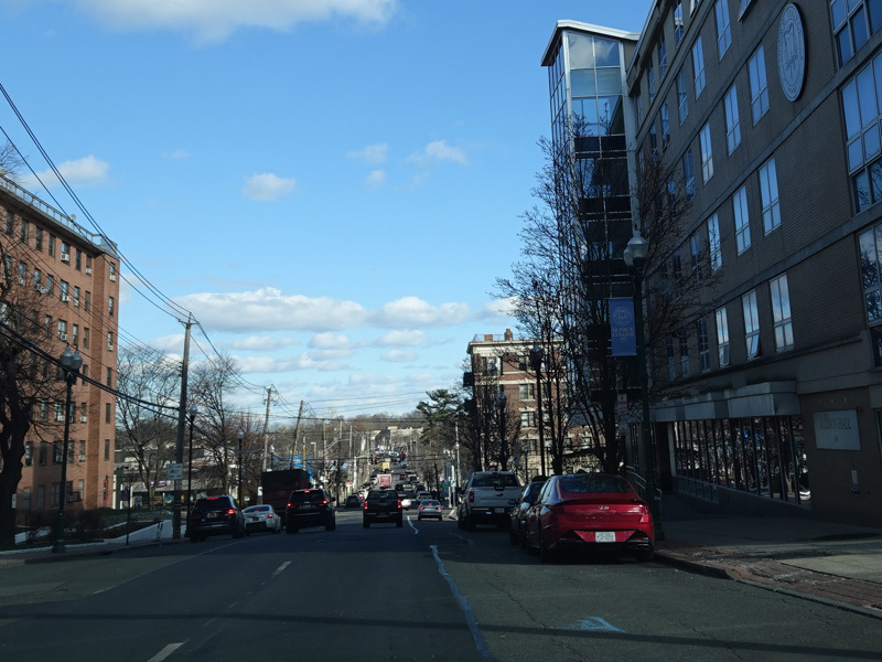
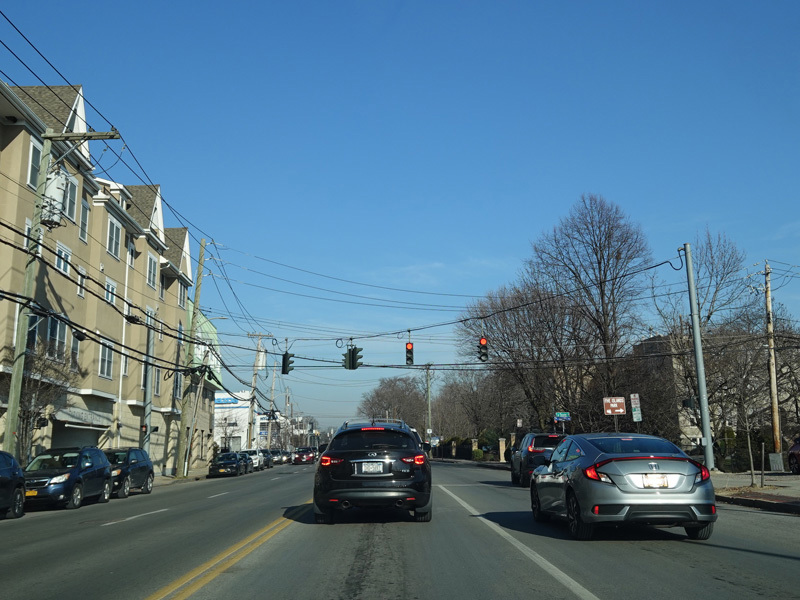
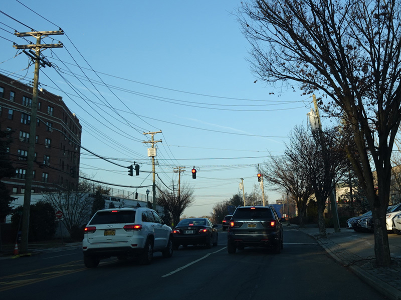
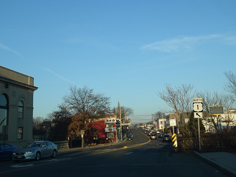
Main Street becomes a northbound one-way street, which southbound traffic follows Huguenot Street. There are traffic lights at Centre Avenue, Division Street, Memorial Highway, Lawton Street, and North Avenue (CR 81).
Photos taken December 2020.
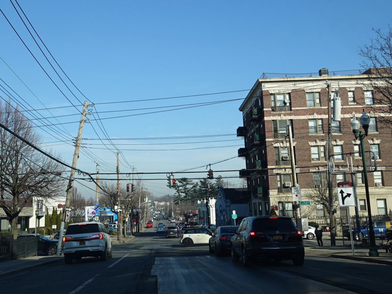
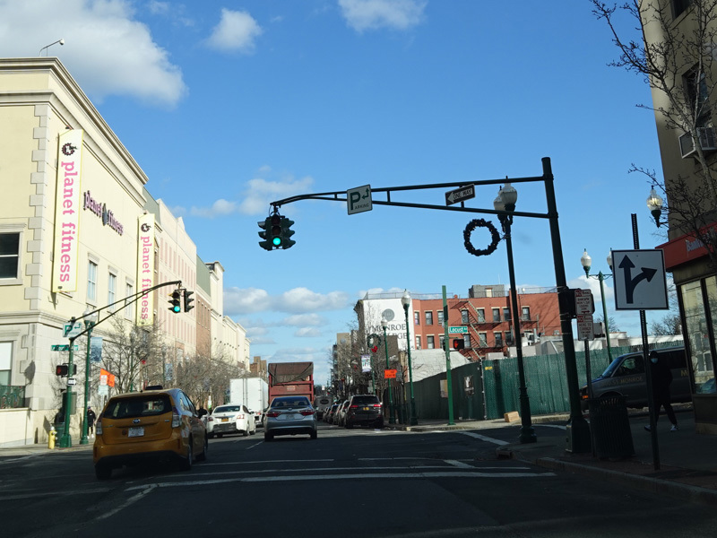
There is a traffic light at Echo Avenue (CR 65). Turn right to go south. Straight ahead, CR 65 is multiplexed with US 1 along Main Street to the city line.
Photos taken December 2019.
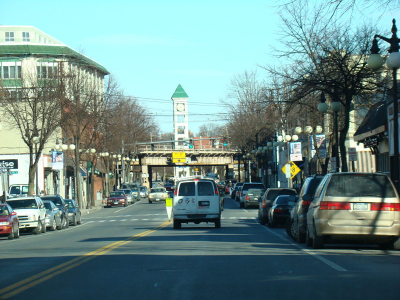
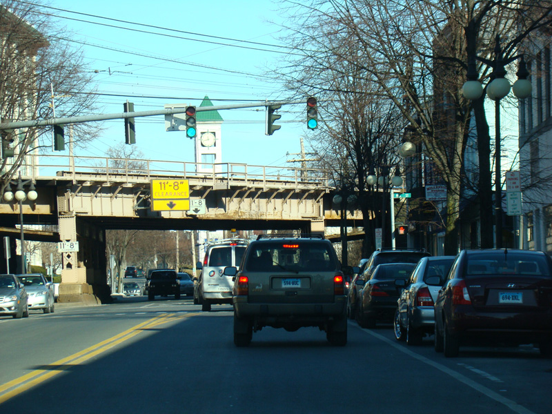
Main Street continues for one more block as a one-way street.
Photos taken December 2019.
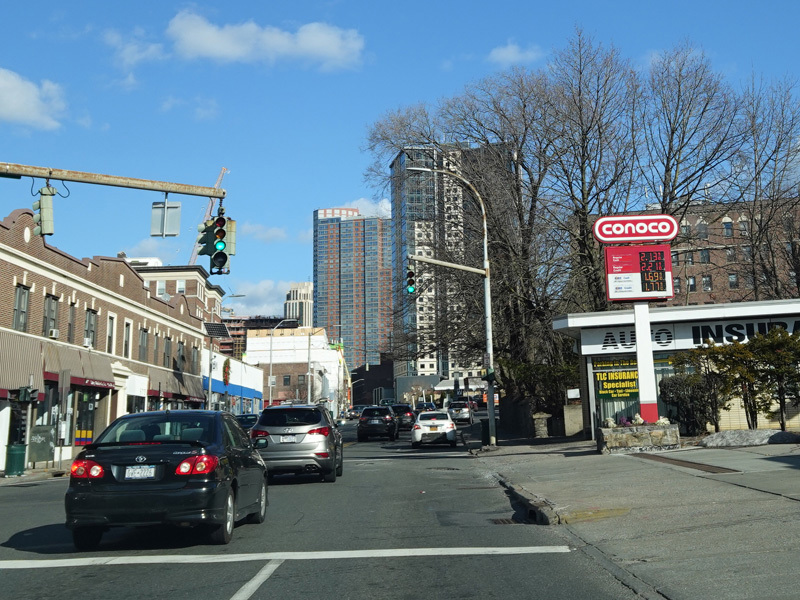
Main Street merges back together with Huguenot Street to form a four-lane divided road.
Photos taken December 2019.
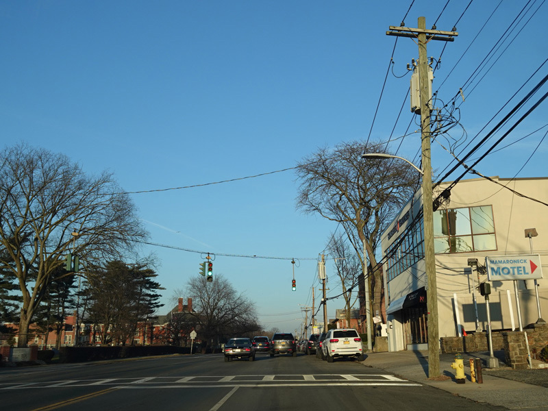
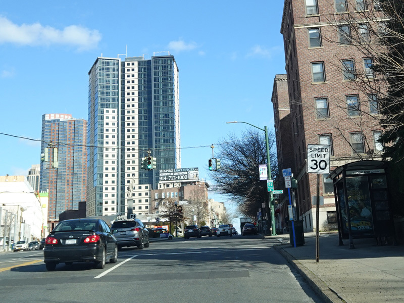
At the city line, CR 65 ends and US 1 goes back to being known as Boston Post Road. It runs northeast through Larchmont and Mamaroneck. Weaver Street (NY 125) begins on the left along this stretch, but there is no signage for it. There are also no town or village line signs on here.
Photos taken December 2019.
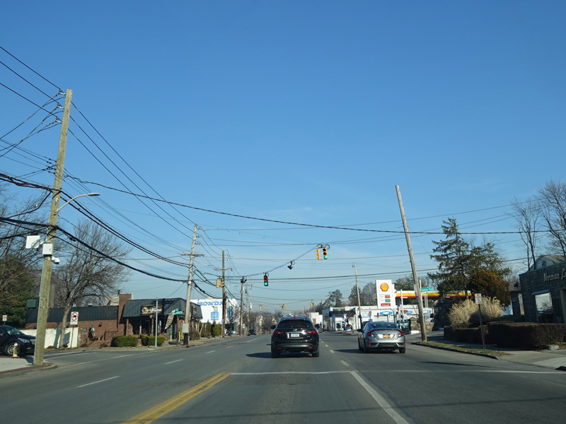
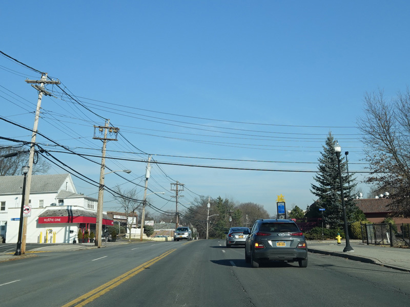
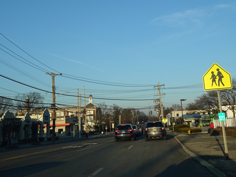
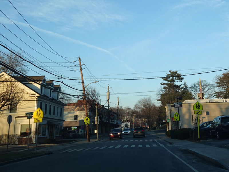
There is a traffic light at Mamaroneck Avenue, which is a local street here but becomes CR 8D a few blocks north of here to the left.
Photos taken December 2019.
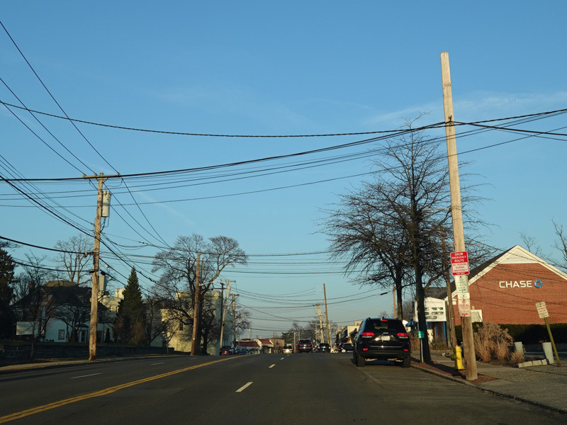
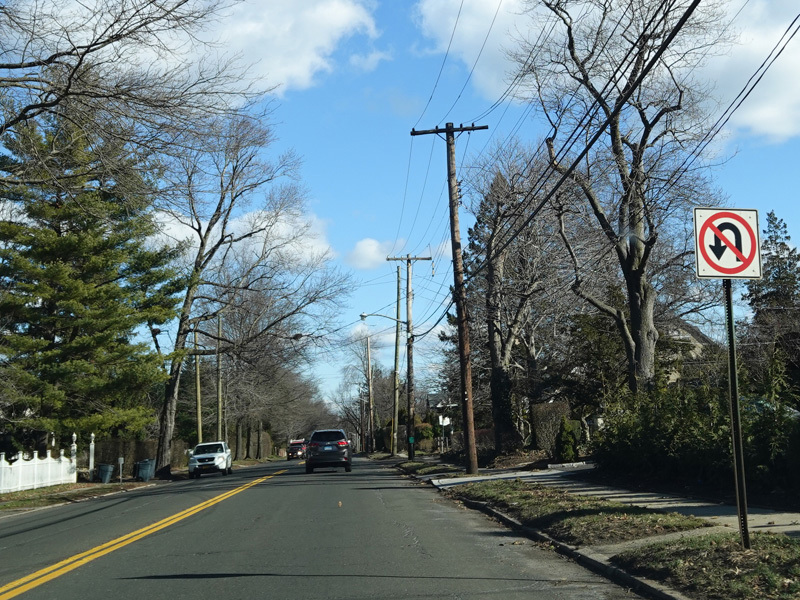
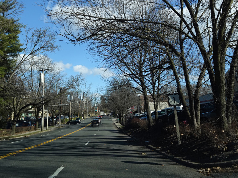
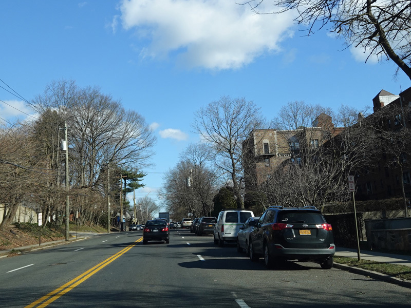
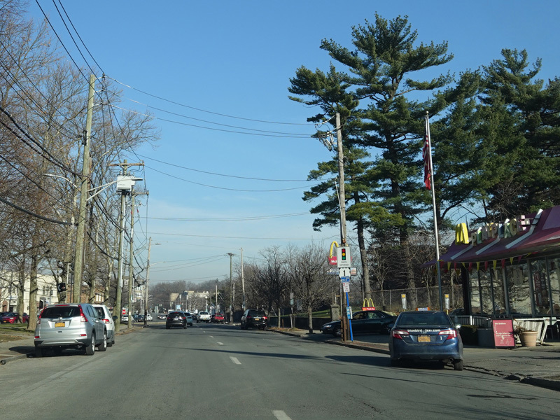
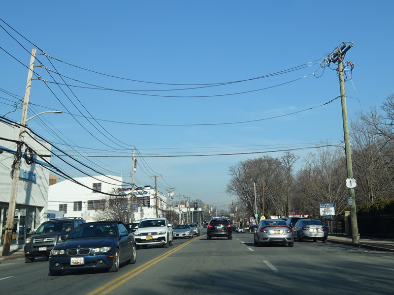
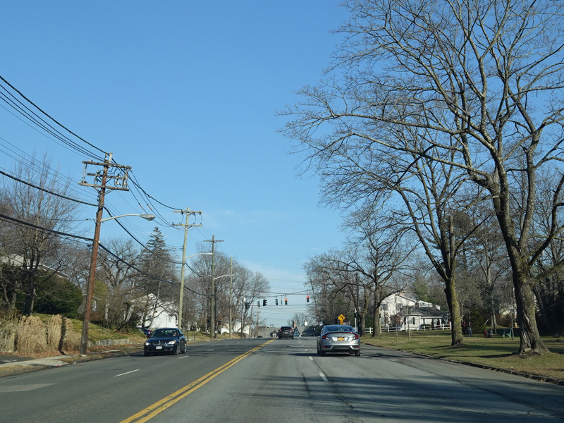
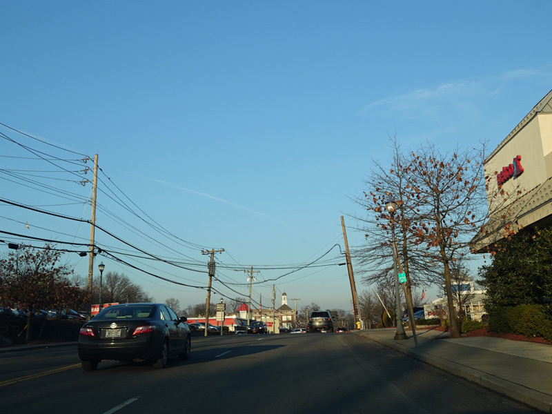
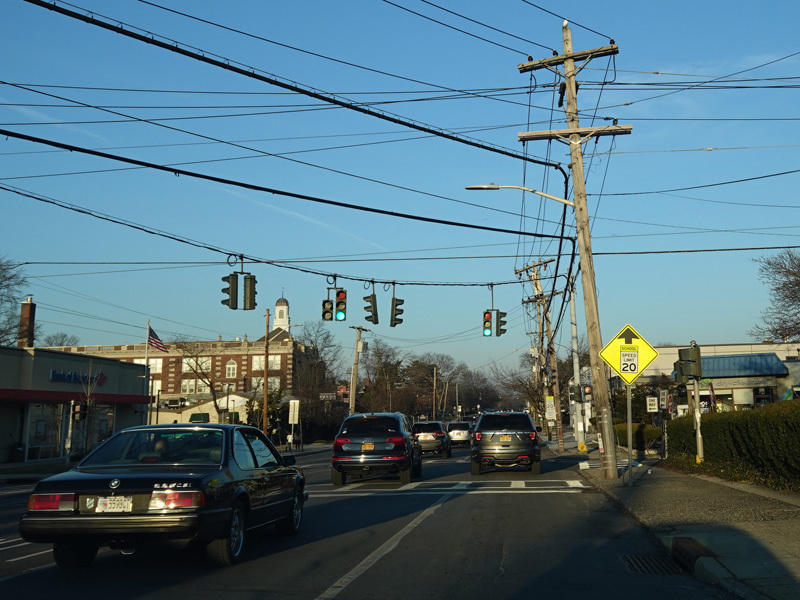
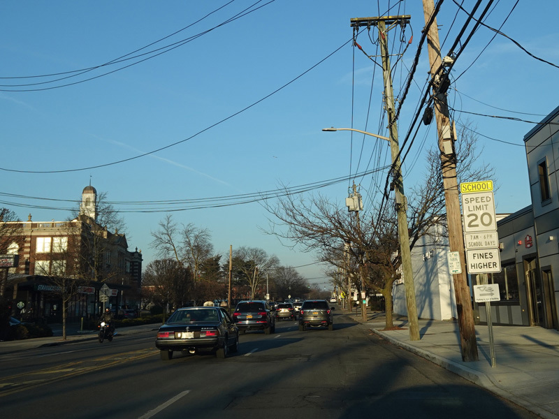
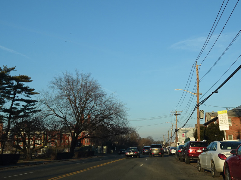
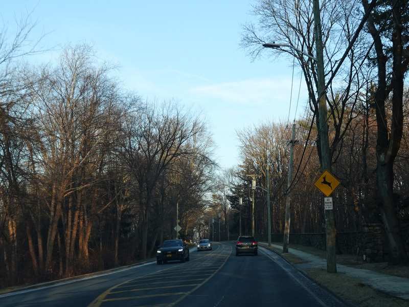
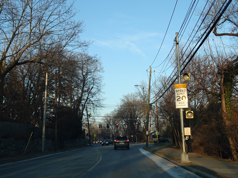
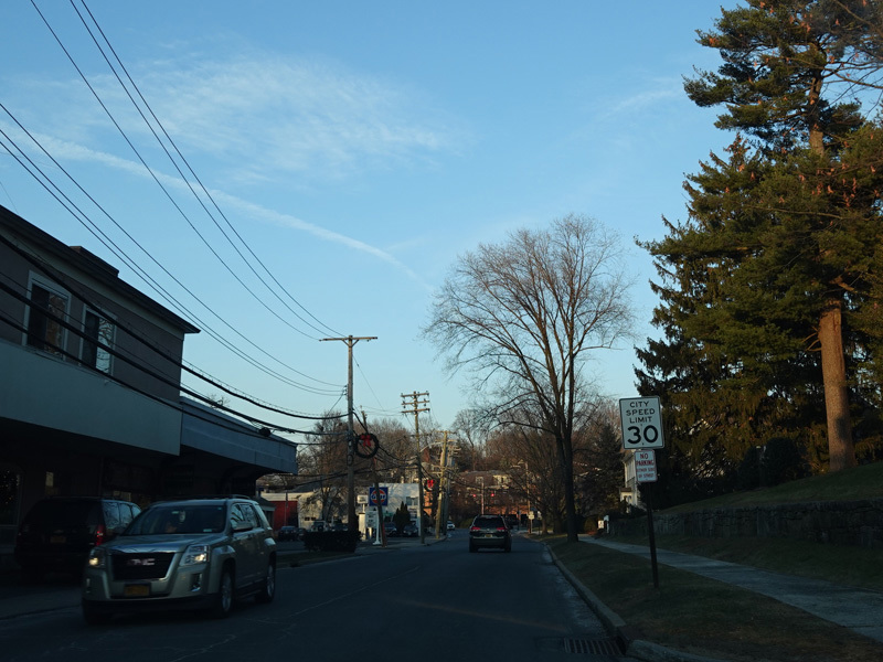
Boston Post Road continues northeast through Mamaroneck.
Photos taken December 2019.
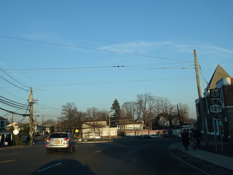
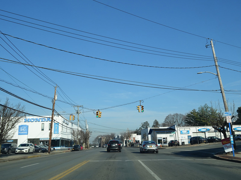
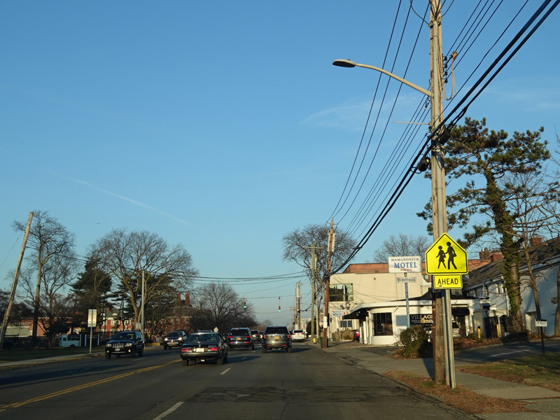
Keeler Avenue (NY 127) begins on the left at an uncontrolled intersection.
Photo taken December 2019.
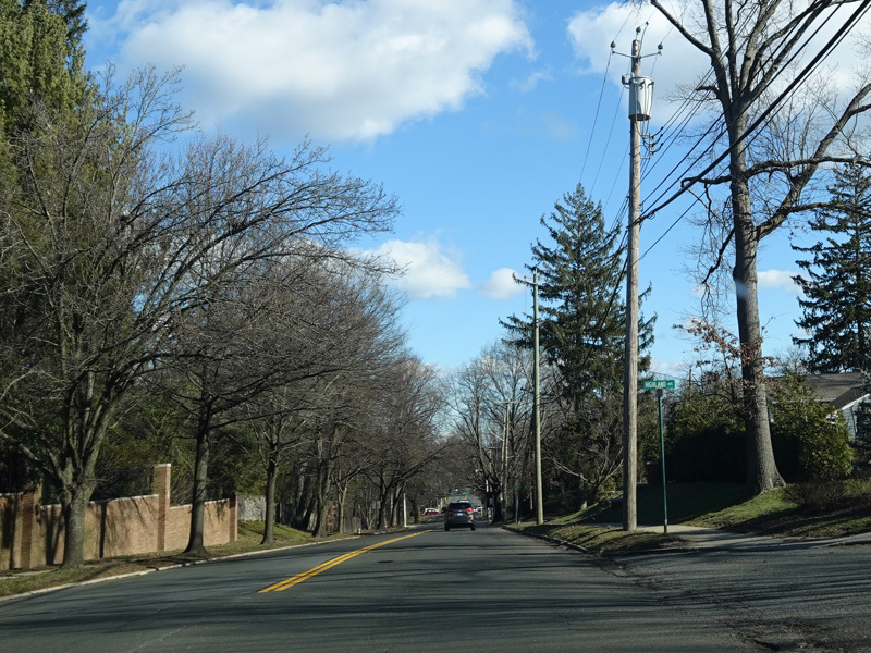
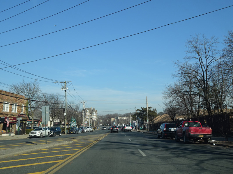
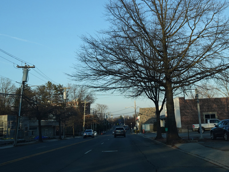
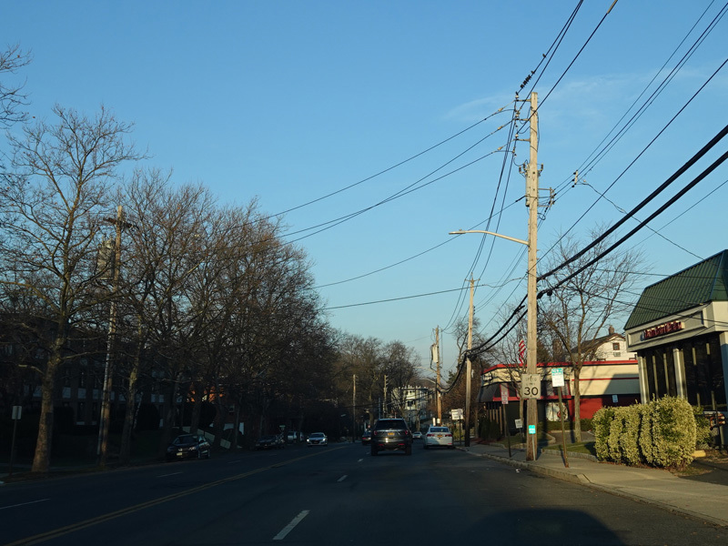
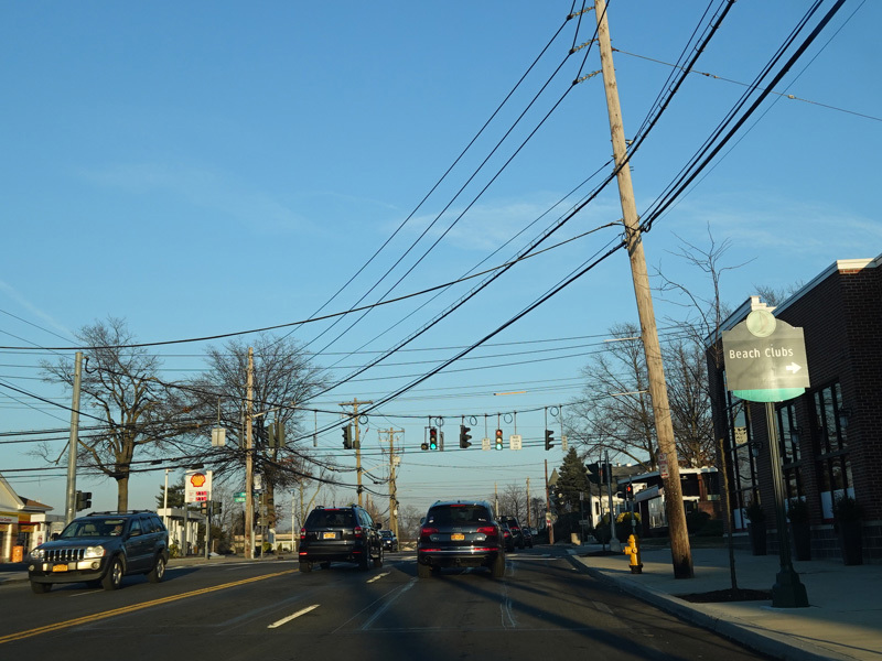
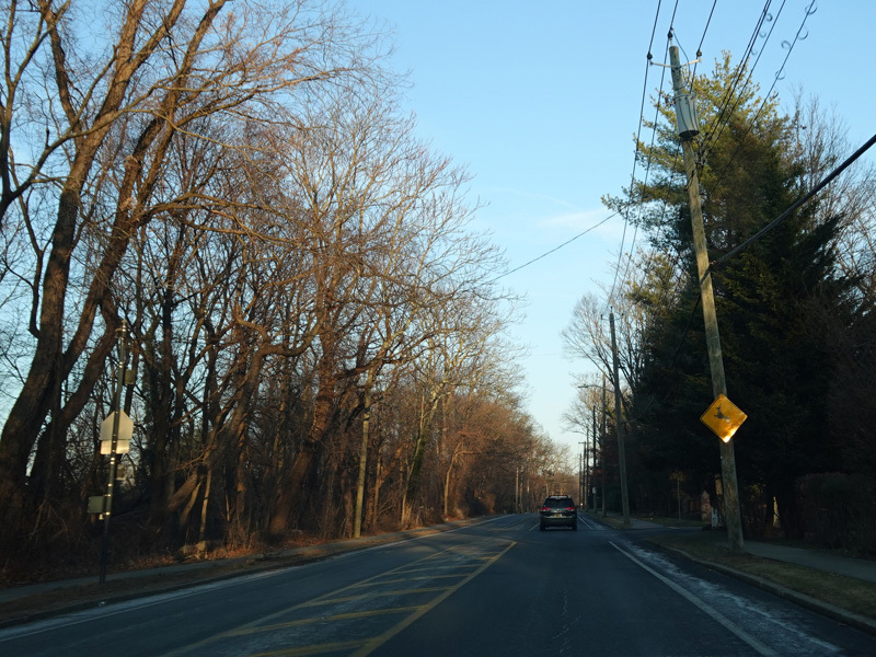
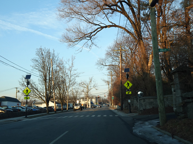
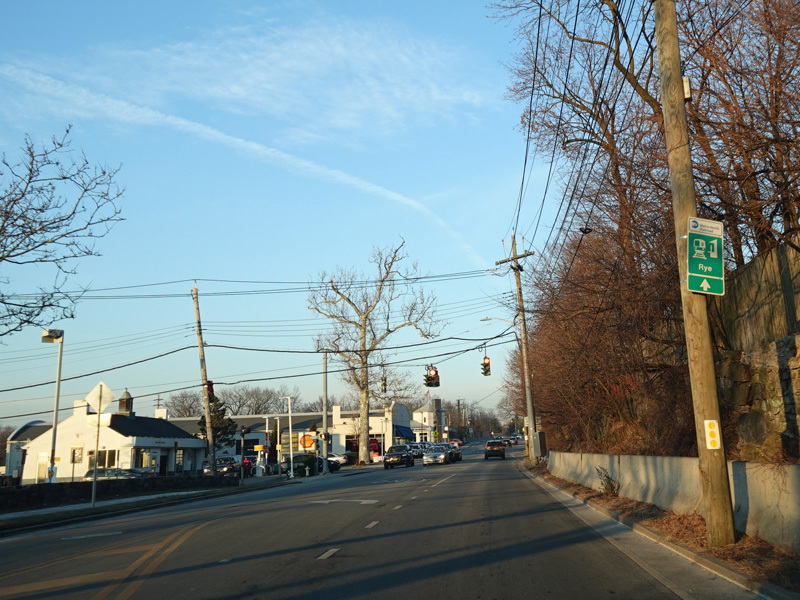
Boston Post Road continues northeast to Rye.
Photos taken December 2019.
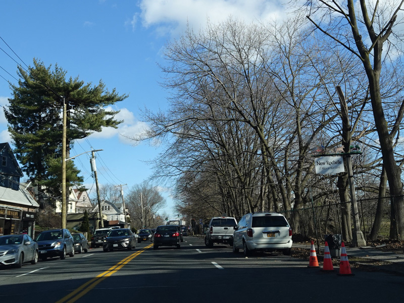
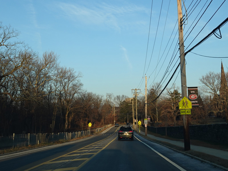
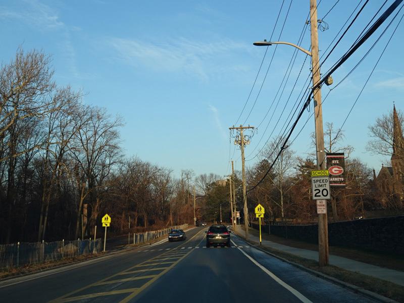
Welcome to Rye! Boston Post Road narrows down to two lanes. Once again, there is no signage for the city line.
Photos taken December 2019.
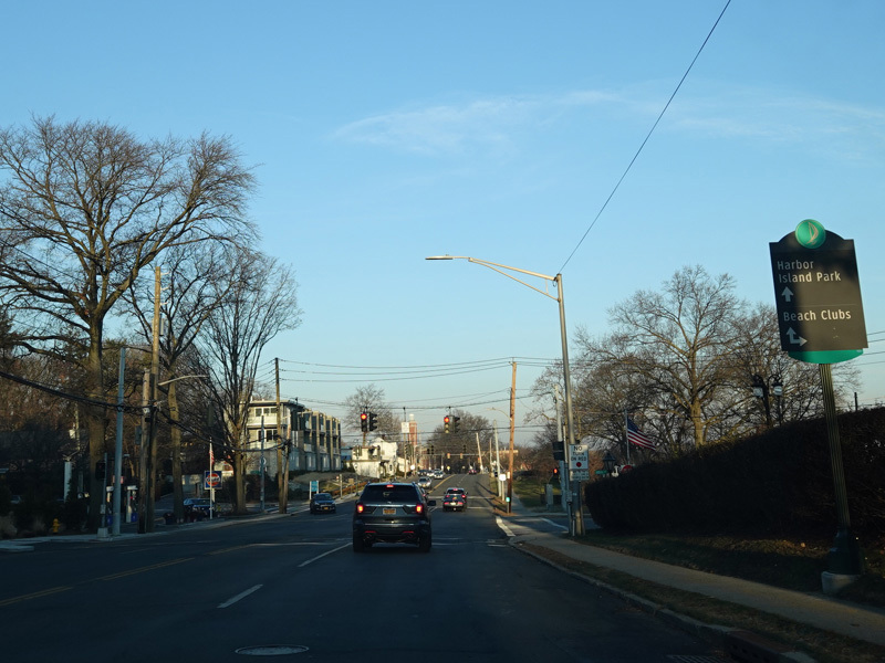
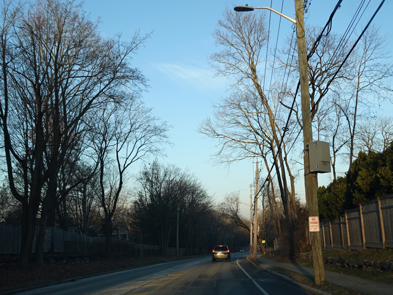
North Street (CR 73) begins on the left at a traffic light. Turn left here for access to the New England Thruway (I-95) via Playland Parkway.
Photos taken December 2019.
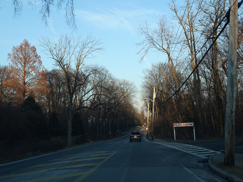
There is an entrance to Playland Parkway east.
Photos taken December 2019.
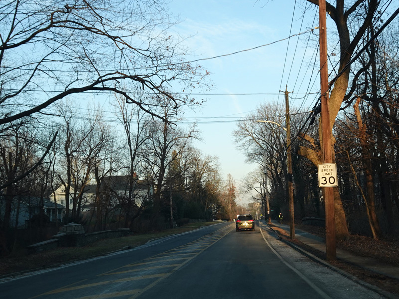
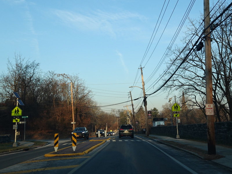
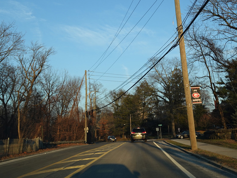
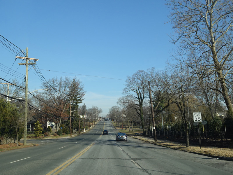
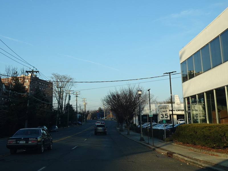
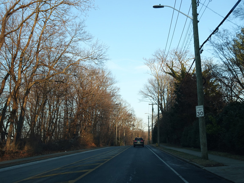
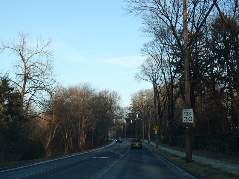
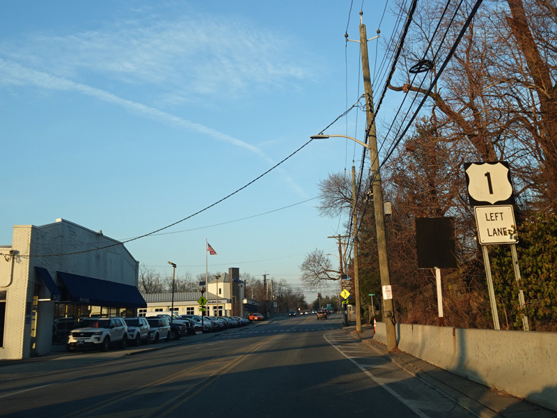
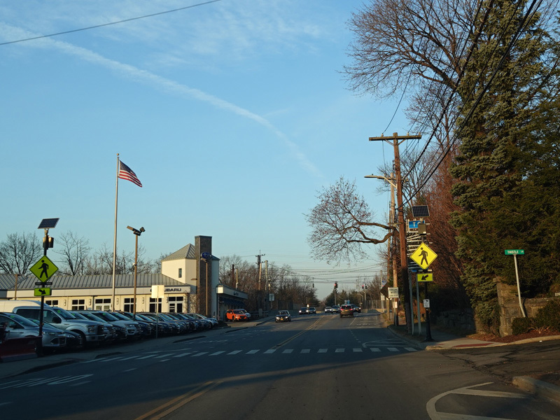
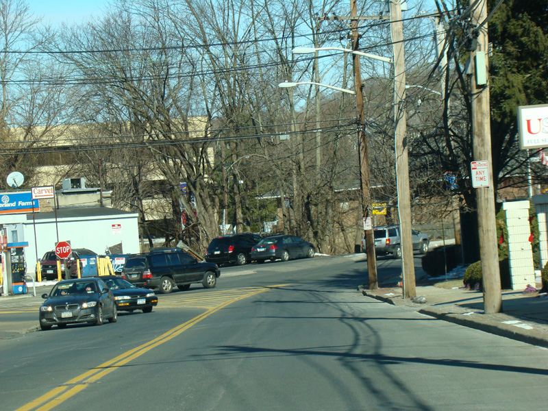
Boston Post Road continues through Rye as a two-lane undivided road.
Photos taken December 2019.
There is a short section with no line down the middle.
Photos taken December 2019.
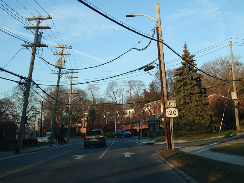
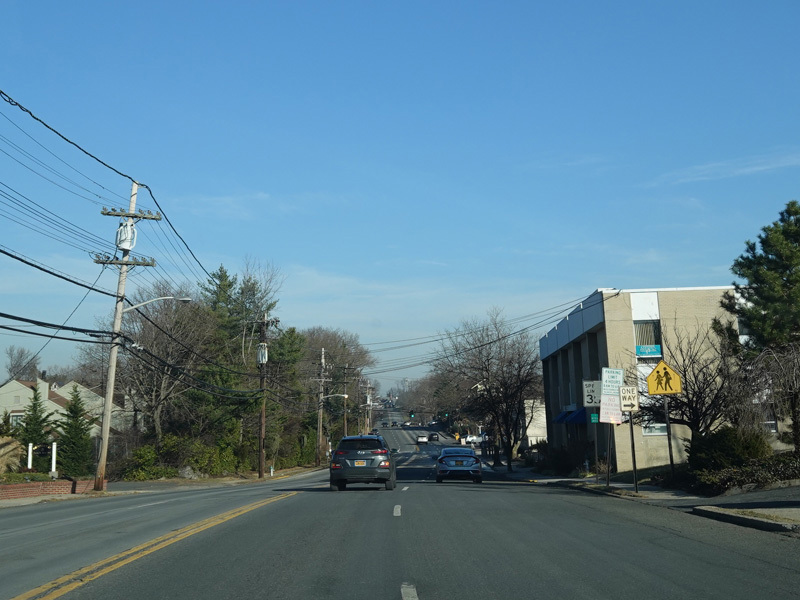
Pavement markings resume. Purchase Street (NY 120) begins on the left at a traffic light.
Photos taken December 2019.
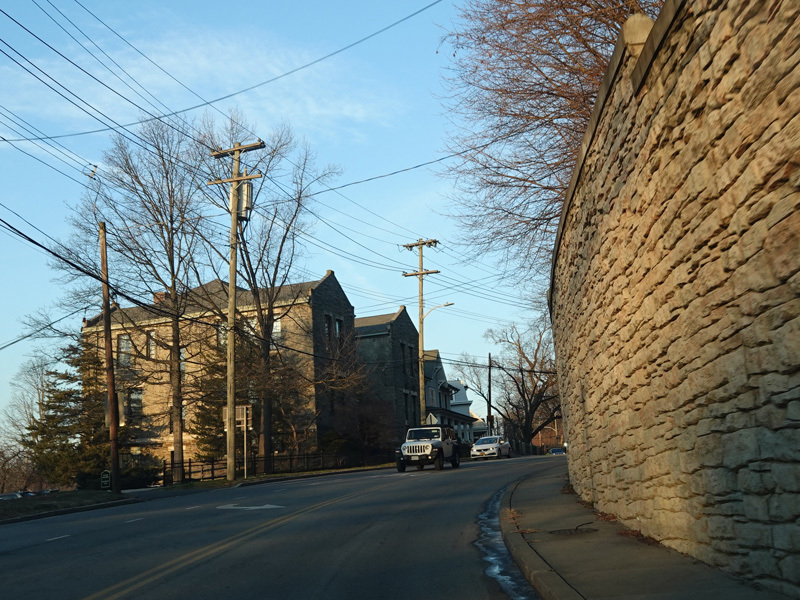
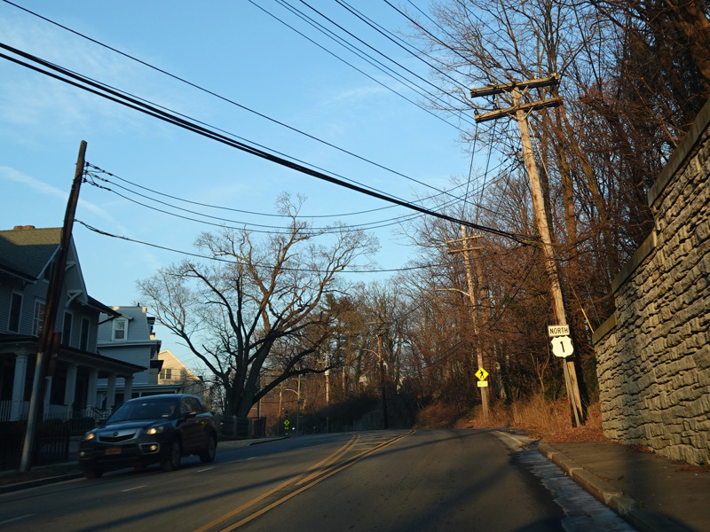
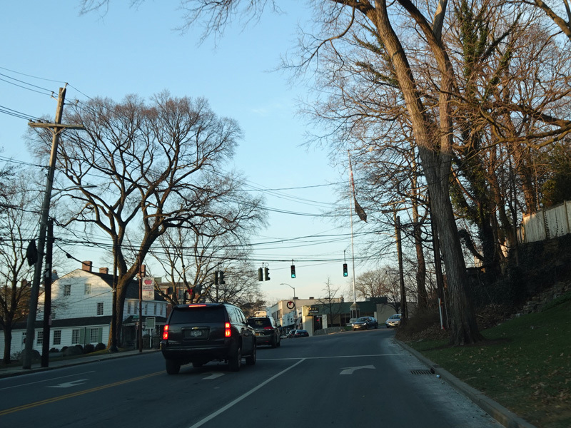
Boston Post Road heads uphill.
Photos taken December 2019.
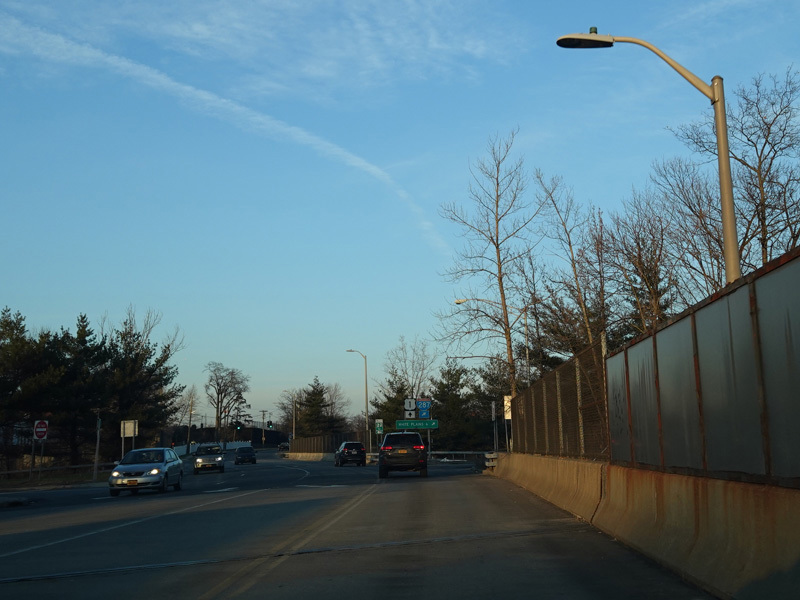
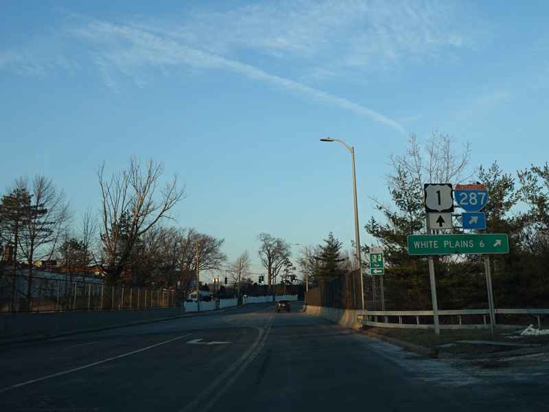
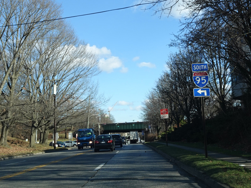
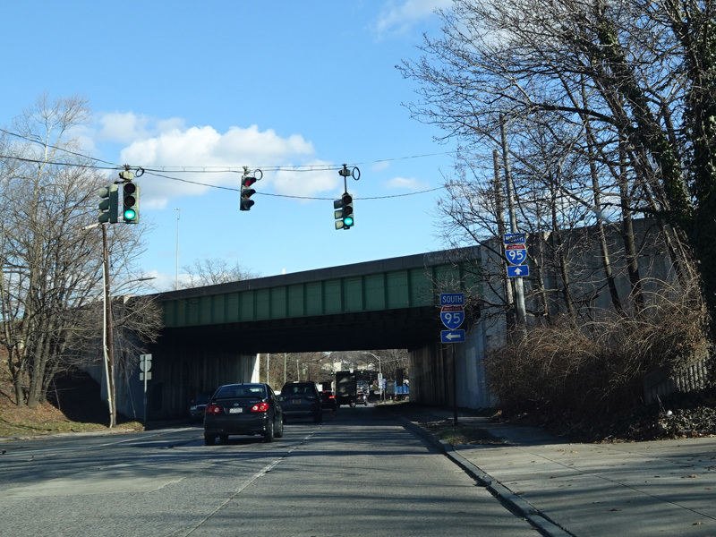
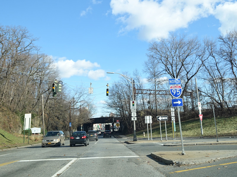
There are entrances to the Cross Westchester Expressway (I-287) and the New England Thruway (I-95). This is an interesting interchange where the ramp to each highway diverges from Boston Post Road as it crosses the other highway. These ramps then merge into the ramps connecting the two highways to each other.
Photos taken December 2019.
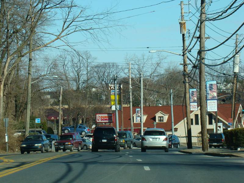
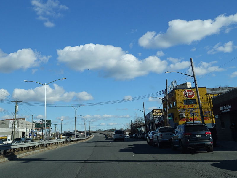
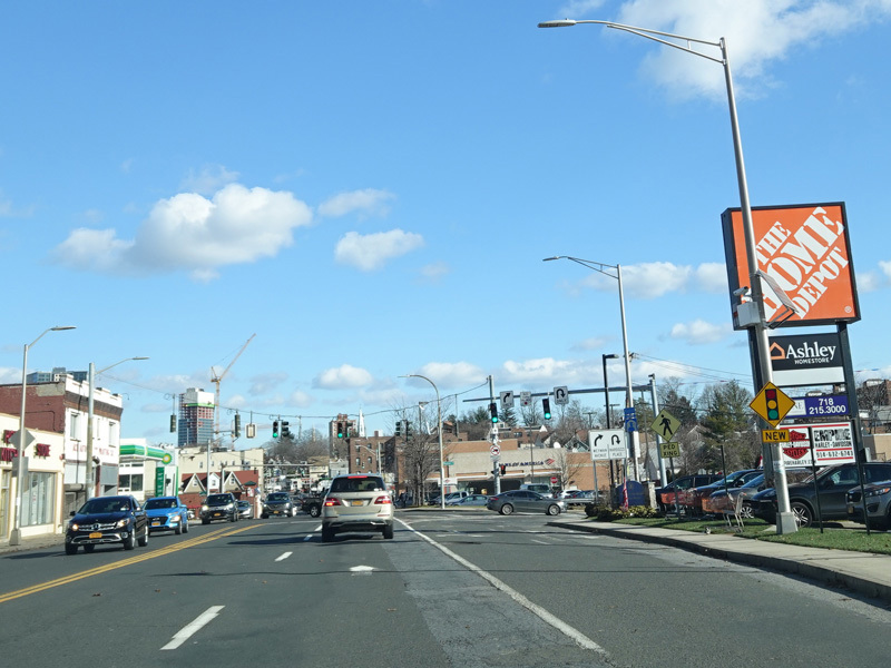
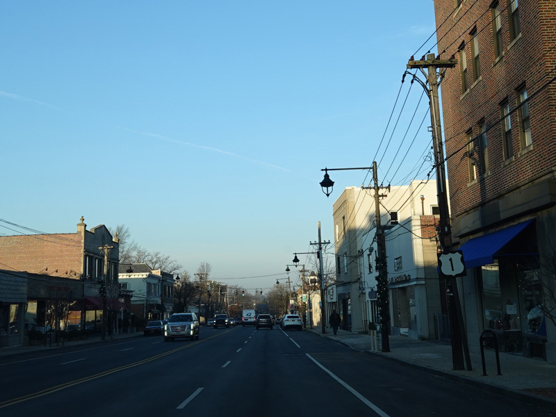
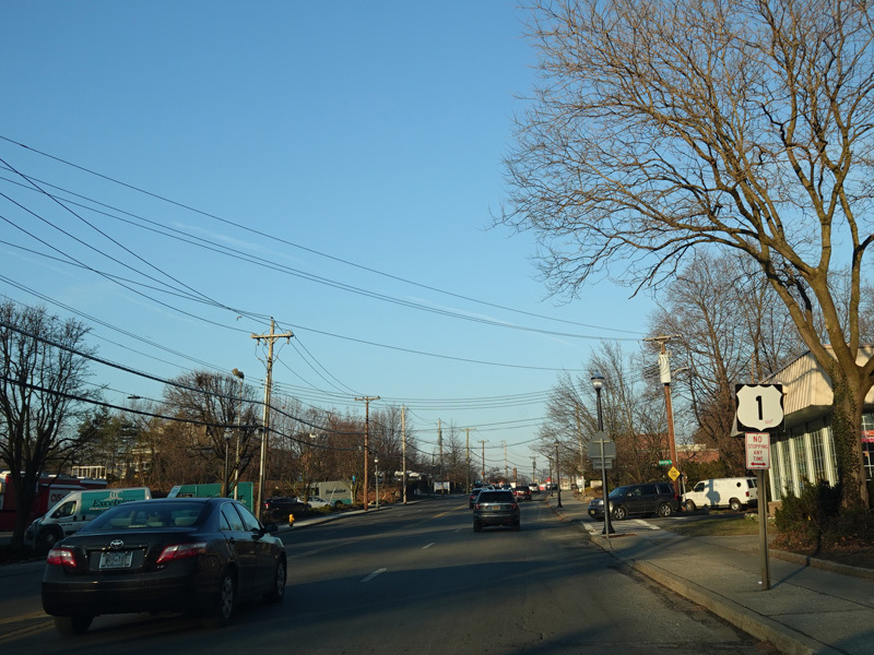
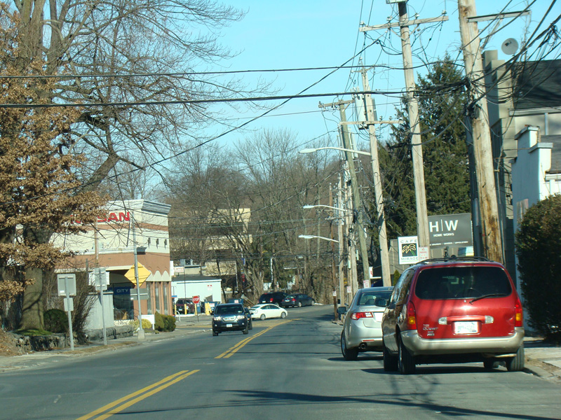
Welcome to Port Chester! Boston Post Road runs north as a four-lane undivided road.
Photos taken January 2010.
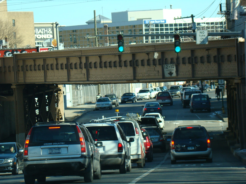
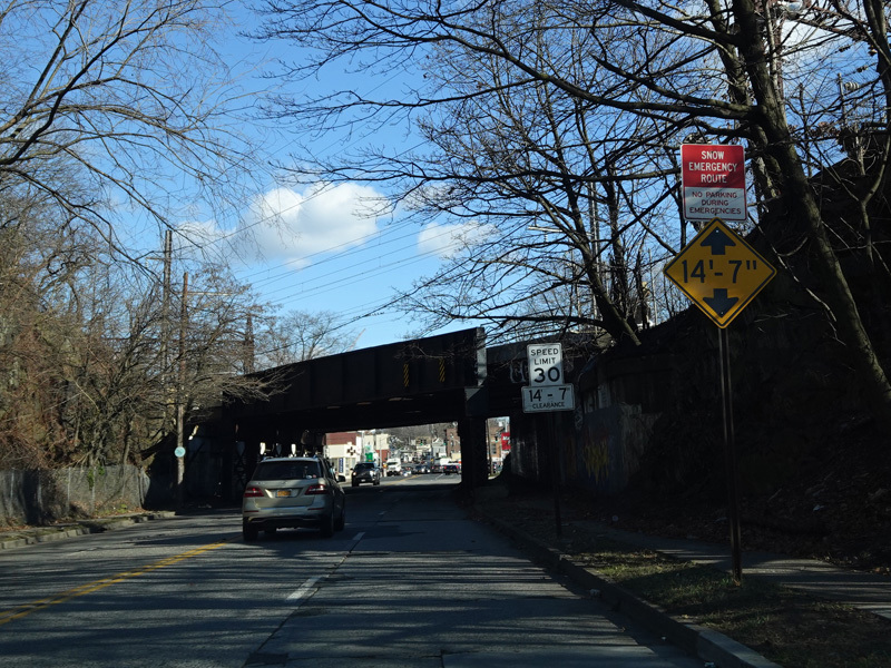
Boston Post Road ends at the traffic light after this railroad overpass. Turn left onto South Main Street to stay on US 1. Grace Church Street is to the right.
Photos taken January 2010.
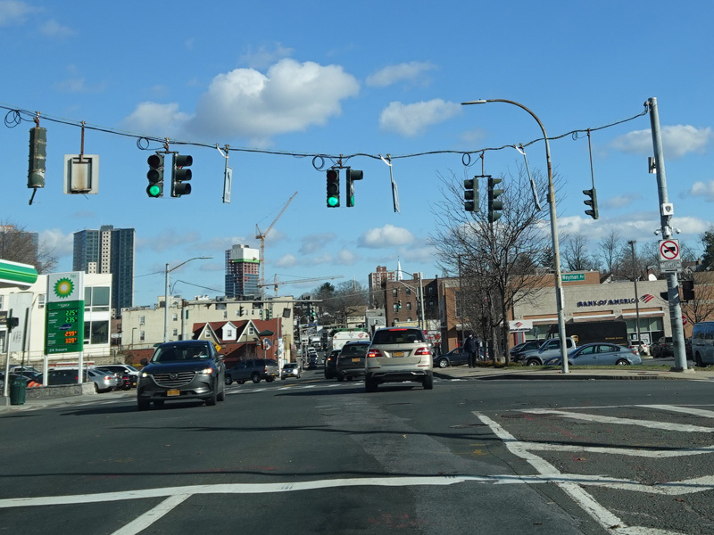
Westchester Avenue (CR 112) begins on the left at a traffic light. Westchester Avenue becomes NY 120A a few blocks to the west of here. South Main Street changes names at this intersection to become North Main Street.
Photo taken January 2010.
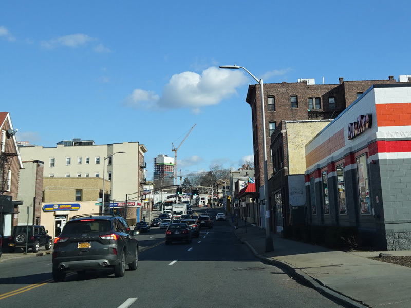
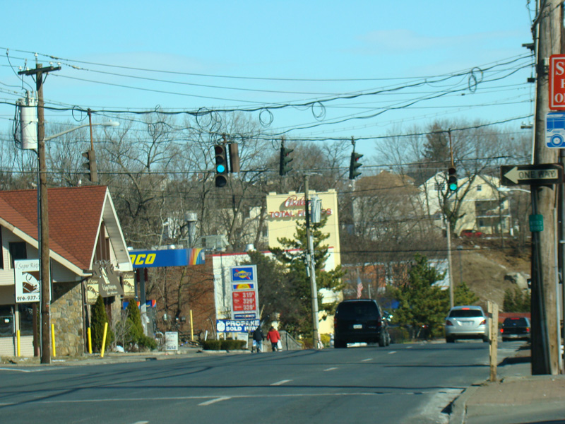
North Main Street runs through Port Chester as a two-lane undivided road.
Photos taken January 2010.
North Main Street ends here at Putnam Avenue, an unsigned state route with reference route number 982C. To stay on US 1, bear right and merge onto Putnam Avenue, which immediately crosses the Byram River into Connecticut.
Photos taken January 2010.