Main Street, Vineyard Avenue, Milton Avenue, Mid-Hudson Bridge, Church Street, Baker Street, Haight Avenue, Columbus Drive, Mill Street, Maple Street, Dutchess Turnpike, Sharon Turnpike, West Main Street, North Street, South Elm Avenue
Westbound Views
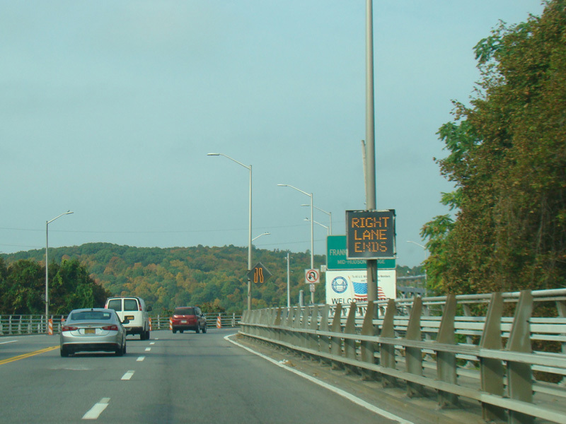
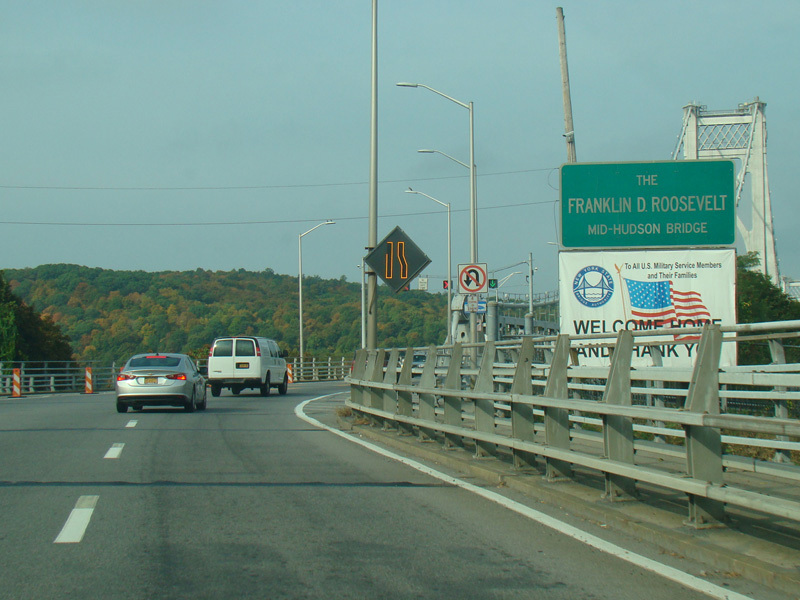
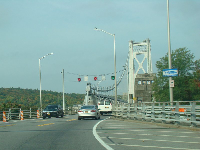
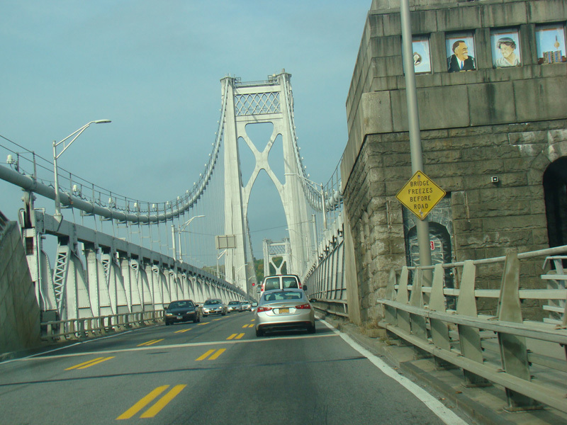
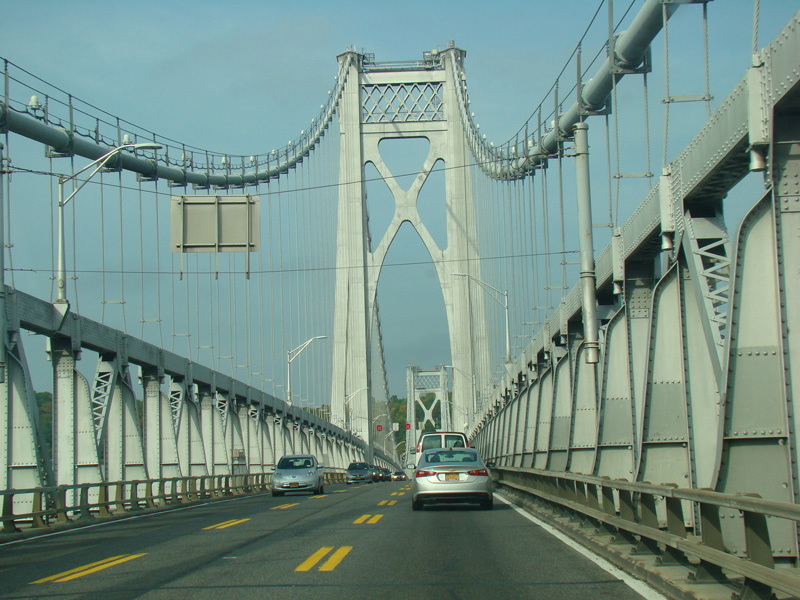
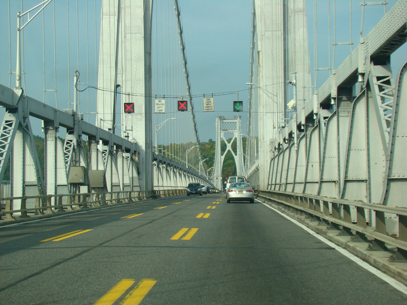
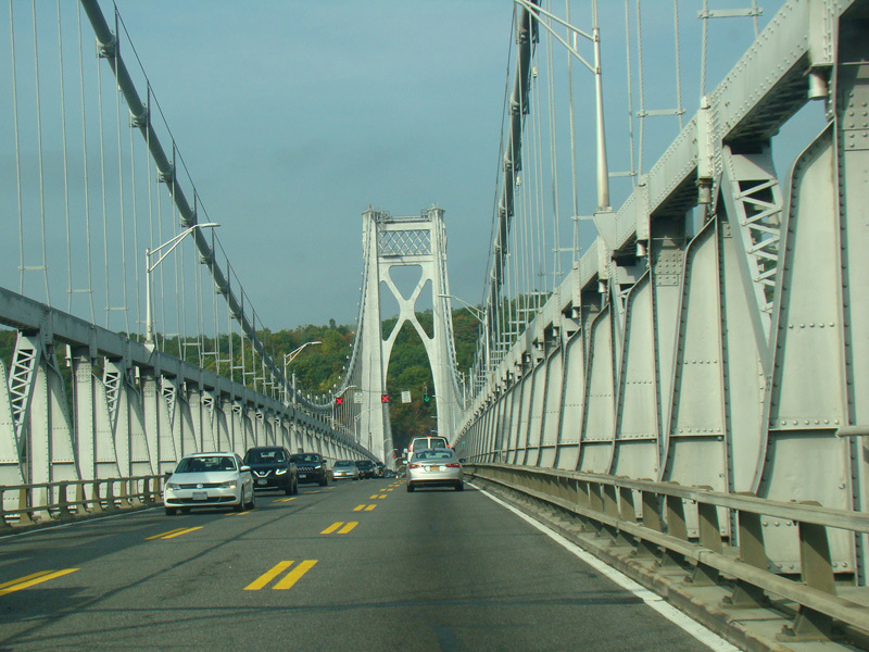
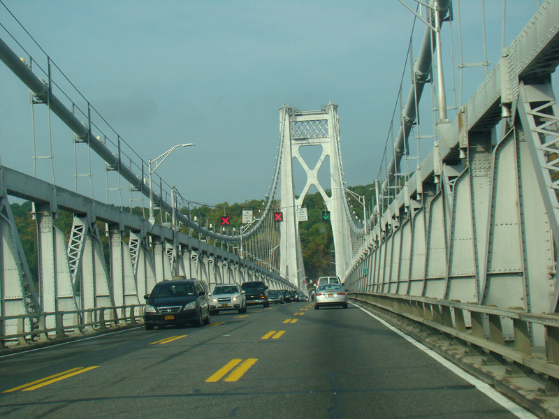
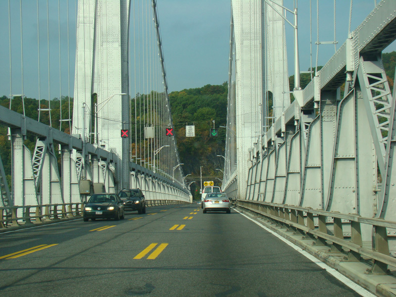
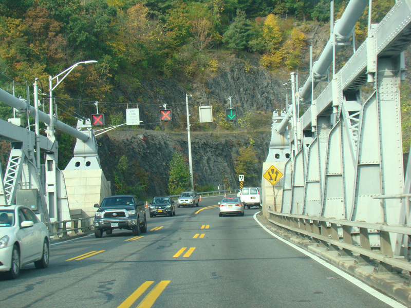
The Mid-Hudson Bridge carries US 44/NY 55 across the Hudson River to Ulster County. The bridge has three reversible lanes. Overhead signals indicate which lanes are open to traffic in each direction.
Photos taken October 2017.
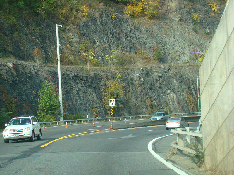
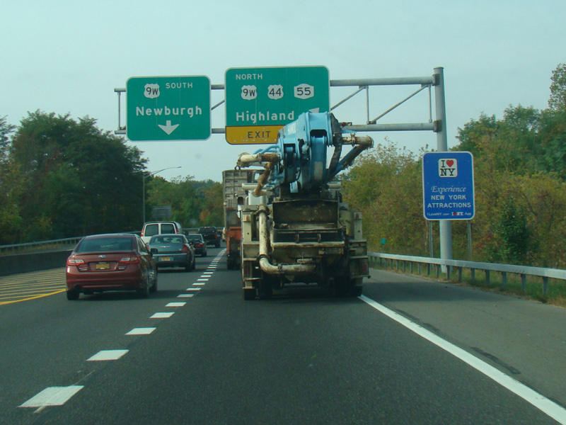
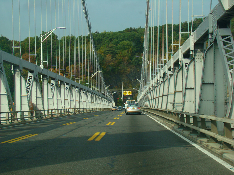
On the other side of the bridge, there is a short approach highway ending at a grade-separated interchange with US 9W. Bear right to go north as to stay on US 44/NY 55. Bear left to go south.
Photos taken October 2017.
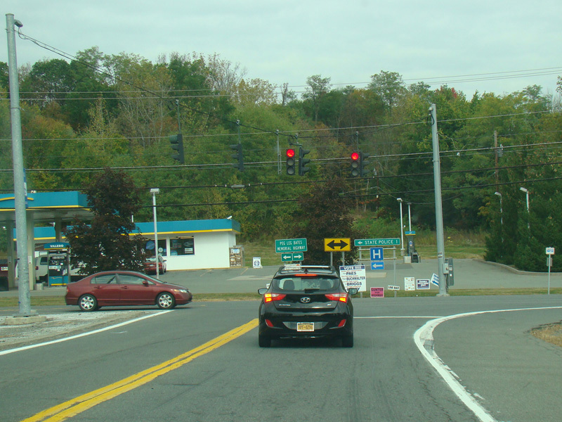
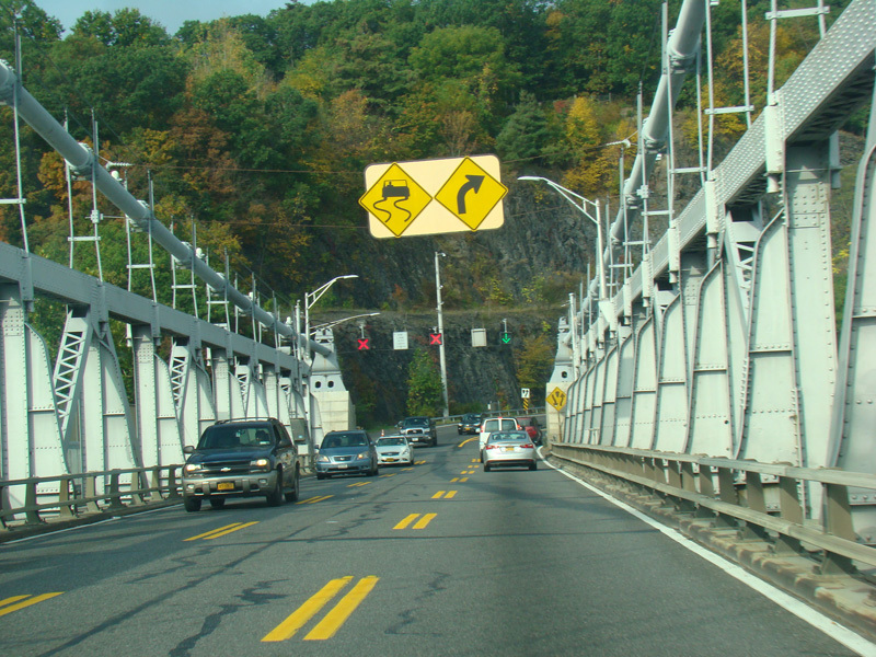
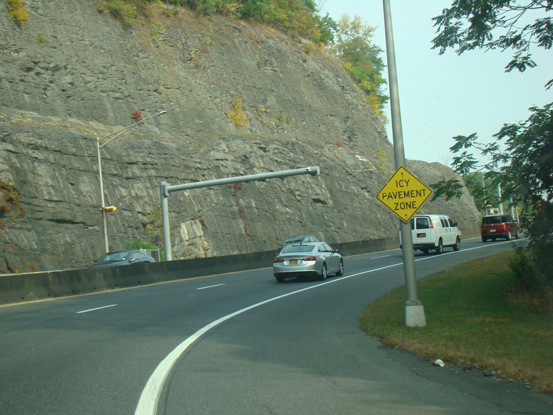
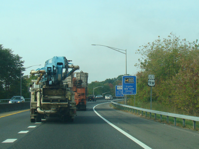
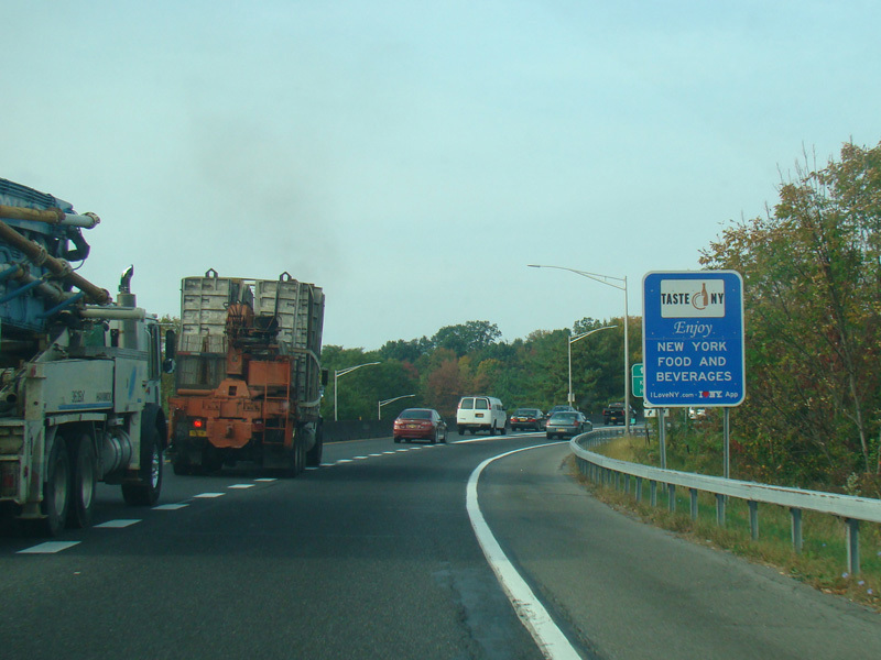
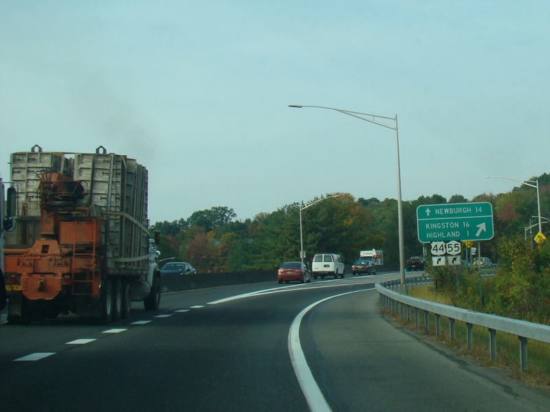
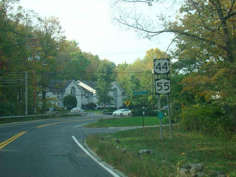
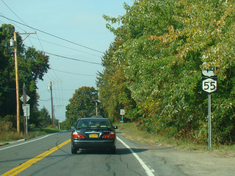
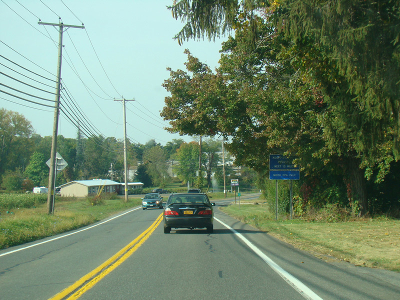
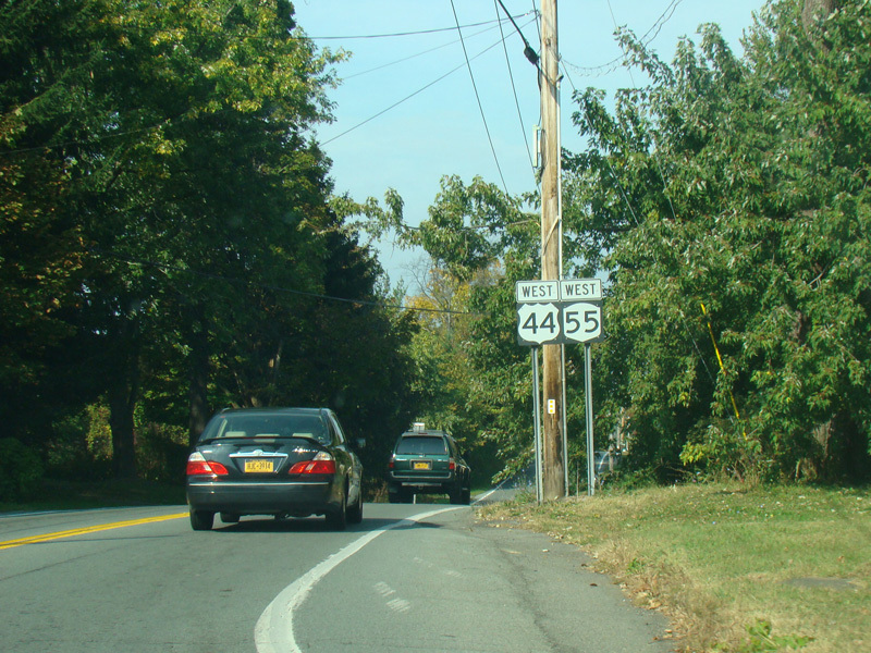
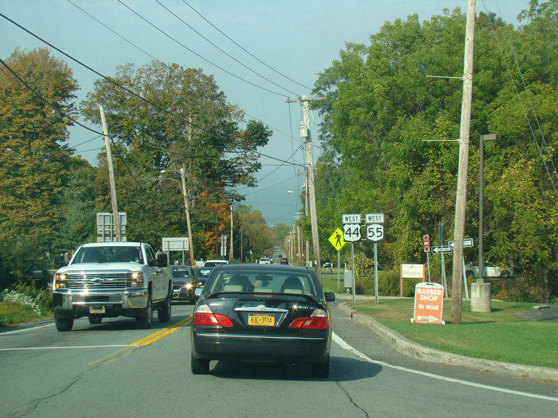
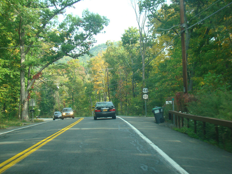
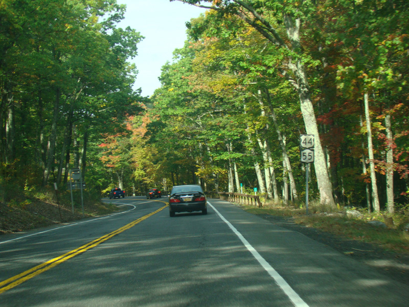
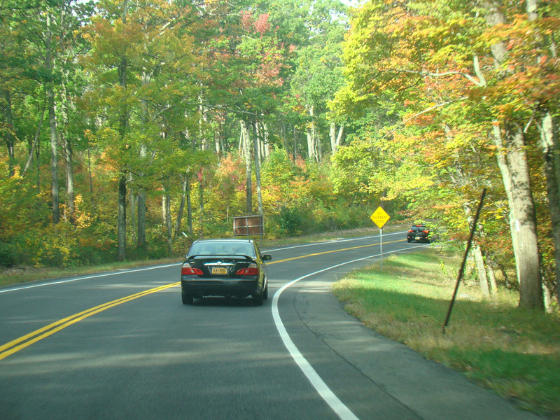
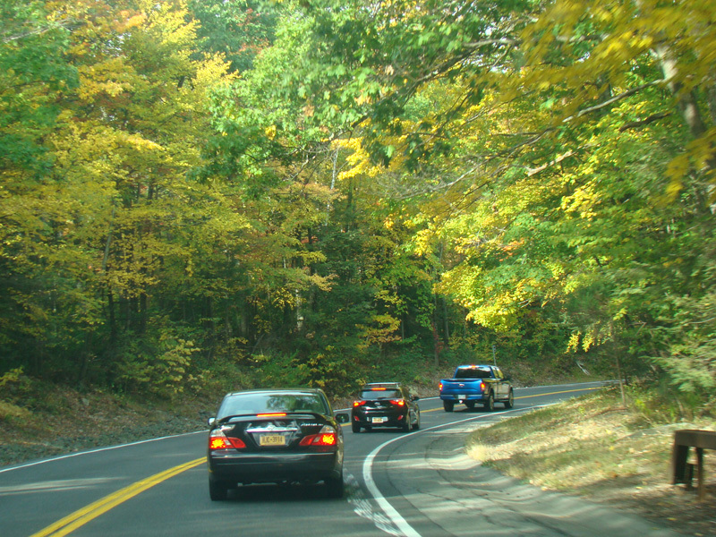
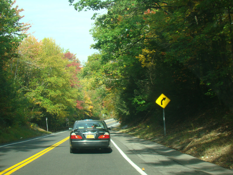
US 44/NY 55 is multiplexed with US 9W north for about half a mile.
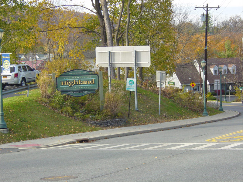
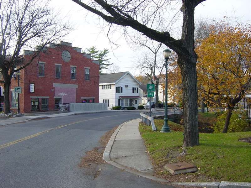
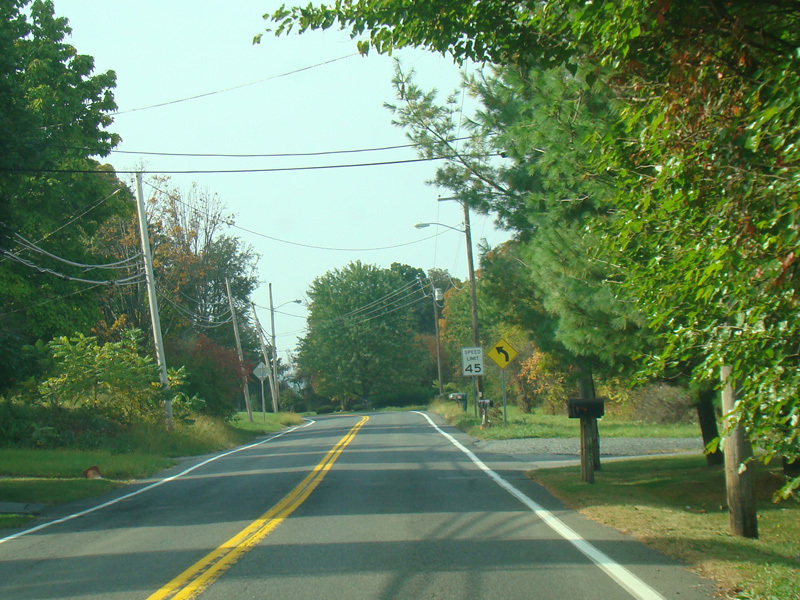
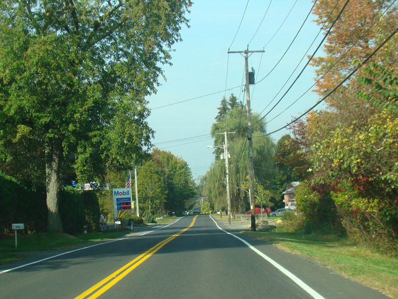
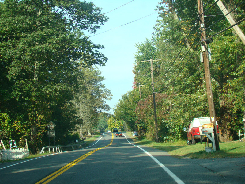
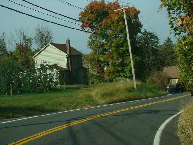
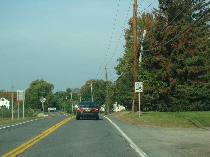
US 44/NY 55 splits off from US 9W. Welcome to Highland! Milton Avenue runs west as a two-lane undivided road.
Photos taken November 2014.
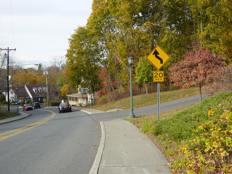
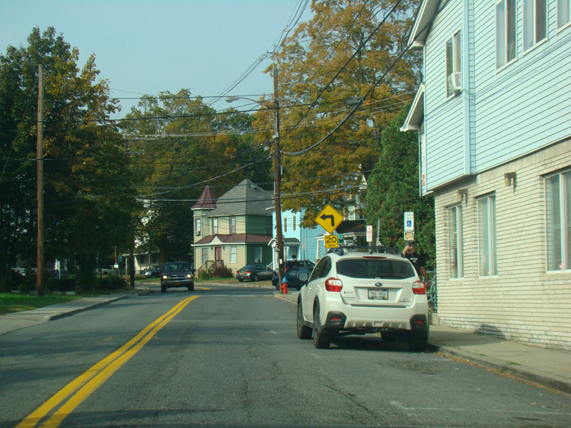
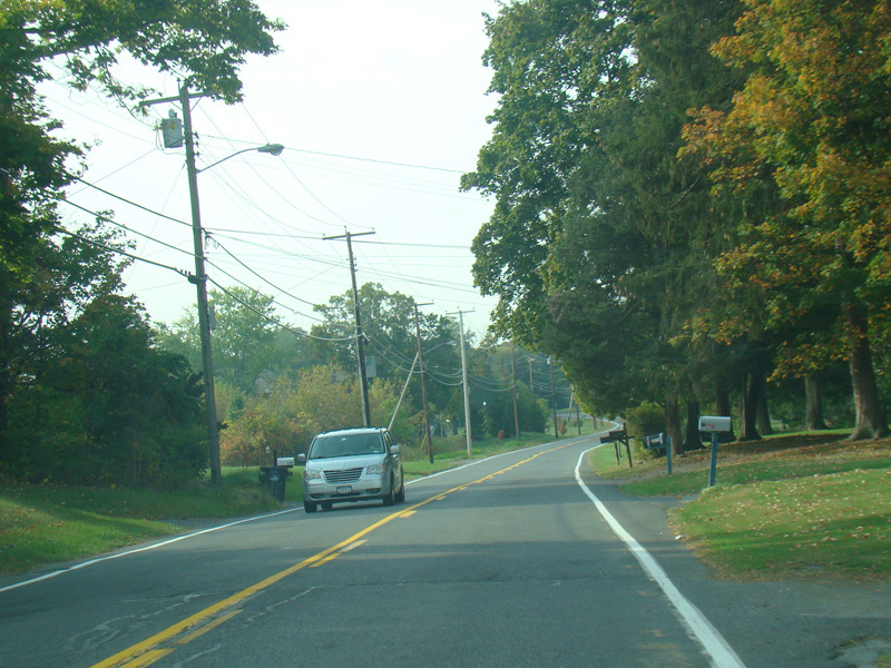
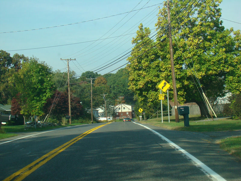
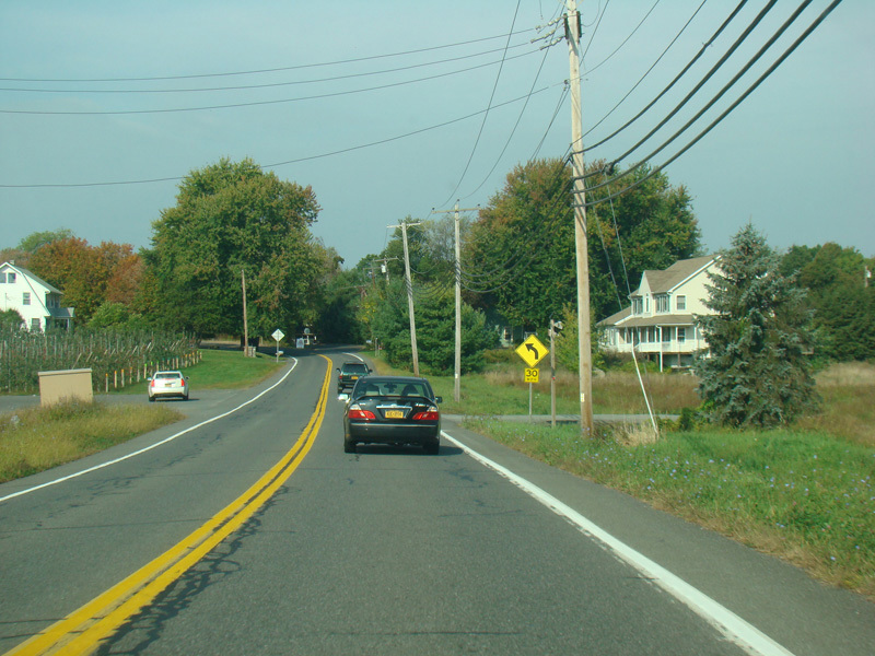
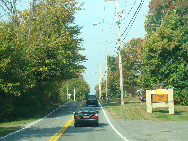
Milton Avenue ends at a stop sign at Vineyard Avenue. Turn left to stay on US 44/NY 55.
Photos taken November 2014.
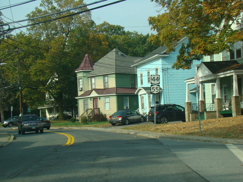
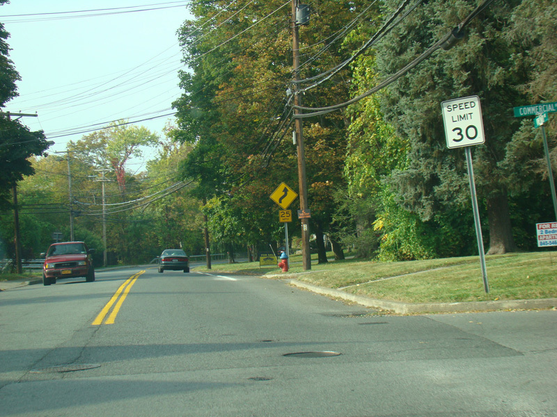
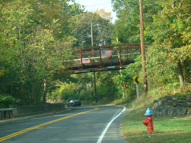
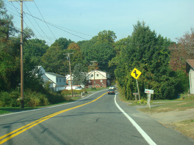
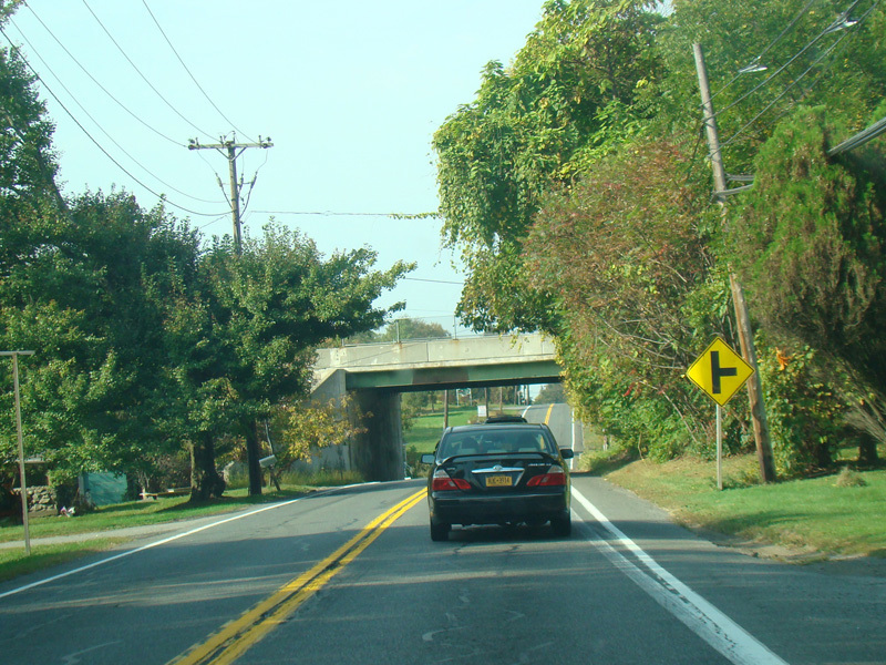
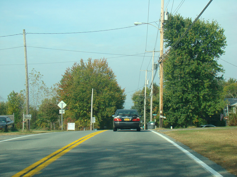
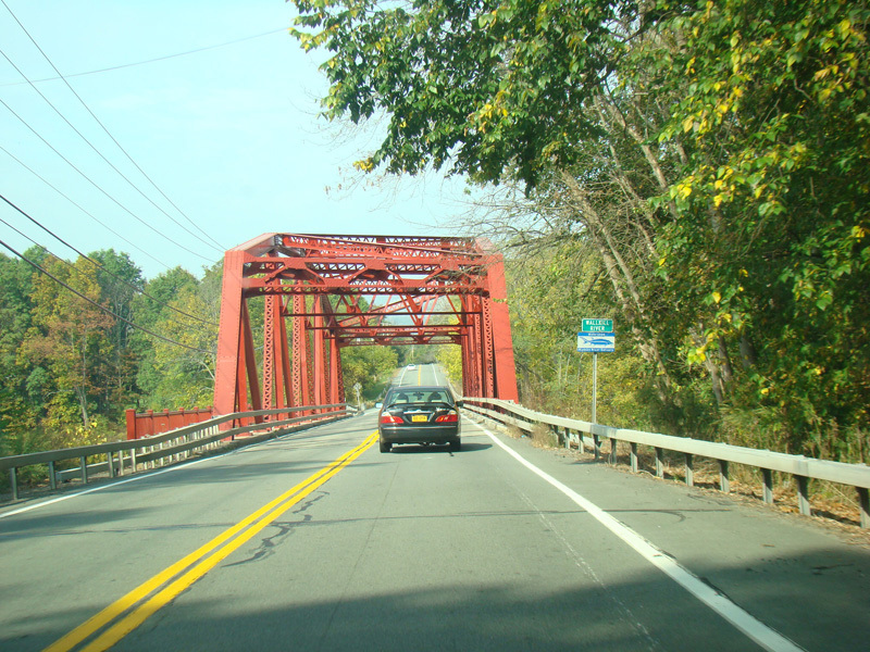
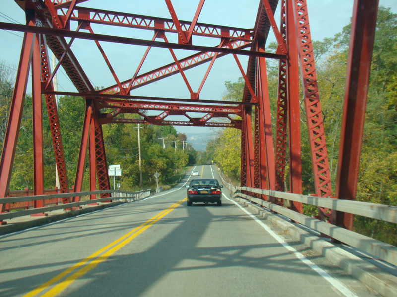
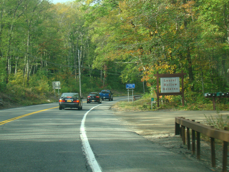
Vineyard Avenue runs southwest as a two-lane undivided road. It passes under a pedestrian overpass carrying the Hudson Valley Rail Trail.
Photos taken October 2017.
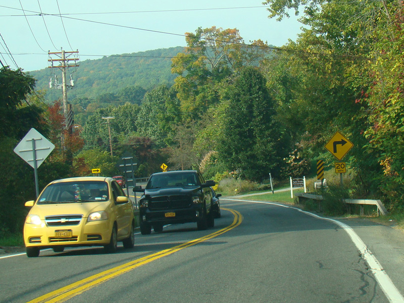
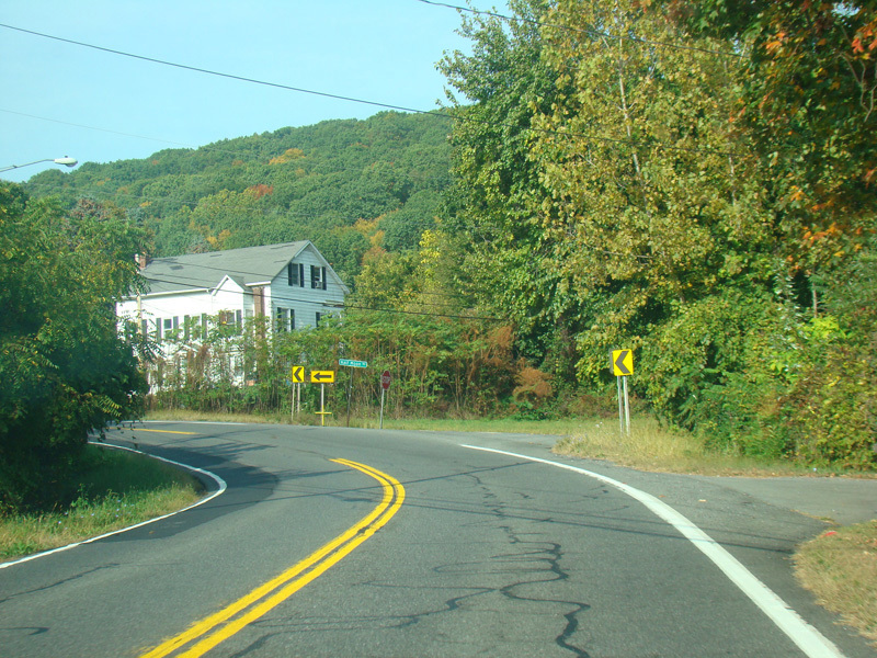
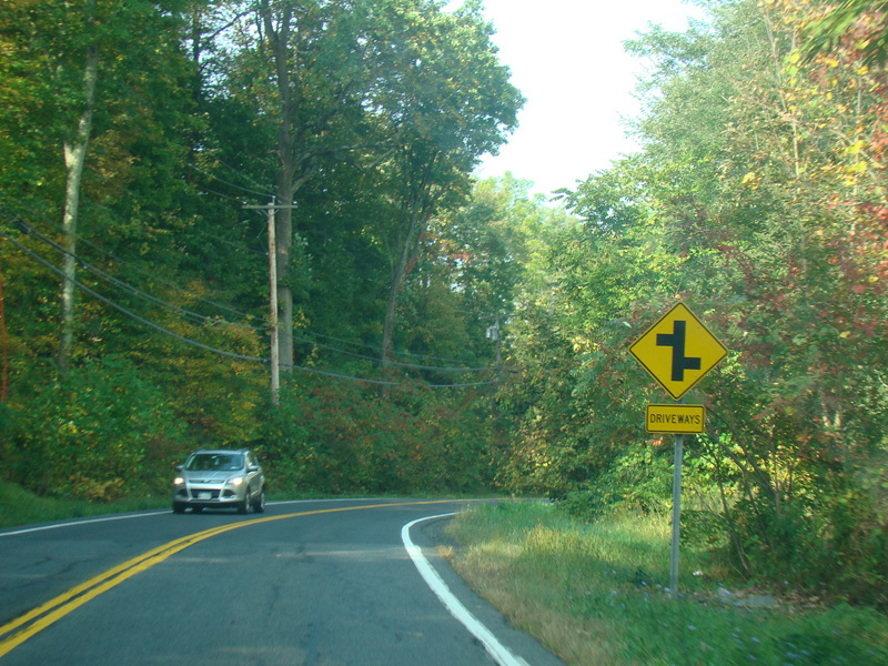
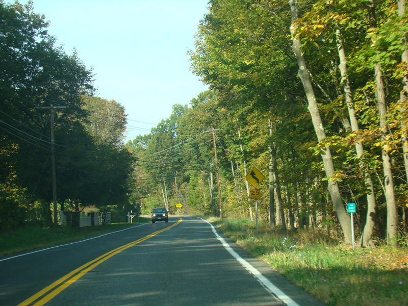

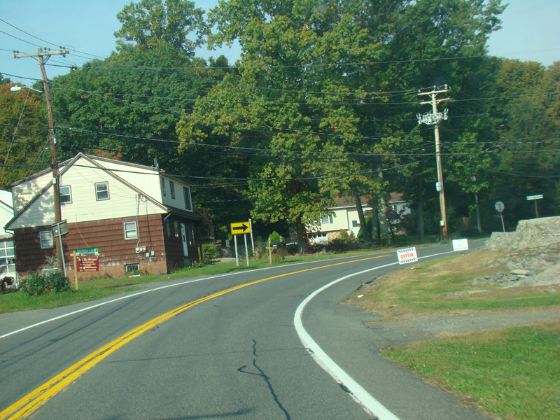
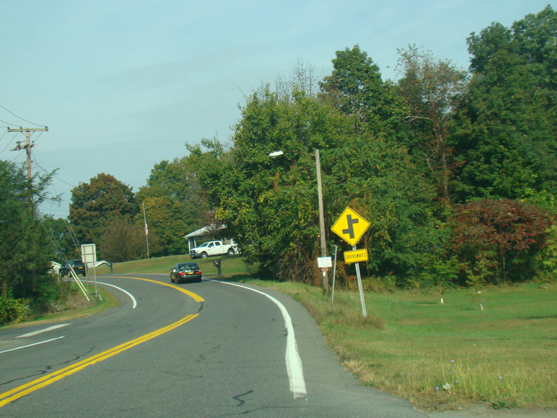
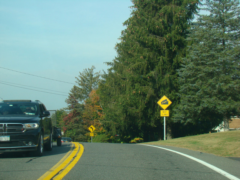
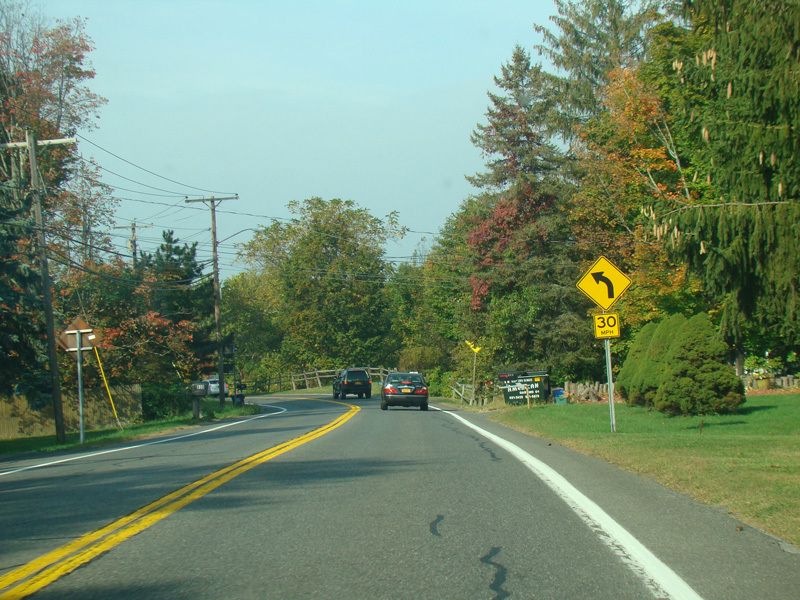
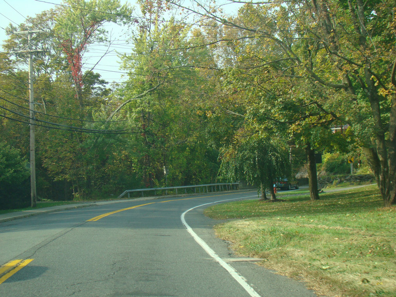
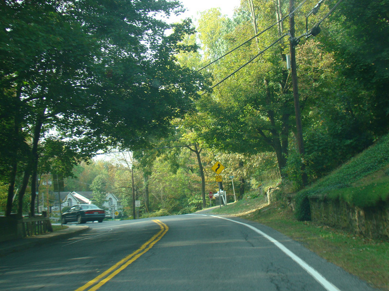
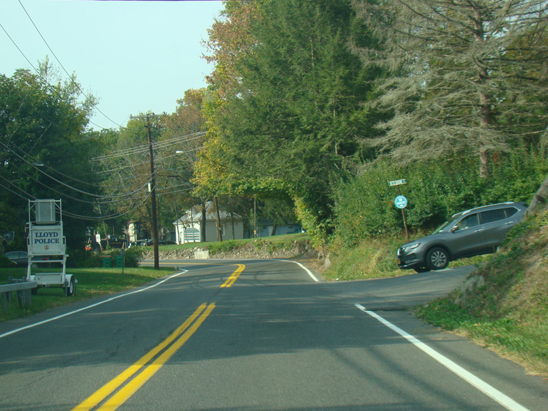
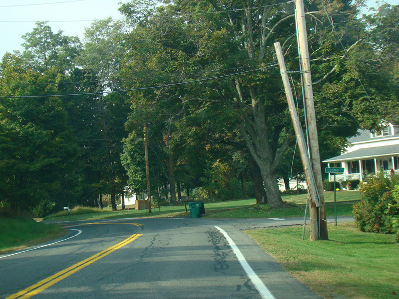
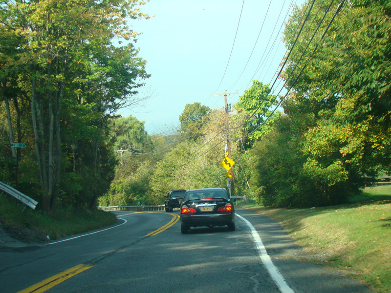
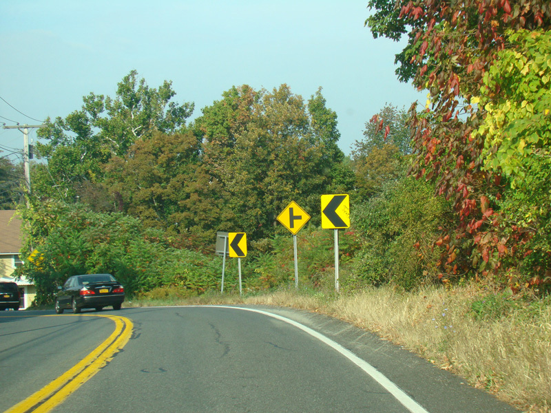
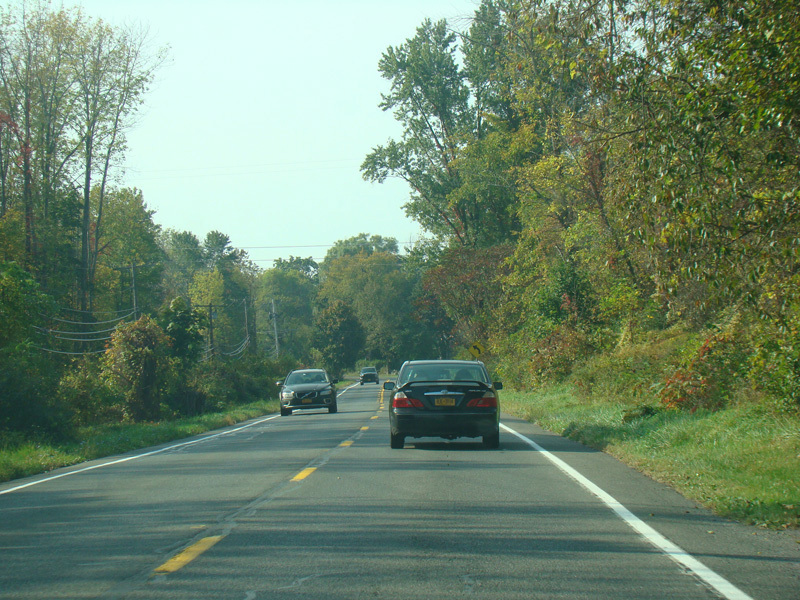
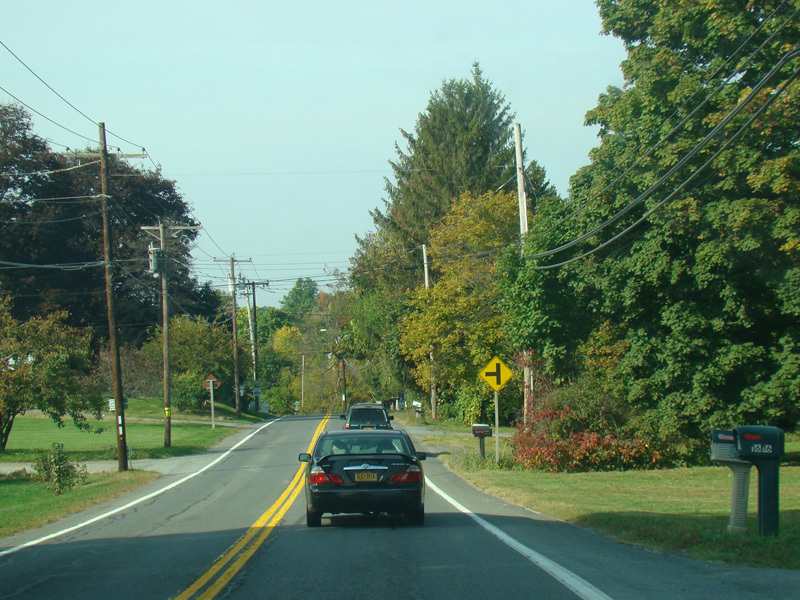
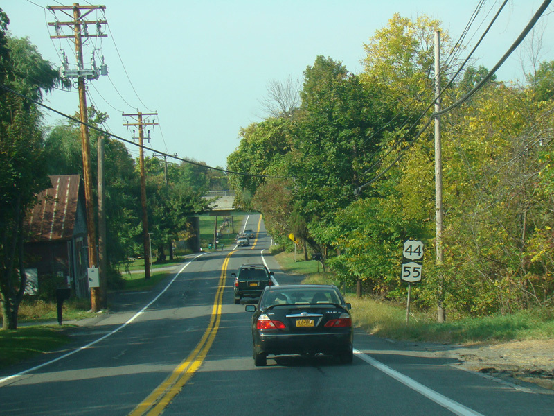
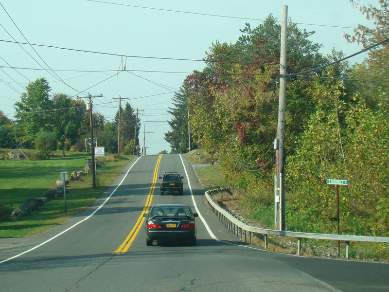
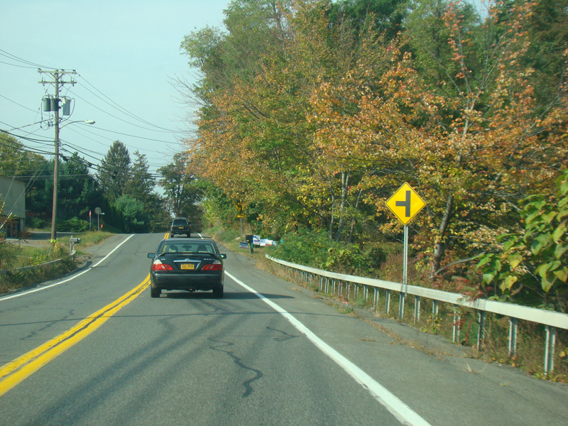
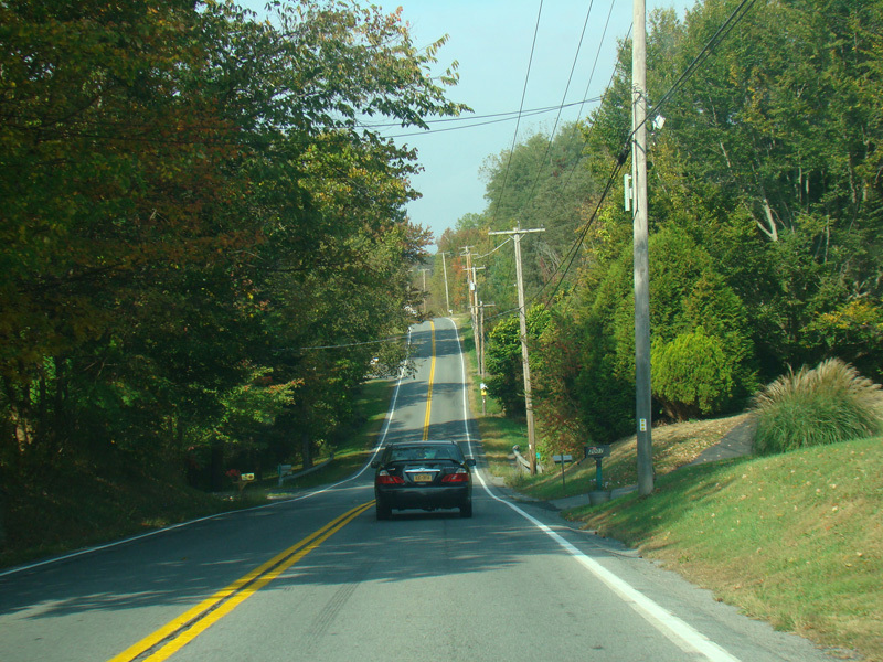
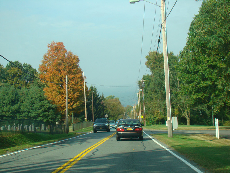
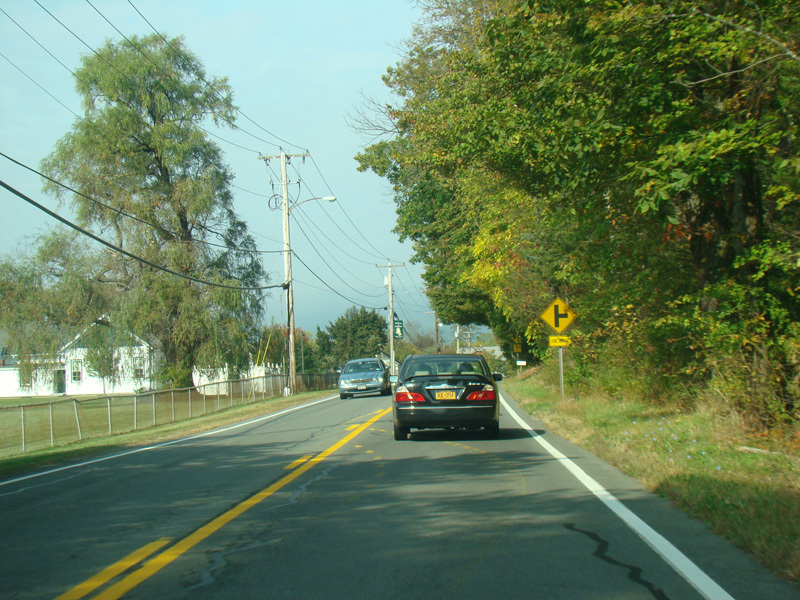
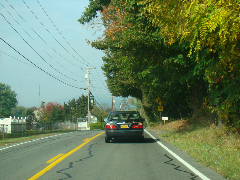
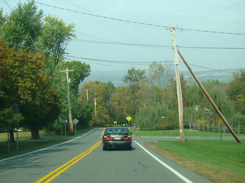
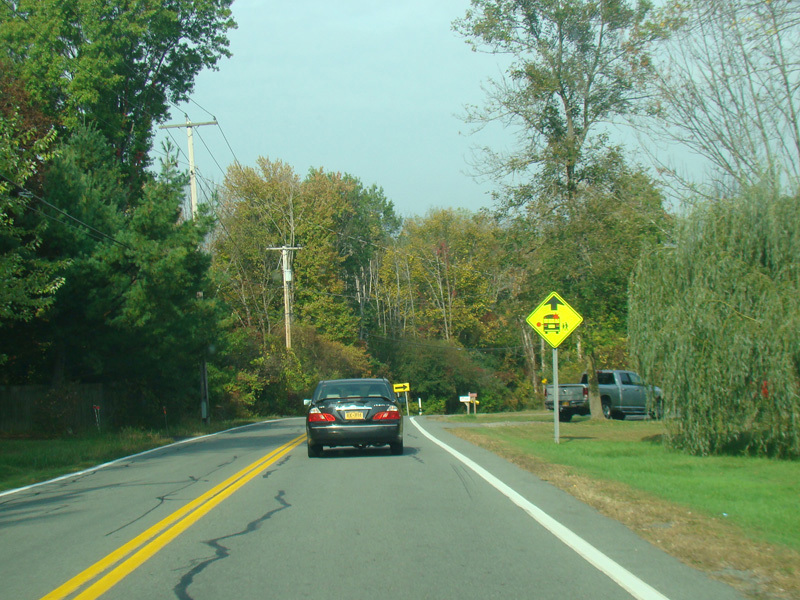
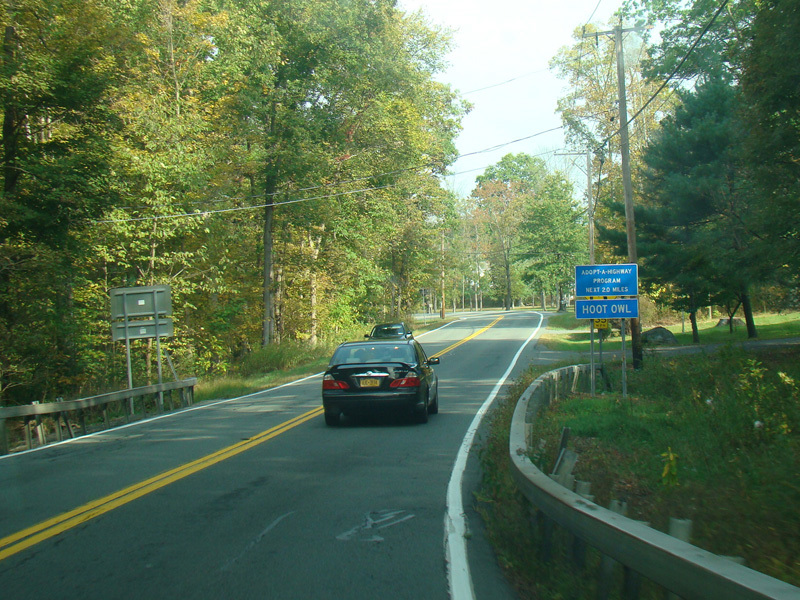
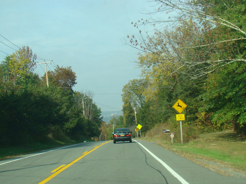
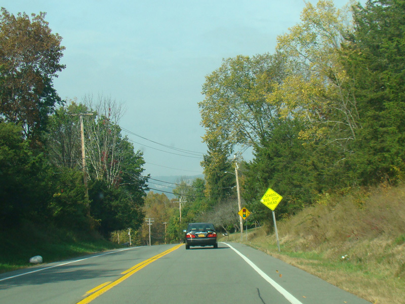
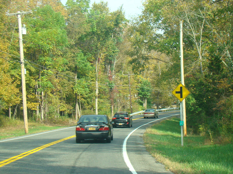
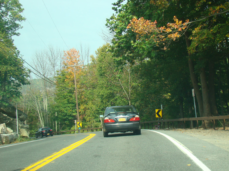
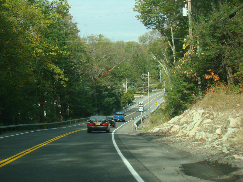
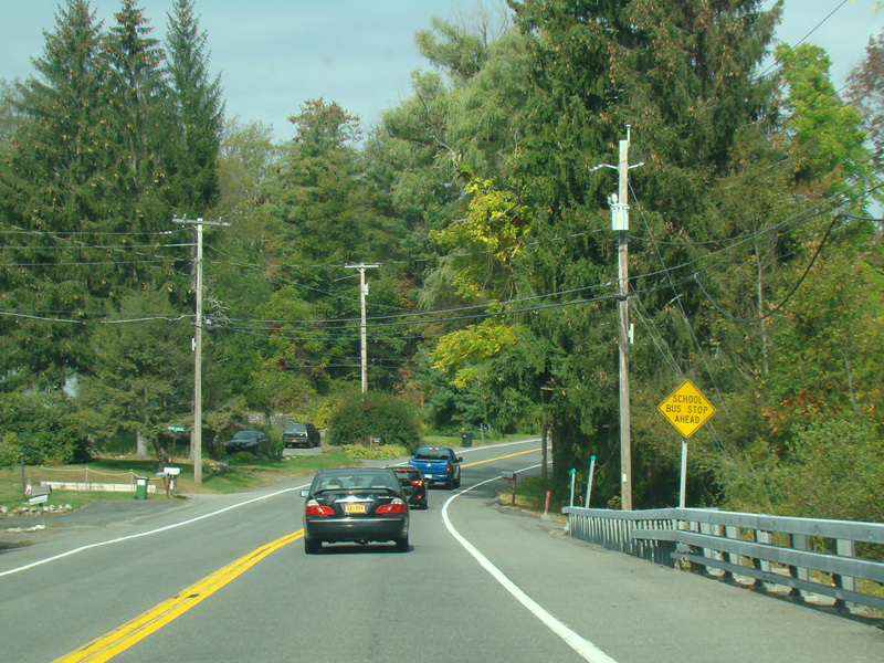
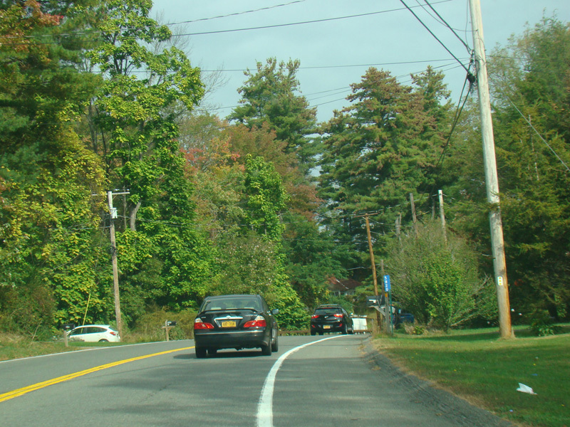
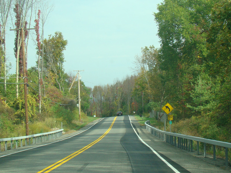
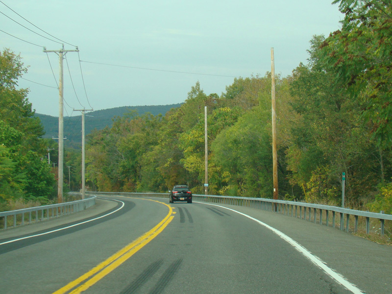
Heading out of town, US 44/NY 55 loses the Vineyard Avenue name and is known solely by its number. It curves and runs east toward Clintondale.
Photos taken October 2017.
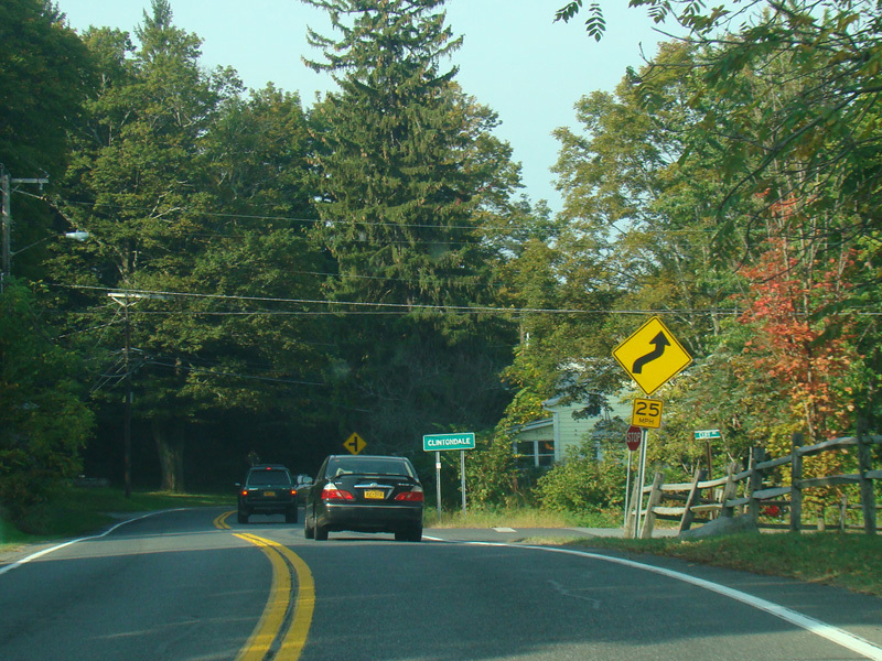
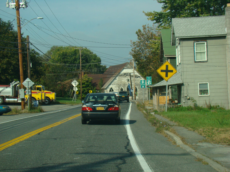
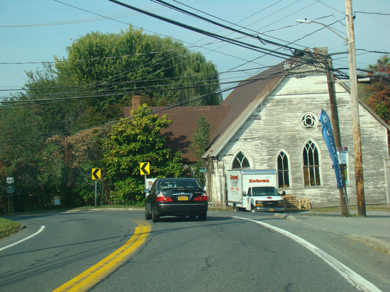
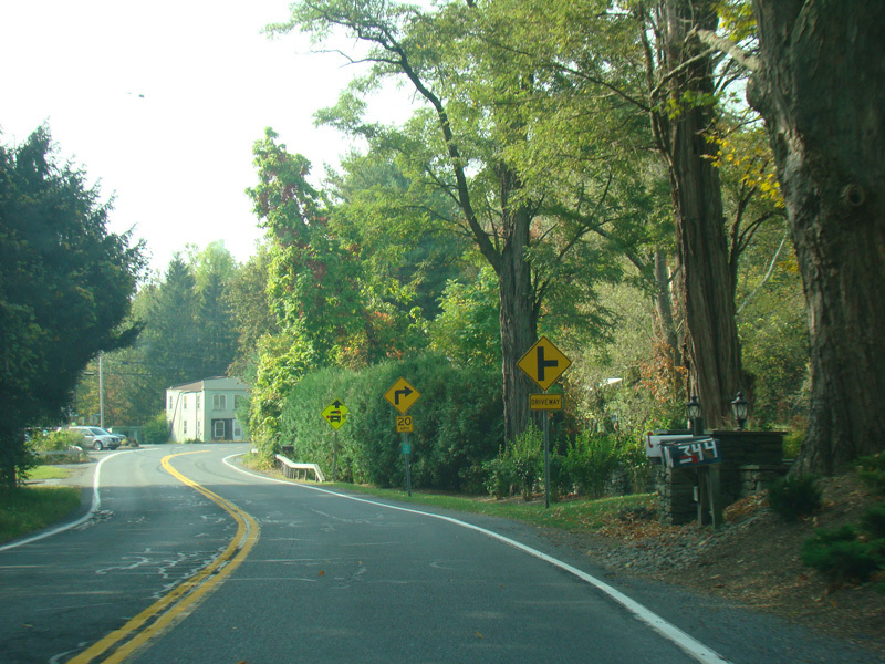
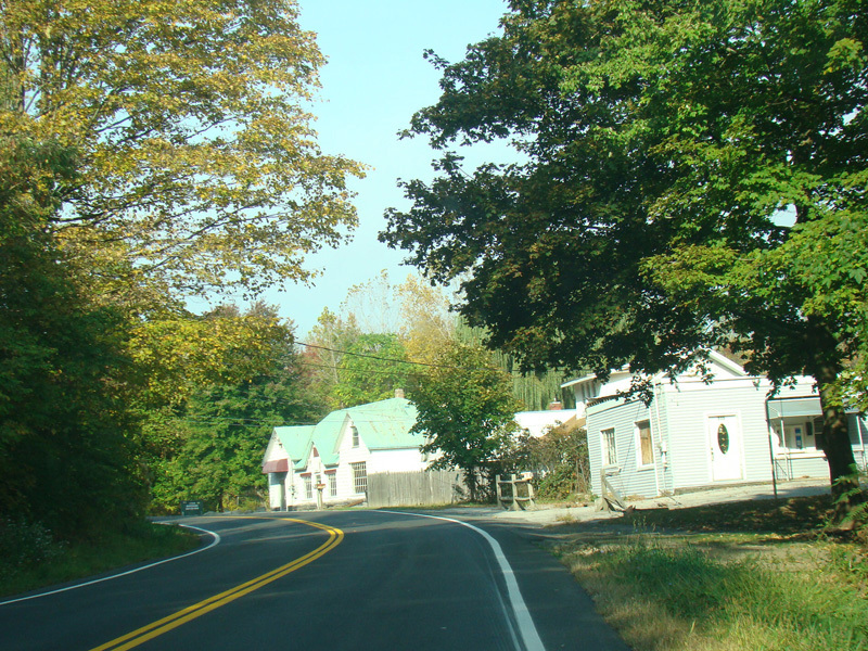
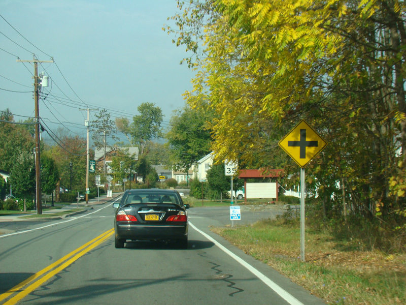
Welcome to Clintondale! There is a small downtown area.
Photos taken October 2017.
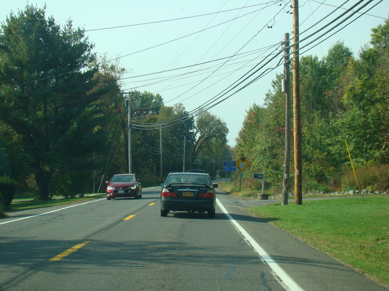
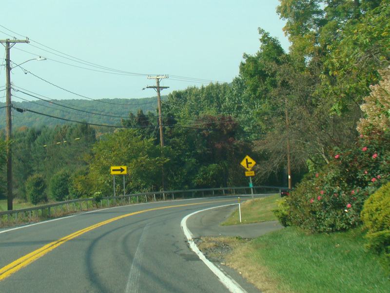
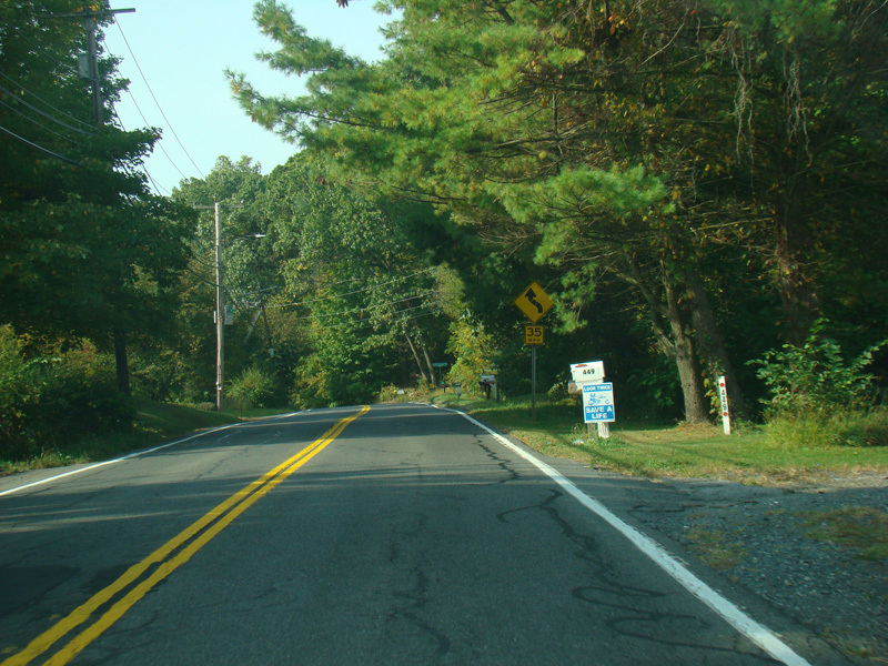
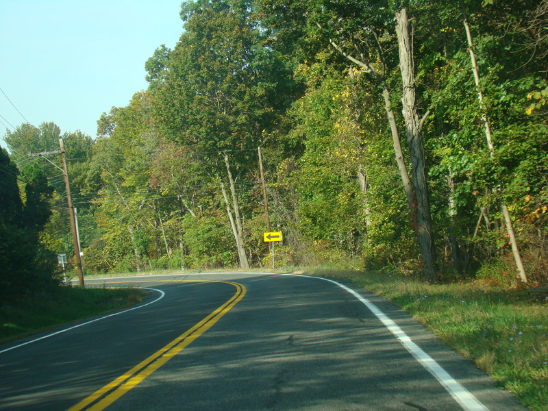
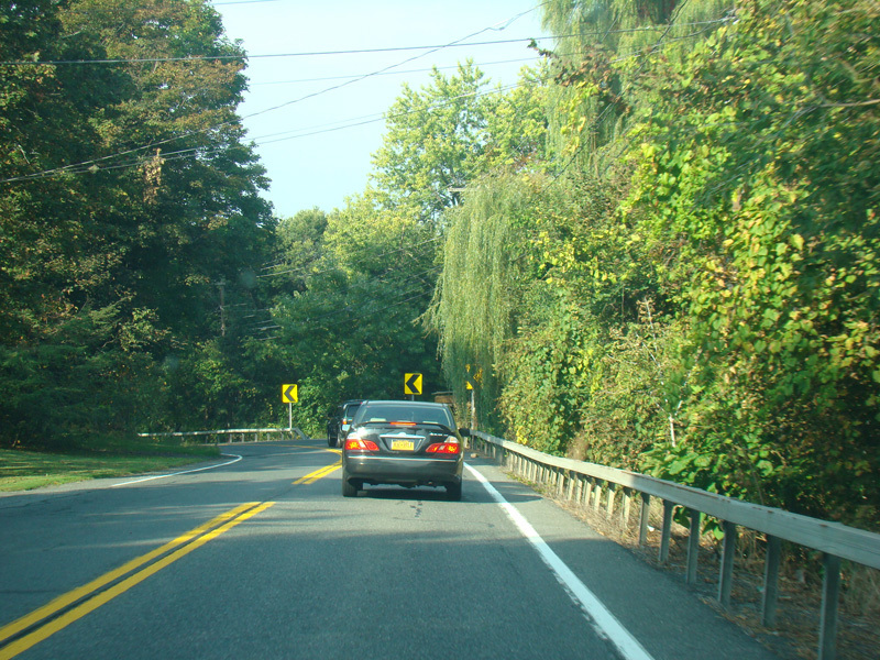
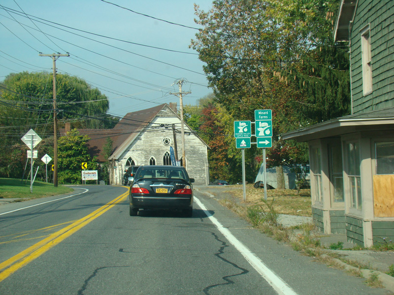
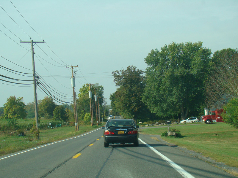
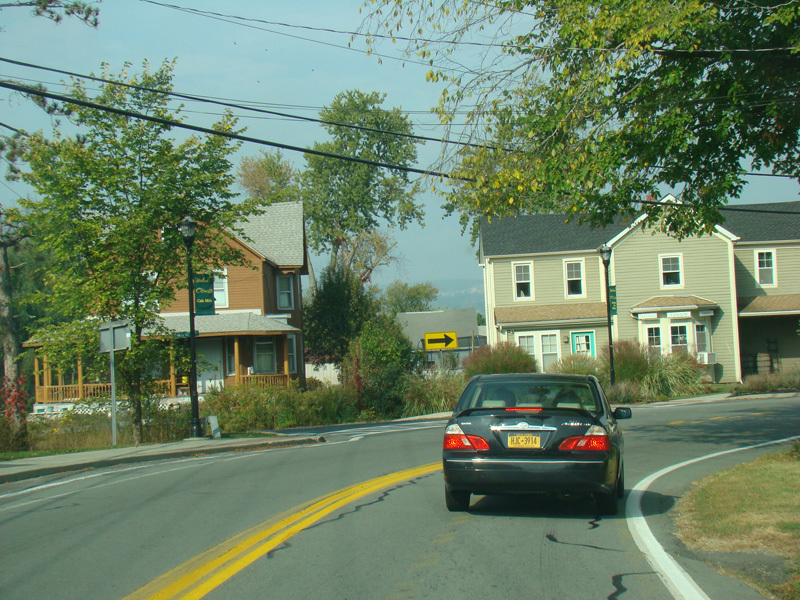
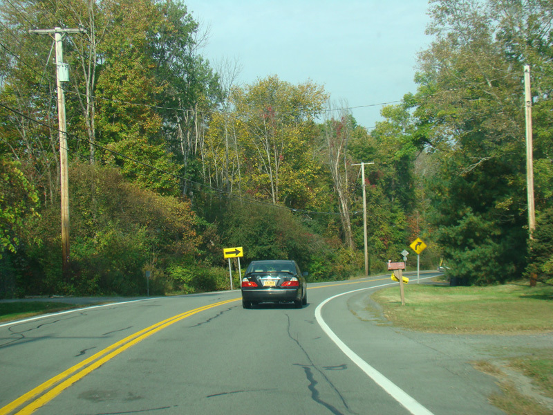
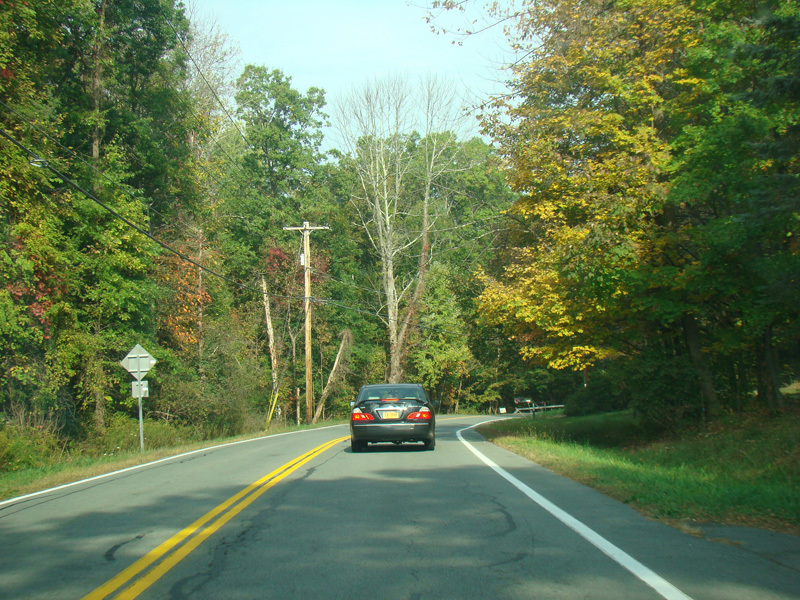
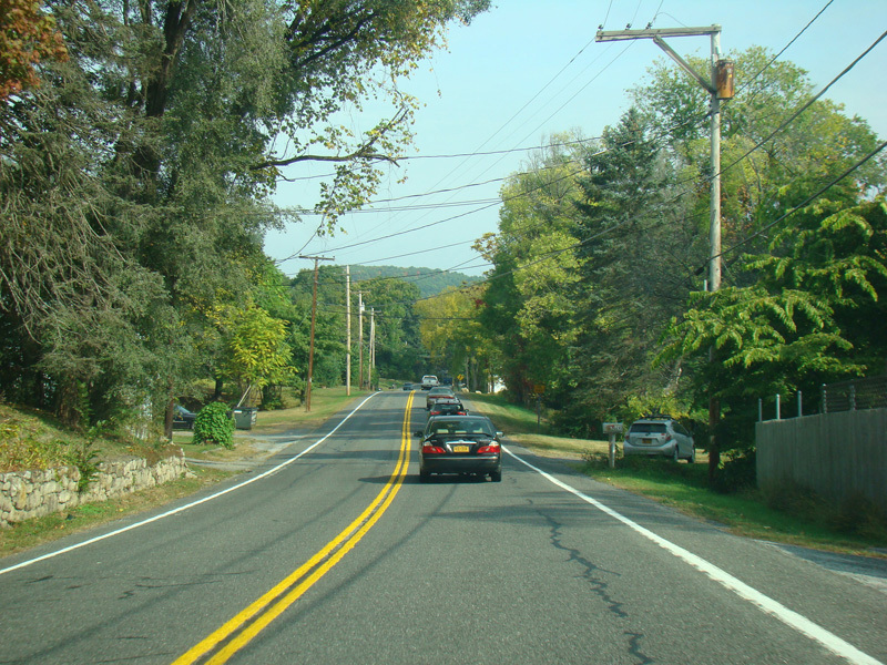
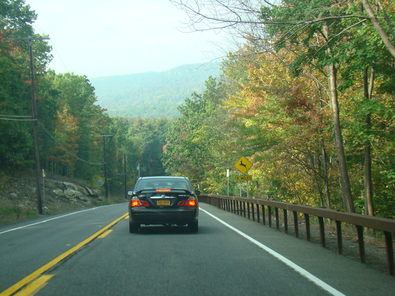
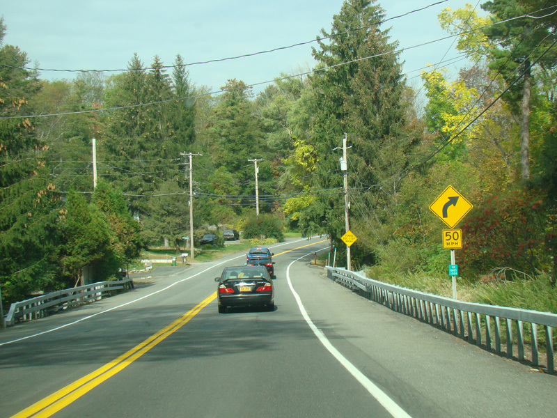
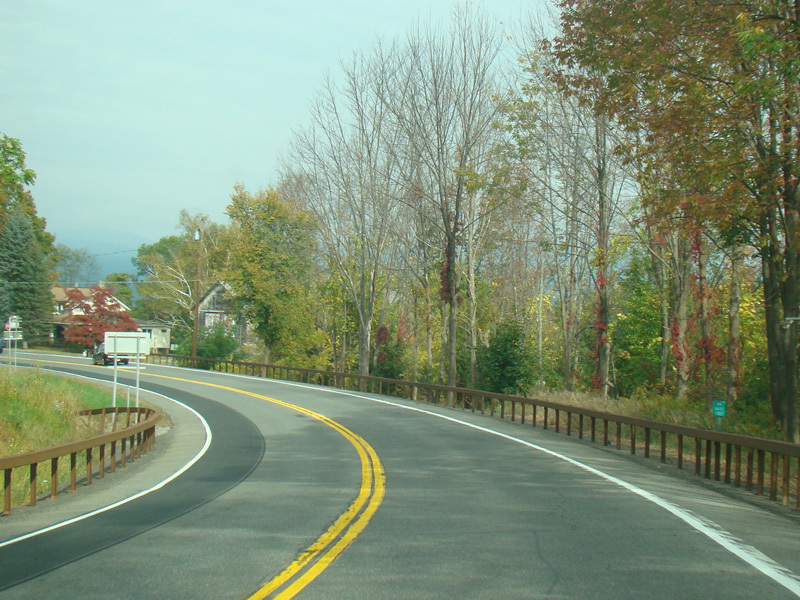
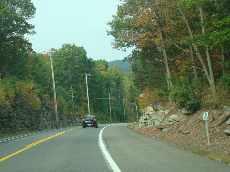
US 44/NY 55 curves to the south.
Photos taken October 2017.
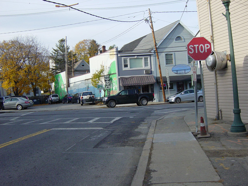
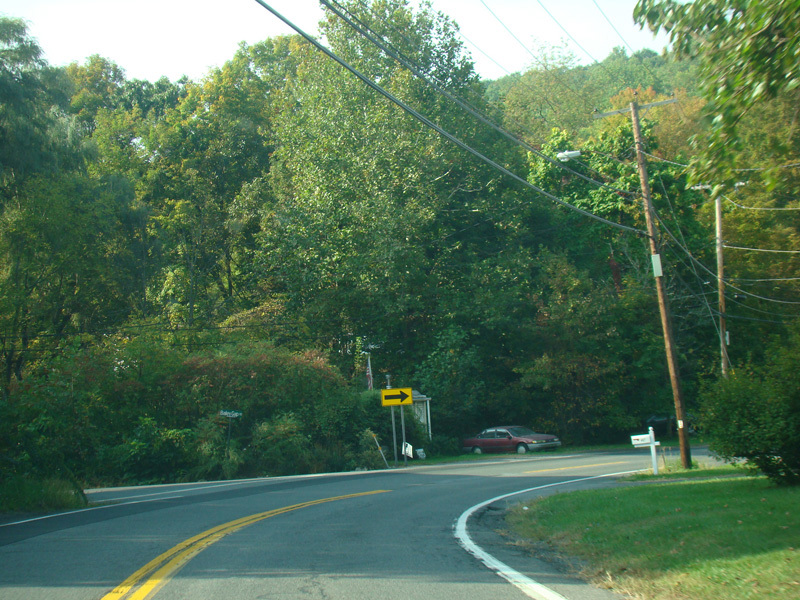
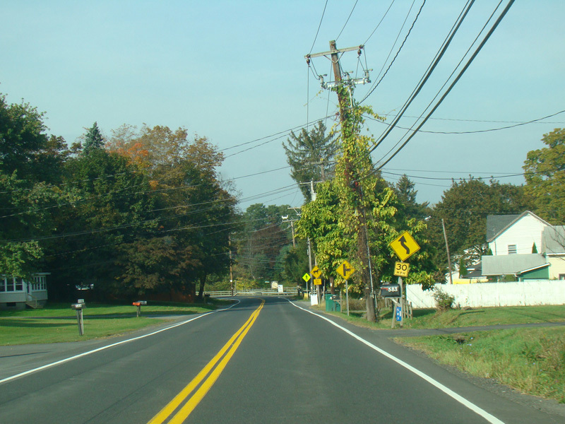
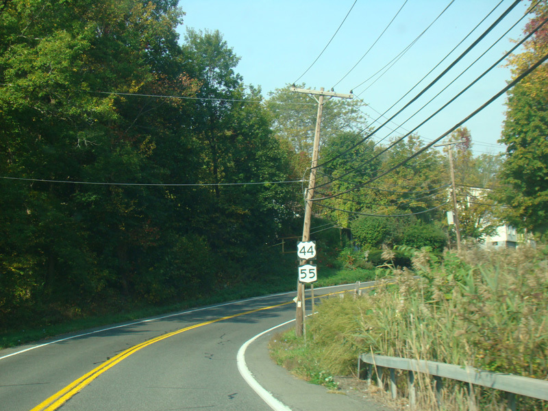
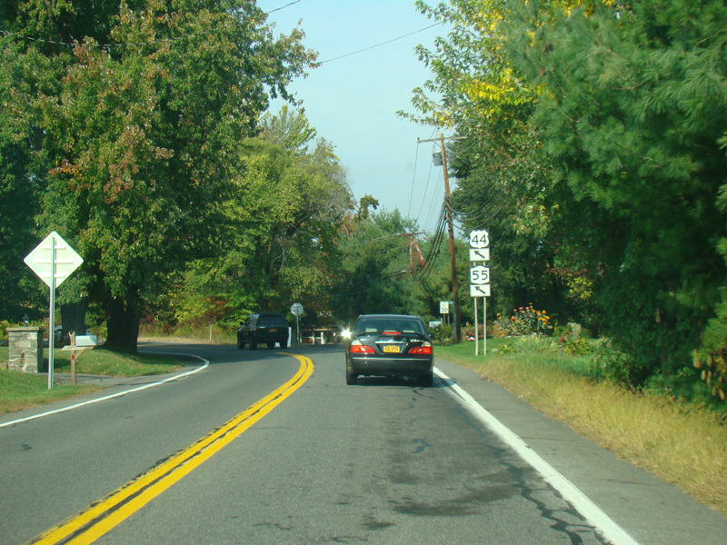
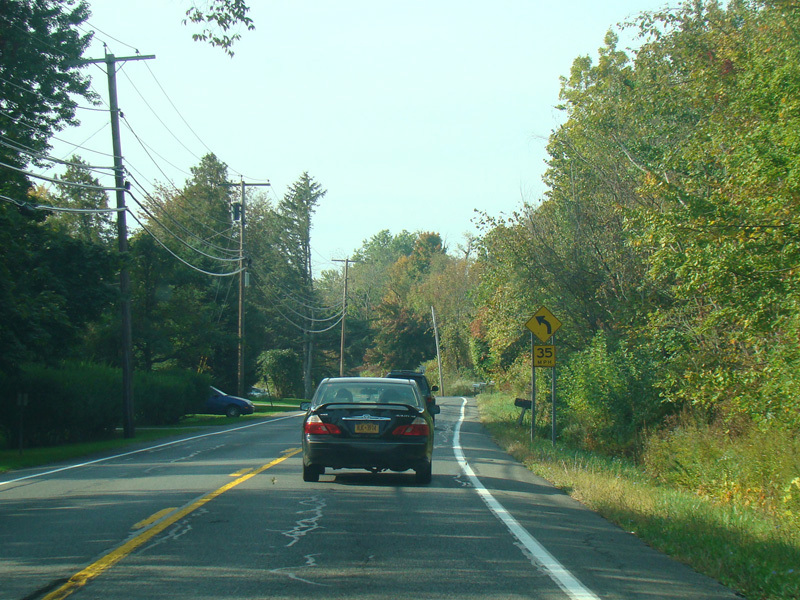
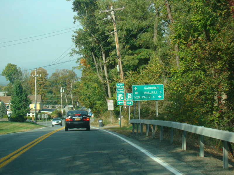
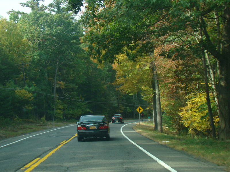
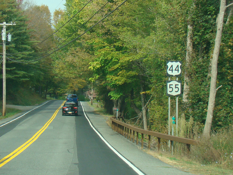
Turn right to stay on US 44/NY 55. Milton Turnpike (CR 10) begins to the left.
Photo taken October 2017.
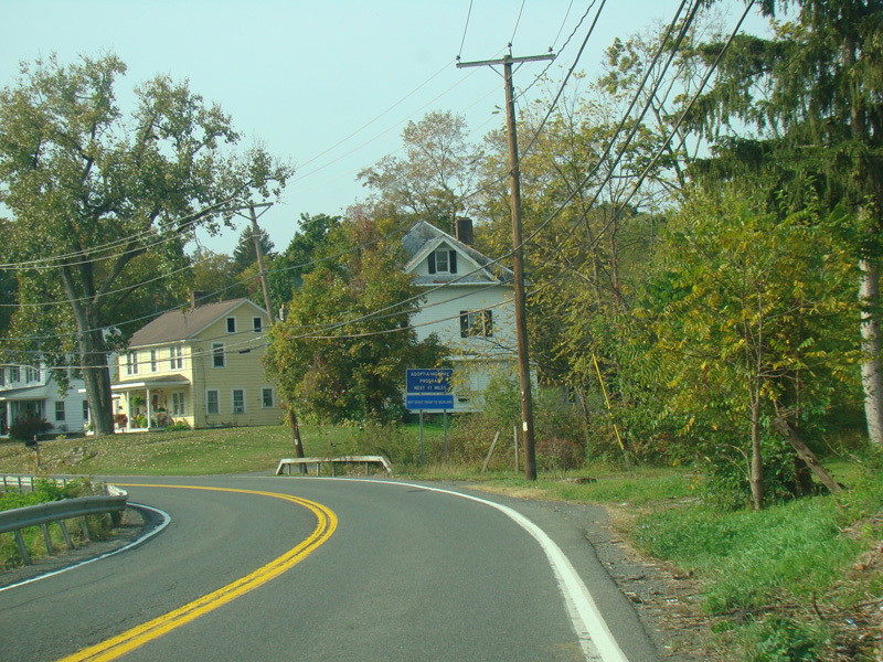
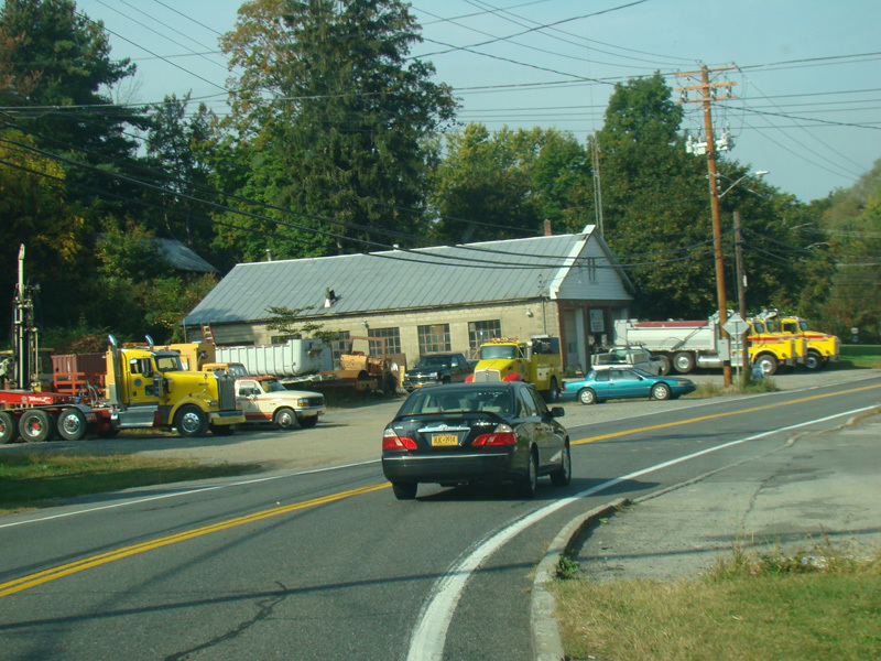
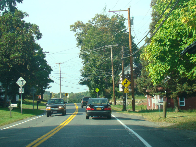
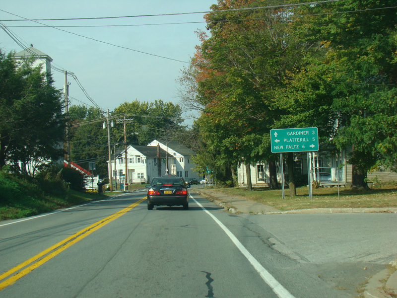
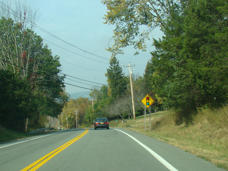
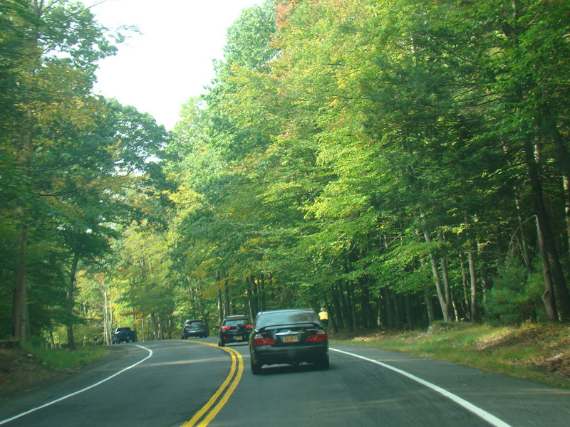
US 44/NY 55 runs east to Modena. It passes under the New York Thruway (I-87), but there is no interchange.
Photos taken October 2017.
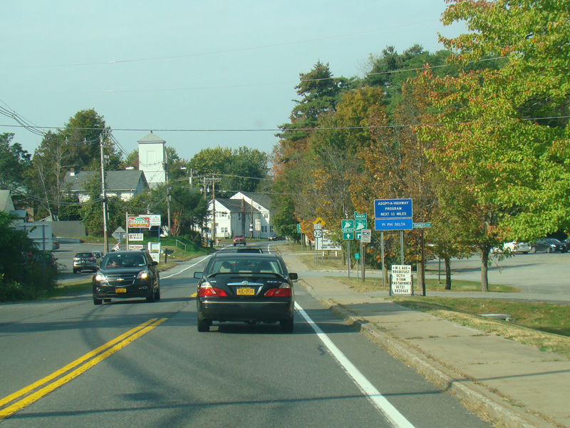
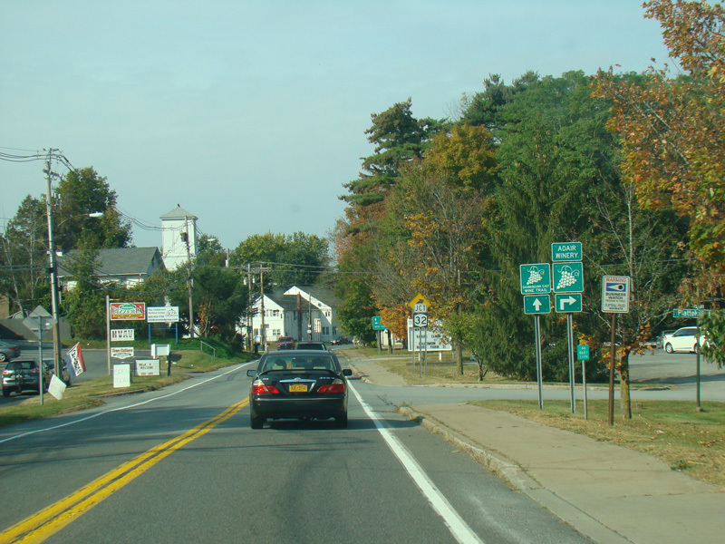
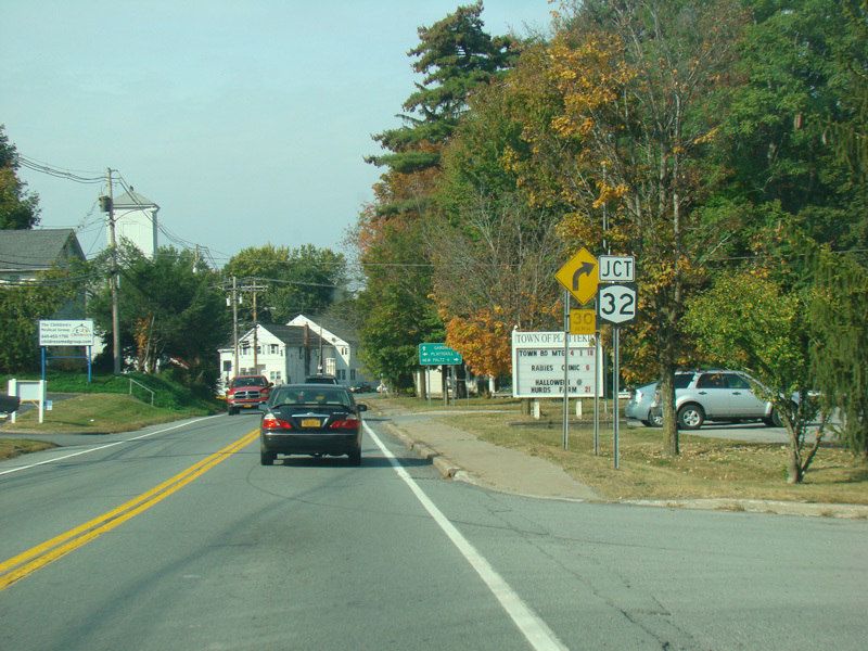
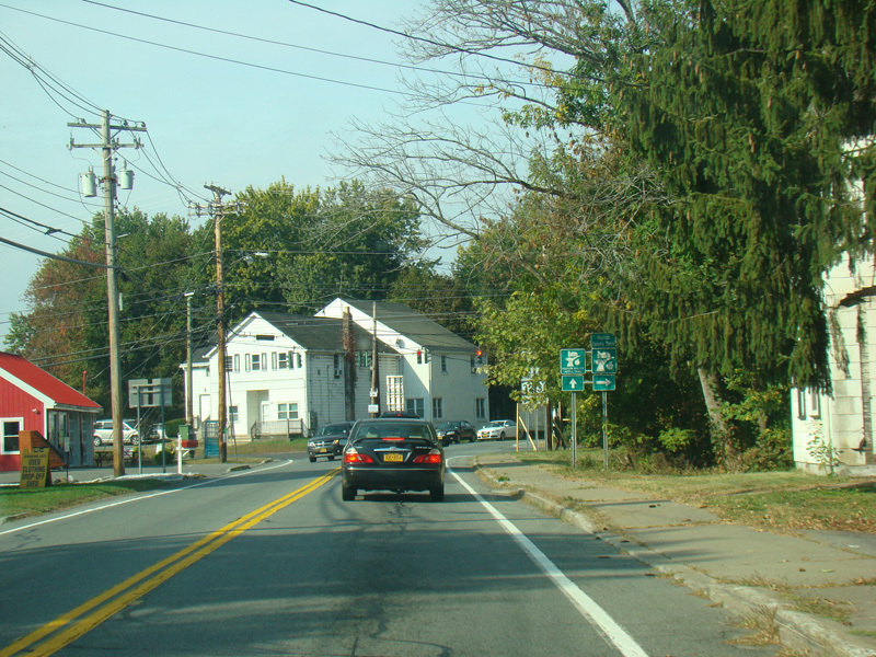
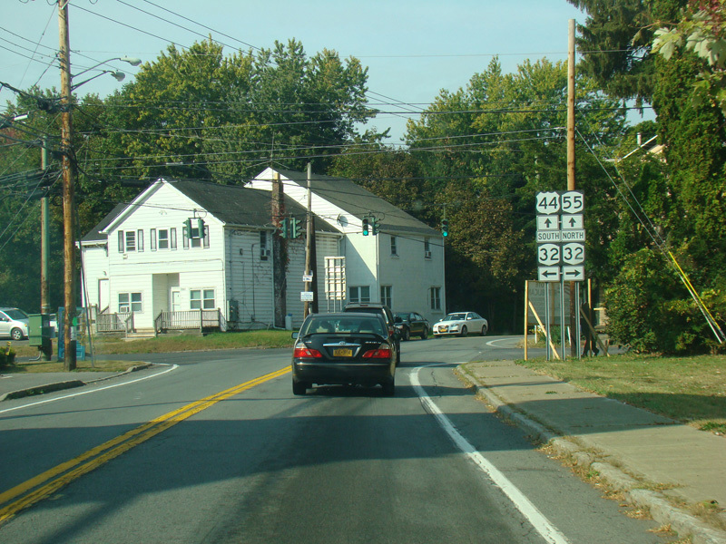
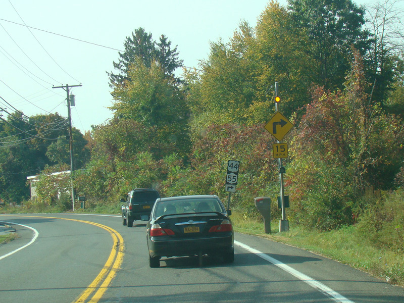
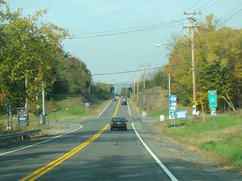
There is a traffic light at NY 32. Turn right to go north or left to go south.
Photos taken October 2017.
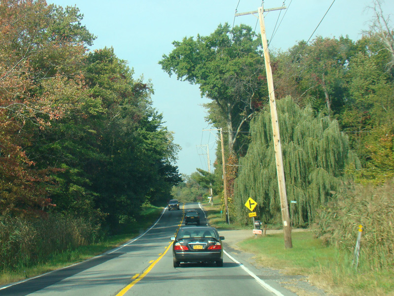
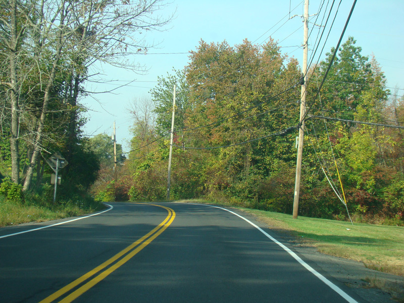
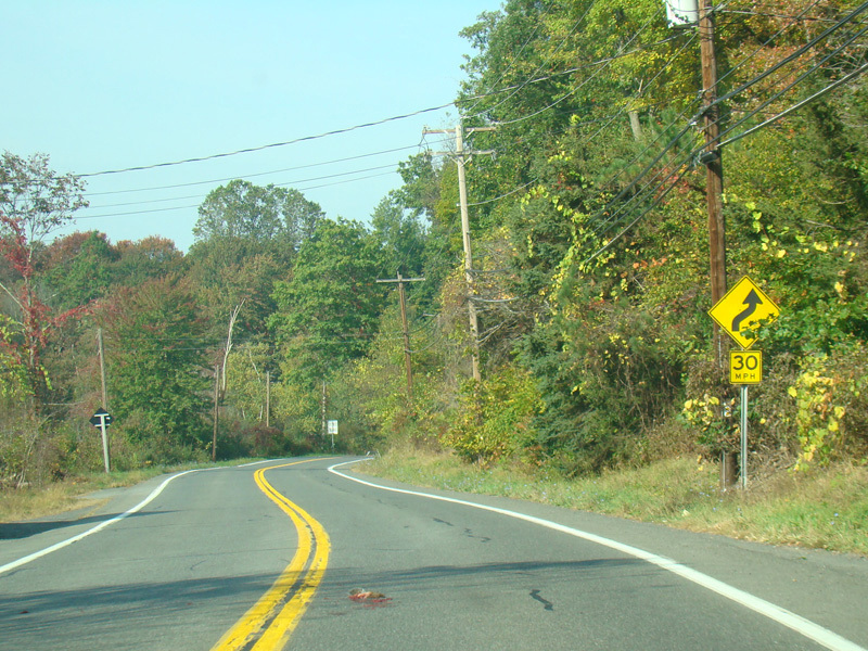
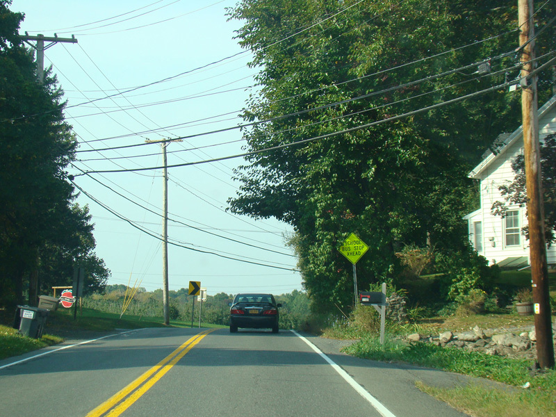
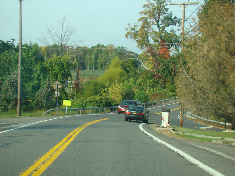
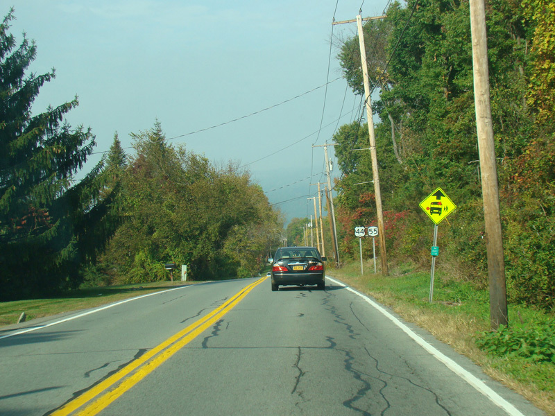
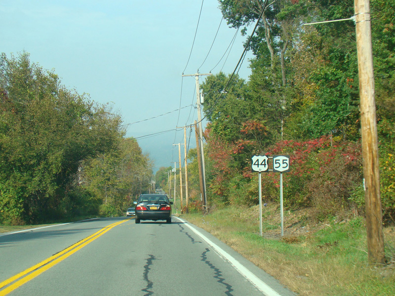
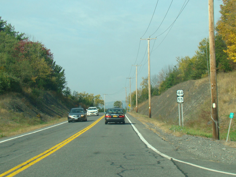
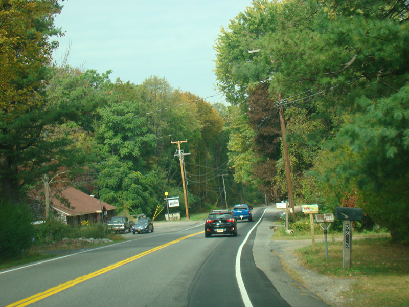
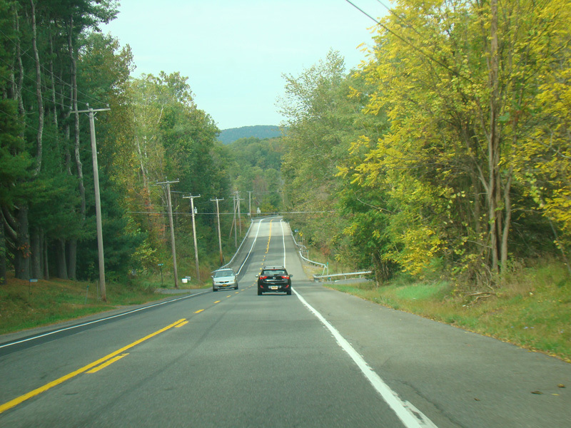
US 44/NY 55 continues west as a two-lane undivided road.
Photos taken October 2017.
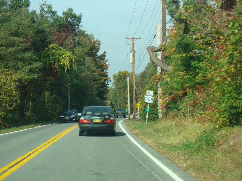
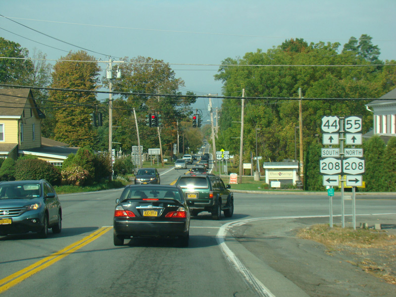
There is a traffic light at NY 208. Turn right to go north or left to go south.
Photos taken October 2017.
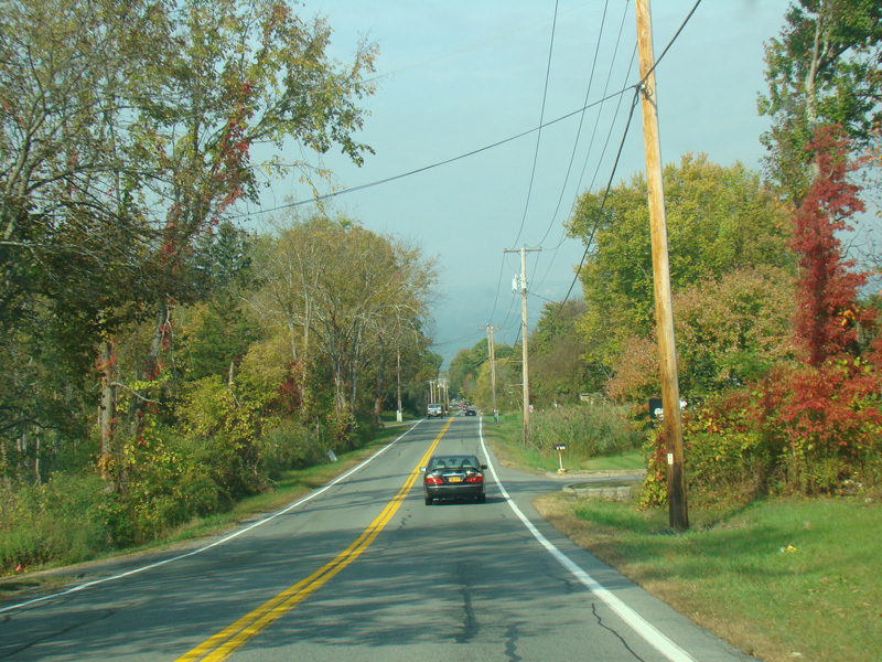
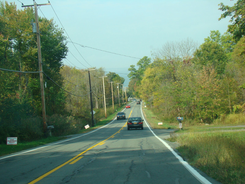
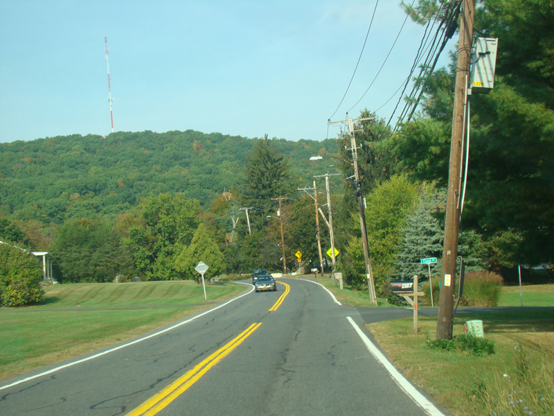
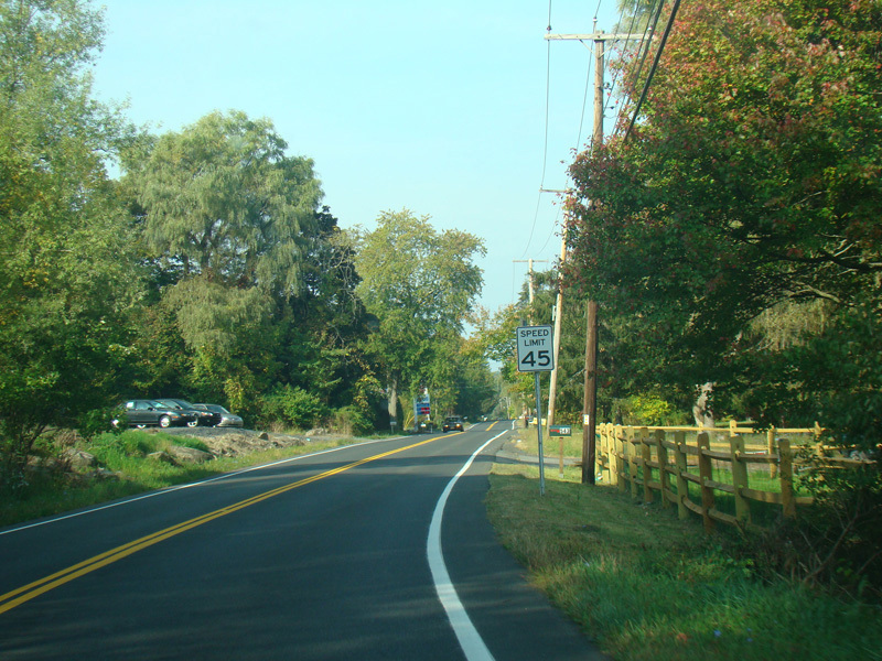
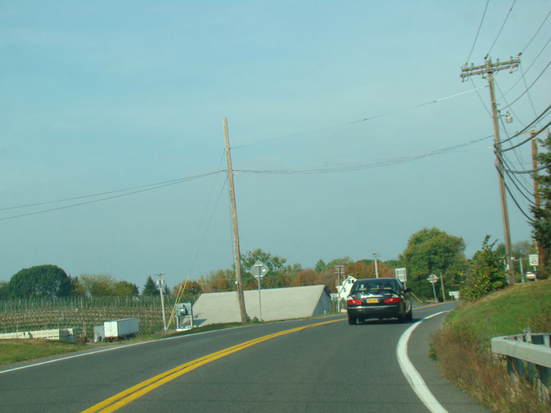
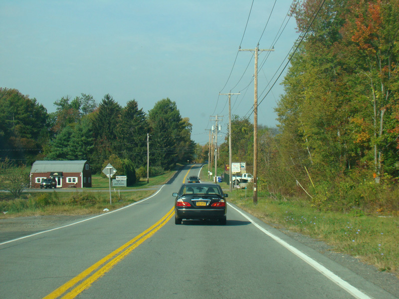
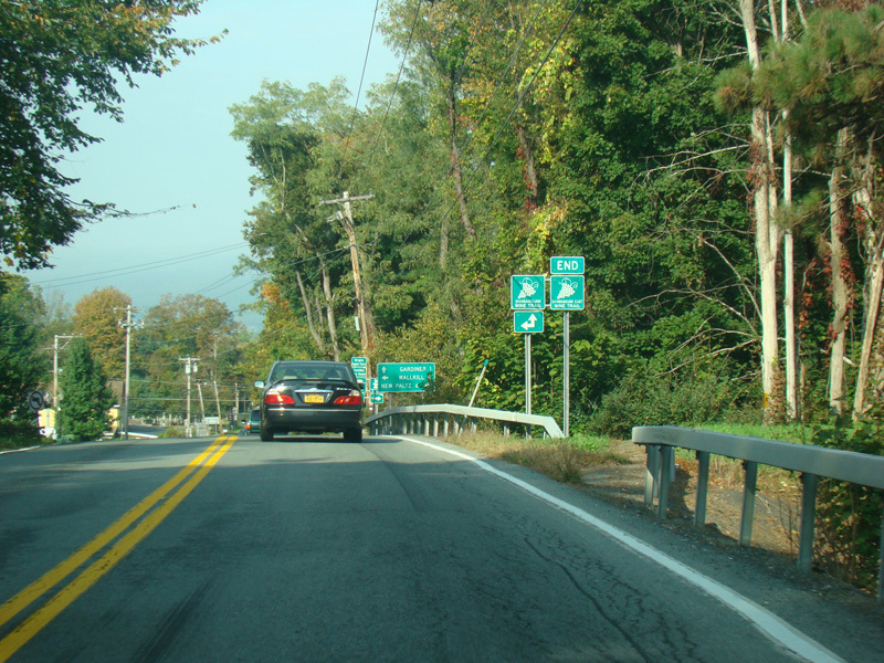
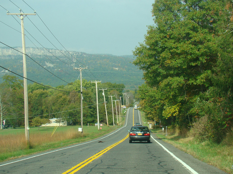
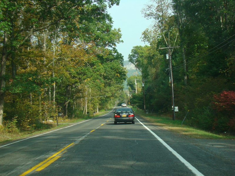
US 44/NY 55 continues west toward Gardiner.
Photos taken October 2017.
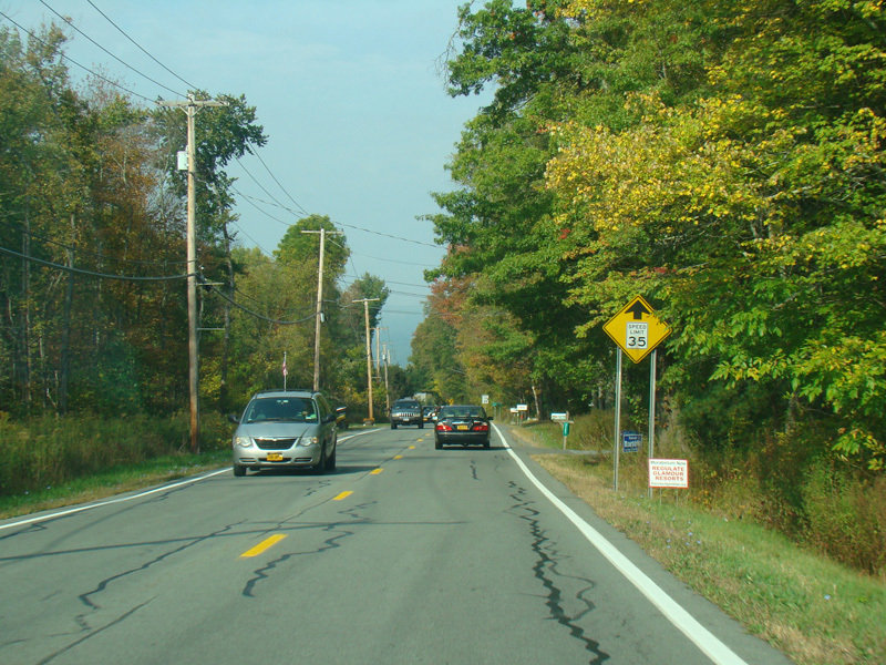
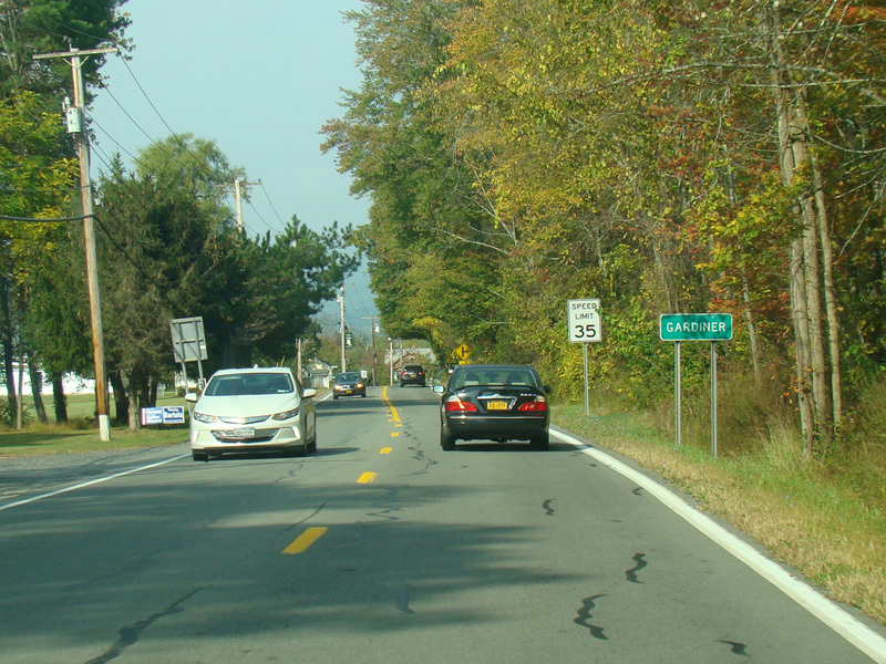
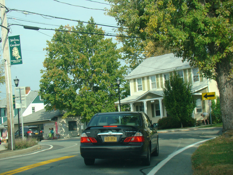
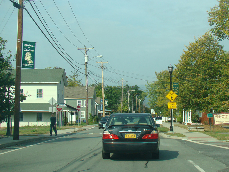
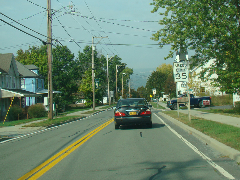
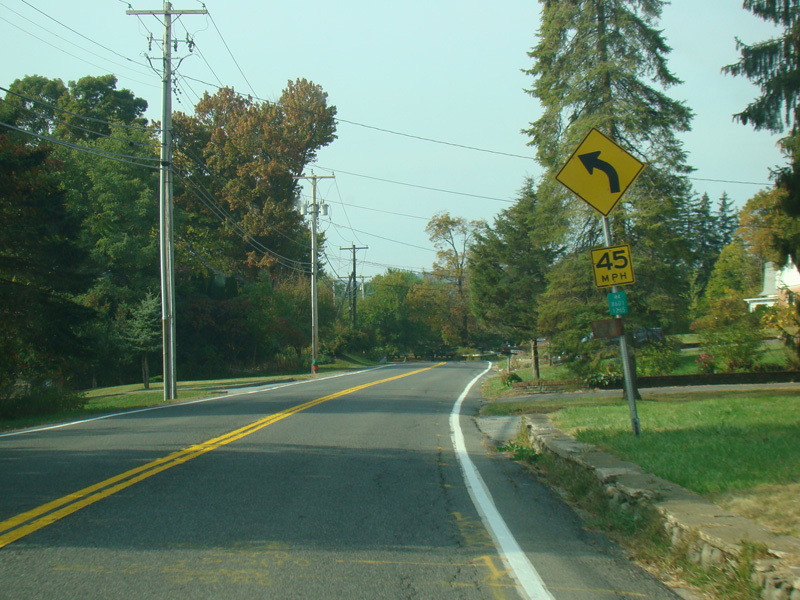
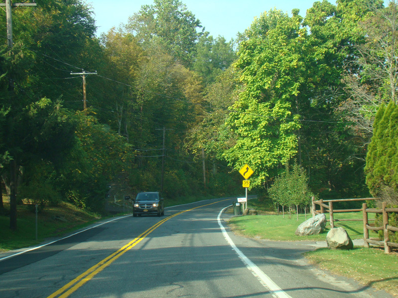
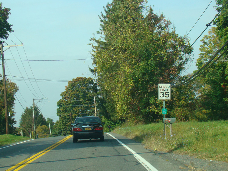
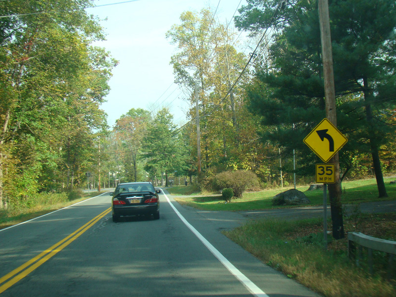
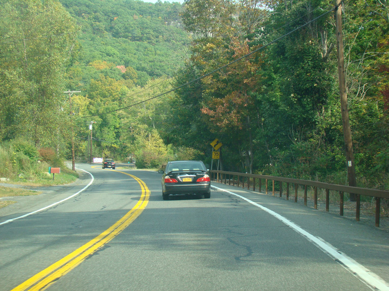
Welcome to Gardiner! The speed limit drops to 35 MPH coming into town. There is a pair of sharp curves.
Photos taken October 2017.
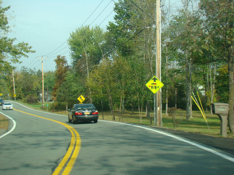
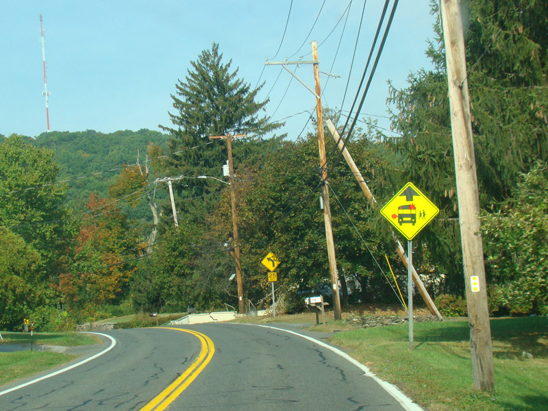
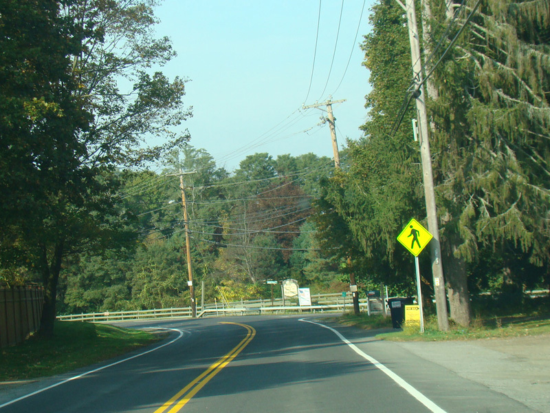
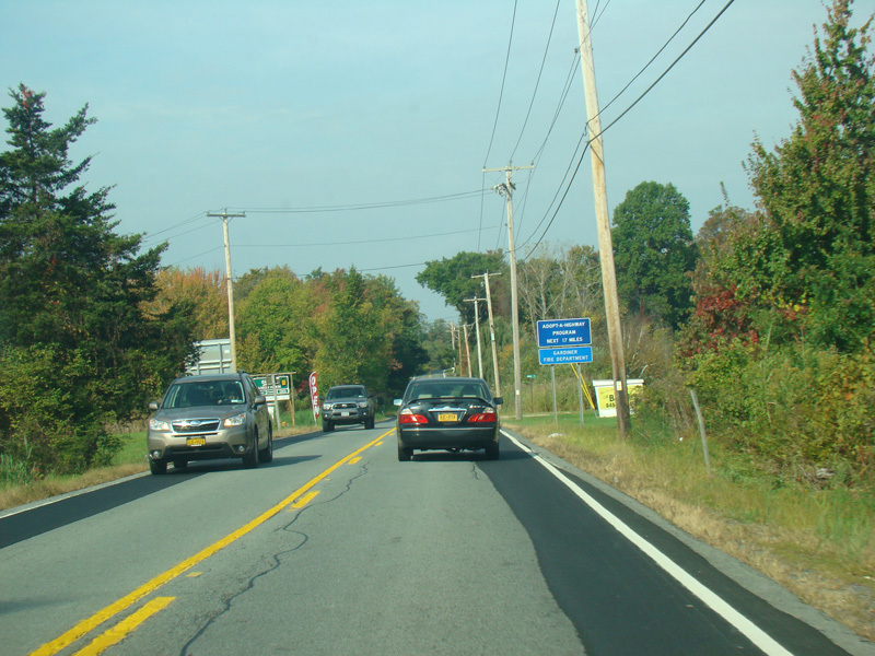
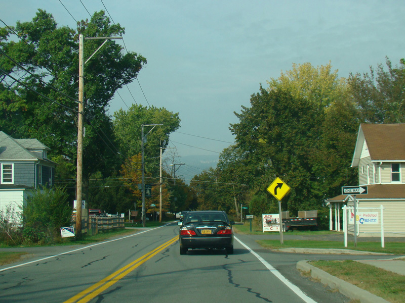
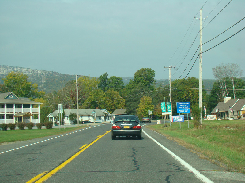
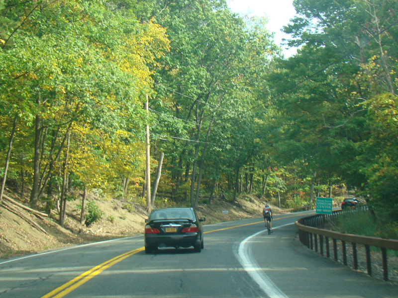
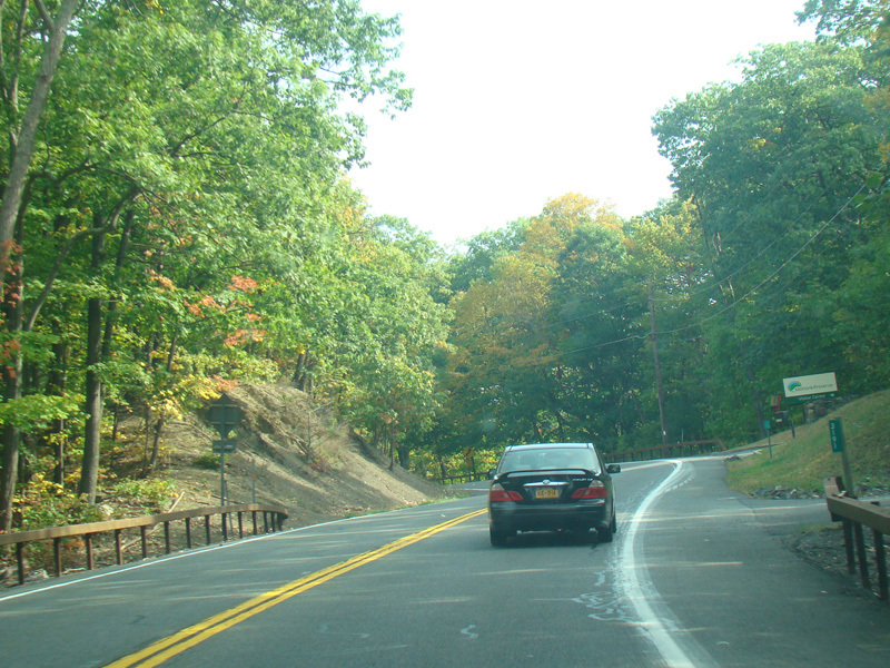
Heading out of town, US 44/NY 55 continues west.
Photos taken October 2017.
There is a small bridge over the Wallkill River.
Photos taken October 2017.
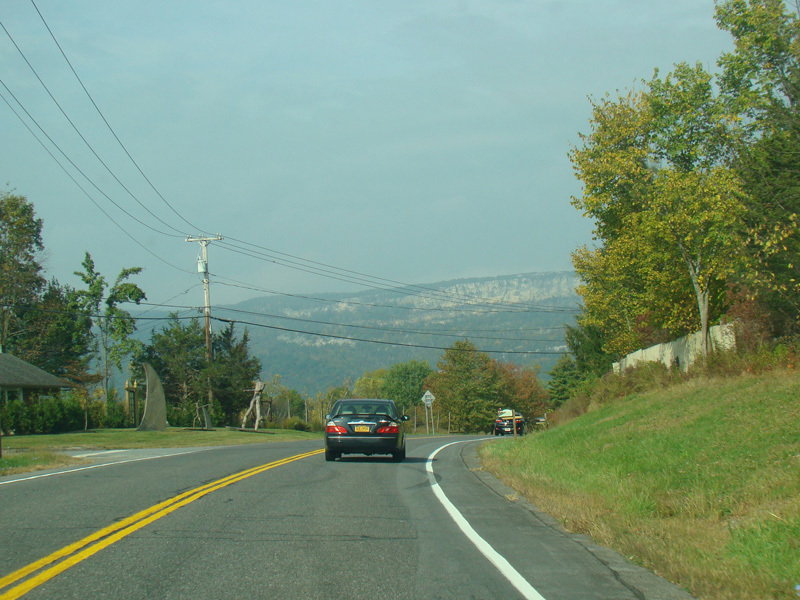
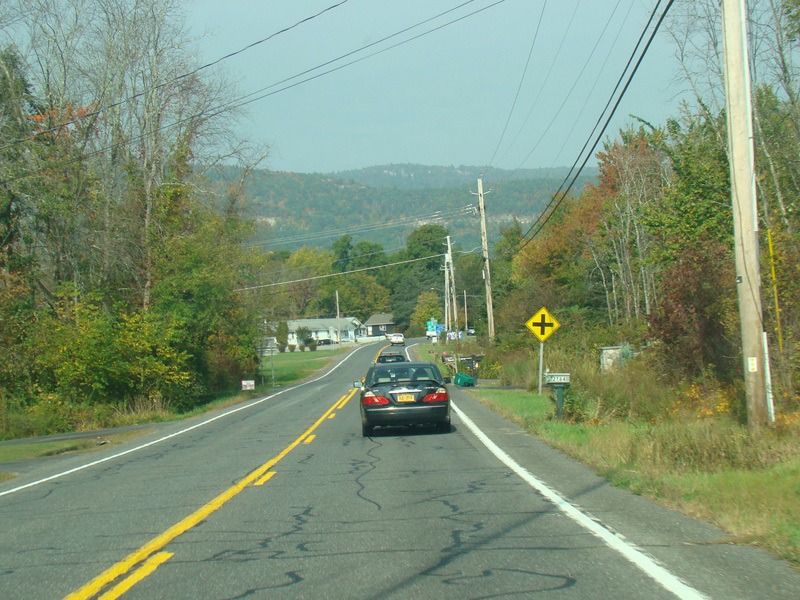
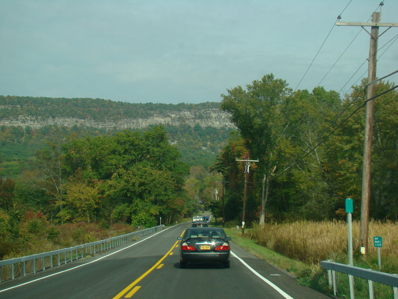
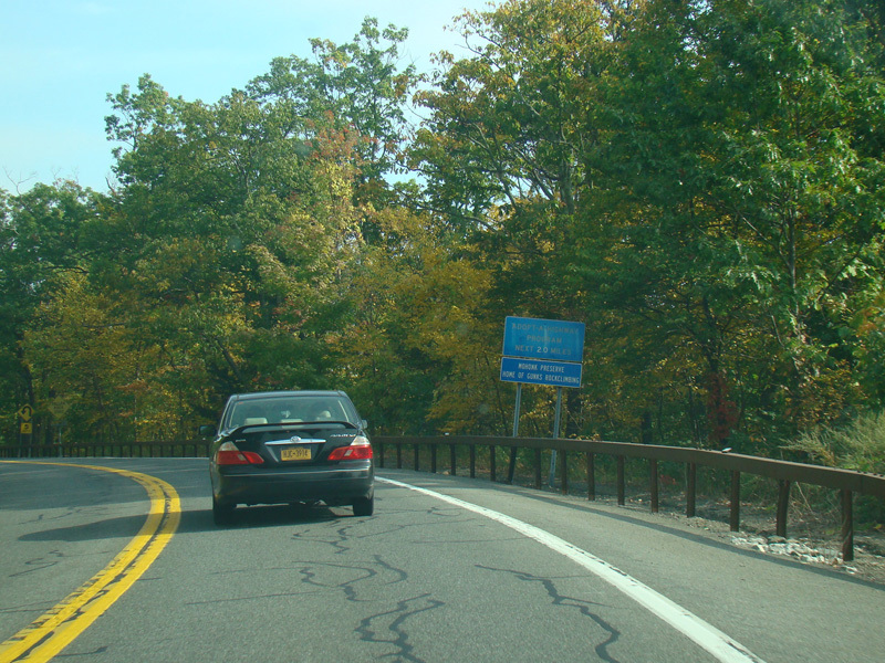
The Shawangunk Ridge becomes visible in the distance.
Photos taken October 2017.
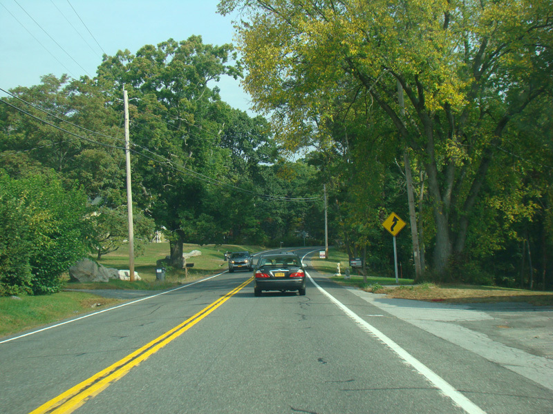
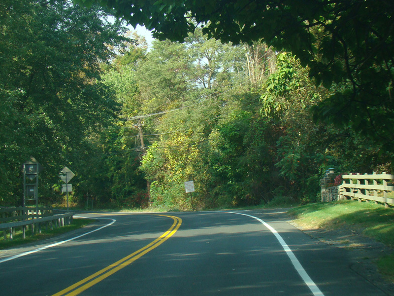
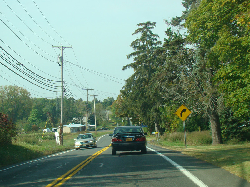
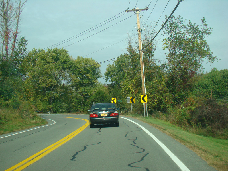
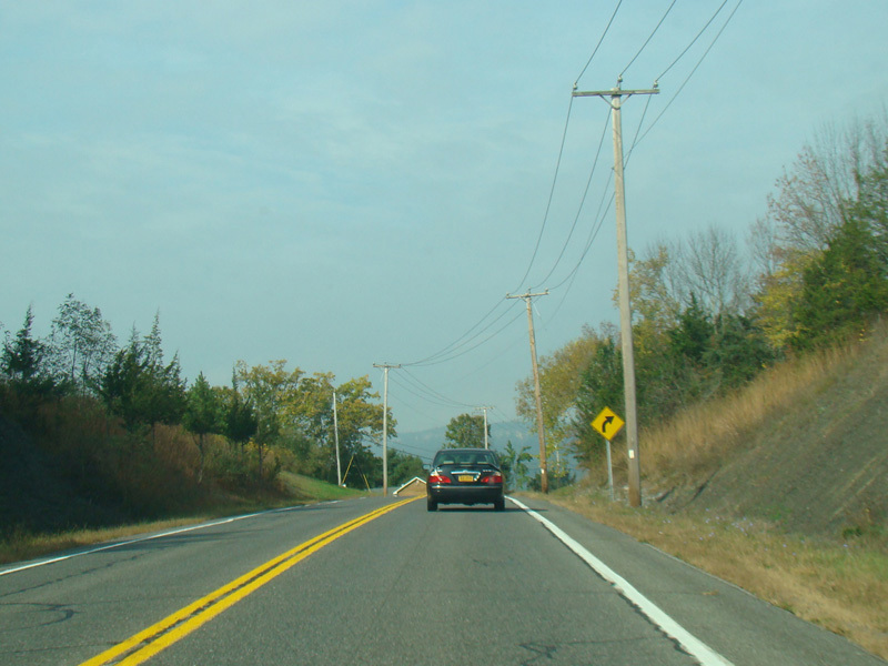
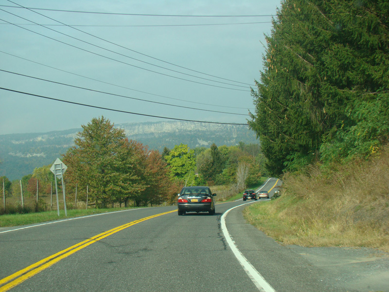
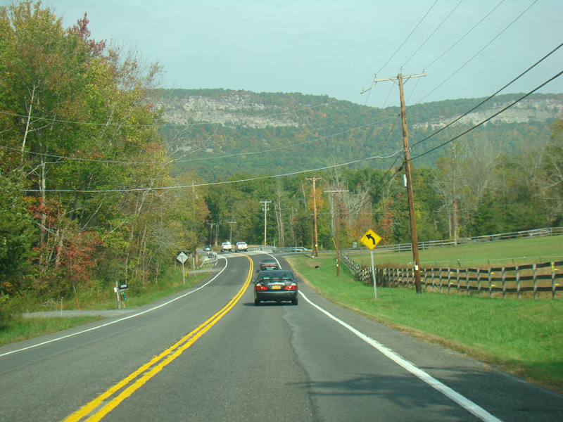
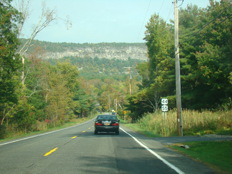
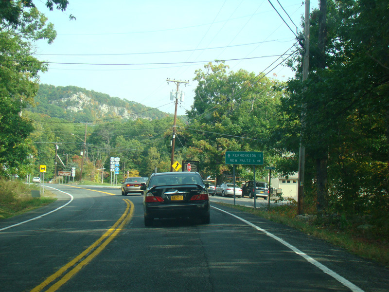
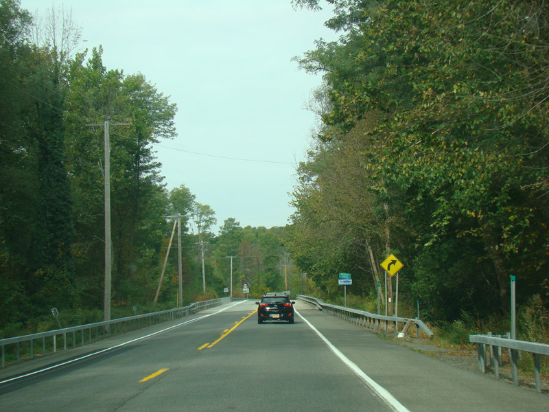
US 44/NY 55 curves to the north.
Photos taken October 2017.
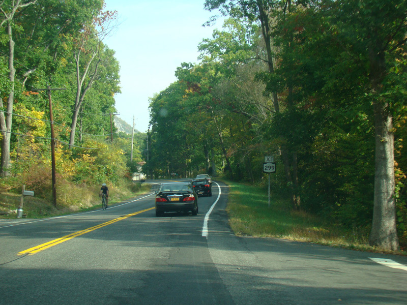
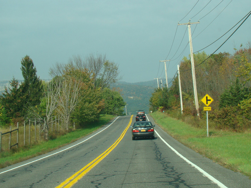
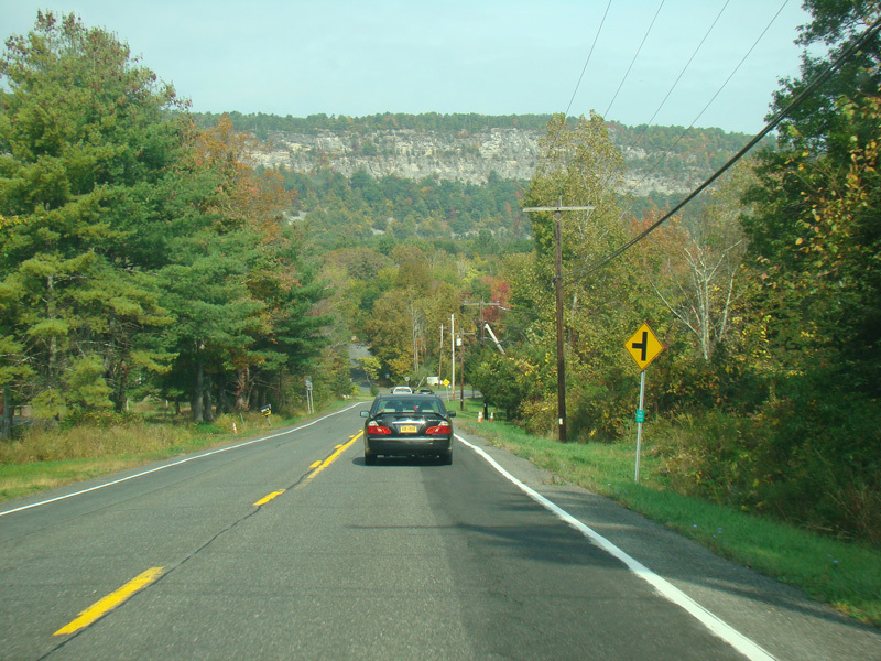
NY 299 begins on the right.
Photos taken October 2017.
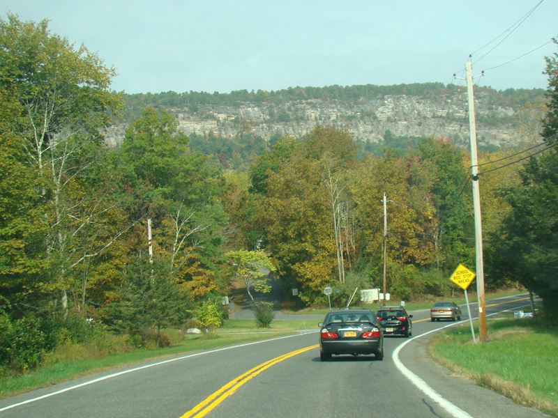
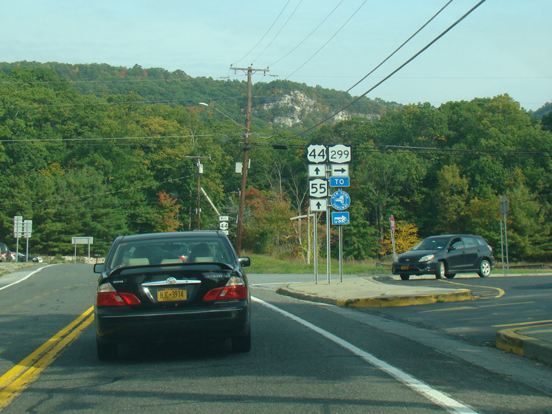
Here, US 44 is erroneously signed as NY 44.
Photo taken October 2017.
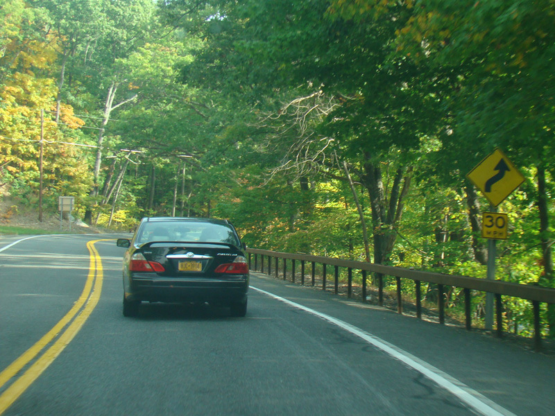
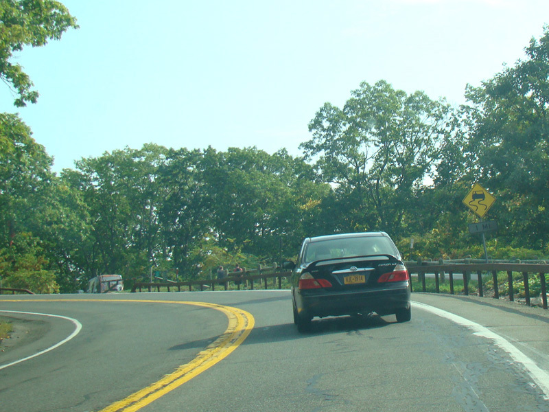
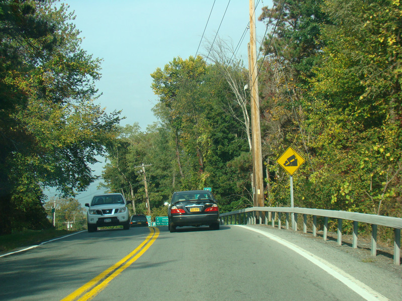
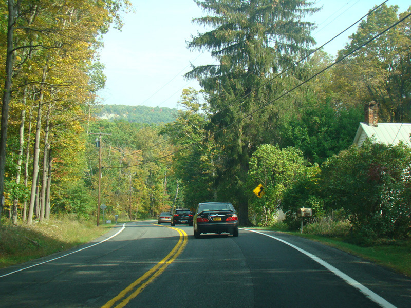
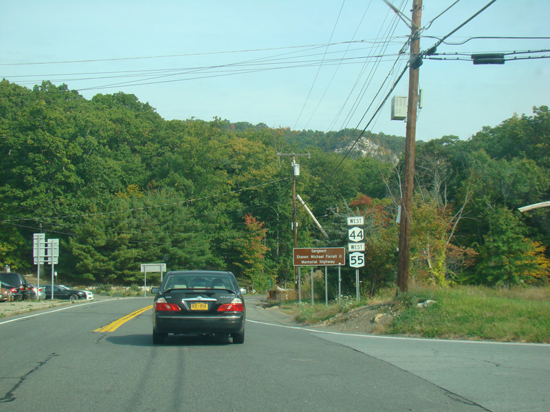
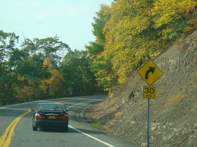
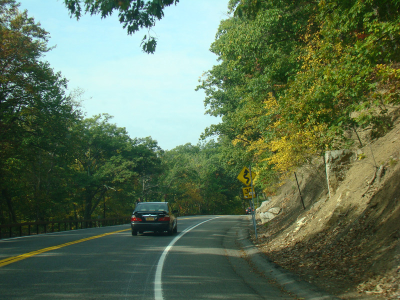
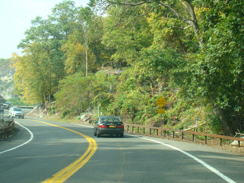
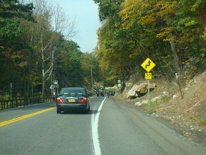
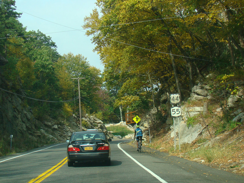
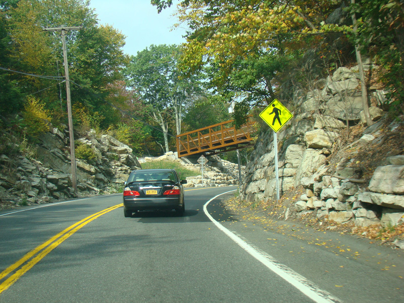
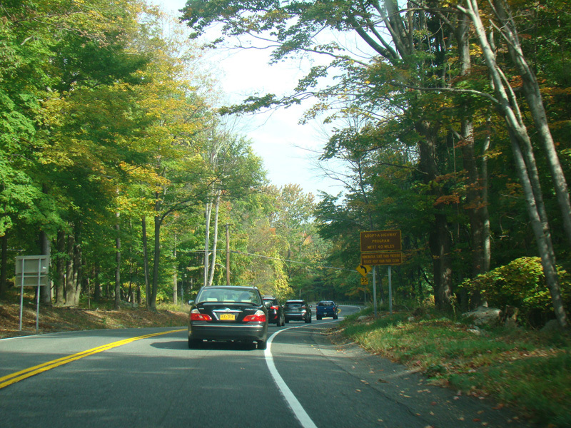
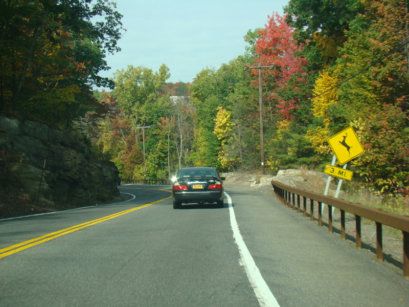
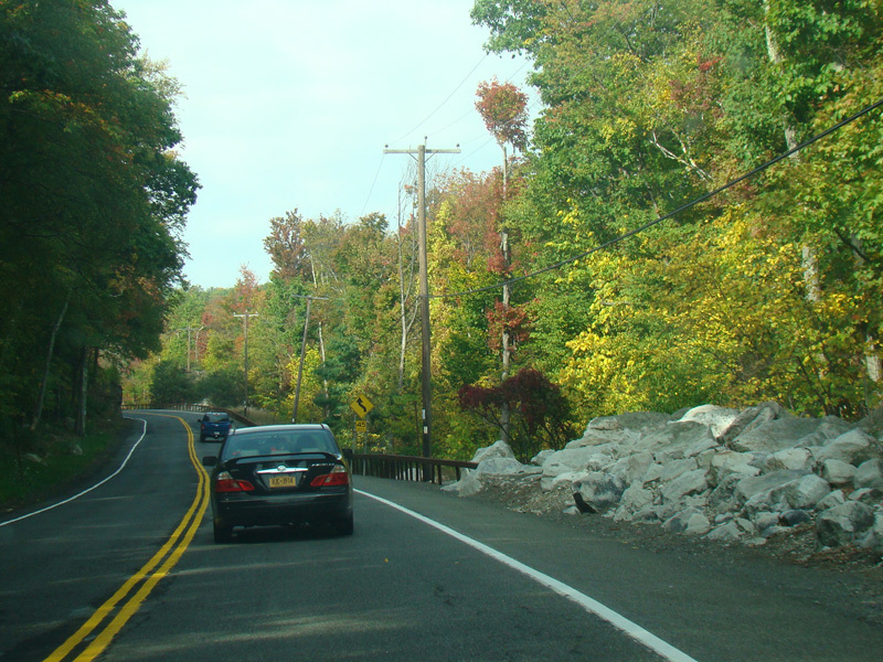
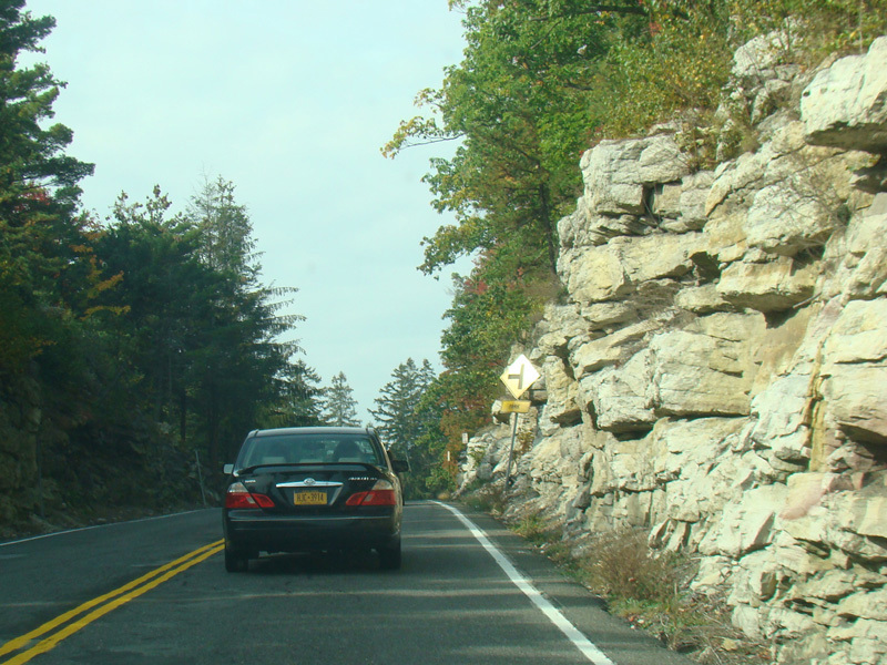
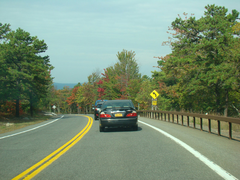
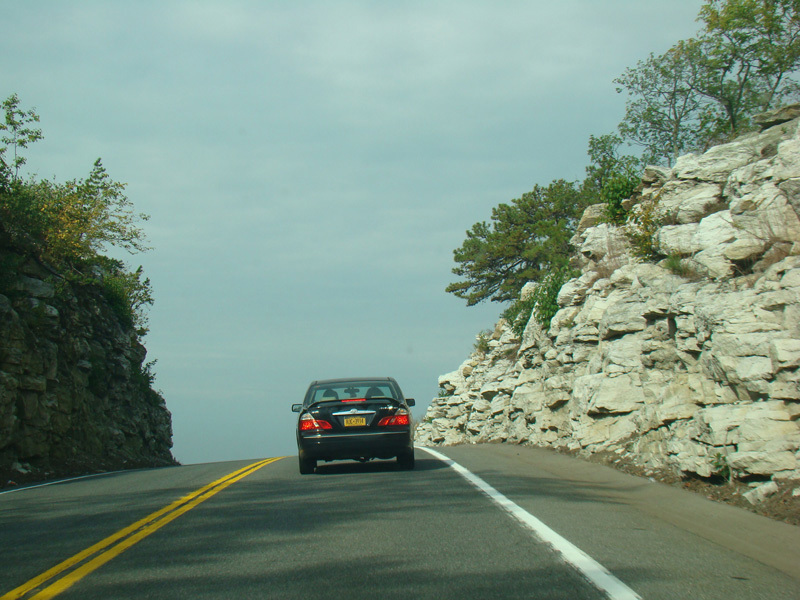
US 44/NY 55 descends as it approaches the Shawangunk Ridge.
Photos taken October 2017.
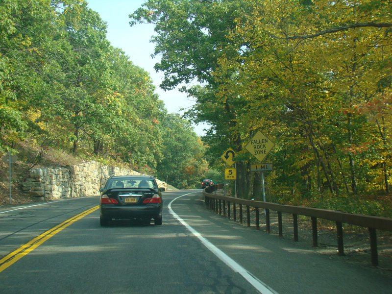
There is a sharp switchback where it is advised that motorists slow down to 5 MPH.
Photos taken October 2017.
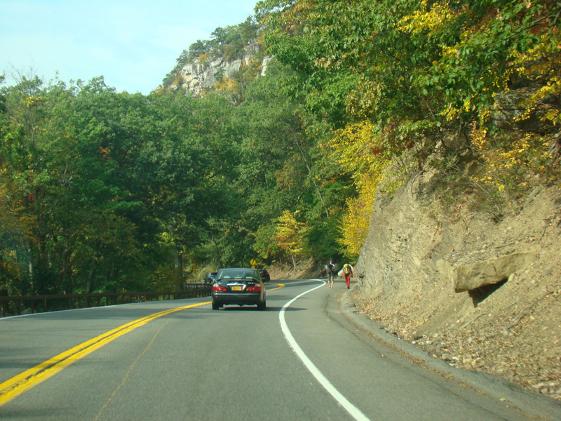
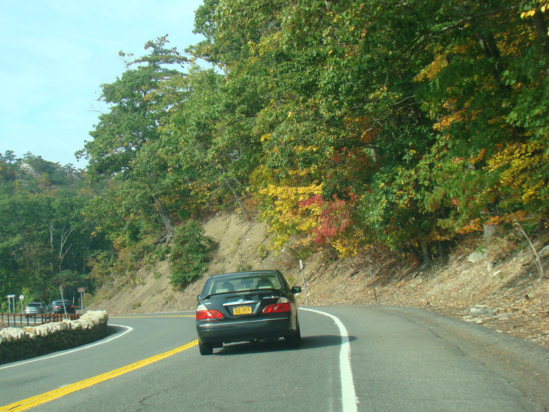
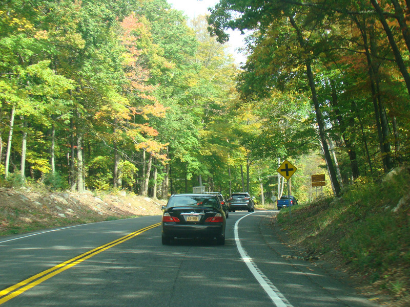
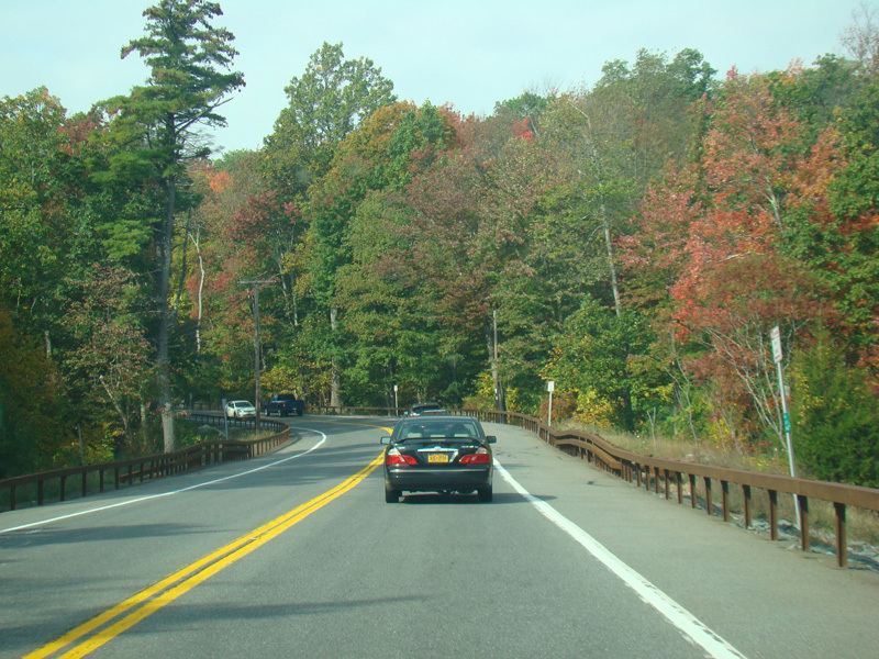
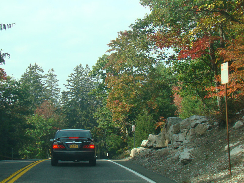
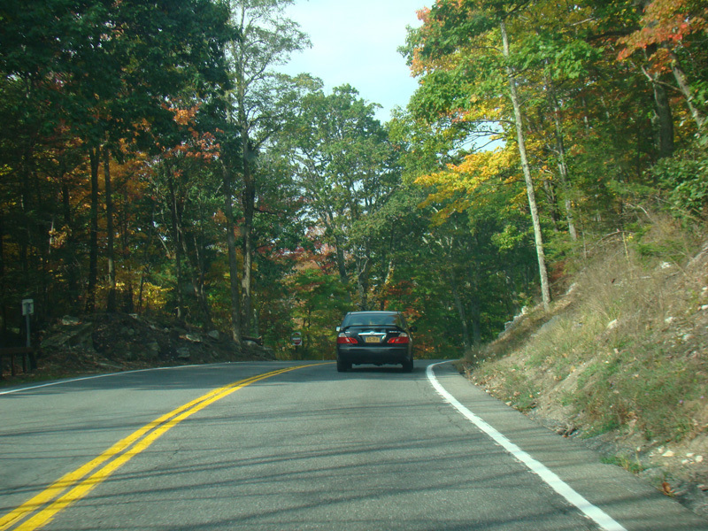
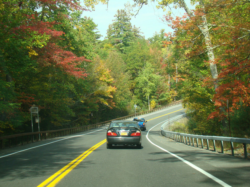
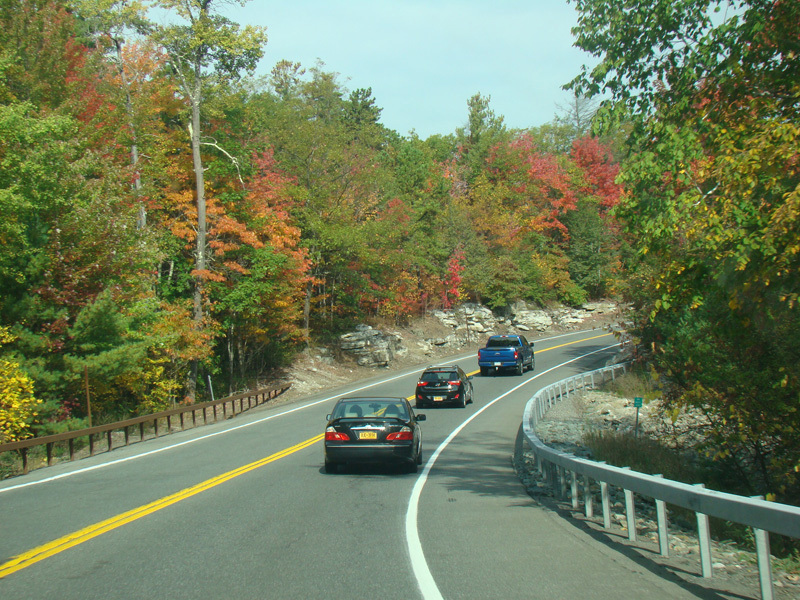
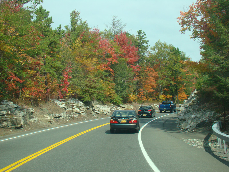
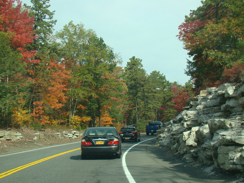
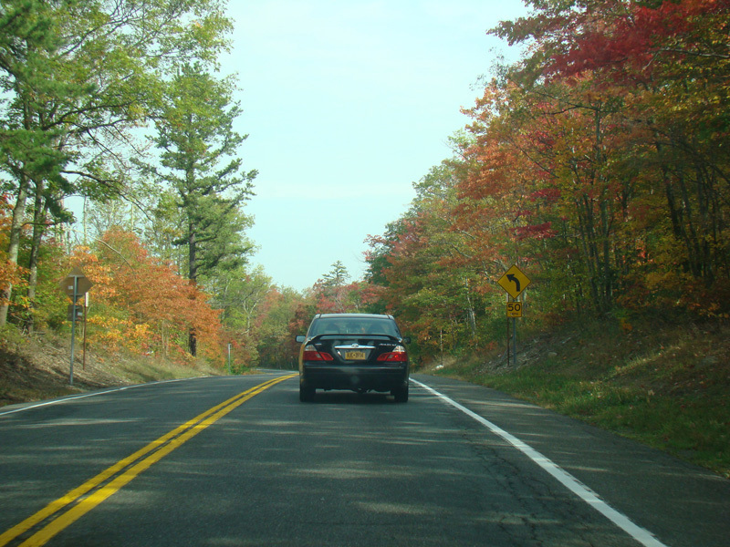
US 44/NY 55 begins to climb up the Shawangunk Ridge.
Photos taken October 2017.
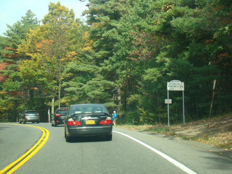
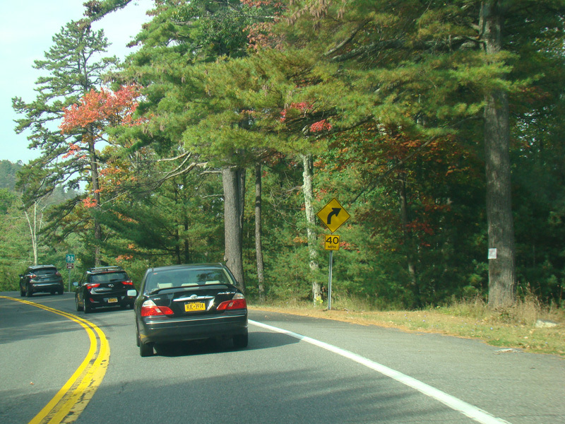

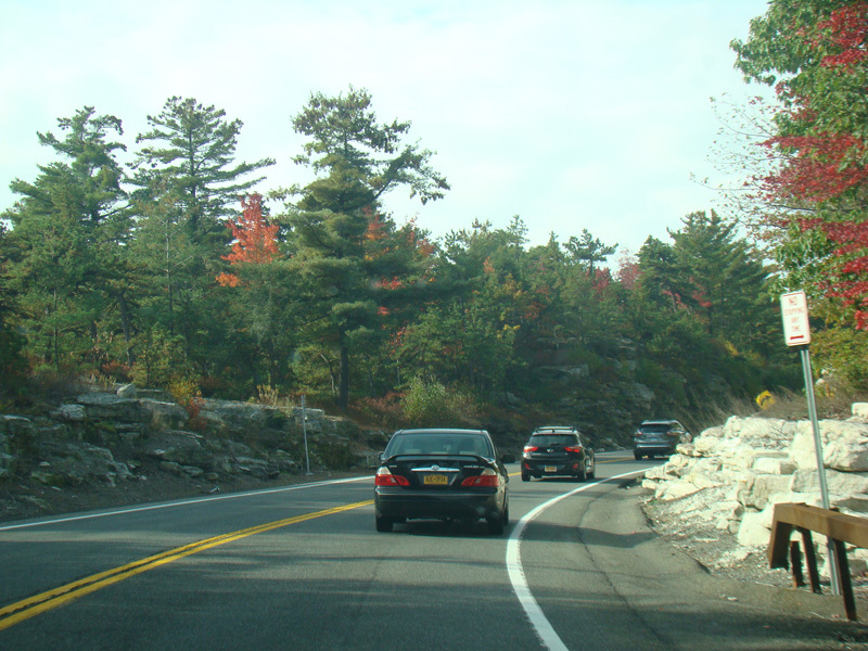
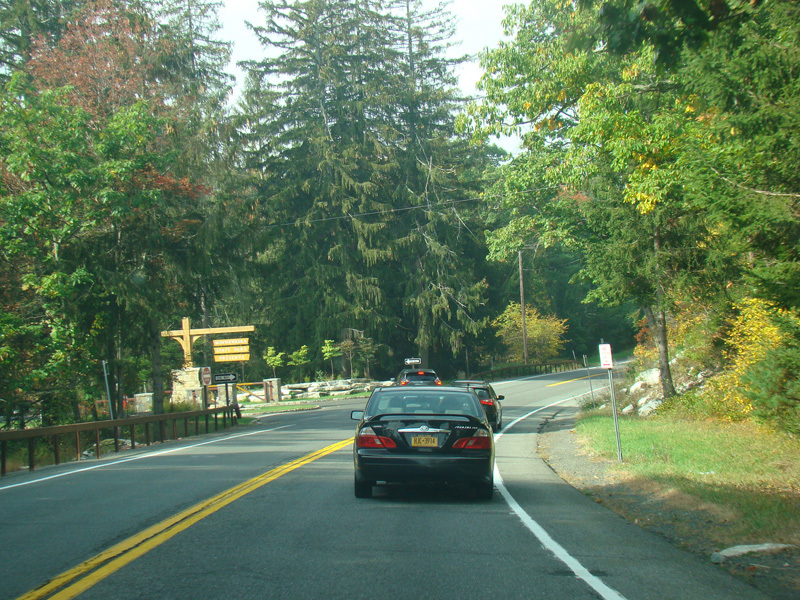
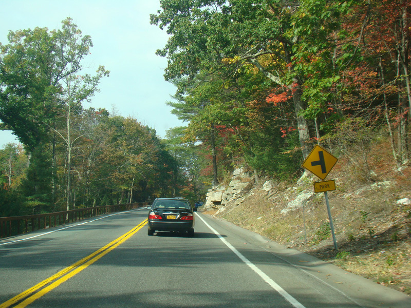
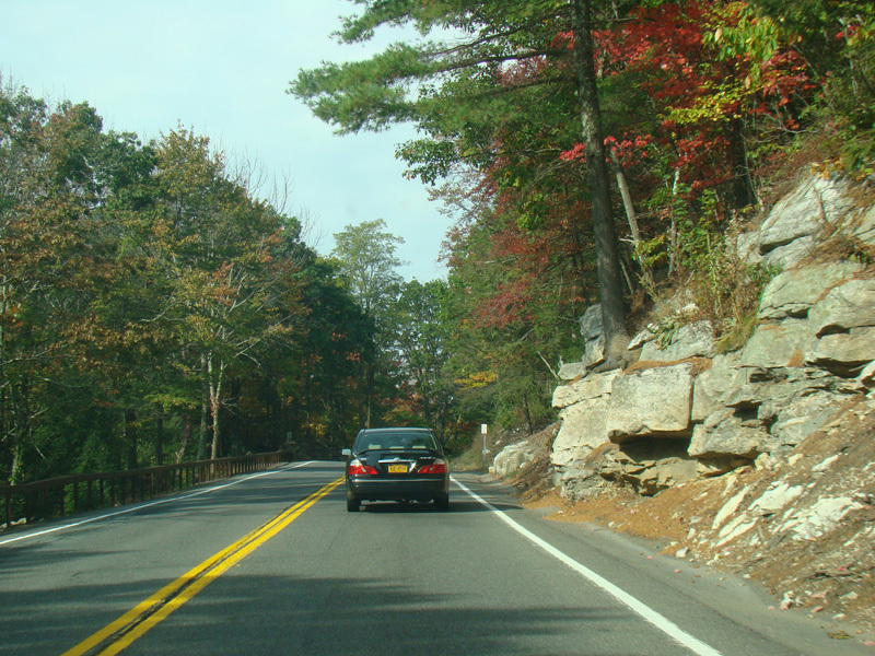
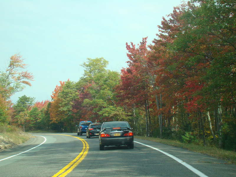
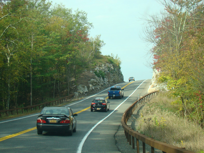
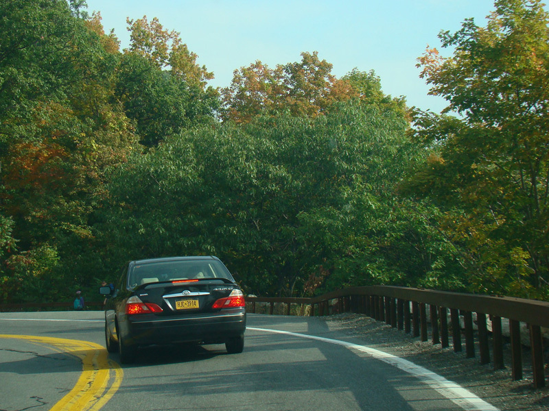
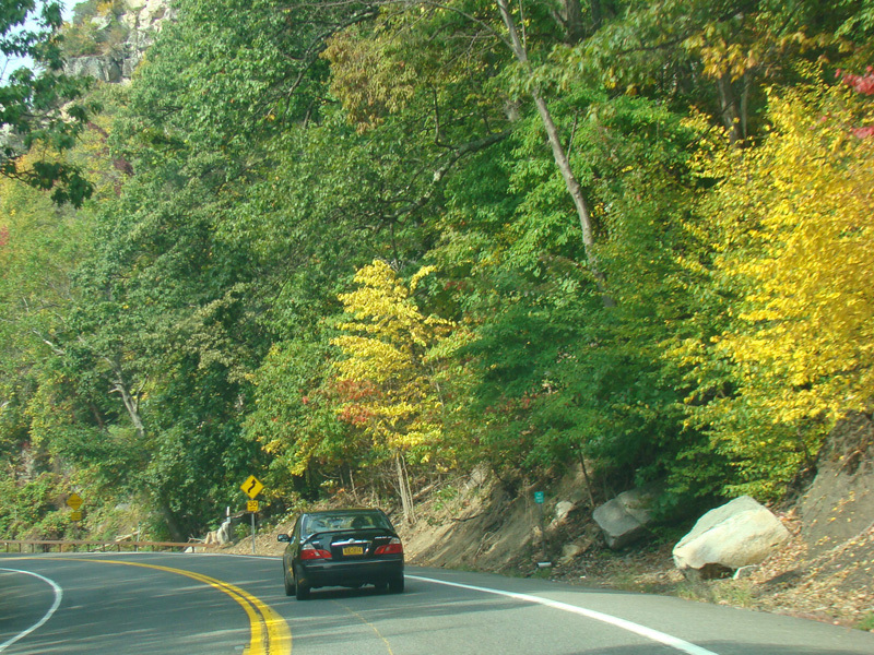
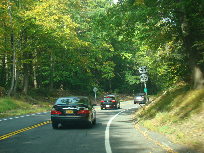
Welcome to the Town of Rochester! It is not to be confused with the City of Rochester, which is nowhere near here. US 44/NY 55 continues to ascend.
Photos taken October 2017.
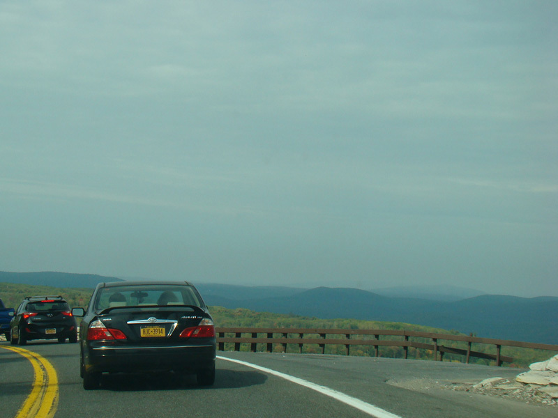
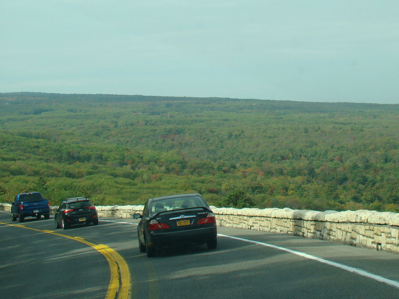
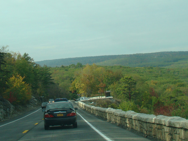
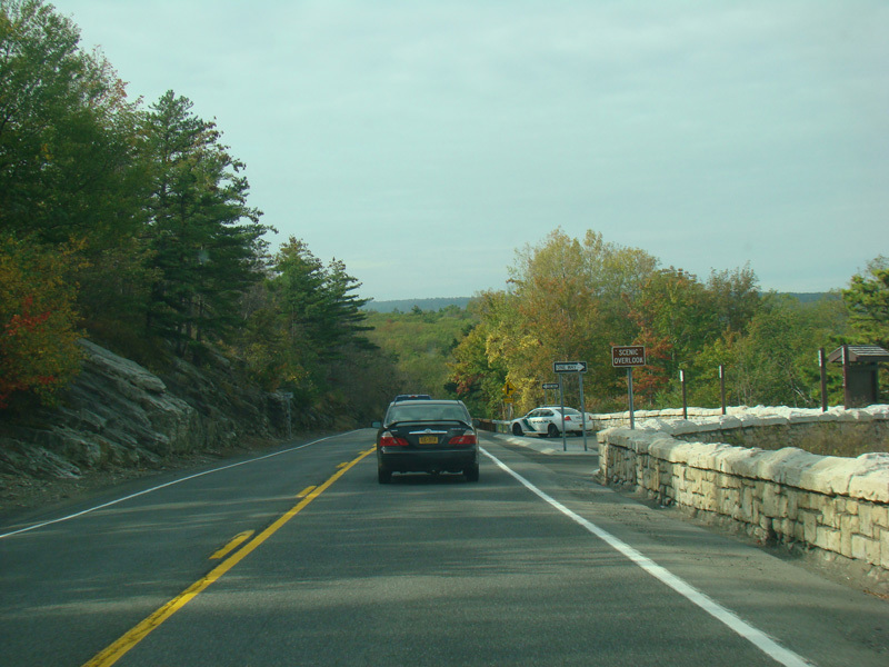
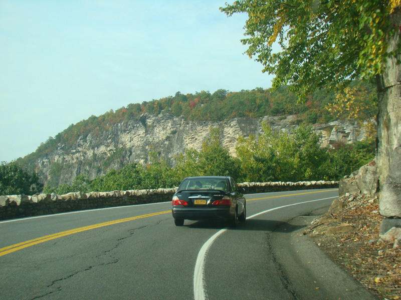
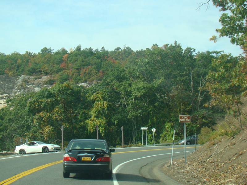
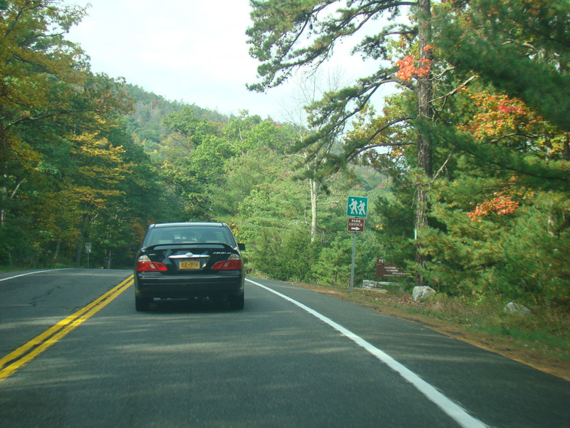
At the top, there is a scenic overlook.
Photos taken October 2017.
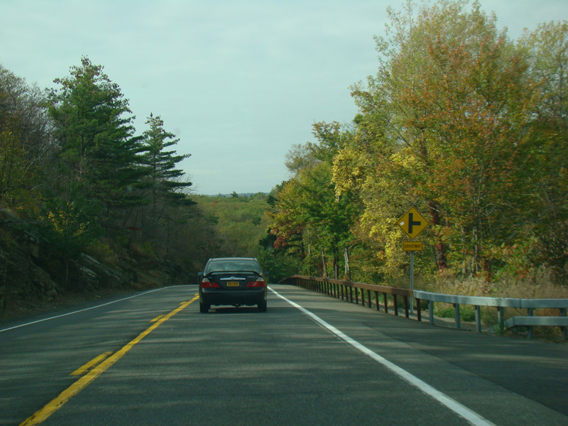
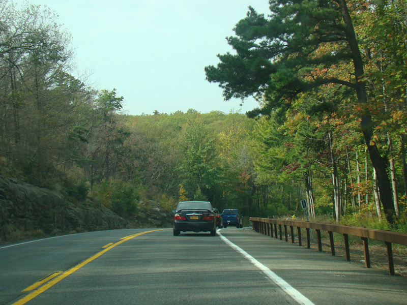
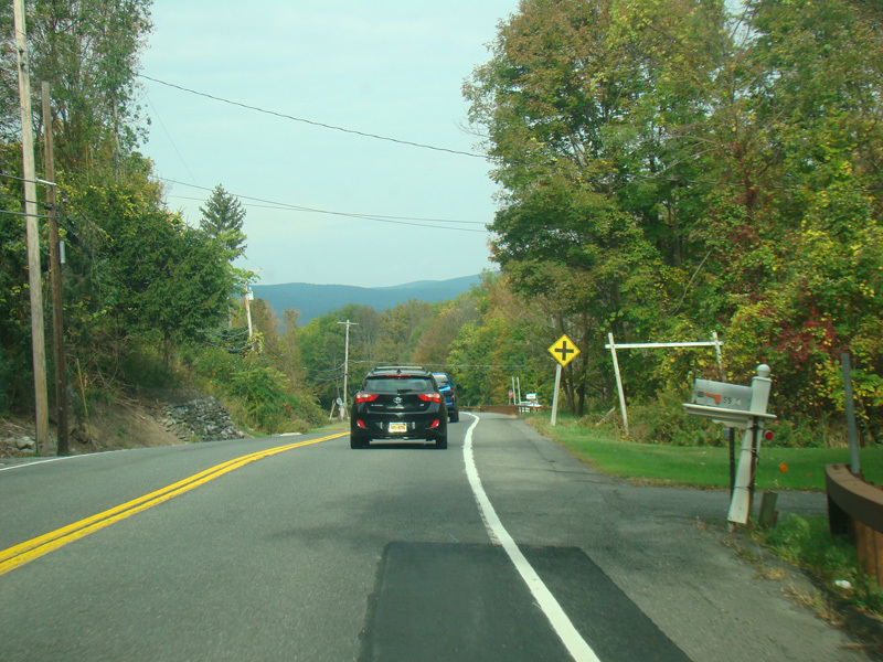
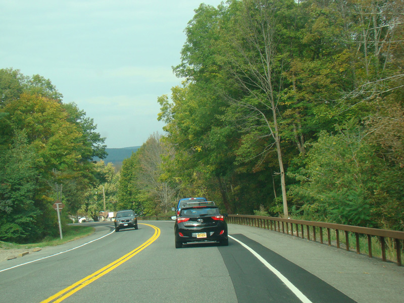
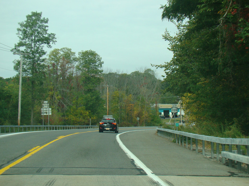
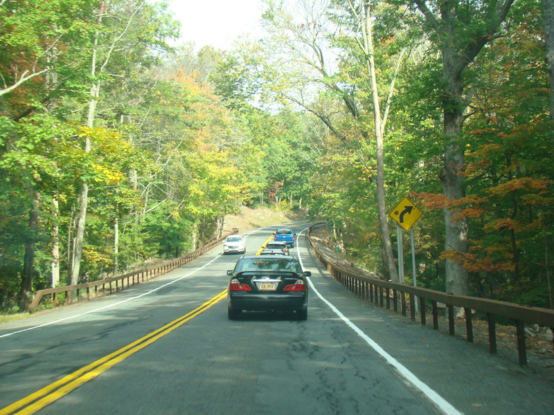
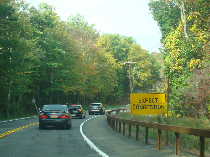
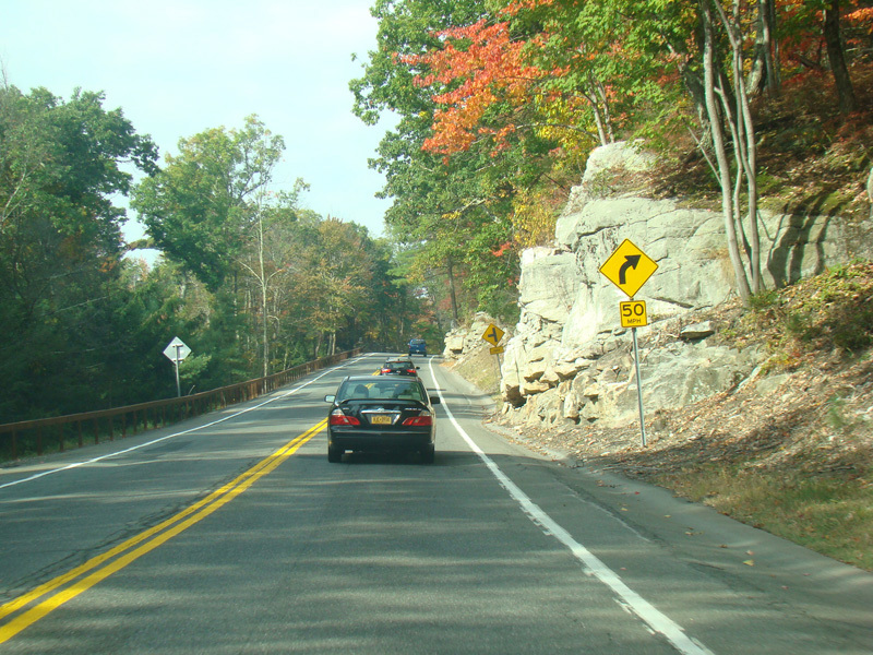
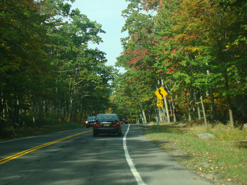
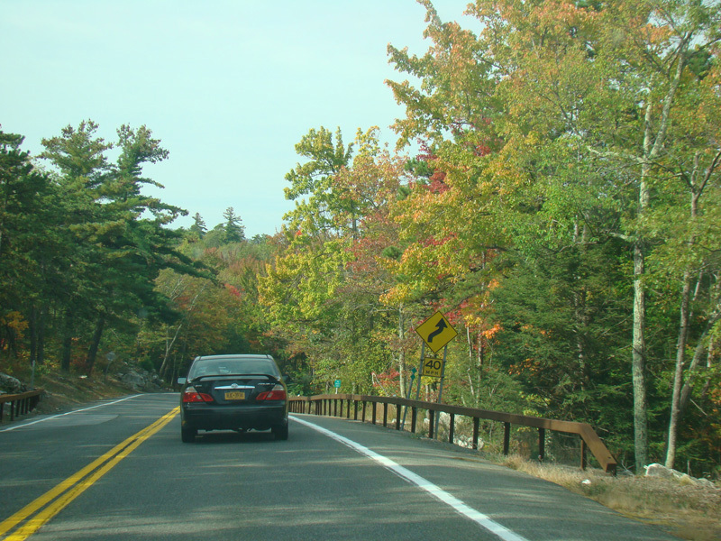
US 44/NY 55 continues west toward Kerhonkson.
Photos taken October 2017.
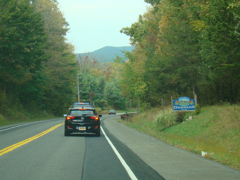
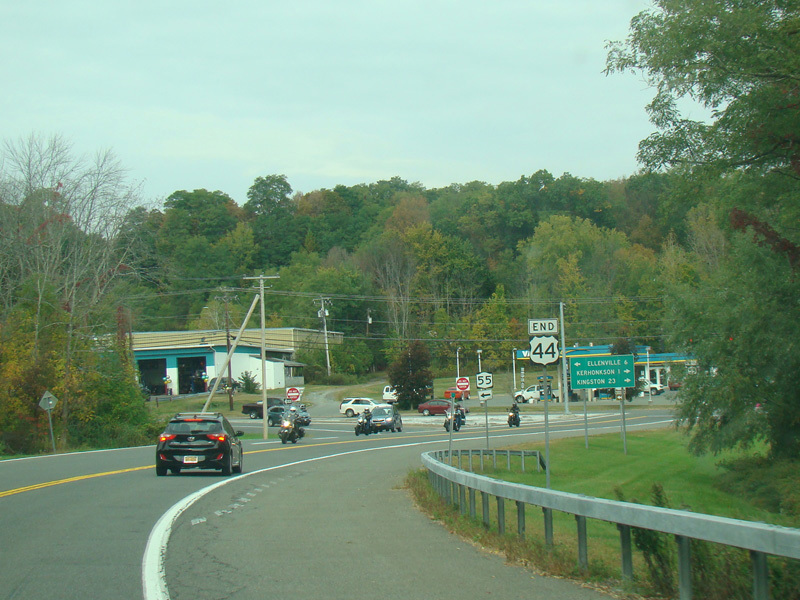
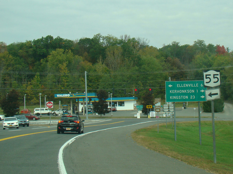
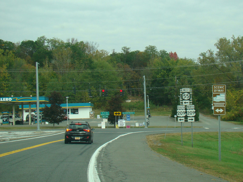
Welcome to Kerhonkson!
Photos taken October 2017.
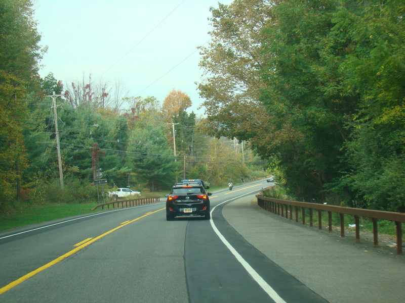
There is a small bridge at Rondout Creek.
Photo taken October 2017.