Connecticut Turnpike
Northbound Views
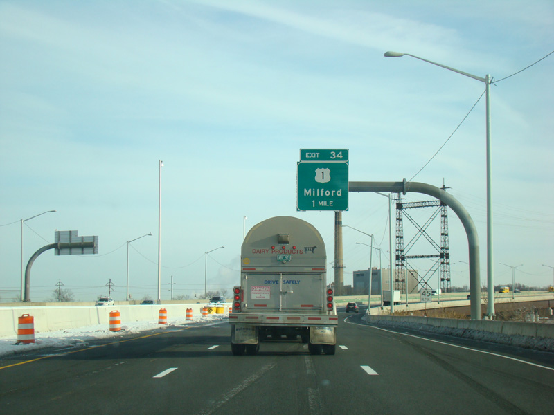
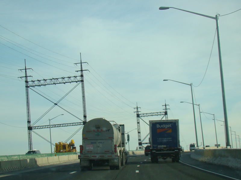
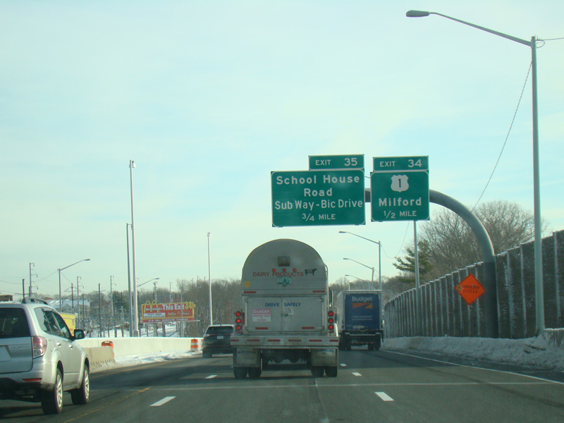
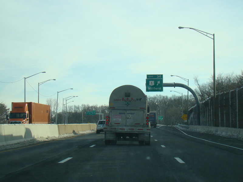
The Connecticut Turnpike crosses the Housatonic River to New Haven County. Exit 34 is for Bridgeport Avenue (US 1).
Photos taken February 2016.
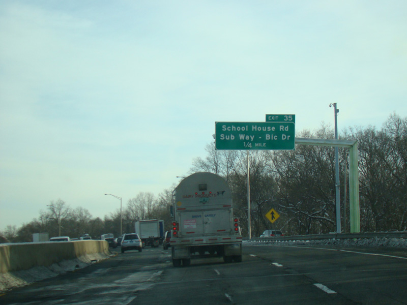
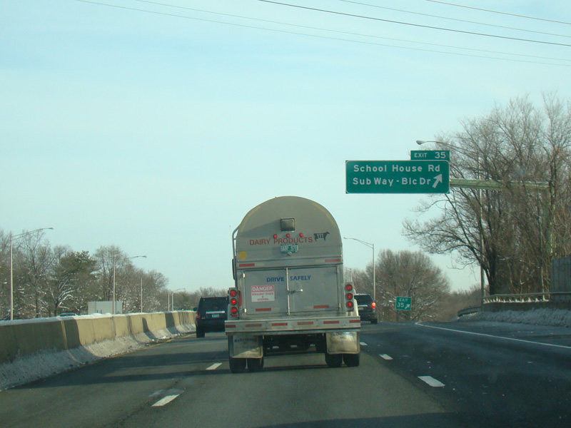
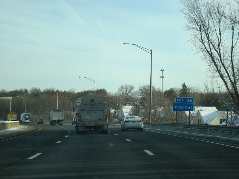
Exit 35 is for School House Road, Sub Way, and Bic Drive.
Photos taken February 2016.
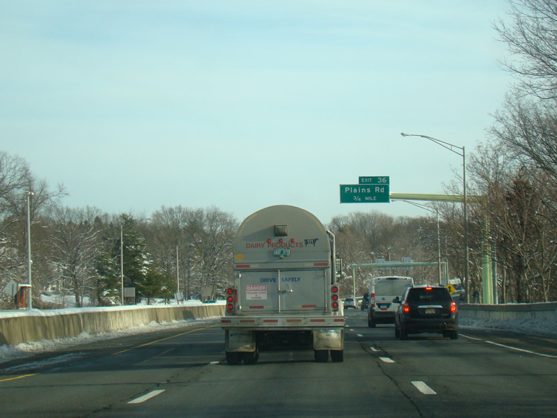
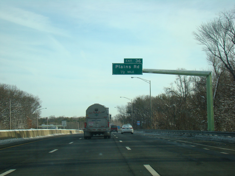
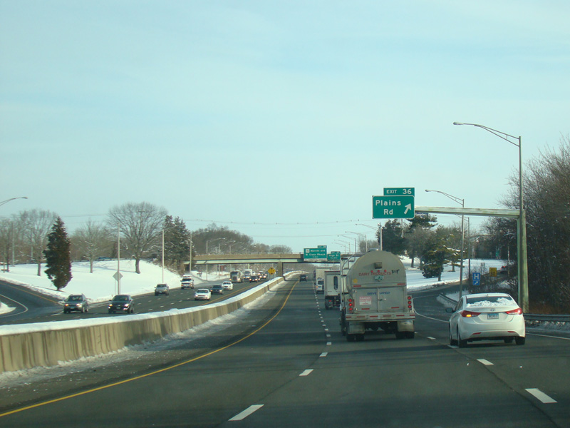
Exit 36 is for Plains Road.
Photos taken February 2016.
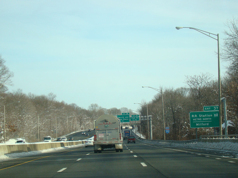
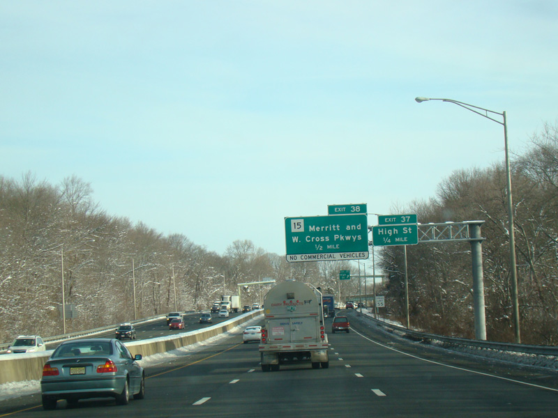
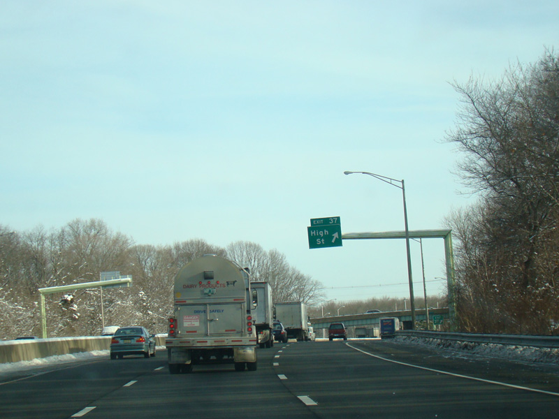
Exit 37 is for High Street.
Photos taken February 2016.
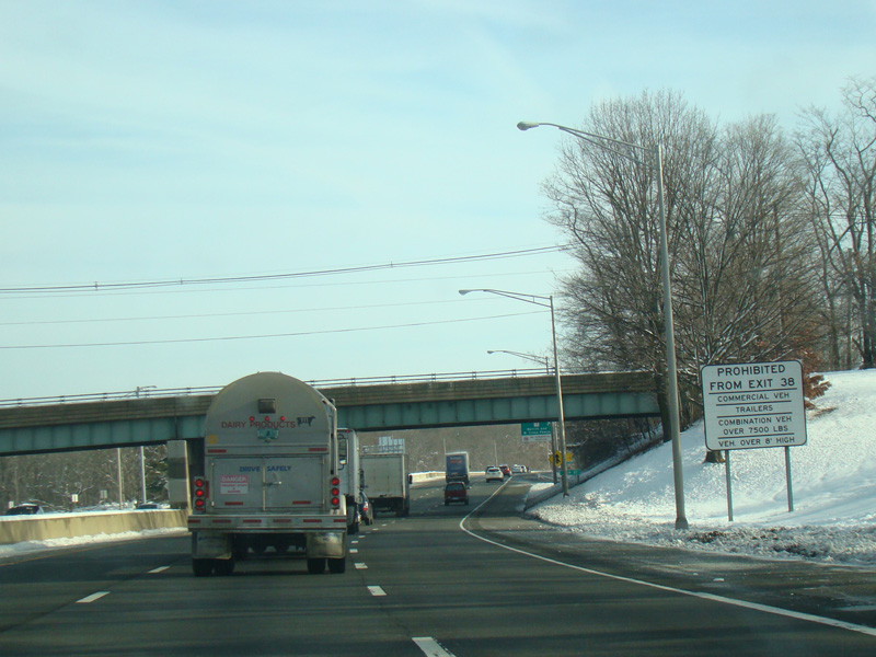
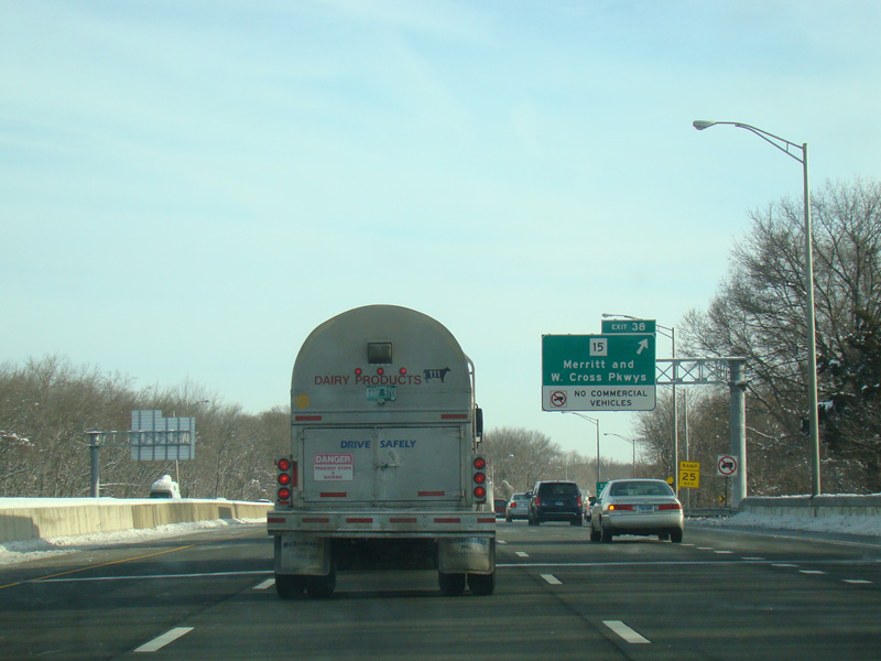
Exit 38 is for the Merritt Parkway (CT 15) and the Wilbur Cross Parkway (CT 15).
Photos taken February 2016.
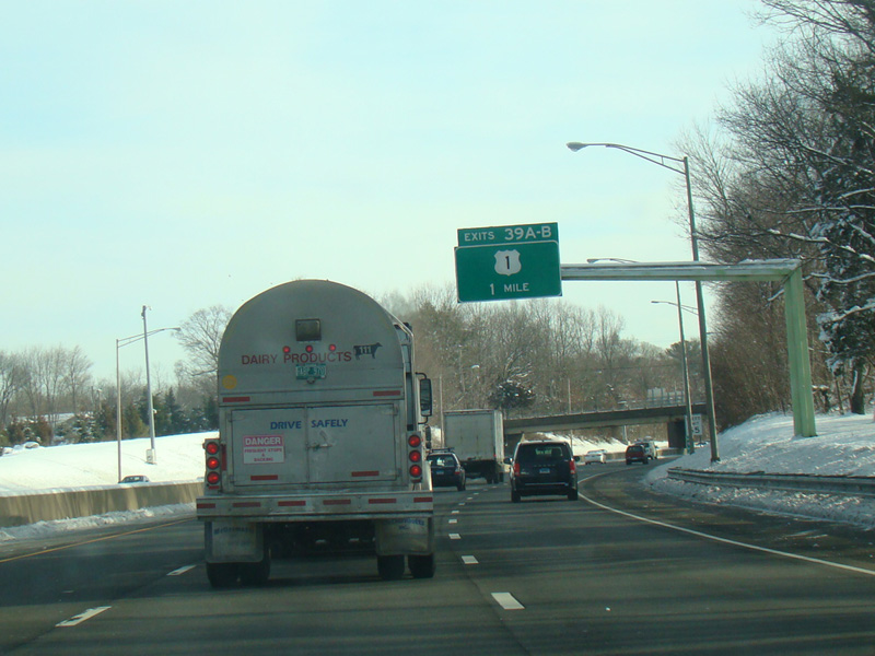
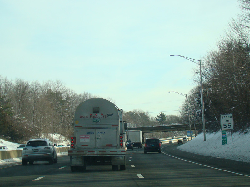
Exits 39A-B are for Boston Post Road (US 1).
Photos taken February 2016.
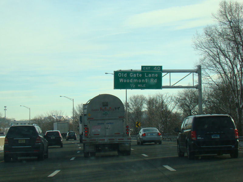
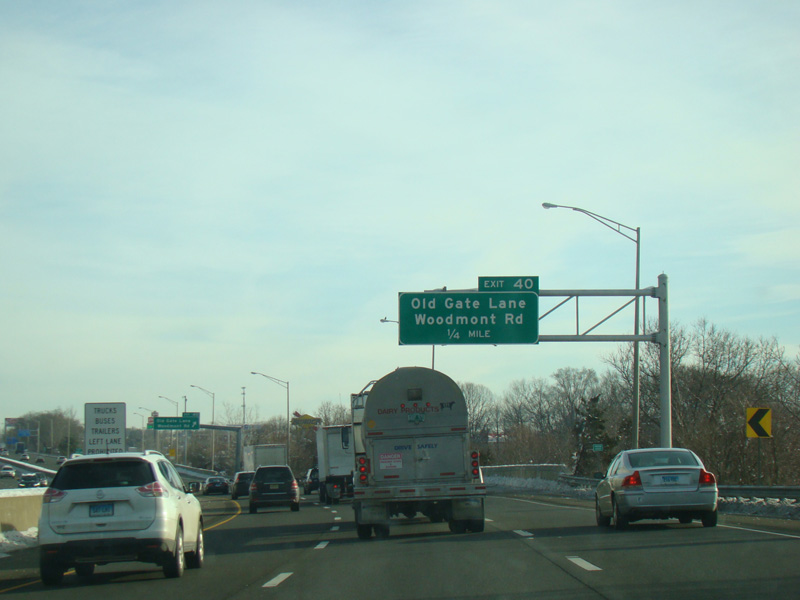
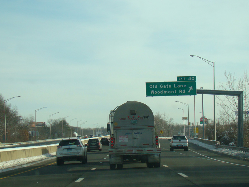
Exit 40 is for Old Gate Lane (SR 708) and Woodmont Road.
Photos taken February 2016.
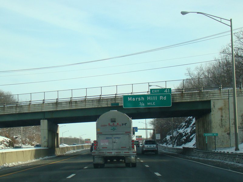

Exit 41 is for Marsh Hill Road.
Photos taken February 2016.
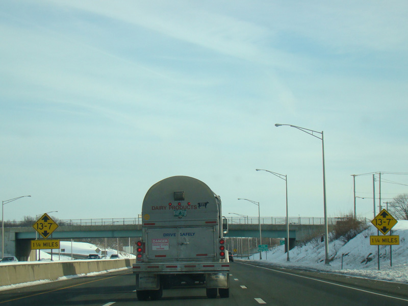
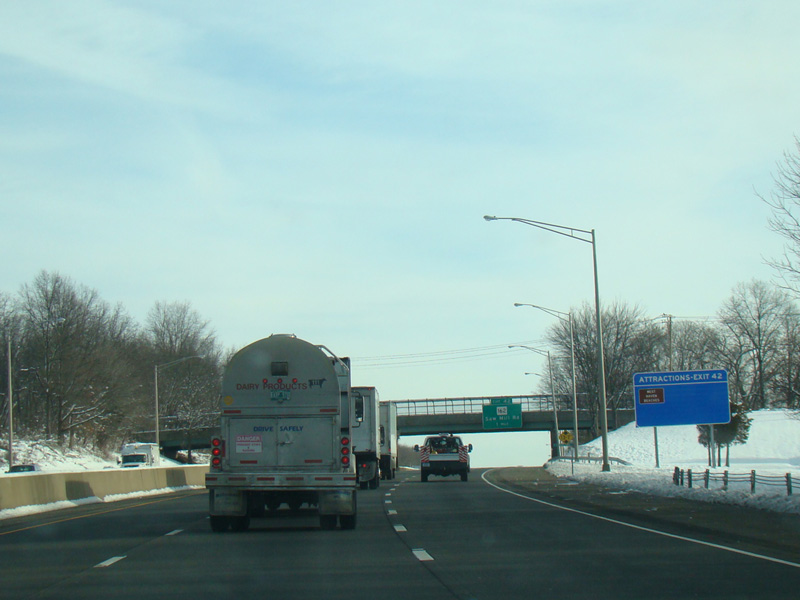
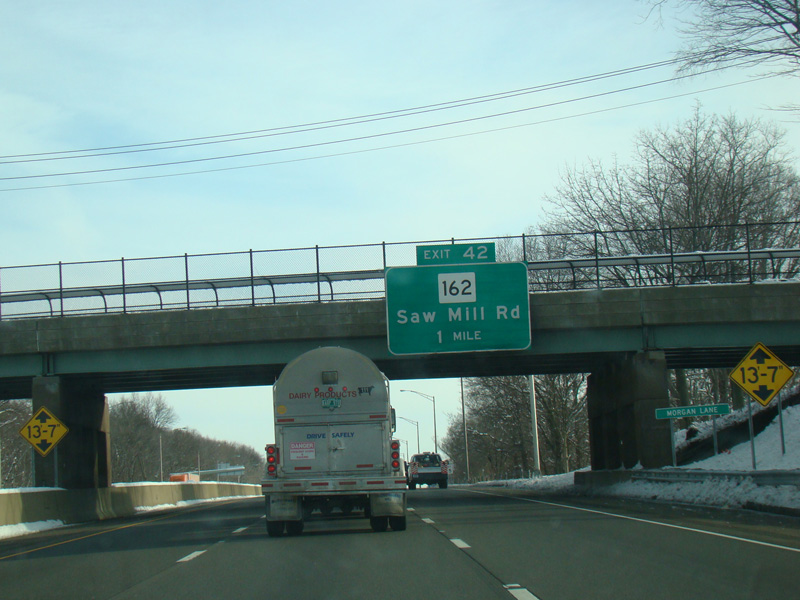
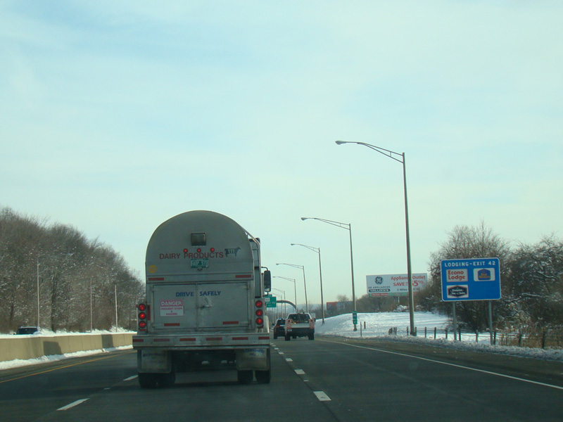
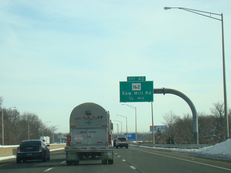
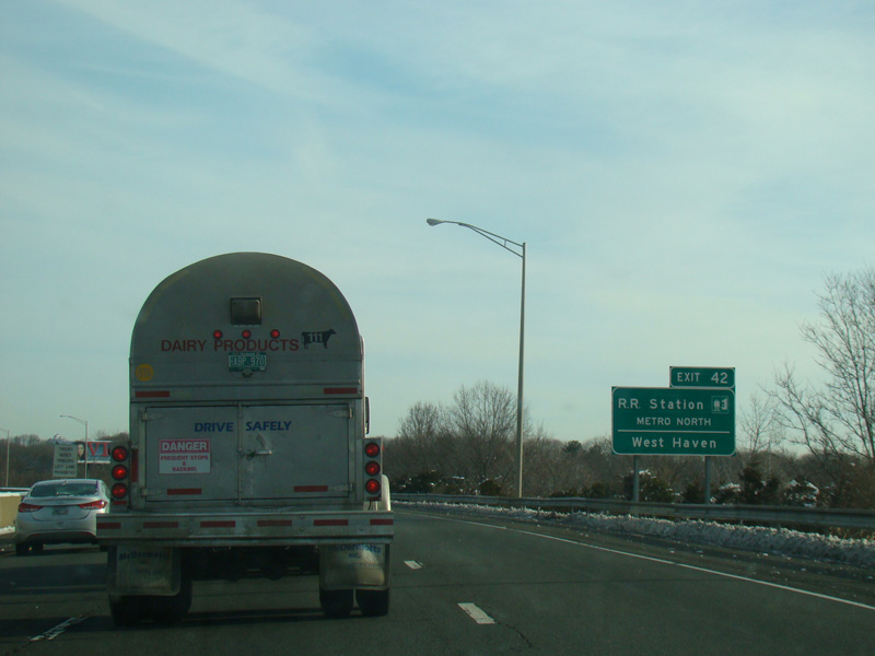
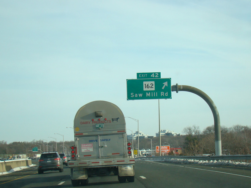
Exit 42 is for Saw Mill Road (CT 162).
Photos taken February 2016.
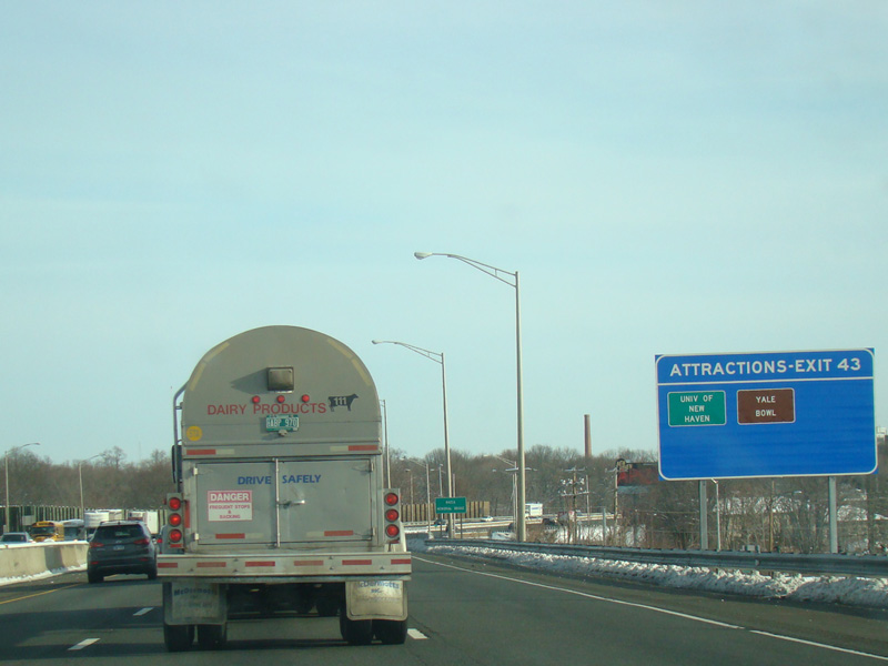
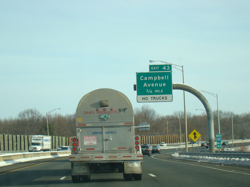
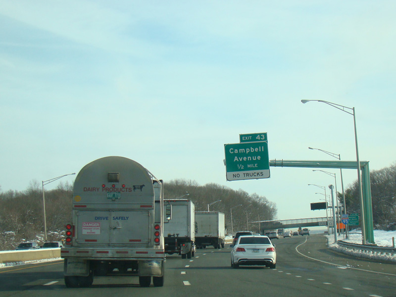
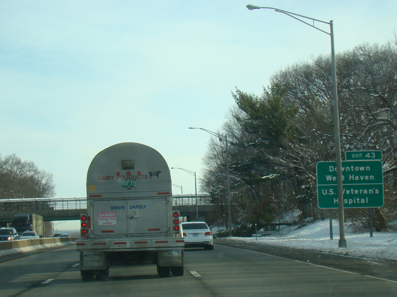
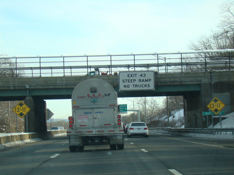
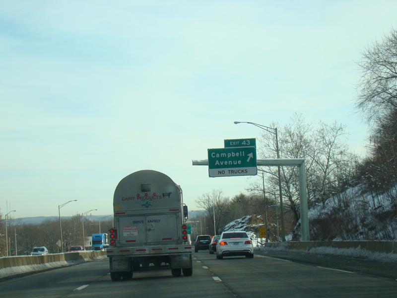
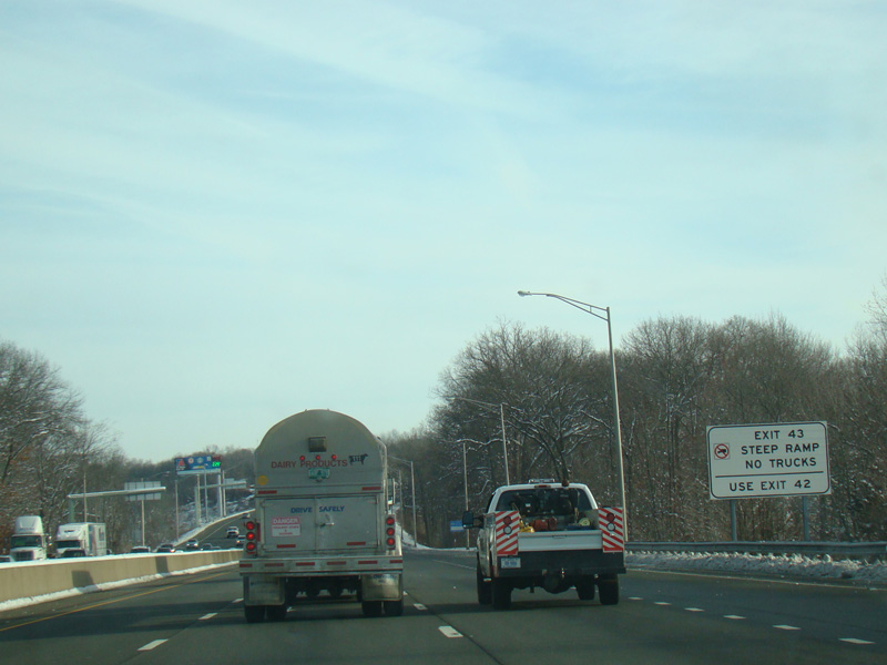
Exit 43 is for Campbell Avenue.
Photos taken February 2016.
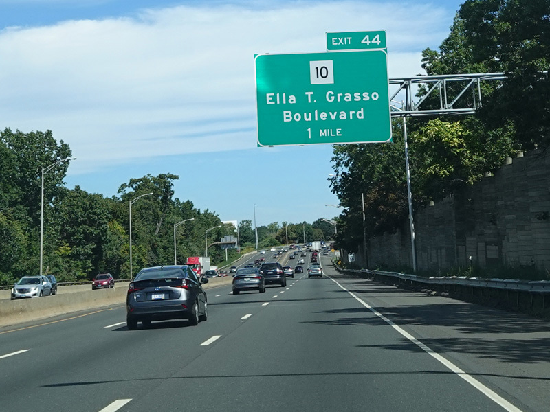
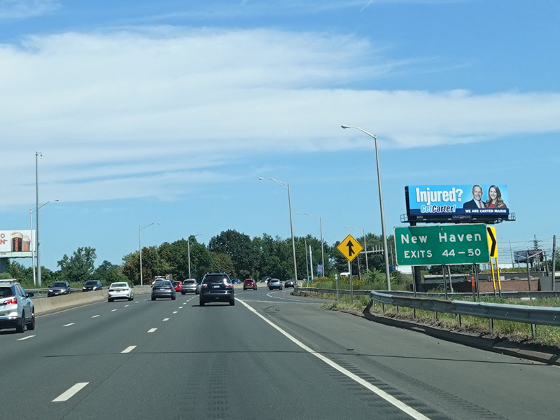
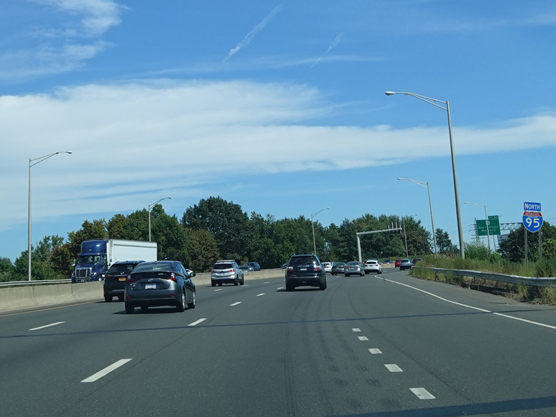
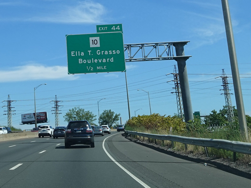
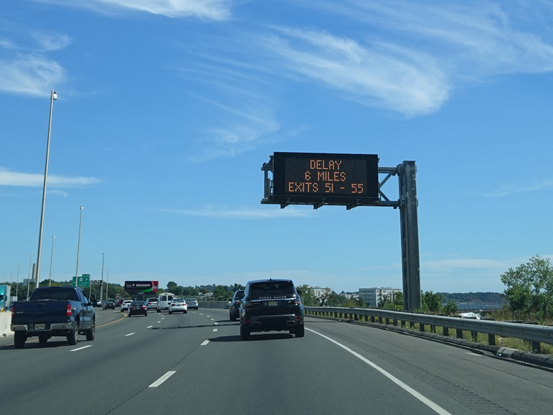
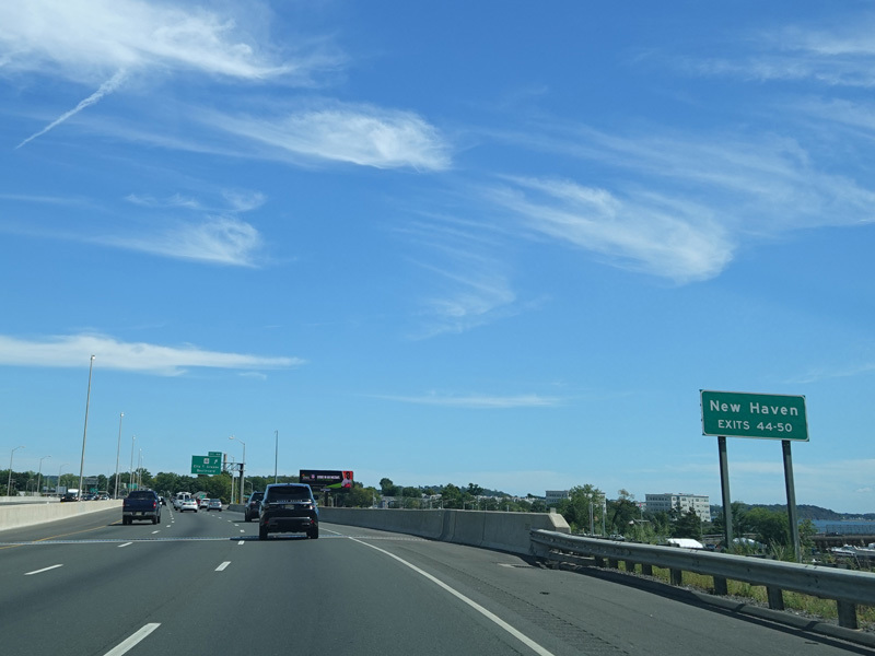
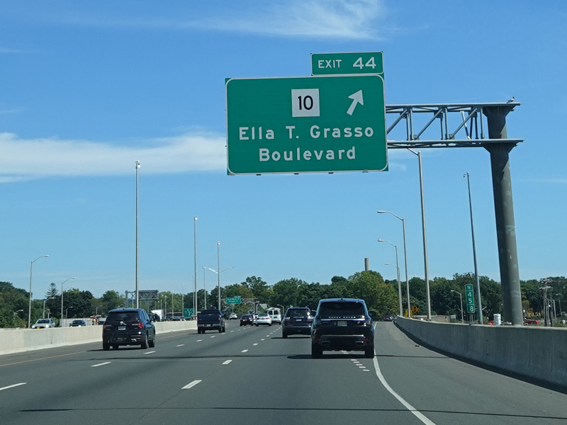
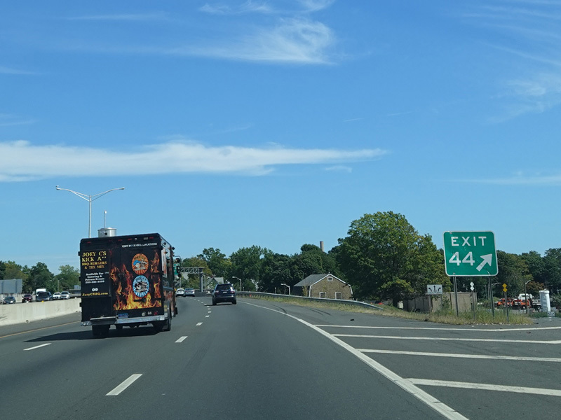
Exit 44 is for Ella T. Grasso Boulevard (CT 10).
Photos taken September 2022.
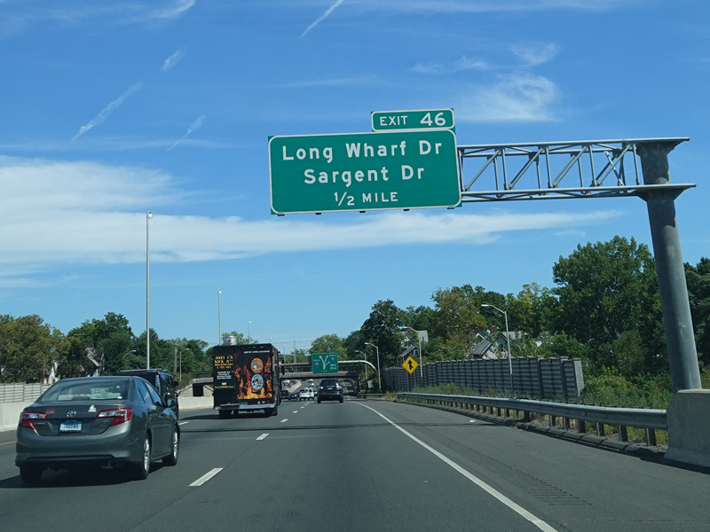
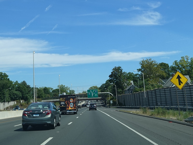
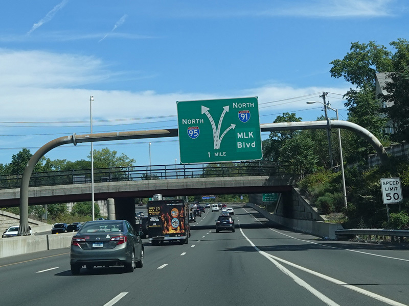
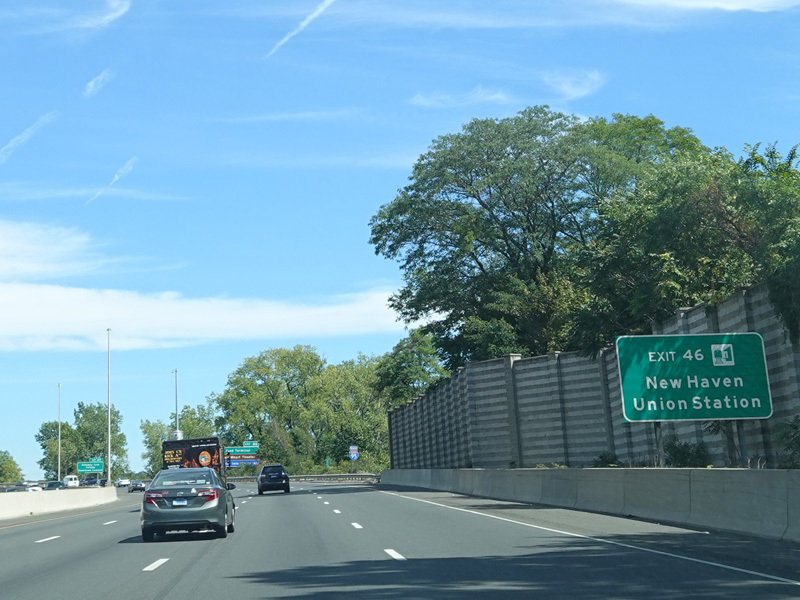
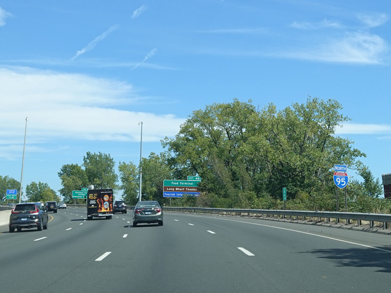
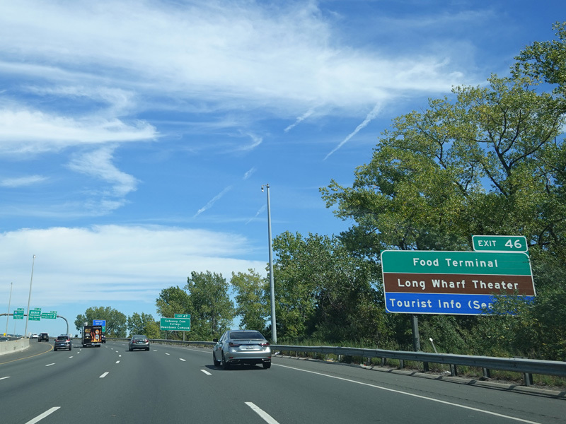
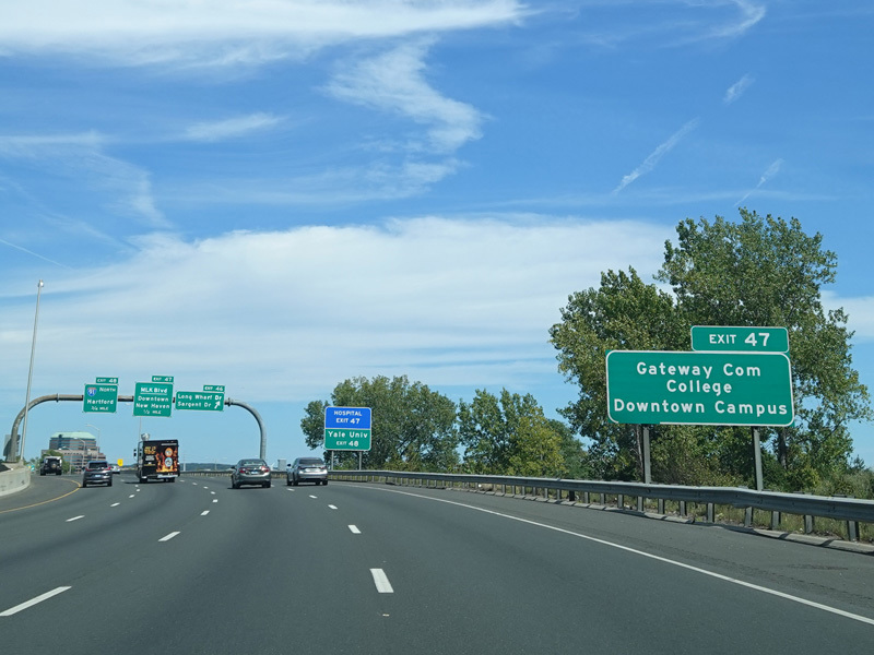
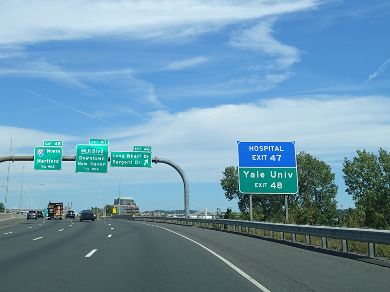
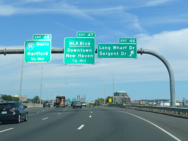
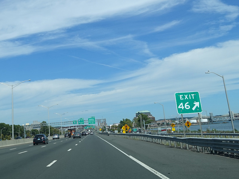
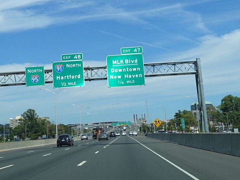
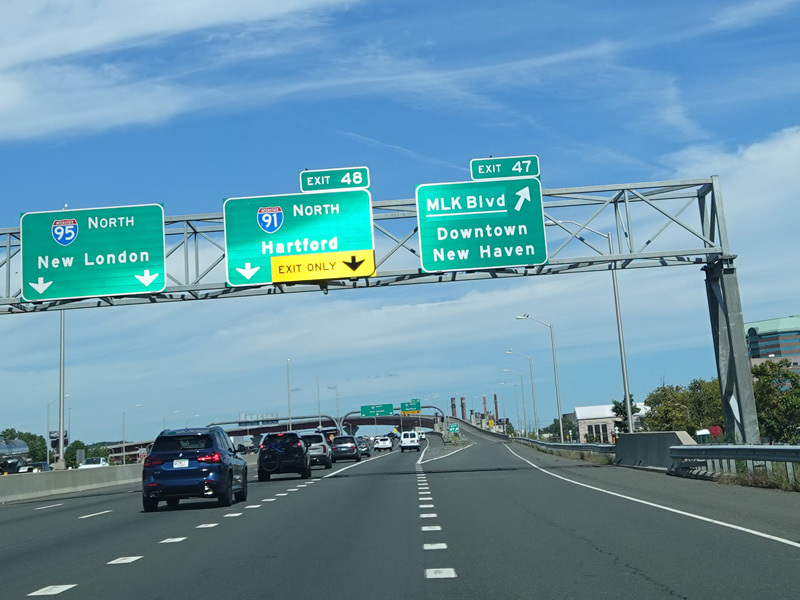
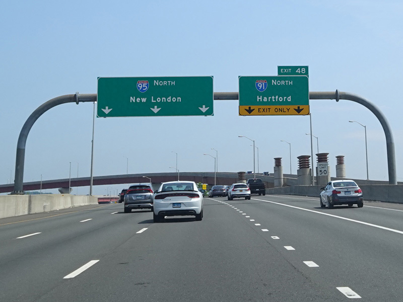
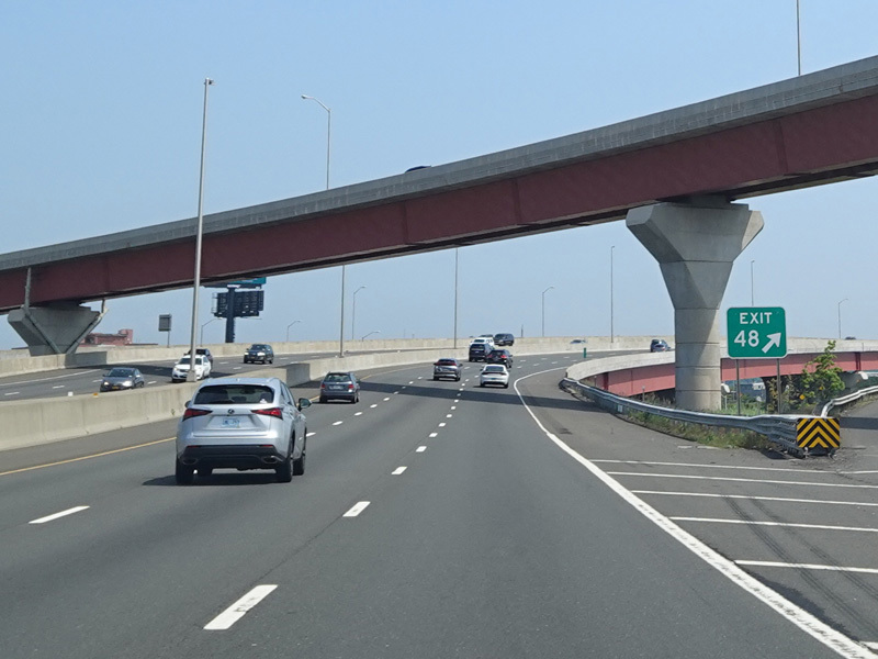
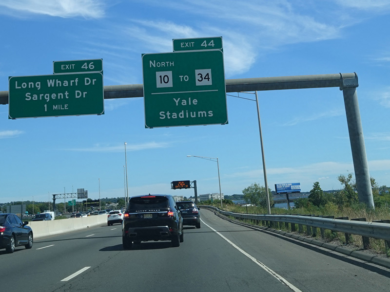
Exit 46 is for Long Wharf Drive and Sargent Drive. Exit 47 is for MLK Boulevard (CT 34) west. Exit 48 is for I-91 north.
Photos taken 2022-2024.
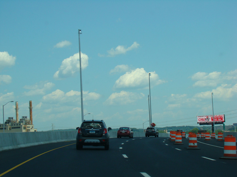
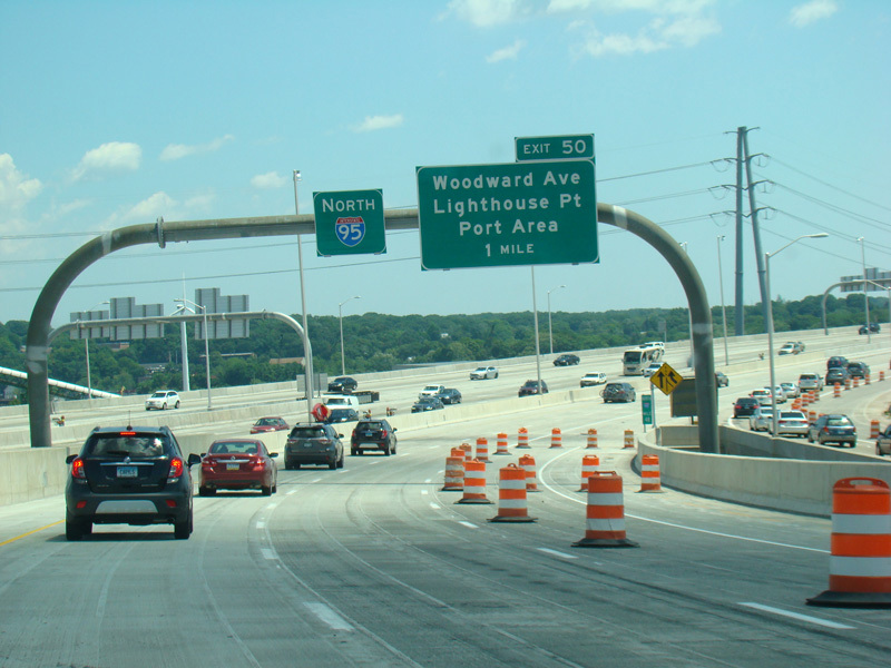
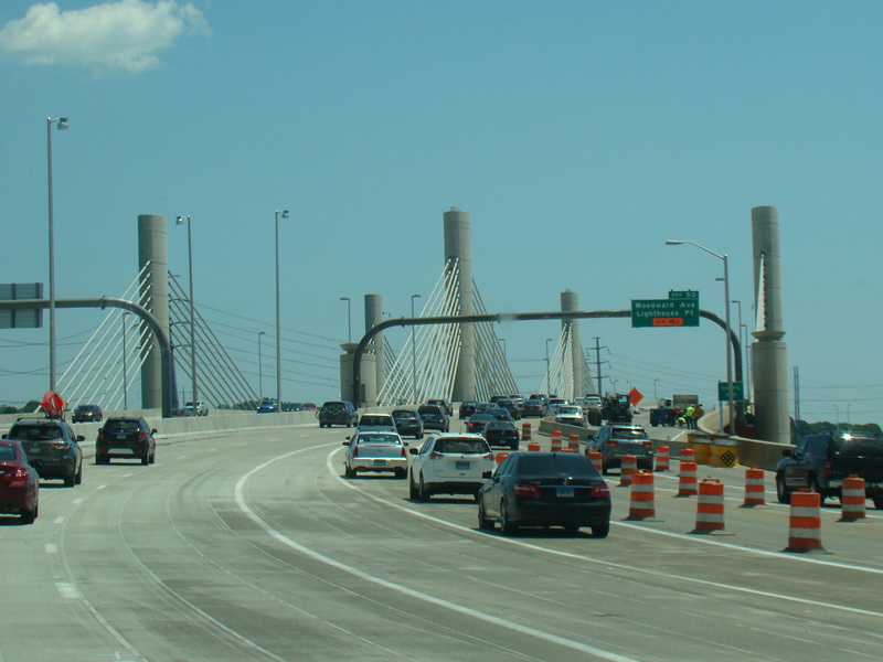
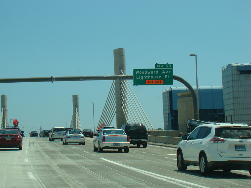
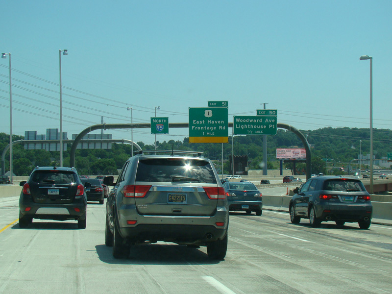
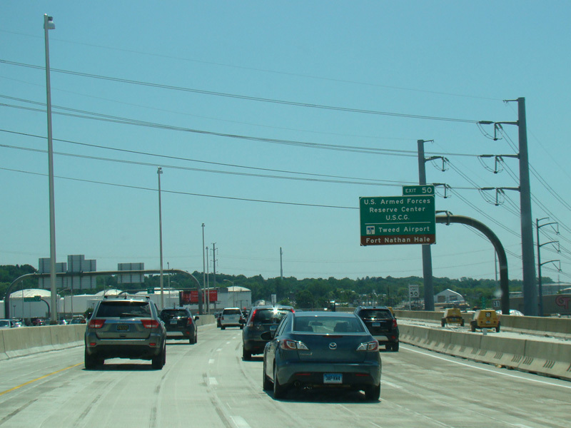
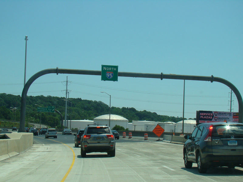
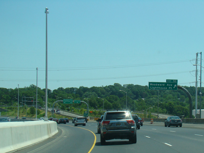
The Q Bridge carries the Connecticut Turnpike across New Haven Harbor. Exit 50 is for Woodward Avenue.
Photos taken July 2016.
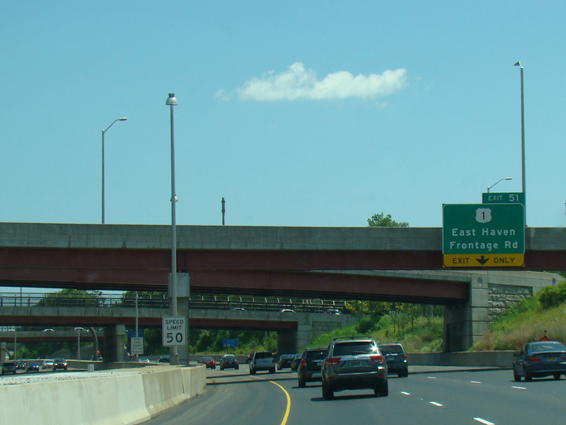
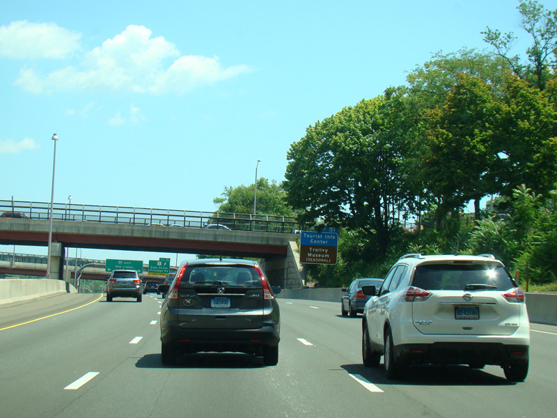
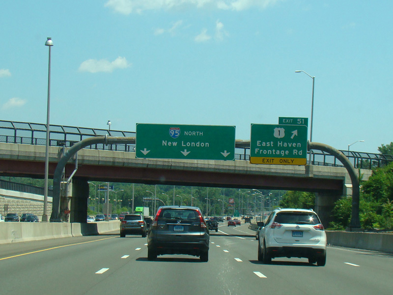
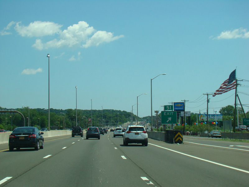
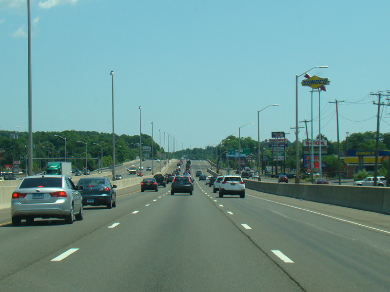
Exit 51 is for Frontage Road (US 1).
Photos taken July 2016.
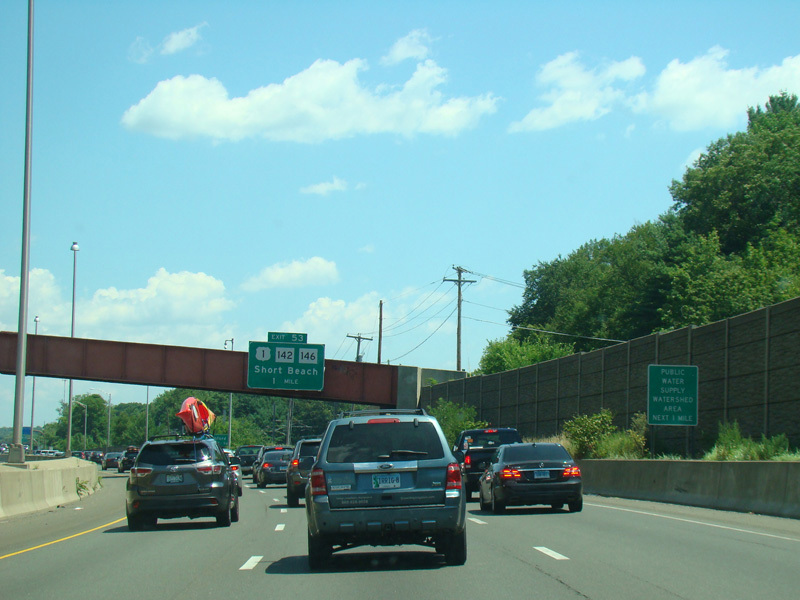
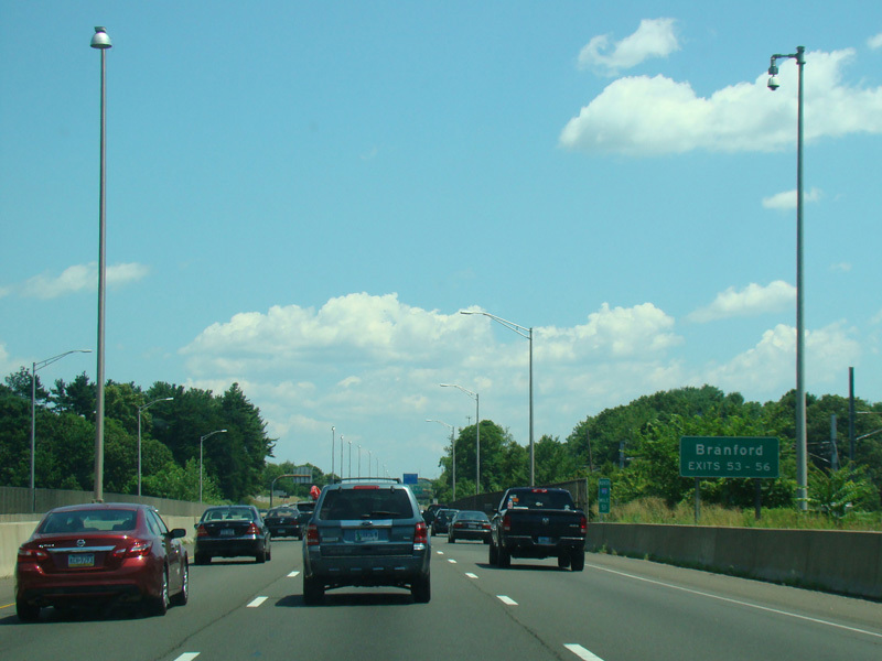
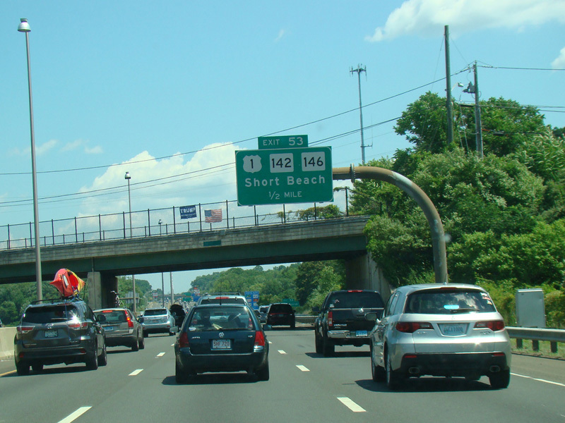
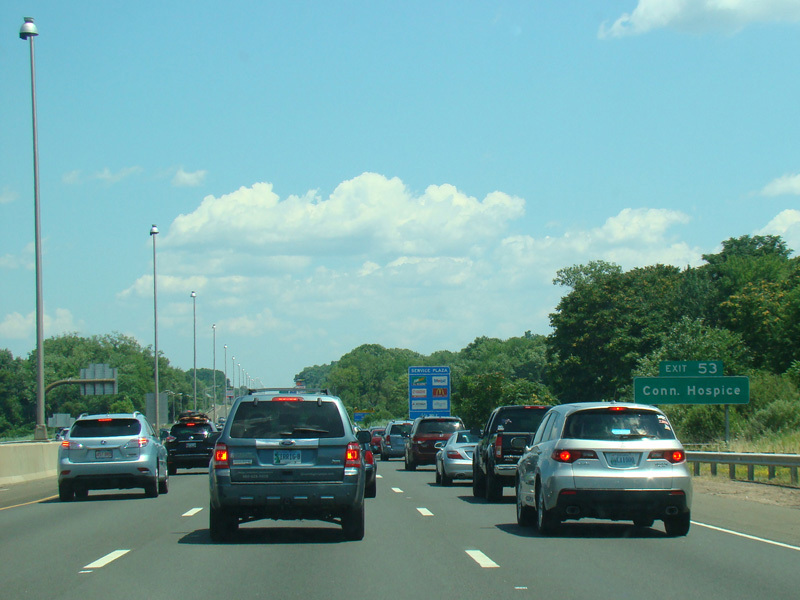
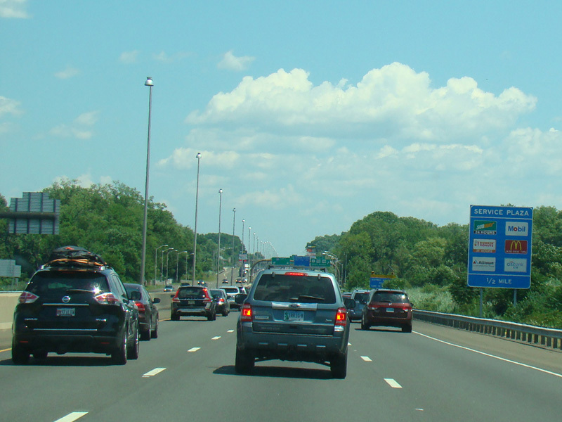
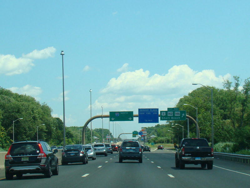
Exit 53 is for West Main Street (US 1), North Main Street (US 1), Short Beach Road (CT 142), and Main Street (CT 146).
Photos taken July 2016.
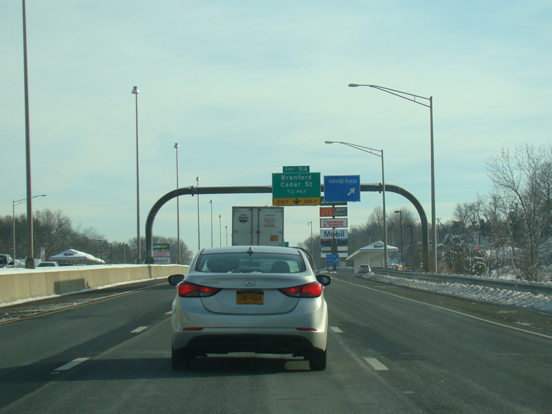
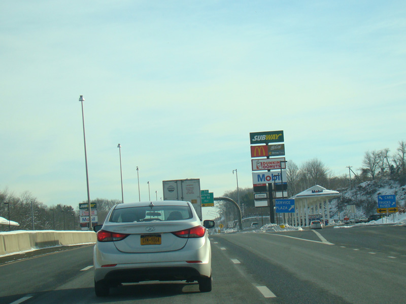
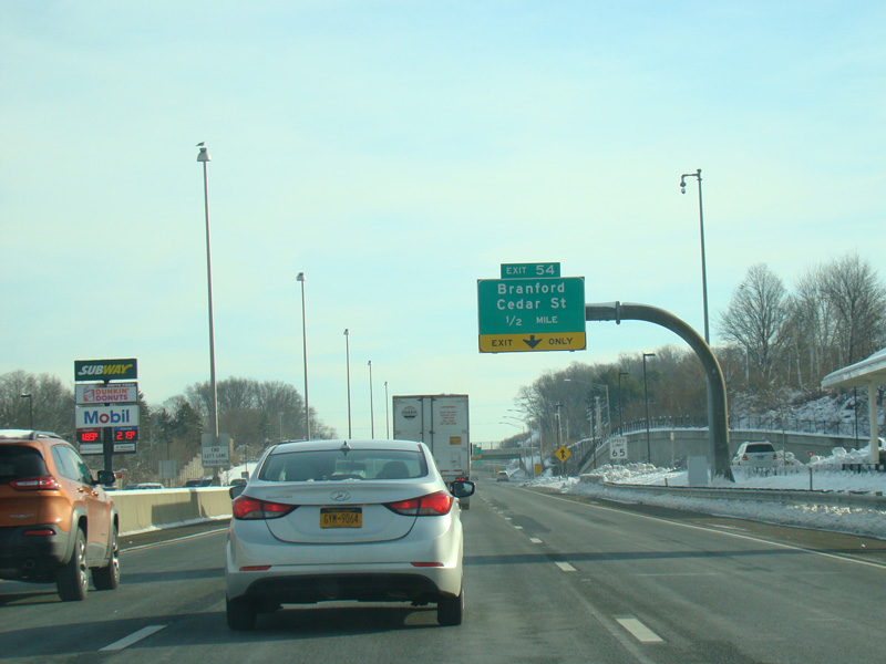
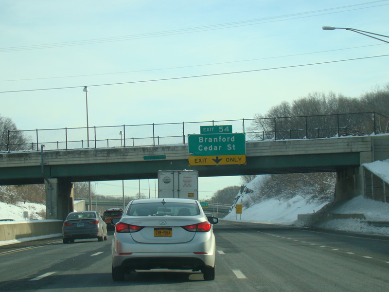
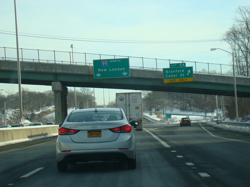
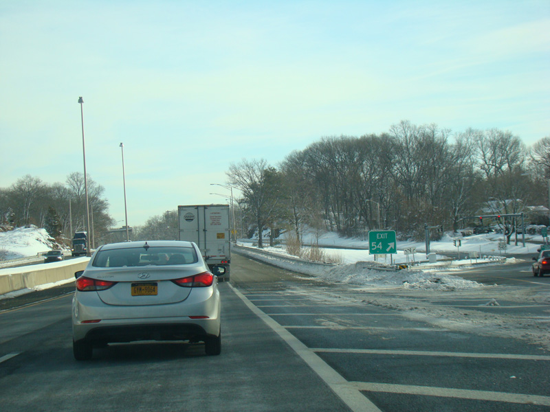
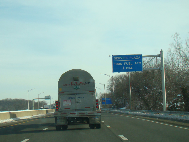
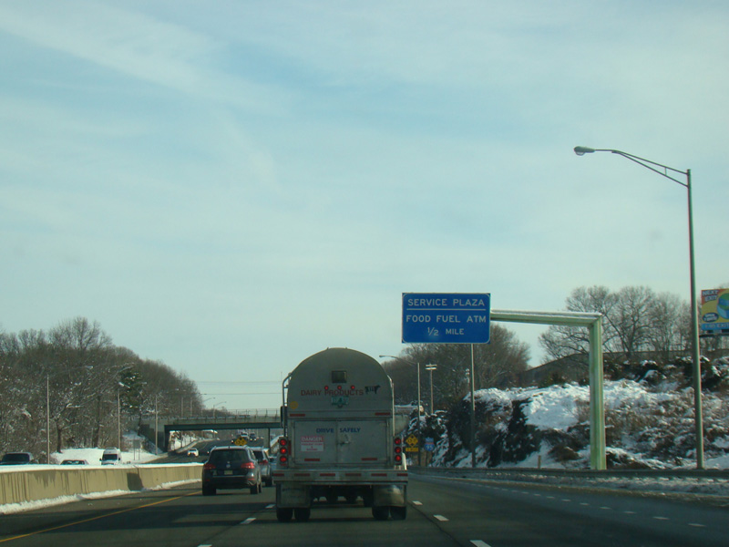
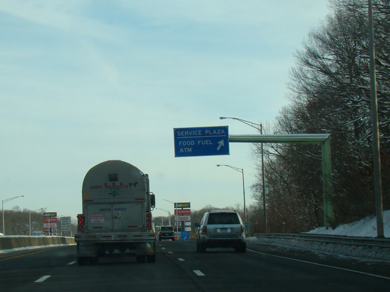
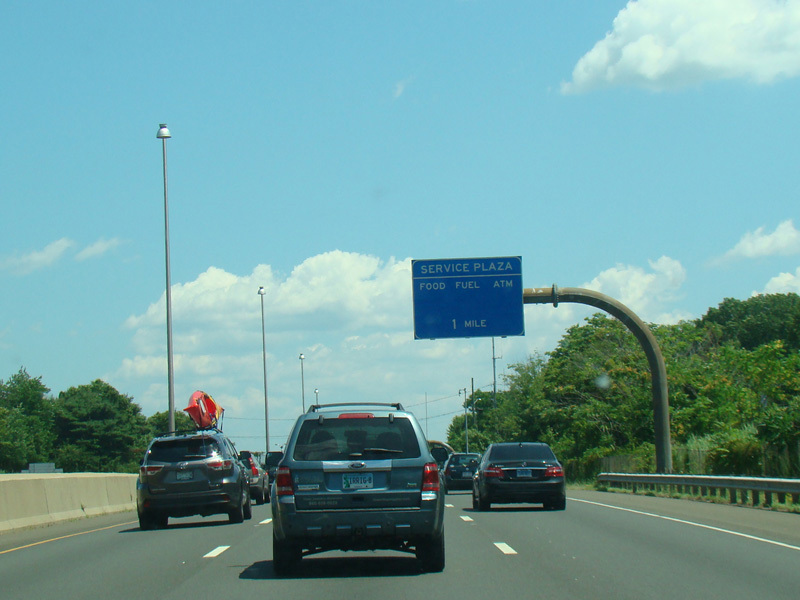
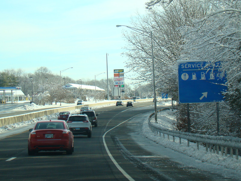
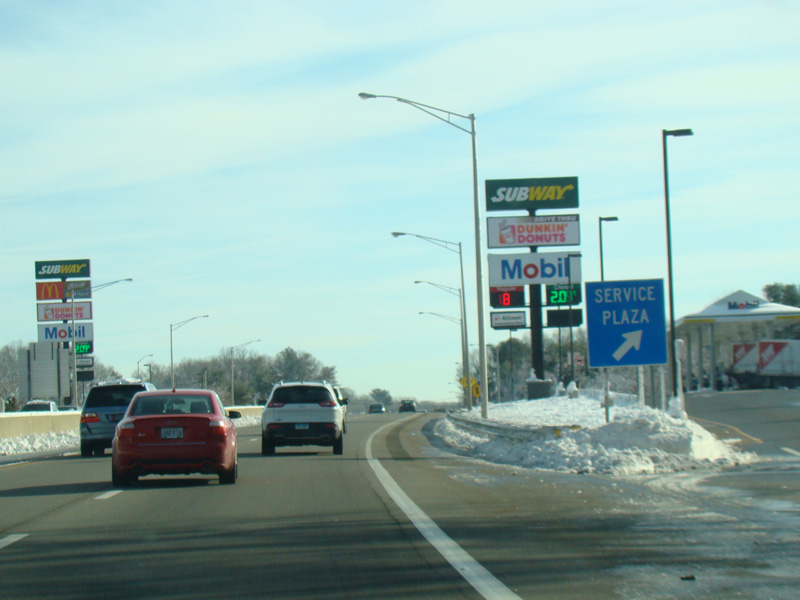
There is a service plaza between exits 53 and 54. Exit 54 is for Cedar Street.
Photos taken February 2016.
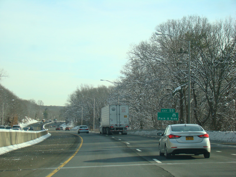
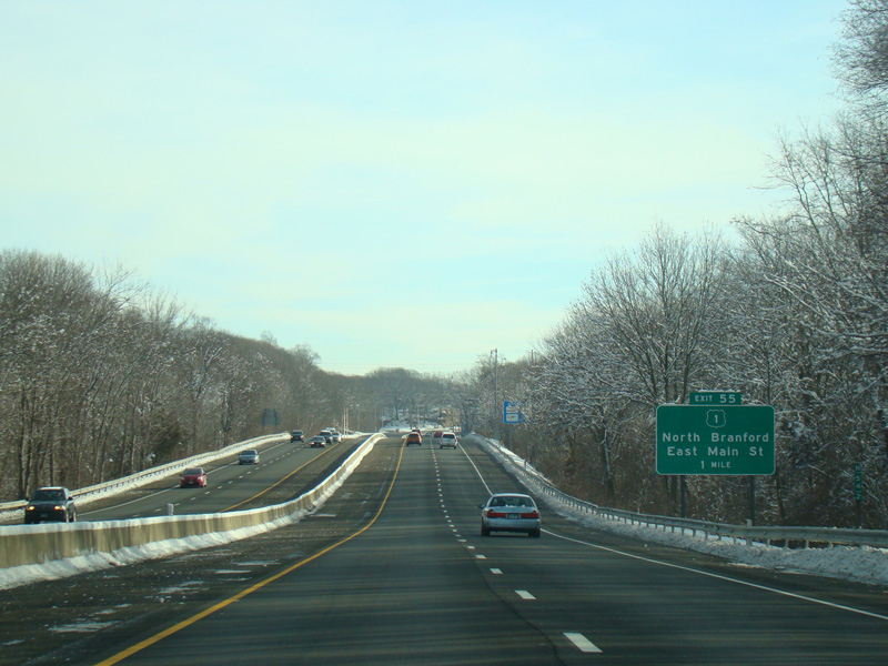
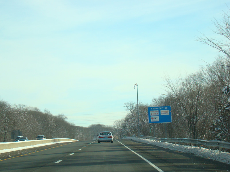
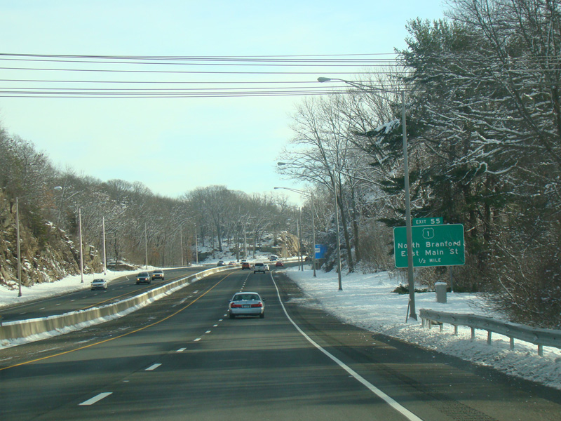
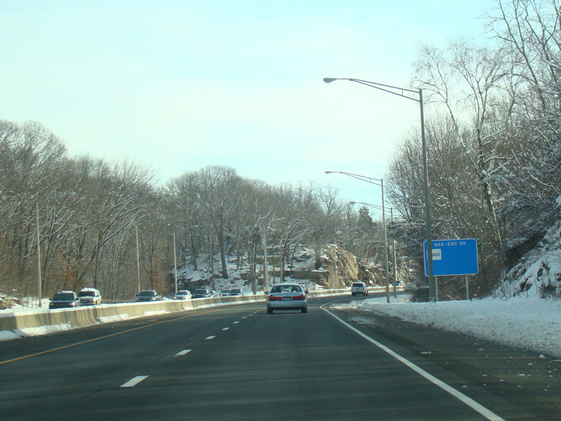
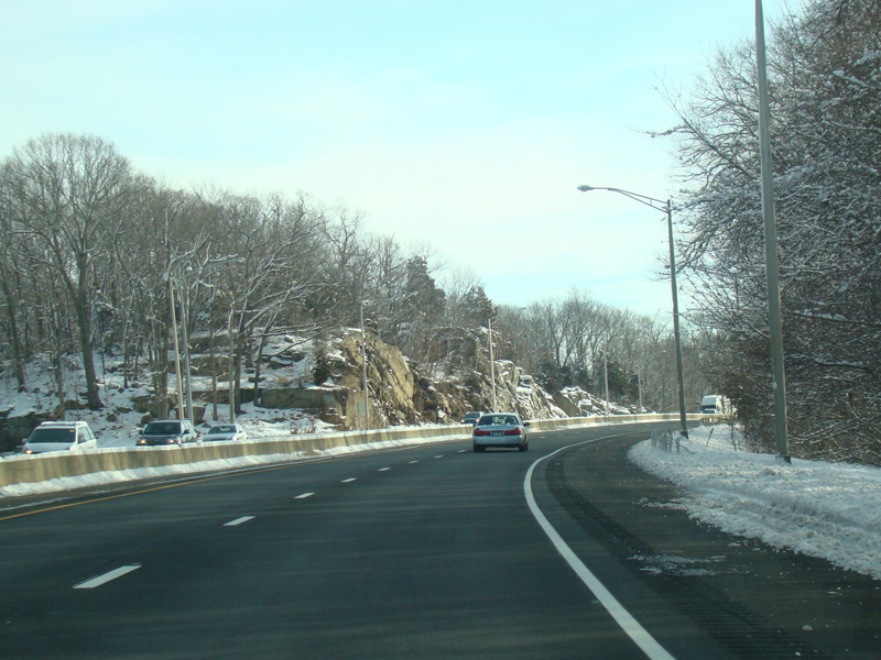
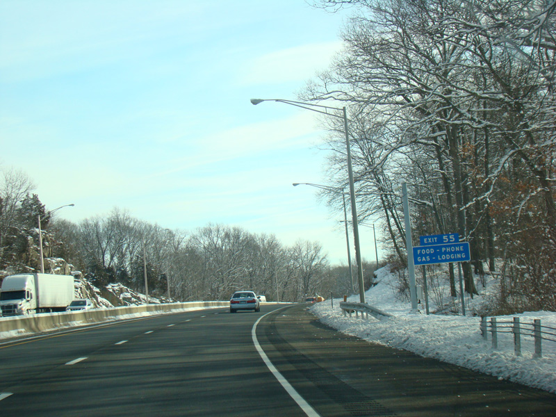
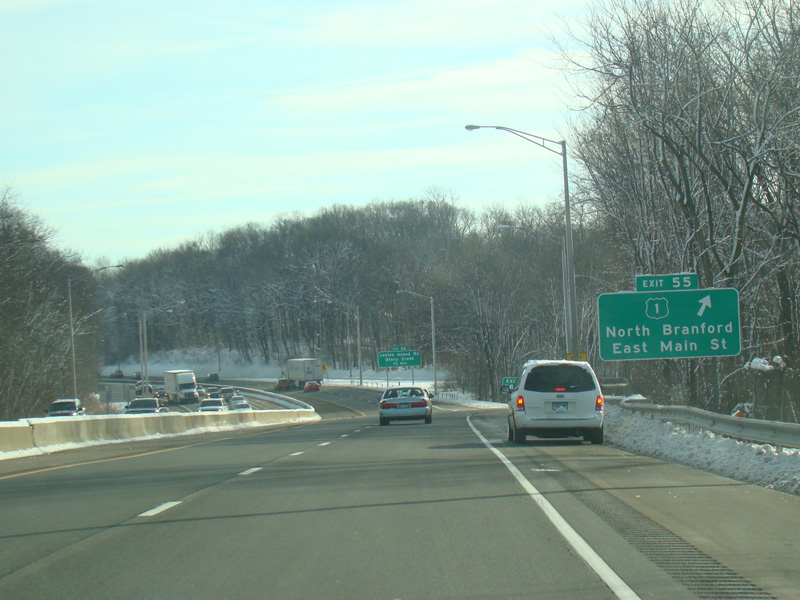
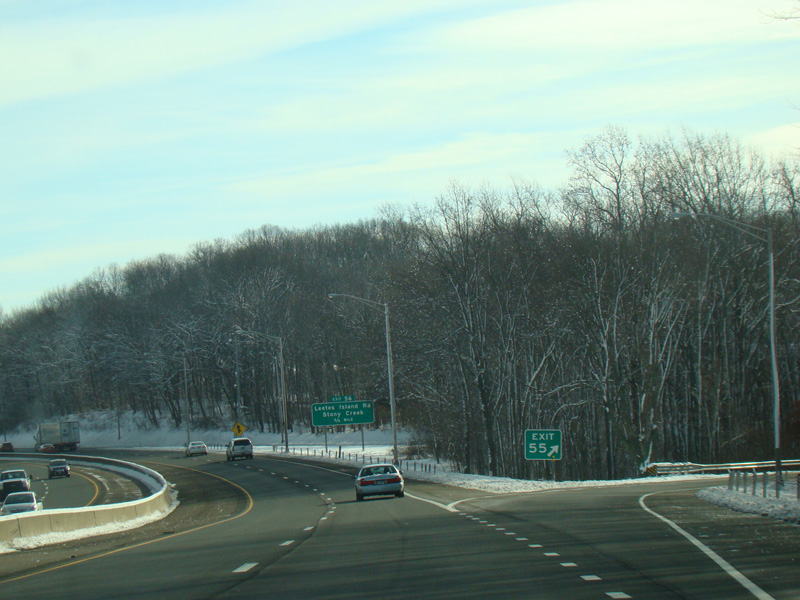
Exit 55 is for East Main Street (US 1).
Photos taken February 2016.
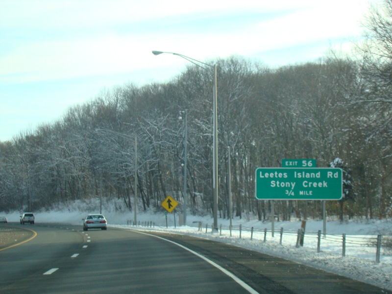

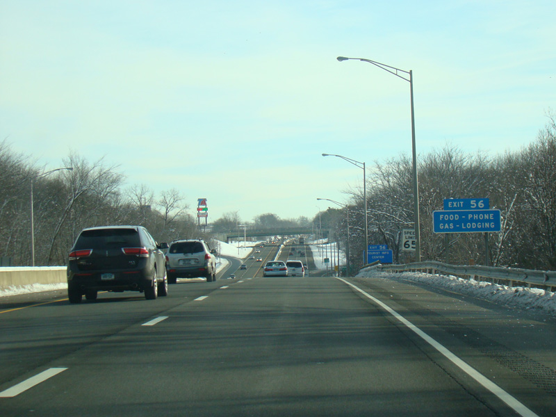
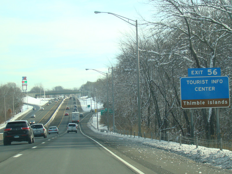
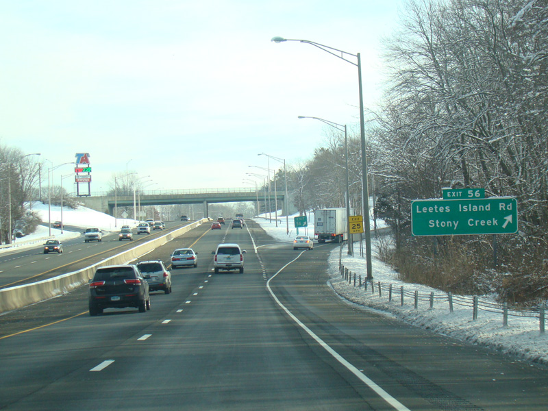

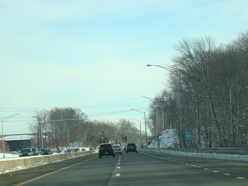
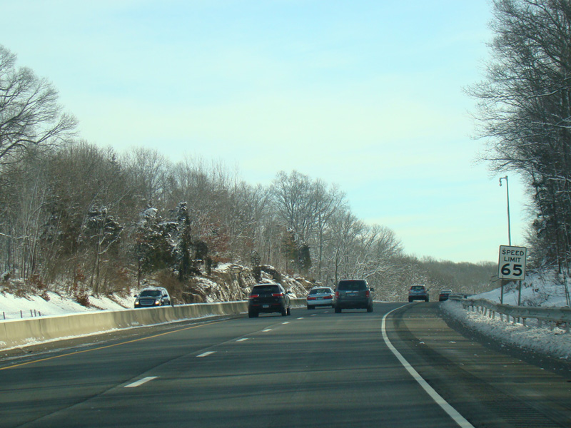
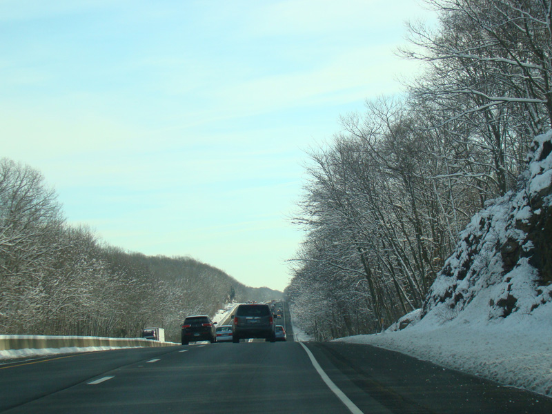
Exit 56 is for Leetes Island Road.
Photos taken February 2016.
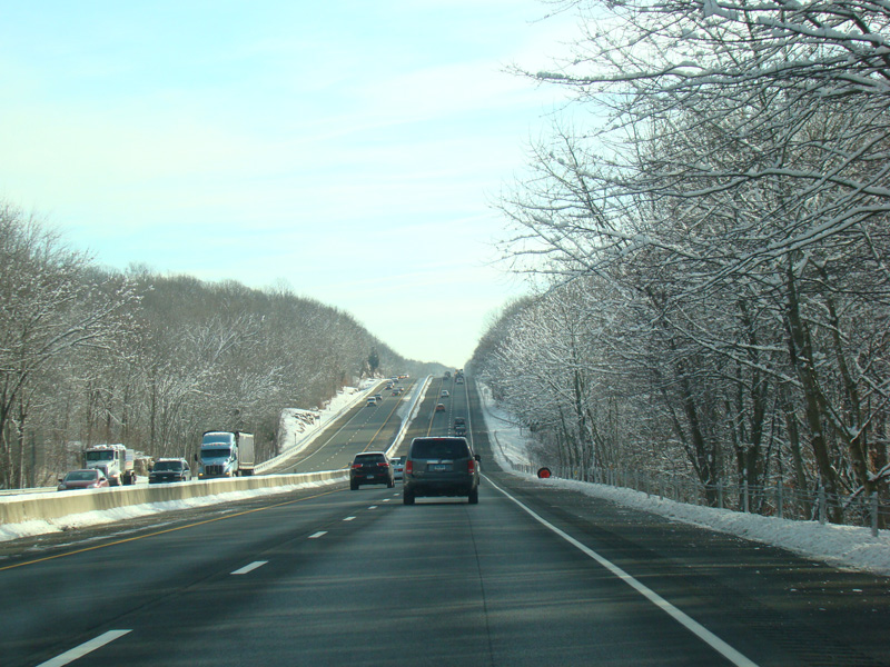
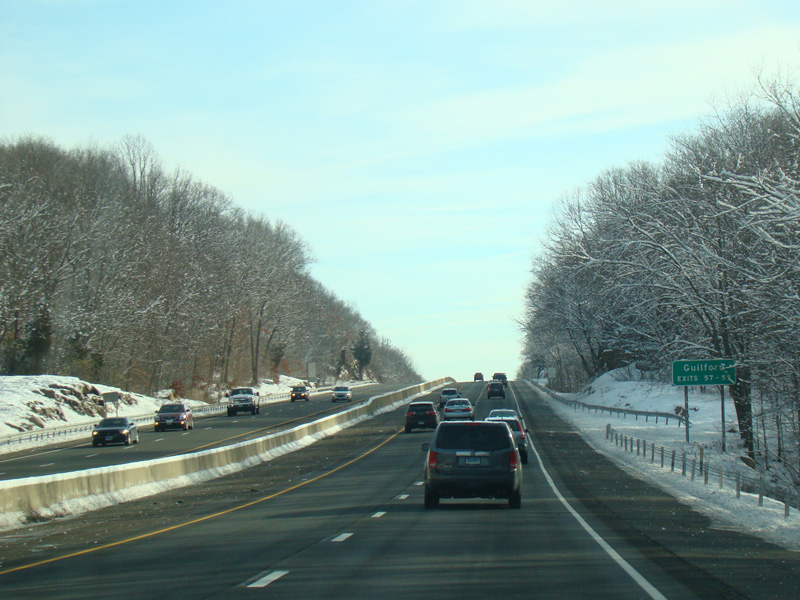
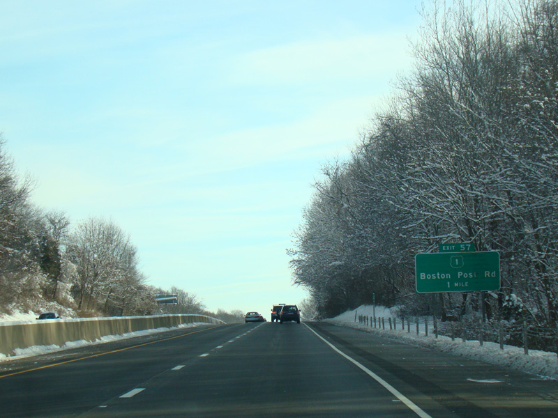
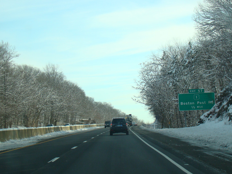
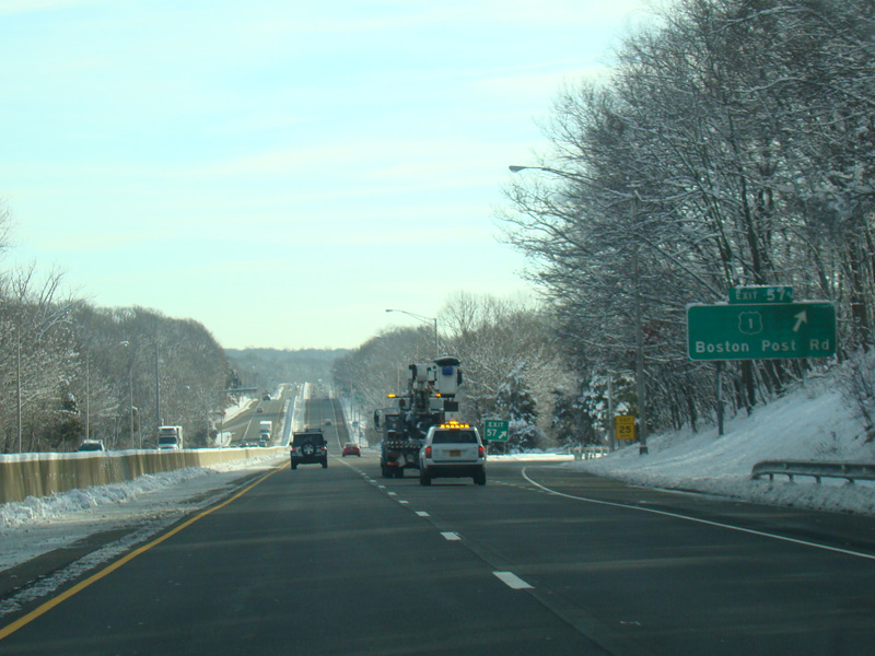
Exit 57 is for Boston Post Road (US 1).
Photos taken February 2016.

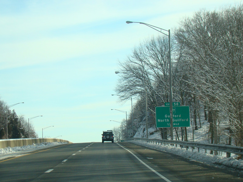
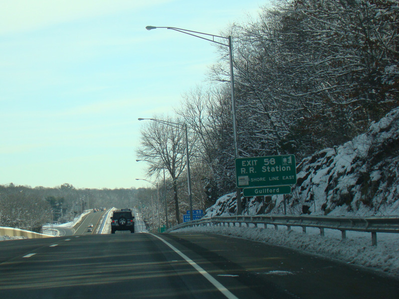
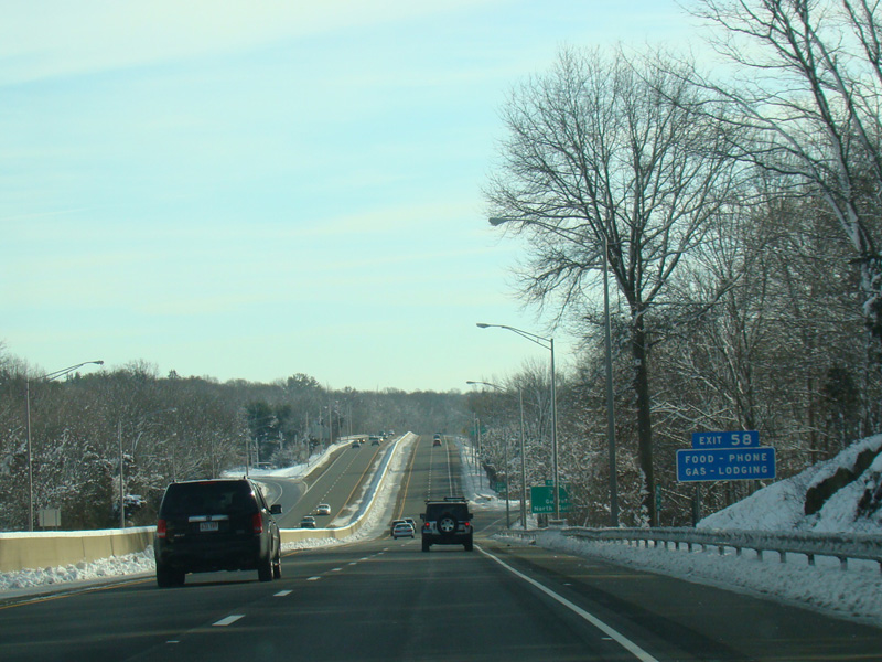

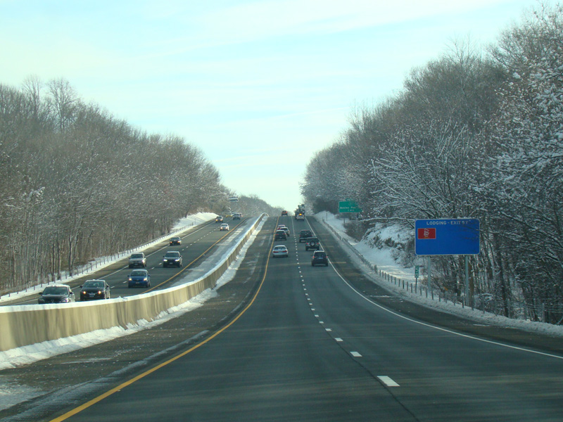
Exit 58 is for Church Street (CT 77).
Photos taken February 2016.
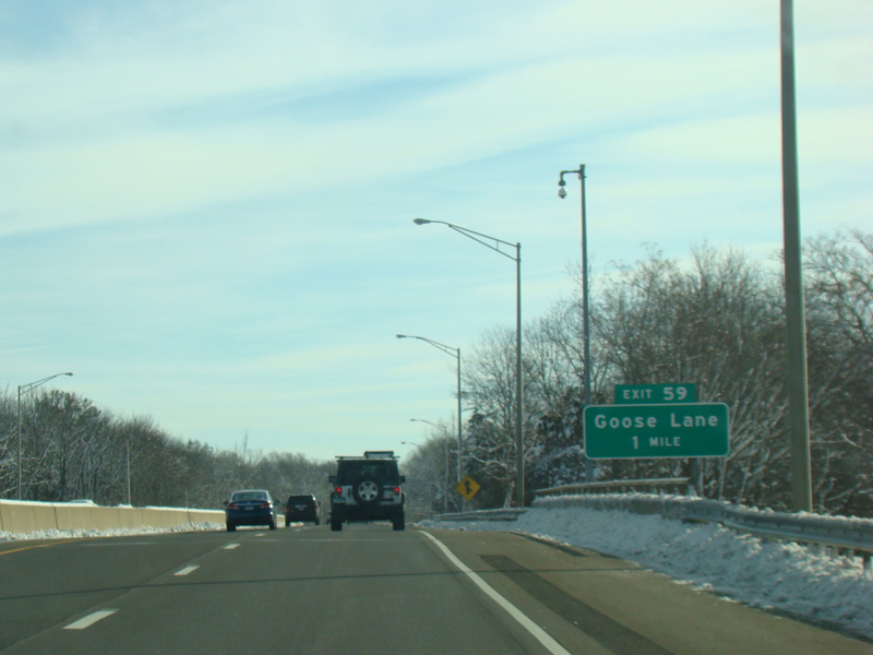
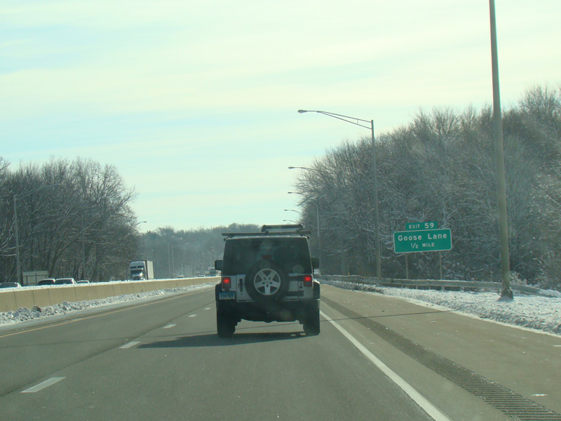
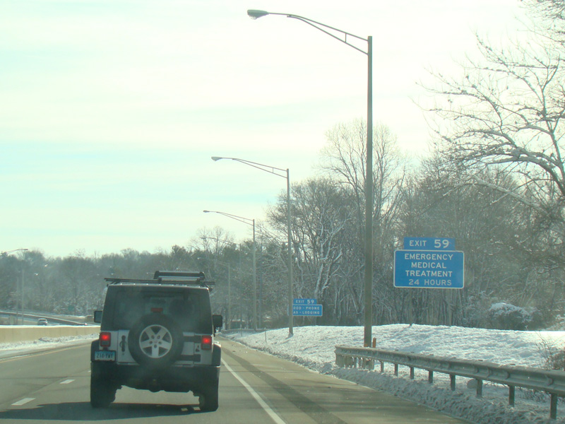
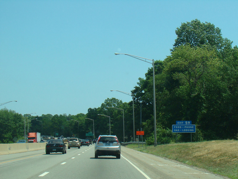
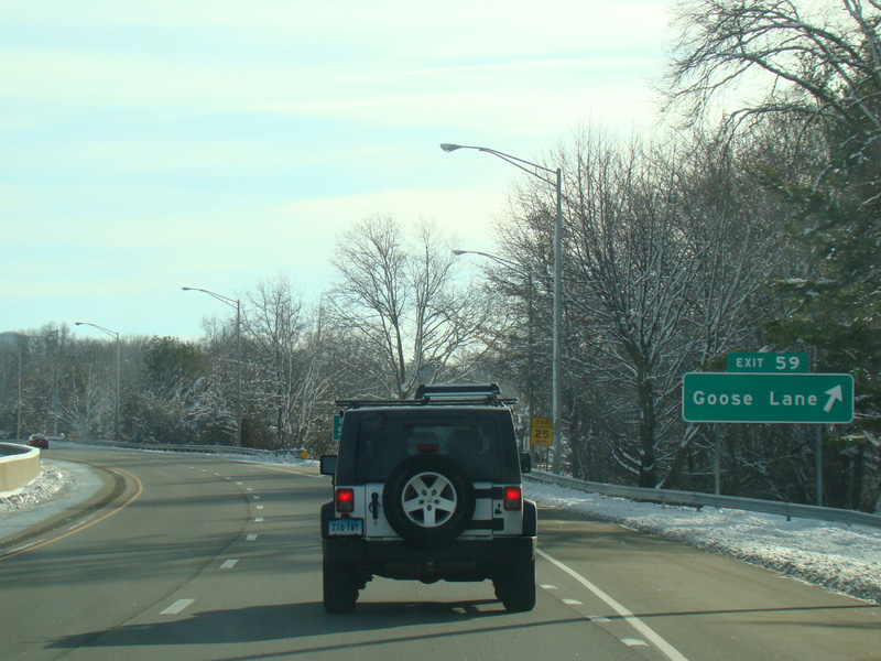
Exit 59 is for Goose Lane (SR 718).
Photos taken February-July 2016.
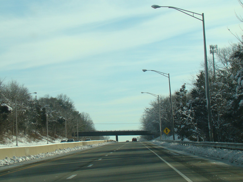
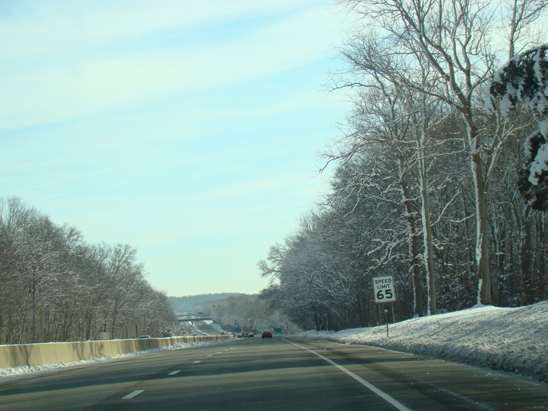
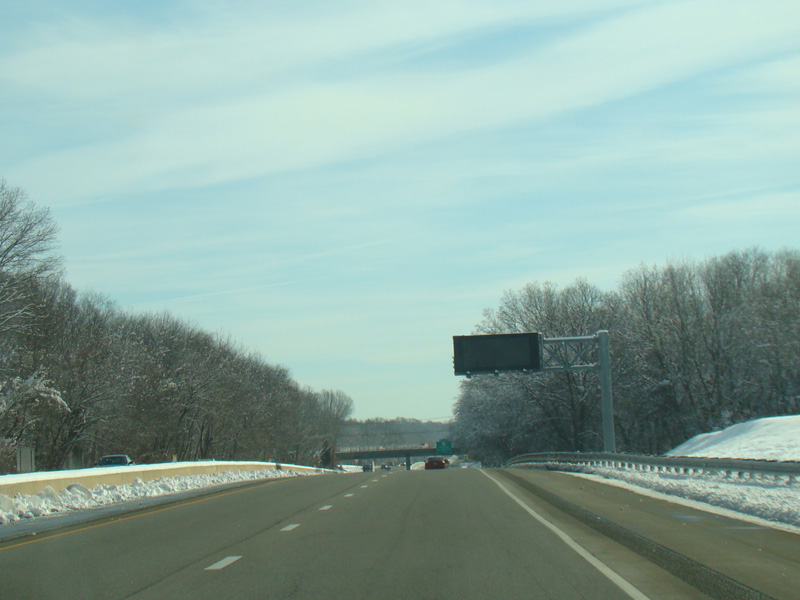
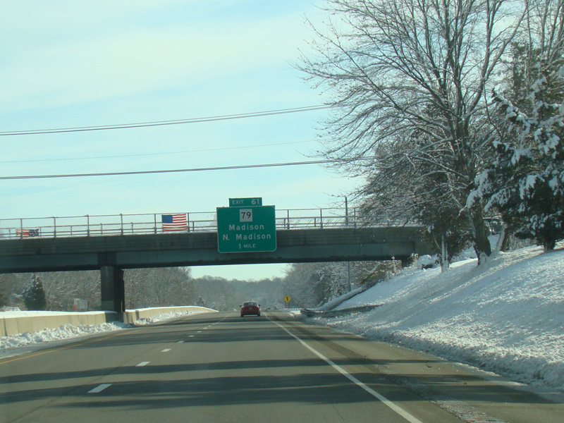
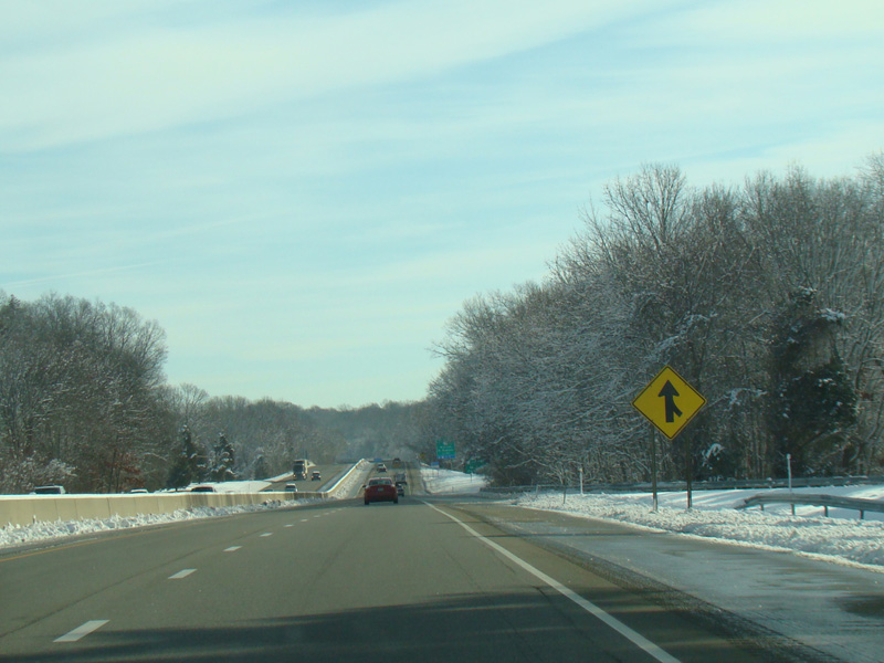
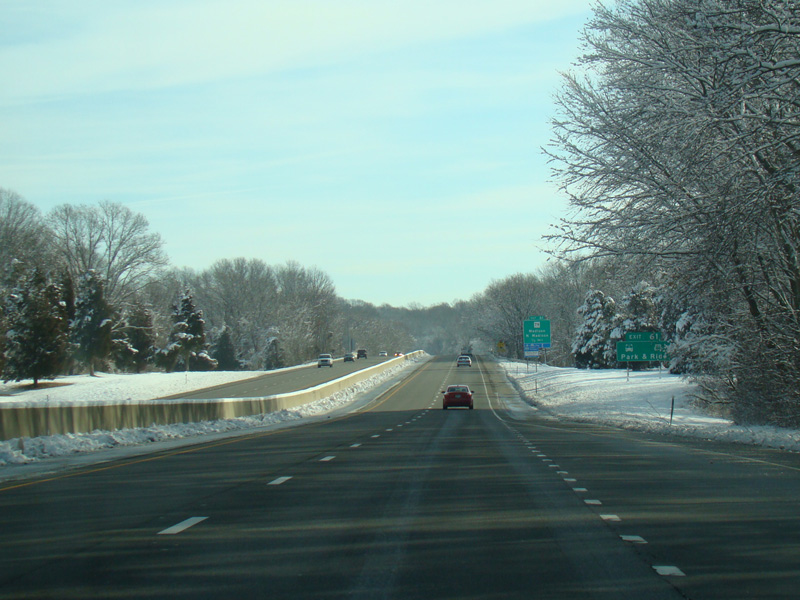
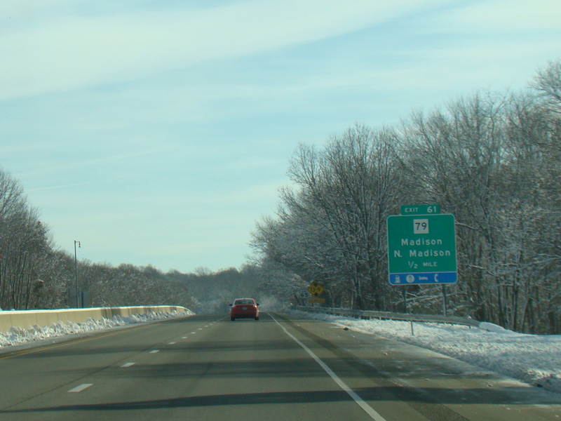
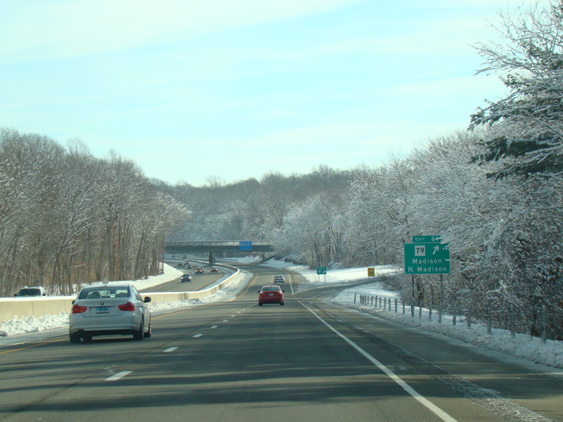
Exit 61 is for Durham Road (CT 79).
Photos taken February 2016.
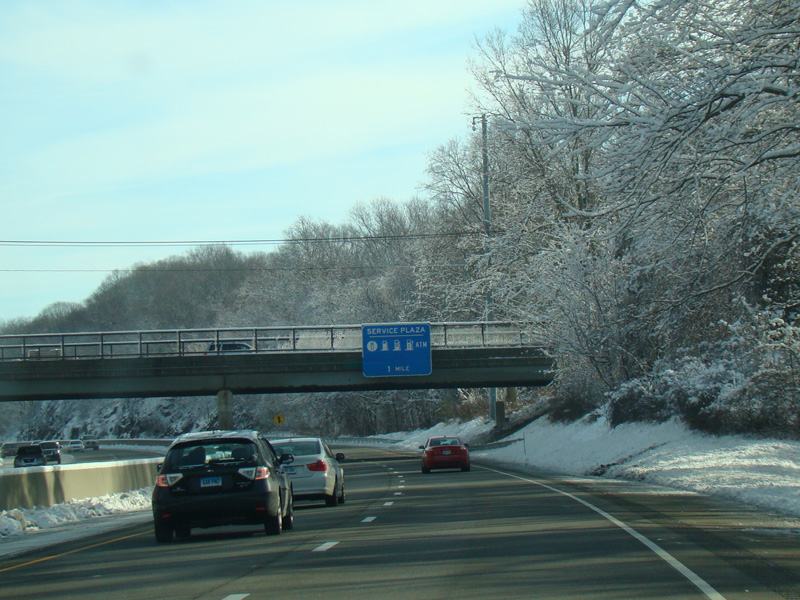
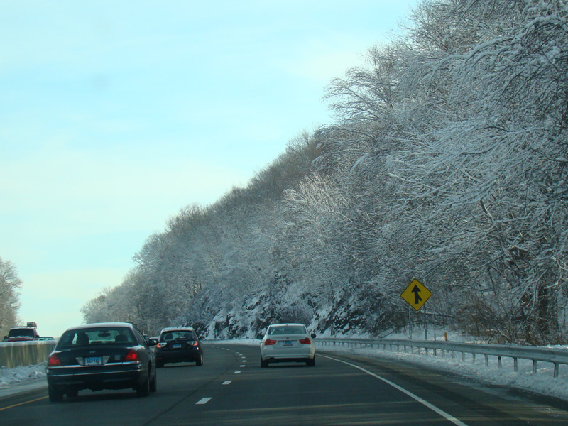

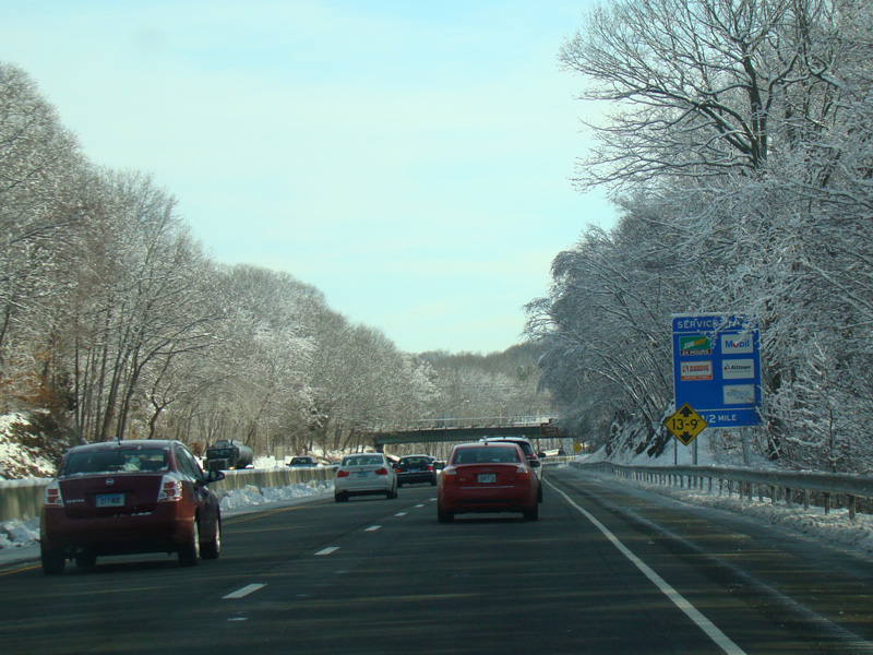
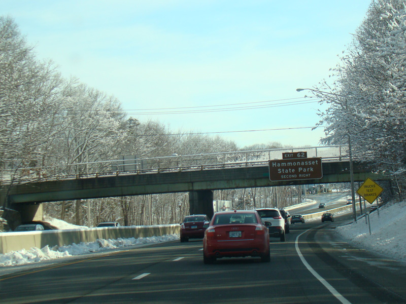
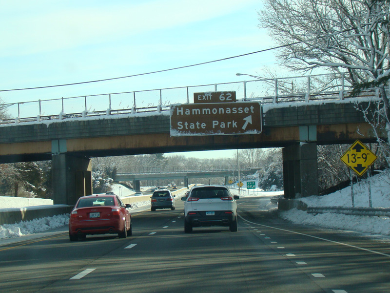
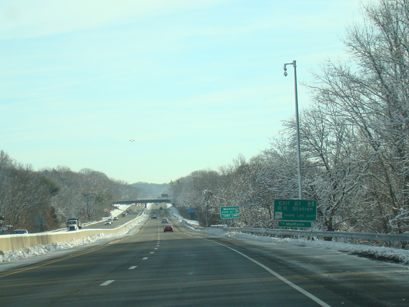
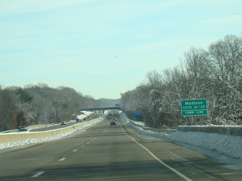
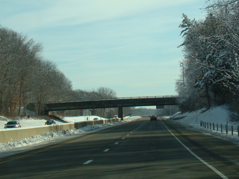
There is a service area between exits 61 and 62. Exit 62 is for Hammonasset State Park.
Photos taken February 2016.